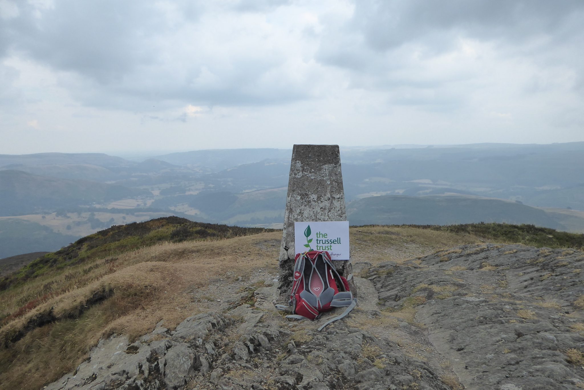
For many years a key feature of my walking has been to visit Ordnance Survey triangulation pillars, also known as trig pillars. These pillars were introduced in 1935 in a project led by Brigadier Martin Hotine and for many years were essential in the production of detailed maps of the British Isles.
I could not do justice by trying to summarise the detailed history of the development and construction of over 6,500 of these pillars, far better to direct you to the OS website.
It was only when one of my Twitter buddies, Moira, asked how many I had “bagged” did I stop and try to work it out. I knew I had been to loads, but as I started trawling back through my pictures I realised I had not always taken a photograph. I took the view that if I didn’t have photographic evidence then I couldn’t include it in my “bagged” list.
Another key feature is the process by which I “bag” the trig pillar. It would appear that for some the pure act of getting to the trig, ideally with the minimum of walking, is all that matters, they seek the nearest point they can leave their vehicle. I recognise for some this might work. However, I enjoy planning a long walk that gives me the opportunity to bag a trig, or on a good day more than one.
Below is an interactive Google map showing the location of the trig pillars I have bagged and a link to the walk on which it was bagged.
12th December 2023
© Two Dogs and an Awning (2023)
All information on this site is provided free of charge and in good faith and no liability is accepted in respect of damage, loss or injury which might result from it. To the best of my knowledge the routes are entirely on public rights of way or within areas that are open for public access.
Walking can be hazardous and is done entirely at your own risk. It is your responsibility to check your route and navigate using a map and compass.
Leave a Reply