Tag: Wormsley Estate

  • Royal Blue in the Chilterns

    Royal Blue in the Chilterns

    I am continuing my quest to walk routes from Cholsey Grange CL I have not  previously walked.  I have been on all the paths I have planned for today, but I don’t recall connecting them together in this circuit.

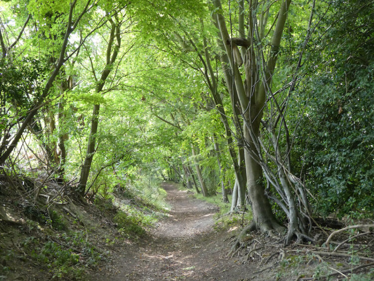
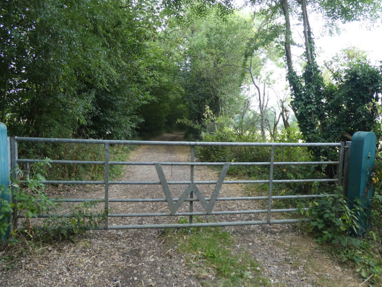
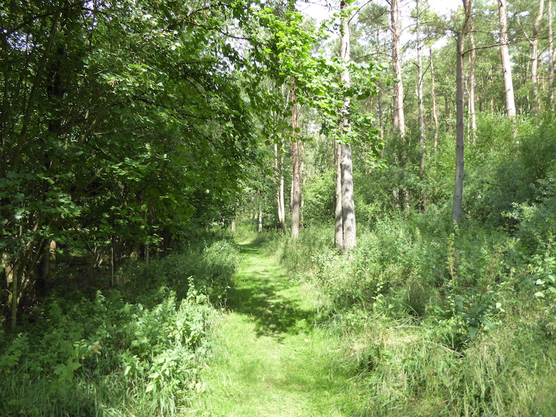
    Heading out from the caravan I go through the metal gate at the far end of the site and turn left and walk downhill into the woods and then in the valley in the woods I turn left and follow the clear path.  Since I was here last year the Ash die back has seriously affected the Ash trees and a number have been felled.  Sadly more need to be cleared soon.

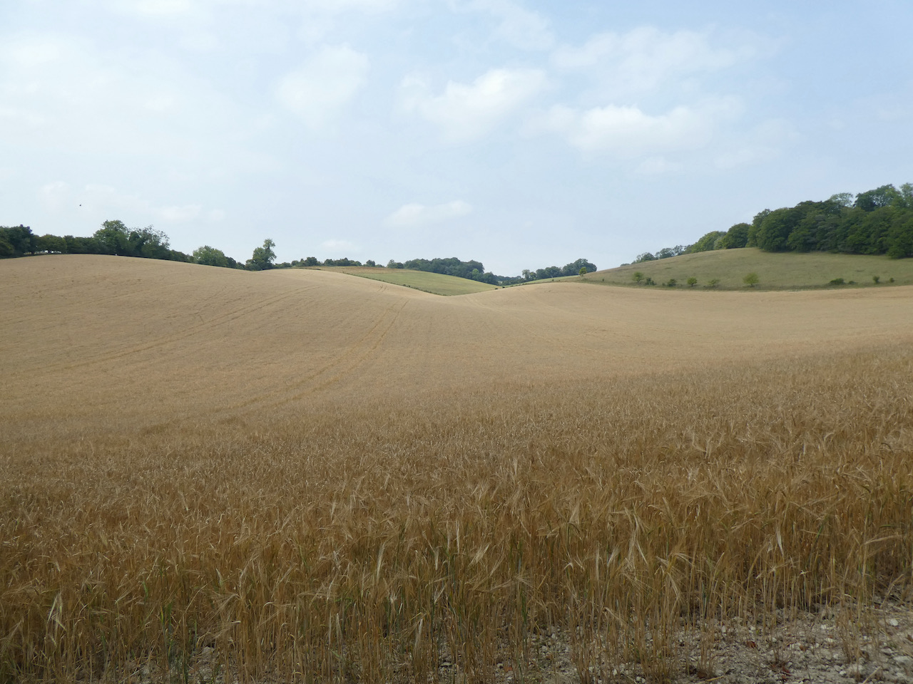
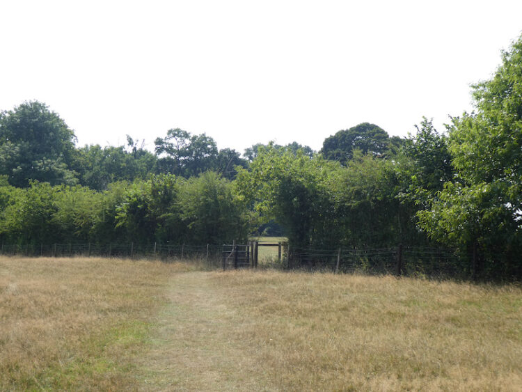
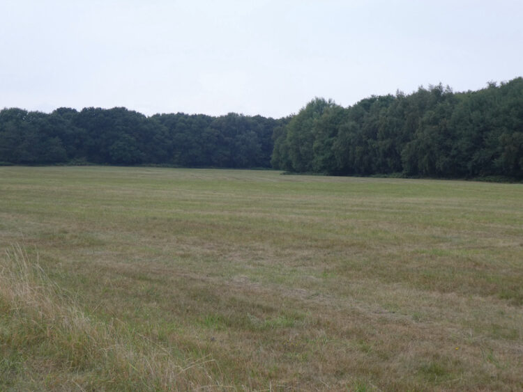
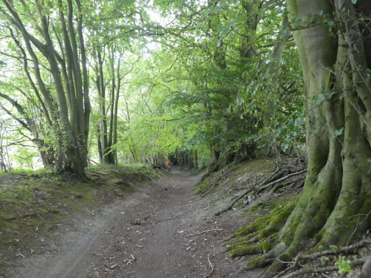
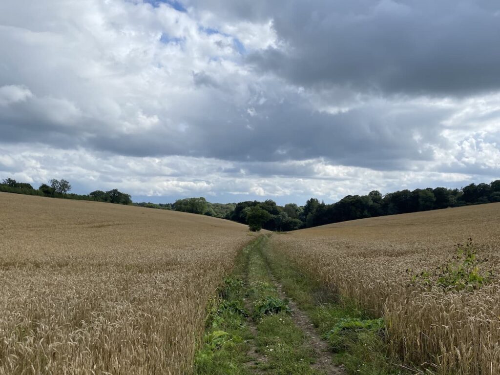
    My route from here is very straightforward, I stay on the path at the bottom of the valley for just over two kilometres until I reach a stile besides a gate leading to a track besides an arable field. 

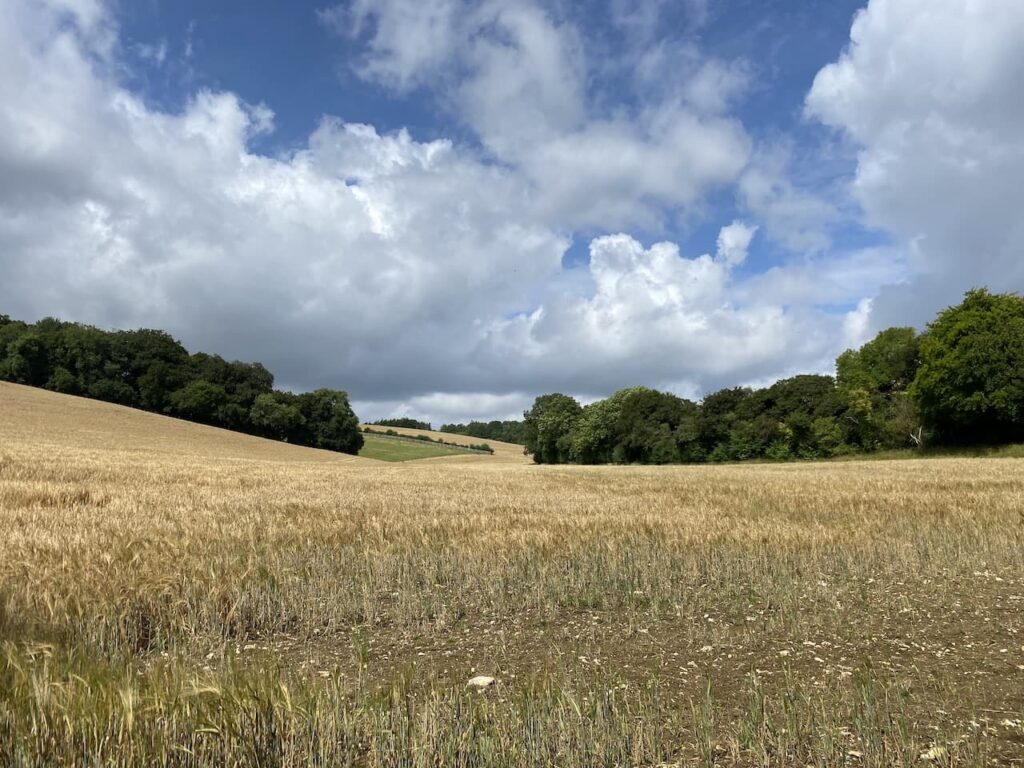
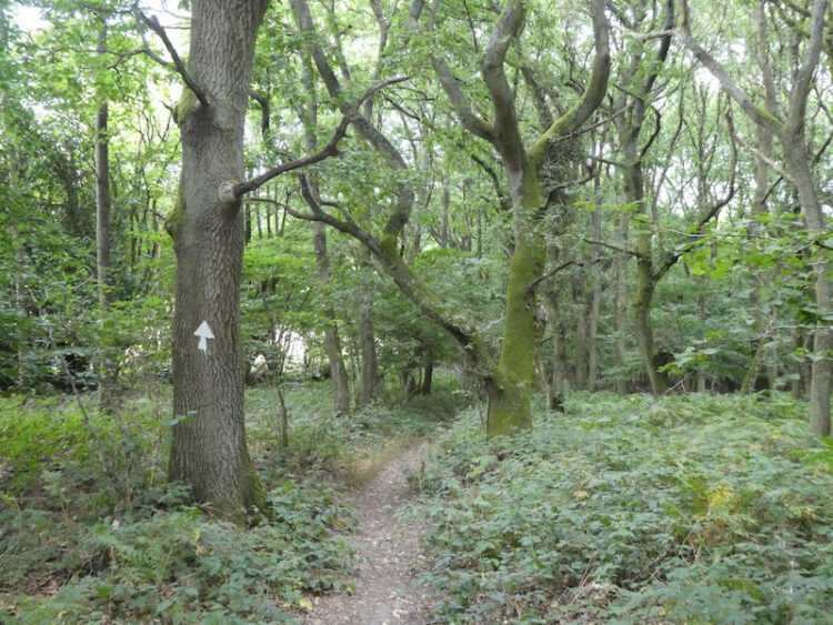
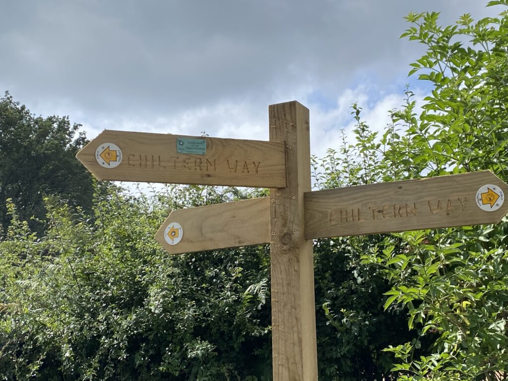
    Turning right on the track I stay with this as it skirts the field and passes fields with horses in.  On reaching a stile besides a gate I cross and then almost immediately go through a gate on the left to join the Chiltern Way.  This fenced path goes uphill and then through another gate to follow the hedge line around the edge of an arable field.

    The path goes down through a belt of trees and then through a gate to enter another field.  I continue besides the hedge and stop to pick a few blackberries for Crosby, he prefers it when I pick them for him, whereas my old dog Dexter would happily select the ripe ones for himself!

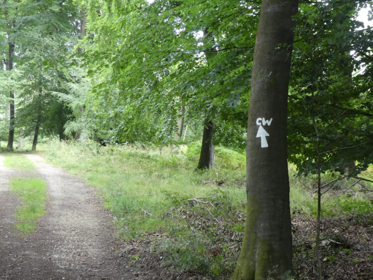
    At a junction of paths besides a gate I continue straight on leaving the Chiltern Way.

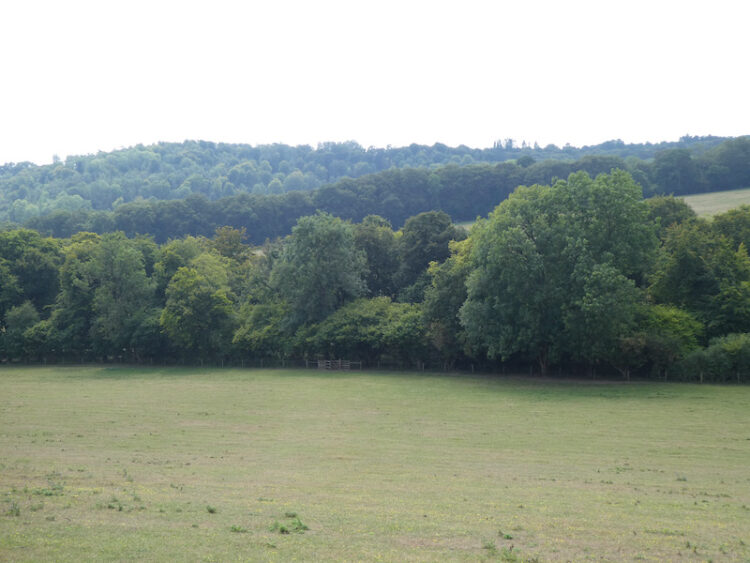
    My route now goes along a track and through a gate to cross the driveway to Studdridge Farm and then through another gate into a field.  At a stile I enter woodland and follow the clear path through the trees to reach a minor road which I cross and then follow a path into the Wormsley Estate.  This path soon starts to descend through Bowley’s Wood towards Wellground Farm.

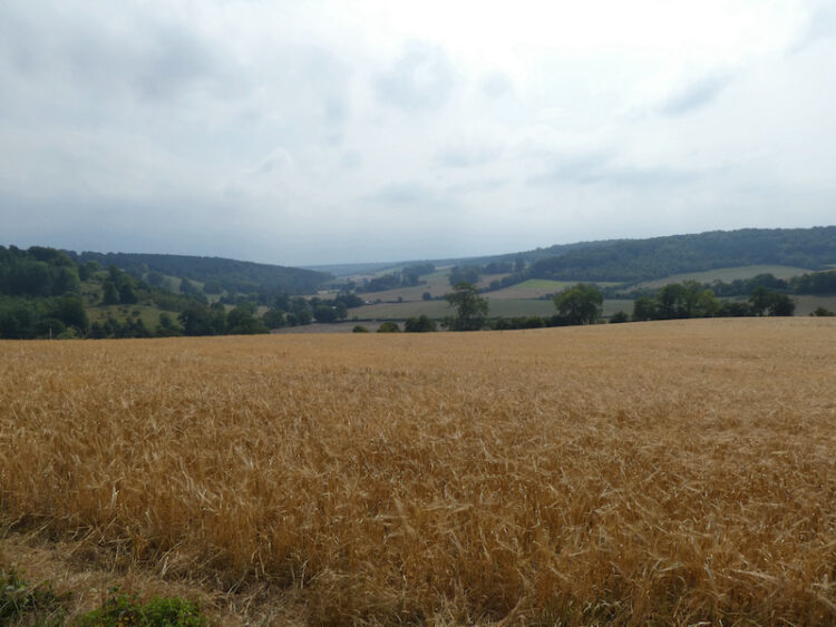
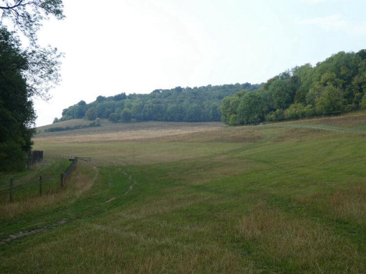
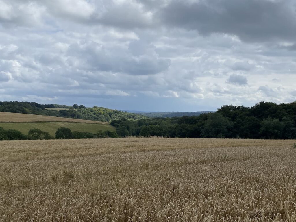
    On reaching an estate road near Wellground Farm I turn left and follow the road as it heads south and passes the entrance to Wormsley Cricket Ground.  The road now becomes a track and on reaching a clearing there is a fork in the footpath where I go to the right to walk along the valley.

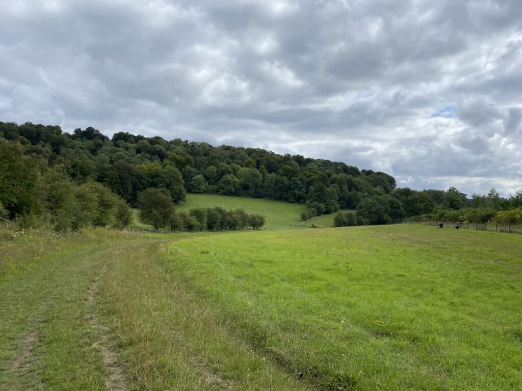
    After 600 metres I reach a junction of paths and turn right to rejoin the Chiltern Way via a kissing gate and cross a field.

    I have walked this section of the Chiltern Way on many occasions, I keep wondering whether I should tackle the 125 mile long distance circular walk.  It looks interesting. But there are a several other long distance paths I would like to do first.

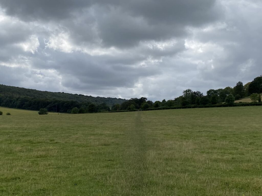
    After crossing the field I go through a kissing gate and cross an estate road to another kissing gate and then descend across a field towards a gate.

    Through the gate I briefly join an estate road before following the Chiltern Way markers and take a footpath on the left.  At a junction of paths I fork left to stay on the Chiltern Way as it goes through Blackmoor Wood.

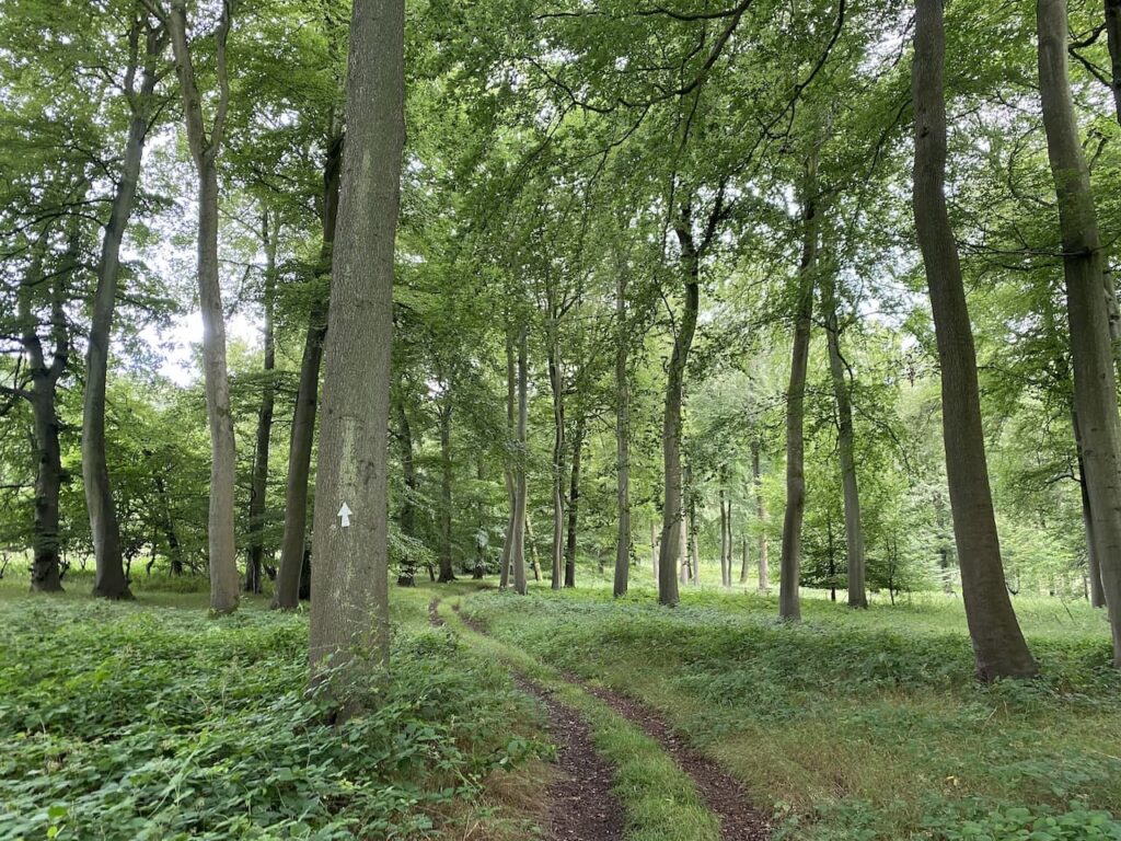
    The path now ascends steeply, this is one of those hills in the Chilterns that make the legs burn, but I keep a steady pace and make it to the top without stopping.  However, I am grateful when it levels out and continues to reach a minor road in Northend.

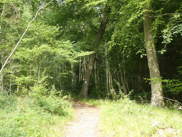
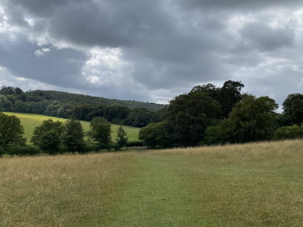
    After crossing the road I follow the Chiltern Way signs which initially follow a gravel track and then go on a pathway besides a house to reach a junction of paths.  Here I turn left to stay with the Chiltern Way as it goes through arable fields.

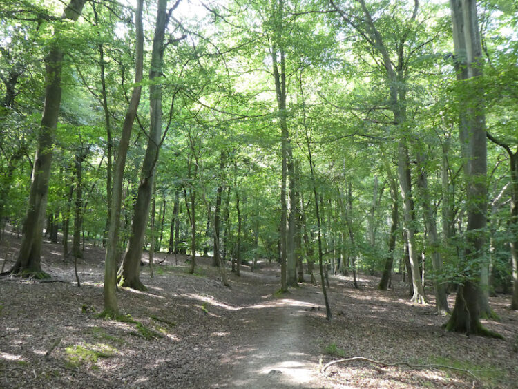
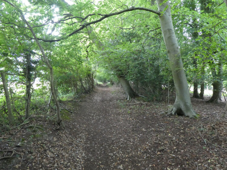
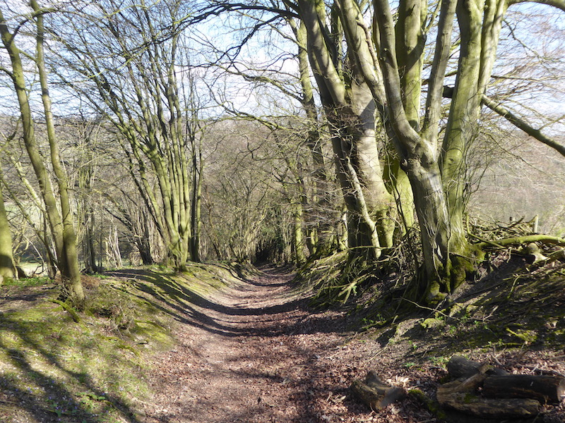
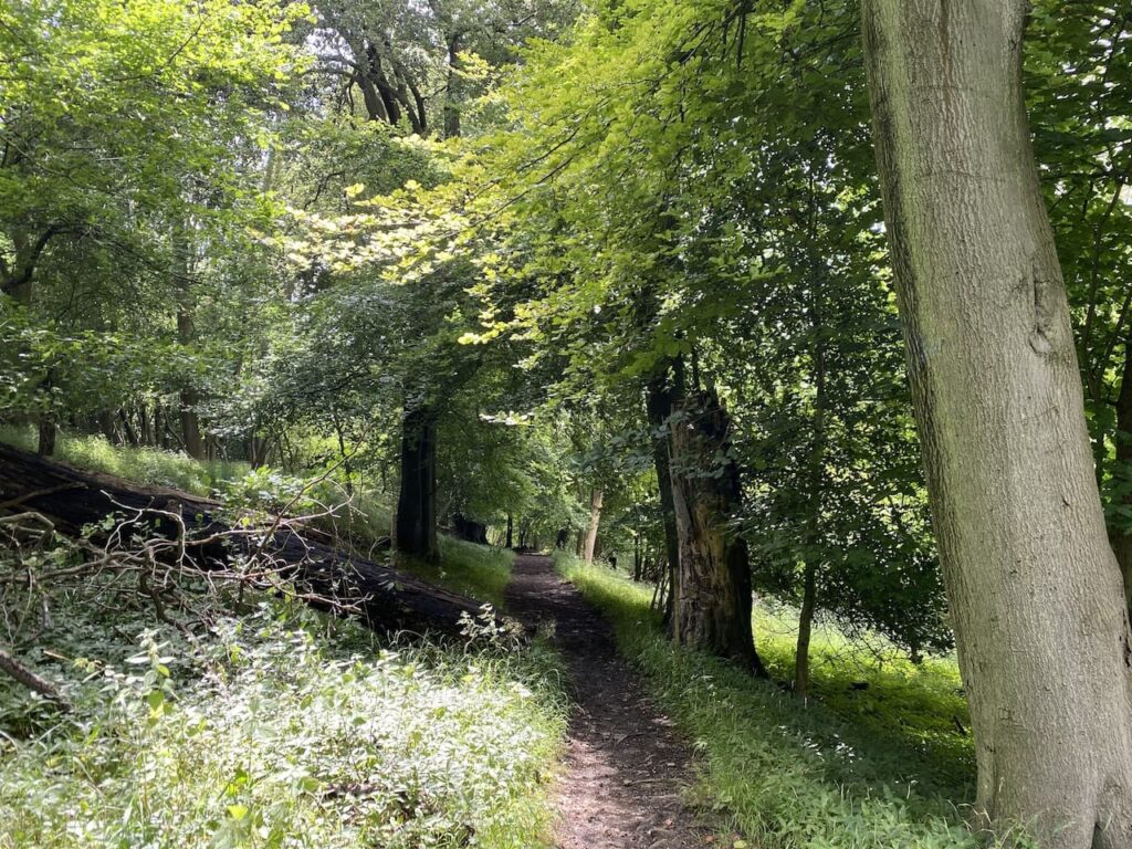
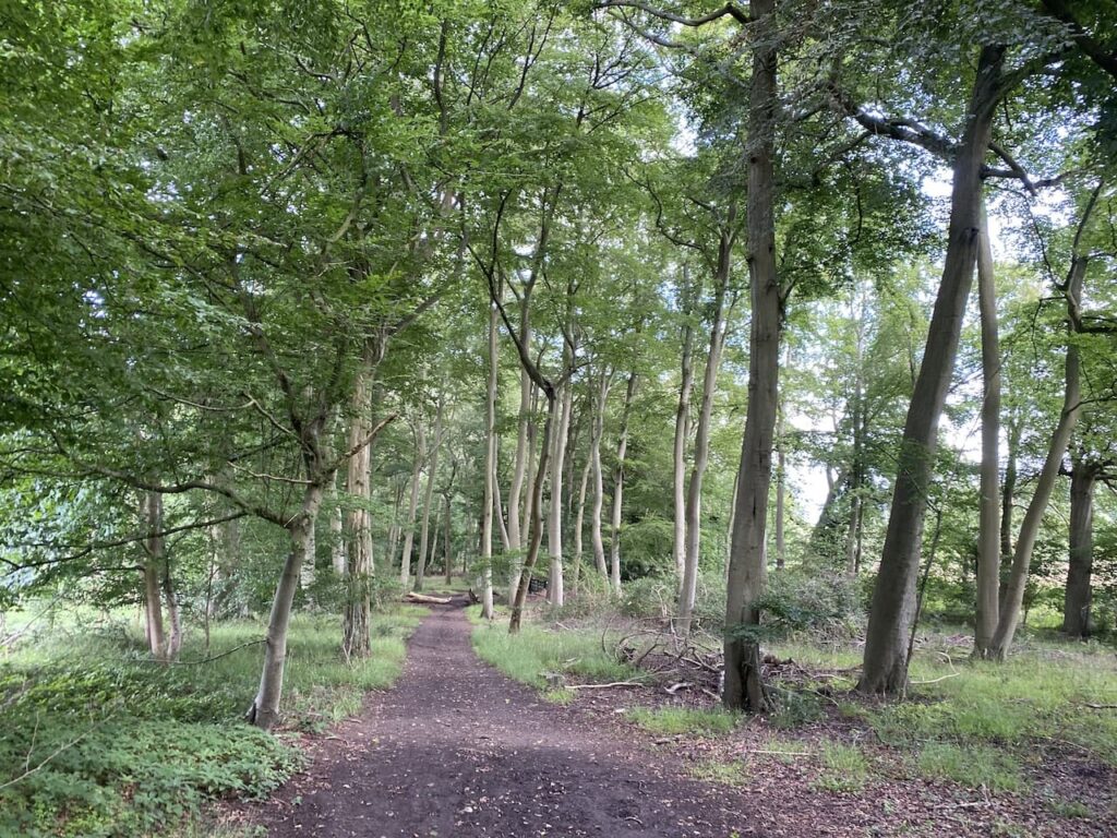
    The path leads into the stunning beech woodland of Fire Wood.  My walks at home and on our travels frequently take me through woods, my favourite by far is walking amongst beech trees.

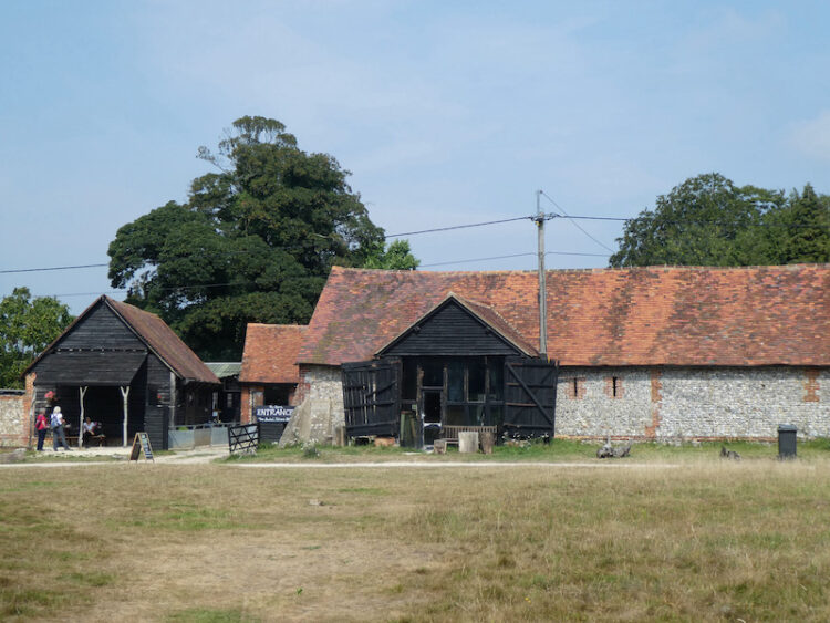
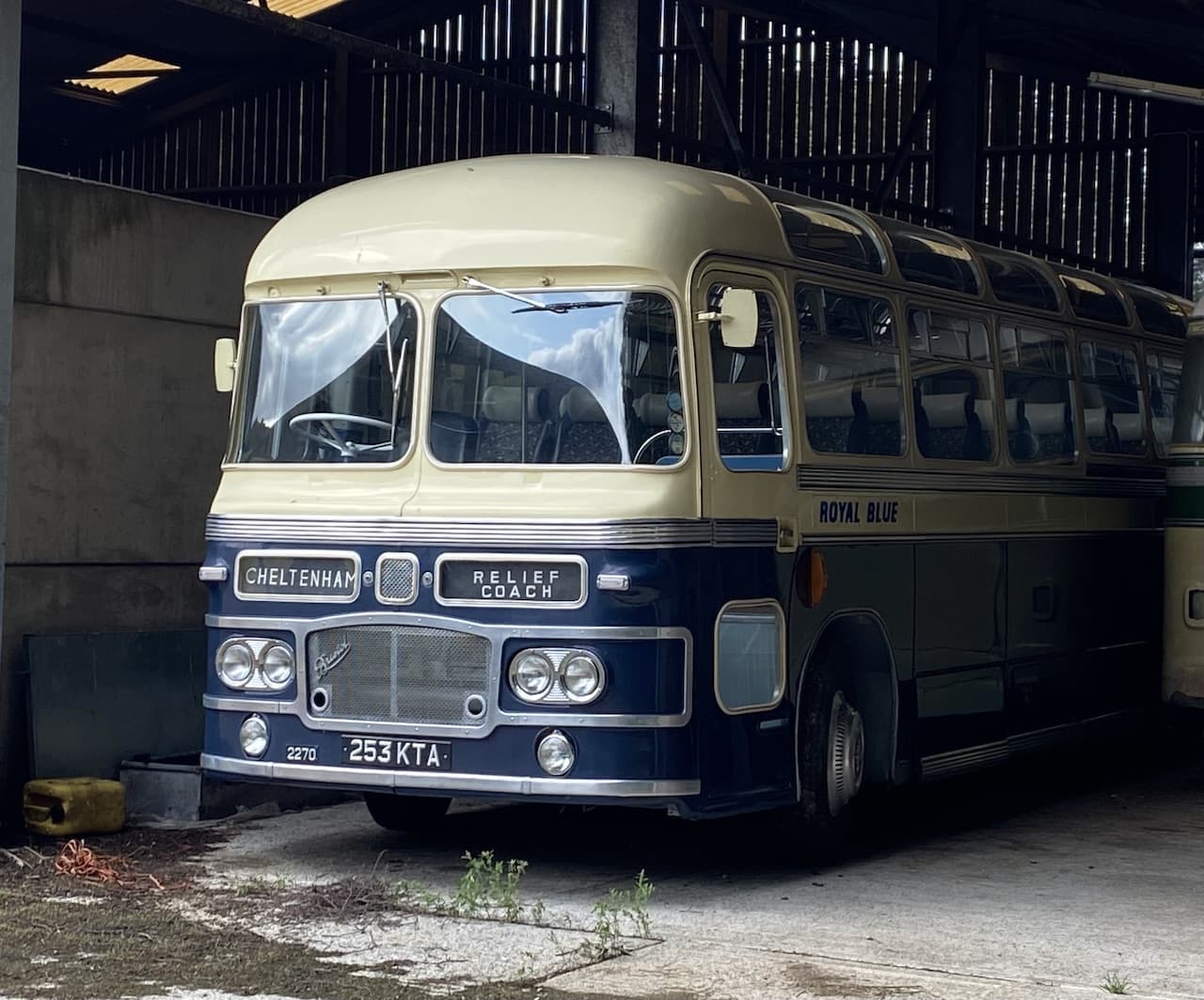
    On reaching a crossing of paths I turn left and follow a track through Longhill Hanging Wood and continue on to Turville Park Farm.  I have passed this farm before and I am always intrigued by the old coaches in the barns, but I have never seen anyone around to talk about the collection.  Today pride of place seems to be allocated to a Royal Blue coach which says it is heading to Cheltenham.

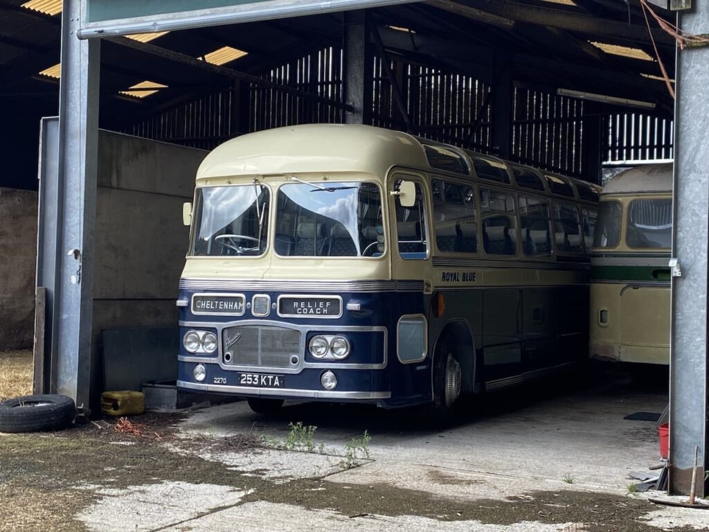
    Apparently the Royal Blue coaches used to operate in South West England.  The company was formed in 1880 in Bournemouth by Thomas Elliott and was initially known as the Royal Blues and Branksome Mews.  In those days it ran horse drawn carriages but in 1913 Thomas’ two sons were leading the business and purchased its first motor charabanc.

    Gradually the company acquired other local bus services and became a major operator in the south west before the Elliott brothers sold the company in 1934 to Western National and Southern National. Later Lynnie says she remembers travelling to Devon from Poole on holidays on the Royal Blue coach, but assures me it wasn’t the charabanc! 

    After passing the farm I continue along the track and then go through a gate and stay with the track between arable fields.

    At a junction of paths I turn left and head up the hill, this is another short steep ascent and at the top there is a conveniently placed bench where I sit and have a drink and admire the view.

    Refreshed I resume walking along a fence lined track towards Balham’s Lane.

    At the road I turn left and walk steadily uphill to reach Turville Heath which I cross towards the Barn cafe.

    At the cafe I turn left and then after passing a cottage take a bridleway on the right which soon starts to descend steeply on a sunken track.  At the bottom of the hill the track continues through another attractive beech copse.

    On reaching a minor road, Holloway Lane, I cross and turn right to follow a clear path heading downhill through the trees.

    At a junction of paths on an estate road I continue straight on and then after 150 metres on reaching another junction of paths I turn left.  This path soon starts the long gradual ascent back towards Ibstone.

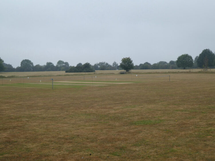
    The path leads to a tarmac lane which I continue to follow to return into the village besides the common and cricket pitch.

    From here I cross the road and follow the farm drive back into Cholsey Grange.  My wander about has covered just over eleven miles and has taken me through some cracking woodland.

    You can view this 11.25 mile walk on OS Maps and download the GPX File Here

    To follow my walk you will need Ordnance Survey Explorer Map 171 – Chiltern Hills West

    8th August 2021

    © Two Dogs and an Awning (2021)

    All information on this site is provided free of charge and in good faith and no liability is accepted in respect of damage, loss or injury which might result from it.  To the best of my knowledge the routes are entirely on public rights of way or within areas that are open for public access.
    Walking can be hazardous and is done entirely at your own risk.  It is your responsibility to check your route and navigate using a map and compass.

  • Pishill and Russell’s Water

    Pishill and Russell’s Water

    Yesterday was a day of thunderstorms and heavy rain so it was a case of trying to find a window between the downpours to get out and walk.  I saved my main walk until early evening and managed to stay dry on a familiar route from Cholsey Grange CL to visit the Cobstone Mill.  

    Today there are still storms about but I would rather walk in rain than the oppressive heat of last week.  Crosby and I are heading out for a jamabout from the caravan site.  I use the term jamabout for a walk without a predetermined route.  I often head off with a rough idea of where I am going and then spot something interesting, or just decide to explore a path I have not walked before.  It is a great way to walk and has taken us to some interesting spots.

    With lunch, water and wet weather gear packed in the rucksack Crosby and I head off from Cholsey Grange via the farm track to Ibstone Common and pass the cricket ground and pavilion.  I follow the tarmac lane past Hellcorner Farm and on reaching the footpath that continues straight on from the lane gradually descend through woodland.

    At a bend in the footpath I take the right fork going onto the downs with pleasant views of the valley.

    I go downhill,  straight over a field and through a gate into woodland. This brings me to Holloway Lane, which I cross to take the track directly opposite climbing up through woodland.

    The track leads top hill to arrive at Turville Heath near the Barn cafe.

    I head south across the heath to reach a minor road where I turn right and then in a few yards come to a bus shelter, here I cross the road and take the footpath opposite which goes through a kissing gate besides a house.  Following the clear path I cross fields going through further kissing gates to reach a track where I turn right. 

    This track leads to a bench with fine views across the valley and then descends through arable fields to a crossing of paths.  I go straight over and head up the opposite side of the valley.

    On reaching a track, Hollandridge Lane I cross and join a footpath that descends to a lane where I turn left and walk a few yards to a road.  I turn right and then after fifty yards take a lane on the left signposted to the church.  This lane heads uphill to reach the attractive Pishill church.  

    Resuming my walk I continue uphill to pass Pishill House and then at a junction in the path go right to head east towards Long Wood.  This track soon leads into woodland.

    At a crossing of paths in the woods I continue straight on, still heading east towards Russell’s Water.  The path leaves the woods and becomes hedge lined and then passes farm buildings to reach a common.  

    I now follow a track across the common, still heading east and then as I near the village I turn right to head north around the edge of the common on the Chiltern Way.  The well used path reaches trees and I follow the clear way-markers heading downhill.

    On reaching a road I cross and join a Permissive Path that heads steeply uphill through the trees.  Such paths are always welcome as they mean  avoiding a section besides a road.  I often wonder why more local authorities don’t work with landowners to ensure safe passage for walkers.  This path is well marked, and well used as it is on the Chiltern Way.

    As the path starts to level it re-joins a public footpath with clear way-markers for the Chiltern Way.

    This is an attractive area of woodland.  I stay with the Chiltern Way as it undulates towards College Wood.

    Once in College Wood there is a steep ascent to reach a gate to a field of pasture.  One of the many signs on the gate highlights that the gate was paid for by the local Brakspear brewing company in exchange for circular walks from various pubs.  I must be missing a trick, I have over 700 walks from 75 caravan sites.  Perhaps I should I have done my blog as walks from pubs!

    I cross a field of pasture and then go through another gate to reach Hollandridge Lane.  I cross and continue on the Chiltern Way over a field and into woodland.  At a crossing of tracks in the trees I go straight on heading north on a clear track.

    The track leaves the trees and continues between fields  and then at a way-marker goes right beside a fence and then narrows between properties.  On reaching a lane I turn right and follow this track into North End where I turn left and walk besides the village green  to reach a junction of minor roads besides the village pond.  Here I go straight on along a track which soon reaches a gate into the Wormsley Estate.

    I continue along the bridleway which soon becomes a fine sunken track heading downhill.

    On reaching an estate road at the foot of the hill I take a footpath through a gate on the right and head across a field to Hale Wood.  The path through this small area of woodland reaches a field which I cross and then follow the path into Great Wood and start to head uphill. 

    This is a stiff ascent and I try to tackle it without stopping which is a  great test of both legs and lungs.  Fortunately it is a cooler day today and I manage the ascent in one go.  A few days ago in the heatwave I would have needed a couple of stops. Emerging from the trees the path crosses a field towards houses.  

    Following the path between gardens it then joins a driveway leading to Grays Lane.  Here I turn left and follow the lane to pass Ibstone Common and the village cricket pitch where the storms of the last few days have put some colour back into the parched grass.

    From the Common I cross the road and follow the driveway back to the caravan site.  It has been a very pleasant day walking.  I have covered just over ten miles and managed to avoid any rain.

    You can view this 10 mile walk on OS Maps and download the GPX File Here

    To follow my walk you will need Ordnance Survey Explorer Map 171 – Chiltern Hills West

    13th August 2020

    © Two Dogs and an Awning (2020)

    All information on this site is provided free of charge and in good faith and no liability is accepted in respect of damage, loss or injury which might result from it.  To the best of my knowledge the routes are entirely on public rights of way or within areas that are open for public access.
    Walking can be hazardous and is done entirely at your own risk.  It is your responsibility to check your route and navigate using a map and compass.

  • Six Miles Around Penley Wood and Commonhill Wood

    Six Miles Around Penley Wood and Commonhill Wood

    As a frequent visitor to Cholsey Grange CL I have done many walks from the site.  However, there is such an extensive network of paths it is always possible to create a new route not previously travelled.
    (more…)

  • A Seven Mile Jam About in the Chiltern Hills

    A Seven Mile Jam About in the Chiltern Hills

    It is the final day of this brief stay at Cholsey Grange CL, fortunately we do not need to leave until later this afternoon so there is plenty of time for me to go for a walk before getting the awning down and packing up.
    (more…)