Tag: Wessex Ridgeway

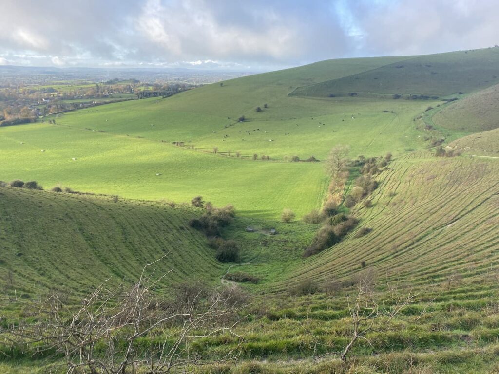
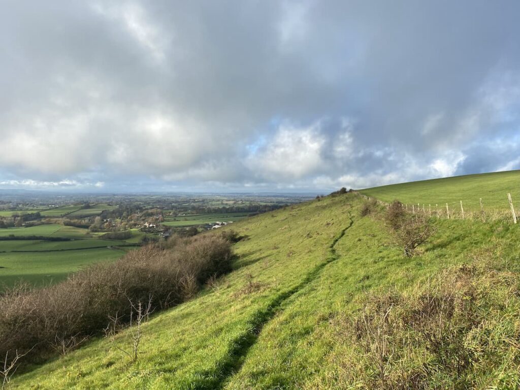
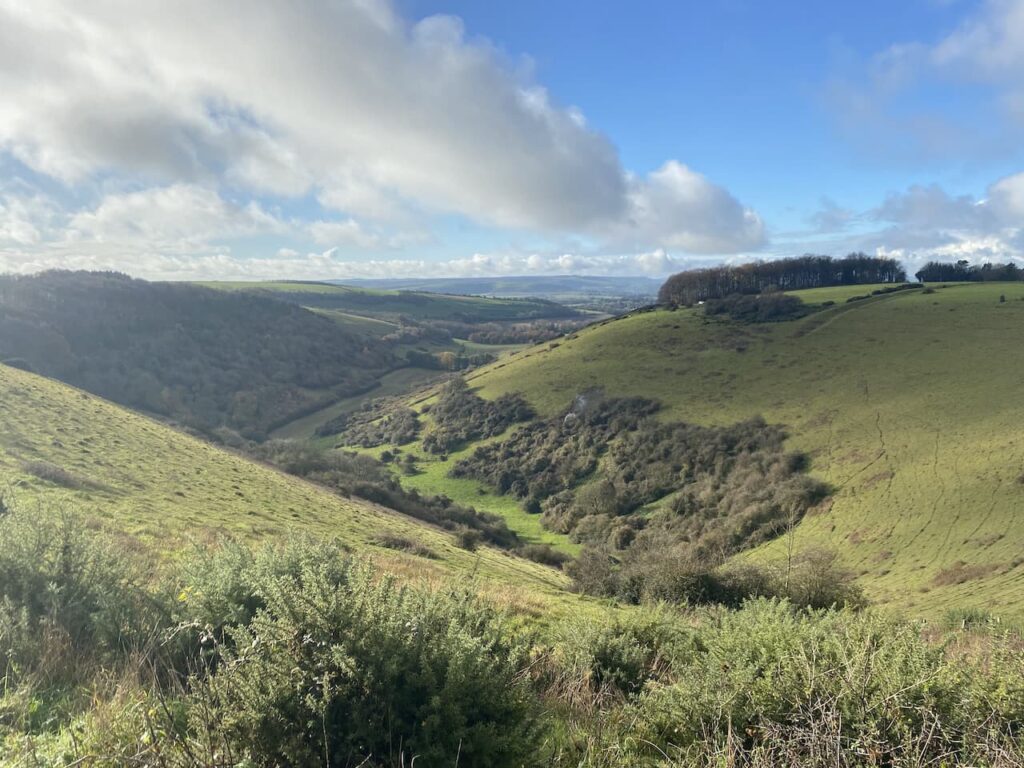
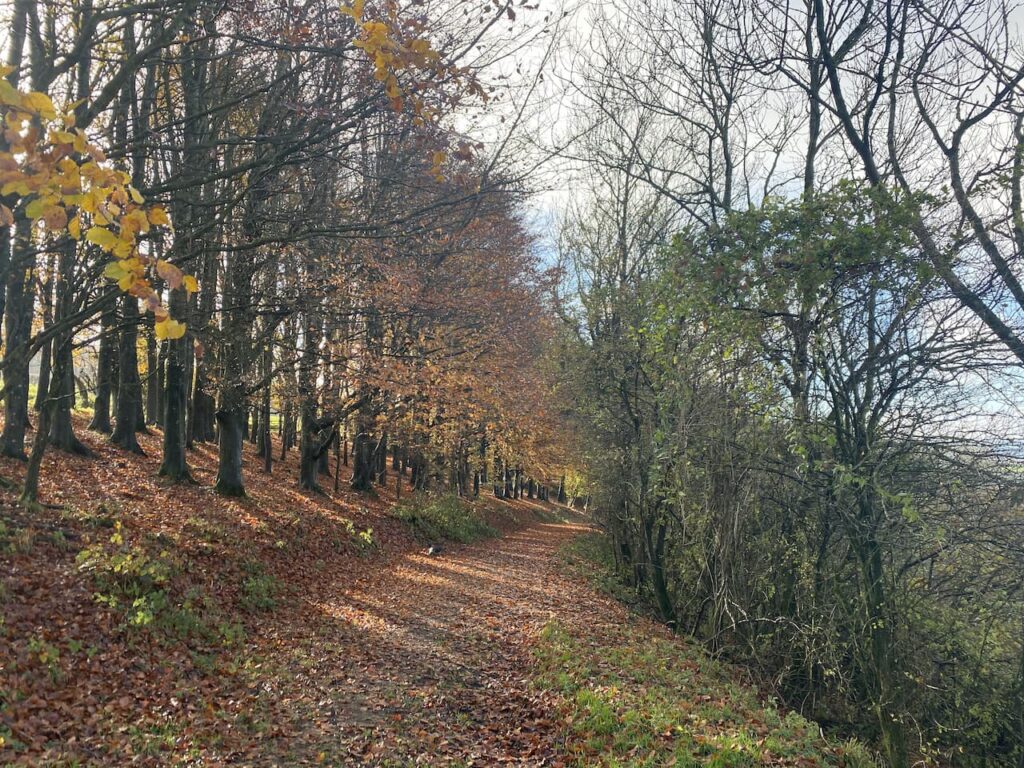
  • Hills and Forts around Shillingstone

    Hills and Forts around Shillingstone

    I haven’t been out for a day’s walking since returning from my trek between Taunton and Gloucester a couple of weeks ago.  A combination of wet weather and struggling with the aftermath of my last bout of Covid has meant I have lacked the desire to go walking for hours.  However, today the forecast is marginally better and I have arranged to meet up with my walking buddy Nigel from New Forest Navigation.

    The start point for our walk is the trailway car park on the junction of the A357 and Bere Marsh on the northern outskirts of Shillingstone (Grid Ref ST822119).  This is a large free car parking area with a height restriction barrier.

    From the car park we head under the disused railway bridge and turn right to walk up a slight incline to join the North Dorset Trailway and soon reach Shillingstone Station which has an array of locomotives and a cafe.

    Apparently the canopy of the station was erected in 1899 especially for the Prince of Wales, the future King Edward VII, who was visiting Lord Wolverton’s nearby estate for a shooting party. There was concern that without the canopy some precipitation might fall on his regal head.  There is no report about how he was protected from the elements whilst out shooting.

    To our left is the River Stour, which has burst its banks and flooded the surrounding fields.  Later  we will be crossing the river between Child Okeford and Bere Marsh, hopefully it won’t be flooded there.

    Passing the station we continue along the North Dorset Trailway old, this is a 14 mile route from Sturminster Newton to Spetsbury. It predominately follows the old track bed of the disused Somerset and Bristol Railway.  This line once linked Bath to Bournemouth and opened in 1863 to connect the English Channel to the Bristol Channel, it operated until falling victim of the Beeching Cuts in 1966.

    We ignore a couple of footpaths off to the right and stay on the disused railway line until we reach a point where the Wessex Ridgeway passes under the Trailway.  Here we take a path down to the Wessex Ridgeway and then turn right along a lane and soon cross the A357, Blandford Road, joining a footpath on the far side which goes through a gate into a field.

    We quickly pass through the field keeping a watchful eye on a bull on the far side.  He is totally disinterested in us, this is a well-worn path and he must see lots of walkers and presumably has decided they present no threat to him.  Through a gate we turn right along a lane and then quickly reach a junction where we turn left and follow the lane which soon becomes a track.  At a fingerpost we stay with the main track following the route towards Shillingstone Hill.

    It is now a long steady ascent through woodland towards the top of Shillingstone Hill.

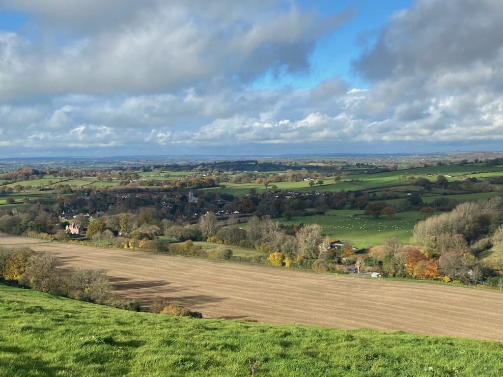
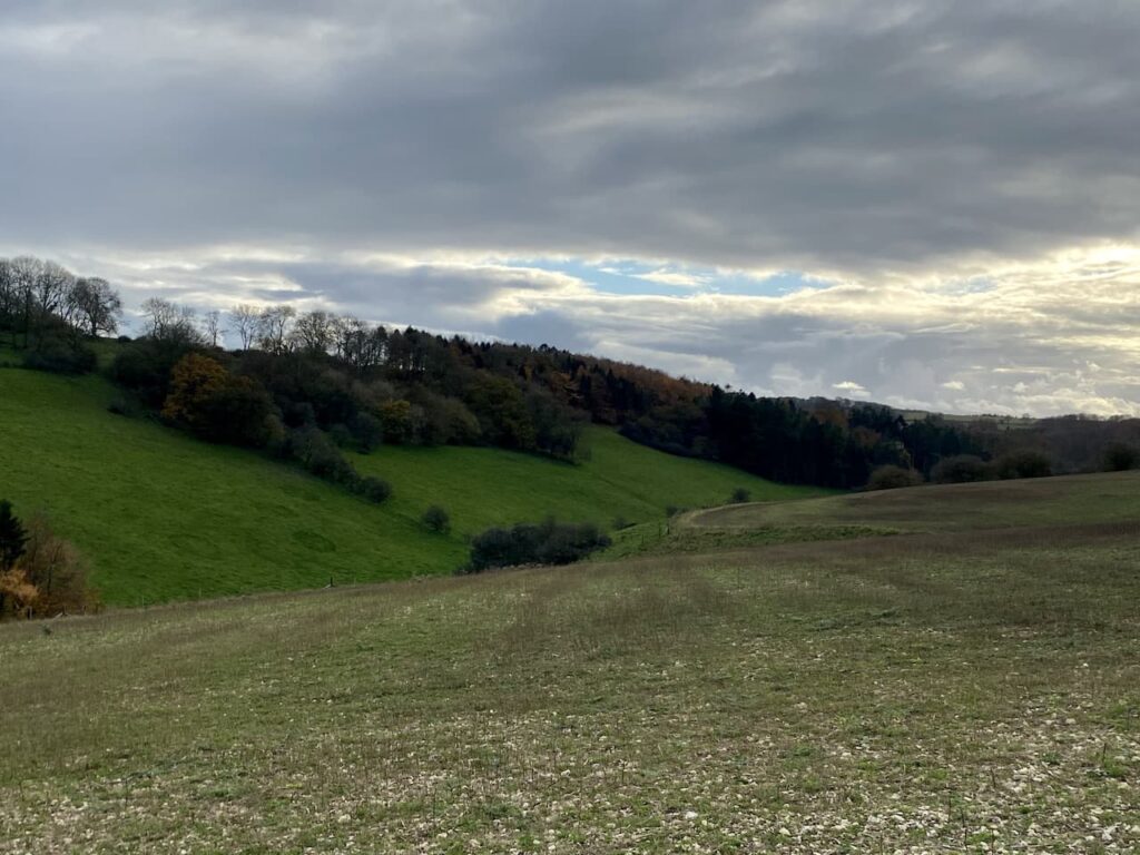
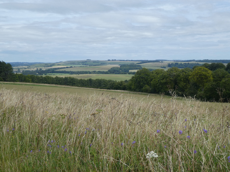
    At a junction of paths on the edge of the woodland we turn left and follow along the field boundary until we reach another junction of tracks, here we turn right along the northern edge of the field.  There are fine views from here.

    Now walking through Blandford Forest we take a track heading in a southerly direction which soon re-enters woodland.

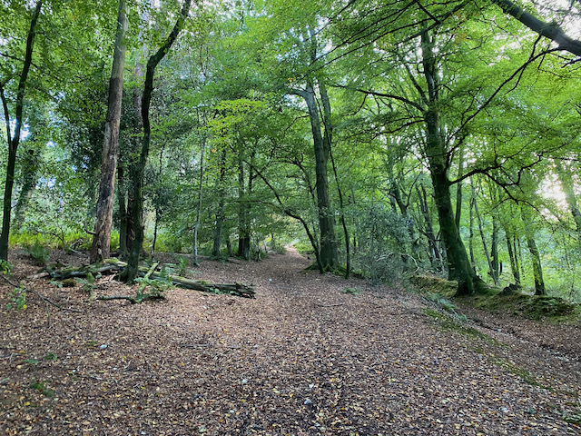
    This is a pleasant area of woodland to walk through.  At a junction of tracks we turn left towards Folly Barn and Durweston.  After passing Folly Barn we leave the tarmac lane and go through a gate to take a footpath which descends steadily to Sutcombe Wood.

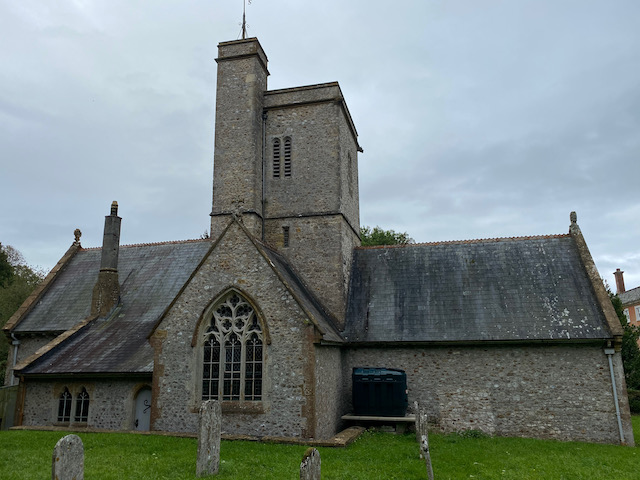
    We pass through a couple of gates and fields to reach the edge of Durweston.  In the village we turn right and then at a junction take another right before quickly turning left into Church Road.  From previous walks we know there is a bench in the churchyard of St Nicholas’ Church which is an ideal spot to sit in the sunshine and have our elevenses.

    Refreshed we resume our walk by heading back along Church Road and turning right to walk downhill to cross the A357 at Durweston Cross to join Water Lane.

    We continue along Water Lane and then just before the houses end we go left on a path leading to Mill Lane where we turn right to pass the mill and reach the River Stour and the mill pond.  The water in the river is high and there is a lot of foam on the surface.  It would be nice to think this is a result of the water pressure rather than effluent from the sewage works nearby.  Ten years ago I would not have thought this but now it is a sad indictment of the state of our water system that Government Ministers feel it is acceptable for water companies to pump sewage into our rivers.

    We have now joined the route of the Stour Valley Way, a long distance 62 mile path along the River Stour from its source at Stourhead to the sea at Hengistbury Head near Christchurch.  After crossing a disused railway line we leave the Stour Valley Way and continue straight on along a track.

    At a stile beside a gate we enter a field on the left and walk towards the edge of a housing development besides the A350.  Joining the pavement we walk towards the White Horse Inn which also houses the village shop.

    We will return to this point, but first we are going to bag a trig pillar at Downend Farm.   To do this we cross the road and continue along for fifty metres and then turn right into Bottom Road.  Initially this is a tarmac lane but becomes a hedge-lined path as it gradually heads uphill.  At the end of the track we turn to the right and walk across to the trig pillar.

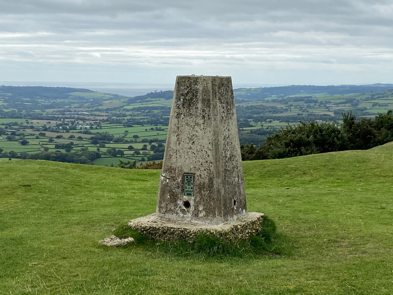
    This trig has been moved from its original location which was in a field on the other side of the farm buildings.  Whilst I prefer to visit trigs in their original location, I am happier that it is moved  than be inaccessible or even worse destroyed.  This is the 412th trig I have bagged.

    From the trig we turn around and head back down Bottom Lane towards Stourpaine.

    Back in the village outside the White Horse Inn we take the lane to the right of the pub, South Holme and follow this into the centre of the village.  It looks like there is rain heading our way so we turn left at the end of the lane a sit on the stone bench inside the lych gate of the church to have our lunch.

    By the time we have finished lunch the rain has eased to steady drizzle.  Our route is now through the village along Manor Road heading north.

    We are back on the route of the Stour Valley Way and follow the lane to pass cottages and then it becomes a track beside the River Irene.

    At a junction of tracks we turn left, still on the Stour Valley Way heading steadily up towards Hod Hill.

    After going through a gate we go through the ramparts of the Iron Age Hill Fort on Hod Hill.

    There are a network of paths on the access land covering Hod Hill, but we stay with the route of the Stour Valley Way across the plateau and through the location of the Roman Fort which was built around AD350. We then descend towards a minor road and Keeper’s Lodge.

    After crossing the road we take a path to the right of Keeper’s Lodge, still on the Stour Valley Way, it is a long steep ascent towards Hambledon Hill. As the path levels we go through a gate on our left and enter a field of cows, fortunately they are not at all bothered by us and we pass through to reach another gate without incident.  Keeping the fence line to our right we head through this field to reach another gate.

    The path now leads us to the Ordnance Survey trig pillar on Hambledon Hill.  I have bagged this trig before but is still worth stopping to look at the views.

    Soon we are on the edge of the impressive hillfort on Hambledon Hill.

    There are a range of options of routes to take, we decide to head to the southern side of the fort for a good view of the ramparts.

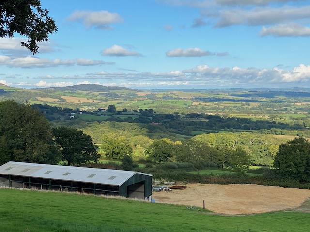
    The outlook from this hill across the Stour Valley is stunning.

    On the far side of the fort we descend steadily to a gate leading to a hedge-lined path going into Child Okeford.  At a minor road we turn left and head into the village passing the Baker Arms.

    Just before the village shop we turn right into Haywards Lane and stay with this until we reach a footpath on the right which is opposite the entrance to a close called Jacobs Ladder.  We go right and head through a kissing gate on the route of the Stour Valley Way and the St Edward’s Way.

    The St Edward’s Way is a 30 mile long distance path which goes between the west door of St Mary’s Church in Wareham to Abbey Museum in Shaftesbury.  This is the route that the body of the boy King, St Edward was taken in AD979 when it was moved from Wareham to Shaftesbury.  The section we are now following is a fence lined path by an avenue of trees.

    After going through a gate we continue across a field and then go through another gate to enter access land close to the river.  

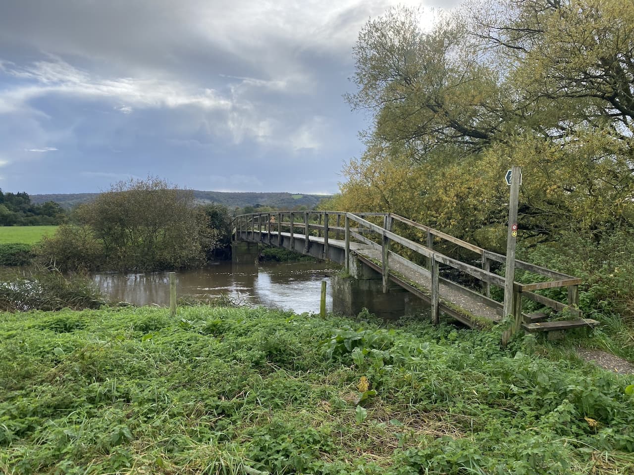
    Our route across the field is blocked by flood water but we work a way around it to reach a footbridge over the River Stour.

    The route is now a fence lined track which has flood water across parts of it, but once again we are able to negotiate a way around without getting wet feet.  The path now reaches an interesting bridge made out of old railway lines filled with concrete which span a stream.

    From here we cross a field at Bere Marsh Farm and return to our starting point.  We have covered an interesting 12.5 miles and apart from one heavy shower have managed to avoid the rain.  As always, walking in Nigel’s company has been an enjoyable experience.  Before departing we make plans for our next walk in a few weeks’ time.

    You can view this 12.5 mile walk on OS Maps and download the GPX File Here

    To follow our walk you will need Ordnance Survey OS Explorer – 129 – Yeovil & Sherborne; OS Explorer – 117 – Cerne Abbas & Bere Regis; and OS Explorer – 118 – Shaftesbury & Cranborne

    27th October 2023

    © Two Dogs and an Awning (2023)

    All information on this site is provided free of charge and in good faith and no liability is accepted in respect of damage, loss or injury which might result from it.  To the best of my knowledge the routes are entirely on public rights of way or within areas that are open for public access.
    Walking can be hazardous and is done entirely at your own risk.  It is your responsibility to check your route and navigate using a map and compass.
  • Melbury Beacon and Win Green

    Melbury Beacon and Win Green

    On a chilly day last November I headed out with my walking buddy and we visited Melbury Beacon at the western end of Cranborne Chase.  On that day visibility was limited and I have been intending to revisit the area ever since.  

    We are in the midst of a mini heatwave and today I had penciled in to walk the Clarendon Way between Winchester and Salisbury cathedrals.  I intended walking with friends Mandy and Gary, however, we have concluded with temperatures predicted to be 30 degrees it is not sensible to walk twenty-four miles.  Instead we are doing a route which will include Melbury Beacon so I should get a chance to admire the views.

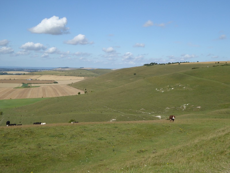
    The starting point for our walk is the National Trust Spread Eagle Hill car park (Grid Ref ST886187).  From the car park we go through a gate and head north across a field.  There are stunning views and it looks like we are in for a cracking day.

    After going through a gate we veer to the left to follow a footpath heading north west across Compton Down, towards Melbury Hill there are cracking views as we follow a path that soon  heads uphill.

    The path descends and then has a stiff ascent to the summit of Melbury Hill where we go through a gate and wander across to the Ordnance Survey Trig Pillar which sits 839 feet above sea level.  I bagged this trig last November  but the views on that day were not as splendid as today. 

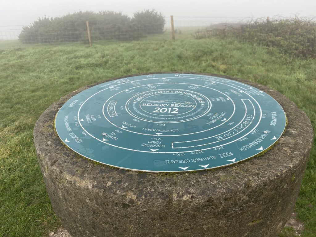
    We stop for a while and pick out points on the horizon with the aid of the toposcope which has been attached to the trig.  

    From the trig point we turn and retrace our route heading downhill to a point where a footpath crosses the access land.  Here we go through a gate taking a path along the top of an area of access land which skirts above a cracking contoured inlet.

    The path leads to a track where we turn left and walk uphill to the car park from where we started our walk.  So far we have completed two and a half miles, but there are still a few more to do.  From the car park we go through a gate and follow a fence lined path heading south to reach the Fontmell Down Nature Reserve.

    We ignore a footpath on the left and continue on to reach a junction of paths.  Here we do not go through the gate but cross a stile on the left to walk through a copse, on reaching a road we cross and enter Fontmell Woods.

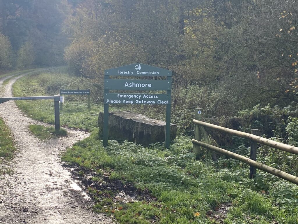
    At a junction of paths we turn right and head along the edge of the woods to reach a minor road where we turn left and then almost immediately right at a wide entrance to Forestry Commission land at Ashmore Wood and follow the forestry track into the woods.

    The track goes through Stubhampton Bottom and we stay with the track until we reach a crossing of footpaths near Hanging Coppice, here we turn left joining the Wessex Ridgeway and follow this path steadily uphill along the edge of the woods with fields to our right.

    We stay with the path, ignoring a turning on the left where the Wessex Ridgeway goes to the north and soon pass a gateway to Ashmore Bottom.  Our route continues along the edge of the woodland and then the path heads east to reach a minor road at Tollard Green.

    We cross the road and follow a minor road towards Tollard Royal.  We pass Tollard Park Farm and then continue into the village to arrive at the church of St Peter ad Vincula which dates from 1291.  I have no religious interest in churches. But do find them interesting from a historical and architectural perspective.  The interior of this one contains an intricately carved 14th century tomb to a knight, Sir William Payne.

    From the church we continue through the village a short distance to reach a junction.  Here we cross the road and pass the village pond along a track and soon fork left to head through a gate and pick up The Wessex Ridgeway path going below an escarpment.

    On reaching a gate we take a path on the right that follows an estate track, part of the Rushmore Estate, and continue on the Wessex Ridgeway through Ashcombe Bottom. 

    The track divides as it nears Ashcombe House with the footpath following the left fork.  Over the years Ashcombe House has had some interesting residents, back in 1930 the photographer and designer Cecil Beaton leased the property for fifteen years, apparently part of the lease was that he restored the building.  More recently it has been the home of Madonna and Guy Ritchie with Ritchie retaining the property after they divorced.

    Staying on the Wessex Ridgeway path we enter woods before taking a left turn to head steadily up through woodland.

    Emerging from the trees we continue uphill on access land.  This is a stiff ascent on a hot day so we stop occasionally to admire the view behind us.

    After going through a gate we head across the access land to the Ordnance Survey trig pillar on Win Green, this is another trig I have previously visited. It stands 909 feet above sea level and is the highest point on Cranborne Chase and the views from up here are extensive, on a clear day you can see Salisbury, the Quantock Hills, Glastonbury Tor, the Isle of Wight and Bournemouth.

    From the trig we head to the National Trust car park and then follow the driveway to reach a road where we turn left and then at a crossroads take the road signposted towards Blandford.  We soon reach a path onto the access land of Melbury Down.  

    We have a brief discussion about taking this route, but the general consensus is that if we go downhill here we will have to head back uphill at some point to reach the car park and as it’s a very hot afternoon this is not a good option.  So we walk besides the road until we reach the entrance to Compton Abbas Airfield.  Here we stop and get an ice cream from a kiosk.

    It was from this airfield that Asil Nadir fled the UK in 1993 following the collapse of his company Polly Peck and an investigation by the Serious Fraud Office.  He was a fugitive until 2010 and then was tried and convicted and given ten years imprisonment for false accounting and theft totalling £32 million.

    From the airfield we rejoin the road and continue along it and then turn right to reach our starting point in the Spread Eagle car park.  Our walk has covered just over 15-miles with two good ascents, which since heading up Win Green Gary has been reminding us is one more than he signed up for at the start of the walk!

    You can view this 15-mile walk on OS Maps and download the GPX File Here

    To follow our walk you will need Ordnance Survey Outdoor Explorer Map OL118 Shaftesbury & Cranborne Chase

    22nd July 2021

    © Two Dogs and an Awning (2021)

    All information on this site is provided free of charge and in good faith and no liability is accepted in respect of damage, loss or injury which might result from it.  To the best of my knowledge the routes are entirely on public rights of way or within areas that are open for public access.
    Walking can be hazardous and is done entirely at your own risk.  It is your responsibility to check your route and navigate using a map and compass

  • Melbury Beacon and Ashmore

    Melbury Beacon and Ashmore

    There are not many positives coming from the Covid-19 pandemic, but one is that I have done a lot more walking closer to home.  In normal circumstances Lynnie and I travel a lot in the caravan, usually spending about one hundred and fifty nights a year away.  However in 2020 our travel has been restricted to just sixty nights and given the Covid situation we are currently not planning any travelling in 2021.

    Today I am meeting up with my walking buddy Nigel, from New Forest Navigation.  The starting point for our walk is the National Trust Spread Eagle Hill car park (Grid Ref ST886187).  From the car park we go through a gate and head north across a field.  There are stunning views and it looks like we are going to be in for a cracking day.

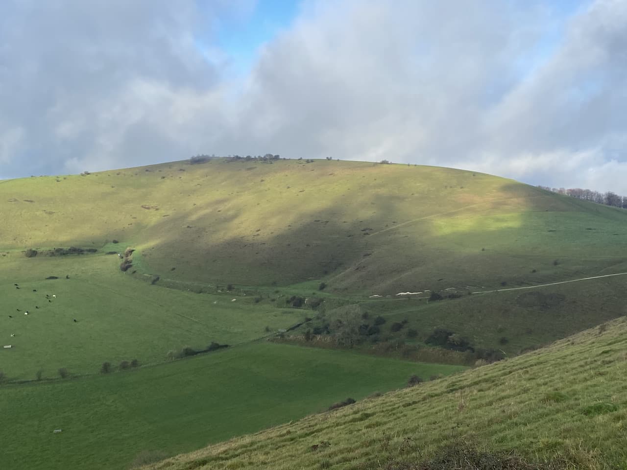
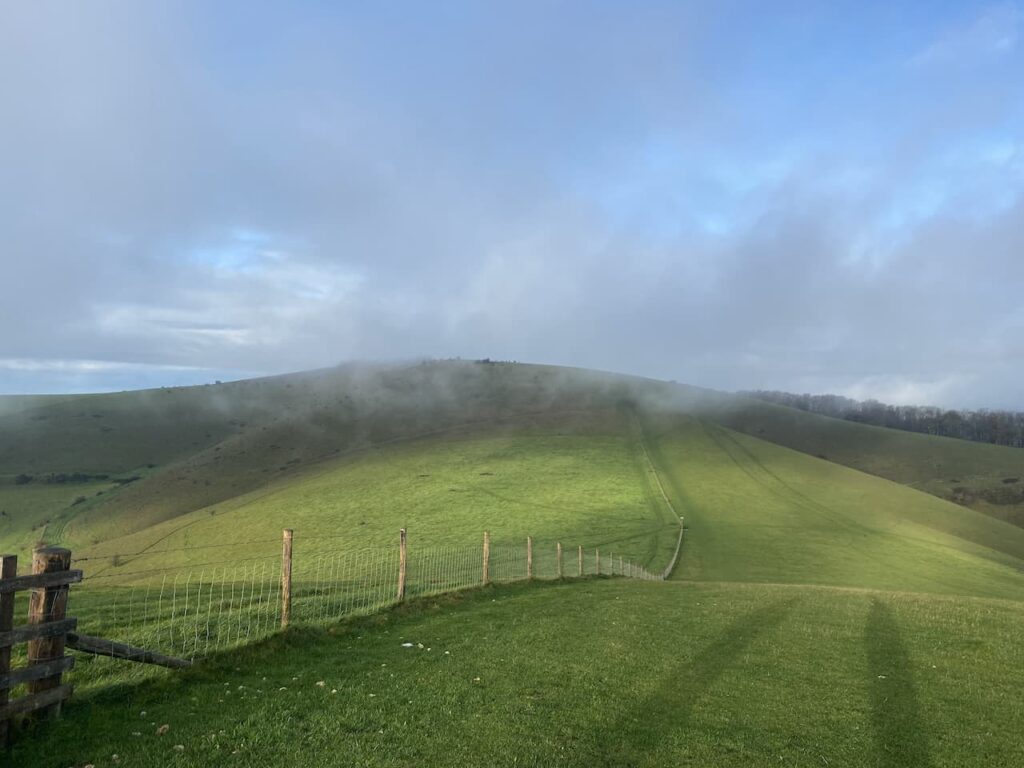
    After going through a gate we veer to the left to follow a footpath heading north west across Compton Down towards Melbury Hill which is currently shrouded in low cloud.

    The path descends and then has a stiff ascent to the summit of Melbury Hill where we go through a gate and wander across to the Ordnance Survey Trig Pillar which sits 839 feet above sea level.  This is the 230th trig pillar I have bagged. 

    Since we started walking together I have been trying to get Nigel to share my enthusiasm for trigs, it is a slow process, but I will persist and I am sure that sooner or later he will get the bug.  On top of this trig is a Toposcope.  I always find these interesting features, unfortunately the visibility is poor today so we cannot see any of the points in the distance.

    From the trig point we turn and retrace our route heading downhill to a point where a footpath crosses the access land.  Here we go through a gate and take a path along the top of an area of access land which skirts the top of a cracking contoured inlet.

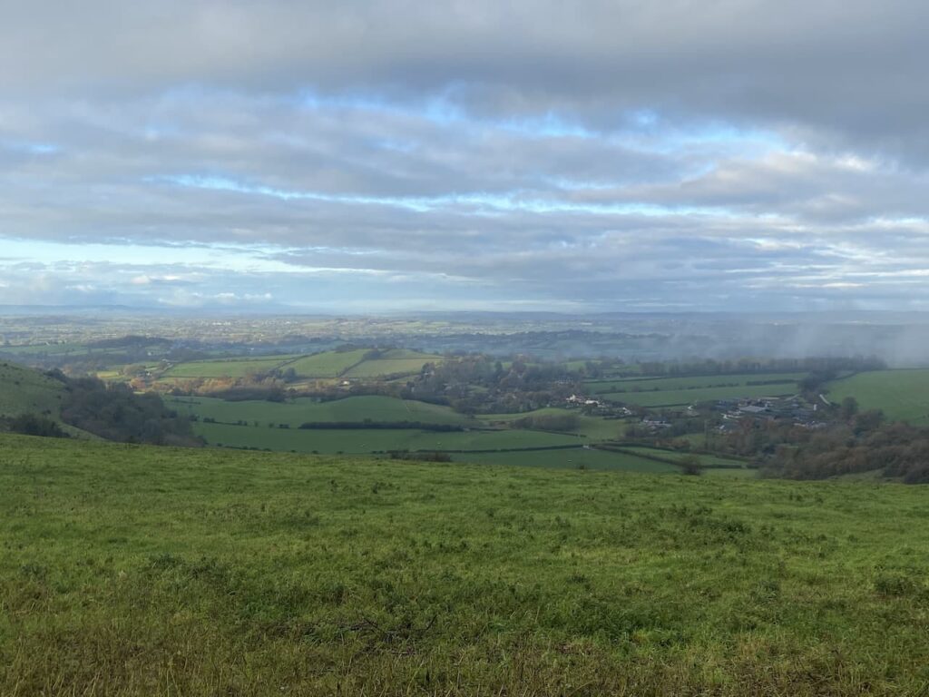
    As we walk the cloud starts to clear and we get good views across the Blackmore Vale.

    The path leads us to a track where we turn left and walk uphill to the car park from where we started our walk.  So far we have completed two and a half miles, but there are still a few more to do.  From the car park we go through a gate and follow a fence lined path heading south to reach the Fontmell Down Nature Reserve.

    This nature reserve is owned by Dorset Wildlife Trust and covers 155 acres of land.  It is a stunning area to walk.  Our route soon leads through a belt of trees heading towards a minor road.

    on reaching the road there is an option to turn left to follow the road a short distance to a junction.  This would cut a corner from our walk but would also mean missing out on another trig point so we turn right and follow the road downhill to reach a footpath on the left which leads off a small parking area.  This path heads west and after passing through bushes soon reaches a field with fine views across the valley.

    On reaching a junction with a path we turn left and follow the path across fields to reach a gate leading to a minor road.  We turn left along the road  and go steadily uphill to reach the summit of Sutton Hill.  Tucked away in the hedgerow on the left is an Ordnance Survey trig pillar, my 231st.  In November this trig is difficult to spot so I would imagine in the Spring and Summer it would be impossible to see.

    At a junction of roads at Sutton Clump we turn left and walk besides the ‘B’ road.  This road is busier than we anticipated and there is a narrow verge so we proceed with care.  Had we not been so keen to visit the trig pillar it would have been a safer option to have turned left earlier and not done this extra little loop.  At a crossroads we turn right and take the road signposted towards Ashmore.  This minor road leads downhill passing Fontwood House to reach a wide entrance to Forestry Commission land at Ashmore Wood.  Here we turn right and follow the forestry track into the woods.

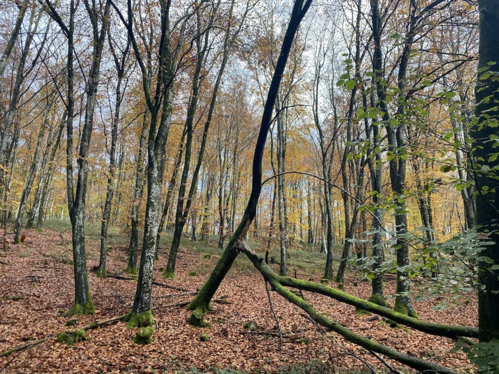
    We follow this track through the trees into Stubhampton Bottom. Late autumn and winter are my favourite times of the year to walk through woods.  At this time of the year it is possible to appreciate the full structure of trees and the ground below them.

    We stay with the track until we reach a crossing of footpaths near to Hanging Coppice, here we turn left to join the Wessex Ridgeway and follow this path steadily uphill along the edge of the woods with fields to our right.

    We stay with the path, ignoring a path on the left where the Wessex Ridgeway turns to the north and then pass a gateway to Ashmore Bottom.  Years ago Lynnie and I walked in this area and until now I had forgotten about it, but I do recall going through Ashmore Bottom and trying to avoid a herd of inquisitive cows.  Our route today stays besides the edge of the woodland and then continues on the path heading east as it follows a track to reach a copse where it turns left and continues on to pass through Wiltshire Copse.  At a footpath sign on the left we follow a fence-lined path towards Ashmore.  

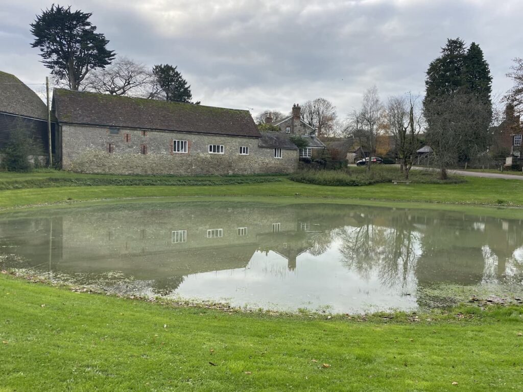
    On reaching a minor road we turn right and walk into Ashmore and past the village pond.  This is a dew pond, which means that it is only fed by rain water.  The village sits on chalk so the pond is lined with clay and would have been created to provide drinking water for local livestock and those being driven through the village along the droves.  Apparently the last time the pond dried out was during Queen Victoria’s Golden Jubilee in 1887.

    Each year locals hold the Filly Loo around the pond.  The event is led by a Green Man and involves dancing and merriment around the pond.  The origins of the event and the meaning of Filly Loo have been lost in time but being held around the time of the summer solstice it is thought to have Pagan influences.  It is therefore ironic that proceeds from the event now go to support the local church and chapel, as well as other local amenities.

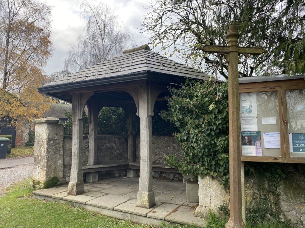
    Besides the pond sits the village bus shelter.  This is a grand affair, but it is not clear if it still serves its original purpose as it is difficult to find details of buses running to the village.

    Close to the pond is the village church of St Nicholas.  There has been a church at this location since medieval times but according to Historic England the current church was built in 1874 by Charles Edwards of Exeter.

    On the church is a very clear Ordnance Survey benchmark.  In recent times I have been “bagging” these marks along with my trig bagging.  There are over half a million in the Country so plenty to keep me occupied for the rest of my days.  Strangely, despite stating he has no interest in these marks, Nigel is quick off the mark to see if he can spot this one first.

    From the churchyard we turn right heading out of the village past Manor Farm and then take a footpath on the right going northwest to Shepherds Bottom Plantation.  Entering another field we follow the path to the right and then turn left to head into the attractive valley of Shepherds Bottom.

    The path goes uphill to pass West Wood.  On reaching a road we cross and then go over a stile onto Compton Abbas Airfield.  The footpath runs diagonally across the grass runway of the airfield, but the warning notices indicate that this might be a bit precarious.

    It was from this airfield that Asil Nadir fled the UK in 1993 following the collapse of his company Polly Peck and an investigation by the Series Fraud Office.  He was a fugitive until 2010 and then was tried and convicted and given ten years imprisonment for false accounting and theft totalling £32 million.  As we head across the runway I keep an eye out for planes taking off and landing, but fortunately we encounter no flights.

    After crossing the runway we go over another stile and then turn left to follow a footpath along the perimeter fence of the airfield.  To our left there are fine views over Melbury.

    On reaching a road we cross and enter a parking area where we turn left and follow the fenced path besides the road heading back to our starting point.  Our walk has covered fourteen miles and throughout we have had cracking views.  I will have to return to Melbury Beacon on a clear day to get the full value and see just how far can be seen from the toposcope.

    You can view this 14 mile walk on OS Maps and download the GPX File Here

    To follow our walk you will need Ordnance Survey Outdoor Explorer Map OL118 Shaftesbury & Cranborne Chase

    10th November 2020

    © Two Dogs and an Awning (2020)

    All information on this site is provided free of charge and in good faith and no liability is accepted in respect of damage, loss or injury which might result from it.  To the best of my knowledge the routes are entirely on public rights of way or within areas that are open for public access.
    Walking can be hazardous and is done entirely at your own risk.  It is your responsibility to check your route and navigate using a map and compass.
  • Pilsdon Hill and Lewesdon Hill

    Pilsdon Hill and Lewesdon Hill

    Before the year is out I plan to visit the highest point in Wiltshire at Milk Hill on a walk which will include bagging the Alton Barnes White Horse.  It is therefore interesting to discover we are currently staying not too far away from what for years was thought to be the highest point in Dorset at Pilsdon Hill.

    The starting point for our walk is the Lay-by besides the B3164 at the southern side of the hill fort (Grid Ref: SY414009).  From the lay-by we cross the road and enter the National Trust land around Pilsdon Pen.

    After reading the information board we commence the steady ascent up to the summit of the hill.

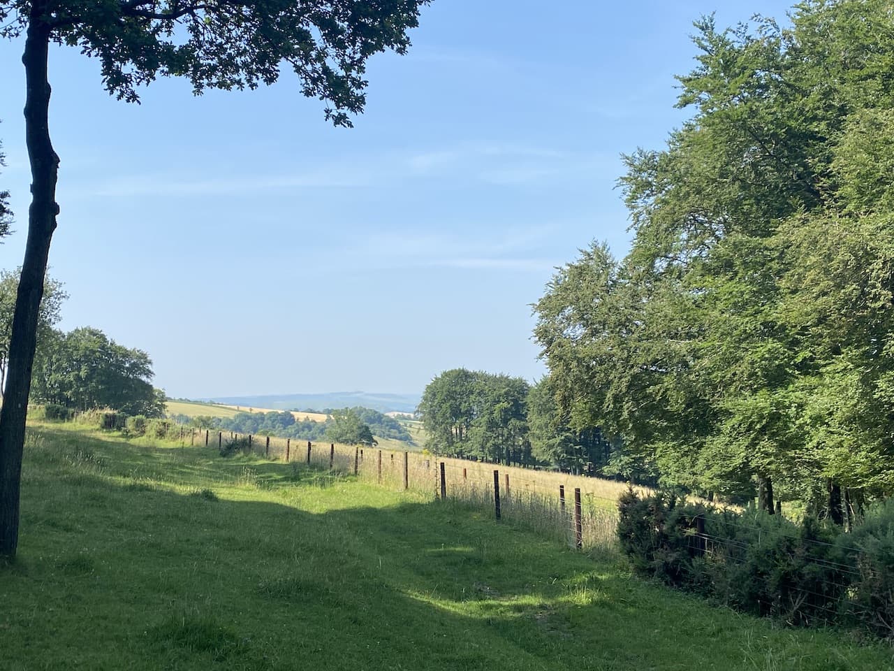
    There are cracking views as we go up so stop to look behind us.

    The path reaches the plateau on the top of the hillfort and we stop to bag the Ordnance Survey Trig Pillar, my 217th successfully bagged.

    The Iron Age hill fort is built on what was for many years thought to be the highest hill in Dorset standing at 909 feet above sea level.  More recently it was discovered that nearby Lewesdon Hill is about six feet taller.

    Our route takes us north across the plateau on the route of the Monarch’s Way, on reaching the ramparts on the northern side of the hill fort we turn right.

    This route is now both part of the Monarchs Way and the Wessex Ridgeway and on reaching a gate we follow the way-markers.

    We  descend across fields to cross a minor road and join a farm track towards Lower Newnham Farm.  As the track nears the farm house we follow a permissive path diverting the footpath away from the front of the house.  I have no problems with such diversions as  long as they are well maintained and clearly marked, as this is.  Leaving the farm we follow a track and then cross a stream and head uphill across a couple of fields.  At a junction of paths we turn right, leaving the Monarch’s Way but staying with the Wessex Ridgeway along an old lane, Sheepwash Lane.

    At the B3164 we turn left and walk a couple of hundred yards besides the road to reach an old lock-up where we leave the road and take the left fork on a footpath to follow the Wessex Ridgeway as it gradually ascends Lewesdon Hill Lane.

    We keep with this path as it goes uphill.

    On reaching a three way split in the track we go right, I had initially intended to go to the top of Lewesdon Hill but there are quite a few folk about and as we are being very careful we decide it will be easier to social distance on the quieter lower path.

    We stay with the clear path as it goes through the trees to reach a junction of paths at Crabb’s Hill, here we turn right and follow the clear path as it steadily descends to a lane.  We turn left and the very quickly take a footpath on the right heading diagonally across fields .

    On reaching a lane we turn right and follow it steadily downhill to Blackney.  At a junction in the village , next to a cracking carving of an owl, we take the lane signposted to Pilsdon.

    This lane heads west and after half a mile, when the lane bends to the right, we carry straight on along a driveway for Gerrard’s farm.  In a couple of hundred yards the driveway sweeps to the left but we continue straight on taking a footpath heading west across fields towards a copse.  On reaching the copse we take a path on the right going through the trees and then continuing across fields towards Pilsdon.

    We pass through a gate and join a farm track for Pilsdon Dairy Farm and carry on to St Mary’s Church which forms part of the Pilsdon Community.  This Community was founded in 1958 by Reverend Percy Smith and Gaynor Smith to provide a refuge for people in crisis, supporting them through prayer and community living.  Up to twenty-five people are accommodated in Pilsdon Manor and the church forms part of their daily prayer routine.

    From the church we continue along the lane towards the village and on reaching a junction go right heading north on a lane signposted to Broadwindsor.  We stay with this lane as it heads out of the village, then turn left at a T-junction to ascend to the B3164 and our starting point at the car park.  

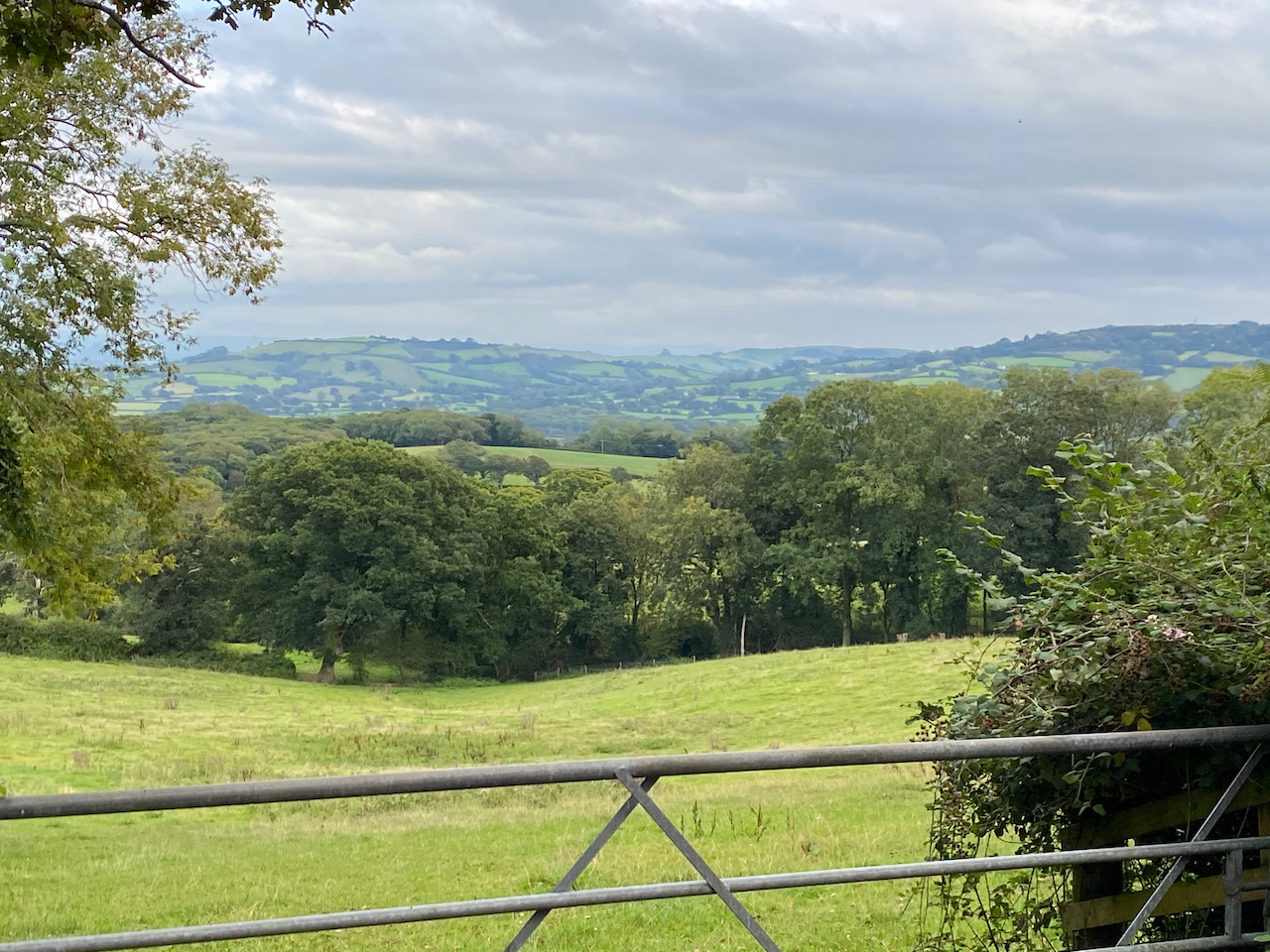
    Our walk has covered just over seven miles and we stop to look at the view from the car park which is out towards the coast and Lyme Bay.  We decide to pop down to Lyme Regis for a wander about and a fish and chip supper.  Crosby is very excited at this news, he has a liking for both fish and chips!

    You can view this 7.25 mile walk on OS Maps and download the GPX file Here

    To follow my walk you will need Ordnance Survey Explorer Map 116 Lyme Regis & Bridport

    11th September 2020

    © Two Dogs and an Awning (2020)

    All information on this site is provided free of charge and in good faith and no liability is accepted in respect of damage, loss or injury which might result from it.  To the best of my knowledge the routes are entirely on public rights of way or within areas that are open for public access.
    Walking can be hazardous and is done entirely at your own risk.  It is your responsibility to check your route and navigate using a map and compass.

  • Bagging Lambert’s Castle Trig

    Bagging Lambert’s Castle Trig

    A few years ago Lynnie and I visited Lambert’s Castle hill fort.  In those days I was not “bagging” trig points.  Although I am pretty sure we visited the trig I have no pictorial evidence, so we are heading that way today as it is not too far from Hill Farm CL.

    We start our walk from the National Trust  parking area at Lambert’s Castle (EX13 5UT) and rather than go through the gate onto the access land around the castle we walk a few hundred years along the driveway and then take a footpath on the left heading alongside an area of access land.

    On reaching a minor road, Fishpond Bottom Road, we cross and join an attractive tree lined track heading south.

    This track steadily descends to Trevett’s Corner where we join a minor road soon reaching a junction where we take the lane signposted to Fishpond.  After a quarter of a mile, just as the road bends to the left in front of a house, we reach a footpath on the right.  It was my intention to take this path across the fields to eventually reach Wootton Fitzpaine, however, a herd of frisky steers means we re-consider.  

    I am always cautious around cattle, but even more so when walking with a dog, so a quick look at the map has a new route plotted.  We now continue along the road as it turns east and then north to ascend towards Sheepwash Farm.  From a gateway we get far ranging views.

    The road bends to the left on reaching Sheepwash Farm, we take a bridlepath besides the farm and then continues along a track to ford a stream.

    We continue on the bridleway to reach Little Coombe Farm where we join a track and turn right.  We continue on the track to pass Great Combe Farm and then head uphill to reach a minor road, Long Lane, here we turn right.

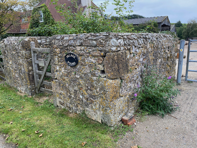
    We stay with this quiet country lane for just over half a mile to reach Wooton Cross where we turn right and follow the lane into Wootton Fitzpaine.  On entering the village we pass the old village pound.  Such structures were used in medieval villages to impound stray livestock.  They would be handed back to the owner on a payment of a levy.

    We continue into the village to reach the gates of the Manor House.  

    We go through the gates and follow the driveway to the village church which was built in the 13th and 15th centuries.  It was restored in 1872.  Unfortunately it is locked so we cannot have a look at the interior.

    From the church we head up the manor driveway and after going through the gates turn right and head east out of the village to return to Wootton Cross where we continue along the road to reach Baker’s Cross.  We now turn left  into Abbott’s Wootton Lane  and pass Lower Abbott’s Wootton Farm and then Higher Abbott’s Wootton Farm.  After just over a mile and a half we reach a road junction where we go right and then after a hundred yards turn right again into a narrow country lane.  

    This lane runs below Lamberts Hill for three quarters of a mile with fine views across the valley.

    At a fork in the road we go left and pass cottages and then just as we reach the B3165 we take a path on the left leading steeply uphill into woods.

    There is a network of paths in the woods, but we stay with the main path, which is the route of the Wessex Ridgeway, to reach the clear summit of Lambert’s Hill Fort.

    We follow a clear path across the access land. Soon we spot the Ordnance Survey trig pillar and we make our way across to it.  This is the 215th I have bagged.

    There are some cracking views from this hillfort and we continue along the ridge and stop to look at the view towards Lyme Bay.

    Nearing a tree line we turn right and head back to our starting point in the car park.  Our wander around has been close to eight miles.  Rather more road walking than planned, but the lanes have been quiet country roads and we have only seen a couple of cars.

    You can view this  7.75 mile walk on OS Maps and download the GPX file here

    To follow my walk you will need Ordnance Survey Explorer Map 116 Lyme Regis & Bridport

    9th September 2020

    © Two Dogs and an Awning (2020)

    All information on this site is provided free of charge and in good faith and no liability is accepted in respect of damage, loss or injury which might result from it.  To the best of my knowledge the routes are entirely on public rights of way or within areas that are open for public access.
    Walking can be hazardous and is done entirely at your own risk.  It is your responsibility to check your route and navigate using a map and compass.

  • On the Plain and in the Vale

    On the Plain and in the Vale

    It is interesting that we are staying in the caravan only half an hour’s drive from home and yet it feels like we are far from home in another part of the Country.  After having our travel restricted for so long being in the Coachman again is a bit of a novelty.  

    We have decided to walk from our pitch at Charlton Manor CL today and on leaving the site we turn right to walk towards the village.  Soon after crossing the River Avon we take a lane on the right and then after a couple of hundred yards fork left to head uphill on a footpath to reach the Charlton Cat cafe. This was a pub and the building dates from the 1820’s, apparently, it was originally called the Red Lion, but by the 1920’s it had become known locally as the Cat due to the poorly painted lion on its sign, so the name has been changed. 

    We cross the A342 with care and join the track opposite, this is the Charlton Drove and we follow it making a long steady ascent.

    The track passes barns and continues on to pass the Charlton Clumps trig pillar.  We bagged this trig on our short walk yesterday so there is no need for a picture today.  Soon after at a junction of tracks we turn right to follow a path besides the edge of the Ministry of Defence danger area.

    It was back in 1898 that the army first conducted training exercises on the plain and started acquiring land.  This continued until the 1940’s and now there is about 150 square miles of land with restricted access, or in some parts no access at all because of live firing.  

    As we head along the track we can hear the sound of firing in the distance and Lynnie seeks assurance that it is safe to be walking here.  I point out that we are outside the restricted area so there is no problem.

    Lynnie’s concerns are further fueled when we see signs warning against picking up shells and digging.  I had not planned to partake in either activity!

    The route is very easy to follow, we keep on the track with the MOD land to our left and pass Charlton Clumps.  Out to our right there are wide ranging views across the Vale of Pewsey.  In the far distance is the Alton Barnes White Horse.

    As we walk the sound of gunfire becomes louder and I reassure Lynnie that we will be perfectly safe.  As we reach a parking area near a hut we bump into a local chap and I mention Lynnie’s concerns.  He helpfully recounts a story of how in 2014 a live shell went off course and landed in a farmer’s field near the Pewsey Vale village of Patney.  This is below where we are standing and about 5 miles from the edge of the army range. According to the BBC’s report of the incident the MOD spokesman said “No one was injured and no property was damaged but all live firing has been suspended whilst we investigate”.  Well that’s all right then!

    Still heading along the track we spot soldiers on their exercise on the plain and signs of the shells exploding.  I am surprised that given all the land they have they conduct exercises so close to the edge of the range.  But thankfully today they appear to be firing into the range away from us.

    We are now on Urchfont Hill following the route of the White Horse Trail, this trail is 100 miles long and visits all the Wiltshire White Horses.  Early in the year, before the extent of the Covid-19 pandemic was clear I mapped out the route and hoped to identify four or five days in the spring to head off and do the walk.  However, the pandemic has put pay to that, instead I am bagging the horses individually on day long circular walks.

    We reach a junction of trails where the Wessex Ridgeway joins the White Horse Trail.  We turn right to take the Wessex Ridgeway path as it descends into Urchfont on a bridleway.

    On reaching the B3098 we join the pavement and turn right to walk into the village. and then turn into the High Street and continue to the village pond.  Apparently this was first drawn on a map in 1784 and was in use as a watering hole for livestock until the 1930’s.  It is now purely decorative.

    We pass the pond and visit the church of St Michael and All Angels.  Parts of this church date from the late 13th century and the tower was built in the fifteenth century.  Restoration work was undertaken in 1864 and 1900.  It is locked so we are unable to go inside, but like most churches there is a convenient bench for us to stop for lunch.

    Resuming our walk we head back into the village, passing the pond and turn left into Friars Lane, we follow this lane, keeping right as it forks, to reach the edge of the village.  After passing a new housing development we continue to the end of the lane on a footpath to reach arable fields.

    At a minor road we cross and follow the route of a footpath across a field of corn.  The route is clear on the map, but there is no clear path or way-markers and as we near the A342 there is no stile or gate exiting the field.  It is not clear if the footpath has been closed or just neglected.  I will have to follow this up with Wiltshire County Council and The Ramblers.  Rather than go across the field again we follow its edge besides the A342 to reach Manor Farm where we turn right cross the main road close to a milestone.  Apparently the stone was erected in the 19th century on the Lydeway turnpike.  It has obviously been recently refurbished.

    We take a footpath opposite, this soon turns to the north and then to the east.  

    We stay with it to a three way junction of paths.  Here we take the middle footpath heading south east across arable fields to reach Wedhampton where we turn left on to Green Gate Road and walk through the village to join the High Street.  After passing the village notice board and defibrillator we take the next left into Plum Lane.

    At the end of the lane we continue heading east on a footpath across fields to reach a house with an old Victoria Letterbox on its wall on the edge of Connock.

    We continue along the lane into the village and then by a notice board on the hedge of a thatched cottage turn left into a lane that soon becomes a path.  We now head across fields to reach Chirton.  In the village we turn left and walk through the village to pass the primary school and then pop into have a look at St John the Baptist Church.

    From the church we continue through the village and as the road sweeps to the left into Patney Lane we take a lane in front which becomes a footpath.  Our route is now across fields to reach Marden.

    In Marden we cross a minor road and continue east on a footpath heading towards Wilsford.  One of the fields we pass through has a strange crop we have not previously encountered.  Later research reveals this to be quinoa.

    In Wilsford we join a road and head east through the village to pass the village hall and church.

    At a road junction we take the lane signposted to Hilcott.  After passing the attractive farmhouse at Cuttenham farm we take a lane on the right.

    In a hundred yards at a junction of paths we continue south to cross a stream and then head along the edge of a field.  At the next crossing of paths we turn left and follow the path heading east.  To our right on the opposite side of the road is a fine example of Strip Lynchets.  This is an ancient field system created on downland to maximise the use of the land for agriculture.

    Now we follow the path along the edge of the field with the Charlton Cat visible in front to the right.

    It is only a short distance from here back to the edge of the village where we turn left and wander back to caravan site.  Our walk has covered just over 14 miles and there have been some stunning views over the Vale of Pewsey and through attractive villages.

    You can view this 14 mile walk on OS Maps and download the GPX file here.

    To follow this walk you will need Ordnance Survey Explorer Map OL130 Salisbury & Stonehenge

    Additional Information

    For more information on this walk including car parking, amenities, refreshments and detailed walking directions visit my associated Walking Moonraker website.

    13th July 2020

    © Two Dogs and an Awning (2020)

    All information on this site is provided free of charge and in good faith and no liability is accepted in respect of damage, loss or injury which might result from it.  To the best of my knowledge the routes are entirely on public rights of way or within areas that are open for public access.
    Walking can be hazardous and is done entirely at your own risk.  It is your responsibility to check your route and navigate using a map and compass.

  • Bagging Cherhill and Devizes White Horses

    Bagging Cherhill and Devizes White Horses

    Earlier in the year my walking buddy Mandy suggested we try and visit every white chalk horse in Wiltshire as part of our 2020 walks.  At the time it seemed an easy task, but with the current developments around the Covid-19 pandemic this might become more challenging.  The current guidance from the government is unclear, other countries have restricted travel but at the moment no such measures have been introduced.

    The starting point for our walk is the large car park on Station Road (SN10 1BZ).  We start our walk by walking back along Station Road to reach the Market Place with its magnificent Market cross built in 1814.

    We cross the Market Place and wander through the covered market and continue along the road to reach the A361, we cross by the Caste Hotel and turn right to follow the A361 and then besides a roundabout turn left into Commercial Road.  At a mini roundabout opposite the Community Hospital we turn right and head down New Park Road.  On reaching the Kennet and Avon Canal we turn right to walk along the tow path to reach the London Road Bridge.

    We are walking by the back of houses and out of the town and soon pass under Coate Road Bridge.

    I always enjoy walking besides canals and have long thought about walking the route that goes from Westminster to Bristol following the Thames towpath to Reading and then picking up the Kennet and Avon canal to Bristol.  The whole walk is around 165 miles long of which 90 miles is along the canal.  During our travels I have walked various sections of this canal, but this stretch today is new to me.  We now pass Devizes Marina.

    We continue under Laywood Bridge and are now out in open countryside.  The next bridge we reach is the Horton Road Bridge with the Bridge Inn sat beside it.

    On reaching the Bishop Cannings Swing Bridge we leave the tow path and cross the canal to take a farm track towards Bishop Cannings.

    The track leads us by the entrance to Court Farm Caravan site.  Both Mandy and I are caravanners so we stop to look, but the site would not suit me as it does not have electric hook ups.  We stay on the track and then join a minor road for a short distance before turning left to walk down a lane to visit the church of St Mary the Virgin.

    After looking at the church we return to the minor road and head straight across to join a footpath that goes across fields towards Bourton. The streams in this area are the source of the River Avon, which flows south from here and is a substantial river by the time it gets to the other side of Salisbury just over twenty miles way.  At a junction of paths we turn left and walk into Bourton soon joining a minor road.  At a junction we turn right and follow the country lane to a fork in the road at a post-box.  We go left and follow this track as it heads steadily upwards towards the downs.  At the end of the lane there is a fork in the track.  We go left heading westwards and stay on this path, which does not appear to be frequently used, until we reach the A361. 

    We cross the main road and take a footpath opposite which continues uphill to reach a road where we turn right and walk besides it.  There is no pavement so we are cautious of traffic, after going over the brow of the hill we ignore a bridleway on the left, instead we continue a few hundred yards downhill to reach Hill Barn Cottages.  Here we take a footpath along a track which passes through the farm buildings and then continues north with Furze Knoll on the downs in front of us.  

    At a crossing of paths we turn right and go in a north easterly direction along a drove.

    After crossing the Wansdyke Path we carry straight on to pass the entrance to Baltic Farm.  After three quarters of a mile we turn left on a footpath and head north crossing a footpath that runs  along a Roman Road.  We have joined the Wessex Ridgeway and White Horse Trail which we follow uphill towards the Lansdowne Monument at Cherhill.

    Passing through a gate we enter access land and continue uphill.  To our left is the impressive bowl in Calstone Down.  Mandy and I recently did a map reading and navigation course, part of which featured the use of contour lines for navigation.  This is certainly a good area to compare the map to the landscape in front of us.

    We follow the path up to the Iron Age hill fort of Oldbury Castle, we turn left and follow the path through the ramparts towards the Lansdowne Monument.

    This monument, also known as the Cherhill Monument, stands at 125 feet high and is a clear landmark.  It was erected in 1845 by the 3rd Marquis of Lansdowne to commemorate his ancestor Sir William Petty (1623-1687) and was designed by Sir Charles Barry, the architect of the Houses of Parliament.  Petty was the son of a cloth maker and studied to become Professor of Anatomy at Oxford.  He served as Physician General in Oliver Cromwell’s Army in Ireland and whilst there reportedly conducted the first land survey of the country.  After the restoration of the Monarchy he was appointed a Commissioner of the Royal Navy by Charles II.  He was a founding member of the Royal Society and attained great wealth.  

    The lower parts of the monument are clad in timber with a rubble guard, this was first erected in 2013 and the National Trust, who now own the site recently sought a further five-year extension to retain this protective structure.  Apparently, they need this extra time to raise the £2.7m required to restore the monument. It is reported in local newspapers that the National Trust said they might close the entire site if the permission for the protective structure was not granted.  It is a pity that between the National Trust and the current Marquises of Lansdowne they cannot find the funds required to ensure continued safe public access to the site without the need for the unsightly cladding.

    We use the monument to shelter from the chilly wind whilst we eat our lunch.  On my walks I have stopped to eat my sandwiches and soup in some stunning locations, this must rank in the top ten.

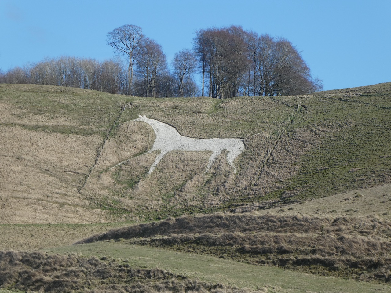
    From here we head off on the northern side of the monument and immediately see the Cherhill White Horse.  This is the second oldest of the remaining eight white horses in Wiltshire.  It was first cut in 1780 and over the years has been scoured a few times, most recently in 2002 when it is reported that one hundred and sixty tonnes of new chalk were added.  

    We decide to view the white horse from lower down so walk around the top of it and then descend steadily on a path to the northern edge of the access land where we turn left.  From here the horse looks stunning.

    The route we take follows the fence line along the northern edge of the access land to reach a drove.  Here we turn left and walk uphill and after going through a gate turn right to follow a path descending across access land.  At a crossing of paths we turn left and head south to reach a track.  We turn left and then immediately take a path on the right that follows a track to cross the River Marden.

    Soon after crossing the river at a junction of paths we turn right to pass South Farm and then take a footpath on the left that heads uphill through muddy paddocks and then carries on across fields to a copse.  

    The map shows the path going diagonally over the next field, however the route appears to have been diverted to go along the edge of the field where we continue steeply uphill.  At a fork in the track we go left and carry on across a track and then head more steeply up towards the wireless station on Morgan’s Hill.

    Apparently in 1913 a Marconi Imperial Wireless Chain receiving station was built here, this was converted to military use in 1916.  From 1920 to 1929 it was the base for the first British long-range maritime communications station.  More recently it was used by Wiltshire Constabulary for radio communications and in recent years has been used for mobile phone telecommunications.

    We carry on to reach the impressive Wansdyke which we cross to make a brief diversion to Furze Knoll.  We follow the fence line and then pop through a gate to cross the stubble to reach the damaged trig point on the top of the hill.  This is the 198th I have “bagged”.

    After bagging the trig point we retrace our steps to the Wansdyke and turn left to walk west following the route of this early medieval dyke that once spanned the Western part of the Country from Savernake Forest towards the Severn Estuary.  The part we are on is a section of the remaining Eastern Dyke which is nine miles long. 

    We stay with the dyke path until we reach a footpath on the left that heads across the North Wilts Golf Course.  This is the route of Mid Wilts Way and the Wessex Ridgeway.  The signs across the course are clear and we pass the clubhouse and cross a road to join a drove heading south.  

    In this area on the 13th July 1643 the Battle of Roundway Down was fought between the Royalists, led by Lord Wilmot, and the Parliamentarians, led by Sir William Waller.  The day ended in a resounding victory for the Royalists.  As we walk along on this sunny spring afternoon it is difficult to imagine this was once the site of a bloody battle.

    After passing a parking area near a plantation we start to descend and soon join a minor road and then follow a permitted path that runs down the side of the field parallel to the road.  On the hill behind us is the Devizes White Horse, it is the most recent of the Wiltshire White Horses and was cut in 2000 to mark the Millennium.  It is the only one of the remaining eight Wiltshire White Horses to face to the right, there are only three others in the Country that look to the right.

    The path leads into Roundway where we stay with the road heading south, leaving the hamlet we take a footpath on the right, at a junction of paths we go left and head back towards Devizes.  This path is known as Quakers’ Walk, apparently it goes back over 700 years with the gates at the southern end marking the edge of the Roundway Estate.  

    Interestingly the website for Devizes Quakers suggests the route was originally called Keepers Walk because the house by the gates was occupied by the park Deer Keeper.  However, it became the route that the Quakers living in nearby Bishops Cannings took to walk into Devizes.  Now the name is also associated with a large housing development which borders the edge of the walk.

    After passing the gates we reach Park Bridge over the Kennet and Avon Canal, this is the point where we started our walk along the canal.  Now we follow the road into the centre of Devizes and from the Market Square return to the car park in Station Road.

    Our walk has covered 18 miles and we have enjoyed some stunning views and interesting countryside along the way.  Now that we have bagged our first two white horses of the year it is time to start planning trips to the other six dotted around Wiltshire.

    You can view this 18 mile walk on OS Maps and download the GPX File Here

    To follow my walk you will need Ordnance Survey Explorer Map OL 157 Marlborough & Savernake Forest

    Additional Information

    For more information on this walk including car parking, amenities, refreshments and detailed walking directions visit my associated Walking Moonraker website.

    13th March 2020

    © Two Dogs and an Awning (2020)

    All information on this site is provided free of charge and in good faith and no liability is accepted in respect of damage, loss or injury which might result from it.  To the best of my knowledge the routes are entirely on public rights of way or within areas that are open for public access.
    Walking can be hazardous and is done entirely at your own risk.  It is your responsibility to check your route and navigate using a map and compass.

  • Avebury to Stonehenge on the Sarsens Trail

    Avebury to Stonehenge on the Sarsens Trail

    Earlier in the year with three friends, Mandy, Glenda and Ged, I walked the Clarendon Way, the 27-mile route between Winchester Cathedral and Salisbury Cathedral it was a cracking day and the four of us vowed to do another long distance walk together when our diaries permitted.  Today we are heading out again to tackle the Sarsens Trail, a 26-mile route between the stone circles at Avebury and Stonehenge.
    (more…)