Tag: Victoria Cave

  • From Settle to Winskill and Sugar Loaf

    From Settle to Winskill and Sugar Loaf

    We are nearing the end of our current trip to Brigholme Farm CL, but still have time to fit in another of our favourite walks from the site.

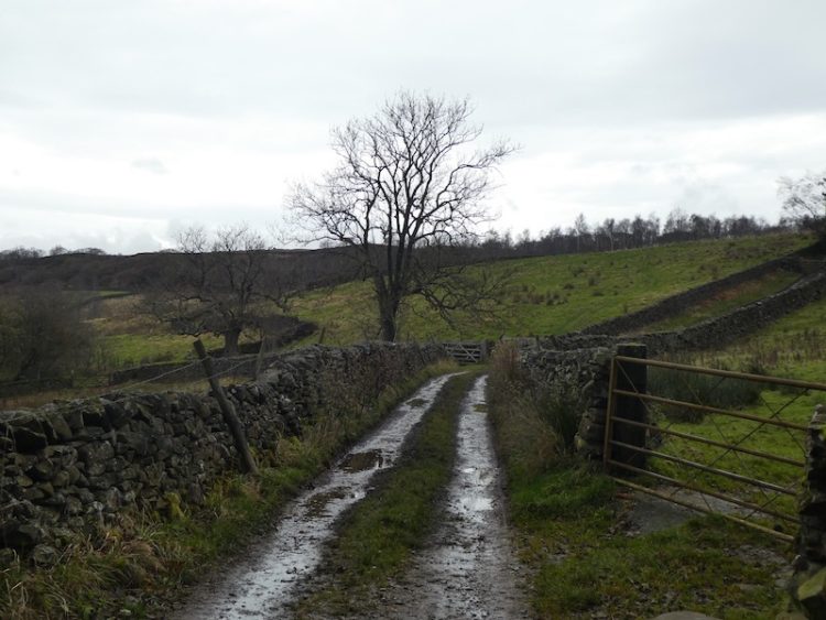
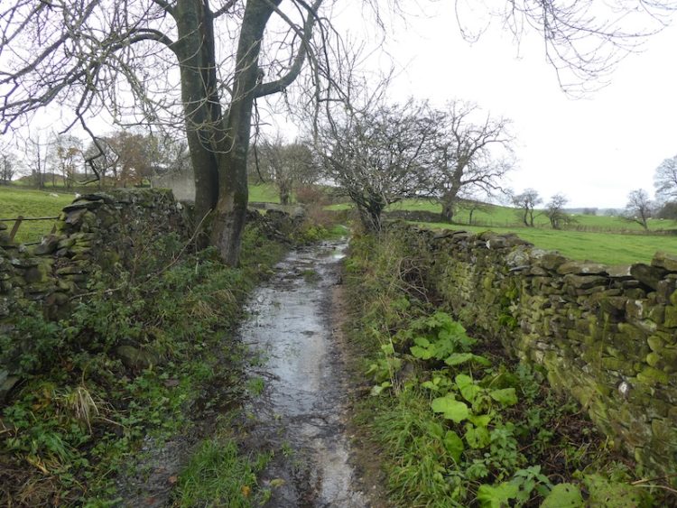
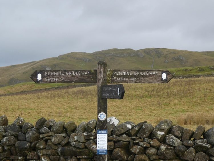
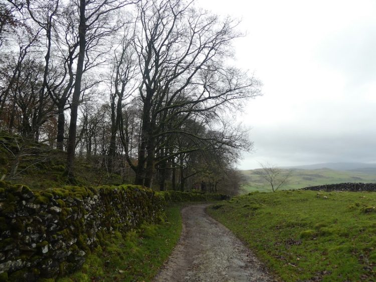
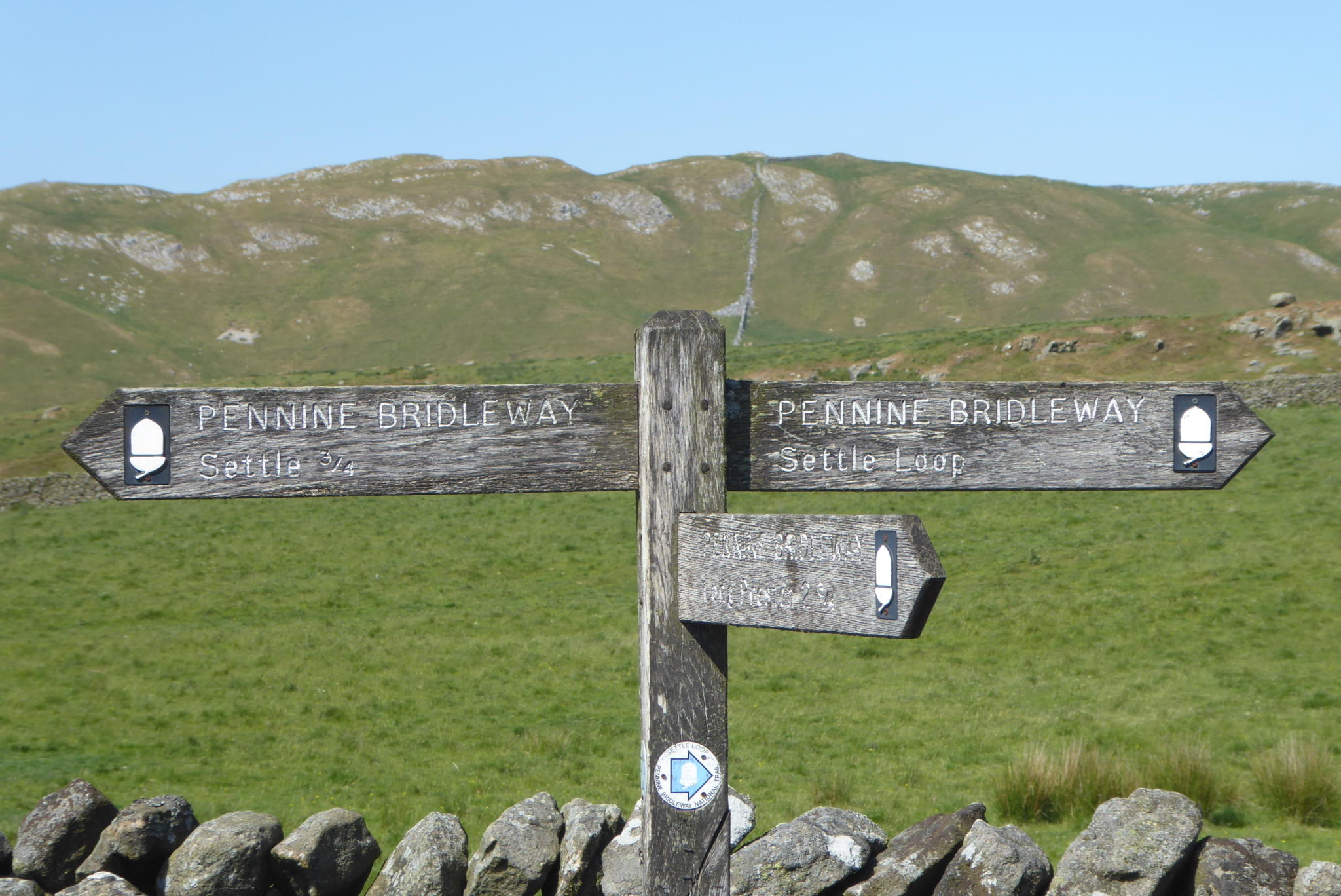
    Leaving Brigholme Farm CL we turn right and head into Settle and leave the centre of town by Constitution Hill soon joining the walled footpath as it heads steadily uphill on the route of the Pennine Bridleway.

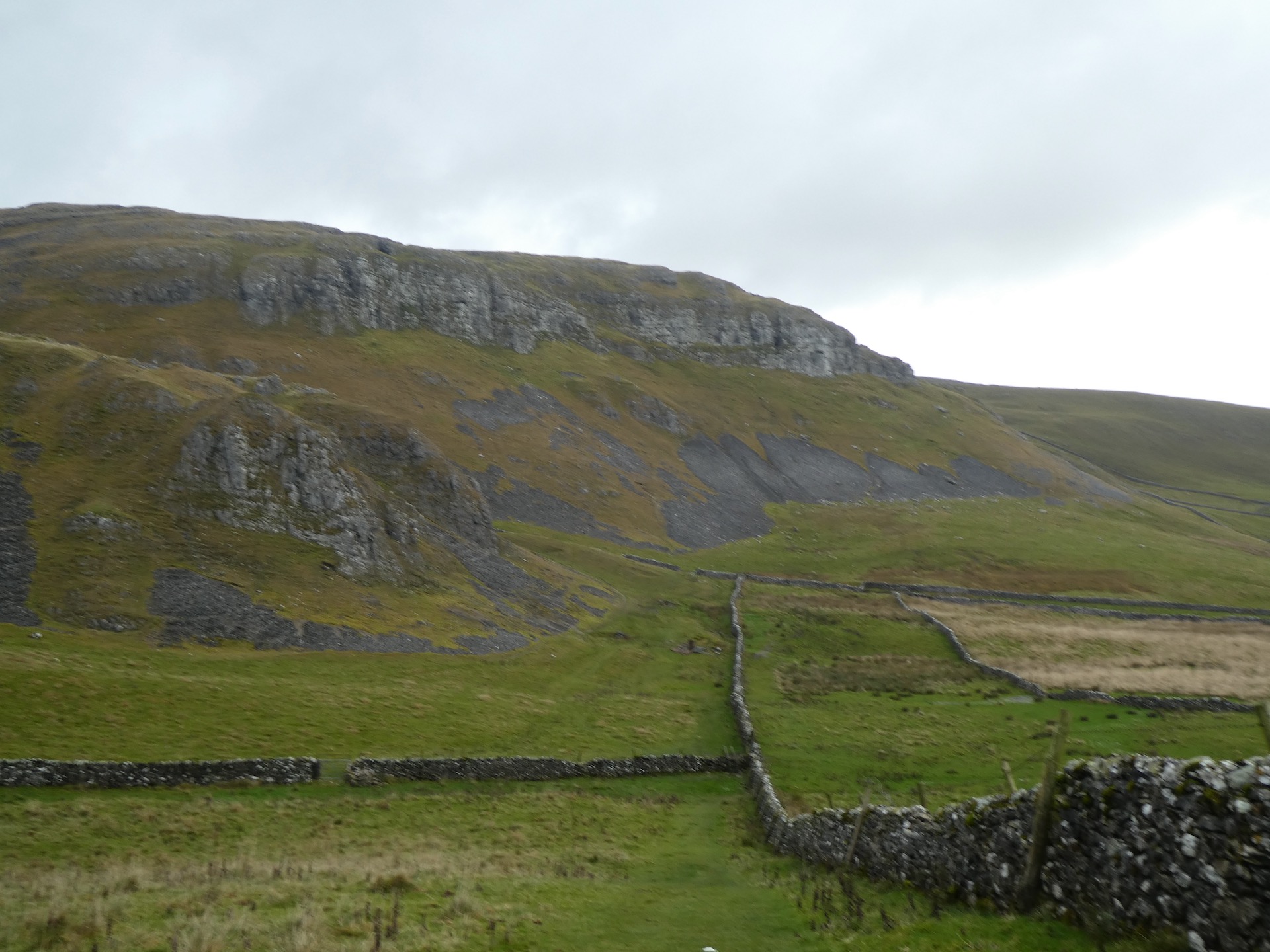
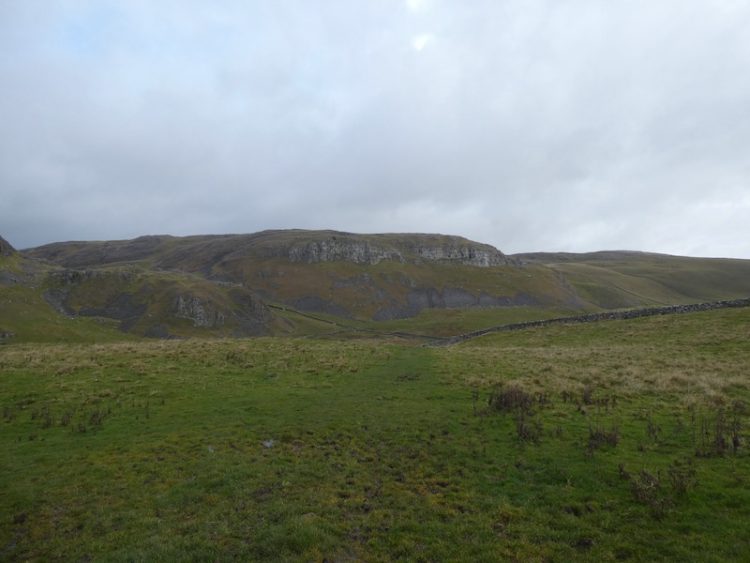
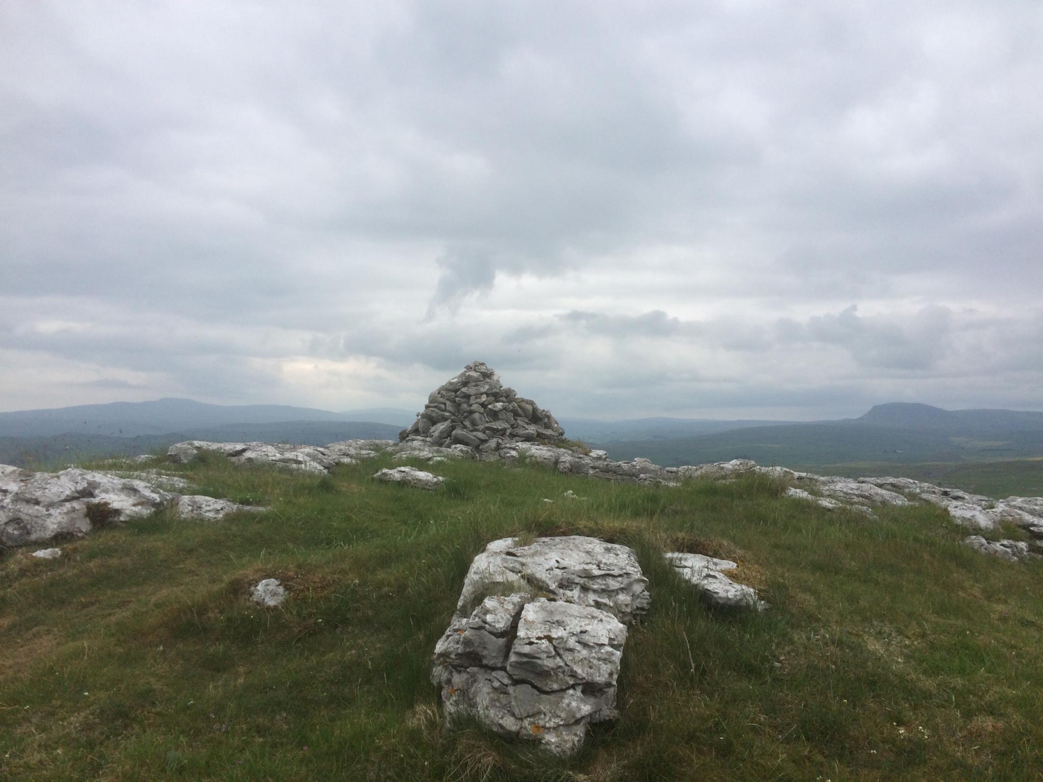
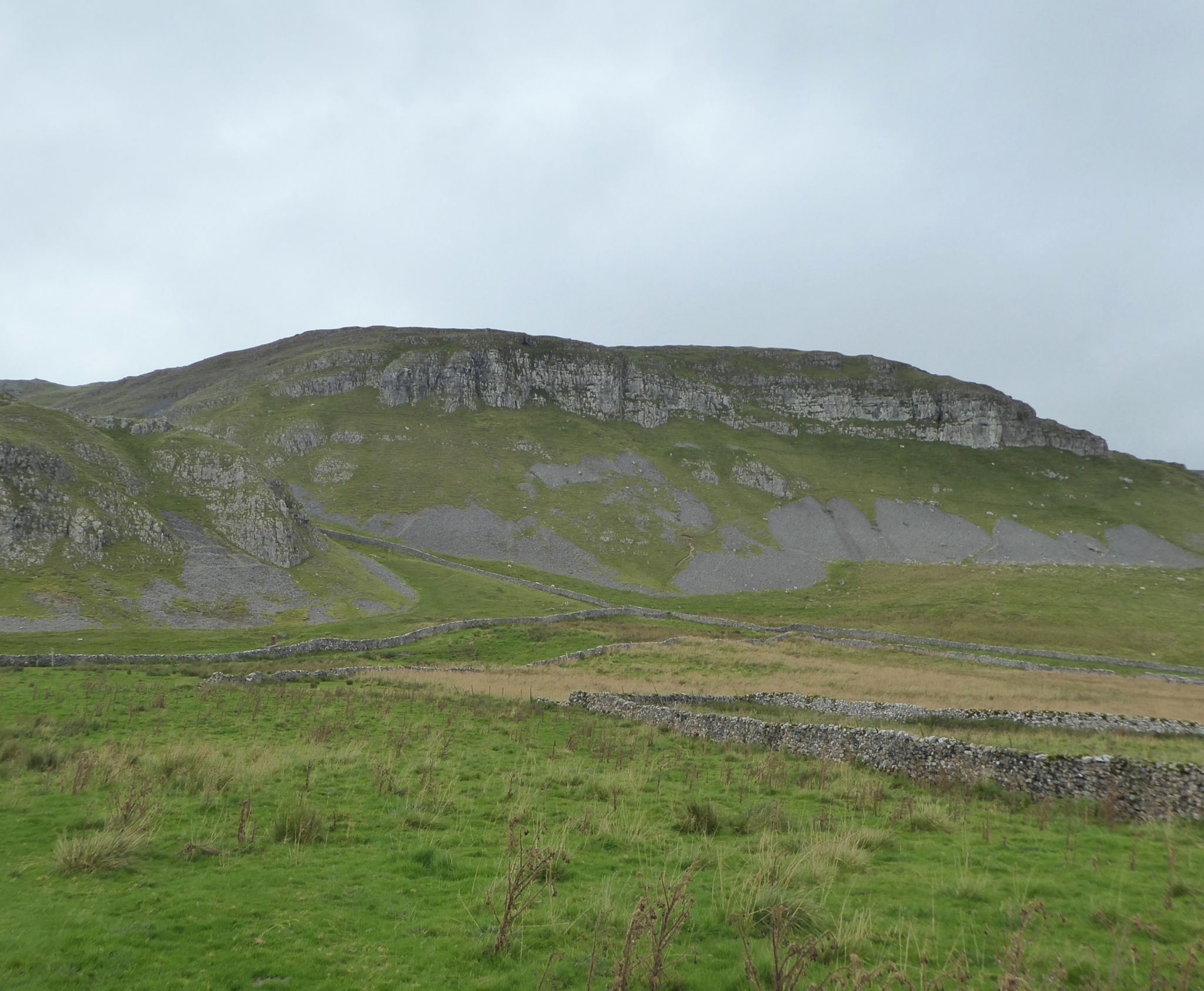
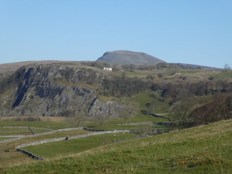
    Passing through a gate we stay on the bridleway as it continues below Blua Crags.  After passing through another gate we enjoy a stunning view of Langcliffe Quarry with Pen-y-ghent behind it.

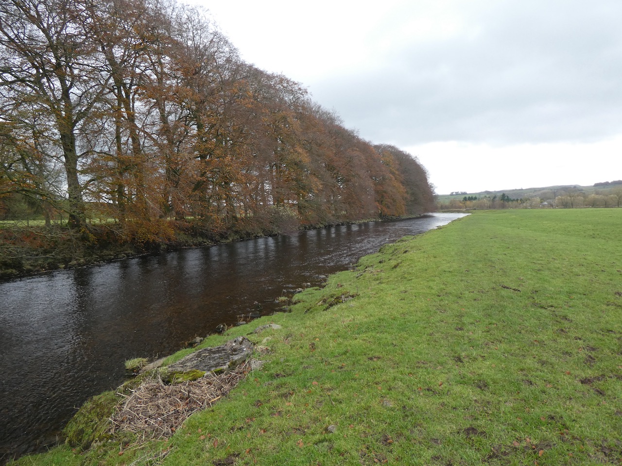
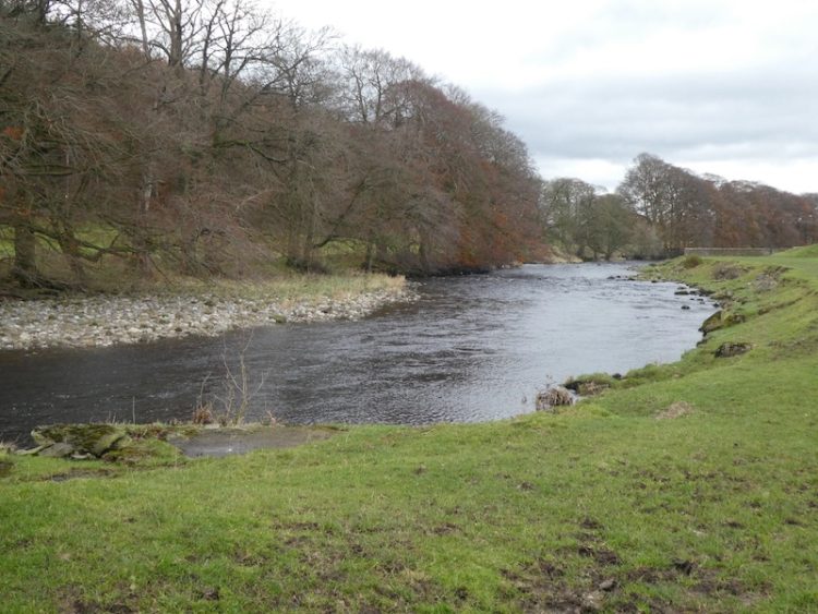
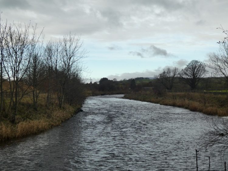
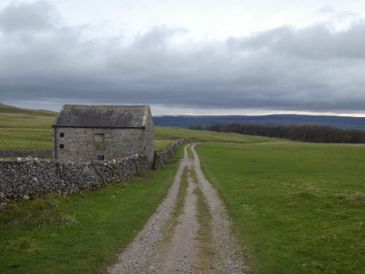
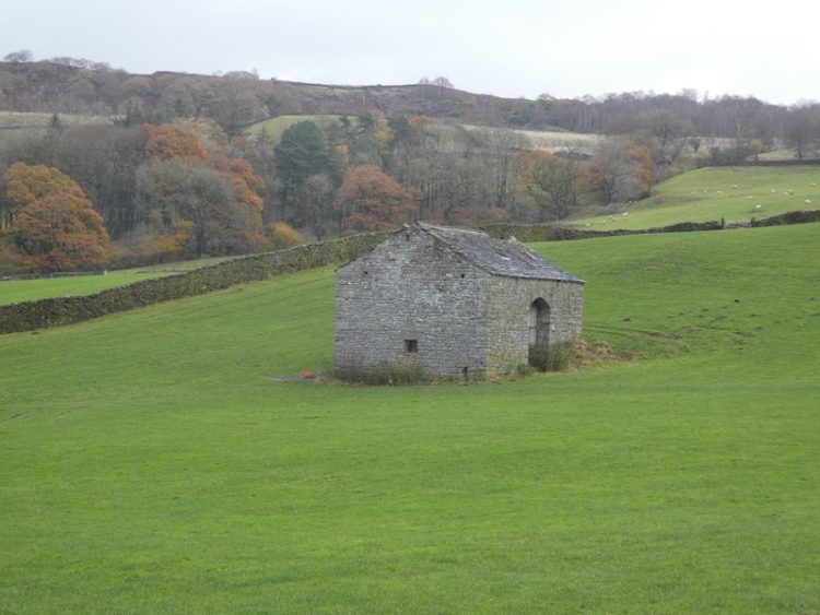
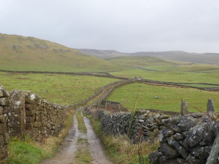
    As the main path veers uphill to the right we take a path heading downhill to go through a gate and then continue to descend into Langcliffe. We enter the village besides the old school, which is now being converted into a private dwelling, and turn right to take a path heading north.  From the village we join a drystone walled track towards Langcliffe Quarry.

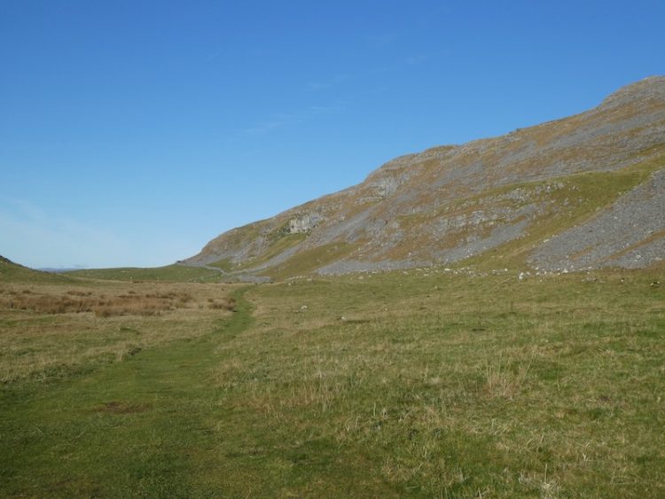
    We ignore footpaths to our left and stay on the track with the disused quarry becoming evermore prominent in front of us. At a gate we enter a field of pasture and follow the path as it runs close to the wall and then starts to climb besides the quarry. 

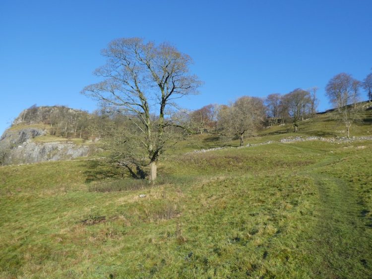
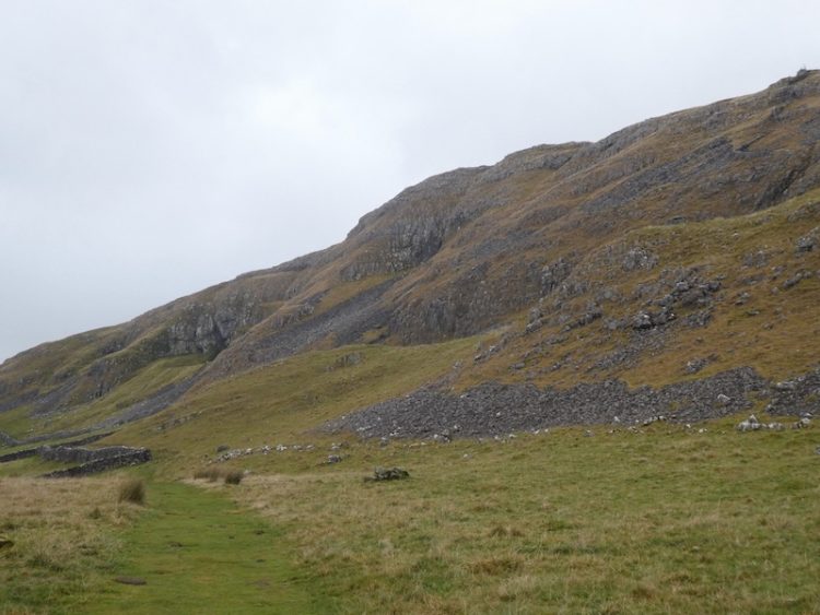
    It is a short steep ascent to reach pasture land.  When we have visited here in the Spring it is an abundance of wild flowers.

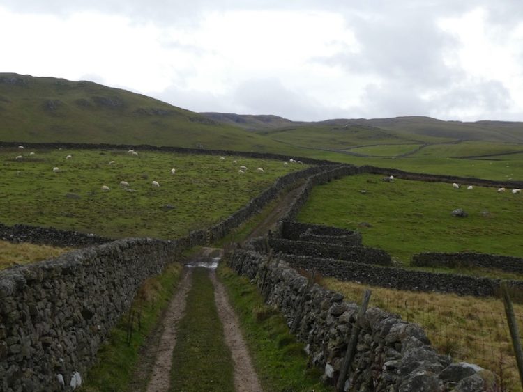
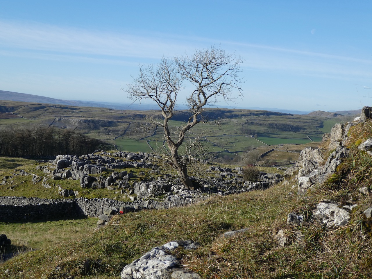
    After going through a wall gate we turn right on the track and head up to Upper Winskill after going through a gate besides a cattle grid we turn right on the farm driveway and follow this back towards a minor road. 

    We join the road and turn right, soon passing a cattle grid and within a hundred yards take a grassy track on the left leading across access land to a gate in the wall. 

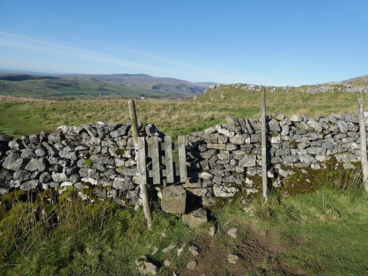
    After crossing the wall we continue to a junction of paths where we turn left and head up to a ladder stile.  On the far side we join a track close to Jubilee Cave and turn right.

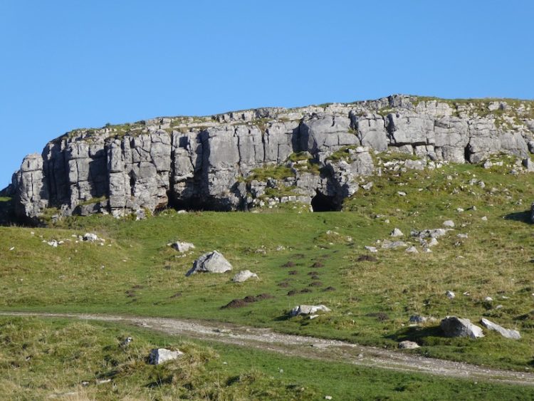
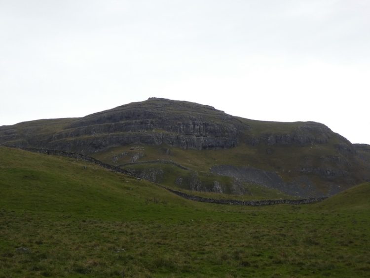
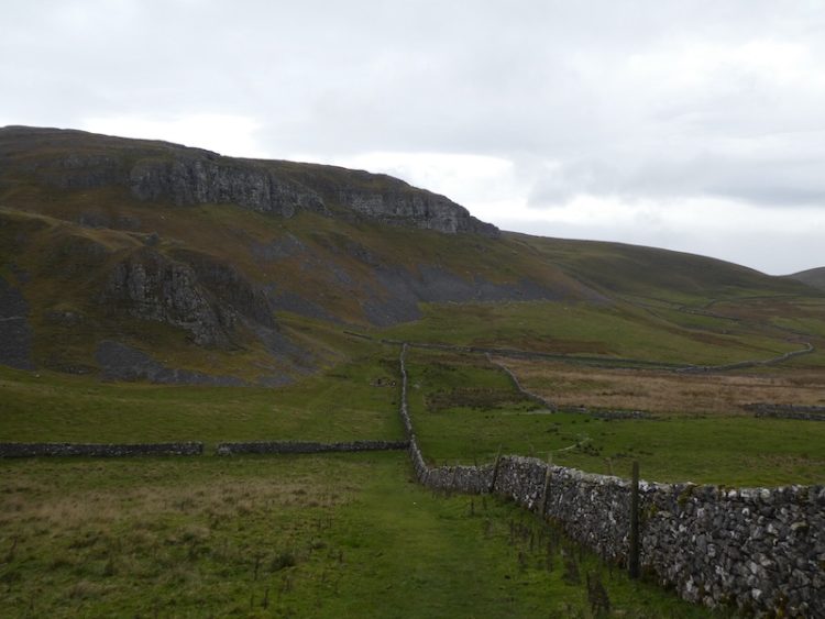
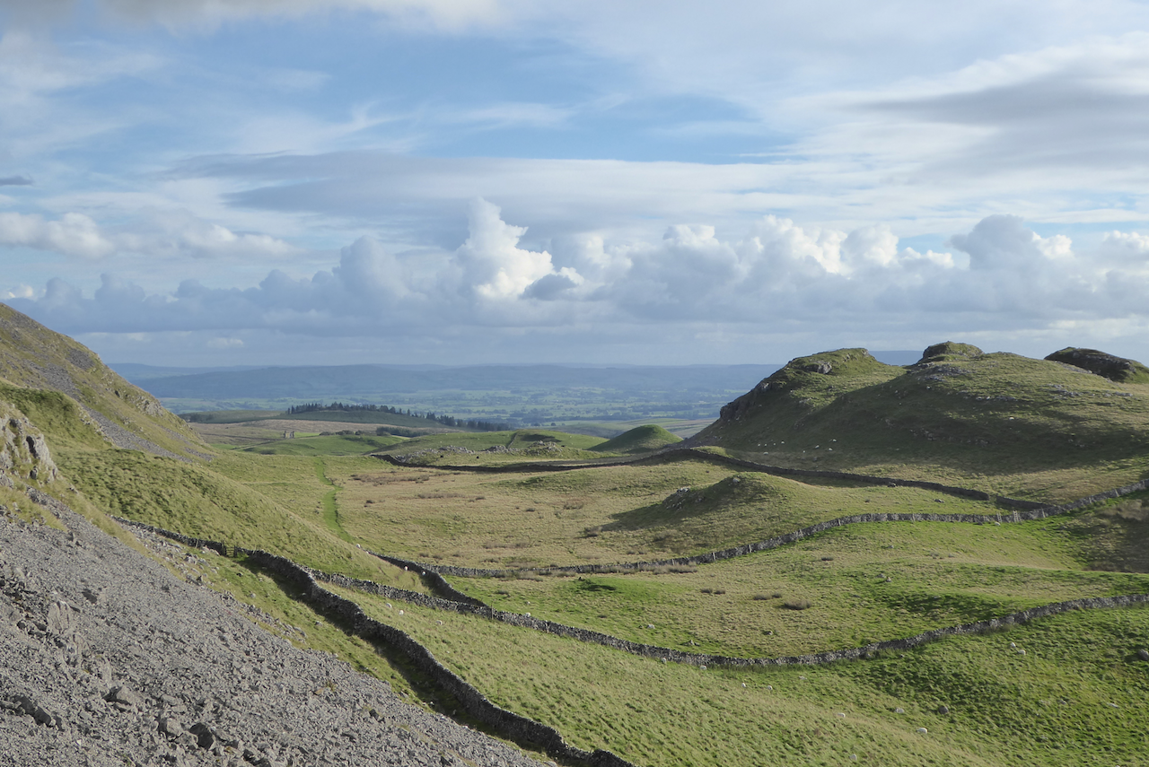
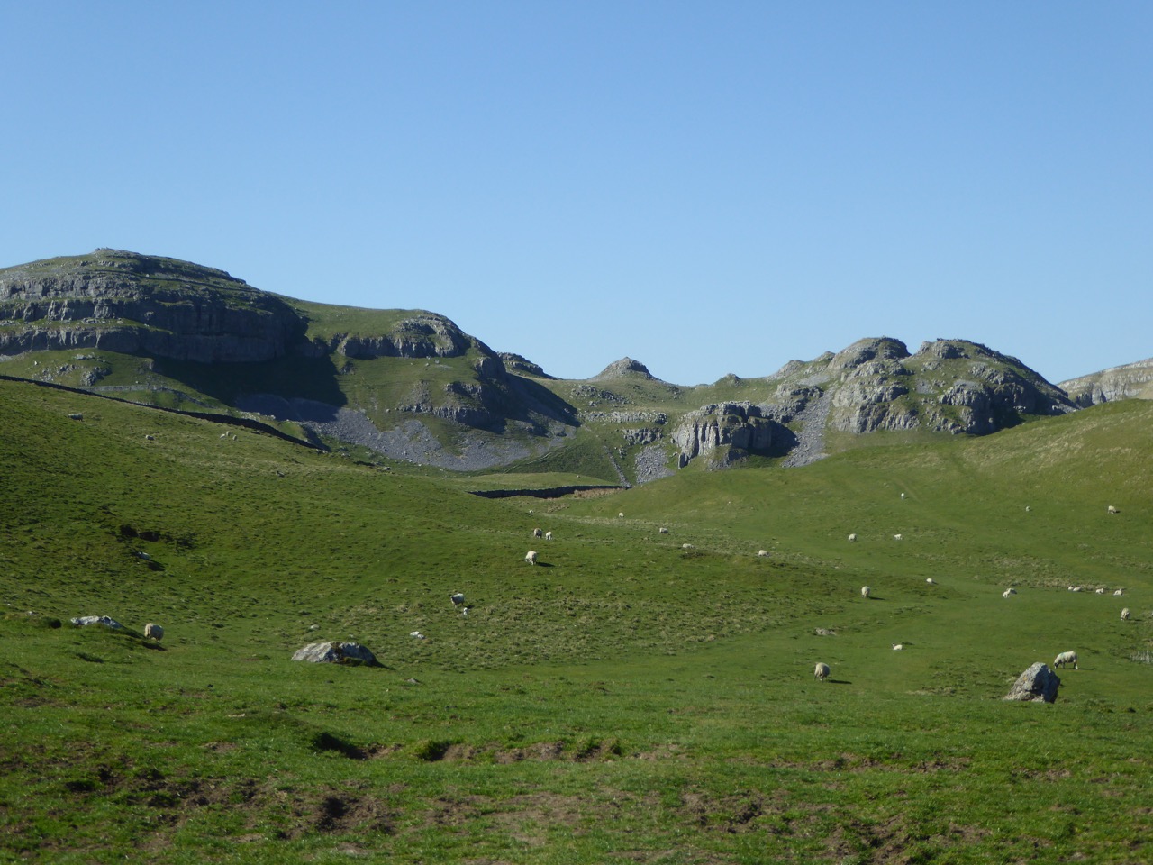
    As we near a farm gate we fork left to go through a kissing gate and follow the path besides a drystone wall.  To our left is Brent Scar and we soon pass Victoria Cave and continue along to another kissing gate. The path now goes below Attermire Scar towards a gate in the wall.

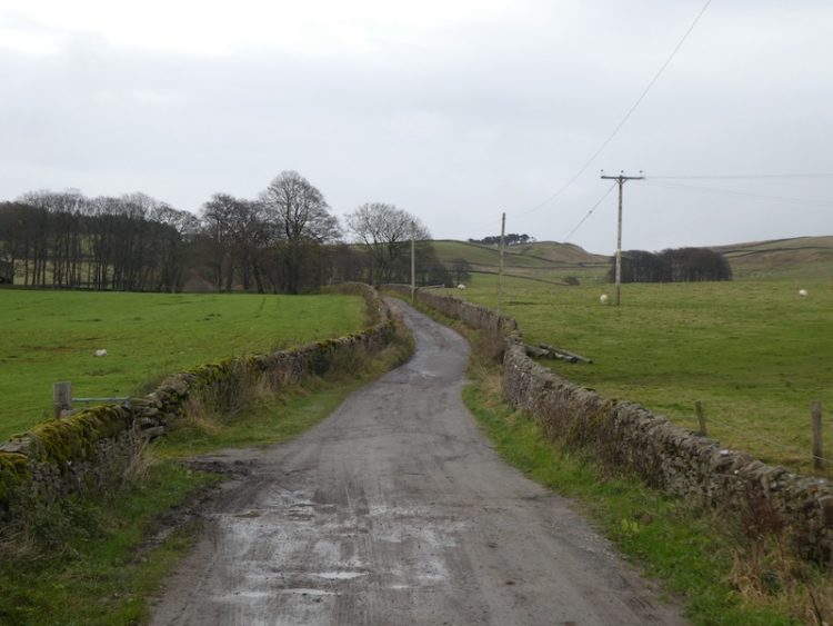
    After going through the gate we descend and cross a couple of ladder stiles and then head south to walk besides Sugar Loaf hill.  The path descends to reach a ladder stile.  After crossing we join a track, Stockdale Lane and head down to a minor road, High Hill Lane.  We turn right along the road and after a few hundred yards take a track on the left, Lambert Lane. 

    I have walked this lane a lot during this stay, but this is the first time in this direction.

    At the end of the lane we join Mitchell Lane and follow this as it heads steeply downhill towards Settle.  Our walk has covered just over eight miles; it has been a cracking afternoon to be outside.  Now it is time to start the preparations for our journey back home tomorrow.

    To follow my walk you will need Ordnance Survey Explorer Map OL2 – Yorkshire Dales [Western Area]

    You can view this 8 mile walk on OS Maps and download the GPX File Here (Subscription to OS Maps Required)

    18th November 2019

    © Two Dogs and an Awning (2019)

  • Along the Ribble Way to Attermire Scar

    Along the Ribble Way to Attermire Scar

    Today’s walk is a variation of the walk I did a few days ago when I visited Attermire Scar and Victoria Cave.  This route takes in an attractive section of the Ribble Way before heading up to Victoria Cave.

    I leave Brigholme Farm and turn right and within a couple of hundred yards take the footpath on the right joining the Ribble Way as it crosses a field to head towards the River Ribble. The route follows close to the river, passing behind barns on Brigholme Farm to enter another field. 

    The route follows close to the river, passing behind barns on Brigholme Farm to enter another field

    The path hugs the river as it goes through a gate into a spinney and then turns to run parallel to the A65.

    Approaching a road bridge over the river I turn right over a ladder stile to climb the embankment and then cross the river on the pavement besides the A65. On the far side of the bridge I take a footpath on the left leading down the embankment and once again joining the river.  I turn right and follow a farm track as it sweeps away from the river heading towards Runley Mill.

    river heading towards Runley Mill

    On reaching the B6480 I cross and continue on the track opposite, Lodge Road.

    Lodge Road.

    The track climbs steadily to reach Lodge Farm and after going through a gate I turn left and at a fork in the track take the right option. 

    Lodge Farm

    I go through a gate and walk along the track by a plantation and then at a second gate follow the walled track.  At another gate I keep straight ahead keeping Black’s Plantation to my right. At the junction of Mitchell Lane and Lambert’s Lane I fork right into Lambert’s Lane and follow this walled track, enjoying the views.  

    Black’s Plantation

    Reaching a road I take a right turn and then shortly a left onto Stockdale Lane.  In a few hundred yards at the bend I go over a ladder stile to follow the path as it gradually climbs up alongside the wall.   

    Attermire Scar

    I head over Sugar Loaf Hill; now in front of me are wonderful views of the spectacular escarpment of Warrendale Knotts and Attermire Scar. 

    Warrendale Knotts and Attermire Scar

    My route continues under Attermire Scar, with views back to Pendle Hill.

    Attermire Scar, with views back to Pendle Hill

    After passing Victoria Cave I go through a kissing gate I turn left and go through a gate on a farm track to descend downhill to another gate. 

    I then take the path on the left way-marked the Pennine Bridleway.  Now it is case of following the path across a couple of fields below Blua Crags before descending on a walled track to return to Settle and then back to Brigholme Farm.  It has been another cracking walk covering just over seven and a half miles. 

    To follow my walk you will need Ordnance Survey Explorer Map OL2 – Yorkshire Dales [Western Area]

    You can view this 13 mile walk on OS Maps and download the GPX File Here (Subscription to OS Maps Required)

    14th November 2019

    © Two Dogs and an Awning (2019)

  • Revisiting Attermire Scar

    Revisiting Attermire Scar

    I am near to hitting my target of walking 2,019 miles in 2019.  This is the second year that I have “walked the year”; last year I reached 2,018 miles on the Quantock Hills a favourite spot for me.  This year I plan to complete my quest whilst walking in the Yorkshire Dales and hopefully somewhere near the summit of Ingleborough.  

    After a near 300-mile journey yesterday we arrived at Brigholme Farm CL in the dark.  It is the measure of our confidence in caravanning that we no longer worry about pitching up in the dark, levelling the van and erecting an awning by the light of a head torch.  Soon we were snug inside the van.

    After yesterday’s driving I am reluctant to go far in the car, so soon after breakfast I am heading off with Crosby for a walk from Brigholme Farm CL.  Leaving the site I turn right along Station road and then after crossing the Penny Bridge I take a right turn into Cammock Lane. At a crossroads I go straight across into Ingfield Lane and stay on this lane as it forks right, then within a few hundred years I turn right along Brockhole Lane, which understandably is known locally as Watery Lane.

    I follow this dry stone walled lane until the end, ignoring footpaths on the left and the right.  At the end of Brockhole Lane I turn left onto Lodge Road, despite its name this “road” is actually a track that heads uphill towards Lodge Farm. 

    At the top of the lane I reach Lodge Farm and after going through a gate I turn left and at a fork in the track take the right option. 

    I go through a gate and walk along the track by a plantation and then at a second gate follow the walled track.  At another gate I keep straight ahead keeping Black’s Plantation on our right.

    At the junction of Mitchell Lane and Lambert Lane I fork right into Lambert Lane and follow this walled track, enjoying the views.  

    Reaching a road it is a right turn and then shortly a left onto Stockdale Lane.  In a few hundred yards at the bend I go over a ladder stile to follow the path as it gradually climbs up alongside the wall.   

    I head over Sugar Loaf Hill; now in front of us is one of my favourite views in the Dales, the spectacular escarpment of Warrendale Knotts and Attermire Scar. 

    From here my route is under Attermire Scar, passing Victoria Cave.

    After going through a kissing gate I turn left and go through a gate on a farm track to descend downhill through another gate.  I then take the path on the left way-marked the Pennine Bridleway. 

    Now it is case of following the path across a couple of fields below Blua Crags before descending on a walled track to return to Settle and then back to Brigholme Farm.  It has been a cracking wander covering just over seven miles. 

    To follow my walk you will need Ordnance Survey Explorer Map OL2 – Yorkshire Dales Southern & Western

    You can view this 7 mile walk on OS Maps and download the GPX File Here (Subscription to OS Maps Required)

    11th November 2019

    © Two Dogs and an Awning (2019)

  • A Seven Mile Circuit from Brigholme Farm CL

    A Seven Mile Circuit from Brigholme Farm CL

    We are nearing the end of our stay at Brigholme Farm CL, every year when I plan our travels Lynnie says she doesn’t want to spend too long in Settle.  “A week will do” is her normal comment.  I always book for a bit longer and on a few occasions we have extended our stay after arriving.  This stay will have been for eleven nights; I could easily stay another eleven but tomorrow we need to be moving south.
    (more…)

  • A Wander to Warrendale Knotts

    A Wander to Warrendale Knotts

    Over the years I have done numerous walks around Settle, but I have never visited the trig point on Warrendale Knotts.  For years trig points have featured in our walks, but until recently it has been a case of finding one on our route, as opposed to going on a walk with the specific aim of “bagging” a trig.

    (more…)
  • Jamming About From Settle

    Jamming About From Settle

    It is with much disappointment that we are nearing the end of our stay at Brigholme Farm. We were originally due to depart today, but with a looming work deadline we have stayed an additional day so I can spend another morning toiling over a hot keyboard.
    (more…)

  • When the Rain Came

    When the Rain Came

    It is no secret that one of our favourite locations is the Yorkshire Dales.  I have been visiting the area since a child and it is one of the first places I took Lynnie when we first met.  One of our regular stops in the area is Brigholme Farm CL and it felt a bit like coming home when we arrived after six hours travel yesterday.
    (more…)

  • Settle to Victoria Cave

    Settle to Victoria Cave

    Anyone who has followed this blog for a while will know that we have an affection for the Yorkshire Dales. It is a place that we have visited frequently over the years and its undoubtedly my favourite place in the Country.

    There are other locations where you get stunning views and good walking. There are also places where you can be assured of a friendly greeting from a total stranger whilst walking down the street, and other spots where the beer is good. But in our travelling experience the one place where you can always guarantee all of these is Settle.
    (more…)