Tag: Silver Plough

  • A Three Mile Circuit from the Silver Plough

    A Three Mile Circuit from the Silver Plough

    Today I am heading out for a circular walk I have followed for most of my life.  By my early teens I had developed a passion for being out in the countryside and used to take myself off on this route most weeks.  People ask if I get bored walking the same paths, year after year.  How can you be bored with the ever-changing scenery and seasons?  There is always something new to observe.

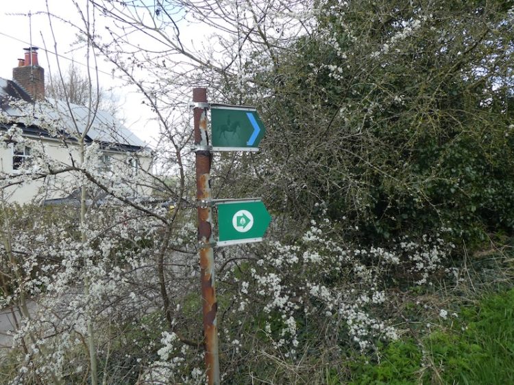
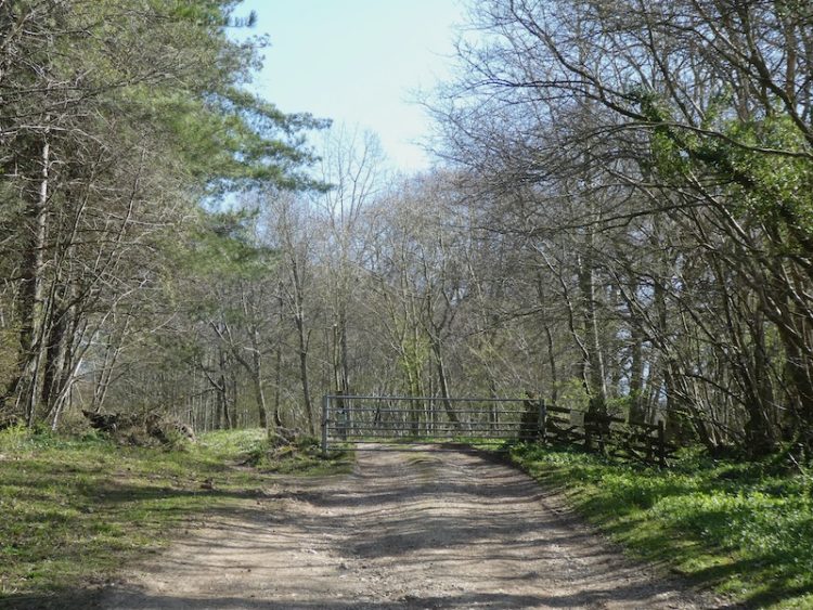
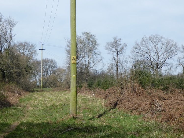
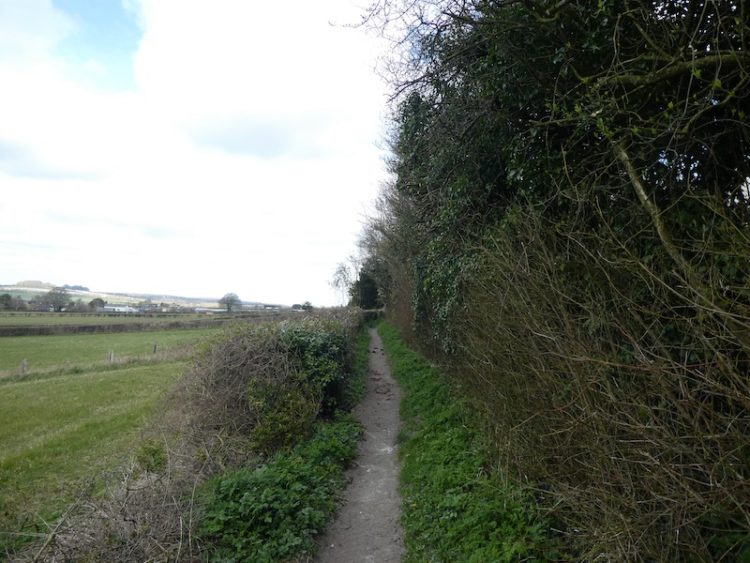
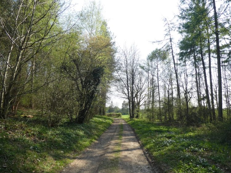
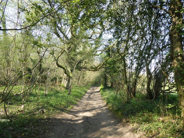
    I start my walk from the Silver Plough in Pitton by turning left out of the car park and left again along The Green, the lane running alongside the Silver Plough pub.  I take the second footpath on the right to head uphill and leave Pitton.  After going through a kissing gate at the top of the hill I continue past paddocks and through two more gates to follow the footpath into Church Copse.

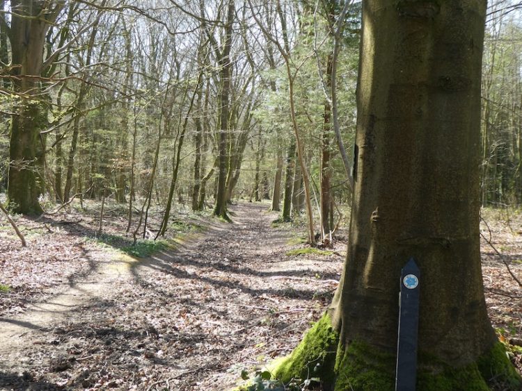
    When the footpath joins a forestry track I turn right and follow it to a six-way junction of footpaths. 

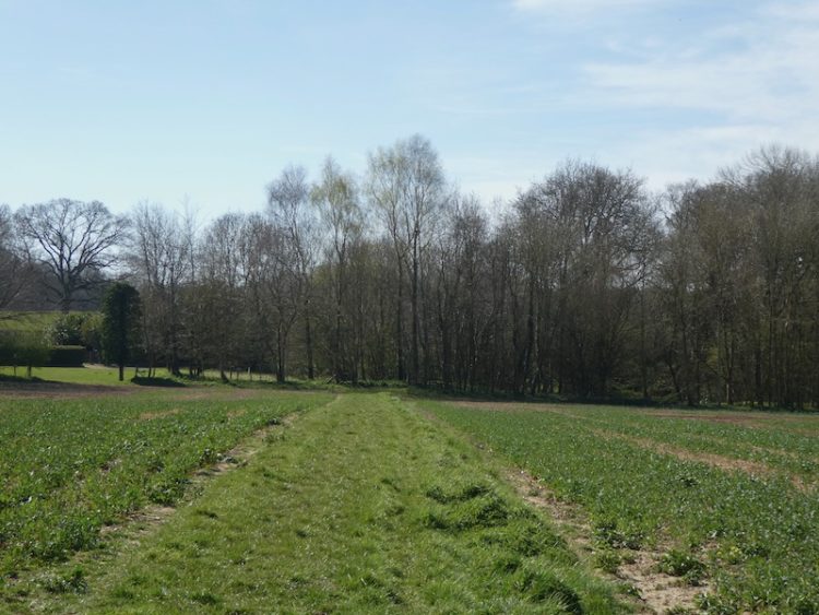
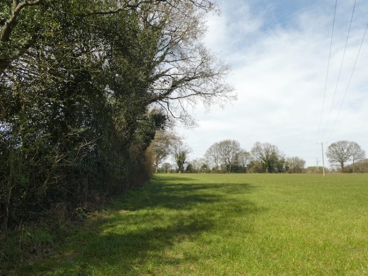
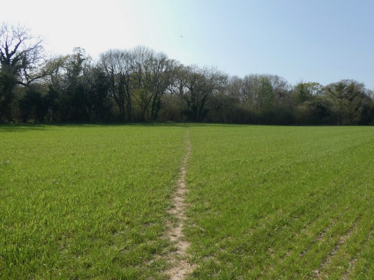
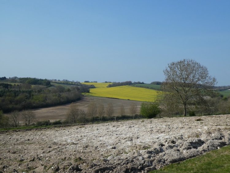
    Here I take a footpath on the right that heads diagonally across an arable field.

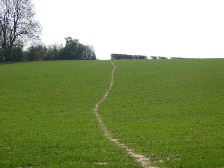
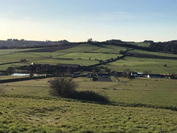
    At the hedge line I enter another arable field and continue diagonally across it towards a farmyard.

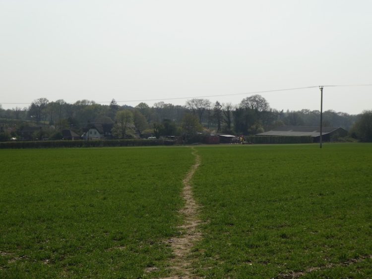
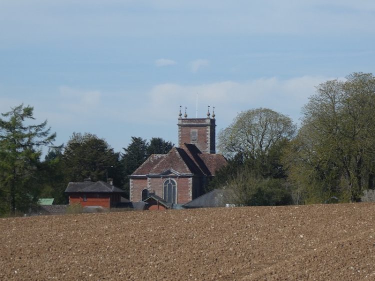
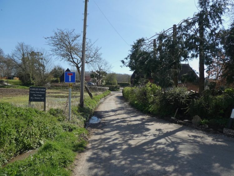
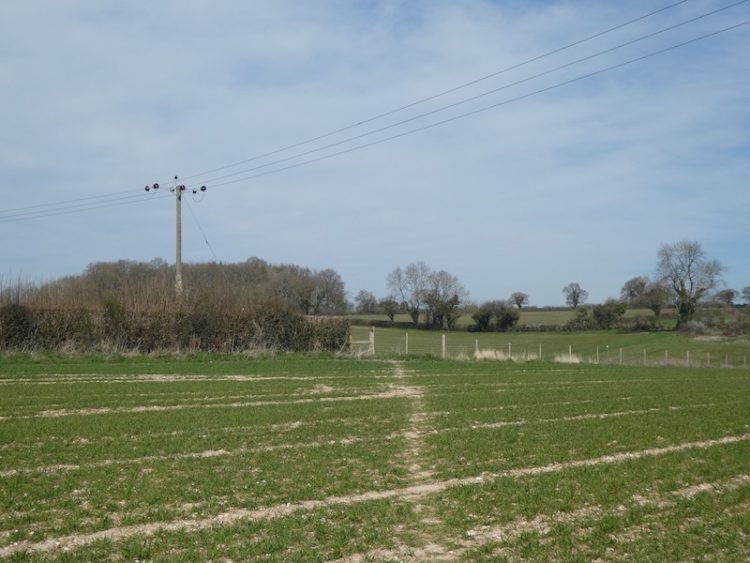
    The path goes through the farmyard and leaves by a gate close to a feed silo.

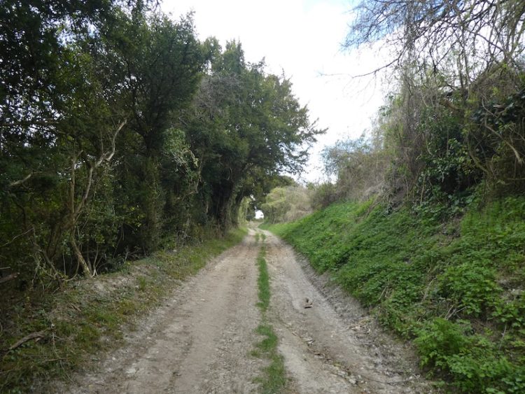
    I take care on joining a road and turn right and walk fifty yards and then take a track on the left.  

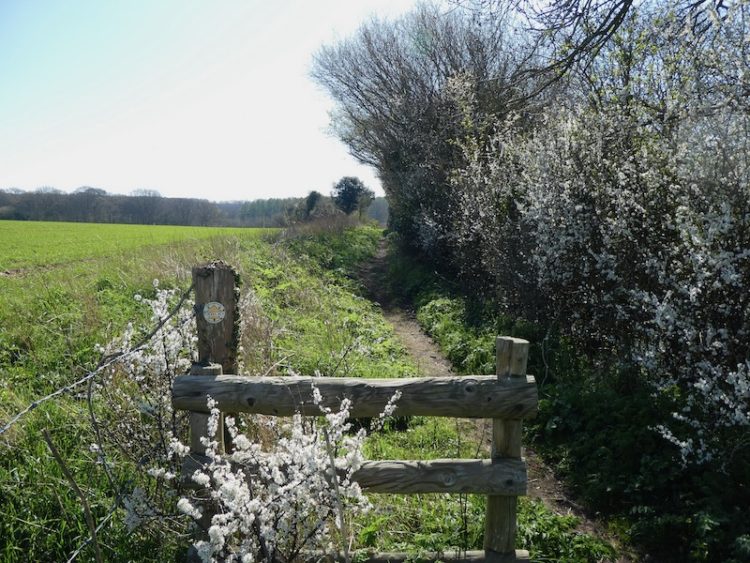
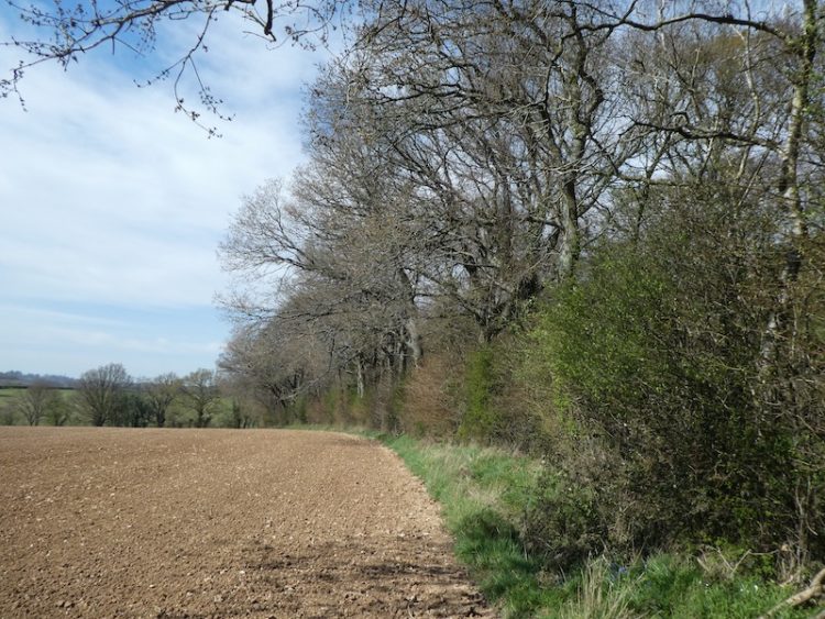
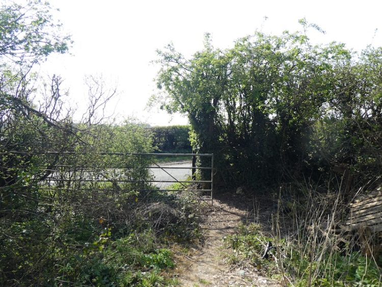
    At the end of the track the path crosses an arable field.

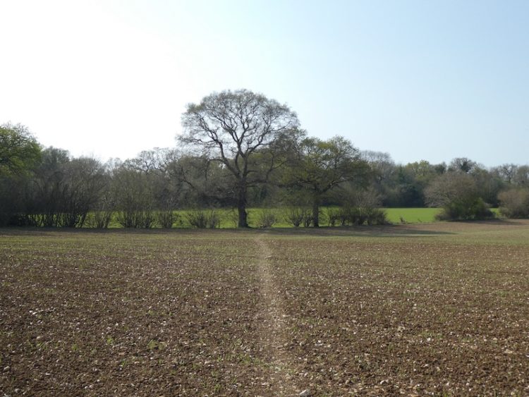
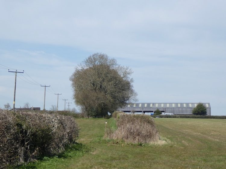
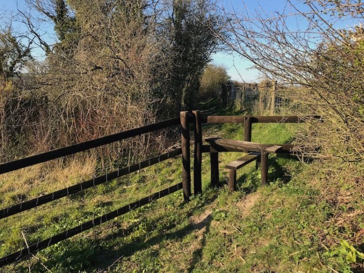
    There used to be a stile besides the oak tree but the farmer removed it to make access to the footpath easier.  I continue across another arable field to reach a junction of paths on a track.

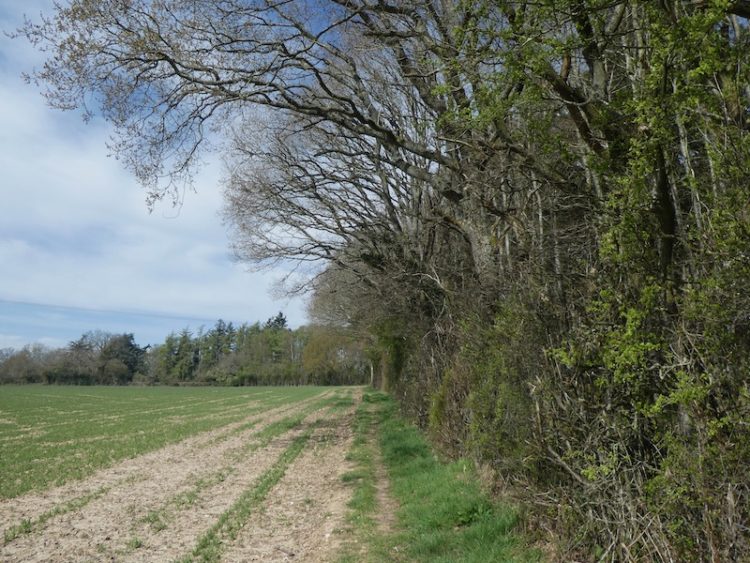
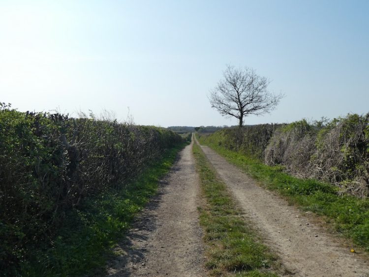
    Turning right I follow the track, Cock Road.  It derives its name from the location where, in the distant past, traps were set to catch Woodcock.  Thankfully this has long since stopped, but it is rare to see a Woodcock around here these days.

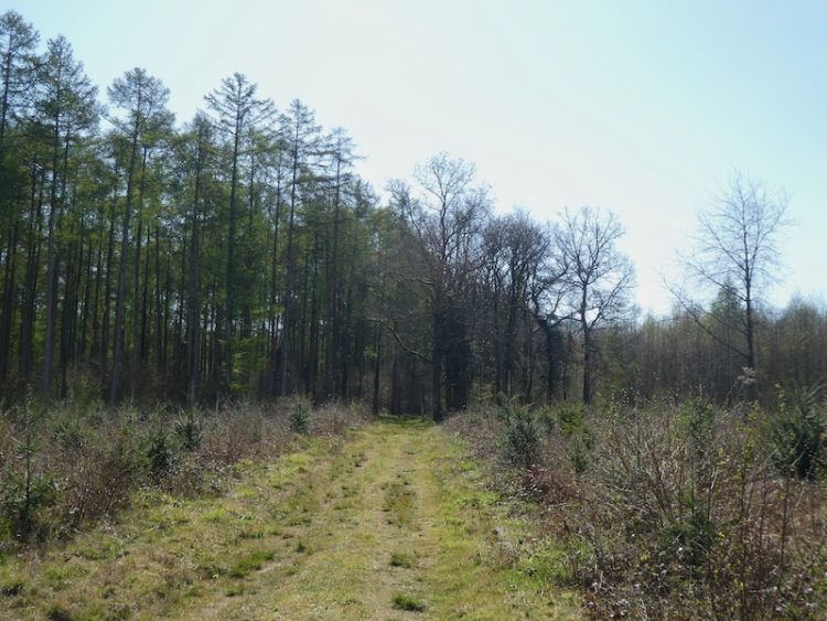
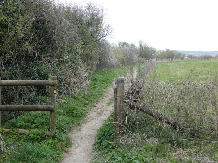
    I stay with the track for just short of half a mile to reach a junction of tracks.  Here I leave the track and take the tree lined footpath opposite.

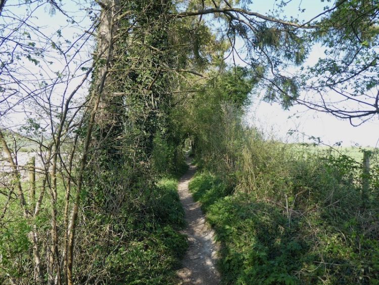
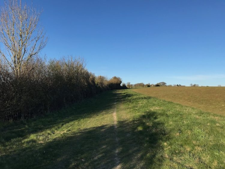
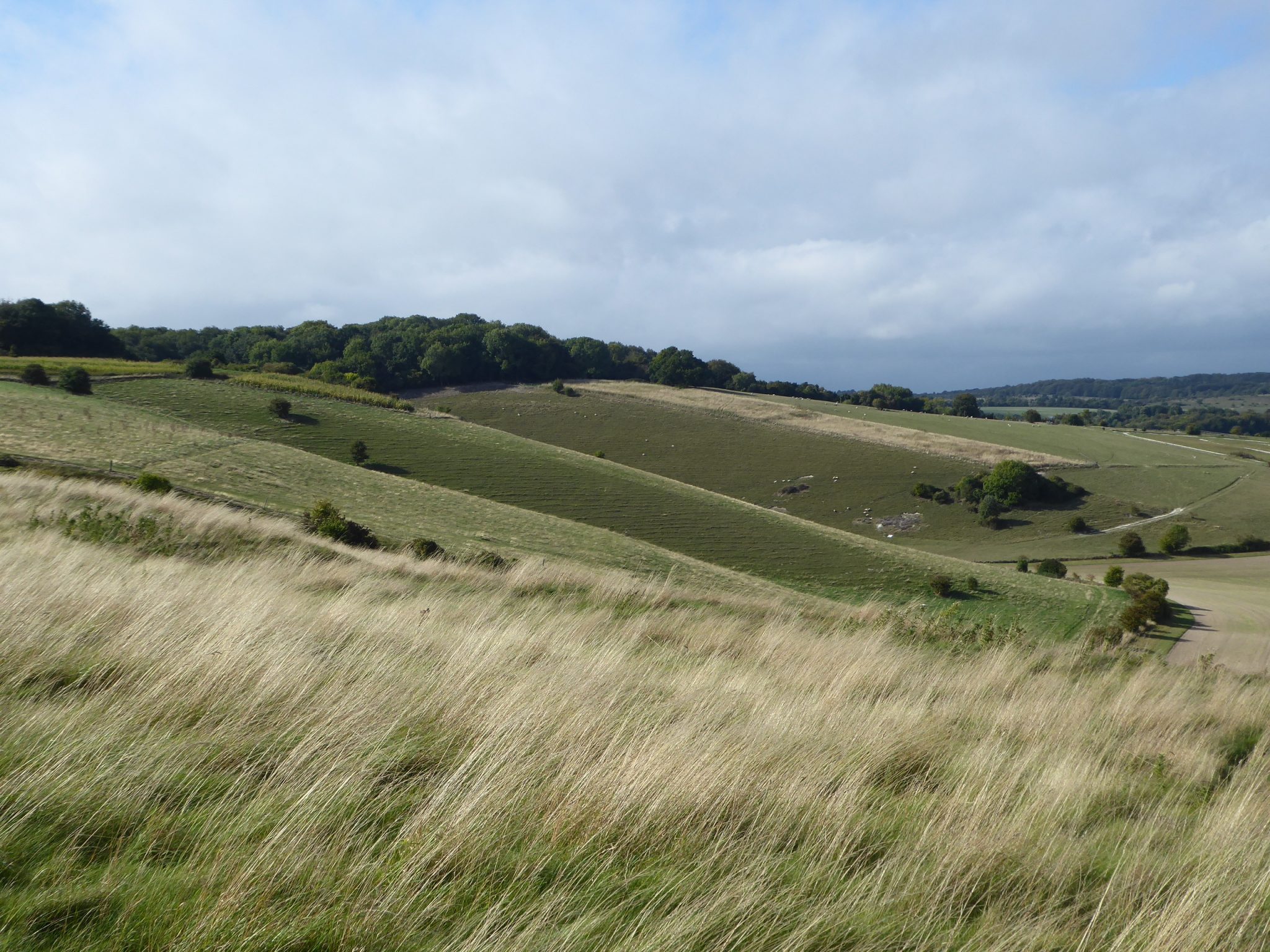
    This fence-lined path continues past memorial benches with fine views.  In the past this area was known as Strawberry Hill due to the prevalence of wild strawberries.  A local resident now in his late eighties told me how as a youngster he and other village children would come up here for a feast.

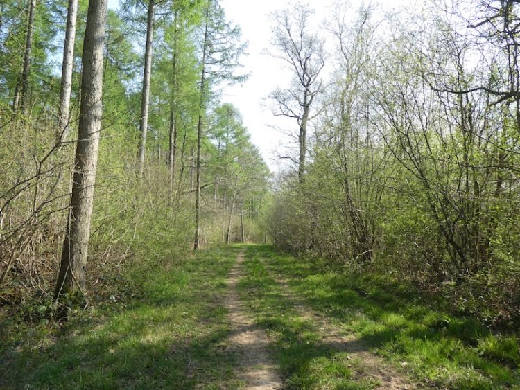
    The path now descends through woodland passing behind a cottage before continuing on to join a track.  From here it is a short walk through the village hall car park to return to the starting point at the Silver Plough.

    You can view this 3 mile walk on OS Maps and download the GPX File Here

    To follow our walk you will need Ordnance Survey Outdoor Explorer Map 131 – Romsey, Andover & Test Valley.

    Additional Information

    For more information on this walk including car parking, amenities, refreshments and detailed walking directions visit my associated Walking Moonraker website.

    10th April 2020

    © Two Dogs and an Awning (2020)

    All information on this site is provided free of charge and in good faith and no liability is accepted in respect of damage, loss or injury which might result from it.  To the best of my knowledge the routes are entirely on public rights of way or within areas that are open for public access.
    Walking can be hazardous and is done entirely at your own risk.  It is your responsibility to check your route and navigate using a map and compass.

  • Around the Downs into Church Copse

    Around the Downs into Church Copse

    I am out walking a familiar route again today.  One of the consequences of the lockdown and not being able to get away in the caravan is frequently walking the same routes.  However, I am fortunate to have such a network of paths on my doorstep enabling me to get a reasonable variation.

    Starting from the Silver Plough I turn left and then immediately left along The Green.  I ignore the footpaths to the right and left and stay on the lane until reaching a bridleway opposite Glebe House.

    At the end of the bridleway I turn right to walk up the track, Winterslow Hollow.  I ignore a footpath on the left and then within 10 yards turn left to join the permissive path running along the edge of the fence line. 

    I stay with the path as it heads towards farm buildings.

    After passing the farm house and barn I turn right to follow a track until it passes a drove on the right and then as the track bends towards Winterslow Coachworks garage I continue straight on along a footpath towards a metal gate.

    After passing besides the gate I turn right walking uphill.  These downs are quiet today the only sound being that of the skylarks and it is a very tranquil location.  However, during World War II they were the location of a permanent Starfish site.   This was the name given to dummy airfields set up to confuse German bombers.

    This site was built to deflect the Luftwaffe from Boscombe Down.  On the drove between Pitton and Winterslow is situated the control bunker.  From there they  set off fires so that during an air raid enemy planes would think a bomb had landed on the site in the hope that others would aim for the same target.

    Whilst walking through Winterslow a year ago I bumped into a chap who was about ninety, he lived in the village until joining up for National Service and as a child used to visit the bunker to chat to the servicemen located there.

    It was not until recently that I discovered there was a similar decoy airfield nearby on the Clarendon Estate on the downs close to Fussells Lodge Farm.  That site was used as a decoy for Old Sarum airfield.

    After passing a pit on the left, which I have always understood to be one of the many bomb craters in this area, I start to head downhill on a grassy track and then take a footpath on the left heading across a field towards the edge of Houndwood.

    After going through a gap in the hedge the path continues with woodland to the left and an arable field to the right.  

    As the tree line bends to the left I take a footpath on the right that heads diagonally down across the field to go through the hedge line and then turns left to follow the edge of a field.

    This path enters Church copse by a metal gate and continues south on the broad track through the woodland.

    After passing a clearing with an old railway carriage I stay with the track for just over 200 yards to reach a footpath on the right with a way marker towards Pitton.

    From here I head up through Church Copse then keep on the footpath as it runs besides fields.

    After passing through a kissing gate I cross a track and go through another gate to walk besides paddocks to reach another kissing gate with fine views.

    Then it is down the steps to reach a tarmac lane, where I turn left and head back along the lane to my starting point.  It has been a pleasant afternoon for this four mile route and I have only seen two other people all the way around.

    You can view this 4 mile walk on OS Maps and download the GPX File Here

    To follow our walk you will need Ordnance Survey Outdoor Explorer Map 131 – Romsey, Andover & Test Valley.

    Additional Information

    For more information on this walk including car parking, amenities, refreshments and detailed walking directions visit my associated Walking Moonraker website.

    © Two Dogs and an Awning (2020)

    All information on this site is provided free of charge and in good faith and no liability is accepted in respect of damage, loss or injury which might result from it.  To the best of my knowledge the routes are entirely on public rights of way or within areas that are open for public access.
    Walking can be hazardous and is done entirely at your own risk.  It is your responsibility to check your route and navigate using a map and compass.

  • Walking to Farley Farm

    Walking to Farley Farm

    I am out on my own again for my daily exercise. Crosby is making good progress after his surgery, but is still restricted to short walks.  My route today is a familiar one, it is a walk I do most weeks when we are at home, but always find it interesting as a section follows the south side of Houndwood and it is always a good insight into the changing seasons.  

    Today’s trip has a special purpose because I am dropping off a couple of bottles of Proper Job Ale to one of my walking buddies who lives in Farley.  With the current social distancing I have arranged to leave them by his gate.  I am a big fan of Billy Bragg and delivering beer to mates in this troubled time makes me feel a bit like the “Milkman of Human Kindness.”

    I start the walk from the Silver Plough car park and turn left and then immediately left along The Green.  After 100 metres I ignore a footpath on the right and continue along the lane for a further 160 metres to reach a second footpath on the right and turn here to head uphill leaving Pitton heading towards Farley.

    After going through a kissing gate at the top of the hill I continue past paddocks and through two more gates to follow the footpath past a plantation.  The path soon narrows and becomes hedge-lined.

    This path leads into a new plantation in Church Copse.  Over the last couple of years I have watched the growth of these trees with interest.  I am a friend of “Chunky” the woodman who planted these trees, whilst he was doing so we chatted one afternoon and came to the conclusion that neither of us would be around to see them grow to maturity.  

    When the footpath joins a forestry track I turn right and follow it for 250 metres to a six-way junction of footpaths.  Here I take the forestry track on the left passing besides a metal gate.  

    I continue along this broad trail for 850 metres until reaching a footpath on the right.  

    I follow this path south through Houndwood to reach the edge of a field. The path goes around the edge of the field to reach a wide gap in the hedge line where I continue on the grass path between fields.  

    At a junction of footpaths turn right besides a disused pit and enter a field, after 30 metres turn left and follow a footpath diagonally across a field, to the right is a fine view of All Saints Church.

    The church was built in 1688 and funded by Sir Stephen Fox, he was born in Farley and assisted King Charles II to escape after the battle of Worcester.  For his loyalty to the King he was, after the restoration, appointed Paymaster to the Forces.  He was a friend of Sir Christopher Wren and All Saints church is said to be a Wren design, however there is also suggestion that the design was by Alexander Fort, a student of Wren’s.  It is known that Fort designed the Almshouses opposite the church, which were also funded by Sir Stephen.

    On reaching Church Road I turn left and follow the road for 100 metres, as the road bends the route continues straight on along a driveway to Farley Farm.

    Staying on this tarmac driveway I pass Farley Farmhouse and then the chicken sheds.  At the far end of the last chicken shed I turn left on a farm track for 50 metres then take a footpath on the left.  This footpath goes along the edge of an arable field.  Under the trees to my right Bluebells have already started to emerge.

    I cross a junction of paths and continue in a westerly direction along the edge of further arable fields.  

    On reaching a gap at the corner of the field I go through the hedge line to return to the junction of six paths.  Now I take the footpath opposite that runs along the edge of the field besides Church Copse.  

    After 450 metres the way-marked path enters the woodland and then emerges into a clearing besides a new plantation.  

    I keep on the path to go through a disused pit and then into an arable field.

    The path reaches a stile I cross and enter another arable field and cross diagonally to another stile.

    I continue along a path with a hedge to the left and on entering another field continue with the hedge now on the right to enter a hedge-lined path to reach stables.

    Turning right I go along the track for 200 metres to reach a crossing of paths where I turn left and go through a gate to take the path back to Pitton and my starting point at the Silver Plough.

    You can view this 5 mile walk on OS Maps and download the GPX File Here

    To follow our walk you will need Ordnance Survey Outdoor Explorer Map  131 – Romsey, Andover & Test Valley.

    Additional Information

    For more information on this walk including car parking, amenities, refreshments and detailed walking directions visit my associated Walking Moonraker website.

    © Two Dogs and Awning (2020)

    All information on this site is provided free of charge and in good faith and no liability is accepted in respect of damage, loss or injury which might result from it.  To the best of my knowledge the routes are entirely on public rights of way or within areas that are open for public access.
    Walking can be hazardous and is done entirely at your own risk.  It is your responsibility to check your route and navigate using a map and compass.

  • A Short Walk on the Downs

    A Short Walk on the Downs

    With both dogs limited to how far they can walk we are out for a short walk on the downs.  Old age is catching up with Dexter, his arthritic joints won’t let him go far and Crosby is still convalescing after emergency surgery to remove part of a rope toy which he swallowed causing an internal blockage.

    Starting from the Silver Plough we turn left and then immediately left along The Green.  We ignore footpaths to the right and left and stay on the lane to a bridleway opposite Glebe House.

    These days this path is single file, but when I was a nipper it was a broad track used a couple of times a day by Steve and Muriel Whitlock as they drove their small herd of Guernsey cattle from their fields on the downs to be milked in their farm yard along the Green.

    In those days the Green and this track were always splattered with cowpats, so mudguards on the rear of a bike were a necessity!  As well as being the route for cattle it was also the footpath leading to the “Cricket Field” where the village cricket and football teams played.  This was where, as youngsters we came to play sport.  

    The recreation area in the Close was also used for football and cricket, however, this had the disadvantage of having to constantly retrieve balls from either Steve and Muriel’s farmyard or Norman White’s field.  Both were amenable and there was no need to ask, in fact stiles were conveniently located to gain access.

    At the end of the bridleway we turn right to walk up the track, Winterslow Hollow.  

    A few weeks ago this chalk track was slippery from all the wet weather, now it is easy going and as the path levels we pass the gates that Steve and Muriel’s used to access their fields.  Below is Pear Tree Farm, the bungalow with outbuildings they moved to when they left their village farmhouse along The Green, now known as Walnut Cottage.

    We pass a footpath on the left and then within 10 yards turn left to join the permissive path running along the edge of the fence line.  The fenced area to the right is enclosed to protect wild orchids.

    The route continues along the edge of the field and we are accompanied by the constant sound of Skylarks.  In these difficult times the sound of bird song helps lift the soul.

    On reaching a way-marked footpath on the left, we turn and cross the stile to enter “Access Land”.  Areas designated on the Ordnance Survey map as access land are open for everyone to use with “freedom to roam”.  However, there are some restrictions, in particular between 1 March and 31 July dogs must be kept on leads of no more than two metres long to protect ground nesting birds.

    Access Land is marked on Ordnance Survey 1:25000 maps as a shaded yellow area with yellow boundary.  On the OS 1:50000 maps they are shown with purple banding.

    From this area there are extensive views across Bottom Way and up towards Piccadilly Clump.

    We follow a well-worn path across the top of the downland to reach a metal gate besides a stile and leave the access land.

    The route is now along a hedge-lined footpath to reach Winterslow Hollow.  Here we turn right and retrace our route back to the village.

    This short walk has covered two miles, which is just enough for both Dexter and Crosby at the moment.

    You can view this 2 mile walk on OS Maps and download the GPX File Here

    To follow our walk you will need Ordnance Survey Outdoor Explorer Map 131 – Romsey, Andover & Test Valley.

    Additional Information

    For more information on this walk including car parking, amenities, refreshments and detailed walking directions visit my associated Walking Moonraker website.

    © Two Dogs and an Awning (2020)              

    All information on this site is provided free of charge and in good faith and no liability is accepted in respect of damage, loss or injury which might result from it.  To the best of my knowledge the routes are entirely on public rights of way or within areas that are open for public access.
    Walking can be hazardous and is done entirely at your own risk.  It is your responsibility to check your route and navigate using a map and compass.

  • Guided Walk – 16th May 2019

    Guided Walk – 16th May 2019

    On Thursday 16th May 2019 I am leading another in my series of guided walks from the Wiltshire Village of Pitton.

    Time: Meet at the Silver Plough  car park at 15.15start.

    Walk description:

    This circular walk is just under seven miles and follows footpaths from Pitton to Farley and on to East Grimstead to reach Bentley Wood, returning via Houndwood.

    The Silver Plough will be open for refreshments when we return.

    Is this walk suitable for me?

    • The walk will cover approximately seven miles.
    • There are a couple of stiles to climb.
    • There are no steep ascents.
    • There is a short steep descent back into Pitton.
    • The route is mainly on footpaths and tracks, with two short road sections in Farley and at The Livery.

    How long will it take?

    • Walking as a group means we walk at a pace suitable for all.You should allow between 2.5 and 3 hours for the walk.

    Are dogs allowed?

    • Yes well-behaved dogs are allowed. But must be kept on a lead through woodland to protect ground nesting birds.

    How much will it cost?

    There is no charge to join the walk.  But donations to my Walk 2,019 Miles Challenge in support of The Trussell Trust would be appreciated: https://www.justgiving.com/fundraising/two-dogs-and-an-awning

    How do I join the walk?

    Please let me know you are coming so I know how many to expect on the day.

    Contact Details: twodogsandanawning@gmail.com

    © Two Dogs and an Awning (2019)

  • Guided Walk – 11th April 2019

    Guided Walk – 11th April 2019

    On Thursday 11th April I am leading another in my series of guided walks from the Wiltshire village of Pitton.

    Time: Meet at the Silver Plough car park for a prompt 15.00 start.

    Walk description:

    This circular walk is just over seven miles and follows footpaths from Pitton through Houndwood to reach Bentley Wood.

    The Silver Plough will be open for refreshments when we return.

    Is this walk suitable for me?

    • The walk will cover approximately seven miles.
    • There are no stiles to climb.
    • There is a short steep ascent out of Pitton at the start of the walk.
    • There is a short steep descent back into Pitton at the end of the walk.
    • The route is mainly on footpaths and tracks, with a short road section at The Livery.
    • At this time of the year sections of the route might be muddy so please wear suitable footwear and be prepared for wet weather.

    How long will it take?

    • Walking as a group means we walk at a pace suitable for all. You should allow about 3 hours.

    Are dogs allowed?

    • Yes well-behaved dogs are allowed. But must be kept on a lead through woodland to protect ground nesting birds.
    • Please pick up after your dog!

    How much will it cost?

    There is no charge to join the walk.  But donations to my Walk 2,019 Miles Challenge in support of The Trussell Trust would be appreciated. My JustGiving page is  available here.

    How do I join the walk?

    Please let me know you are coming so I know how many to expect on the day.

    Contact Details: twodogsandanawning@gmail.com

  • Jamming About from Pitton to Broughton Down

    Jamming About from Pitton to Broughton Down

    In a weeks time I will be on my walk along the South Downs Way and I am still fussing about trying to get the correct balance between the items I want to take and the weight I am willing to carry.  After walking sixteen-miles last week with a fully laden rucksack I had a bit of a re-think and now feel more confident that I have what I need but no excess baggage.

    (more…)