Tag: Settle

  • Langcliffe via Stackhouse

    Langcliffe via Stackhouse

    Following yesterday’s unsettled weather today’s forecast is for a warm, sunny day so we decide not to wander too far.  Crosby is not so keen on long walks in hot weather these days. We have a route in mind which will visit Winskill, but we have an option to shorten it if Crosby is struggling.

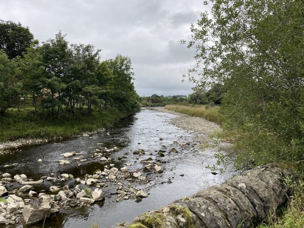
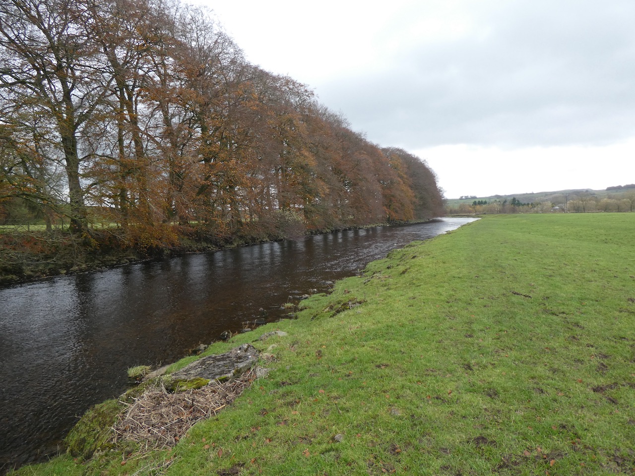
    Leaving Brigholme Farm CL we turn right and follow Station Road towards Penny Bridge.  Before reaching the bridge we turn left into Sandholme Close and soon join the Dales Way as it heads besides the River Ribble on a tarmac path.  We soon reach the Giggleswick Memorial Bridge with the converted Kings Mill on the far side of the river.  Kings Mill was an old cotton mill built around 1830 by John Proctor. 
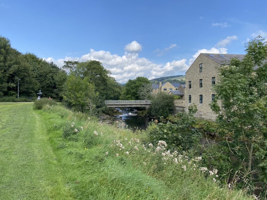
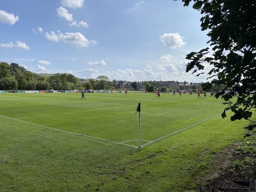
    Instead of crossing the bridge we continue along the path with the river to our right.  On reaching Settle Bridge we still keep the river to our right and cross the road to take the footpath which runs beside Settle United AFC’s football ground.  There is a match in progress so we watch as we slowly pass the side of the pitch.  Formed in 1884, Settle United AFC until recently played in the Craven Premier League which they won on a number of occasions.  They now play in the East Lancashire League and their website claims they are highly successful at this level.  However, today they look set for a defeat.  
    After passing the school playing field we go through a wall gate and enter a pasture field following the Dales Way towards Stackhouse Lane.
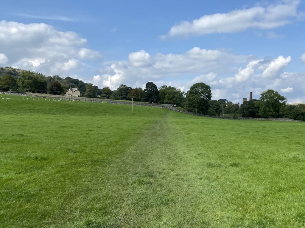
    After going through a couple of fields we reach the lane and turn right and walk along the road to reach Stackhouse Farm.  Since we were here last year a new Caravan and Motorhome Club CL site has opened at Stackhouse Farm.
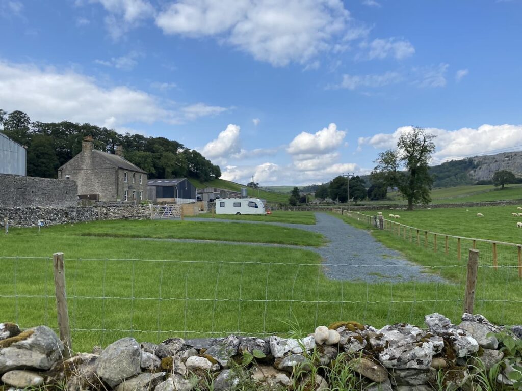
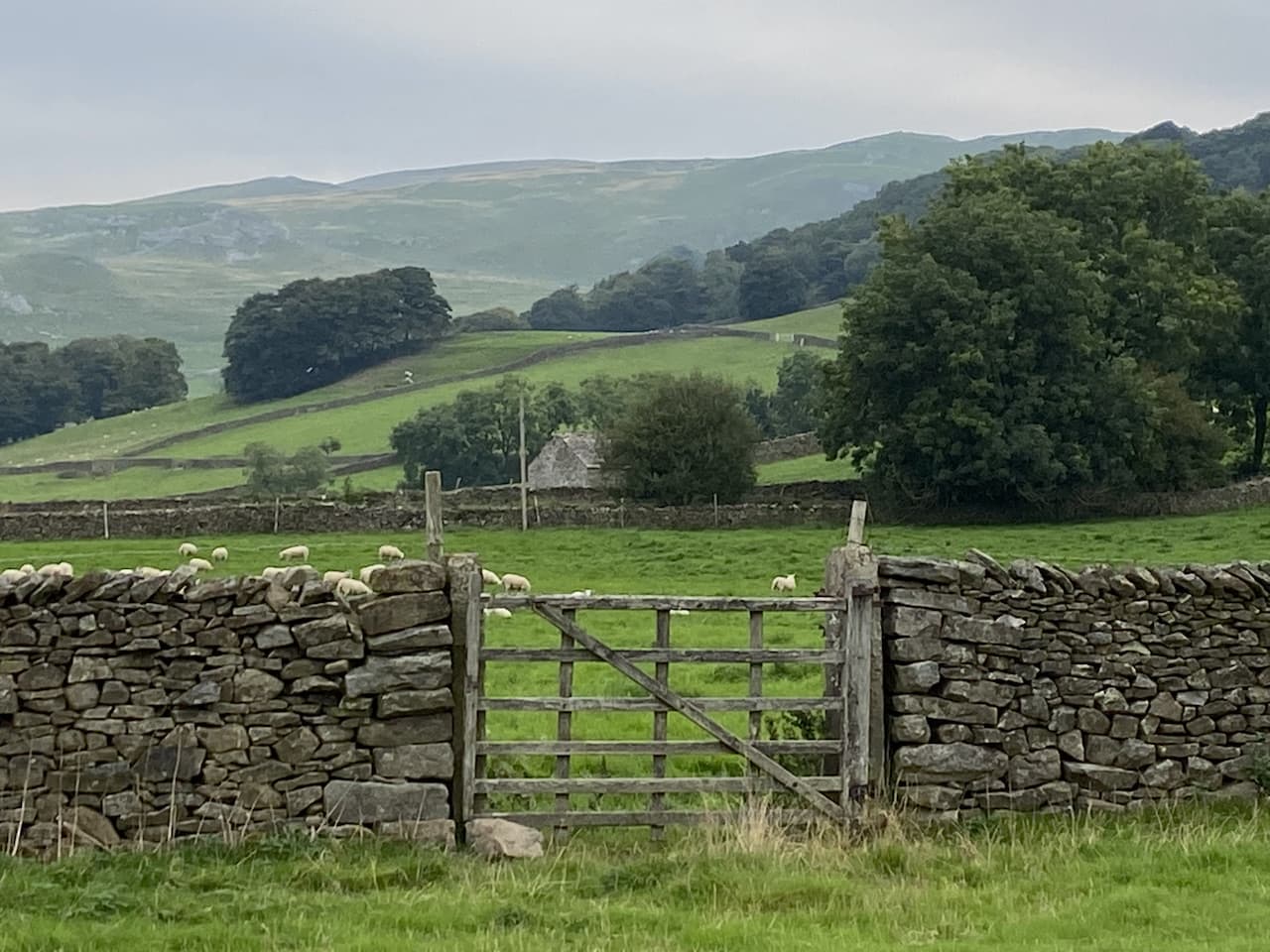
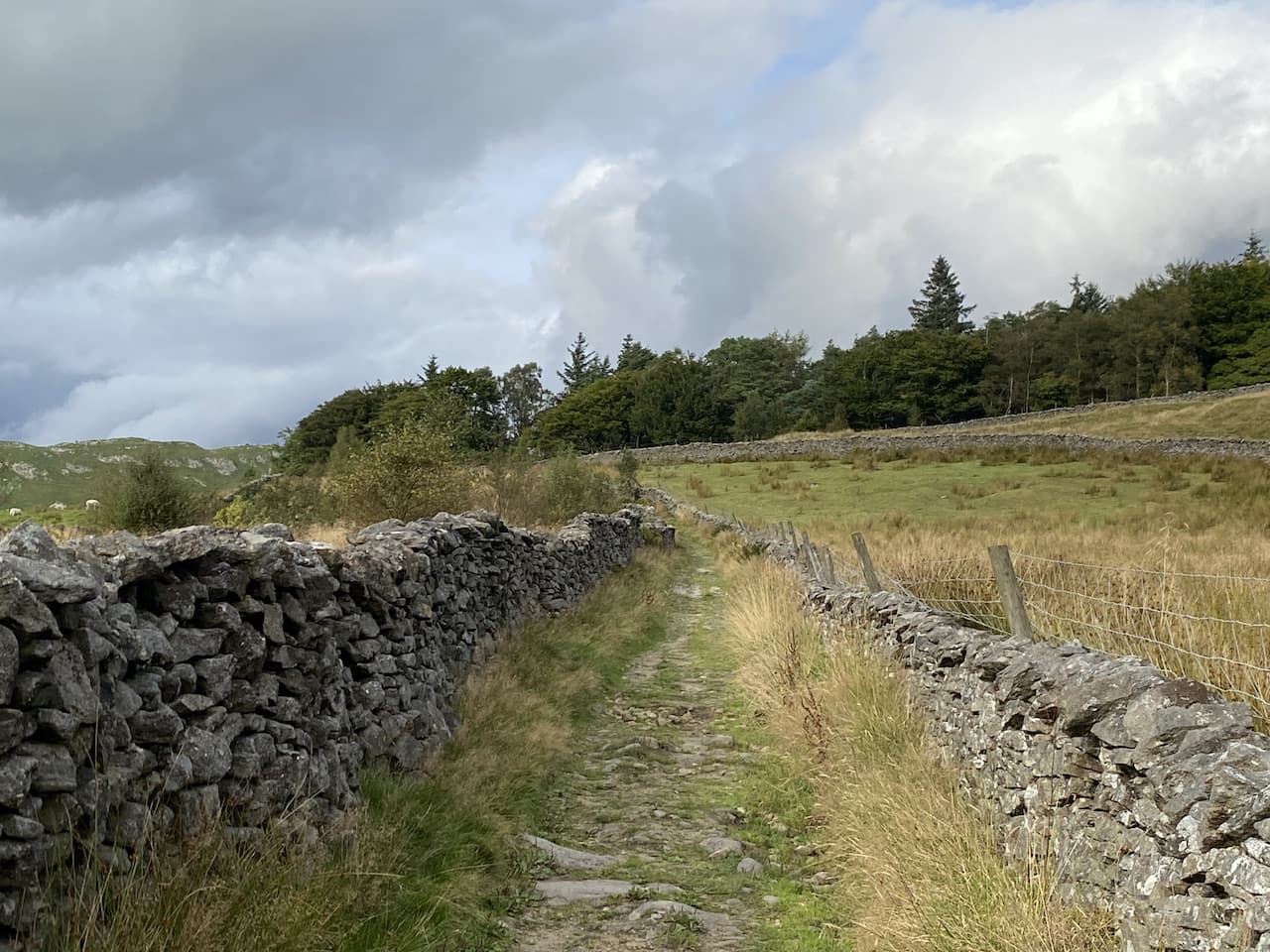
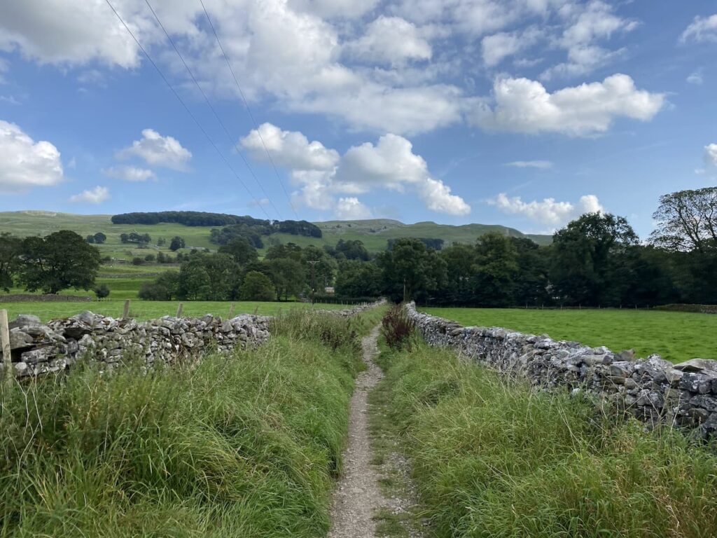
    We take a footpath on the right just before Stackhouse Farm, this goes through a gate and follows a walled path towards the River Ribble.
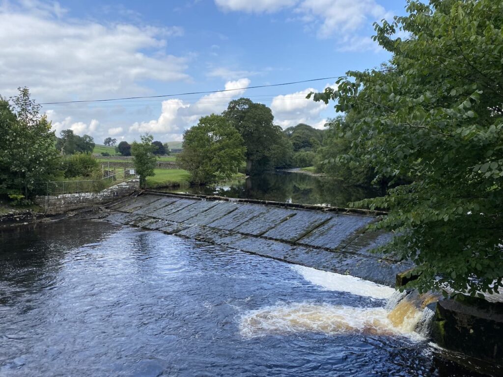
    At the river the Dales Way goes to the left, but we take the path leading over a bridge and past a weir.
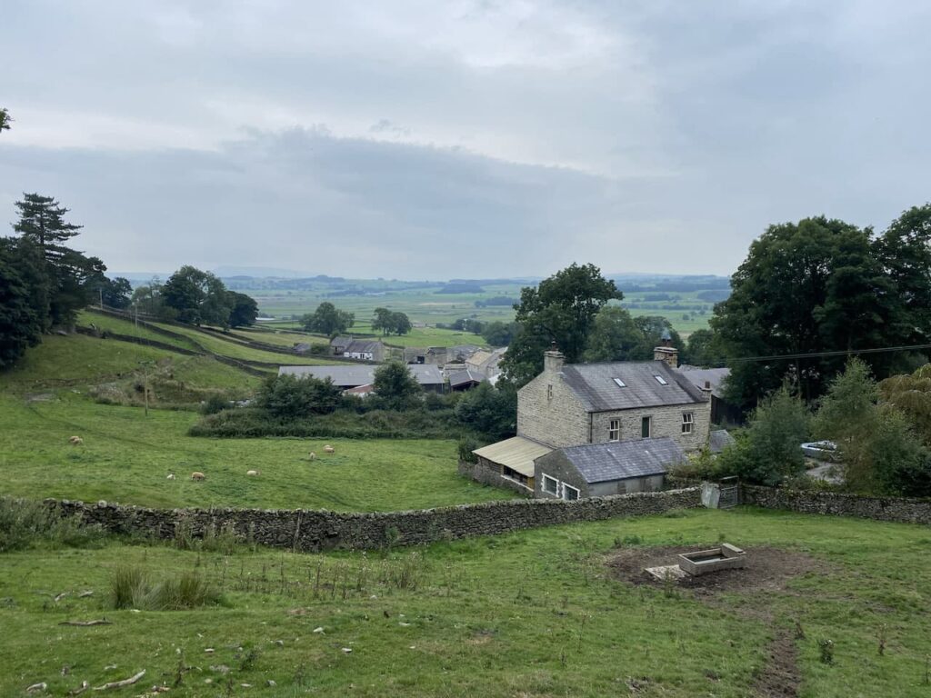
    On the far side of the river we turn right and walk through cottages on either side and then take a path besides the final cottage on the left.  This leads to a gate which we go through to walk beside the Mill Pond of Langcliffe Mill.
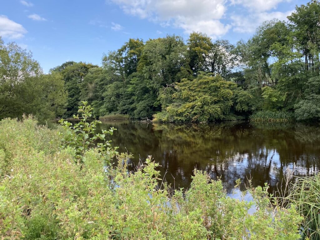
    The High Mill at Langcliffe was built in 1780 and was one of Yorkshire’s earliest and largest cotton-spinning mills.  It is still in use today as a paper mill.
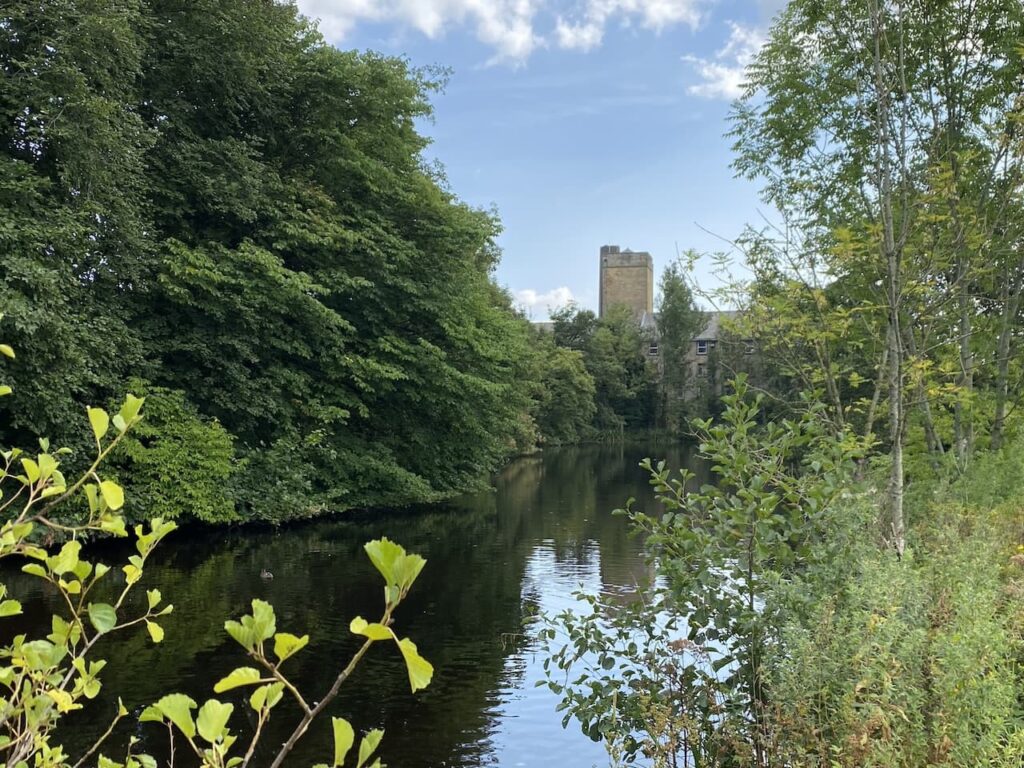
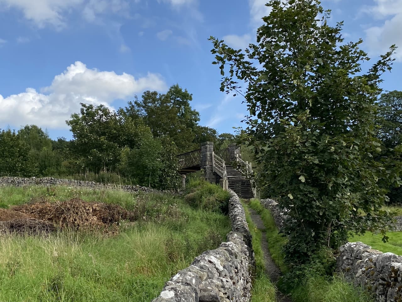
    We follow the path around the side of the mill to reach the entrance driveway to Langcliffe Park Caravan site.  Crossing the driveway we take a walled footpath leading to a footbridge over the Settle to Carlisle railway line.
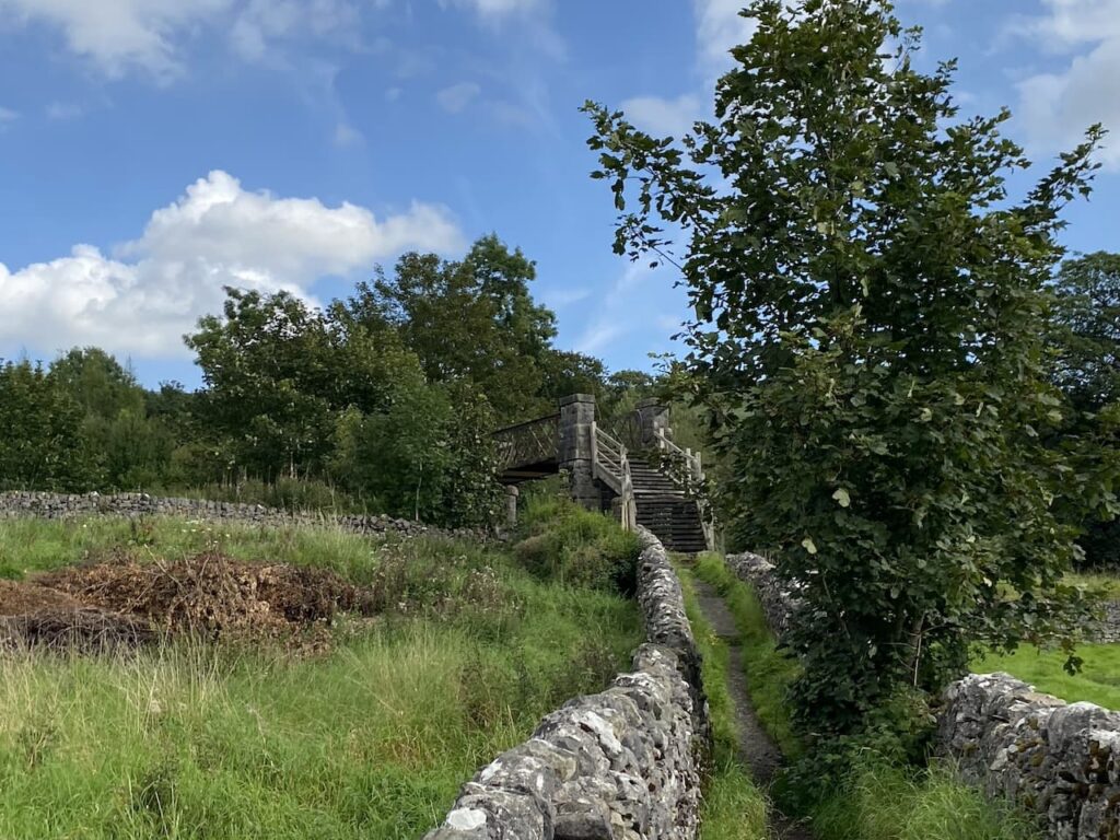
    The footpath leads us to the B6479 which we cross with care and walk into Langcliffe where we stop at the War Memorial to get a drink for Crosby.  We decide it is too hot to head towards Winskill so instead opt for the shorter route back towards Settle.
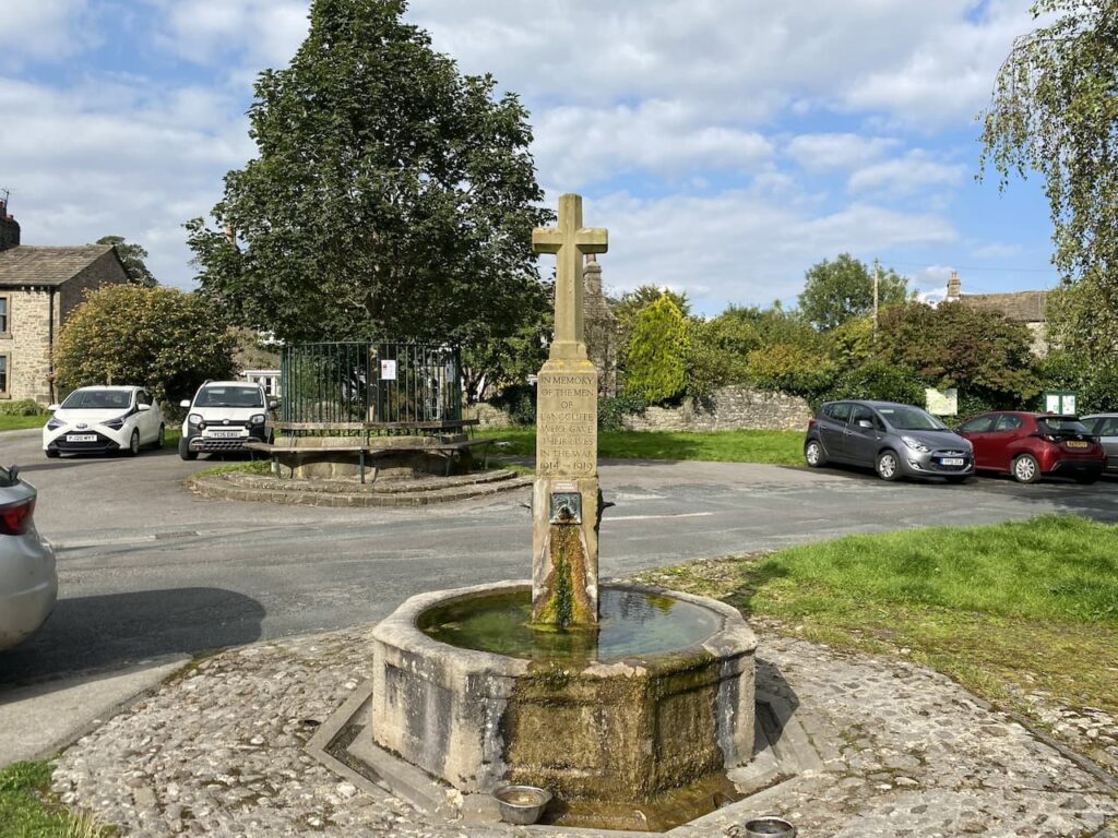
    Continuing through the village we pass the Church and former school and continue uphill on the road.  Just as the road bends to the left we take a footpath in front of us which goes through a gate and then heads steeply up through a pasture field.
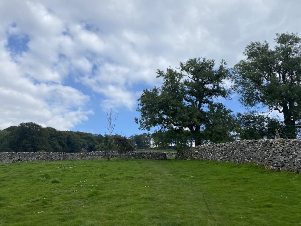
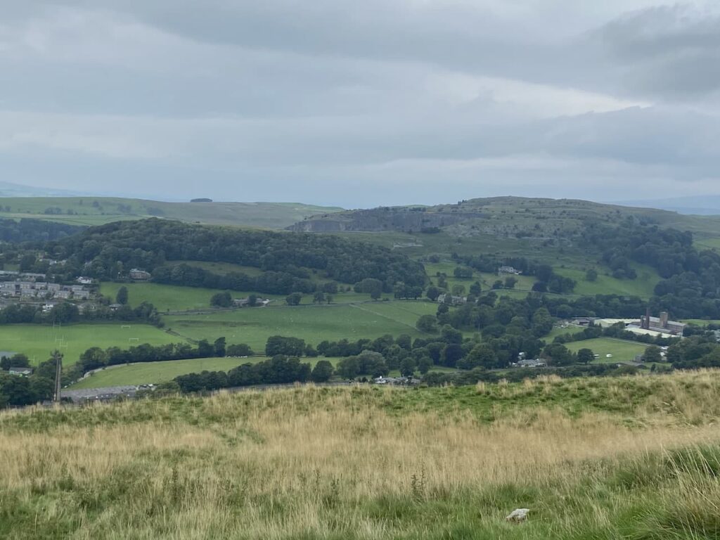
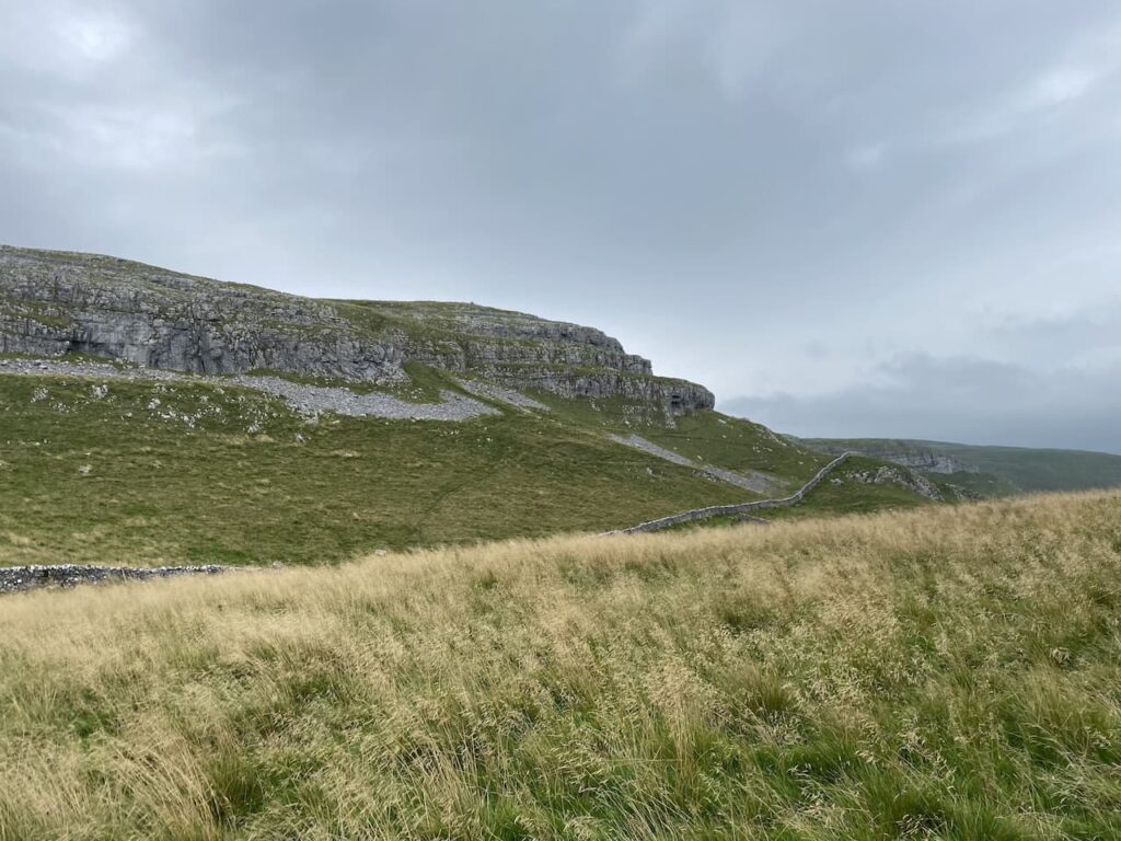
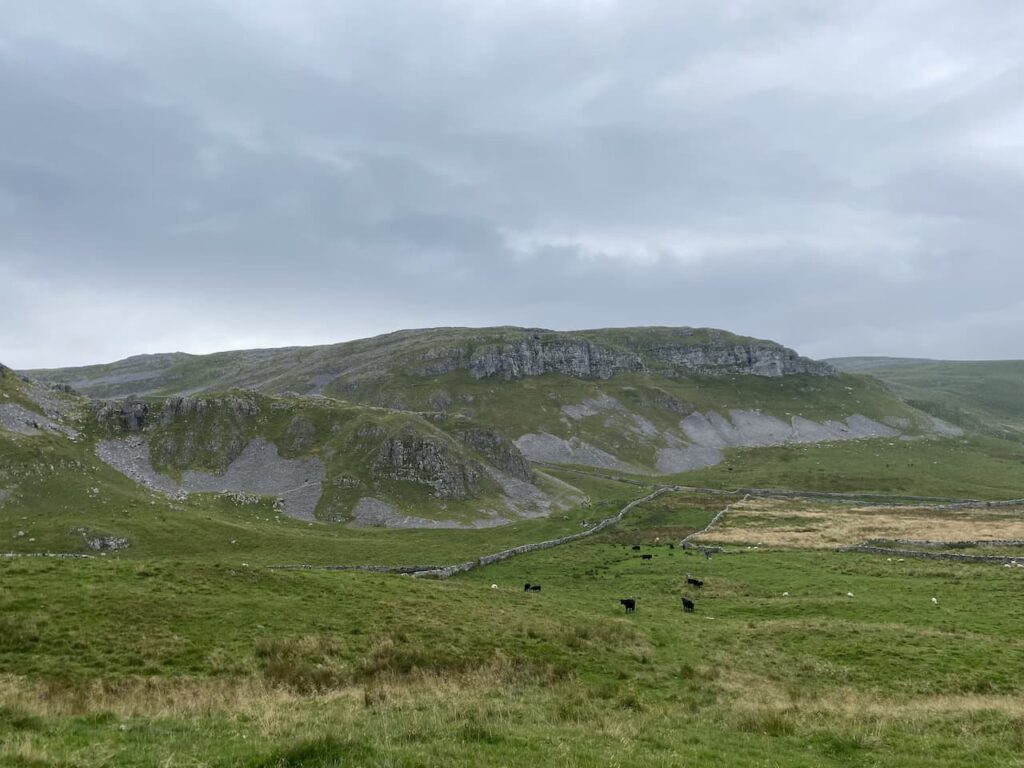
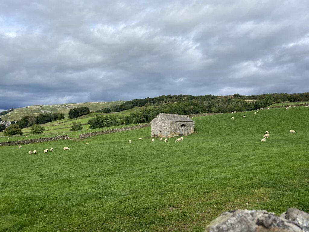
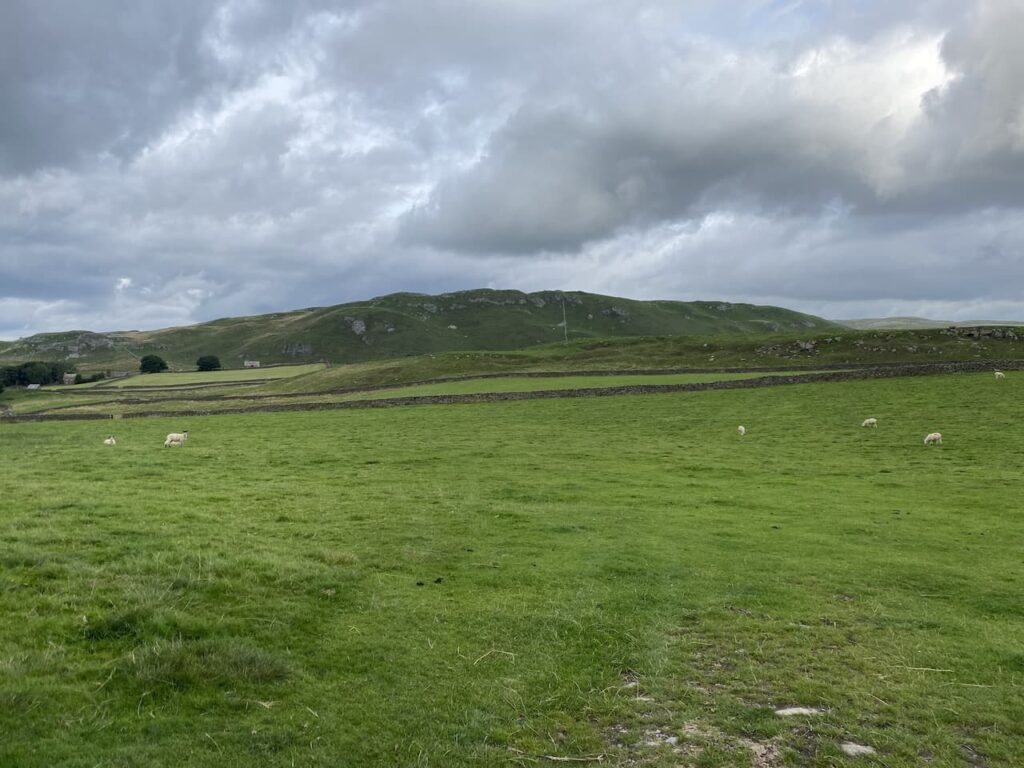
    The path turns to head south through fields passing under the limestone outcrop of Blua Crags with views towards Settle to our right.
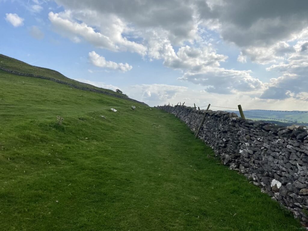
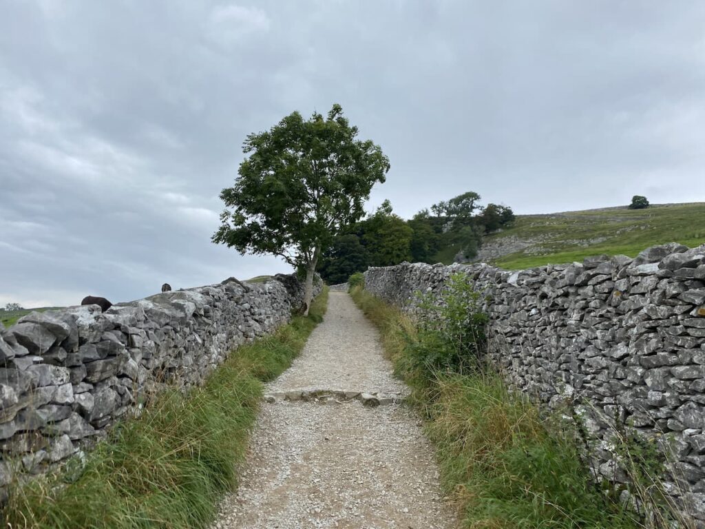
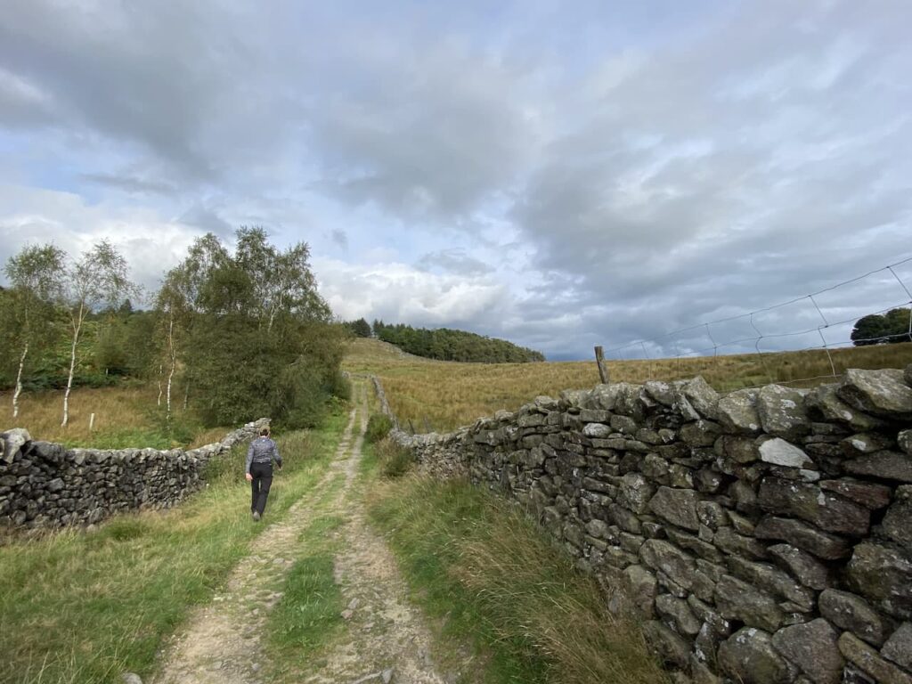
    We keep the drystone wall to our right going through a couple of gates to join a track heading steadily downhill into Settle.

    In Settle we head down to the Market Square.

    We then make our way back through Settle to the caravan at Brigholme Farm.  In has been a pleasant wander on a warm afternoon. 

    You can view this 5 mile walk on OS Maps and download the GPX File Here

    To follow our walk you will need Ordnance Survey Outdoor Explorer -OL2 Yorkshire Dales Southern and Western Areas

    2nd September 2023

    © Two Dogs and an Awning (2023)

    All information on this site is provided free of charge and in good faith and no liability is accepted in respect of damage, loss or injury which might result from it.  To the best of my knowledge the routes are entirely on public rights of way or within areas that are open for public access.
    Walking can be hazardous and is done entirely at your own risk.  It is your responsibility to check your route and navigate using a map and compass.
  • A Four Mile Walk from Brigholme Farm CL

    A Four Mile Walk from Brigholme Farm CL

    Whilst away travelling most of my walks cover upwards of eight miles but occasionally we have a day where we do a shorter walk.  After a few days of lengthy walks Crosby is happy to have a day where he does not venture too far.  We have a relaxing morning around the caravan and then after lunch decide to head off from the site. 

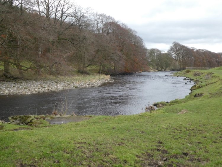
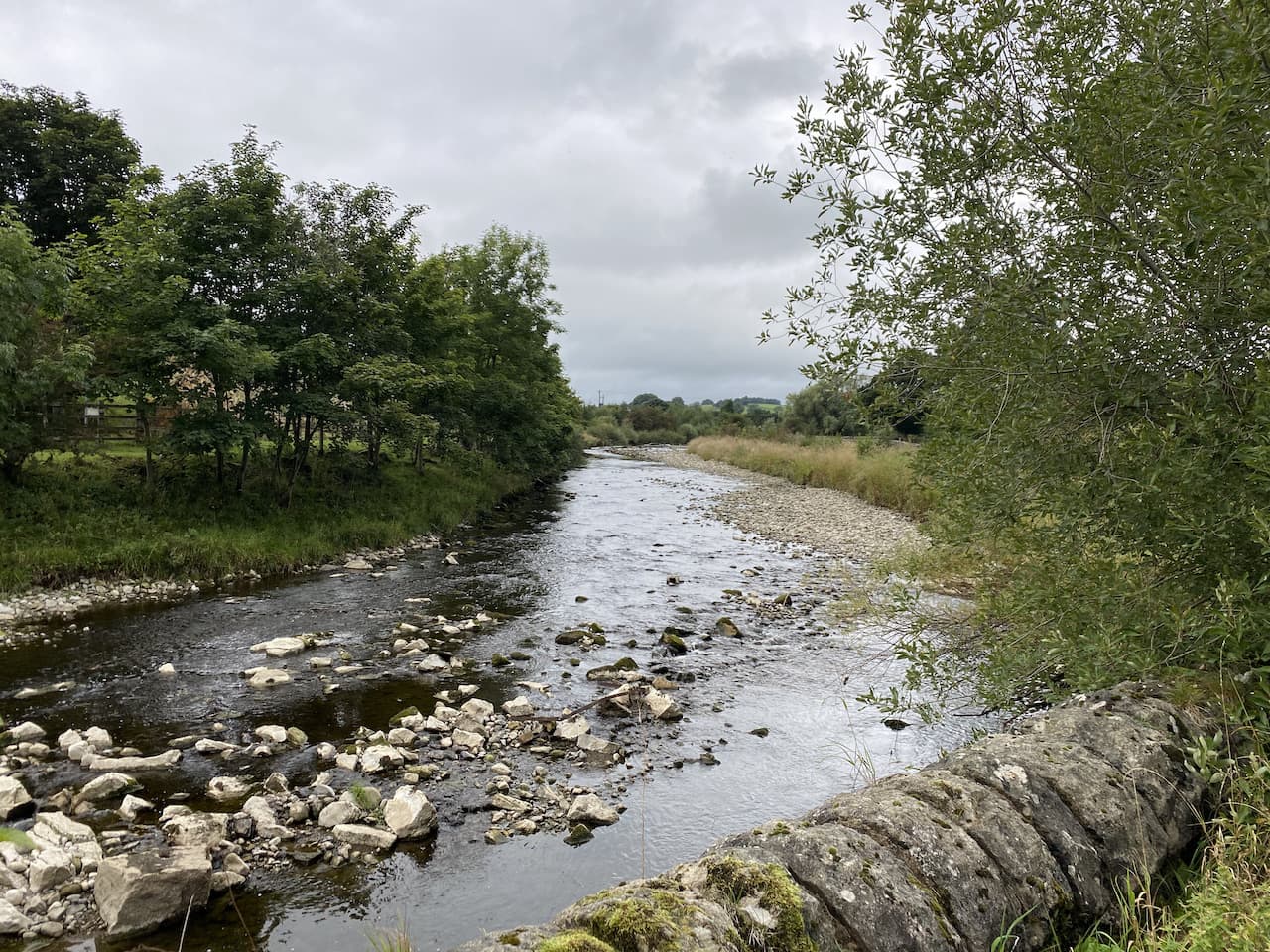
    We leave Brigholme Farm and turn right and within a couple of hundred yards take the footpath on the right joining the Ribble Way as it crosses a field to head towards the River Ribble.  The route now follows close to the river, passing behind barns on Brigholme Farm to enter another field. 

    The path hugs the river as it goes through a gate into a spinney and then turns to run parallel to the A65.  

    Approaching a road bridge over the river we turn right over a ladder stile to climb the embankment and then cross the river on the pavement besides the A65. On the far side of the bridge we take a footpath on the left leading down the embankment and once again join the river.  We turn right and follow a farm track as it sweeps away from the river heading towards Runley Mill.

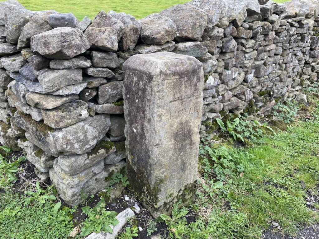
    On reaching the B6480 we stop to look at the Milestone beside the wall with Turnpike Cottage on the opposite side of the road.  

    We cross and continue on the track opposite, Lodge Road, this crosses the railway line giving views across the fields to Settle.

    At a junction of footpaths besides a barn we turn left into Brockhole Lane, or Watery Lane as it is known locally, and head back towards Settle.  

    Our route is now very straightforward, we stick with the lane until we reach the outskirts of Settle,  here we have two options, we can either turn left and take the shortest route back to Brigholme Farm or we can turn right and wander into Settle.  We opt for the latter and head through Upper Settle to reach the market square. After a mooch around looking in shop windows we head back to Brigholme Farm CL.  

    Our short Sunday afternoon wander has covered a pleasant four miles.

    You can view this 4 mile walk on OS Maps and download the GPX File Here

    To follow this walk you will need Ordnance Survey Outdoor Leisure Map OL2 – Yorkshire Dales – Western Area

    19th September 2021

    © Two Dogs and an Awning (2021)

    All information on this site is provided free of charge and in good faith and no liability is accepted in respect of damage, loss or injury which might result from it.  To the best of my knowledge the routes are entirely on public rights of way or within areas that are open for public access.
    Walking can be hazardous and is done entirely at your own risk.  It is your responsibility to check your route and navigate using a map and compass.
  • Hunter Bark and Mearbeck

    Hunter Bark and Mearbeck

    On our last trip to Giggleswick I did a walk that took me to nearby Long Preston and on the way I bagged a trig point at Hunter Bark.  Before setting off on this trip Lynnie requested, even though we have not been here for almost two years, we did some new walks whilst staying at Brigholme Farm.  So I have planned a route taking in a couple of familiar spots but also walking paths we have not previously covered.

    We leave Brigholme Farm by turning right and heading into Settle.  On reaching the market square we leave the town via Constitution Hill and follow the road until it reaches the wide footpath that continues steeply upwards between two dry stone walls. 

    Through the gate at the top of the track we soon veer right to continue even more steeply uphill. As we climb we stop to admire the views back behind us. To the left is Settle and Giggleswick and to the right in the foreground is Langcliffe High Mill.

    We are now on the route of the Dales High Way and follow the well-worn grass path to reach a gate.  We go through and continue along the path with the impressive looking Warrendale Knotts on our left.

    The scenery here is stunning and it gets even better as we go over the brow of a hill and head towards Attermire Scar.

    On reaching a junction of footpaths we go right and head uphill to skirt the side of Sugar Loaf  Hill and then as we head towards a gate stop to look at an Old Lime Kiln.  These kilns are part of agricultural history, the lime was burnt and then spread on the fields as a fertiliser.   If you look carefully you can frequently spot these features on farmland around the Dales.

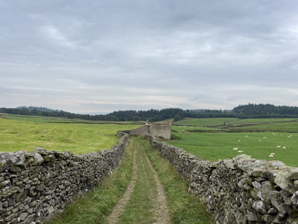
    We reach a ladder stile and cross to join Stockdale Lane and continue along this track to reach High Hill Lane where we turn right and then very soon left into Lambert Lane.  This is a cracking walled track which soon passes Preston’s Barn.

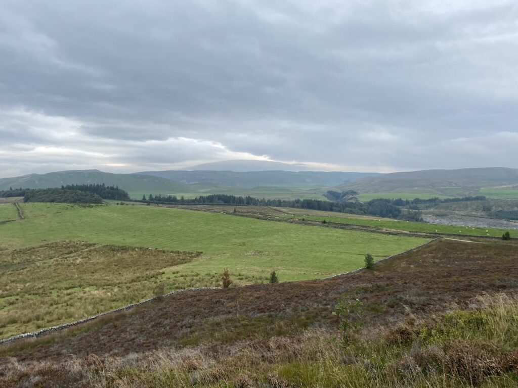
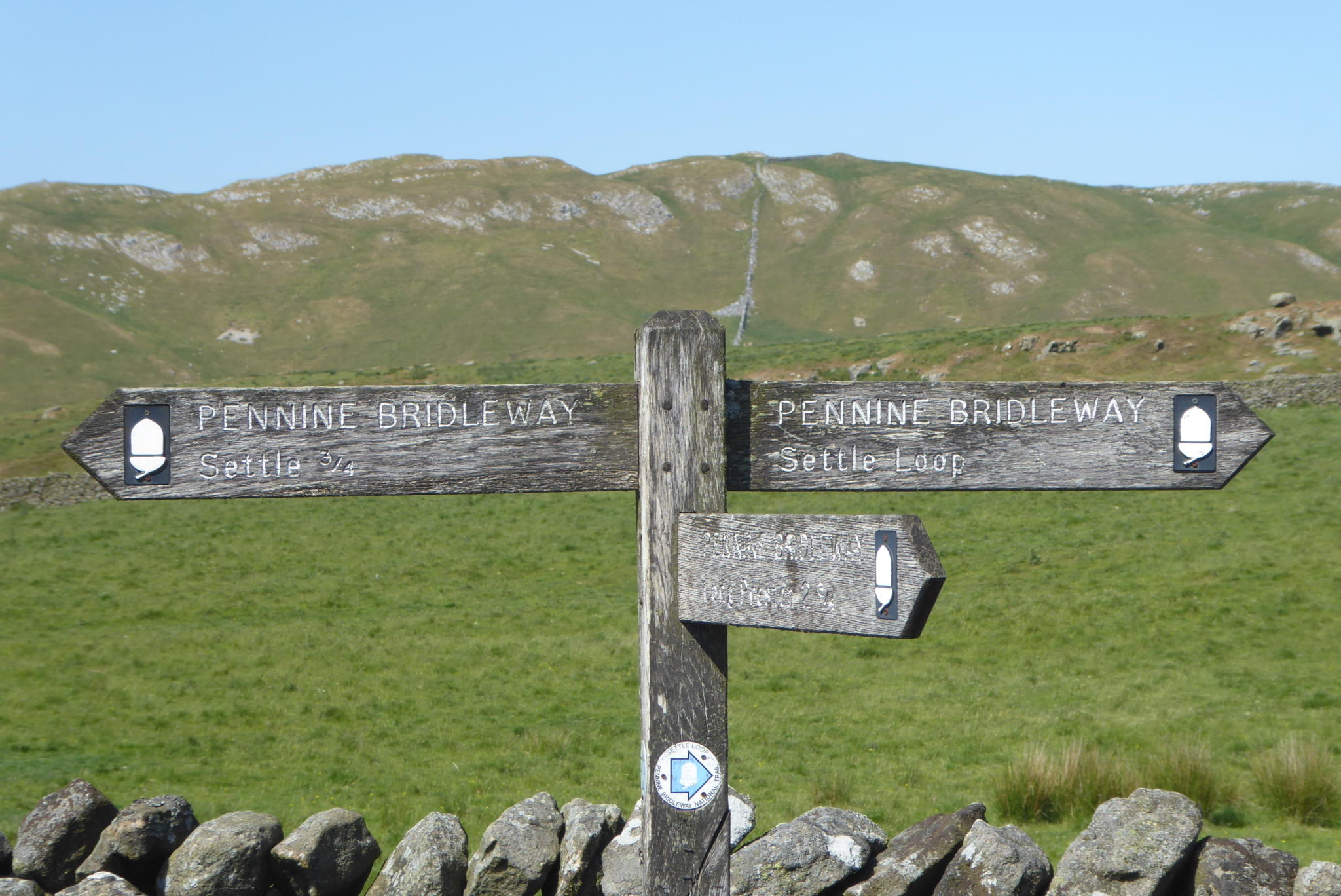
    We are now on the route of the Pennine Bridleway and we stay with this by turning left at a junction of Lambert Lane and Mitchell Lane.  This broad track leads us past Black’s Plantation, we stay left at a fork in the track to stay on the Pennine Bridleway heading south.  As the track reaches the access land of Hunter Bark we detour right to follow a path which leads uphill around the disused quarries.  There are cracking views from the top of the hill.

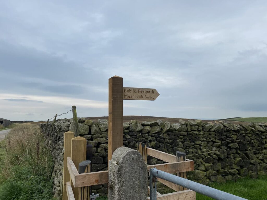
    We follow the path as it descends to rejoin the track and continue past a fenced section of access land to reach a newly installed kissing gate with a footpath signposted to Mearbeck.

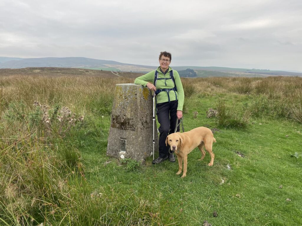
    The footpath leads along the edge of the field; however we take a detour over the open access land to head up a grassy track to reach the summit of the hill in order to bag the Hunter Bark trig pillar.  I have been here before but it is a new one for Lynnie.

    From the trig we head to the south west corner of the access land and rejoin the footpath.  After going through a gate this route continues across fields of pasture towards High Mearbeck Farm.  

    At the farm the farmer points us in the direction of the path we need to head back towards Settle.  This way-marked path goes to the right passing a cottage and heading north to Mearbeck Wood.  In the woods at a fork in the footpath we go right keeping close to a boundary wall and the top of the wood.

    As the path emerges from the trees it descends steeply to a field of pasture and then goes through a wall gate to reach Cleatop Wood.  This area is owned by the Woodland Trust.

    The clear path leads us to a field of pasture, here we follow the path along the edge keeping a wall on our right had side.  We then cross two further fields to reach the farm track to Lodge Farm.  We cross this track and join Brockhole Lane and follow this back towards Settle.

    Nearing Settle we pass allotments and then reach a road, we turn left then at the junction with Ingfield Lane we go left and then continue on to a crossroads where go straight over and then follow the road back towards Brigholme Farm CL.  Our walk has covered eight and a half miles and ticked the box for being a new walk for us in this area.  Tomorrow I have plans to walk a more familiar route and head up Ingleborough, but I will have to break the news to Lynnie gently.

    You can view this 8.5 mile walk on OS Maps and download the GPX File Here

    To follow this walk you will need Ordnance Survey Outdoor Leisure Map OL2 – Yorkshire Dales – Western Area

    13th September 2021

    © Two Dogs and an Awning (2021)

    All information on this site is provided free of charge and in good faith and no liability is accepted in respect of damage, loss or injury which might result from it.  To the best of my knowledge the routes are entirely on public rights of way or within areas that are open for public access.
    Walking can be hazardous and is done entirely at your own risk.  It is your responsibility to check your route and navigate using a map and compass.
  • Back in Settle

    Back in Settle

    After a few days at Hall Croft CL we are on the move to Giggleswick to stay at Brigholme Farm.  Over the years it has been the CL we have visited most on out travels because it is so closely located to Settle which is a favourite location for us.  It only takes us an hour to get from Ilkley to Giggleswick so soon after packing up we are setting up again.

    It is great to be back at Brigholme Farm, our last visit was in November 2019 and who could have imagined what was just around the corner with the Covid -19 pandemic.  There have been times in the last eighteen months that I have wondered if we would ever get back to the Dales.  

    From Brigholme Farm CL we turn right and soon cross Penny Bridge over the Ribble. We turn right to go under the railway bridge. At the crossroads we go straight over into Ingfield Lane and at the bottom fork right around the retirement housing complex.  In a few hundred yards we reach Brockhole Lane on the right.  We often walk along this lane, known locally as Watery Lane.  At the end of the lane we go through a gate and at a crossing of paths close to a modern barn, turn left to follow the lane steadily uphill to Lodge Farm.   

    It is a steady ascent up the farm track to Lodge Farm where we go through a gate and turn left. Soon after at a fork in the track we take the right option. We go through a gate and walk uphill on the track besides Hudsa plantation and then at a second gate follow a walled track. 

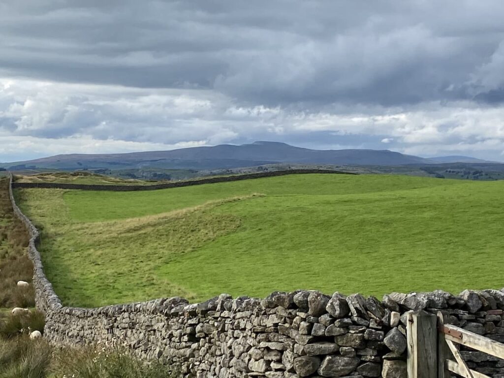
    At another gate we keep straight ahead keeping Black’s Plantation on our right.  There are fine views and in the distance is Ingleborough.  I have a couple of walks planned up that peak over the next couple of weeks, hopefully I will be able to persuade Lynnie to join me on one of them.

    At the junction of Mitchell Lane and Lambert Lane there is a cracking view of High Hill in front of us.  

    We now turn left and follow Mitchell Lane downhill into the centre of Settle and from there head back to Brigholme Farm CL.  Our stroll around has covered four and a half miles and has been a welcome reminder of why we come here so often.  

    You can view this 4.5 mile walk on OS Maps and download the GPX File Here

    To follow this walk you will need Ordnance Survey Outdoor Leisure Map OL2 – Yorkshire Dales – Western Area

    12th September 2021

    © Two Dogs and an Awning (2021)

    All information on this site is provided free of charge and in good faith and no liability is accepted in respect of damage, loss or injury which might result from it.  To the best of my knowledge the routes are entirely on public rights of way or within areas that are open for public access.
    Walking can be hazardous and is done entirely at your own risk.  It is your responsibility to check your route and navigate using a map and compass.
  • Along the Ribble Way to Attermire Scar

    Along the Ribble Way to Attermire Scar

    Today’s walk is a variation of the walk I did a few days ago when I visited Attermire Scar and Victoria Cave.  This route takes in an attractive section of the Ribble Way before heading up to Victoria Cave.

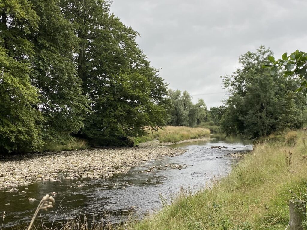
    I leave Brigholme Farm and turn right and within a couple of hundred yards take the footpath on the right joining the Ribble Way as it crosses a field to head towards the River Ribble. The route follows close to the river, passing behind barns on Brigholme Farm to enter another field. 

    The route follows close to the river, passing behind barns on Brigholme Farm to enter another field

    The path hugs the river as it goes through a gate into a spinney and then turns to run parallel to the A65.

    Approaching a road bridge over the river I turn right over a ladder stile to climb the embankment and then cross the river on the pavement besides the A65. On the far side of the bridge I take a footpath on the left leading down the embankment and once again joining the river.  I turn right and follow a farm track as it sweeps away from the river heading towards Runley Mill.

    river heading towards Runley Mill

    On reaching the B6480 I cross and continue on the track opposite, Lodge Road.

    Lodge Road.

    The track climbs steadily to reach Lodge Farm and after going through a gate I turn left and at a fork in the track take the right option. 

    Lodge Farm

    I go through a gate and walk along the track by a plantation and then at a second gate follow the walled track.  At another gate I keep straight ahead keeping Black’s Plantation to my right. At the junction of Mitchell Lane and Lambert’s Lane I fork right into Lambert’s Lane and follow this walled track, enjoying the views.  
    Black’s Plantation

    Reaching a road I take a right turn and then shortly a left onto Stockdale Lane.  In a few hundred yards at the bend I go over a ladder stile to follow the path as it gradually climbs up alongside the wall.   
    Attermire Scar

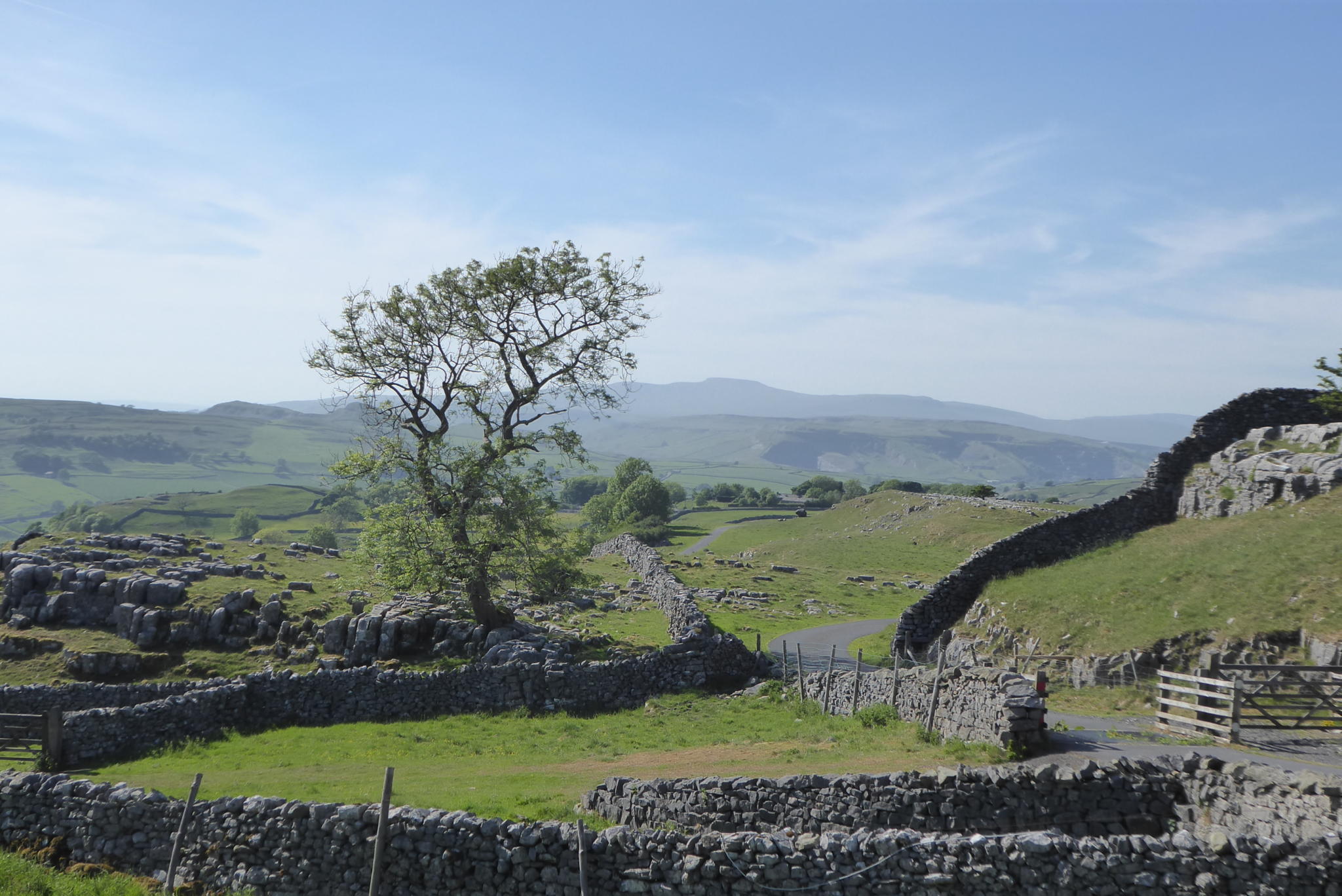
    I head over Sugar Loaf Hill; now in front of me are wonderful views of the spectacular escarpment of Warrendale Knotts and Attermire Scar. 

    Warrendale Knotts and Attermire Scar

    My route continues under Attermire Scar, with views back to Pendle Hill.

    Attermire Scar, with views back to Pendle Hill

    After passing Victoria Cave I go through a kissing gate I turn left and go through a gate on a farm track to descend downhill to another gate. 

    I then take the path on the left way-marked the Pennine Bridleway.  Now it is case of following the path across a couple of fields below Blua Crags before descending on a walled track to return to Settle and then back to Brigholme Farm.  It has been another cracking walk covering just over seven and a half miles. 

    To follow my walk you will need Ordnance Survey Explorer Map OL2 – Yorkshire Dales [Western Area]

    You can view this 13 mile walk on OS Maps and download the GPX File Here (Subscription to OS Maps Required)

    14th November 2019

    © Two Dogs and an Awning (2019)

  • A Seven Mile Circuit from Brigholme Farm CL

    A Seven Mile Circuit from Brigholme Farm CL

    We are nearing the end of our stay at Brigholme Farm CL, every year when I plan our travels Lynnie says she doesn’t want to spend too long in Settle.  “A week will do” is her normal comment.  I always book for a bit longer and on a few occasions we have extended our stay after arriving.  This stay will have been for eleven nights; I could easily stay another eleven but tomorrow we need to be moving south.
    (more…)

  • Winskill Stones Revisited

    Winskill Stones Revisited

    After my walk alone this morning it is time to get the boots laced up again and head out with Lynnie and the boys. For this afternoon’s jamabout we are heading to one of Lynnie’s favourite spots in this area, Winskill Stones and the nearby meadows.
    (more…)

  • A Wander to Warrendale Knotts

    A Wander to Warrendale Knotts

    Over the years I have done numerous walks around Settle, but I have never visited the trig point on Warrendale Knotts.  For years trig points have featured in our walks, but until recently it has been a case of finding one on our route, as opposed to going on a walk with the specific aim of “bagging” a trig.

    (more…)
  • There’s a Storm Brewing

    There’s a Storm Brewing

    Despite planning earlier in the year to retire I have yet to achieve my aim. The main reason is my inability to say no when someone asks me to do some interesting work. The problem is my clients are doing really good things to support others in society, so when they ask for help in developing something it is hard to refuse.
    (more…)

  • When the Rain Came

    When the Rain Came

    It is no secret that one of our favourite locations is the Yorkshire Dales.  I have been visiting the area since a child and it is one of the first places I took Lynnie when we first met.  One of our regular stops in the area is Brigholme Farm CL and it felt a bit like coming home when we arrived after six hours travel yesterday.
    (more…)