Whilst away travelling most of my walks cover upwards of eight miles but occasionally we have a day where we do a shorter walk. After a few days of lengthy walks Crosby is happy to have a day where he does not venture too far. We have a relaxing morning around the caravan and then after lunch decide to head off from the site.
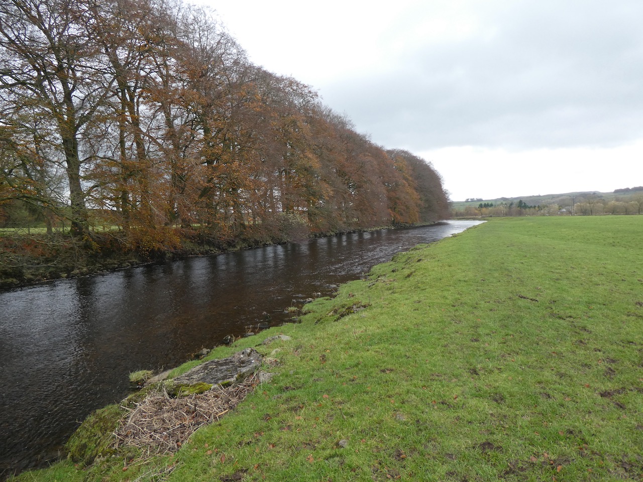
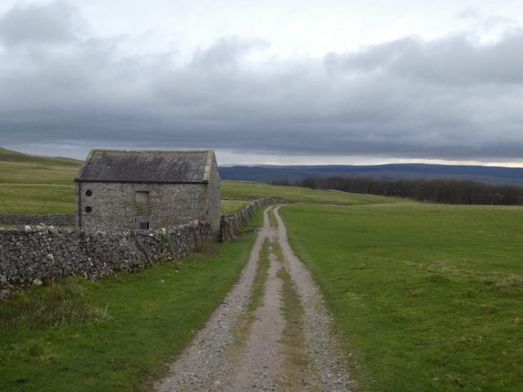
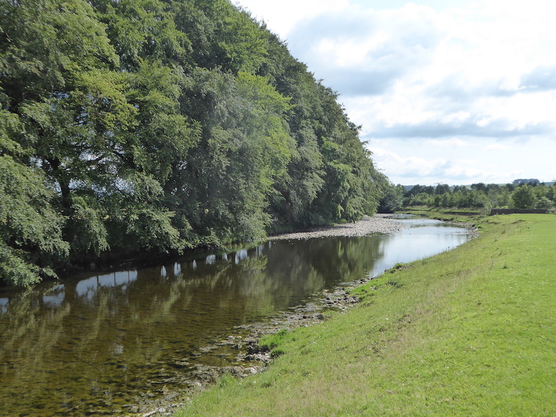
We leave Brigholme Farm and turn right and within a couple of hundred yards take the footpath on the right joining the Ribble Way as it crosses a field to head towards the River Ribble. The route now follows close to the river, passing behind barns on Brigholme Farm to enter another field.
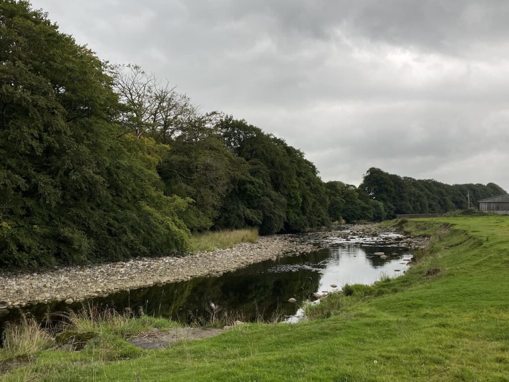
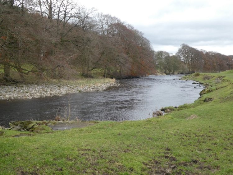
The path hugs the river as it goes through a gate into a spinney and then turns to run parallel to the A65.
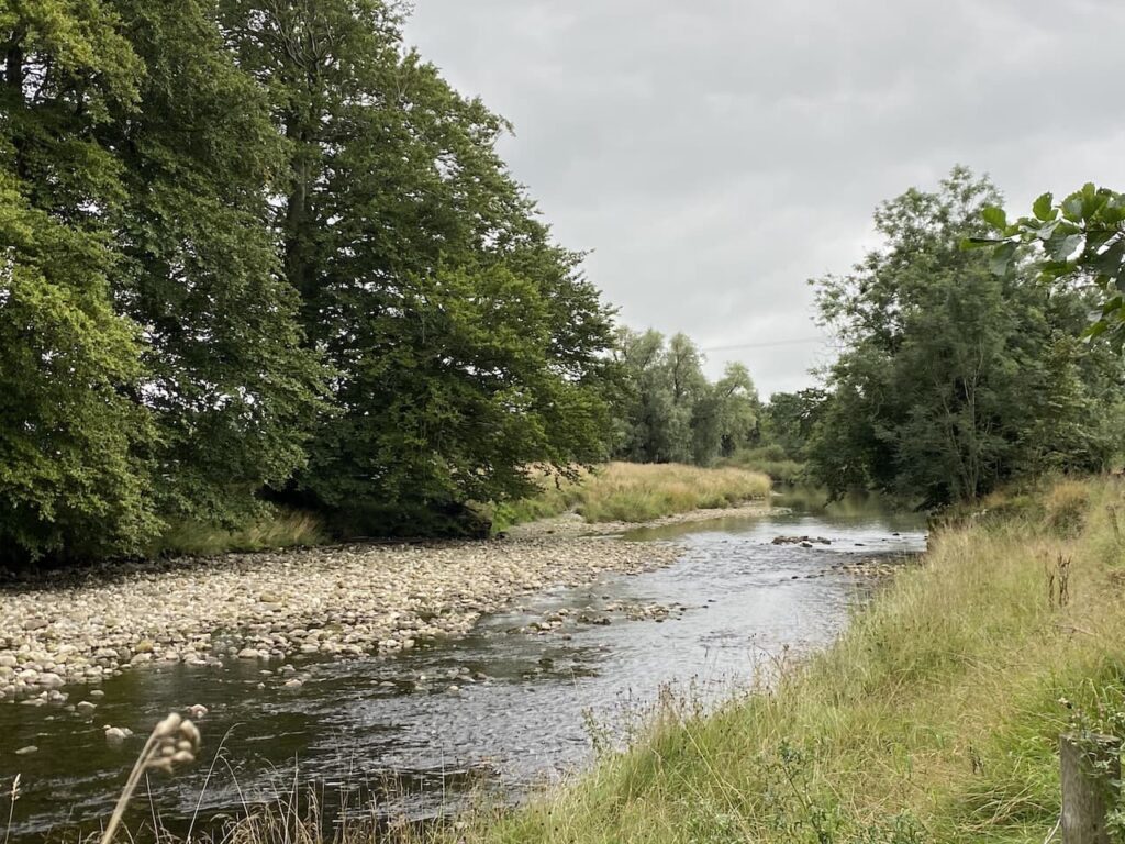
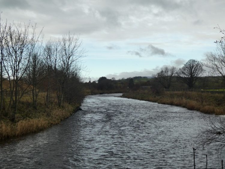
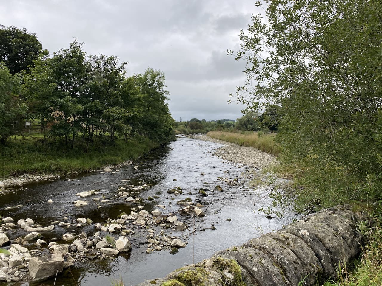
Approaching a road bridge over the river we turn right over a ladder stile to climb the embankment and then cross the river on the pavement besides the A65. On the far side of the bridge we take a footpath on the left leading down the embankment and once again join the river. We turn right and follow a farm track as it sweeps away from the river heading towards Runley Mill.

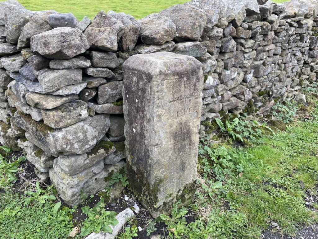
On reaching the B6480 we stop to look at the Milestone beside the wall with Turnpike Cottage on the opposite side of the road.
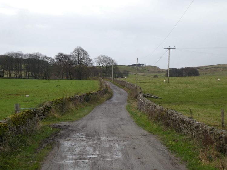
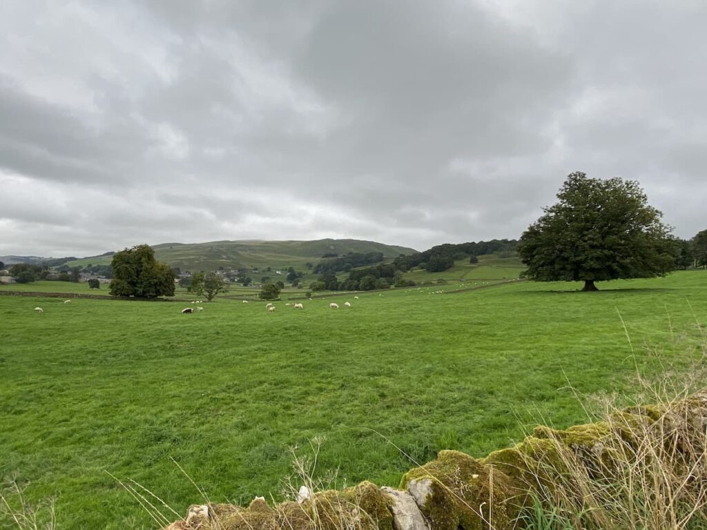
We cross and continue on the track opposite, Lodge Road, this crosses the railway line giving views across the fields to Settle.
At a junction of footpaths besides a barn we turn left into Brockhole Lane, or Watery Lane as it is known locally, and head back towards Settle.
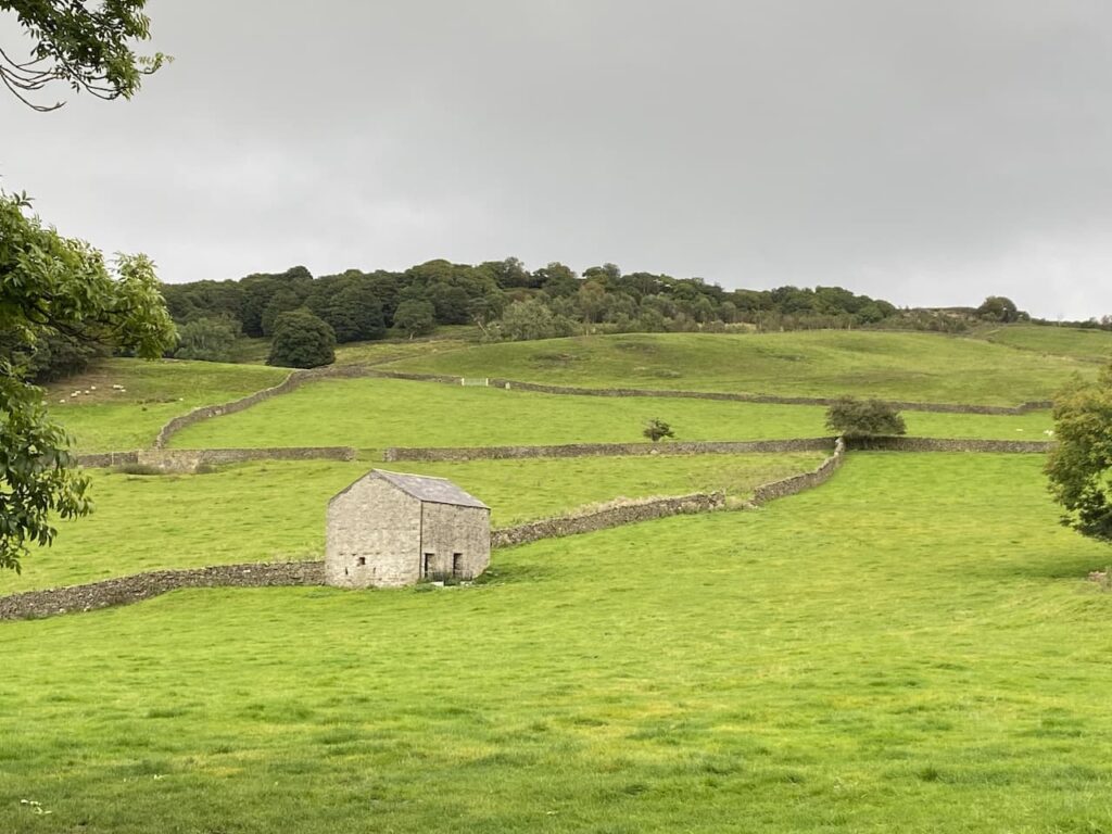
Our route is now very straightforward, we stick with the lane until we reach the outskirts of Settle, here we have two options, we can either turn left and take the shortest route back to Brigholme Farm or we can turn right and wander into Settle. We opt for the latter and head through Upper Settle to reach the market square. After a mooch around looking in shop windows we head back to Brigholme Farm CL.
Our short Sunday afternoon wander has covered a pleasant four miles.
You can view this 4 mile walk on OS Maps and download the GPX File Here
To follow this walk you will need Ordnance Survey Outdoor Leisure Map OL2 – Yorkshire Dales – Western Area
19th September 2021
© Two Dogs and an Awning (2021)
All information on this site is provided free of charge and in good faith and no liability is accepted in respect of damage, loss or injury which might result from it. To the best of my knowledge the routes are entirely on public rights of way or within areas that are open for public access.
Walking can be hazardous and is done entirely at your own risk. It is your responsibility to check your route and navigate using a map and compass.