Tag: Ordnance Survey Benchmarks

  • A Saunter to Sough Top 

    A Saunter to Sough Top 

    Occasionally when on our travels we get a day when we awake to the sound of rain drumming on the roof of the caravan.  It normally means that Crosby is reluctant to get up, he doesn’t mind getting wet if it starts raining whilst we are out, but is very reluctant to head out when it is heaving down.  After some gentle coaxing we head out for a brief walk up the lane, but at the first opportunity Crosby is turning for home and pulling on the lead to get back into the dry.

    There is an old proverb that says rain before seven, fine by eleven.  However, this fails to be true today and the rain shows no let up.  Eventually it reaches the stage where both man and dog need to go out and stretch their legs.  It’s alright for me, I have a decent set of waterproofs and soon have these on.  Meanwhile Crosby looks at me with a level of consternation, he does not want me to go without him, but equally he doesn’t fancy getting wet. Eventually the bond with his master, and a firm tug on his lead, is enough to cajole him.  Lynnie feels much the same as Crosby about heading off in driving rain, but obviously the bond is not so great as she puts the kettle on for more tea and settles down with her book.

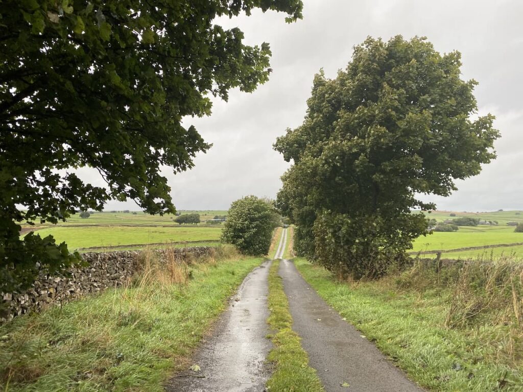
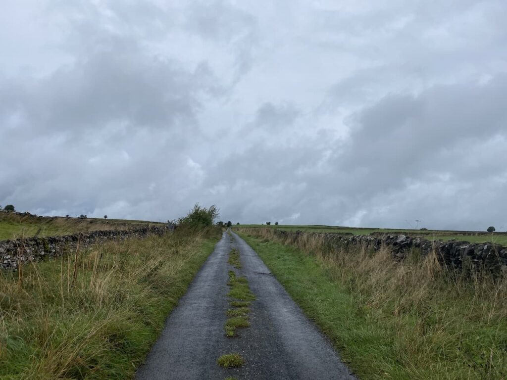
    I have decided to walk from the caravan and leave Moor Farm CL turning left down the lane and at the road junction take the first turning on the left to head along Pasture Lane.  This is a road with grass growing in the middle so I know I am unlikely to encounter much traffic.

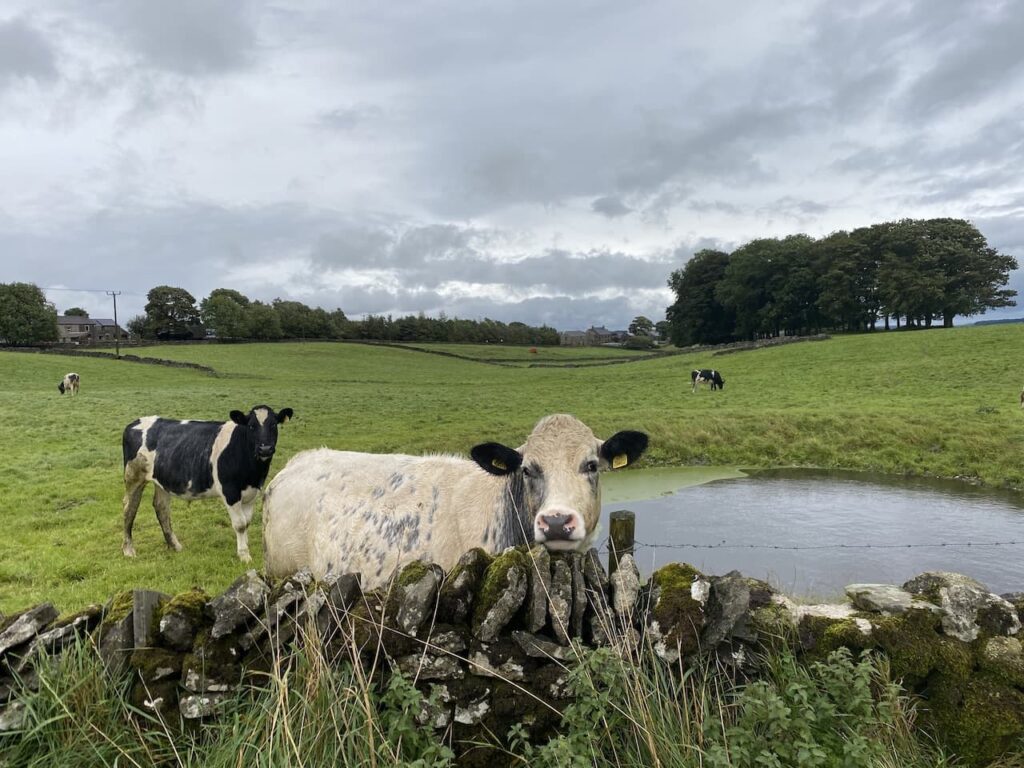
    Just before the entrance to High Stool Farm we attract the interest of a cow in a field.  Walking on my own I am not too perturbed by cattle, however when I have Crosby with me I much prefer to have a wall or fence between me and bovines.

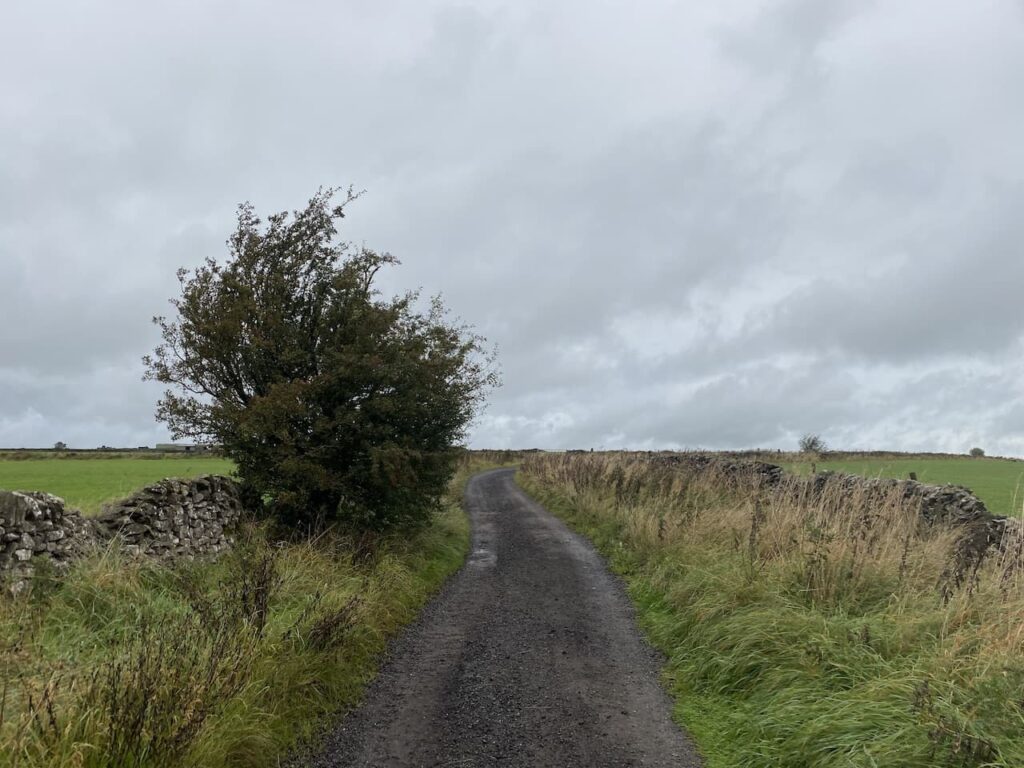
    The lane passes the entrances to High Stool Farm and Town Head Farm and then reaches a junction where I turn left into Green Lane and follow this to a crossroads. My route is straight ahead but first I stop to look at the Ordnance Survey benchmark which is cut into a rock forming part of a dry stone wall.  

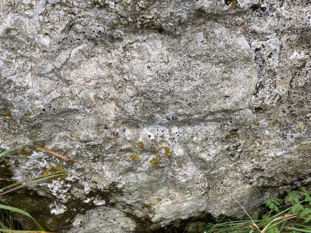
    Bagging benchmarks has been a feature of my walks since the first Covid lockdown, they make an interesting feature to look out for on a walk and for folk like me who are fascinated by maps they are an indicator of how the local area was mapped in the past.

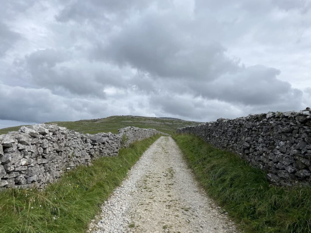
    After going straight over at the crossroads I continue uphill on Green Lane, this section is another  with grass growing in the middle.

    Green Lane leads to a junction where I turn right into Moor lane and then after a couple of hundred yards turn left onto a track (Sough Lane).

    The track ends with gates at a crossing of footpaths.  Here I turn right and cross a wall stile before continuing along the path with the drystone wall to my left.

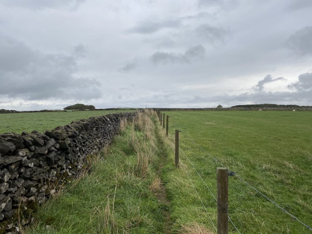
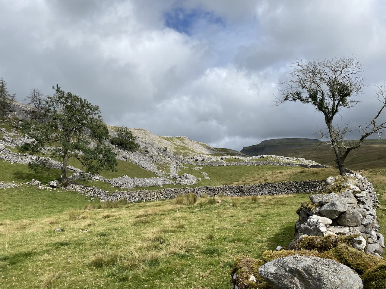
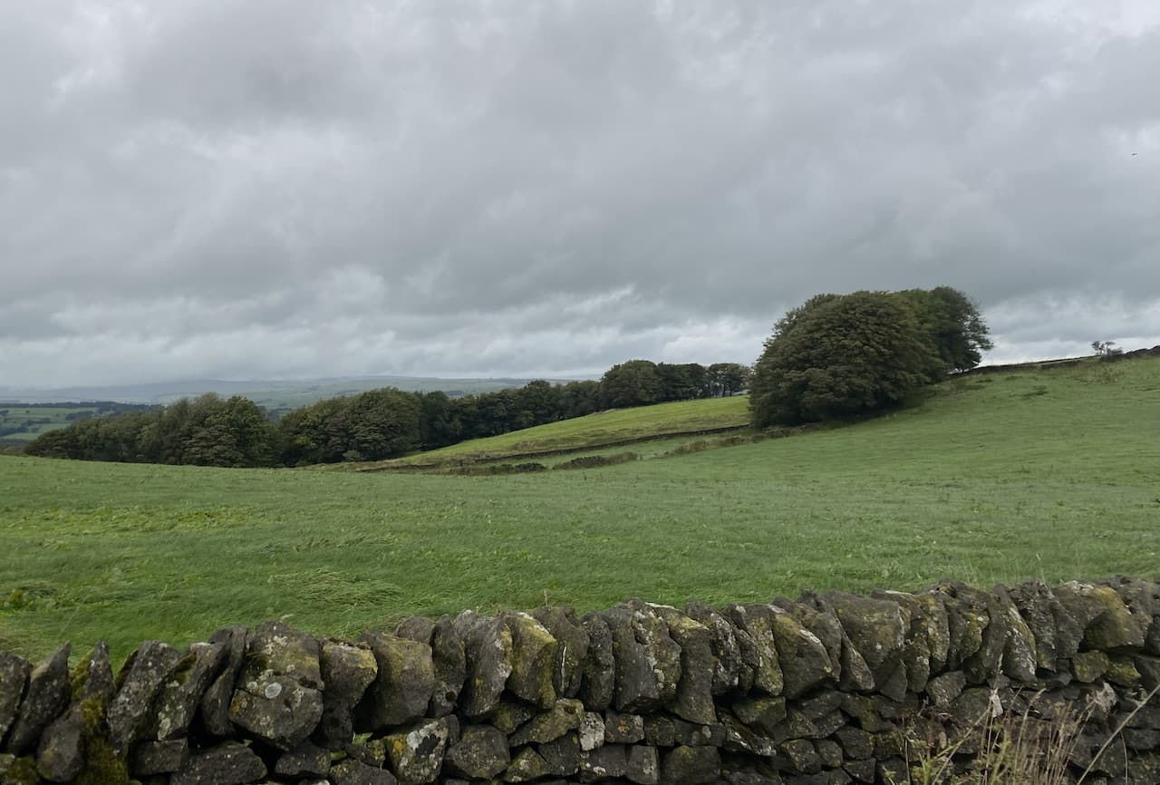
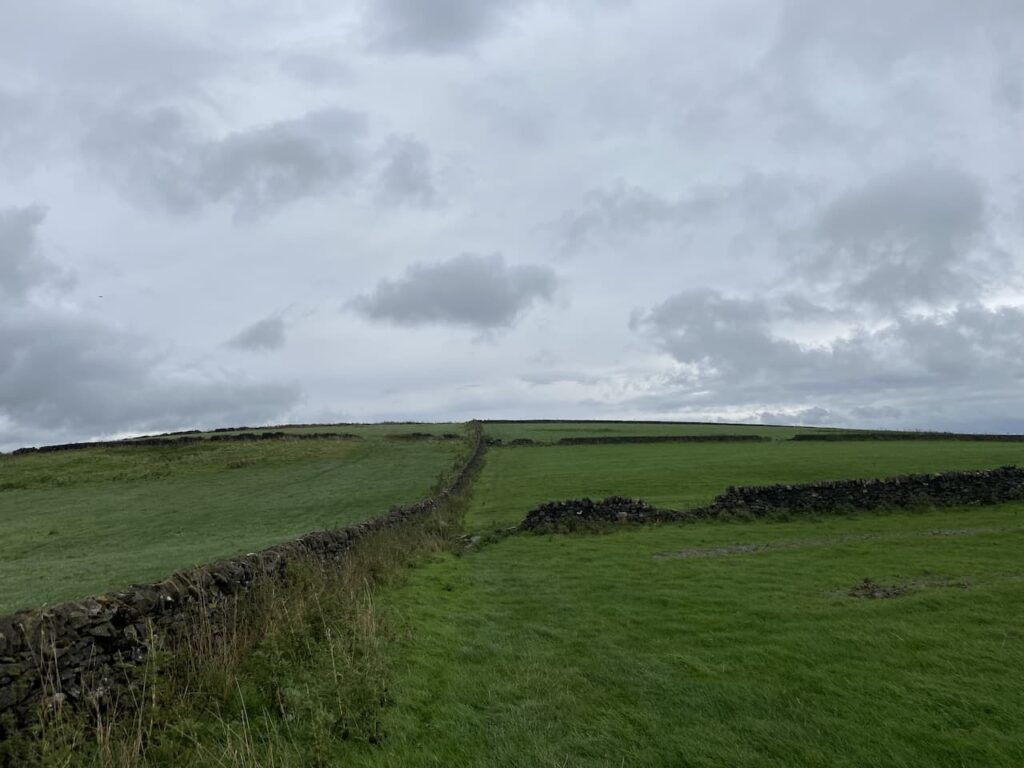
    The path crosses a number of fields some where the wall still stands, others where it has fallen.

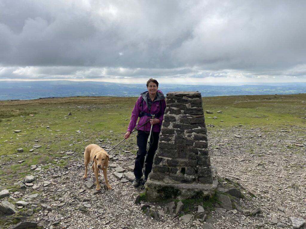
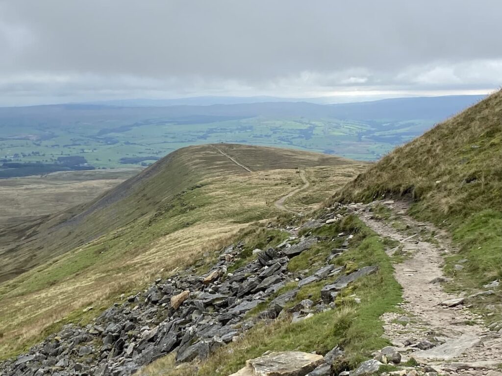
    The sixth field I enter has a gate on the left.  Here I take a brief diversion from the footpath and go through the gate and cross the stubble to visit the Ordnance Survey trig pillar at Sough Top.  This is the 278th trig I have bagged.

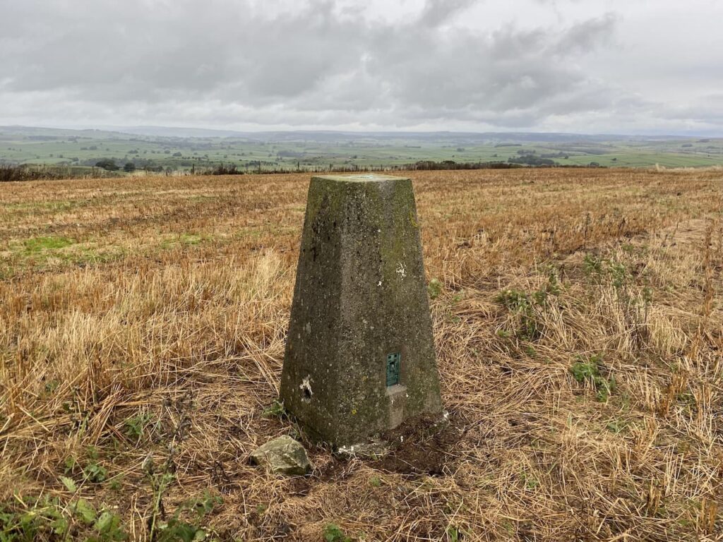
    After bagging the trig I retrace my steps across the field and go through the gate to rejoin the footpath and turn left to follow the footpath east, soon passing Sough Top reservoir which provides water to Taddington.

    After two more fields the path starts to descend towards a road.  In front of me is view of Taddington.

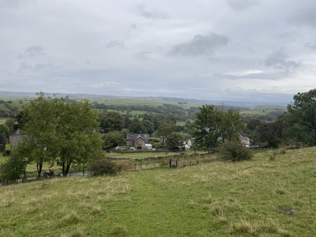
    A few years ago we stayed at the Blackwell Hall CL which is just on the other side of Taddington.  I had not appreciated until now that it is so close to where we are currently staying.

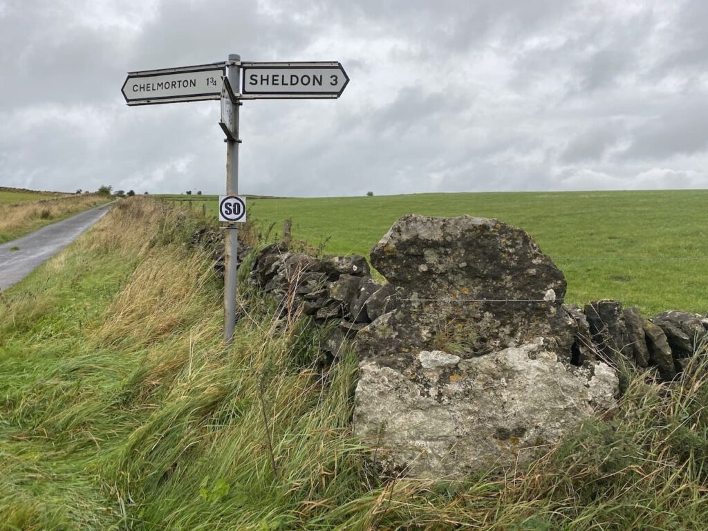
    After crossing a stile I reach Slipperlow Lane and turn right heading uphill to reach a junction with Moor Lane where I turn left  following it to a junction with a road called The Jarnett,  It had been my intention to take a footpath at this junction and head across fields to Flagg, however, the light is beginning to fade and although I have a head torch in my bag the prospect of walking through fields of cattle shining a torch with Crosby beside me is not attractive.  So instead I turn right and follow the road downhill.  Soon on my right I spot a dew pond in the field.

    My route is now straightforward as I follow the road into Flagg and in the village turn left just before reaching the bus shelter and the Methodist Chapel.  The road I am now on is Mycock Lane, it is now dark and pouring with rain so I am grateful for the torch in my ruck sack.  I continue along this lane, as it bends right becoming Moor Lane, until I reach the crossroads where I had earlier turned into Pasture Lane.   I walk the short distance back up Stonebench Lane to return to Moor Farm CL.

    Back at the caravan my walk has covered just over 7 miles and now I must dry Crosby off before I can sort myself out.  Hopefully we will get a dry day tomorrow!

    You can view this 7 mile walk on OS Maps and download the GPX File Here

    To follow this walk you will need Ordnance Survey Explorer Leisure – OL24 – The Peak District, White Peak

    30th September 2021

    © Two Dogs and an Awning (2021)

    All information on this site is provided free of charge and in good faith and no liability is accepted in respect of damage, loss or injury which might result from it.  To the best of my knowledge the routes are entirely on public rights of way or within areas that are open for public access.
    Walking can be hazardous and is done entirely at your own risk.  It is your responsibility to check your route and navigate using a map and compass.

  • Returning to Ingleborough

    Returning to Ingleborough

    Somethings are a given when we stay at Brigholme Farm CL, top of the list is that during the stay I will walk up Ingleborough.  Usually I manage it at least twice during our stay and I will definitely be there tomorrow when I take on the Three Peaks again.  Lynnie does not share my enthusiasm for this mountain.  She has walked it plenty of times and is usually reluctant to ascend it again. So imagine my surprise when she suggests we both walk to the top!

    The route we are taking is via Ingleton, this is a walk we did back in 2018 with both dogs.  Sadly Dexter passed away in the Spring so it is just us and Crosby heading up today.  It is a route we stupidly attempted when the children were small.  Lolly was in a buggy at the time and we did not get far! 

    Today we start from the car park in Ingleton; this is the location of the Community Centre and Library and is also home to the Tourist Information Centre.  We leave the car park to walk into Ingleton and then follow the road towards Hawes.

    On reaching Storrs Common we fork right to follow a track continuing uphill across the common.  At a fine old gate post with an Ordnance Survey benchmark we continue along the now walled track.

    We follow the track uphill to join the wall-lined track, Fell Lane. This is an easy route to follow and pleasant walking on a fine day.  I still find it hard to imagine why I thought it was a good idea to try and push Lolli up here in a buggy.

    We go through a gate and the track continues ahead towards the remote farmhouse at Crina Bottom.  

    As we near the farmhouse the track forks to the right away from the farm driveway. The path is still well defined as we pass the stunning White Scars where we find a spot to stop for lunch.

    The other side of this scar is the entrance to the White Scar caves.  These are said to be the longest show caves in England and contain the Battlefield Chamber which is 90 metres long.  The caves were first discovered in 1923 by two amateur geologists. Christopher Long and J.H Churchill first spotted a small entrance which led to a waterfall.  At that time they were not able to progress further, but over the years further discoveries were made.  We visited the caves when our children were small.  I am not keen on the claustrophobic feel of caves so will not be venturing in again.

    Refreshed from our lunch we continue up the path towards the summit of Ingleborough. The ascent is now steep and I am grateful for the hill walking I have done over the summer to prepare for a fortnight in the Dales.  Lynnie is finding it hard going and is regretting suggesting we walk up here.

    We arrive on the plateau at the top and walk over to the trig point for the obligatory photo.  This is the trig I have visited most on my walks but I still take a picture every time I get here.   Lynnie suggests I take her photo with Crosby because she has no intention of walking up this hill again.  I am not sure if she means on this trip or ever again. 

    Whilst at the trig we are joined by a couple undertaking the Three Peaks Challenge, the chap is overjoyed at getting to the summit of the final peak.  He explains that on his first attempt to complete the walk, on a hot day last year, he had to bail out after descending Whernside because he was badly dehydrated.  A good reminder to ensure that I put an extra water bottle in tomorrow before I head off on my clockwise route around the peaks.

    Our route off the summit is the path leading over Little Ingleborough.  I know this route across the plateau well but decide it would be good to take a compass bearing from the trig to our descent route.  Since doing a navigation course a couple of years ago I have made a habit of using a map and a compass to ensure I retain the skills for when I really need them.  We leave the plateau by a cairn and start the clear descent across Little Ingleborough.

    At the cairn on the summit of Little Ingleborough we leave the main track and take a footpath on the right.  This is a lot clearer than the last time we walked it in 2018 and is easy to follow as it descends across Newby Moss.  

    Approaching Newby Cote I take a peek over the wall at the lime kiln.  A few years ago I purchased an excellent book by Dr David Johnson on Lime Kilns in the Yorkshire Dales.  It has provided a fascinating insight into the importance of these kilns on the agricultural development of the Dales. I now keep an eye out for these old structures as I walk around.

    Following a farm track we reach a particularly high ladder stile besides a gate.  The gate is locked and it is a real challenge getting Crosby over the stile without injuring him, or me!  I understand wanting to keep the field secure, but do not believe it needs to be so challenging to access.  We continue on a farm track to reach a minor road where we turn right beside some farm barns .

    We head along the minor road (Old Road) towards Ingleton.  This is a very quiet road and pleasant walking, it passes a collection of small farms and cottages.  At each farm I keep an eye out for any sign of an Ordnance Survey benchmark.  Details of all the logged benchmarks can be found on the ordnance Survey website, but I prefer to go “wild” and look for them as we go along.  There are over 500,000 dotted around Britain so one is never too far away.

    Entering Ingleton we turn left downhill to walk through the village back towards the car park.  Our walk has covered close to ten miles.  I think it has been a cracker and Lynnie is relieved to tick off Ingleborough safe in the knowledge she won’t be walking up there again soon.

    You can view this 10  mile walk on OS Maps and download the GPX File Here

    To follow our walk you will need Ordnance Survey Outdoor Leisure Map 2  – Yorkshire Dales Southern & Western Area

    14th September 2021

    © Two Dogs and an Awning (2021)

    All information on this site is provided free of charge and in good faith and no liability is accepted in respect of damage, loss or injury which might result from it.  To the best of my knowledge the routes are entirely on public rights of way or within areas that are open for public access.
    Walking can be hazardous and is done entirely at your own risk.  It is your responsibility to check your route and navigate using a map and compass.

  • A Circuit from Pitton to West Tytherley

    A Circuit from Pitton to West Tytherley

    One of the challenges walking during the current lockdown is finding sufficient variation in my walks.  Most years we would have already been away in the caravan a few times by now, but this year I am frequently walking the same routes.  So today I am heading out to do a bit of jamming about to find some footpaths I have not walked for a long time.

    I start from the Silver Plough in Pitton by turning left out of the car park and left again along The Green, the lane running alongside the Silver Plough pub.  I take the second footpath on the right to head uphill and leave Pitton.  After going through a kissing gate at the top of the hill I continue past paddocks and through two more gates to follow the footpath into Church Copse.

    When the footpath joins a forestry track I turn right and follow it to a six-way junction of footpaths.  Here I turn left and follow the forestry track passing a metal gate and then continuing straight on along the track ignoring footpaths to the right and left.  

    After passing a metal barrier the track becomes a path and skirts a house, The Shooting Box, to join Livery Road, here I turn left and then within fifty yards take a right along the footpath heading uphill on a farm track. At the top of the hill I meet a crossing of paths, but continue straight on along the track heading towards Bentley Wood.

    I follow the track as it bends to the right (the route of the footpath is across an arable field) but rather than damage crops I stay with the track passing a plantation on the right.  On reaching the edge of Bentley Wood I enter the trees and immediately turn left and follow the footpath along the edge of the woodland. On reaching a well-used path on the right I turn into the woods to walk along the side of Three Sisters Copse. 

    On reaching a junction with a forestry track I continue straight ahead.  Within a hundred yards the track bends to the left but I continue straight on a path heading east.

    The path gradually descends to reach, West Dean Road, a minor road by a house.  I go through a gate and turn right for a few yards on the road before taking a footpath on the left which heads through woodland.

    Leaving the woods I cross a field to reach a stile and then continue into the grounds of Norman Court.  Up until recently Norman Court was a public prep school and is now the base for a Community Interest Company running education and other events.  Apparently, the location derives its name from Roger Norman who owned the estate in the 14th century.  The old manor house was demolished around 1752 with a new one built and then extended over the years.

    In 1906 Washington Singer (1866 – 1934), of Singer sewing machines fame, purchased the estate and it passed to his son Grant Singer who was killed in action during World War II at the second battle of El Alamein in 1942.  His widow sold the estate in 1952, it then became a school.

    The footpath signs lead through the grounds to the entrance driveway, which I follow until the path leads along a driveway to Norman Court Stud, there is a gate across the driveway but access to the path is to the right of the gate.  Following the path I pass Norman Court Stud.

    I continue along the driveway to head into West Tytherley and on reaching a road, North Lane, I turn right and walk through the village passing the community shop and the Black Horse pub.  Just after passing the village school I turn left into Church Lane and on reaching the churchyard enter to seek out a bench to stop for lunch.

    When I am away with Lynnie we often pop into churches to admire the architecture and wander around graveyards.  Since lockdown I have started seeking out Ordnance Survey Benchmarks on my walks.  It adds a bit of variation and takes me to some interesting old buildings.

    The ordnance survey used benchmarks to record height when surveying.  A survey would start from a fundamental benchmark, where the exact height above seas level was known and then continued on a route, as they went along creating benchmarks and recording the variation in height through a process of spirit levelling.

    Approximately 500,000 benchmarks still remain.  The exact number is not known as they are frequently lost in house redevelopment, road widening or bridge repairs.  Whatever the number there is no doubt I will not even find a third of them!

    After locating the benchmark on St Peter’s Church I decide to wander around the churchyard.  There are two graves that catch my eye.  The first is the grave of Washington Singer.  

    The other is the grave of Sir Albert Victor Francis Seymour 2nd Baronet.  He was the son of Sir Francis Seymour who amongst other things was the Groom-in Waiting to Price Albert when he married Queen Victoria.  This is a term I have not previously heard.  Apparently, the role continued after the marriage and the death of Prince Albert in 1861.  In 1876 Victoria made him an Extra Groom-in-Waiting, I am not sure if this was a promotion or a demotion.  

    After Francis Seymour’s first wife died in 1867 he re-married and at the age of 76 he had a son Albert who later became the Page in Waiting to Queen Victoria, which apparently is a ceremonial office and requires attendance at State Occasions like the opening of the Houses of Parliament.  Apparently these are handed out to members of the landed gentry and relatives of officers of the Royal household and are seen as prestigious positions. Increasingly I find myself taking the Oliver Cromwell view on such things. 

    Leaving the churchyard I turn right into Red Lane and stay with this lane as it forks to the right at a junction with the interestingly named Pug’s Hole.  This is a narrow country lane, but there is no traffic and it is pleasant walking.  At a junction with Frenchmoor Lane I turn right, still on Red Lane and as I approach a junction with Dean Road spot a Victorian letterbox on the right.

    I turn left into Dean Road and after a couple of hundred yards take a footpath on the right leading into woodland.

    On reaching another road, Scouts Lane, I cross and take the track into Bentley Wood and stay on this track passes a car park in the woods.  At the next track on the right which is blocked to vehicles I leave the main track and gradually ascend through the woods.

    There is a network of paths and tracks in these woods but I stick with the main track as it sweeps to the left through Redridge Copse to reach a forestry track where I turn right.  After quarter of a mile I reach a crossing of forestry tracks.  Here I turn left and walk through Coalpits Copse.

    At a junction of tracks I continue straight on to the Livery Gate and continue walking down to the road and then right to pass the houses of the Livery.  Taking a footpath on the left leading through the edge of the farmyard I pass through a wooden gate to follow a hedged bridleway to a track where I turn right and then quickly left along the edge of the field.

    I stay on this path as it crosses another footpath and then after going through a gap in the trees return to the junction of six paths where I head north on the main forestry track until I reach a way-marker towards Pitton.  From here I retrace my steps up through Church Copse then along the footpath as it runs besides fields.  After passing through a kissing gate I cross a track and go through another gate to walk besides paddocks to reach another kissing gate where I descend down the steps to follow the path back into Pitton.  On reaching the single track lane, The Green, I turn left and return to my starting point at the Silver Plough.

    My walk has covered 11 miles with about a third of it on paths I have not previously walked.  Time to study the maps to see if I can discover some other new routes.

    You can view this 11-mile walk on OS Maps and download the GPX File Here

    To follow our walk you will need Ordnance Survey Outdoor Explorer Map 131 – Romsey, Andover & Test Valley.

    Additional Information

    For more information on this walk including car parking, amenities, refreshments and detailed walking directions visit my associated Walking Moonraker website.

    2nd June 2020

    © Two Dogs and an Awning (2020)

    All information on this site is provided free of charge and in good faith and no liability is accepted in respect of damage, loss or injury which might result from it.  To the best of my knowledge the routes are entirely on public rights of way or within areas that are open for public access.
    Walking can be hazardous and is done entirely at your own risk.  It is your responsibility to check your route and navigate using a map and compass.