Tag: New Forest Walks

  • Following Tracks from Fritham

    Following Tracks from Fritham

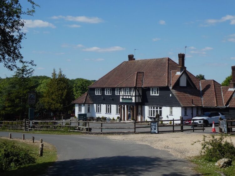
    After my week away in Minehead I am back home and making the short trip into the New Forest today for a walk with my walking buddies Gary and Nigel.  After a prolonged spell of wet weather we know parts of the New Forest will be waterlogged so have planned a route keeping mainly on tracks.  The starting point for our walk is the car park in Fritham which is close to the Royal Oak pub.  (Grid Ref SU231141).

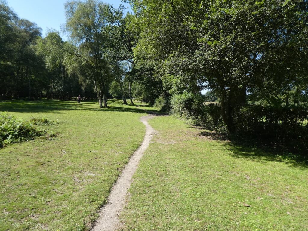
    We leave the car park and head towards the minor road we drove in on, but before reaching the road we turn left and join a track which has a sign saying it is the cycle route to Frogham only.

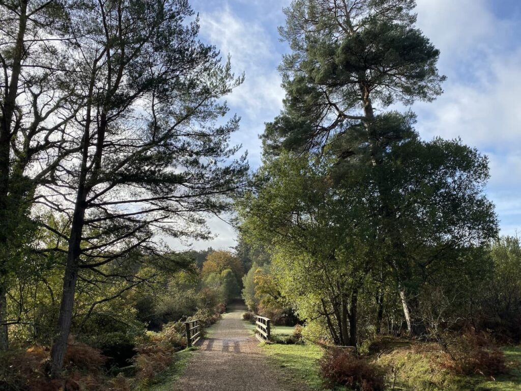
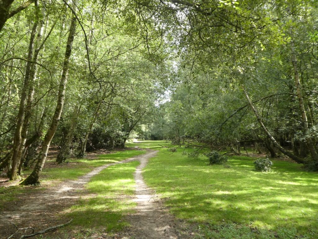
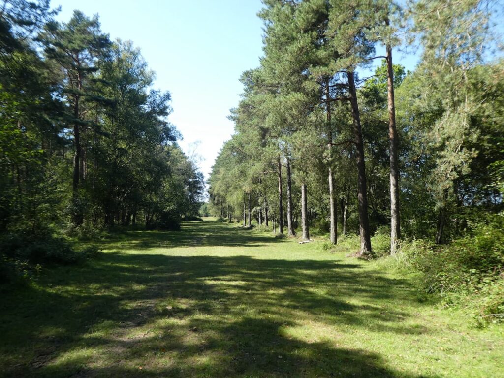
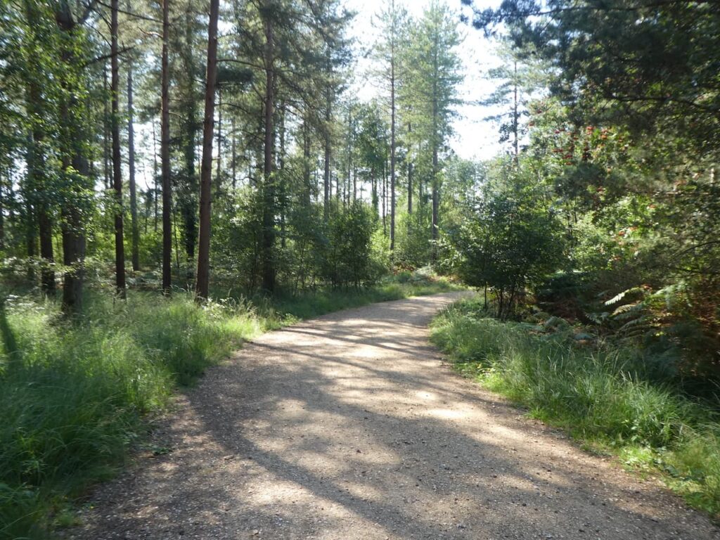
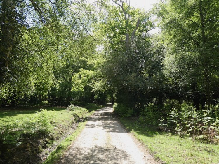
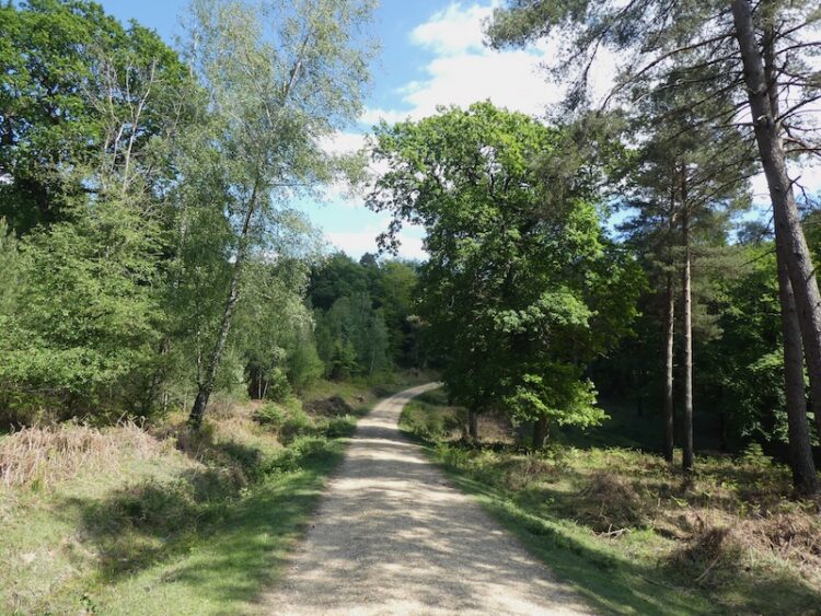
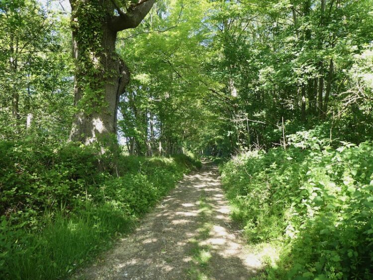
    This track heads west through Gorley Bushes. 

    After almost half a mile the path descends and passes a more open area and at a junction of tracks we keep to the left to continue heading west on the route of the cycleway.

    There are a network of tracks in this area of woodland.  We stay on the cycleway as it sweeps to the north west and then at a junction of tracks take the path on the right going north.

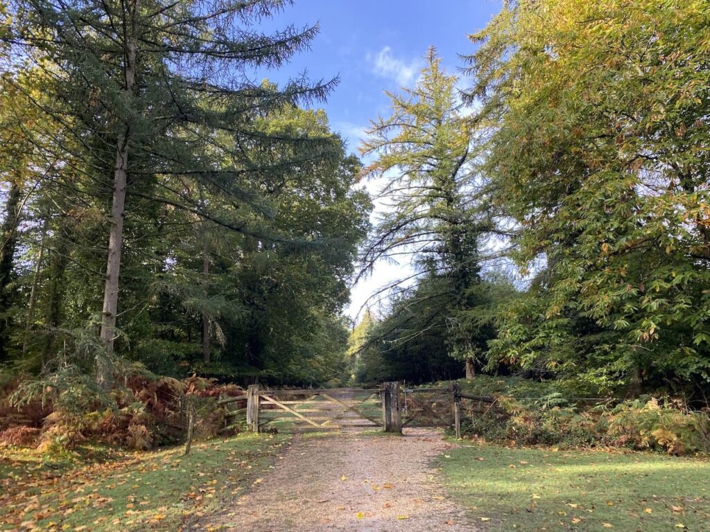
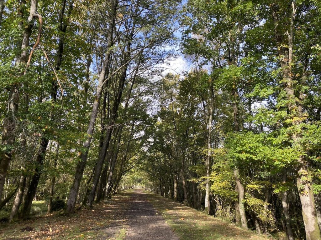
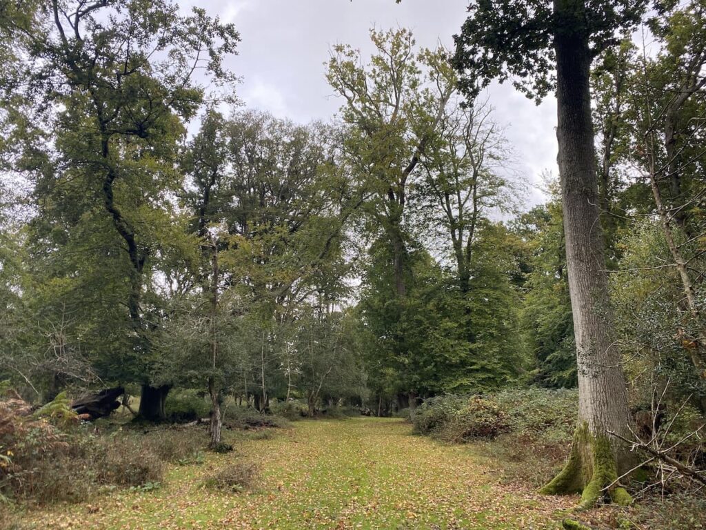
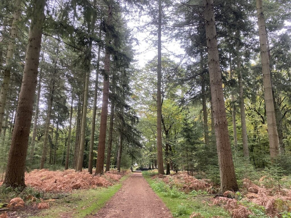
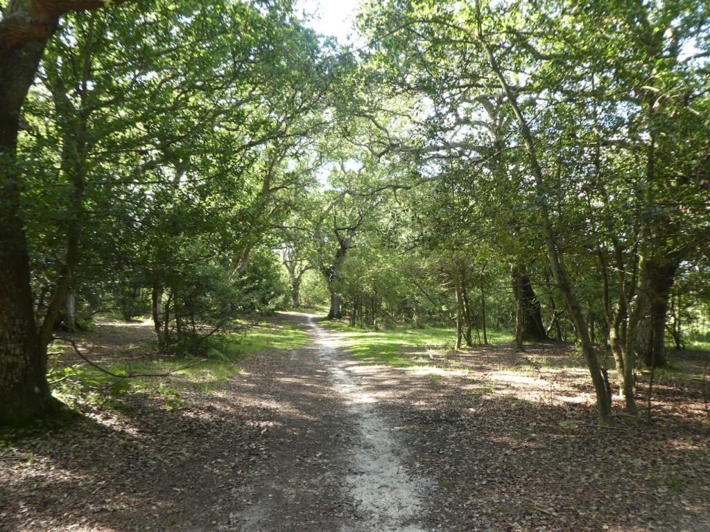
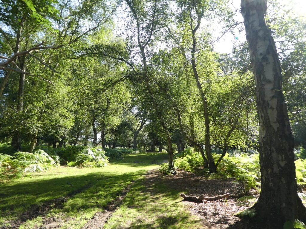
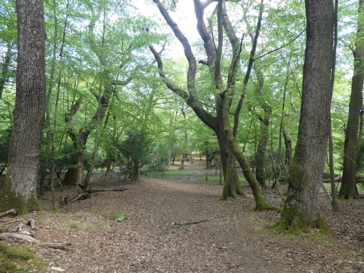
    We cross the next junction of tracks and at the next track crossing turn left.  We are now walking in a section of Island Thorns Inclosure, apparently the oak trees in this inclosure were planted closely together and as a result have grown unusually tall.  In recent times woodland management has resulted in the thinning of the oaks with many now piled ??  beside the track.

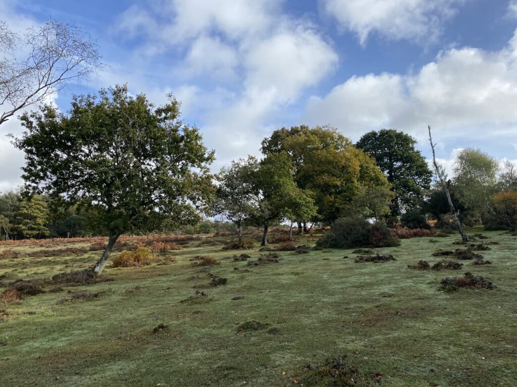
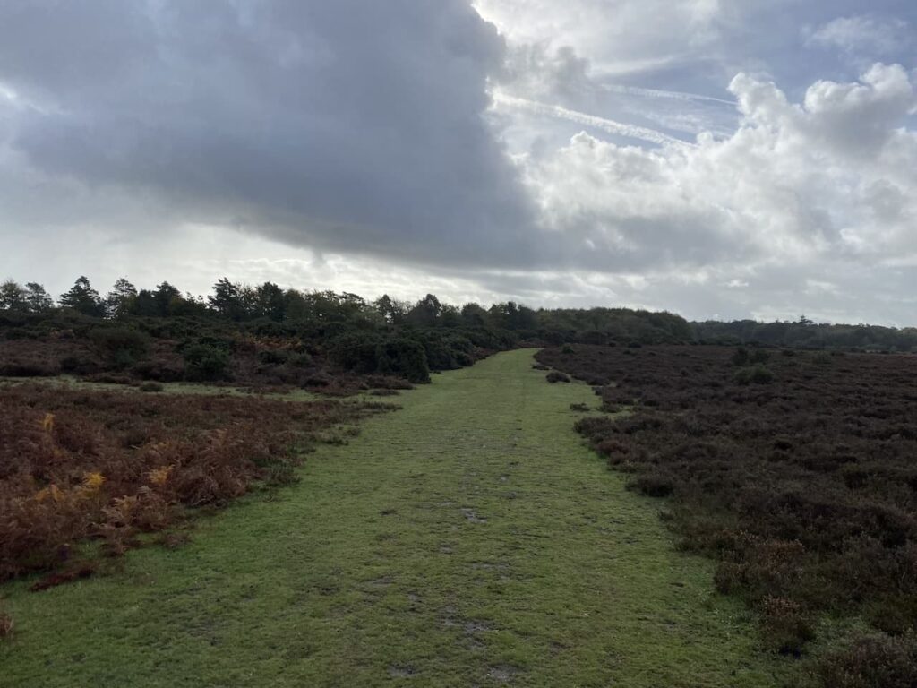
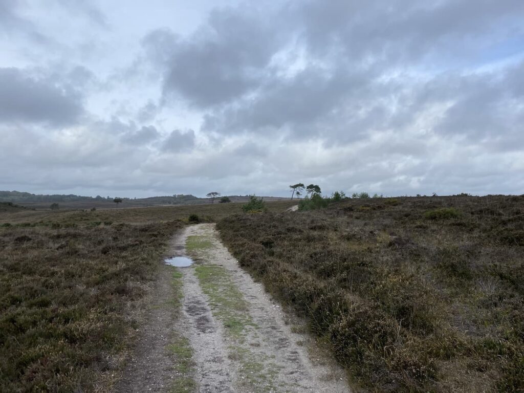
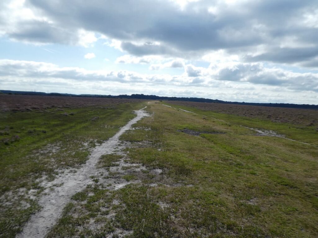
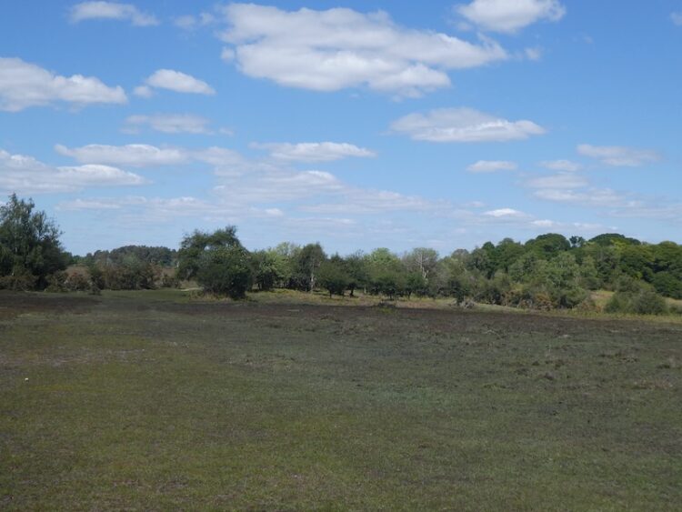
    This track takes us out of the woods and at a junction of tracks on Coopers Hill we turn right.  Despite being high up the heathland around the track is very waterlogged.

    During World War II this remote area of the New Forest was used as an RAF bombing range and the heathland is still littered with bomb craters.

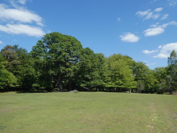
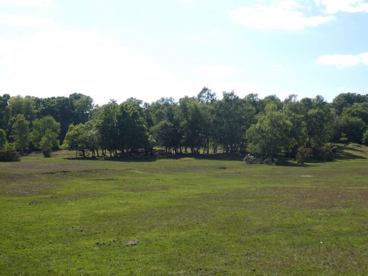
    Reaching a path on the left we leave the track and follow the path for a couple of hundred yards to meet another track where we turn left again and head south west towards a large clearing in the heathland.  This clearing is the site of “Walled Target 2” one of three walled targets in the area.

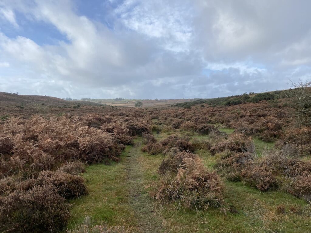
    On the ground there is the odd glimpse indicating wartime history, later a look at aerial maps of the area show clearly the scars left on the landscape.  We follow a path through the heathland, still heading south west towards a track on Lodge Hill.  

    At the track we turn left and soon start descending towards a clearing.

    The clearing in this area between Lodge Hill and Pitts Wood was the site of a former keepers cottage known as Ashley Lodge.  During World War II when the surrounding area became a bombing range the inhabitants were relocated.  The house soon became derelict and reduced to ruins, however eighty years later there are still indications that a house once stood on this spot.

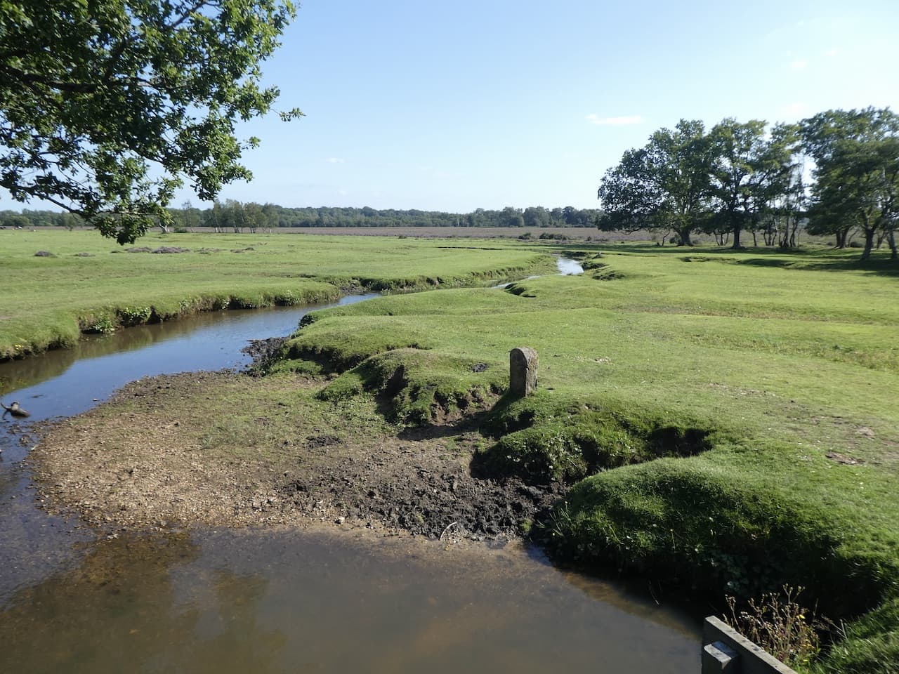
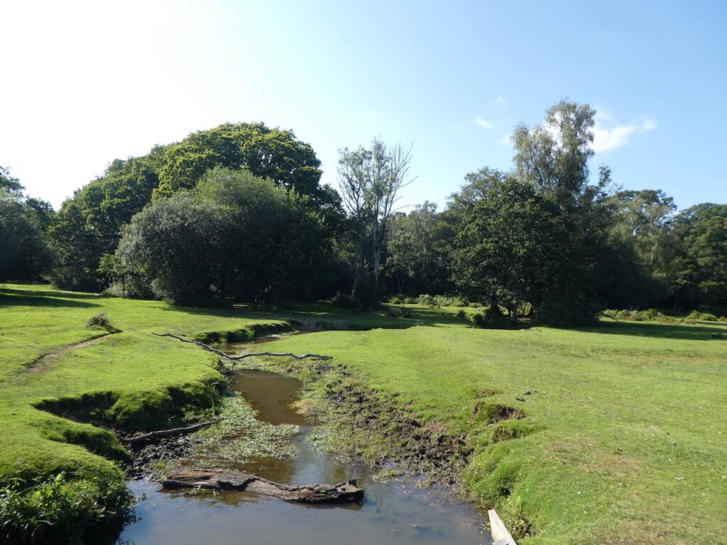
    Continuing along the track we cross a ford in Ashley Bottom and then head uphill to Pitts Wood.

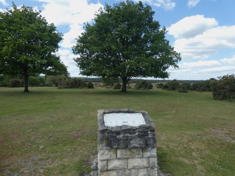
    On our left is a plaque stating that Pitts Wood was enclosed in 1775 and thrown out in 1816 and then re-enclosed in 1906.

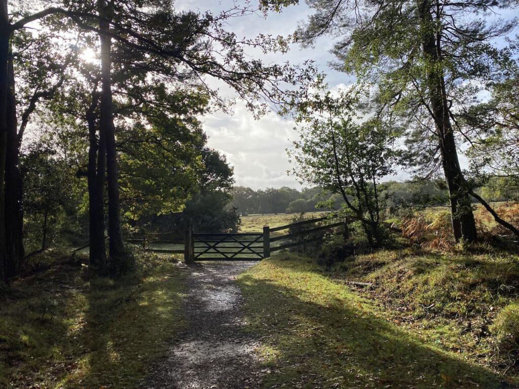
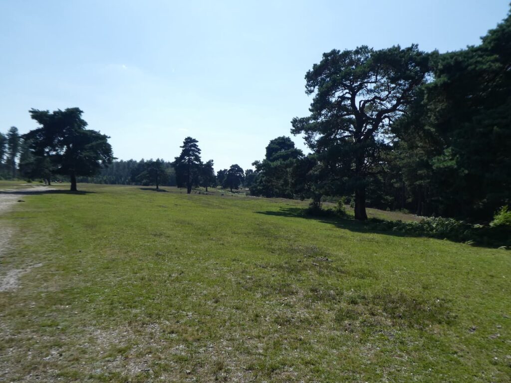
    We carry on through the edge of Pitts Wood before traversing across the flooded heathland towards Hampton Ridge.

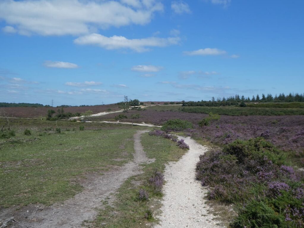
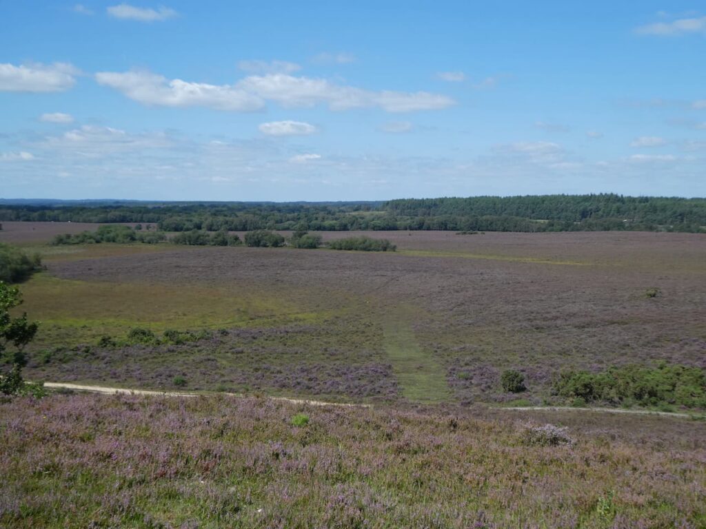
    Now high up we have wide ranging views across the New Forest.  

    We have joined a cycleway and follow this heading west.  After a couple of hundred yards we take a short detour from our route, following a path on the left running almost parallel to the cycleway. It passes a concrete directional arrow which formed part of the war time bombing range.

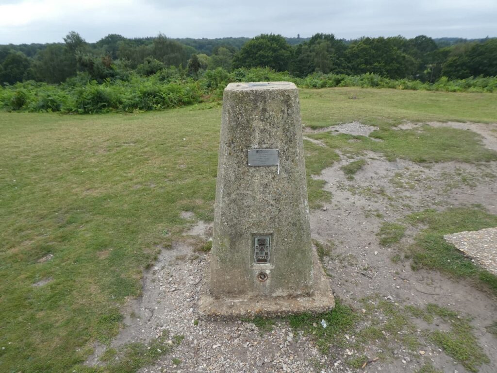
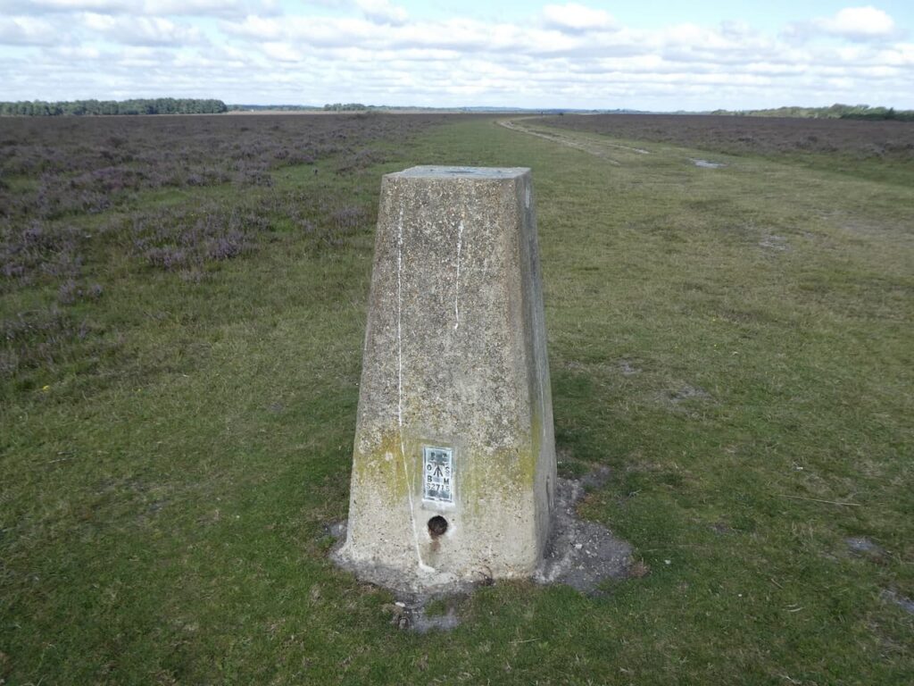
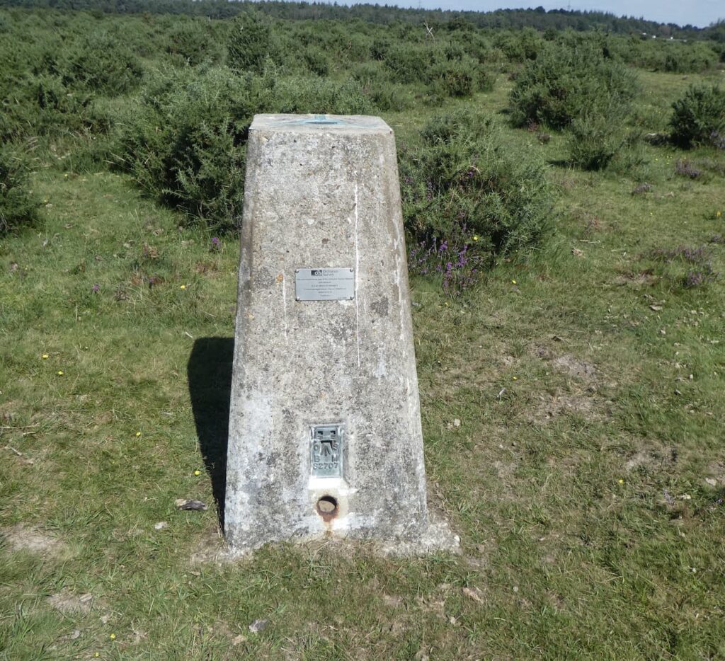
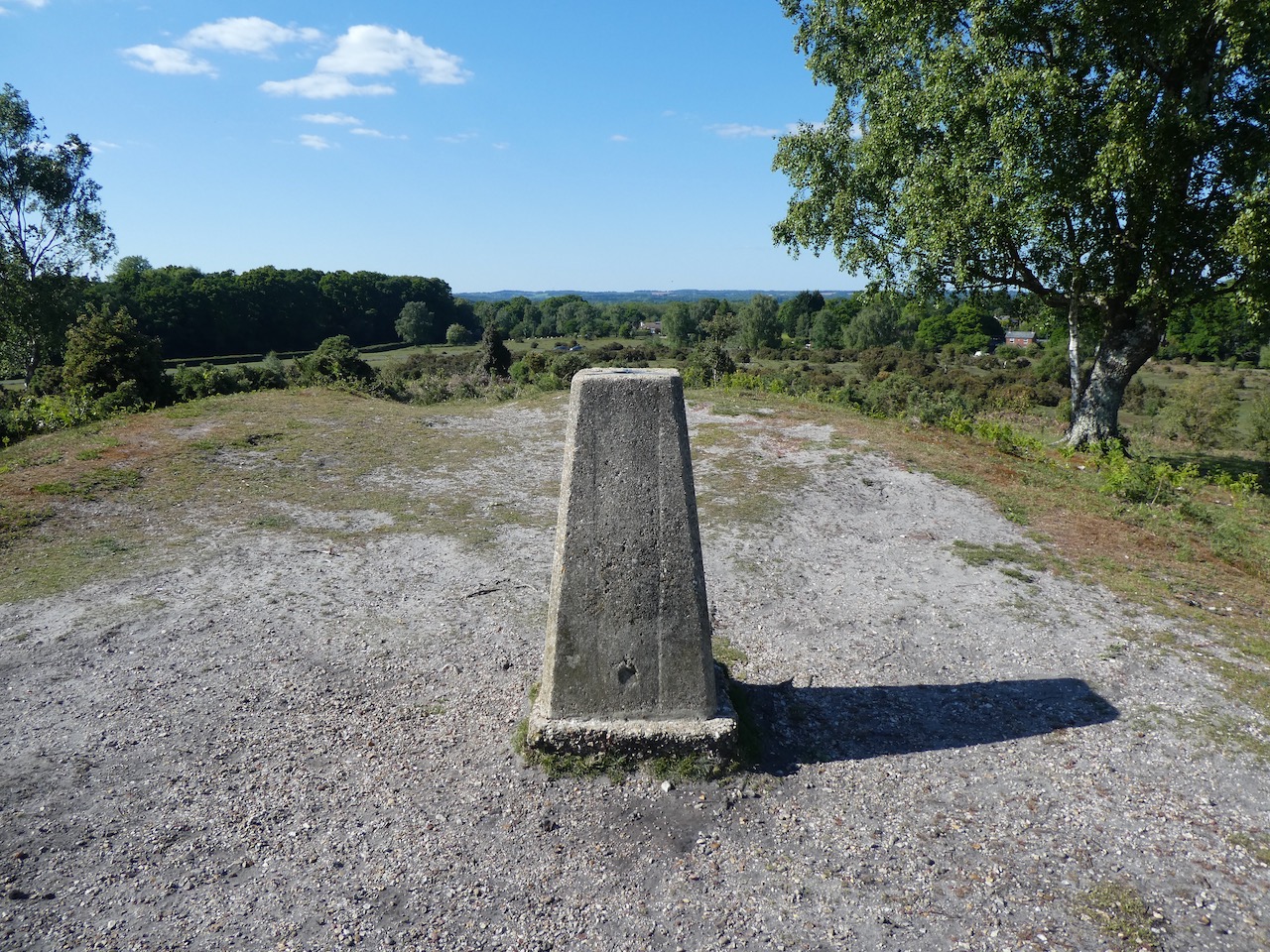
    We follow the path to rejoin the Hampton Ridge and then pass the Ordnance Survey Trig Pillar that sits on this ridge.  I have bagged this trig on a few occasions, but it is always worth making a slight diversion to look at a trig!

    Returning to the cycleway we keep on the broad gravel track towards Abbots Well and Frogham.

    The cycle way joins a minor road and we continue towards Frogham, before heading uphill we pass the Abbotts Well.  This inauspicious site is easy to miss but in medieval times it would have been a vital watering hole for travellers through this area of the forest as they headed towards Southampton.  The plaque besides the well states it was first recorded in 1215.

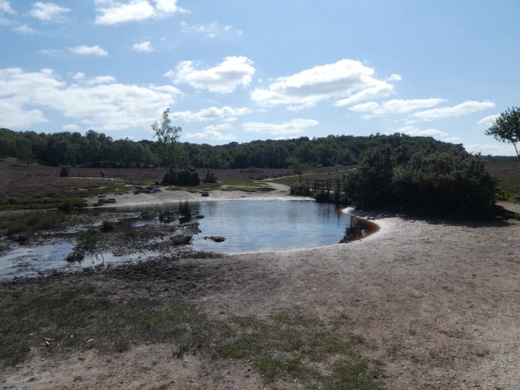
    After a short section on the minor road we turn left and walk through Abbots Well car park and pass a large pond before heading west onto Hyde Common.

    After passing properties the path goes towards the south west, crossing a minor road and continuing to the edge of Gorley Common.  Here we quickly take a track on the left leading towards Dorridge Hill.

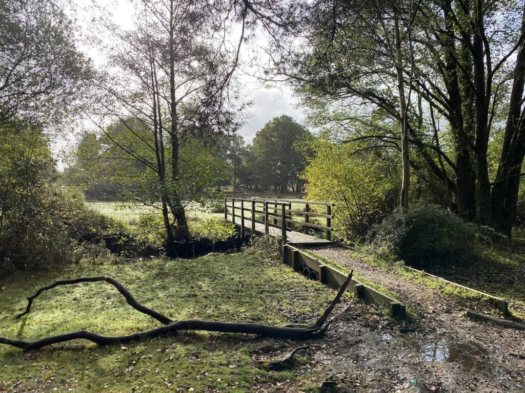
    After crossing a footbridge beside a ford we go over a minor road and then continue to ascend  Dorridge Hill.  So far the weather has been kind to us and it has remained dry but the sky ahead suggests we might get wet at some point soon.

    We now follow tracks and paths towards Hasley Inclosure.

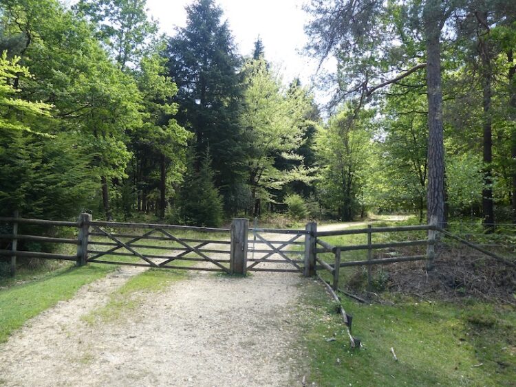
    We don’t enter the inclosure but instead take a track to the right that skirts the edge of the woodland.

    At the eastern edge of the inclosure we join a track going towards Sloden Inclosure but after a couple hundred yards at a junction of tracks turn right to head downhill towards Splash Bridge.

    Splash Bridge takes us over Dockens Water and into Broomy Inclosure.  

    In the Inclosure we turn to the left and follow a cycleway to a crossroads of tracks where we go left again.

    On leaving the woods the track goes to the right passing Holly Hatch Cottage and we cross  Dockens Water again.

    The track now heads up to Ragged Boys Hill and passes woodland beside Sloden Inclosure.

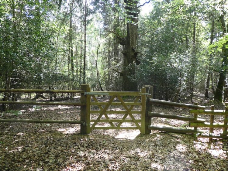
    Near a gate to the inclosure we join a track and head northeast across Hiscocks Hill on a track returning us to our starting point.

    Our walk has covered just over thirteen miles and despite the threatening sky we have avoided any serious rain.

    You can view this 13 mile walk on OS Maps and download the GPX File Here

    To follow this walk you will need Ordnance Survey OS Explorer Map 22 – New Forest

    13th December 2023

    © Two Dogs and an Awning (2023)

    All information on this site is provided free of charge and in good faith and no liability is accepted in respect of damage, loss or injury which might result from it.  To the best of my knowledge the routes are entirely on public rights of way or within areas that are open for public access.
    Walking can be hazardous and is done entirely at your own risk.  It is your responsibility to check your route and navigate using a map and compass.
  • Reaching 2,022 Miles in 2022

    Reaching 2,022 Miles in 2022

    This is my fifth year of walking the year, I started in 2018 with a challenge to walk 2,018 miles in the year and in doing so sought to raise over £2,018 for the Trussell Trust.  It was supposed to be a one off but it has become an annual event partly because the need to raise funds for this excellent charity, supporting those living in poverty, is even greater than it was five years ago.  In itself a terrible indictment of the political leaders who have become obsessed in extricating the Country from our European neighbours and ignored the most vulnerable in society.  As the Billy Bragg song goes there will be a day of reckoning, hopefully sooner rather than later!

    Walking soothes my soul.  It helps me manage the challenges of life and keeps my head on the right way around.  So I don’t need a mileage target to motivate me to lace up my boots and head out.  However, having the target means on days when I have walked a couple of miles and could turn for home I keep going.  

    Despite being on the cusp of reaching this year’s target with well over two months to spare I have found 2022 the most challenging year.  This is mainly due to picking up an ankle injury in the spring, it required rest, but I don’t do rest well and tried to punch on.  Of course it soon reached the stage where I could not walk more than a quarter of a mile without being in agony.  Thanks to excellent treatment and a recuperation period involving rest and exercises I gradually got back to full walking fitness.  However, it took almost three months before I was back to doing long distances. 

    It had never occurred to me that an injury could curtail my walking.  I am not an elite athlete but considered myself able to comfortably walk twenty miles a day for a prolonged period without any problem.  So an injury made me appreciate how athletes and sports players must feel when they pick up injuries which put them out of action for weeks or months.

    Knowing I am only seven miles from reaching 2,022 miles I have decided to venture somewhere different for today’s walk.  I don’t often go into the New Forest despite it being fairly close to home.  But doing the National Navigation Award Bronze and Silver courses with Nigel from New Forest Navigation introduced me to parts of the Forest I had not previously visited.  Today’s walk starts in Anderwood, a few miles south of Lyndhurst just off the A35.

    The starting point for my walk is the Forestry England car park at Anderwood, (OS Grid Reference SU248058).  From the car park I head south through a clearing and cross a minor road to enter Dames Slough Inclosure.

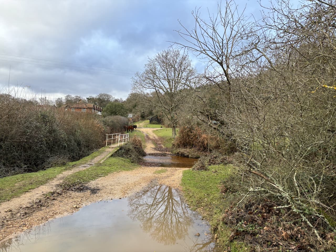
    The track I’m following heads south through the trees and crosses a footbridge over Black Water.

    150 metres from the bridge I ignore a track on the right, instead I continue south and then stay on the track as it sweeps to the right.  The track leads to a gate which I go through before continuing  west towards Cockroad Hill.

    About 700 metres past the gate I reach a junction of tracks and turn left and stay on this path for 200 metres before turning left along a ride which heads south to a gate at the edge of the inclosure.

    Turning left I follow the inclosure fence line to cross two footbridges and then follow a path in a south easterly direction over Redrise Hill.

    After crossing the hill I descend to reach another footbridge.

    Now I continue heading south, initially crossing a stream and then heading uphill on a clear track leading to the top of Rock Hills.

    As the track levels out I turn left at a junction of paths and after 250?? metres turn right on a grassy track. To my left near the A35 is the Parkway Hill OS trig pillar, I have previously bagged this trig so don’t make the diversion today.

    The path leads to a junction of paths near the A35 at Wilverley Post.  I initially continue south but after 25 metres turn to the right to follow a path down a valley into Scrape Bottom.

    I had initially planned to turn left at a junction of paths, however, decide to follow a faint path that follows the contour line around the hill and heads south towards a minor road.

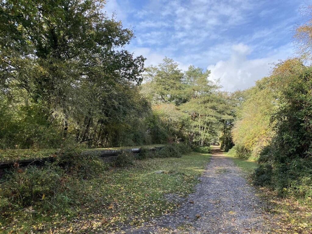
    I cross the road beside a cattle grid and then turn left to take a pathway besides the road which leads to a path along a disused railway track.  I turn right and walk beside the remains of the platform of the former Holmsley Railway station.  Apparently when the station was opened in 1847 it was known as Christchurch Road but was changed to Holmsley in 1862.

    I now follow the track bed of the old Southampton to Dorchester railway line.  This was opened in 1847 and was part of a greater scheme to create a coastal route from Southampton to Exeter.  The railway operated for passengers until the 1960’s. Apparently there has been a campaign to re-open this section between Brockenhust and Ringwood, but it is currently viewed as a low priority.

    My route is very straightforward following the railway line for 2.5 kilometres heading west towards a car park at Burbush.

    It is now a cracking day and it is clear this section of path is a popular venue for weekend walkers and cyclists, so I am grateful when I reach the car park at Burbush.  After walking through the car park I cross a minor road (Pound Lane) and then take a path that heads north westerly towards Long Pond.

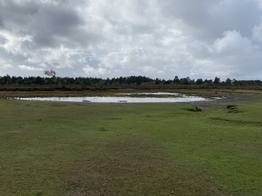
    The path goes to the north of the pond, which following an exceptionally dry year looks more like a large puddle.  Even the rainfall of the last few days has had little impact.

    I now take a clear path heading north through Church Moor towards Black Bush.  At a fork in the track I keep to the left following the wider of the two paths.

    At the next junction of paths I go to the left heading towards a minor road.  At the road I cross and continue, soon reaching a fork in the path where I keep left to head through Broad Bottom.  There are a network of paths but I have the clear landmark of Vereley Hill Mast in front of me.

    The path goes up the hill and then passes a copse heading towards Vereley car park.

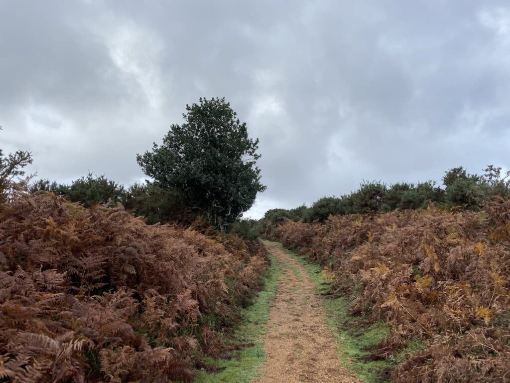
    After passing the car park I continue straight on along a clear path through the gorse and bracken.

    At a junction of paths I go straight on through a gap in the gorse to reach Smugglers Road.  This is a broad track and I turn right.  During the 1700’s and early 1800’s the New Forest was rife with smugglers, the proximity to coastal inlets and close knit communities provided an ideal environment to avoid the attentions of excise men.  Burley is thought to have been a smugglers haunt.  Apparently when renovations were undertaken at the Queens Head Inn in the late 1900’s a secret cellar which still contained firearms and contraband was discovered.  Smugglers Road linked the hamlet of Knave’s Ash with the trading post at Ridley Wood.

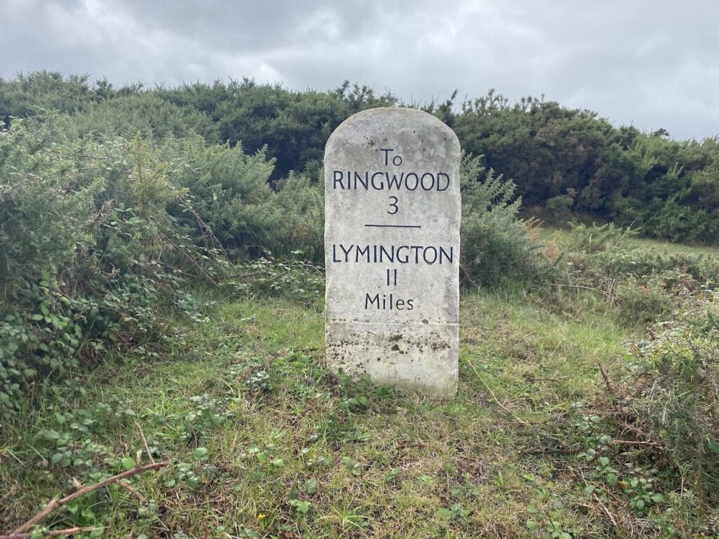
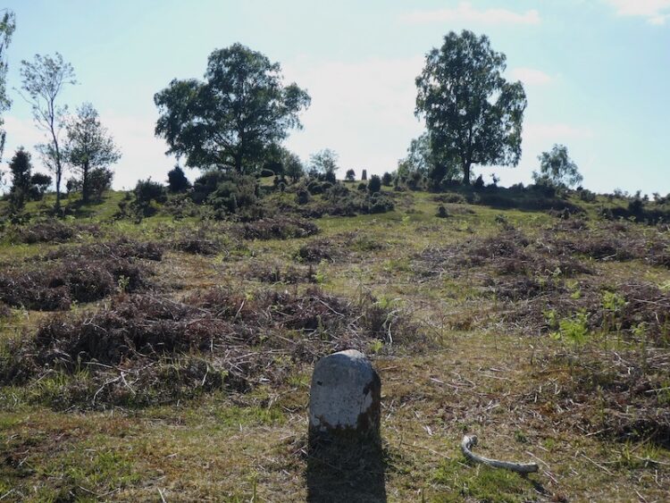
    After 300 metres I reach a road, where I turn right and walk the short distance to reach a Milestone which dates back to the early 1800’s, it shows that I am currently 3 miles from Ringwood and 11 miles from Lymington.  It also signifies that the road here was once a turnpike road because Milestones did not come into general use until the Turnpike Act of 1766 made them compulsory on turnpike roads.  This was an early form of PFI construction because  these roads were built by private enterprise under licence from the Government and maintained by tolls on those who used them. 

    I now cross the road and turn right and follow a track for 100 metres and then turn left on a track that heads east towards Vereley Woods.  In the woods the track continues towards the entrance to Vereley Farm.

    On the track I turn left and follow a clear path towards Ridley Wood, this path initially goes downhill to cross Mill Lawn Brook.

    After crossing the brook I continue on the clear path heading north to reach Ridley Wood.  In the past these woods were the location of a popular trading post where forest folk and those from further afield, including Salisbury and Winchester, would gather.  Therefore, it was also popular with smugglers seeking to sell their contraband.

    At a junction of tracks I go right and head east on a clear path through the trees and on reaching a junction of tracks continue straight on along a path known as Sir Dudley’s Ride.  The route is so called because it was named after Sir Dudley Forewood in recognition for services rendered to the New Forest as Official Verderer from 1974 to 1982.  In his early life he was also the sole equerry to the Duke of Windsor after his abdication in 1937 until the outbreak of war in 1939.

    When I come across commemorative paths or plaques to the “great and good” I am often left wondering how many other more ordinary people have given time and effort to a community without any recognition for their dedication. 

    This track crosses a brook and then ascends steadily to go through the edge of Berry Wood to reach a tarmac drive where I go left passing the entrance to the Old House which was once the home of Sir Dudley Forewood.  I soon reach a junction of paths where I turn right through an area marked on the map as Soarley Bottom.  

    I am now heading east and keep going in this direction at a junction of paths to head towards a gate leading into Beech Bed Inclosure.

    In the woods I follow a broad grassy track, still heading east.  As I stroll along I can hear the distinctive sounds of stags bellowing, it is currently the rutting season and I am wary of getting too close to any stags.  The calls seem nearby, I can’t see the stags but proceed with caution.

    At a junction of paths I cross a cycleway and continue straight on. I have joined a cycleway to skirt around Burley Rails Cottage.

    I now head south for 200 metres to reach a crossing of tracks where I turn left and follow the track across Blackensford Brook. 

    Staying with the main track I continue straight on for a further 600 metres to reach a cycleway on the right beside a clearing.  

    I take this right turn and head south for a further 600 metres to reach a footpath on the left which leads me back to a track in Anderwood Inclosure where I turn right and walk the short distance back to the car park where I started my walk.

    Like many walks in the New Forest this one is difficult to describe because there are multiple options of paths which appear on the ground but are not shown on the map.  I therefore suggest that if you plan to follow this route you download the GPX file or make sure you mark up your paper map before setting off.

    You can view this 15 mile walk on OS Maps and download the GPX File Here

    To follow my walk, you will need Ordnance Survey Explorer Map OL22 – New Forest

    22nd October 2022

    © Two Dogs and an Awning (2022)

    All information on this site is provided free of charge and in good faith and no liability is accepted in respect of damage, loss or injury which might result from it.  To the best of my knowledge the routes are entirely on public rights of way or within areas that are open for public access.
    Walking can be hazardous and is done entirely at your own risk.  It is your responsibility to check your route and navigate using a map and compass.
  • Three Trigs from Lyndhurst

    Three Trigs from Lyndhurst

    Over the last couple of years my walking buddy Mandy and I have been brushing up our navigation skills by attending the National Navigation Award Scheme courses run by Nigel from New Forest Navigation.  So far we have achieved the Bronze and Silver awards and will soon be heading off to the Brecon Beacons for the Gold course.  

    I quickly realised that the skills learnt on the courses needed to be frequently used to ensure they  embedded.  So today Mandy and I are heading out into the New Forest with map and compass whilst leaving our electronic navigation devices in our rucksacks.

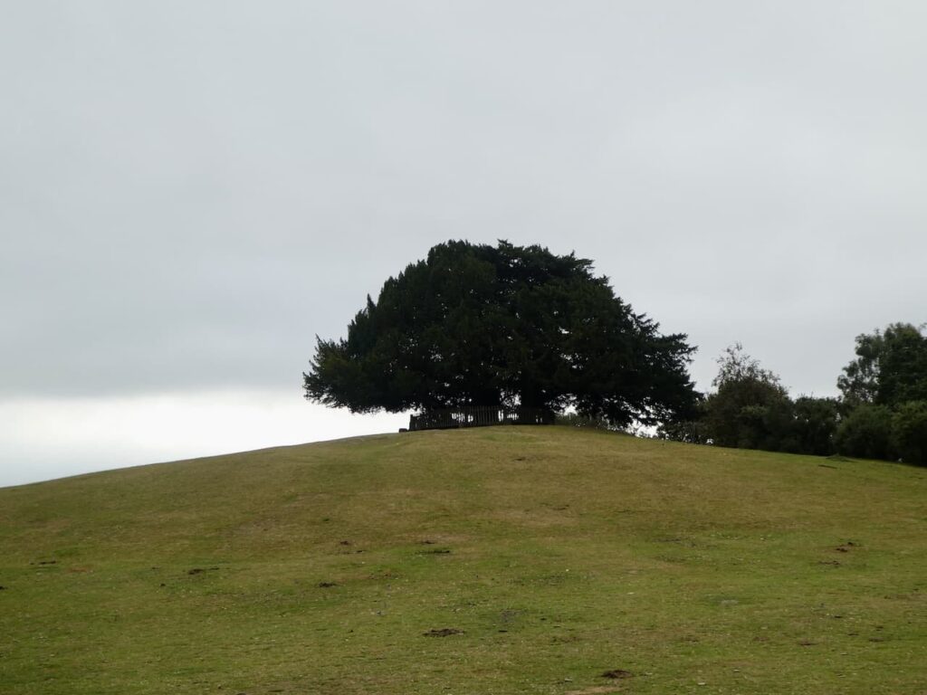
    The starting point for our walk is the Bolton’s Bench car park, this is just off the A35 near the centre of Lyndhurst (Grid Ref: SU 303081).  From the car park we head across the grazing land gradually ascending to Bolton’s Bench.   This circular bench around Yew Trees on top of a natural hillock dates back to the 18th century and commemorates the Duke Of Bolton, whose family were apparently Master Keepers of the Burley Bailiwick.

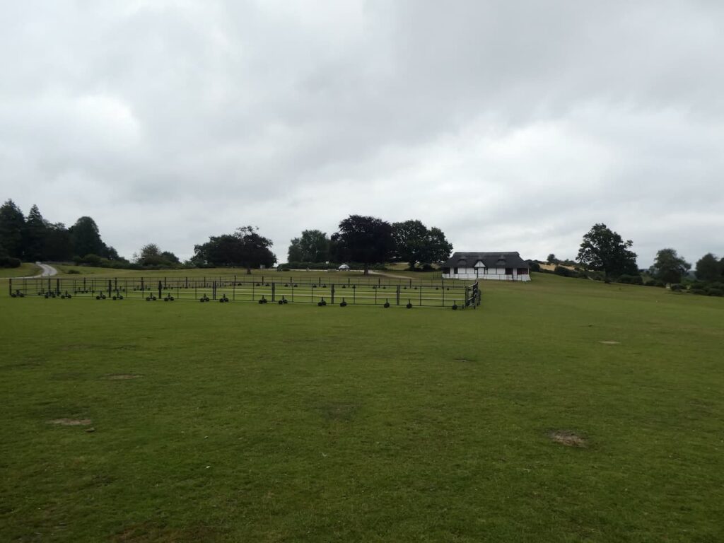
    To our left is the Lyndhurst and Ashurst Cricket Ground, in the past I played cricket on a number of Forest pitches but this is one I never visited.  It is a cracking location and has a stunning old thatched pavilion.

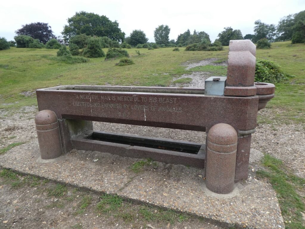
    After passing the pavilion we soon reach a sandy area and head uphill to reach a fine water trough with and inscription indicating it was installed in 1902.

    Close to the water trough is the Lyndhurst Trig Pillar, this was my 236th trig when I bagged it last December.

    We are now heading in an easterly direction along a broad ridge, marked on the map as Park Pale.  Apparently this bank was the edge of a medieval deer park which is recorded as far back as 1291, on top of the ridge stood a paling fence which enclosed deer in the Lyndhurst Old Park.  This is one of the benefits of following a map, you spot references that could easily be missed if just following a line on an electronic device.

    As the path nears a minor road we keep to the left of it and then follow a path around Matley Wood.

    After passing around the side of the woods we cross a footbridge on King’s Passage and soon turn left to cross open land towards the railway line at Fulliford Passage.

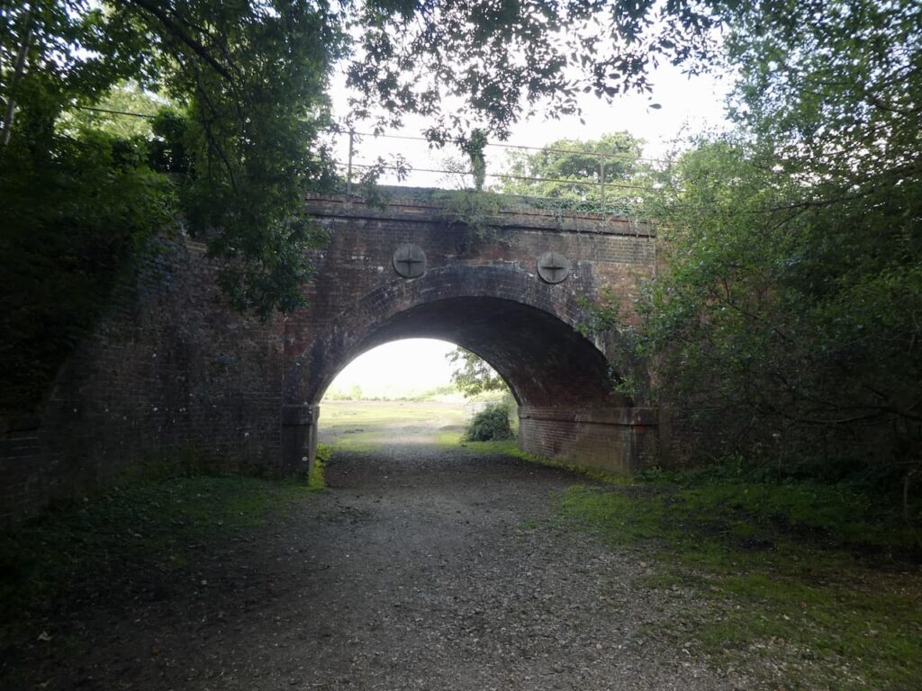
    We don’t go through the railway bridge but instead turn to the right and walk parallel to the line and then on reaching another bridge go under the railway line.

    We now head east towards Decoy Pond Farm and then at a junction of paths fork to the right and follow a broad path towards the OS trig pillar on Yew Tree Heath.

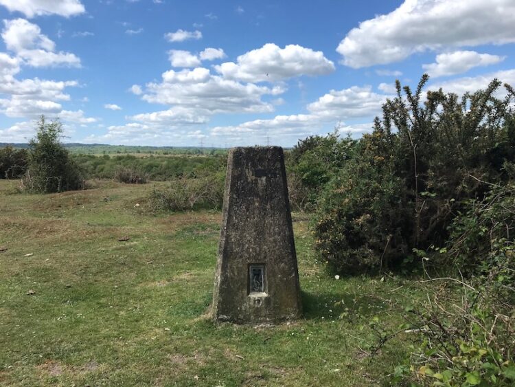
    The trig is close to the track so easily located.

    Soon after passing the trig we reach a driveway to a parking area and turn right to reach a road which we cross and then continue heading south to go through a copse at the edge of Ferny Crofts.

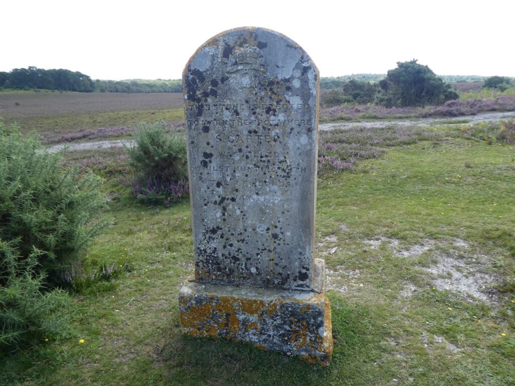
    At a boundary we turn left and follow a path through trees and out onto open heathland which is marked on the map as Gurnetfields Furzebrake.  Along this ridge the map shows the location of a monument so we divert from our route to explore.  “This stone is erected to mark the spot where S Carter was killed whilst hunting with the N F hounds 16 Jan 1883” This is historically interesting, but I have never been a supporter of hunting with hounds and welcome the fact it is no longer legal.

    Returning to the main path we continue along the ridge and follow the path as it veers south and then heads east again to cross North Lane.  Our route continues heading east along an attractive forest path.

    We stay with this track as it heads onto Beaulieu Heath going towards Beaulieu Road, just before reaching the road we head south to bag the Ordnance Survey Trig point at Hill Top.  This is a slightly odd name because it sits on a large plateau and is only 40 metres above sea level.  A more accurate name would be “Little Hill Top” trig pillar.  When I first bagged this trig last December it was my 238th.

    From the trig we retrace our steps rejoining the main track and following it for a couple of hundred metres before turning to the right and heading north towards Dibden Inclosure.

    The track heads down to cross a footbridge beside a pond and then at a junction of paths we turn right and head north.

    We are now following a broad track with expansive views away to the west.  

    The route skirts the edge of woodland and then drops to cross a minor road before heading into Marchwood Inclosure through Sleepy Hollow.  We now follow a path along a wide avenue of trees as we head to the northern edge of the inclosure.

    We stay along the edge of the inclosure to reach a minor road which we cross and continue along the edge of the woods towards Foxhill Farm.  Today the ground is firm underfoot but when I walked this route in the winter it was very boggy.

    After passing Foxhiil Farm we stay close to the fence line until we reach a minor road near the edge of Longdown Inclosure.  Turning left and then very quickly right we follow a path around the northern edge of the inclosure, this leads to a car park where we turn left on a broad track besides the woods.

    At a junction of tracks, close to the railway line we turn right and head in a northwestern direction through Deerleap Inclosure.

    At a fork in the track we go left and soon turn left again to cross the railway line and continue towards Ashurst Lodge.  On reaching the tarmac driveway to the Lodge we turn right and  walk beside the single track driveway towards the A35.  Shortly before reaching the road we turn left to follow a grassy path beside trees to head south towards Beaulieu River on Longwater Lawn.

    We cross the river on a footbridge and then turn right and follow a clear path through Foxhill Moor.  This path enters trees and then turns to the left to head south towards Lyndhurst cemetery.

    We skirt around the cemetery and follow the driveway back to the car park.  Our nineteen mile route has been interesting and we have only used the map and compass.  Like many walks in the New Forest this one is difficult to describe because there are multiple options of paths which appear on the ground but are not shown on the map.  I therefore suggest that if you plan to follow this route you download the GPX file or make sure you mark up your paper map before setting off.

    To follow my walk, you will need Ordnance Survey Explorer Map OL22 – New Forest

    You can view this 19 mile walk on OS Maps and download the GPX File Here

    26th August 2021

    © Two Dogs and an Awning (2021)

    All information on this site is provided free of charge and in good faith and no liability is accepted in respect of damage, loss or injury which might result from it.  To the best of my knowledge the routes are entirely on public rights of way or within areas that are open for public access.
    Walking can be hazardous and is done entirely at your own risk.  It is your responsibility to check your route and navigate using a map and compass.
  • Trigs and Memorials in the New Forest

    Trigs and Memorials in the New Forest

    As we are still unable to tour in the caravan I am once again exploring parts of the New Forest I have not previously walked.  A feature of this year has been the need to identify walks close to home that avoid contact with others.  It has given me an opportunity to seek out a few Ordnance Survey trig points I have not previously bagged.

    The starting point for today’s walk is the Abbotts Well Car Park close to the village of Frogham in the New Forest.  This location gets its name from the nearby roadside ancient well which apparently dates from 1215.  The southern end of the car park has a viewpoint with a toposcope  helping to identify points on the horizon.

    Leaving the car park I follow a track along the ridge heading west.  After passing a cottage on the left I take a path on the left and then after a couple of hundred yards turn left to follow a track downhill across Hyde Common towards a minor road.

    I cross the road and take a path running besides a cottage to reach another minor road where I turn left.  In a few hundred yards at a T-junction I take a track opposite and go southeasterly to reach access land as the track sweeps to the left I take a path opposite heading up Dorridge Hill.

    This path takes me over the top of the hill and then descends to a network of tracks and paths at Brogenslade Bottom.  I take a broad, uphill track in a southerly direction to reach Ibsley Common.  I have been here on previous occasions and decide to pop across to look at the World War II Direction Finding Station.  

    Originally the brick walls of this base were protection for a three storey wooden tower that stood within it and housed the High Frequency Direction Finding Station.  Known as Huff-Duff, it was part of the network of locations across the Country used to track Allied Aircraft and help them to intercept enemy aircraft.   The tower was made of wood to reduce interference and housed the equipment and operators.

    From the Huff Duff I return to the track and head in south westerly direction to reach the Ordnance Survey trig pillar at Whitefield Plantation, this is one I have previously bagged.

    After the trig I keep heading south west to reach a junction of tracks.  I turn to the left and head south easterly towards a footbridge over Dockens Water.

    After crossing the stream I head uphill to reach a minor road and cross to follow the footpath uphill and then drop down to cross a stream in Big Whitemoor Bottom.

    I now head uphill to Rockford Common where the path heads to the east and then at a junction of tracks I turn right to walk besides a track heading south.

    On reaching a road I turn left and walk besides the road to pass the entrance to a car park at Linford Bottom before crossing a stream.

    At a road junction I go left, staying with this road as it bends to the south and heads steadily uphill.  On reaching a cycle track on the left, opposite the entrance to Broomy Hurst, I leave the road and follow the track over Picket Hill.

    There’s a network of paths up here, but I stay with the cycle track to reach the underpass of the A31 at Picket Post.  It is now a very hot day and the underpass is obviously a favourite spot for New Forest Ponies seeking some shelter from the sun.  The ponies are totally ambivalent of me as I squeeze by them.

    On the far side of the tunnel I take a path heading east towards Ridley Wood.

    The route descends to cross the attractive Mill Lawn Brook before heading up to reach the edge of Ridley Wood.

    After passing through the woods I stay with a track, Sir Dudley’s Ride, named after Sir Dudley Forwood, 3rd Baronet (1912-2001); apparently he was the sole equerry to the Duke of Windsor after his abdication.  Following World War II Sir Dudley moved to the New Forest and held a number of roles within the local community.

    The route soon heads north besides Berry Wood and then continues on towards Backley Inclosure.  On a sunny June day it is very exposed here, there is no cover and the heat is oppressive.  The track passes the inclosure and then becomes a fainter route as it descends through Backley Bottom and then heads up to Bratley Wood.

    At a track I turn right and then after a few hundred yards turn left to follow a path towards a footbridge over Bratley Water.

    After crossing the footbridge I follow a route up to reach a cycle way at a gate into Bolderwood Grounds, here I turn left following the cycle way as it heads steadily uphill towards a car park.  I am no fan of cycling, whenever I get on a bike I end up with a bad back.  I meet a group of cyclists who are finding it difficult to ride up this track and soon realise I am gaining ground on them, then they suffer the ultimate humiliation of being overtaken by a walker!  At which point they decide it is time to stop for a rest.  

    Nearing a minor road I skirt the busy car park to avoid contact with others and head across to the Canadian Memorial.  Apparently it was here that on 14th April 1944 Rev Keith Perdue, Chaplain to the 3rd Canadian Infantry Division, erected a cross and held services for the servicemen preparing for the Normandy Invasion on 6th June 1944. Sadly many of these men did not survive the invasion and subsequent battles.  

    Leaving the Memorial I head north besides the road and then very quickly turn right onto a track into Bolderwood.  At a fork in the track I go left, leaving the main track to join a grass track heading downhill through the trees and bending to the left to reach the edge of an inclosure where I turn right and cross a footbridge over Long Brook.

    I stay with a path close to the border of the inclosure heading towards Stonard Wood.  I then follow the path through the woods, still close to the edge of the inclosure to reach the Ordnance Survey trig pillar at Harts Hill, this is the 210th trig I have bagged.

    From the trig I head north west on a track to the northern edge of Stonard Wood where I turn left until I reach a path on the right towards Withybed Bottom where I turn and follow the path down towards Long Brook known as Murray’s Passage.  

    Just after crossing the brook I spot the memorial stone to Admiral Murray who was killed in 1901 whilst out hunting.  The track through Withybed Bottom was constructed as a safe passage across the boggy land in memory of Murray.

    After ascending the other side of the valley I reach a track close to a pond and turn left to head south easterly to Lucas Castle.  After passing over the hill I descend to cross a stream at fords and turn right following a track to a junction of tracks at Fritham Cross Hollies where I turn right heading for the A31 underpass.  Emerging on the east side of the A31 I soon take a track to the left and follow this to Slufters Inclosure.  In the Inclosure I follow a track to a crossing where I turn left to join a cycle way.
    I follow the cycle way through the inclosure to reach a minor road which I cross and continue through more trees.  Emerging from the trees I turn left on a track heading towards the A31 and then keep with the track as it sweeps to the right and heads east to reach the trig point on Bratley Plain, my 211st.

    Now I stay with the track heading east to reach Roe Inclosure.

    In the Inclosure I stay on the track heading east towards Amie’s Corner.  On reaching a gate besides Roe Cottage I go through and then turn right to follow a grassy path to reach a minor road where I turn right to follow a path besides the road to reach a car park.  Here I cross the road to follow a track through Broomy Walk to head steadily downhill to pass the High Corner Inn.

    After passing this pub I continue on a track and on reaching Dockens Water cross on a footbridge.

    The route I now take is north east across the common heading steadily uphill to pass Hasley Inclosure.

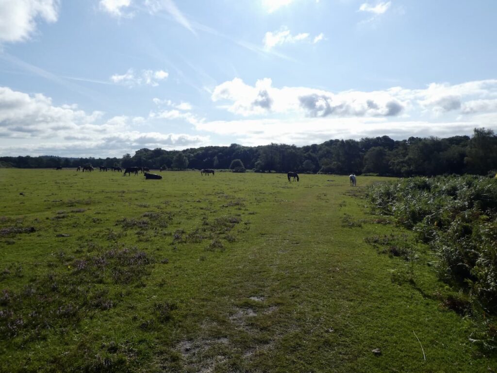
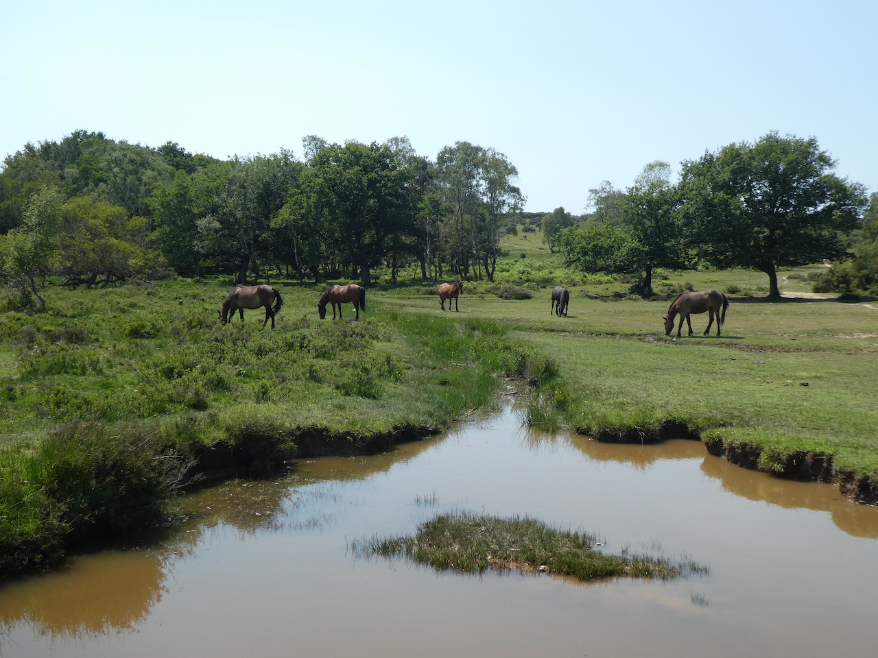
    Then I continue on across Hasley Hole.  This area appears to be a meeting spot for ponies.

    On reaching a track I go right to head north crossing a footbridge and then going by Ogden’s Farm.  Staying with the track until I reach a path below Abbotts Well Car Park where I turn right and make the short ascent to my starting point.

    My walk has covered 21.5 miles on a very hot day.  It has been interesting exploring these parts of the New Forest.  The area of the forest that I have walked around is littered with tracks and paths so if you plan to follow my route I would recommend downloading the GPX file.

    To follow my walk you will need Ordnance Survey Explorer Map OL22 New Forest

    You can view this 21.5mile walk on OS Maps and download the GPX File Here (Subscription to OS Maps Required)

    23rd June 2020

    © Two Dogs and an Awning (2020)

  • Two Trig Pillars and The Rufus Stone

    Two Trig Pillars and The Rufus Stone

    The lockdown restrictions on travel were eased yesterday and whilst we are still being extremely cautious I am getting into the car for the first time in weeks and starting a walk from a location other than my home village.  It feels really strange driving again and the roads are extremely quiet as I make the short journey to Canada Common on the edge of the New Forest.

    The starting point for my walk is the car park on the edge of Canada Common (Grid Ref: SU287177).  There are a lot of people sat around the car park, I hope this doesn’t mean I will encounter too many folk whilst out walking. 

    Leaving the car park I head north on a path across the Common and stay with this route until I reach an Ordnance Survey trig pillar.  This is the 200th I have bagged.

    Like many others concern over the current situation around the Covid-19 pandemic has disrupted my sleep.  A few nights ago I was awake during the night and struggled to get back to sleep.  Lynnie suggested that a good way to drop off would be to count the trig pillars I have visited.  I started in the Scottish Highlands and headed south; I was asleep before I reached the Yorkshire Dales!

    The area I am walking is open access land, but where possible I stick to paths as I don’t want to disturb ground nesting birds or other wildlife.  From the trig pillar I follow a path heading north and gradually descend to join another path where I turn left and head south along the bottom of West Wellow Common.

    I stay with this route until I reach a junction of paths; here I turn right and head west across Plaitford Common heading towards Deazle Wood.

    The path leads into the woods and then I fork left to head south through the trees to reach a minor road and turn right to follow it.  After a quarter of a mile, just after crossing a stream, I turn left and take a path heading south westerly through trees.  This track soon joins a gravel driveway and I stay with this until I get to a minor road.

    After crossing the road I continue on into Bramshaw Wood.  There are a network of paths in these woods and I am glad I brought my map and compass so I can keep heading in the right direction.  Before the lockdown I completed the Silver National Navigation Award Scheme course with Nigel from New Forest Navigation.  I have walked for years with a map and compass but a mishap in the Yorkshire Dales a few years ago made me realise that I needed to be a lot more confident in navigation.  So walking through woods like these are a good test of my contour reading and pacing skills as I head towards Black Bush Plain.

    On leaving the trees on the edge of Black Bush Plain I fork left on a track going south across the plain towards the Bramble Hill Walk car park besides the B3078, Roger Penny Way.

    I stay besides the road and head to Long Cross crossroads, here I continue by the Roger Penny Way for a couple of hundred yards before turning right to cross the road to take a footpath heading south into woods. Initially the path is not easy to spot, but it soon reaches an inclosure and I keep heading south with a boundary fence to my right.

    After going through a gate the path becomes more well used and continues to reach a broad gravel track.  I turn left along the track through Salisbury Trench, it is a cycle way so easy to follow and today not a single bike passes me.   

    At a junction of cycle ways I turn left and follow the track to a gate leading to a clearing between inclosures. The track now goes through a gate into King’s Garn Gutter Inclosure.  

    At the next junction of cycle ways I turn left and follow a gravel track through the woods to a clearing on the edge of the inclosure. Here I turn left and head east along a path, soon crossing Coalmeer Gutter. 

    At a fork in the path I go right to continue across access land towards a minor road and the Rufus Stone.  The path across this access land is not clear so I take a bearing with my compass to ensure I am heading in the right direction.

    As I near the minor road I turn left and soon reach the Rufus Stone.  This stone is supposed to mark the spot where King William II, also known as William Rufus, was fatally wounded by an arrow whilst out hunting on 2nd August 1100.  The deadly arrow was said to have been shot by Sir Walter Tyrrell and had ricocheted off a tree. By all accounts Rufus was not that popular so few people mourned his death and his body was transported to Winchester Cathedral by a local charcoal burner.

    More recently doubt has been cast on whether this is the actual location, historians think it may well have been nearer Beaulieu and it has also been suggested that Sir Water might have actually intended to do away with the King.  Within three days William’s brother Henry was crowned King.

    My route now follows the road to pass the Sir Walter Tyrrell pub.  Originally the pub was the building next door which is now a holiday cottage.  I have not visited this pub for over forty years, perhaps when things return to normal I will bring Lynnie here.  However, her memories of this area are scarred by her coming off her bike in front of the very busy pub garden whilst on a bike ride with the children.  She never used the bike again!

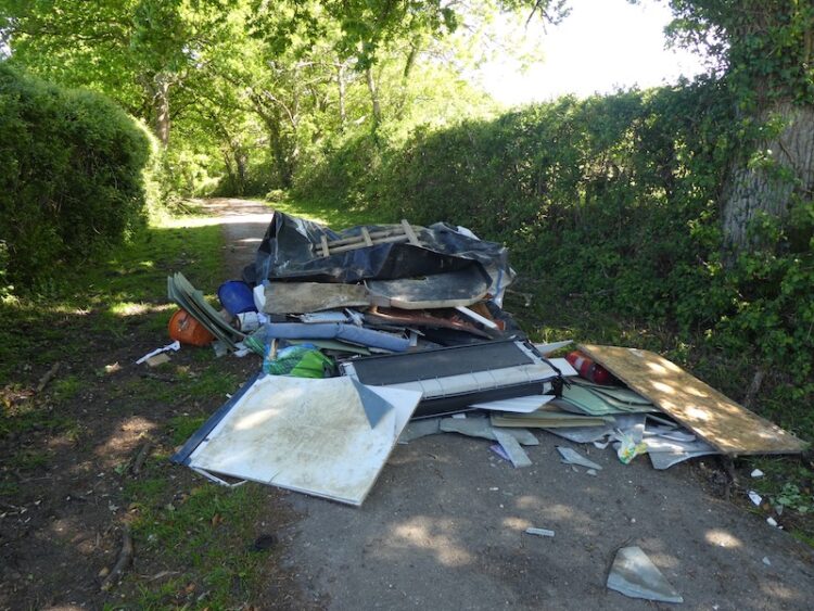
    The route now follows the minor road through Upper Canterton and when the road bends to the left I take a bridleway on the right heading towards Lower Canterton.  Some mindless individual has decided this would be an ideal spot to fly tip.  I find this type of behaviour absolutely abhorrent and take pictures so I can alert the Council.  Hopefully they will be able to trace those responsible.

    Still fuming about the fly tipping I continue along the track and then enter woodland and on reaching a house turn left to follow a footpath that soon joins a minor road.  This leads to the B3079 in Brook, where I turn left and then after a short distance cross the road at the pull in for Cedar Cottage and go through a gate to take a bridleway along the edge of a copse.  To my left is Bramshaw Golf Club, a course I played once, over forty years ago.

    The bridleway reaches a minor road where I turn right and soon pass Warren’s Farm. I stay with the road until I pass cottages on the left and reach a clearing.  Here I go left to take a bridleway heading north towards Cadnam Common.

    On the Common there are a network of tracks and paths, I take a route that continues north towards the prominent Stagbury Hill. This is a cracking common and apart from one other couple in the distance I have the vast space to myself.  

    I pass a pond and then start a steady ascent to reach the summit of Stagbury Hill.  This is such a prominent feature with a commanding view across the common.  It also has an Ordnance Survey trig pillar, my 201st bagged.

    As part of the navigation course I attended a few months ago we had to locate a couple of boundary markers.  I see on the map that there is one on the side of this hill so take my bearing and measurements and pace off to find it.  As it happens it is easy to locate and exactly where I expected it to be!

    I now follow a path across Furzley Common to reach a crossroads.  I turn left and follow the minor road to reach access land on Penn Common.  

    At a gravel track on the right I walk away from the road and continue to cross a stream at Moor Bridge.  The track now leads onto Canada Common where I follow paths heading in a northerly direction to return to my starting point at the car park.

    My walk has covered thirteen miles and it has been interesting to explore parts of the forest I have not visited for years; the only downside was the fly tipping but that will be reported as soon as I get home.

    To follow my walk you will need Ordnance Survey Explorer Map OL22 New Forest

    You can view this 20 mile walk on OS Maps and download the GPX File Here

    14th May 2020

    © Two Dogs and an Awning (2020)

    All information on this site is provided free of charge and in good faith and no liability is accepted in respect of damage, loss or injury which might result from it.  To the best of my knowledge the routes are entirely on public rights of way or within areas that are open for public access.
    Walking can be hazardous and is done entirely at your own risk.  It is your responsibility to check your route and navigate using a map and compass.