It is another warm day with bright sunshine, so as far as Lynnie is concerned it is definitely a day for an ice cream. Then again with Winstone’s Ice Cream parlour nearby Lynnie would describe most days as an ice cream day.
Last summer we did a walk around a section of Rodborough Common, today’s walk is a slightly shorter version of that walk. In this very warm weather we are avoiding walking up too many hills.
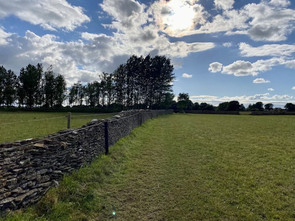
We leave the caravan site by the footpath alongside the ménage and then head across paddocks to join another footpath close to the road. Here we stay in the field and turn right to walk along the edge of the field with the wall on the left.

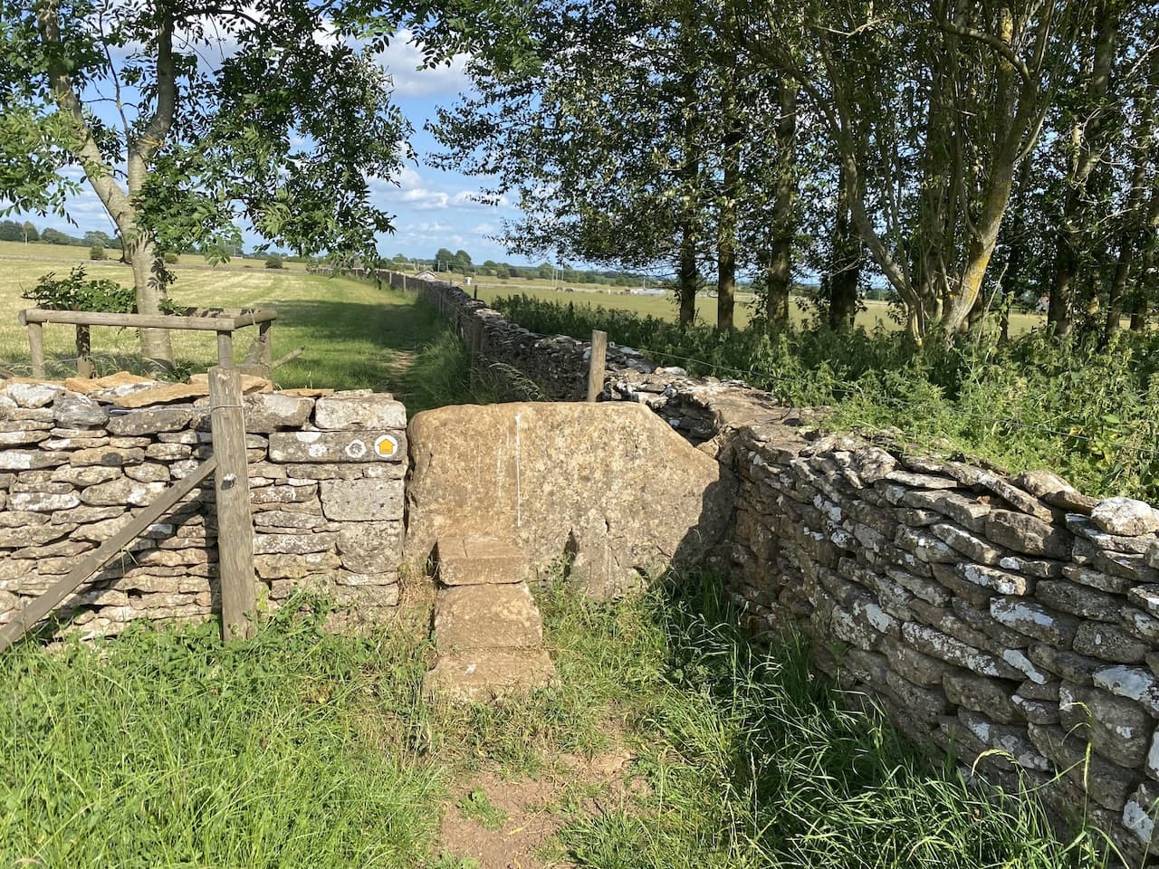
We cross a stone stile and continue into another field keeping the wall to our left hand side.

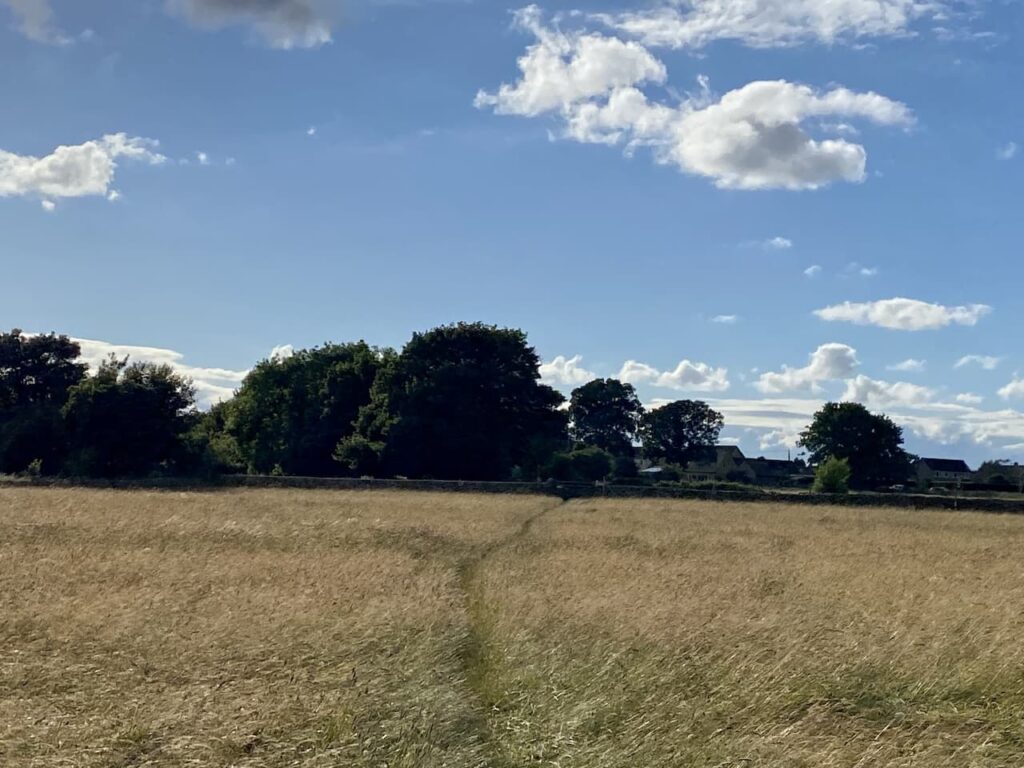
After crossing another stone stile the footpath forks. We take the right fork to head through a meadow towards a gate. Going over a stile on the gate we join a track and turn left.

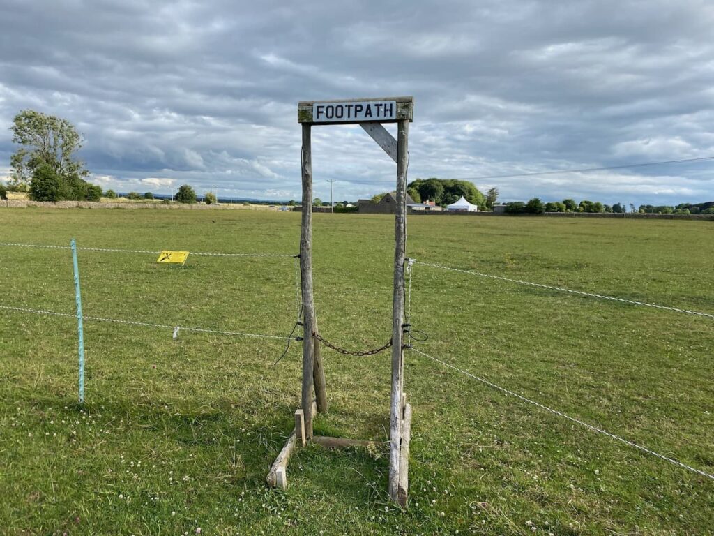
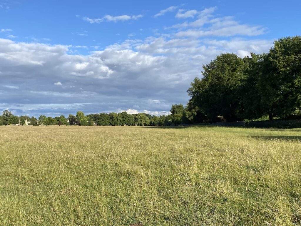
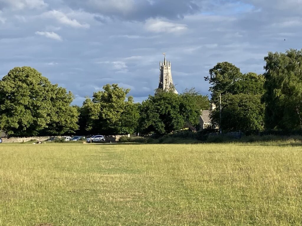
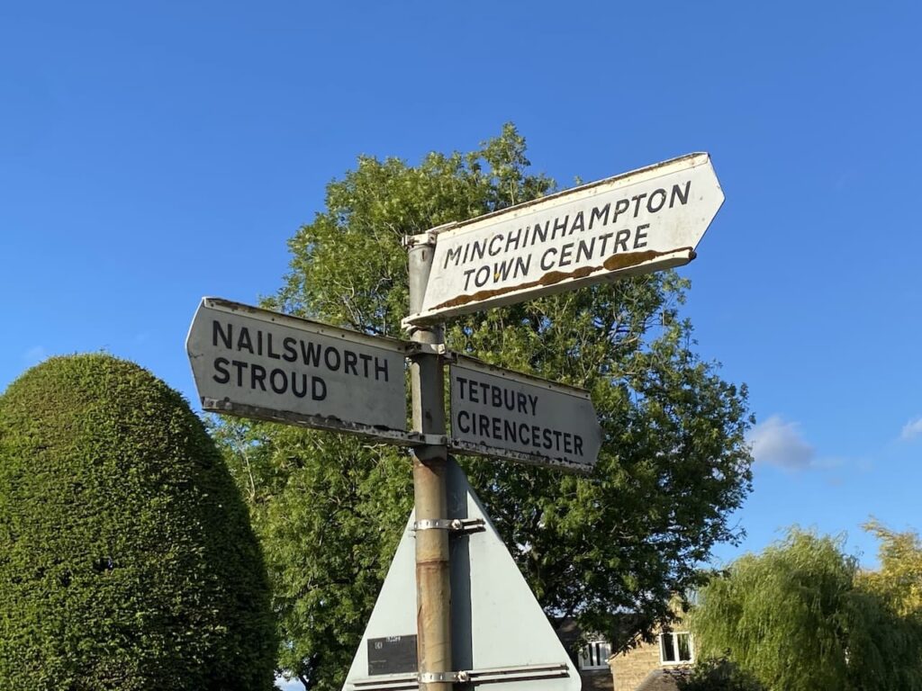
The track soon opens out onto a small common and leads to a residential lane. We stay with the lane to reach the Cirencester Road where we turn left and then quickly reach a crossroads and Minchinhampton Common. We cross the road and head onto the Common.

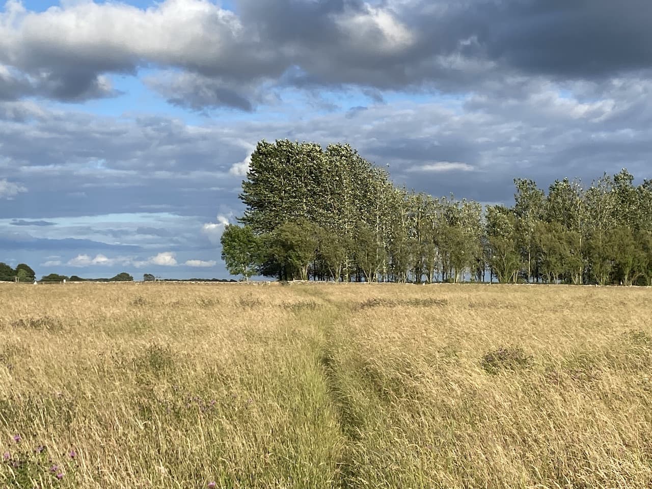
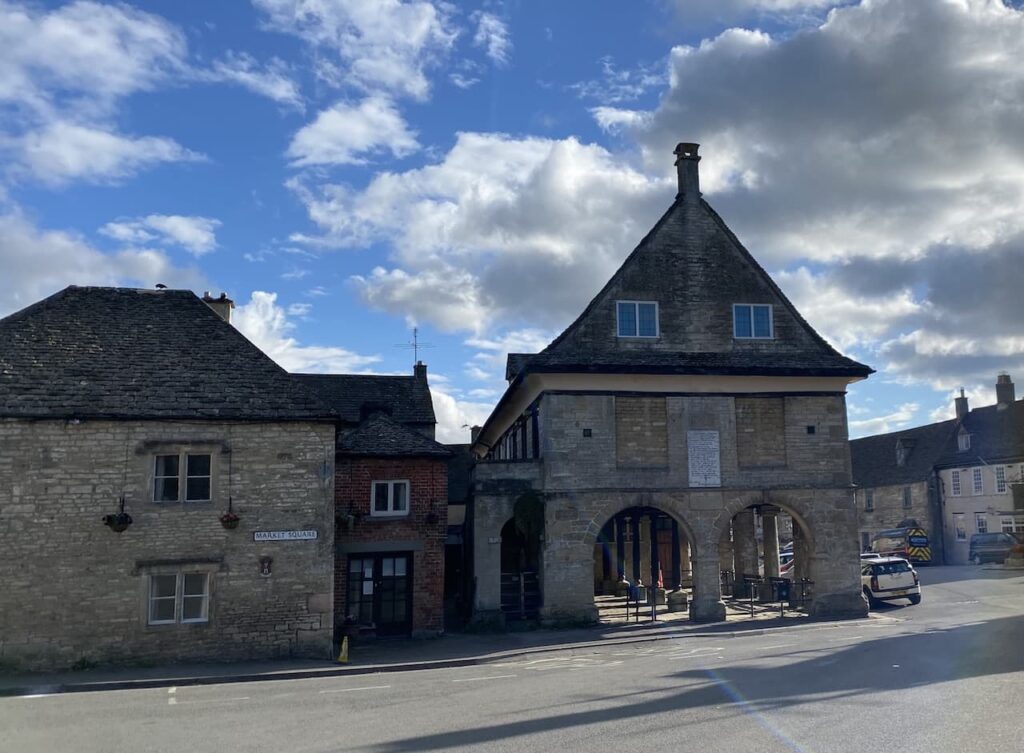
There are a patchwork of paths on the common, we keep to one running parallel to the main road and then cross a minor road leading into Minchinhampton and continue along the Bulwarks, this is an Iron Age earthworks sweeping around part of the common.

After a couple of hundred yards we reach the main road and cross. On the far side there is a minor road, we fork left away from this on a grassy path across the common heading towards the edge of Burleigh and soon pass a green on the Minchinhampton Golf Course.

The path reaches a minor road and we cross and continue in the same direction over another area of the common. As we near a cottage on the common we take a path on the right leading to a track which we follow to a minor road.

At the road we turn left and follow this lane as it passes properties in Bownham. To our right there are fine views across the Golden Valley.

We stay with this lane until we reach Winstone’s Ice Cream Parlour. Lynnie is a bit of connoisseur when it comes to ice creams and I know from our visit to this area last year she rates Winstone’s highly.
According to their website this is a family business started in 1925 by Albert Winstone after he had been made redundant from his job in Stroud as a French polisher. Initially selling ice creams the business grew and nearly 100 years later the 4th generation of the family continue the business.

This is a popular spot and there are a constant stream of cars pulling up and folk descending on the parlour from all directions. I have learnt over the years that Lynnie has to savour an ice cream, so we sit on the grass and enjoy the sunshine.
Resuming our walk we head uphill to cross a road and then continue on the clear path heading in a northerly direction to reach a milestone beside the main Stroud to Cirencester road.

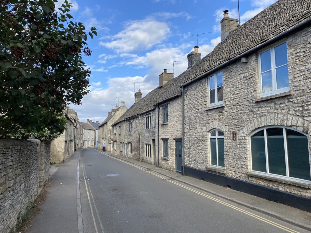
We cross the road here and follow a path which goes close to the wall of properties in a private housing estate on Rodborough Common.

As we follow the wall around the estate we are treated to some far reaching views.

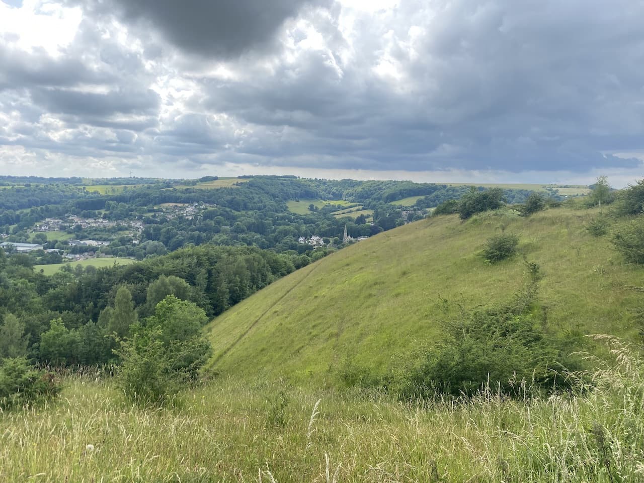
On our trip to this area last year we walked up the hill from Rodborough Manor, it was a short steep ascent which still lives in the memory. Today looking down towards Woodchester the gradient on the hill makes us realise why we struggled so much.

There are paths leading downhill but we stick with the one close to the wall. It is a well-worn route popular with dog walkers and folk wandering out to take in the view.

As we near the road we head towards the Bear of Rodborough Hotel. Apparently this was built in the 17th century as a coaching inn and has been a popular watering hole for travellers ever since.

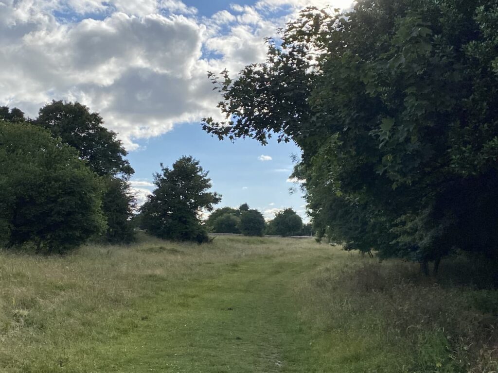
We pass the hotel and follow the pavement for a short section until we reach the common once again where we veer to the right and follow a grassy path towards Amberley.

After passing the War Memorial we cross the road and continue on another section of the common through part of Minchinhampton Golf Club. The route now heads towards the golf course clubhouse.

Minchinhampton Golf Club has three courses, two of which are near the village of Avening, but this is the original course, known as the “Old Course”. This course was established in 1889 and although we have seen a few golfers about it is clearly not the most popular of the club’s courses.
After passing the clubhouse we continue heading south beside more golf holes heading to the Halfway Cafe. This cafe is a former pub which, despite a campaign by locals was closed in 2013 and allowed to re-open as a cafe.
We cross the road and then turn left to follow the Bulwarks earthworks heading north parallel to a road.

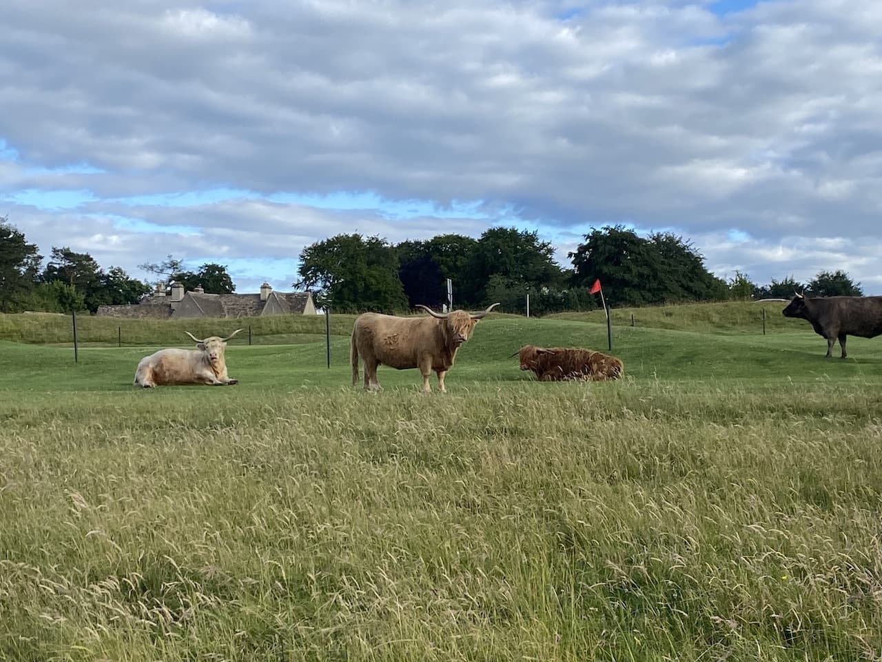
After crossing a minor road we continue on to the point on the Bulwarks where we had turned towards Burleigh earlier in our walk. From here it is a case of retracing our steps across the common. Along the way we pass a large herd of cows who have settled to chew the cud.

After crossing the road and following the lane to the small common we choose not to cross the gate with the stile, but instead stay with the track until we reach the Cirencester Road where we turn right and follow the wide verge to Burnt Ash Farm.
You can view this 8 mile walk on OS Maps and download the GPX File Here
To follow our walk you will need Ordnance Survey Outdoor Explorer – 168 Stroud, Tetbury & Malmesbury
20th June 2023
© Two Dogs and an Awning (2023)
All information on this site is provided free of charge and in good faith and no liability is accepted in respect of damage, loss or injury which might result from it. To the best of my knowledge the routes are entirely on public rights of way or within areas that are open for public access.
Walking can be hazardous and is done entirely at your own risk. It is your responsibility to check your route and navigate using a map and compass.