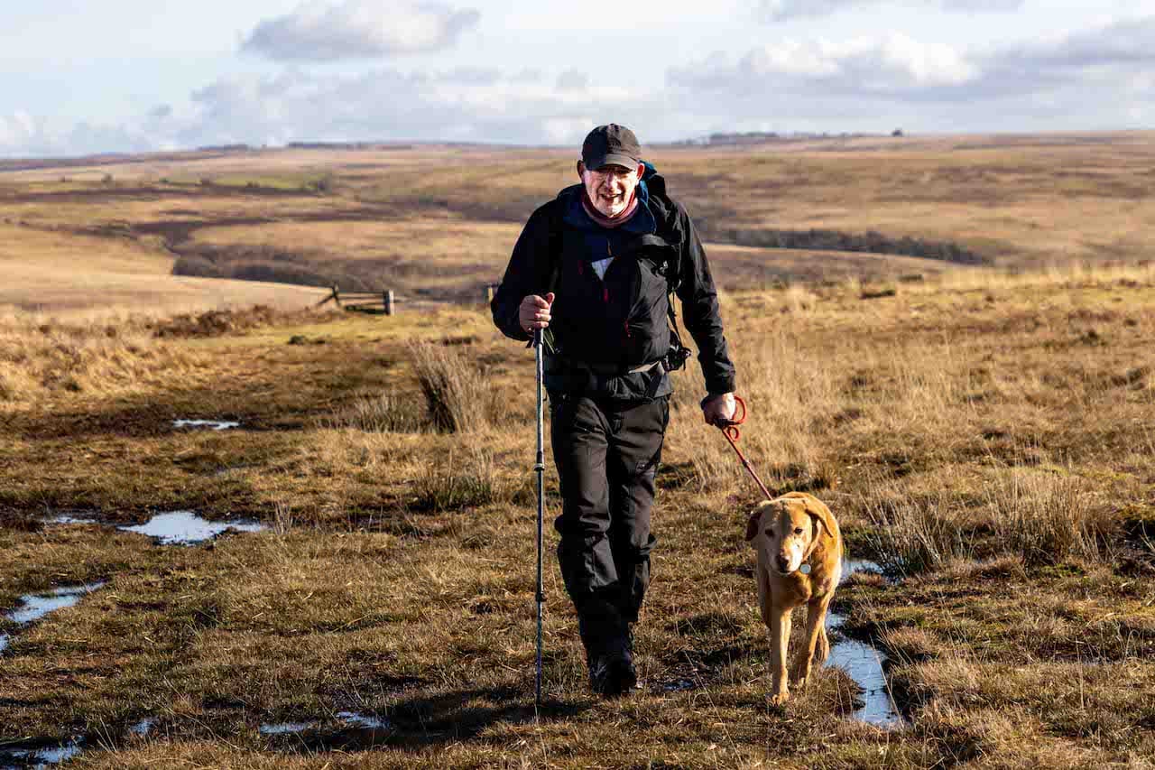
A couple of years ago I achieved the gold award in the National Navigation Award Scheme. Learning navigation skills was a thoroughly enjoyable experience and I wish I had done it much earlier. I am sure if I had I would have avoided a couple of mishaps whilst out walking in remote areas. I undertook my training with Nigel at New Forest Navigation, since doing the course Nigel (aka Navigation Nigel) has been a regular walking companion. So alongside the skills I developed on the course I also benefited from gaining a new walking companion.
I find walking in remote places, whilst relying on a map and compass and using pacing and timing, exhilarating. It definitely makes me far more aware of my surroundings, constantly looking at contours and features both on the map and on the ground. Like all skills there is a need to regularly use the knowledge to ensure it is firmly embedded. So today I have planned a walk which will take me out on Brendon Common where I can test my navigation in some unfamiliar places.
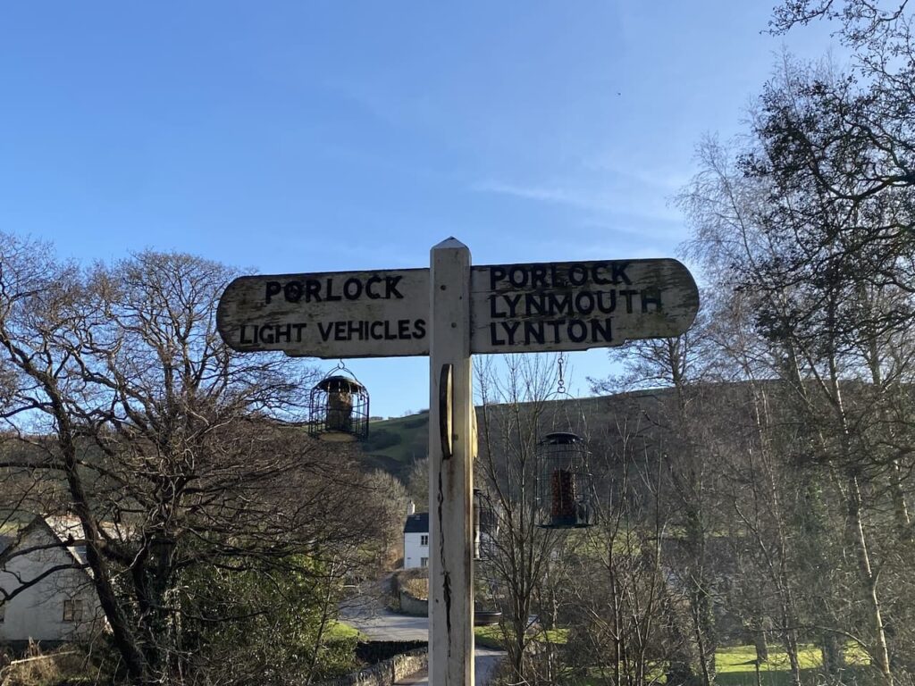
I start my walk at the County Gate car park beside the A39 between Porlock and Lynton. The car park is easy to locate and has a number of paths leading from it so is a great spot for walkers. I leave through a gate and take the path heading south towards Malmsmead.

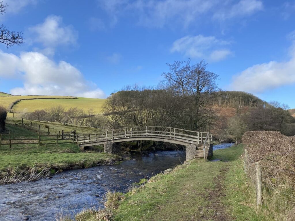
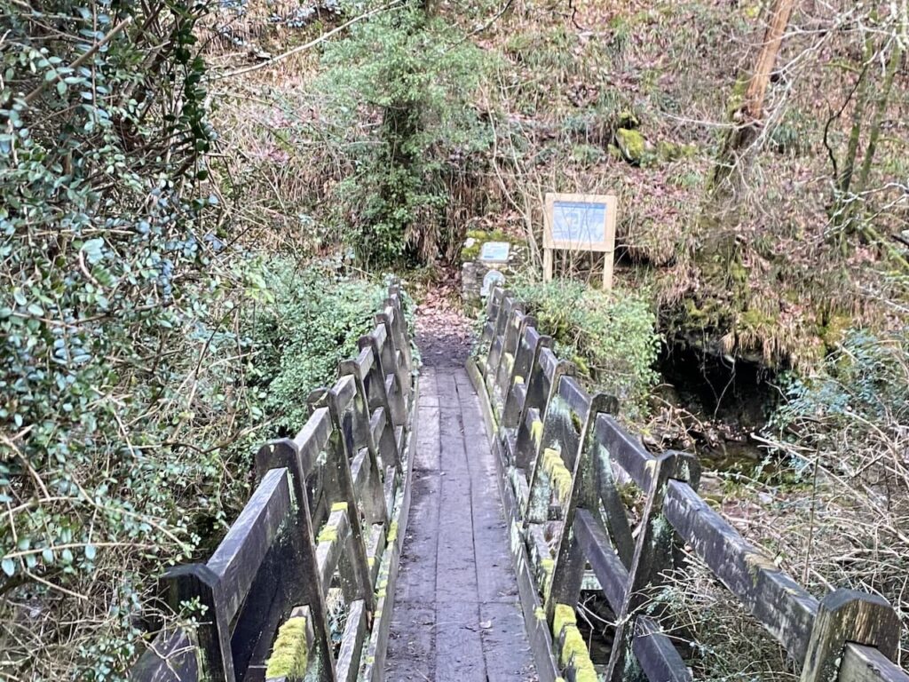
Initially the path goes along the top of the hill but soon descends sharply towards Malmsmead. At a junction of paths I turn right towards Oare Water and cross the river on a footbridge.

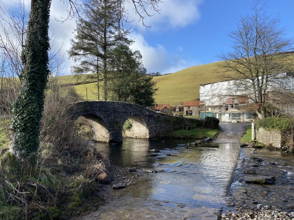
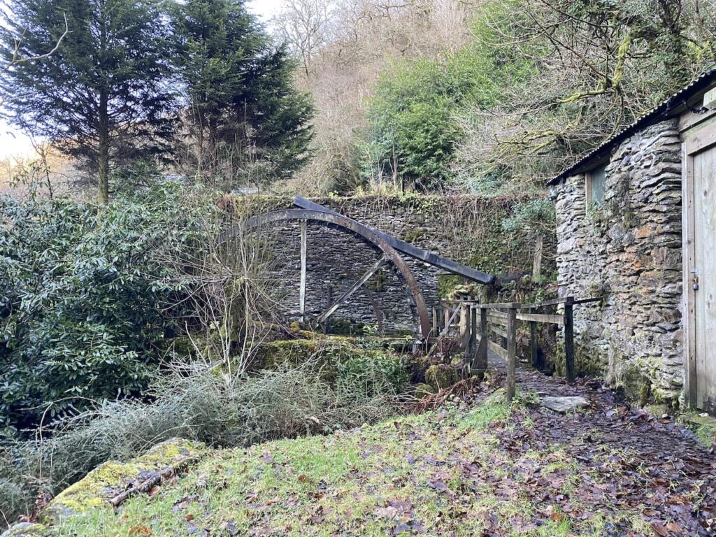
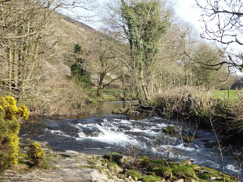
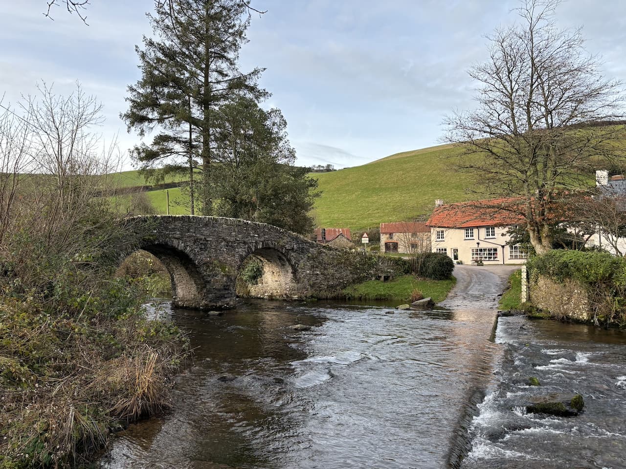
Over the river I follow the footpath up to a minor road where I turn right and wander down into Malmsmead and the 17th century Malmsmead Bridge that crosses Badgworthy Water.

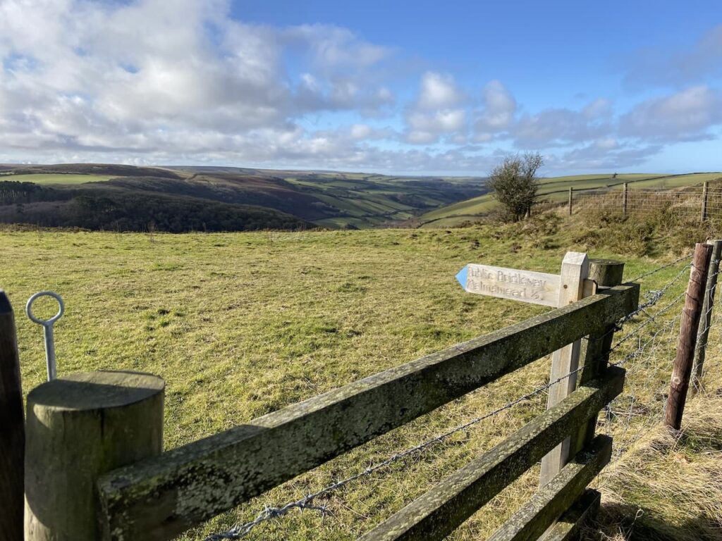
After crossing the bridge I pass the shop and cafe and then turn left along the minor road signposted to Fellingscott, Slocombeslade and Tippacott.

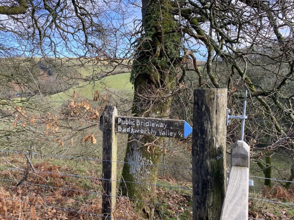
As the road sweeps to the right I follow a footpath sign through a gate to join a track signposted to Badgworthy Valley. After crossing a ford the path goes through a series of gates and then becomes a sunken track beside pasture fields.

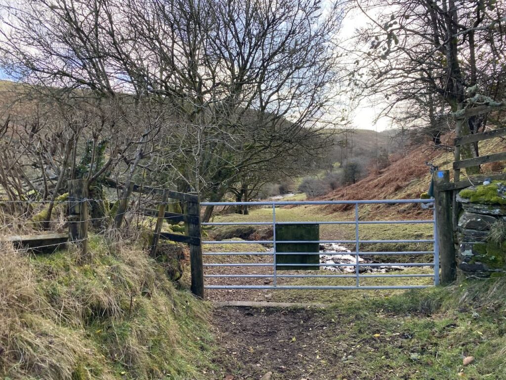
The track leads to a gate which I go through to continue alongside the river.

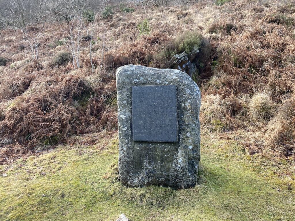
Continuing along the path I reach a plaque to Richard Doddridge Blackmore the author of Lorna Doone. This book, first published in 1869, was one of Lynnie’s mother’s favourite books. The story was set in this valley in the 17th century and tells the tale of the love between John Ridd and Lorna Doone and culminates with the villainous Carver Doone sinking into a bog.

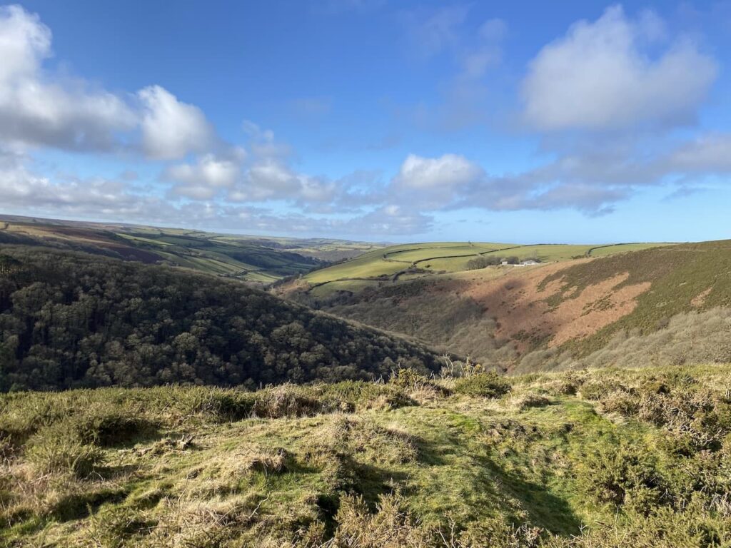
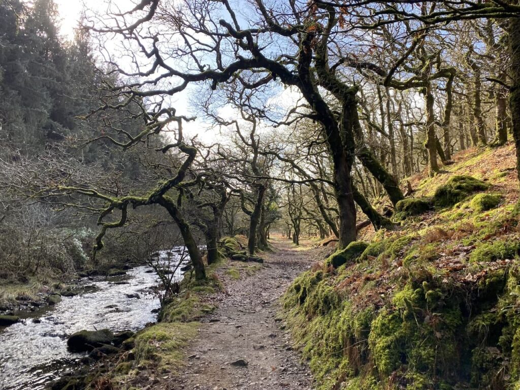
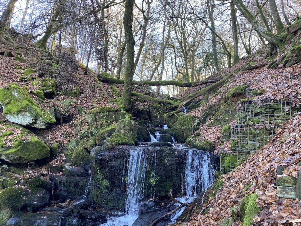
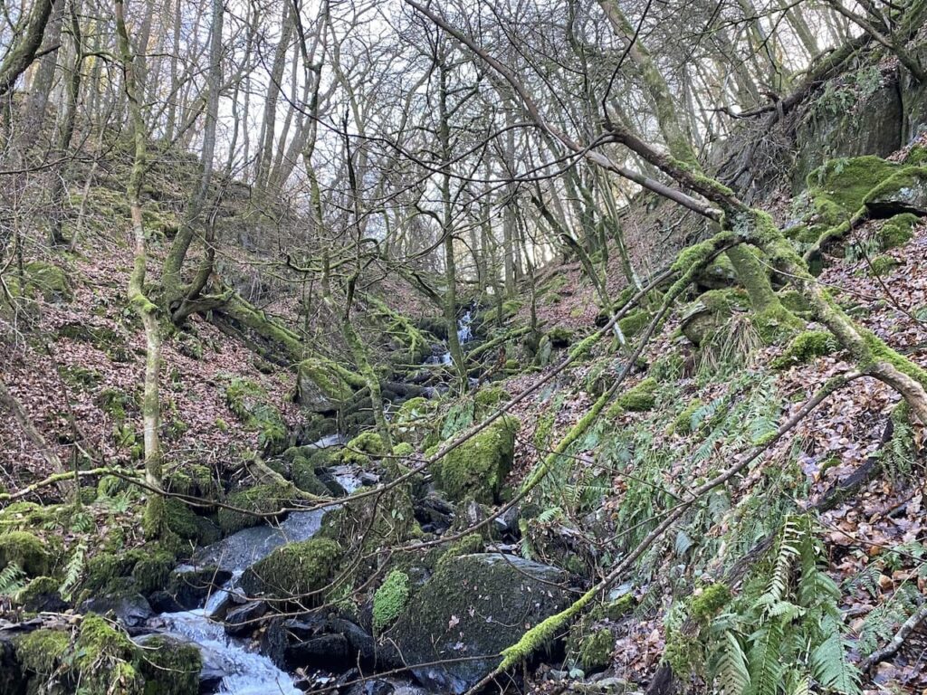
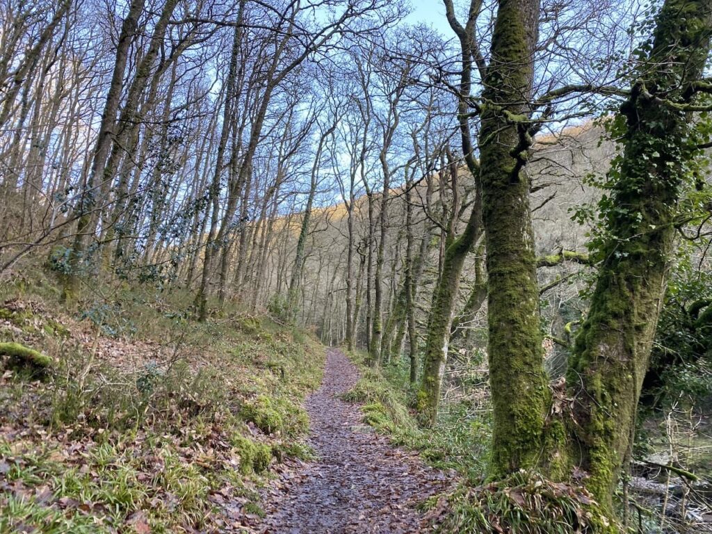
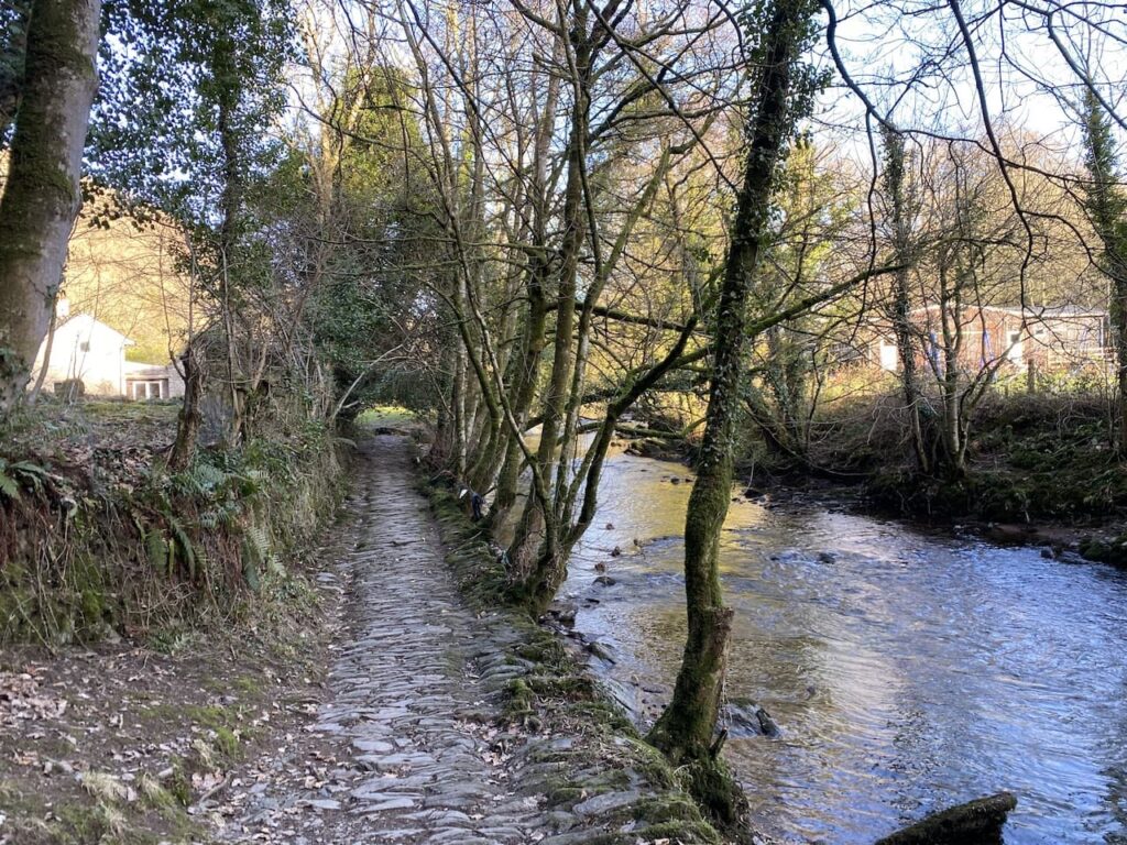
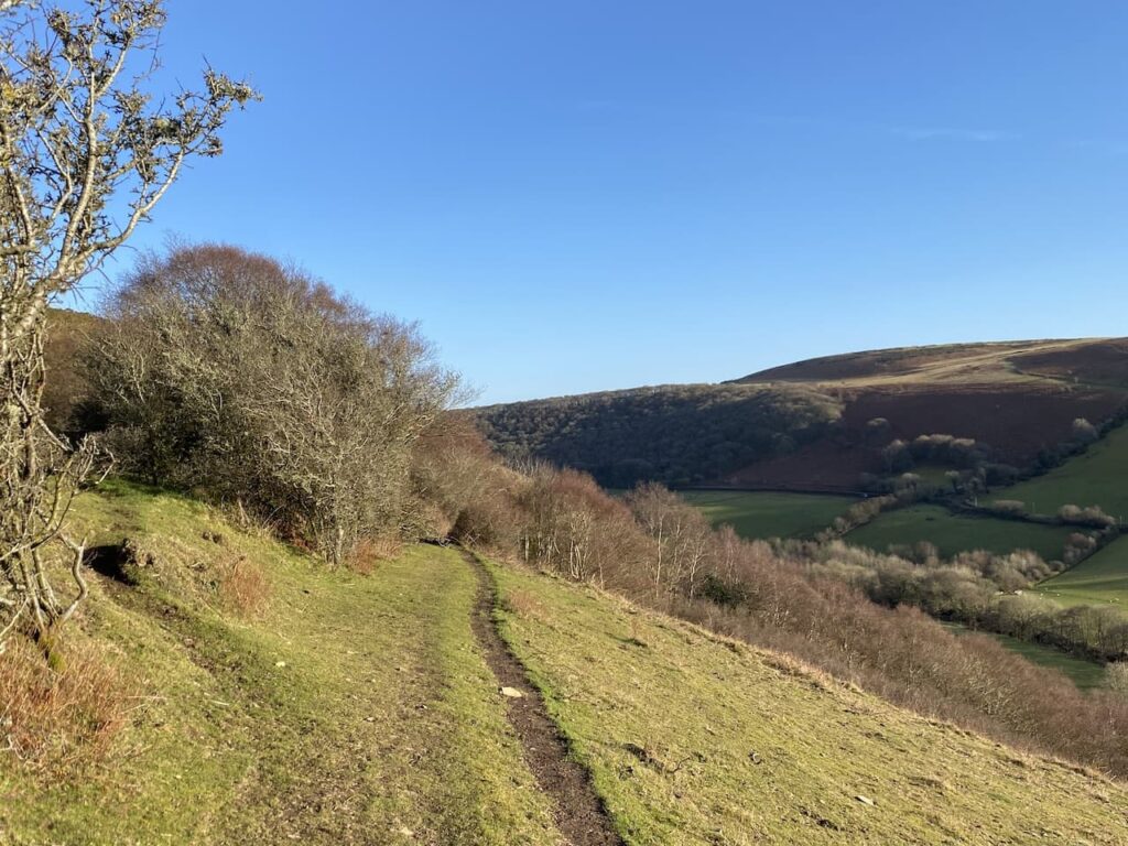
The path now follows the river through Badgworthy Wood.

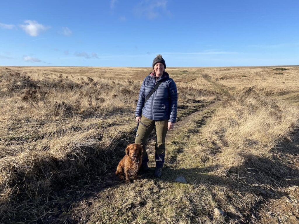
It is a cracking day for walking and apart from two runners I haven’t seen anyone else since I set off.

Staying with the path beside the river I cross a footbridge and now the path is high above the river.

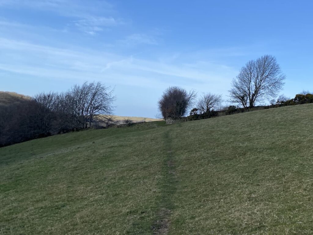
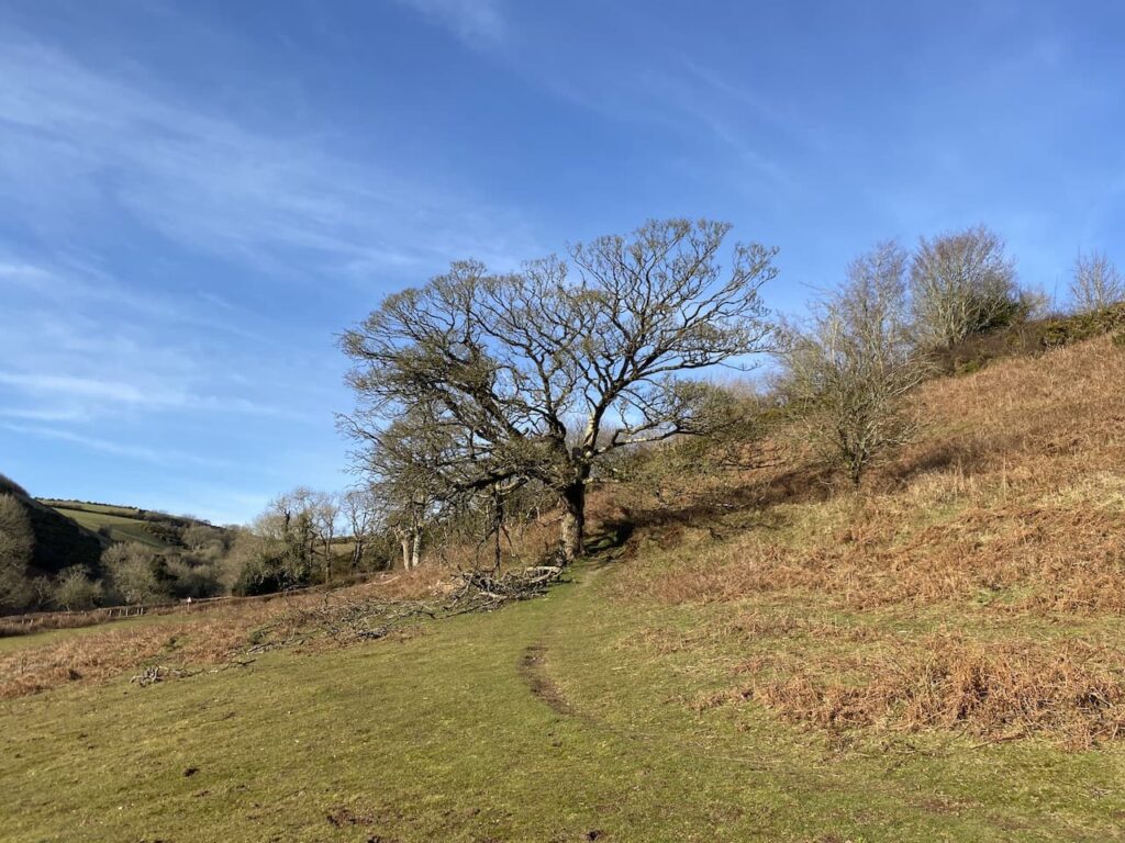
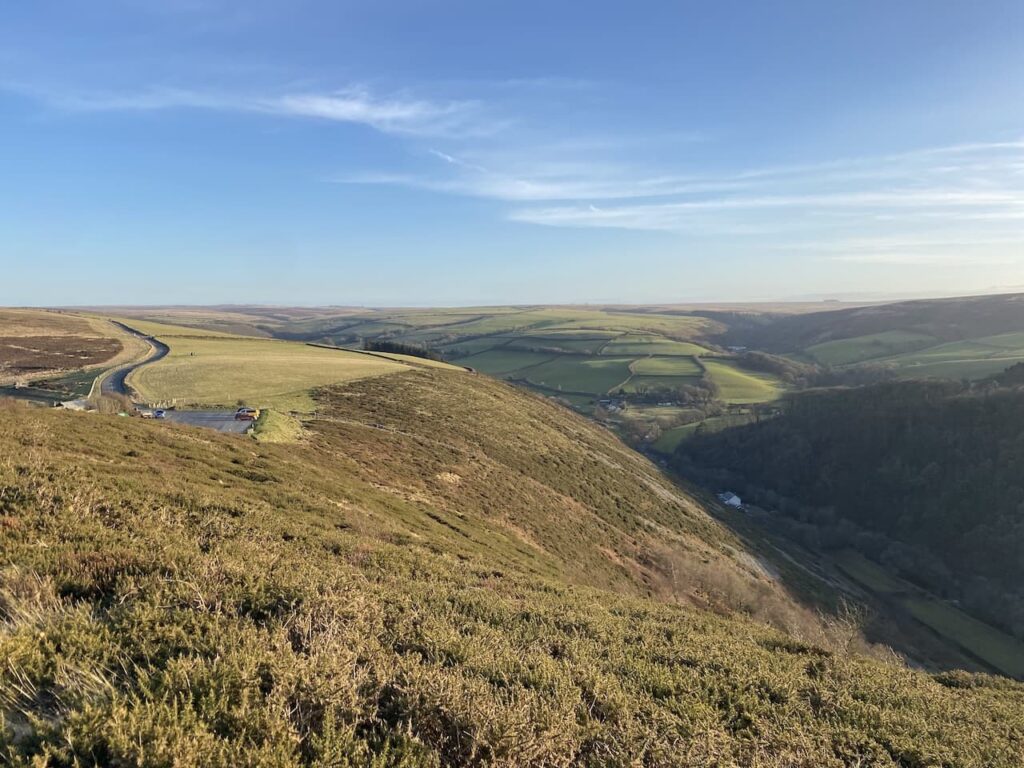
At a junction of paths I go right towards Brendon Common. As I head up onto the moor the clouds clear and there is cracking blue sky.

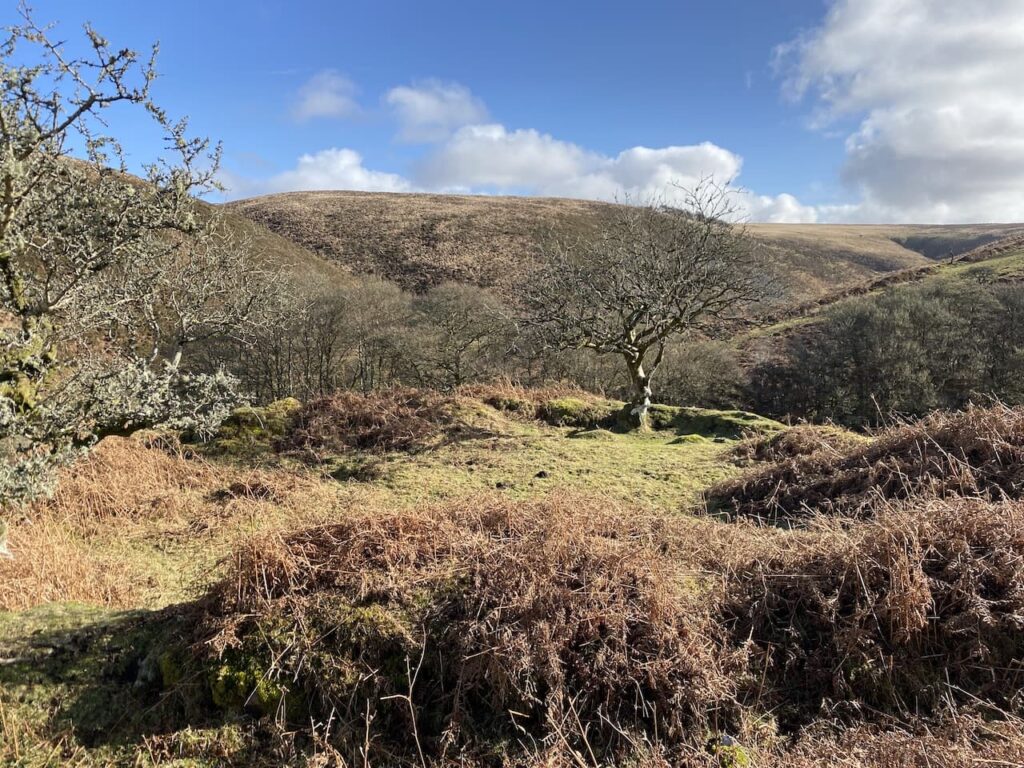
The path goes through the site of a medieval village. It is here that the Doone’s were said to have lived. Whilst Blackmore’s story is fiction it is based on historical characters. An exiled Scottish clan, the Doones, were known to live on this part of Exmoor in the 1600’s.

My route heads up onto the moor where there are fine views. This is a clear path that crosses a ford at Badgworthy Lees.

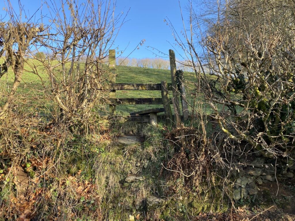
The path takes me towards a gate on the horizon.

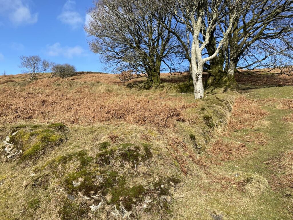
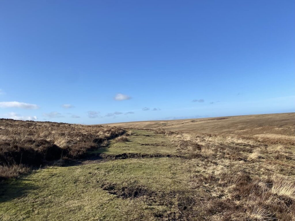
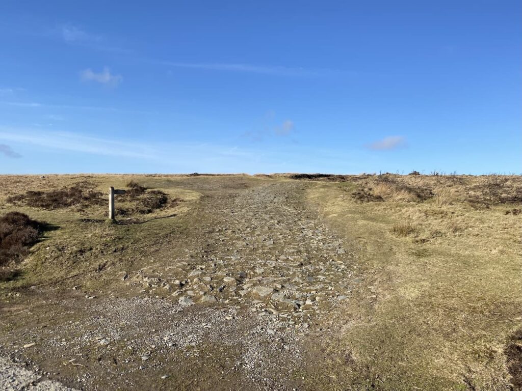
Once through the gate I follow the clear track across Brendon Common. Parts of the track are boggy, but nothing too serious and it is relatively easy going.

The track descends to cross a stream a Lankcombe Ford and then I take a track to the left heading uphill to join a broad track leading across the moor.

Proceeding along the track I can see low cloud approaching across the moor. One of the features of walking on Exmoor is how quickly the weather can change. It is why I would never head out here without a map and compass.

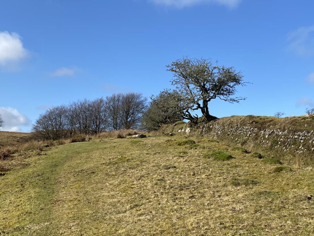
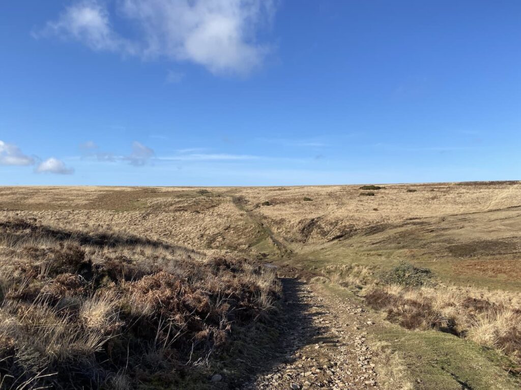
At a fork in the track I go to the right and follow a narrower path through the heather to reach Dry Bridge where I take an uphill path in a northerly direction.

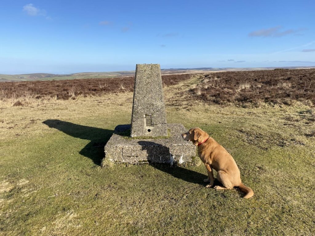
This path leads to Shilstone Hill Ordnance Survey trig pillar. I have bagged this trig a number of times.

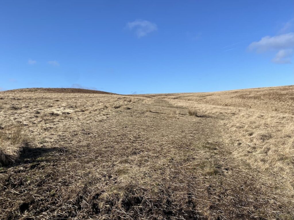
There are a range of options from the trig point. I continue north heading towards Shilstone.

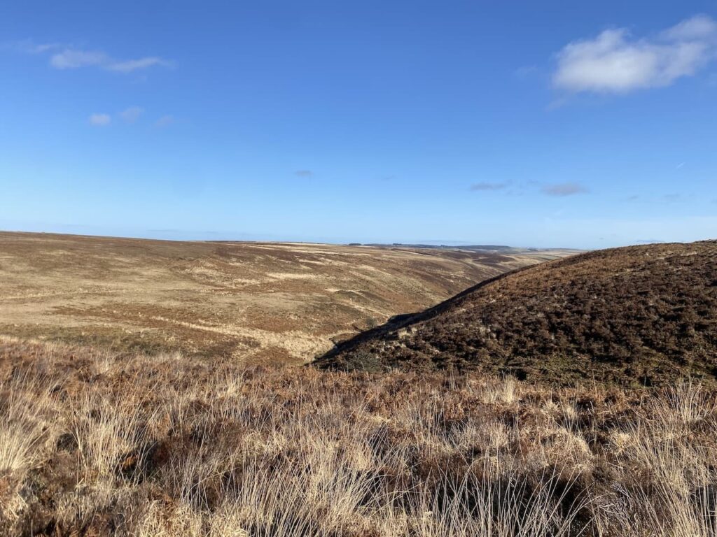
At a crossing of paths I turn to the right going south-easterly, I have not previously walked on this part of the moor so decide to do a bit of map and compass work with some pacing and timing.

I am soon heading east across Tippacott Ridge, this is remote part of the moor. The visibility is good and by regularly checking the map I am confident of my location.

At a fork in the track I go to the left and head north crossing a ford and heading towards trees.

Now on a clear track I continue north towards Easter Lane.

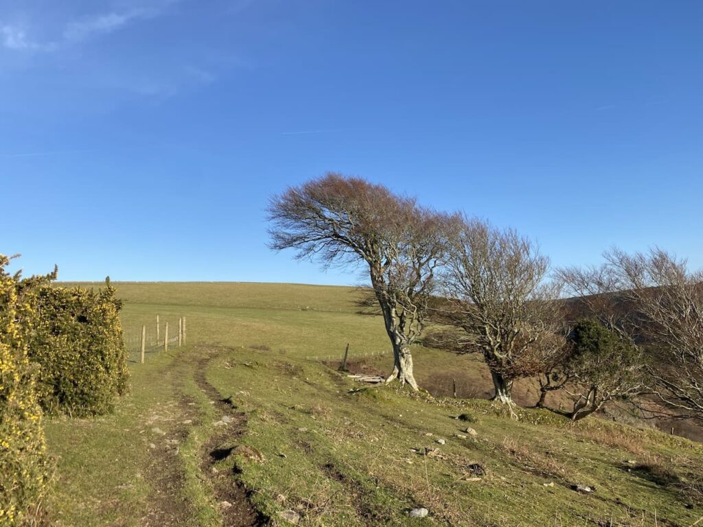
I cross the minor road to go through a gate onto the access land of Southern Ball.

As I follow the track across the access land there are fine views.

The path descends to a gate on the edge of Southern Wood. I go through and follow a path towards Malmsmead. This path descends through the trees to a minor road.

At the road I turn right and then almost immediately take a track on the right way-marked to Malmsmead. This track soon heads up through the trees and then turns to the south to reach another gate.

Through the gate I follow a track downhill into Malmsmead where I once again cross Badgworthy Water on the packhorse bridge.

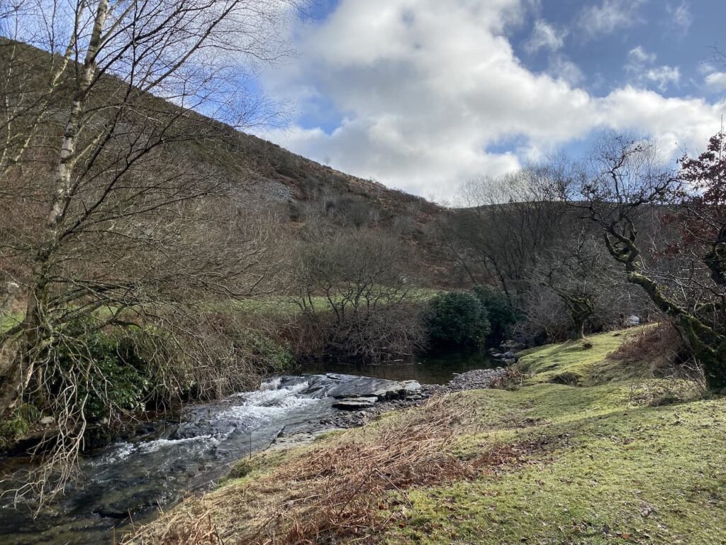
I now retrace my steps to the footbridge over Oare Water. After crossing the bridge I have the option of going straight up to the car park, instead I turn left and walk beside the river.

I last walked this path in July whilst on a ten day long distance walk. Then the water level was low but following the recent rain it is a fast flowing torrent.

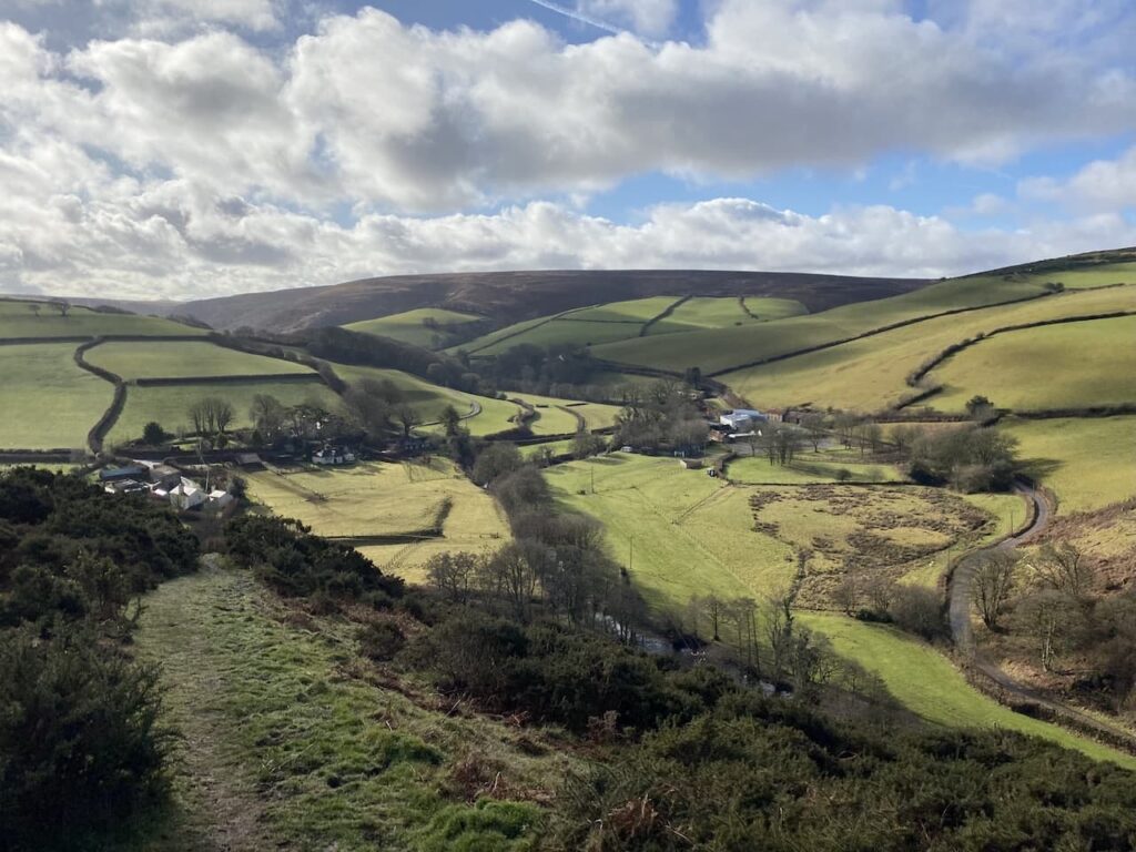
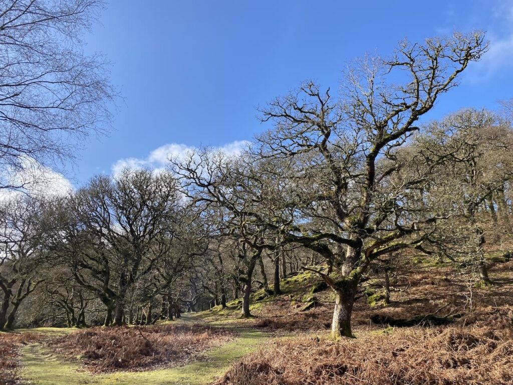
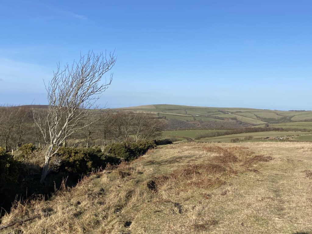
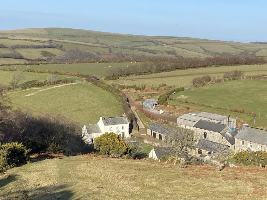
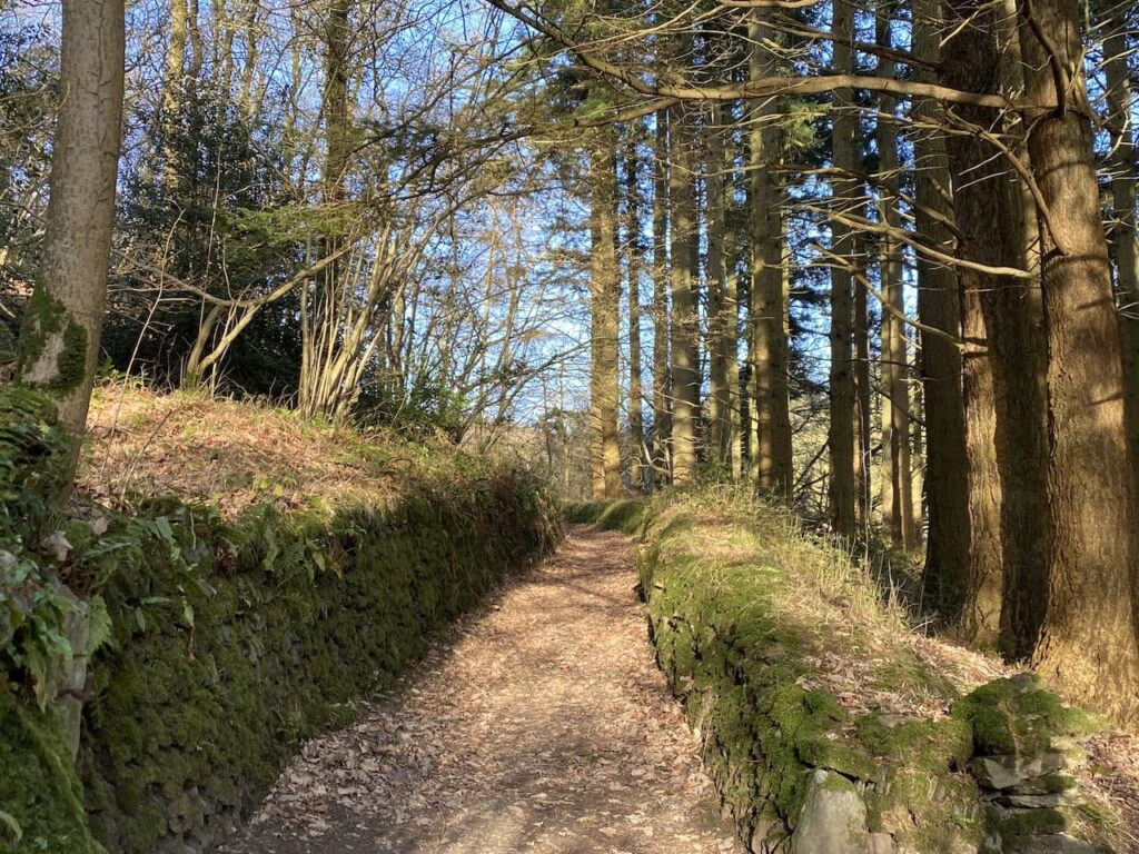
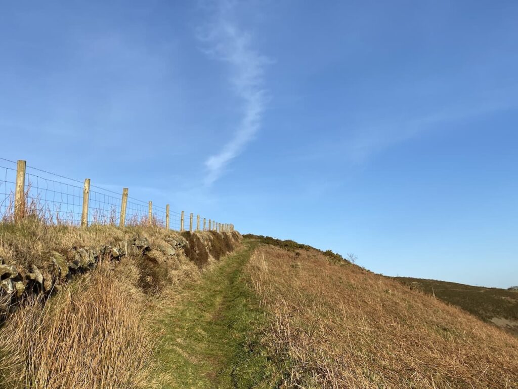
The path leaves the river and steadily ascends through trees, Emerging from the tree line I continue to a junction of paths near Ashton Farm. I stop and look back over the route I have just walked.

I keep the fence line to my left and ignore a path on my right. This route goes close to the A39, but just before the road I turn right on a bridleway back towards County Gate. The bridleway returns me to my starting point in the County Gate car park, where I enjoy a cup of tea whilst admiring the view.

It has been a cracking walk covering over eleven miles and I have only seen two other people all the way round. It always amazes me how quiet it is here outside of the main holiday season.
You can view this 11.5 mile walk on OS Maps and download the GPX File Here
To follow my walk, you will need Ordnance Survey Explorer Map OL9 – Exmoor
6th December 2023
© Two Dogs and an Awning (2023)
All information on this site is provided free of charge and in good faith and no liability is accepted in respect of damage, loss or injury which might result from it. To the best of my knowledge the routes are entirely on public rights of way or within areas that are open for public access.
Walking can be hazardous and is done entirely at your own risk. It is your responsibility to check your route and navigate using a map and compass.