Tag: Macmillan Way

  • Medieval Paintings

    Medieval Paintings

    A couple of days ago I went on a very muddy walk and passed St Nicholas’ Church in Lower Oddington.  At  the time there was funeral service taking place so I was unable to visit the church.   I have read that it has an interesting interior so we are heading there today.  After our walk in the sunshine yesterday Lynnie has decided to join me as long as I can find a route that does not involve mud!

    We are once again walking from the caravan site leaving Pebbly Hill Nurseries CL by the gate to turn left along the track passing the converted barns.  At the road we turn left and then after a few yards take a footpath on the right which heads between fields.

    The path leads us across a couple of fields towards Jay Farm, on reaching the B4450 we turn right and walk along the wide grass verge until we reach a footpath on the left which leads along the driveway of Bledington Grounds.

    The footpath follows the driveway as it goes around properties and barns and continues towards woodland at Lower Oddington Ashes.  Reaching the woodland we turn to the left to follow a track along the edge of the woodland towards Lower Oddington.

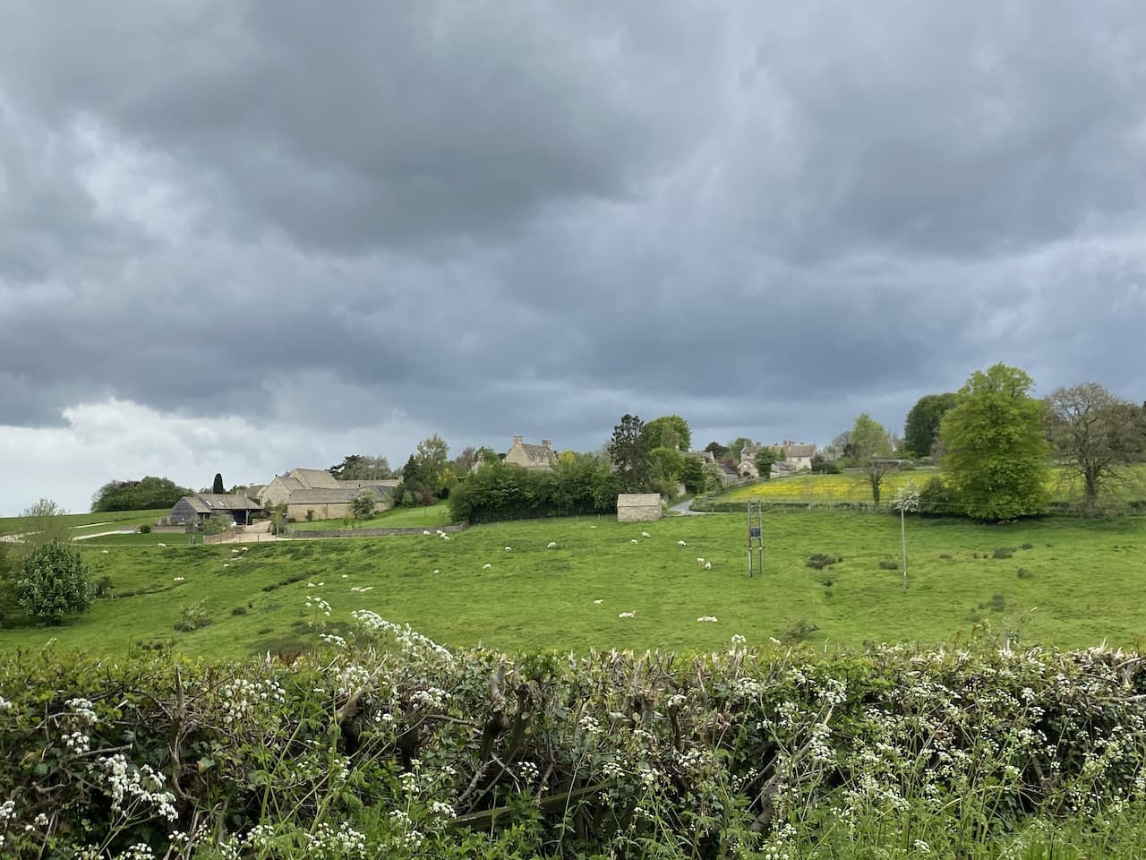
    Near the village we reach St Nicholas’ Church, parts of which date back to the 12th century.

    Inside there is a medieval wall painting which is thought to be one of the largest in the country.  We have seen a few of old wall paintings in churches on our travels but I don’t remember one as clear as this.

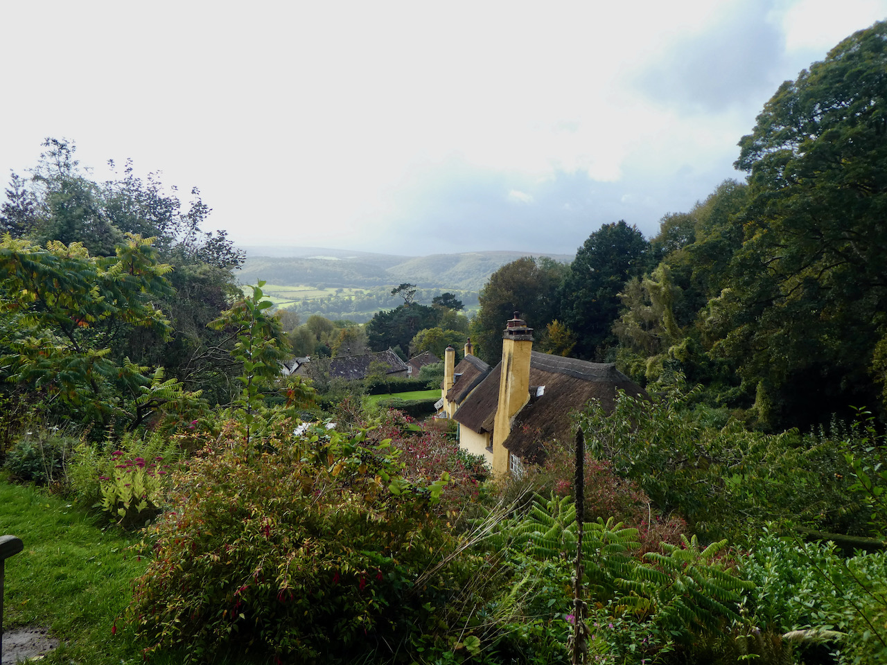
    After visiting the church we continue along the lane into the village of Lower Oddington.  At a road junction we turn left through the village to pass the church of the Holy Ascension. Soon after passing the church we reach a junction and carry straight on towards Upper Oddington.  There is a pavement beside the road connecting the two villages.  In Upper Oddington we stick with the road and ascend through the village passing the Horse and Groom pub. 

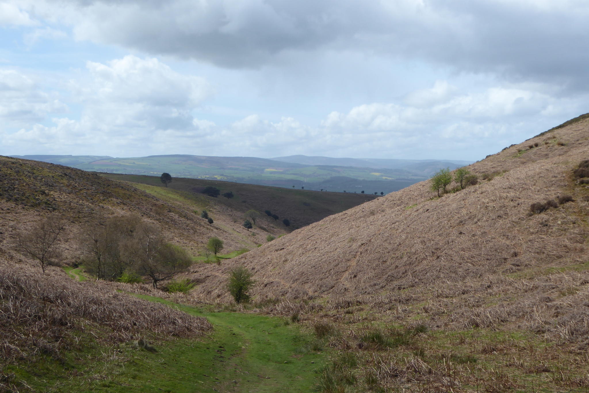
    Just after leaving the village we take a footpath on the right following the Macmillan Way.  This narrow path heads downhill to a field and then goes diagonally uphill across the field on the route of the Macmillan Way heading towards a junction of paths to go left to a covered reservoir.

    The path leads through bushes and emerges on the grounds of Stow-on-the-Wold Rugby Club.  We follow the way-markers past the clubhouse and continue on the southern edge of the grounds.

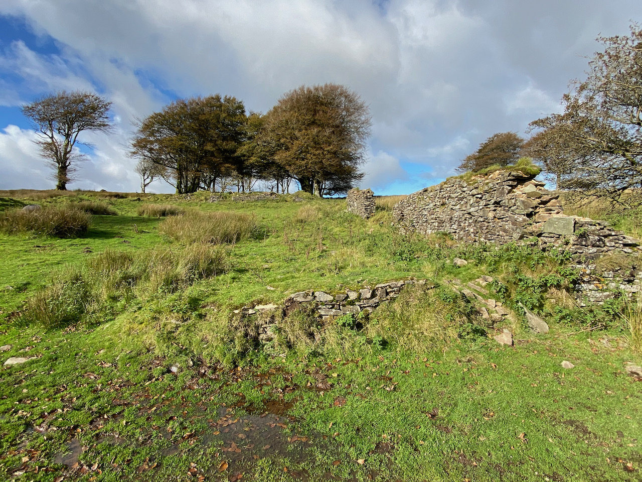
    Leaving the rugby ground we join a path which soon goes beside paddocks.  Over the hedge to the right is Millay Tower.  This former sawmill was built in 1307 and is believed to have been used by the monks of Maugersbury.  It has now been converted into a residential home.

    The path heads south to reach the B4450 where we turn right heading towards Stow-in-the-Wold.  Just as this road joins the A436 we take a minor road on the left heading for Maugersbury.

    In the village we continue along the route of the Macmillan Way until we reach a junction here the Macmillan Way continues into a no through road but we turn left and follow this lane until we reach a track on the right leading downhill towards Oxleaze Farm.  After passing the parapets of a bridge on the dismantled Banbury to Cheltenham Direct Railway the footpath continues along the track to pass the farm buildings of Oxleaze Farm.

    We then continue up Maugersbury Hill until the track joins a road. Here we continue straight on heading towards Icomb.  In the village we turn right to pass Home Farm.

    At a junction in the village we turn left passing the church of St Mary and continue along a track leading towards Middle Farm.  

    The track heads downhill to reach a footpath on the left which we follow across a stream and continue heading east across fields.  After going through gates the path runs beside a field as we head towards Lower Farm.

    The path goes alongside the wall of Lower Farm.  The route is clearly marked and carries on across further fields to reach a pleasant meadow.

    After going through another field the path arrives beside the gate of Pebbly Hill Nurseries CL.  We have covered just over nine miles.  It has been pleasant walking and much of the route was a repeat of a walk I did a few days ago, however, this time it was a lot less muddy!

    You can view this 9 mile walk on OS Maps and download the GPX File Here

    To follow my walk you will need Ordnance Survey Outdoor Explorer OL 45 – The Cotswolds

    23rd May 2021

    © Two Dogs and an Awning (2021)

    All information on this site is provided free of charge and in good faith and no liability is accepted in respect of damage, loss or injury which might result from it.  To the best of my knowledge the routes are entirely on public rights of way or within areas that are open for public access.
    Walking can be hazardous and is done entirely at your own risk.  It is your responsibility to check your route and navigate using a map and compass.

  • Pinkery Canal and Larkbarrow Farm

    Pinkery Canal and Larkbarrow Farm

    It is the final day of this short trip to Minehead and my last chance to get out on Exmoor before returning home tomorrow.  On this trip I have been trying to “bag” a few of the Ordnance Survey Trig Points on the Exmoor National Park and today’s route has been plotted so I can visit the trig on the moor at Elsworthy.

    The start of my walk is from the car park besides the B3223 (Grid Ref SS 767410).  On leaving the car park I head south on the verge besides the B3223 for a couple of hundred yards to reach a footpath onto the moor at Prayway Gate.  

    The path soon turns to the left to head east along the boundary of the moor and stays on the moorland at a junction of paths.  I stay on the moor heading east.  The trees up here demonstrate this is a pretty exposed area.

    There is a clear route for me to follow and I stick with this around the boundary of the moor soon heading north to reach a gate on the right. 

    Through the gate I continue along the edge of the moorland. 

    The path I am on runs high above the River Exe and there is an option to turn left on the route of the Macmillan Way West as it descends steeply to Warren Bridge.  However, I ignore this path and continue along the fence line to reach a tarmac lane.

    At the lane I stop to look at part of a waterway which was known as Pinkery Canal.  It was constructed by John Knight in 1833.  Knight had purchased the Royal Forest of Exmoor in 1818 and had set about turning much of the 10,262 acres into agricultural use. There are various theories as to why Knight built the canal, which was in fact a linear ditch. It has been suggested it was for land irrigation or to harness the water power for industrial use.  However, a detailed survey by English Heritage in 2004 dismissed both these options. In fact the survey failed to shed any light onto the purpose of the canal.  All I know is that I am currently stood at one end of it.

    I now turn left to follow the tarmac lane steadily downhill towards Warren Bridge.  There are cracking views as I descend to cross the river Exe on the bridge.

    I continue on the track past Warren Farm, this is the route of the Macmillan Way West and I stay with this through a gate to head back onto moorland.  The path follows close to the boundary with fields on the right and then turns to the north.

    The route I am following will take me on the MacMillan Way to Larkbarrow Corner, however, I take a slight detour to head across the moor to reach the Elsworthy Ordnance Survey trig pillar.  This is the 224th trig I have bagged.

    From the trig I head east and soon rejoin the Macmillan Way and follow this towards Larkbarrow Corner.  Shortly before reaching a road I stay on the moor and follow a path heading in a northeasterly direction parallel to the road.  On reaching a gate by the road I turn left and follow a track besides a fence line heading north onto the moor.

    On reaching a junction of tracks I turn left and follow a stunning path towards Larkbarrow.

    Not much remains these days of what was once Larkbarrow Farm.  It was built in 1850 by John Knight as part of his reclamation of the moor for agriculture.  A tenant arrived in 1850, but by 1852 had found life at this remote spot too challenging and left the farm.  Apparently they struggled to find another tenant and the farm fell into disrepair.

    The Knights had the idea of introducing Scottish shepherds to the moor and for a while the farm was occupied, but this venture proved unsuccessful and by the 1900’s the farmhouse was only used as a shelter when hunting.  However, Larkbarrow Cottage continued to be occupied and in July 1923 its resident, Will Little, was killed by a lightning strike as he headed across the moor from haymaking at Warren Farm.

    I stay with the path passing the remains of Tom’s Hill Farm.  This was built around the same time as Larkbarrow Farm and suffered a similar fate.

    At a five way junction of paths I follow a route heading west and stay on this path as it descends towards a footbridge over the Badgworthy Water.

    I cross the bridge and turn right to follow a path with the river to my right. I stay with this route until I reach a junction of paths near the site of a medieval village.  Now I turn left and head away from the river heading towards Badgworthy Lees.

    This was the area where Richard Doddridge Blackmore based his book “Lorna Doone”.  It is here that the Doone’s were said to have lived.  Whilst Blackmore’s story is fiction it is based on historical characters.  An exiled Scottish clan, the Doones, were known to live on this part of Exmoor in the 1600’s.

    The route now heads up onto the moor.  I stay with the clear path and enjoy the scenery around me.  I have walked this path a few times so don’t bother checking the map or the route on my phone.

    The path leads through a gate and I continue along the clear track along the side of Withycombe Ridge.  It is only now that I remember that I planned to take a path across the moor back to the car.  However, a quick check of the map shows I can keep going on my current route and will be fine, it will add a few miles to my walk but there is no pressing need to get back to the caravan so it’s not a problem,.

    The track leads down to a stream at Lankcombe Ford.  On the opposite side of the stream I take a path to the left which heads uphill to join a track where I turn left and follow it back towards the B3223.

    Here I turn left and follow a path besides the road, the light is starting to fade so I am grateful to have the road to follow.  The moor here is pretty desolate and I would not want to be wandering around trying to find my way in the dark.

    At Brendon Two Gates I cross the border between Devon and Somerset.

    Still besides the B3223 I pass Blackpitts Gate and continue over Exe Head Bridge before heading back uphill to my starting point in the car park,

    My walk has covered 15 miles, a bit further than initially planned but it has been a cracking route.  I have only seen a handful of people so it has felt at times that I was the only person out on the moor.  I am already planning a return visit to Exmoor in a few weeks’ time but for now that’s the end of my moorland walking.

    To follow my walk you will need Ordnance Survey Outdoor Explorer OL9 – Exmoor

    You can view this 15 mile walk on OS Maps and download the GPX File Here

    11th October 2020

    © Two Dogs and an Awning (2020)

    All information on this site is provided free of charge and in good faith and no liability is accepted in respect of damage, loss or injury which might result from it.  To the best of my knowledge the routes are entirely on public rights of way or within areas that are open for public access.
    Walking can be hazardous and is done entirely at your own risk.  It is your responsibility to check your route and navigate using a map and compass.

  • Meeting a Twitter Buddy

    Meeting a Twitter Buddy

    Social media gets a lot of bad press but there are some positive benefits from it.  I have accounts with Facebook, Instagram and Twitter, but find that being active on all three is too time consuming so these days mainly confine my activities to Twitter.  Over the couple of years I have been tweeting I have met a few of the people I engage with through this medium and today I have arranged to meet Sarah and her cocker spaniel Jack for a cup of tea at the Periwinkle Cottage tea rooms in Selworthy.

    I have decided not to use the car today but walk directly from the Caravan and Motorhome Club’s site in Minehead. On leaving the site I turn left and walk uphill along the pavement besides the A39, Hopcott Road. On reaching Hopcott I turn left to follow the narrow tarmacked lane as it heads steadily uphill passing Higher Hopcott and then entering woodland with a steep final ascent to reach a small car park.

    There are a network of paths leading from this car park, I take the route of the Macmillan Way West still heading uphill. I ignore a path on the right soon after leaving the car park and then where the Macmillan Way forks to the left I take the right fork to follow a footpath along a track.

    I am still heading steadily uphill; the path starts to level slightly on leaving the trees to enter an area covered in gorse offering fine views.

    On reaching a crossing of paths I turn right to follow the route towards Tivington.  I am now back on the Macmillan Way heading west to reach another crossing of paths.  Here the Macmillan Way turns left towards Wootton Courtney, however, I keep going straight ahead soon reaching an Ordnance Survey trig point tucked to the left of the track on a high bank. I have already bagged this trig on a previous walk.

    At the next crossing of footpaths I continue straight on to pass the National Trust plaque and enter Holnicote. Within a short distance the track forks and I take the left route towards Tivington.

    I leave the trees to join a hedge-lined track and get a cracking view over towards Dunkery Beacon.

    The track reaches Tivington near to the thatched 14th century Chapel of St Leonard. Apparently this chapel of ease closed during the dissolution of the monasteries it was restored in 1896 and re-consecrated in 1940. Sadly it is locked so I cannot take a peek inside.

    Back on the road I head north through the hamlet and at a fork in the road go left to soon pass Tivington Farm and then carry on to Venniford Cross where I go over the A39 and join a track, Eight Acre Lane, going steadily uphill.

    At a junction of tracks I turn left and follow the farm drive towards East Lynch Farm.  As I approach the farm I take a footpath on the right, which runs behind a fine old barn.  I stay on the wide grassy track as it sweeps by farm cottages, ignoring a footpath on the left and continuing uphill.

    On reaching a tarmac lane I turn left and follow this road steadily downhill to reach the attractive 15th century white washed All Saints Church at Selworthy.

    Soon after the church I go through the gate besides the War Memorial to meet up with Sarah at Periwinkle Tea room.  In the current circumstances meeting up with anyone is rather different than normal.  But the way things are set up at this attractive tea room means we can chat whilst social distancing.  Over a cup of tea Sarah shares with me some of her local knowledge of walking on Exmoor and I pass on details of some of my favourite local walks.

    After chatting with Sarah for an hour or so it is time for us to part ways.  I head back up through the gardens of the tea room to the War Memorial.  I now take the footpath on the left that soon heads into the attractive Selworthy Combe.  Where the track forks I go left to go over a bridge.

    The path now heads steadily uphill on an attractive path through the trees.

    On reaching a small dam in the stream I stop to search for an Ordnance Survey rivet.  Over the last few months rivets and cut benchmarks have been added to the list of things to “bag” whilst out walking. 

    It takes a bit of searching, but in the end I spot the small metal rivet that formed part of the OS mapping of this area.

    I continue up the combe to reach the Memorial Hut that was erected in 1878 by John Barton Arundel Acland the youngest son of Thomas Dyke Acland (1787 -1871).  One of the inscriptions inside reads “In remembrance of the father who during more than fifty years took Sunday walks up this Combe with his Children and Grandchildren training them in the love of nature and of Christian poetry this Wind and Weather hut was built”.

    From the hut I walk uphill to a minor road and turn left and follow the road to reach a car park with a stunning viewpoint towards Porlock Weir.

    From the car park I turn around and follow a footpath besides the road heading back towards the Memorial Hut.  As I near the hut I cross the road and take a track north east to reach the trig point at Selworthy Beacon.

    From the trig point I take a path heading east on a track running close to the road.

    Through a couple of gates the path sweeps to the left towards a car park.  There are a network of paths back to Minehead from here. I continue to the east heading towards trees in the distance.  On reaching the trees I turn to the right to cross the road and then take a footpath on the left running parallel to the road and heading downhill through gorse bushes.

    This track joins the road by a cattle grid and the route is then downhill along the road to enter Higher Town and reach the 15th century St Michael’s Church.   Apparently in the past a beacon was shone from the tower of this church to guide ships into the harbour below.

    I continue along the road for a short distance and then turn right onto a road called The Ball and follow this to a junction with Ballfield Road where I turn right and continue heading downhill into Minehead.  In the centre of the town I turn left into the Parade and then wander through the residential streets to return to the caravan site.

    It has been a good wander.  I have covered twelve and a half miles.  It was good to meet up with Sarah and her lovely dog Jack.  Hopefully on another visit to this area we can catch up again on a walk.

    You can view this 12.5 mile walk on OS Maps download the GPX File Here (Subscription to OS Maps Required)

    To follow my walk you will need Ordnance Survey Explorer Map OL9 Exmoor

    6th October 2020

    © Two Dogs and an Awning (2020)

  • King Alfred’s Tower

    King Alfred’s Tower

    Prior to setting off on this trip I did a bit of research about interesting places in the locality and came across a striking image of Alfred’s Tower on the Stourhead Estate.  We have previously visited Stourhead to view the magnificent autumnal display of trees, but we have not explored the surrounding woodland or visited Alfred’s Tower.  

    So today we are going to start our walk from the Tower, parking in the National Trust car park (Grid Ref: ST748352).  Leaving the car park we cross the road and take a path heading south.  This soon reaches a clearing with King Alfred’s Tower a few hundred yards away.  

    We decide to postpone visiting the Tower for now as we will pass closer by it on our return to the car.  The footpath we are on follows a track heading south through the trees of the Stourhead Estate.

    There are number of other tracks leading off the track we are on but we stay with the footpath to reach a crossing of paths at a junction with the Macmillan Way.  Here we go straight across and now follow the Macmillan Way to join a tarmac track which then reaches a road fork at Pen Hill.  We take the left fork and continue on this minor road through the trees.  We walked this road a few days ago in the opposite direction, today we head steadily downhill to pass Gasper Farm.

    Staying with the lane we continue downhill to reach the dam across New Lake.  This is a cracking spot.

    Back on 28th June 1917 after a spell of prolonged continuous heavy rain the earth and clay dam collapsed and thousands of gallons of water washed down the River Stour to flood the Bourton Foundry a few miles further down river.  The dam was rebuilt in 1920.

    Continuing along the road to a junction we turn left and pass a telephone kiosk.  Staying with the road we pass a cracking farm with walled gardens.

    Just before reaching the Stourton sign and an arch over the road we turn left to make a short diversion down to visit the Lower Pump House.  An information board explains it was built besides an existing water trough in 1897.  Its purpose was to pump water to the mansion house farms and cottages.

    In 1906 the pump was updated and it then pumped water to a reservoir created near Alfred’s Tower.  The reason for this was a devastating fire in the main house in 1902 when it was decided a reserve supply of water was required to prevent further tragedy.

    In 1921 a new waterwheel was installed below which increased  the water supply to the reservoir and provided the whole estate with water until mains water arrived in the 1960’s.

    Returning to the road we turn left and pass under the stone arch into Stourton.

    Soon on our left is the Bristol High Cross.  This is an interesting monument, with a fascinating history.  Built in 1373 as a market cross it was located in the centre of Bristol to commemorate Edward III granting a charter that recognised Bristol as a county, separate to Gloucestershire and Somerset.

    Three hundred and sixty years later in 1733 it was decided the cross was a hazard to traffic and it was agreed to move it to College Green in front of the cathedral.  The cross was erected there but before long it was considered to obstruct those wishing to promenade around The Green.  In 1780 it was gifted to Henry Hoare for his estate at Stourhead and has remained here ever since.

    We also get an iconic views of Stourhead with it’s Palladian Bridge built in 1762.  Beyond it is a The Pantheon built in 1753/54, it houses a fine collection of marble statues.

    To our right is St Peter’s Church.  It is believed a church stood on this ground as far back as 1291.  In 1717 Henry Hoare purchased the Stourhead Estate, he was the son of Sir Richard Hoare the founder of C.Hoare & Co. Bankers.  Apparently Henry and his father were commissioners for the building of 50 new churches in London and he started the renovation and rebuild of this church in 1722.

    We continue up the road to pass the Spread Eagle Arms an 18th century Inn. On our visit to Stourhead a couple of years ago it was absolutely heaving, now with the Covid rules in place it is much quieter.

    Staying with the road we reach the main gates to Stourhead with a cracking turnstile to their right.

    Going through the arch we follow the driveway towards Stourhead House.  This is the start of the Stour Valley Way a 64 miles long distance trail from Stourhead to Christchurch.  The house was completed in 1725 and took four years to build.  We visited it a few years ago and spent time looking around the collection of art, antiquities and other fascinating artifacts.

    The last Hoare to live here was Henry Hugh Arthur Hoare; he gave the house to the National Trust in 1946.  His only heir was Captain “Harry” Henry Colt Arthur Hoare, who died in November 1917 from wounds he received in the First World War during the Battle of Muhar Ridge, part of the South Palestine Offensive.  On our last visit there were lots of other visitors, but today the pandemic restrictions mean the house is closed to the public.

    Just after passing the house we take a footpath on the left, still on the Stour Valley Way, and cross fields towards the Obelisk that was built in 1839 in memory of Henry Hoare.  This obelisk replaced an earlier version built in 1746.

    We continue on to a junction of paths by a lodge where we turn left to stay on the Stour Valley Way

    The path descends steadily through trees to reach a field which we cross and pass by a pond.

    Now we head uphill through the trees to reach a crossing of tracks.  Here we continue straight on leaving the Stour Valley Way to head west through a pasture field.

    We soon re-enter woodland and continue heading west.  There are lots of tracks leading off, but we stay with the route of the footpath to reach a crossing of paths where we go straight on along the route of the Macmillan Way as it heads north west through the trees.

    The path undulates but continues to gain height.  Nearing a minor road after Hillcombe Hanging we turn right on a forestry track leading uphill and then as the path levels we take a path on the left leading to the clearing in which stands the impressive King Alfred’s Tower.

    This tower was built for Henry Hoare who first conceived the idea in 1762 to commemorate the end of the seven year war with France.  However, the construction was not completed until 1772.  It is an impressive structure and stands at 131 feet tall and 167 feet round.

    At the top is a viewing platform accessed by a 205 step spiral staircase.  In normal times there are days of the year when the tower is open to the public.  I have no head for heights, so even if it was open I would not be tempted to make the climb to the top.

    In 1944 a US Army plane heading to the nearby RAF Zeals airfield crashed into the top of the tower which resulted in the death of the five crew members.  Further restoration work was carried out in 1986, this included repairs to the statue of King Alfred.

    From the Tower we continue across the clearing to join the path where we started our walk, turning left to return to the car park.  Our wander has covered just over seven and a half miles and has been a cracking walk.

    You can view this 7.7 mile walk on OS Maps and download the GPX File Here

    To follow my walk you will need Ordnance Survey Explorer Map 142 Shepton Mallet & Mendip Hills East.

    23rd September 2020

    © Two Dogs and an Awning (2020)

    All information on this site is provided free of charge and in good faith and no liability is accepted in respect of damage, loss or injury which might result from it.  To the best of my knowledge the routes are entirely on public rights of way or within areas that are open for public access.
    Walking can be hazardous and is done entirely at your own risk.  It is your responsibility to check your route and navigate using a map and compass.

  • Meeting “Dan Walks the Coast” on North Hill

    Meeting “Dan Walks the Coast” on North Hill

    I am always keen to do as little driving as possible when we are away.  For most of my life I was happy to drive anywhere, but now I need no excuse to leave the car behind.  So today is another day when I will walk from the Caravan and Motorhome Club’s site in Minehead.
    (more…)

  • On Exmoor Exploring the Chains and Hoaroak Water

    On Exmoor Exploring the Chains and Hoaroak Water

    I am off in the caravan again, Lynnie and Dexter have stayed at home so Crosby and I are travelling solo for a few days walking on Exmoor.  Our base for this trip will be the Caravan and Motorhome Club’s Minehead site.
    (more…)

  • A Cracking Jamabout on the Quantock Hills

    A Cracking Jamabout on the Quantock Hills

    I have reached the final day of my solo tour with Crosby, tomorrow I will be heading home and I know that Dexter, and hopefully Lynnie, will be pleased to see me.  For major parts of my working career I was away from home for much of the week and Lynnie and I became accustomed to living apart. I am sure she found life a lot easier without me being around “making things untidy”.
    (more…)