Tag: Langcliffe Quarry

  • Walled Tracks and the Ribble Way

    Walled Tracks and the Ribble Way

    This is the last full day of our stay at Brigholme Farm CL, tomorrow we are heading south to a CL we have not previously visited near Flagg in the Peak District.  The news headlines continue to be dominated by the lack of fuel at the pumps.  I have sufficient to make it to our next site, but will need to fill up there before we head home next week.

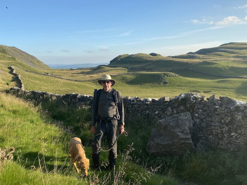
    To conserve diesel we have decided to do another walk from Brigholme Farm today.  Leaving the farm we turn right and head into Settle leaving the centre of town via Constitution Hill and then continue along the tarmac narrow lane towards Langcliffe.

    At the end of the lane we turn right and follow the pavement besides the B6479 for a short distance to reach Main Street where we turn right and wander into Langcliffe to reach a Victorian fountain which, following the First World War was converted to a War Memorial with the addition of a memorial cross to commemorate the eleven local men who died in the conflict.  It was unveiled in July 1920 and then in 1955 the names of four local men killed during World War II were added.

    I have previously researched the backgrounds of the men listed on the memorial who lost their lives in the first World War.  It is a stark reminder that they were not destined to be soldiers, before joining the conflict these men included a Bank Clerk, Policeman, Paper mill worker, Quarrymen and a Head Teacher and their ages were between 20 and 35.

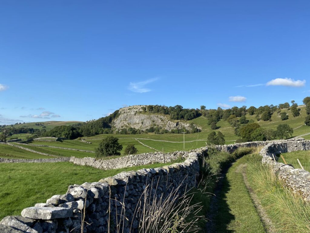
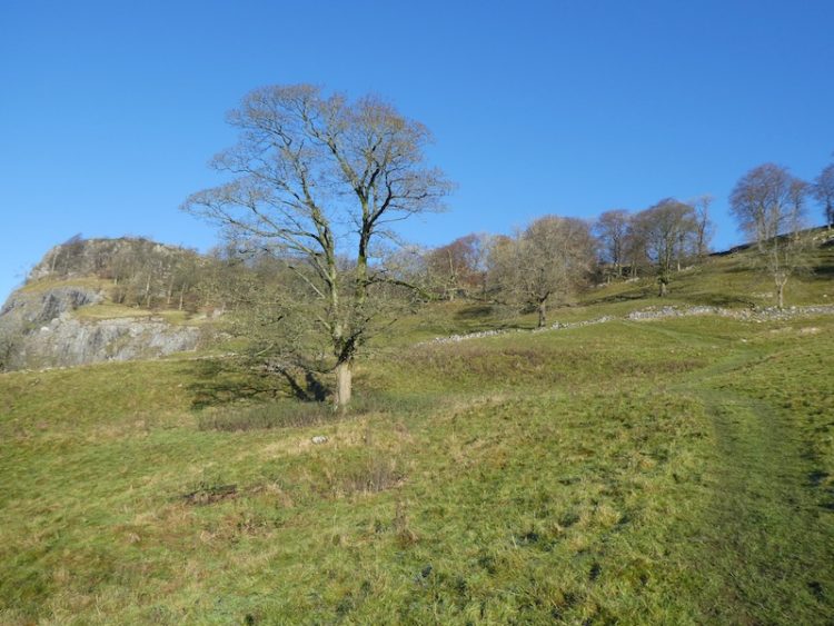
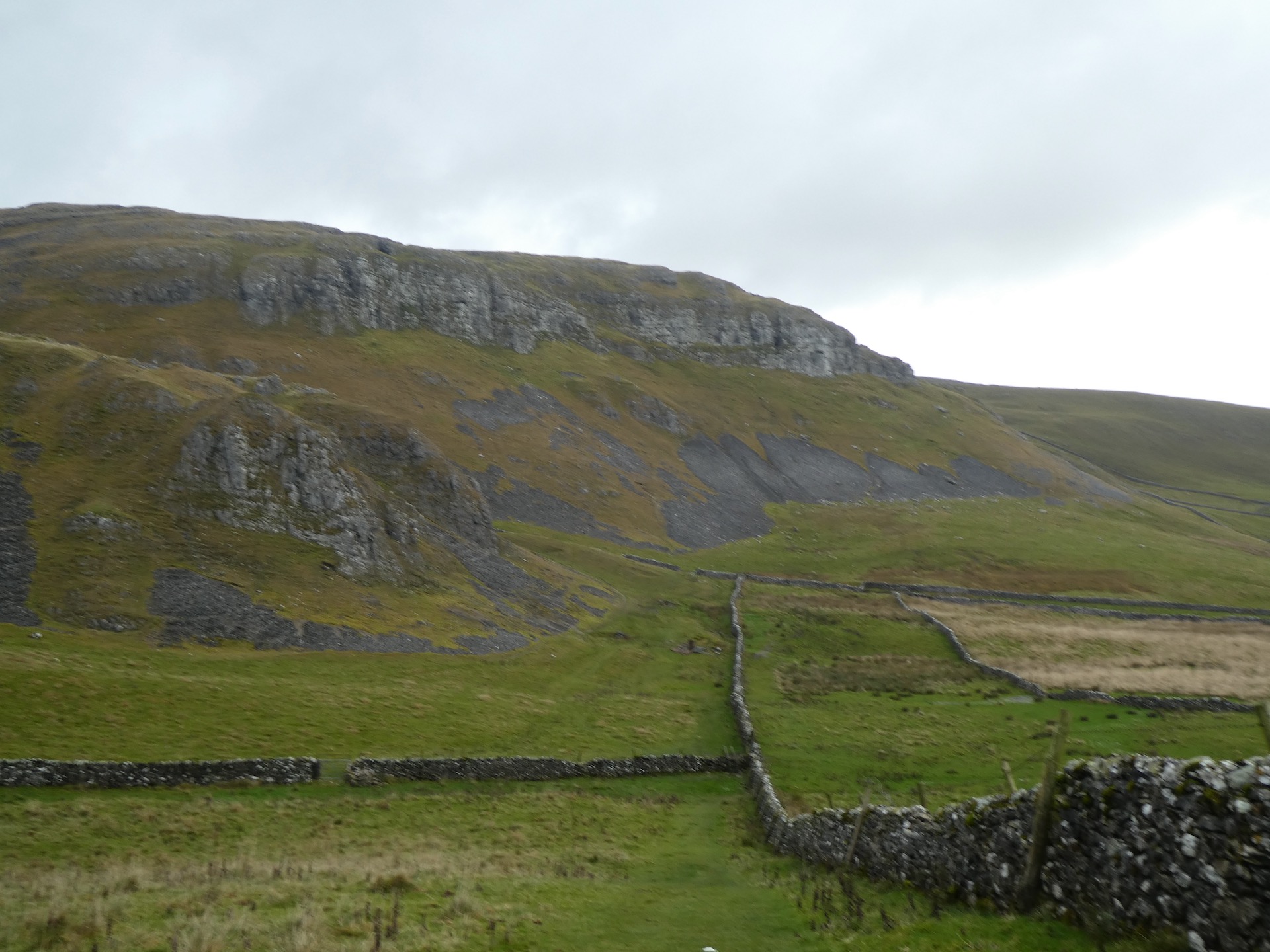
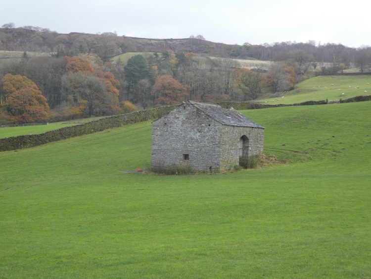
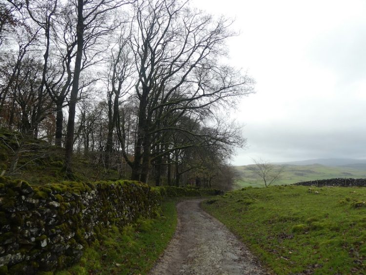
    From the memorial we take a lane heading north which leads through the village to join a walled track which continues north.  Soon after leaving the village we ignore a footpath on the left and keep with the walled track heading towards the disused Langcliffe Quarry.

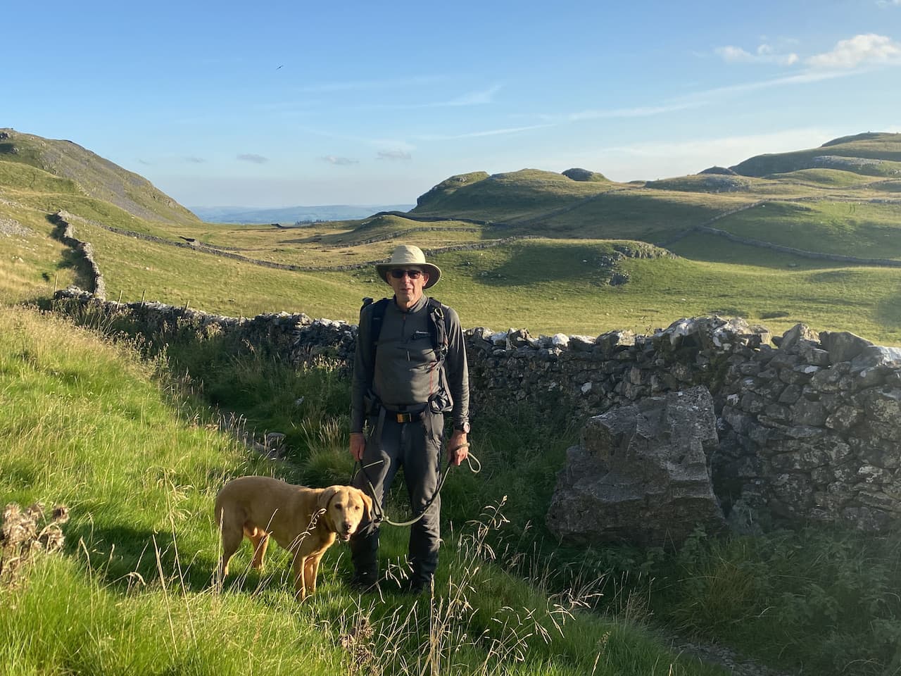
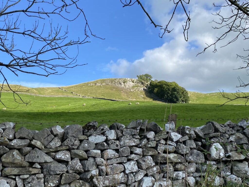
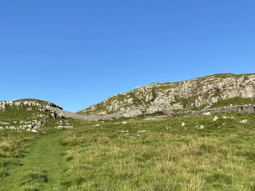
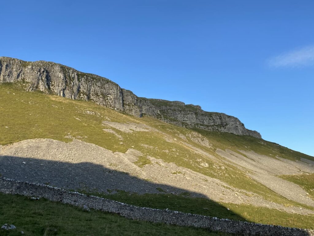
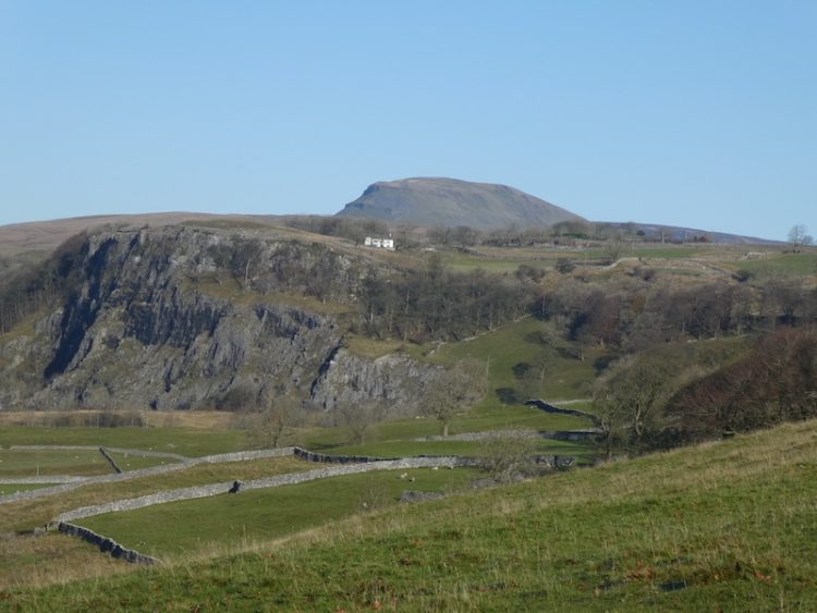
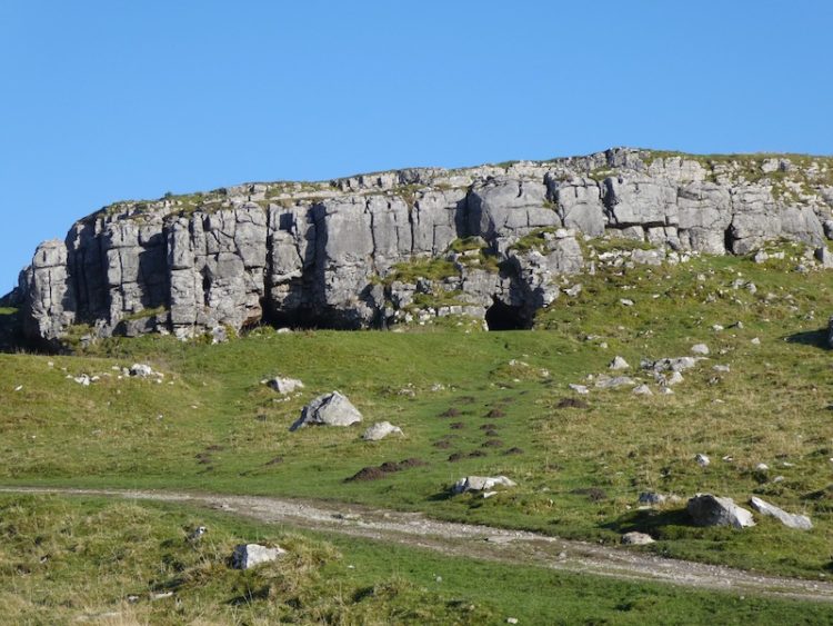
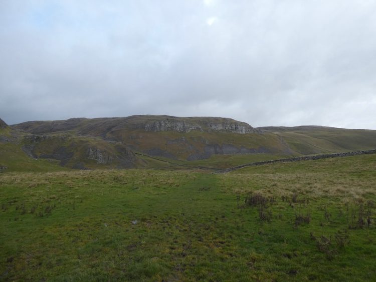
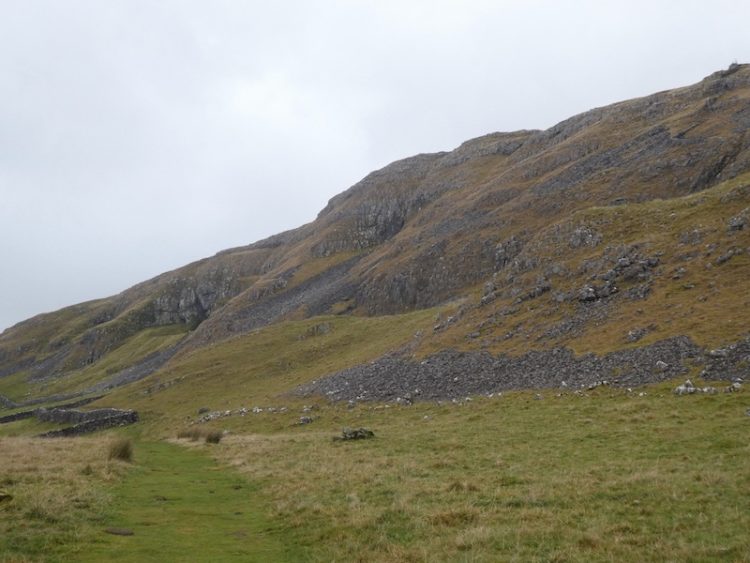
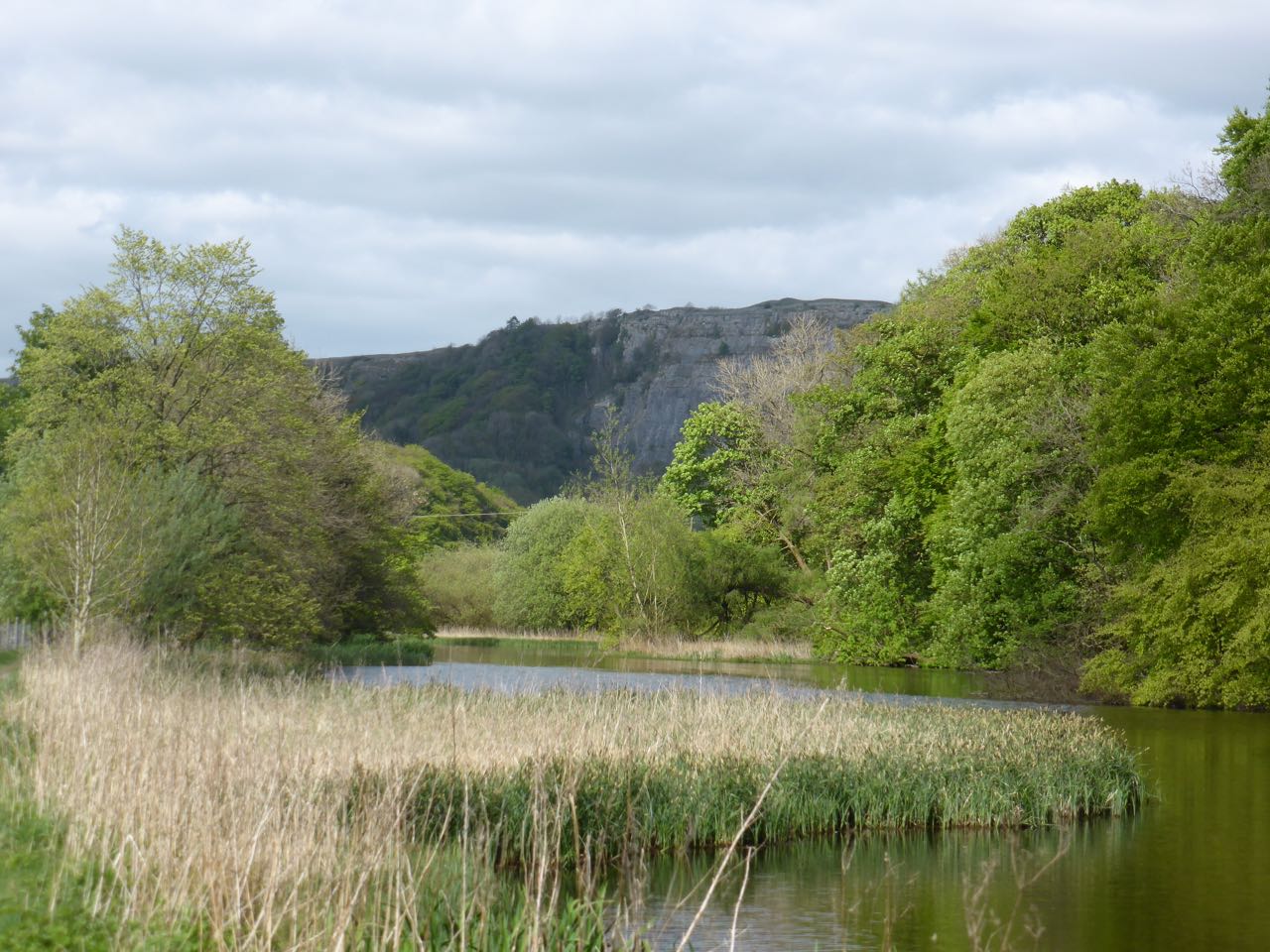
    Reaching a gate we enter a field of pasture and follow the path as it runs close to the wall and then starts to climb besides the quarry.  There are fine views back down the Dale from here.

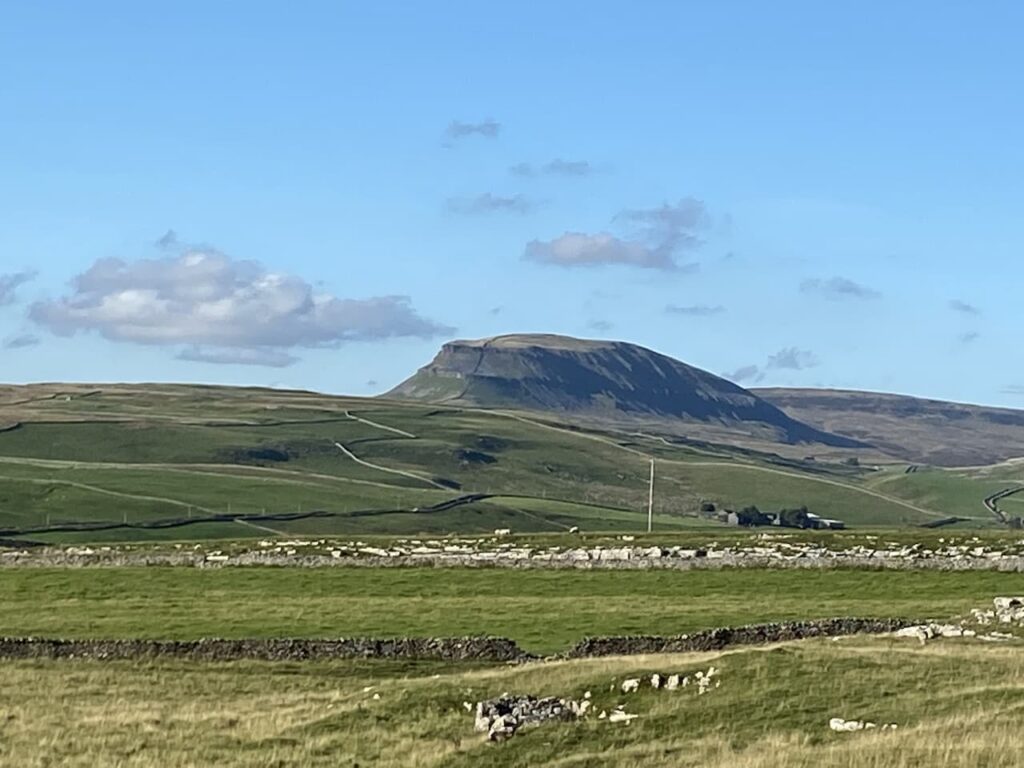
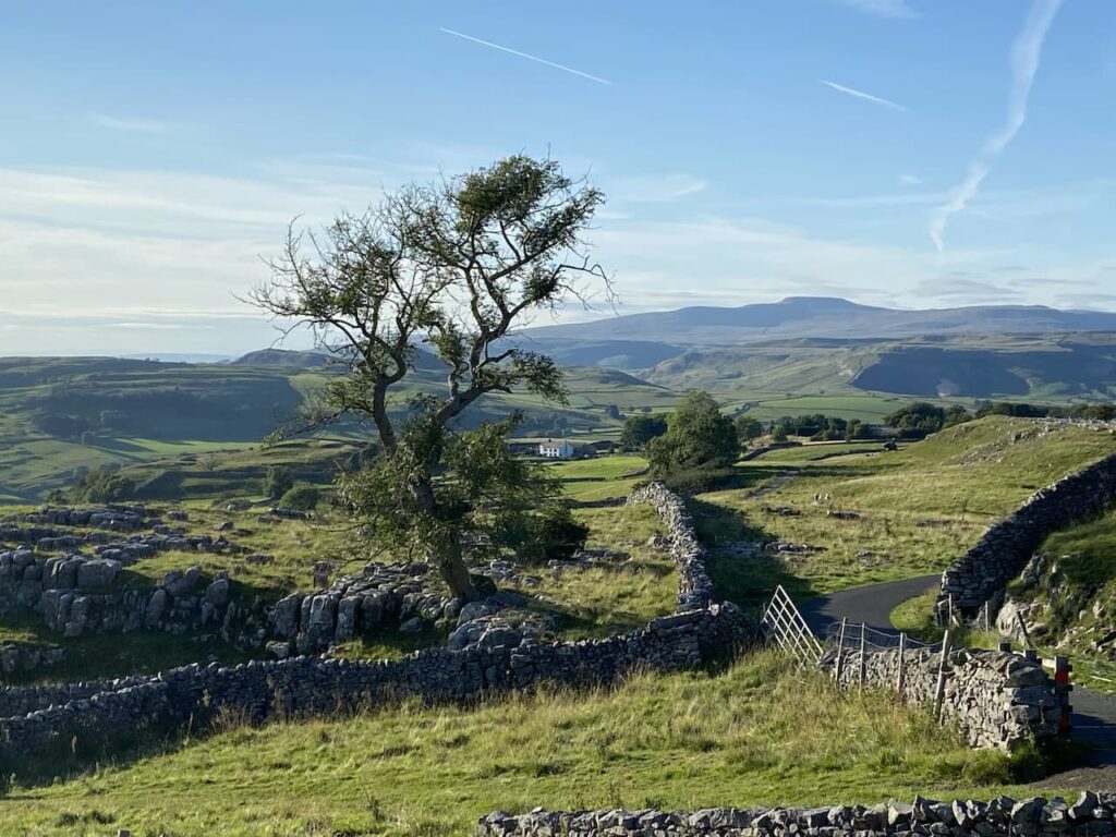
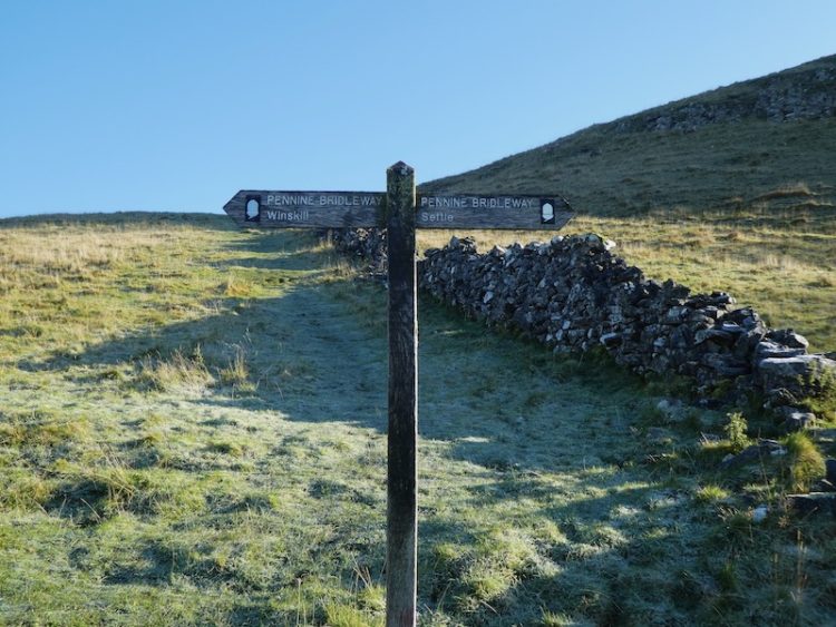
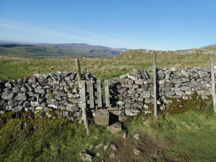
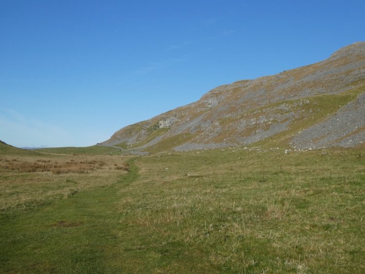
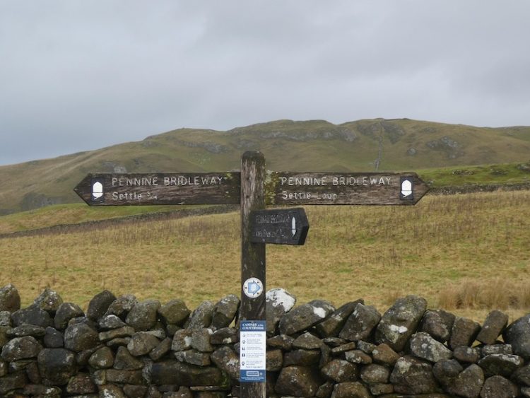
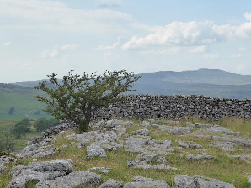
    It is a short steep ascent to reach pasture land and follow the path to reach a wall gate.  We go through and turn right  on the track and head up to Upper Winskill passing through a gate besides a cattle grid.  Now we continue on the path with a wall on our left and stay with this path to reach a gate with cracking views of Peny-Ghent in the distance.

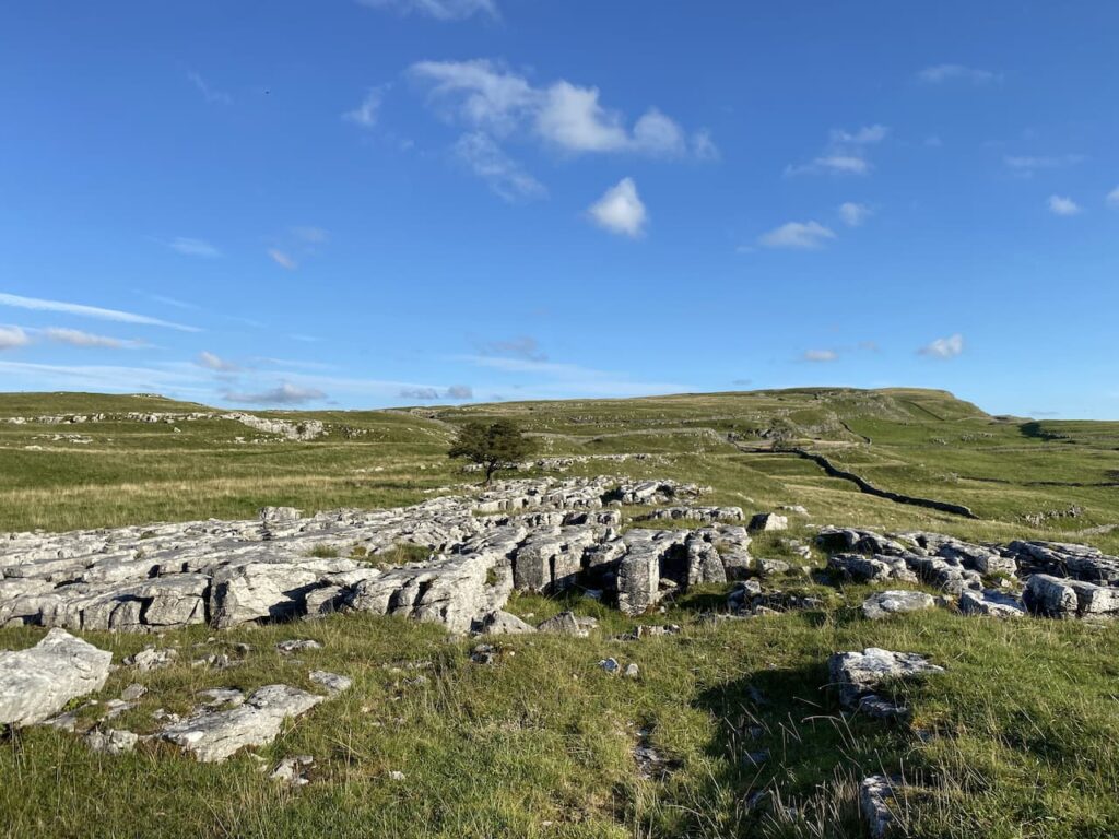
    We have joined the route of the Pennine Bridleway and stay with this as it crosses a couple of fields to reach a gate to a walled track. On our right is a path to the Catrigg Force waterfall, we ignore this and follow a path descending towards Stainforth.

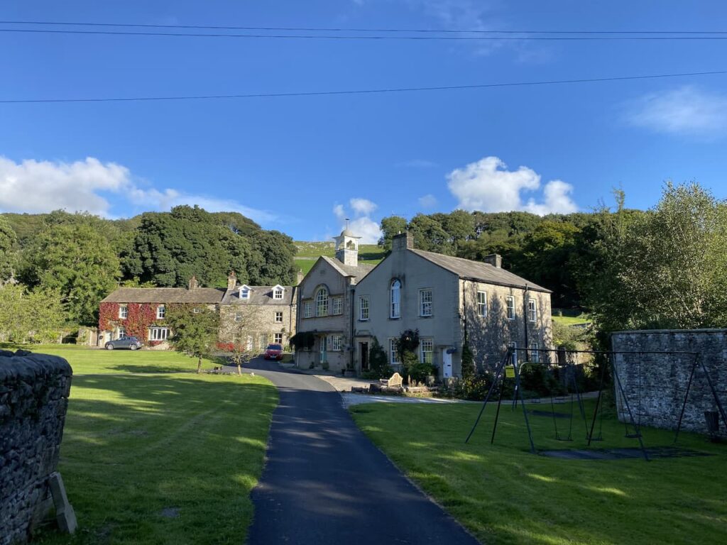
    In the village we traverse the stepping stones over Stainforth Beck and continue through the village past the church of St Peter which was built in 1873.

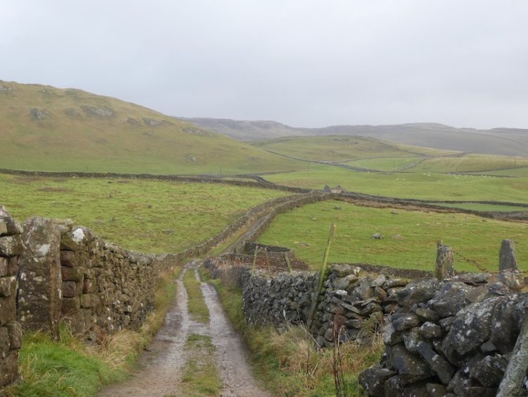
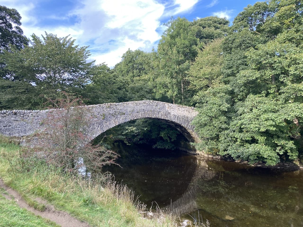
    From the church we continue down the lane to reach the B6479 which we cross and turn right along the pavement.  We quickly reach a narrow lane on our left, Dog Hill Brow, and take this, soon crossing a bridge over the Settle to Carlisle Railway line.  The lane continues steadily downhill towards the River Ribble which we cross on an ancient pack horse bridge built in 1675 and then turn left to join a path besides the river.

    This spot by the river is popular with families to picnic and paddle.  The braver or foolhardy also wild swim here.  With the current low water levels the river looks benign, but after a storm the force of the water here can be very scary.

    We have now joined the route of the Ribble Way, a seventy-two mile long distance footpath that roughly follows the route of the river from Longton near Preston, where the river reaches the sea, to its source at Gearstones close to the Ribblehead Viaduct. 

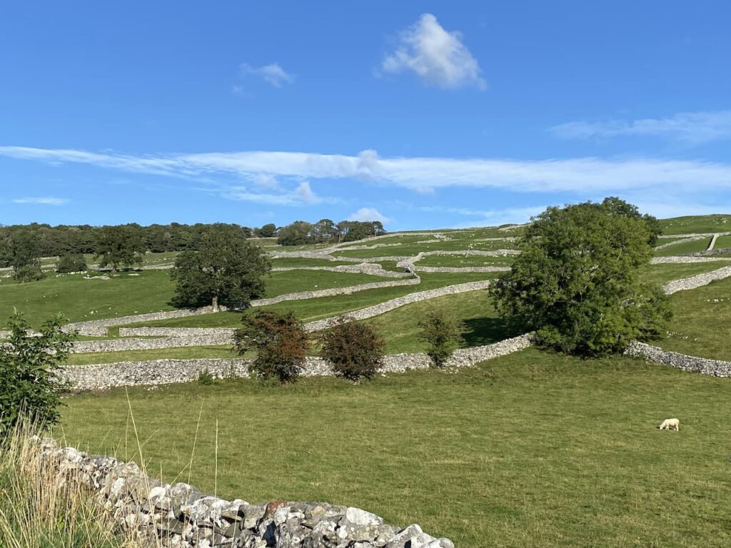
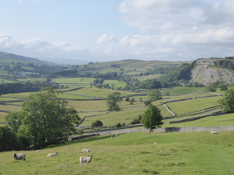
    We stay with it through fields with the river always close on the left.  At times we are high above it and then the path heads down to be alongside the water again.  Despite being a well walked path we do not meet anyone as we head along and pass through a docile herd of cows.

    When the path reaches a weir, we turn right along a walled track towards Stackhouse Lane.  The weir was constructed to divert water to the mill pond of Langcliffe High Mill which was built in 1780 and was one of Yorkshire’s earliest and largest cotton-spinning mills.

    At Stackhouse Lane we turn left and follow the road for about half a mile, still on the route of the Ribble Way.  At a footpath on the left we go into a field and follow the Ribble Way as it heads back towards the river.

    The path leads across fields and enters the edge of Settle close to a school playing field and the Settle Football Club ground.  At Settle Bridge we have the option of staying on the Ribble Way and following this back to Brigholme Farm, or crossing the bridge and going back via the town.  We opt for the latter.

    It has been a pleasant afternoon walking, but now it is time to make our preparations for leaving in the morning for the Peak District.  Already I am trying to work out when we can slot in our 2022 visit to Settle.

    You can view this 8 mile walk on OS Maps and download the GPX File Here

    To follow this walk you will need Ordnance Survey Outdoor Leisure Map OL2 – Yorkshire Dales – Western Area

    26th September 2021

    © Two Dogs and an Awning (2021)

    All information on this site is provided free of charge and in good faith and no liability is accepted in respect of damage, loss or injury which might result from it.  To the best of my knowledge the routes are entirely on public rights of way or within areas that are open for public access.
    Walking can be hazardous and is done entirely at your own risk.  It is your responsibility to check your route and navigate using a map and compass.

  • Reaching 2,021 “Boots On” Miles

    Reaching 2,021 “Boots On” Miles

    Lynnie has suggested that today I should take it easier having completed the clockwise route of the Three Peaks yesterday.   I am broadly in agreement, but have in mind that I am nearing reaching 2,021 “boots on” miles in 2021 and want to make sure I achieve the target somewhere memorable.

    One of Lynnie’s favourite spots in this area is Winskill Stones, it is a place we visit on every journey.  The last time we went there we did a short circuit from Langclffe because Dexter was getting too old to walk far.  Today we are going to walk from the caravan.  Leaving Brigholme Farm CL we turn right and head into Settle and leave the centre of town via Constitution Hill and then continue along the tarmac narrow lane towards Langcliffe.

    At the end of the lane we turn right and follow the pavement besides the B6479 for a short distance to reach Main Street where we turn right and wander into Langcliffe.

    We have visited Langcliffe many times but I do not recall wandering around the green so we head across to the former Wesleyan Chapel.  This was built in 1903 as an extension to the next door Sunday school which was built in 1852.  The chapel and school building were converted into a private house in 2001.  

    We continue around the green to pass the entrance to the church and then cross the road and go through a car park besides the former school and join Pike Lane and then continue along a walled track lane.  The fields on either side of the track are a stunning patchwork of dry stone walls.

    The path continues heading north towards the former Langcliffe Quarry.  Reaching a gate we meet another walker, she is unsure of the route she needs to reach Stainforth.  I explain the two options and she chooses to walk with us for a while until she reaches the path down to Stainforth.  

    Through the gate we enter a field of pasture and follow the path as it runs close to the wall and then starts to climb besides the quarry. It is a short steep ascent to reach pasture land.  In the Spring this is an abundance of wild flowers.  After going through a wall gate we turn right on the track and head up to Upper Winskill passing through a gate besides a cattle grid.  Now we continue on the path with a wall on our left.  There are cracking views of Peny-Ghent from here.

    At this point we bid farewell to our fellow walker.  We turn right heading across the access land towards Winskill Stones.  The limestone pavement around here is stunning, but sadly there is not as much as there once was.  For some reason, probably greed, it was thought a good idea to dig up the limestone for people’s rockeries.  The gardener Geoff Hamilton campaigned against this and after his death in 1996 the charity Plantlife was able to buy and safeguard the area for future generations.

    After looking at a section of limestone pavement we join a farm driveway and follow this to reach a minor road. 

    We turn right soon passing a cattle grid and within a hundred yards take a grassy track on the left leading across access land to a gate in the wall.   We continue heading south across the access land on a grassy track to reach a stony track.  

    Here we turn left and go up to a gate then almost immediately turn right through a kissing gate and follow the path besides a drystone wall.  To our left is Brent Scar and as we reach the path leading up to Victoria Cave I reach the point where I have walked 2,021 “boots on” miles in 2021.

    This is the earliest I have reached my walking target, last year I achieved the target on 16th October and the two previous year it was in November.  Lynnie suggests I ease up on the walking now with no need to keep notching up miles. It is an interesting idea but I want to walk further this year than last when I clocked up 2,542 miles.

    We continue besides the drystone wall to another kissing gate. The path now goes across a field below Attermire Scar to a gate in the wall.

    Through the gate we continue downhill through limestone outcrops and then turn right to follow the route of the Dales High Way heading west. There are cattle spread about in these fields and we are very conscious of avoiding getting between any cow and her calf.  We are now below the impressive scar of Warrendale Knotts.

    After going through a gate we start to descend steeply.  The views are stunning.  It is so clear we can see for miles with Ingleborough standing out in the distance.

    We keep heading downhill on the steep grassy path and then veer to the left to pick up a walled track heading back towards Settle.

    We arrive back in Settle at the Market Square and then head back to Brigholme Farm CL.  It has been a cracking walk on a stunning day.  Since losing Dexter we have revisited many places we had taken him but being at Winskill Stones without him was particularly sad.

    As it is a milestone day reaching 2,021 miles we decide to pop along the road to the Craven Arms and enjoy a couple of pints of excellent ale from the Bowland Brewery.

    You can view this 7 mile walk on OS Maps and download the GPX File Here

    To follow this walk you will need Ordnance Survey Outdoor Leisure Map OL2 – Yorkshire Dales – Western Area

    16th September 2021

    © Two Dogs and an Awning (2021)

    All information on this site is provided free of charge and in good faith and no liability is accepted in respect of damage, loss or injury which might result from it.  To the best of my knowledge the routes are entirely on public rights of way or within areas that are open for public access.
    Walking can be hazardous and is done entirely at your own risk.  It is your responsibility to check your route and navigate using a map and compass.

  • From Settle to Winskill and Sugar Loaf

    From Settle to Winskill and Sugar Loaf

    We are nearing the end of our current trip to Brigholme Farm CL, but still have time to fit in another of our favourite walks from the site.

    Leaving Brigholme Farm CL we turn right and head into Settle and leave the centre of town by Constitution Hill soon joining the walled footpath as it heads steadily uphill on the route of the Pennine Bridleway.

    Passing through a gate we stay on the bridleway as it continues below Blua Crags.  After passing through another gate we enjoy a stunning view of Langcliffe Quarry with Pen-y-ghent behind it.

    As the main path veers uphill to the right we take a path heading downhill to go through a gate and then continue to descend into Langcliffe. We enter the village besides the old school, which is now being converted into a private dwelling, and turn right to take a path heading north.  From the village we join a drystone walled track towards Langcliffe Quarry.

    We ignore footpaths to our left and stay on the track with the disused quarry becoming evermore prominent in front of us. At a gate we enter a field of pasture and follow the path as it runs close to the wall and then starts to climb besides the quarry. 

    It is a short steep ascent to reach pasture land.  When we have visited here in the Spring it is an abundance of wild flowers.

    After going through a wall gate we turn right on the track and head up to Upper Winskill after going through a gate besides a cattle grid we turn right on the farm driveway and follow this back towards a minor road. 

    We join the road and turn right, soon passing a cattle grid and within a hundred yards take a grassy track on the left leading across access land to a gate in the wall. 

    After crossing the wall we continue to a junction of paths where we turn left and head up to a ladder stile.  On the far side we join a track close to Jubilee Cave and turn right.

    As we near a farm gate we fork left to go through a kissing gate and follow the path besides a drystone wall.  To our left is Brent Scar and we soon pass Victoria Cave and continue along to another kissing gate. The path now goes below Attermire Scar towards a gate in the wall.

    After going through the gate we descend and cross a couple of ladder stiles and then head south to walk besides Sugar Loaf hill.  The path descends to reach a ladder stile.  After crossing we join a track, Stockdale Lane and head down to a minor road, High Hill Lane.  We turn right along the road and after a few hundred yards take a track on the left, Lambert Lane. 

    I have walked this lane a lot during this stay, but this is the first time in this direction.

    At the end of the lane we join Mitchell Lane and follow this as it heads steeply downhill towards Settle.  Our walk has covered just over eight miles; it has been a cracking afternoon to be outside.  Now it is time to start the preparations for our journey back home tomorrow.

    To follow my walk you will need Ordnance Survey Explorer Map OL2 – Yorkshire Dales [Western Area]

    You can view this 8 mile walk on OS Maps and download the GPX File Here (Subscription to OS Maps Required)

    18th November 2019

    © Two Dogs and an Awning (2019)

  • Revisiting Attermire Scar

    Revisiting Attermire Scar

    I am near to hitting my target of walking 2,019 miles in 2019.  This is the second year that I have “walked the year”; last year I reached 2,018 miles on the Quantock Hills a favourite spot for me.  This year I plan to complete my quest whilst walking in the Yorkshire Dales and hopefully somewhere near the summit of Ingleborough.  

    After a near 300-mile journey yesterday we arrived at Brigholme Farm CL in the dark.  It is the measure of our confidence in caravanning that we no longer worry about pitching up in the dark, levelling the van and erecting an awning by the light of a head torch.  Soon we were snug inside the van.

    After yesterday’s driving I am reluctant to go far in the car, so soon after breakfast I am heading off with Crosby for a walk from Brigholme Farm CL.  Leaving the site I turn right along Station road and then after crossing the Penny Bridge I take a right turn into Cammock Lane. At a crossroads I go straight across into Ingfield Lane and stay on this lane as it forks right, then within a few hundred years I turn right along Brockhole Lane, which understandably is known locally as Watery Lane.

    I follow this dry stone walled lane until the end, ignoring footpaths on the left and the right.  At the end of Brockhole Lane I turn left onto Lodge Road, despite its name this “road” is actually a track that heads uphill towards Lodge Farm. 

    At the top of the lane I reach Lodge Farm and after going through a gate I turn left and at a fork in the track take the right option. 

    I go through a gate and walk along the track by a plantation and then at a second gate follow the walled track.  At another gate I keep straight ahead keeping Black’s Plantation on our right.

    At the junction of Mitchell Lane and Lambert Lane I fork right into Lambert Lane and follow this walled track, enjoying the views.  

    Reaching a road it is a right turn and then shortly a left onto Stockdale Lane.  In a few hundred yards at the bend I go over a ladder stile to follow the path as it gradually climbs up alongside the wall.   

    I head over Sugar Loaf Hill; now in front of us is one of my favourite views in the Dales, the spectacular escarpment of Warrendale Knotts and Attermire Scar. 

    From here my route is under Attermire Scar, passing Victoria Cave.

    After going through a kissing gate I turn left and go through a gate on a farm track to descend downhill through another gate.  I then take the path on the left way-marked the Pennine Bridleway. 

    Now it is case of following the path across a couple of fields below Blua Crags before descending on a walled track to return to Settle and then back to Brigholme Farm.  It has been a cracking wander covering just over seven miles. 

    To follow my walk you will need Ordnance Survey Explorer Map OL2 – Yorkshire Dales Southern & Western

    You can view this 7 mile walk on OS Maps and download the GPX File Here (Subscription to OS Maps Required)

    11th November 2019

    © Two Dogs and an Awning (2019)

  • Winskill Stones from Langcliffe

    Winskill Stones from Langcliffe

    One of Lynnie’s favourite places in the Dales is Winskill Stones.  It is a spot we have walked to on a number of occasions from Brigholme Farm CL.  However, because Dexter is struggling with longer walks we are going to do a short version today and start from the delightful village of Langcliffe.
    (more…)

  • A Circuit to Langcliffe

    A Circuit to Langcliffe

    After five nights at Hall Croft CL we have moved on to Brigholme Farm in Giggleswick, just the other side of the River Ribble from Settle.  This is a CL we have stayed on many times and the trip up from Ilkley does not take us long, so I am soon lacing up my boots to head out for a walk with Crosby.
    (more…)

  • Knackered Knees

    Knackered Knees

    When I awoke this morning I initially thought that I had got away with yesterday’s grueling walk without too much damage. But as soon as I jumped out of bed (or to be more accurate crawled) I realised that my right knee was giving me serious gyp.

    The early morning walk with the dogs on level ground and the movement appeared to ease the discomfort. It is a cracking day and I suggest to Lynnie that we take a saunter up to Victoria Cave again.
    (more…)