After yesterday’s abbreviated walk, due to feeling unwell, I had an early night and today feel a lot brighter. Still not 100% but well enough to venture out for a ten mile walk. My aim today is to visit one of the Exmoor trigs missing from my list of trigs bagged. I also hope to do a walk I planned a few years ago with Dexter and Crosby, but had to re-route due to frisky cattle.
The starting point is the Exmoor National car park in the centre of Exford. At the moment the parking is free but there is a notice saying parking charges will apply when meters have been installed. I leave the car park via the footpath at the far end of the parking area and head in a south-easterly direction along the edge of a field following the route of the River Exe.

At a junction of paths I turn left on a path signposted to Higher Combe.

I am now heading east along a track and keep going in that direction when the path enters a field of pasture.

The path leads to a metal gate on the edge of the field.

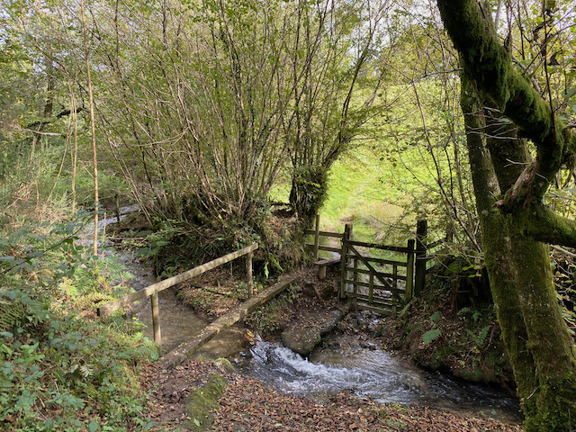
Going through the gate there is a short steep descent to a footbridge over a stream.

On the far side of the stream I head uphill across a field to join a track close to Higher Combe. I turn left and continue uphill on a concrete driveway.

At a junction with a minor road, Staddonhill Road, I turn right and walk along this lane, soon reaching a cattle grid with gate beside.

The map shows this lane as a minor road, in reality it is a dead end lane which leads to Staddon Farm. It was along this track that I encountered the frisky cattle a couple of years ago. There is evidence they’ve been here in the recent past but it looks like they have been moved elsewhere. In any case without the dogs a herd of cattle is easier to deal with.

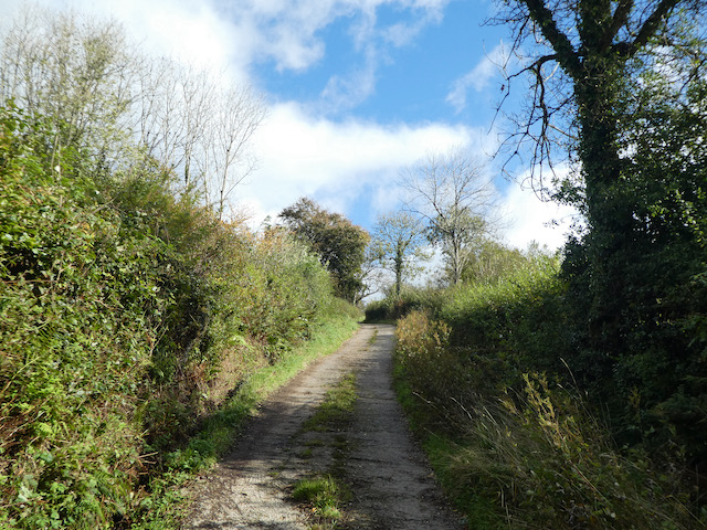
Staying with the tarmac driveway I pass a section of hedgerow that has recently been cleared. This looks drastic, but it is the traditional way of coppicing a hedge in this part of the country and it will soon regenerate.

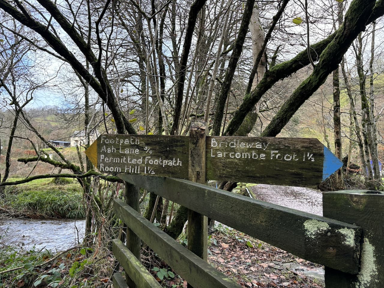
At a junction of tracks I continue through a gate on a restricted byway waymarked to Larcombe Foot.

At a junction of tracks the restricted byway turns right and starts to descend gradually, there is no public access on the path that goes straight.

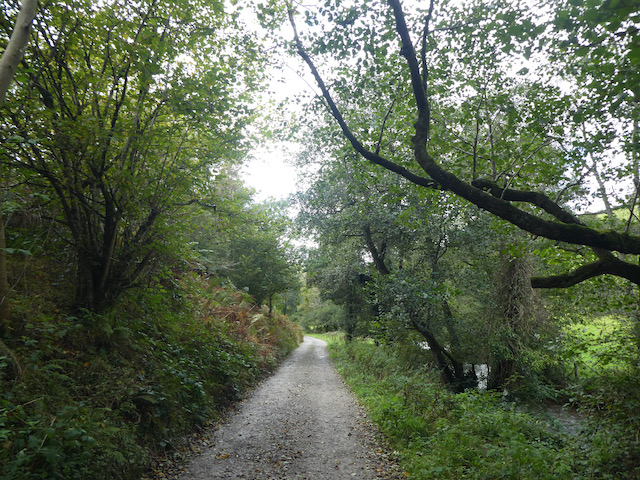
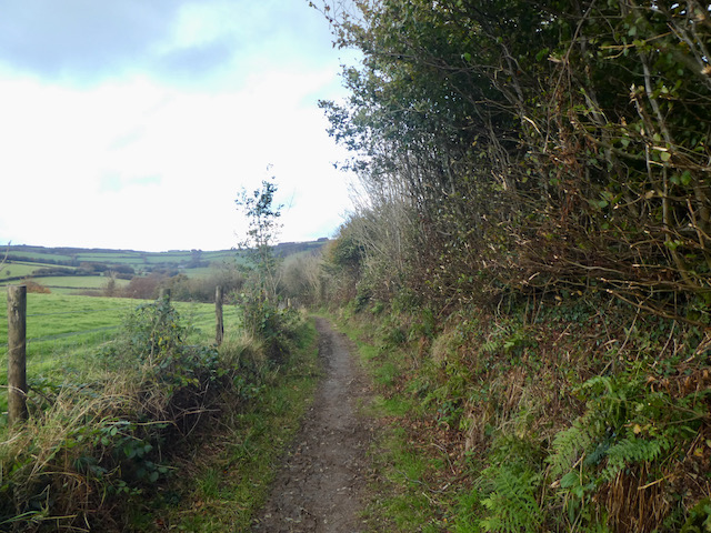
Turning left the track keeps going downhill, it is now shown on the map as Kemps Lane. After going through a gate the path continues to descend towards Kemps Farm.

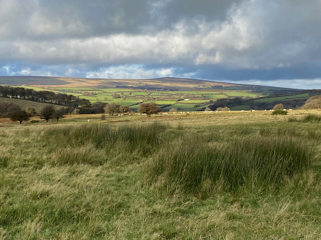
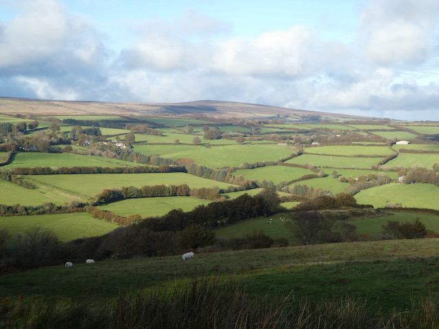
It is a cracking day and as I walk down the track there are fine views of the other side of the valley and the hill I will be heading up before too long.

After passing through Kemps Farm I reach a minor road. Instead of joining it I turn right and take a bridge over the River Exe.

After approximately 100 metres the track forks and I go to the left and head through a gate onto a track heading towards Bye Hill.

The track leads to another gate after which the path goes diagonally across Bye Common to the top of Bye Hill.

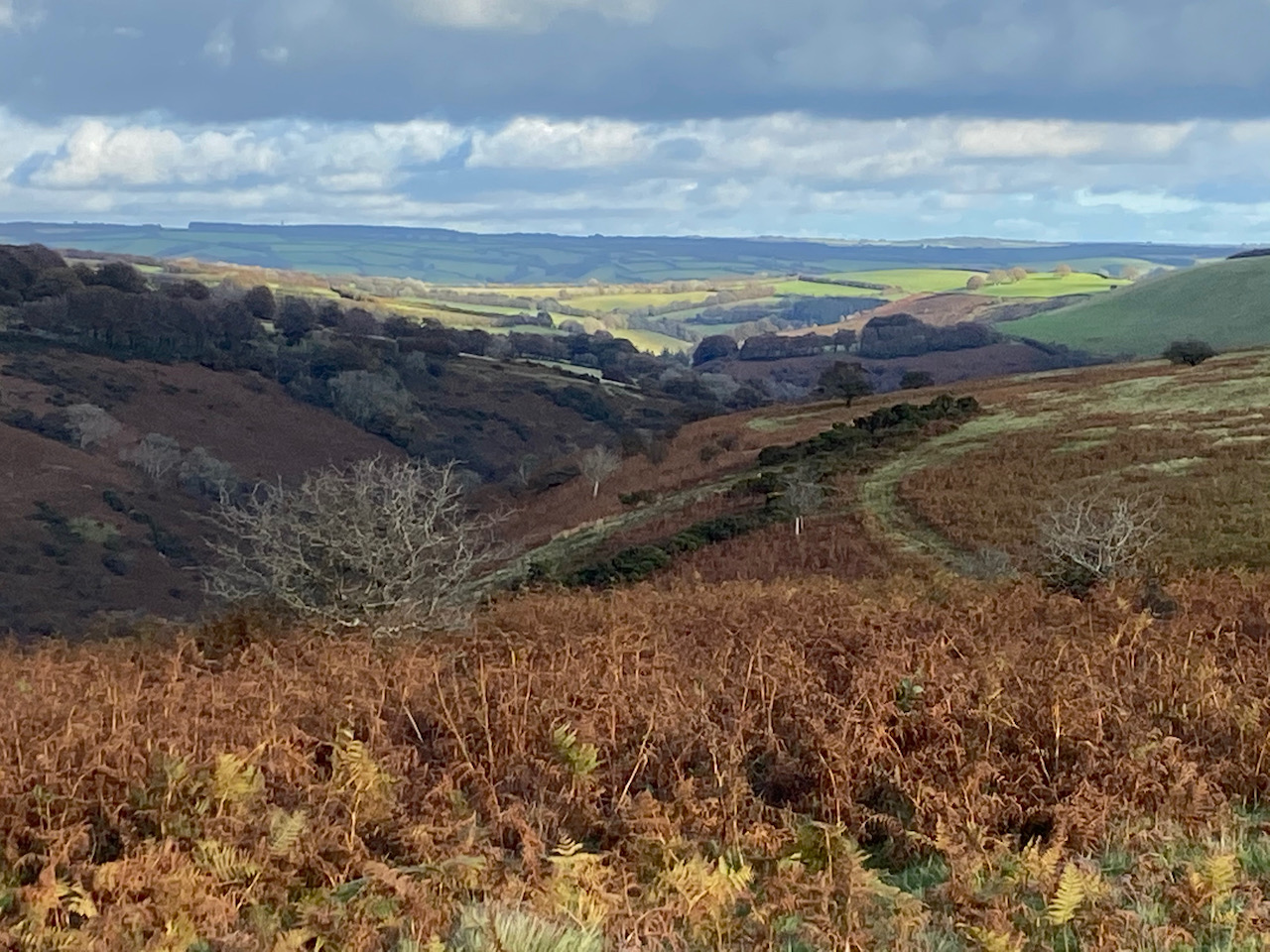
Heading up there are cracking views back across the valley over the area I walked earlier around Kemps Farm.

It is a stiff walk up this hill but the views make the effort well worth it. At the top of the hill the footpath divides and I take a grassy track on the right which starts a steady descent across Bye Common towards the River Exe.

When the track reaches a junction of paths at a gate I do not go through but instead keep heading west staying close to the fence line. Soon it becomes a sunken track and keeps going downhill towards the river.

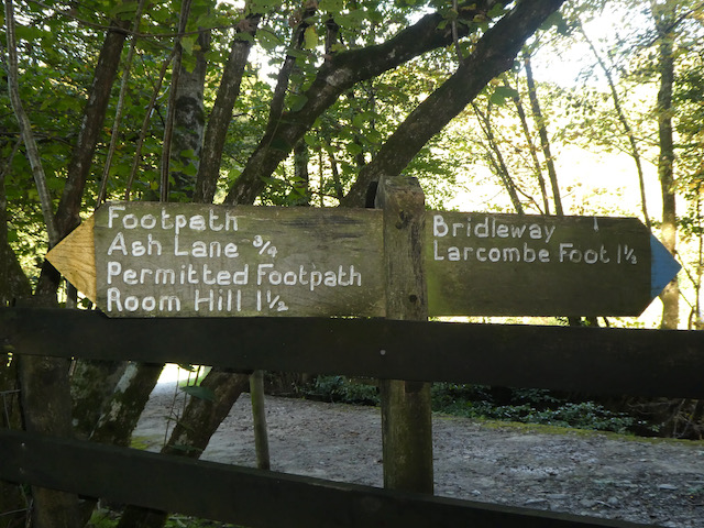
At a junction of tracks near the river I turn left towards Nethercote and almost immediately reach a bridge over the river. I don’t cross, but take a path on the left way-marked to Ash Lane and Room Hill.

Initially the path goes besides the river, but at a fork in the track I go left and head uphill away from the riverbank.

At first the path goes through trees and then crosses a couple of fields to reach a very boggy area. The map shows there is a spring here, but today the water running over the bank is like a torrent.

After going through a gate I turn right along the fence line onto a footpath which joins a grassy track going steadily downhill.

The path descends through an area of woodland and then across a field to reach the side of the River Exe by a footbridge and ford.

I turn left on the path as it hugs the river to my right and about one hundred metres after cross a stream and turn to the left to head uphill on a clear path that ascends steadily towards Room Hill.

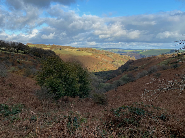
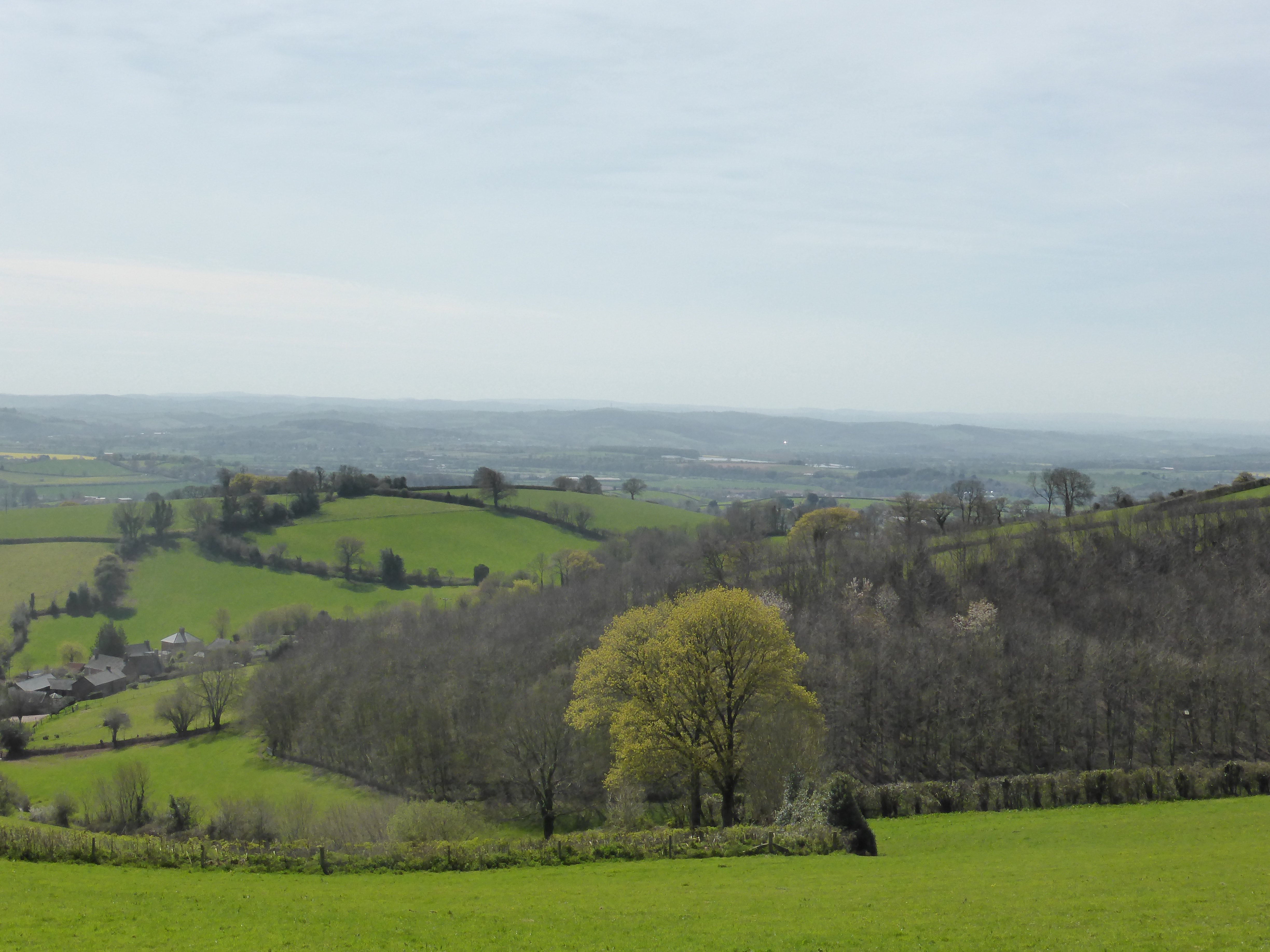
At a junction of paths I turn left following the way-markers for Room Hill, this path ascends steeply. As the path emerges from woodland there are stunning views back into the valley.

I am now on open access land but follow a well walked path across the summit of Room Hill heading towards Room Hill Road. At a gate near the road I make a diversion from my route and leave the access land and turn right to walk along the road for a few hundred metres to reach a gateway on the right leading into a field. Here I pop over a couple of gates and cross the field to reach the Chibbet Cross Ordnance Survey trig pillar. This is the 421st trig I have bagged.

From the trig I retrace my steps back along the road to the access land on Room Hill and head along the edge of the access land with the hedge line on my left. I am now on route of the Exe Valley Way, this is a long distance 52-mile path from Exford to Starcross where the River Exe reaches the sea.

I am heading towards a line of Beech trees and after passing the trees go through a gate and head downhill to reach a gate on the left. I go through and then cross a field whilst battling with a strong headwind.

On the far side I enter Court Copse and follow the Exe Valley Way as it goes through the trees and then beside fields.

The track leads to Court Farm where I have an option of routes, but decide to keep on the Exe Valley Way which goes to the left up a tarmac lane.

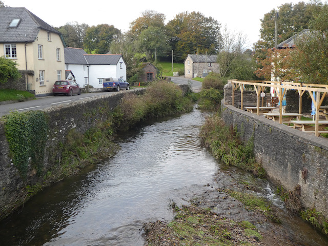
At a road junction at Monk Cross I turn right and then descend along the road into Exford where I turn right to cross the bridge over the River Exe and pass the Exmoor White Horse pub.

I now follow the road the short distance back to the car park. It has been a cracking nine mile route with some stunning views.
You can view this 9 mile walk on OS Maps and download the GPX File Here
To follow my walk, you will need Ordnance Survey Explorer Map OL9 – Exmoor
9th December 2023
© Two Dogs and an Awning (2023)
All information on this site is provided free of charge and in good faith and no liability is accepted in respect of damage, loss or injury which might result from it. To the best of my knowledge the routes are entirely on public rights of way or within areas that are open for public access.
Walking can be hazardous and is done entirely at your own risk. It is your responsibility to check your route and navigate using a map and compass.
