Tag: Dales Way

  • Langcliffe via Stackhouse

    Langcliffe via Stackhouse

    Following yesterday’s unsettled weather today’s forecast is for a warm, sunny day so we decide not to wander too far.  Crosby is not so keen on long walks in hot weather these days. We have a route in mind which will visit Winskill, but we have an option to shorten it if Crosby is struggling.

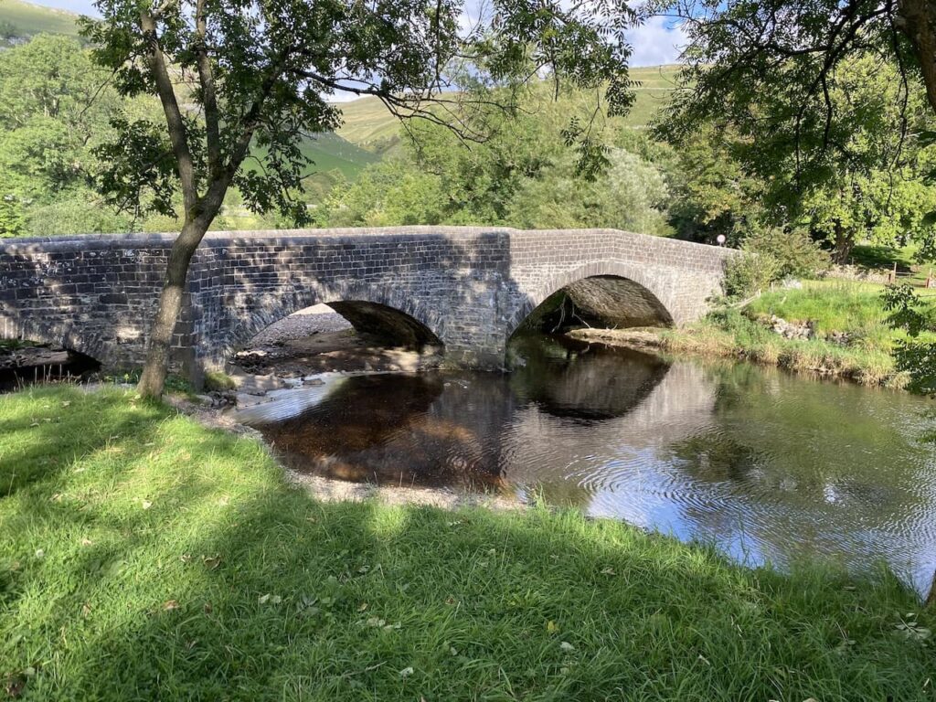
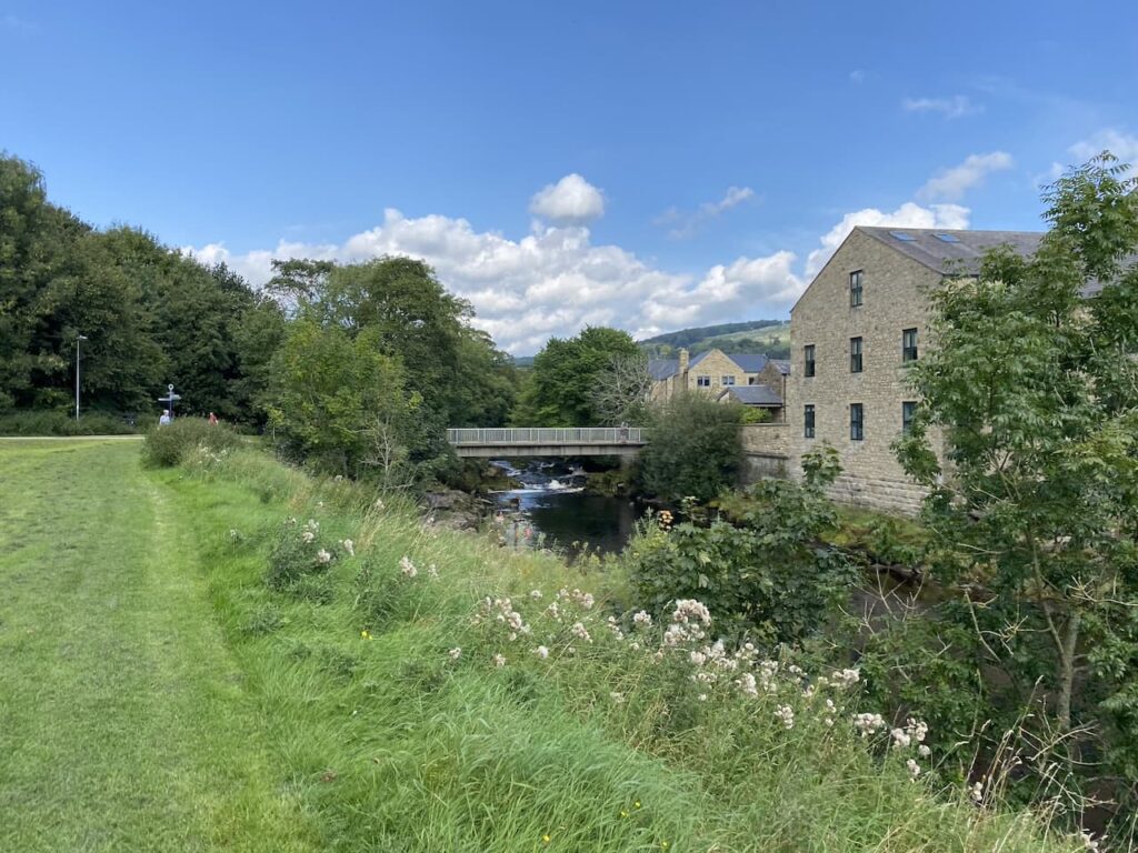
    Leaving Brigholme Farm CL we turn right and follow Station Road towards Penny Bridge.  Before reaching the bridge we turn left into Sandholme Close and soon join the Dales Way as it heads besides the River Ribble on a tarmac path.  We soon reach the Giggleswick Memorial Bridge with the converted Kings Mill on the far side of the river.  Kings Mill was an old cotton mill built around 1830 by John Proctor. 

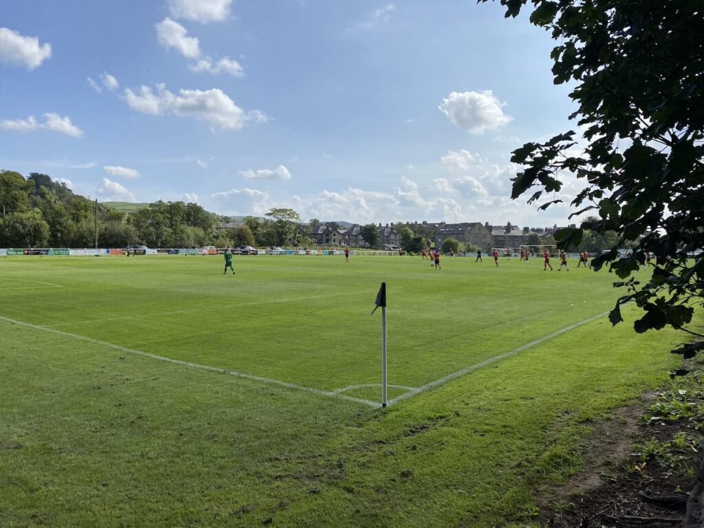
    Instead of crossing the bridge we continue along the path with the river to our right.  On reaching Settle Bridge we still keep the river to our right and cross the road to take the footpath which runs beside Settle United AFC’s football ground.  There is a match in progress so we watch as we slowly pass the side of the pitch.  Formed in 1884, Settle United AFC until recently played in the Craven Premier League which they won on a number of occasions.  They now play in the East Lancashire League and their website claims they are highly successful at this level.  However, today they look set for a defeat.  

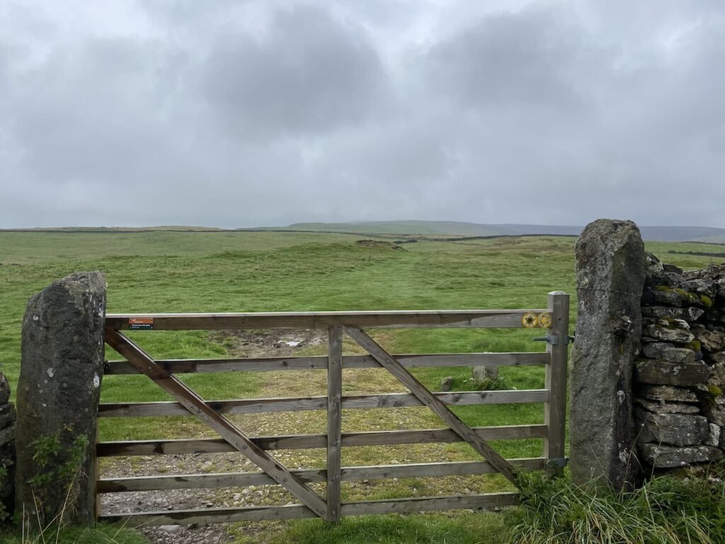
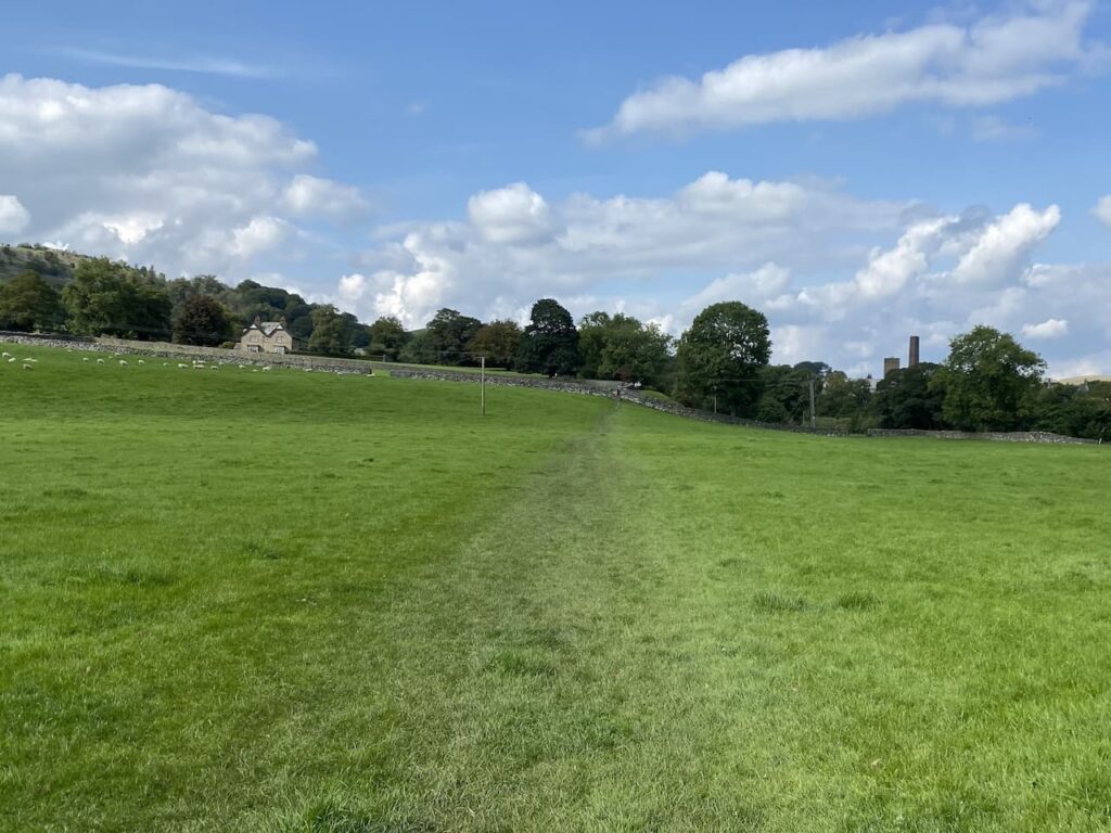
    After passing the school playing field we go through a wall gate and enter a pasture field following the Dales Way towards Stackhouse Lane.

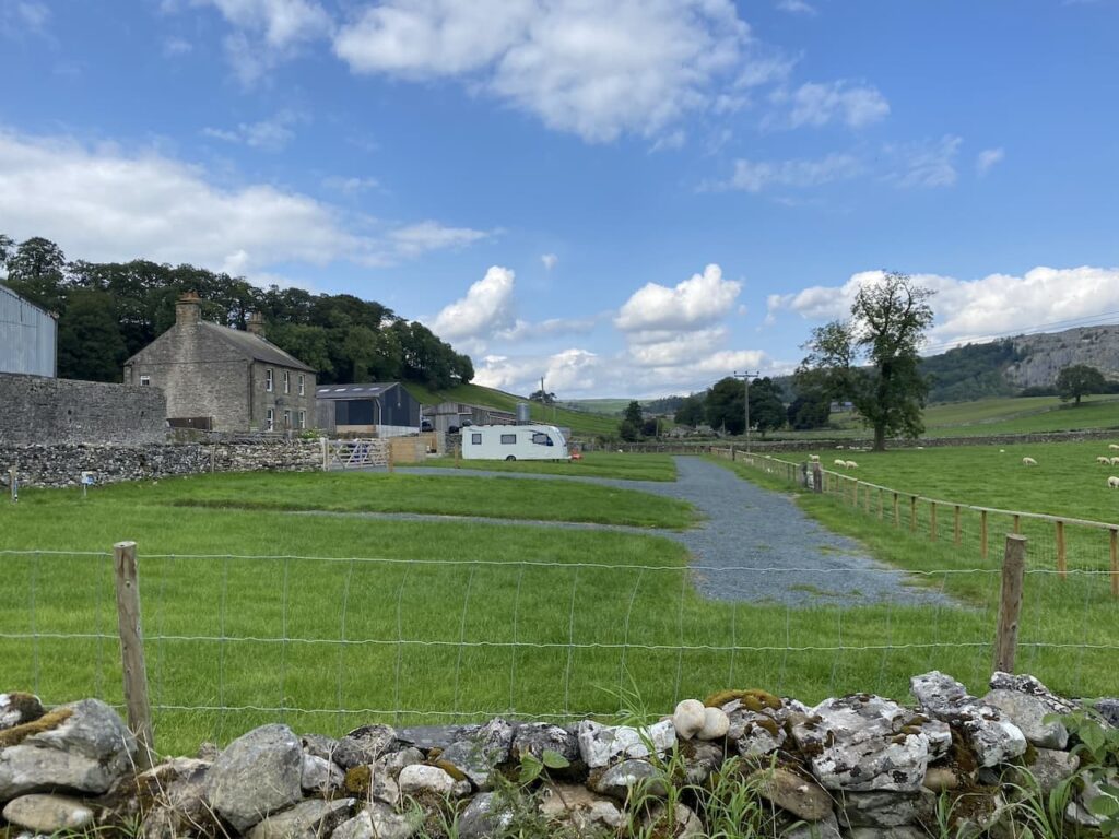
    After going through a couple of fields we reach the lane and turn right and walk along the road to reach Stackhouse Farm.  Since we were here last year a new Caravan and Motorhome Club CL site has opened at Stackhouse Farm.

    We take a footpath on the right just before Stackhouse Farm, this goes through a gate and follows a walled path towards the River Ribble.

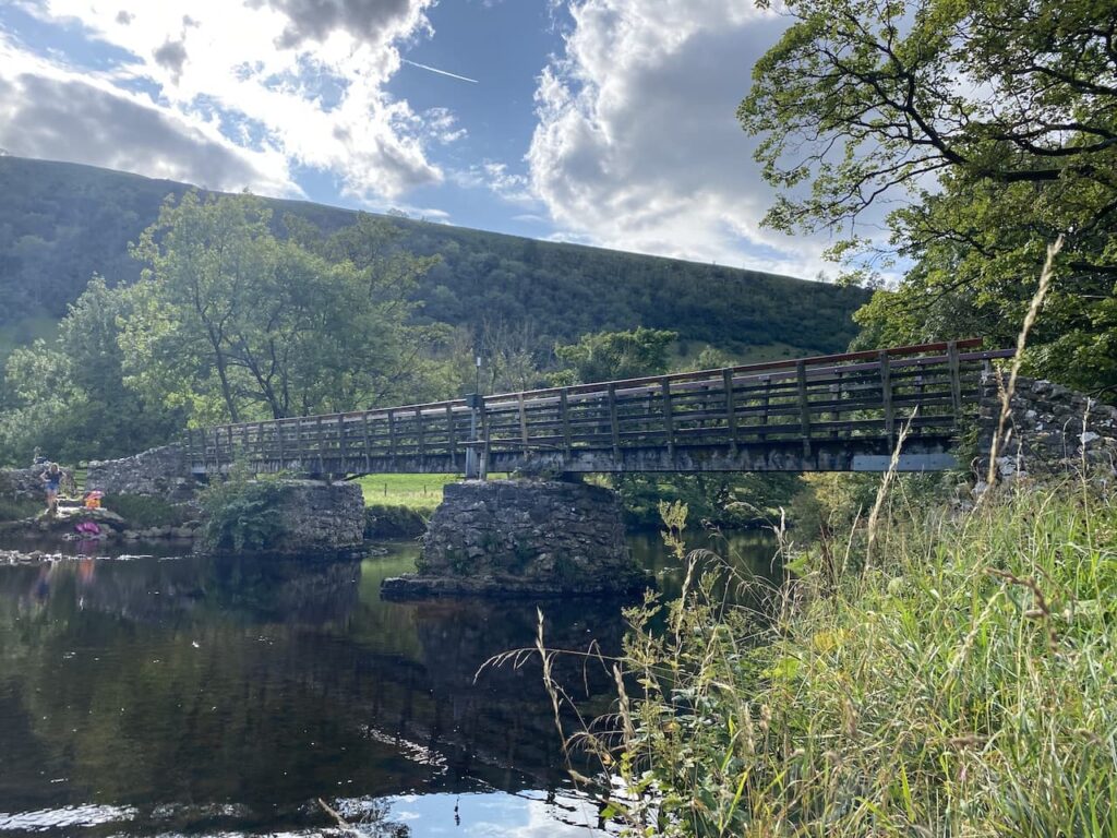
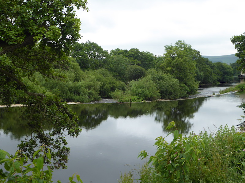
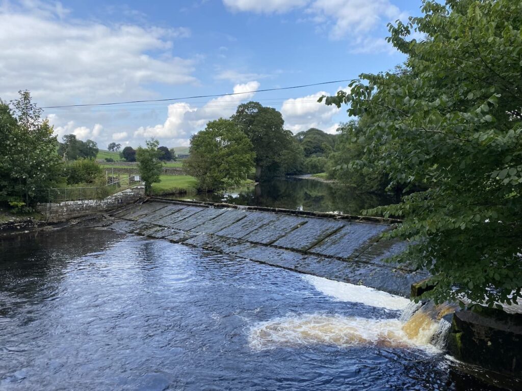
    At the river the Dales Way goes to the left, but we take the path leading over a bridge and past a weir.

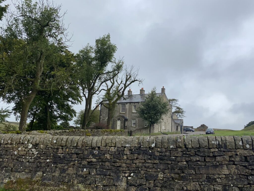
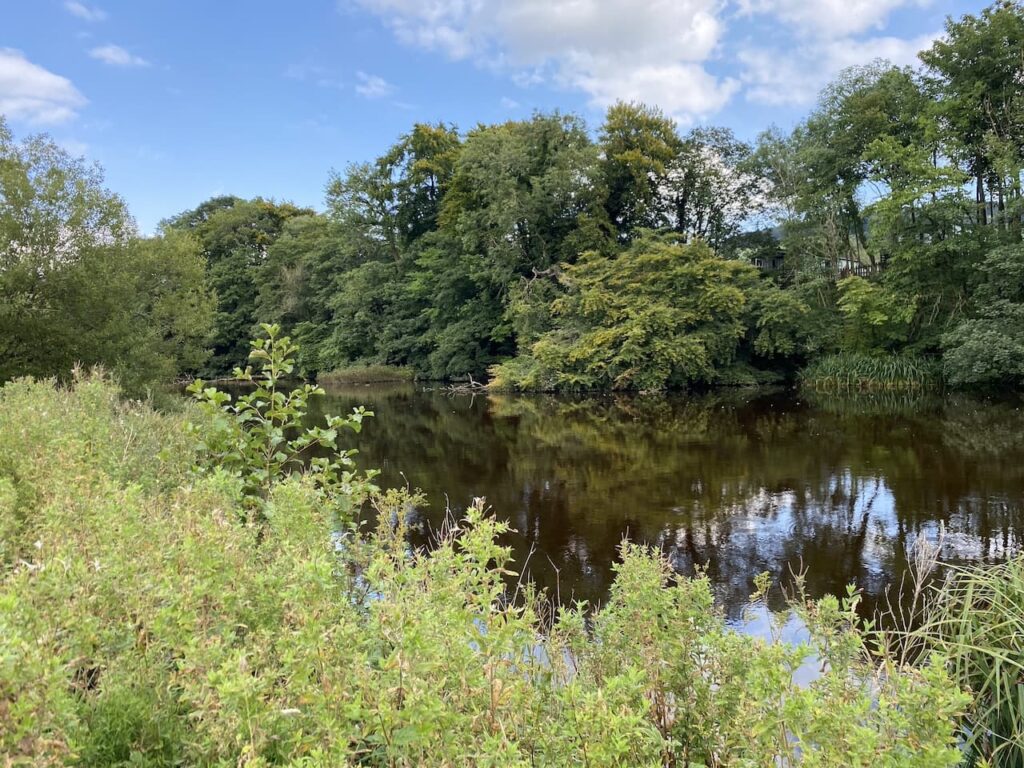
    On the far side of the river we turn right and walk through cottages on either side and then take a path besides the final cottage on the left.  This leads to a gate which we go through to walk beside the Mill Pond of Langcliffe Mill.

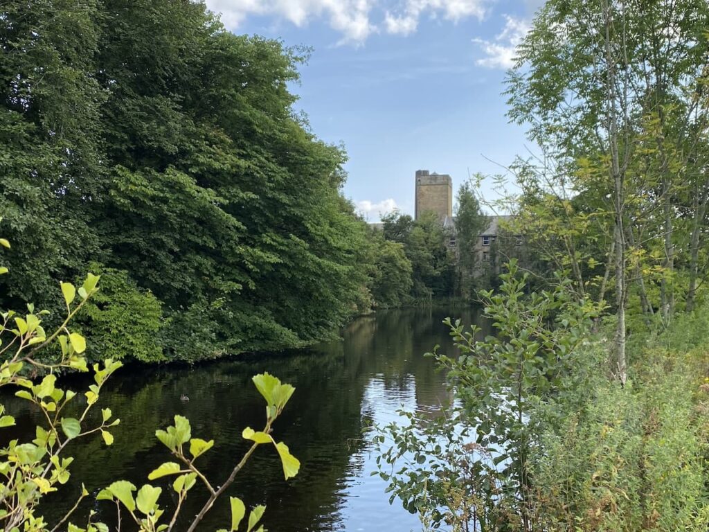
    The High Mill at Langcliffe was built in 1780 and was one of Yorkshire’s earliest and largest cotton-spinning mills.  It is still in use today as a paper mill.

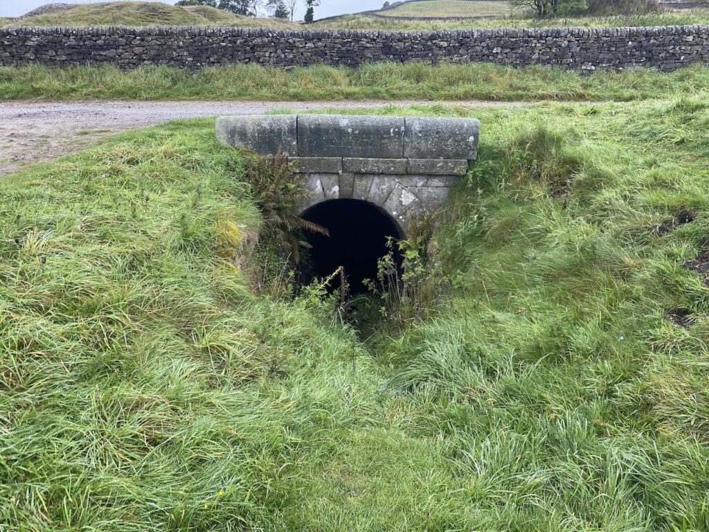
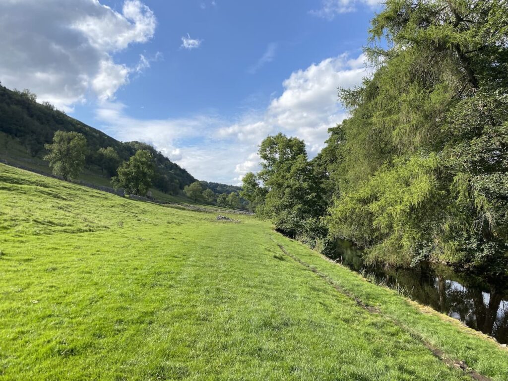
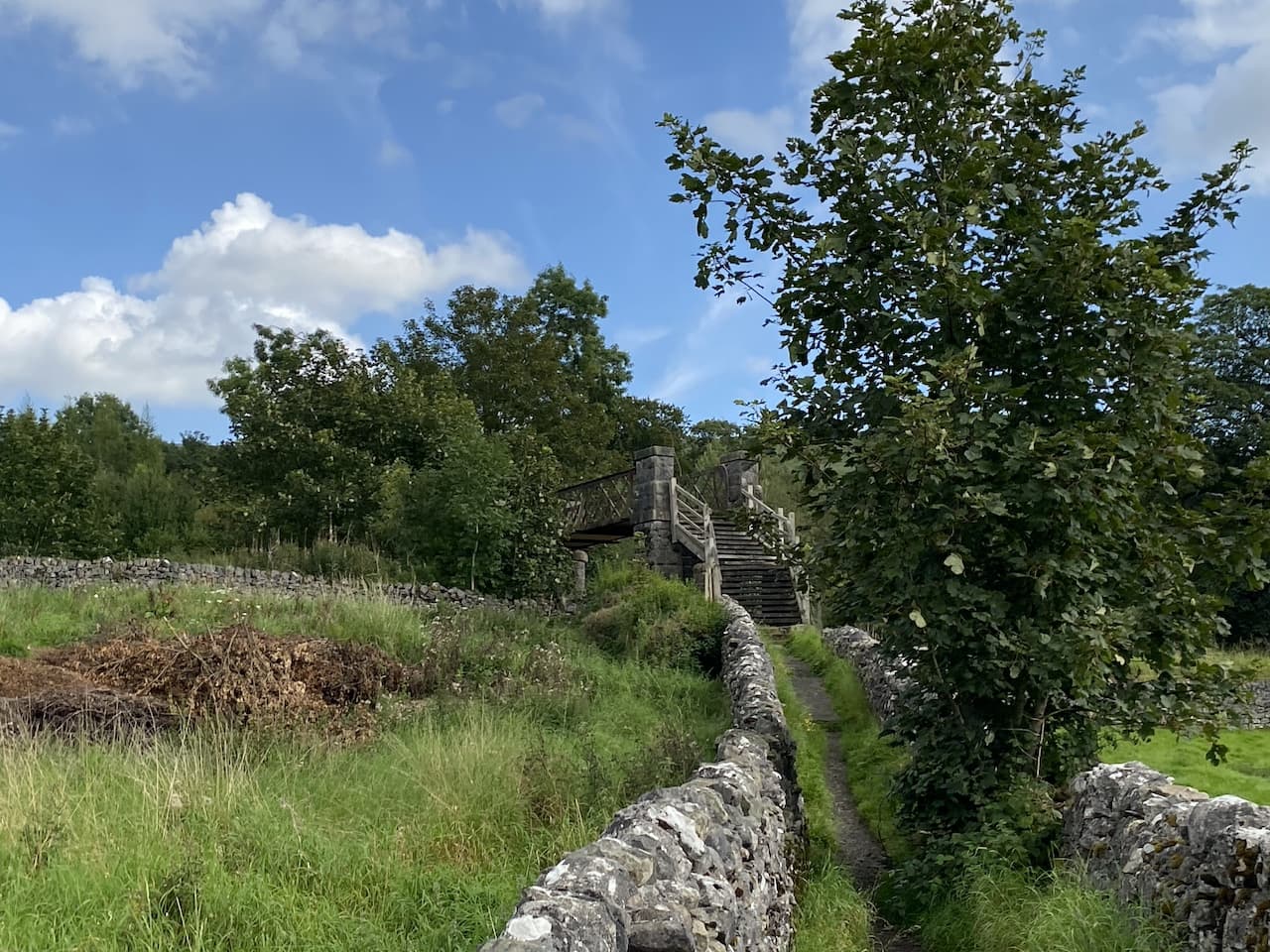
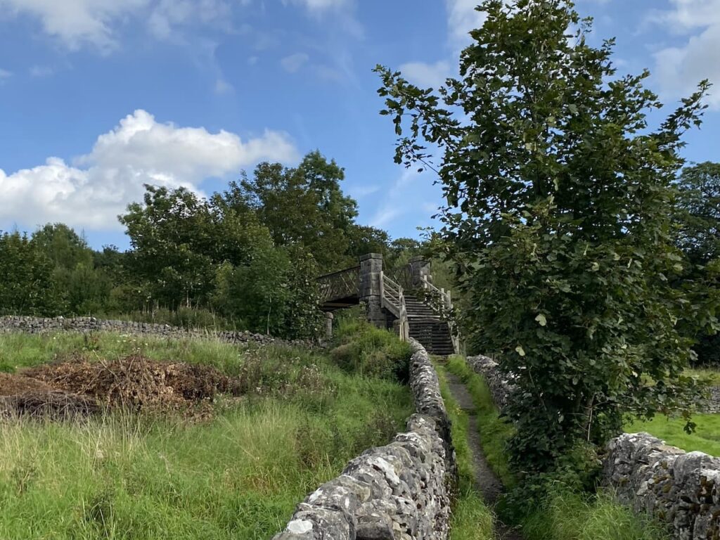
    We follow the path around the side of the mill to reach the entrance driveway to Langcliffe Park Caravan site.  Crossing the driveway we take a walled footpath leading to a footbridge over the Settle to Carlisle railway line.

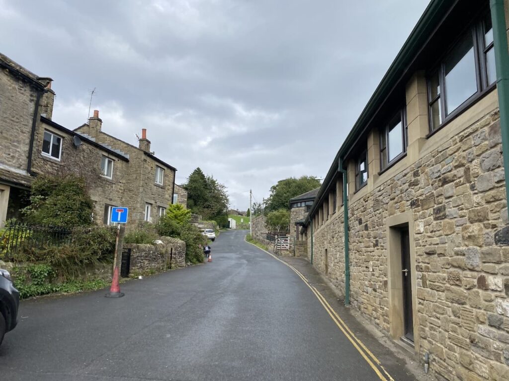
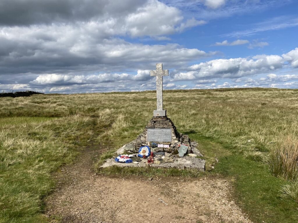
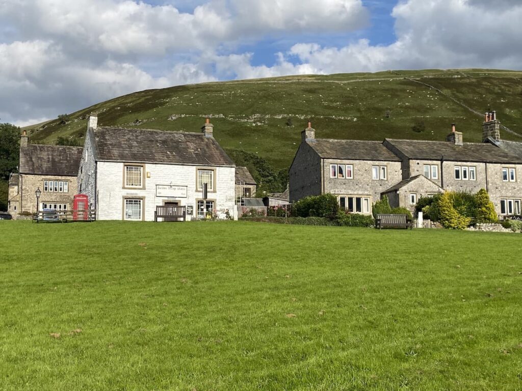
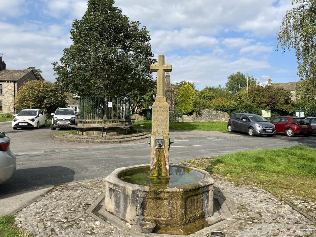
    The footpath leads us to the B6479 which we cross with care and walk into Langcliffe where we stop at the War Memorial to get a drink for Crosby.  We decide it is too hot to head towards Winskill so instead opt for the shorter route back towards Settle.

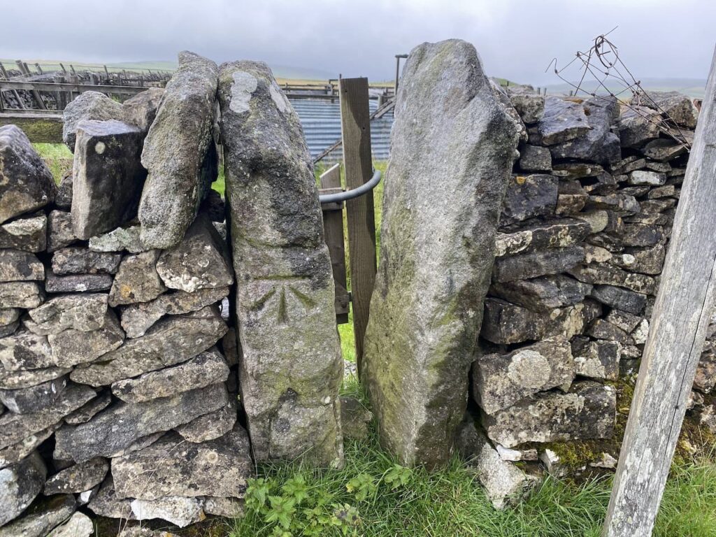
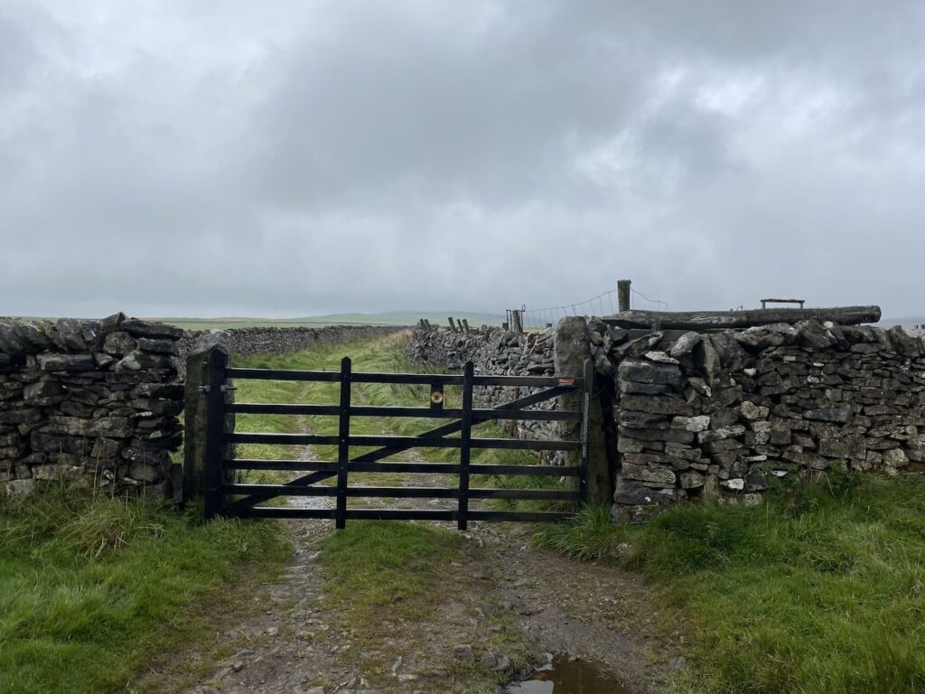
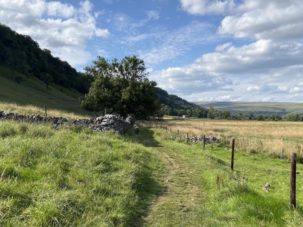
    Continuing through the village we pass the Church and former school and continue uphill on the road.  Just as the road bends to the left we take a footpath in front of us which goes through a gate and then heads steeply up through a pasture field.

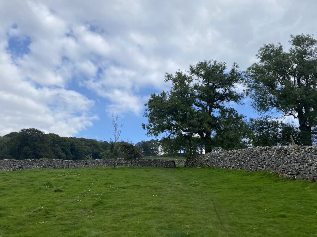
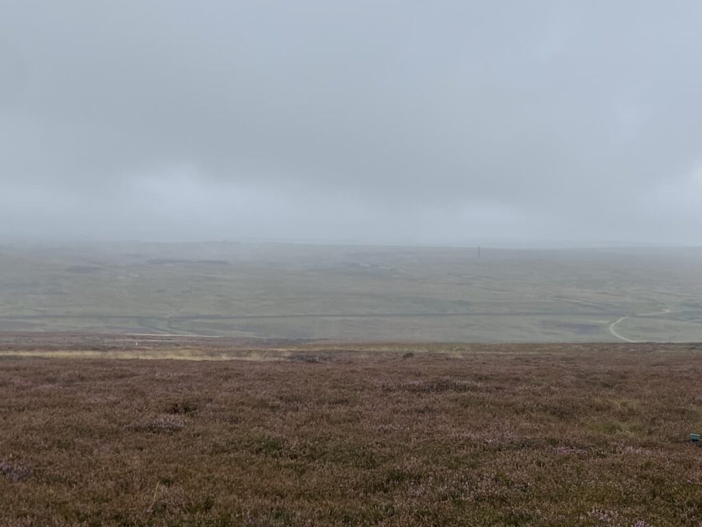
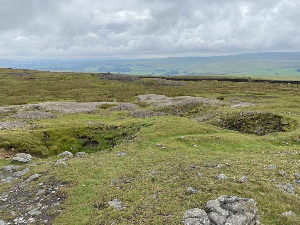
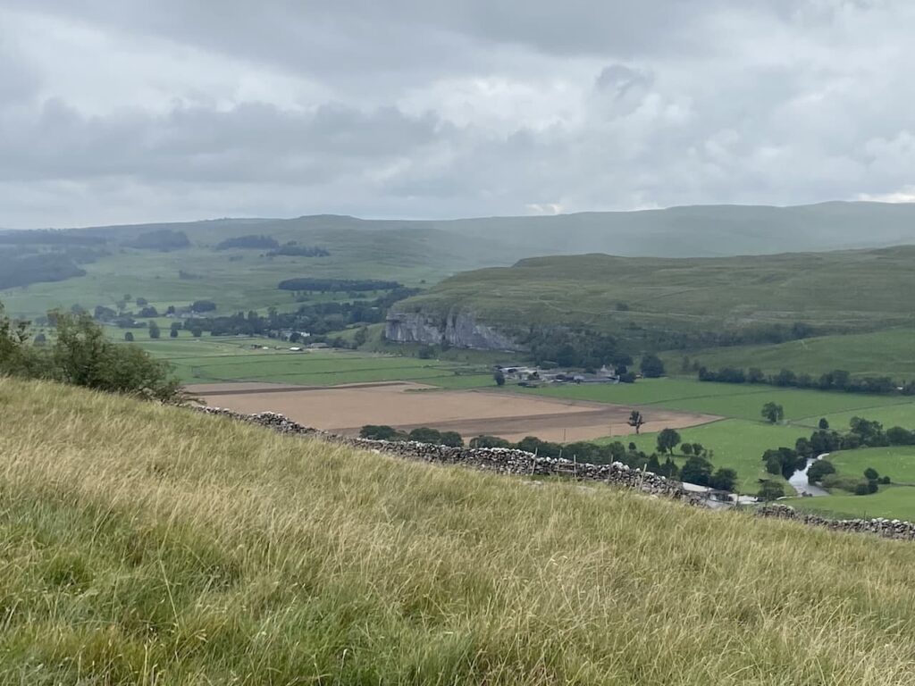
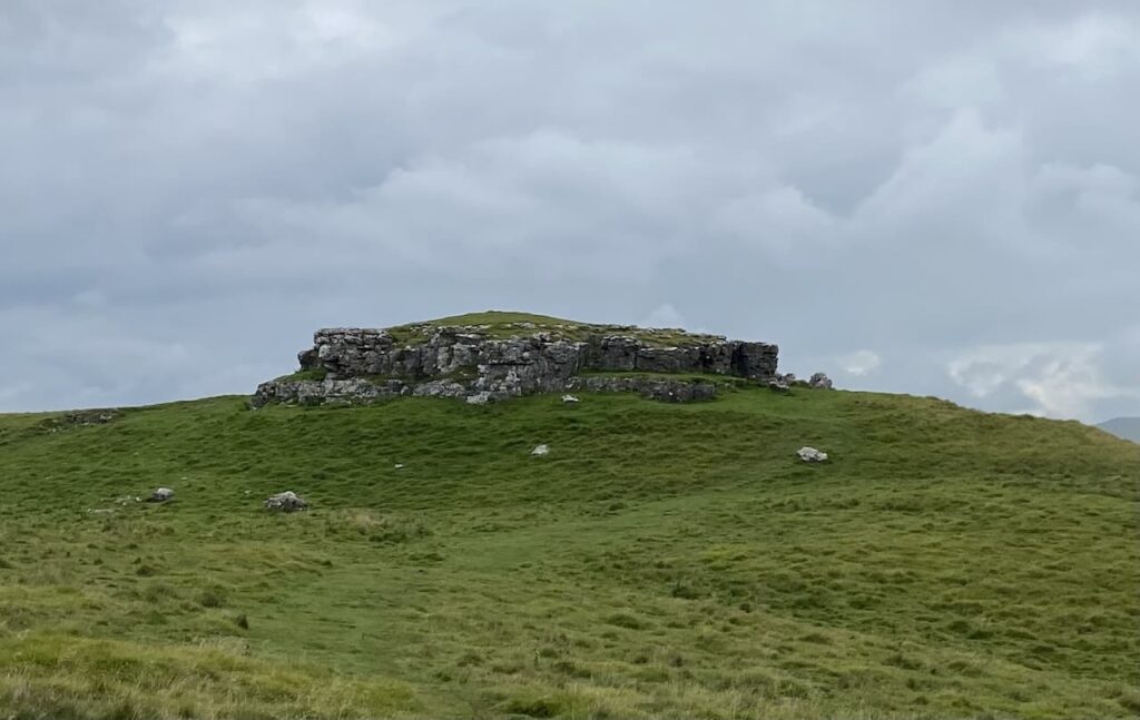
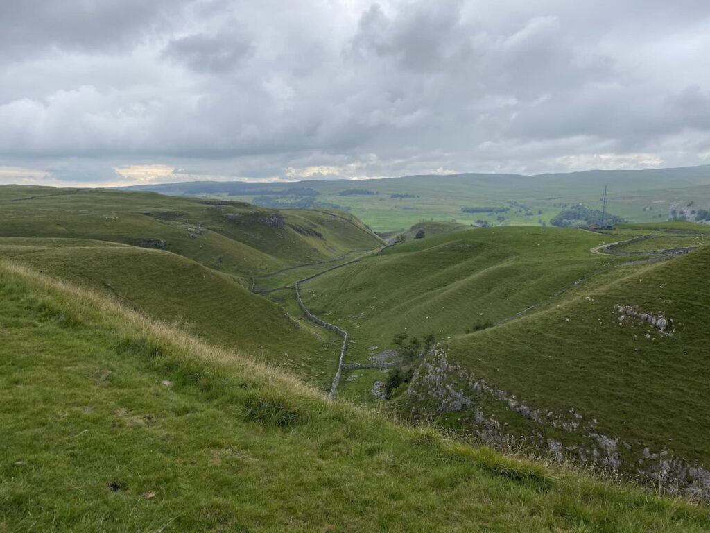
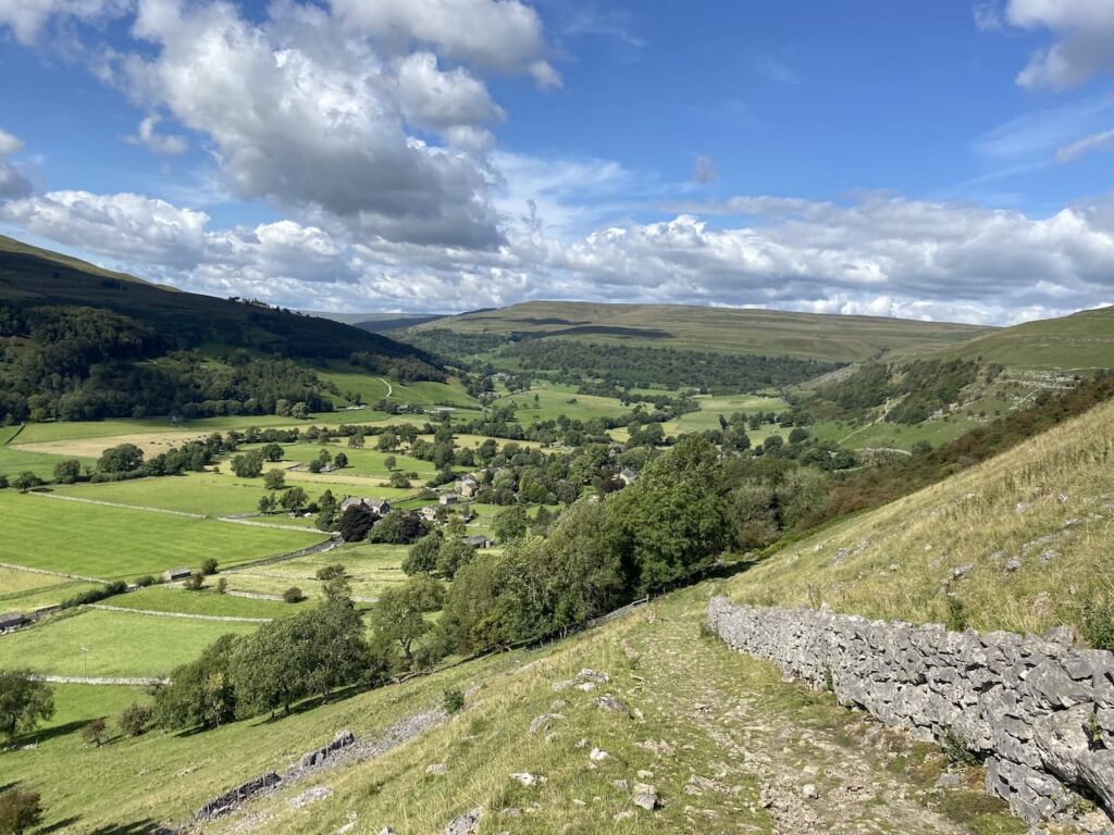
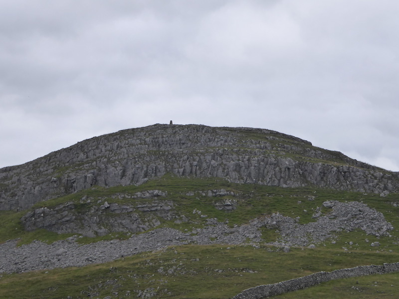
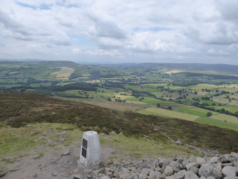
    The path turns to head south through fields passing under the limestone outcrop of Blua Crags with views towards Settle to our right.

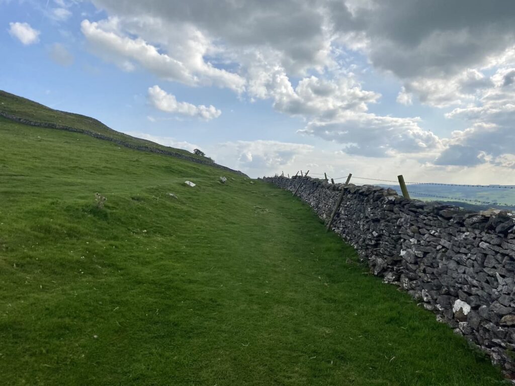
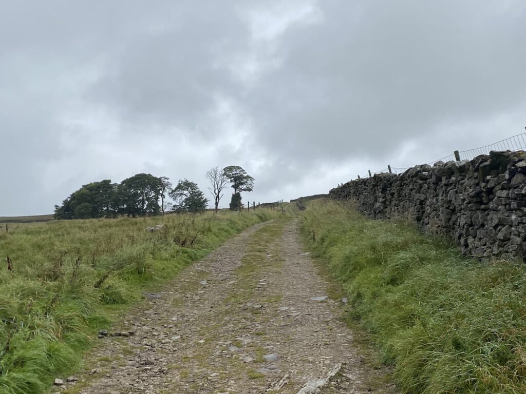
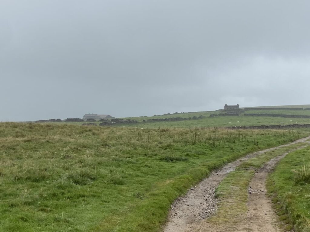
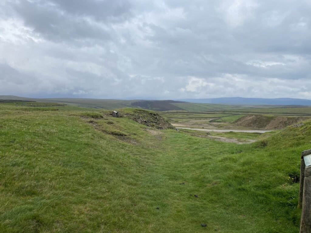
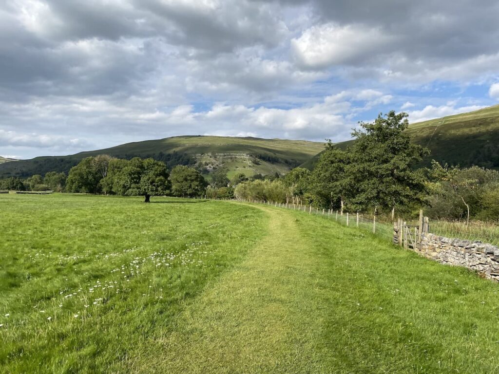
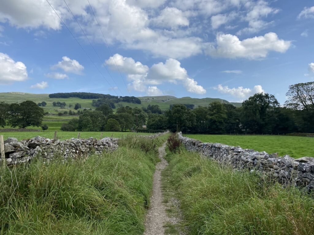
    We keep the drystone wall to our right going through a couple of gates to join a track heading steadily downhill into Settle.

    In Settle we head down to the Market Square.

    We then make our way back through Settle to the caravan at Brigholme Farm.  In has been a pleasant wander on a warm afternoon. 

    You can view this 5 mile walk on OS Maps and download the GPX File Here

    To follow our walk you will need Ordnance Survey Outdoor Explorer -OL2 Yorkshire Dales Southern and Western Areas

    2nd September 2023

    © Two Dogs and an Awning (2023)

    All information on this site is provided free of charge and in good faith and no liability is accepted in respect of damage, loss or injury which might result from it.  To the best of my knowledge the routes are entirely on public rights of way or within areas that are open for public access.
    Walking can be hazardous and is done entirely at your own risk.  It is your responsibility to check your route and navigate using a map and compass.

  • Grassington Lead Mines

    Grassington Lead Mines

    The weather forecast for today is not great and on our early morning walk Crosby was limping which is probably the after effects of jumping from ladder stiles yesterday.  Hopefully after a day’s rest he will be fine, but he an old dog and I don’t want to walk him too far. Today he is going to stay in the caravan with Lynnie whilst I head off in search of a couple of trig points.  

    The starting point for my walk is the old lead mines at Yarnbury, near Grassington.  There are a couple of small parking areas near Yarnbury House.  This house was built in 1826 by the Duke of Devonshire, the landowner in this area, for the Duke’s Mineral Agent.

    Leaving the car I head north east along a track, Old Moor Lane, and soon pass the entrance to an Incline Shaft.  This was built in 1828 and slopes to a depth of 37 metres where carts were loaded with lead and other minerals and hauled out by horses.  It might have been large enough for a horse but there is no way I would venture in there!

    Within a hundred yards I take a footpath on the left which leads  steadily uphill along a track with a drystone wall to my right.

    I stay on this track until I reach a gate on my right.  Here I am going to take a slight detour to head across the open access land to bag the Ordnance Survey Trig Pillar on New Pasture Edge. 

    Persistent showers of light drizzle keep rolling in, there are moments when I can see a reasonable distance and then the visibility reduces.  I am sure it is not going to close in, but I am glad that as usual I have a map and compass with me and have decided to use it to navigate today rather than relying on an App on my phone.

    I head back through the heather to the gate on a well-worn “trig bagger’s path” and on reaching the track turn right and continue between the drystone walls.  Before too long the track leaves the walls behind and is replaced by a fence on my right and open land to the left with Bare House and High Barn in the distance.

    Bare Hose, which apparently is known as “Barras” locally was occupied up until the 1960’s but now stands empty, however, it was re-roofed in 2001.  It would have been a bleak place to live as it is over a mile to another property and winters up here can be harsh.

    Ignoring a footpath off to the left at High Barn I continue along the track until I reach a gate.  Here there is a choice of footpaths either through the wooden gate across the track or through a small gap in the wall with a distinctive Ordnance Survey Benchmark carved into the stone.

    My route is through the wooden gate and along the track.

    The track leads to another gate onto an area of pasture.

    The path crosses open land and although there is a faint path in the grass it is definitely a place where you would be grateful for a map and compass in poor weather.

    After crossing a ladder stile I continue on to a junction of paths where I turn left and then go through a gate and go diagonally downhill through a field to Kelber Gate.  Here I join a lane, Bycliffe Road.

    Where the lane turns to the left I continue straight on, a fingerpost points towards Capplestone Gate.  

    This is a grassy path across fields and then turns to the right to go by the edge of a fir copse before continuing uphill towards a scar on a route marked on the map as Conistone Turf Road.

    This a long steady ascent and soon in the distance I spot the Conistone Moor Ordnance Survey Trig Pillar at Capplestone Gate.

    It is a warm afternoon and I am grateful for the breeze as I reach the trig pillar.  It is the 400th I’ve bagged and it is a stunning one with which to reach that milestone.

    There are wonderful views so I stop for a celebratory cup of tea and spot of lunch before continuing on my way.  The route takes me through a gate and I take a well-worn path that initially stays close to the wall and then goes near the edge of the scar.

    This route takes me through a disused mine at Benfoot Brow, the map shows this whole area littered with disused mine shafts and the evidence of mining is still very apparent.

    I stay on the edge of the scar and pass through an area of stone boulders and continue on to reach a gate.

    Going through the gate I very quickly reach a ladder stile on the left which I go over and then descend on a track through the scar with fine views over Upper Wharfedale.

    The grassy track heads in a westerly direction gradually descending through fields of rough pasture to reach a gate.

    After going through the gate I continue on the track which is now heading towards woodland.  

    At a junction of paths on the edge of the woods I turn left to join the Dales Way heading towards Grassington.

    This is a well-used grassy path and easy to follow as I head south.  Out to my right there are fine views across the River Wharfe.

    Despite the popularity of the Dales Way there are only a couple of people walking this section and I hardly see a soul as I pass through fields.

    Soon I pass the limestone outcrop known as Conistone Pie.  It is pretty obvious how it came by such a name.

    This is a cracking bit of countryside with interesting scars and I go straight on staying with the Dales Way at a crossing of paths at Conistone Dib.  This is a dry gorge, probably created from glacial meltwaters it is an impressive view from above the gorge.

    Since joining the Dales Way I have noticed the pasture land has been much improved and have been looking out for a Lime Kiln.  These were used to burn the limestone to create lime which was then spread on the fields to improve the pasture. I spot a kiln by the side of the path, a notice board indicates it was built around 1840.

    I head through Old Pasture and can see rain on the horizon in the distance.  Since the drizzle at the start of the walk it has been dry and I was hoping to get around without having to put my waterproofs back on.

    Nearing Grassington I go through an area of rough pasture at Lea Green with limestone outcrops and small sections of limestone pavement.

    Just outside the village I pass through a couple of fields of dairy cows and my route takes me around large dairy barns to join a lane into Grassington.

    In the village I turn left at the Town Hall and walk up the hill on Moor Lane.

    After a steady ascent up the hill the road levels and it is now a long straight walk back to the car park at Yarnbury.

    Before heading off I take a quick look around part of the Grassington Lead Mines.  An information board explains the history of the mine dating back to when mining started here in 1604.  The most prosperous period for the mines was between 1821 and 1861 when on average 965 tons of lead were produced each year.  During that period about 170 men worked in the mines.  Mining stopped in 1880 and the site has remained derelict ever since.  

    There is an interesting trail laid out around the old mines with seventeen further information boards highlighting the relevance of each location.  I take a short stroll to look at a couple but decide it is somewhere to revisit when I have more time to have a good look around.

    You can view this 11.5 mile walk on OS Maps and download the GPX File Here

    To follow our walk you will need Ordnance Survey Outdoor Explorer – OL2 Yorkshire Dales Southern and Western Areas

    1st September 2023

    © Two Dogs and an Awning (2023)

    All information on this site is provided free of charge and in good faith and no liability is accepted in respect of damage, loss or injury which might result from it.  To the best of my knowledge the routes are entirely on public rights of way or within areas that are open for public access.
    Walking can be hazardous and is done entirely at your own risk.  It is your responsibility to check your route and navigate using a map and compass.

  • Buckden Pike Memorial

    Buckden Pike Memorial

    Last year whilst staying at Brigholme Farm CL I went on a lengthy trig bagging route in Upper Wharfedale.  It was a challenging route and one I would definitely not take Lynnie and Crosby on.  However, the early part of the route visited the Buckden Lead Mine and that is definitely somewhere worth taking Lynnie.

    The starting point for our walk is in Buckden opposite the Buck Inn. It’s a bit of a drive from Giggleswick but there is cracking scenery to take in on the journey.  Lacing up our boots on a sunny day it is tempting just to walk across the car park and enjoy a pint before we set off.  But I am not one for drinking in the day time so we head off on the lane to the left of the pub.

    After passing cottages we follow the path to reach Buckden Beck where we turn right on a route marked by a fingerpost to Buckden Lead Mine and Starbotton.

    The route is easy to follow as it makes a long gradual ascent up East Side.  There are cracking views back over the village behind us.

    Nearing a wall the path turns northwards, still going up, to reach a junction of paths.  Here we continue heading north on the route towards the lead mine.  There is evidence of cattle about but we don’t encounter them until we reach a stile over a wall and they are not  at all bothered by us.

    We follow the clear path and are soon at Buckden Gavel Lead Mine.  Mining started here in the 1690’s but on a larger scale in 1804 when the tunnel shaft into Buckden Ghyll was created.  Work continued here until 1877 by which time the lead was becoming more difficult to extract and its value was decreasing because of a fall in world lead prices.

    In 1964 a group of students from Birmingham University were exploring the mine network under Buckden Pike when they discovered the remains of a body.  Investigations were unable to identify him, but he had a card from a funeral in Settle in his pocket from May 1890 and some coins dating from the 1880’s so had been there a longtime.  His identity remains a mystery, as does how he came to die in the mine, but he has become known as Buckden Bill.

    I am not tempted to enter the mine, I have read that it is very unsafe and it is easy to get into difficulty.  Instead we decide this is a good place to stop for our lunch and enjoy the view down Buckden Ghyll.

    Continuing our walk we go through a wall and follow a path on the north side of Buckden Ghyll this heads uphill in a north easterly direction to join a paved path.  Here we cross the wall stile so that we can visit the Buckden Pike Ordnance Survey Trig Pillar.  I’ve bagged this trig before but it is the first time Lynnie and Crosby have been up here.

    Irritatingly we have to go back over the ladder stile to continue our walk.  It’s not a problem for Lynnie or I, but Crosby is becoming an old boy and jumping down from the top of these stiles plays havoc with his joints and he won’t let me lift him off.

    We now follow the paved path with the wall to our left as we walk along the top of the hill.

    On reaching a wall stile on our left we cross, again this is difficult for Crosby.  We stop to look at the Buckden Memorial.  The story behind this memorial is amazing.  On 30th January 1940 a Wellington Bomber with six Polish Aircrew took off from RAF Bramcote in Warwickshire on a training mission.  They were hit by a sudden snow storm and the crew lost their bearings and travelled over Skipton and headed into the Yorkshire Dales.

    In the total white out they couldn’t see a thing and clipped a six foot dry stone wall on Buckden Pike and the plane crashed.  There were two survivors, the rear gunner, Joe Fusniak, and the wireless operator Sergeant Jan Sadowski, unfortunately Jan was seriously injured.  Joe decided to go in search of help.  He had no map or any idea of where he should go but soon came across the tracks of a fox and decided to follow that in the hope it would lead to human habitation.  His hunch was correct and it led him to the White Lion at Cray where the landlord’s daughter, Nannie Parker, spotted him.

    He was provided with warmth by the Parker family and eventually convinced the landlord he was not a German.  The weather was so bad that a search party for the survivor could not be launched until the following day and sadly when located he had passed away.

    After the war Joe continued to visit the site of the crash and in 1974 decided to erect a memorial to his flight companions who lost their lives in the crash.  He was granted permission to erect the cross and he personally installed it with the help of a few others.  It includes in the base a bronze fox head in recognition of the animal that saved Joe’s life.

    From the memorial we continue, in slightly reflective mood, on a path heading in a southerly direction with a drystone wall to our right.  It is a cracking day, but this spot is miles from anywhere if Joe had not followed the fox tracks he could easily have wandered off into the depths of the moor.

    At a junction of paths we turn right and soon start to descend with stunning views in front of us.

    We are now heading towards Starbotton and the scenery is absolutely cracking.

    After going through a wooden gate we join a track that continues downhill towards the village.

    In Starbotton we head through the village and then join a footpath heading towards the River Wharf, this has a fingerpost pointing to Arncliffe, Kettlewell and Buckden.

    On reaching the River we cross on a sturdy bridge and then turn right to follow a path with the river on our righthand side.  

    We are now on the route of the Dales Way, this is an eighty mile route from Ilkley in West Yorkshire to Bowness-on-Windermere in Cumbria.  I have walked a few sections of this long distance path and keep thinking it is possibly a walk that Lynnie and I could do at some point in the future.

    The route is now very easy to follow.  There are regular Dales Way way-markers as we walk through fields.

    The path leaves the river for a while to follow a walled path and then passes through open pasture before rejoining the river bank as we approach Buckden.

    Near Buckden we reach Buckden Bridge which is thought to have been built in 1709 with some rebuilding in the 19th century.

    At a minor road we turn right and cross the bridge and head back into Buckden and pass the village shop on the green on the way back to our starting point.

    Our walk has been absolutely stunning.  It has been a cracking day for walking and whilst we have only covered 8.5 miles we have taken our time.  There has been plenty to see and we have done over 2,300 feet of ascent.

    You can view this 8.5 mile walk on OS Maps and download the GPX File Here

    To follow our walk you will need Ordnance Survey Outdoor Explorer OL2 – Yorkshire Dales – Western Area

    31st August 2023

    © Two Dogs and an Awning (2023)

    All information on this site is provided free of charge and in good faith and no liability is accepted in respect of damage, loss or injury which might result from it.  To the best of my knowledge the routes are entirely on public rights of way or within areas that are open for public access.
    Walking can be hazardous and is done entirely at your own risk.  It is your responsibility to check your route and navigate using a map and compass.

  • Bagging a Trig on Smearsett Scar

    Bagging a Trig on Smearsett Scar

    It was soon after we got our first caravan in 2012 that we made our first visit to Brigholme Farm CL, since then we have stayed for over a fortnight at least once a year.  I have, therefore, walked many of the routes and paths around here but surprisingly there are still a couple of trig points within walking distance that I have yet to “bag”.  Today I plan to rectify that by knocking one off the list.
    (more…)

  • On Ilkley Moor

    On Ilkley Moor

    A trip to Ilkley would not be complete without a walk on Ilkley Moor, as we all know the moor became famous as the inspiration for the folk song “On Ilkla Moor Baht ‘at” and it is almost impossible to think of the moor without the lyrics of the song coming into your head.
    (more…)

  • A Walk to Addingham from Hall Croft CL

    A Walk to Addingham from Hall Croft CL

    When walking to Beamsley Beacon a couple of days ago I went via Addingham, having seen the photos Lynnie is keen to revisit, I last took her there soon after we met.

    (more…)

  • Revisiting Beamsley Beacon after Forty Years

    Revisiting Beamsley Beacon after Forty Years

    Yesterday after ten nights at Domo CL we headed across the Pennines to Hall Croft CL situated between Ilkley and Addingham.  We haven’t visited this site before and it is serving as a stop off on our way further into the Yorkshire Dales.
    (more…)