Tag: Cotswold Walks

  • Arriving at Burnt Ash Farm CL

    Arriving at Burnt Ash Farm CL

    After a couple of weeks at home we are away again, this time for a short stay in the Cotswolds.  The spell at home has given us the opportunity to make progress on the work we are having done to our house, but it is always good to hitch up the van and head off again.  

    We chose the Cotswolds for this trip because we like to find new areas to explore on our travels and the south west corner of the Cotswolds is not a place we have walked before, we did visit Tetbury on our honeymoon thirty-nine years ago, but in those days walking did not feature in our plans.

    Our pitch for this stay is on Burnt Ash Farm CL, located on the outskirts of Minchinhampton.  It is very easy to access with no narrow lanes and soon after our arrival we are warmly greeted by Adrian the owner.  As soon as we are pitched and the awning is up I am lacing up my walking shoes and heading out for a short stroll from the site.

    Our previous caravan trip to Scotland and the Peak District was cut short by my picking up an ankle injury.  I have had some treatment on it and can now walk shortish distances with slight pain, this is an improvement on the severe pain that was stopping me walking anything further than a mile.  I have been advised to wear trainers for a month to assist in the recovery.  I own numerous pairs of walking boots, but did not have a pair of trainers so had to endure an hour trying to identify some that would be comfortable enough to walk in.

    Needless to say two weeks after purchasing them the trainers look about six months old.  I think they were designed for leisure wear, not trudging around the countryside.  However if it means my leg gets better quicker I am willing to sacrifice a bit of credibility in the walking fraternity.

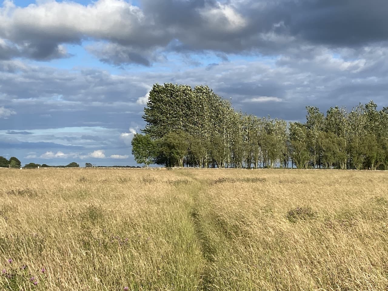
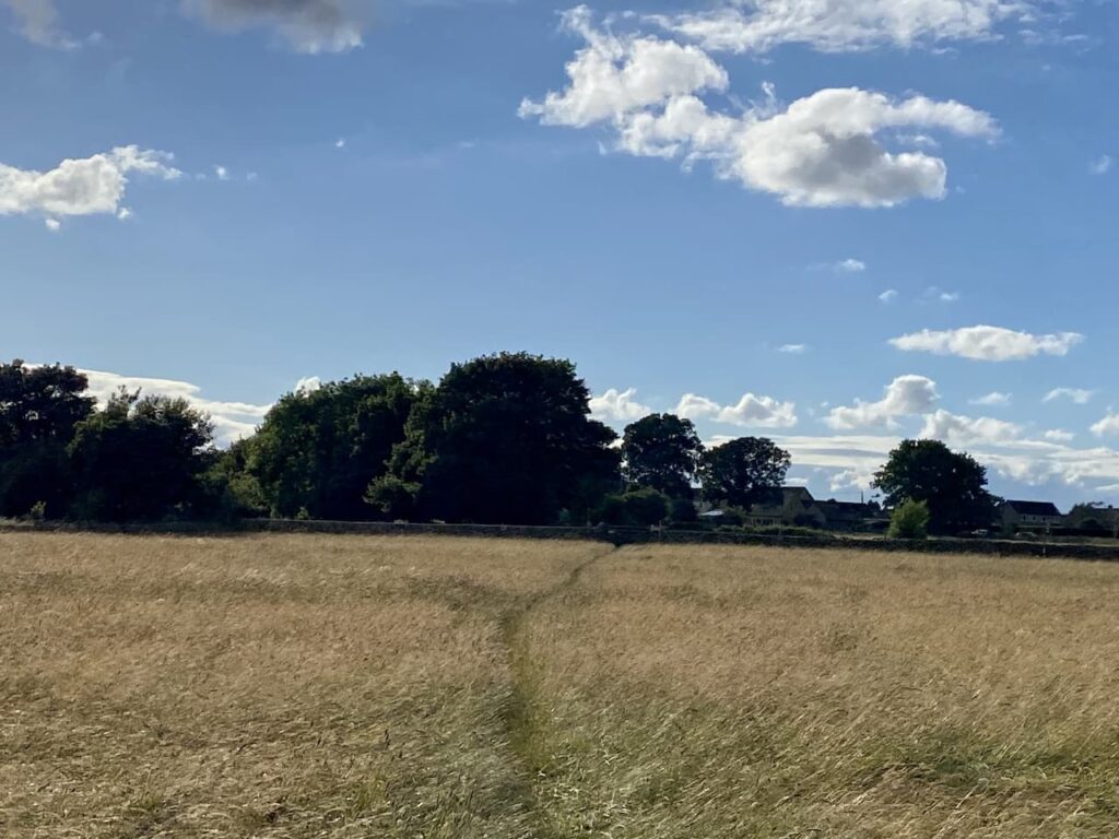
    I leave the caravan site by the footpath which runs beside the ménage and then heads across paddocks to join another footpath close to the road.  Here I stay in the field and turn right to walk along the edge of the field with the wall on the left.  

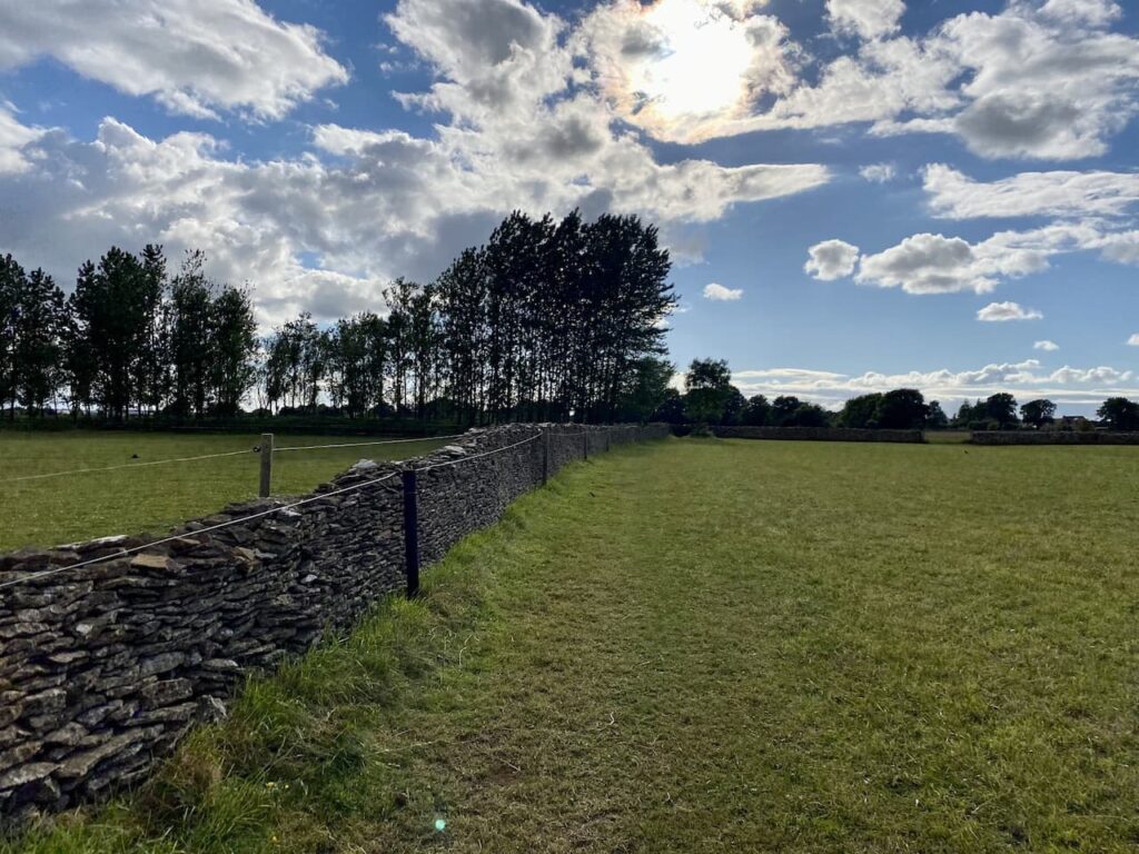
    After crossing a stone stile I continue into another field and keep walking with the wall on my left hand side.  

    After crossing another stone stile the footpath forks.  I take the right fork to head through a meadow towards a gate.

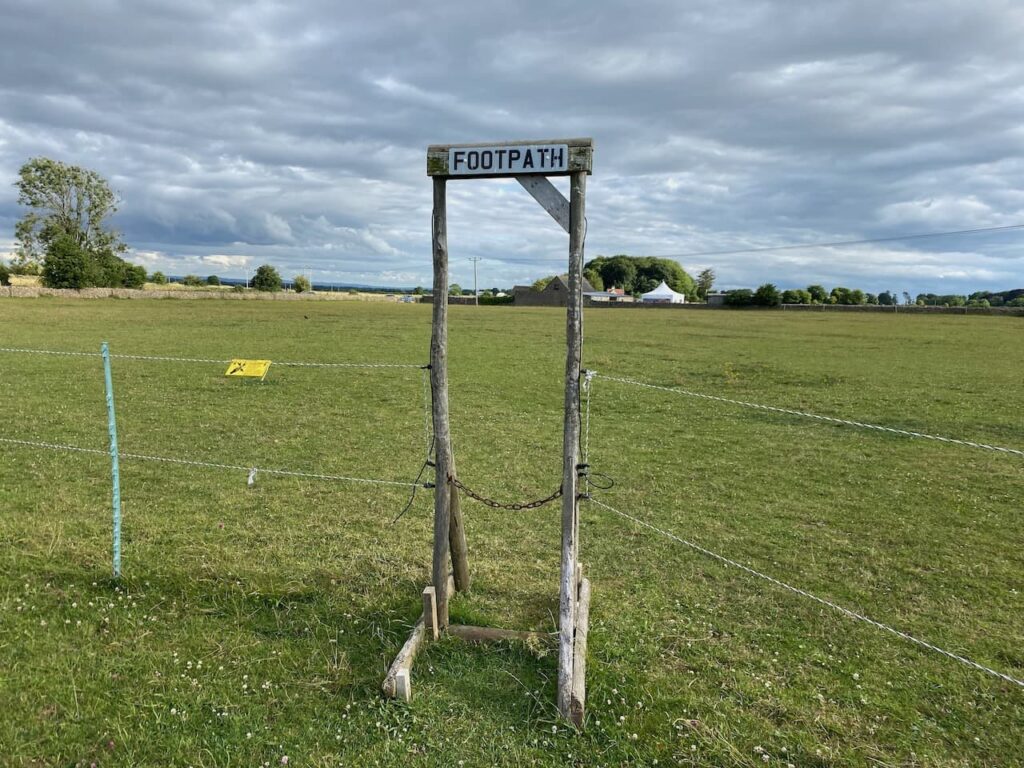
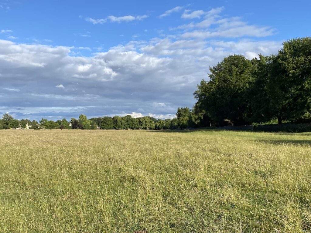
    After crossing a stile over the gate I join a track and turn left.  The track soon opens out onto a small common.

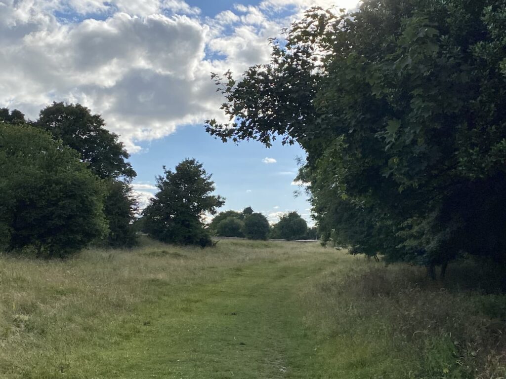
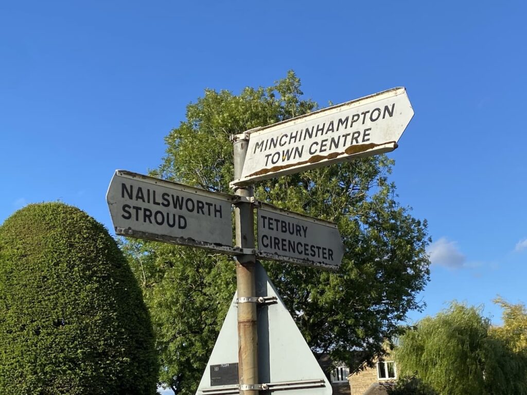
    I am soon across the common and carry on into Minchinhampton along a quiet residential street. This road leads to the Cirencester Road where I turn left and then quickly reach a crossroads where I turn left and head into Minchinhampton town centre.

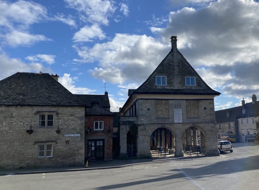
    Like many Cotswold towns Minchinhampton was built up around the wool market and it has a fine Market House with cattle barriers in the lower part.

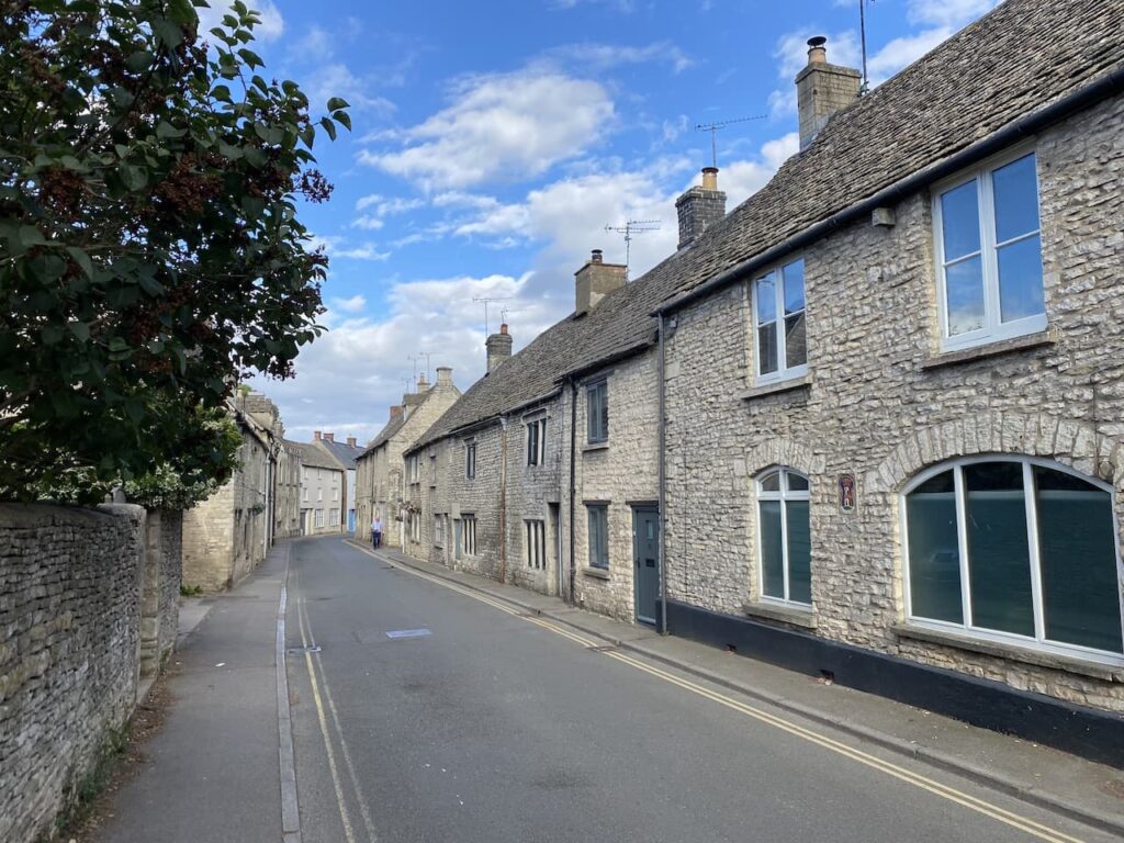
    I continue down the High Street and then turn right and pass the butchers and fish and chip shop and continue along the road heading west out of the town.

    At a fork in the road I keep right and then take the next right into Dr Brown’s Road and follow this heading steadily uphill to reach Minchinhampton Common where I turn right to walk across the common.

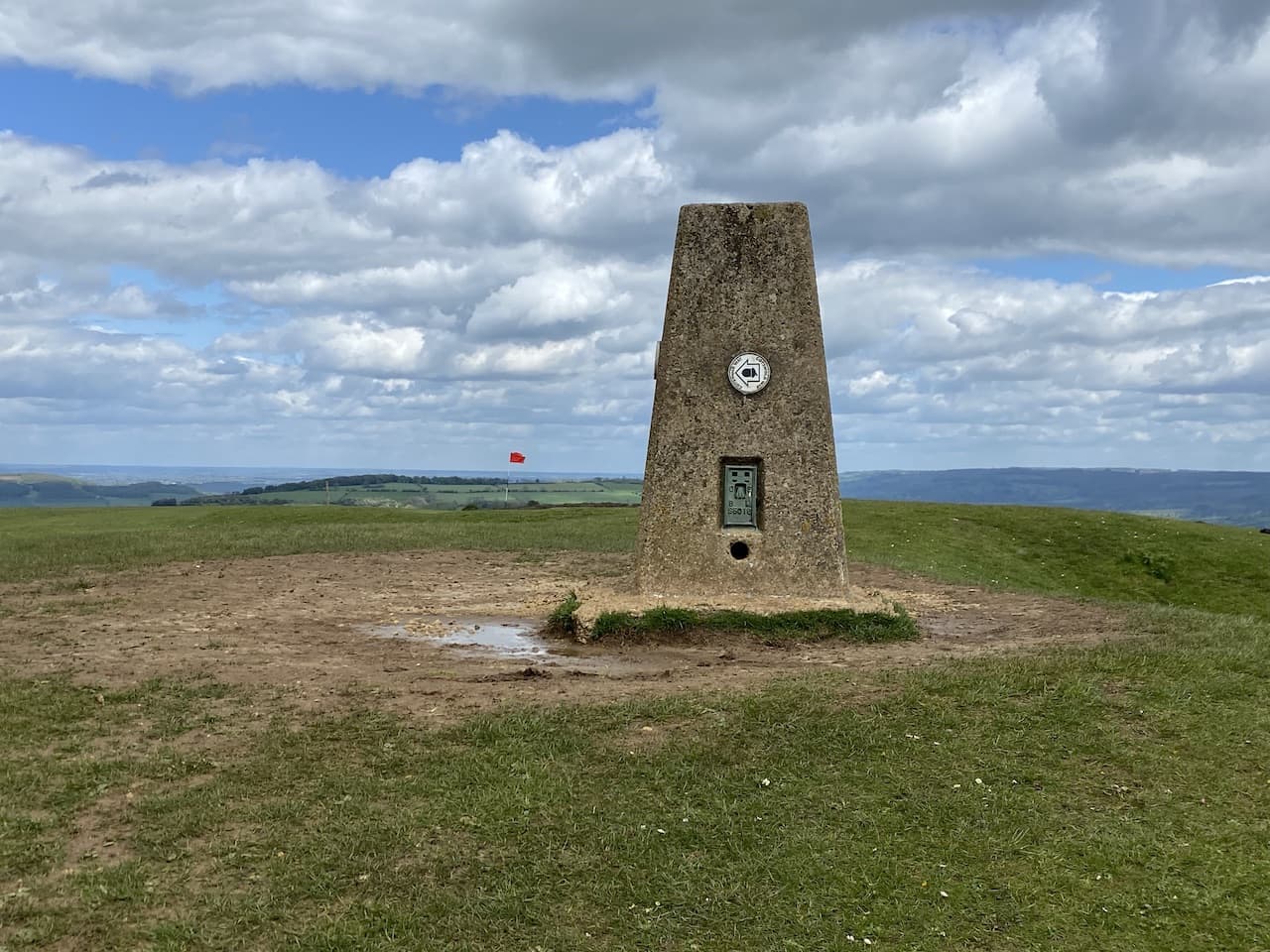
    This is only a small part of the common which covers 580 acres of open access land which is grazed by cattle and has a couple of golf courses crossing it.  It is a pleasant evening so on spotting the church spire in the distance I decide to head across the common to have a closer look at the unusual structure.

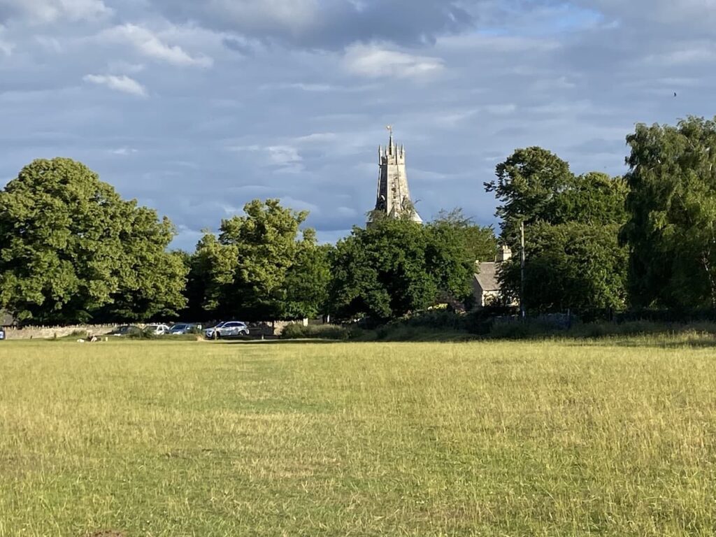
    Apparently the original spire of Holy Trinity church was pulled down in 1563 because the arches in the nave were failing under its weight.  The stub of the pair was retained and surmounted with a coronet structure.

    I stay on the common and turn to the left to walk back in a north easterly direction to reach the crossroads on the Cirencester Road.

    From here I retrace my route back to the caravan through the town and along the road to reach the small common and then cross the stiles.

    The stone stiles across the walls between fields are an interesting feature for Crosby.  He hopped over them at the start of our walk, but has now decided he would prefer to be lifted over.

    Back at the caravan my walk has covered just over three miles.  So far so good, my ankle feels okay.  It has been a pleasant walk to acquaint myself with part of the local area.  

    I think tomorrow will see us venturing a bit further.

    You can view this 3.5 mile walk on OS Maps and download the GPX File Here

    To follow our walk you will need Ordnance Survey Outdoor Explorer – 168 Stroud, Tetbury & Malmesbury

    1st July 2022

    © Two Dogs and an Awning (2022)

    All information on this site is provided free of charge and in good faith and no liability is accepted in respect of damage, loss or injury which might result from it.  To the best of my knowledge the routes are entirely on public rights of way or within areas that are open for public access.
    Walking can be hazardous and is done entirely at your own risk.  It is your responsibility to check your route and navigate using a map and compass.

  • Exploring the Cotswolds from Cleeve Common

    Exploring the Cotswolds from Cleeve Common

    Our trip today is to Cleeve Common on which sits Cleeve Hill which is the highest point in  Gloucestershire and the Cotswolds. It is a spot we have not previously visited but I have seen details of it in walking magazines and in posts by folk I follow on social media.  It is about twenty miles to the west of where we are staying at Pebbly Hill Nurseries.

    The starting point for our walk is a car park (Grid Ref: SO989271) located on the edge of the common very near to the clubhouse of Cleeve Hill Golf Club.   Boots on we head the short distance back towards the clubhouse.

    There is a network of paths across the access land of Cleeve Common, but we decide to stay with the way-marked Cotswold Way as it heads south.  

    The route takes us past disused quarries, these provided the famous Cotswold Stone used in local house building.

    It is a cracking day and there are extensive views as we continue along the way-marked path.

    The Cotswold Way leads us to an Ordnance Survey trig pillar at The Ring on Cleeve Common.  I had initially thought that this must be the highest point but soon realise that nearby Cleeve Hill is a few metres higher.  This is my 249th trig and the first I can recall having a way-marker attached to it.

    We continue on the route of the Cotswold Way as it crosses part of the golf course.  Playing golf on the common dates back to 1891 when the Cheltenham Golf Club was formed, over the years it has changed its name a few times and is now known as Cleeve Hill Golf Club.  

    Its future was in doubt recently when Tewkesbury Borough Council, the owners of the common, announced they would not renew the license for Cleeve Common Trust to operate a golf course. However, in January it was announced that agreement had been reached for a new company to operate the golf course.  This has to be good news, it would be a pity to lose such an old course.

    Our route across the common continues to follow the Cotswold Way with distant transmitter masts as our point of reference.

    Soon we get a good view across Cheltenham Racecourse on the edge of the town below us.  It is many years since we have been to the races.  When Lynnie and I lived close to Kempton Park and Sandown Park racecourses we occasionally spent an afternoon at the races, but that was forty years ago.

    At the point where the Cotswold Way veers to the right to descend the hill we continue straight on along the top of the common with the path heading towards the transmitter masts on Cleeve Hill.

    After passing the masts we soon reach the Ordnance Survey Cleeve Hill Trig Pillar, this is my 250th trig bagged and it is fitting that at 1,080 feet above sea level it is the highest point in Gloucestershire and the Cotswolds .  

    We stay close to the boundary fence and continue in a south easterly direction over the access land towards a car parking area on West Down.  After going through the car park we join a minor road heading south.  This passes entrances to farms and we ignore a minor road on the left.  After a mile and a half and beyond Nash Barn we take a footpath on the left that heads east towards Sevenhampton.

    The path descends to reach a minor road which we cross and continue downhill on a lane leading to the church of St Andrew.  This church was built in the 12th and 13th centuries with the tower  added in the 15th century.

    We venture inside the church where strangely an old trowel on a plaque is on the wall. Apparently it was found in the stonework of the west wall during restoration work in 1893 and is thought to be medieval.

    Leaving the church we turn left and head downhill on Church Lane.  When the tarmac ends we continue on a footpath that crosses a stream and then on reaching a minor road we turn left along a country lane heading towards Brockhampton.  We reach the village at a grass triangle with a post box and continue straight on towards the Memorial Hall.  

    This hall was donated to the village by Col. Fairfax Rhodes in 1902 in memory of his son John who was killed in the Boar War.  Rhodes lived at Brockhampton Hall and in 1909 he had the foresight to build a cottage alongside the Memorial Hall for the hall caretaker.  The cottage is now let to provide an income which supports the upkeep of the hall.

    We carry on along the lane and just after the last house there is a water fountain in the wall with the inscription “Those occupying houses built prior to 1935 are welcome to use this water supply for domestic cooking and drinking purposes only during the pleasure of the owner of Brockhampton Park or his representatives”

    Almost immediatly after the water fountain the road bends sharply to the right, here we carry straight on along a footpath which goes through a metal kissing gate and continues north through fields.

    On reaching a minor road we turn left and continue along this lane ignoring a junction to the right.  At a crossroads we go straight over to join a dead end lane.  This takes us to a cottage besides a gate where the path continues along an estate road.

    The path is clearly way-marked as it continues along the track passing through trees heading towards Westwood House.

    After passing the house the route starts to head west and ascends towards the derelict farmhouse and farm building at Wontley Farm.  This farm was built in 1824 but has been derelict since 1964.  It is a pity to see old buildings falling into total disrepair and the structure now looks a bit fragile with significant cracks in the walls so we decide not to venture too close.

    At the farm we have reached a crossing of footpaths, we turn right and follow a track for about a quarter of a mile to reach a footpath on the left, we follow this path as it heads across a field towards woodland.  We are now on the route of the Cotswold Way and we follow this as it descends through Breakheart Plantation.

    We follow the way-marked route through the trees and besides a cottage and then turn left still on the Cotswold Way to descend through another plantation to cross a stream at a footbridge.

    We then go through a metal gate and continue uphill on the path besides the edge of a field and then goes through a gate to join a track, as we near farm buildings we take a permitted path to the left, this avoids taking the footpath through the farmyard and rejoins the track on the far side of the buildings.  Now we are on a tarmac lane with Postlip Hall soon in view in front of us.

    The main parts of Postlip Hall were built in the 17th century with some bits going back further.  The building underwent major renovations in 1878/79.  In 1969 the house was purchased by a group of people wishing to set up a community living project and has operated under these principles ever since.   

    As we near the Hall we take a footpath on the left to stay with the Cotswold Way, which now follows a boundary wall.

    After passing some farm buildings we reach a junction of paths, we go right still on the Cotswold Way to go through gates and continue by the wall as it passes paddocks.  After going through another gate we enter the edge of Cleeve Common and follow the path uphill.

    We pass some small disused quarries and then go through a gate to join a track which leads to another gate onto another section of the Common.  

    This track leads us back to our start point at the quarry car park.  Our walk has been just over 12 miles and we have been fortunate with the weather.  It stayed dry all the way round until we reached the car park at which point it started to rain just as we were taking our boots off.

    You can view this 12 mile walk on OS Maps and download the GPX File Here

    To follow my walk you will need Ordnance Survey Outdoor Explorer OL 45 – The Cotswolds

    25th May 2021

    © Two Dogs and an Awning (2021)

    All information on this site is provided free of charge and in good faith and no liability is accepted in respect of damage, loss or injury which might result from it.  To the best of my knowledge the routes are entirely on public rights of way or within areas that are open for public access.
    Walking can be hazardous and is done entirely at your own risk.  It is your responsibility to check your route and navigate using a map and compass.

  • A Walk to Icomb from Pebbly Hill Nurseries

    A Walk to Icomb from Pebbly Hill Nurseries

    After a couple of weeks at home we are away in the caravan again, this time heading to the Cotswolds.  Our caravanning travels have taken us all over the Country but we have only ever spent a few nights in the Cotswolds, it is usually somewhere we drive through heading further afield.  So we are looking forward to the opportunity to do some walking and exploring in a new area.

    It only takes a couple of hours to travel to Pebbly Hill Nurseries CL which is a few miles east of Stow-on-the-Wold.  Access to the site is very straightforward, the only downside is that recent persistent rain has made the site very boggy.  Following a previous bad experience I am aware of the site damage that can be caused by a car and caravan ploughing up a field.  So we seek the assistance of the site owner to find a spot that is a bit firmer.

    We get the caravan set up just prior to another storm bucketing down another load of rain on the sodden site.  We take refuge until it passes and then set up the awning.  This week’s forecast is not great so I doubt we will be doing much sitting in the awning, but it does provide somewhere to hang wet walking clothes and give Crosby a good toweling when he is soaking.

    As soon as the awning is up it is time to put the boots on and head out for a walk.  The site is situated next to a few footpaths so enjoys very easy walking access.  We leave the site and turn right along the track to pass the nursery’s polytunnels and stay with the track as it passes riding stables and then heads downhill to a junction of paths.

    Here we turn right to join the route of the Oxfordshire Way.  We have walked short sections of the Oxfordshire Way previously in the Chiltern Hills.  It is a 68-mile path crossing Oxfordshire but strangely it starts in Bourton-on-the-Water in Gloucestershire.

    The path continues as a track and we stay with it ignoring a path on the left which leads over a bridge, we are walking with the Westcote Brook to our left and the path soon becomes muddy.  It is not clear if this is due to the recent rain or if it is always a muddy spot, but we are able to find a way through the puddles and are grateful when the route reaches the edge of fields.

    We stay with the Oxfordshire Way along the edge of a field passing ponds.

    There is a notification from the Council that the route has been officially diverted, meaning we go around the headland of the field rather than straight across.  I am always happy to see such diversions as long as the path is clearly signed.  There is nothing more frustrating than trying to follow a route which is not on the map.  Fortunately this route is well marked.

    It is pleasant walking in the evening sunshine, we are in no rush so happy to take in the scenery and stop occasionally to listen or watch the wildlife.

    That path ascends steadily to a junction of footpaths where we turn right to join the route of the Diamond Way. 

    This 66-mile circular route visits villages in the North Cotswolds.  It was created by the North Cotswolds’ Ramblers Association in 1996 to celebrate the Diamond Jubilee of the Ramblers, hence the name.  The path leads to a large kissing gate leading into a copse.

    We follow the clear path through the trees.  Some sections are very muddy, but again we can find a route through without too much of a problem.  After passing through another large kissing gate we cross a footbridge into a field.

    Staying on the edge of the field we pass a reservoir and join a farm track by a lake.

    Soon we reach a fork in the track and go left and then within fifty yards take a footpath on the right through a gate. This heads uphill on a broad grassy track to reach another track.  Here we turn left and walk besides the wall of Icomb Grange to reach the church of St Mary the Virgin.  

    Apparently there are some striking medieval carvings inside the church but we have very muddy boots so do not attempt to venture inside.  Instead we content ourselves with looking at some of the ancient exterior.

    Modern Icomb is a well-manicured village, rather too pristine for our taste but it has an interesting history, apparently it was where Tom, Dick and Harry Dunsden lived, these brothers were notorious 18th century robbers and frequently held up stage coaches.  Eventually caught following an attempted robbery they were executed and their bodies hanged at Habber Gallows Hill.  It appears it is from these brothers that the phrase, “Tom, Dick and Harry” has arisen.

    We reach the War Memorial and turn right on the road heading north through the village.  We stay with this road to pass Rectory Farm and then turn right at the next junction and follow this quiet county road back towards the caravan site.  

    Our little wander has covered four and a half miles and it has been interesting to get a feel for the area.  The weather forecast for the next few days is not looking great so I doubt any of the muddy paths we have walked will be drying up soon.

    You can view this 4.5 mile walk on OS Maps and download the GPX File Here

    To follow my walk you will need Ordnance Survey Outdoor Explorer OL 45 – The Cotswolds

    19th May 2021

    © Two Dogs and an Awning (2021)

    All information on this site is provided free of charge and in good faith and no liability is accepted in respect of damage, loss or injury which might result from it.  To the best of my knowledge the routes are entirely on public rights of way or within areas that are open for public access.
    Walking can be hazardous and is done entirely at your own risk.  It is your responsibility to check your route and navigate using a map and compass.