On a chilly day last November I headed out with my walking buddy and we visited Melbury Beacon at the western end of Cranborne Chase. On that day visibility was limited and I have been intending to revisit the area ever since.
We are in the midst of a mini heatwave and today I had penciled in to walk the Clarendon Way between Winchester and Salisbury cathedrals. I intended walking with friends Mandy and Gary, however, we have concluded with temperatures predicted to be 30 degrees it is not sensible to walk twenty-four miles. Instead we are doing a route which will include Melbury Beacon so I should get a chance to admire the views.
The starting point for our walk is the National Trust Spread Eagle Hill car park (Grid Ref ST886187). From the car park we go through a gate and head north across a field. There are stunning views and it looks like we are in for a cracking day.

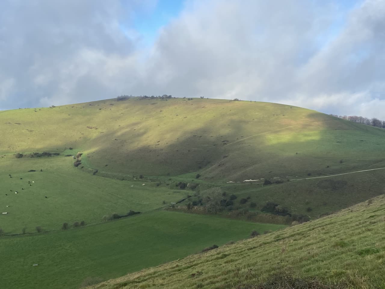
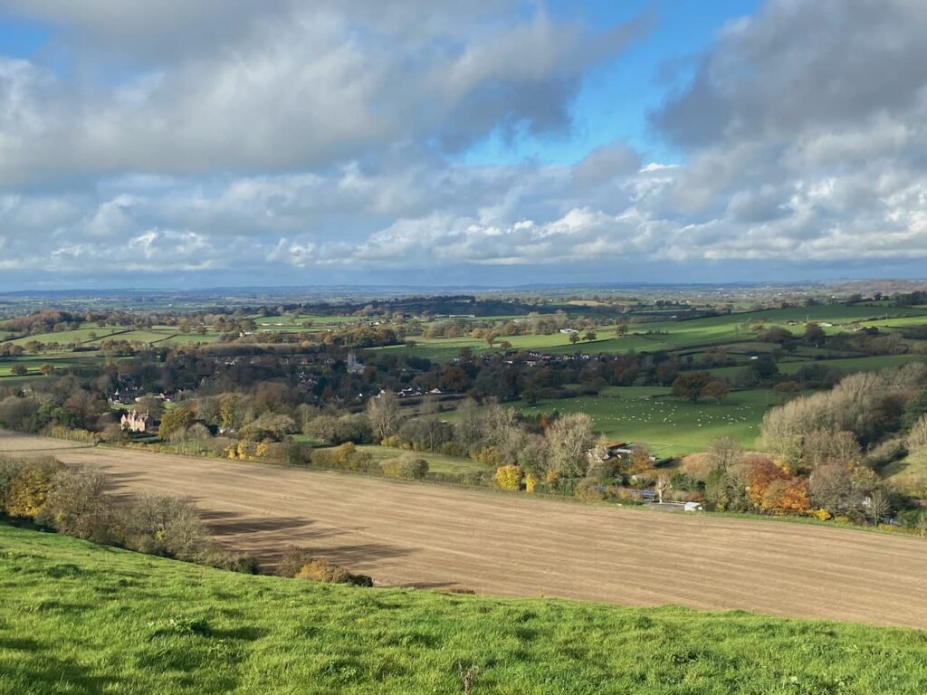
After going through a gate we veer to the left to follow a footpath heading north west across Compton Down, towards Melbury Hill there are cracking views as we follow a path that soon heads uphill.

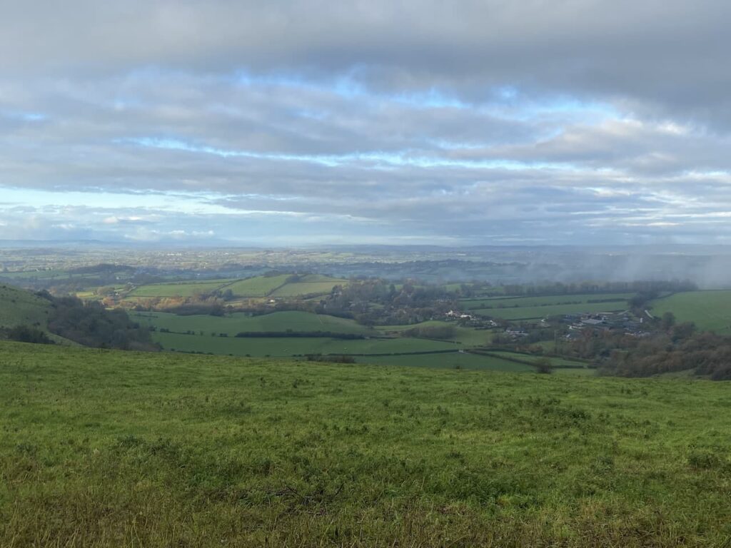
The path descends and then has a stiff ascent to the summit of Melbury Hill where we go through a gate and wander across to the Ordnance Survey Trig Pillar which sits 839 feet above sea level. I bagged this trig last November but the views on that day were not as splendid as today.

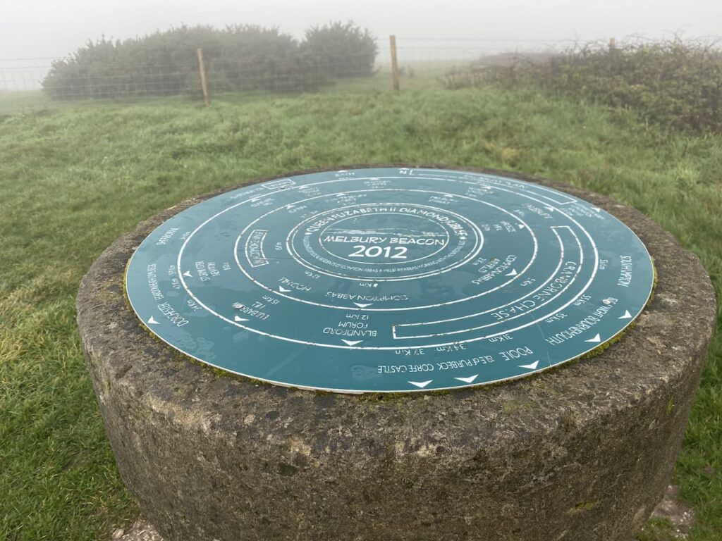
We stop for a while and pick out points on the horizon with the aid of the toposcope which has been attached to the trig.

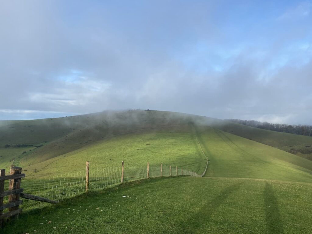
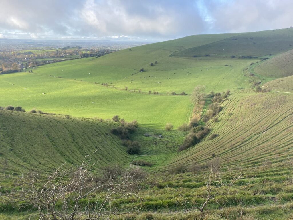
From the trig point we turn and retrace our route heading downhill to a point where a footpath crosses the access land. Here we go through a gate taking a path along the top of an area of access land which skirts above a cracking contoured inlet.

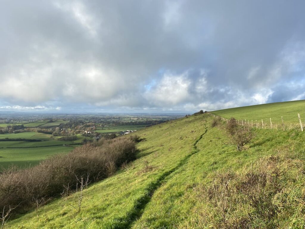
The path leads to a track where we turn left and walk uphill to the car park from where we started our walk. So far we have completed two and a half miles, but there are still a few more to do. From the car park we go through a gate and follow a fence lined path heading south to reach the Fontmell Down Nature Reserve.

We ignore a footpath on the left and continue on to reach a junction of paths. Here we do not go through the gate but cross a stile on the left to walk through a copse, on reaching a road we cross and enter Fontmell Woods.

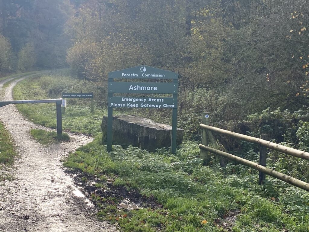
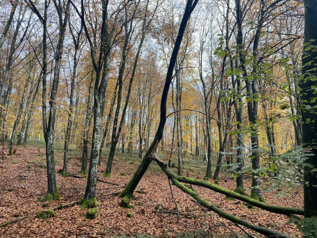
At a junction of paths we turn right and head along the edge of the woods to reach a minor road where we turn left and then almost immediately right at a wide entrance to Forestry Commission land at Ashmore Wood and follow the forestry track into the woods.

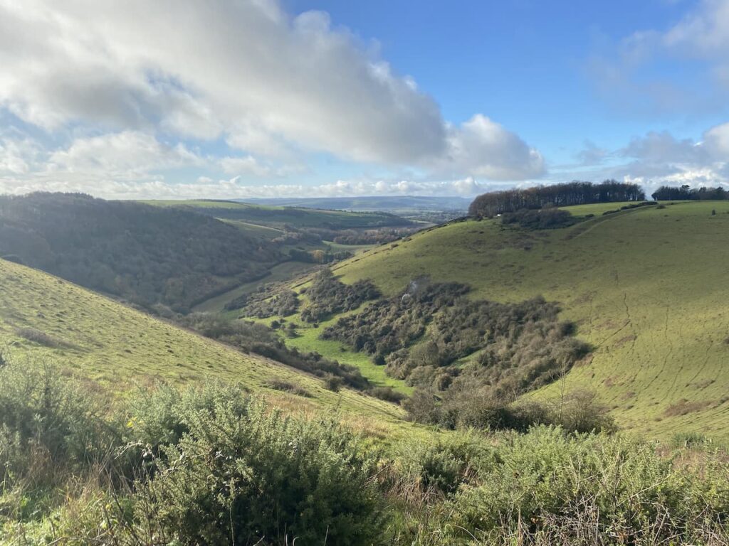
The track goes through Stubhampton Bottom and we stay with the track until we reach a crossing of footpaths near Hanging Coppice, here we turn left joining the Wessex Ridgeway and follow this path steadily uphill along the edge of the woods with fields to our right.

We stay with the path, ignoring a turning on the left where the Wessex Ridgeway goes to the north and soon pass a gateway to Ashmore Bottom. Our route continues along the edge of the woodland and then the path heads east to reach a minor road at Tollard Green.

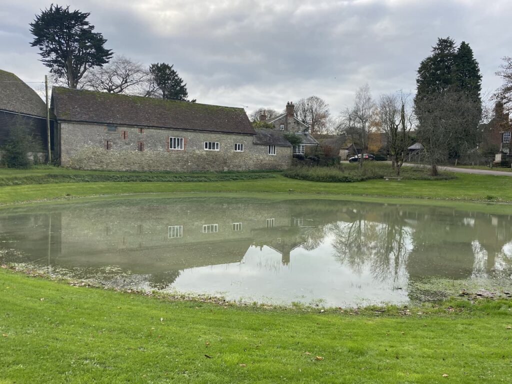
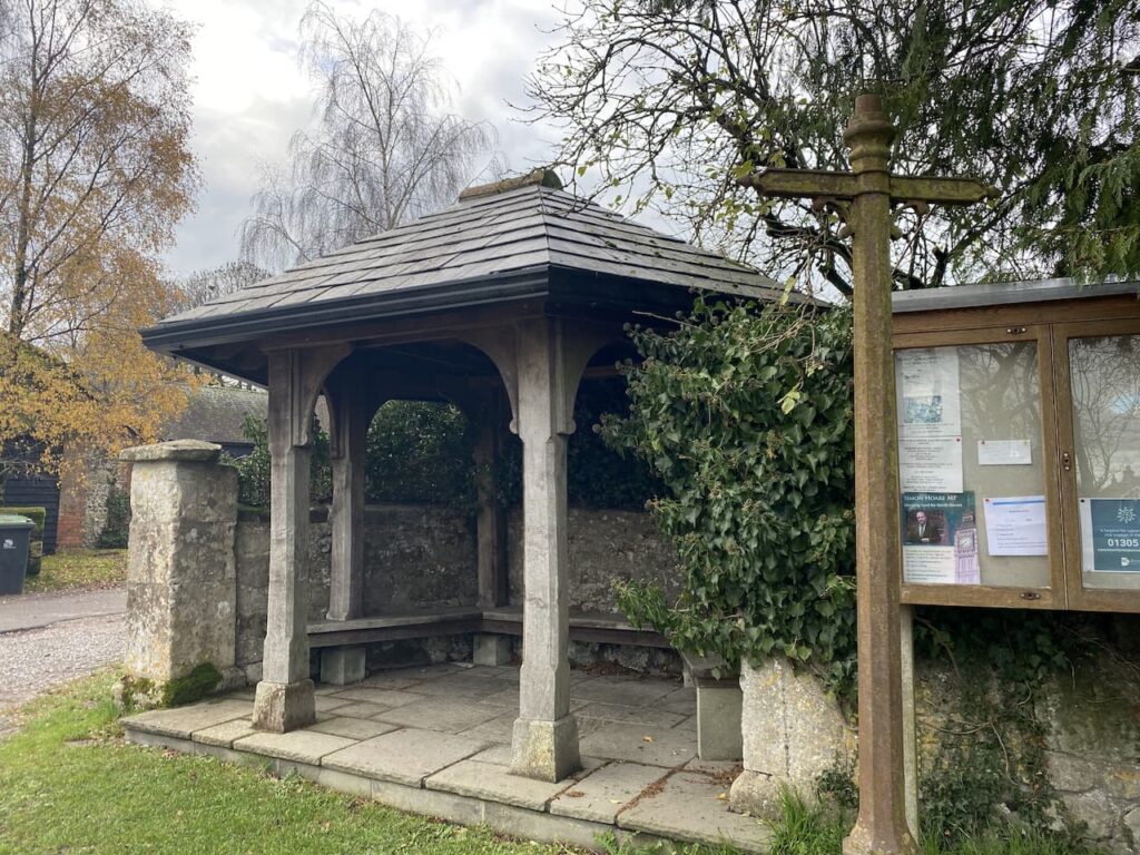
We cross the road and follow a minor road towards Tollard Royal. We pass Tollard Park Farm and then continue into the village to arrive at the church of St Peter ad Vincula which dates from 1291. I have no religious interest in churches. But do find them interesting from a historical and architectural perspective. The interior of this one contains an intricately carved 14th century tomb to a knight, Sir William Payne.

From the church we continue through the village a short distance to reach a junction. Here we cross the road and pass the village pond along a track and soon fork left to head through a gate and pick up The Wessex Ridgeway path going below an escarpment.

On reaching a gate we take a path on the right that follows an estate track, part of the Rushmore Estate, and continue on the Wessex Ridgeway through Ashcombe Bottom.

The track divides as it nears Ashcombe House with the footpath following the left fork. Over the years Ashcombe House has had some interesting residents, back in 1930 the photographer and designer Cecil Beaton leased the property for fifteen years, apparently part of the lease was that he restored the building. More recently it has been the home of Madonna and Guy Ritchie with Ritchie retaining the property after they divorced.
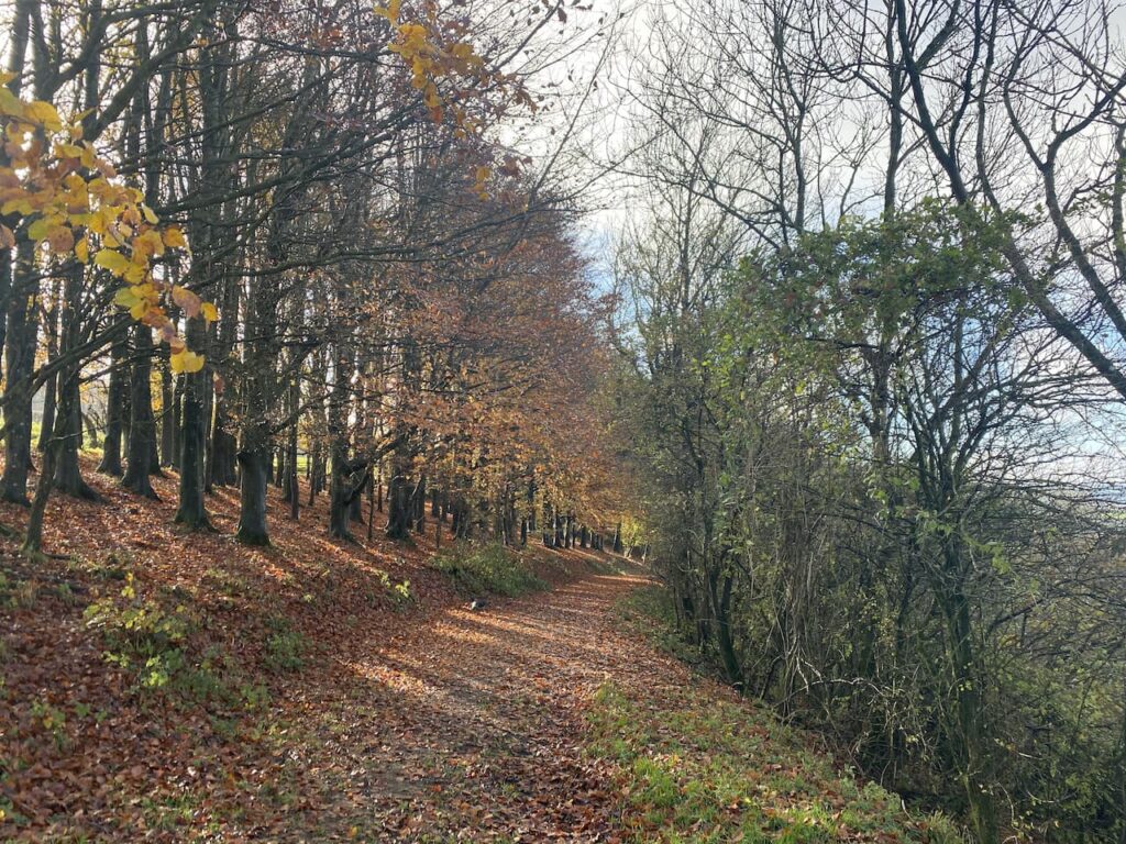
Staying on the Wessex Ridgeway path we enter woods before taking a left turn to head steadily up through woodland.

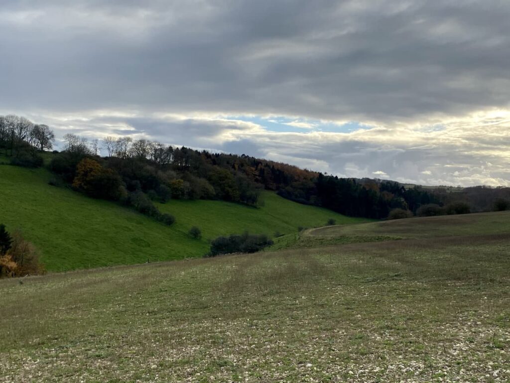
Emerging from the trees we continue uphill on access land. This is a stiff ascent on a hot day so we stop occasionally to admire the view behind us.

After going through a gate we head across the access land to the Ordnance Survey trig pillar on Win Green, this is another trig I have previously visited. It stands 909 feet above sea level and is the highest point on Cranborne Chase and the views from up here are extensive, on a clear day you can see Salisbury, the Quantock Hills, Glastonbury Tor, the Isle of Wight and Bournemouth.

From the trig we head to the National Trust car park and then follow the driveway to reach a road where we turn left and then at a crossroads take the road signposted towards Blandford. We soon reach a path onto the access land of Melbury Down.

We have a brief discussion about taking this route, but the general consensus is that if we go downhill here we will have to head back uphill at some point to reach the car park and as it’s a very hot afternoon this is not a good option. So we walk besides the road until we reach the entrance to Compton Abbas Airfield. Here we stop and get an ice cream from a kiosk.

It was from this airfield that Asil Nadir fled the UK in 1993 following the collapse of his company Polly Peck and an investigation by the Serious Fraud Office. He was a fugitive until 2010 and then was tried and convicted and given ten years imprisonment for false accounting and theft totalling £32 million.
From the airfield we rejoin the road and continue along it and then turn right to reach our starting point in the Spread Eagle car park. Our walk has covered just over 15-miles with two good ascents, which since heading up Win Green Gary has been reminding us is one more than he signed up for at the start of the walk!
You can view this 15-mile walk on OS Maps and download the GPX File Here
To follow our walk you will need Ordnance Survey Outdoor Explorer Map OL118 Shaftesbury & Cranborne Chase
22nd July 2021
© Two Dogs and an Awning (2021)
All information on this site is provided free of charge and in good faith and no liability is accepted in respect of damage, loss or injury which might result from it. To the best of my knowledge the routes are entirely on public rights of way or within areas that are open for public access.
Walking can be hazardous and is done entirely at your own risk. It is your responsibility to check your route and navigate using a map and compass