The start of a new year sees me starting another “Walk the Year” challenge. In 2021 I aim to walk 2,021 miles. I started doing this annual challenge in 2018 so this is my fourth year. In my quest I only count “Boots on Miles” which means the miles I notch up whilst wearing my walking boots. Normal day to day walking does not count as far as I am concerned. In 2020 I walked 2,542 miles which far exceeded previous years; 2,231 miles in 2019 and 2,229 in 2018.
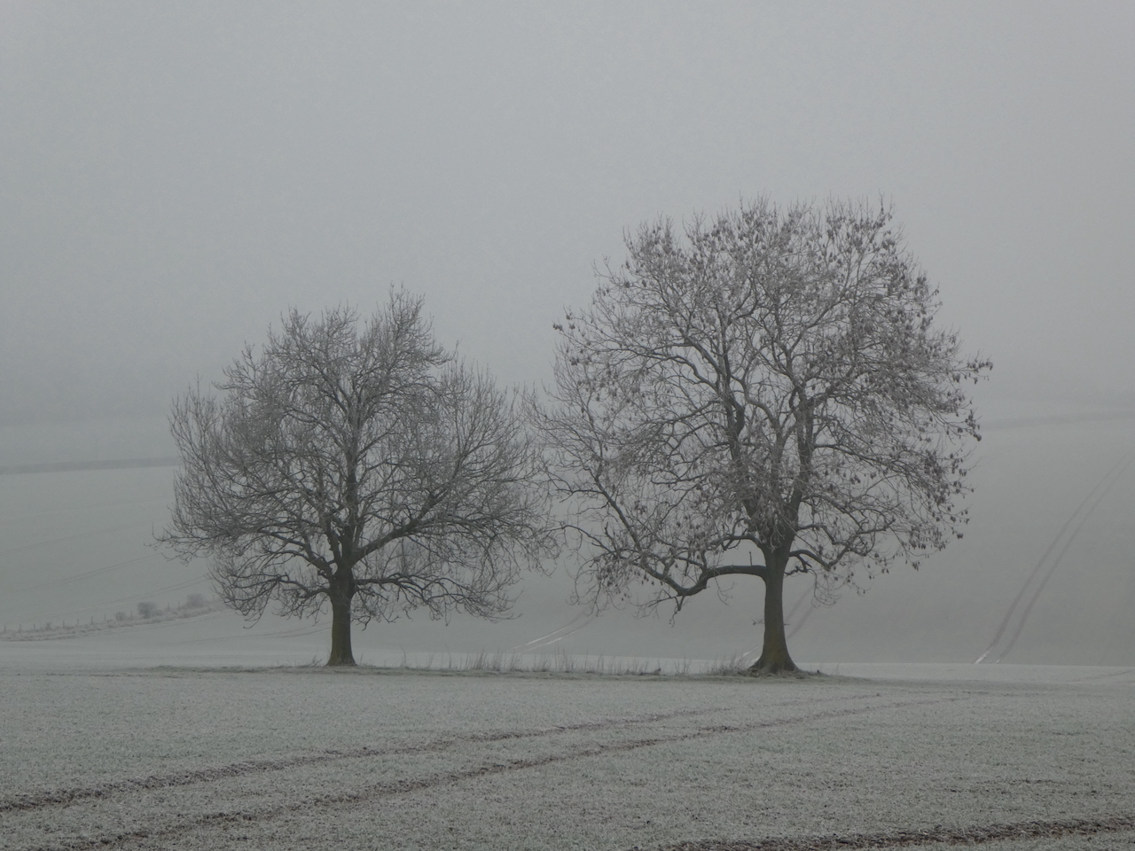
It is a bright but frosty morning so ideal for walking at pace to keep warm and I intend to start the year with a good long morning walk from Pitton, my home village.
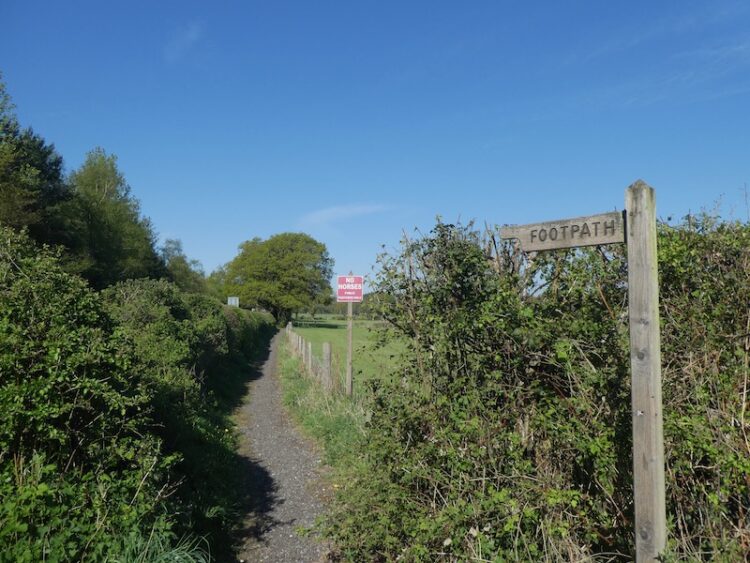
I start my walk from the village pub, the Silver Plough, leaving the car park I turn left and then immediately left along The Green. I ignore footpaths to the right and left and stay on the lane to reach a bridleway opposite Glebe House. At the end of the bridleway I turn right to walk up the track, Winterslow Hollow.

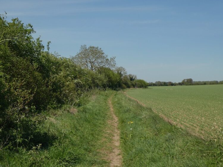
I ignore a footpath on the left and then within 10 yards turn left to join the permissive path running along the fence line and then continue between fields to reach farm buildings. The footpath goes to the left of the farmhouse and then on reaching a track I continue the short distance to a road. I cross and carry on along a track alongside All Saints Church on the edge of Winterslow.

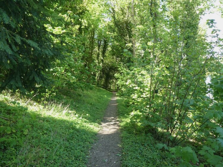
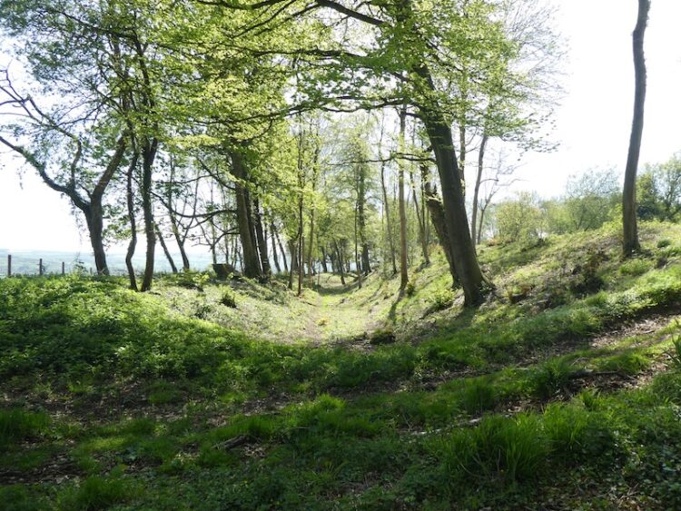
Through a kissing gate I keep to the left hand side of the field to reach another kissing gate, here I keep close to the fence and soon reach another two kissing gates side by side. I go through the one on the left and follow a fence lined path and stay with it as it leads into a copse. The path is easy to follow through the trees and soon turns to the left to descend to a sunken track, here I turn left and head downhill.

This is part of the Monarch’s Way, a route that follows the journey made by Charles II after the battle of Worcester. The 625-mile route starts from Worcester and after a convoluted route reaches the Dorset coast and then heads east to finally end at Shoreham-on-Sea. It is a walk I would love to do, but I would need a long pass from Lynnie before I could consider it!

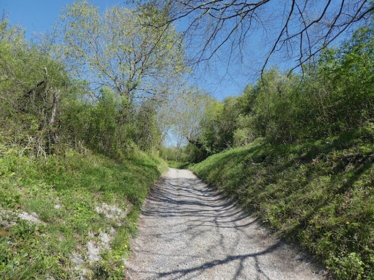
As I continue along the track I am mentally planning the logistics of tackling a walk of over 600 miles. At the moment it feels like it will be some time before such a walk would be possible, but it is potentially something to add to my list of winter projects. The track leads to a road where I turn right and follow a path on the verge. At a crossroads besides a wind pump I turn left back towards Pitton, after about a hundred yards I take a footpath on the right just after the entrance to Windmill Farm. I am still on the Monarch’s Way.

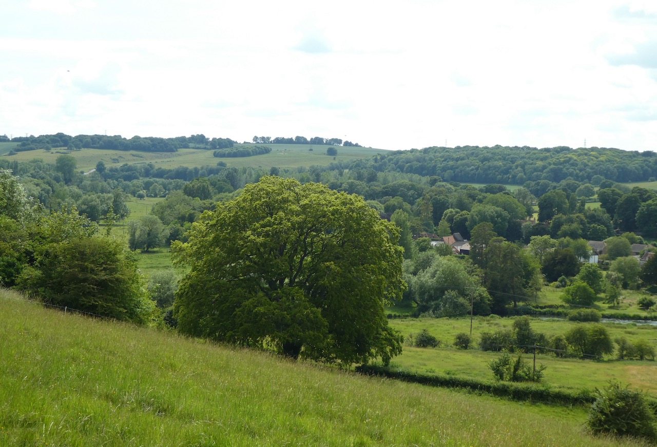
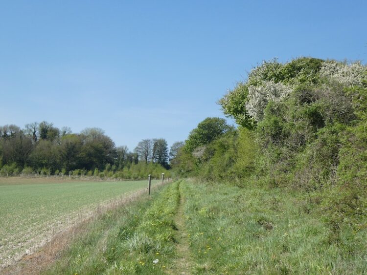
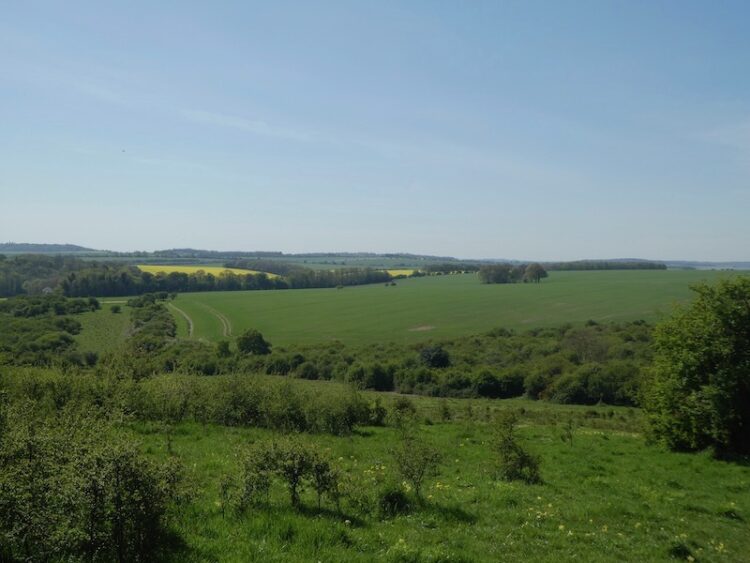
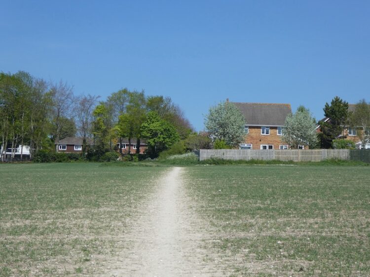
This fenced path leads between fields then reaches a play area at the back of houses in Firsdown. The route continues west, following the course of a Roman Road, to reach a copse. I stay on the main path still heading west through the trees. There are no other footpaths marked on the map for these woods, but obviously local dog walkers have established a few routes. At a clearing in the hedge line I stop to look at the view back towards Pitton.

The next section of the walk looks a bit complex on the maps, but on the ground the footpaths are clear. I emerge from the wooded area and continue straight ignoring a path on the right. Within a few yards I carry straight on at a crossing of tracks and then at the next crossing of tracks, within a hundred yards, I turn right. This path is way-marked as the Monarch’s Way.

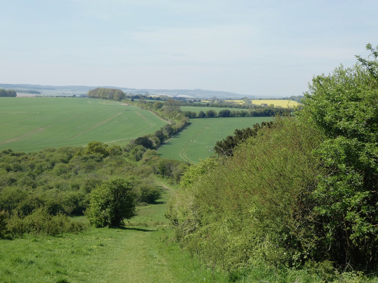
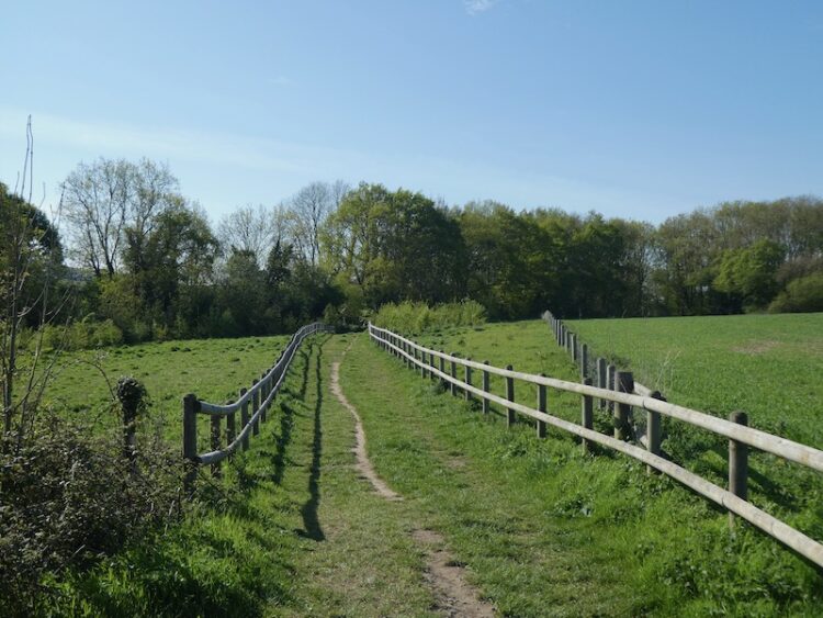
A few hundred yards along this path I reach a stile on the left and cross this, still on the Monarch’s Way, from here I follow the path along the right hand edge of a field.

The path passes through a gate before heading along a driveway to a stable to reach the A30. On the far side I go through a gate and walk besides a field to reach a stile on the right giving access to the Neolithic and Iron Age site of Figsbury Ring.

After wandering around a section of the ring I rejoin the Monarch’s Way, leaving the access land by a gate in the western corner of the field I join a track descending towards the Winterbournes.

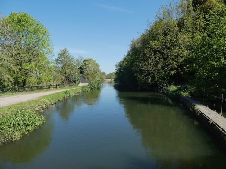
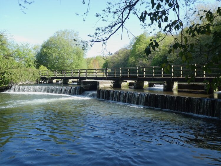
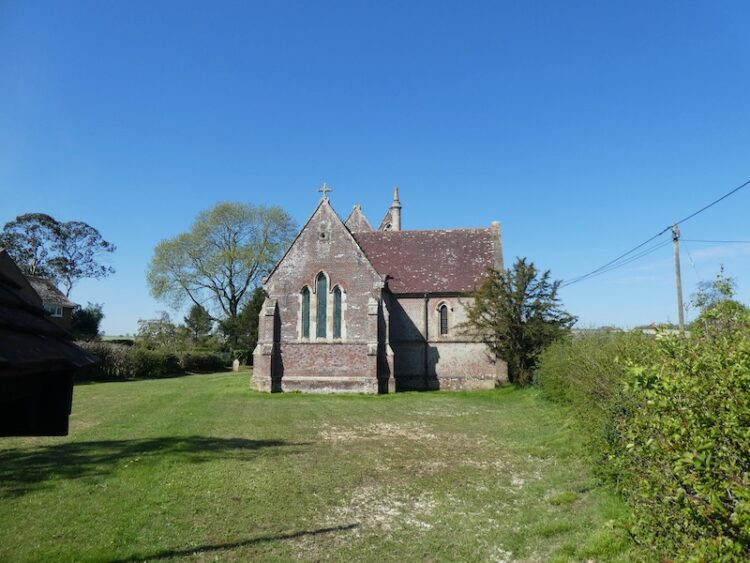
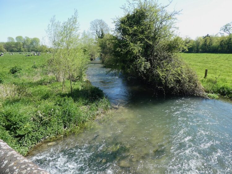
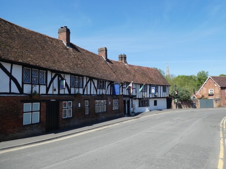
I go through a kissing gate besides a farm gate and continue along a tarmac lane that goes under a railway bridge to reach the village. The lane leads to the A338 where I turn left by St Michael and All Angels Church. After a few hundred yards on the pavement besides the main road I turn right into Tanners Lane and follow this lane as it heads to the River Bourne. I stay with the lane until it reaches a ford, here I take the footbridge and cross the river.

After crossing the river I turn left along a track and then at a junction of tracks turn left to cross the river again. At a junction I turn right into Hurdcott Lane and then after a couple of hundred yards turn right into Black Horse Lane and pass the Black Horse pub.
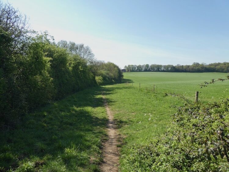
At the end of the lane I join a footpath and follow this as it skirts the edge of a field and then goes through the hedge line into a second field to continue on to a footpath running behind houses. This soon opens up into a driveway to properties and then reaches a minor road in Ford where I turn left and walk up to Broken Cross Bridge that crosses the railway line. After carefully crossing the bridge I turn left into Old Malthouse Lane. After a couple of hundred yards just as I reach industrial barns I take a footpath on the right and follow the path steadily uphill towards the A30.

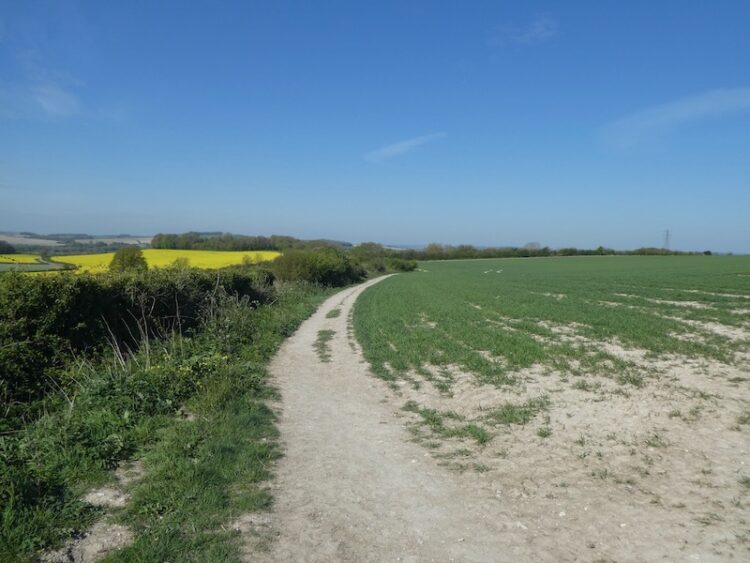
After crossing this busy main road the path continues on the far side through a hedge to follow a farm track along the side of a field.

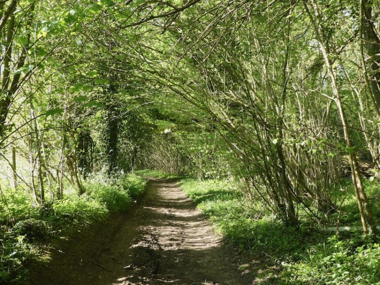
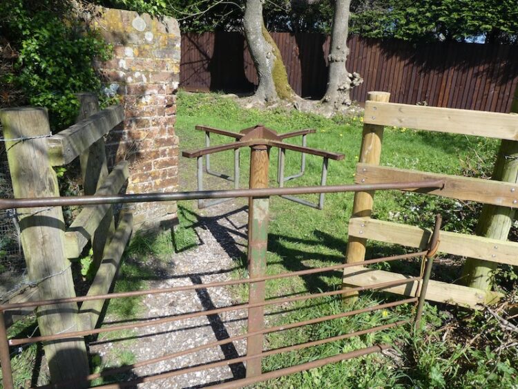
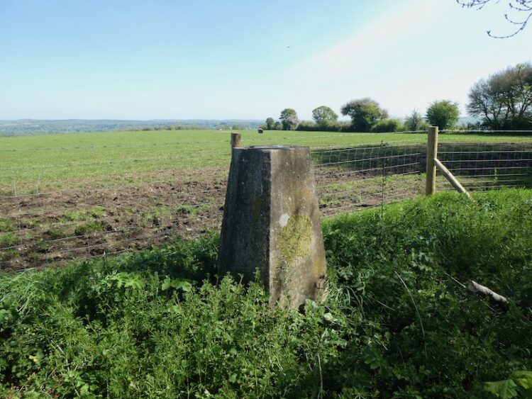
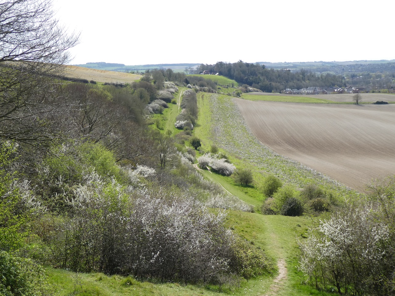
At the top corner of the field I turn right and follow the edge of the field to join a path leading through bushes to reach a kissing gate onto the open access land of Cockey Down Nature Reserve.

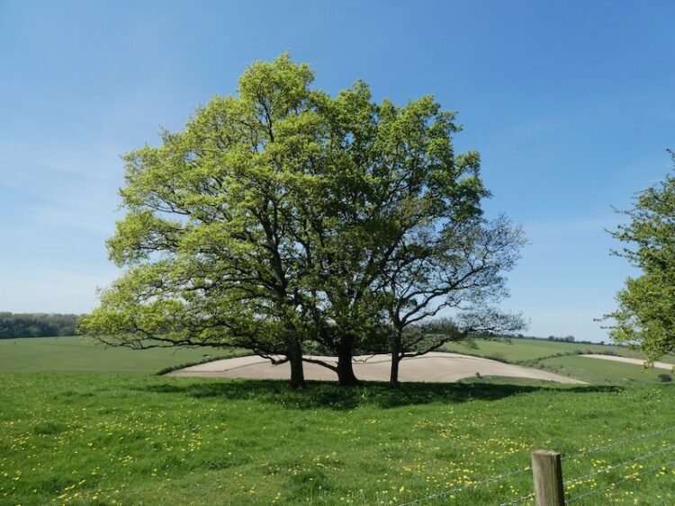
When I was a nipper this hill briefly gained national notoriety when on 26th January 1969 a group of students from University College North Wales carved a chalk Panda onto the hillside as part of a RAG week stunt. The Panda remained visible for some time, but has long since grown over. It is a few months since I was last here and as I walk around the trees I am surprised to see a monolith has been erected.

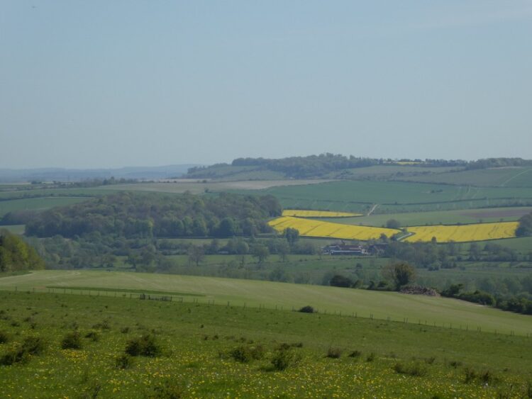
I walk away from the monolith on a path that descends steeply and continues south on Laverstock Down. Here I bump into a couple heading up the hill and they inform me that the monolith appeared overnight and they are eager to catch a glimpse.

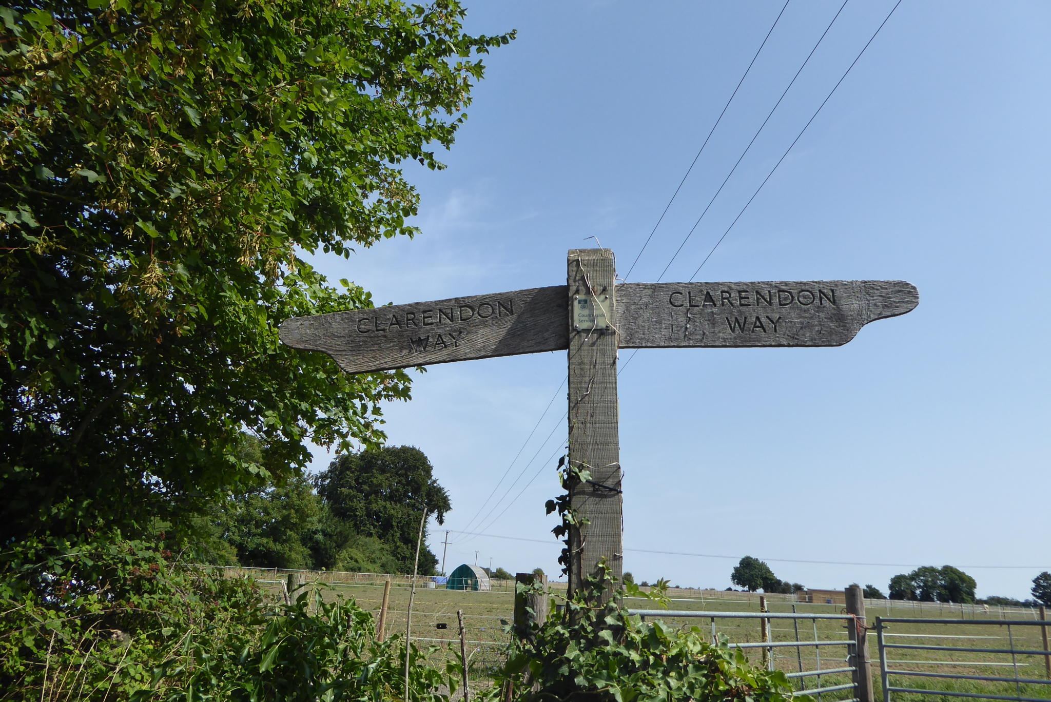
Continuing along the path I encounter a steady stream of people heading up the hill to view the new phenomenon (as it later turns out they were right to do so because 3 days later it was pulled down). At a fork in the path I go left and head uphill to reach a kissing gate and then follow a hedge lined path to reach the gates for Clarendon Estate at Rangers Lodge Farm. I turn left, now on the Clarendon Way and follow the Estate Road before forking right onto the footpath to cross a field heading towards King Manor Hill.
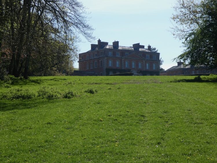
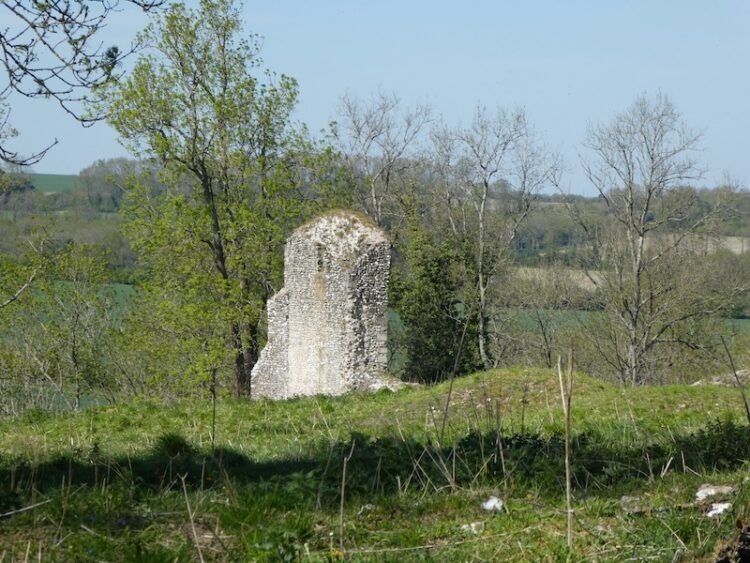
The path continues up a track and as it bends to the right I continue straight on to visit the remains of Clarendon Palace. This Royal Hunting Lodge was a major residence of Kings from the reign of Henry II to Henry VII. When I was a youngster the site was overgrown and the ruins were lost in the undergrowth, now they have been cleared and it is an interesting, historic spot to visit.

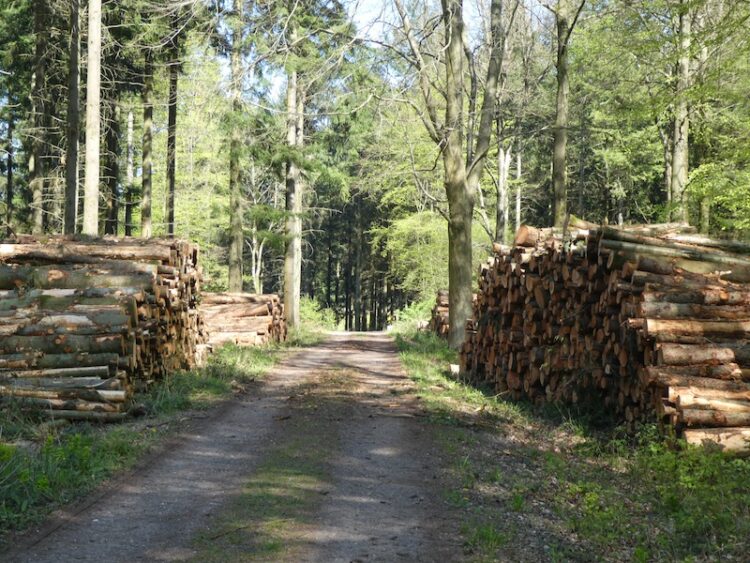
I leave the site of the palace by a gate in the north east corner and rejoin the Clarendon Way and turn left along a track. Within a hundred yards I fork left leaving the track to follow the Clarendon Way sign into the woods. I now stay with the Clarendon Way as it follows a clear path through the trees to reach farm buildings and then continues around the back of Four Cottages and back into Pitton. At the crossroads I turn right and walk up White Hill to reach my starting point at the Silver Plough.
My walk has covered just over 13 miles and has been a great start to my walking year. It has been a very chilly day but the occasional sunshine has made for pleasant walking.
You can view this 13 mile walk on OS Maps and download the GPX File Here
To follow my walk you will need Ordnance Survey Explorer Maps OL130 Salisbury & Stonehenge and OL131 Romsey, Andover & Test Valley
1st January 2021
© Two Dogs and an Awning (2021)
All information on this site is provided free of charge and in good faith and no liability is accepted in respect of damage, loss or injury which might result from it. To the best of my knowledge the routes are entirely on public rights of way or within areas that are open for public access.
Walking can be hazardous and is done entirely at your own risk. It is your responsibility to check your route and navigate using a map and compass.