Tag: Chiltern Hills Walks

  • Fawley and Stonor Park

    Fawley and Stonor Park

    Last year whilst staying at Cholsey Grange CL I did an interesting walk from the site which took me to the deepest well in the Chiltern Hills in the village of Fawley.  When Lynnie saw the pictures she asked if we could do the walk together this year.  So today we are heading off to Fawley, we will vary the route so we can go through Stonor Park, a place I have previously walked  but Lynnie has not visited.

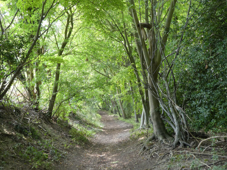
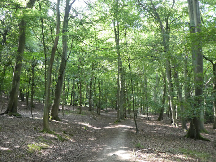
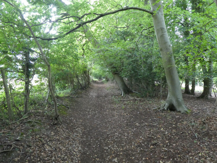
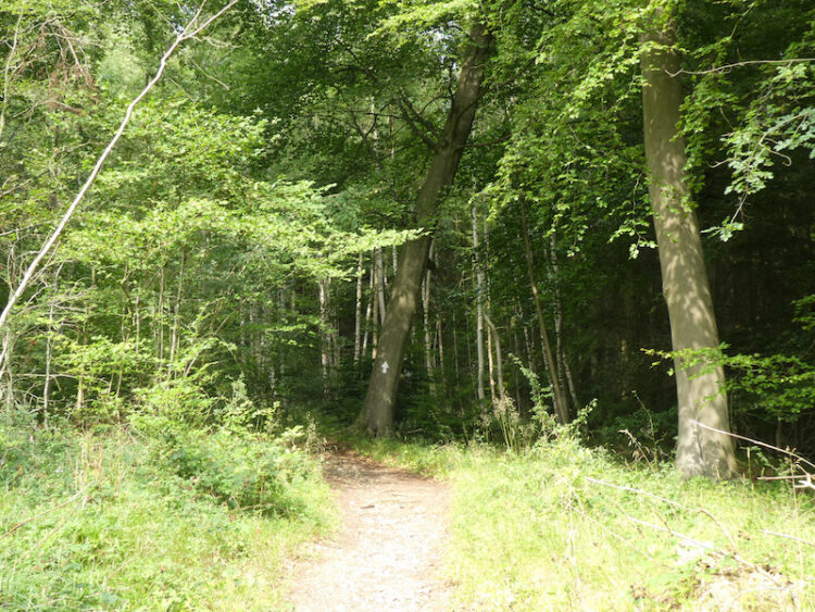
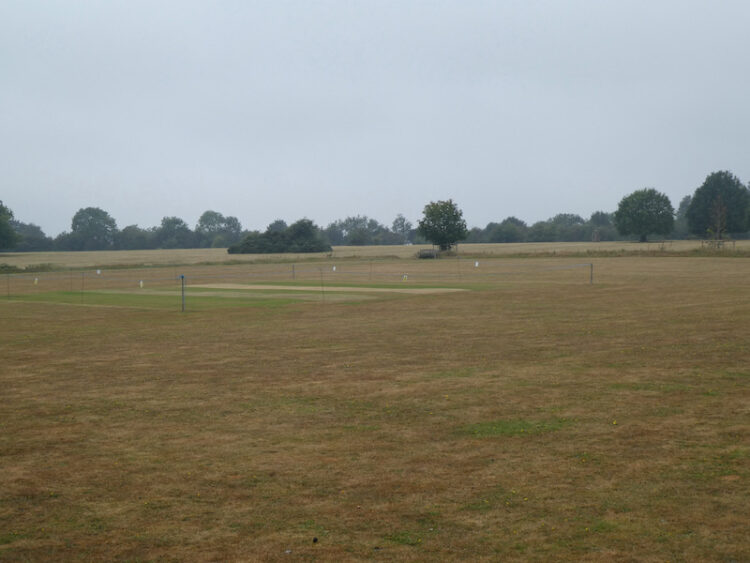
    We leave Cholsey Grange via the entrance drive to Ibstone Common.  We cross the road and join Gray’s Lane and follow this minor road past the Cricket Pavilion and  continuing along the lane besides the common.  Reaching a house on the left we take a footpath that descends steeply into woods  to follow the well-worn track through the trees.

    We ignore footpaths off to the left and stay with the path until it reaches Ibstone Church where we head through the graveyard to the church car park.  

    From the car park we turn right to head downhill on a minor road and then take a footpath on the left along a clear path on the edge of woodland.  We ignore a footpath on the left and then within a few hundred yards take a right and follow the path between a fence line and woods.  The path sweeps to the right still following a fence line to reach a kissing gate

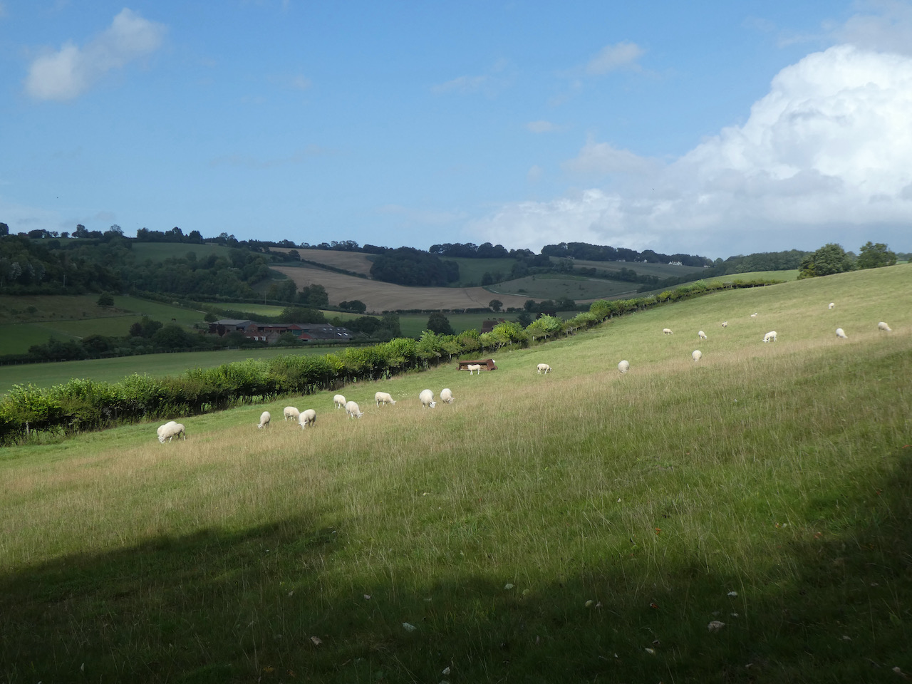
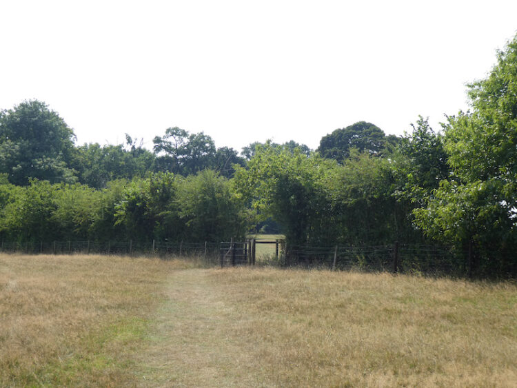
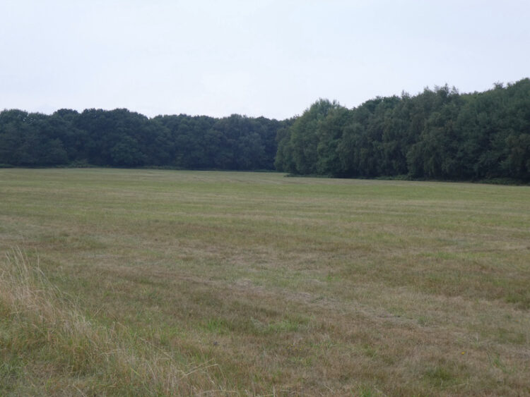
    Through the gate the clear path heads steadily downhill through trees and bushes to reach a gate on the edge of Access Land. We turn to the right and walk a short distance to another gate leading to a clear path across a field towards Turville.

    On reaching the road in the village we turn left and pass the village church to turn right on a lane between cottages.  This lane soon becomes a track and we ignore a path on the left and then one on the right before taking a way-marked footpath on the left cutting diagonally across a field.

    On reaching a tarmac lane, Dolesden Lane, we turn right and walk along it for a few hundred yards and then as it sweeps to the right continue straight on to follow a broad track through the base of Poynatts Wood.

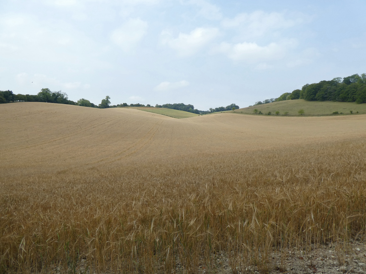
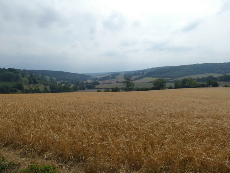
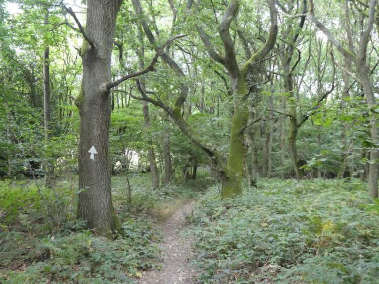
    The footpath continues on through Kimble Wood and on reaching a crossing of paths we turn left and head uphill to cross a field to reach a minor road.

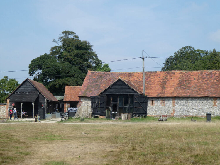
    We carry straight on to follow a country lane signposted to Fawley and Henley.  As we near Fawley we pass the site of the now permanently closed Walnut Tree Inn.  The pub was opened in the early 1960’s by the local brewing company Brakspears but closed in 2003 and now stands in a poor state of repair.  The local villagers have fought a long campaign to get the pub re-opened; sadly it still looks like there is a long way to go.

    We stay on the lane to reach Fawley Green where there are some convenient benches to stop for lunch.  At the east side of the green is the Victorian village well, it is said to be one of the deepest wells in the Chilterns.  I have read from two separate sources that this well is either 397 feet or 338 feet deep.  Quite deep, having lived close to Salisbury Cathedral for most of my life I judge height and depth against the Cathedral Spire, which as I was taught in school is 404 feet tall.

    From the well we go to the west side of the Green and continue on the lane through the village, soon passing the village hall.  A bit further along we come to St Mary’s Church with its attractive flint exterior.  Apparently parts of the church date back to the 12th century, but the tower was added in the 16th century and chancel rebuilt in 1748.  Further restoration work was carried out in the early 1880’s.

    In the churchyard are two large mausoleums.  One apparently dates from 1750 and was constructed as a family tomb by James Freeman of Fawley Court.

    The second is housed behind an iron fence and was apparently built out of Aberdeen granite in 1862 by the Mackenzies also of Fawley Court.

    From the churchyard we turn right leaving the village on Dobson’s Lane, at a footpath sign on the right we turn into a farm driveway and take a path heading by some life size models of cows. 

    Entering a field the path goes diagonally to a stile, I point out to Lynnie that in the fence line there is an Ordnance Survey trig point.  I have previously “bagged” it and Lynnie is content to claim a “bag” from a couple of hundred yards away.

    From the stile we head steadily downhill across a field and into woodland.  The path descends through the trees and continues on to reach a minor road.  We head downhill into Fawley Bottom and turn right and then at a fork in the road by an attractive cottage go left.

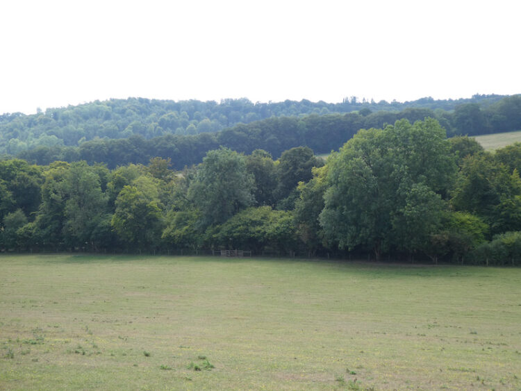
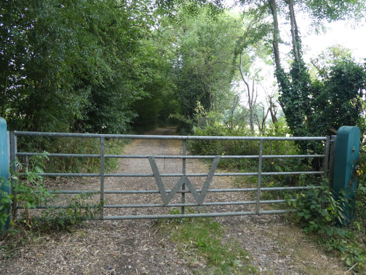
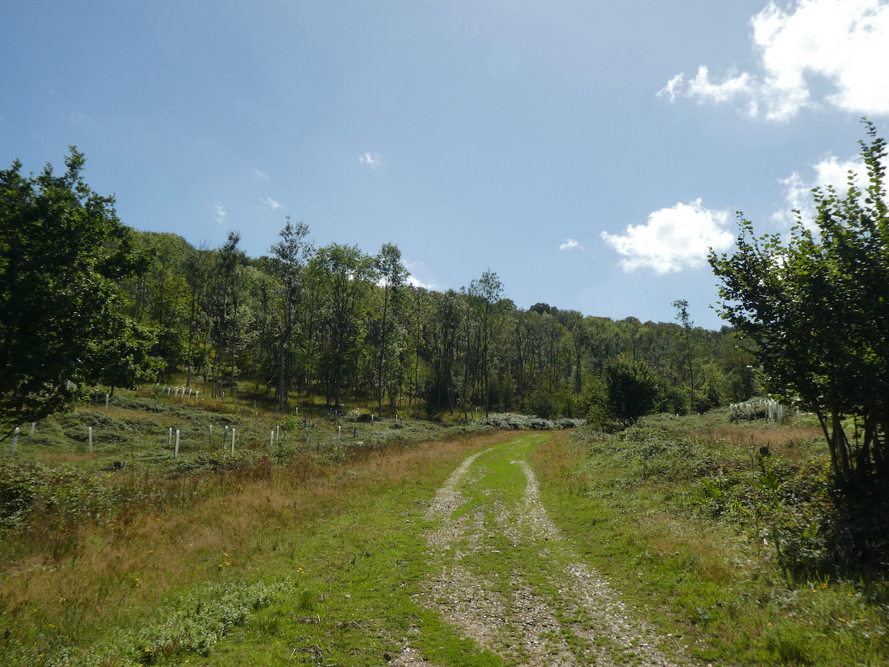
    This road leads through woodland before heading steadily uphill to pass the entrance to Coxlease Farm and then as the road sweeps to the right we take a bridleway on the left heading towards Stonor.  At a junction of paths we continue straight on into Almshill Wood and follow the path as it descends steadily through the trees.

    On meeting a road we turn right and follow it through the village to reach the entrance to Stonor Park.  Here we go through the tall kissing gates on the right and enter the deer park.  The ascending path is now following the route of the Shakespeare’s Way.

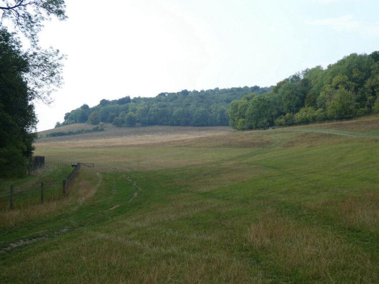
    Soon there is a fine view of Stonor House, according to the website for the estate this house and surrounding parkland has been in the Stonor family for over 850 years. Apparently the house was built on the site of the remains of a prehistoric stone circle.  Beside the house is a 12th century chapel, which is said to incorporate one of the stones from this circle.

    The path now enters trees again as it goes through Kildridge Wood towards Southend.  On reaching a minor road we turn left and then by Southend Common take a lane on the right towards Southend Farm.  Continuing along the track we pass through paddocks and then a gate to follow the track into woodland emerging on the far side to get a good view of Cobstone Mill in the distance.  Since our visit last year it appears to have lost it’s sails apparently they were lost in a storm in February during storm Ciara.

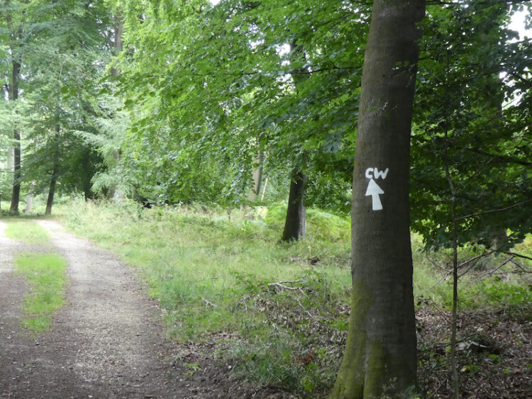
    After crossing a minor road we continue along the Chiltern Way to reach Turville.  In the village we take a footpath opposite the green to reach a gate, we go through and turn right immediately to go through a kissing gate and follow a path across a field below Cobstone Mill. 

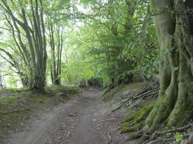
    After going through another kissing gate we join a path going through trees to reach a minor road which we cross and continue to a junction of paths.  Here we keep heading north on an attractive path through the edge of Mill Hanging Wood.

    At a junction of paths we turn right and head downhill to reach a path in the bottom of the valley.  Here we turn left and stay on this track, ignoring paths to the left and right until we reach a clearing in Twigside Bottom.  Here we turn left and follow the footpath back uphill towards Cholsey Grange. 

    This has been a cracking fourteen and a half mile walk.  Although I have walked all the paths before it is the first time I have done this route and for much of the way it was new ground for Lynnie.

    You can view this 14.5 mile walk on OS Maps and download the GPX File Here

    To follow my walk you will need Ordnance Survey Explorer Map 171 – Chiltern Hills West

    20th August 2020

    © Two Dogs and an Awning (2020)

    All information on this site is provided free of charge and in good faith and no liability is accepted in respect of damage, loss or injury which might result from it.  To the best of my knowledge the routes are entirely on public rights of way or within areas that are open for public access.
    Walking can be hazardous and is done entirely at your own risk.  It is your responsibility to check your route and navigate using a map and compass.

  • Walking to Frieth and  Skirmett

    Walking to Frieth and Skirmett

    We have nearly reached the end of our stay at Cholsey Grange CL, we head home tomorrow.  So today is our last chance to have a wander in the Chiltern Hills and we have decided to walk from the site and head across to Frieth and then follow paths to Skirmett before heading back to the site via Turville.

    We leave through the gate at the far end of the caravan site.  Joining the footpath we turn left and walk downhill into the bottom of the valley and then turn right to walk through Twigside Bottom.  

    We follow the footpath through the bottom of the valley then just before reaching a road at Gravesend we turn right on a footpath to head uphill.  Within fifty yards at a fork in the path we go left to follow the path through the bottom of Mill Hanging Wood.  At a junction of paths we go downhill on a path leading into Fingest.  On reaching the road we carry straight on to pass the church and the Chequers Inn.

    After a couple of hundred yards, just as we leave the village, we take a footpath on the right with a finger post for the Chiltern Way.  This path goes through a field and then starts to climb gradually besides Goddard’s Wood.  At the top of the hill we enter Fingest Wood and stop briefly to admire the view behind us.

    We follow the clear path, ignoring a sign on the right for the Chiltern Way and emerge from the wood to join a track that becomes a road into Little Frieth.  At a junction we continue straight ahead towards Frieth and at the next T-junction turn left and walk into the village to pass the attractive Village Hall.

    A bit further along the road we reach the church of St John the Evangelist which was built in 1848, we pause to take a look around.  It reportedly has fine stained glass windows but unfortunately it is locked so we are unable to judge for ourselves.

    Resuming our walk we take a footpath running along the east side of the churchyard and are soon besides fields.  At a junction of paths we turn right and follow the hedge line of a field towards barns.  As we near a road we turn left on a footpath that goes besides the barns and then continues on alongside the road to reach the entrance to Parmoor Cricket Pitch.  A few yards further on we take a lane on the right which runs besides St Katharine’s Parmoor, the house is now a religious retreat.

    The estate was once owned by the Knights Templar. In the 16th century it was the home of the Saunders family and in 1603 Mary Saunders and her husband Timothy Doyle extended the property. In 1860 Henry William Cripps QC purchased the property, which later passed to his son Charles Alfred Cripps QC who in 1914 became Lord Parmoor of Frieth.  His youngest son was Stafford Cripps the post war Chancellor of the Exchequer.

    When Lord Parmoor died in 1941 the house was let to King Zog of Albania, he had been forced into exile when Mussolini invaded his Country. In 1946 King Zog left for Egypt and the house lay empty for a while before the second Lord Parmoor sold it to the Community of St Katharine of Alexandria who had been bombed out of their home in Fulham.  In 1995 the last remaining member of the Community, Mother Christine, gave the house to Lady Ryder, of The Sue Ryder Foundation fame, it has remained a separate charity providing a spiritual retreat.

    The lane we are on passes the grounds of the house and then starts to head downhill on a sunken track through Hatchet Wood.

    This is a long steady descent with the occasional glimpse of the view down the valley.

    The track leads us to a minor road where we turn left and walk down to the village of Skirmett.  Now we turn right and wander through the village passing the Frog Pub and continuing on to reach a lane on the left, Watery Lane.  We follow this lane to reach a minor road and turn left to walk into Turville where we pass the The Bull & Butcher pub.

    We continue through the village and then take a footpath on the right opposite an attractive old barn, which is currently having work done to it.  This path leads between properties to reach a field.

    Following the clear path across the field we reach a set of kissing gates to enter access land and walk a few yards uphill to another gate on the left.  This leads into woodland with a clear path which heads steadily uphill to a kissing gate.  There are fine views along the valley from here.

    We follow the uphill path along the fence line and then along the edge of woodland.  We ignore a path on the right leading into the trees, instead staying with the fence to the end of the field where we turn right uphill and after twenty yards take a footpath on the left. After about a hundred yards we take a footpath on the right which heads uphill through Park Wood to reach a minor road close to Ibstone House.  Here we turn left and follow the road through Ibstone,  At the point where the road narrows we take a footpath on the right and follow this down to the gate on the edge of the caravan park.

    Our walk has covered just over nine miles and it is now time to start packing up so we can head home in the morning.  Hopefully it won’t be too long before we are away in the caravan again. 

    You can view this 9 mile walk on OS Maps and download the GPX File Here (Subscription to OS Maps Required)

    To follow my walk you will need Ordnance Survey Explorer Map 171 – Chiltern Hills West

    20th August 2020

    © Two Dogs and an Awning (2020)

  • Pishill and Russell’s Water

    Pishill and Russell’s Water

    Yesterday was a day of thunderstorms and heavy rain so it was a case of trying to find a window between the downpours to get out and walk.  I saved my main walk until early evening and managed to stay dry on a familiar route from Cholsey Grange CL to visit the Cobstone Mill.  

    Today there are still storms about but I would rather walk in rain than the oppressive heat of last week.  Crosby and I are heading out for a jamabout from the caravan site.  I use the term jamabout for a walk without a predetermined route.  I often head off with a rough idea of where I am going and then spot something interesting, or just decide to explore a path I have not walked before.  It is a great way to walk and has taken us to some interesting spots.

    With lunch, water and wet weather gear packed in the rucksack Crosby and I head off from Cholsey Grange via the farm track to Ibstone Common and pass the cricket ground and pavilion.  I follow the tarmac lane past Hellcorner Farm and on reaching the footpath that continues straight on from the lane gradually descend through woodland.

    At a bend in the footpath I take the right fork going onto the downs with pleasant views of the valley.

    I go downhill,  straight over a field and through a gate into woodland. This brings me to Holloway Lane, which I cross to take the track directly opposite climbing up through woodland.

    The track leads top hill to arrive at Turville Heath near the Barn cafe.

    I head south across the heath to reach a minor road where I turn right and then in a few yards come to a bus shelter, here I cross the road and take the footpath opposite which goes through a kissing gate besides a house.  Following the clear path I cross fields going through further kissing gates to reach a track where I turn right. 

    This track leads to a bench with fine views across the valley and then descends through arable fields to a crossing of paths.  I go straight over and head up the opposite side of the valley.

    On reaching a track, Hollandridge Lane I cross and join a footpath that descends to a lane where I turn left and walk a few yards to a road.  I turn right and then after fifty yards take a lane on the left signposted to the church.  This lane heads uphill to reach the attractive Pishill church.  

    Resuming my walk I continue uphill to pass Pishill House and then at a junction in the path go right to head east towards Long Wood.  This track soon leads into woodland.

    At a crossing of paths in the woods I continue straight on, still heading east towards Russell’s Water.  The path leaves the woods and becomes hedge lined and then passes farm buildings to reach a common.  

    I now follow a track across the common, still heading east and then as I near the village I turn right to head north around the edge of the common on the Chiltern Way.  The well used path reaches trees and I follow the clear way-markers heading downhill.

    On reaching a road I cross and join a Permissive Path that heads steeply uphill through the trees.  Such paths are always welcome as they mean  avoiding a section besides a road.  I often wonder why more local authorities don’t work with landowners to ensure safe passage for walkers.  This path is well marked, and well used as it is on the Chiltern Way.

    As the path starts to level it re-joins a public footpath with clear way-markers for the Chiltern Way.

    This is an attractive area of woodland.  I stay with the Chiltern Way as it undulates towards College Wood.

    Once in College Wood there is a steep ascent to reach a gate to a field of pasture.  One of the many signs on the gate highlights that the gate was paid for by the local Brakspear brewing company in exchange for circular walks from various pubs.  I must be missing a trick, I have over 700 walks from 75 caravan sites.  Perhaps I should I have done my blog as walks from pubs!

    I cross a field of pasture and then go through another gate to reach Hollandridge Lane.  I cross and continue on the Chiltern Way over a field and into woodland.  At a crossing of tracks in the trees I go straight on heading north on a clear track.

    The track leaves the trees and continues between fields  and then at a way-marker goes right beside a fence and then narrows between properties.  On reaching a lane I turn right and follow this track into North End where I turn left and walk besides the village green  to reach a junction of minor roads besides the village pond.  Here I go straight on along a track which soon reaches a gate into the Wormsley Estate.

    I continue along the bridleway which soon becomes a fine sunken track heading downhill.

    On reaching an estate road at the foot of the hill I take a footpath through a gate on the right and head across a field to Hale Wood.  The path through this small area of woodland reaches a field which I cross and then follow the path into Great Wood and start to head uphill. 

    This is a stiff ascent and I try to tackle it without stopping which is a  great test of both legs and lungs.  Fortunately it is a cooler day today and I manage the ascent in one go.  A few days ago in the heatwave I would have needed a couple of stops. Emerging from the trees the path crosses a field towards houses.  

    Following the path between gardens it then joins a driveway leading to Grays Lane.  Here I turn left and follow the lane to pass Ibstone Common and the village cricket pitch where the storms of the last few days have put some colour back into the parched grass.

    From the Common I cross the road and follow the driveway back to the caravan site.  It has been a very pleasant day walking.  I have covered just over ten miles and managed to avoid any rain.

    You can view this 10 mile walk on OS Maps and download the GPX File Here

    To follow my walk you will need Ordnance Survey Explorer Map 171 – Chiltern Hills West

    13th August 2020

    © Two Dogs and an Awning (2020)

    All information on this site is provided free of charge and in good faith and no liability is accepted in respect of damage, loss or injury which might result from it.  To the best of my knowledge the routes are entirely on public rights of way or within areas that are open for public access.
    Walking can be hazardous and is done entirely at your own risk.  It is your responsibility to check your route and navigate using a map and compass.