It is the time of year when I always like to get away for a few days walking on Exmoor. There is something exhilarating about being out in the sort of weather that keeps most people tucked up inside. So when the opportunity arises to hitch up the caravan and head to Minehead for a week I jump at it.
Lynnie is not so keen on winter walking and has opted to stay at home. Unfortunately Crosby is getting old and the walking I have planned is beyond his old joints so he is staying at home too.
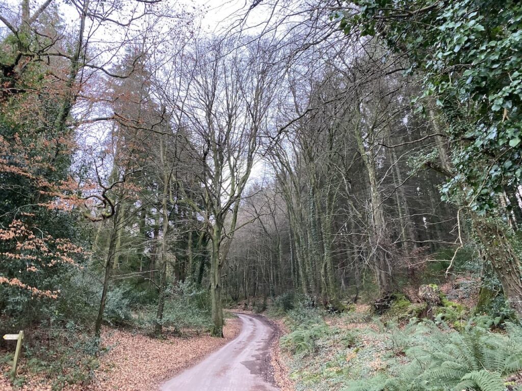
I am a frequent visitor to Minehead CAMC site so it doesn’t take long to set up and then I am lacing my boots up and heading out for a walk before it gets too dark. Leaving the site I turn left and walk uphill along the pavement beside the A39, Hopcott Road. On reaching The Hopcott I turn left to follow the narrow tarmac lane as it heads steadily uphill passing Higher Hopcott and then reaching woodland.

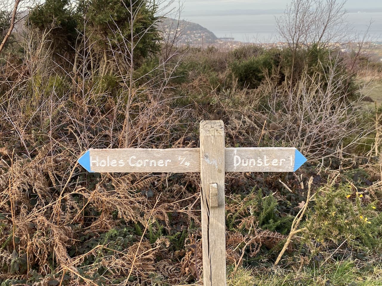
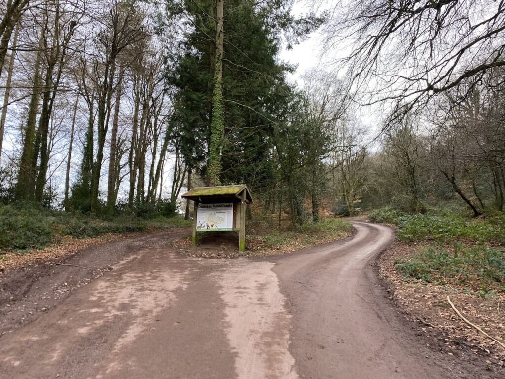
I ignore footpaths leading off from the road until I reach an information board for Dunster Woods.

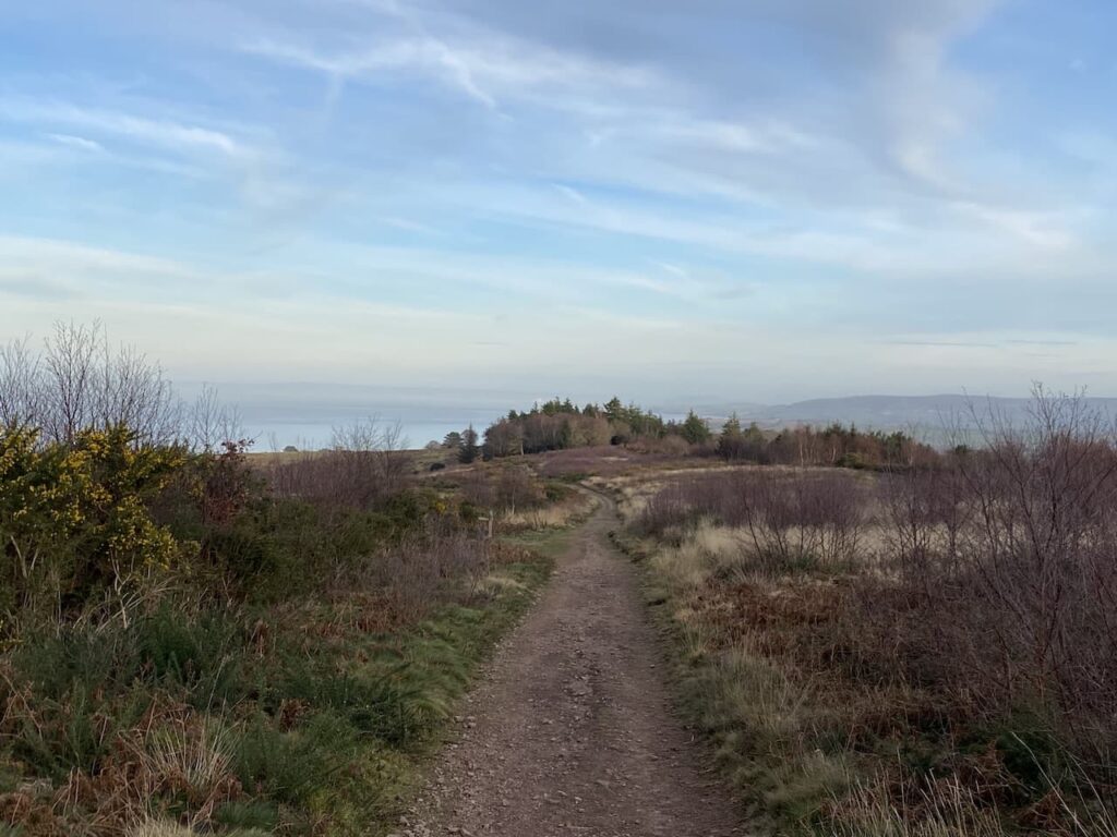
I take the track to the left of the information board and continue uphill to what is usually a parking area but it is currently closed because of forestry work going on in the woods.
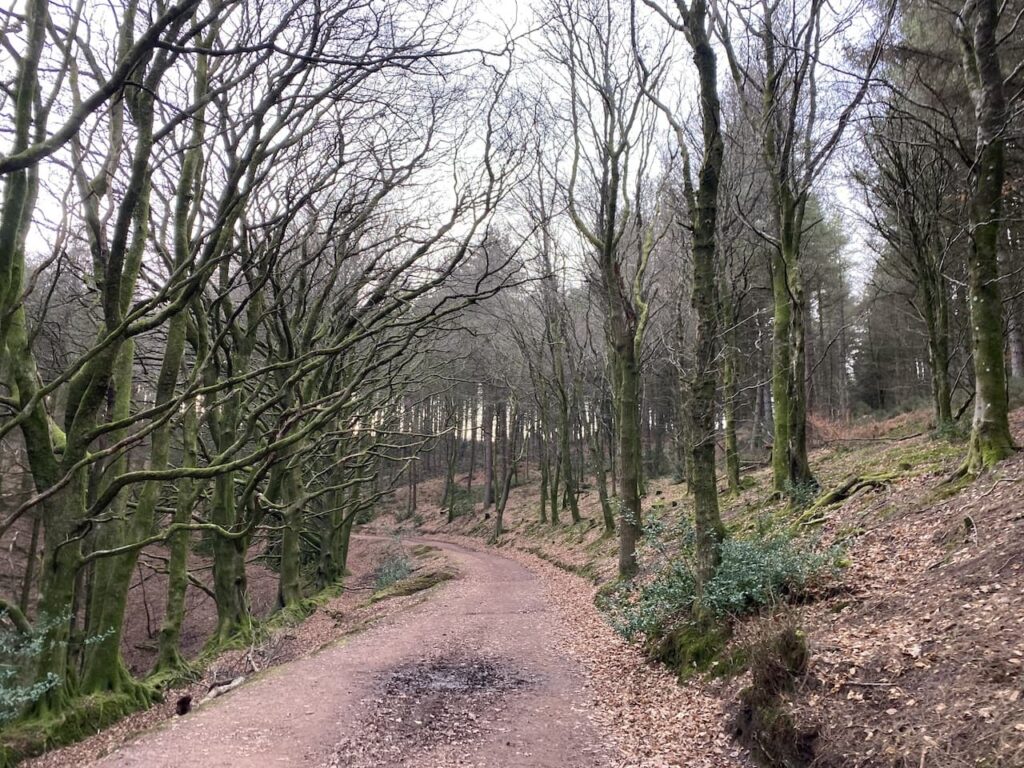
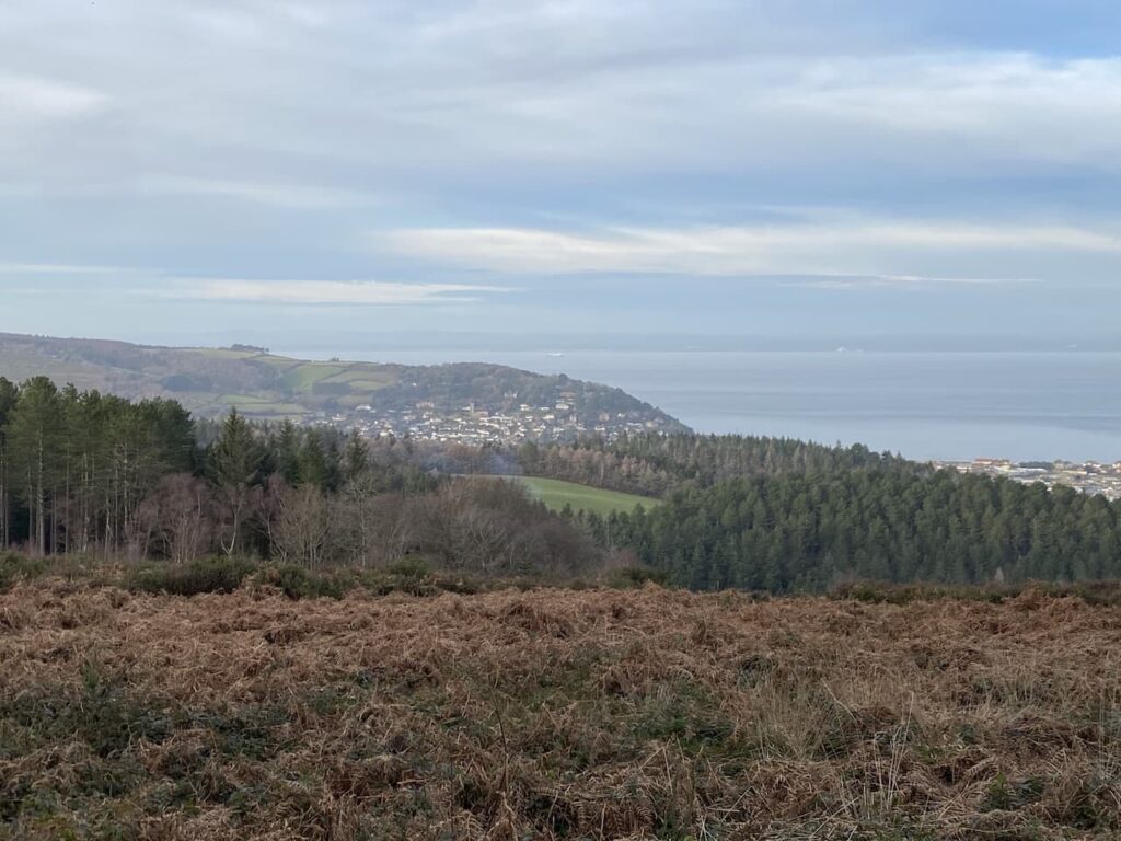
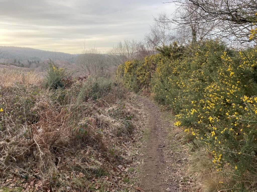
I keep with this track as it turns left and starts to descend into Long Combe. When I last walked here the track was surrounded by trees but now there are far reaching views.

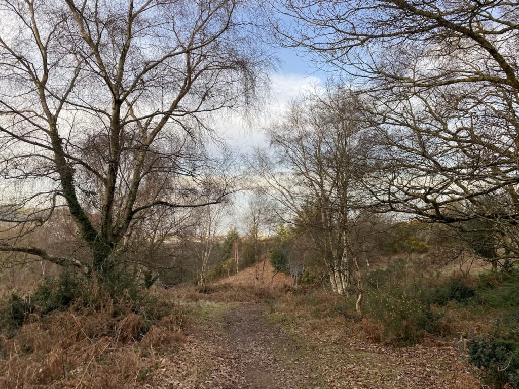
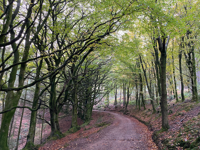
Ignoring a footpath to the right I continue heading downhill on this steep track and I’m soon in an area where the trees have not been cleared.

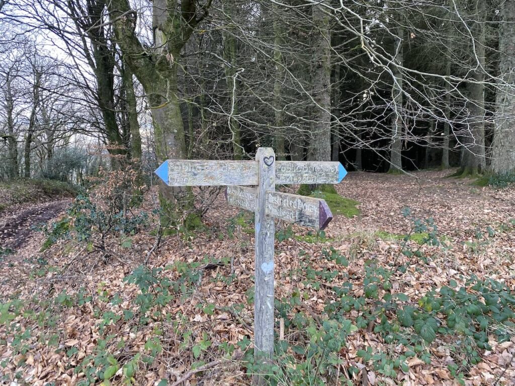
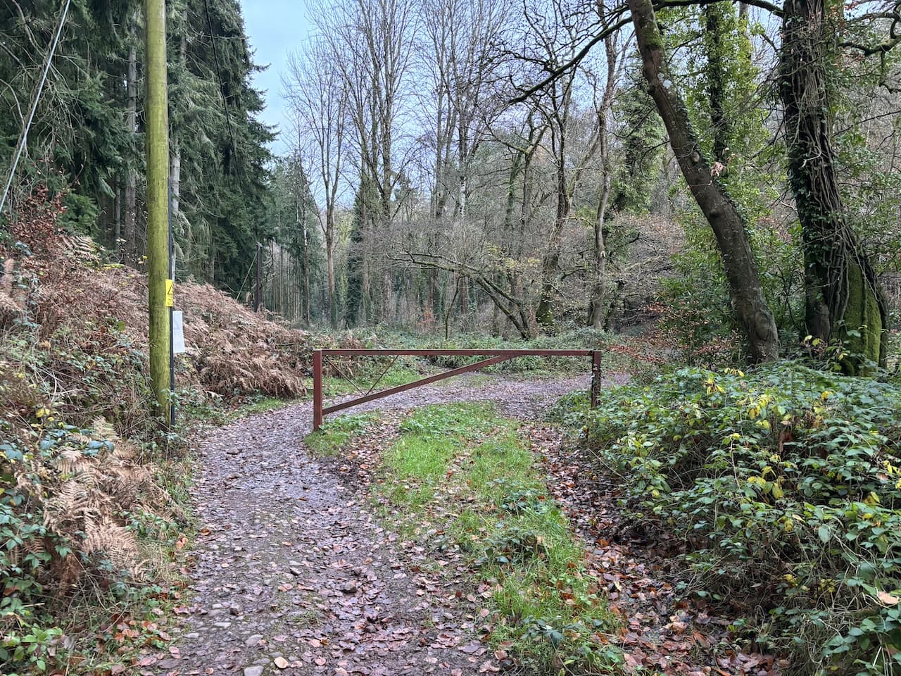
At a five way junction of tracks and paths I take the first footpath on the right and head downhill to the bottom of the combe and then turn left and pass a metal gate.

I now cross the stream running through the combe and follow a track heading towards Alcombe.

From here the route is very straightforward. The track soon becomes Manor Road and enters the outskirts of Alcombe. On reaching the Britannia Inn I turn left into Church Street.

Church Street leads to the A39 where I turn left and walk the short distance back to the caravan site. This little circuit has covered just over three and a half miles and has been a good stretch of the legs after my earlier journey. It is now time to plan my walking for the next couple of days.
You can view this 3 mile walk on OS Maps and download the GPX File Here
To follow my walk you will need Ordnance Survey Explorer Map OL9 – Exmoor
5th December 2023
© Two Dogs and an Awning (2023)
All information on this site is provided free of charge and in good faith and no liability is accepted in respect of damage, loss or injury which might result from it. To the best of my knowledge the routes are entirely on public rights of way or within areas that are open for public access.
Walking can be hazardous and is done entirely at your own risk. It is your responsibility to check your route and navigate using a map and compass.