Category: Travel

  • Three Trigs from Lyndhurst

    Three Trigs from Lyndhurst

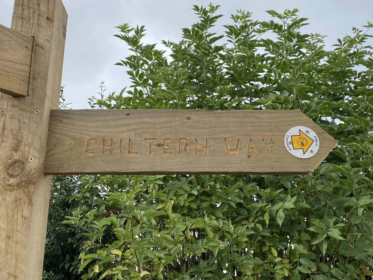
    Over the last couple of years my walking buddy Mandy and I have been brushing up our navigation skills by attending the National Navigation Award Scheme courses run by Nigel from New Forest Navigation.  So far we have achieved the Bronze and Silver awards and will soon be heading off to the Brecon Beacons for the Gold course.  

    I quickly realised that the skills learnt on the courses needed to be frequently used to ensure they  embedded.  So today Mandy and I are heading out into the New Forest with map and compass whilst leaving our electronic navigation devices in our rucksacks.

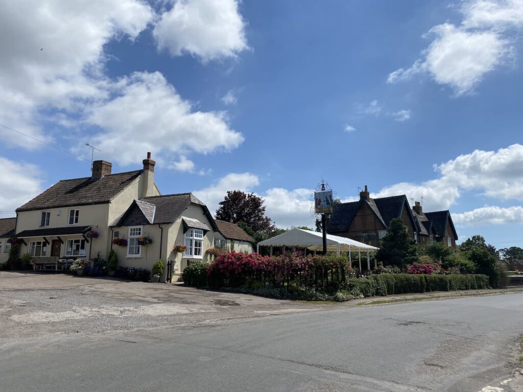
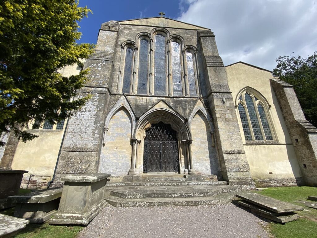
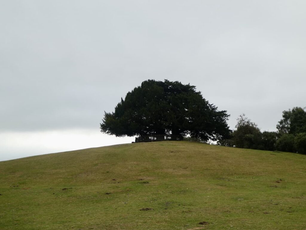
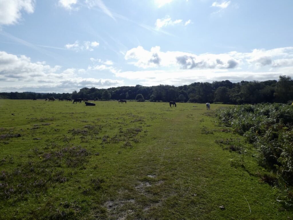
    The starting point for our walk is the Bolton’s Bench car park, this is just off the A35 near the centre of Lyndhurst (Grid Ref: SU 303081).  From the car park we head across the grazing land gradually ascending to Bolton’s Bench.   This circular bench around Yew Trees on top of a natural hillock dates back to the 18th century and commemorates the Duke Of Bolton, whose family were apparently Master Keepers of the Burley Bailiwick.

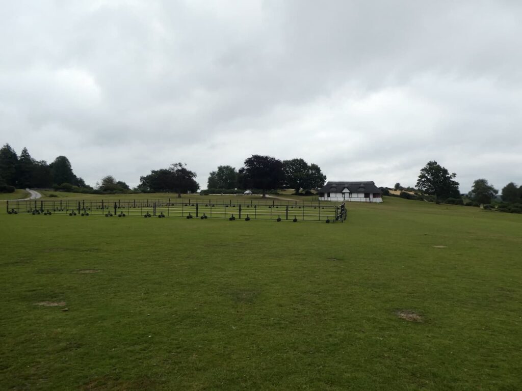
    To our left is the Lyndhurst and Ashurst Cricket Ground, in the past I played cricket on a number of Forest pitches but this is one I never visited.  It is a cracking location and has a stunning old thatched pavilion.

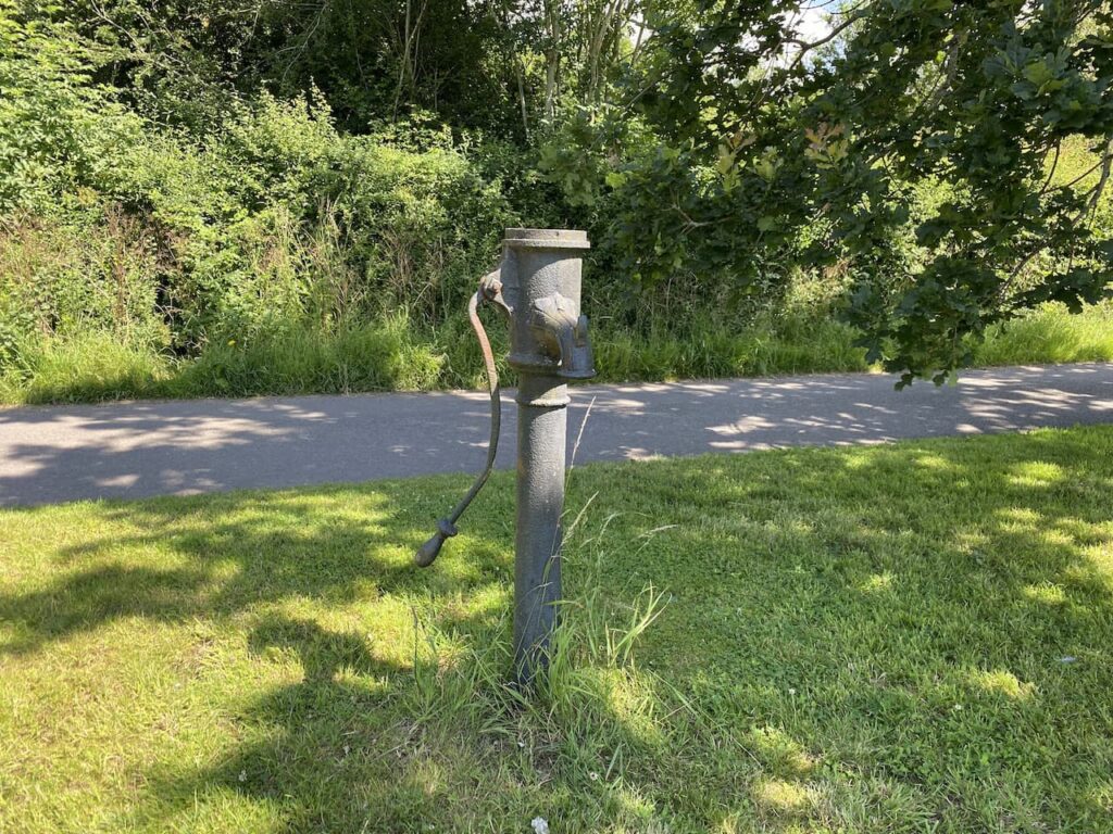
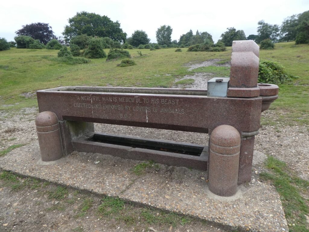
    After passing the pavilion we soon reach a sandy area and head uphill to reach a fine water trough with and inscription indicating it was installed in 1902.

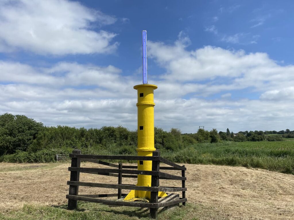
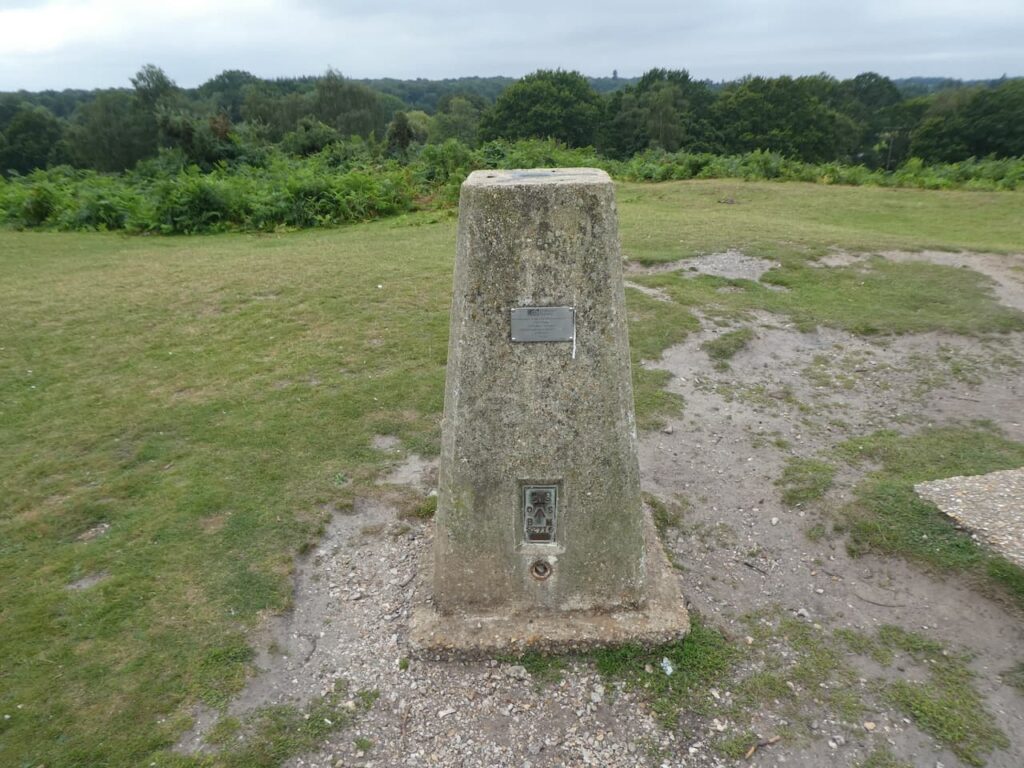
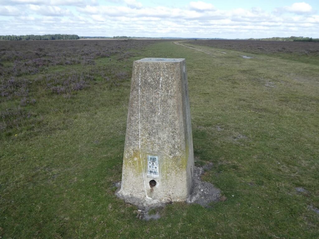
    Close to the water trough is the Lyndhurst Trig Pillar, this was my 236th trig when I bagged it last December.

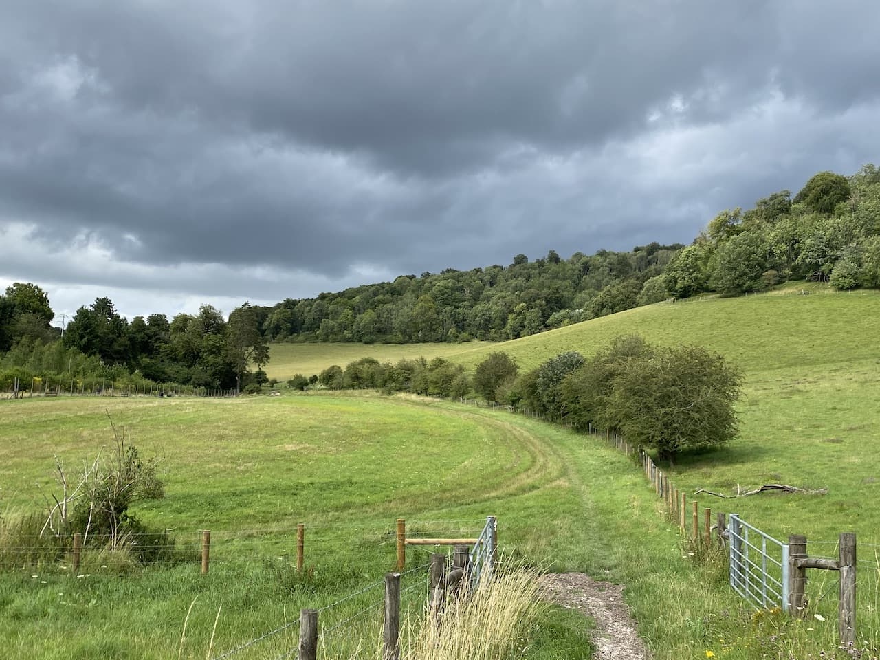
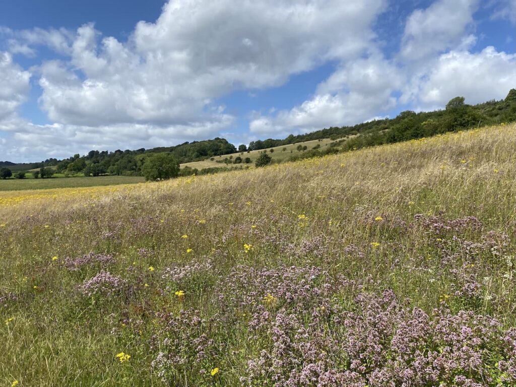
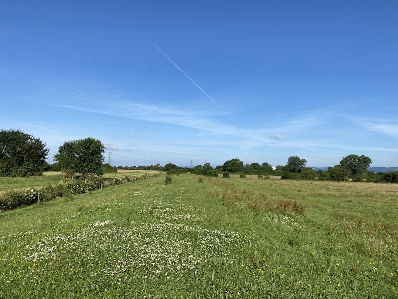
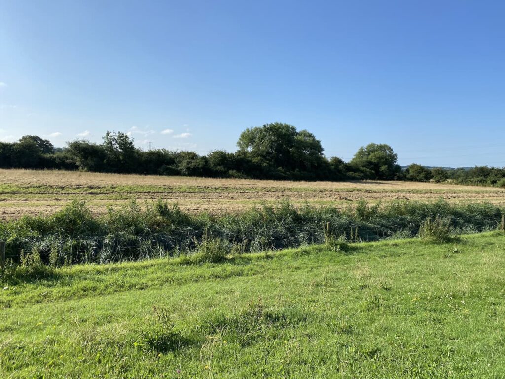
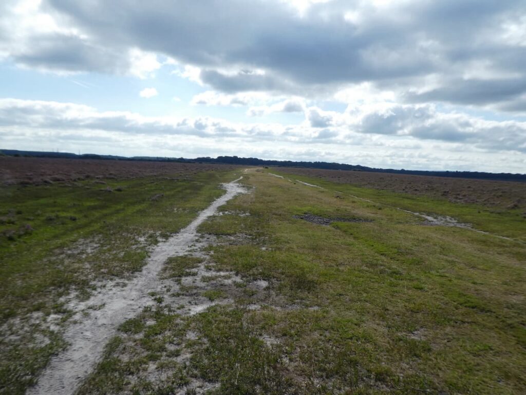
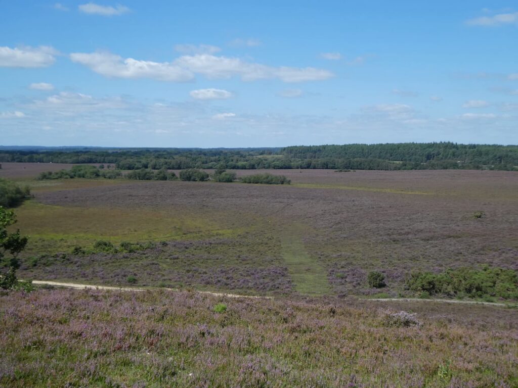
    We are now heading in an easterly direction along a broad ridge, marked on the map as Park Pale.  Apparently this bank was the edge of a medieval deer park which is recorded as far back as 1291, on top of the ridge stood a paling fence which enclosed deer in the Lyndhurst Old Park.  This is one of the benefits of following a map, you spot references that could easily be missed if just following a line on an electronic device.

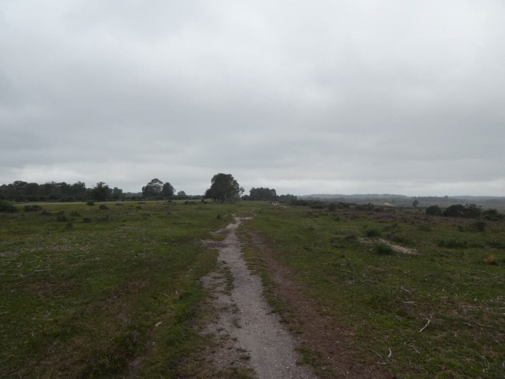
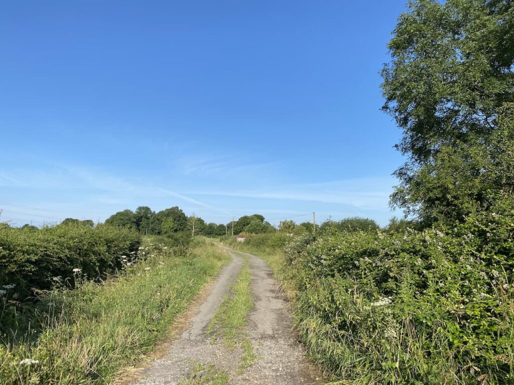
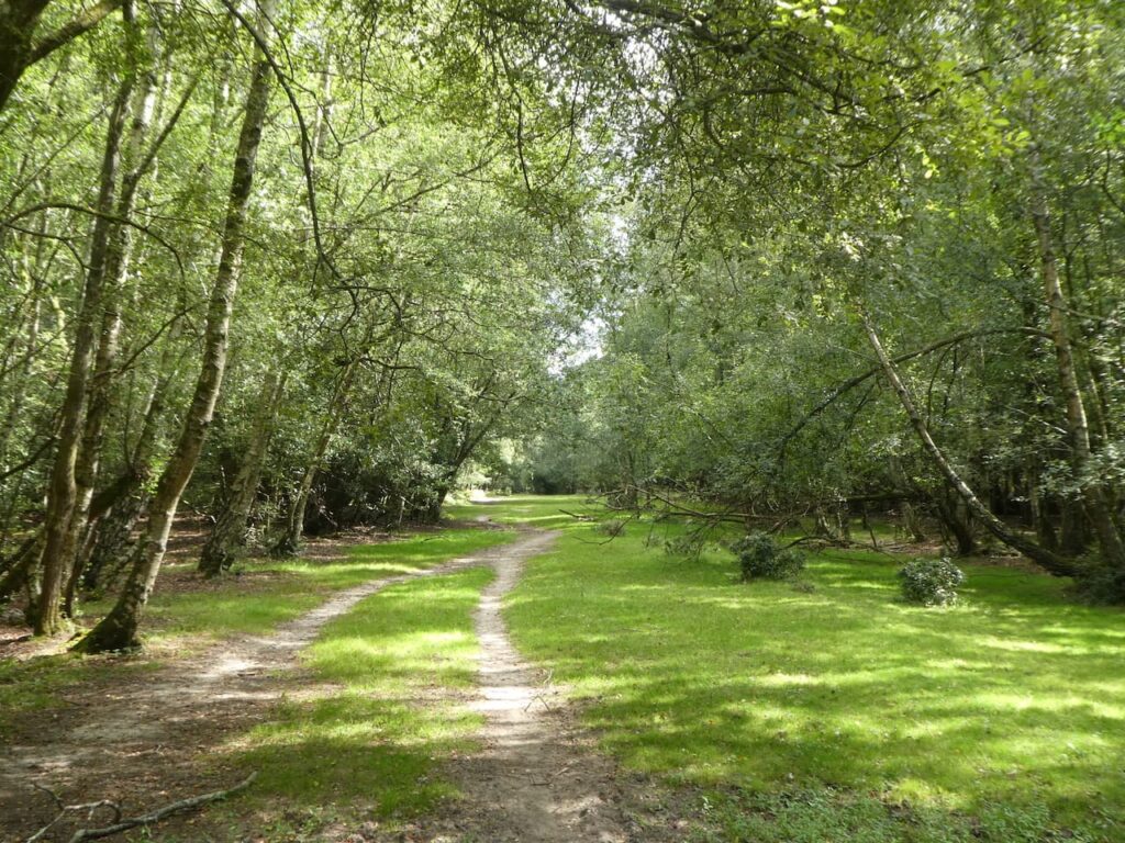
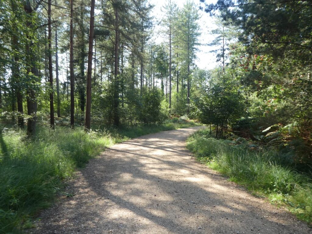
    As the path nears a minor road we keep to the left of it and then follow a path around Matley Wood.

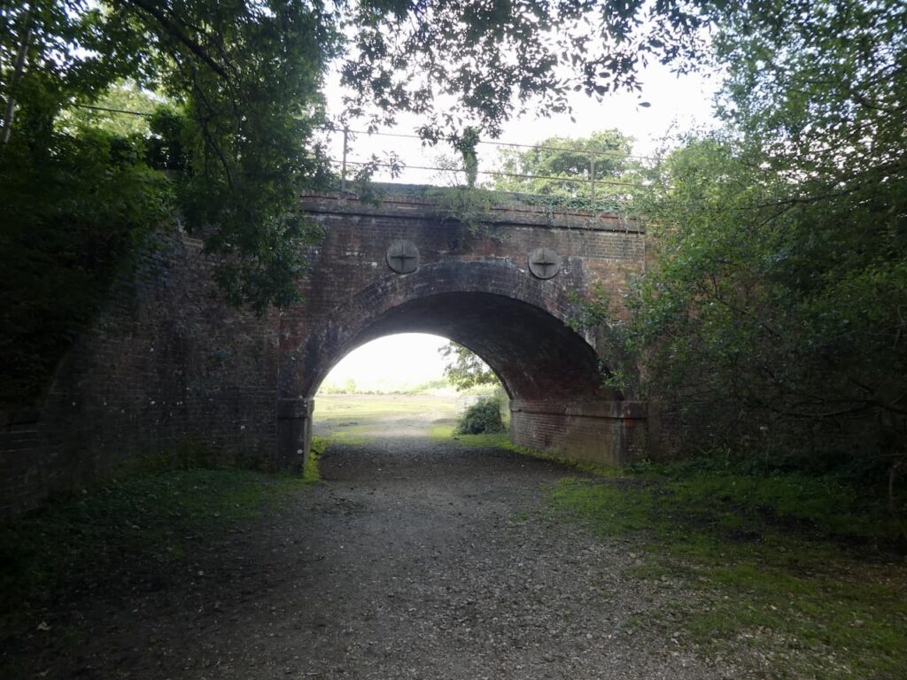
    After passing around the side of the woods we cross a footbridge on King’s Passage and soon turn left to cross open land towards the railway line at Fulliford Passage.

    We don’t go through the railway bridge but instead turn to the right and walk parallel to the line and then on reaching another bridge go under the railway line.

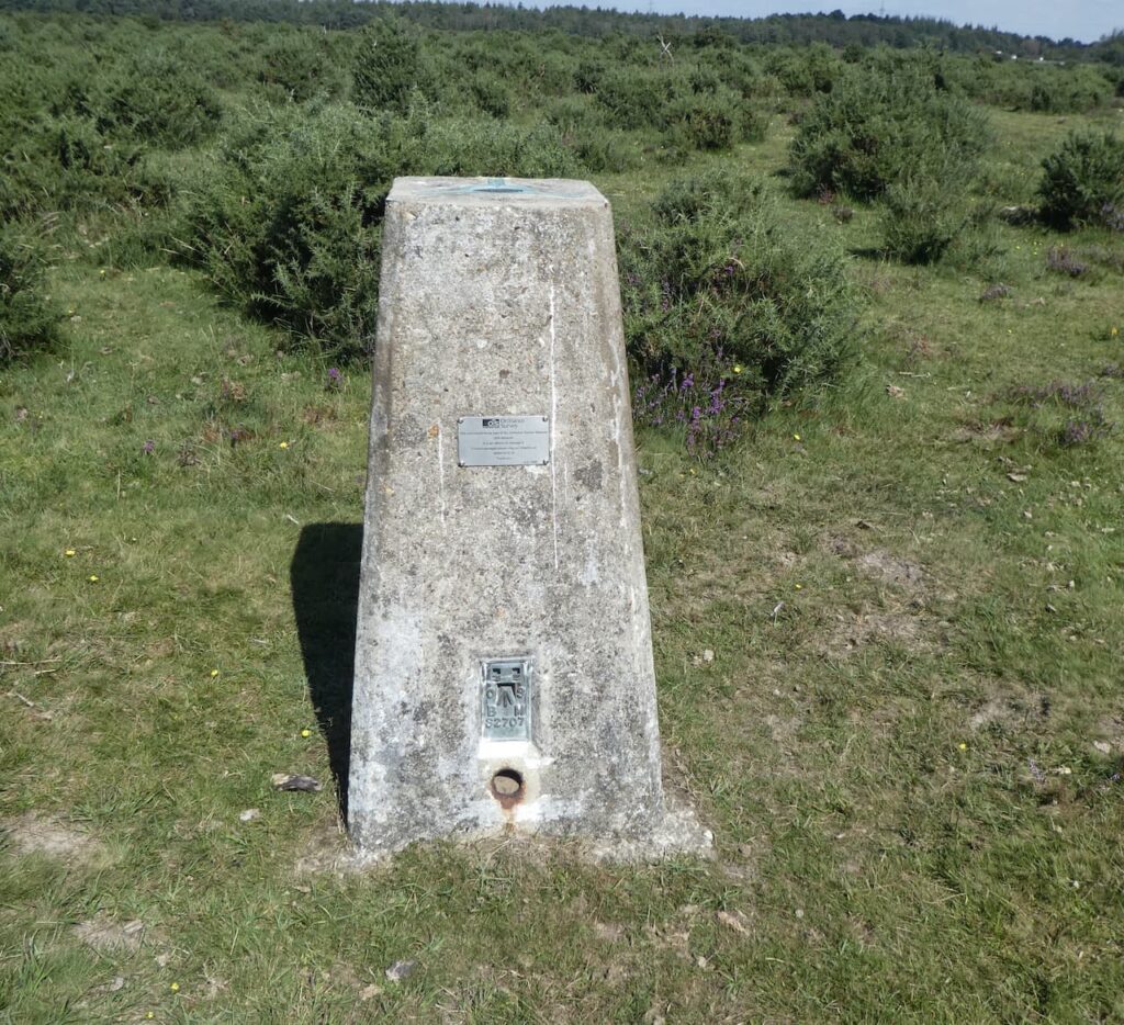
    We now head east towards Decoy Pond Farm and then at a junction of paths fork to the right and follow a broad path towards the OS trig pillar on Yew Tree Heath.

    The trig is close to the track so easily located.

    Soon after passing the trig we reach a driveway to a parking area and turn right to reach a road which we cross and then continue heading south to go through a copse at the edge of Ferny Crofts.

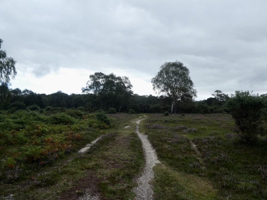
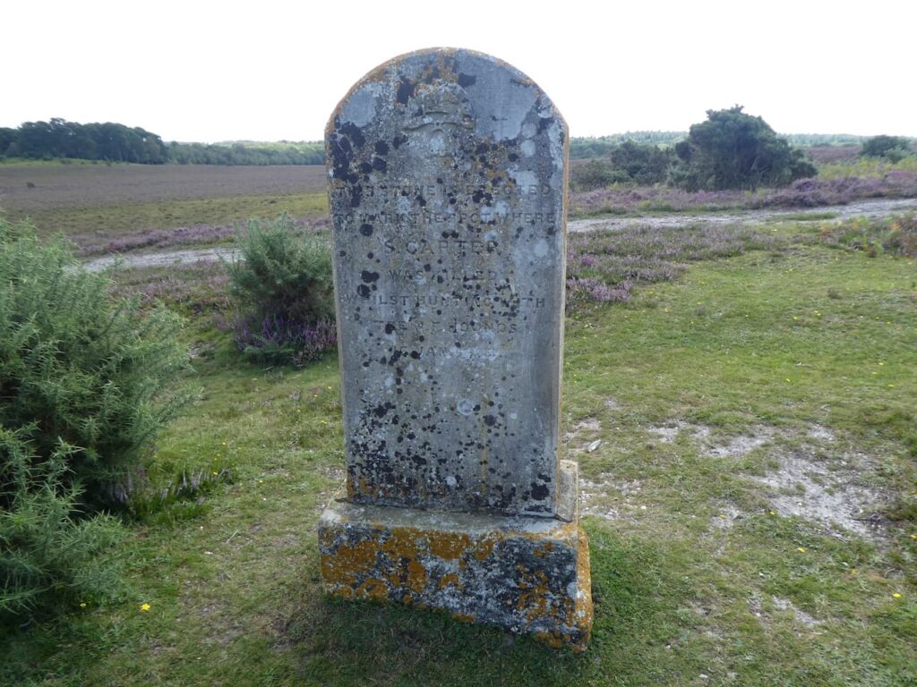
    At a boundary we turn left and follow a path through trees and out onto open heathland which is marked on the map as Gurnetfields Furzebrake.  Along this ridge the map shows the location of a monument so we divert from our route to explore.  “This stone is erected to mark the spot where S Carter was killed whilst hunting with the N F hounds 16 Jan 1883” This is historically interesting, but I have never been a supporter of hunting with hounds and welcome the fact it is no longer legal.

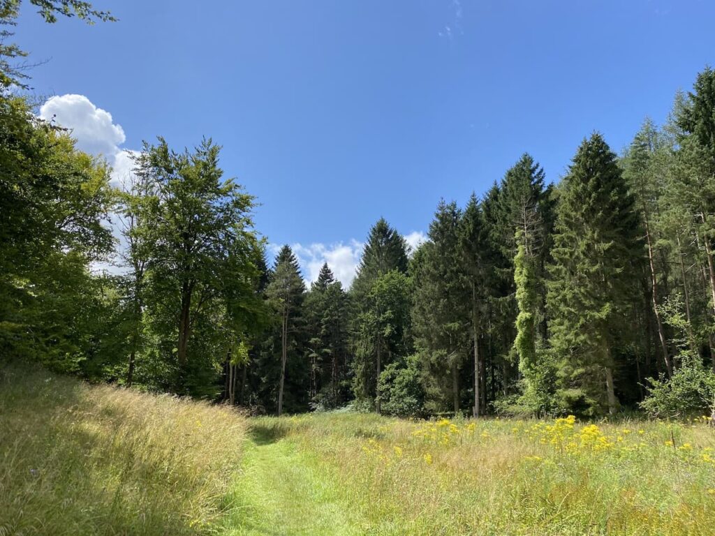
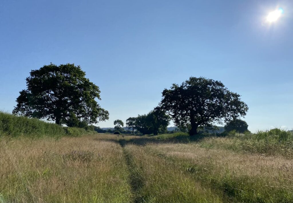
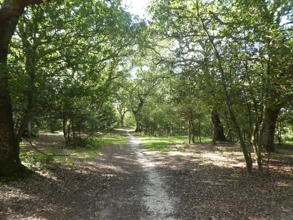
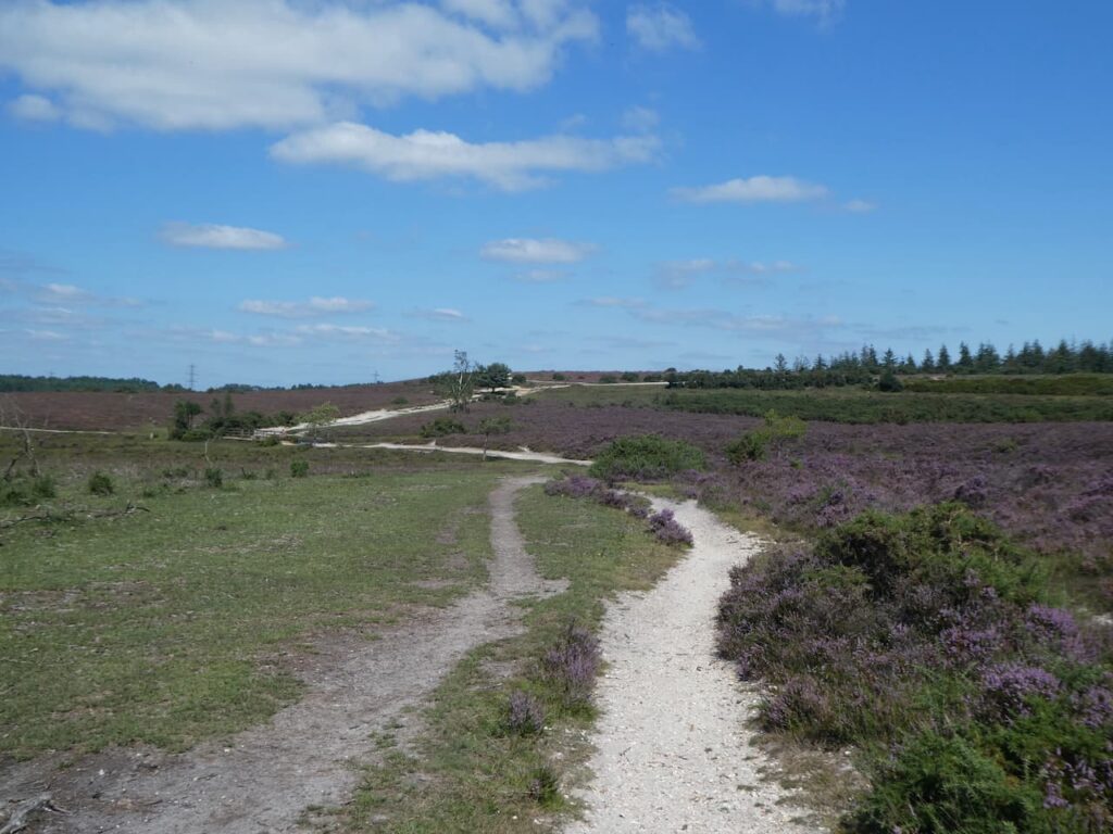
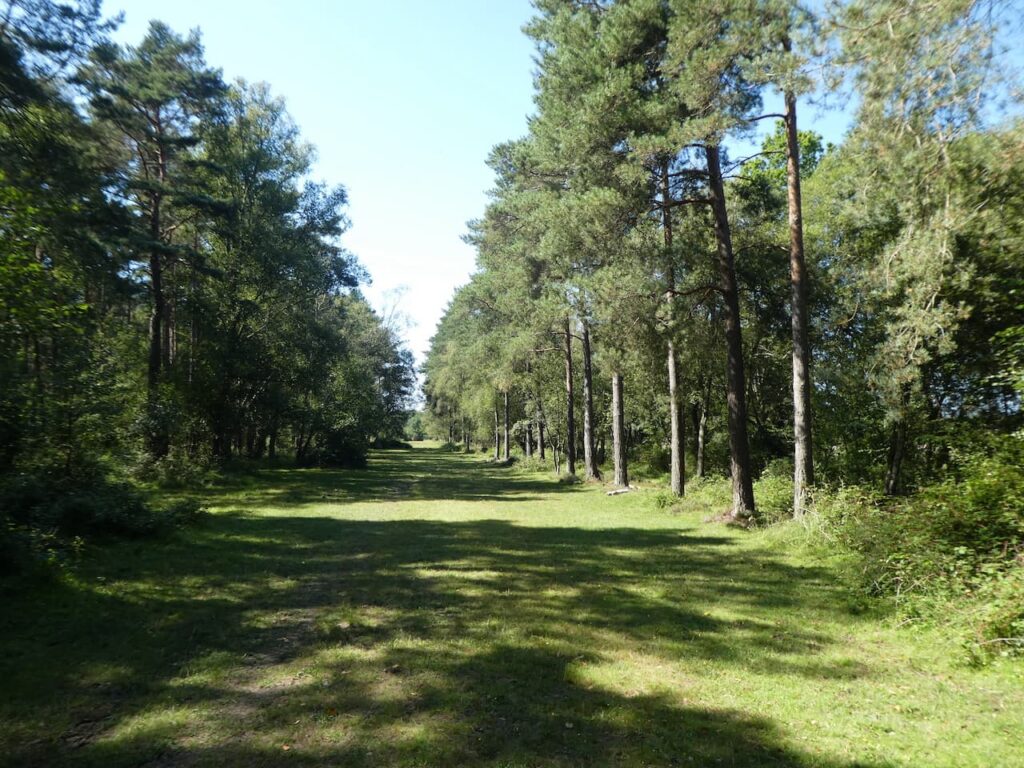
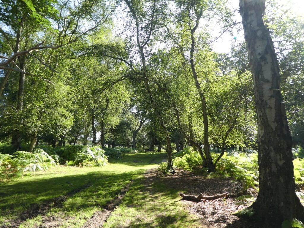
    Returning to the main path we continue along the ridge and follow the path as it veers south and then heads east again to cross North Lane.  Our route continues heading east along an attractive forest path.

    We stay with this track as it heads onto Beaulieu Heath going towards Beaulieu Road, just before reaching the road we head south to bag the Ordnance Survey Trig point at Hill Top.  This is a slightly odd name because it sits on a large plateau and is only 40 metres above sea level.  A more accurate name would be “Little Hill Top” trig pillar.  When I first bagged this trig last December it was my 238th.

    From the trig we retrace our steps rejoining the main track and following it for a couple of hundred metres before turning to the right and heading north towards Dibden Inclosure.

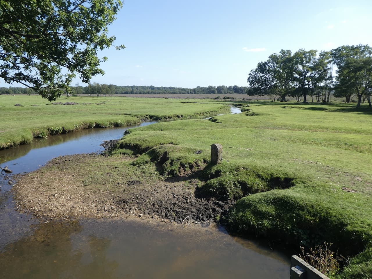
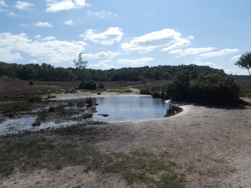
    The track heads down to cross a footbridge beside a pond and then at a junction of paths we turn right and head north.

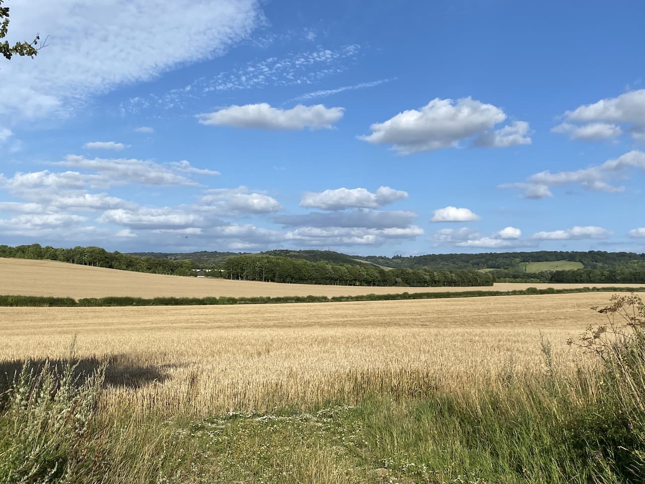
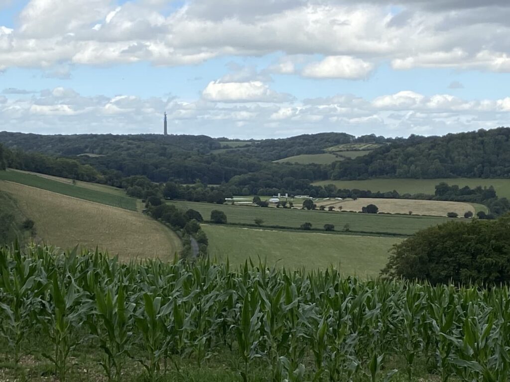
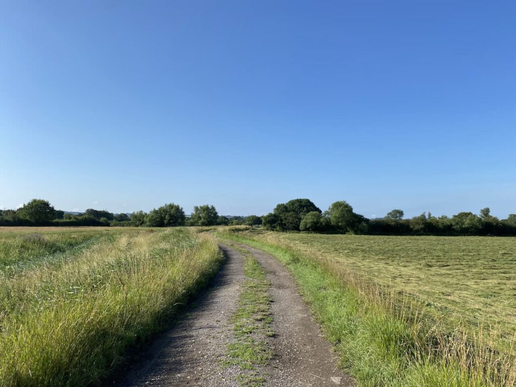
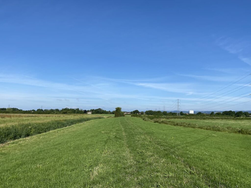
    We are now following a broad track with expansive views away to the west.  

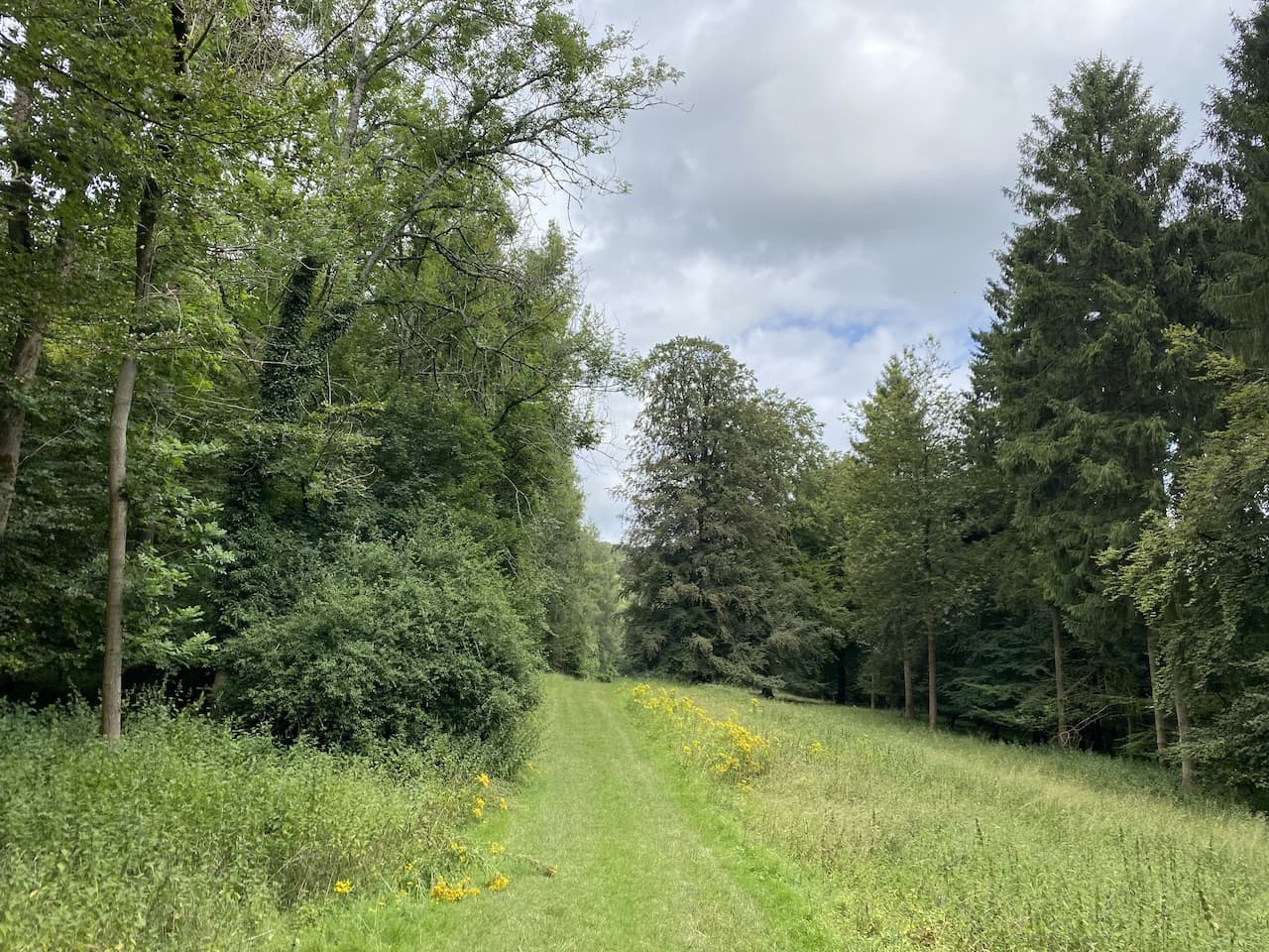
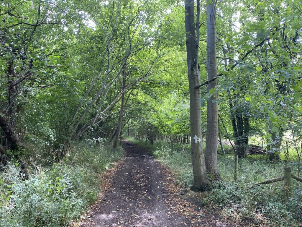
    The route skirts the edge of woodland and then drops to cross a minor road before heading into Marchwood Inclosure through Sleepy Hollow.  We now follow a path along a wide avenue of trees as we head to the northern edge of the inclosure.

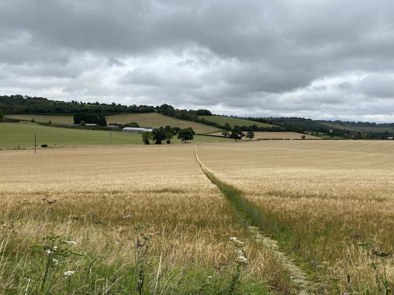
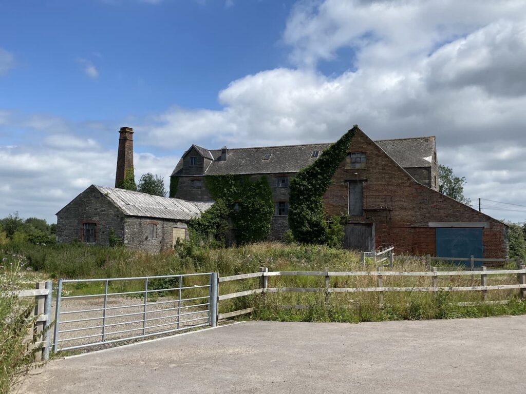
    We stay along the edge of the inclosure to reach a minor road which we cross and continue along the edge of the woods towards Foxhill Farm.  Today the ground is firm underfoot but when I walked this route in the winter it was very boggy.

    After passing Foxhiil Farm we stay close to the fence line until we reach a minor road near the edge of Longdown Inclosure.  Turning left and then very quickly right we follow a path around the northern edge of the inclosure, this leads to a car park where we turn left on a broad track besides the woods.

    At a junction of tracks, close to the railway line we turn right and head in a northwestern direction through Deerleap Inclosure.

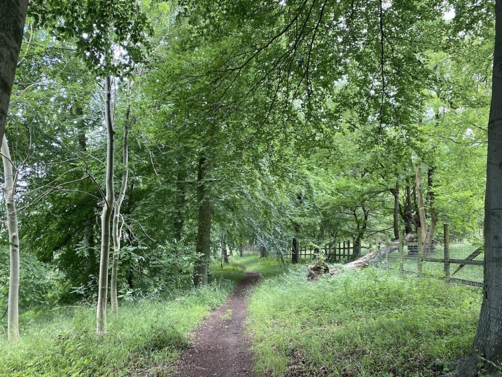
    At a fork in the track we go left and soon turn left again to cross the railway line and continue towards Ashurst Lodge.  On reaching the tarmac driveway to the Lodge we turn right and  walk beside the single track driveway towards the A35.  Shortly before reaching the road we turn left to follow a grassy path beside trees to head south towards Beaulieu River on Longwater Lawn.

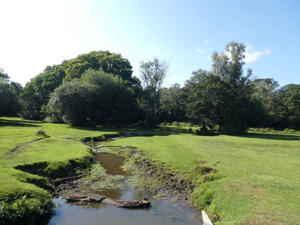
    We cross the river on a footbridge and then turn right and follow a clear path through Foxhill Moor.  This path enters trees and then turns to the left to head south towards Lyndhurst cemetery.

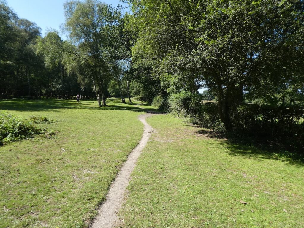
    We skirt around the cemetery and follow the driveway back to the car park.  Our nineteen mile route has been interesting and we have only used the map and compass.  Like many walks in the New Forest this one is difficult to describe because there are multiple options of paths which appear on the ground but are not shown on the map.  I therefore suggest that if you plan to follow this route you download the GPX file or make sure you mark up your paper map before setting off.

    To follow my walk, you will need Ordnance Survey Explorer Map OL22 – New Forest

    You can view this 19 mile walk on OS Maps and download the GPX File Here

    26th August 2021

    © Two Dogs and an Awning (2021)

    All information on this site is provided free of charge and in good faith and no liability is accepted in respect of damage, loss or injury which might result from it.  To the best of my knowledge the routes are entirely on public rights of way or within areas that are open for public access.
    Walking can be hazardous and is done entirely at your own risk.  It is your responsibility to check your route and navigate using a map and compass.

  • A Loop Around Studdridge Farm

    A Loop Around Studdridge Farm

    When staying at Cholsey Grange CL I don’t do many short walks, the exception being my regular couple of miles through the woods in the morning with Crosby.  However, I have a few things to do today and don’t have a lot of time for walking so have decided rather than rush a long walk I will take a steady stroll from the site.

    Leaving the caravan I go through the metal gate at the far end of the site and turn left and walk downhill into the woods and then in the valley in the woods I turn left and follow the clear path. 

    My route from here is very straightforward, I stay on the path at the bottom of the valley for just over two kilometres until I reach a stile besides a gate leading to a track besides an arable field. 

    Turning right I stay on the track as it skirts the field and passes fields with horses in.  On reaching a stile beside a gate I cross and then almost immediately go through a gate on the left to join the Chiltern Way.  This fenced path goes uphill and then through another gate to follow the hedge line around the edge of an arable field.

    I follow the path through a belt of trees and then through a gate to enter another field and continue besides the hedge.

    At a junction of paths besides a gate I follow the way-marker pointing left on the Chiltern Way and head diagonally across a field towards a clump of trees encircling a pond.

    After going through a gate I cross the driveway to Studdridge Farm and enter a field, within a few metres the Chiltern Way goes to the left through a gate and I follow it across a couple of fields towards Commonhill Wood.

    At a fork in the path I go to the right to stay with the Chiltern Way as it heads down through trees to the edge of a field.

    The footpath now runs along the edge of the field as it descends to a corner where the path divides.  I go left leaving the Chiltern Way to follow a footpath  steadily ascending through Hartmoor Wood.

    This path brings me back up to the farm buildings of Cholsey Grange where I return to the site via a gate into the caravan and motorhome storage area and head back down the driveway to the caravan where I get a good view of most of the four mile route I have just walked.

    You can view this 4 mile walk on OS Maps and download the GPX File Here

    To follow my walk you will need Ordnance Survey Explorer Map 171 – Chiltern Hills West

    16th August 2021

    © Two Dogs and an Awning (2021)

    All information on this site is provided free of charge and in good faith and no liability is accepted in respect of damage, loss or injury which might result from it.  To the best of my knowledge the routes are entirely on public rights of way or within areas that are open for public access.
    Walking can be hazardous and is done entirely at your own risk.  It is your responsibility to check your route and navigate using a map and compass.

  • Brightwell Baldwin and Britwell Salome

    Brightwell Baldwin and Britwell Salome

    Having spent over a week walking from Cholsey Grange CL today the car is moving for the first time since we arrived.  The starting point for our walk is the attractive Oxfordshire village of Ewelme which is about ten miles from Ibstone.

    We park in the car park besides the village playing field and then start our walk by heading into the village, soon reaching the fine building that is the primary school.  The school was originally founded in 1437 by the Duchess of Suffolk, Alice Chaucer (the granddaughter of Geoffrey Chaucer).  The medieval buildings are still used today as classrooms.

    We continue into the village and pass the village pond and turn right to pass the Village Shop, which is also a tea room.

    Walking up the road we reach the village pound, this is where stray animals would have been penned until their owners could be identified.  These days you rarely see stock wandering freely, but when I was a nipper it was a frequent occurrence in my home village.  I recall waking in the middle of the night to find a herd of heifers in the back garden and on another occasion it was a flock of sheep.

    Opposite the pound is a building which was once the stable of Nancy the Warhorse.  A notice board explains the story of how Nancy was Sergeant Thomas Champion Orpwood’s mount with the Queen’s Own Oxfordshire Hussars in France  during World War I.  After the war Orpwood and Nancy returned to England and unloaded at Culham Railway Station, near Abingdon. As they reached the edge of the village Orpwood stopped at the Shepherd’s Hut for a pint and the horse continued on her own back to her stable.

    At a junction we turn left into Chaucer Court and then follow the footpath as it goes left again to pass converted barns and then right past more converted barns.  We are now on a bridleway heading north towards the B4009 besides fields.

    We stay with this path to reach the B4009, ignoring paths to the left and right.  At the road we cross and take a minor road opposite signposted to Brightwell Baldwin and Cuxham.  In just over a hundred yards we take a track on the left, Rumbolds Lane, going north towards Rumbolds Farm.  This is a clear track, but because of the time of year it is slightly overgrown in parts.

    After passing the barns of Rumbolds Farm we continue on the track to reach a crossing of paths.  Here we turn right on a broad track between fields.

    The track leads through gates into fields and then joins a track heading downhill towards Brightwell Baldwin.  On reaching a junction with a track we turn right and then at a minor road turn left to pass a gate house and continue into the village to reach St Bartholomew’s church.  Parts of this church, including the stair turret, date to the 13th century.

    Opposite the church is the attractive Lord Nelson Inn, we rarely stop at a pub on our walk as I am not keen on drinking in the daytime.  So we decide to pass and pop back another time to take a look.

    We continue through this pretty village, apparently its name derives from the old English for bright spring and the Baldwin part relates to the name of the family who once owned the manor.

    We stay with the road through the village and pass the Old Rectory on the right and soon after reach a crossing of tracks.  Here we turn right onto Turner’s Green Lane waymarked to Britwell Salome.  We have now joined the route of the Shakespeare’s Way and follow this to reach Britwell Salome.

    Just before reaching the road we take a path on the left which goes through a gate besides a cattle grid, still on the route of the Shakespeare’s Way.  The way-markers lead us around the field to reach a gate onto a lane where we turn left and follow this to reach St Nicholas Church.  Originally built in the 12th and 13th century it underwent major renovations between 1865-67.

    The church is open so we pop inside.  It has a fine 13th century font with a 17th century cover and behind it a very grand organ for the size of the church.

    From the churchyard we turn left and follow the track to cross a cattle grid and continue along a path and then through a paddock to reach the B4009.  

    We cross with care and turn right for about twenty yards and then turn left to join a track.  This is still the Shakespeare’s Way; this long distance path stretches 146 miles from Stratford-on-Avon to the Globe theatre in London.  This section leads us to the Ridgeway path where we turn right.

    The route now follows the Ridgeway soon crossing a minor road and continuing to North Farm where the Ridgeway veers to the left. Here we stay on the track and soon go by the edge of Icknieldbank Plantation.  

    Reaching a minor road we continue straight along it for a few hundred yards and then turn right on the Chiltern Way heading uphill.  We pass an area of outdoor reared pigs and then an arable field.

    We continue with the Cotswold Way to reach a minor road where we turn left and walk the short distance back to our starting place.  

    You can view this 9.5 mile walk on OS Maps and download the GPX File Here

    To follow our walk you will need Ordnance Survey Outdoor Explorer 171 Chiltern Hills West

    14th August 2021

    © Two Dogs and an Awning (2021)

    All information on this site is provided free of charge and in good faith and no liability is accepted in respect of damage, loss or injury which might result from it.  To the best of my knowledge the routes are entirely on public rights of way or within areas that are open for public access.
    Walking can be hazardous and is done entirely at your own risk.  It is your responsibility to check your route and navigate using a map and compass.

  • Returning to Bottom Wood

    Returning to Bottom Wood

    After a week on my own in the caravan I have been joined by Lynnie.  She has decided to join me on a walk today as part of my planned route is through Bottom Wood.  I walked there a week ago and told Lynnie how stunning it was and she is keen to see for herself.

    We set off from Cholsey Grange by the farm track, heading downhill to reach the footpath leading into Penley Wood.  At the junction of paths we turn right and head towards the woods and then in the trees take a path on the left.

    We stay on the path at the bottom of the valley until we reach a stile beside a gate leading to a track alongside an arable field. 

    Turning right on the track we stay with it skirting the field and passing fields with horses in.  At a stile besides a gate we cross and continue on the track to go through the tunnel under the M40 and walk into Stokenchurch.  We continue across the green to pass the Kings Hotel and then join Church Street following this to the junction with Park Street where we turn right besides the Royal Oak pub.

    We have now joined the Chiltern Way and at a fork in the path we go right through a gate and stay with this long distance path as it heads across fields.

    Through another kissing gate we soon join a track where we go right and follow the way-markers with the footpath running beside a hedge.

    At a junction of paths we stay with the Chiltern Way heading diagonally across a field towards farm buildings in the distance.

    At a junction of paths we turn right and within a very short distance go left to cross a stile and continue towards the farm.  After crossing a farm track the path ascends steeply towards Andridge Farm.  Stopping for a breather we get a fine view back across the valley.

    After going through gates the path joins a track.  Here we leave the Chiltern Way and follow the driveway to reach Sprigs Holly Lane where we turn right and head steadily downhill into Radnage. It was our intention to visit the church in the village, but there is a funeral service going on so we’ll return another day.

    At a junction we turn left  and follow the road towards the church and then after a couple of hundred metres we go right on the Chiltern Way heading towards Bledlow Ridge.

    This path leads into Yoesden Nature reserve, this is a thirty-two acre site managed by the Berkshire, Buckinghamshire and Oxfordshire Wildlife Trust and is a combination of chalk downland and Beech woodland.  Before becoming a nature reserve the trees in the woodland would have been managed to produce timber for the furniture industry.

    This a cracking spot and there are some great views as we ascend the ridge.

    Keeping with the Chiltern Way we follow the path to reach the village of Bledlow Ridge where we turn right and walk along the pavement until we reach St Paul’s Church.

    In 1801 a church was built to the north of the village but this was replaced in 1834 on a site more central to the village.  However, that church was then replaced in 1868 by the current building.

    This church has the feeling of one that is being regularly used for community activities.  So many churches we visit feel like they are used for a service once a week and in between hardly anyone ventures in.  

    Leaving the church we continue through the village to pass Haw Lane on our left and then 50 metres further on take a track on the right.  We stay with this track as it descends steeply to reach Bottom Road where we turn left and then after 50 metres right to follow a path besides fields.

    We reach a minor road in an area of Radnage known as The City.  Although sparsely populated Radnage village spreads across a wide area.  Apparently this part of the village once formed part of the village known as Radnage Manor, this was owned by the Crown. King Charles I mortgaged the land to the City of London.

    On reaching Radnage Common Road we turn right and soon pass a playing field before continuing down the lane to reach Ashridge Farm.  At a junction of paths we keep left to follow a wide path towards Bottom Wood.

    The track leads through a gate into the woods.  Now we turn left and follow a broad track through this attractive area of woodland.  An information board explains the 36 acre Bottom Wood is owned by the Chiltern Society and was given to the charity in 1984 by nearby resident Cynthia Ercolani.  Later research suggests that Cynthia was the wife of Lucian Ercolani whose family ran the Ercol furniture business based in High Wycombe.

    Staying with the track we go through the bottom of the woods and pass a concrete slab covering a well.  Apparently this well is 100 feet deep and was once used to provide water to the nearby hamlets of Beacon’s Bottom and Radnage Common.

    The route through the bottom of these woods is an old packhorse trail.  After leaving the trees the route continues along a track to reach Ham Farm.

    After passing the farm we reach the A40 and cross to join a minor road opposite which is the Dashwood Roadhouse pub.  After 50 metres we leave the road and turn right onto a farm track heading towards Hillingdon Farm.

    Past the farm we continue to reach a crossing of paths, we go straight on through a belt of trees towards Barn Wood.

    After 300 metres we reach the edge of Barn Wood, at a junction of paths, we continue straight on through the woodland following a path towards Leygrove’s Wood.  On entering Leygrove’s Wood we carry straight on now on a broad track.

    On leaving the woods we go through a small clearing and then enter Pound Wood and stay with the track through the wood until we fork left onto a footpath that heads steadily uphill to reach a tunnel under the M40.

    On the far side of the tunnel we follow the track up to the B482 and turn right to join a pavement and pass a school.  We now cross the road and then a village green and follow the lane into Cadmore End. After passing the church we turn right on a footpath along a track heading out of the village.  

    At a junction of paths we turn left to stay on the track as it heads downhill to reach the edge of Hanger Wood.  As we enter the trees the path divides, we take the right fork.

    About two hundred metres further on we take a footpath on the right which heads through the trees to pass a dew pond on our left.

    The path now descends steeply to reach a gate into a field of pasture where we pass a redundant stile.

    As the path heads downhill there are fine views towards Fingest.

    After passing through two gates we reach a minor road, Chequers Lane, where we turn right and then very soon after turn left along a track with footpath way-markers.  We now follow this track through the bottom of the valley towards Twigside Bottom.

    After a mile and a half on this path we reach a junction of paths at a clearing and turn left to head uphill towards Cholsey Grange.

    This path brings us to the metal gate at the south side of the caravan site. 

    You can view this 14 mile walk on OS Maps and download the GPX File Here

    To follow my walk you will need Ordnance Survey Explorer Map 171 – Chiltern Hills West

    12th August 2021

    © Two Dogs and an Awning (2021)

    All information on this site is provided free of charge and in good faith and no liability is accepted in respect of damage, loss or injury which might result from it.  To the best of my knowledge the routes are entirely on public rights of way or within areas that are open for public access.
    Walking can be hazardous and is done entirely at your own risk.  It is your responsibility to check your route and navigate using a map and compass.

  • Bottom Wood from Ibstone

    Bottom Wood from Ibstone

    Most of my walking from Cholsey Grange CL has been to the west of the M40, occasionally I have wandered to the other side of the motorway but I have not really explored that area in detail.  So my walk today will take me into new territory.

    I set off leaving Cholsey Grange by the farm track heading downhill to the footpath leading into Penley Wood.

    In the woods I turn left and follow the footpath along the bottom of the valley for 200 metres and then at a junction of paths turn right to head uphill on a steep path.  This is the sort of hill that makes the calf muscles burn and lungs hurt, but I am determined to reach the top without stopping.  The path meets a kissing gate leading into a field.

    The route goes directly across the field to the far side and then turns right along the hedge line before going through a gate.  The way-markers then direct me to a fenced path leading to steps up to a minor road where I turn left and cross the M40.  On the far side of the motorway I turn right down a tarmac driveway and after 100 metres turn left onto a way-marked footpath into East Wood.

    The footpath through these woods is well marked as it initially heads to the east and then turns towards the north.

    At a junction of rides the path goes to the right and heads east towards the edge of the woodland.  At a fork in the path I go to the left and stay close to the edge of the woods to reach the A40 which I cross with care and join a footpath on the far side which heads downhill towards a copse.

    The path through the trees leads to a minor lane where I turn left and walk for 300 metres to reach a junction with a track.  Here I turn right towards Ashridge Farm.

    At a junction of tracks close to Ashridge Farm I turn right to take the track leading towards Bottom Wood.

    The track leads to a gate into the woods.  Now I turn left and follow a broad track through this attractive area of woodland.  An information board explains the 36 acre Bottom Wood is owned by the Chiltern Society and was given to the charity in 1984 by nearby resident Cynthia Ercolani.  Later research suggest that Cynthia was the wife of Lucian Ercolani whose family ran the Ercol furniture business based in High Wycombe.

    Staying with the track I go through the bottom of the woods and reach a concrete slab which is covering a well.  Apparently this well is 100 feet deep and was once used to provide water to the nearby hamlets of Beacon’s Bottom and Radnage Common.

    Apparently during World War II much of the woodland was felled to provide wood for Bryant and May to produce matches.  So the majority of the trees here were planted after 1940.

    The route through the bottom of these woods is an old packhorse trail which linked Piddington to Beacon’s Bottom.  After leaving the trees the route continues along a track to reach Ham Farm.

    After passing the farm I reach the A40 and cross to join a minor road opposite which is besides the Dashwood Roadhouse pub.

    After 50 metres I leave the road and turn right onto a farm track heading towards Hillingdon Farm.

    After passing the farm I continue to reach a crossing of paths, here I continue straight on through a belt of trees towards Barn Wood.

    After 300 metres I reach the edge of Barn Wood at a junction of paths, here I continue straight on through the woodland following a path towards Leygrove’s Wood.

    On entering Leygrove’s Wood I carry straight on now on a broad track.

    On leaving the woods I go through a small clearing and then enter the edge of Pound Wood.

    I stay with the track into Pound Wood and then fork left onto a footpath that heads steadily uphill to reach a tunnel under the M40.

    On the far side of the tunnel I follow the track up to the B482 and turn right to join a pavement and pass a school.  I now cross the road and then a village green and follow the lane into Cadmore End. After passing the church I turn right on a footpath along a track heading out of the village.  

    At a junction of paths I turn left to stay on the track as it heads downhill to reach the edge of Hanger Wood.  Just as I enter the trees the path divides, I take the right fork.

    About two hundred metres further on I take a footpath on the right which heads through the trees before descending to reach a field of pasture.

    The path heads along the edge of the field steeply downhill to a minor road, Chequers Lane, where I turn right and then very soon after turn left along a track with footpath way-markers.  I now follow this track through the bottom of the valley towards Twigside Bottom.

    After a mile and a half on this path I reach a junction of paths at a clearing and turn left to head uphill towards Cholsey Grange.

    This path brings me to the metal gate at the south side of the caravan site.  This has been a very interesting 10.5 mile walk in some cracking bits of woodland.  I will have to do another walk to Bottom Wood with Lynnie when she joins me next week.

    You can view this 10.5 mile walk on OS Maps and download the GPX File Here

    To follow my walk you will need Ordnance Survey Explorer Map 171 – Chiltern Hills West

    7th August 2021

    © Two Dogs and an Awning (2021)

    All information on this site is provided free of charge and in good faith and no liability is accepted in respect of damage, loss or injury which might result from it.  To the best of my knowledge the routes are entirely on public rights of way or within areas that are open for public access.
    Walking can be hazardous and is done entirely at your own risk.  It is your responsibility to check your route and navigate using a map and compass.

  • Another Stay At Cholsey Grange

    Another Stay At Cholsey Grange

    When we sit down to plan our caravan travel for a year we like to ensure we visit some new sites and explore different areas.  However, there are two sites that always feature in our travel plans: Brigholme Farm in Giggleswick and Cholsey Grange.  It is August so that means it is time for our annual trip to Cholsey Grange CL.

    As usual we are here for a couple of weeks, but I am on my own for the first week and then Lynnie is joining me for the second, so on arrival I set up solo and then wander out for a few miles.

    Today I am heading off with no set route planned.  I like walking in this way, when I reach a junction of paths I make a choice .  I often just choose a path because I have never walked it.  But over the years I have walked most of the paths around this part of the Chilterns.

    I leave through the gate at the far end of the caravan site.  Joining the footpath I turn left and walk downhill into the bottom of the valley and then turn right to walk through Twigside Bottom.  

    I follow the footpath through the bottom of the valley which is clearly marked with white arrows on trees.

    Then just before reaching a road at Gravesend I turn right on a footpath to head uphill.  Within fifty yards at a fork in the path I go left to follow the path through the bottom of Mill Hanging Wood.  At a junction of paths I continue straight on to reach a minor road.

    After crossing the road I follow a footpath which leads to a kissing gate onto the downland of Turville Hill. 

    Soon to my right I can see Cobstone Mill, built around 1816 the mill was used for grinding cereal until 1873.  It then fell into disrepair before being cosmetically restored in 1967 for the filming of Chitty Chitty Bang Bang.  Apparently in 1971 the actress Hayley Mills and her husband Ray Boulting purchased it and restored it.  The mill is a popular venue for filming and has featured in a number of films and TV programmes.

    The path across the downs leads to a kissing gate which I go through and then immediately turn left through a metal gate and walk into Turville where I turn right and follow the road out of the village.    I soon reach a belt of beech trees on the right and follow a well-used footpath to pass Turville Valley Farm and then cross a minor road.  When I reach a fork in the path I go left.

    The footpath now ascends besides Holloway Lane and then as it starts to level out the route continues along a minor road to reach Northend where I turn right on a track close to the village pond.

    This track leads to a gate into Wormsely Park.  This estate was acquired by Paul Getty in 1985 and has remained in his family ever since.   

    From this track there are fine views over parts of the estate,  in 1992 Paul Getty constructed a cricket ground on the estate which has attracted celebrity matches and has been used by overseas touring teams.  In 2013 it hosted a women’s test match between England and Australia.

    The track soon leads downhill to an estate road which I cross and continue along a track.

    At a crossing of tracks I ignore the option of turning right to return to Ibstone on the Chiltern Way, instead I keep with the track to reach a junction of paths near a clearing and turn right heading uphill.

    This is a long steady ascent through woodland but eventually the path levels out and reaches a gate which I go through and turn right to reach Ibstone Common.  I now cross the common, passing the large standing stone which was erected to mark the Millennium year in 2000.

    I continue across the common and then the village cricket pitch to reach the entrance driveway to Cholsey Grange.

    You can view this 8 mile walk on OS Maps and download the GPX File Here

    To follow my walk you will need Ordnance Survey Explorer Map 171 – Chiltern Hills West

    6th August 2021

    © Two Dogs and an Awning (2021)

    All information on this site is provided free of charge and in good faith and no liability is accepted in respect of damage, loss or injury which might result from it.  To the best of my knowledge the routes are entirely on public rights of way or within areas that are open for public access.
    Walking can be hazardous and is done entirely at your own risk.  It is your responsibility to check your route and navigate using a map and compass.

  • Jenner and Jester

    Jenner and Jester

    Our stay at Golden Valley House CL has almost come to an end, we head home tomorrow. So today is our last chance to explore some more of the local area.  We have decided to return to Sharpness and do a circular walk visiting the historic town of Berkeley.

    Our starting point is once again the Canal and River Trust free car park at Sharpness Viewpoint (GL13 9UF), located besides the entrance to Sharpness Docks.  Before starting our walk we stop for lunch on one of the benches at the viewpoint overlooking the River Severn.

    Our walk starts along the Severn Way heading south with the river on our right hand side.  From the viewpoint we pass a row of cottages and then reach a stile into a field where we walk along the flood defence embankment.

    We continue along the flood defence to reach the navigation beacon on Panthurst Farm.  A navigation post was established here in 1894 to guide vessels through the narrow channel that had been blasted through Bull Rock. In 1912 a lit beacon was installed and was replaced in 1974.  The current beacon was installed in 1987 with the Blue LED light being added in April 2020.

    Staying with the flood embankment we cross a stile and continue beside the river with Berkeley Power station in the distance.  Construction of this power station started in 1956 and it was commissioned in 1962. It created power for 27 years before being decommissioned in 1987.   The process of tidying up the site continues and it will be around 2070 before the radioactivity levels fall low enough for it to be demolished.

    On reaching Berkeley Pill the path turns inland besides the side of the inlet.  Across the other side of the inlet is another navigation light.  This one was installed in 1906 and originally ran on gas.  In 1951 the gas was replaced by batteries and then in 1964 it was supplied by electricity from the conveniently located power station next door.  

    The path goes through a gate and then enters a meadow which we cross heading towards a small industrial estate.

    After going through a kissing gate we turn right and follow the path as it passes through shrubland besides the stream.  At a road we turn right and cross a bridge over the Berkeley Pill.  We stay with this minor road for a few hundred yards to reach a junction where we turn left into Hamfield Lane and follow this past Floodgates Farm and then reach the disused Castle Grain Mill which looks ripe for redevelopment.  

    After passing the mill the lane leads into Ham and reaches the village besides the Salutation Inn, this pub is a frequent winner of Campaign for Real Ale awards and has its own small brewery attached.  It is the sort of pub that I like to visit, but sadly it is currently running restricted opening times due to Covid restrictions.

    We turn right to pass the pub and then fork left besides the village green which retains its water pump.  Later I discover there is a website dedicated to village pumps. It contains very little detail about this one apart from it being made by Llewellins & James, of Bristol.

    Leaving the green we continue on a lane to pass Brownsmill Farm and then at a junction of paths turn left to follow a route besides a stream.  In front of us we soon see Berkeley Castle.  This is one of the Marches Castles, built to defend the border with Wales and as such was at the centre of many battles.  It has been in the ownership of the Berkeley family since it was built in the 11th century and the castle’s website talks about the strong association the family had with the monarchy.  It was so close that Edward II was murdered at the castle in 1326 whilst being held by Thomas de Berkeley.

    The first castle was built in 1067 as a motte and bailey then over time was gradually developed starting with the shell keep being built between 1153 and 1156.  In the 14th century most of the rest of the castle was built.

    We stay besides the stream and then reach a tree lined path which heads north towards Berkeley.

    Th path soon crosses a stile and then joins a pavement besides a road to cross a bridge and head into Berkeley.  Heading into Berkeley we pass the house built by Edward Jenner and his brother Stephen Jenner.  Edward Jenner gained fame as the person that was at the forefront of immunology and famously discovered a vaccination for smallpox.

    We turn right up a lane with a way marker to the Jenner Museum and follow this uphill towards the churchyard to pass the house that Edward Jenner left to James Phipps.  As an eight year old Phipps was the first person that Jenner inoculated against smallpox.  Jenner observed that dairy workers who had caught Cowpox appeared immune from Smallpox.  He therefore inoculated Phipps with Cowpox and then eight weeks later gave him a dose of smallpox without any adverse reaction.  Jenner went on to give Phipps more than twenty doses of smallpox.  No wonder he left him a cottage!

    A bit further on we turn right into the churchyard and take a while reading the information board and plan of the graves.  There are a number of interesting graves here not least the tomb of Dicky Pearce. He is said to have been the last court jester.  Born in 1665 he was originally the Earl of Suffolk’s fool before joining the Berkeley household.  As a jester he would have been an accomplished musician and would also have performed sleight of hand tricks and acrobatics.  Sadly his acrobatic skills let him down while performing in the minstrels gallery at Berkley Castle and he fell to his death.  

    He was held in such high regard by Lord Berkeley that he was buried in an elaborate tomb in the churchyard with the inscription “Here lies the Earl of Suffolks Fool, Men called him Dicky Pearce, his folly served to make folks laugh when wit and mirth were scarce.  Poor Dick Alas! Is dead and gone, what signifies to cry! Dickys enough are still behind to laugh at by and by.”

    There is a chap cutting the grass and he points us towards the Clock Makers Grave.  This is the chest tomb of Thomas Pearce (also spelt as Pierce on the grave) who died in 1665, he was a clockmaker and five times Mayor of Berkeley.  The inscription on the tomb reads “Here lyeth Thomas Peirce, whom no man taught / Yet he in Iron Brasse and Silver wrought / He Jacks and Clocks, and watches (with Art) made / And mended too when others worke did fade / of Berkeley five tymes Mayor this Artist was / And Yet this Mayor this Artist was but Grasse / when his owne watch was Downe on the last Day / He that made watches, had not made A Key / To winde it Up, but Uselesse it must lie / Untill he Rise AGaine no more to die”.

    This is a fascinating graveyard with numerous chest tombs.  We could easily spend more time wandering around but we still have a few miles to cover so take a quick look at the church of St Mary.  Most of this church was built between 1225 and 1250.

    Unusually the tower for the church stands separately to the main building, this was built in 1753.

    From the churchyard we continue along the lane towards the town passing The Chantry, this was Edward Jenner’s House from 1785 until his death in 1823.  It was from here that he started his vaccinations for smallpox. Over the years he also had homes in London and Cheltenham, but this remained his main residence and is now the home of the Jenner Museum.

    We stay with Church Lane and on reaching the High Street turn right.  To our right is the impressive looking Berkeley Arms Hotel a former 16th century coaching inn.

    After a wander around we leave the centre of Berkeley on Marybrook Street which soon passes Almshouses and continues past the town cemetery.  Passing the last house on the left, just before reaching a roundabout, we take a footpath on the left which initially follows a track besides houses and then continues into fields.  At a junction of paths we go right and join Saniger Lane.

    We stay with Saniger Lane to the B4066 which we cross to join a track opposite, this heads steadily downhill between the road and railway line.  After passing cottages we reach the B4066 and continue besides this initially on the broad verge and then a pavement to pass industrial units.  The road leads to a mini roundabout at the entrance to the docks.  Here we turn left into Severn Road and follow this the short distance back to our starting point at the Sharpness Viewpoint car park.

    You can view this 7.5 mile walk on OS Maps and download the GPX File Here

    To follow our walk you will need Ordnance Survey Outdoor Explorer OL167 Thornbury, Dursley & Yate

    15th July 2021

    © Two Dogs and an Awning (2021)

    All information on this site is provided free of charge and in good faith and no liability is accepted in respect of damage, loss or injury which might result from it.  To the best of my knowledge the routes are entirely on public rights of way or within areas that are open for public access.
    Walking can be hazardous and is done entirely at your own risk.  It is your responsibility to check your route and navigate using a map and compass.

  • Jamming About from Golden Valley House CL

    Jamming About from Golden Valley House CL

    After my early morning walk Lynnie and I discuss our plans for the day.  Later we are heading to the Anchor Inn in Oldbury on Severn for our evening meal so decide a short walk will be in order.  My definition of a short walk is around six miles, whereas Lynnie would say around three.

    Leaving the site we turn left into the minor road Stoneyard Lane, and then at a junction in a hundred yards turn left into Shepperdine Road, signposted to Shepperdine and the River.  We stay with Shepperdine Road until it turns to the right just after passing Knight’s Farm, the road bends to the right and we carry straight on.  We are now on a lane heading towards Jobsgreen Farm.

    Nearing the farmhouse we take a bridleway on the left and follow this to reach a gate.  

    We don’t go through the gate but turn left onto a bridleway running along the perimeter of Oldbury Nuclear Power Station.

    On reaching a road we turn right and then almost immediately left to take a path that follows the high fence line of the Power Station.

    This path leads to the River Severn besides Oldbury Power Station.  This power station was commissioned in 1967 and the nuclear reactors created enough electricity each day to serve a city twice the size of Bristol.  It has two nuclear reactors, the second was commissioned in 1968.  The power station was decommissioned in 2012 and is now going through the decommissioning process.  The defueling process will continue until 2027 and apparently the demolition of the reactor buildings and clearance of the site is scheduled for 2096 to 2101. 

    We now turn left to join the Severn Way and follow this footpath besides the River Severn. 

    In front of us are the two road bridges crossing the River Severn.  The closest suspension bridge was opened in 1966 by Queen Elizabeth II, this originally carried the M4 linking England to Wales.  The second, newer bridge, The Prince of Wales Bridge, opened in 1996 and now carries the rerouted M4, whilst the old bridge has been designated as the M48.

    It is pleasant walking along the flood defence embankment and across the river we can see the Forest of Dean.

    We stay with the path to Oldbury Pill with the Thornbury Sailing Club tucked into the inlet. 

    The path now goes inland and then besides the driveway to the Sailing Club and at a gate we go right to cross through a gates and over the pill to a second gate and now head down the other side of the pill still on the Severn Way heading towards the river.

    We now follow the grass flood defence embankment heading towards the Severn Bridge. 

    After passing through a gate we continue along the embankment to reach a gate at Littleton Pill.  Here we turn left and walk down off the embankment to another gate which leads to a lane besides Whale Wharf Business Centre.  We follow the road to Littleton-upon-Severn at a junction in the village we follow the lane towards Kingston and Thornbury and keep heading in the same direction at the next junction.  

    We pass Lodge Farm and then Stock Farm before heading up Stock Hill.  Where the road bends to the right we turn left into Stock Lane and follow this broad grassy track heading north.

    When we reach a minor road we cross and stay with Stock Lane which continues to reach a minor road where we turn right to pass the village school and head downhill into Oldbury on Severn.  In the village we pass the Anchor Inn and community shop and then on reaching the War Memorial continue straight on into Camp Road.

    We stay with this lane as it leads through houses and then becomes a grass track.

    There are a number of footpaths off this track which we ignore, then at a fork we go right and continue on to reach a minor road where we turn right and then at the crossroads turn left into The Naite and walk the short distance back to Golden Valley House CL.

    Our walk has covered nine and a half miles, which is further than I originally planned but it has been pleasant afternoon and we still have plenty of time before we head off to walk to the Anchor Inn for our evening meal.

    You can view this 9.5 mile walk on OS Maps and download the GPX File Here

    To follow our walk you will need Ordnance Survey Outdoor Explorer OL167 Thornbury, Dursley & Yate

    14th July 2021

    © Two Dogs and an Awning (2021)

    All information on this site is provided free of charge and in good faith and no liability is accepted in respect of damage, loss or injury which might result from it.  To the best of my knowledge the routes are entirely on public rights of way or within areas that are open for public access.
    Walking can be hazardous and is done entirely at your own risk.  It is your responsibility to check your route and navigate using a map and compass.

  • Rhines and Ditches

    Rhines and Ditches

    We arrived at Golden Valley House CL on Friday to a very warm welcome from Vic and Kate.  They have great knowledge of the area and were able to advise on some local walks.  They suggested a walk from the site covering a couple of miles around local fields.

    The weather so far this week has been showery and we have been doing long walks during the day so my morning walks have been brief strolls up the local lane.  Today a sunny day is forecast  and we have an eight mile walk planned for after lunch, so as it is a cracking morning I decide to do a longer early morning circuit.

    I turn left along the lane from the site and continue to reach a bridleway on the right, into Stoneyard Lane.

    I stay with the lane ignoring footpaths to the left and right to reach a gate on the left with a way marker on the post.  From the gate I head across a meadow.

    The path goes through another gate and then goes to the right before bending to the left on a farm track. The path continues to the right along a track on the ridge besides Rockhampton Rhine drainage ditch.  This is one of the many ditches that keep this low lying area of land drained and suitable for agriculture and habitation.

    At a footpath on the right I go through a kissing gate and follow the path along a grass bank, still with the drainage ditch to my left.

    I now stay on the grass bank as the footpath navigates a series of kissing gates.  It is a beautiful morning and I have not seen anyone.  The path leads to two sets of gates and a minor road.  Opposite me is the office of the Lower Severn Internal Drainage Board.  This is the public body responsible for ensuring the drainage and biodiversity of the flood plains of the River Severn.

    I turn right along the lane to reach a crossroads where I turn right into the Naite and walk the few hundred yards back to the caravan.  My walk has covered just under 3 miles and has been a cracking start to what looks like a gloriously sunny day.

    You can view this 3 mile walk on OS Maps and download the GPX File Here

    To follow our walk you will need Ordnance Survey Outdoor Explorer Map

    14th July 2021

    © Two Dogs and an Awning (2021)

    ll information on this site is provided free of charge and in good faith and no liability is accepted in respect of damage, loss or injury which might result from it.  To the best of my knowledge the routes are entirely on public rights of way or within areas that are open for public access.
    Walking can be hazardous and is done entirely at your own risk.  It is your responsibility to check your route and navigate using a map and compass.

  • The Severn Way around Arlingham

    The Severn Way around Arlingham

    A few days ago one of my Twitter buddies Olly recommended that whilst in this area we walk the loop of the Severn Way from Frampton on Severn as it took an interesting circuit around a large bend in the river that goes around Arlingham.  I follow Olly’s walking blog and know if he recommends it it must be a good walk.

    Our starting point is the Canal and River Trust car park besides the Gloucester and Sharpness Canal which is besides the Sandfield Swing Bridge (GL2 7LA).  The pay and display car park also serves the Cotswold Canal Trust Visitor Centre and the Stables Cafe.

    Leaving the car park we start our walk by walking back past the Stable Cafe and Swing Bridge.

    The Gloucester and Sharpness Canal opened in 1827 to enable vessels to avoid dangerous channels in the River Severn where it loops around Arlingham.  It starts at Sharpness Dock and covers 16 miles to Gloucester Dock.  Apparently when it opened it was the widest and deepest canal in the world.  

    We soon reach the Shipton Mill on the far side of the canal.  This mill was originally built by Cadbury’s in 1917.  The location was chosen so cocoa beans imported into Bristol Docks could be transferred to barges and carried up the canal to the mill, there they were mixed with milk from surrounding farms to create chocolate crumb.  This was then transported by canal to Gloucester and then continued on the canal network to the Bournville factory in Birmingham.  Cadbury’s closed their mill here in 1982 and it is now a flour mill.

    We continue towards a road where Fretherne Bridge crosses the canal. Or at his moment does not cross because a barge is about to go through the swing bridge.

    At the road we turn right and then almost immediately as the road bends to the right we continue straight on a lane towards Fretherne and Arlingham.  In about 100 yards, just after passing a bungalow we take a footpath on the left which is way marked for the Severn Way.

    At the end of the lane the footpath goes to the right and follows a fence line besides trees.  It is the time of year when paths are overgrown and we have to contend with nettles and brambles.  I assume we are unlucky because this must be a well walked route as it forms part of the Severn Way.

    After a couple of hundred yards we reach a gate in front of us, here we turn to the left to enter a field, thankfully this is easier going as the path continues towards the River Severn.  On entering another field we turn to the right and follow the path along the fence line.

    At the end of the field we follow the fence as it sweeps to the left and then join a flood defence embankment and continue on with the River Severn to our left.

    Our route is now very straightforward, we are going to stick with the Severn Way as it follows the River Severn on a large loop around Arlingham.  We soon pass Hock Ditch and then across the fields we can see the gothic steeple of St Mary’s Church in Fretherne. Built in 1847 this church is apparently known as Gloucestershire’s mini cathedral.

    We continue to enter a meadow above Hock Cliff with a warning sign to beware of getting too close to the edge because of recent cliff erosion.  The path is fenced but then we notice that in some parts the erosion has come under the fence.  Fortunately there is plenty of room in the field so there is no need to get close to the edge.

    Leaving the meadow we enter woodland above the cliff.  Apparently the shoreline below is popular with fossil hunters looking for treasures amongst the Blue Lias rocks.  The erosion of the cliff face frequently provides new rocks to scour.

    We cross a footbridge and leave the woods to be greeted by an expansive view in front of us.

    The path now descends gradually through fields to once again join a flood defence embankment.  In front of us is the Forest of Dean on the western side of the River Severn.

    Across the river we can see the small shipyard at Bullo Pill.

    The river has started to bend now and we soon see the shipyard at the old docks at Newnham on Severn.  Apparently this dock was once a major trading post, however, that stopped soon after the Gloucester and Sharpness Canal opened in 1827. 

    Staying with the embankment we pass through a gate and reach the Old Passage Inn, I offer Lynnie a cup of tea, but she opts to sit on a bench besides the river looking across to the other side.  There are warning signs that it is dangerous to enter the river.  Frankly it was the last thing on my mind.

    Heading off again we go through a gate and continue along the flood defence embankment through fields of cattle, which show no interest in us or Crosby.  The river is starting to bend again so we get an ever changing view and soon see the impressive Garden Cliff.

    As we pass Milton End Farm we stop to talk to a chap who is a regular visitor to this spot.  He enthusiastically regales how impressive the Severn Bore is when it passes this farm.  He caveats the statement by saying it is a lot more impressive further up where the river narrows. He says it is strange because you can hear the volume of water and debris coming up the river before you see it and then within seconds the river has risen so it is over the banks and in a high bore up towards the top of the flood defences.

    It is something that neither Lynnie or I have seen.  The next one is towards the end of the month around the time of the full moon.  Unfortunately we will not be in these parts then, but we agree we should plan a trip so we can catch a bore.

    Soon the path goes along the edge of a field with electric fencing keeping cattle away from the path.

    We continue along the edge of narrow fields to reach a metal gate leading to a minor road which we follow until it bends sharp to the right.  Here we go along a dead end lane which leads to a footpath heading towards Upper Framilode.  We join a lane to pass St Peter’s church and continue on until we reach a footpath on the right which goes besides the disused Stroudwater Navigation canal.

    We follow the canal past the Ship Inn and continue along a section of the canal that appears to have been cleared of weeds.

    On reaching a road at Saul Bridge we cross and continue besides the old canal and then along the edge of fields to reach the Gloucester and Sharpness Canal at Junction Bridge.  This is the point where the Stroudwater Navigation crossed the main canal.

    We stop to read an information board and then notice that a barge is approaching and the swing bridge has opened.  The barge is entering the marina and has to go up and turn around before making the turn into the marina.

    We now turn to the right and follow the canal towpath the short distance back to our starting point in the car park. 

    You can view this 11 mile walk on OS Maps and download the GPX File Here

    To follow our walk you will need Ordnance Survey Outdoor Explorer OL167 Thornbury, Dursley & Yate

    13th July 2021

    © Two Dogs and an Awning (2021)

    All information on this site is provided free of charge and in good faith and no liability is accepted in respect of damage, loss or injury which might result from it.  To the best of my knowledge the routes are entirely on public rights of way or within areas that are open for public access.
    Walking can be hazardous and is done entirely at your own risk.  It is your responsibility to check your route and navigate using a map and compass.