Category: North Yorkshire

  • Remarkable Tales

    Remarkable Tales

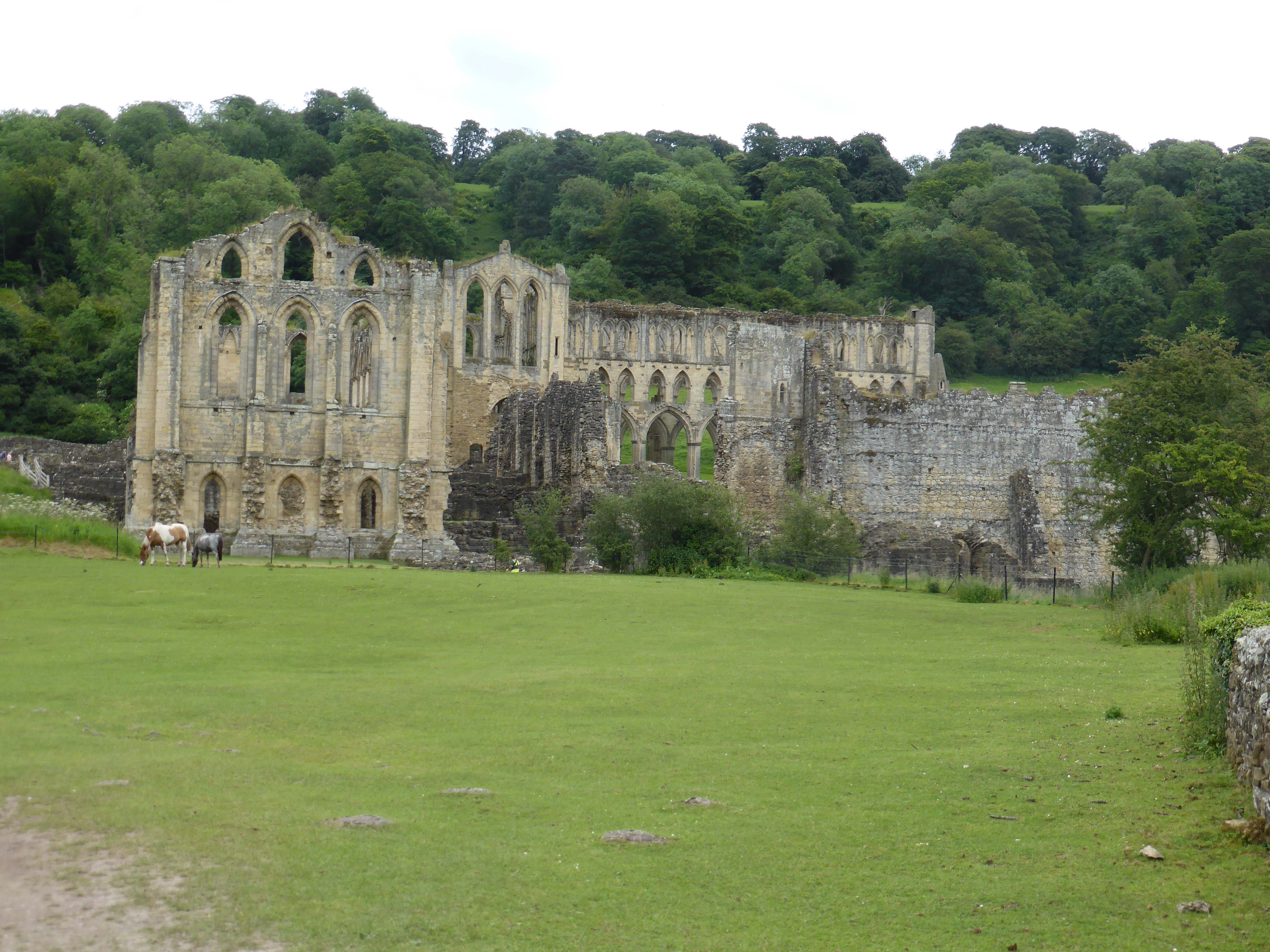
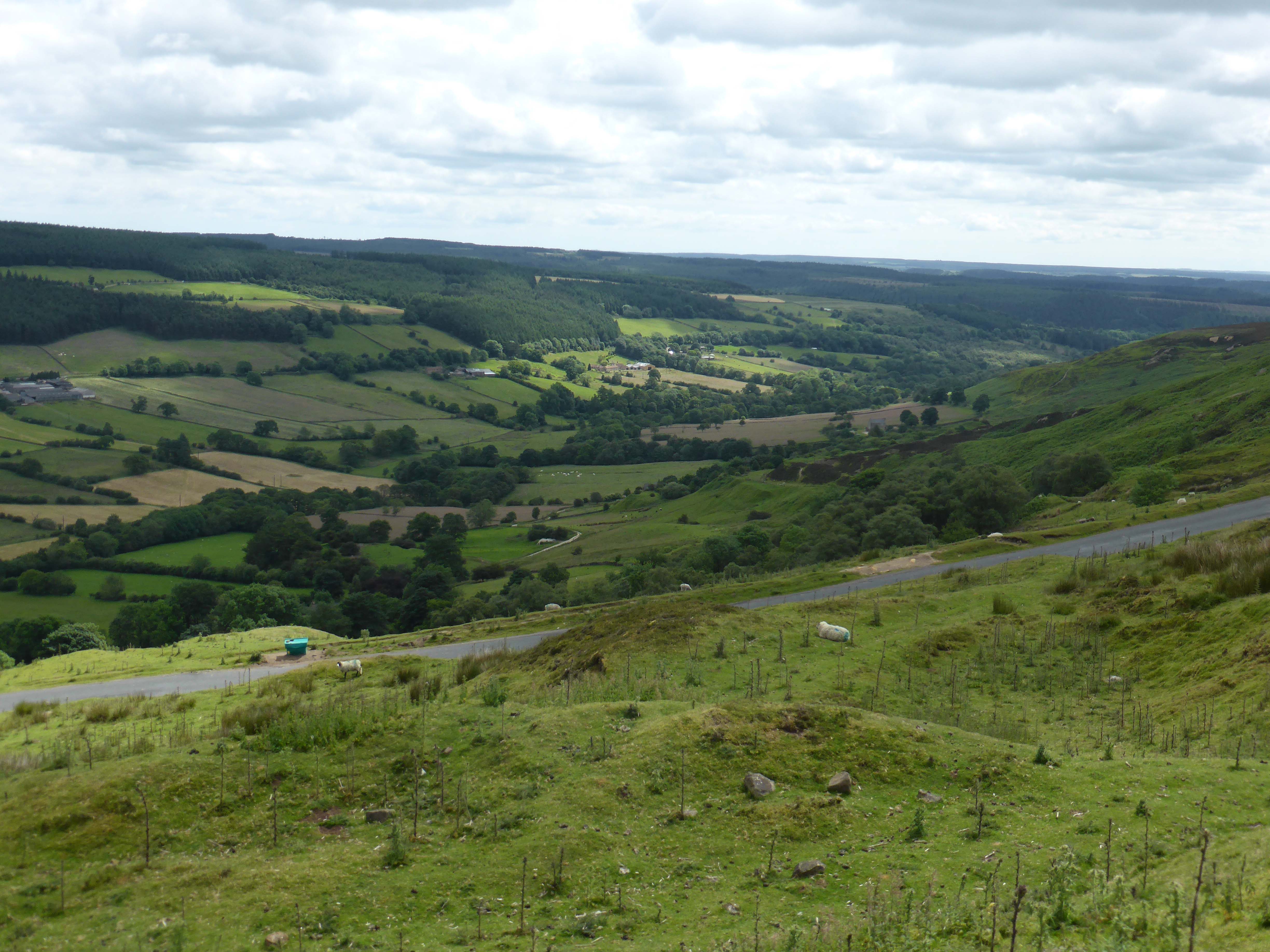
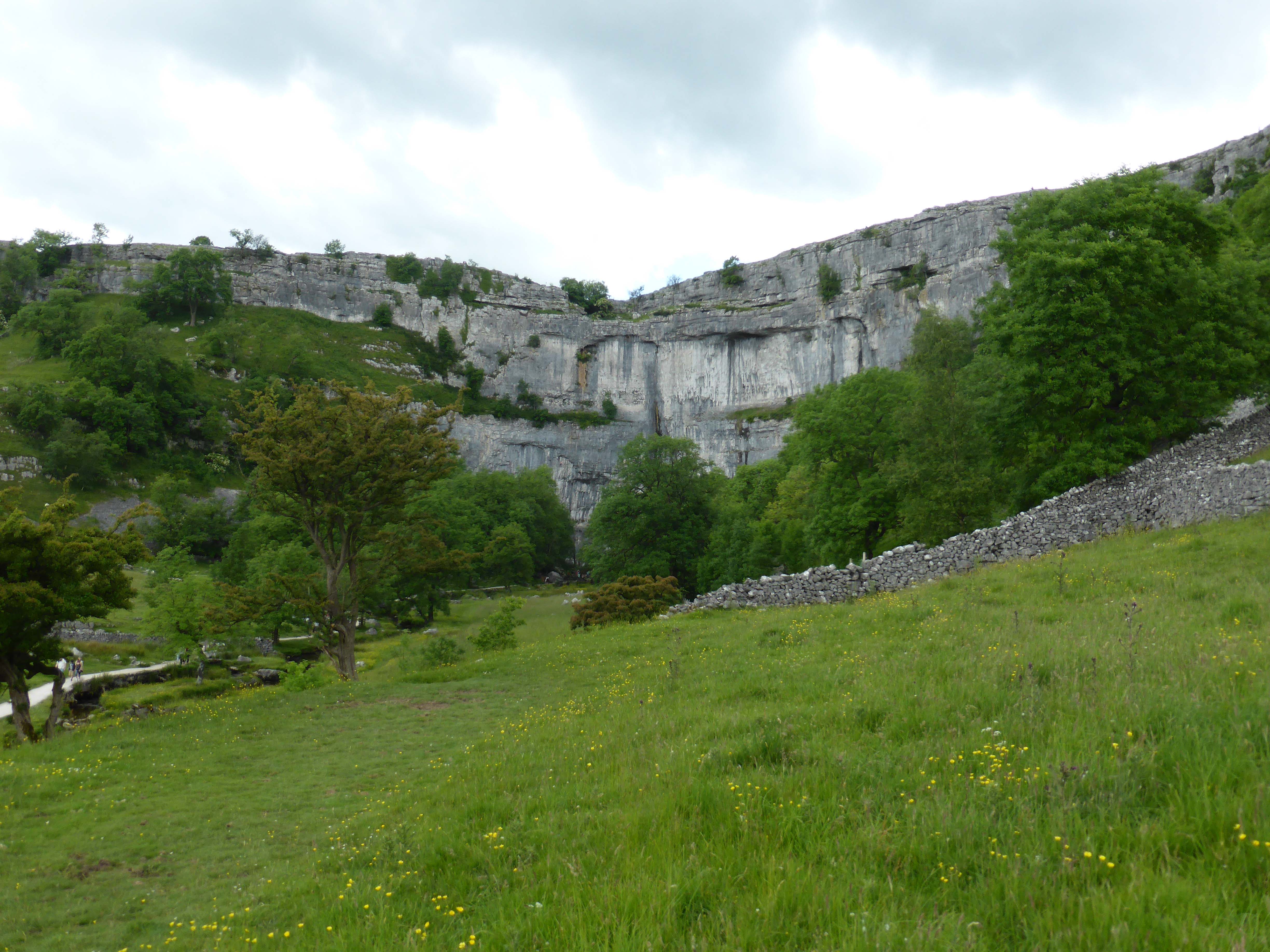
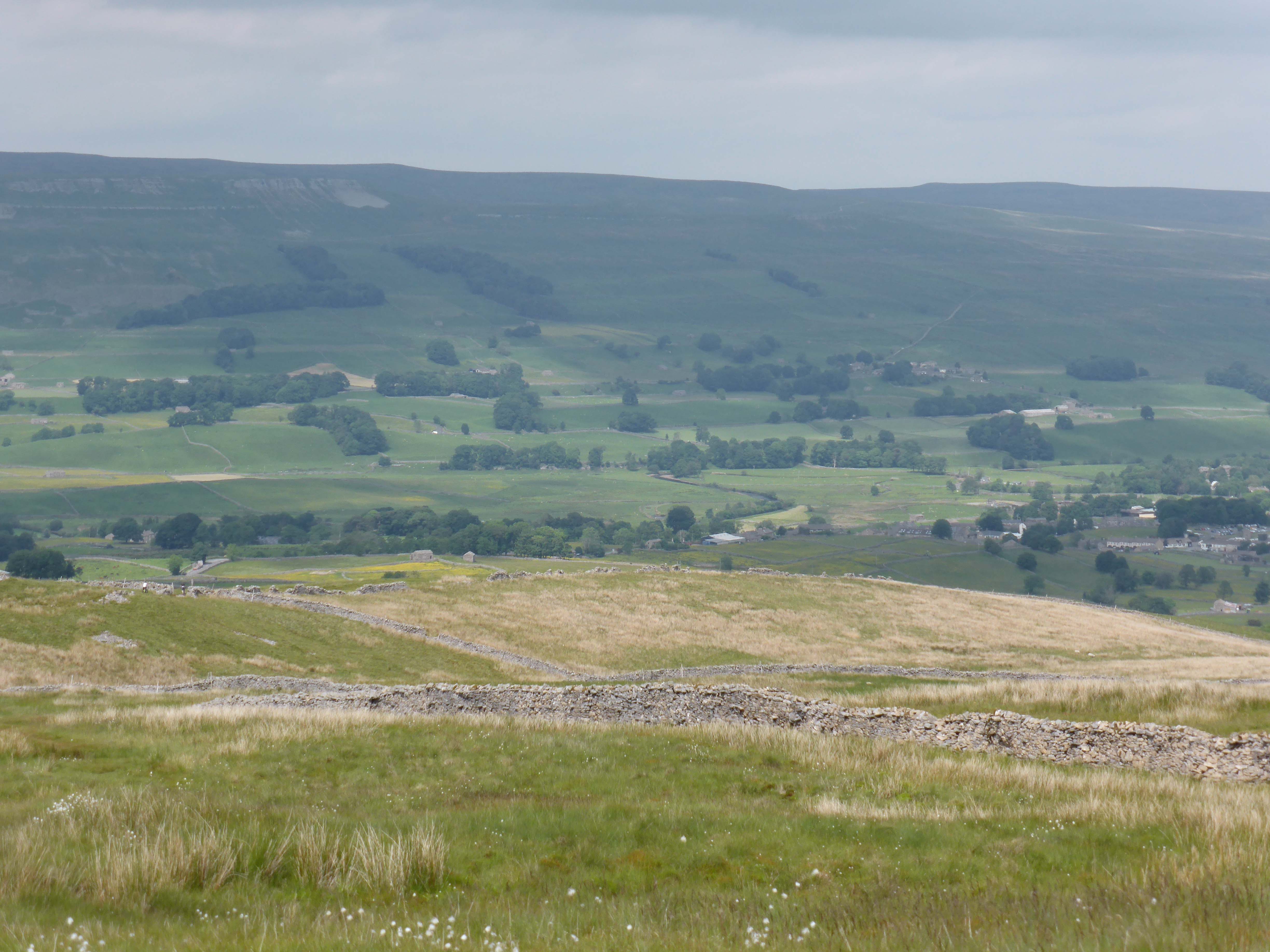
    We have planned a day out in Scarborough. But as we have no set agenda to our activities we change our mind on route. We are driving along the road and see the attractive open moorland and decide to go for a walk instead. Not a long walk, but enough to see if Lynnie’s back is okay over rough ground.

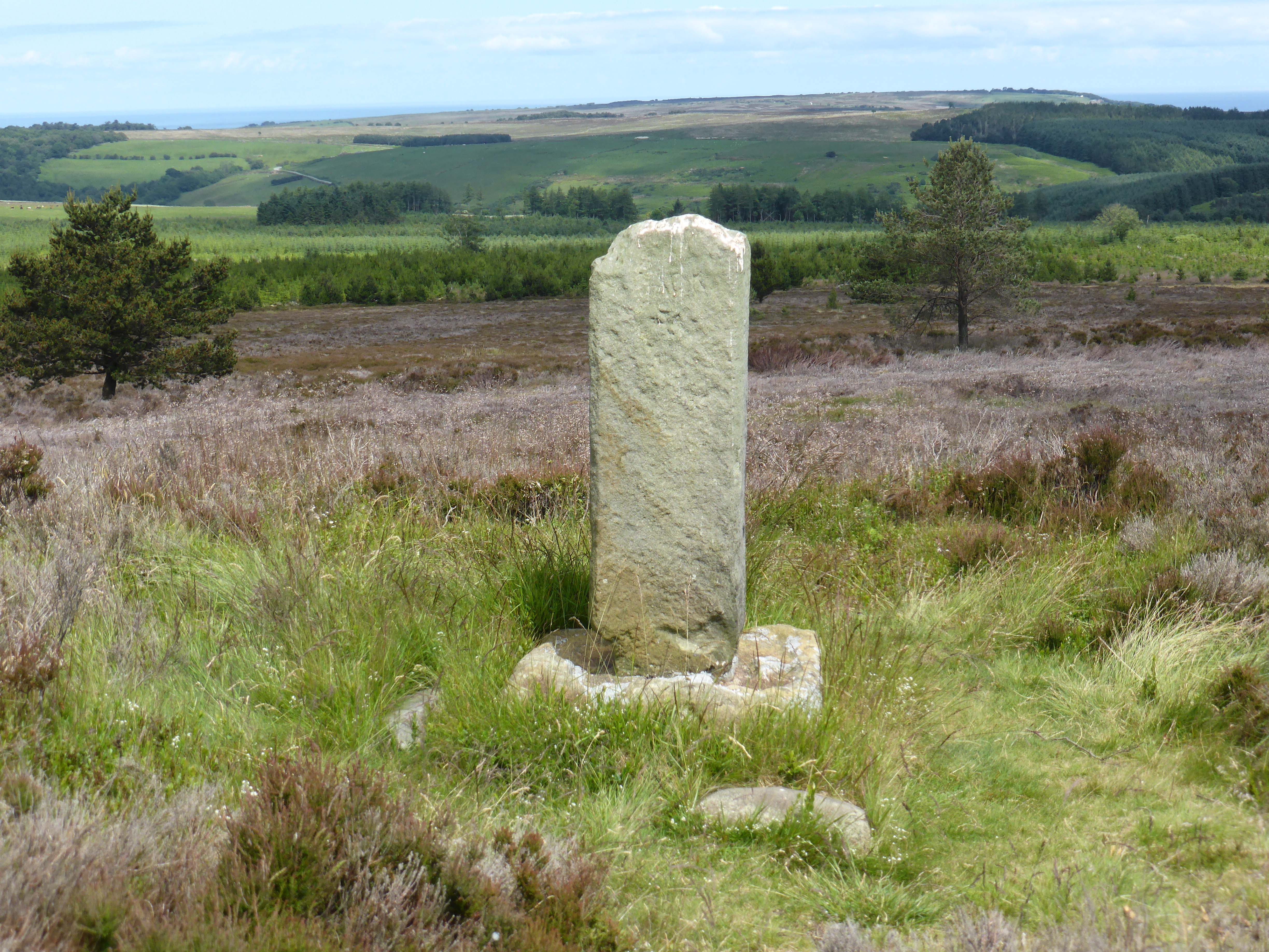
    We park up at Sneaton Corner and take the footpath that leads us across the moor past Thorn Key Howes to Thorn Key Wath. This path is not the easiest to follow but eventually we find the footbridge that takes us over the beck. The map says the track we are following is the Robin Hood’s Bay Road, as we continue it is a clear path for a while. We think we should carry on in a straight line but the clear path swings to the right so we follow it. Eventually we reach a point where footpaths cross.

    I identify that we are at John Cross, not where we had intended to be but it has shortened the route. We want to take a path to our right but it is not clear where the path is. As we consult the map a couple join us from the direction of Newton House Plantation. They know the area and say the paths are not clear. So after a pleasant chat, during which Dexter and Crosby manage to purloin a custard cream from their new friends, we bid each other farewell and head off trying to find a path that runs parallel to the stone wall.

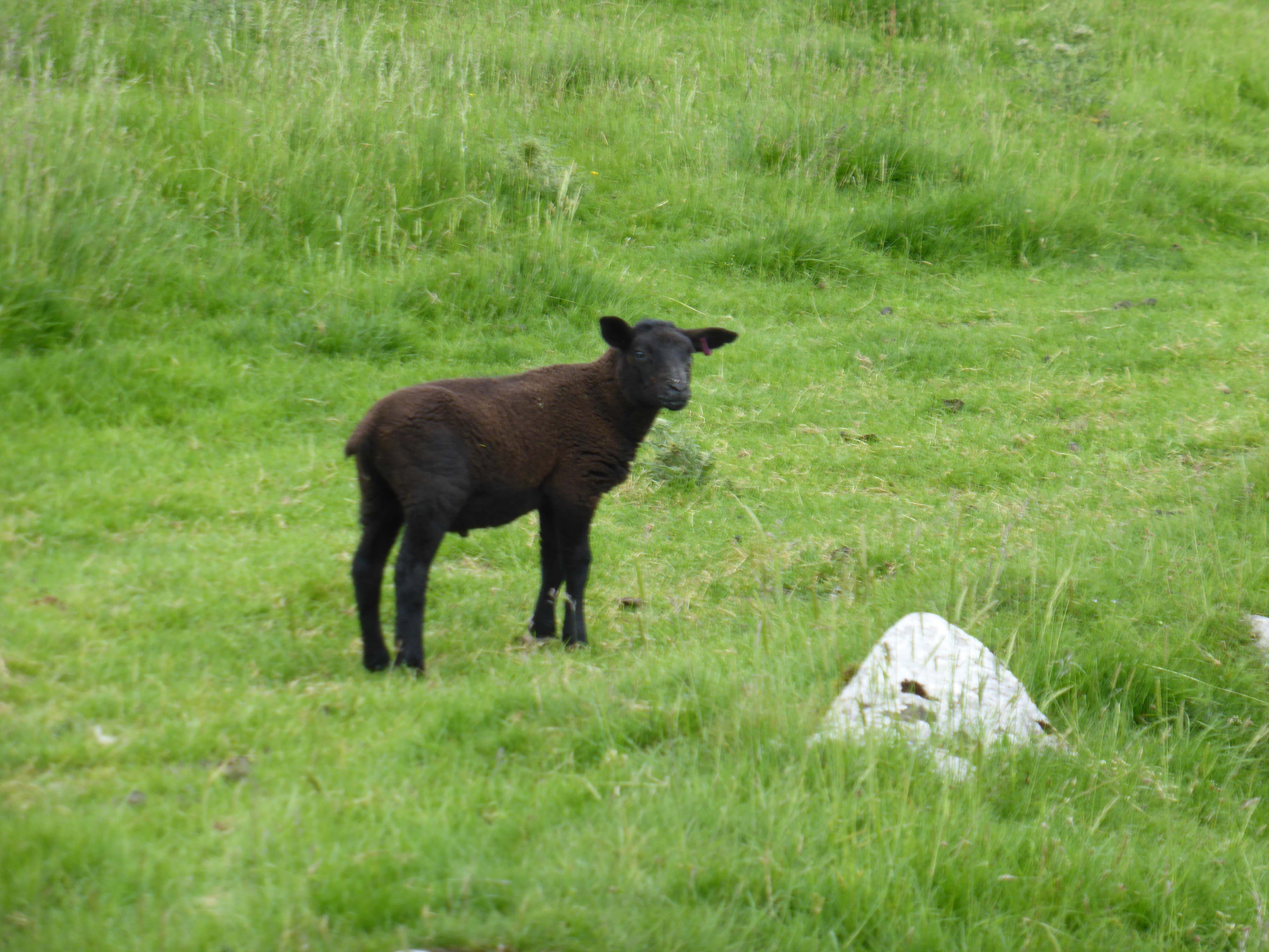
    Eventually we locate the path and follow this to a gate by the B1416, instead of going through the gate we turn right and follow a path back across the moor. We are treated to two Curlews trying to distract us from their young. Our route takes us back to Thorn Key Wath and from there we return to Sneaton Corner, the path is much easier to follow from this direction.

    It has been a pleasant wander on open moorland, just over four miles at a steady pace. Lynnie has coped, but would not want to go much further.

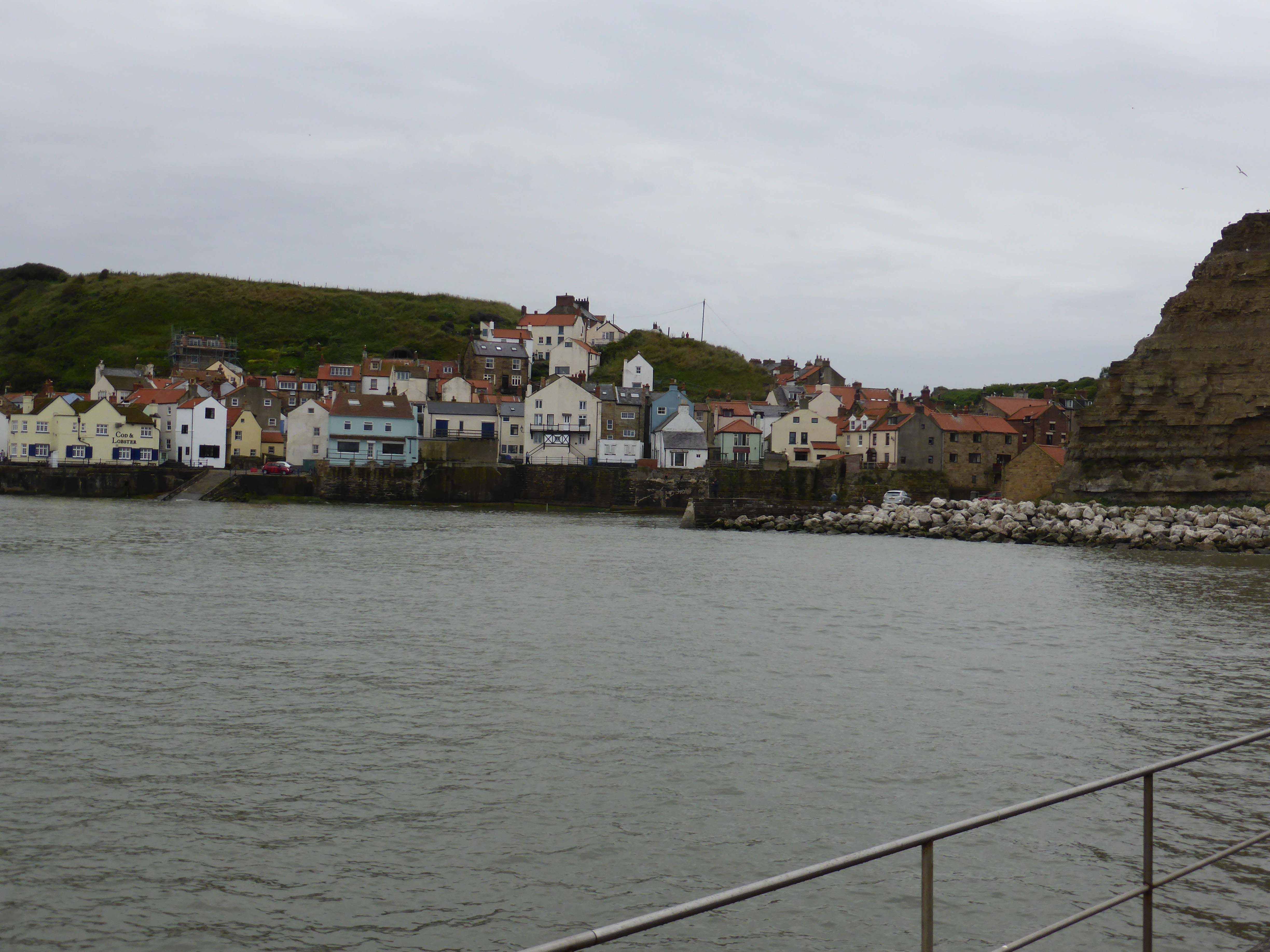
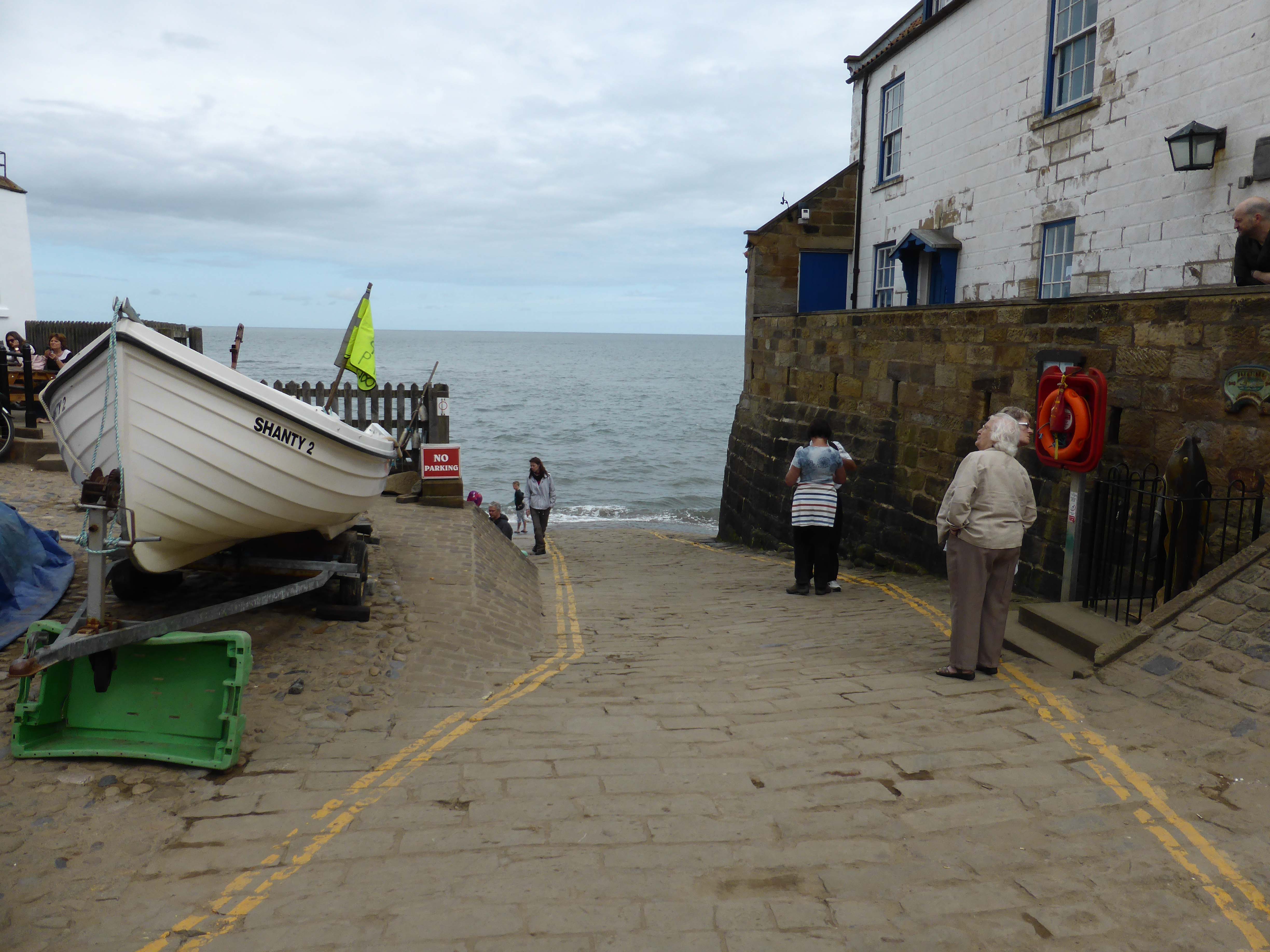
    Back in the car we decide to abandon our plans to go to Scarborough and visit Robin Hood’s Bay instead.

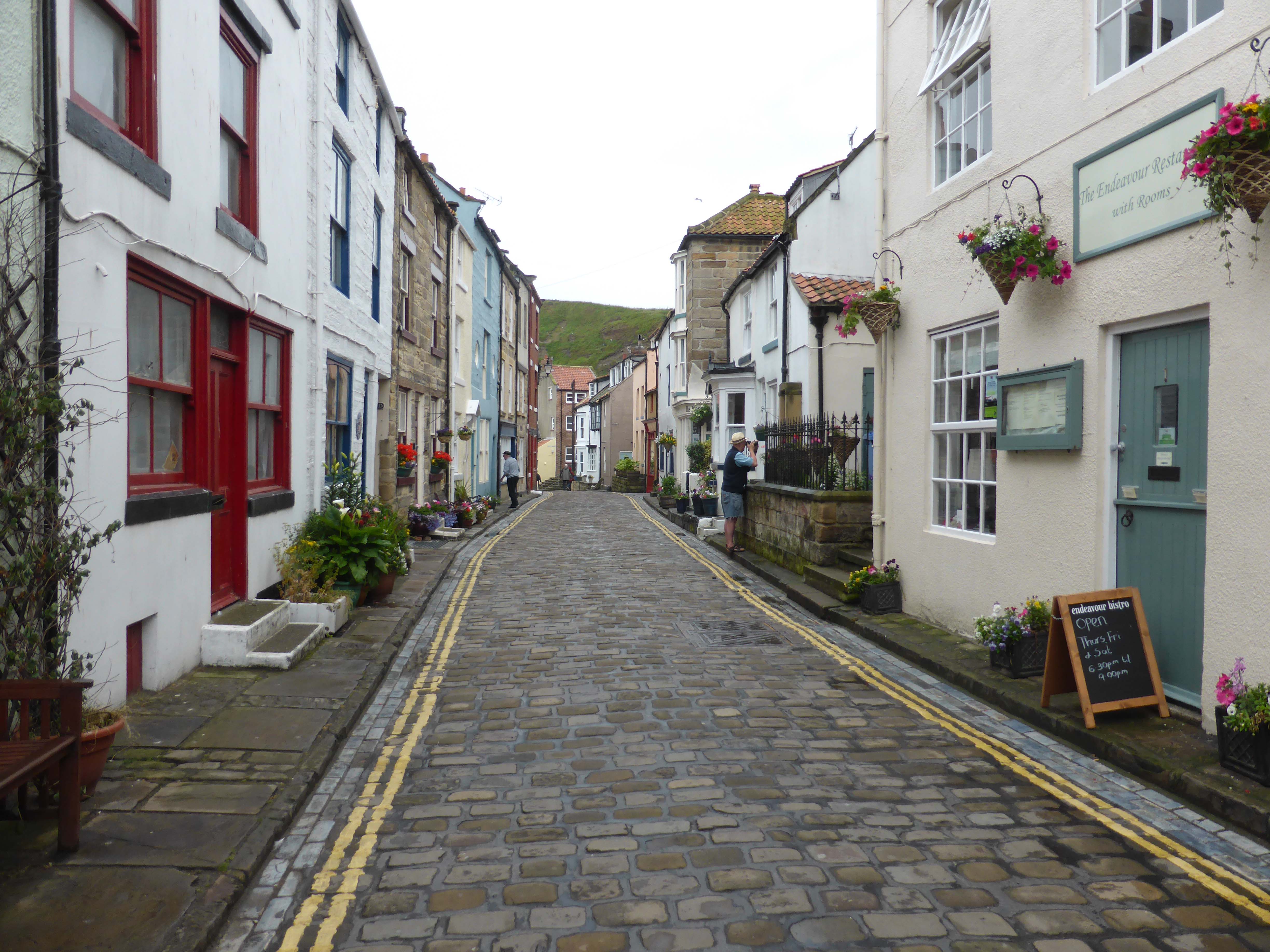
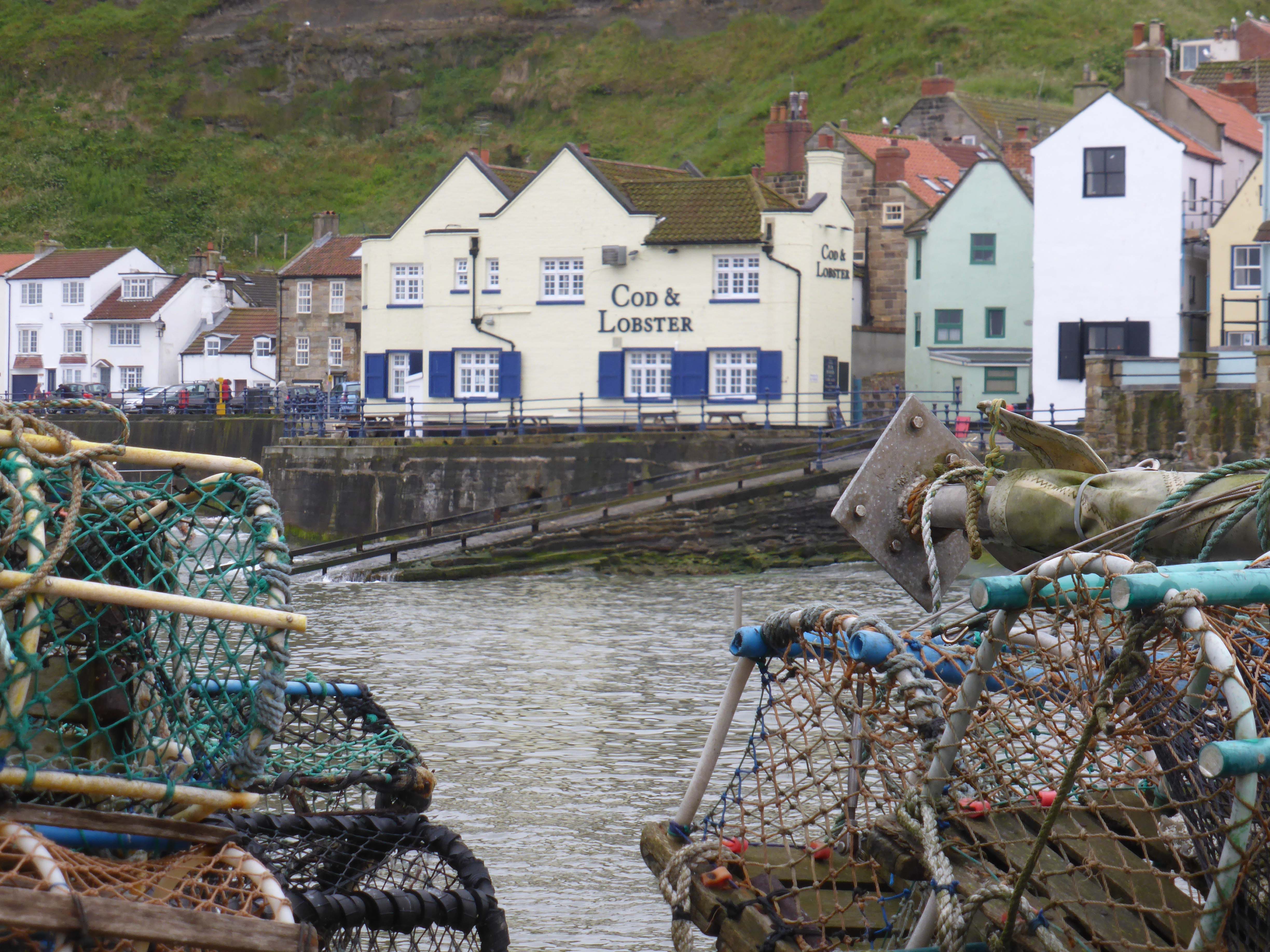
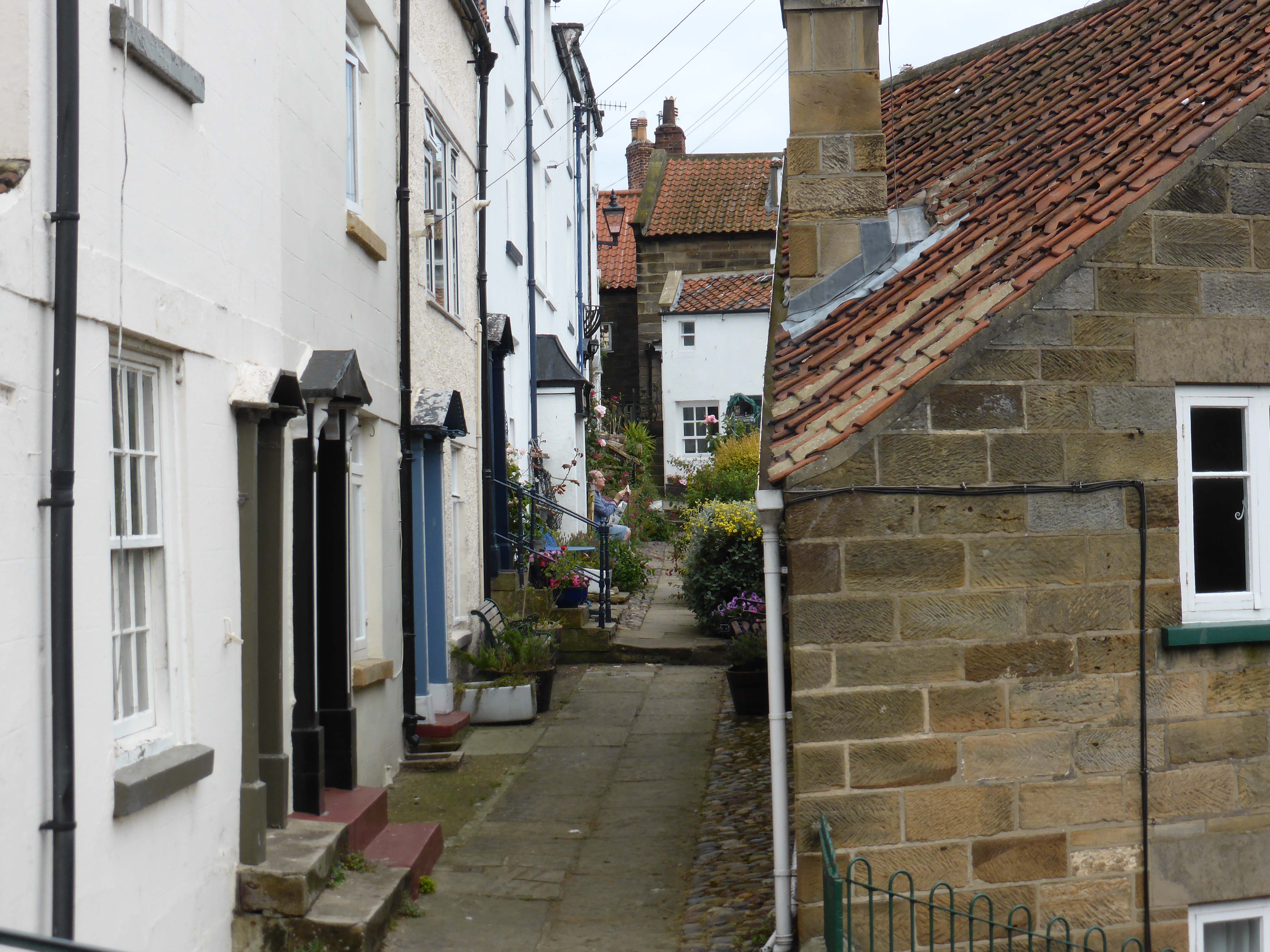
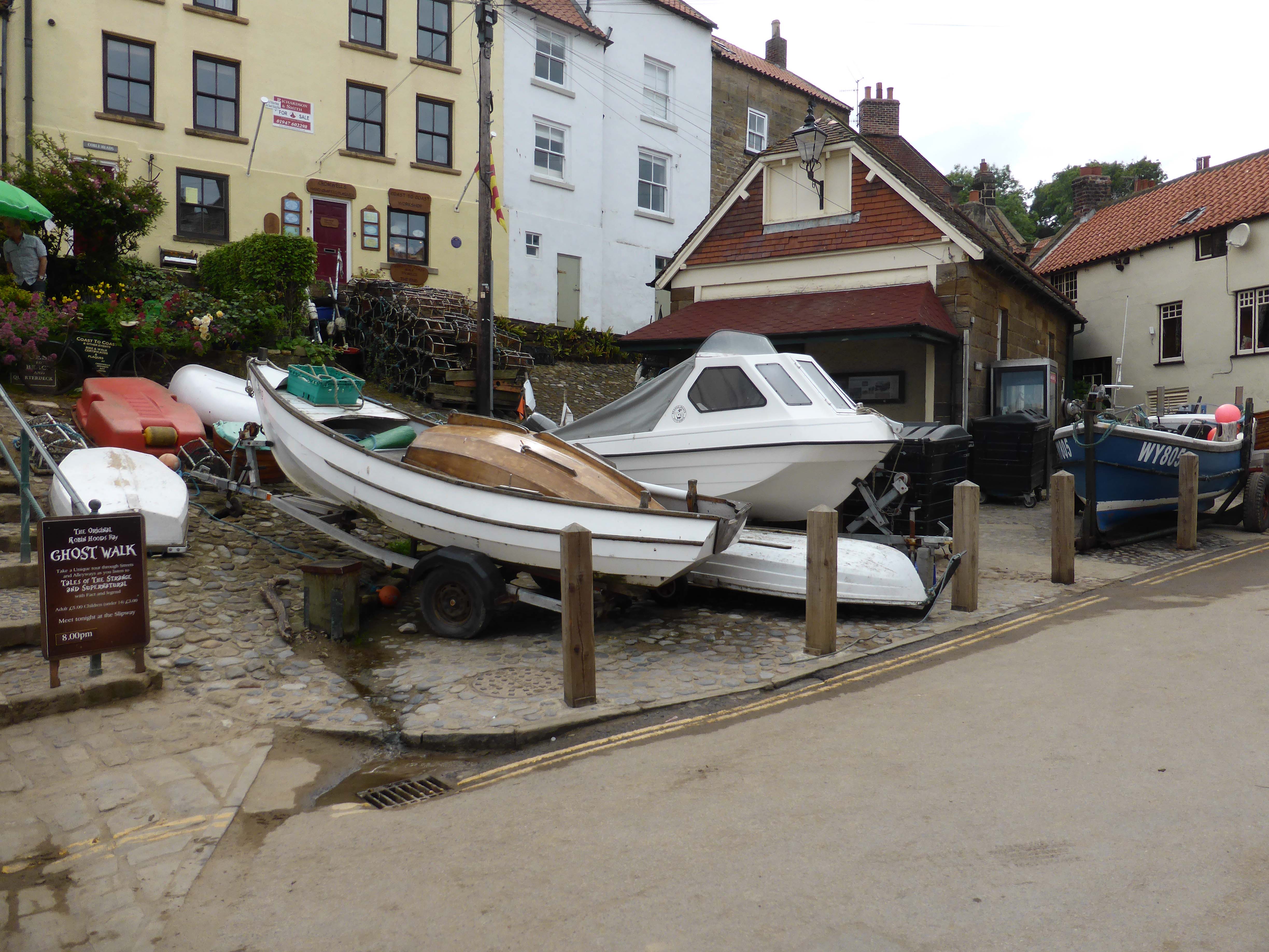
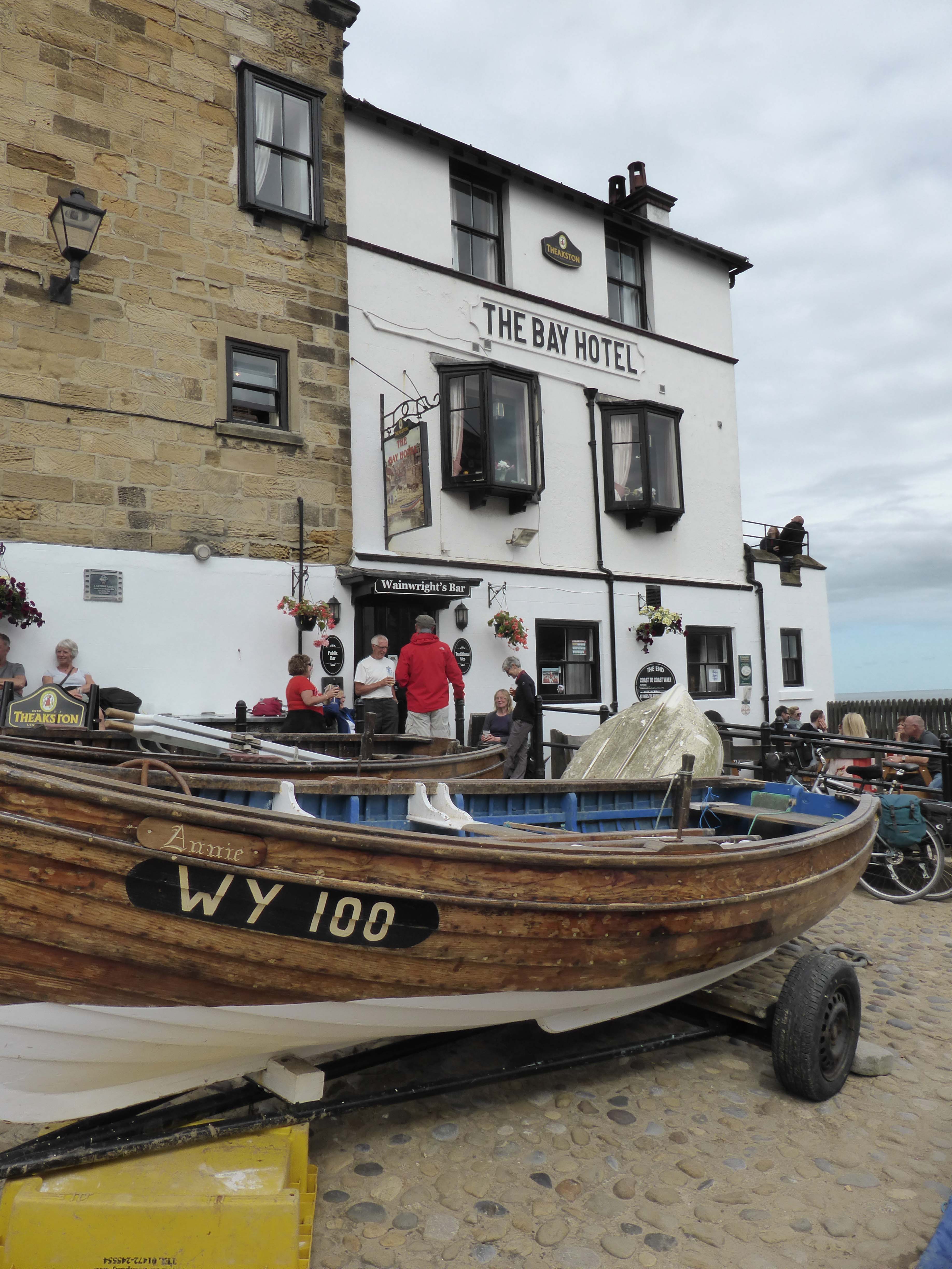
    Parking at the top of the hill we walk down the steep narrow road to the bottom of the village. This place is seriously geared up for tourism, holiday cottages everywhere and the pubs and cafes doing a roaring trade.

    In the past Robin Hood’s Bay was a haven for smugglers with the narrow passages between cottages ideal for concealing contraband. It is rumoured that there was a network of underground passages in the village to make it easier to move the illegal goods.

    P1010757

    The village is the conclusion of Alfred Wainwright’s Coast to Coast walk. The point where you reach the sea by the lifeboat station is an attractive sight. Even more attractive if you have just walked 192 miles.

    Many years ago Lynnie and I visited Whitby on holiday and purchased some prints by the famous photographer Frank Sutcliffe, one of the prints that hangs on our wall (well it did when we had a wall to hang it on – it is now in storage) is a picture of Henry Freeman the sole survivor of the 1861 Whitby lifeboat disaster. This was a remarkable story of a storm on 9th February 1861. The Whitby lifeboat was launched four times that day in heavy seas to make separate rescues. On the fourth occasion the lifeboat capsized and all the crew lost apart from Henry Freeman. It was his first day as a lifeboat man and he was the only member of the crew to be wearing a newly developed cork flotation jacket, he went on to serve another forty years as a lifeboat man.

    This story is surpassed by the tale of 19th January 1881, which also involved Freeman. On that occasion a storm was blowing so fierce that the Lifeboat could not be launched at Whitby to attend a rescue at Robin Hood’s Bay. The crew decided that the only option was to drag the lifeboat inland on a seven mile journey. They were aided by horses, but hampered by seven foot snow drifts. Up to 200 men where involved in digging a route and they made the journey in two hours. Lynnie and I walk at a pace of about 3.5 miles per hour. It is remarkable that they could move a lifeboat at a similar pace. The boat was launched at Robin Hood’s Bay and the rescue made. The men returned on foot and went back for their lifeboat later on a calmer day to sail it back to Whitby.

    Both sobering tales of the extraordinary lengths that some men go to for the sake of others. I wonder if the chap I hear moaning about the strength of the mobile phone signal in the village ever stops to think about what life was like here many years ago.

    We agree that Robin Hood’s Bay is a pretty village, but far too busy for our liking. When we get back home I will look forward to rehanging the picture of Henry Freeman and when I am having a bad day will think about the traumas he faced.

    [To follow our walk you will need Ordnance Survey Outdoor Leisure Map 27 – North York Moors – Eastern Area]

    P1010763

    P1010765

    28th June 2014

    © Two Dogs and an Awning (2014)

  • Unpleasant Precipitation

    Unpleasant Precipitation

    We decide that a restful day is required to aid the recovery of Lynnie’s back. She is feeling a bit sore, so unsurprisingly does not fancy a long walk. So it is a walk in the morning around the local lanes for me and the dogs. We start to prepare ourselves for a trip out and then I get a migraine.

    I am getting a bit irritated with the frequency these migraines are occurring this one is the third in the last four weeks. I had hoped that stopping commuting might reduce them, but obviously not. It is probably time to try another lot of acupuncture to see if that helps.

    Eventually we reach our destination, the attractive fishing village of Staithes. We park at the top of the hill and get a panoramic view of the potash mine. Not the most attractive views but Boulby Mine is a major producer of the potash that is required to make fertilizer. This is one of the deepest mines in the UK.

    Staithes was once one of the largest fishing ports in the UK. In its heyday there were 300 men employed in fishing here, with three trains a week delivering fish from the harbour to the rest of the country. Now the fishing industry is mainly lobsters, apparently Staithes is now the tenth largest lobster port in England and Wales.

    P1010718

    The attractive cottages are now mainly holiday lets. This must be like a ghost town in the winter. The cottages take a fair battering from the weather, but it is probably the deposits of the huge gull population that has the biggest effect. The place is absolutely smothered with droppings and as we walk we try to avoid the frequent splats. Lynnie puts up the hood on her jacket as a precautionary measure. These are not small birds and being hit by one would probably necessitate a change of clothes.

    P1010728

    A few years ago Lynnie was the recipient of a present from one of our local wood pigeon population. It caught her on top of the turnip and made a right mess of her hair. It was not a laughing matter. (Although five years on the memory still raises a smile.)

    At the bottom of the hill and into the village we pass a vintage shop. There in the front is a cold box identical to the one that I put in a skip as we were clearing out our possessions to put them into storage. It makes us speculate how many of our possessions are now considered vintage.

    We reach the harbour. Along with history as a fishing port it is reported to have been a haven for smuggling and you can see how the isolation of the village would have made it an attractive spot for a clandestine landing.

    James Cook (later known as Captain Cook) came to Staithes at the age of sixteen. He originally came to the village, from his home town of Great Ayton, to work in a grocers shop. It is said that whilst here his attention was drawn to the sea. The young James Cook worked and lived in Mr. Sanderson’s general dealer’s shop, that building was destroyed by a storm that lasted six days in November 1767, twenty two years after Cook had left.

    Today a house stands in the village with the name Captain Cook’s house (why miss out on a tourist opportunity) and it is said that the building incorporates parts of the salvage from the building that Cook lived in on the quayside.

    P1010714

    We wander around to the lifeboat station. The RNLI first had a station at Staithes in 1875, but this closed in 1922 due to a combination of the difficulty of launching a boat and the shortage of lifeboat men due to the decline in the fishing industry. When the Ministry of Agriculture and Fisheries built the breakwaters and made a harbour the fishing industry revived and in 1928 the lifeboat station reopened.

    Lynnie wanders out onto the harbour wall, whilst Crosby speculates on the chances of catching a gull. The fact that they are thirty feet above him does not deter him from his plans.

    Lynnie returns wind blown and we amble back up the hill to the car park. The gulls can rest easy now that Crosby has departed.

    On our way back to the Unicorn we have a brief stop at Runswick Bay. The combination of Lynnie’s sore back and my sore head puts us off further exploration. Lets hope we are both feeling sharper tomorrow.

    P1010725

    27th June 2014

    © Two Dogs and an Awning (2014)

  • Falling Foss

    Falling Foss

    After the disappointment of yesterday’s walk we decide to visit a more popular area today. We have been told that Falling Foss and the surrounding area is attractive and my old walking book has a suitable walk.

    We start from the car park at Falling Foss and go down the lane to the 30 feet waterfall. An attractive sight, which I imagine, would be spectacular after extensive rainfall. We walk by the tearooms at Midge Hall alongside May Beck, turning up a broad farm track within fifty yards.
    (more…)

  • Dratted Dark Gill

    Dratted Dark Gill

    Lynnie has identified a walk in our 100 Great Walks in Britain that takes us close to Rievaulx Abbey. So we agree that this will be our destination today. Her thumb is swollen and has gone a dark shade of purple, but I am told that it is going to be okay and we do not need to visit A&E.

    Our trip to Rievaulx involves a drive across the moors. There is a lot of exposed moorland up here. This is not a journey you would contemplate on a snowy winters night.

    Our route takes us through the village of Rosedale Abbey and after climbing the 1:3 Rosedale Bank we arrive at Rosedale Top. Apparently this is one of the steepest roads in Britain. The road was constructed by the ironstone company that operated the Bank Top kilns.

    There are still remains of the iron kilns, we park up and wander across to take a closer look. The kilns used the ore from the nearby Hollis Mines. The ore was roasted to drive off water and carbonic acid, a process called calcination that reduced the ironstones weight for transportation. Yet another reminder of our industrial past.

    We eventually arrive at Helmsley, a pretty town on the edge of the North York Moors. We park up and as I sort out our walking route and rummage for change an over vigilant parking attendant explains that as soon as I stop I am required to purchase a ticket. I find it fascinating how these individuals engage with the public. Sometimes they are welcoming and helpful to visitors, on other occasions like today, they appear to have one aim in life, to be antagonistic. Thinking about the discussion we had the other day about dogs and owners having similar characteristics, I suspect that if this chap owns a dog it is a pit bull.

    We should have taken the interaction with the parking attendant as a harbinger for the rest of our day. We start our walk on a pleasant path signposted the Cleveland Way, this takes us across fields and through woodland to arrive at a road leading towards Rievaulx. At the attractive road bridge we turn right into the village and start to get glimpses of the Abbey.

    P1010639

    Rievaulx Abbey was founded in 1132 by twelve monks from Clairvaux Abbey and was the first Cistercian Abbey in the north, Henry VIII dissolved it in 1538. The abbey owned a prototype blast furnace at Laskill, producing cast iron as efficiently as a modern blast furnace. It is said that the closure of the abbey delayed the industrial revolution by two and half centuries.

    P1010649

    Further through the village we come to the Church of St Mary. Over 800 years ago the nave of this church formed the “Gate Chapel” of Rievaulx Abbey. During the dissolution it was also surrendered and sleighted and then stood derelict for over 300 years. In 1906/07 it was restored. Today it is a tranquil little church.

    P1010653

    Our walk takes us on an uphill track directly opposite the church, ignoring tracks to our left we eventually reach open fields. On reaching a busy road (B1257) we turn left and walk along the wide verge. After about quarter of a mile we turn up the track to Oscar Farm and go through the farmyard then follow the footpath signs that take us across a couple of fields and into a plantation.

    At this point our walking book says that the route is faint but marked by yellow markers pinned to trees. The first part is easy it is a broad track we are then instructed to turn right and soon join the marked path on the left. We do. This path has yellow markers, it also appears to be used by motor bikes. The route loops through trees and back on itself. We appear to be following a bike route and not the footpath.

    We check the map and work out where we are and then start off again. We spy another marker in the distance and follow this down on what is initially a clear path, but soon becomes dark, overgrown and less distinct. We know where we are, in Dark Gill, our map shows a path running through the bottom of the gill.

    The path is thick with nettles, not an ideal route for a chap in shorts! I get stung, swear a bit and get stung again. This is not a great walk! Eventually after twenty minutes of difficult walking we emerge onto a broad track. Time to apply the sting cream.

    We then take a track that leads us up to Ouldray Farm and follow a path across a couple of fields before entering a wood and descending into Beck Dale. Here we join the path we would have been on had we found the correct route. This takes us back into Helmsley. It has been a walk of about ten miles and is definitely the least favourite of all our walks. We decide that to make up for it we will pop in to the local pub in Lealholm for a meal.

    The Board Inn is a cracking pub. When we called in on Monday evening we were shown a blackboard menu and I had spotted loads of options. This evening the menu has totally changed, still lots of choice, but a clear indication of an ever changing menu. The Black Sheep is probably the best pint I have encountered on my travels and the meal is excellent. A cracking evening that has made up for a disappointing walk.

    [To follow our walk you will need Ordnance Survey Outdoor Leisure Map 26 – North York Moors – Western Area]

    P1010635

    25th June 2014

  • Goathland Revisited

    Goathland Revisited

    Yesterday we completed the thirteenth moving day of our tour. Despite the number we have done there remains an element of stress to packing up and moving on. The stress level is obviously low compared to what I experienced at times during my full-time working life, but regardless it is enough to throw us slightly off balance.

    I have some work to do, so we spend much of the day around the Unicorn and head off in the late afternoon for a short walk. Lynnie and I visited the North York Moors a number of years ago and I recall doing a walk around Goathland, where we head today.

    Goathland is an isolated village on the North York Moors, but to be honest every village here is isolated. Lynnie and I don’t watch much TV so the references to Heartbeat are lost on us. Apparently the TV series was filmed here.

    In 1267 the village and much of the land around Goathland was given to the Duchy of Lancaster by Henry III, apparently the Duchy still owns a good proportion of the common land.

    Our route takes us out of the village and along a lane by the public car park. We soon take a footpath on the left signposted to Grosmont and follow it down past the old railway cottages and continue on past Incline Cottage, with its iron pump on the outside, eventually we reach a footbridge over Eller Beck. Here there is a plaque that tells us that we are now on the route of George Stephenson’s 1836 Whitby to Pickering horse drawn tramway railway. In 1845 it was improved to allow the use of steam locomotives and was in regular use until 1865.

    Now on the flat disused railway we make good speed. Those following the blog will know that wherever we go we seem to find a walk along a disused railway line. We are losing track (get the pun?) of how many we have walked, but think it is five or six. This one is particularly attractive as it follows alongside the Murk Esk.

    Today the river is running at a low level, but in 1930 it destroyed a bridge on this route, our old walking book tells us to take a diversion, which we do, but then find that a new footbridge has been built so the river crossing is now accessible to all.

    Steaming on (another pun) we start to here the sounds of the engines on the North York Moors Railway. As we get closer to Grosmont we walk alongside the siding where old steam and diesel engines and carriages await restoration.

    Up at the viewing point we get a cracking sight of the Sir Nigel Gresley taking on coal. The locomotive is named after one of Britain’s most famous steam locomotive engineers. Gresley (1876 – 1941) designed an extensive range of steam locomotives including the ‘Flying Scotsman’.

    P1010605

    The North York Moors Railway is run as a charitable trust but operates a busy service between Whitby and Pickering it is a fantastic sight and as we walk down into Grosmont the level crossing on the road closes as a train pulls into the station.

    Before continuing our walk we visit the maintenance shed via the tunnel built by Stephenson for his horse drawn carriages. This is believed to be the world’s first railway tunnel and it was built between 1833 and 1835. The information board tells us that the tunnel is 130 yards long, 14 feet high and 10 feet wide, (they still work in imperial measurements up here). Frederick Swanwick, assistant engineer to George Stephenson, designed it. He was censured by the Director for wasting money on the castellated north entrance, it is stunning and thankfully has stood the test of time.

    P1010616

    The trains are still shunting around in the picturesque station, so another photo stop. Grosmont is an attractive village and a mecca for railway enthusiasts. In the 19th century this was an industrial area with an iron works that was a significant employer, we see no obvious signs of this industrial history. It is also on Alfred Wainwrights Coast to Coast path. This is the final stop before heading off to Robin Hood’s Bay (always assuming that you are taking the traditional west to east route).

    We leave the village by climbing the hill towards the east. We leave the pavement and take a footpath on the right opposite a house called Park Villa, it would have been a grand house in its heyday.

    The path takes us through Crag Cliff Wood, a glance at the drop on our right reveals how it obtained the name. It is a seriously steep drop masked by trees. On leaving the wood we follow the path to Green End Farm then turn up a track leading to the road. After a few hundred yards we turn left on the footpath and walk through the farm yard and cross a couple of fields to bring us out onto the road by Hollin Garth farmhouse.

    We ignore the wide track opposite to take a narrower footpath across moorland. We follow this to Hill Farm and then take a track on the right that leads to a cottage after which it turns into a path. Suddenly we are above Thompson Foss and carry straight on following the path that skirts the steep drop and leads us down to a footbridge under the railway bridge.

    P1010628

    We climb up the other side and follow the footpath across a field before joining a lane to take us back into Goathland. Our walk has been close to seven miles and a reminder of the attraction of the North York Moors.

    On arriving back at the Unicorn we hop out of the car, as Lynnie shuts her door she screams. She has managed to shut her thumb in the car door! It is obviously very painful. Cold packs applied and cups of tea help ease the discomfort, we discuss a trip to A&E but Lynnie insists that it is not broken.

    [To follow our walk you will need Ordnance Survey Outdoor Leisure Map 27 – North York Moors – Eastern Area]

    P1010622

    24th June 2014

    © Two Dogs and an Awning (2014)

  • Leaving The Dales

    Leaving The Dales

    We always feel a tinge of sadness when we leave the Dales. Many years ago when the children were small we took a two week holiday and stayed an extra week. If someone had said we could have stayed forever I would not have needed asking twice.

    (more…)

  • Hoffmann Kiln

    Hoffmann Kiln

    Today is our last in Settle this trip. We are moving to the North York Moors tomorrow, so it is time to visit one of my favourite sites in this area.

    (more…)

  • Peregrines at Malham Cove

    Peregrines at Malham Cove

    After two weeks in the Dales we decide to join the throngs of tourists and visit Malham Cove. In part our trip to Malham is to do a walk that will take in Gordale Scar and Janet’s Foss. We recall going to Gordale Scar but cannot remember having previously visited Janet’s Foss.

    (more…)

  • Young At Heart

    Young At Heart

    For the last couple of days I have had a bit of jip with my right knee. Long walks have become a bit painful. Nurse Lynnie decides that I should have a restful day. Thereby creating a good opportunity to catch up with some jobs around the van.

    (more…)

  • I Do Like A Bit Of Wensleydale

    I Do Like A Bit Of Wensleydale

    As Wallace would say “I do like a bit of Wensleydale Gromit”. In fact I do like a lot of Wensleydale. A trip to the Dales never seems complete without a trip to Hawes. It was always a regular feature of our holidays in Yorkshire with our children.

    (more…)