Category: Yorkshire

  • Milestones, Boundary Stones and Trig Points

    Milestones, Boundary Stones and Trig Points

    My interest in walking was really ignited in my teens when we used to visit family friends who lived in Eldwick.  On occasions I would take myself off for a walk just exploring the local countryside.  I did not venture too far, most of the walks were around Shipley Glen and there was the occasional excursion onto the edge of Baildon Moor.  I have a faint recollection of walking to a trig point from Eldwick, but up until now have not really thought about where it was.  

    Whilst studying the map last night I realised the nearest trig to Eldwick is on top of Baildon Hill, so that was probably the one I visited the best part of fifty years ago.  Of course in those days I was not bothered about logging trigs or “bagging” them.  As we are staying so close to Baildon Moor it makes sense to venture there today.

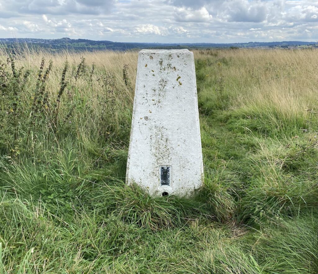
    Our starting point is the car park off Hawksworth Road just to the north of Baildon.  Google maps shows this car park as Baildon Trig Point car park, which sounds very promising to me.  Starting our walk we follow a path from the car park which heads north and very quickly we reach the trig pillar, this is the 267th I have bagged.  Lynnie would like all trigs to be this easy to access.

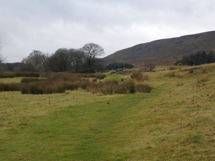
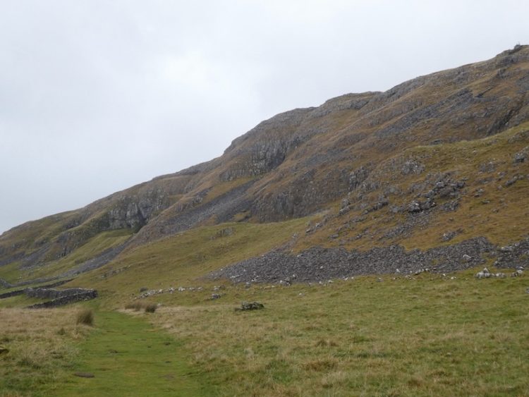
    From the trig we follow a bracken lined path that descends across the hill towards Hawksworth Road.  There are fine views with part of Baildon Golf Course on Baildon Hill in front of us.

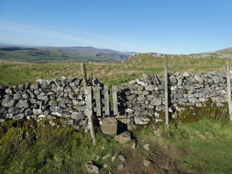
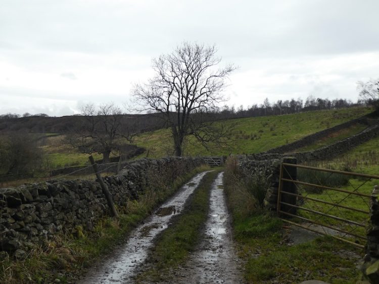
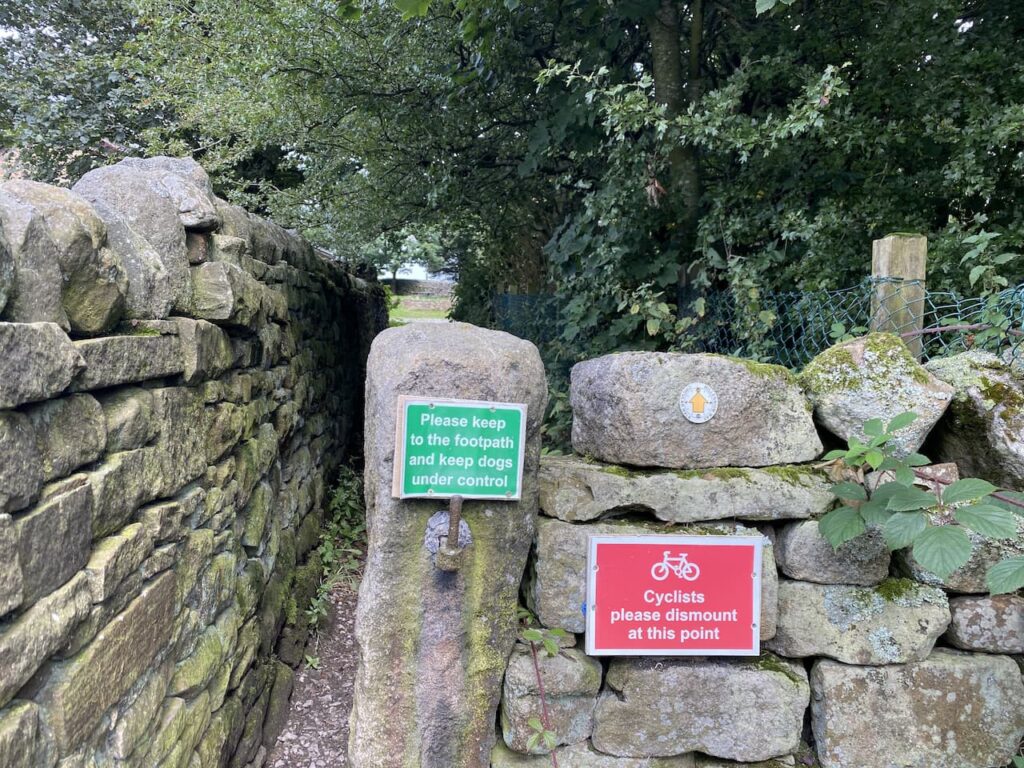
    On reaching Hawksworth Road we cross and follow a footpath sign on the opposite side.  This heads in a north westerly direction besides the aptly called Bracken Hill.  We ignore other paths to the right and left until we reach the northern edge of the access land, here we take a footpath straight ahead through a narrow gap besides a wall.

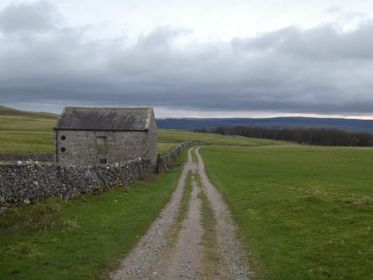
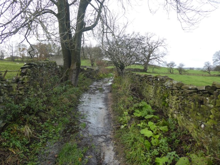
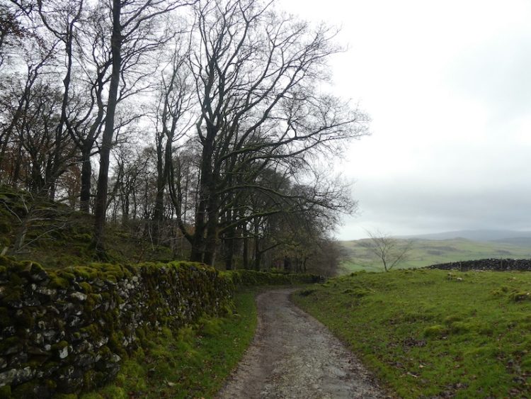
    The path passes through what appears to be the grounds of an activity centre, although at the moment there is no obvious sign of activity, it joins Sconce Lane where we turn left and follow the lane past Ash House Farm.

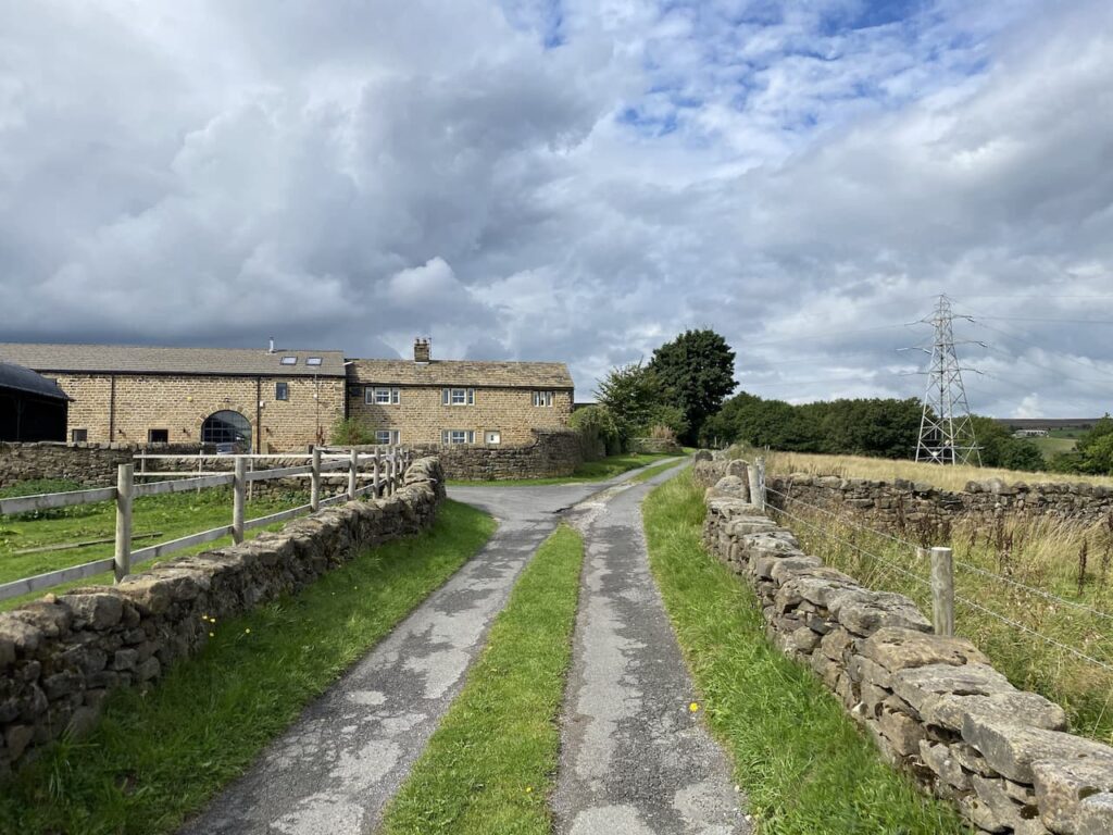
    The lane continues past smart holiday chalets and then the entrance to Faweather Grange.  At a junction of tracks we turn left along Birch Close Lane and head towards Birch Close Farm.  Just before we reach the farm we turn right up a tarmac lane to join the route of the Dales High Way, this is a ninety-mile long distance walk from Saltaire to Appleby in Cumbria.  I am always on the lookout for new trails to walk and will have to look at this one in more detail.

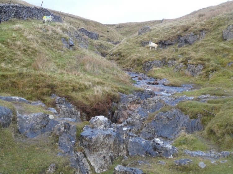
    The path gradually ascends to pass close by Weecher reservoir, this stands behind a high embankment so is not visible, in any case I am more interested in looking for any Ordnance Survey benchmarks on the gate posts we pass.  Last year I got into “bagging” benchmarks and used to spend time researching their locations before going out for a walk.  Lynnie is pleased that I have now moved onto wild benchmark bagging, this involves no prior research but just the odd glance at a likely location. Wild bagging is far more rewarding and I am soon smiling from ear to ear when I spot the tell-tale chisel marking high on a former gate post. 

    On reaching a junction with the Otley Road we turn right and walk besides this busy road.  Fortunately the verge has been laid with gravel to create a pavement.  After a couple of hundred yards we take a way-marked footpath on the left going onto the moor still following the route of the Dales High Way.

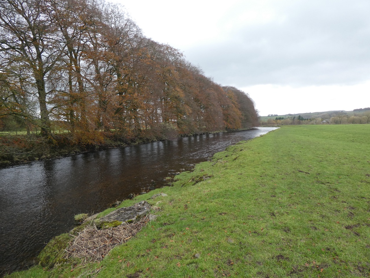
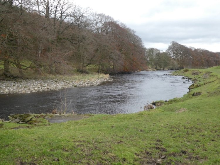
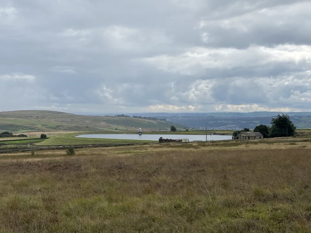
    As we ascend we look back and get a view over Weecher reservoir.   This reservoir was built around the 1880’s by the Baildon Water Board, it was reported that in 1910 it recorded having just over 30,000,000 gallons of water in it.

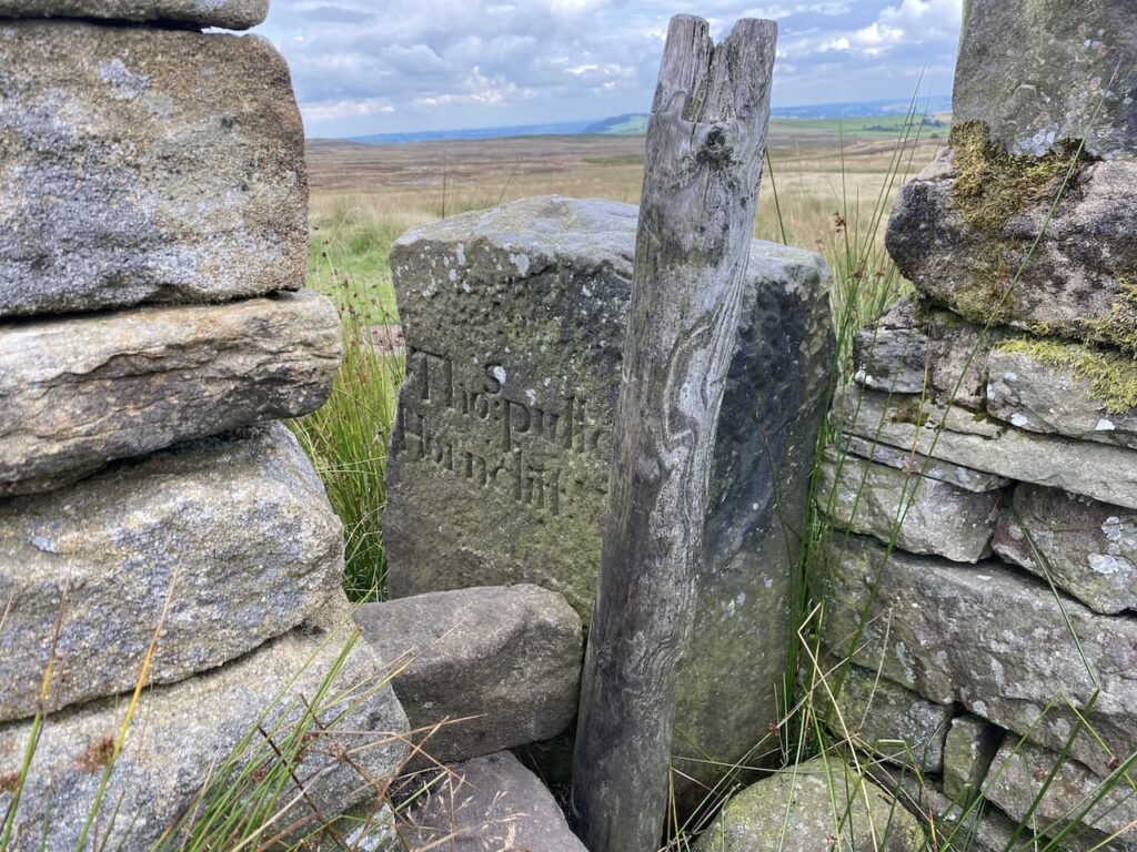
    The Dales High Way leads up across a section of moor shown on the map as Low Two Stoops. We pass through a gate and continue on the well-worn path to a junction of paths besides a wall close to the Horncliffe Well.  There is a boundary stone in the wall at this point marked “Thos Pulleyn, Horncliffe”.

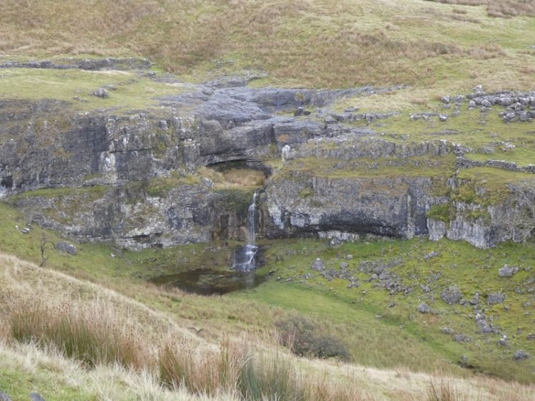
    Now we leave the Dales High Way through a gap in the wall to take a footpath that follows the boundary fence.  On the other side of the fence is a stone marking the Horncliffe Well.  Apparently this well is shown on land records dating back to 1273 and it had the tradition of never drying up. It stands at the meeting point of three moors, Burley, Hawksworth and Bingley.  There are records of a house being on the moor in the early 1800’s but little evidence remains now.  The once free flowing water from the well was diverted into pipes by Yorkshire Water in the 1990’s so there is now little evidence of water but the stone marks the historic spot.

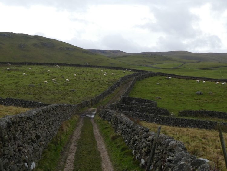
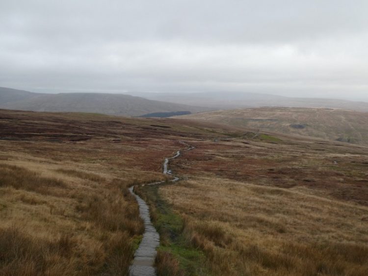
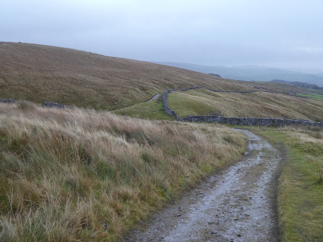
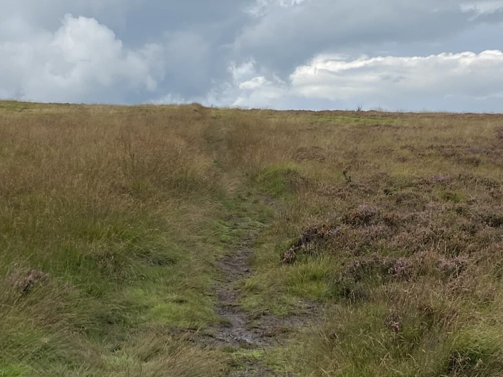
    We follow the well-defined path with the fence line to our right, this route heads steadily uphill occasionally crossing streams running off the moor.  After a dry spell the ground conditions are firm under foot, but I imagine that in the depth of winter it would be very boggy up here.  There are further boundary stones on the fence line.

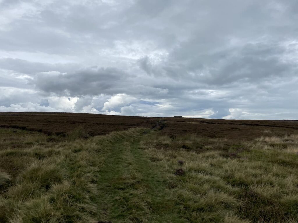
    This path is the route of the Bradford Millennium Way which is a 45-mile circuit around Bradford created in 2000 to celebrate the millennium.  I can’t recall walking any sections of it before, it appears to visit some interesting locations including the Bronte Falls, White Wells and Shipley Glen. The section we are on heads towards a hut on the horizon.

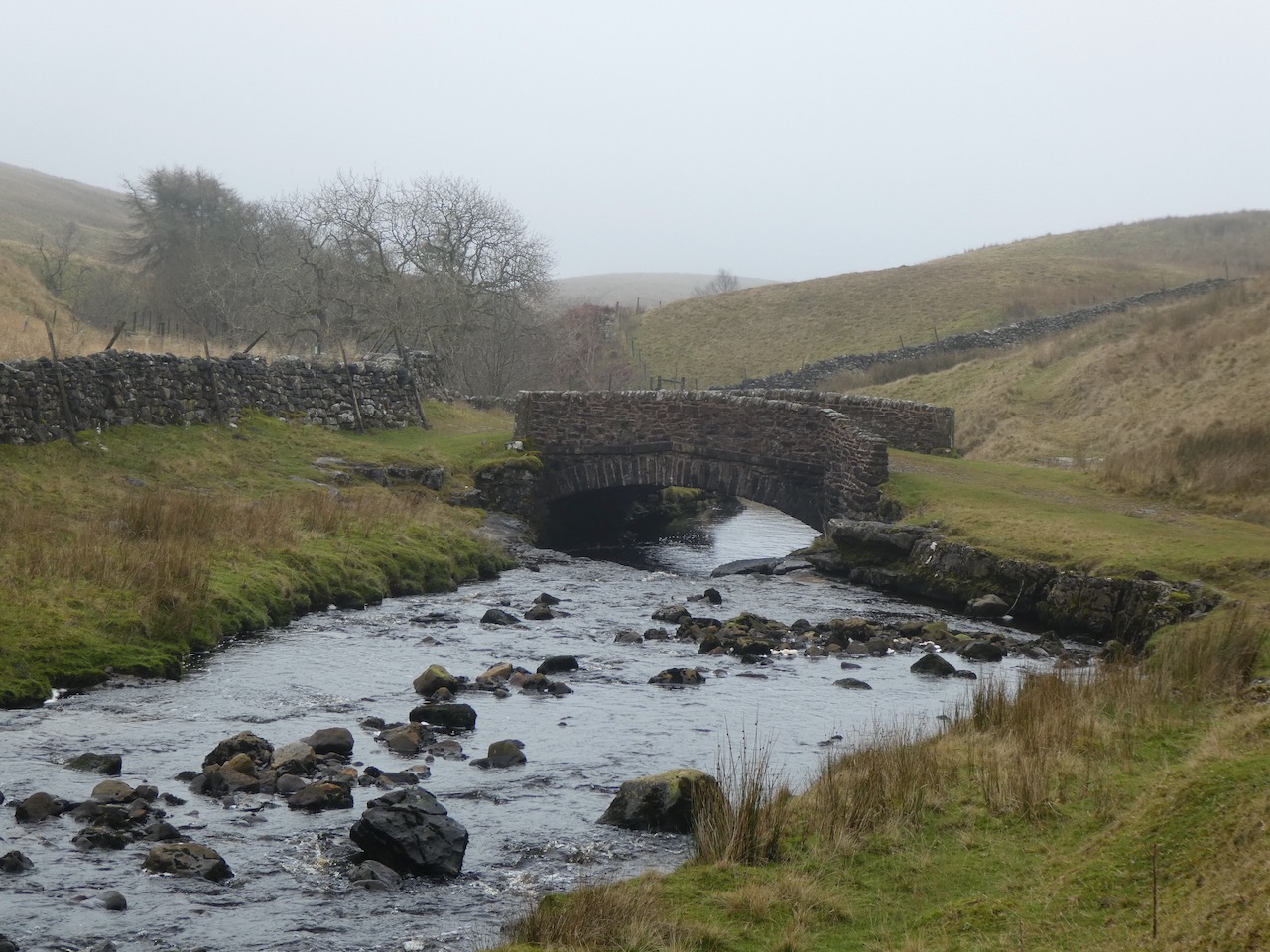
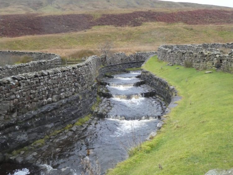
    After passing the hut and an outcrop of rocks we continue on to a junction of paths where we turn left to follow a track with views of High Lanshaw Dam.  This is the highest of three small reservoirs, apparently they were originally built for Urban District Council, later operated by the Rombalds Water Board and eventually Yorkshire Water.

    As we start on the track the beaters for a driven grouse shoot start heading across the moor.  I am not a supporter of grouse shooting and watching it take place at close quarters reinforces my view.  

    At a junction of paths close to the Twelve Apostles we turn left rejoining the Dales High Way this time heading south.  The grouse shoot is going on to our right, they are in the final throws of driving the birds to the guns.  Frankly how anyone could describe this as sport is beyond me.  If  individuals feel the need demonstrate their ability with a firearm surely they could shoot at clays.

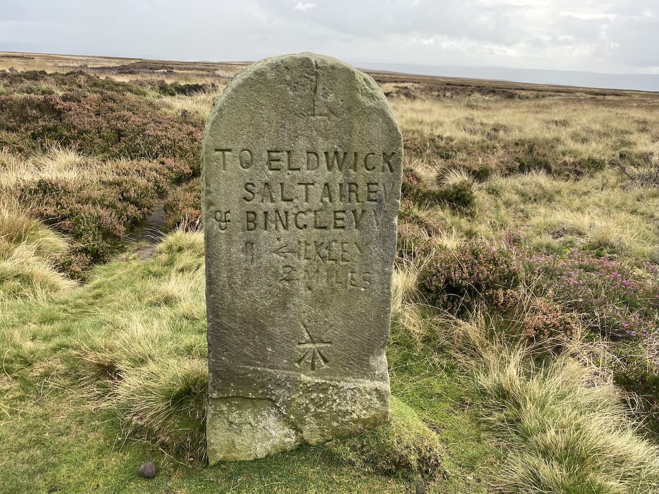
    On our right is an old milestone.  At this point the Dales High Way veers off to the left but we continue on a path marked on the map as the Dales Way Link.

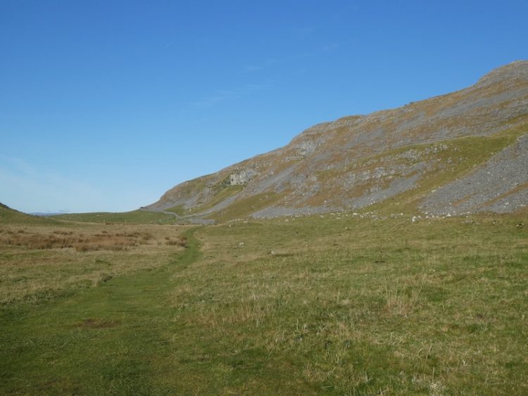
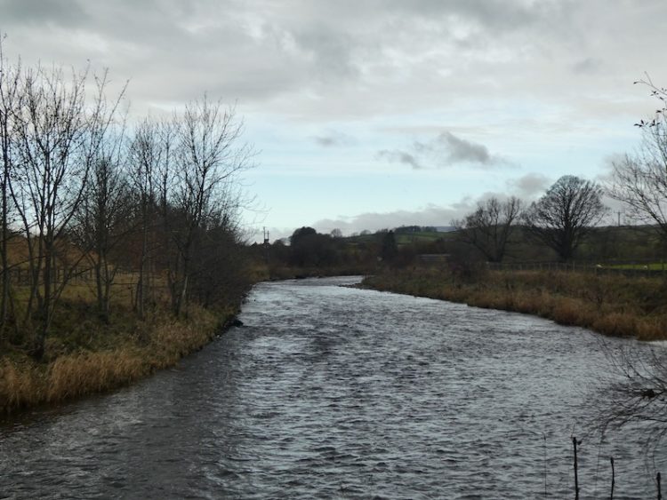
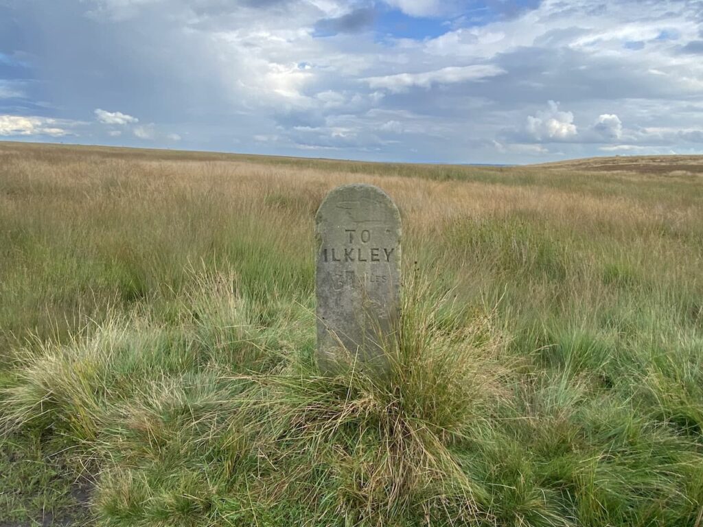
    After going through a gate we follow a clear track heading south across Bingley Moor. We go over Hog Hill and through Hog Hill Flat where we pass another milestone.  This route was part of the pack horse trail between Ilkley and Bingley and would have been a main communication link for hundreds of years

    We continue over moorland and then follow the path as it goes between walls descending gradually to the Otley Road and the Dick Hudson pub.

    We cross the busy Otley Road and wander around to the front of the pub.  It is years since we have been here.  It was a pub we used to visit as a family when I was child and over forty years ago, when I took Lynnie on her first trip to Yorkshire, we popped in for a pint.  It is tempting to have a sharp’ner for old times’ sake, however it is still too early in the day for a drink.

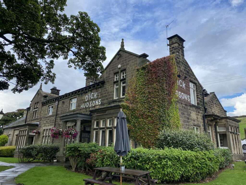
    Apparently there has been a pub in this area since the 17th century.  The original watering hole known as the Plough Boy was located a bit further along the Otley Road.  But when a new road was constructed the license moved to Highgate farmhouse which is the site of the current pub.  The pub became known as the Fleece Inn and it 1809 was purchased by Thomas Hudson.  After his death in 1850 his son Richard aka ‘Dick’ took over as landlord and the pub which was popular with workers from the textile mills in Airedale gained the name Dick Hudson’s.  Dick remained landlord until his death in 1878 but hopefully his name will remain synonymous with this spot for many generations to come.

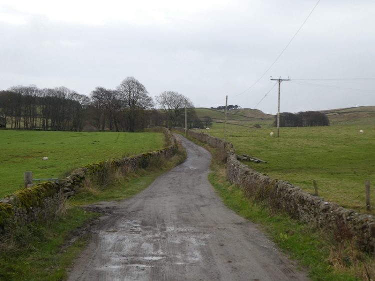
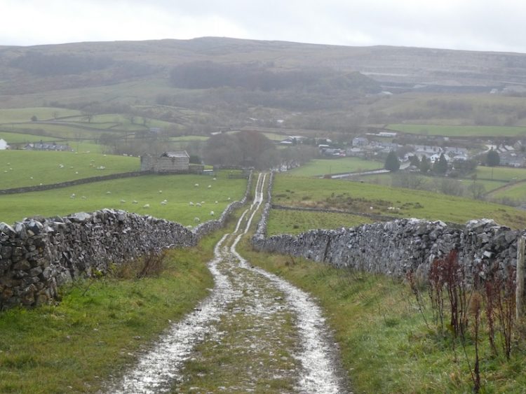
    We have a choice of routes here, both involving walking beside a road, we opt for the Otley Road heading south because it looks a bit quieter, but it is still too busy for comfort.  However, there is no other option to link the sections of the Dales Way Link.  Therefore, we are relieved to reach the footpath on our left leading up the driveway of Toils Farm.  After passing behind the farmhouse we continue on the way-marked path across fields to reach a tarmac lane.  After going over a wall stile we turn right on the lane following the Dales Way Link towards Shipley.

    On reaching the end of the tarmac driveway we go through a gate and follow the path across fields towards Golcar Farm.  After passing the farm the route joins a track leading to the Bingley Road which we cross to take the footpath marked Dales Way Link and Millennium Way.  This path leads around barns and continues besides Glovershaw Beck.

    The path takes us onto bracken covered moorland where we continue to head south on the Dales Way Link to reach a car park besides Glen Road.  We cross the road and follow a pathway uphill towards the caravan site at Dobrudden Farm.  It Is clear that this area of access land is well walked and we are chatting away so at a junction of paths I assume the worn route in front of us is the way to go.  It does take us up to the caravan site but it is a steep ascent that becomes less clear as we rise.  

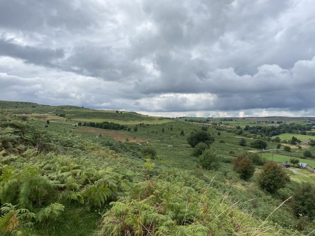
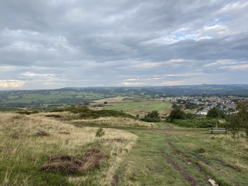
    Reaching the boundary wall of the caravan site we turn right on a clearer path.  We stop here to catch our breath and look back over Eldwick.  

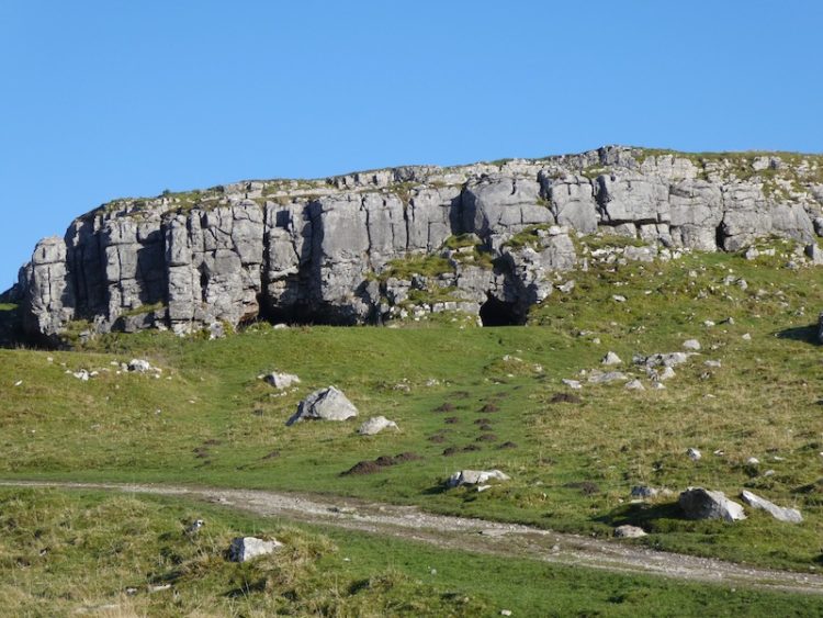
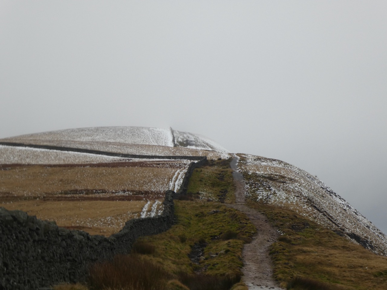
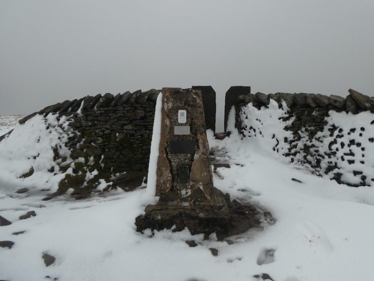
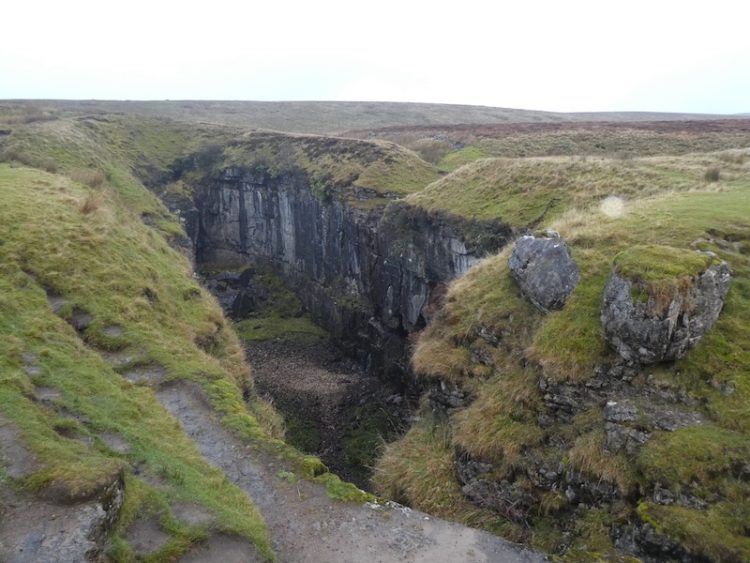
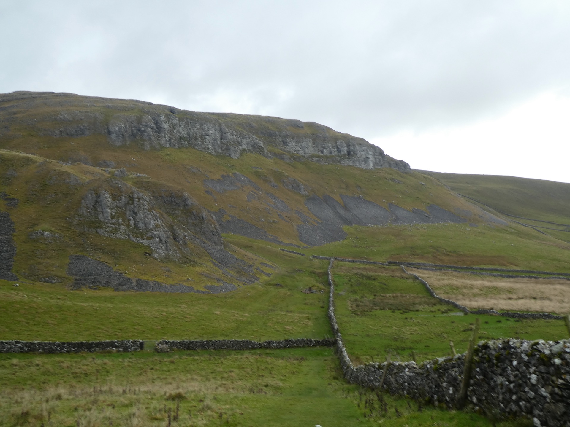
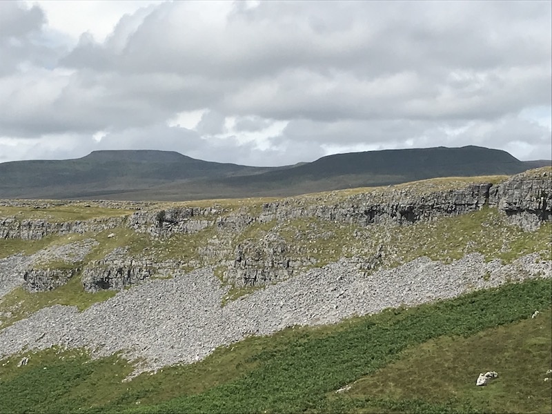
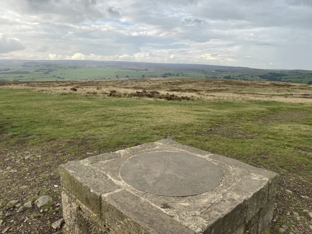
    There are a wide range of paths crossing Baildon Hill, we are aiming for the trig point on the summit so we continue a gradual ascent towards the top.  There is a long history of quarrying and coal mining on areas of the hill.  These where not the massive mechanised quarries, but small ones used to extract stone for building.  We arrive at the summit by a large fenced depression.  Later I check the Coal Authorities website and discover that this has only emerged in the last couple of years and has been fenced off because it is the site of old mine workings.   The Coal Authorities article records it as some subsidence and movement, I would call it a big hole!

    After looking at the subsidence, without getting too close to the edge, we wander over to bag the trig point, this is my 268th.  It has been painted white, but there are splashes of red paint around which is a pity.  It stands at 925 feet above sea level, this would be a pretty exposed spot on a winter’s day.  I try to recall if I have been here before, but nothing about this spot sparks a memory.

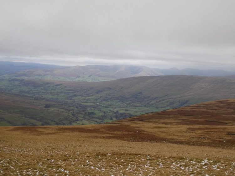
    Close to the trig is a toposcope.  We stop to look at points on the horizon, picking out places we  have visited, or plan to in the future.

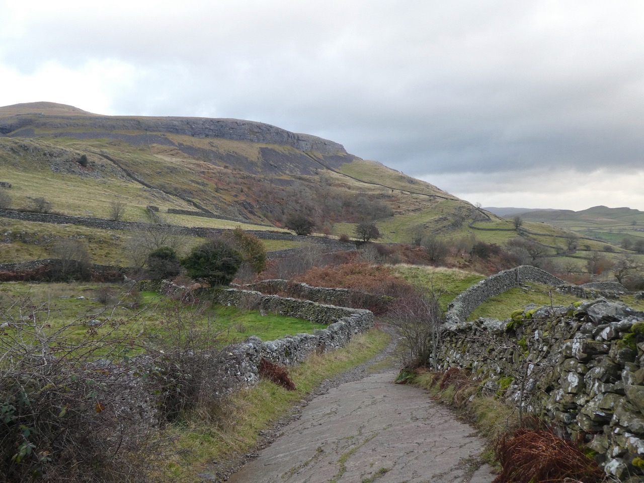
    Our route continues along the top of the hill heading east.  This path soon descends steeply towards Baildon Golf Course and then goes alongside a couple of holes and the club house.  This course was established in 1893 initially as the Bradford Golf Club, but when they moved in 1899 it became known as the Baildon Golf Club. Over the years the original seven hole course was developed into a full eighteen and the clubhouse was moved and then further developed.  During the First World War what is the 17th fairway was used as a practice firing range.  Then during World War II the course was considered an area of risk as a landing site for enemy gliders so tree trunks were sunk into the ground as a deterrent.

    Our route takes us to the Hawksworth Road where we turn left to follow a path besides the road heading back up to the car park on Baildon Common where we started our walk.  We have covered just over ten miles, littered with local history.  It has been a very enjoyable stroll apart from witnessing the grouse shoot and a short section besides a busy road. 

    You can view this 10.2 mile walk on OS Maps and download the GPX File Here

    To follow this walk you will need Ordnance Survey Explorer Map 297  Lower Wharfdale & Washburn Valley

    10th September 2021

    © Two Dogs and an Awning (2021)

    All information on this site is provided free of charge and in good faith and no liability is accepted in respect of damage, loss or injury which might result from it.  To the best of my knowledge the routes are entirely on public rights of way or within areas that are open for public access.
    Walking can be hazardous and is done entirely at your own risk.  It is your responsibility to check your route and navigate using a map and compass.

  • Twelve Apostles and the Cow and Calf

    Twelve Apostles and the Cow and Calf

    The last time we stayed at Hall Croft CL we had our old Labrador Dexter travelling with us and because he was unable to walk long distances I spent most of the trip heading out with Crosby whilst Lynnie and Dexter mooched around in Ilkley.  So on this trip I am keen to ensure that Lynnie joins me for a walk on Ilkley Moor including a trip to the Cow and Calf rocks.  Forty years ago, on our first trip to Yorkshire together, I took Lynnie to the Cow and Calf rocks, it was a spot I had visited frequently as a child.  

    Leaving the site we turn left and follow the pavement besides the A65 towards Ilkley.  As we enter the town we turn right, just after a set of traffic lights, to head up Victoria Avenue.  Continuing steadily uphill we stay on this road, which becomes Hollingwood Rise.  As the road sweeps to the right by the junction with Parish Ghyll Lane we take a footpath directly in front of us that continues uphill.

    The path emerges onto Queens Drive, here we cross the lane and continue on the footpath as it ascends on steps through the edge of Panorama Wood.  Emerging from the woods we join a lane and turn right, after passing a couple of properties we take a footpath on the left to reach the edge of the moor at an old metal kissing gate.

    On the moor we turn right and follow the directions towards the Swastika Stone and Addingham Moorside.  The route is now a clearly defined path as it rises steadily across the moor passing above Panorama Reservoir.

    The path continues to rise to reach the fenced Swastika Stone. This ancient carving is thought to date from the Bronze or Neolithic age, although the one visible today is a Victorian replica placed close to the original which was severely eroded.

    We continue along the path, which is part of the Dales High Way until we reach a drystone wall, we don’t cross through the wall, but instead take a clear path on the left heading steadily uphill with the wall on our right.

    We go through a gap in the wall and continue uphill to reach a boundary stone carved “N ILB 1893” apparently this relates to the Ilkley Local Board acquiring the moor in 1893 and opening it for public access, prior to this it had been in the ownership of William Middleton who in 1842 had sought to enclose the moor. Thanks to the foresight of the Council all those years ago this remains as open access land.

    From the boundary stone our route is to the east along the ridge, but first we decide to head west for a few hundred yards to look at another stone we can see.  This turns out to be a memorial stone to the crew of a Halifax Bomber DK185 which on 31st January 1944 whilst on a training exercise crashed into the moor.  The crew were all young men with all bar one coming from Canada. There were no survivors. 

    The memory of these brave men should always be kept alive and an inscription on the memorial records them: Pilot Officer Donald G McLeod RCAF, Pilot, aged 21, of Waterford, Ontario, Canada; Sgt Felix Byrne RAFVR, Flight Engineer, aged 20, of Plains, Lanarkshire, Scotland; Warrant Officer Lewis Riggs RCAF, Navigator, aged 20, of Toronto, Ontario, Canada; Sgt Robert H Rahn RCAF, Bomb Aimer, aged 22, of Waterloo, Ontario, Canada; Warrant Officer William G King RCAF, Wireless Op / Air Gunner, aged 27, of Teepers Creek, Alberta, Canada; Sgt George Martin RCAF, Air Gunner, aged 20, of Spanish, Ontario, Canada; and Sgt Albert Lorne Mullen RCAF, Air Gunner, aged 19, of Burnaby, British Columbia, Canada.

    From the memorial we turn and back and walk along the path passing the boundary stone and continuing west to reach a gate in a stone wall. Immediately after the gate we cross Black Beck and quickly fork right to follow a clear path heading steadily uphill towards Nob Stone.

    After passing the stone we continue on the path to reach a gate in the wall with a very impressive gate post.

    Through the gate we continue on the path until we reach a broad track.  This is the Keighley Road which runs as a track across the moor between Ilkley and Keighley.  We turn right and follow the track as it gradually ascends to the top of the moor.  To our right is Cowper’s Cross, thought to date from the 12th century, although the current cross is believed to be a replacement erected in the 18th century.  Over the years further renovations have been required when the cross was struck by lightning and then in 2007 vandalised by some idiots. The purpose of the cross is unknown, it may have been a marker post on the drove across the moor that followed the route of the Roman Road or used as a meeting place.

    From the cross we continue along the Keighley Road towards Whetsone Gate.  Just before reaching the gate we turn left on a path that heads up besides the Whetstone wireless station.  The route now follows flagstones across the moor to reach the Thimble Stones, I have passed these stones before but not stopped to look at them.  

    The map shows there is a boundary stone amongst the rocks.  It is not unusual for me to spend ages looking for a small boundary stone in dense undergrowth.  But this is one of the biggest boundary stones I have ever seen.

    Amongst the stones is also a cracking Ordnance Survey cut benchmark.  Over the last two years I have started “bagging” these old survey markings whilst out walking.  They proliferate the countryside and there are thought to be well over 500,000 still remaining.  They are far less obvious than OS Trig Pillars and because they were often cut into buildings many have been destroyed or are inaccessible.  To “bag” one like this on the moor is a real bonus.

    Back on the flagstone path we continue across the moor but soon spot carved stones besides the path.  These are flagstones inscribed with a poem “Puddle” by Simon Armitage, the current Poet Laureate, and placed on the moor in 2012 as part of a literary project.  This is one of six poems that adorn the moors between Marsden and Ilkley linked by a 47 mile route known as the Stanza Trail.

    We continue along the flagstone path, prior to its installation walking across this section of moorland must have been very challenging, because despite the dry weather there are still areas of bog either side of the stones.  In the distance we can see the top of Rombalds Moor Trig Pillar and Lynnie strides out to get there first.  I bagged this trig in 2019, it was my 146th, I have managed to bag a further 120 since then!

    We continue heading across the moor on the flagstone path. On 1 December 1987, Phillip Spencer, a retired policeman was walking across the moor prior to sunrise in foggy conditions.  He is said to have seen a creature approach him, which he photographed, it signaled to him not to come any further, he then saw a dome topped craft on the hill that soon shot away at speed.  I am sceptical of stories about alien sightings but have no doubt that Spencer was convinced about what he saw. The bit that really troubles me in this tale is how the alien knew how to signal stay away, presumably beings from other planets would have developed their own version of sign language which in all probability would be very different from the common signals we use.

    Our route now arrives at another boundary stone, this one is known as the Lanshaw Lad and it is marked with the now familiar WM and ILB carvings.

    At a junction of paths near to the boundary stone we turn right along a path that soon reaches the Twelve Apostles, this is an ancient stone circle thought to date from at least the bronze age.  Despite its name archaeologists believe there were probably at least twenty stones in the circle and about 100 years ago there are records of it being surrounded by a rubble bank.  The stones were reset in the mid 20th century and the circle has a diameter close to 16 metres.

    Soon after passing the stone ring we reach a junction of tracks, here we turn left to follow the broad track across Burley Moor heading towards stones on the horizon.

    The route takes us past Grouse Butts and then on our left is High Lanshaw Dam.  On reaching a junction of tracks we intend going left to cross the dam but first decide to walk the short distance to the stones on our right and stop for lunch.  Refreshed we return to follow the path across the dam. This is the highest of three small reservoirs, apparently they were originally built for Urban District Council, later operated by the Rombalds Water Board and eventually Yorkshire Water.

    We follow the track in a northerly direction towards rocks at Green Crag, once again there is a boundary marking on the stones with WM (William Middleton) 1785 and ILB (Ilkley Local Board) 1893 carved on it.

    We now head in a north westerly direction and continue on this route across a faint path to reach a clear stony path where we turn left heading towards the Pancake Stone.  This path follows the contour of the hill with the Cow and Calf Hotel below us to the right.  

    This is a popular area for people to walk and there is a network of paths created through the bracken.  We wait until we are nearly above the Cow and Calf rocks before turning right and heading steadily downhill to reach this iconic spot.  Before heading down to walk between the Cow and Calf we wander around on top of the stones and pass over the top of a disused quarry.

    The stone was quarried here in the 19th century when Ilkley boomed as a spa town.  It is interesting wandering around the top looking at all the engravings on the stones.  Some are recent whilst others go back a long time.  I have never felt the urge to carve my name into a rock or tree, but it does make you wonder about the story behind some of the folk that spent time here leaving their mark.

    As we head back along the top of the old quarry we see a chap scaling the side and then as we go down and around the front on the path between the Cow and Calf there is a woman in a Hi-Viz jacket, I enquire what is going on.  Apparently they are preparing to film a major Netflix series and the chap is removing the graffiti from the rock face.  She is very coy about the production and who the stars are. But given that I watch so little TV I doubt that I would have heard of either.

    The path leads between the Cow and Calf.  It is well over fifty years since I first visited this spot.  We frequently came and played here when we were visiting family friends in the area.  Just being here brings back many happy memories, so it was hardly surprising that when I first brought Lynnie to Yorkshire, forty years ago, we came here. 

    These stones are also known as the Hangingstone Rocks and legend has it that the Cow and Calf were formed when the giant Rombald was fleeing an enemy and stamped on the rocks and the calf split from the cow. 

    We follow the path and to Lynnie’s dismay it leads us back to the point we were previously at at the top of the stones.  Here we turn left and take an attractive route through woodland.

    Emerging from the trees the path descends steeply towards Backstone Beck.  As we head downhill there are some cracking views.

    After crossing a footbridge over the beck we continue along a path to reach The Tarn.  An information board provides a history to this attractive spot.  Originally known as Craig Dam it was a marshy area feeding working mills towards the centre of Ilkley.  In 1873 a group of local gentlemen met and derived a plan to turn the area into a pleasant place to visit.  Soon brass bands were playing at the weekend for the entertainment of visitors. Then in 1903 a religious group known as the Pleasant Sunday Afternoon started holding meetings here.

    In 1904 a chap called Cooper presented his ‘Pierrot’ performers here, but they were deemed  more suitable to seaside entertainment and too vulgar for Ilkley.  So I am not sure what the local gentlemen would have made of Mrs. Pankhurst and her ‘Women’s Social and Political Union’ meeting here on 8th June 1908.

    Lighting was installed around the Tarn in 1931 and a fountain was installed on the island which was fed by gravity from the moor. Sadly that feature has long gone.  However, this remains a peaceful spot and the tarn is surrounded by benches for folk to sit and relax.

    We continue on the path heading down towards Ilkley and pass the longest bench I can recall seeing.  This was placed here before social distancing became the norm and is in memory of Professor Delia Davin who was a Sinologist.  Not sure what a Sinologist is I later look it up to discover she studied Chinese language, literature and history.

    In Ilkely we wander into the centre of the town and then turn left to walk along the pavement besides the A65 to lead us back to Hall Croft CL. 

    You can view this 11.5 mile walk on OS Maps and download the GPX File Here

    To follow my walk you will need Ordnance Survey Explorer Map 297 – Lower Wharfedale & Washburn Valley

    9th September 2021

    © Two Dogs and an Awning (2021)

    All information on this site is provided free of charge and in good faith and no liability is accepted in respect of damage, loss or injury which might result from it.  To the best of my knowledge the routes are entirely on public rights of way or within areas that are open for public access.
    Walking can be hazardous and is done entirely at your own risk.  It is your responsibility to check your route and navigate using a map and compass.

  • From Settle to Winskill and Sugar Loaf

    From Settle to Winskill and Sugar Loaf

    We are nearing the end of our current trip to Brigholme Farm CL, but still have time to fit in another of our favourite walks from the site.

    Leaving Brigholme Farm CL we turn right and head into Settle and leave the centre of town by Constitution Hill soon joining the walled footpath as it heads steadily uphill on the route of the Pennine Bridleway.

    Passing through a gate we stay on the bridleway as it continues below Blua Crags.  After passing through another gate we enjoy a stunning view of Langcliffe Quarry with Pen-y-ghent behind it.

    As the main path veers uphill to the right we take a path heading downhill to go through a gate and then continue to descend into Langcliffe. We enter the village besides the old school, which is now being converted into a private dwelling, and turn right to take a path heading north.  From the village we join a drystone walled track towards Langcliffe Quarry.

    We ignore footpaths to our left and stay on the track with the disused quarry becoming evermore prominent in front of us. At a gate we enter a field of pasture and follow the path as it runs close to the wall and then starts to climb besides the quarry. 

    It is a short steep ascent to reach pasture land.  When we have visited here in the Spring it is an abundance of wild flowers.

    After going through a wall gate we turn right on the track and head up to Upper Winskill after going through a gate besides a cattle grid we turn right on the farm driveway and follow this back towards a minor road. 

    We join the road and turn right, soon passing a cattle grid and within a hundred yards take a grassy track on the left leading across access land to a gate in the wall. 

    After crossing the wall we continue to a junction of paths where we turn left and head up to a ladder stile.  On the far side we join a track close to Jubilee Cave and turn right.

    As we near a farm gate we fork left to go through a kissing gate and follow the path besides a drystone wall.  To our left is Brent Scar and we soon pass Victoria Cave and continue along to another kissing gate. The path now goes below Attermire Scar towards a gate in the wall.

    After going through the gate we descend and cross a couple of ladder stiles and then head south to walk besides Sugar Loaf hill.  The path descends to reach a ladder stile.  After crossing we join a track, Stockdale Lane and head down to a minor road, High Hill Lane.  We turn right along the road and after a few hundred yards take a track on the left, Lambert Lane. 

    I have walked this lane a lot during this stay, but this is the first time in this direction.

    At the end of the lane we join Mitchell Lane and follow this as it heads steeply downhill towards Settle.  Our walk has covered just over eight miles; it has been a cracking afternoon to be outside.  Now it is time to start the preparations for our journey back home tomorrow.

    To follow my walk you will need Ordnance Survey Explorer Map OL2 – Yorkshire Dales [Western Area]

    You can view this 8 mile walk on OS Maps and download the GPX File Here (Subscription to OS Maps Required)

    18th November 2019

    © Two Dogs and an Awning (2019)

  • Reaching 2,019 “Boots On” Miles

    Reaching 2,019 “Boots On” Miles

    It’s 319 days into my challenge to walk 2,019 miles in 2019 to raise funds to support the Trussell Trust and today I should reach my goal.  It became apparent a few weeks ago that I would reach my mileage target in November; it dawned on me that with a little effort the feat could be achieved on one of my favourite walks up Ingleborough.    It would be expecting too much to actually hit 2,019 miles at the summit of Ingleborough, but it will be close to it.

    My walking buddy, Mandy, joins me on today’s walk.  Over recent years we have walked together in various parts of the country, but this will be her first time walking Ingleborough.

    After parking in the Yorkshire Dales National Park car park we start by turning right up Church Avenue, staying on the road to pass the Church of St James.  After crossing a bridge we turn right and stop at the viewing platform for Clapham Falls.  The recent heavy rain has made this an impressive sight.

    Leaving the village the route enters the Ingleborough Estate Nature Trail; there is a machine to buy a ticket for the route through the estate.  Years ago when Lynnie and I first did this walk you started alongside the sawmill and dropped your money into an honesty box.  

    The path quickly rises and then levels as it passes the man-made lake on the Estate.  This was created in the 19th century to provide drinking water to the village and drive the water turbine installed to provide electricity for some grand properties, the church and street lighting.

    We pass The Folly and continue on the track to go through a gate and follow the path besides the beck, going by the entrance to Ingleborough Cave.  This show cave is open to the public and apparently gives access to a 500-metre passage. 

    Alongside the cave, water emerges from the rock face.  It has come off Ingleborough, down Fell Beck and then fallen into Gaping Gill.  The waterfall from Fell Beck to the bottom of Gaping Gill is the tallest unbroken waterfall in England with the water falling 322 feet, however to see it properly you have to descend into the pothole. 

    We follow the track and go through two gates to reach the gorge of Trow Gill, this is a cracking spot.   We clamber up through, taking care on the rocks that are worn smooth by walkers’ hands and feet and made more precarious today as they are damp.

    At the top of Trow Gill we follow the rock-strewn path besides a wall. 

    After going through the wall gates we follow the clear path towards Gaping Gill.  I usually detour away from Gaping Gill to start the ascent of Ingleborough, but Mandy has not been here before and is keen to see this huge pothole. 

    Resuming our walk we follow the well-used path up Little Ingleborough.  It is covered in cloud and I am worried that when we reach the summit of Ingleborough itself we will not get the views I have promised Mandy.

    This is a good steady climb, as we go up the cloud appears to be lifting and we get stunning views behind us.

    After reaching Little Ingleborough we follow the well-defined route across the ridge before the final ascent to the top of Ingleborough itself.  At the summit there is the obligatory photo by the trig point and then we wander over to look out over Ingleton.

    We hen head back across the summit to view Whernside and the Ribblehead Viaduct.

    We descend by clambering down the rocks to take the Three Peaks path towards Horton this is a long steady descent with cracking views of Pen-y-ghent in front and extensive views of limestone pavement.  

    Our route goes through a short section of limestone pavement and we continue on the Three Peaks path ignoring paths to the left and right.  After going through a gate at Sulber Nick we continue for 250 yards to reach a junction of paths.  Here we turn right, and head south on a path through the pasture to reach a gate in the wall.

    We now follow the path besides the wall to reach a ladder stile, which we cross and follow a well worn path as it heads in a westerly direction through limestone pavement with occasional grouse butts.

    At the edge of Moughton Scar we stop to take in the stunning view over Crummack Dale  

    We now follow the grass path as it descends to a gate and then follow the track as it continues to head down hill with a drystone wall to our right.  As the track bends we ignore a footpath to the right but continue on to go through a gate.  Walls on both sides now line the track and we stay with it until reaching another track.  Here we turn right and walk down to reach Austwick Beck.

    A notice board explains that this part of the stream is known as the Wash Dub.  Prior to the introduction of chemical sheep dips the process of ridding sheep of parasites was to wash them by immersing them in water and giving them a good rub.  Local farmers would band together to help each other; the beck would be damned and the sheep driven down from nearby pastures.

    It is at this point that my total mileage for the year reaches 2,019.  A cracking spot to achieve my goal. 

    We cross the beck and continue on the track to reach Crummack Lane, where we turn left and head south for a mile.  On reach a crossing of tracks we turn right into Thwaite Lane and follow this wall lined stony track as it heads west with the impressive Robin Proctor’s Scar to our right.

    We stay with the track as it descends through tunnels to reach Clapham besides the church of St James.  From here it is a short stroll back to our starting point.  Our walk has covered 13.5 miles and I can think of no better place to have reached my 2,019-mile target for the year.  

    To follow my walk you will need Ordnance Survey Explorer Map OL2 – Yorkshire Dales [Western Area]

    You can view this 13-mile walk on OS Maps and download the GPX File Here (Subscription to OS Maps Required)

    15th November 2019

    © Two Dogs and an Awning (2019)

  • Along the Ribble Way to Attermire Scar

    Along the Ribble Way to Attermire Scar

    Today’s walk is a variation of the walk I did a few days ago when I visited Attermire Scar and Victoria Cave.  This route takes in an attractive section of the Ribble Way before heading up to Victoria Cave.

    I leave Brigholme Farm and turn right and within a couple of hundred yards take the footpath on the right joining the Ribble Way as it crosses a field to head towards the River Ribble. The route follows close to the river, passing behind barns on Brigholme Farm to enter another field. 

    The route follows close to the river, passing behind barns on Brigholme Farm to enter another field

    The path hugs the river as it goes through a gate into a spinney and then turns to run parallel to the A65.

    Approaching a road bridge over the river I turn right over a ladder stile to climb the embankment and then cross the river on the pavement besides the A65. On the far side of the bridge I take a footpath on the left leading down the embankment and once again joining the river.  I turn right and follow a farm track as it sweeps away from the river heading towards Runley Mill.

    river heading towards Runley Mill

    On reaching the B6480 I cross and continue on the track opposite, Lodge Road.

    Lodge Road.

    The track climbs steadily to reach Lodge Farm and after going through a gate I turn left and at a fork in the track take the right option. 

    Lodge Farm

    I go through a gate and walk along the track by a plantation and then at a second gate follow the walled track.  At another gate I keep straight ahead keeping Black’s Plantation to my right. At the junction of Mitchell Lane and Lambert’s Lane I fork right into Lambert’s Lane and follow this walled track, enjoying the views.  

    Black’s Plantation

    Reaching a road I take a right turn and then shortly a left onto Stockdale Lane.  In a few hundred yards at the bend I go over a ladder stile to follow the path as it gradually climbs up alongside the wall.   

    Attermire Scar

    I head over Sugar Loaf Hill; now in front of me are wonderful views of the spectacular escarpment of Warrendale Knotts and Attermire Scar. 

    Warrendale Knotts and Attermire Scar

    My route continues under Attermire Scar, with views back to Pendle Hill.

    Attermire Scar, with views back to Pendle Hill

    After passing Victoria Cave I go through a kissing gate I turn left and go through a gate on a farm track to descend downhill to another gate. 

    I then take the path on the left way-marked the Pennine Bridleway.  Now it is case of following the path across a couple of fields below Blua Crags before descending on a walled track to return to Settle and then back to Brigholme Farm.  It has been another cracking walk covering just over seven and a half miles. 

    To follow my walk you will need Ordnance Survey Explorer Map OL2 – Yorkshire Dales [Western Area]

    You can view this 13 mile walk on OS Maps and download the GPX File Here (Subscription to OS Maps Required)

    14th November 2019

    © Two Dogs and an Awning (2019)

  • Ling Gill and Cave Hill

    Ling Gill and Cave Hill

    Over the years I have walked many of the footpaths in this area of the Yorkshire Dales and visited a lot of the OS Trig Points, but there is a trig on Cave Hill I have had my eye on “bagging” for some time.  So that’s where Lynnie and I are heading today.

    The starting point for our walk is the parking area besides the Blea Moor Road (B6255) close to Ribblehead Viaduct (Grid Reference: SD765793).  Leaving the car we head northeast following the line of the road, this used to be the main Lancaster to Richmond road and we soon pass a milestone.

    We continue besides the road to pass Gearstones and then on reaching the entrance to Far Gearstones Farm we take the Dales Way footpath on the right, which leads to a track through a field and then turns towards Gayle Beck. 

    After crossing the bridge over the beck we start the long gradual ascent on Cam High Road, this is an old Roman Road heading towards Hawes.  It is a mizzly day so there is not much of a view back down the dale to Ribblehead Viaduct.

    On reaching a junction of paths where the Dales Way meets the Pennine Way we turn right towards Old Ing.

    This is a clear track heading south across the moor.  The visibility is deteriorating so we can see little apart from the surrounding moorland and the clear track we are following.

    Staying with the Pennine Way we reach Ling Gill Bridge, we have never been here before it is a cracking spot.

    After crossing the bridge we continue south besides the deep gorge of Ling Gill.  There is a fence and warning signs not to enter the nature reserve, we can just about make out the steep sides of the gorge and even if access were possible I don’t think I would be tempted to enter.

    After passing a disused quarry we take a detour from our main route to head up the Access Land of Cave Hill on a faint track.  It is a short steep ascent but we are rewarded with some fine views when we reach the Ordnance Survey Trig Pillar, this is the 187th I have “bagged”.

    Leaving the trig point we return by the same route to rejoin the Pennine Way and resume our walk.  As the access land ends we stop to look over the wall at the beck as it disappears into what is known as Calf Holes.  Apparently this is an entrance to a cave network that reappears at Browgill Cave.

    As we near Old Ing we ignore a path on the right and stay with the Pennine Way heading east.

    As you might expect on a National Trail this route is clear and easy to follow.

    We reach an area of access land and head steadily uphill to reach a junction of paths.

    Now we turn right and head south, still on the Pennine Way.

    On reaching a sign for the Three Peaks path we turn right leaving the Pennine Way and going through a kissing gate to follow the well-made path.

    This part of the walk is familiar to me because I have walked the Three Peaks on a number of occasions, but it is the first time Lynnie has been here.  

    The route is now very straightforward we are going to follow the well-marked Three Peaks path back to Ribblehead.  

    We make good progress stopping briefly when we reach God’s Bridge.

    We pass Nether Lodge and stay with the Three Peaks Path to follow a well-made track to Ingman Lodge.

    After passing Ingman Lodge, an interesting building dating back to 1687 and still part of a working farm, we continue up the track to reach a road, the B6479, here we turn right.  This section of the walk follows the road and needs to be tackled with caution.  Forming part of the Three Peaks route it is frequently used by walkers, but there are parts where there is no other option than to walk on the road with little space to step onto the verge.  Fortunately there is not a lot of traffic and the majority of vehicles passing seem aware that this is an area where they may encounter walkers.

    Reaching the car the cloud lifts and we get a good view of the Ribblehead Viaduct.  Over the last forty years I must have taken hundreds of pictures of this viaduct, this does not stop me adding another one to the photo library.

    Our walk has covered just over ten miles and has been really enjoyable.  I look forward to repeating it on a day when the visibility is better and there is an opportunity to appreciate the views.

    To follow my walk you will need Ordnance Survey Explorer Map OL2 – Yorkshire Dales [Western Area]

    You can view this 10 mile walk on OS Maps and download the GPX File Here (Subscription to OS Maps Required)

    13th November 2019

    © Two Dogs and an Awning (2019)

  • Walking Up a Snow Covered Whernside

    Walking Up a Snow Covered Whernside

    I am walking on my own again today and plan to ascend Whernside, a regular walk I undertake when we are in this area.  Overnight we had some wintery conditions and as I drive towards Ribblehead Viaduct there is snow capping the peaks of Ingleborough and Whernside.

    My starting point is from the roadside parking at Batty Green (Grid Reference: SD765793). I take the path towards the Viaduct.

    After going under the arches of the viaduct I continue on the track through Gunnerfleet Farm and then carry on along the tarmac drive alongside Winterscales Beck heading towards Winterscales Farm.

    At a junction of paths I turn left towards Ivescar and ignore the stile leading up the steep side of Whernside.  From the track there is a view of the snowy summit of Whernside shrouded in cloud.

    After passing a farm at Ivescar I continue across a couple of fields.

    After going through Broadrake I head across another field, from here there are cracking views of Ribblehead Viaduct.

    I turn right at Bruntscar joining the Three Peaks path heading towards Whernside. 

    This is initially a steady upward route, with the occasional steeper section. It is only after passing through a gate that the really steep climb is encountered.  This year a lot of work has been done on this ascent and new steps have been put in, but it is still a tough climb to reach the ridge.

    Once on the ridge I turn right and follow along it, still upwards on the snow covered path through the low cloud.

    Finally reaching the summit of Whernside I stop for the obligatory photograph, I have “bagged” this trig point many times, but it is the first time I have been here in the snow.

    It is too chilly to hang around, at 2,415 feet above sea level with no protection from the cold wind I am soon continuing along the ridge.

    All of a sudden the cloud lifts and I get a stunning view of Dentdale.

    I am now on my descent following the clear Three Peaks path.

    At the junction of paths I turn right to descend Slack Hill.

    On reaching a gate I stop to admire the waterfall at Gill Force, the recent wet weather has swelled the volume of water flowing.

    Soon after the path goes over the aqueduct at Blea Moor.

    I follow the path with the railway on the right and go by Blea Moor signal box.  In the distance in front of me is Ingleborough.

    The clear path carries on towards Ribblehead Viaduct.

    Now it is just a short walk back to my starting point. 

    This walk has covered 8 miles, I have walked this route a number of times, but this is the first time I have encountered snow.

    [To follow our walk you will need Ordnance Survey Outdoor Leisure Map OL2 – Yorkshire Dales – Western Area]

    You can view this 8 mile walk on OS Maps and download the GPX File Here (Subscription to OS Maps Required)

    12th November 2019

    © Two Dogs and an Awning (2019)

  • Along the Pennine Way to Hull Pot

    Along the Pennine Way to Hull Pot

    Now that Dexter is getting older we have to manage the distances he walks, if it is not too hot he can still clock up a few miles, but his days of long distance walks are sadly over.  I thoroughly enjoyed my morning walk with Crosby and Lynnie is keen to get out for a few miles this afternoon so we head off to Horton in Ribblesdale.

    Our walk starts from the Yorkshire Dales National Park car park in Horton in Ribblesdale (Grid Reference: SD807725).  Leaving the car park we turn right along the road soon passing the Pen-y-ghent Café, which appears to have closed down.  We cross the road to take the track that leads past Horton Scar.

    The skyline to our right is dominated by the Pen-y-ghent.

    At the crossroads of footpaths we walk straight on towards Hull Pot. I have previously written about Hull Pot, it is a huge pothole that suddenly appears on the track.  

    We turn around and retrace our steps to the crossroads of paths and turn right to climb over Whitber Hill.  It can be bleak up here, today there is a bit of mizzle but we have been here when the visibility has been very poor.  We are grateful for the well-defined path (that forms part of the Three Peaks Walk).

    Crossing the Sell Gill Beck, we continue until we reach a junction of paths and turn left onto the Pennine Way signposted to Horton in Ribblesdale.  Soon we meet Sell Gill Beck again.  In the past we have seen people potholing here, not something I would ever fancy doing.

    The route is now very straightforward we follow the track as it steadily descends towards Horton in Ribblesdale.  

    Back at the car park our walk has covered just over four and a half miles, which is just about right for Dexter at the moment.  It is now time to head back to the caravan and start planning tomorrow’s walk.

     [To follow our walk you will need Ordnance Survey Outdoor Leisure Map OL2 – Yorkshire Dales – Western Area]

    You can view this 4.5 mile walk on OS Maps and download the GPX File Here (Subscription to OS Maps Required)

    11th November 2019

    © Two Dogs and an Awning (2019)

  • Revisiting Attermire Scar

    Revisiting Attermire Scar

    I am near to hitting my target of walking 2,019 miles in 2019.  This is the second year that I have “walked the year”; last year I reached 2,018 miles on the Quantock Hills a favourite spot for me.  This year I plan to complete my quest whilst walking in the Yorkshire Dales and hopefully somewhere near the summit of Ingleborough.  

    After a near 300-mile journey yesterday we arrived at Brigholme Farm CL in the dark.  It is the measure of our confidence in caravanning that we no longer worry about pitching up in the dark, levelling the van and erecting an awning by the light of a head torch.  Soon we were snug inside the van.

    After yesterday’s driving I am reluctant to go far in the car, so soon after breakfast I am heading off with Crosby for a walk from Brigholme Farm CL.  Leaving the site I turn right along Station road and then after crossing the Penny Bridge I take a right turn into Cammock Lane. At a crossroads I go straight across into Ingfield Lane and stay on this lane as it forks right, then within a few hundred years I turn right along Brockhole Lane, which understandably is known locally as Watery Lane.

    I follow this dry stone walled lane until the end, ignoring footpaths on the left and the right.  At the end of Brockhole Lane I turn left onto Lodge Road, despite its name this “road” is actually a track that heads uphill towards Lodge Farm. 

    At the top of the lane I reach Lodge Farm and after going through a gate I turn left and at a fork in the track take the right option. 

    I go through a gate and walk along the track by a plantation and then at a second gate follow the walled track.  At another gate I keep straight ahead keeping Black’s Plantation on our right.

    At the junction of Mitchell Lane and Lambert Lane I fork right into Lambert Lane and follow this walled track, enjoying the views.  

    Reaching a road it is a right turn and then shortly a left onto Stockdale Lane.  In a few hundred yards at the bend I go over a ladder stile to follow the path as it gradually climbs up alongside the wall.   

    I head over Sugar Loaf Hill; now in front of us is one of my favourite views in the Dales, the spectacular escarpment of Warrendale Knotts and Attermire Scar. 

    From here my route is under Attermire Scar, passing Victoria Cave.

    After going through a kissing gate I turn left and go through a gate on a farm track to descend downhill through another gate.  I then take the path on the left way-marked the Pennine Bridleway. 

    Now it is case of following the path across a couple of fields below Blua Crags before descending on a walled track to return to Settle and then back to Brigholme Farm.  It has been a cracking wander covering just over seven miles. 

    To follow my walk you will need Ordnance Survey Explorer Map OL2 – Yorkshire Dales Southern & Western

    You can view this 7 mile walk on OS Maps and download the GPX File Here (Subscription to OS Maps Required)

    11th November 2019

    © Two Dogs and an Awning (2019)

  • Trig Bagging at Moughton Scar and Sulber

    Trig Bagging at Moughton Scar and Sulber

    We are nearing the end of this trip to Brigholme Farm CL and there are still some Ordnance Survey trig pillars in the area that I have not “bagged” and as luck would have it a visit to them can be combined with a walk in Crummack Dale.
    (more…)