Category: Yorkshire

  • On Horton Moor

    On Horton Moor

    The hot weather has settled in so we have planned another shortish walk today to ensure Crosby is fine.  Yesterday afternoon we tried again to walk to Winskill but after a couple of miles he started limping so we abandoned our walk.  However, earlier today on his morning walk he was absolutely fine.

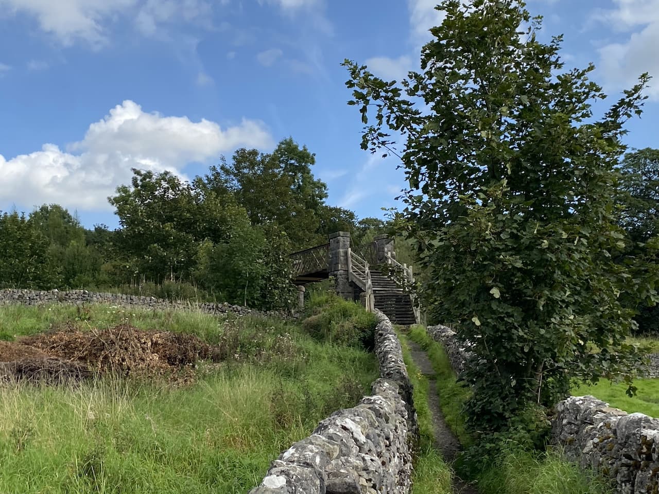
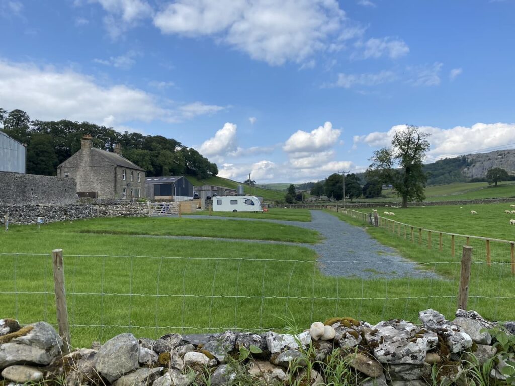
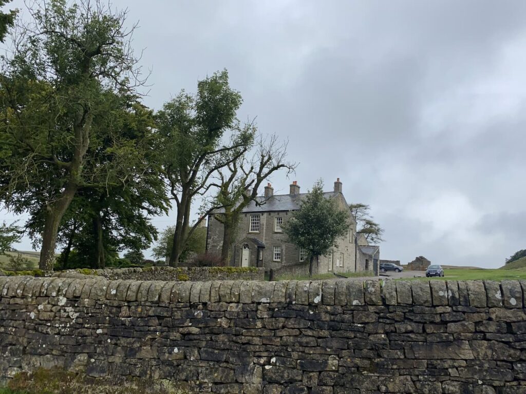
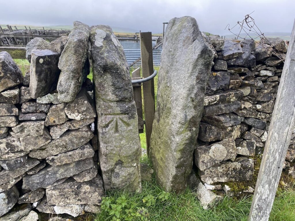
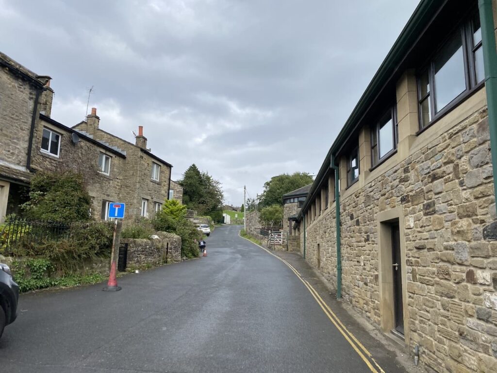
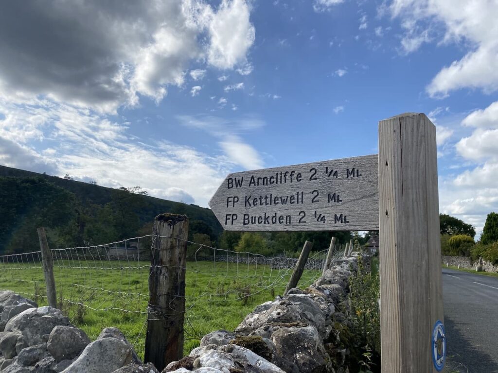
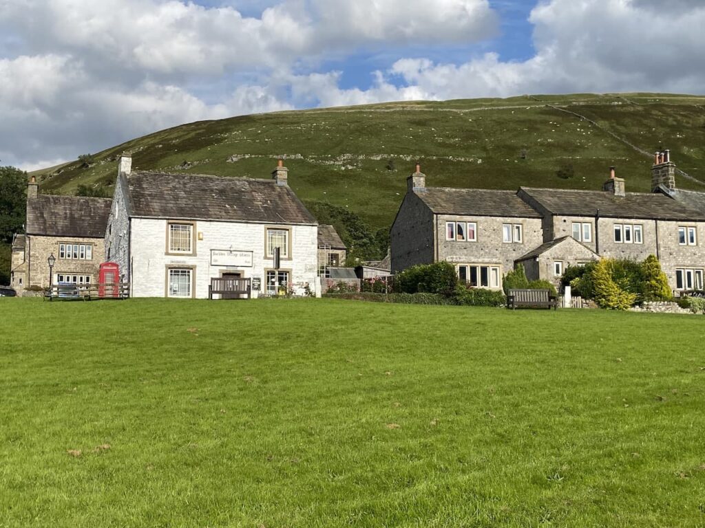
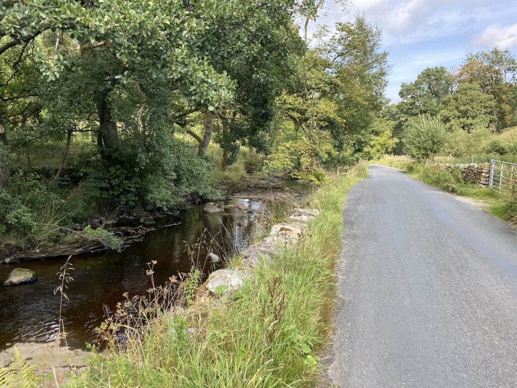
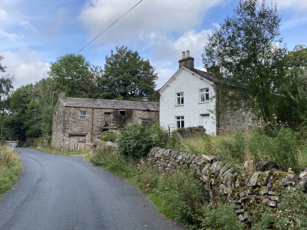
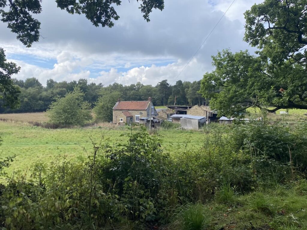
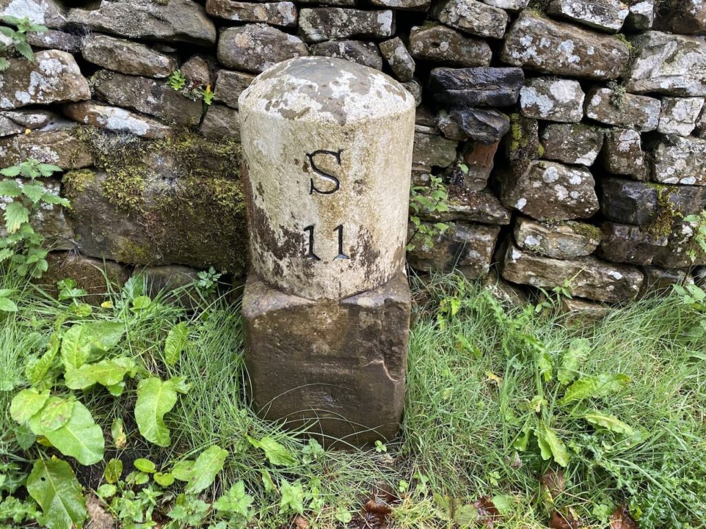
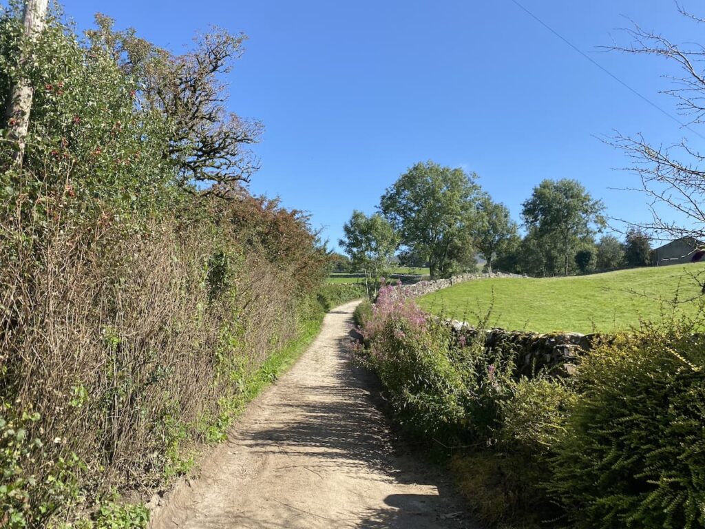
    The starting point for today’s walk is Horton in Ribblesdale.  Being a Monday it is relatively quiet in the village and we start our walk by heading through the village to pass the now closed Pen-y-Ghent cafe.  At a finger post for the Pennine Way we cross the road and follow a lane passing properties.

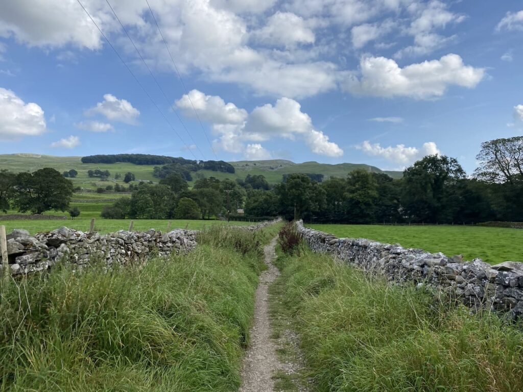
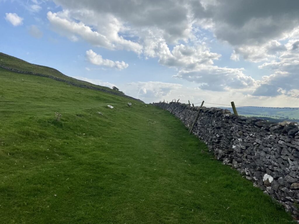
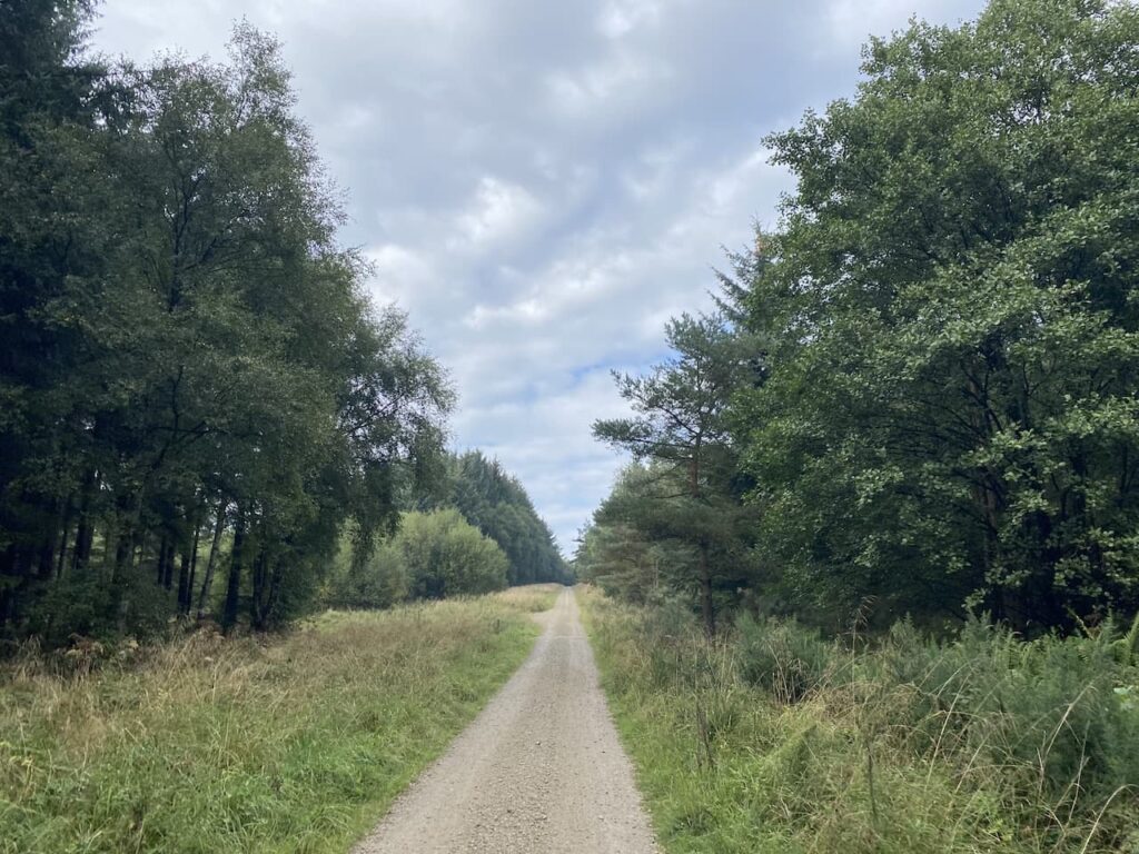
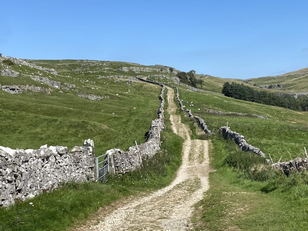
    At a junction of tracks we turn to the left and follow the track as it gradually goes uphill.

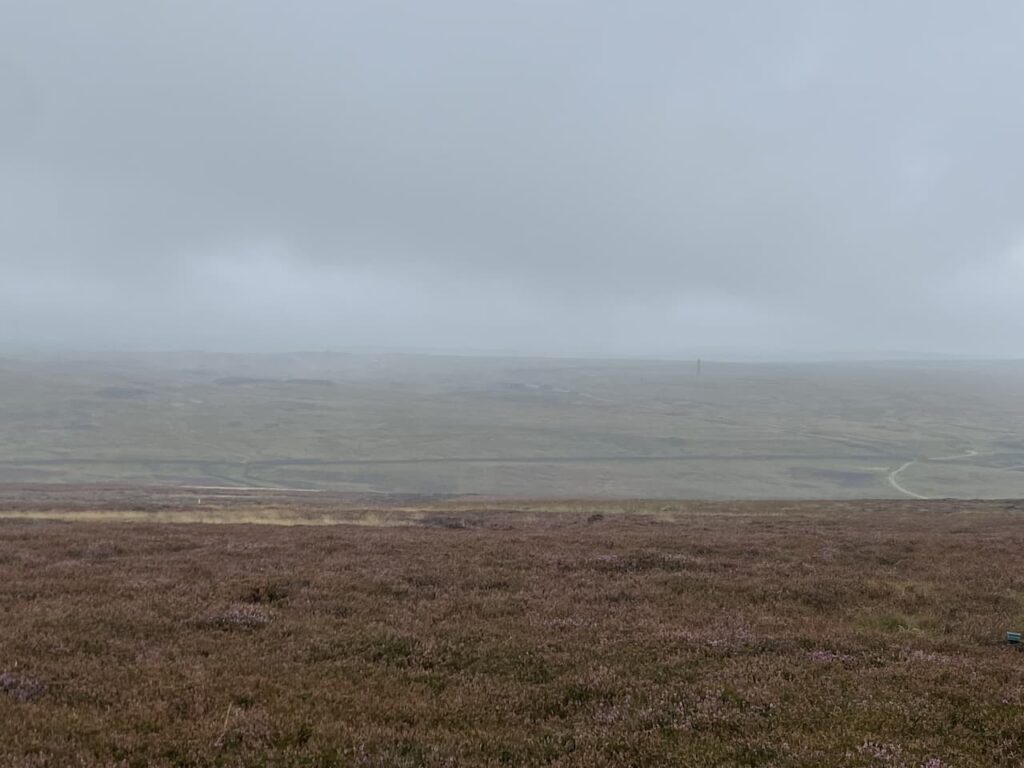
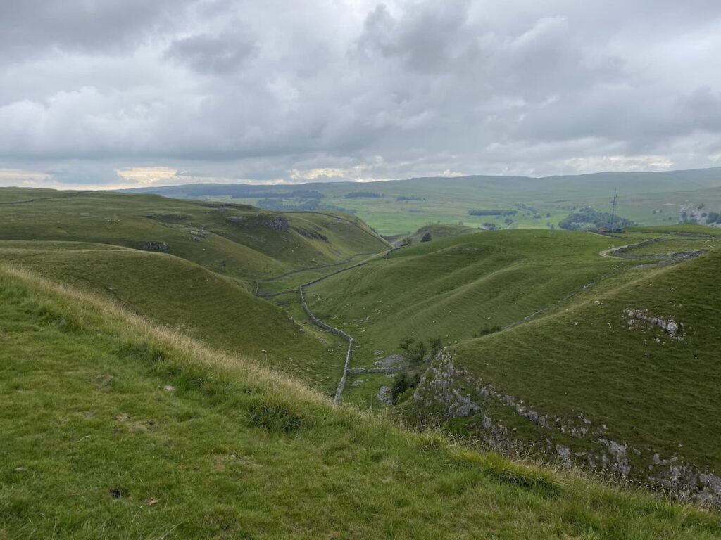
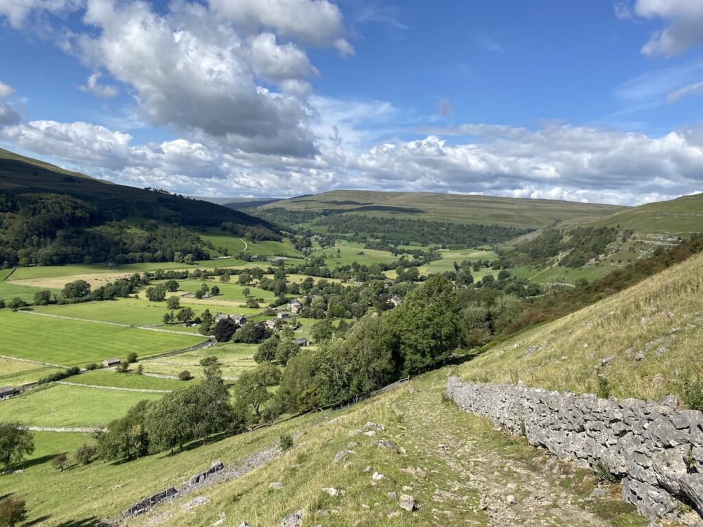
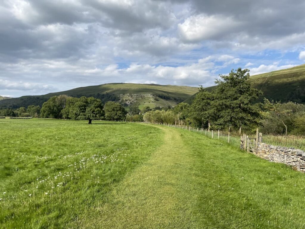
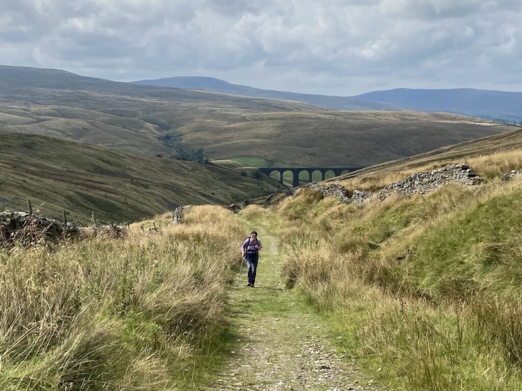
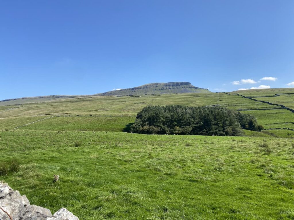
    It is a stunning day and this is a cracking path to be walking along.  Away to our right Pen-y-Ghent dominates the view.

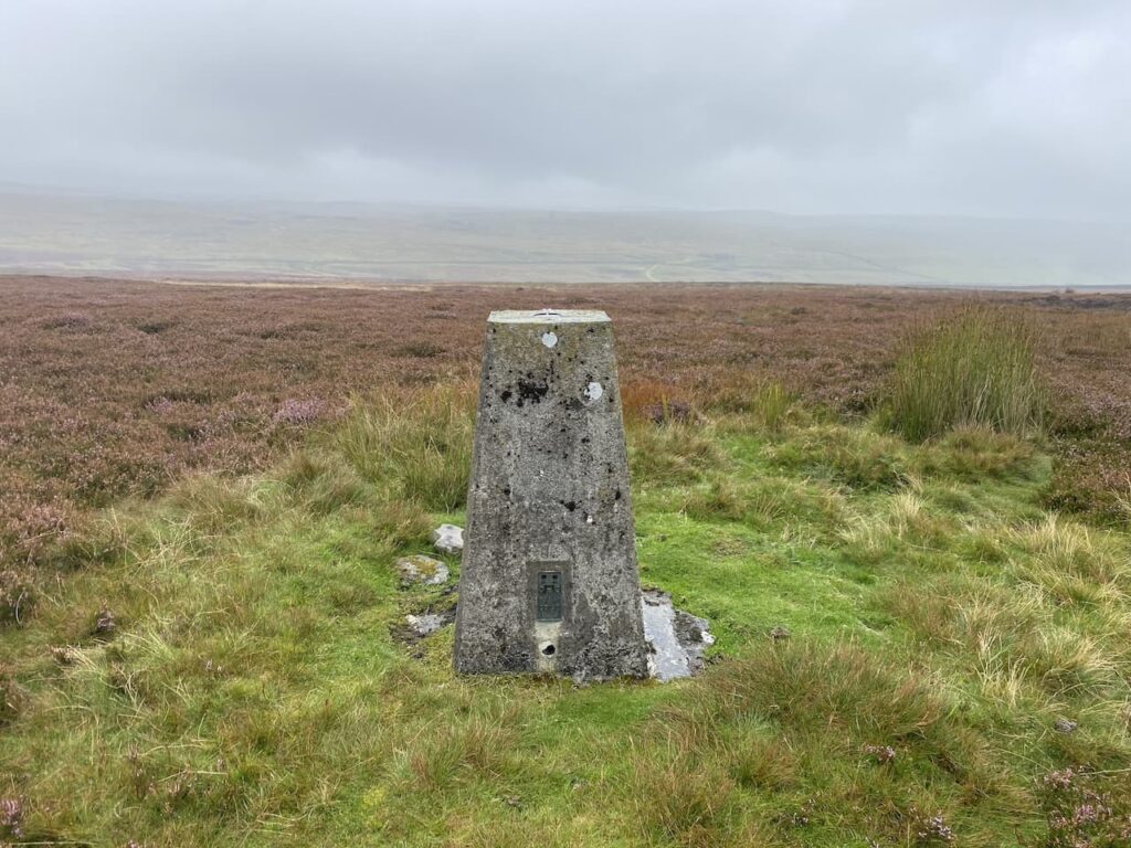
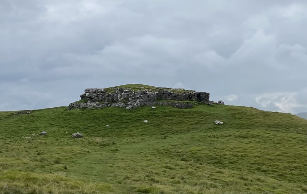
    The track leads us towards the limestone outcrop at Stot Rakes.

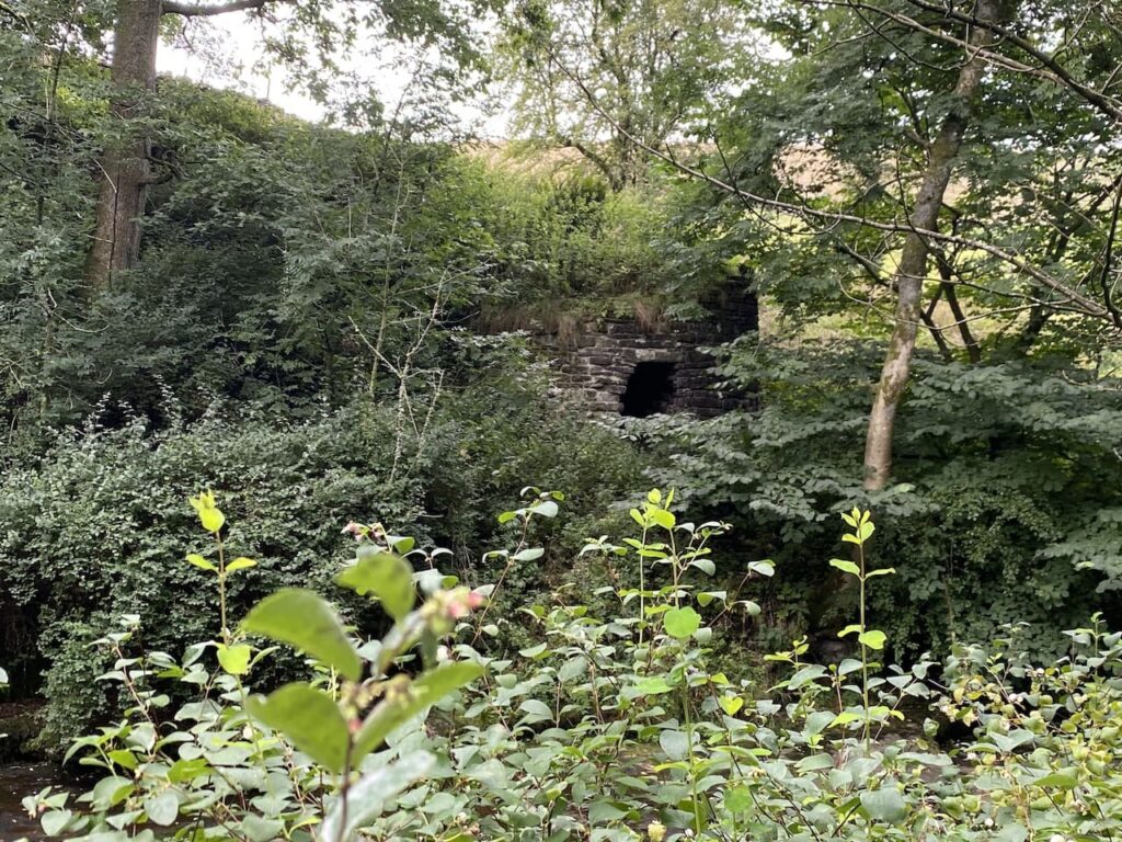
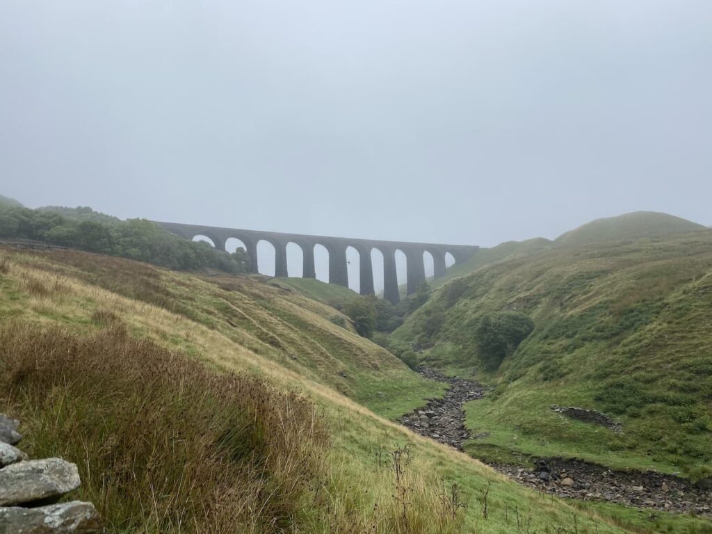
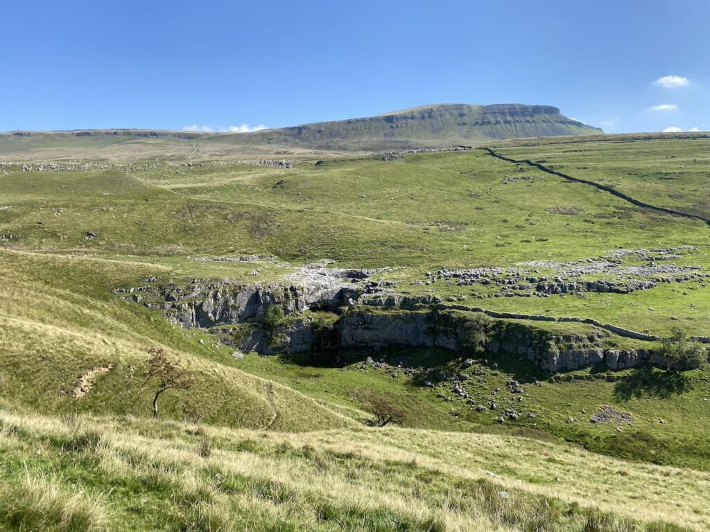
    Over the wall is Tarn Bar.  In the past we have been here during a wet spell and have seen a waterfall flowing here.

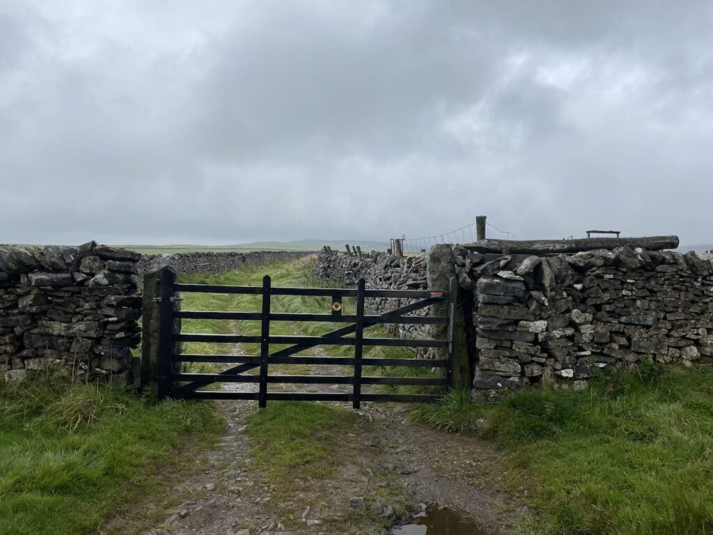
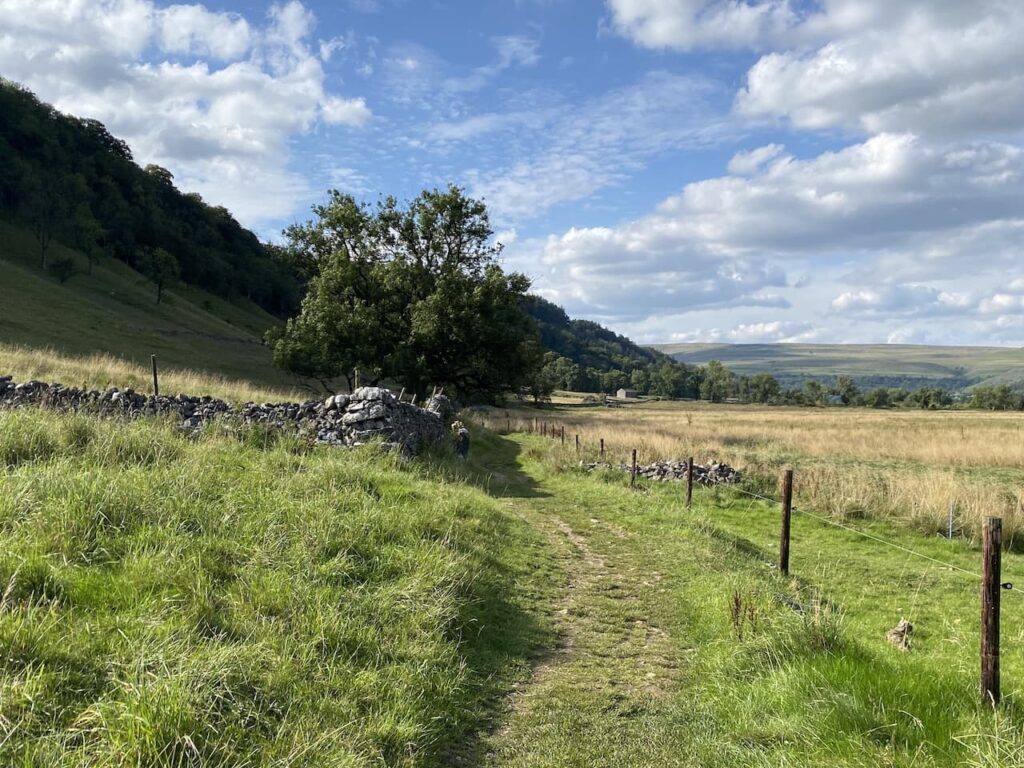
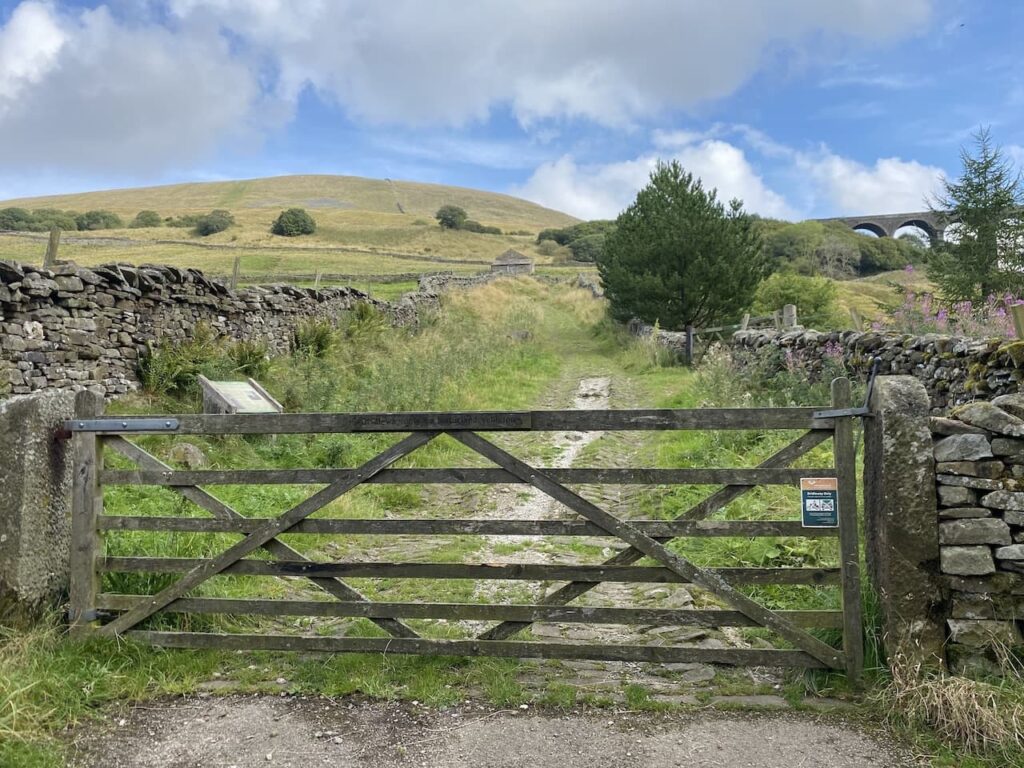
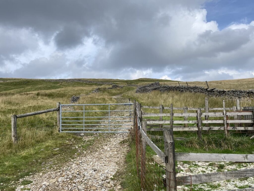
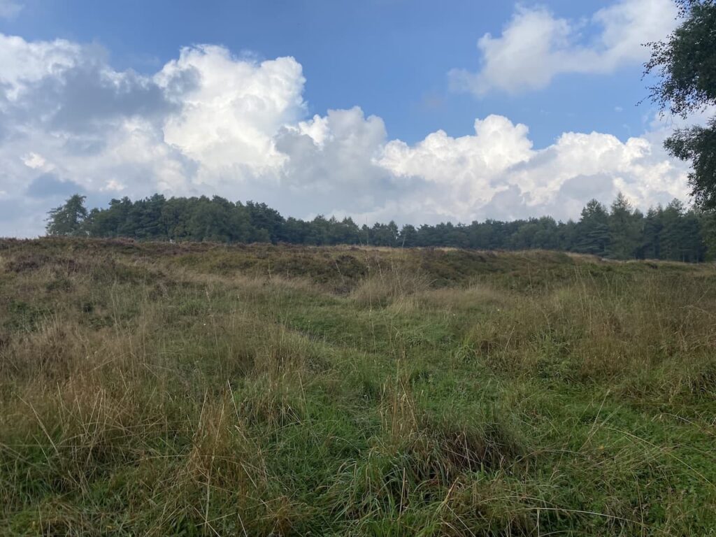
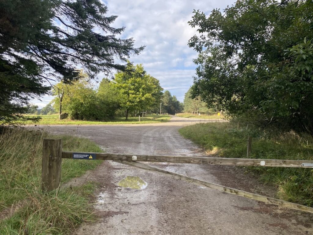
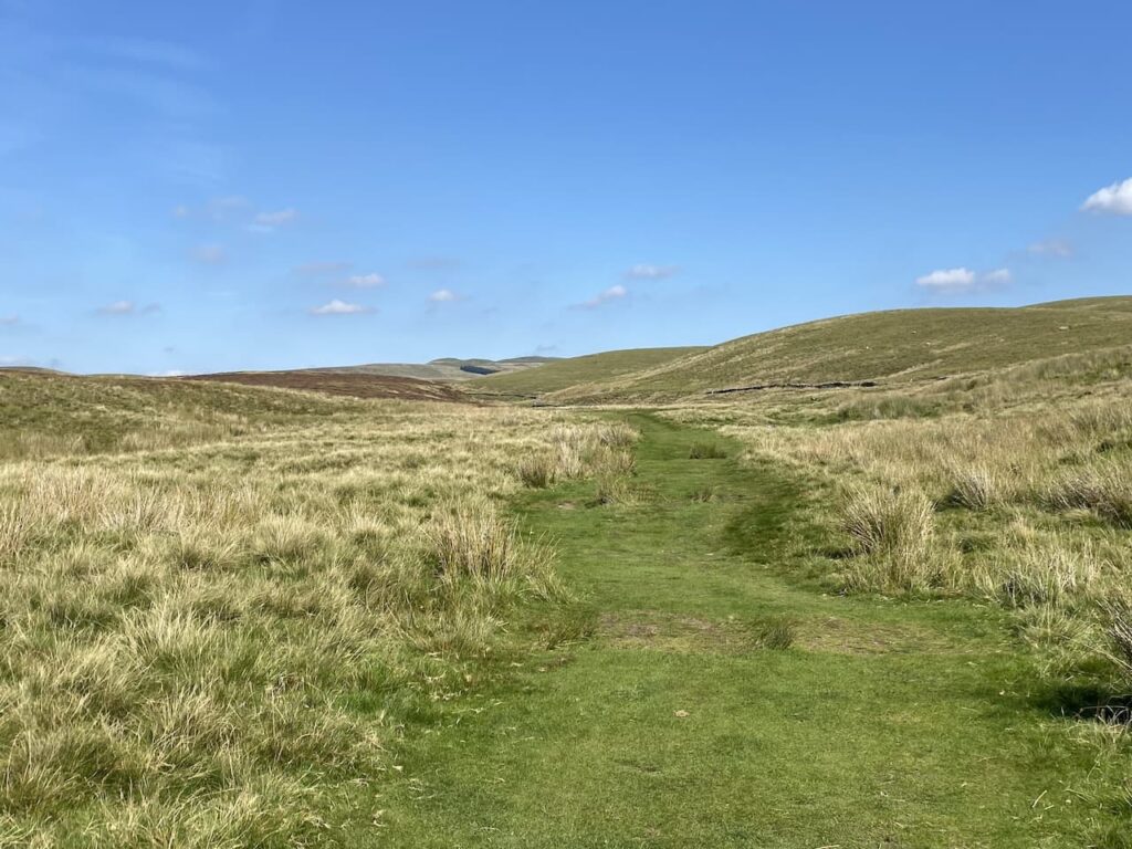
    After going through a gate at a junction of tracks we go straight on along a grassy footpath toward Foxup.

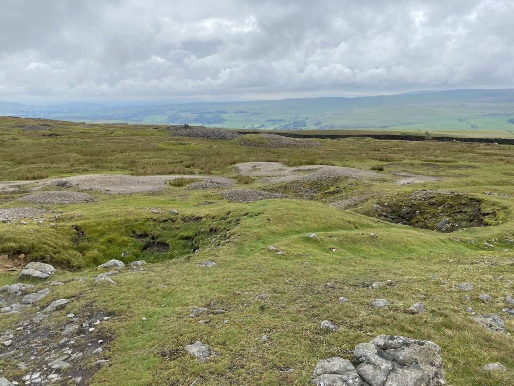
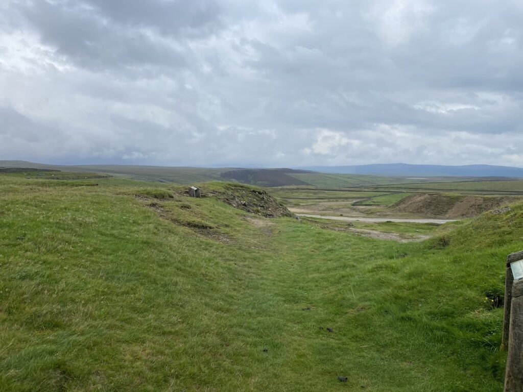
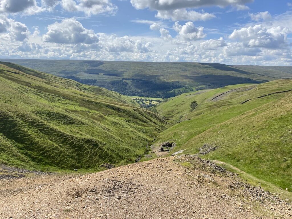
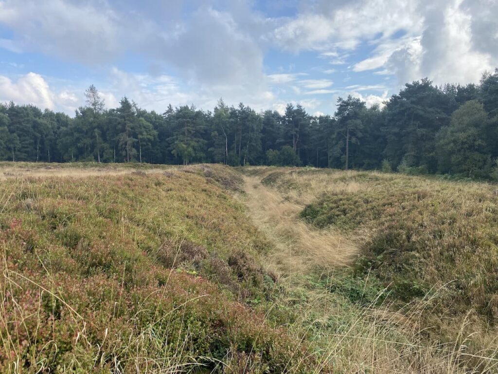
    We have visited Hull Pot on numerous occasions but I never ceased to be amazed by how this huge pot hole suddenly appears. One minute it looks like you are walking along a grassy path leading into the distance and then only a few metres away there is a large chasm in front of you.

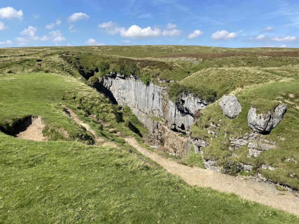
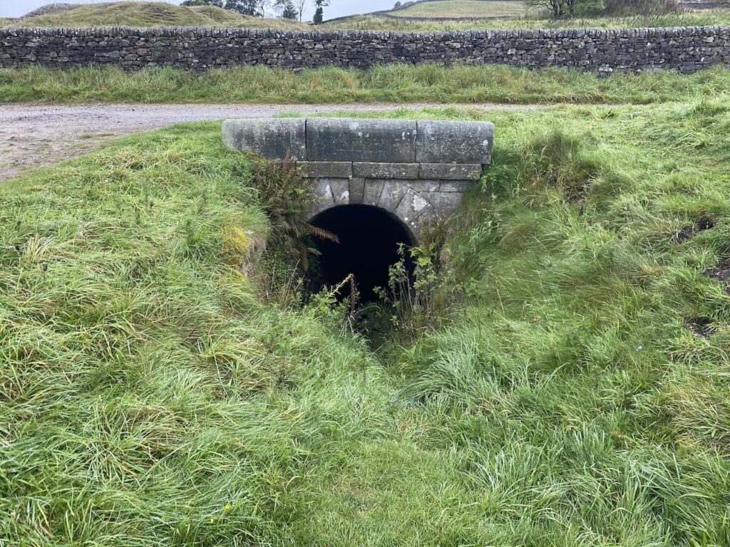
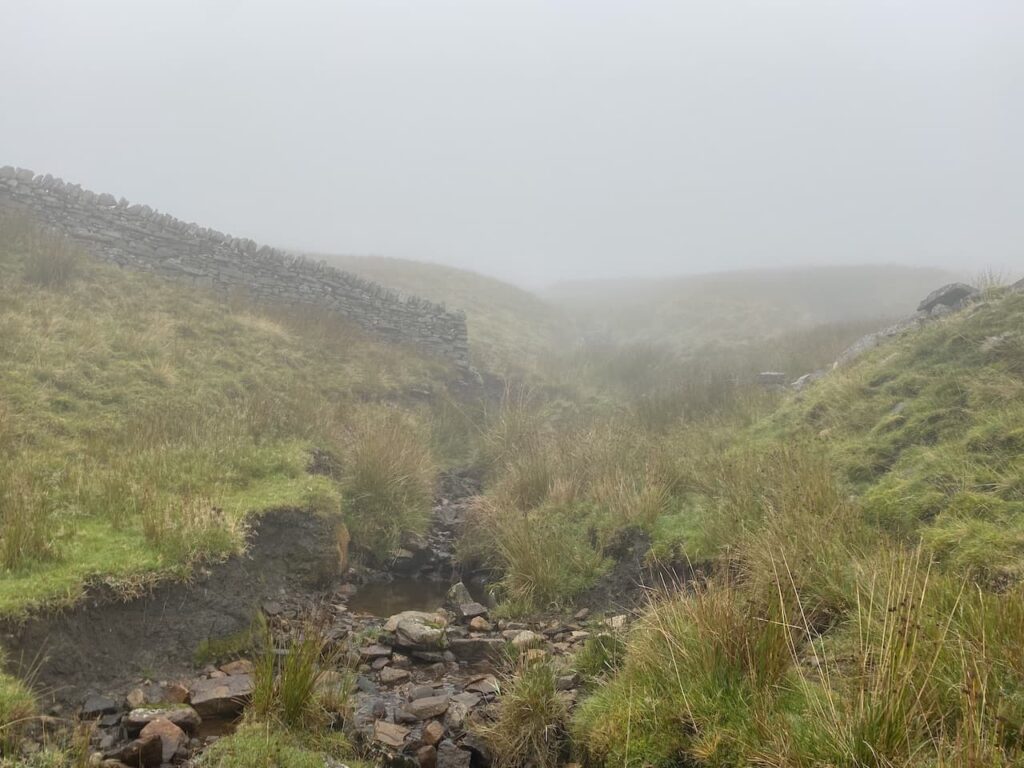
    There is a trickle of water running into the pot hole, not from the dry river bed above but half way down.  We decide to follow the route of Hull Pot Beck to find a spot for lunch.  

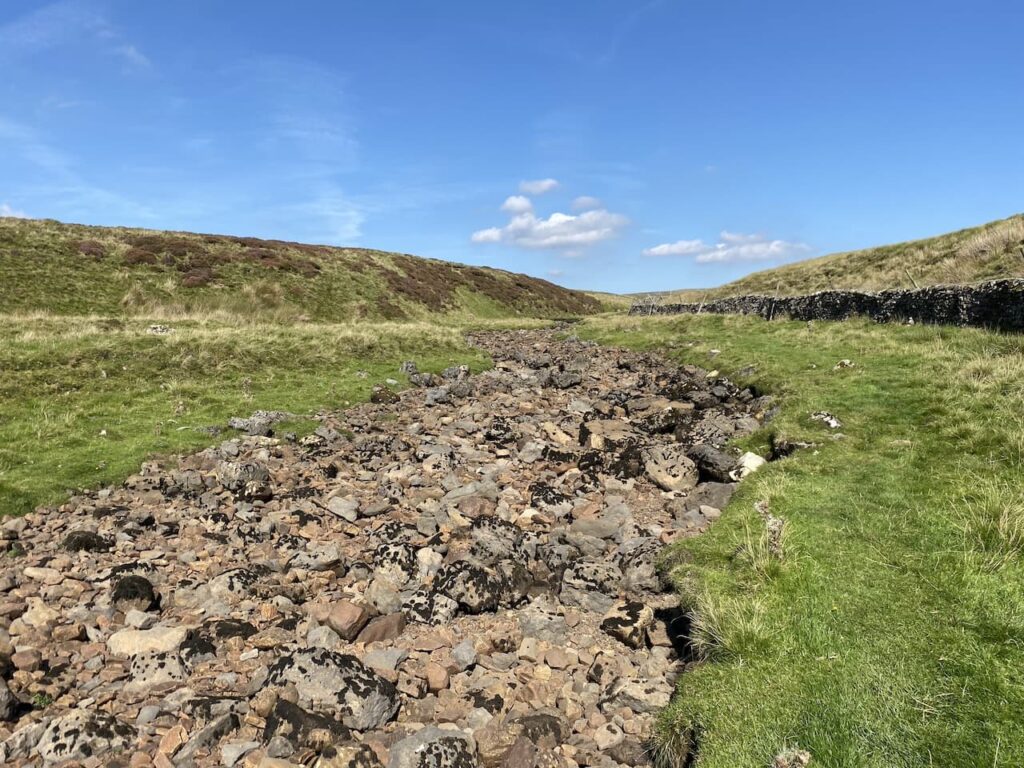
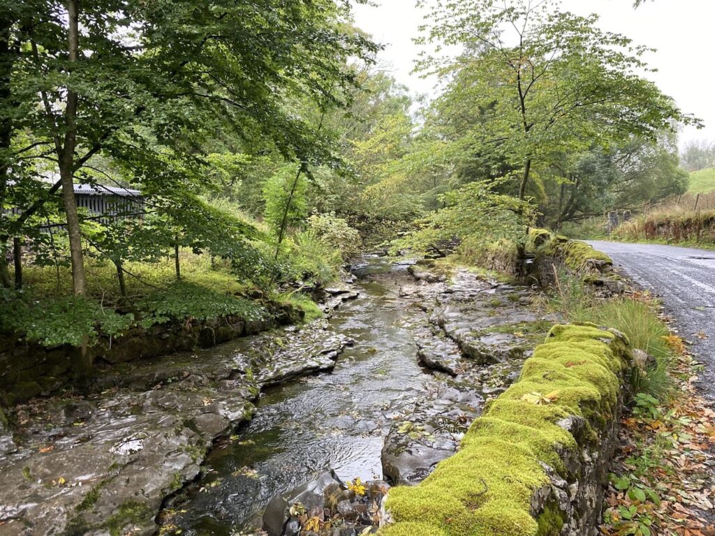
    Initially the river bed is dry and after a couple of hundred metres we reach a point where there is water flowing before it disappears underground.

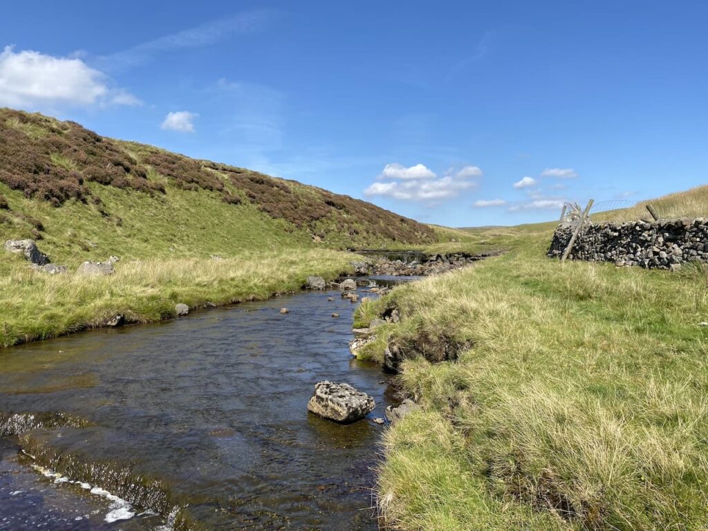
    This is a very pleasant spot to sit for lunch.  It gives Crosby a chance to stand in the beck and cool off a bit while we admire the view.

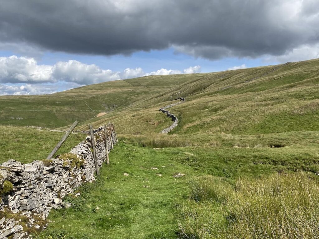
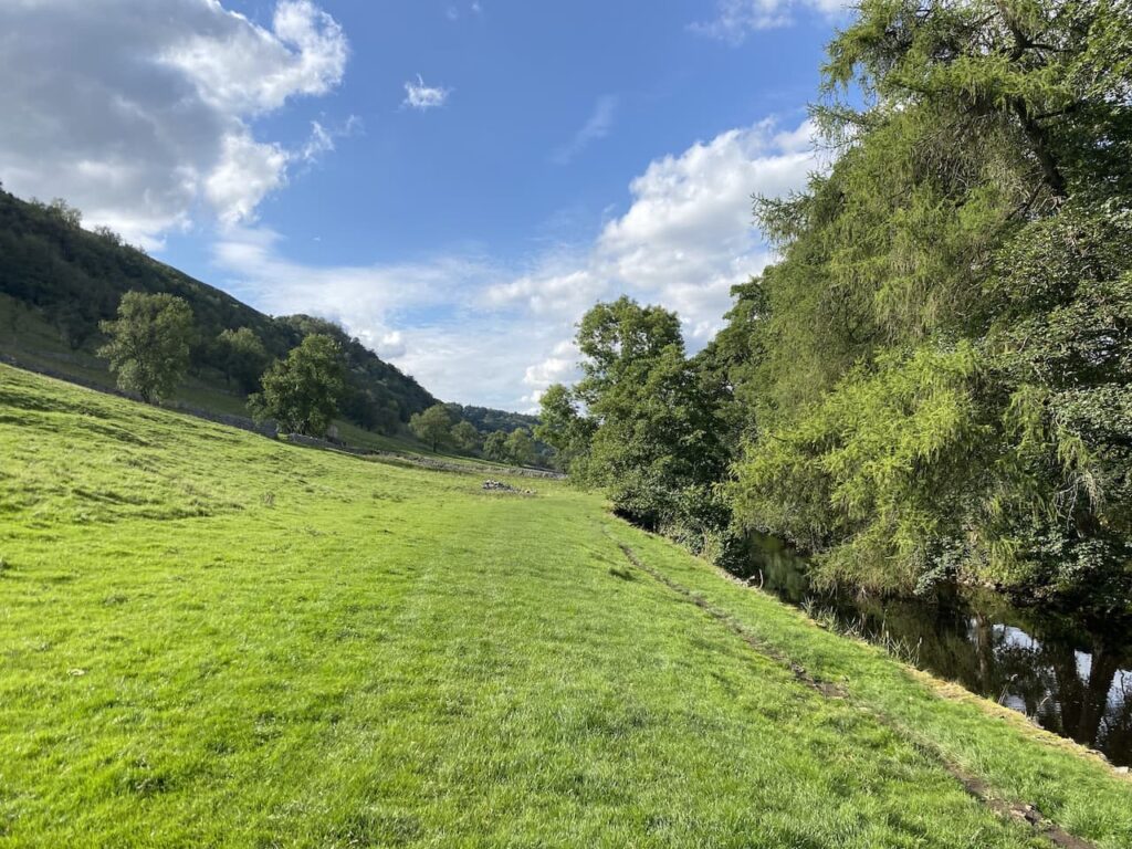
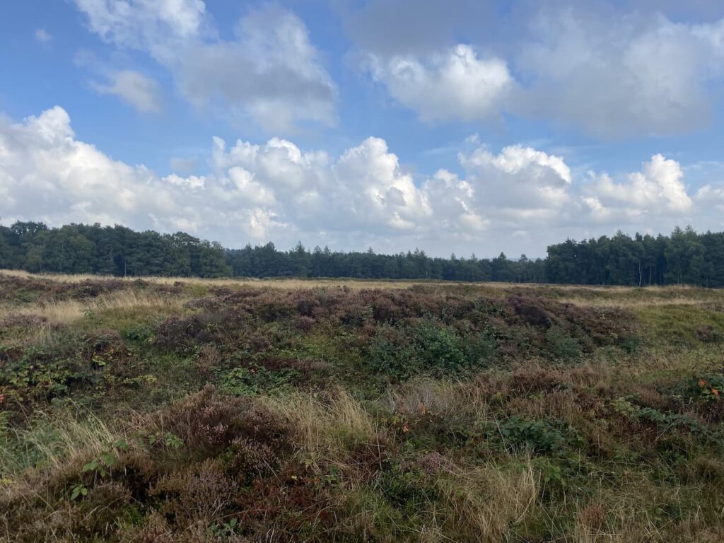
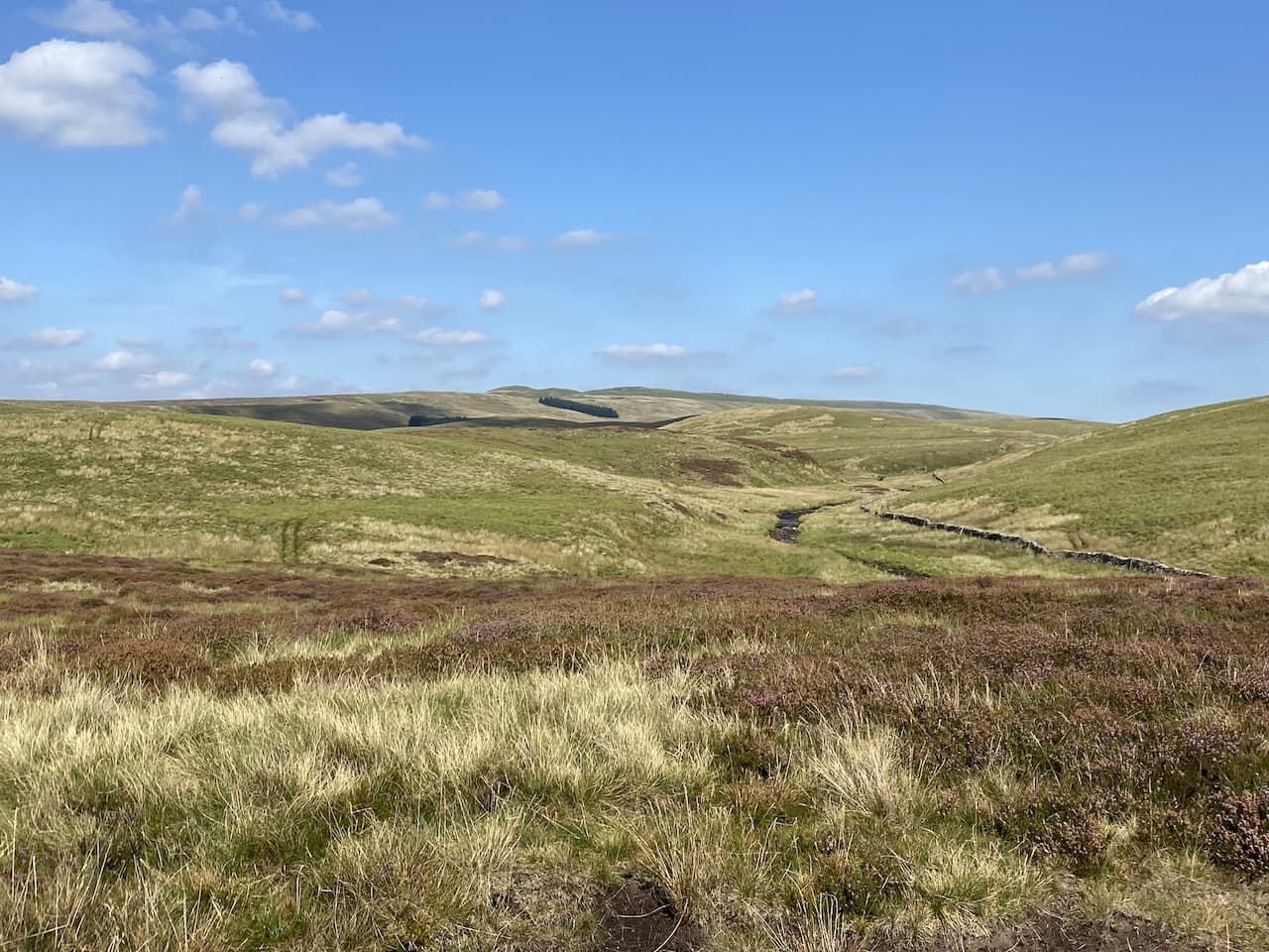
    Resuming our walk we continue heading alongside the beck and at a junction of paths turn to the left to head steadily uphill onto Todber Moss.

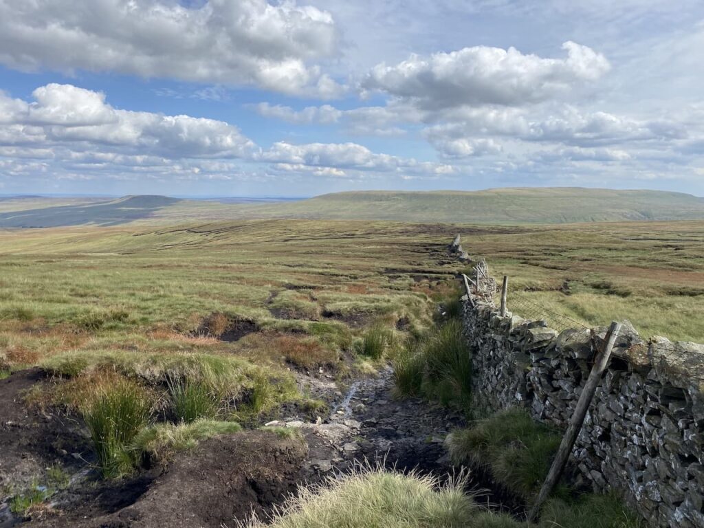
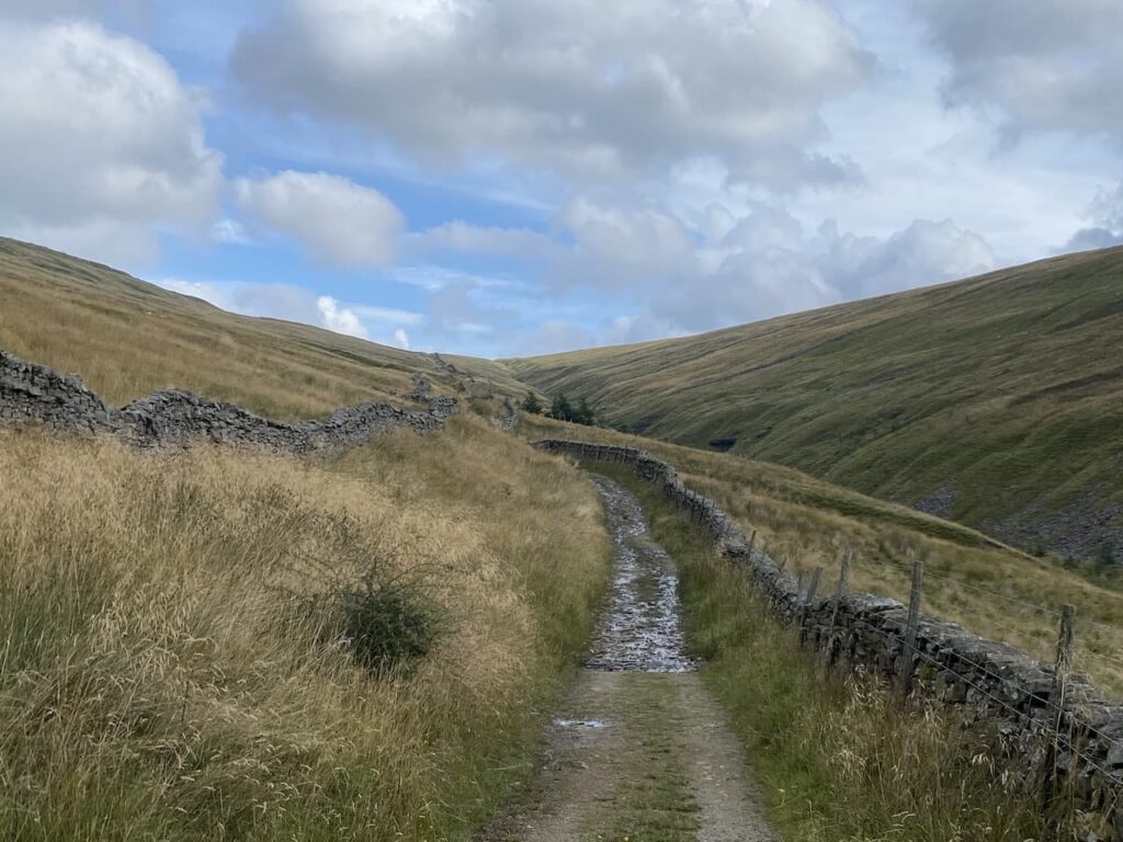
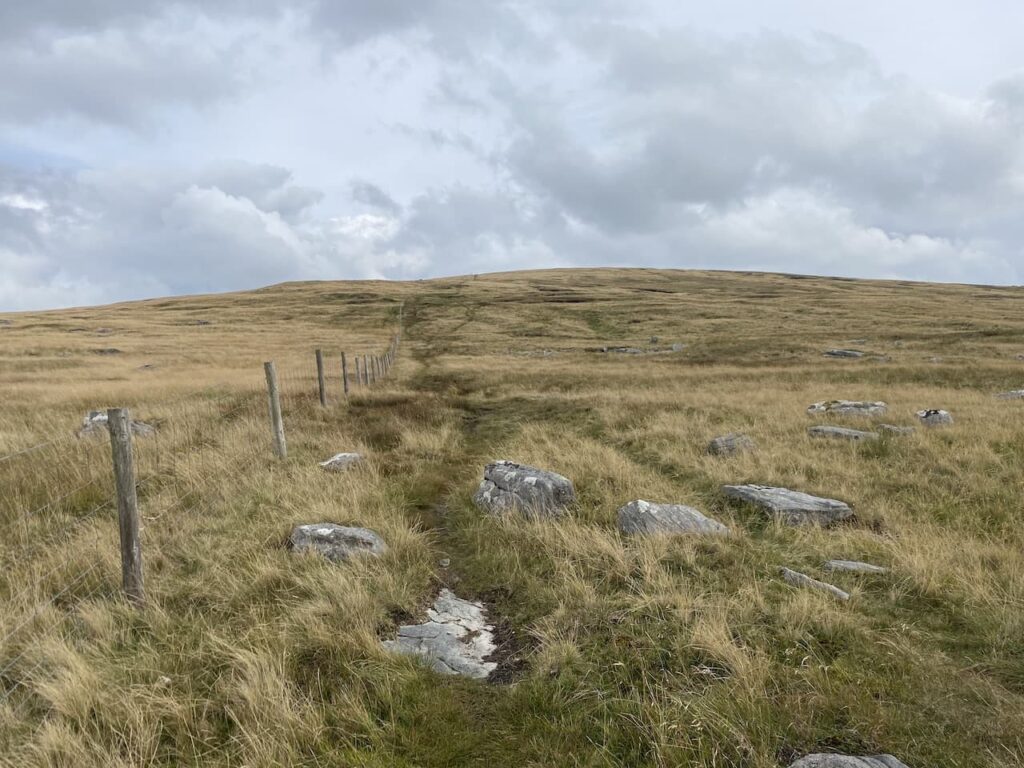
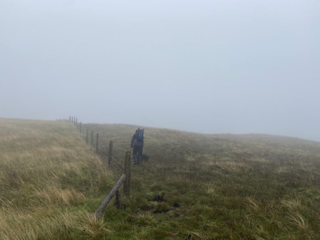
    The path now heads across moor land.  A number of years ago we headed up onto this moor after a prolonged wet spell and it was extremely boggy.  In those days my navigation skills were not as good as they are now and visibility was not great so we made the sensible decision to turn around and head back to the beck.  

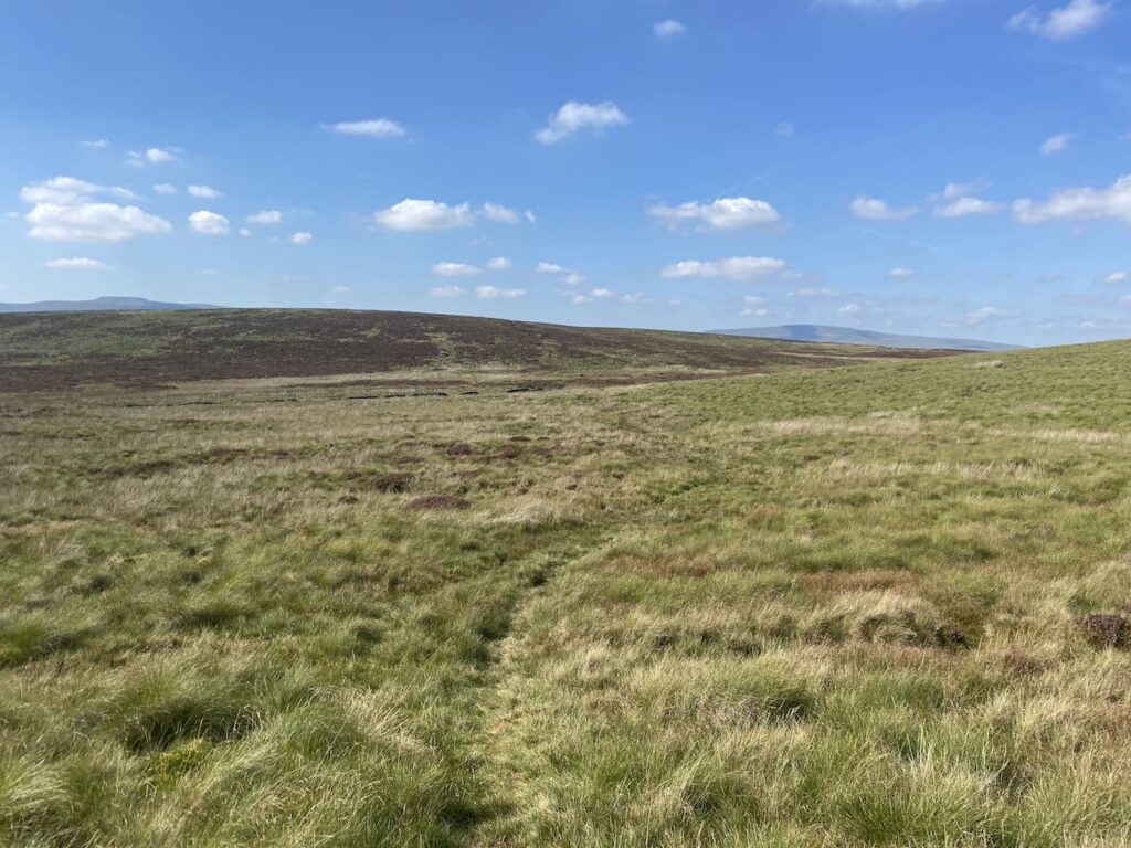
    The ground conditions are good today, and there is a clear path across the moor.  However, I still use the map and compass to check we are heading in the right direction.

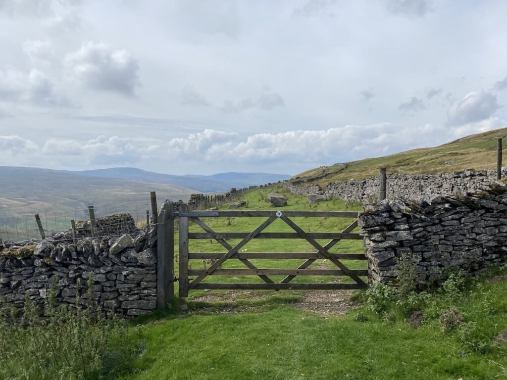
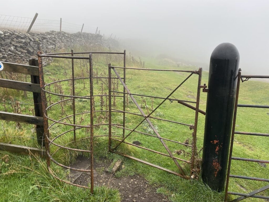
    We go through a gate across a stream before continuing over Red Moss.

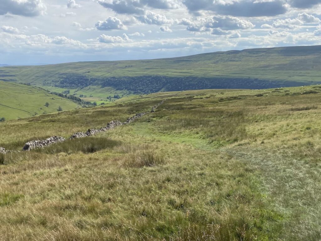
    The path leads us to a junction of paths with the Pennine Way and Yorkshire Three Peaks route.  Here we turn left along the track which forms the Pennine Way and the Three Peaks route.  

    Usually on this section of path you would expect to meet walkers heading in the opposite direction walking the Three Peaks but today with he have it to ourselves.

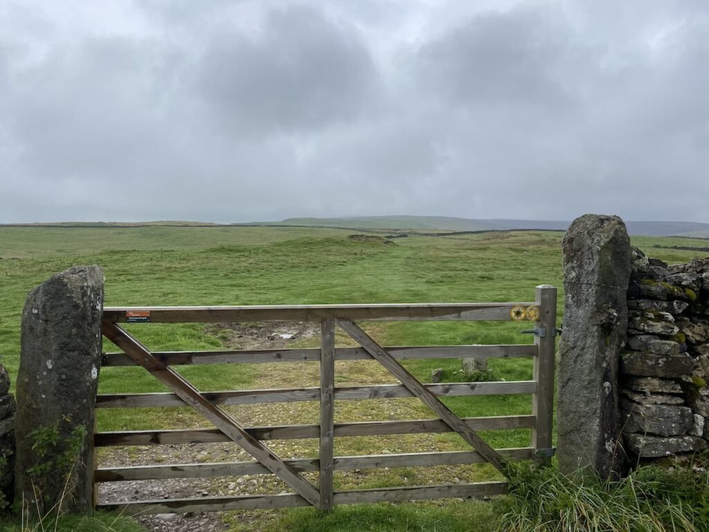
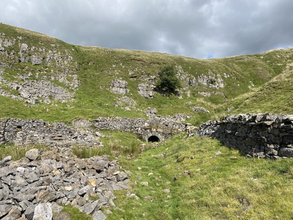
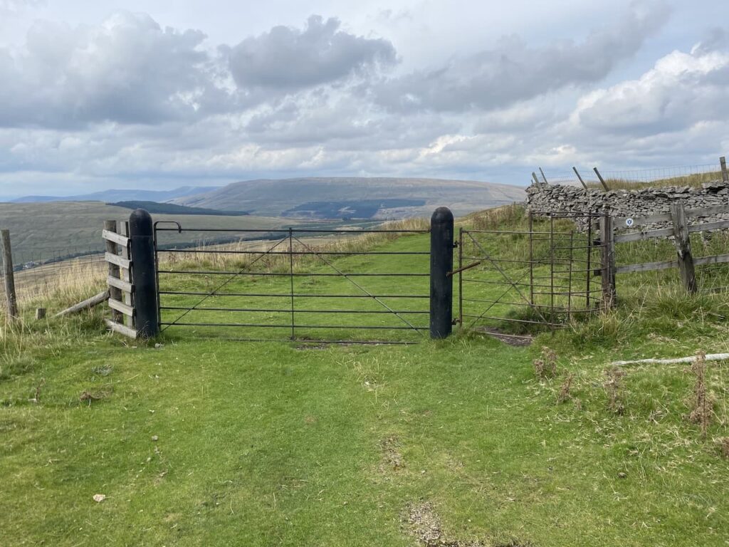
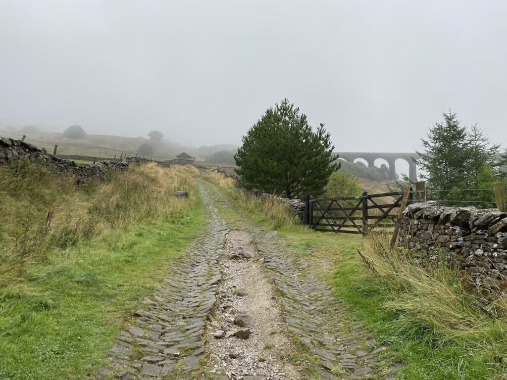
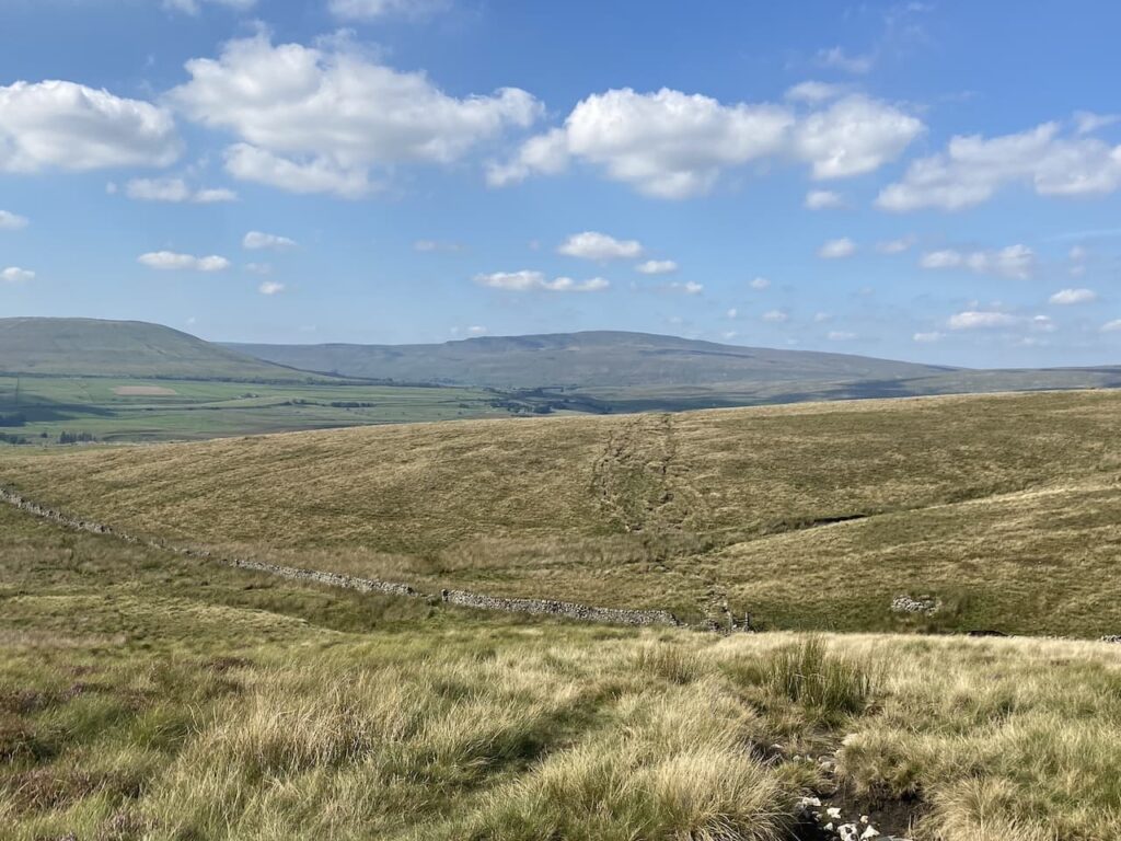
    We reach the point where the Three Peaks path goes to the left.  Here we go through a gate still on the route of the Pennine Way and follow the track towards another gate at Sell Gill.

    The dry conditions mean there is only a small amount of water in Sell Gill Beck.

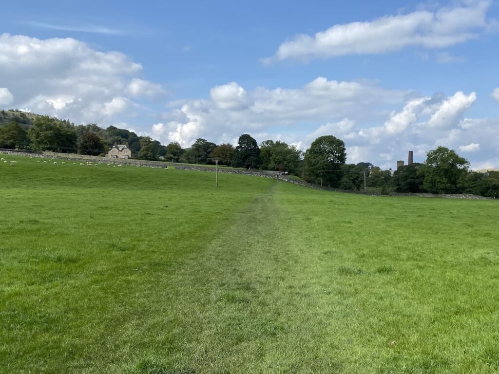
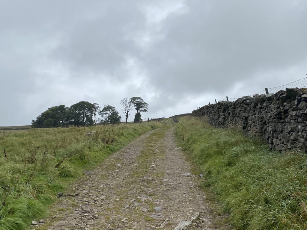
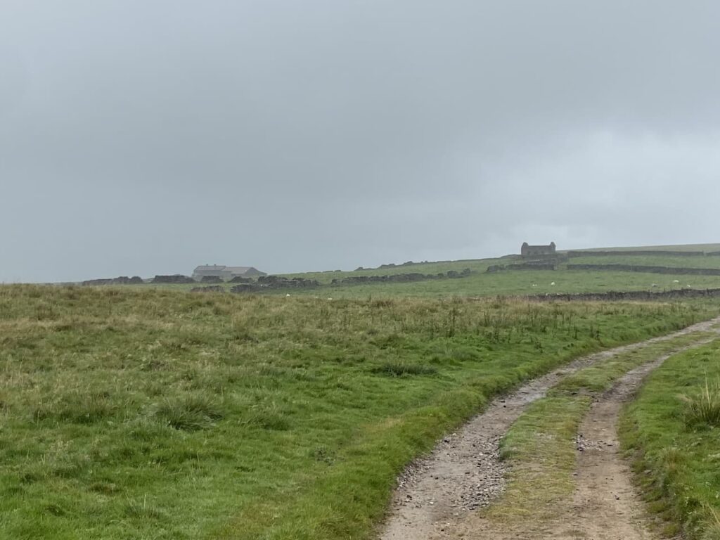
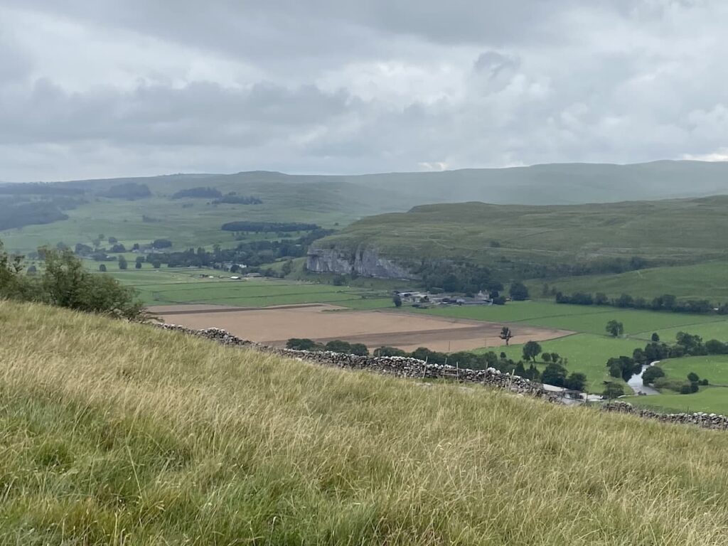
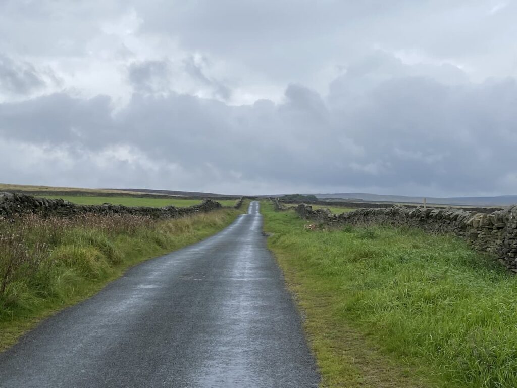
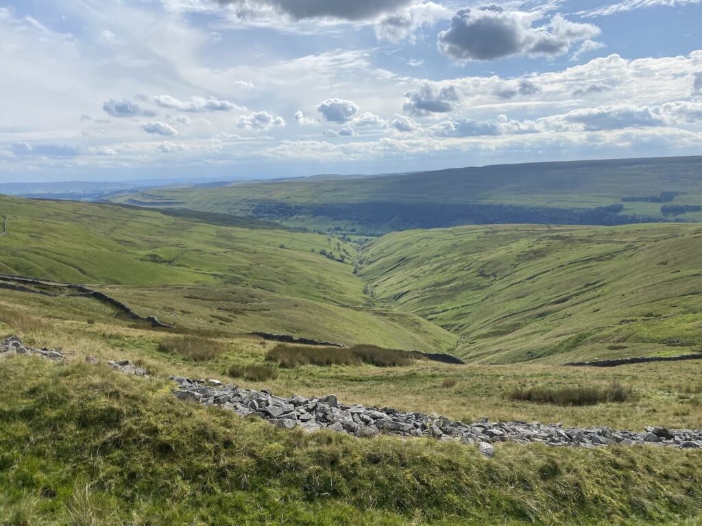
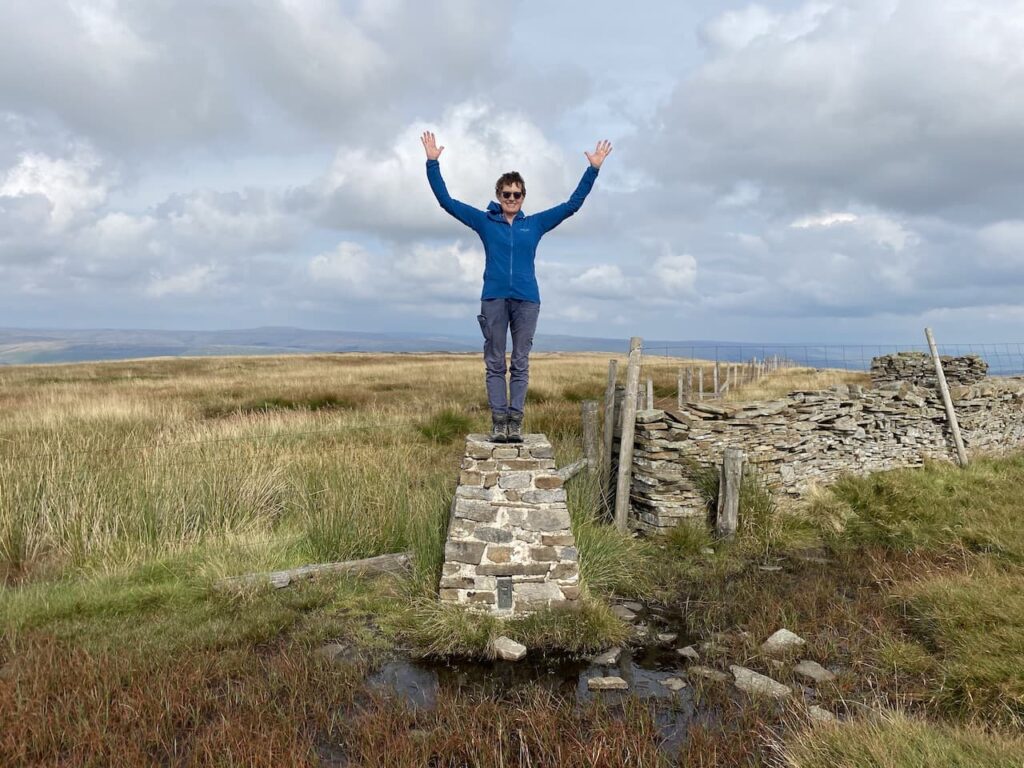
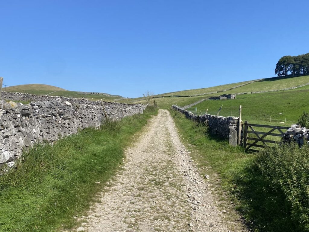
    The route is now very straightforward we are staying on this track back to Horton in Ribblesdale.  We are in no rush so take time to admire the views.

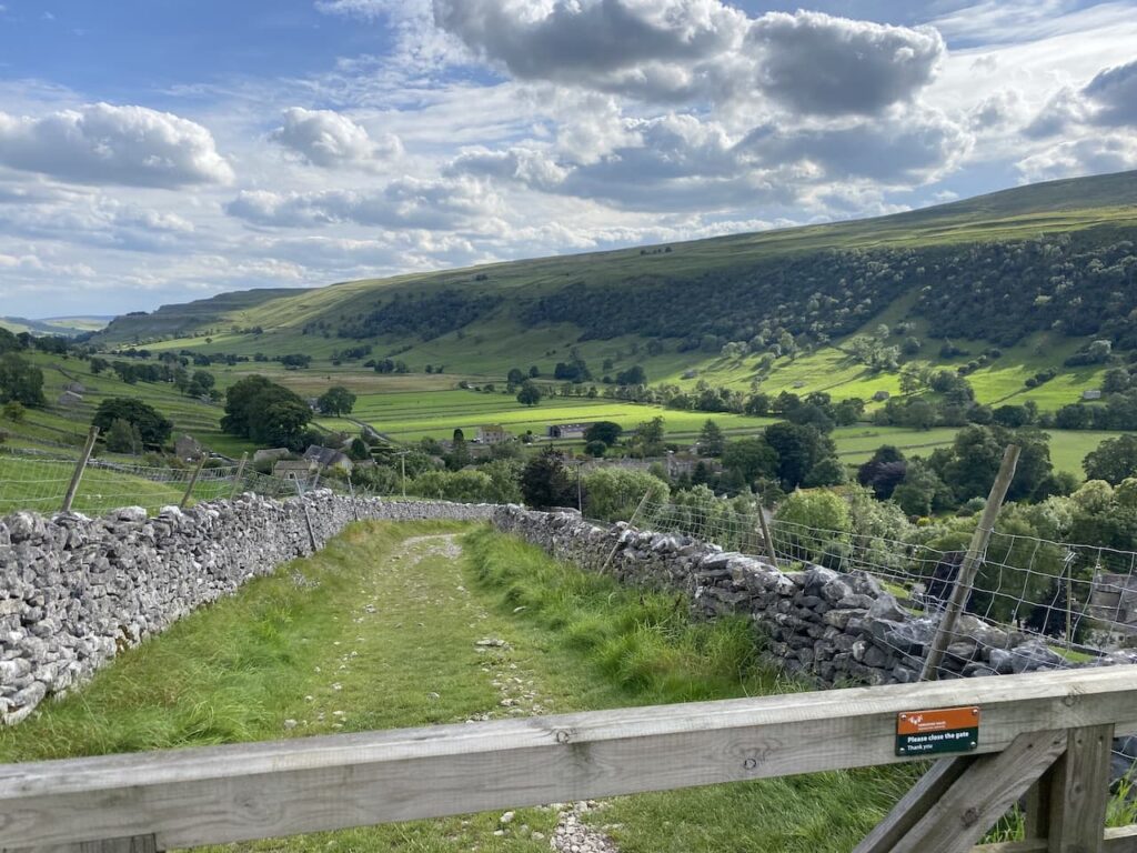
    Soon we see the village in front of us as we descend the final section of the track.  

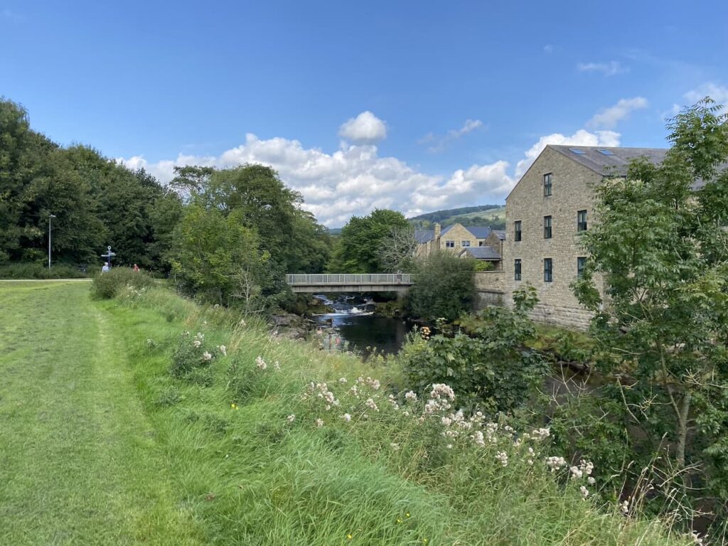
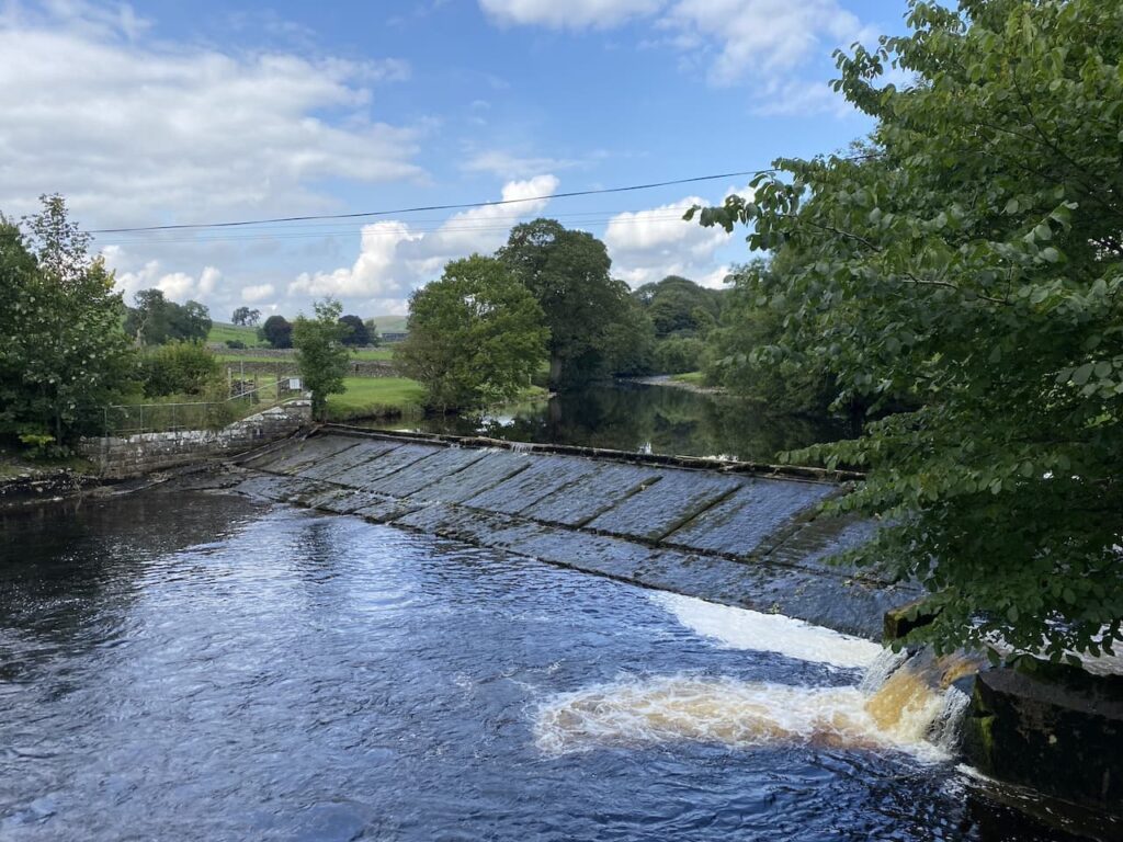
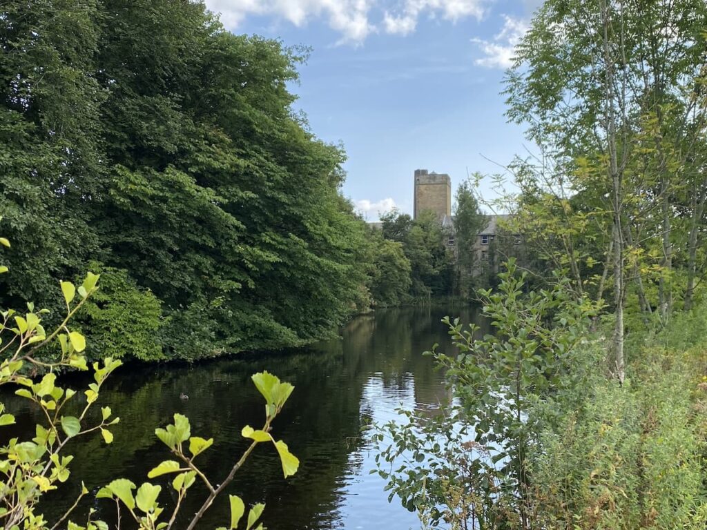
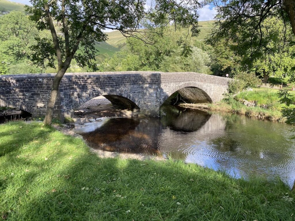
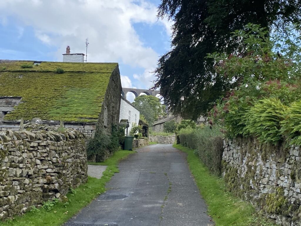
    After passing the Crown Inn we cross the River Ribble and return to our starting point.

    You can view this 6 mile walk on OS Maps and download the GPX File Here

    To follow our walk you will need Ordnance Survey Outdoor Explorer – OL2 Yorkshire Dales Southern and Western Areas

    4th  September 2023

    © Two Dogs and an Awning (2023)

    All information on this site is provided free of charge and in good faith and no liability is accepted in respect of damage, loss or injury which might result from it.  To the best of my knowledge the routes are entirely on public rights of way or within areas that are open for public access.
    Walking can be hazardous and is done entirely at your own risk.  It is your responsibility to check your route and navigate using a map and compass.

  • Langcliffe via Stackhouse

    Langcliffe via Stackhouse

    Following yesterday’s unsettled weather today’s forecast is for a warm, sunny day so we decide not to wander too far.  Crosby is not so keen on long walks in hot weather these days. We have a route in mind which will visit Winskill, but we have an option to shorten it if Crosby is struggling.

    Leaving Brigholme Farm CL we turn right and follow Station Road towards Penny Bridge.  Before reaching the bridge we turn left into Sandholme Close and soon join the Dales Way as it heads besides the River Ribble on a tarmac path.  We soon reach the Giggleswick Memorial Bridge with the converted Kings Mill on the far side of the river.  Kings Mill was an old cotton mill built around 1830 by John Proctor. 

    Instead of crossing the bridge we continue along the path with the river to our right.  On reaching Settle Bridge we still keep the river to our right and cross the road to take the footpath which runs beside Settle United AFC’s football ground.  There is a match in progress so we watch as we slowly pass the side of the pitch.  Formed in 1884, Settle United AFC until recently played in the Craven Premier League which they won on a number of occasions.  They now play in the East Lancashire League and their website claims they are highly successful at this level.  However, today they look set for a defeat.  

    After passing the school playing field we go through a wall gate and enter a pasture field following the Dales Way towards Stackhouse Lane.

    After going through a couple of fields we reach the lane and turn right and walk along the road to reach Stackhouse Farm.  Since we were here last year a new Caravan and Motorhome Club CL site has opened at Stackhouse Farm.

    We take a footpath on the right just before Stackhouse Farm, this goes through a gate and follows a walled path towards the River Ribble.

    At the river the Dales Way goes to the left, but we take the path leading over a bridge and past a weir.

    On the far side of the river we turn right and walk through cottages on either side and then take a path besides the final cottage on the left.  This leads to a gate which we go through to walk beside the Mill Pond of Langcliffe Mill.

    The High Mill at Langcliffe was built in 1780 and was one of Yorkshire’s earliest and largest cotton-spinning mills.  It is still in use today as a paper mill.

    We follow the path around the side of the mill to reach the entrance driveway to Langcliffe Park Caravan site.  Crossing the driveway we take a walled footpath leading to a footbridge over the Settle to Carlisle railway line.

    The footpath leads us to the B6479 which we cross with care and walk into Langcliffe where we stop at the War Memorial to get a drink for Crosby.  We decide it is too hot to head towards Winskill so instead opt for the shorter route back towards Settle.

    Continuing through the village we pass the Church and former school and continue uphill on the road.  Just as the road bends to the left we take a footpath in front of us which goes through a gate and then heads steeply up through a pasture field.

    The path turns to head south through fields passing under the limestone outcrop of Blua Crags with views towards Settle to our right.

    We keep the drystone wall to our right going through a couple of gates to join a track heading steadily downhill into Settle.

    In Settle we head down to the Market Square.

    We then make our way back through Settle to the caravan at Brigholme Farm.  In has been a pleasant wander on a warm afternoon. 

    You can view this 5 mile walk on OS Maps and download the GPX File Here

    To follow our walk you will need Ordnance Survey Outdoor Explorer -OL2 Yorkshire Dales Southern and Western Areas

    2nd September 2023

    © Two Dogs and an Awning (2023)

    All information on this site is provided free of charge and in good faith and no liability is accepted in respect of damage, loss or injury which might result from it.  To the best of my knowledge the routes are entirely on public rights of way or within areas that are open for public access.
    Walking can be hazardous and is done entirely at your own risk.  It is your responsibility to check your route and navigate using a map and compass.

  • Grassington Lead Mines

    Grassington Lead Mines

    The weather forecast for today is not great and on our early morning walk Crosby was limping which is probably the after effects of jumping from ladder stiles yesterday.  Hopefully after a day’s rest he will be fine, but he an old dog and I don’t want to walk him too far. Today he is going to stay in the caravan with Lynnie whilst I head off in search of a couple of trig points.  

    The starting point for my walk is the old lead mines at Yarnbury, near Grassington.  There are a couple of small parking areas near Yarnbury House.  This house was built in 1826 by the Duke of Devonshire, the landowner in this area, for the Duke’s Mineral Agent.

    Leaving the car I head north east along a track, Old Moor Lane, and soon pass the entrance to an Incline Shaft.  This was built in 1828 and slopes to a depth of 37 metres where carts were loaded with lead and other minerals and hauled out by horses.  It might have been large enough for a horse but there is no way I would venture in there!

    Within a hundred yards I take a footpath on the left which leads  steadily uphill along a track with a drystone wall to my right.

    I stay on this track until I reach a gate on my right.  Here I am going to take a slight detour to head across the open access land to bag the Ordnance Survey Trig Pillar on New Pasture Edge. 

    Persistent showers of light drizzle keep rolling in, there are moments when I can see a reasonable distance and then the visibility reduces.  I am sure it is not going to close in, but I am glad that as usual I have a map and compass with me and have decided to use it to navigate today rather than relying on an App on my phone.

    I head back through the heather to the gate on a well-worn “trig bagger’s path” and on reaching the track turn right and continue between the drystone walls.  Before too long the track leaves the walls behind and is replaced by a fence on my right and open land to the left with Bare House and High Barn in the distance.

    Bare Hose, which apparently is known as “Barras” locally was occupied up until the 1960’s but now stands empty, however, it was re-roofed in 2001.  It would have been a bleak place to live as it is over a mile to another property and winters up here can be harsh.

    Ignoring a footpath off to the left at High Barn I continue along the track until I reach a gate.  Here there is a choice of footpaths either through the wooden gate across the track or through a small gap in the wall with a distinctive Ordnance Survey Benchmark carved into the stone.

    My route is through the wooden gate and along the track.

    The track leads to another gate onto an area of pasture.

    The path crosses open land and although there is a faint path in the grass it is definitely a place where you would be grateful for a map and compass in poor weather.

    After crossing a ladder stile I continue on to a junction of paths where I turn left and then go through a gate and go diagonally downhill through a field to Kelber Gate.  Here I join a lane, Bycliffe Road.

    Where the lane turns to the left I continue straight on, a fingerpost points towards Capplestone Gate.  

    This is a grassy path across fields and then turns to the right to go by the edge of a fir copse before continuing uphill towards a scar on a route marked on the map as Conistone Turf Road.

    This a long steady ascent and soon in the distance I spot the Conistone Moor Ordnance Survey Trig Pillar at Capplestone Gate.

    It is a warm afternoon and I am grateful for the breeze as I reach the trig pillar.  It is the 400th I’ve bagged and it is a stunning one with which to reach that milestone.

    There are wonderful views so I stop for a celebratory cup of tea and spot of lunch before continuing on my way.  The route takes me through a gate and I take a well-worn path that initially stays close to the wall and then goes near the edge of the scar.

    This route takes me through a disused mine at Benfoot Brow, the map shows this whole area littered with disused mine shafts and the evidence of mining is still very apparent.

    I stay on the edge of the scar and pass through an area of stone boulders and continue on to reach a gate.

    Going through the gate I very quickly reach a ladder stile on the left which I go over and then descend on a track through the scar with fine views over Upper Wharfedale.

    The grassy track heads in a westerly direction gradually descending through fields of rough pasture to reach a gate.

    After going through the gate I continue on the track which is now heading towards woodland.  

    At a junction of paths on the edge of the woods I turn left to join the Dales Way heading towards Grassington.

    This is a well-used grassy path and easy to follow as I head south.  Out to my right there are fine views across the River Wharfe.

    Despite the popularity of the Dales Way there are only a couple of people walking this section and I hardly see a soul as I pass through fields.

    Soon I pass the limestone outcrop known as Conistone Pie.  It is pretty obvious how it came by such a name.

    This is a cracking bit of countryside with interesting scars and I go straight on staying with the Dales Way at a crossing of paths at Conistone Dib.  This is a dry gorge, probably created from glacial meltwaters it is an impressive view from above the gorge.

    Since joining the Dales Way I have noticed the pasture land has been much improved and have been looking out for a Lime Kiln.  These were used to burn the limestone to create lime which was then spread on the fields to improve the pasture. I spot a kiln by the side of the path, a notice board indicates it was built around 1840.

    I head through Old Pasture and can see rain on the horizon in the distance.  Since the drizzle at the start of the walk it has been dry and I was hoping to get around without having to put my waterproofs back on.

    Nearing Grassington I go through an area of rough pasture at Lea Green with limestone outcrops and small sections of limestone pavement.

    Just outside the village I pass through a couple of fields of dairy cows and my route takes me around large dairy barns to join a lane into Grassington.

    In the village I turn left at the Town Hall and walk up the hill on Moor Lane.

    After a steady ascent up the hill the road levels and it is now a long straight walk back to the car park at Yarnbury.

    Before heading off I take a quick look around part of the Grassington Lead Mines.  An information board explains the history of the mine dating back to when mining started here in 1604.  The most prosperous period for the mines was between 1821 and 1861 when on average 965 tons of lead were produced each year.  During that period about 170 men worked in the mines.  Mining stopped in 1880 and the site has remained derelict ever since.  

    There is an interesting trail laid out around the old mines with seventeen further information boards highlighting the relevance of each location.  I take a short stroll to look at a couple but decide it is somewhere to revisit when I have more time to have a good look around.

    You can view this 11.5 mile walk on OS Maps and download the GPX File Here

    To follow our walk you will need Ordnance Survey Outdoor Explorer – OL2 Yorkshire Dales Southern and Western Areas

    1st September 2023

    © Two Dogs and an Awning (2023)

    All information on this site is provided free of charge and in good faith and no liability is accepted in respect of damage, loss or injury which might result from it.  To the best of my knowledge the routes are entirely on public rights of way or within areas that are open for public access.
    Walking can be hazardous and is done entirely at your own risk.  It is your responsibility to check your route and navigate using a map and compass.

  • Buckden Pike Memorial

    Buckden Pike Memorial

    Last year whilst staying at Brigholme Farm CL I went on a lengthy trig bagging route in Upper Wharfedale.  It was a challenging route and one I would definitely not take Lynnie and Crosby on.  However, the early part of the route visited the Buckden Lead Mine and that is definitely somewhere worth taking Lynnie.

    The starting point for our walk is in Buckden opposite the Buck Inn. It’s a bit of a drive from Giggleswick but there is cracking scenery to take in on the journey.  Lacing up our boots on a sunny day it is tempting just to walk across the car park and enjoy a pint before we set off.  But I am not one for drinking in the day time so we head off on the lane to the left of the pub.

    After passing cottages we follow the path to reach Buckden Beck where we turn right on a route marked by a fingerpost to Buckden Lead Mine and Starbotton.

    The route is easy to follow as it makes a long gradual ascent up East Side.  There are cracking views back over the village behind us.

    Nearing a wall the path turns northwards, still going up, to reach a junction of paths.  Here we continue heading north on the route towards the lead mine.  There is evidence of cattle about but we don’t encounter them until we reach a stile over a wall and they are not  at all bothered by us.

    We follow the clear path and are soon at Buckden Gavel Lead Mine.  Mining started here in the 1690’s but on a larger scale in 1804 when the tunnel shaft into Buckden Ghyll was created.  Work continued here until 1877 by which time the lead was becoming more difficult to extract and its value was decreasing because of a fall in world lead prices.

    In 1964 a group of students from Birmingham University were exploring the mine network under Buckden Pike when they discovered the remains of a body.  Investigations were unable to identify him, but he had a card from a funeral in Settle in his pocket from May 1890 and some coins dating from the 1880’s so had been there a longtime.  His identity remains a mystery, as does how he came to die in the mine, but he has become known as Buckden Bill.

    I am not tempted to enter the mine, I have read that it is very unsafe and it is easy to get into difficulty.  Instead we decide this is a good place to stop for our lunch and enjoy the view down Buckden Ghyll.

    Continuing our walk we go through a wall and follow a path on the north side of Buckden Ghyll this heads uphill in a north easterly direction to join a paved path.  Here we cross the wall stile so that we can visit the Buckden Pike Ordnance Survey Trig Pillar.  I’ve bagged this trig before but it is the first time Lynnie and Crosby have been up here.

    Irritatingly we have to go back over the ladder stile to continue our walk.  It’s not a problem for Lynnie or I, but Crosby is becoming an old boy and jumping down from the top of these stiles plays havoc with his joints and he won’t let me lift him off.

    We now follow the paved path with the wall to our left as we walk along the top of the hill.

    On reaching a wall stile on our left we cross, again this is difficult for Crosby.  We stop to look at the Buckden Memorial.  The story behind this memorial is amazing.  On 30th January 1940 a Wellington Bomber with six Polish Aircrew took off from RAF Bramcote in Warwickshire on a training mission.  They were hit by a sudden snow storm and the crew lost their bearings and travelled over Skipton and headed into the Yorkshire Dales.

    In the total white out they couldn’t see a thing and clipped a six foot dry stone wall on Buckden Pike and the plane crashed.  There were two survivors, the rear gunner, Joe Fusniak, and the wireless operator Sergeant Jan Sadowski, unfortunately Jan was seriously injured.  Joe decided to go in search of help.  He had no map or any idea of where he should go but soon came across the tracks of a fox and decided to follow that in the hope it would lead to human habitation.  His hunch was correct and it led him to the White Lion at Cray where the landlord’s daughter, Nannie Parker, spotted him.

    He was provided with warmth by the Parker family and eventually convinced the landlord he was not a German.  The weather was so bad that a search party for the survivor could not be launched until the following day and sadly when located he had passed away.

    After the war Joe continued to visit the site of the crash and in 1974 decided to erect a memorial to his flight companions who lost their lives in the crash.  He was granted permission to erect the cross and he personally installed it with the help of a few others.  It includes in the base a bronze fox head in recognition of the animal that saved Joe’s life.

    From the memorial we continue, in slightly reflective mood, on a path heading in a southerly direction with a drystone wall to our right.  It is a cracking day, but this spot is miles from anywhere if Joe had not followed the fox tracks he could easily have wandered off into the depths of the moor.

    At a junction of paths we turn right and soon start to descend with stunning views in front of us.

    We are now heading towards Starbotton and the scenery is absolutely cracking.

    After going through a wooden gate we join a track that continues downhill towards the village.

    In Starbotton we head through the village and then join a footpath heading towards the River Wharf, this has a fingerpost pointing to Arncliffe, Kettlewell and Buckden.

    On reaching the River we cross on a sturdy bridge and then turn right to follow a path with the river on our righthand side.  

    We are now on the route of the Dales Way, this is an eighty mile route from Ilkley in West Yorkshire to Bowness-on-Windermere in Cumbria.  I have walked a few sections of this long distance path and keep thinking it is possibly a walk that Lynnie and I could do at some point in the future.

    The route is now very easy to follow.  There are regular Dales Way way-markers as we walk through fields.

    The path leaves the river for a while to follow a walled path and then passes through open pasture before rejoining the river bank as we approach Buckden.

    Near Buckden we reach Buckden Bridge which is thought to have been built in 1709 with some rebuilding in the 19th century.

    At a minor road we turn right and cross the bridge and head back into Buckden and pass the village shop on the green on the way back to our starting point.

    Our walk has been absolutely stunning.  It has been a cracking day for walking and whilst we have only covered 8.5 miles we have taken our time.  There has been plenty to see and we have done over 2,300 feet of ascent.

    You can view this 8.5 mile walk on OS Maps and download the GPX File Here

    To follow our walk you will need Ordnance Survey Outdoor Explorer OL2 – Yorkshire Dales – Western Area

    31st August 2023

    © Two Dogs and an Awning (2023)

    All information on this site is provided free of charge and in good faith and no liability is accepted in respect of damage, loss or injury which might result from it.  To the best of my knowledge the routes are entirely on public rights of way or within areas that are open for public access.
    Walking can be hazardous and is done entirely at your own risk.  It is your responsibility to check your route and navigate using a map and compass.

  • Great Knoutberry Hill

    Great Knoutberry Hill

    Last year my walking buddy Mandy and I did a walk through Arten Gill and up to the Ordnance Survey Trig Pillar at Great Knoutberry Hill it was a great walk but the weather was miserable and we didn’t get any views at all.  So today I am going to repeat the walk but this time Lynnie is joining me and I’m not sure if this is because she wants to see the Arten Gill railway viaduct or is out to bag another Ordnance Survey trig pillar.

    The starting point for our walk is a parking area beside the Dent Head Viaduct  (Grid Ref: SD777844).  We set off down the road towards Cowgill and Dent.  We soon pass Bridge End Cottage and continue down the lane besides the River Dee.

    Last year whilst walking along this road I saw a Red Squirrel, so we keep our eyes peeled.  Although walking along a road there its very little traffic and what there is is going very steady because a lot of sections are single track with passing places.

    Nearing Store House Bridge we stop to look across the river at a limekiln.  This listed building is thought to date back to the early 1800’s. 

    Where the road bends over Stone House Bridge we take a lane on the right to pass cottages.

    We are now on Arten Gill Lane and follow this as it goes through a gate and joins an ancient track heading towards the Arten Gill Viaduct.

    As we walk up the lane, the viaduct dominates the view.  It is a stunning bit of engineering and is listed as bridge number 84 on the Settle to Carlisle Railway.  Work on its construction started in May 1870 and was completed in July 1875.  The unstable nature of the ground in the gill meant that some of the piers are rooted to a depth of 55 feet into the ground.  

    The viaduct is 660 feet long and 117 feet high and stands 1,100 feet above sea level. Parts of the structure are constructed with Dent Marble quarried from Arten Gill beneath it. 

    We continue gradually ascending, it is a good long drag up this hill, but the scenery is worth it.

    When Lynnie and I are walking together we tend to walk at different paces, Lynnie is quicker than me on the flat but on ascents and descents I am faster.  So going uphill I pause occasionally to allow Lynnie to catch up.  It does mean I get a chance to admire the far reaching views.

    At a junction of paths we turn left continuing on the Pennine Bridleway as it heads north through a metal gate.

    The path soon levels and heads east along Dent Fell through a series of gates.

    In contrast to the last time I was up here it is a clear day and the views are stunning.

    The Pennine Bridleway sweeps towards the north and as we pass Green Bank we take a path on the right which follows a fence line and ascends Pikes Edge on Great Knoutberry Hill.  

    Last year heading up this hill I encountered a couple of boggy sections, nothing to worry about but it needed care to avoid getting wet feet.  Now after such a prolonged dry spell the ground is firm under foot.  However, when we reach the  trig pillar on Great Knoutberry Hill it is surrounded by water.  This does not prevent Lynnie climbing on top.  Personally I think this is bad trig etiquette. 

    From the trig we keep with the line of a dry stone wall as it descends from the hill in a south easterly direction.  It is clear from the worn path that there are frequent visitors here.  The path leads downhill past the disused Cross Pits Colliery and then we cross a wall stile to join a track.

    Here we turn right and follow the track to the junction of paths we were at earlier at the top of Arten Gill.  This time we turn left on the Pennine Bridleway towards Newby Head Road.

    This route takes us south through Swineley Cowm descending towards a minor road, we can see for miles in front of us.

    At the minor road we turn right leaving the Pennine Bridleway to head back along the road towards Dent Head Viaduct. Construction  started on this viaduct in 1869 and was competed in 1875.  Work was hampered by the constant rain and snow, in 1872 it is said that 92 inches of rain fell on Dent Head instead of the usual 68 inches. 

    We stay with the road which descends to go under the railway line and then we are back at our starting point.

    You can view this 9 mile walk on OS Maps and download the GPX File Here

    To follow this walk you will need Ordnance Survey Outdoor Leisure Map OL2 – Yorkshire Dales – Western Area

    11th September 2022

    © Two Dogs and an Awning (2022)

    All information on this site is provided free of charge and in good faith and no liability is accepted in respect of damage, loss or injury which might result from it.  To the best of my knowledge the routes are entirely on public rights of way or within areas that are open for public access.
    Walking can be hazardous and is done entirely at your own risk.  It is your responsibility to check your route and navigate using a map and compass.

  • Cropton Forest from Cawthorn Roman Camp

    Cropton Forest from Cawthorn Roman Camp

    After such a prolonged dry spell we were bound to get rain at some point.  Following our walk on Fylingdale Moor yesterday we popped into Whitby for a fish and chip supper by the harbour.  Afterwards whilst wandering around the harbour we got caught in a torrential downpour.  

    Although today started bright the forecast thunderstorms arrived at lunchtime.  I don’t mind walking in the rain, but I always avoid heading out when there is thunder and lightning about.  Going out onto a moor when lightning is forecast is too risky for me.  

    In the last couple of years I have switched to using the Met Office weather app.  I find it a lot more accurate than others I have tried and the short range forecast is usually spot on.  I have also become more adept at judging if clouds  heading our way are going to deposit their contents on us.  

    After today’s lunchtime storm the forecast is for a clear afternoon with further risks of thunder this evening.  So I decide on another walk in nearby Cropton Forest, but this time I will drive from the site the couple of miles to the car park at the Cawthorn Roman Settlement.

    From the car park I pass the information board about the Roman Camps and follow a well-made path to reach the ramparts of the camp.

    This is a well preserved extensive camp built by the Romans between AD90 and AD130 and consists of two main camps and an annex.  

    I follow the path towards a viewing platform.  I had thought this might provide a more expansive view over the site, however, it is not much higher than the ramparts so does not give a perspective of the scale of the camps.

    There are a range of paths around the Roman Camps, but I have plans for a longer walk.  I had hoped there might be a path from here into Cropton Forest, but it soon becomes obvious that I need to return to the car park and walk along the entrance driveway and then turn right along the lane for 500 metres to reach a minor road leading to Keldy Cabins and the Forest.

    This is a quiet lane and pleasant walking, I soon arrive at a gateway providing an extensive view, but clearly indicating there is no access to the field.  I would like to see greater access to the countryside, preferably through the adoption of a right to roam.  However, I hold out very little hope given the policies of the current government.   

    Proceeding along the road in front of me there is an abundance of pheasants.  It is now clear why the landowner is so keen to keep folk out of the field.  I have lived all my life in a rural community but I am not a supporter of shooting. 

    I pass a farm cottage at Keldy Banks and ignore a footpath on the right and continue along the tarmac track.

    My route is now straight forward, keeping to the driveway for just over two kilometres to reach the entrance to Keldy Cabins.

    These cabins are part of a wider network of holiday accommodation run by Forest Holidays in partnership with Forestry England.  The land for the cabins is on a 125 year lease and provides an opportunity for people to holiday amongst the trees.  I had imagined basic log cabins, but these offer luxury accommodation.

    I continue heading north through the cabins and then walk along a forestry track heading towards High Muffles.

    After two kilometres I reach a barrier at High Muffles.

    At a crossing of forestry tracks I turn right and follow the fingerpost direction towards Stape.

    I am now heading east and pass the entrance to Life House and then ignore a track on the left.  I then pass a couple of small ponds.

    In April 2019 two beavers from Scotland were rehomed in an enclosure in Cropton Forest as part of an initiative to slow the flow of water from the forest into surrounding communities which had been suffering from flooding.  

    Since their introduction the pair have bred and produced kits so they should soon be starting to make a positive impact on the environment.  I am not sure where in the forest the beavers were released, but I can’t see any obvious sign of them being active in this section of woodland.

    I continue on to reach a junction of tracks at the edge of the forest and turn right soon reaching a minor road, Middle Head Road, I turn right again and head south along this lane passing farms.

    When the tarmac ends I continue along a track heading south.

    The track passes through an attractive area of deciduous woodland.

    On reaching a gate I cross a field.

    To the left is Elleron Lodge, this is a small country estate with 225 acres of land.  The property was on the market a couple of years ago for £3.5m and it looks like it is undergoing major renovation.

    After crossing the field I go through a gate and continue on the path through trees.

    After crossing a stream on a footbridge I keep with the clear path leading towards the entrance driveway for Keldy Cabins.

    On reaching the tarmac lane I turn left and retrace my route back towards the car park. 

    You can view this 8 mile walk on OS Maps and download the GPX File Here

    To follow my walk you will need Ordnance Survey Explorer Map OL27 – North York Moors Eastern Area

    6th September 2022

    © Two Dogs and an Awning (2022)

    All information on this site is provided free of charge and in good faith and no liability is accepted in respect of damage, loss or injury which might result from it.  To the best of my knowledge the routes are entirely on public rights of way or within areas that are open for public access.
    Walking can be hazardous and is done entirely at your own risk.  It is your responsibility to check your route and navigate using a map and compass.

  • Walled Tracks and the Ribble Way

    Walled Tracks and the Ribble Way

    This is the last full day of our stay at Brigholme Farm CL, tomorrow we are heading south to a CL we have not previously visited near Flagg in the Peak District.  The news headlines continue to be dominated by the lack of fuel at the pumps.  I have sufficient to make it to our next site, but will need to fill up there before we head home next week.

    To conserve diesel we have decided to do another walk from Brigholme Farm today.  Leaving the farm we turn right and head into Settle leaving the centre of town via Constitution Hill and then continue along the tarmac narrow lane towards Langcliffe.

    At the end of the lane we turn right and follow the pavement besides the B6479 for a short distance to reach Main Street where we turn right and wander into Langcliffe to reach a Victorian fountain which, following the First World War was converted to a War Memorial with the addition of a memorial cross to commemorate the eleven local men who died in the conflict.  It was unveiled in July 1920 and then in 1955 the names of four local men killed during World War II were added.

    I have previously researched the backgrounds of the men listed on the memorial who lost their lives in the first World War.  It is a stark reminder that they were not destined to be soldiers, before joining the conflict these men included a Bank Clerk, Policeman, Paper mill worker, Quarrymen and a Head Teacher and their ages were between 20 and 35.

    From the memorial we take a lane heading north which leads through the village to join a walled track which continues north.  Soon after leaving the village we ignore a footpath on the left and keep with the walled track heading towards the disused Langcliffe Quarry.

    Reaching a gate we enter a field of pasture and follow the path as it runs close to the wall and then starts to climb besides the quarry.  There are fine views back down the Dale from here.

    It is a short steep ascent to reach pasture land and follow the path to reach a wall gate.  We go through and turn right  on the track and head up to Upper Winskill passing through a gate besides a cattle grid.  Now we continue on the path with a wall on our left and stay with this path to reach a gate with cracking views of Peny-Ghent in the distance.

    We have joined the route of the Pennine Bridleway and stay with this as it crosses a couple of fields to reach a gate to a walled track. On our right is a path to the Catrigg Force waterfall, we ignore this and follow a path descending towards Stainforth.

    In the village we traverse the stepping stones over Stainforth Beck and continue through the village past the church of St Peter which was built in 1873.

    From the church we continue down the lane to reach the B6479 which we cross and turn right along the pavement.  We quickly reach a narrow lane on our left, Dog Hill Brow, and take this, soon crossing a bridge over the Settle to Carlisle Railway line.  The lane continues steadily downhill towards the River Ribble which we cross on an ancient pack horse bridge built in 1675 and then turn left to join a path besides the river.

    This spot by the river is popular with families to picnic and paddle.  The braver or foolhardy also wild swim here.  With the current low water levels the river looks benign, but after a storm the force of the water here can be very scary.

    We have now joined the route of the Ribble Way, a seventy-two mile long distance footpath that roughly follows the route of the river from Longton near Preston, where the river reaches the sea, to its source at Gearstones close to the Ribblehead Viaduct. 

    We stay with it through fields with the river always close on the left.  At times we are high above it and then the path heads down to be alongside the water again.  Despite being a well walked path we do not meet anyone as we head along and pass through a docile herd of cows.

    When the path reaches a weir, we turn right along a walled track towards Stackhouse Lane.  The weir was constructed to divert water to the mill pond of Langcliffe High Mill which was built in 1780 and was one of Yorkshire’s earliest and largest cotton-spinning mills.

    At Stackhouse Lane we turn left and follow the road for about half a mile, still on the route of the Ribble Way.  At a footpath on the left we go into a field and follow the Ribble Way as it heads back towards the river.

    The path leads across fields and enters the edge of Settle close to a school playing field and the Settle Football Club ground.  At Settle Bridge we have the option of staying on the Ribble Way and following this back to Brigholme Farm, or crossing the bridge and going back via the town.  We opt for the latter.

    It has been a pleasant afternoon walking, but now it is time to make our preparations for leaving in the morning for the Peak District.  Already I am trying to work out when we can slot in our 2022 visit to Settle.

    You can view this 8 mile walk on OS Maps and download the GPX File Here

    To follow this walk you will need Ordnance Survey Outdoor Leisure Map OL2 – Yorkshire Dales – Western Area

    26th September 2021

    © Two Dogs and an Awning (2021)

    All information on this site is provided free of charge and in good faith and no liability is accepted in respect of damage, loss or injury which might result from it.  To the best of my knowledge the routes are entirely on public rights of way or within areas that are open for public access.
    Walking can be hazardous and is done entirely at your own risk.  It is your responsibility to check your route and navigate using a map and compass.

  • The Weets and Malham Cove

    The Weets and Malham Cove

    We are heading back towards Malham Tarn for our walk today with plans to bag another Ordnance Survey trig pillar and possibly visit Malham Cove.  We usually avoid Malham at the weekends because it gets packed, but hopefully by the time we reach there the crowds will have thinned out.

    Our starting point is a parking area at the southern end of the tarn (Grid Ref: SD894658).  We start by walking besides the road as it heads east.

    When the tarmac lane sweeps to the right we continue straight on and go through a gate at Street Gate.  The route is now along a grassy track besides a dry stone wall.

    The track descends towards Gordale Beck, many years ago we climbed up through the waterfall at Gordale Scar and have walked besides this beck further downstream many times but it is the first time we have seen it this far up stream.

    At the beck we cross by the stone clapper bridge and then go through a gate to continue on the track.

    We carry on along the track through docile cattle scattered in the field and then stop to read an information board. Apparently we are in the vicinity of the Mastiles Lane Roman marching camp.  Such camps were temporary structures created to provide protection for Roman soldiers on the move and involved digging a trench and erecting wooden stakes so the troops could sleep inside.  There appears to be no clear sign left of the structure, although it is marked on the OS Map. 

    The track leads through the pasture field to reach a gate and then continues along a walled track.  We ignore a footpath on the right marked for Smearbottoms Lane and continue along the track for three quarters of a mile and then take a footpath on the right which heads through a gate and continues with a wall on our left.

    After walking along the edge of a field we go through gates and continue on the walled track heading towards farm buildings.

    After passing the farm the track becomes a single track tarmac lane, Smearbottoms Lane and we follow this until we reach a lane on the left which leads steadily uphill towards Weets Gate.

    Near a gate the Medieval Weets Gate boundary stone stands on the right, it is protected by an assortment of gates that appear to have formed a temporary enclosure presumably for sheep.  The stone was restored in 1955 and marks the junction of Bordley, Hetton, Hanlith and Malham parishes.  The Historic England website suggests it may once have been a Medieval cross.

    After going through a gate we turn to the left to visit The Weets Ordnance Survey Trig Pillar, number 274 bagged.

    We head back to a finger post.  This is open access land but we want to be sure to take the right route.  We are initially following a path towards Calton and then at a junction of paths we veer to the right across Hanlith Moor.  When walking on moorland I am always conscious to get the map and compass out to ensure we are on the right route.  Today this moor looks docile but any moor that has clear way-markers deserves respect.

    We are grateful for the markers, because even with them we go through a couple of boggy areas. Not anything to worry about after a dry spell in September, but this would be a different prospect in the depth of winter.  Following the markers we join the splendidly named Windy Pike Lane and follow this as it heads towards Hanlith.

    The lane descends down the steep lane into the village and just as it sweeps to the left we take a footpath on the right way-marked the Pennine Way. The path heads across a field towards a gate with a farmhouse to our left.

    We now follow the Pennine Way markers through a couple of fields into a field high above the River Aire.  The river flows out of Malham Tarn and then at Water Sink, high above Malham Cove, goes underground  and reappears below Malham at Aire Head.  By the time the river reaches the River Ouse at Airmyn it has travelled 92 miles from Malham Tarn.

    We stop to take in the view, mainly because a herd of cows with calves are between us and the exit from the field.  They are not bothered by us whilst we stand still so we wait as they make their slow progress away from our route.  When the way is clear we continue, still on the route of the Pennine Way and drop down to cross the river and then follow a clear path into Malham.  

    The village is still busy and to Lynnie’s delight the shop is open so she can sample some local ice cream.  We continue through the village passing the Lister Arms and then turn left on a lane following the route of the Pennine Way as it passes a Youth Hostel.

    We now stick with the Pennine Way as it goes along the track and through fields to reach Malham Cove.

    I have been coming to Malham Cove since I was a child , but it is a few years since we were last here and fortunately we have timed it well as there are very few people about latish in the day.  The Cove was created by a waterfall at the end of the Ice Age, more than 12,000 years ago. It is a rare occurrence for water to flow over these days, when it does it creates the highest single drop waterfall in England as the water drops 260 feet.  The last time water flowed over the cove was 15th December 2015 and the time before that is thought to have been in 1824.

    We follow the route of the Pennine Way up steps to the left of the cove.  This is a steady climb but the views are rewarding.

    At the top of the Cove we turn to the right and head across the limestone pavement, making sure we stay well away from the edge. My vertigo will not cope with being anywhere near a 260 feet drop.  The limestone pavement here is impressive and on the list for many tourists to the Dales.  There are a number of far better examples, particularly at Moughton Scar at the top of Crummack Dale, but this is probably the most accessible.

    We continue across the limestone pavement, it is late in the afternoon and there are very few folk about so we stop frequently to enjoy the views.  Where the Pennine Way goes to the left we continue straight on across a field of pasture and then turn to the left to take a footpath into Trougate. 

    It is a cracking evening and it feels like we have got this area of the Dales all to ourselves.  There are not many better places to be walking.

    As we climb towards the summit of the hill we pass through a rocky outcrop and spot an owl seeking an early supper. It is far too quick and wary for me to photograph but it is a fantastic sight.

    Our route now follows a clear path through rough pasture with stunning views towards Great Close Scar.

    We go over the brow of a hill and can see the car park in front of us with Malham Tarn in the distance. 

    It has been a cracking walk with some cracking views, our route has covered just over nine and a half miles. 

    You can view this 9.5 mile walk on OS Maps and download the GPX File Here

    To follow this walk you will need Ordnance Survey Outdoor Leisure Map OL2 – Yorkshire Dales – Western Area

    25th September 2021

    © Two Dogs and an Awning (2021)

    All information on this site is provided free of charge and in good faith and no liability is accepted in respect of damage, loss or injury which might result from it.  To the best of my knowledge the routes are entirely on public rights of way or within areas that are open for public access.
    Walking can be hazardous and is done entirely at your own risk.  It is your responsibility to check your route and navigate using a map and compass.

  • Arten Gill and Great Knoutberry Hill from Dent Head

    Arten Gill and Great Knoutberry Hill from Dent Head

    For a couple of years visiting the Ordnance Survey Trig Pillar at Great Knoutberry Hill has been in my sights.  I am not sure why it has eluded me for so long, but today I finally plan to add it my list of trigs bagged.  Today I am with my walking buddy Mandy.  We walk a lot together at home in Wiltshire but have not done much in the Dales but a couple of days ago we completed the Yorkshire Three Peaks.

    The forecast today is a bit bleak with rain and low cloud.  So we head off with a plan for a sixteen mile walk with the option of cutting it short if the conditions are not good.  The starting point for our walk is a parking area besides the Dent Head Viaduct  (Grid Ref: SD777844).

    We set off down the road towards Cowgill and Dent.  We soon pass Bridge End Cottage, continuing down the lane a Red Squirrel runs across the road in front of us.  It is years since I saw a Red Squirrel in England, I have encountered them in Scotland but today’s sighting is a rare treat.  We then pass a milestone indicating we are eleven miles from Sedburgh.

    The lane we are walking along is close to the River Dee, at times we have been high above the river but as we continue towards Stone House Bridge the river is beside the road.

    On reaching Stone House Bridge we turn right, leaving the road to pass cottages, one of which has a notice warning drivers to slow for Red Squirrels.  In the Dentdale and Sedburgh area there is an initiative to encourage Red Squirrels through developing the habitat and feeding whilst at the same time reducing the Grey Squirrel population.

    We are now on Arten Gill Lane and follow this as it goes through a gate and joins an ancient track heading towards the Arten Gill Viaduct.

    As we walk up the lane, even with poor visibility, the viaduct dominates the view.  It is a stunning bit of engineering and is listed as bridge number 84 on the Settle to Carlisle Railway.  Work on its construction started in May 1870 and was completed in July 1875.  The unstable nature of the ground in the gill meant that some of the piers are rooted to a depth of 55 feet into the ground.  

    The viaduct is 660 feet long and 117 feet high and stands 1,100 feet above sea level. Parts of the structure are constructed with Dent Marble which was quarried from the Arten Gill beneath it.  In these parts the Ribblehead Viaduct is the iconic view that tourists seek, if this was more accessible it would be equally popular.

    We continue gradually ascending and the weather continues to close in on us.  I am sure we are missing out on some stunning views of Arten Gill, but our focus is on keeping the driving rain from finding gaps in our waterproofs.

    At a junction of paths we turn left continuing on the Pennine Bridleway as it heads north and then quickly east along Dent Fell.  The now flat route goes through a succession of gates.

    The Pennine Bridleway sweeps towards the north and as we pass Green Bank we take a path on the right which follows a fence line and ascends Pikes Edge on Great Knoutberry Hill.  

    It is bleak walking up this hill, we are exposed to the elements with no cover and even with the recent dry weather the moor is boggy in parts.  Staying with the fence line we reach the trig pillar on Great Knoutberry Hill. This is the 273rd trig I have bagged.

    From the trig we keep with the line of a dry stone wall as it descends from the hill in a south easterly direction.  It is clear from the worn path that there are frequent visitors here and I later read that the views are spectacular, I’ll have to take their word for it as we can hardly see a thing.

    The path leads us downhill  passing the disused Cross Pits Colliery and then we cross a wall stile to join a track where we turn right and follow this to the junction of paths we were at earlier at the top of Arten Gill.  This time we turn left on the Pennine Bridleway and follow this route as it takes us south through Swineley Cowm.  There is no letting up with the weather and we check the map and compass to ensure we are on the right route.  

    Eventually the Pennine Bridleway route leads us to a minor road here we turn right leaving the Pennine Bridleway to head back along the road towards Dent Head Viaduct.

    As we walk along the road we discuss the merits of following our original planned route, which would take us down to Ribblehead Viaduct from a path we soon reach on the left.  We would then walk back across Blea Moor following the route of the Blea Moor Tunnel.  It is a short discussion, we both agree there are significant benefits from continuing along the road and getting out of the rain as soon as possible.  

    The route is easy to follow as the road leads back to Dent Head Viaduct.  Along the way the weather clears sufficiently for us to get a good view of the viaduct.  Construction  started on this viaduct in 1869 and was competed in 1875.  Work was hampered by the constant rain and snow, in 1872 it is said that 92 inches of rain fell on Dent Head instead of the usual 68 inches.  I think we have had a few fall on us today!

    Back at the car we have two wet dogs to dry off and soaking waterproofs to remove.  As we head back towards Settle from our nine mile walk we hear reports on the radio of impending fuel shortages, not good news when both Mandy and I have to tow caravans in the next few days.  Fortunately as we pass through Ingleton I am able to get enough fuel into my almost empty tank to get me to the Peak District next week.

    You can view this 9 mile walk on OS Maps and download the GPX File Here

    To follow this walk you will need Ordnance Survey Outdoor Leisure Map OL2 – Yorkshire Dales – Western Area

    24th September 2021

    © Two Dogs and an Awning (2021)

    All information on this site is provided free of charge and in good faith and no liability is accepted in respect of damage, loss or injury which might result from it.  To the best of my knowledge the routes are entirely on public rights of way or within areas that are open for public access.
    Walking can be hazardous and is done entirely at your own risk.  It is your responsibility to check your route and navigate using a map and compass.

  • Beside the Canal from Gargrave to Skipton

    Beside the Canal from Gargrave to Skipton

    A few years ago Lynnie and I walked a section of the Leeds and Liverpool canal from Gargrave to East Marton returning to Gargrave on a section of the Pennine Way.   Today we are going to walk besides the canal in the opposite direction from Gargrave to Skipton.  We have driven besides part of the route but never walked along the towpath.

    The starting point for our walk from Gargrave is a small parking area in Church Lane, besides a recreation ground (Grid Ref: SD933539).  We start by walking into the recreation area and following a path besides the River Aire towards Gargrave Bridge.

    After crossing the  bridge we cross the A65 and pass besides the Dalesman Cafe to join West Street.  This is the route of the Pennine Way as it goes through the village .  We stay with West Street past a car parking area and follow a sign to the Leeds and Liverpool Canal.

    It is only a short distance to reach the canal where we turn right before crossing Highland Bridge (no.170) and head towards Skipton.

    We soon reach another bridge besides Low Warehouse.

    The towpath leaves Gargrave  passing under another bridge and continuing on by a lock before going under the A65.  We then head out into open countryside to reach Highgate Swing Bridge.

    At 127 miles long the Leeds and Liverpool is the longest canal built as a single waterway.  Work first commenced on its construction in 1770 just north of Liverpool at Halsall.  Whilst at the Yorkshire end work was soon started to create a link between Bingley and Skipton, this section was the first to open in 1773.  It was in 1775 that the section we are now walking on opened when Skipton was linked to Gargrave.

    After a few miles of walking through the countryside we pass under the A59 and then the path soon has a short section between the canal and the A6069.

    We then go under the A629 to reach the outskirts of Skipton.  

    I always find it interesting walking through towns on a canal towpath.  The historic routes form part of people’s day to day travel, be it walking to school, work or to the local shops,  so are just like pavements besides the road, but far more tranquil.

    As we reach the  heart of Skipton the Spring Bank Canal, also known as the Thanet Canal joins the Leeds & Liverpool Canal.  This is a short branch which was built in 1797 for Lord Thanet who lived in Skipton Castle.  He wanted to transport limestone from his quarries behind the castle for transportation to Leeds.  A half mile section was constructed with a loading wharf which was connected to the quarries via a tramway.

    Now in Skipton we decide to have a wander around and leave the canal and cross the Belmont Bridge and then turn left in to Catch Street and continue on to cross the Spring Bank Canal where we turn left through a car park  to reach a statue of the famous Yorkshire and England cricketer Fred Trueman.

    Trueman is recognised as one of the world’s best fast bowlers and his pace and menacing approach led him to be known known as ‘Fiery Fred’ .  He was the first bowler to reach 300 test wickets and in total took 307 wickets in sixty seven tests.   His England career ended in 1965, but he continued to play first class cricket for Yorkshire until 1968.  From 1974 until 1999 he was part of the BBC Radio Test Match Special team and worked alongside the two best ever cricket commentators Brian Johnson and John Arlott.

    This statue by Yorkshire born sculpture Graham Ibbeson was unveiled in 2010 .  We have  seen many statues on our walks, many have been poor representations of the individual, an exception being the excellent Eric Morecambe statue in Morecambe, also by Ibbeson.  This one does a wonderful job of recreating the power and ferocity of Fred.  If I had seen him running in to bowl at me I would have sought refuge behind the square leg umpire!

    We now have a mooch about the town and end up outside of the large Holy Trinity Church at the top end of the High Street.  This church was built in the 1300’s and extended in the 15th century.  After being damaged in the English Civil war repair work was carried out.  It has been struck by lightning twice, in 1853 and 1925, each time repairs were needed.

    Next door to the church is the gatehouse to Skipton Castle.  During the English Civil war this was the last Royalist stronghold in the north of England and was laid siege by Cromwell’s forces for three years before surrender was negotiated in December 1645.  I cannot recall visiting the castle, we haven’t enough time today but will make a point of going inside on a future trip.

    We decide not to spend too long in Skipton as we still need to walk the four and a half miles back to Gargrave.  Instead we make our way back to the canal to start our return trip.  Lynnie’s hopes are raised when she spots an Ice Cream barge close to Belmont Bridge, but sadly for her it is closed.

    As we leave Skipton the towpath is busy with school children returning home, but it is not too long before we have walked through the urban area and are back in the countryside.

    I am not usually keen on retracing our steps when we are out walking, but today it is interesting as it gives a different perspective on the area we are walking through.  

    As we approach Thorlby swing bridge the cattle in the field on the opposite side suddenly take an interest in us and line up to watch us pass.  We are not keen on inquisitive cattle so are grateful for the water between us.

    After passing under the A65 and walking up to pass a lock we stop to look at the derelict farm buildings between the canal and main road at Holme Bridge.  I have driven across Holme  Bridge many times, but not previously spotted these buildings.  Perhaps it’s because I am usually towing the caravan and hoping I don’t meet a lorry on the bridge.

    We stay with the canal until we reach Highland Bridge (No.170).  Before heading back into town we stop on the bridge to view the lock.  In total there are ninety one locks on the main Leeds & Liverpool canal including the famous Five Rise Locks at Bingley.  

    We now head back through Gargrave and cross Gargrave Bridge and continue along until we reach Church Street.  Here we turn left and stop to look at St Andrew’s Church.  This church was built in 1521 and restored in 1852.

    From the church we only have a short distance to our starting point.  It has been an interesting walk covering twelve miles and has had less than 100 feet of ascent.  Just the sort of longer walk Lynnie likes!

    You can view this 12 mile walk on OS Maps and download the GPX File Here

    To follow this walk you will need Ordnance Survey Outdoor Leisure Map OL2 – Yorkshire Dales – Western Area

    23rd September 2021

    © Two Dogs and an Awning (2021)

    All information on this site is provided free of charge and in good faith and no liability is accepted in respect of damage, loss or injury which might result from it.  To the best of my knowledge the routes are entirely on public rights of way or within areas that are open for public access.
    Walking can be hazardous and is done entirely at your own risk.  It is your responsibility to check your route and navigate using a map and compass.