We are away on our first caravan trip of 2020 and have returned to familiar territory on Cadeside CAMC site so we can catch up with friends in Somerset. This is an area we visit frequently and know well from having previously lived in Taunton. However, there is an area I have not walked, so today I head off to the village of Stoke St Mary to explore around there.
Heavy rain is forecast, but that does not deter Crosby and I from getting outside. As I drive through Taunton the sun is shining, but by the time I arrive at the car park besides Stoke St Mary village hall it is pouring.
Having clad myself in full waterproofs I leave the car park and turn left along Stoke Road passing the Half Moon Inn.

As the road sweeps to the left I continue on along a tarmac lane passing St Mary’s Church.

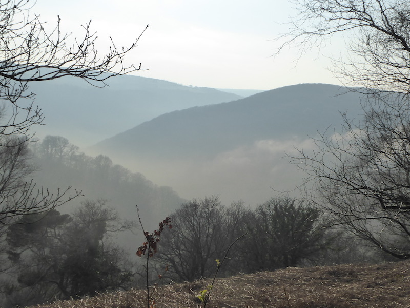
Approaching the gates of Stoke House I take a bridleway on the left heading steadily uphill, soon I am in woodland. At a fork in the track I go right continuing in a southerly direction through the trees as the route heads up Stoke Hill.
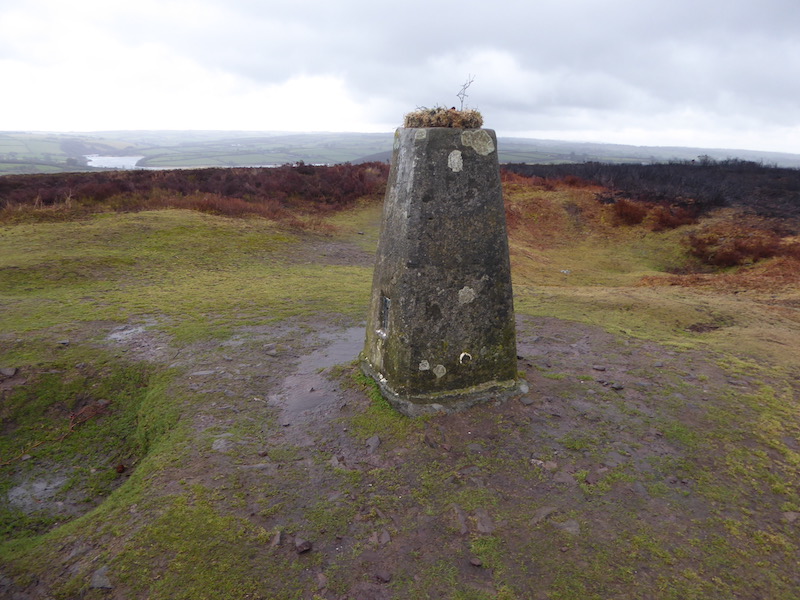
As the path levels I stop to bag the trig pillar just off the track on the edge of a field, this is the 192nd trig I have bagged.

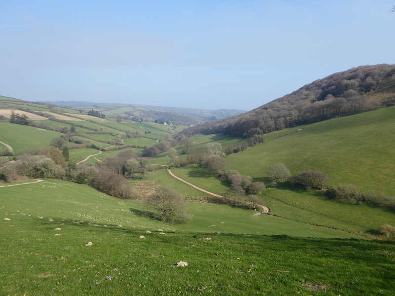
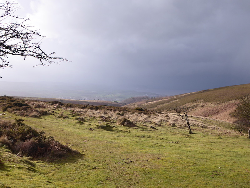
Back on the track I carry on until I reach a minor road where I turn right and descend gradually to Stoke Hill Farm where I take a footpath on the left. After going through a copse, the path reaches the edge of an arable field where a bench overlooks the valley. The view includes the busy A358, so I assume it was erected before the road became a major trunk route.

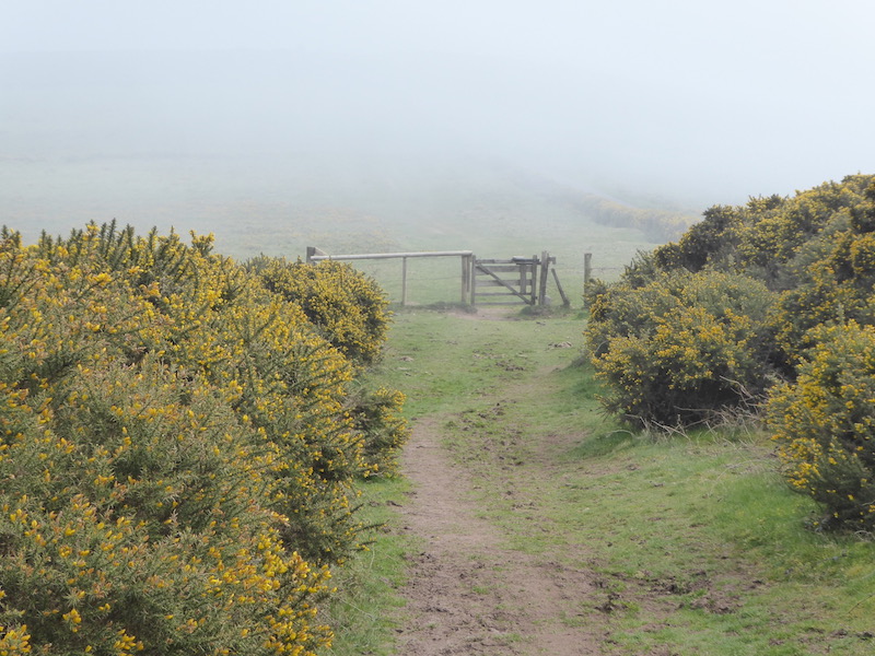
The path is well way marked and I follow it through gates to head down towards Ash passing the entrance to Ashe Farm Camping Site.

On reaching the road I turn right and after passing farm buildings take a footpath on the left leading to a field. I follow the path around the field towards the edge of woodland where the path then follows the hedge line heading south.

At a junction of paths, I turn left and walk to the edge of Huish Wood where the path turns right and goes south again. After crossing a footbridge, I enter a paddock with inquisitive horses, they decide to follow Crosby and I as we follow the way markers to a stile in the south east corner of the field.
The path now continues with a stream to the left, after passing gardens it reaches a minor road in West Hatch. Turning right I follow the road around a bend to a junction where I turn left and walk up Griffin Lane. Just before reaching Park Farm I take a footpath on the right. After going through a gate, the path crosses a field towards another gate. The recent rain has made it boggy and hard going.

This path is part of the East Deane Way and I follow the way markers to join a hedge lined track.

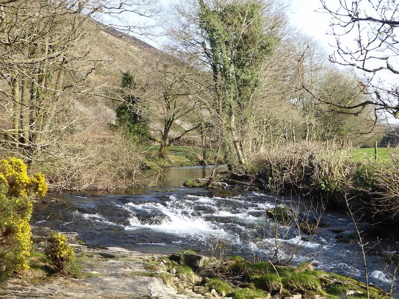
As the track descends to a stream running along the edge of Bickenhall Wood it becomes boggier and I have to choose my route with care.

The route crosses fields and goes through a fence and then over a stile to go along the edge of Boon’s Copse.

Leaving the trees, I head across fields to reach a minor road besides Boon’s Farm. I turn left and follow the road to a T-junction where I turn right towards Staple Fitzpaine. At a junction I pass the entrance to the Farmer’s Arms. Over the years I have visited most pubs in this area, but not this one.

At the junction I turn right and then within a few hundred yards take a turning on the left towards Badger Street. As the road bends to the left I continue straight on into Thurlbear Wood. Most of my walk has been accompanied by occasional rain showers, but now it is pouring down.

At a junction of footpaths, I turn right and continue through the trees descending steadily to reach Thurlbear close to the attractive 12th century St Thomas’ Church.

On the road I turn right and continue through the village passing the Primary School before taking a footpath on the left just before Greenway Farm. This leads by farm buildings and then picks up a track besides a hedge.
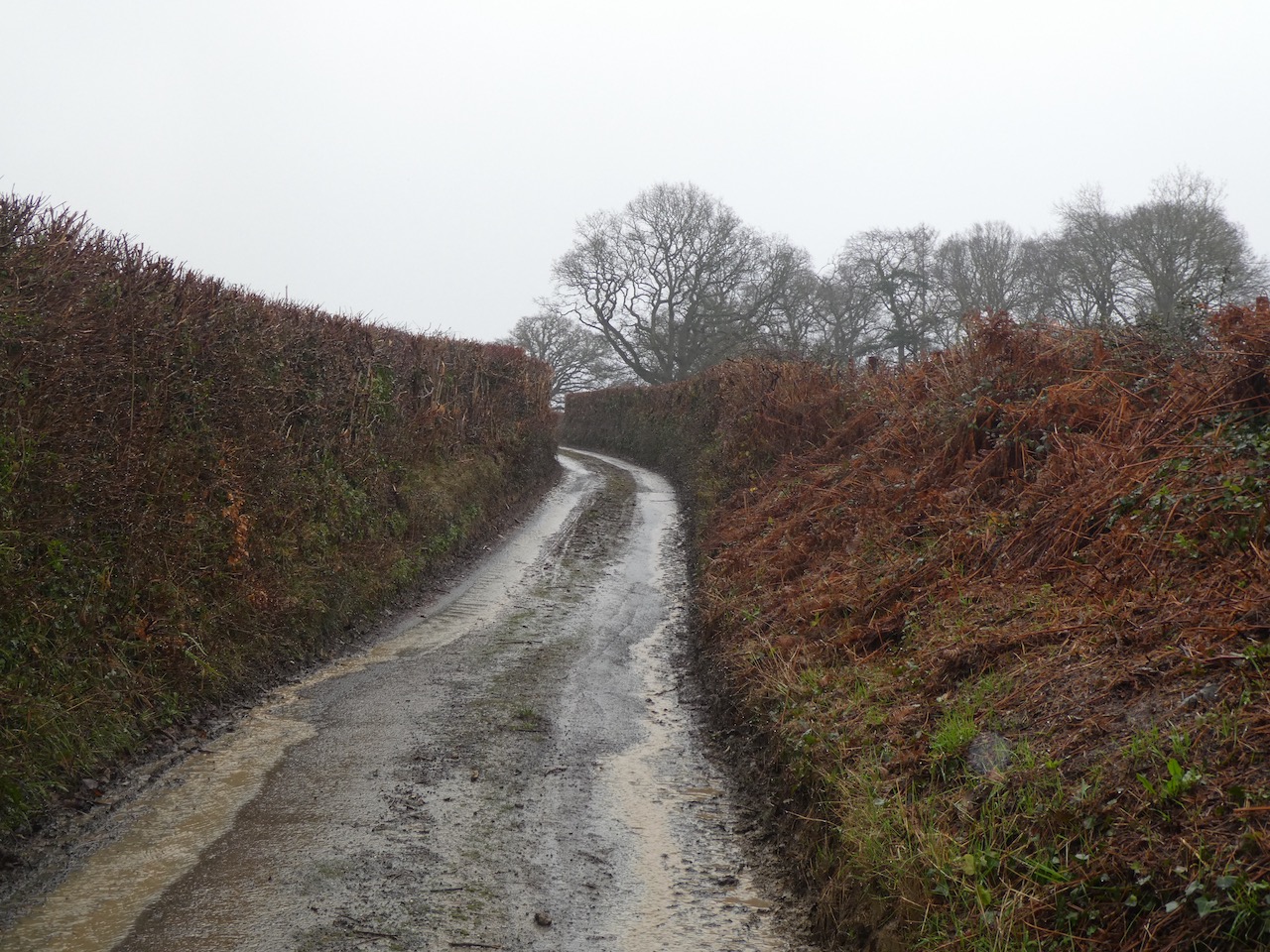
At a junction of paths, I turn right and follow this route across fields towards Stoke St Mary. As I near the edge of the village the path is running like a stream.

I arrive in the village opposite the village hall to reach my starting point. My walk has covered 7 miles and despite the rain has been a pleasant few hours rambling about.
To follow my walk, you will need Ordnance Survey Explorer Map OL128 – Taunton & Blackdown Hills
You can view this 7 mile walk on OS Maps and download the GPX File Here
Additional Information
For more information on this walk including car parking, amenities, refreshments and detailed walking directions visit my associated Walking Moonraker website.
9th January 2020
© Two Dogs and an Awning (2020)
All information on this site is provided free of charge and in good faith and no liability is accepted in respect of damage, loss or injury which might result from it. To the best of my knowledge the routes are entirely on public rights of way or within areas that are open for public access.
Walking can be hazardous and is done entirely at your own risk. It is your responsibility to check your route and navigate using a map and compass.