When planning today’s walk I decided it would be good to set off from the site again. The continuing rain showers mean there is no sign of the site drying out and I am very conscious that moving the car will create a mess of the field. Scanning the map yesterday evening I spotted a nearby trig point baggable on a circular walk to Bourton-on-the-Water.
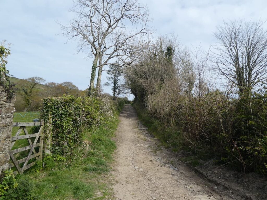
We leave the site and turn right along the track to pass the nursery’s polytunnels and stay with the track as it passes riding stables and then heads downhill to a junction of paths. Here we turn right to join the route of the Oxfordshire Way.

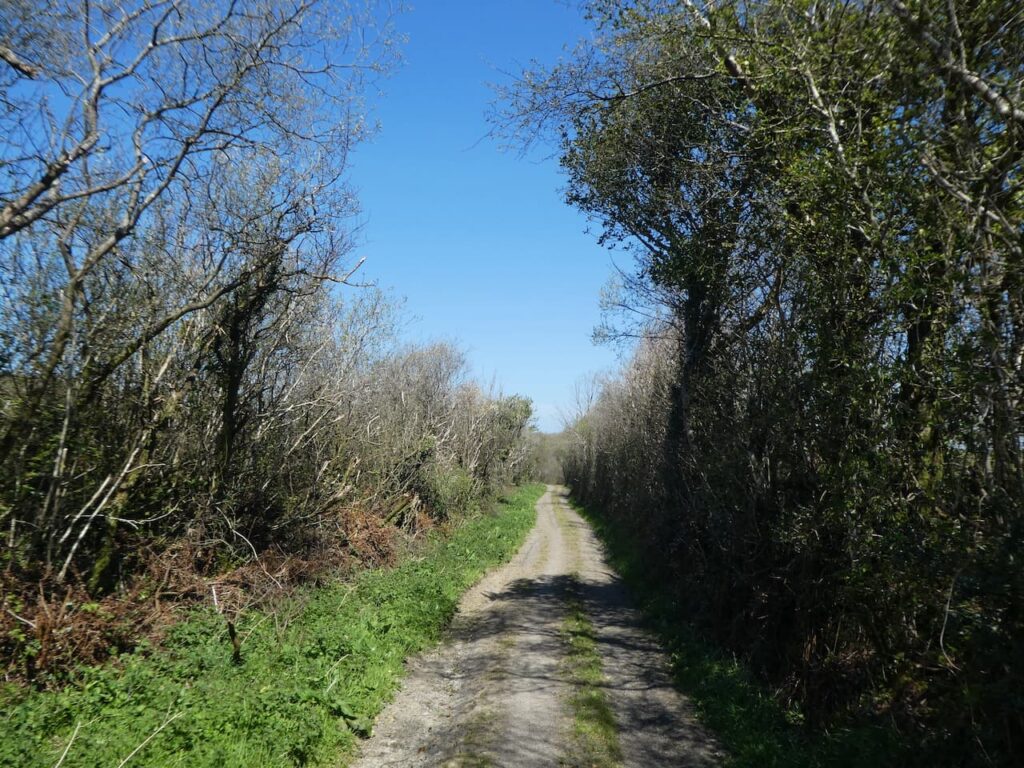
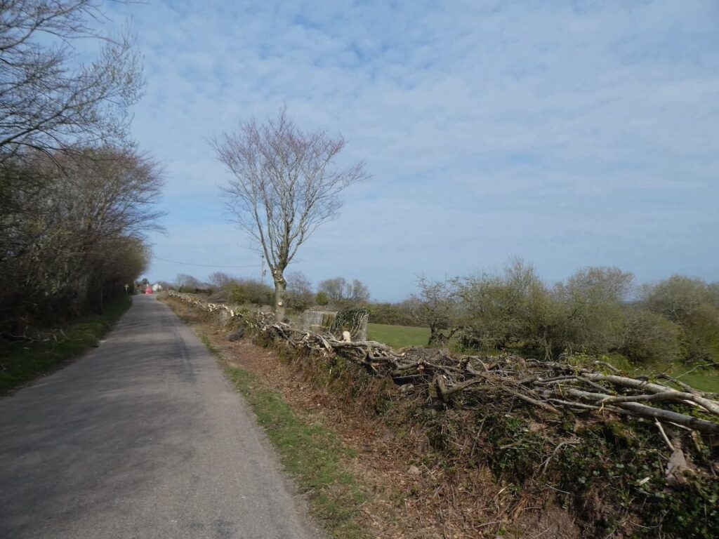
The path continues as a track and we stay with it ignoring a path on the left which leads over a bridge, we are walking with the Westcote Brook to our left and the path soon becomes muddy. It is not clear if this is due to the recent rain or if it is always a muddy spot, but we are able to find a way through the puddles and are grateful when the route reaches the edge of fields.

We stay with the Oxfordshire Way along the edge of a field passing ponds. There is a notification from the Council that the route has been officially diverted, meaning we go around the headland of the field rather than straight across. I am always happy to see such diversions as long as the path is clearly signed. There is nothing more frustrating than trying to follow a route which is not on the map. Fortunately this route is well marked.

At a junction of paths with the Diamonds Way we stay with the Oxfordshire Way heading towards Gawcombe. This is an old estate with Gawcombe House dating back to the late 1600’s. As we near the farm buildings the path goes to the right around barns.

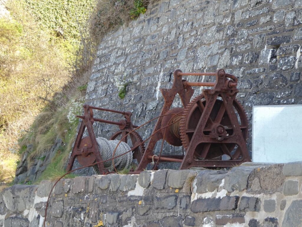
As we pass the farm there are bits of old farm machinery by the barns. It is always good to see old machinery being displayed rather than left discarded in the hedgerow.

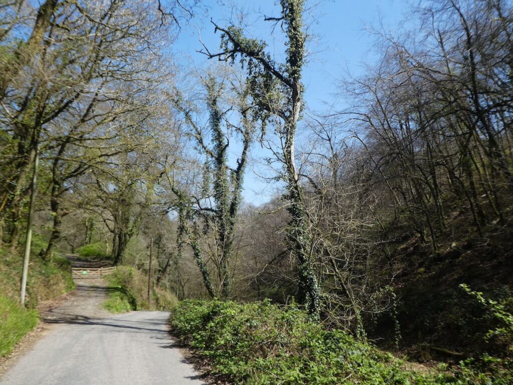
From the farm we continue up the driveway to reach the A424 where we turn left and then cross the road to follow the Oxfordshire Way as it heads through woodland.

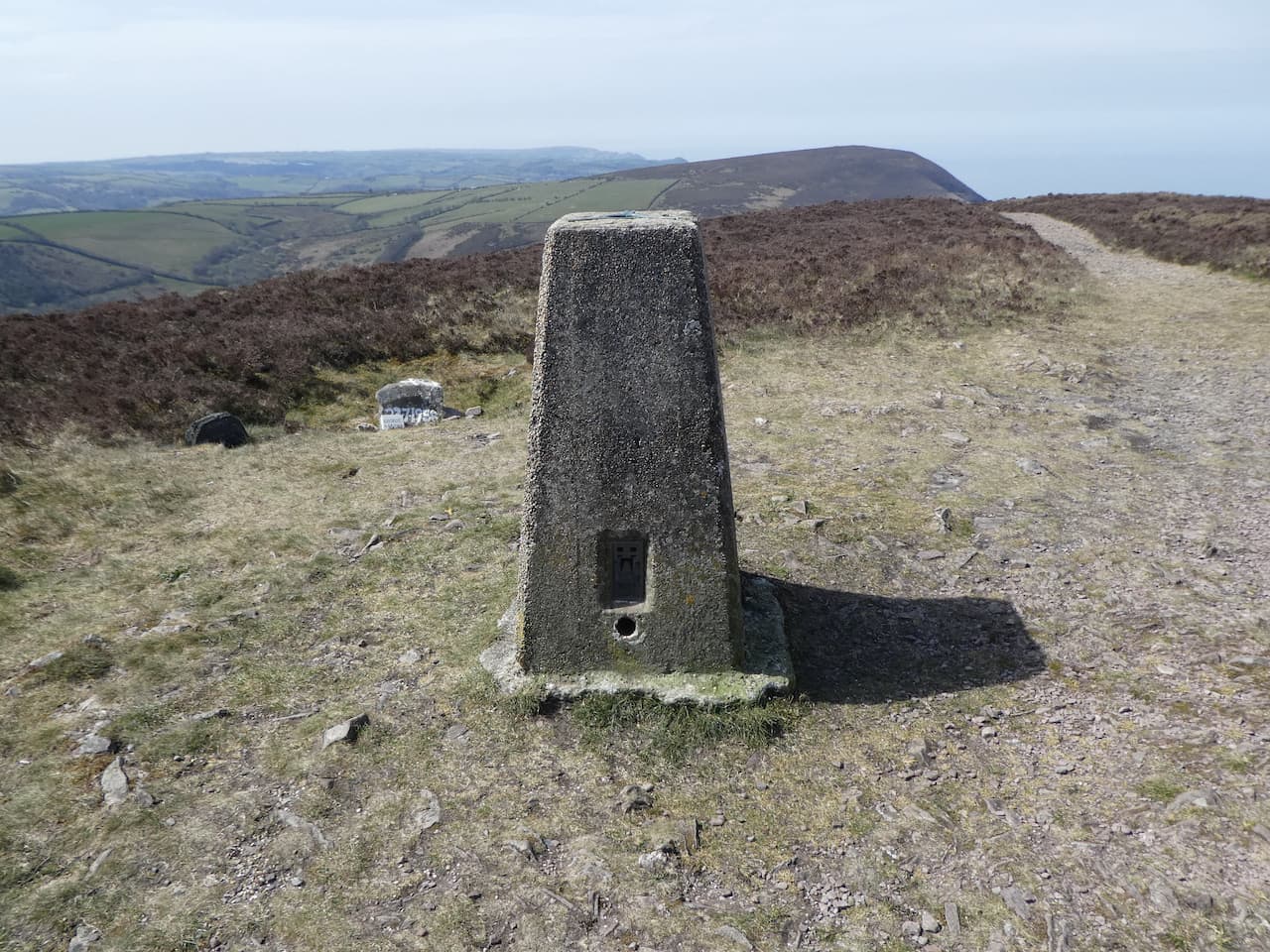
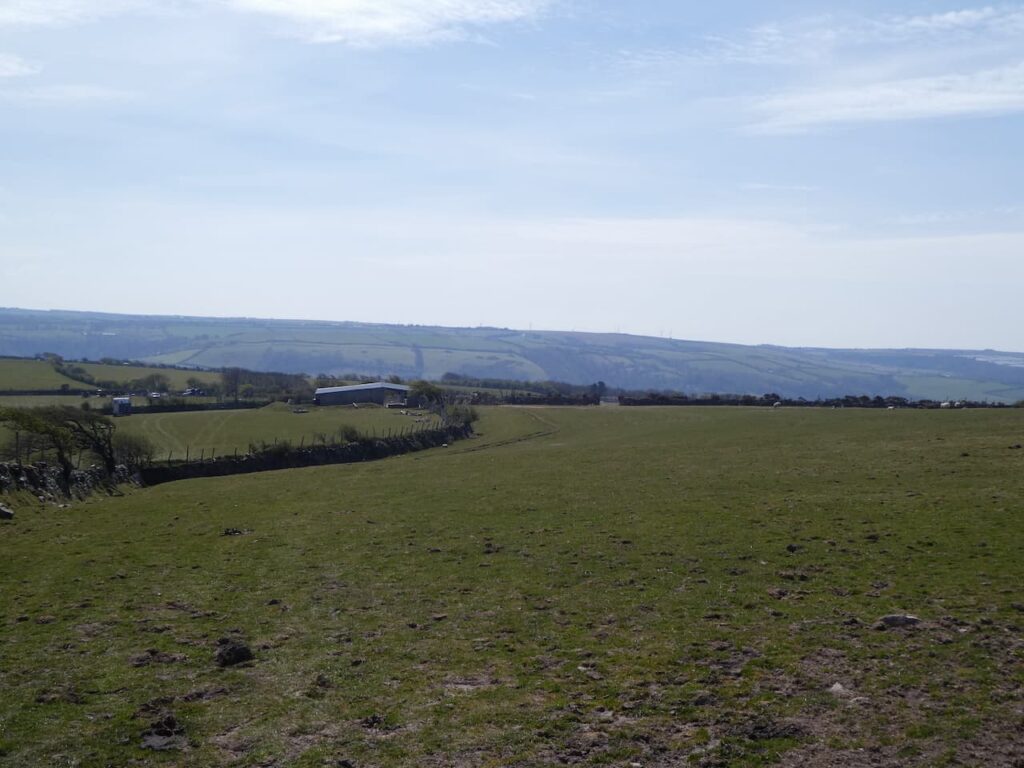
The path leads through the trees and then stays with a fenced path between fields. After all the recent rain we have experienced it is good to be walking in sunshine. I know the trig point I am aiming to bag is in a small clump of trees in the field to our right.

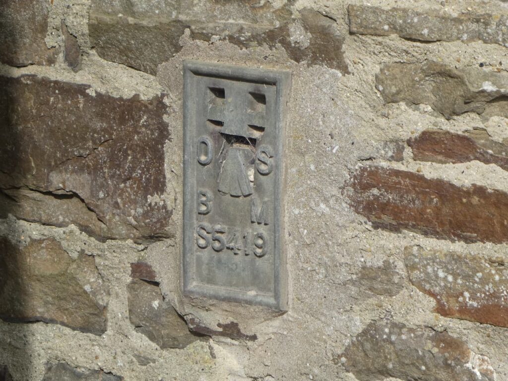
As the path nears a road I make a brief diversion by hopping over the fence to bag the Ordnance Survey trig pillar at Wyck Beacon. This is the 246th trig I have bagged.

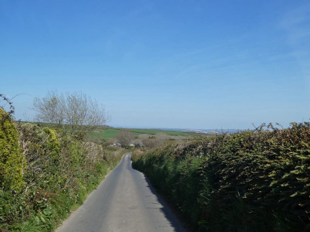
From the trig I rejoin Lynnie and Crosby and then we continue along the path to reach the road. Where we turn right and then almost immediately take a single tracked road on the left signposted to Wyck Rissington.

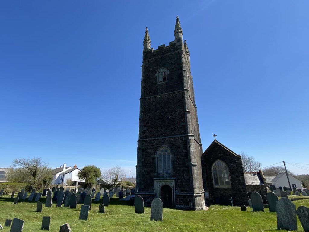
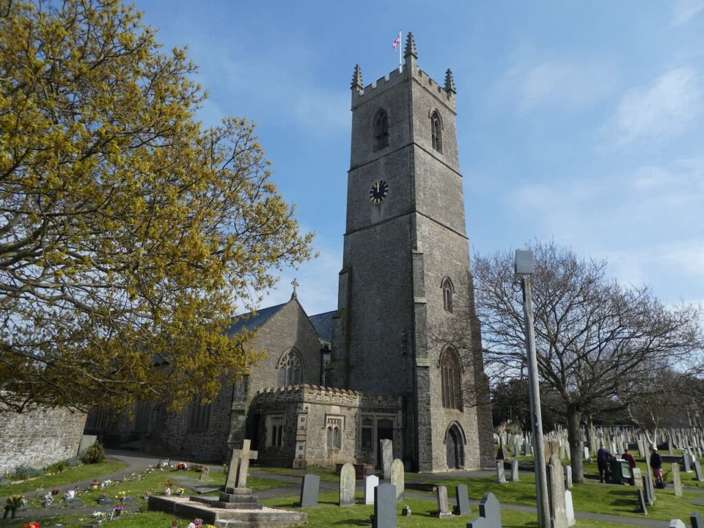
The road descends towards Wyck Rissington and at the bottom of the hill we follow it as it turns to the right into the village. We avail ourselves of a bench in St Lawrence’s churchyard for our lunch stop. The church was built in 1269 and it is reported that the composer Gustav Holst, of The Planets fame, was the resident organist in the early 1890s.

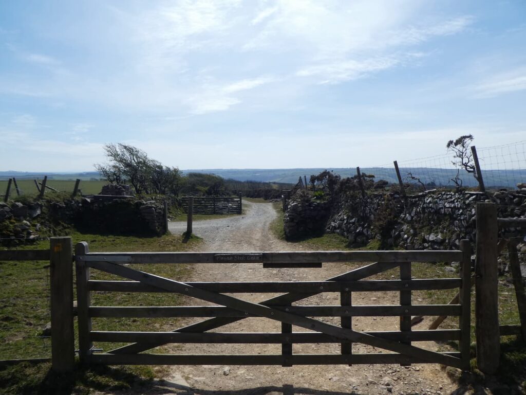
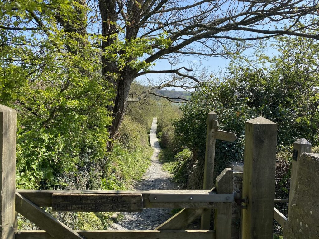
Refreshed we leave the churchyard and turn left to walk out of the village heading south. Where the road bends to the left we continue straight on along a track and continue through a gate. After all the muddy walking we have done over the last few days it is a relief to be on firm ground.

The track leads us to a pasture field which is particularly interesting as it is a ridge and furrow field. This is an amazing example of these ancient fields which were created by the continuous ploughing in the same direction. In the Middle Ages each strip would be farmed by one family. Modern farming ploughing and cultivating methods would destroy these ridges so it is hundreds of years since this field was last cultivated. Fields like this tend to remain on boggy land, the ridges providing drier pasture for livestock.

We stay with the path heading south across fields to reach St Peter’s Church on the edge of Little Rissington. Parts of this church date back to 13th 14th and 15th centuries. It was restored around 1850 and further altered in 1883.

Our route turns west on a path descending fields close to a gate on the north west corner of the churchyard. This route, which is not initially clear in the field, heads downhill heading towards Rissington Mill.

After crossing three fields we reach the mill driveway and continue on a footpath along it. As the drive nears the mill we take footpath on the left and continue heading west to cross a stream.

We now follow a well walked path to reach a gate to access land. Here we encounter a very deep puddle on the far side of the gate. I take a look but there is absolutely no way we are going to get through without getting our boots full of water. It is clear that the depression in the field is not a recent thing and the landowner must be aware that it fills with water, but I suppose it is one way of keeping folk off your land!

Cursing I consult the map and spot an alternative route, so we turn around and head back across the field to cross the stream. Just before reaching the driveway to Rissington Mill we take a footpath on the right which heads south towards the sewage works.
After following the path around the fenced sewage works we cross a field towards a minor road

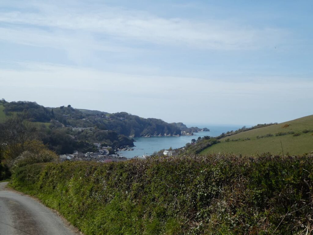
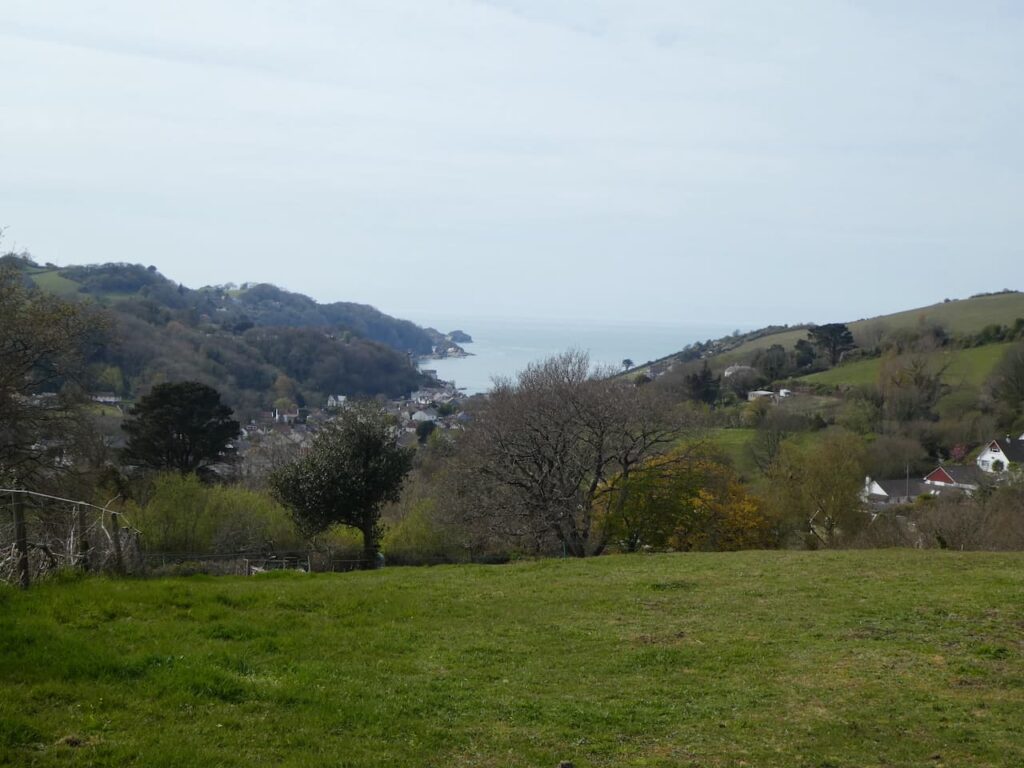
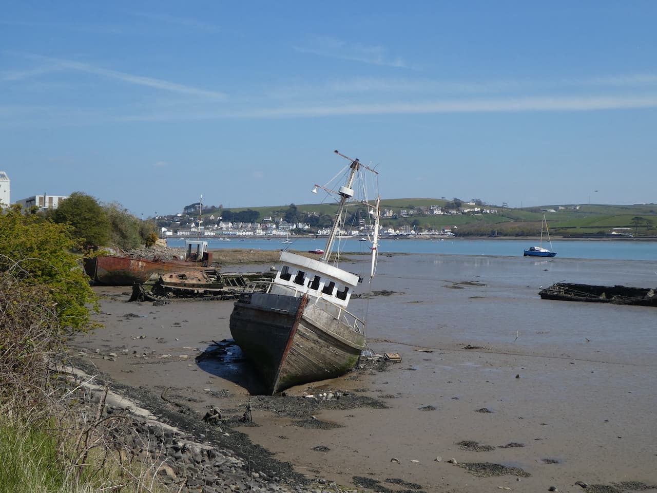
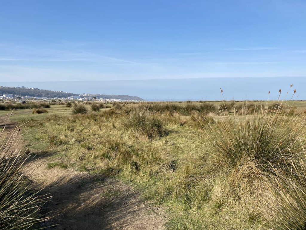
On reaching the road we turn right and follow the lane down to reach a road heading to Bourton-on-the-Water. Soon there is a pavement beside the road and we walk along until just after the Bourton-on-the-Water sign where we turn right to take a footpath heading towards lakes. The path soon passes the lakes which were created from redundant gravel pits and are now popular spots for fishing.

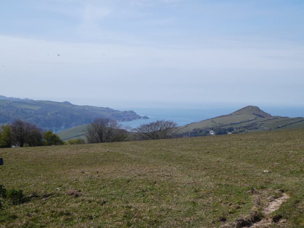
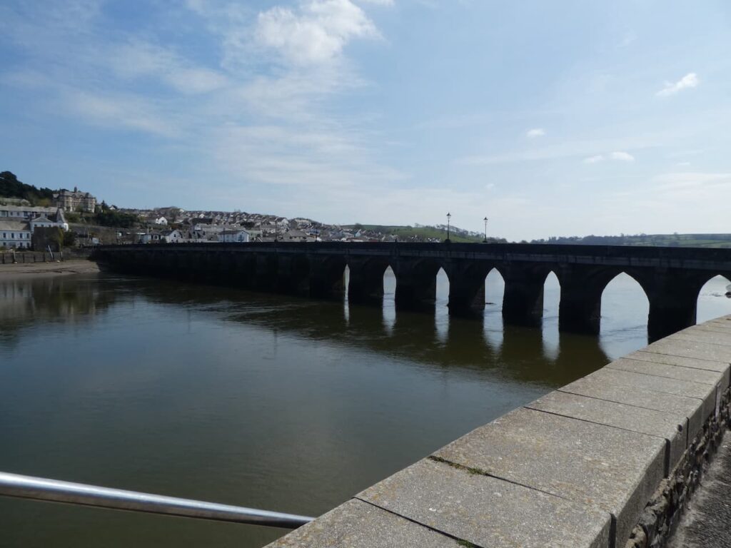
There are a network of paths here leading to the centre of the village, we choose to keep on the same path until we reach a track where we turn left and wander down to the main road where we turn right. Since the start of the Covid pandemic we have been avoiding crowded places and we are surprised at how many people are wandering around Bourton-on-the-Water, it’s packed. It is an attractive quintessential Cotswold village, but is a bit too chocolate boxey for me.

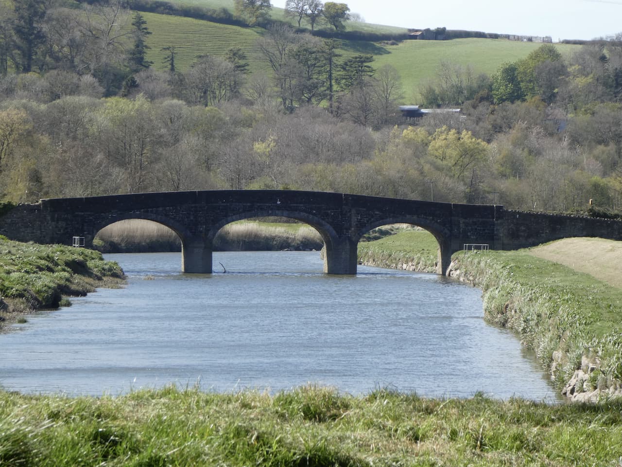
In normal circumstances I would tolerate the crowds, but currently they make me feel uneasy so we take the obligatory picture of one of the bridges over the River Windrush and then plot our route out.

We wander down to the High Street and turn left and follow the road along until we reach the entrance to St Lawrence’s Church. Now we take a footpath which leads through the churchyard heading north.

After going through some metal barriers we turn right along a path besides the edge of the church yard. This eventually leads to Moore Road where we cross and continue along a footpath which has a sign for car parking. The path leads to Station Road where we turn left and pass a large car park and petrol station.
At a junction we go right into Roman Way and then fork right into Moor Lane. This lane is on the route of the Oxfordshire Way and is heading towards Moors Farm. When we reach a footpath on the right we leave the lane, and the Oxfordshire Way and take the path across a field and cross a stream. We are now on part of the Greystones Farm Nature Reserve and we follow a path going in a north easterly direction to rejoin the Oxfordshire Way.

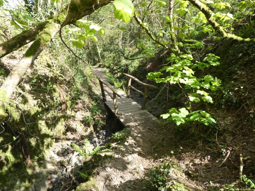
The sun is shining and after the hustle and bustle of being in Bourton-on-the-Water it is very pleasant to be back in the open countryside. The route is clear and easy to follow and we soon reach a tranquil spot where a bridge crosses a stream.

The Oxfordshire Way leads us to a minor road in Wyck Rissington where we turn right and then soon take a footpath on the left which follows a track across the village green.

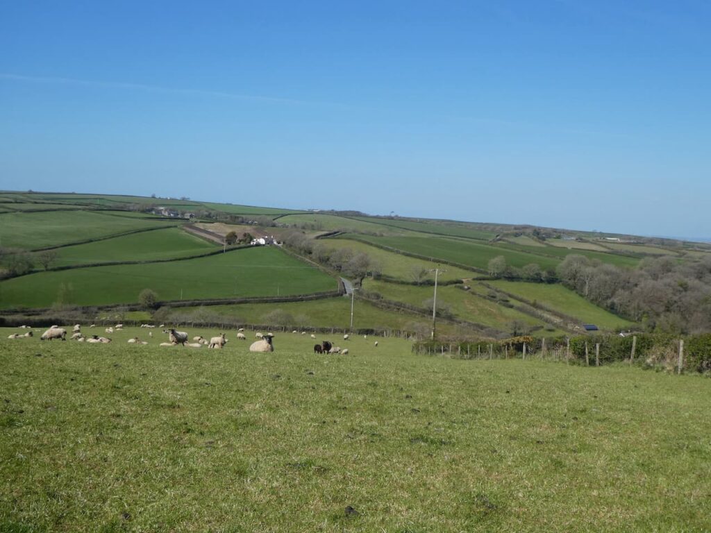
We follow the track until it reaches a house, here the footpath goes through a gate on the left to enter a field. The path gradually ascends to woodlands and there are some good views across the valley.

The path skirts the edge of a copse and then goes through a gate to continue ascending through the trees.

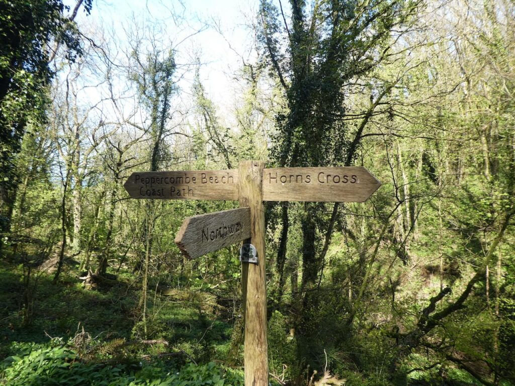
The route is waymarked and we follow the signs to reach the A424 which we cross and continue to follow the way-markers as we head towards The Granary. To our left across the field is a TV transmitter mast.

The path leads through the woods close to the Granary and then passes farm buildings as it heads east towards a minor road where we cross and follow the footpath sign to cross a field.

After going through another field we continue downhill to reach a cracking old metal kissing gate with the grounds to Icomb Place to our right.

Arriving in Icomb we turn right and continue through the village to pass the church of St Mary and continue along a track leading towards Middle Farm.

On reaching a footpath on the left we leave the track and cross a stream and continue heading east across fields. After going through gates the path continues beside a field and runs alongside the wall of Lower Farm.

The route is clearly marked and continues across further fields to reach a meadow.

Through a further field we arrive beside the gate of Pebbly Hill Nurseries CL.
You can view this 13.5 mile walk on OS Maps and download the GPX File Here
To follow my walk you will need Ordnance Survey Outdoor Explorer OL 45 – The Cotswolds
22nd May 2021
© Two Dogs and an Awning (2021)
All information on this site is provided free of charge and in good faith and no liability is accepted in respect of damage, loss or injury which might result from it. To the best of my knowledge the routes are entirely on public rights of way or within areas that are open for public access.
Walking can be hazardous and is done entirely at your own risk. It is your responsibility to check your route and navigate using a map and compass.