Category: South West

  • Barrows and Combes On Dunkery Hill

    Barrows and Combes On Dunkery Hill

    After a couple of days walking from the caravan site I have decided it is time to get in the car to venture to a slightly different area.  Today I plan to walk up to Dunkery Beacon, a hill I have walked many times.  However, today I am going to ascend it on a path I have never walked.

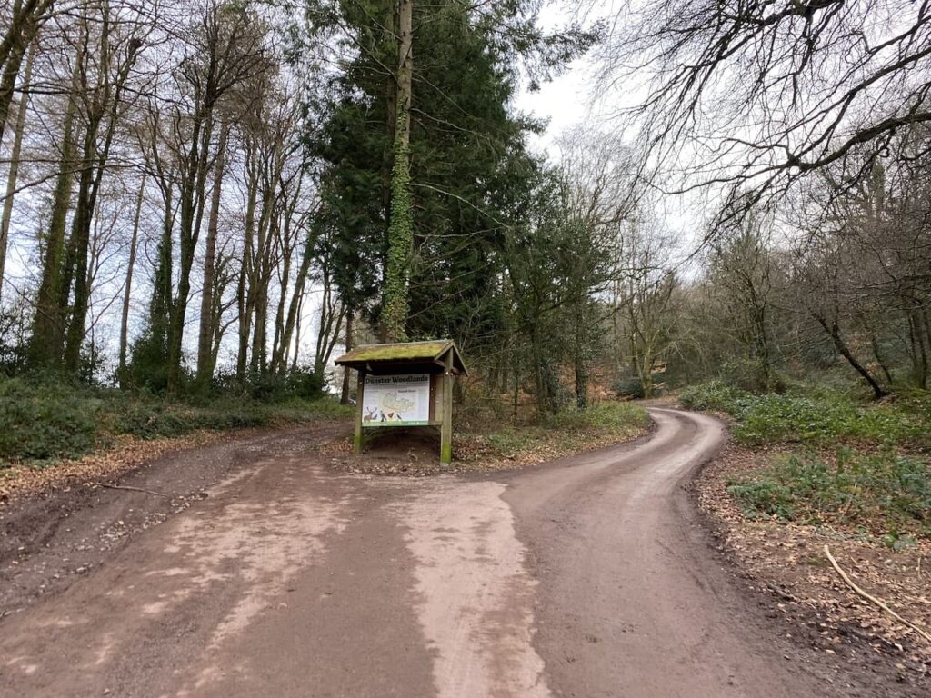
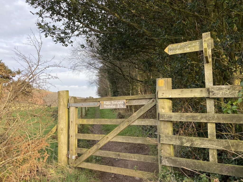
    The starting place for my walk is the National Trust car park in Horner (Grid Ref SS898455).  I leave the car park by the path besides the pay and display machine and then join a minor road where I turn left soon passing Horner Mill, built around 1839.  After passing the mill I take a footpath on the right which goes through tall deer gates.

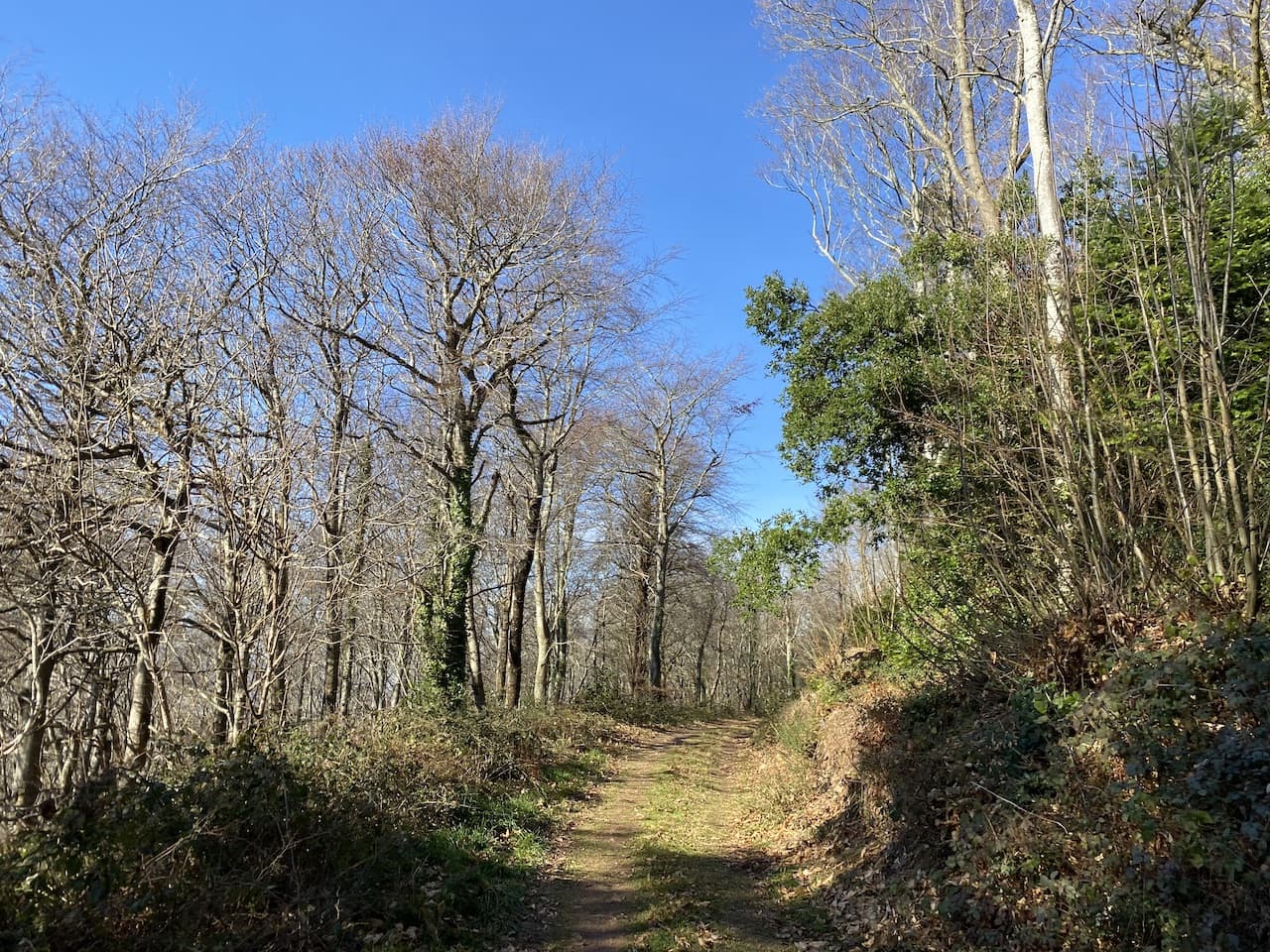
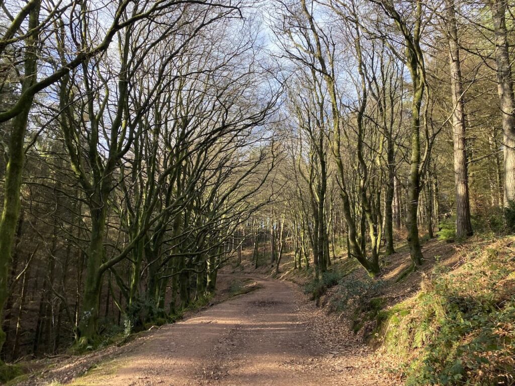
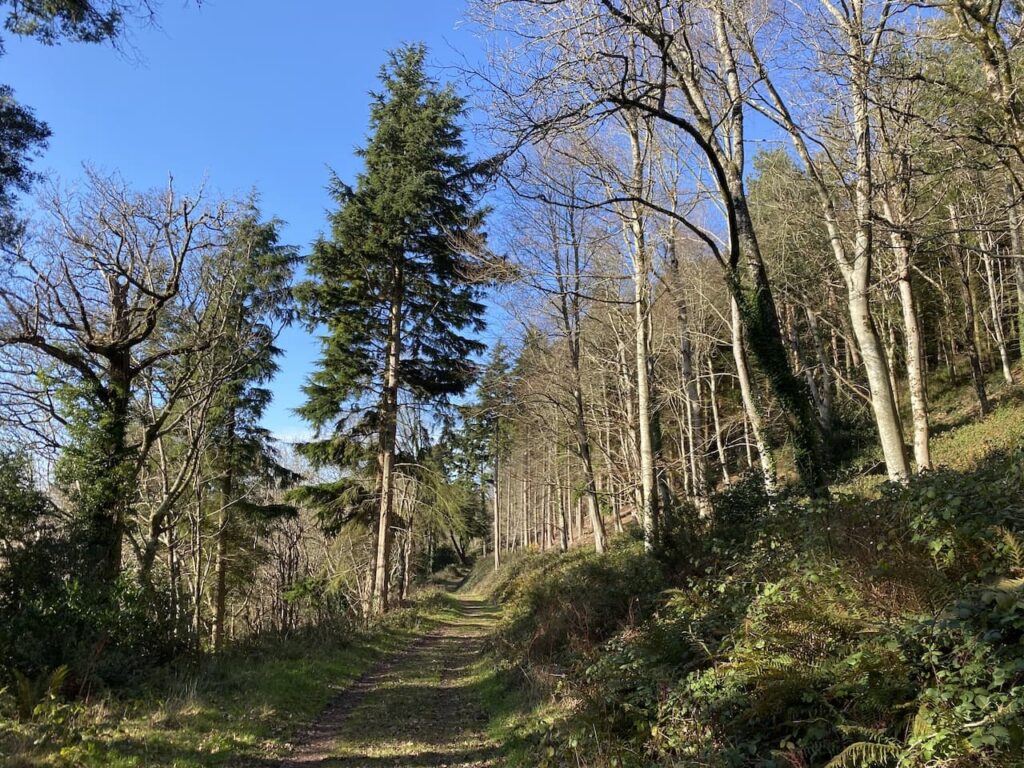
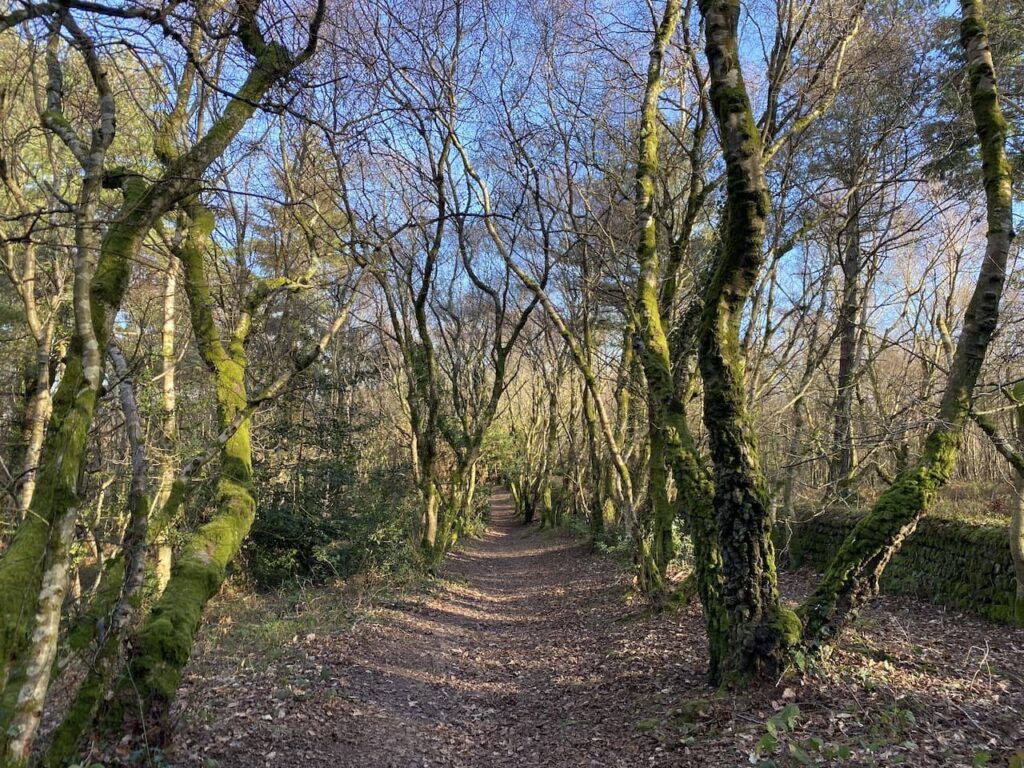
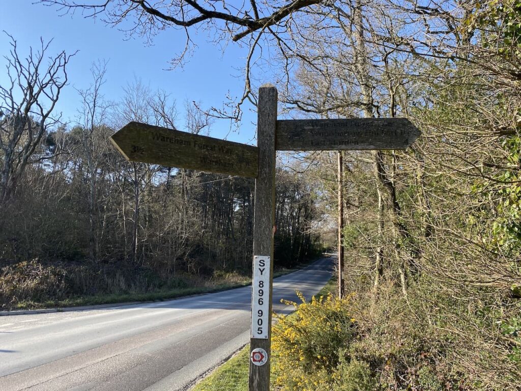
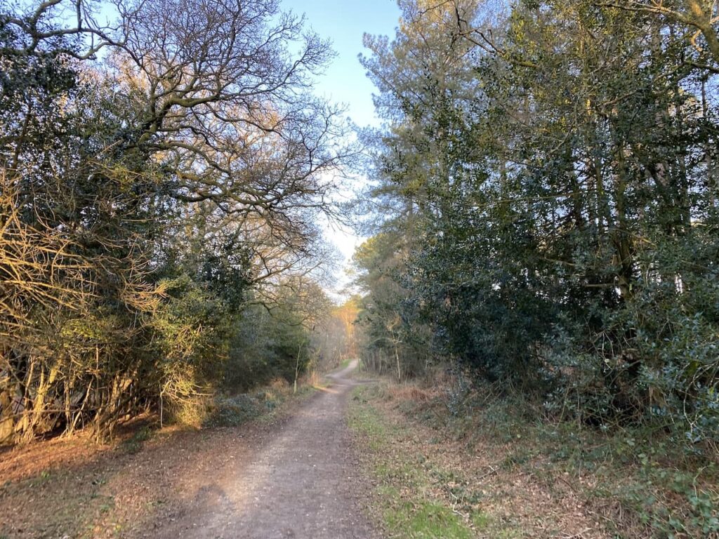
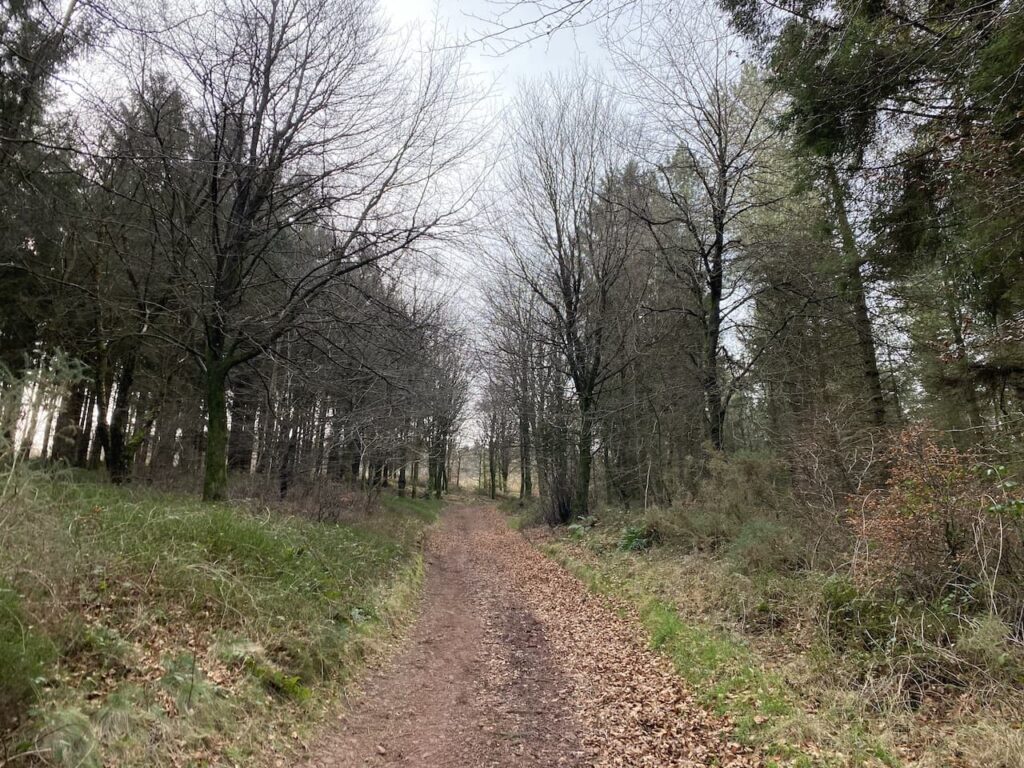
    This path follows a wide track uphill through Horner Plantation.  I am on the route of the Coleridge Way, this long distance trail covers the fifty miles from Nether Stowey, on the east side of the Quantocks, to Lynmouth linking locations associated with the poet Samuel Taylor Coleridge.  

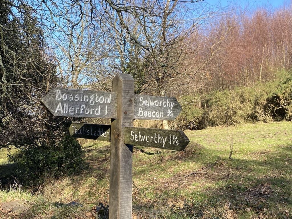
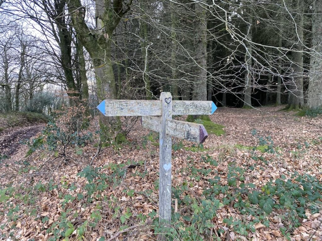
    At a junction of paths I turn right in the direction of Webber’s Post following the Coleridge Way markers, annotated with a writing quill. 

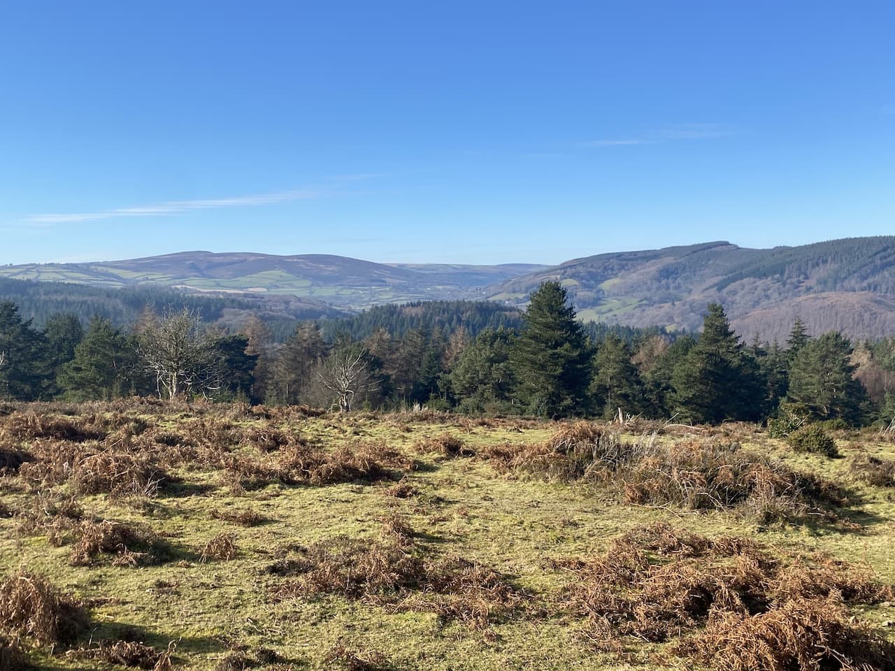
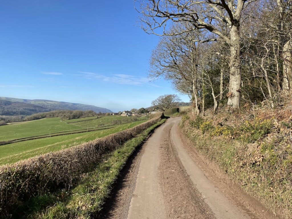
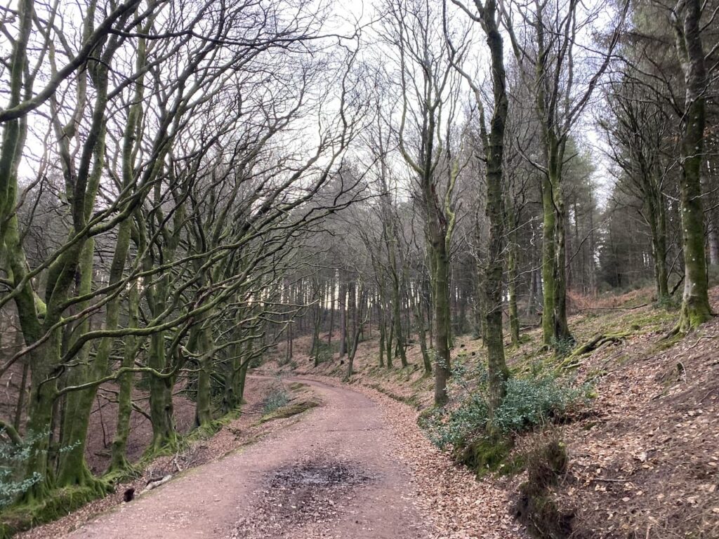
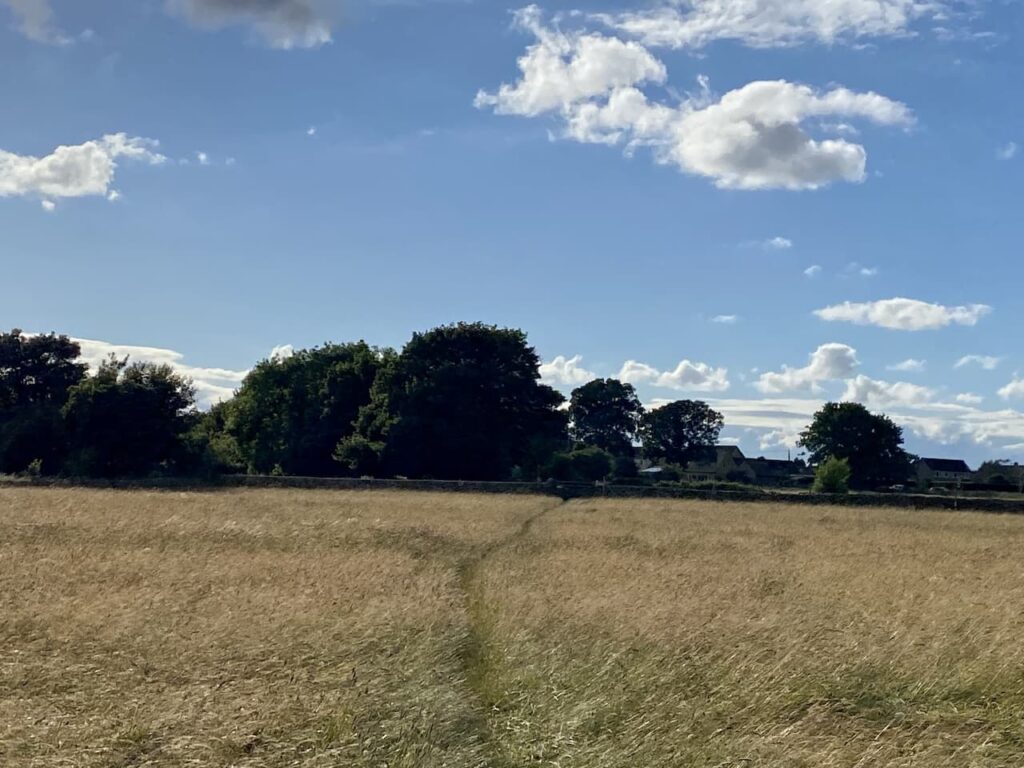
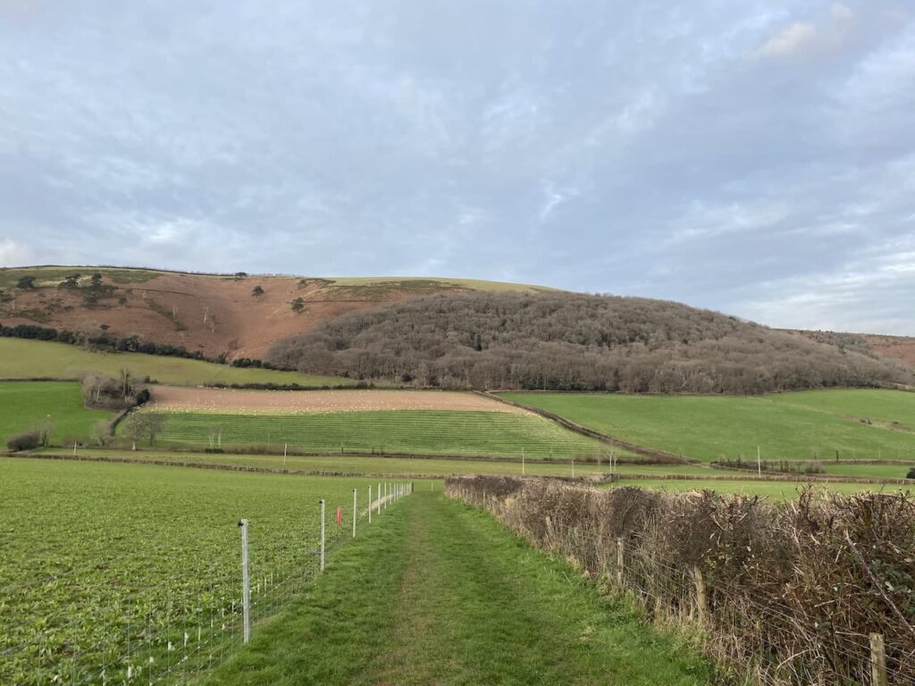
    Ignoring paths to the right and left I gradually ascend Horner Hill keeping with the route of the Coleridge Way.  It is a cracking day and I soon get good views of Ley Hill on the opposite side of the combe.

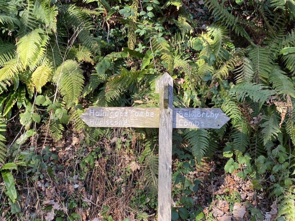
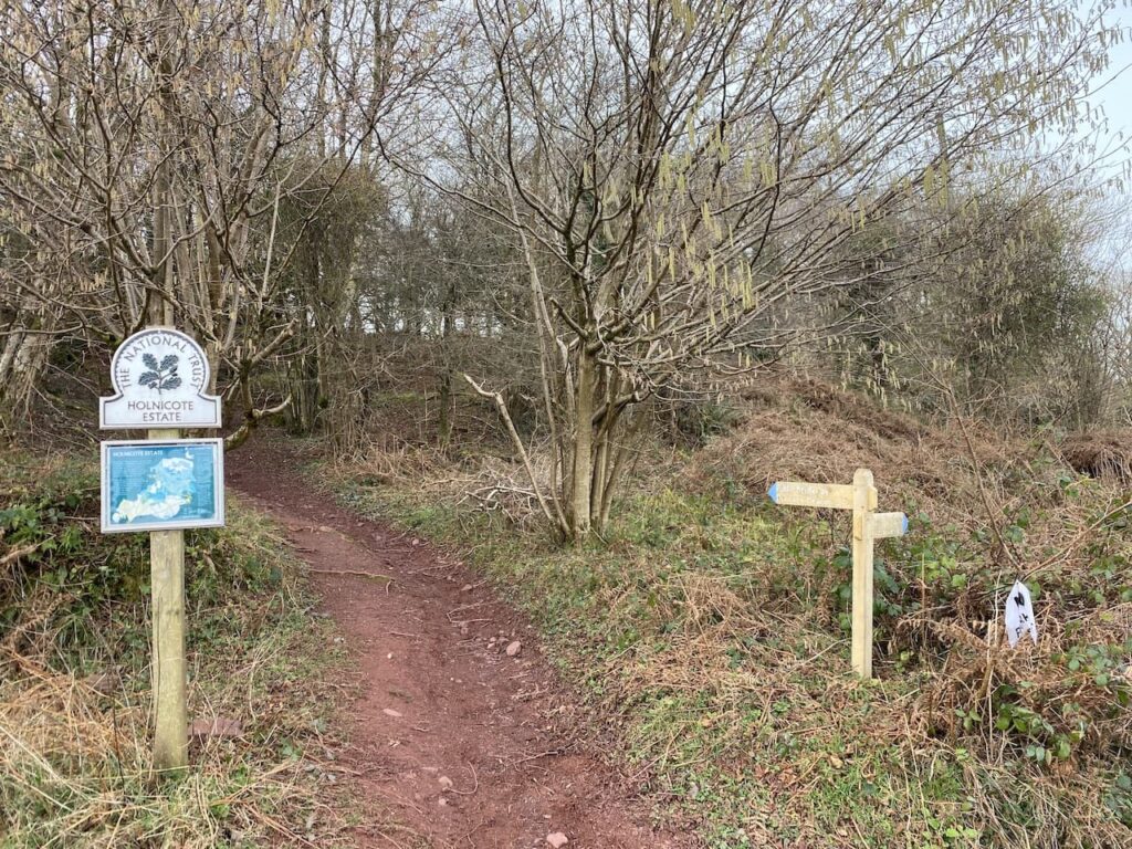
    This area is part of the Holnicote Estate, the Acland family seat for the best part of 300 years before Sir Richard Dyke Acland, 15th Baronet, donated both this and the Killerton Estate to the National Trust.  The land covered 16,000 acres and was the largest donation received by the National Trust.

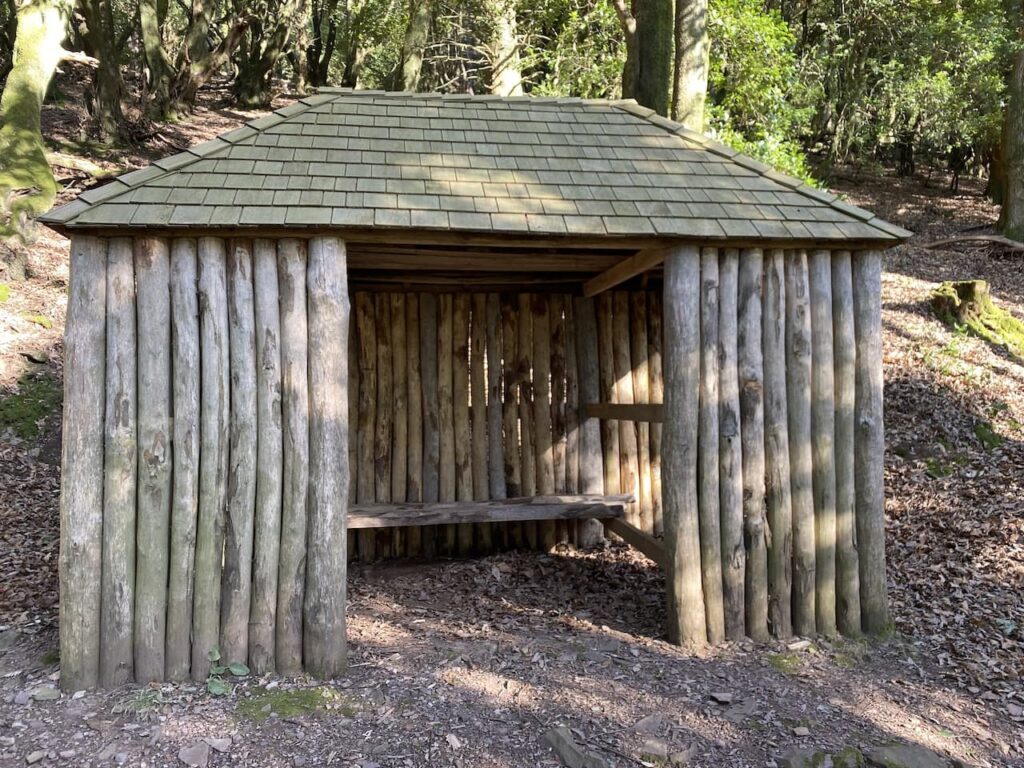
    On top of Horner Hill there is a weather hut, thought to have been originally built by the Acland’s to celebrate Queen Victoria’s Diamond Jubilee, it became known as the Jubilee Hut.  During World War II it was used as a look out post, but then fell into disrepair and collapsed in the winter of 1946.  The National Trust have rebuilt it following the original design, facing four directions it always provides shelter from wind and rain.

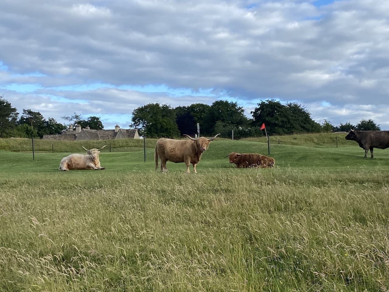
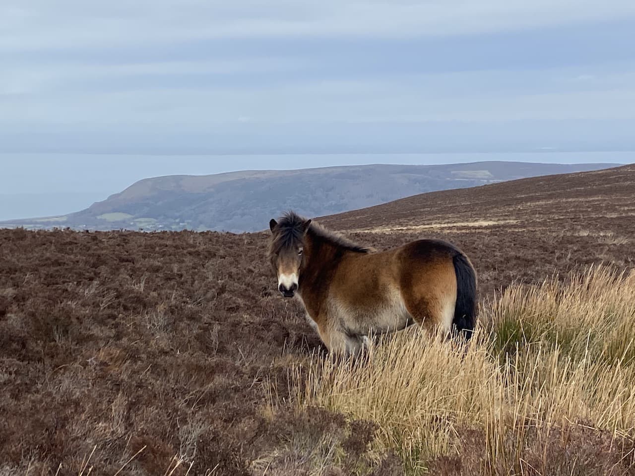
    I now continue along the Coleridge Way to reach Webber’s Post car park.  Here the route goes in a south easterly direction to cross a minor road and then after going through a thicket reaches another minor road which I cross and go into another parking area. This is a bit of a sun trap and the Exmoor ponies appear to have chosen the spot for some winter warmth.

    From the car park I follow the Coleridge Way as it goes uphill still heading south east.

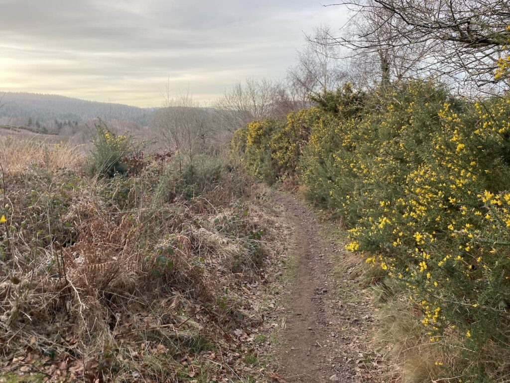
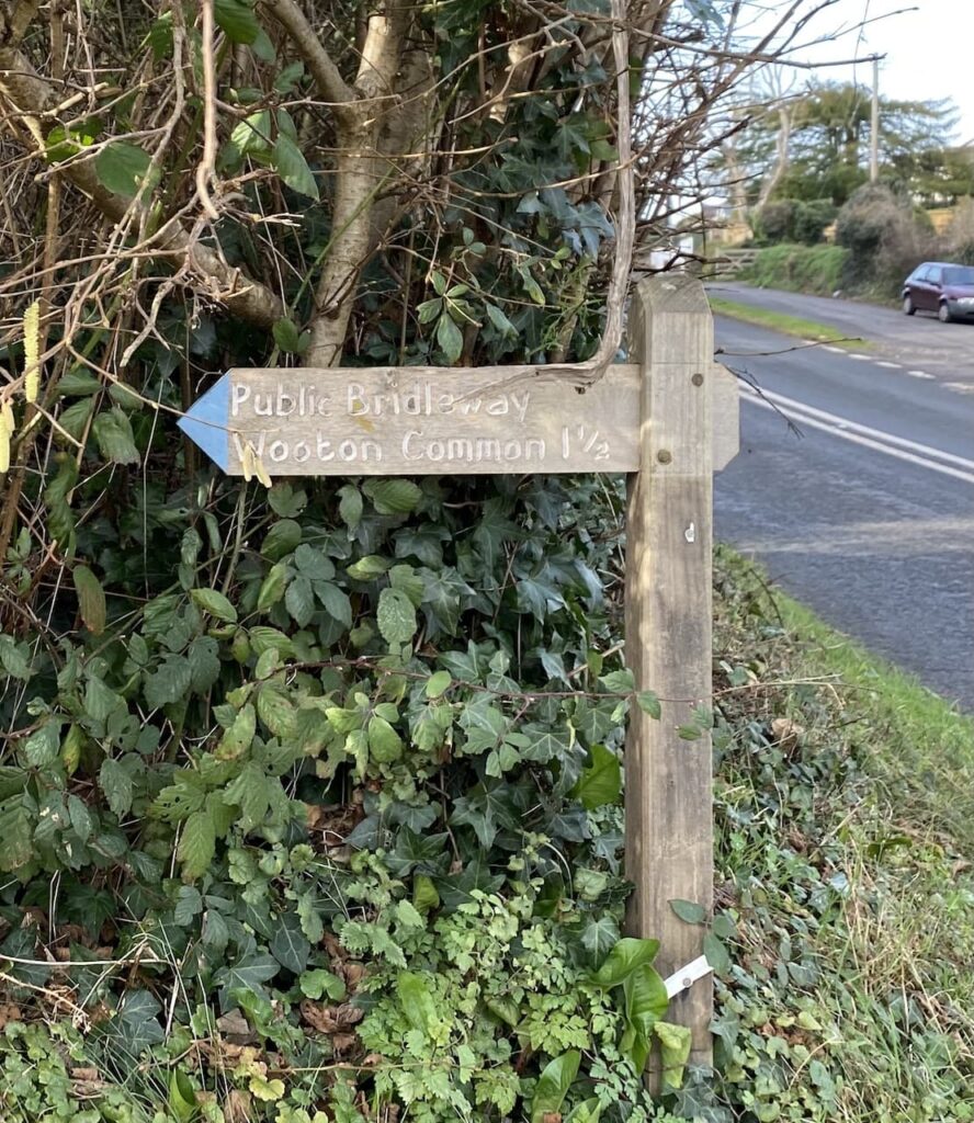
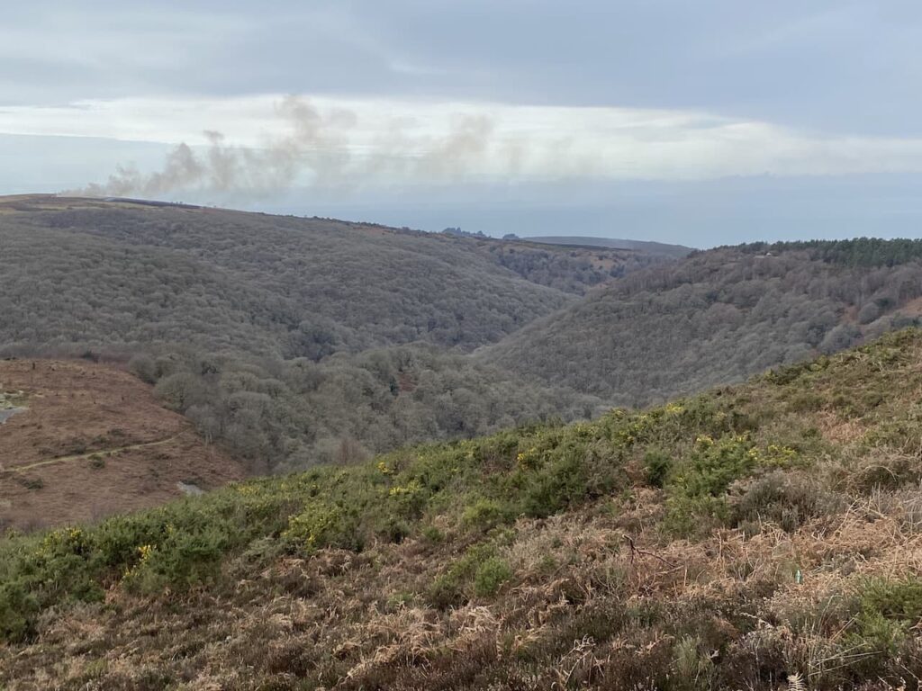
    At a junction of paths I turn left on the Coleridge Way heading towards Wooton Courtney.  I have passed a couple of warning signs indicating there is gorse clearing work going on in the area.  In front of me I can see smoke rising from the controlled fires.

    The path goes close to the area being burnt, but the chaps supervising the fires make sure I can pass safely.  One of them has a chat with me about the methods by which gorse is controlled in this area of the moor.  It needs to be kept back otherwise it would smother everything and apparently an added bonus of fires is it regenerates the growth of heather.

    The challenge for these chaps is knowing which way the wind will take the fire, apparently it has changed direction three times in the last forty minutes.  Currently it is blowing from the east so as I continue along the path I know the smoke is blowing in the opposite direction.

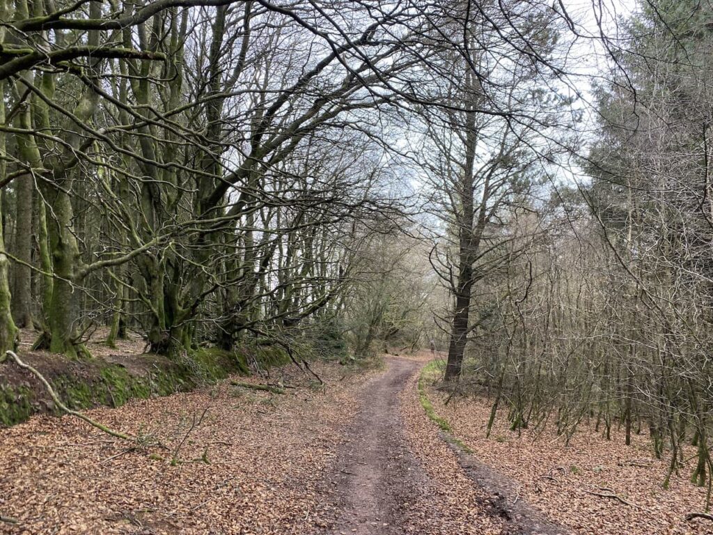
    Nearing woodland I take a path on the right and follow the contour line heading south.  I soon reach the route of the Macmillan Way West.  A right turn here would take me up towards Dunkery Beacon, but instead I turn left and descend a few yards to reach a path on the right.  I have now rejoined the Coleridge Way and head steadily uphill.

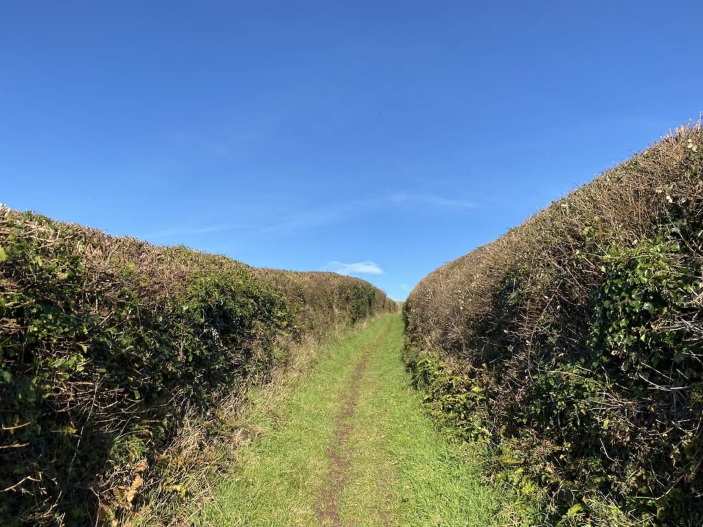
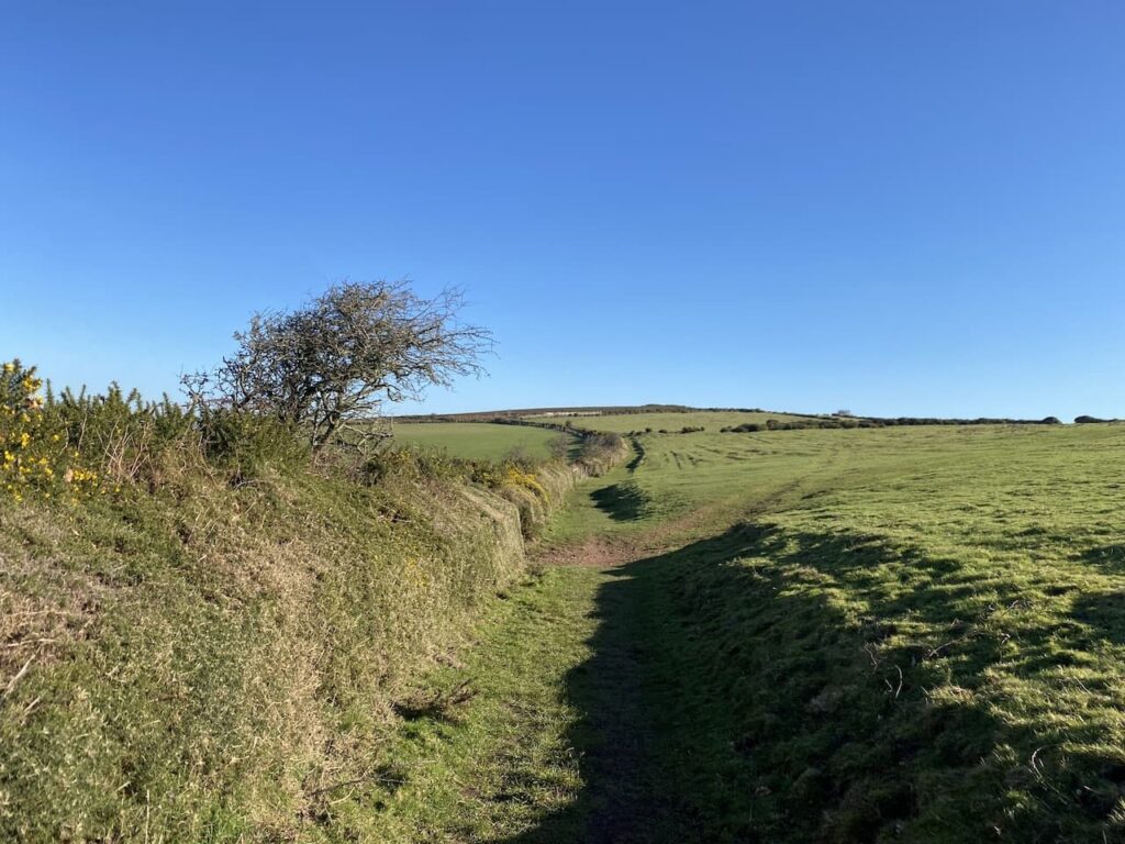
    There are a couple of paths leading off the route but I stay with the Coleridge Way and skirt round a field and then start going downhill.

    I know if Lynnie was walking with me she would now be questioning the route and demanding why if we are walking up Dunkery Hill we are going downhill.  Of course the answer to the question is to see where the path leads.  

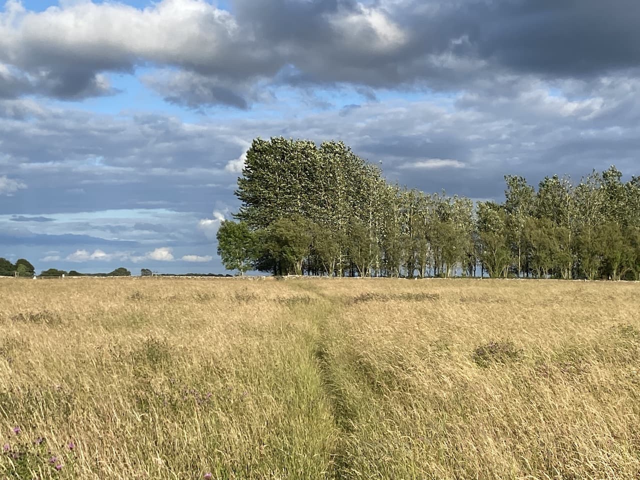
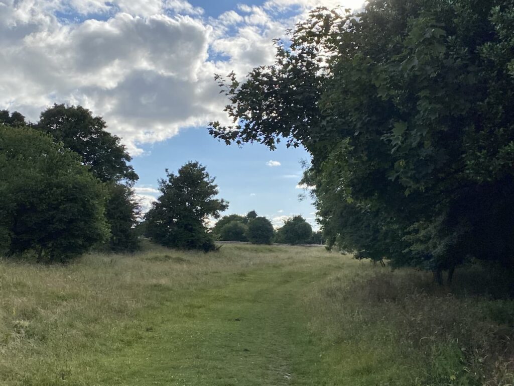
    This path leads into Hanny Combe and it is a stunning spot.

    I cross a stream and then it is a short steep ascent to reach a junction of paths.  I go to the right to follow the Coleridge Way towards Spangate.

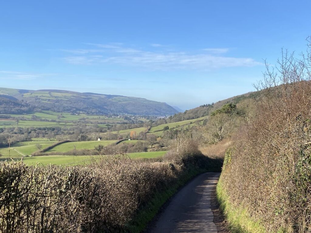
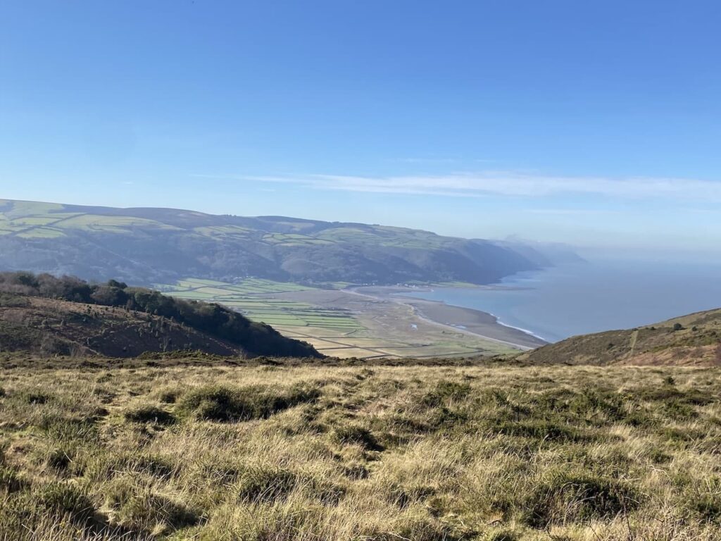
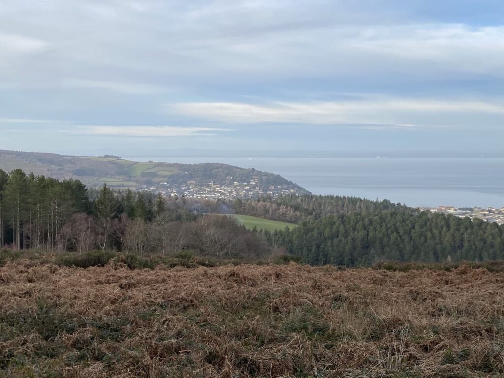
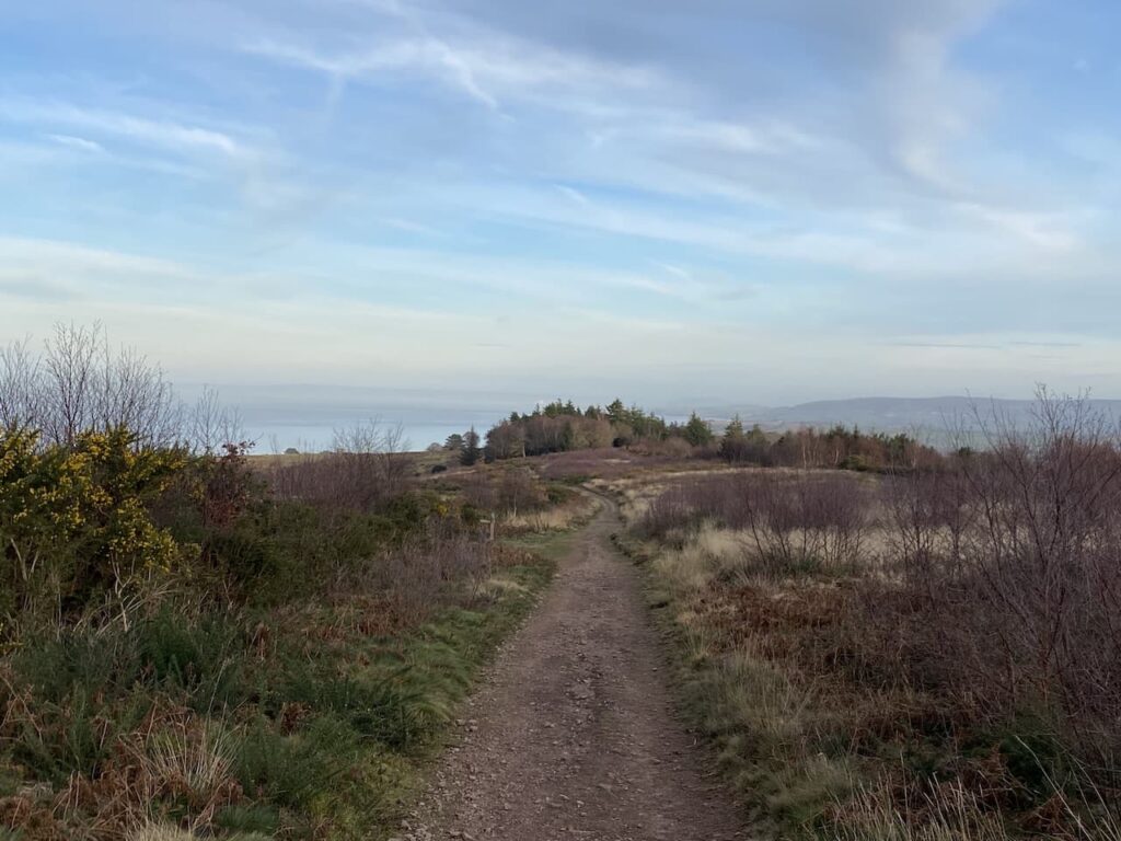
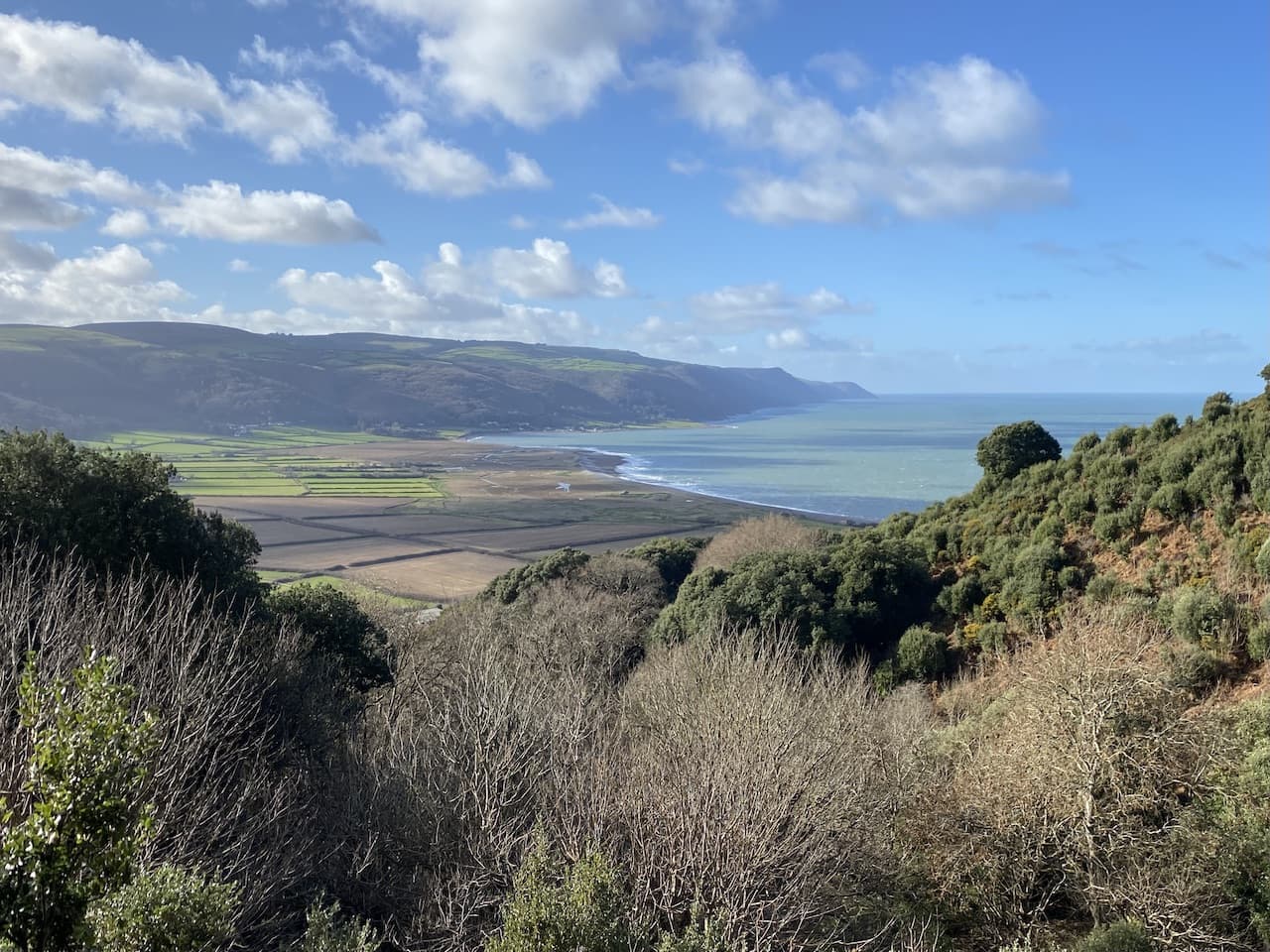
    It is now a steady ascent towards Spangate with some stunning views behind me.

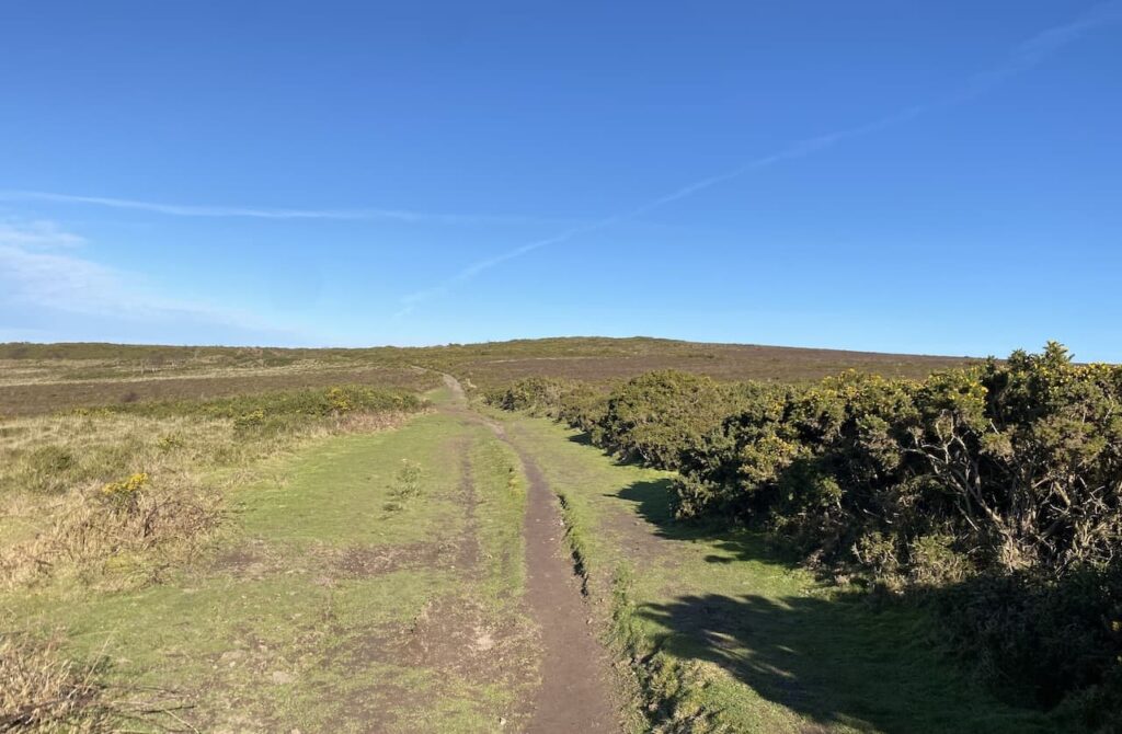
    At a junction of paths at Spangate I leave the Coleridge Way and turn right to head uphill on a broad track which has intermittent boulders along it.

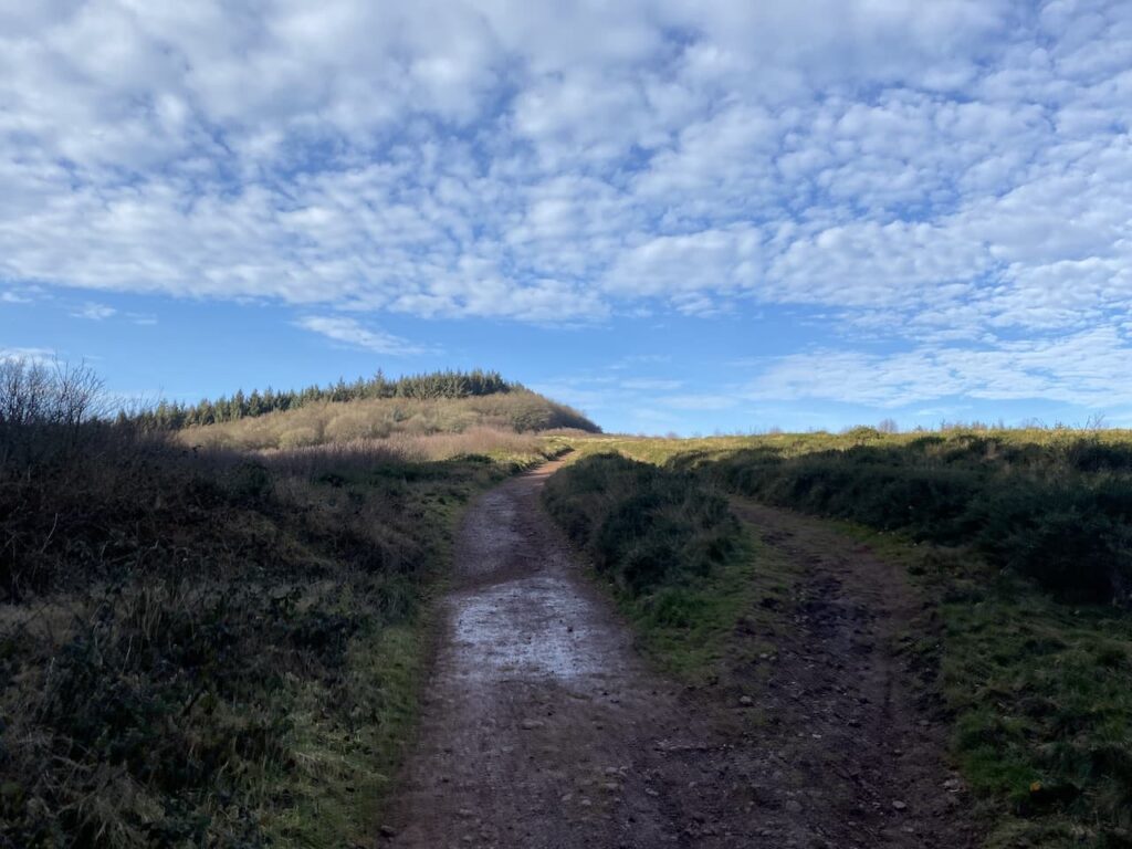
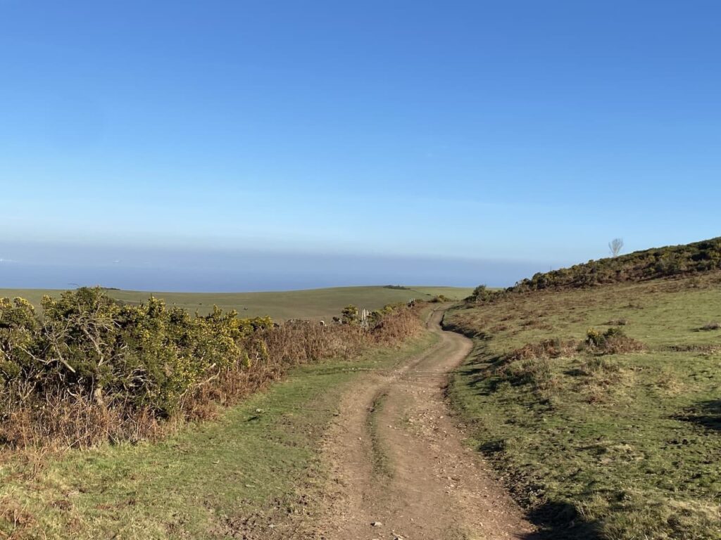
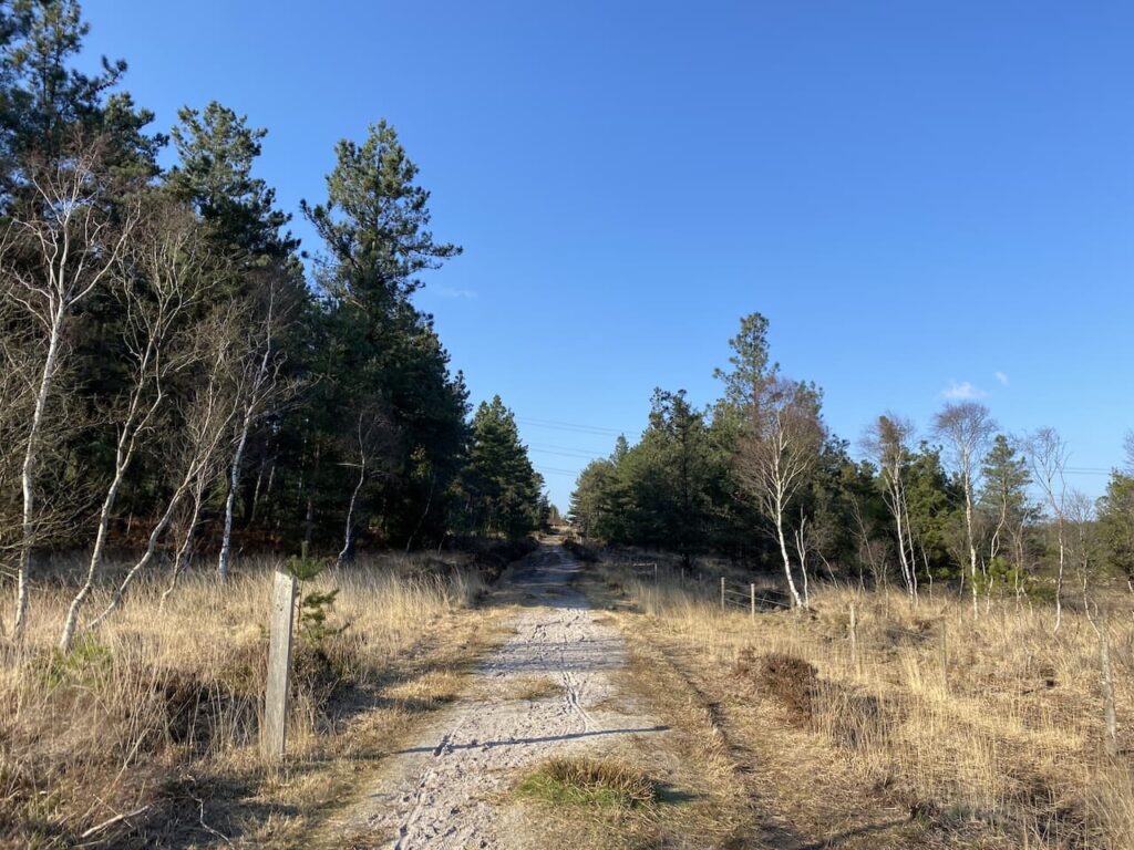
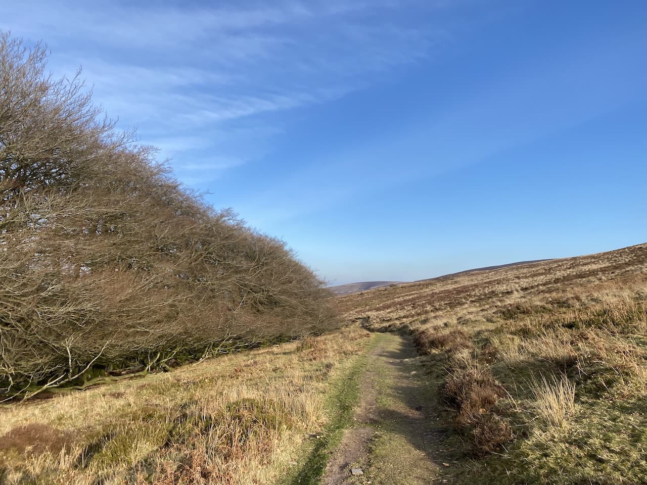
    This is the first time I have approached Dunkery Beacon on this path.  It is a long steady ascent to reach a minor road.  After crossing I join a narrow path which heads west through the heather.  In the distance on the horizon I can see Dunkery Beacon.

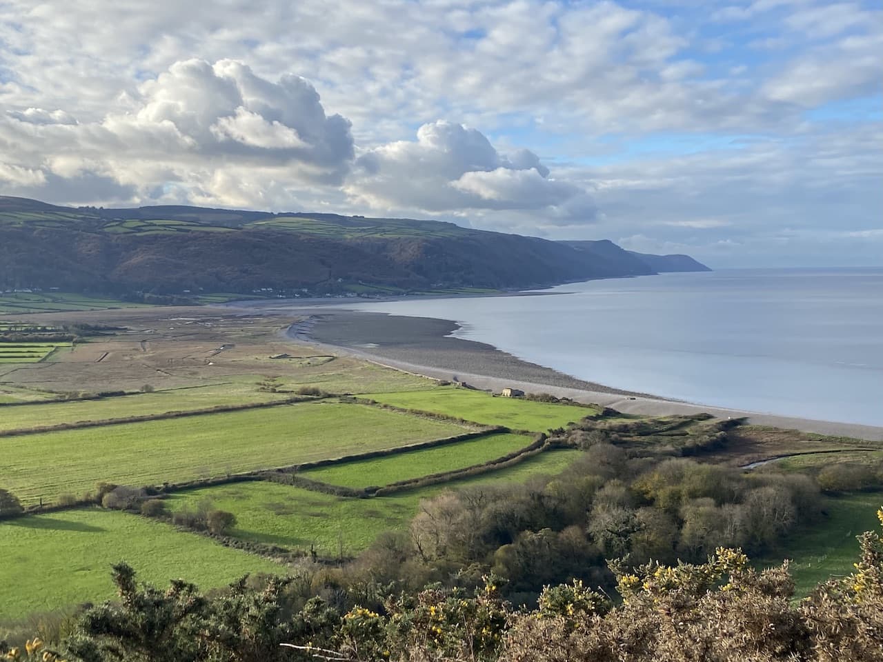
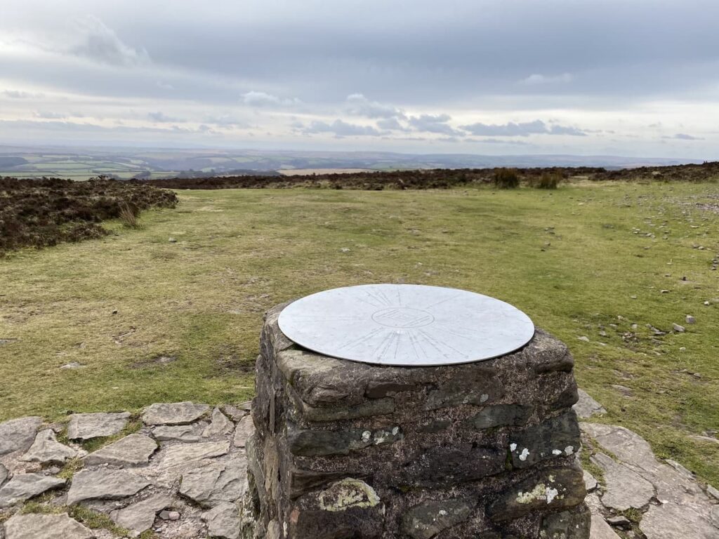
    At a junction with a broader path I turn left and follow this route to reach the hill summit.  This is the highest point on Exmoor and also the highest spot in Somerset.  It stands at 1,705 feet and there is no protection from the elements so the wind is always blowing up here.  Today there is a slight breeze but I have been up here when it is difficult to stay on your feet.

    As I stand admiring the view I am approached by a lady who is interested in to know where I have walked from.  She is bewildered by the distance I have walked so far and how much further I am going to travel.  She has walked up from the road and says that was plenty enough for her.  We then spend ten minutes talking about the spots we can see.  She lives relatively nearby in Tiverton, but has never been up here before.

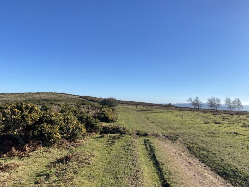
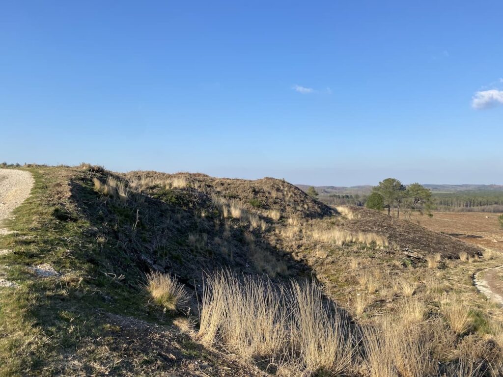
    I have a choice of routes here, but decide to extend my walk by following a clear track heading west towards Little Rowbarrow.

    The track passes by the ancient burial mound of Little Rowbarrow,  On top of the barrow is a cairn which in poor weather would be a welcome site on this section of moor.

    Soon I reach a junction of tracks where I turn right and pass Great Rowbarrow, this burial mound in more prominent and distinctive by the number of stones covering it.

    The track now goes north west and soon starts to descend with Wilmersham Common in the distance.

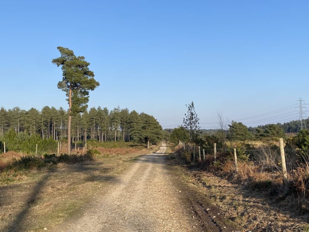
    At the road I turn right and follow this single track lane through Stoke Pero Common.

    On reaching a small parking area I turn right on a track which follows the fence and tree line downhill into Bagley Combe.

    The track leads down to a ford in Bagley Combe and then rises again and heads east towards Sweetworthy Combe.

    At a fork in the track I go left  and continue straight on at a junction of paths following a route which is shown on the map as Dicky’s Path.  This soon heads through the attractive Aller Combe.

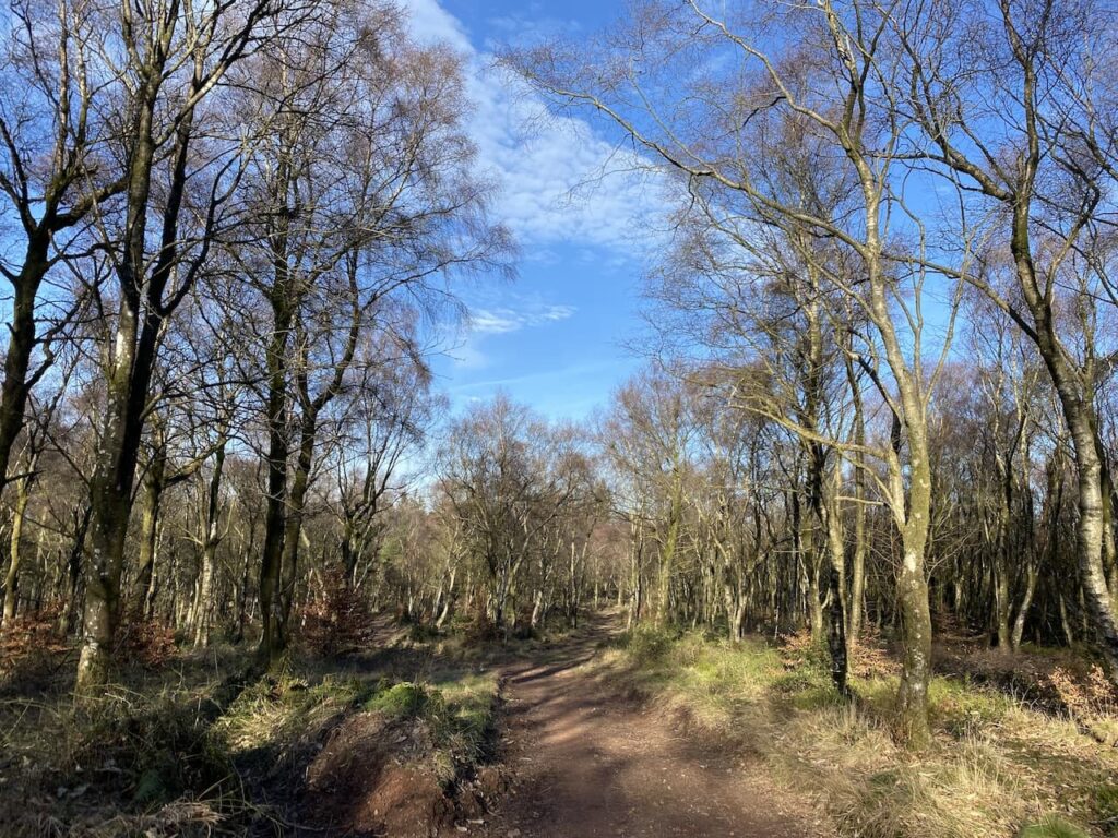
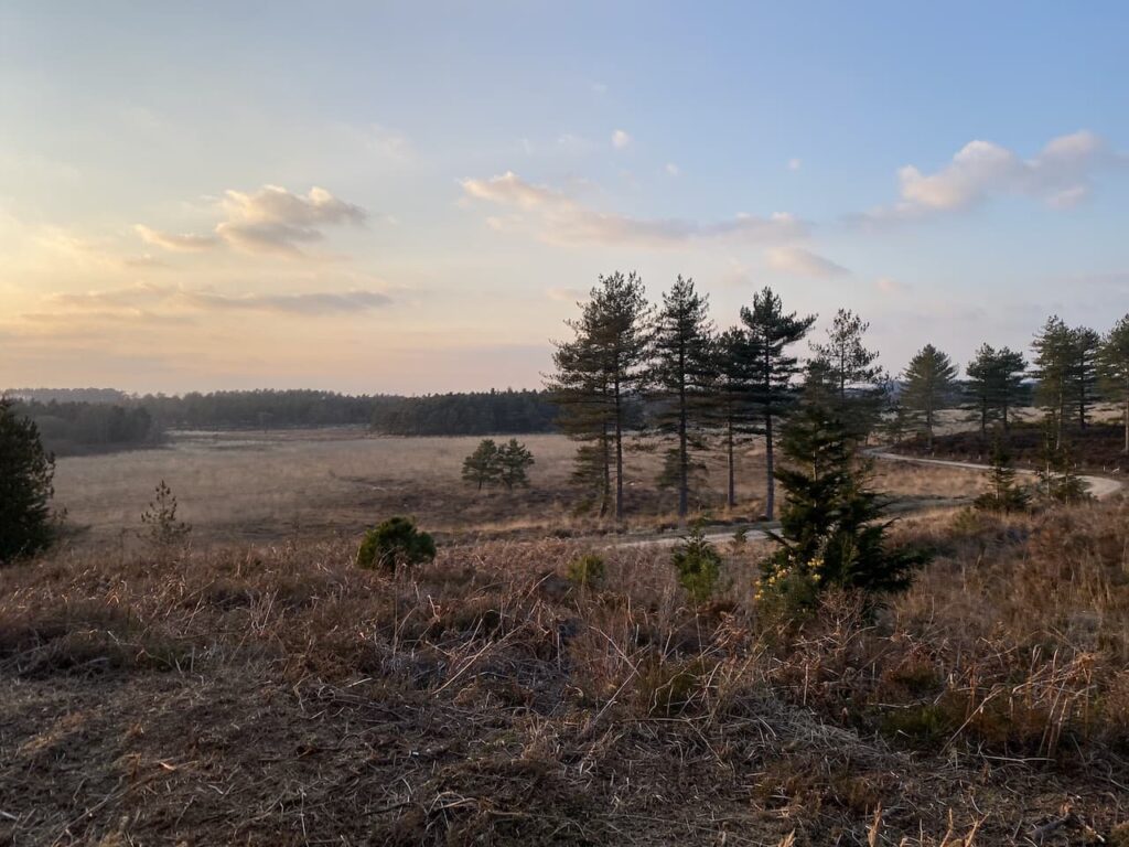
    Now there is an open stretch of moorland before reaching trees to go through Hollow Combe after which the path heads north towards Easter Hill.

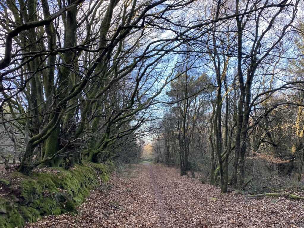
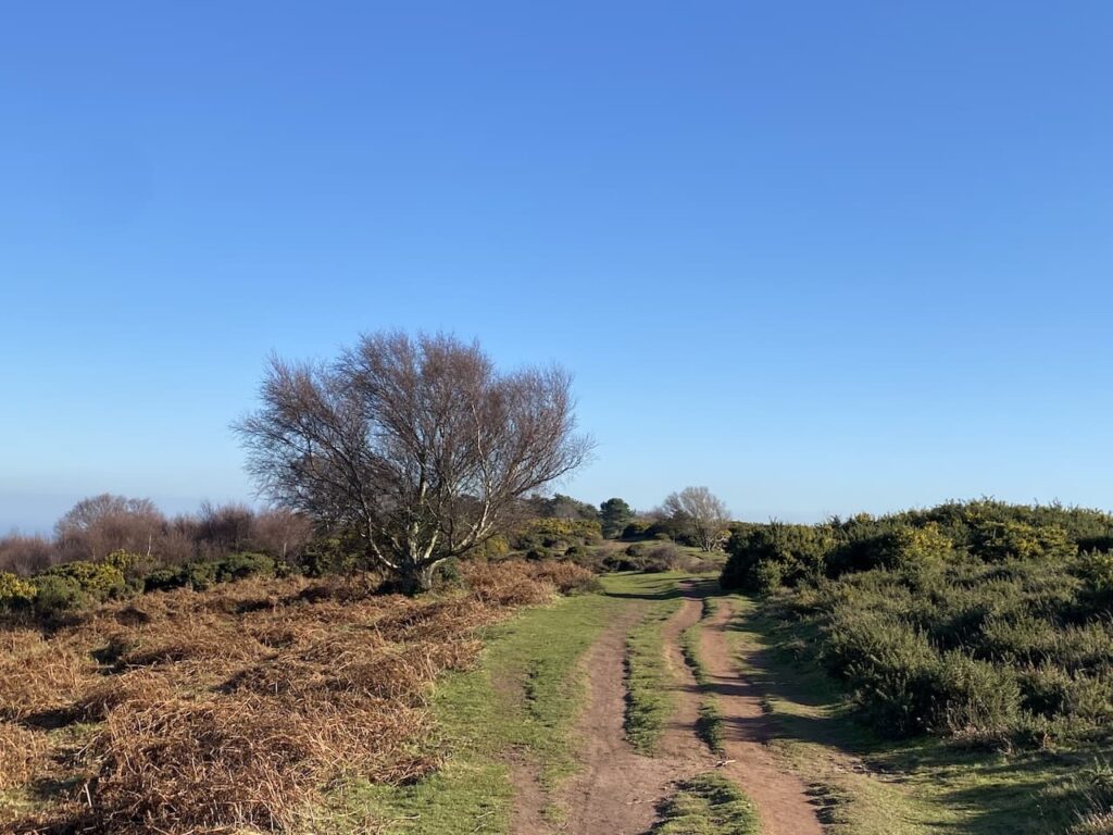
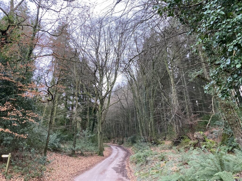
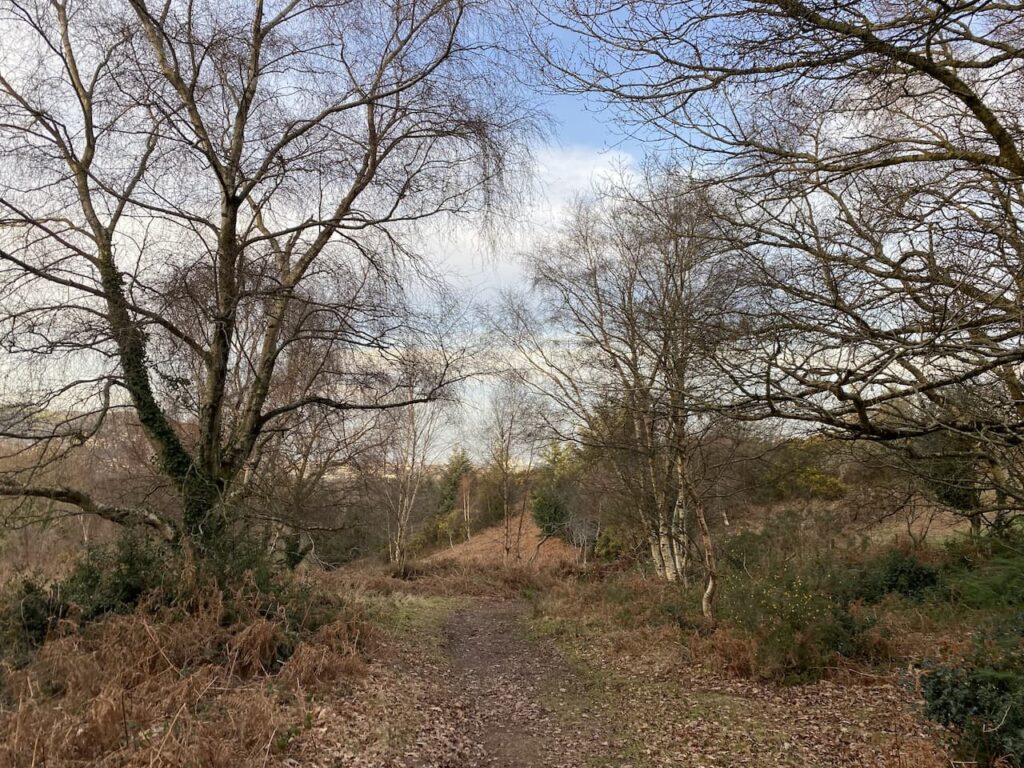
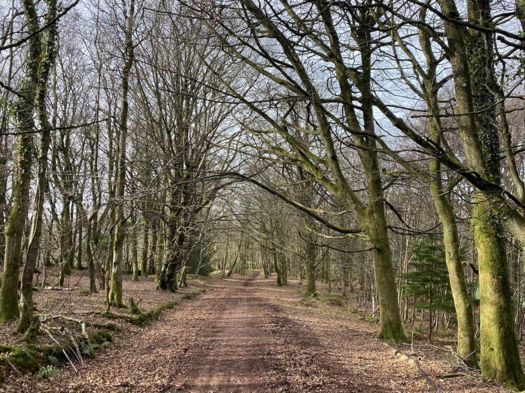
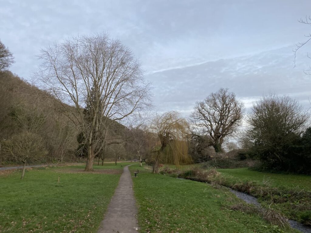
    I ignore routes leading off this path and keep going north until I reach the car park at Webber’s Post.   I now retrace my steps along the Coleridge Way until I reach the Memorial Hut where I take a path on the left descending steeply through Horner Side.

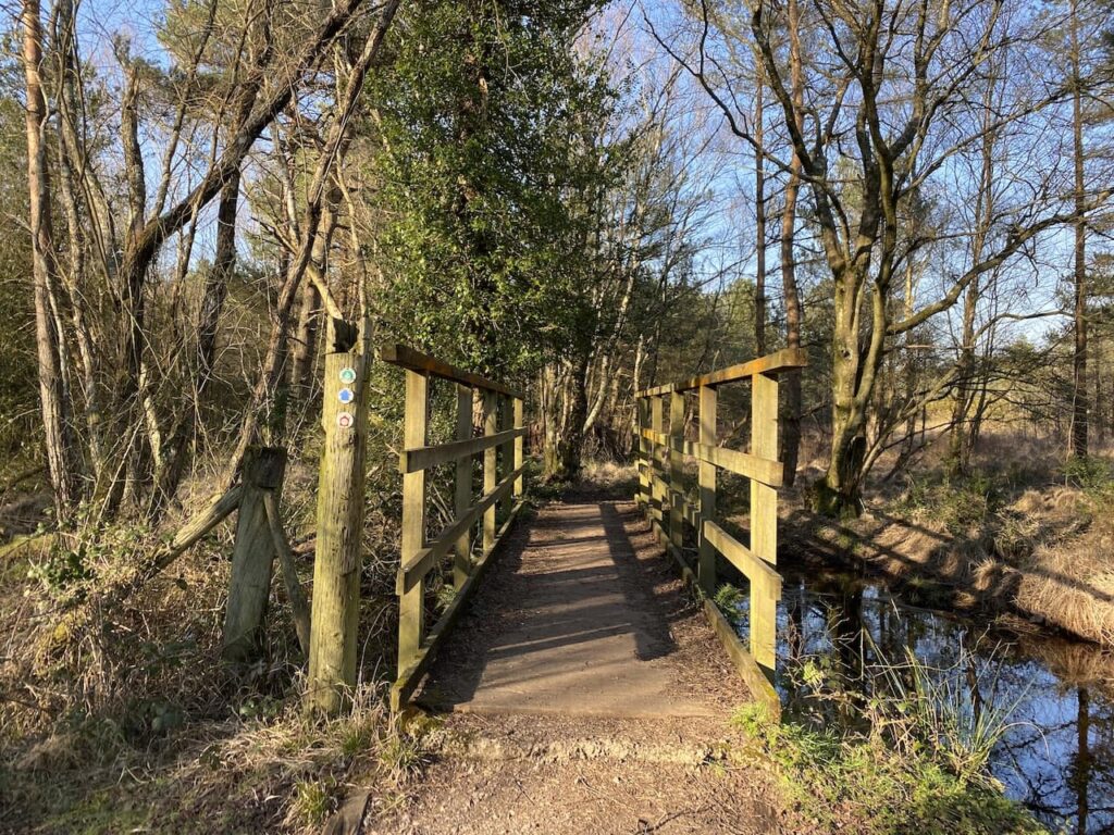
    The route zig-zags its way down the hill, I ignore paths from it to reach a footbridge over Horner Water.

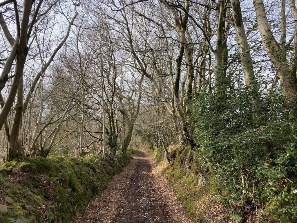
    After crossing the footbridge I turn right and follow a wide track with the attractive Horner Water flowing to my right.

    I stay with this path heading towards Horner. After crossing a stone bridge I turn left along the road and walk through the hamlet to reach the entrance to the car park.

    My walk has covered almost 13 miles.  The sun shone for most of the day and it has felt more like a spring day than early February.  I have been very lucky with the weather this week.  Let’s hope it lasts into tomorrow because that will be my last chance to be out on the moor for a while.

    You can view this 12.6 mile walk on OS Maps and download the GPX File Here

    To follow my walk, you will need Ordnance Survey Explorer Map OL9 – Exmoor

    8th February 2023

    © Two Dogs and an Awning (2023)

    All information on this site is provided free of charge and in good faith and no liability is accepted in respect of damage, loss or injury which might result from it.  To the best of my knowledge the routes are entirely on public rights of way or within areas that are open for public access.
    Walking can be hazardous and is done entirely at your own risk.  It is your responsibility to check your route and navigate using a map and compass.

  • Dunster and Bat’s Castle

    Dunster and Bat’s Castle

    After a cracking day’s walking yesterday I sat down with the map to plan my route for today.  On recent visits to this site I have squeezed in a walk to include a stop at Dunster for a Cornish Pasty.  I don’t usually buy pasties or pies whilst out walking, but the Lunchbox cafe close to the Dunster Exmoor National Park Centre serves great pasties.

    There are numerous ways to walk to Dunster from the site and I have done many but I tried to find a new route.  Eventually I spotted a couple of paths I couldn’t recall walking and I now have the route roughly sorted.  I say roughly sorted because I rarely keep to a set route.  If I see something interesting, or if the mood takes me, I deviate from a plotted circuit.

    Today’s route is not the most direct to Dunster, but adding a couple of miles is no problem especially if it means exploring a new path in Dunster Woods.  So on leaving the site I turn left and walk uphill along the pavement besides the A39, Hopcott Road.  At the Hopcott I turn left to follow the narrow tarmac lane as it heads steadily uphill passing Higher Hopcott and reaching woodland.

    I ignore footpaths leading off from the road until I reach an information board for Dunster Woods.  Now I take the path to the left of the information board and keep straight on to pass another parking area.  The path sweeps to the left and starts to descend into Long Combe.

    I have walked around the top of Long Combe but never followed the path leading steadily down into the combe.  It is a cracking spot to walk.  Early in the descent I ignore two paths to the left.  It is another cracking day and the sun is shining through the trees as I head towards a junction of paths.

    At the junction I turn right to descend steeply towards the stream running through the combe.  The path joins another running through the bottom of the combe and I turn left and then after a couple of hundred yards take a footpath on the right going uphill and passing the entrance to the Youth Hostel.  Very quickly I reach a way-marker showing the route of a bridleway to Alcombe Common.  I take this path into woodland.

    The path leads through the trees and shrub to pass the grounds of the Youth Hostel and then reaches a junction of paths where I follow the way-marked route towards Dunster.

    This clear path was apparently the medieval route between Dunster and Alcombe, it goes in a south easterly direction and crosses a couple of other paths to reach a third crossing of paths.  Here I go left on a path through a gate heading towards Dunster.  I like walking tracks that have been used for centuries, it is amazing to imagine the people that have trodden this path in earlier times and the lives they led.

    The path follows the fence line of a field.  As I look back towards Minehead I can see mist rolling in from the sea.

    After going through another gate the path descends through woodland to join a track which soon passes St Leonard’s Well. This medieval Holy Well is now housed in a 16th century well house.   It is thought to have supplied water to a Benedictine priory that was located a bit further down this lane and was dissolved in 1539.

    I now follow this lane downhill towards Dunster with views of the Quantock Hills in the distance.

    On reaching a junction with a minor road I turn left and then within a few yards turn right at the Butter Cross.  This trading post dates from the late 14th century and once stood in the High Street in Dunster.  It was the centre for a market that traded local produce.  It was originally taller and although the exact date of moving to this site is not known it is thought to have been in the late 1700’s or early 1800’s. 

    I follow the path, passing a community orchard.  These local community initiatives are great ideas, not only growing produce, but also providing a community hub, thereby, tackling the issues related to social isolation.

    At a minor road I continue straight on and follow this lane into Dunster arriving in the centre of the village close to the Yarn Market.  My route is to the right, but I turn left and walk the short distance to pick up a pasty at the Lunchbox Cafe by the Exmoor Visitors Centre.  In recent years this has been a regular stop on our walks through Dunster and Crosby makes it abundantly clear that he fully intends sharing my pasty!

    We now head through the village to pass the octagonal Yarn Market Cross. This was originally built around 1609 by the Lutterall family, who were major landowners in the area, including Dunster Castle.  As the name suggests the Yarn Market was predominantly used for trading cloth and wool. At the time Dunster was a major centre in the wool trade.

    Keeping by the road I continue through the village to pass St George’s Church and reach The Foresters Arms where I turn left into Park Street and follow this lane to reach the Gallox Bridge.  This grade 1 listed medieval packhorse bridge crosses the River Avill, at one time this was the main route into Dunster from the south. Its name derived from its proximity to the village gallows, which stood on nearby Gallox Hill.

    After crossing the bridge I follow a path which heads steadily uphill in a south westerly direction.  At a fork in the path I keep left, the path keeps going uphill now in a more southerly direction to reach a gate which I go through and follow a track up to Gallox Hill.

    After going over the hill the path descends to a junction of tracks, here I go straight on to ascend the hill to the Iron Age Hillfort of Bat’s Castle.  The ramparts of this hill fort are well preserved.

    I am now on the route of the Macmillan Way West and I follow this over the hill towards Withycombe Hill Gate.

    On reaching the tall deer proof gate I turn left to join a track, Park Lane, lined with beech trees.

    As I descend towards Carhampton along Park Lane I am walking into the mist and the temperature drops significantly.

    I stay with the lane as it bends to the right to head into the village of Carhampton where I turn left down the High Street to reach the A39. Here I turn right and cross the road at the traffic lights and then opposite the Butchers Arms I take a track on the left which passes the church.

    Continuing down the lane I turn right at a footpath sign to walk along a field edge path. 

    I stay on the footpath across a stream.  On the far side of the stream I cross fields towards the West Somerset Railway line.

    I ago over a stile and then cross the railway line heeding the sign to “Stop, Look and Listen”.

    On the far side of railway I join the coast path and turn left.  This path soon becomes tarmac as it heads towards Dunster Beach.

    After going through a large car parking area at Dunster Beach I keep on the coast path passing chalets.

    This route is part of the West Somerset Coast Path, a twenty-five mile route from Steart to Minehead.

    After passing the chalets the path continues with Minehead Golf Course to the left and the beach to the right.  Once again the tide is out and there is a huge expanse of sand.

    The path is easy to follow going beside the golf course to reach the car park next to the club house.

    I now join the promenade and walk into Minehead.  The earlier mist has cleared and there are stunning cloud formations.

    From here I wander through the residential streets of Minehead to return to the caravan site.  

    You can view this 12.5 mile walk on OS Maps and download the GPX File Here

    To follow my walk, you will need Ordnance Survey Explorer Map OL9 – Exmoor

    7th February 2023

    © Two Dogs and an Awning (2023)

    All information on this site is provided free of charge and in good faith and no liability is accepted in respect of damage, loss or injury which might result from it.  To the best of my knowledge the routes are entirely on public rights of way or within areas that are open for public access.
    Walking can be hazardous and is done entirely at your own risk.  It is your responsibility to check your route and navigate using a map and compass.

  • Winter Sun on North Hill

    Winter Sun on North Hill

    A regular walk of mine when in Minehead is a circuit visiting Selworthy and North Hill.  The beauty of walking around here is there are so many routes to choose from.  So today’s jaunt is another variation of this cracking walk. 

    On leaving the site I turn left and walk uphill along the pavement besides the A39, Hopcott Road.  At the Hopcott I turn left to follow the narrow tarmac lane as it heads steadily uphill passing Higher Hopcott and reaching woodland.

    I ignore footpaths leading off from the road until I reach an information board for Dunster Woods.  Now I take the path to the right of the information board on the route of the Macmillan Way West heading uphill. 

    I ignore a path on the right soon after leaving the car park and then where the Macmillan Way meets a crossing of tracks I continue straight on, staying on the route of the long distance path.  The path now goes around the head of Long Combe, this is a cracking spot with stunning Beech trees lining the path.

    Leaving the trees the path continues through a section of open land with dead bracken and gorse.  On reaching a junction of tracks I turn right still on the route of the Macmillan Way West heading towards Tivington across the top of Hopcott Common.  At a fork in the track I go left to keep with the Macmillan Way West. 

    I continue to head west to reach another crossing of paths.  Here the Macmillan Way turns left towards Wootton Courtney, however, I keep going straight ahead soon passing the Ordnance Survey trig point tucked to the left of the track on a high bank. At the next crossing of footpaths I continue straight on.

    At the next junction of paths I follow the way-marker towards Headon Cross and soon pass a National Trust plaque and enter Holnicote Estate. Within a short distance the track forks and I go right continuing towards Headon Cross with the path leading through the attractive woodland of Tivington Common.

    The last time I walked through these woods was on a cracking day in December.  I must be extremely lucky because once again the sun is shining and it is one of those days when it great to be outside.

    The path I am on initially descends gradually, but as I near Headon Cross there is a short steep descent to reach a minor road.  Turning right on the road I reach Headon Cross and go straight over to take another minor road opposite.  This climbs steadily, as the road sweeps to the right I continue straight on along a track towards East Lynch.

    Approaching East Lynch farm I take a footpath on the right that runs behind a fine old barn.  I stay on the wide grassy track as it passes farm cottages, ignoring a footpath on the left and continuing uphill.

    I reach a minor road at Dean’s Cross and turn left following the road downhill towards Selworthy.

    In Selworthy I stop on one of the many benches in the churchyard and admire the view whilst I have my lunch. Resuming my walk I turn right beside the Way Memorial.  The path heads uphill through a gate to enter the woodland of Selworthy Combe.

    Soon I reach a junction of paths where I turn left and take a path waymarked to Holnicote Combe and Hurlestone.

    This is the first time I have walked along this path following the counter line around the hill.  I am not sure if it is because of the blue skies and sunshine, but it is a grand path to walk along.

    At a junction of paths in Holnicote Combe I continue straight on to still follow the way-markers towards Hurlestone. This path passes Allerford Combe and a wooden shelter.

    At the next junction of paths I veer to the right on a route heading steadily uphill through Allerford Plantation.

    This long steady ascent is one of those where it is easy to stop and take a breather, but I am conscious I have had a few weeks without any strenuous hill walking so I push on without stopping to reach a gate leading to open access land.  Here I go through and continue uphill on the path towards Selworthy Beacon.

    This broad grassy path leads to a car park and viewpoint.  As I skirt the car park a walker lacing her boots enquires about my route.  We spend the next ten minutes sharing tales of walking routes in the local area.  Chance encounters like this add pleasure to a day’s walking.

    My route now follows a broad path heading away from the car park in a northerly direction.

    I  soon have a cracking view across Bossington Beach towards Porlock.  My list of walks this week includes a route around there, but currently I have more walks planned than days available.

    On reaching a junction of paths I turn right to join the route of the South West Coast Path . This is the inland section of this route, the more rugged path goes closer to the coast line.

    At a junction of paths I veer left to stay with the South west Coast Path, leaving the path towards Selworthy Beacon.

    I now stay with this path going easterly towards Minehead.  It is a few years since I walked this route and on a day like today it is a real pleasure.  The gorse is starting to bloom and there are some cracking views across the Bristol Channel towards South Wales.

    After passing through a gate I continue on the path through an area of pasture.

    Through another gate I stay with the South West Coast Path heading towards Minehead,

    Near a car park the South West Coast Path goes left down Burgundy Chapel Combe.  Here I keep straight on in an easterly direction staying on North Hill heading towards woodland in the distance. On reaching the trees I continue straight on and pass concrete bases that housed Nissen huts during World War II.  Apparently the American Forces had a NAAFI in one of the huts on this hill.

    I continue on this path until it forks, here I go to the left and descend to a gate and then continue on the path going steadily downhill.  There are multiple paths in the trees descending towards the seafront.  

    It is difficult to describe a route due to the multiple options.  However, if you keep heading downhill and turn towards the east at every opportunity you will eventually end up in Minehead.  

    The route I take brings me onto a seafront road, Quay Street and I head towards Minehead harbour.  I have visited Minehead on numerous occasions, but whenever I pass the harbour the tide is out.  Obviously it must come in, but I wonder why it always disappears when I am around.

    From here it is a wander through the streets of Minehead to get back to the caravan site.

    You can view this 13.5 mile walk on OS Maps and download the GPX File Here

    To follow my walk, you will need Ordnance Survey Explorer Map OL9 – Exmoor

    6th February 2023

    © Two Dogs and an Awning (2023)

    All information on this site is provided free of charge and in good faith and no liability is accepted in respect of damage, loss or injury which might result from it.  To the best of my knowledge the routes are entirely on public rights of way or within areas that are open for public access.
    Walking can be hazardous and is done entirely at your own risk.  It is your responsibility to check your route and navigate using a map and compass.

  • Hopcott Common and Alcombe Common

    Hopcott Common and Alcombe Common

    The start of my 2023 walking year has been slightly hampered due to illness.  Last October I went down with Covid and it laid me low for a couple of days. Then a few weeks later I caught a heavy cold which took a while to shake off.  Given I avoided any colds or flu like bugs for a couple of years I had thought a couple of infections would build up my immunity.  

    However, in early January I picked up a flu like virus that knocked me out for the best part of three weeks.  It was not Covid, but affected me far worse than when I did have it.  Any plans of getting away for a few days walking were put on hold.  Fortunately I am back to full health and consequently have booked a short trip to Minehead CAMC to do some walking on Exmoor.

    Minehead is one of my favourite  winter locations for a trip on my own, Lynnie is not so keen on winter caravanning and is happy for Crosby and I to disappear for a few days together.  

    It doesn’t take long to set up on site and then I am lacing the boots up and heading out.  My stock walk when arriving on this site is a loop around the town to the harbour.  But today the light is good enough for me to do a loop up around Hopcott and Alcombe Commons.

    Leaving the site I turn left and walk uphill along the pavement beside the A39, Hopcott Road.  On reaching The Hopcott I turn left to follow the narrow tarmac lane as it heads steadily uphill passing Higher Hopcott and then reaching woodland.

    I ignore footpaths leading off from the road until I reach an information board for Dunster Woods. 

    I take the uphill path to the right of the information board on the route of the Macmillan Way West. I ignore a path on the right soon after leaving the car park and then where the Macmillan Way meets a crossing of tracks I continue straight on, staying on the route of the long distance path.  The path now goes around the head of Long Combe, this is a cracking spot with stunning Beech trees lining the path.

    Leaving the trees the path continues through a section of open land with dead bracken and gorse.  On reaching a junction of tracks I turn left heading towards Dunster.

    I now stay with this track heading east to reach Holes Corner.  Out to my left are views of Minehead and over the Bristol Channel to the South Wales coast.

    At Holes Corner there is a convergence of tracks and paths.  I take the broad track heading east towards trees in the distance.  This route is signposted towards Dunster.

    I ignore a couple of footpaths leading off to the left and stay with the track I am on until I reach trees, here I turn left to reach a crossing of paths where I turn left again to take a path heading towards Alcombe.

    The path steadily descends through an area of gorse and at every junction I follow the way-markers to Alcombe. 

    At a junction of paths close to the Youth Hostel I turn right on the path which is signed to Alcombe.  This descends steadily to reach a tarmac lane where I turn right and follow it into Alcombe.

    At the junction by the Britannia Inn I turn left into Church Street and then on reaching the main A39 turn left and walk on the pavement back to the caravan site.

    This little circuit has covered just over four and a half miles and has been a good stretch of the legs after my earlier journey.  It is now time to plan my walking for the next couple of days.

    You can view this 4.6 mile walk on OS Maps and download the GPX File Here

    To follow my walk you will need Ordnance Survey Explorer Map OL9 – Exmoor

    5th February 2023

    © Two Dogs and an Awning (2023)

    All information on this site is provided free of charge and in good faith and no liability is accepted in respect of damage, loss or injury which might result from it.  To the best of my knowledge the routes are entirely on public rights of way or within areas that are open for public access.
    Walking can be hazardous and is done entirely at your own risk.  It is your responsibility to check your route and navigate using a map and compass.

  • A Loop to Bossington from Minehead

    A Loop to Bossington from Minehead

    No sooner than we arrived home from our Settle trip I am off again.  This time I am heading back to Minehead for a few days walking on Exmoor with Crosby.  Lynnie has declined joining me, I am not sure if it is the prospect of walking on the moor in December or the fact I have started a cold and she thinks it a good idea to keep well away from me.

    I have become a frequent winter visitor to the Caravan and Motorhome Club site in Minehead.  It is perfectly placed for easy access to walking routes and being just on the edge of the town makes it easy to get supplies.  The layout of the site means it never feels busy and with easy access it ticks all the boxes for a solo trip.  By the time I set up yesterday it was well into the afternoon but there was sufficient light for Crosby and I to stretch our legs by wandering down to the harbour.

    Today’s walk is from the site and will be a variation of a walk I have done a few times.  On leaving the site I turn left and walk uphill along the pavement besides the A39, Hopcott Road.  On reaching the Hopcott I turn left to follow the narrow tarmac lane as it heads steadily uphill passing Higher Hopcott and reaching woodland.

    I ignore footpaths leading off from the road until I reach an information board for Dunster Woods.  

    Now I take the path to the right of the information board on the route of the Macmillan Way West heading uphill. I ignore a path on the right soon after leaving the car park and then where the Macmillan Way meets a crossing of tracks I continue straight on, staying on the route of the long distance path.  The path now goes around the head of Long Combe, this is a cracking spot with stunning Beech trees lining the path.

    Leaving the trees the path continues through a section of open land with dead bracken and gorse.  

    On reaching a junction of tracks I turn right still on the route of the Macmillan Way West heading towards Tivington across the top of Hopcott Common.  At a fork in the track I go left to keep with the Macmillan Way West.  There are good views from here back along the coastline towards Blue Anchor.

    I continue to head west to reach another crossing of paths.  Here the Macmillan Way turns left towards Wootton Courtney, however, I keep going straight ahead soon reaching an Ordnance Survey trig point tucked to the left of the track on a high bank. This trig on Periton Hill is one I have bagged a number of times.

    At the next crossing of footpaths I continue straight on.

    At the next junction of paths I follow the way-marker towards Headon Cross and soon pass a National Trust plaque and enter Holnicote Estate. Within a short distance the track forks and I go right continuing towards Headon Cross with the path leading through the attractive woodland of Tivington Common.

    The sun is out and there is a clear sky.  Ideal conditions for a walk in December.  The path I am on initially descends gradually, but as I near Headon Cross there is a short steep descent to reach a minor road.  Turning right on the road I reach Headon Cross and go straight over to take another minor road opposite.  This climbs steadily, as the road sweeps to the right I continue straight on along a track towards East Lynch.

    Approaching East Lynch farm I take a footpath on the right that runs behind a fine old barn.  I stay on the wide grassy track as it passes farm cottages, ignoring a footpath on the left and continuing uphill.

    I reach a minor road at Deans Cross and turn left following the road downhill into Selworthy where I stop on one of the many benches in the churchyard and admire the view whilst I have my lunch.

    Resuming my walk I continue through the village and pass the Tithe Barn which has a plaque commemorating the wanderings of Walter Wilkinson with his peep show.  Many years ago Lynnie gave me a copy of Walter’s “Peep Show” book.  It is a great insight into a way of life long passed.

    I continue through the village and then fork right on a footpath that leads through Selworthy Farm with its range of old barns and then continue along a track.  When I was here in February the hedge besides this path had recently been laid and looked a bit of an eyesore. Now ten months later nature has taken its course and the casual observer would not even know of the work to the hedgerow.

    As I go downhill I pause to take in the view.  There was a time when I constantly glanced at my watch to ensure I was maintaining a decent pace.  These days I like to pause and look occasionally. I still walk pretty fast but I have learnt to stop from time to time and take it all in.

    The track leads to the outskirts of Higher Allerford where I go straight on along a narrow lane leading to Allerford via a packhorse bridge besides a ford.  The bridge is thought to be medieval, though work to enlarge the bridge was undertaken in 1886.

    After crossing the bridge I turn right to walk through this attractive village passing the old Post Office with its King George VI postbox.

    Soon I reach a footpath along a track which passes Stoates Farm and goes through a gate to reach a footbridge over the river.  On the far side of the bridge I turn left and take a footpath towards West Lynch this initially follows the river.

    The path soon starts to ascend into the woods.

    At a crossing of paths I take the route signposted towards Hurlstone Point, the path continues to steadily ascend through trees. The path leads to a wooden gate and a crossing of paths at Lynch Combe.  There is an information board explaining the work that has been done by National Trust volunteers to restore the stone walls in the Selworthy and Cockerhill section of the Holnicote Estate. The walls are at least 200 years old and there are some fine examples in this Combe. 

    On previous visits I have turned right here and walked up the hill, but today I go straight over to follow the path towards Hurlstone Point.  This path leads through stunning section of trees.

    The path follows the contour line around Bossington Hill and opens out to provide cracking views over Bossington and Porlock Beaches.

    The path now opens out as it heads toward Hurlstone Point.

    At a fingerpost I turn right on a path to Minehead.

    This path goes uphill, when I say uphill I mean seriously uphill.  Bossington Hill is a stiff ascent. 

    The first time I walked up here I thought I would do it in one go and today I try to repeat the challenge.  But my cold is taking a toll on my lungs and I decide it is sensible to take a breather and admire the view back towards the coast.

    I am now on the route of the South West Coastal Path and I follow this uphill.  There are a number of options but I choose a broad path heading towards Selwothy Beacon. Close to the path are cattle and I meet a lady walking her dog who is anxious going through the cows.  I offer to walk with her and we spend the next fifteen minutes chatting.  I really enjoy such encounters I always learn something about others’ lives; this person, like me, feels the need to get out every day for a walk to get away from the pressures of modern life.

    We walk together to Selworthy Beacon where we wish each other well and part company.  

    From the Beacon I follow a track heading east across North Hill.  There are a number of paths up here but I know as long as I head east and keep the minor road somewhere to my right I will be fine.

    The track leads towards a parking area and soon after passing through it I take a path on the left.  This heads north and rejoins the South West Coast path where I turn right and soon go through a gate into an area of pasture.

    The path continues close to the road to reach another gate, now I keep going east to reach another parking area and then keep going to pass some Exmoor ponies.

    On reaching another car park close to woodland I have a choice of routes to take to get to Minehead.  I go to the left and then take a path that goes east through the trees and passes concrete bases that housed Nissen huts during World War II.  Apparently the American Forces had a NAAFI in one of the huts on this hill.

    I continue on this path until I reach a fork in the path, here I go to the left and descend towards a gate and then continue on the path going steadily downhill. 

    There are multiple paths in the trees that descend towards the seafront.  I stay with one that goes straight on to reach a tarmac lane where I turn left, soon joining the Zig Zag path going steadily downward.

    At the bottom of the path I turn left and pass cottages to reach the seafront by the sculpture marking the start, or end, of the south west coast path.

    It is a cracking evening and I stop on the seawall to watch the moonrise.

    From here it is a wander through the streets of Minehead to get back to the caravan site for a well-deserved cup of tea and a sit down to plan were I will walk tomorrow.

    You can view this 14.5 mile walk on OS Maps and download the GPX File Here

    To follow my walk, you will need Ordnance Survey Explorer Map OL9 – Exmoor

    12th December 2022

    © Two Dogs and an Awning (2022)

    All information on this site is provided free of charge and in good faith and no liability is accepted in respect of damage, loss or injury which might result from it.  To the best of my knowledge the routes are entirely on public rights of way or within areas that are open for public access.
    Walking can be hazardous and is done entirely at your own risk.  It is your responsibility to check your route and navigate using a map and compass.

  • Minchinhampton Common and Rodborough Common

    Minchinhampton Common and Rodborough Common

    Since becoming caravanners we have sought to do most of our walking from, or near, the site we are staying on.  In part because we like to get to know the local area well and also because I dislike driving.  When younger I enjoyed a long car trip, in those days I never tired of being behind the wheel.  Nowadays I go to all possible lengths to avoid driving and view it as a necessity in order to get to and from our adventures.  

    Added to my dislike of driving is the recent dramatic increase in fuel prices.  I can hardly believe that before we set off I felt fortunate to be able to fill up with diesel at £1.95 per litre.  I am old enough to remember people saying petrol would never be more than £1 per gallon!

    It is therefore no surprise that today’s walk is from our pitch at Burnt Ash Farm CL and we are heading towards the wide expanse of Minchinhampton and Rodborough Commons.  We leave the site by the footpath which runs besides the ménage and then heads across paddocks to join another footpath close to the road.  Here we stay in the field and turn right to walk along the edge of the field with the wall on the left.  After crossing a stone stile we continue into another field and keep walking with the wall to our left.  

    After crossing another stone stile the footpath forks.  We take the left fork to walk through a meadow and then cross the wall via a stone stile and enter an arable field.

    This leads us to another stile where we enter a field divided into horse paddocks and on the far side is a caravan park.  The path is clearly fenced and well-marked.

    We cross a stone stile over a wall under the close attention of one of the horses and then continue to the entrance to Tobacconist Farm campsite, turning left to pass well-maintained allotments.

    At a junction we turn right into Tetbury Street and head into the town centre.  Nearing the High Street there are a number of interesting old properties.

    At a crossroads we continue straight on and pass the butcher’s and then at a junction we go left into Cuckoo Row and follow this until we reach a junction with Box Lane where we turn left.

    We stay with the lane until we reach Box where we pass St Barnabas church.  It was originally built in 1880 as the village school and at the time was constructed of corrugated iron.  From 1918 it was used by the church as a Sunday school and for the occasional service.  At the time it also doubled as a village hall.  It was not until 1952, after restoration, that the building was dedicated as a church.  

    We continue through Box, keeping right at a fork in the road, passing the village hall and keeping with the road as it sweeps to the right and goes uphill.  At a junction close to the Halfway Cafe we cross the road onto Minchinhampton Common.  The cafe is a former pub which, despite a campaign by locals was closed in 2013 and allowed to re-open as a cafe.

    We head in a north westerly direction across the common towards the clubhouse of Minchinhampton Golf Club.  This is open access land but we follow a footpath besides holes on the golf course.  

    Minchinhampton Golf Club has three courses, two of which are near the village of Avening, but this is the original course, known as the “Old Course”.  This course was established in 1889 and is clearly not the most popular of the club’s courses. It is a Saturday afternoon and we can’t spot a golfer on it.

    After passing the Old Course clubhouse we keep with the footpath going north across the common crossing a minor road and then keeping in the same direction to reach the Amberley War Memorial.

    From the War Memorial we take a road heading north west that goes downhill towards Littleworth.

    At a fork in the road we go downhill to the right to a junction where we cross the road and take a footpath opposite which goes steeply downhill to reach a junction of paths where we turn right and follow a footpath through trees. This is an attractive bit of woodland and we stay with the path towards the southern edge.

    We reach a minor road and turn right and then after going through a gate beside a cattle grid take a path on the left that goes steadily uphill onto Rodborough Common.

    There are cracking views from here, we follow a path around the common close to a wall.  This protects the gardens of Rodborough’s houses from the cattle that roam on the common.

    We stay reasonably close to the wall  to come to a road, which we follow briefly heading south east crossing a common on a clear cut path towards a crossroads where we take a minor road downhill towards Winstones Ice Cream Parlour.  Unfortunately for Lynnie it is closed but I assure her we will be visiting here again in the next few days.

    We now follow a road which tracks a wall to the east of the walled estate of Bownham.  There are some cracking views over the Golden Valley from this lane.  I am looking forward to walking in the valley, it is part of my planned routes for our stay in the area.

    We reach a track that forks to the right from the lane and follow this steadily uphill and after passing cottages keep going onto Minchinhampton Common.  There are a number of well-worn paths cut through the long grass on this section of the common.  We turn to the left and follow a path heading south easterly above the houses of Burleigh.

    After crossing the road we continue on and meet cattle enjoying the afternoon sunshine besides a fenced green on the golf course.

    We cross a road on the common and continue along the Bulwarks, this is an Iron Age earthworks sweeping around part of the common. After crossing another road we continue walking over the common and then turn to the right so that we can pay a visit to Holy Trinity church with its unusual tower.

    Apparently the original spire of Holy Trinity church was pulled down in 1563 because the arches in the nave were failing under the weight.  The stub of the pair was retained and surmounted with a coronet structure.

    We leave the church by the main entrance and arrive in Minchinhampton in the Market Square with its raised Market House with cattle barriers in the lower part.

    From the Market Square we follow Butt Street and then turn right at a cattle grid and pass through a gate to follow a road through housing.  After going besides another cattle grid we join a lane and turn right.  At the end of the lane we reach a small common.

    Where the common becomes a track we take a footpath on the right and cross a gate stile to enter a meadow and walk towards trees.

    We then cross a stone stile into another field and follow the path along the wall to reach a second stone stile and take the footpath as it head towards the road and then as we near the road we turn left to follow the path diagonally across the field to return to Burnt Ash Farm.

    Our walk has covered nine-miles and it has been interesting to explore a part of the Cotswolds we have not previously visited.  We are now looking forward to exploring more of the local area and Lynnie has a visit to the Winstones Ice Cream Parlour high on her list of activities.

    You can view this 9 mile walk on OS Maps and download the GPX File Here

    To follow our walk you will need Ordnance Survey Outdoor Explorer – 168 Stroud, Tetbury & Malmesbury

    2nd July 2022

    © Two Dogs and an Awning (2022)

    All information on this site is provided free of charge and in good faith and no liability is accepted in respect of damage, loss or injury which might result from it.  To the best of my knowledge the routes are entirely on public rights of way or within areas that are open for public access.
    Walking can be hazardous and is done entirely at your own risk.  It is your responsibility to check your route and navigate using a map and compass.

  • Arriving at Burnt Ash Farm CL

    Arriving at Burnt Ash Farm CL

    After a couple of weeks at home we are away again, this time for a short stay in the Cotswolds.  The spell at home has given us the opportunity to make progress on the work we are having done to our house, but it is always good to hitch up the van and head off again.  

    We chose the Cotswolds for this trip because we like to find new areas to explore on our travels and the south west corner of the Cotswolds is not a place we have walked before, we did visit Tetbury on our honeymoon thirty-nine years ago, but in those days walking did not feature in our plans.

    Our pitch for this stay is on Burnt Ash Farm CL, located on the outskirts of Minchinhampton.  It is very easy to access with no narrow lanes and soon after our arrival we are warmly greeted by Adrian the owner.  As soon as we are pitched and the awning is up I am lacing up my walking shoes and heading out for a short stroll from the site.

    Our previous caravan trip to Scotland and the Peak District was cut short by my picking up an ankle injury.  I have had some treatment on it and can now walk shortish distances with slight pain, this is an improvement on the severe pain that was stopping me walking anything further than a mile.  I have been advised to wear trainers for a month to assist in the recovery.  I own numerous pairs of walking boots, but did not have a pair of trainers so had to endure an hour trying to identify some that would be comfortable enough to walk in.

    Needless to say two weeks after purchasing them the trainers look about six months old.  I think they were designed for leisure wear, not trudging around the countryside.  However if it means my leg gets better quicker I am willing to sacrifice a bit of credibility in the walking fraternity.

    I leave the caravan site by the footpath which runs beside the ménage and then heads across paddocks to join another footpath close to the road.  Here I stay in the field and turn right to walk along the edge of the field with the wall on the left.  

    After crossing a stone stile I continue into another field and keep walking with the wall on my left hand side.  

    After crossing another stone stile the footpath forks.  I take the right fork to head through a meadow towards a gate.

    After crossing a stile over the gate I join a track and turn left.  The track soon opens out onto a small common.

    I am soon across the common and carry on into Minchinhampton along a quiet residential street. This road leads to the Cirencester Road where I turn left and then quickly reach a crossroads where I turn left and head into Minchinhampton town centre.

    Like many Cotswold towns Minchinhampton was built up around the wool market and it has a fine Market House with cattle barriers in the lower part.

    I continue down the High Street and then turn right and pass the butchers and fish and chip shop and continue along the road heading west out of the town.

    At a fork in the road I keep right and then take the next right into Dr Brown’s Road and follow this heading steadily uphill to reach Minchinhampton Common where I turn right to walk across the common.

    This is only a small part of the common which covers 580 acres of open access land which is grazed by cattle and has a couple of golf courses crossing it.  It is a pleasant evening so on spotting the church spire in the distance I decide to head across the common to have a closer look at the unusual structure.

    Apparently the original spire of Holy Trinity church was pulled down in 1563 because the arches in the nave were failing under its weight.  The stub of the pair was retained and surmounted with a coronet structure.

    I stay on the common and turn to the left to walk back in a north easterly direction to reach the crossroads on the Cirencester Road.

    From here I retrace my route back to the caravan through the town and along the road to reach the small common and then cross the stiles.

    The stone stiles across the walls between fields are an interesting feature for Crosby.  He hopped over them at the start of our walk, but has now decided he would prefer to be lifted over.

    Back at the caravan my walk has covered just over three miles.  So far so good, my ankle feels okay.  It has been a pleasant walk to acquaint myself with part of the local area.  

    I think tomorrow will see us venturing a bit further.

    You can view this 3.5 mile walk on OS Maps and download the GPX File Here

    To follow our walk you will need Ordnance Survey Outdoor Explorer – 168 Stroud, Tetbury & Malmesbury

    1st July 2022

    © Two Dogs and an Awning (2022)

    All information on this site is provided free of charge and in good faith and no liability is accepted in respect of damage, loss or injury which might result from it.  To the best of my knowledge the routes are entirely on public rights of way or within areas that are open for public access.
    Walking can be hazardous and is done entirely at your own risk.  It is your responsibility to check your route and navigate using a map and compass.

  • Two Trigs in Wareham Forest

    Two Trigs in Wareham Forest

    Following my solo trip in the new caravan a couple of weeks ago we are now both getting away for a few days to fully test out everything before we start our planned trips over the next six months. I have been busily organising our schedule which will see us visiting the Brecon Beacons, Northumberland, the Scottish Borders, Peak District and the Yorkshire Dales.

    Our current trip is five nights at the Caravan and Motorhome Club main site at Hunter’s Moon in Wareham Forest.  We know this part of Dorset well because Lynnie grew up in the area and still has relatives living locally.  So it will be a good chance to do some walking and catch up with friends and family.

    Wareham Forest is only just over forty miles from home, so a relatively short journey to reach Hunter’s Moon and it does not take long to get pitched up and sorted out.  Luckily there is still plenty of daylight for a decent walk.  We decide to head out from the site and exit through the main entrance and turn left along the road.  It is possible to walk along the verge, but we need to keep an eye out for fast moving traffic.  After passing the entrance to Birchwood Touring Park site we continue on a short distance and then turn right on a way-marked path for Woolsbarrow Hillfort.  There is also a marker for the St Edward’s Way on the finger post.

    We now follow the fenced footpath heading north towards the caravans in Birchwood Park.

    After passing the caravan site the path goes through a boggy area, fortunately it is easy enough to negotiate a route through without too much difficulty and then we cross a footbridge over a stream.

    The ground becomes a bit firmer underfoot as we head towards a junction of paths besides two boundary stones at Old Ram, one of which is dated 1817.  In the past this was the crossing of major routes through Wareham Forest.

    At this junction of paths we continue to head north on the Wareham Forest Way towards Woolsbarrow Fort.

    The path heads steadily uphill to reach a crossing of paths with the Hardy Way, we continue straight on and after a couple of hundred metres fork left and continue through the ramparts of the hillfort.  Woolsbarrow is a late Bronze Age to Early Iron Age fort and although only 67 metres above sea level provides stunning views over the surrounding heathland.

    On the ramparts there is an Ordnance Survey Trig Pillar, we have been here in the past but before I was bagging trigs so we wander over to add this one to my list. It is the 294th I’ve bagged.

    From the hillfort we retrace our steps back down to the junction with The Hardy Way and head east across Morden Heath.

    On 18 May 2020 a major fire broke out in Wareham Forest which burnt until the 29th May devastating 220 hectares of land.  150 firefighters fought the blaze and it is estimated that around 4 million litres of water were used to quell it.  However, this was not the only major fire to affect the woodland.  In 1947 a huge blaze went on for four days closing the road between Wareham and Bere Regis and causing ammunition left behind from World War II troop manoeuvres to explode.

    At a junction of paths we leave The Hardy Way and keep heading east on a footpath leading towards Sherford Bridge.  This path skirts the edge of woodland and then goes through a field to reach the B3075 at Sherford Bridge.  We cross the road and join a track leading into woodland on Gore Heath.

    There are a network of paths and tracks in these woods so plenty of options to choose.  Our route continues along the track for a couple of hundred metres and then we turn right to head south towards the summit of Gore Hill.  After crossing another track we continue south and then just before reaching another junction of tracks we follow a well-worn path that heads to the summit of Gore Hill and an Ordnance Survey trig pillar.  This one has been painted a bright green colour, which is a bit off putting to a trig purest but it still counts and goes down as my 295th bagged!

    From the trig we head down to a junction of tracks and continue to wend our way south.  At the next two crossings of tracks we carry straight on and then at the next junction we turn right and soon after take a left leading uphill to a five way junction of tracks where we turn right and follow this track to a gateway on the edge of woodland which overlooks open heathland.

    After going through the gate we head downhill on a path through gorse and heather towards a track.

    On reaching the track we turn right on the route of the Poole Harbour Trail which is a network of circular and linear paths around Poole Harbour.  The track leads us through a gate besides the B3075 which we cross and continue on a track on the opposite side to reach a gate which we go through and then continue with good views across Decoy Heath.

    The light is beginning to fade, but I am confident we will get back to the caravan before it gets dark, the track leads steadily downhill to reach a bridge over a stream at Morden Bog.

    We then turn right, briefly joining the Hardy Way, after a couple of hundred metres we take a track on the left and then a few hundred metres further on take another track on the left which is a short steep ascent to the top of a hill.   At a junction of tracks we go right to follow the path towards a parking area.

    After passing the parking area and crossing the road we take the path opposite.  After a couple of hundred metres we turn right on a junction of paths and soon reach a crossing of paths where we go straight on along a fenced path with a solar farm to our right.  

    After crossing a raised walk way we soon reach a junction of paths where we turn right and head north back towards the caravan site on the route of the Wareham Forest Way and St Edward’s Way.  The St Edward’s Way is a thirty-mile route from Wareham to Shaftesbury Abbey.  The route is said to follow the journey that St Edward the Martyr’s remains were taken on after his murder at Corfe Castle in 972 to be buried at Shaftesbury Abbey.

    Sections of this path are a bit muddy and it is just getting dark and we are relieved to reach a gate to re-enter the caravan site.  Unfortunately it is locked and we do not know the code to open it. (I later discover this is shown on the other side of the gate on the assumption that anyone leaving the park will want to come back through the gate, but it is not shown on any other information about the site!)  Instead we have to continue along the path, as it nears the road the route appears to head towards a quarry works service road, however, the secure gates leading to the site are now closed for the evening!

    Clearly we now have a problem, but experience has taught me in such situations that it is best to take another good look at the map ensuring we have taken the right path and not just followed a path made by others.  Fortunately I spot that the footpath actually veered to the right just before reaching the service road so we take this much boggier route to reach the Wareham to Bere Regis road where we turn right and walk the short distance on the verge back to the entrance of Hunter’s Moon Caravan Park.

    Our quick jaunt has covered just over 8.5 miles and has been a good stretch of the legs with the added bonus of two more trigs bagged.  

    You can view this 8.5 mile walk on OS Maps and download the GPX File Here

    To follow my walk, you will need Ordnance Survey Maps: OS Explorer Map OL 15  Purbeck & South Dorset

    7th March 2022

    © Two Dogs and an Awning (2022)

    All information on this site is provided free of charge and in good faith and no liability is accepted in respect of damage, loss or injury which might result from it.  To the best of my knowledge the routes are entirely on public rights of way or within areas that are open for public access.
    Walking can be hazardous and is done entirely at your own risk.  It is your responsibility to check your route and navigate using a map and compass.

  • Jamming About to Dunkery Beacon

    Jamming About to Dunkery Beacon

    Whilst staying in Minehead in October last year Crosby and I walked from the site to Dunkery Beacon.  I was hoping for a clear day to appreciate the views from the Beacon but as I was walking the weather closed in and I struggled to see as far as the North Somerset coast.  I am heading towards Dunkery today but don’t plan to go to the summit.

    The start of my walk follows the route I took yesterday, leaving the site I turn left and walk uphill along the pavement besides the A39, Hopcott Road.  I keep with the road until I reach Periton Cross.  Here I turn left and take a bridleway on a track into Periton Combe.

    Soon I reach a metal barrier preventing vehicle access to the Combe, it has an information board about Dunster Woods attached to it.

    The path follows the track and then starts heading uphill.  There are forestry tracks in the woods but I keep with the way-markers for the bridleway as I ascend through the trees.

    It is a long steady haul up Periton Hill to reach Wootton Common, I was a bit chilly at the start of my walk but I soon warm up and start shedding layers.  

    At a fork in the track, as is reaches the edge of open land on Wootton Common, I fork to the left, still going uphill to reach a junction with a track running along the top of the hill where I turn right.

    At a fingerpost for Wootton Courtenay I turn left onto a track initially passing through Pine woods which are dark and featureless but at a junction of paths I turn right into a cracking area of Beech woodland.

    The path I am now on is marked on the map as Roadway Lane, this soon becomes a stunning sunken track descending steeply into Wootton Courtenay.  Such tracks will have been used for centuries and it would have been a challenging journey dragging a cart up this hill to reach Minehead.

    The track enters the village and passes the community hall and then reaches a road.  Here I turn right and then very soon take a lane on the left which is signposted to Brockwell and Ford.  This lane leads to a cattle grid with a gate beside it and then continues on to reach Brockwell.  At a T-junction I leave the road and take a bridleway with a fingerpost to Dunkery Beacon.

    The bridleway ascends gradually and then goes through an attractive area of woodland.

    At a junction of tracks I continue straight on, still going uphill and then emerge from the trees.  It had been my initial intention to turn right here and head towards Horner Wood, but it is such a pleasant day that I decide to head further up Dunkery Hill.  So I continue straight on making a gradual ascent through the heather.

    As I head up I decide that despite my initial plans I will walk to the summit of Dunkery Beacon.  This is often a feature of my solo walking, I have a rough idea of a route but at a junction of paths will go wherever the mood takes me.  So on reaching a minor road I cross and then pass a metal barrier to continue on towards the beacon.

    The ascent is now easier and there is a chance to take in the stunning views.  Reaching four Exmoor ponies I realise I have now seen more ponies than people on my walk.

    Heading towards the summit I see there are folk up there, but by the time I stop to look at the toposcope near the beacon they have moved on.  I do like a toposcope, not as much as a trig point, but they are always an interesting feature on a walk.

    In recent times the beacon has been repointed and it looks a bit stark until it weathers in.  This is the highest point on Exmoor and Somerset and as you might expect it is a bit breezy up here, but the last couple of times I have been here I have struggled to stay upright against the wind.

    Dunkery Hill forms part of the Holnicote Estate which was donated to the National Trust by Colonel W.W Wiggins in 1932.  The views from the summit are outstanding and today I can see all the way across to South Wales.  

    Close to the cairn a chap has what looks like a radio transmitter and aerial.  We have a brief chat and he explains he has been there a couple of hours and has been speaking to people in Europe and now is in a conversation with someone on the Brecon Beacons.  It must be a chilly hobby to participate in.

    I leave the summit following a path downhill heading north towards the coast.

    I ignore paths to the right and continue downhill towards a path marked on the map as Dicky’s Path.

    On reaching the junction with Dicky’s Path I turn right to head towards Aller Coombe. I later try, without success, to find the origins of the naming of this path.

    I follow the path into the combe and cross a ford around the head of the combe and then continue on to reach Hollow Combe.

    From this Combe I stay with Dicky’s Path to reach the large parking area at Webber’s Post.  This is another spot with stunning views.

    From the car park I join the Coleridge Way and follow the way-markers for this long distance path as it leads through Horner Wood.

    The Coleridge Way is a route based on the path said to have been walked by Samuel Coleridge  from Nether Stowey on the west side of the Quantock Hills to Lynmouth.  This section goes through attractive woodland reaching a minor road on the outskirts of Horner after going through a deer proof gate.

    At the road I turn left and walk through the hamlet, continuing along the road to reach a footpath on the left.  Here I take a short diversion to view the pack horse bridge over Horner Water.

    Returning to the road I turn left and head north towards West Luccombe.  Before reaching the village I take a footpath on the right heading east across a field of pasture.

    The way-marked route leads through kissing gates into another field and then follows the fence line to further fields to reach a minor road.

    I turn left along the road and follow it to Piles Mill.  This is a 16th century corn mill with an overshoot watermill.  In the 1930’s and 40’s it was used as a cider mill and is now a National Trust visitor centre.

    After passing the mill I cross the A39 and walk into Higher Allerford and then take a track on the right which leads steadily uphill towards Selworthy.  There are great views from the track looking over the route I was on earlier today.

    I pass fine old barns on the outskirts of Selworthy and then reach a road where I turn left and head uphill to pass the village church.

    After passing the church I continue along the single track lane to reach a crossing of tracks at Dean’s Cross, here I continue straight on along the narrow lane to reach a junction of footpaths on the edge of Little Headon Plantation.  I go through a gate straight in front of me to walk along the northern edge of the plantation.

    Heading along this footpath I get a cracking view of North Hill away to my left.

    The footpath leads into a pasture field where I continue with the hedge line to my left until I reach a way-marker which indicates the path goes through a gate and then downhill on a fenced path towards a minor road.

    At the road I turn right and follow the lane heading back towards Minehead, soon I pass Bratton Court and then continue straight on to stay with the road to reach housing at Woodcombe.  At a road I turn left and then very quickly take a path besides a stream through a park.

    At a road I turn right and then almost immediately left to continue following the stream through another park.  The route is marked as the Parks Walk and leads me to the outskirts of Minehead where I turn left and walk into the town centre and then wend my way back through the streets to reach the caravan park.

    My walk has covered 17 miles which is further than I had intended when I set off, but it has been a cracking day to be out and I have walked through some stunning scenery.

    You can view this 17 mile walk on OS Maps and download the GPX File Here

    To follow my walk, you will need Ordnance Survey Explorer Map OL9 – Exmoor

    11th February 2022

    © Two Dogs and an Awning (2022)

    All information on this site is provided free of charge and in good faith and no liability is accepted in respect of damage, loss or injury which might result from it.  To the best of my knowledge the routes are entirely on public rights of way or within areas that are open for public access.
    Walking can be hazardous and is done entirely at your own risk.  It is your responsibility to check your route and navigate using a map and compass.

  • A Cracking Walk From Minehead

    A Cracking Walk From Minehead

    Back in the Autumn we decided it was time to change our caravan.  We had been travelling in a Coachman VIP 675 for four years and really liked the van.  However, we found a couple of sites were not prepared to take a twin axle and access to others was very tight.  There was also the challenge of setting up and fixing the Alco locks to both wheels.  So last week we collected a Coachman VIP 575 and I am away for a few days to test it out before we start our more serious touring in the Spring.

    One of my favourite winter places to pitch up is the CAMC Minehead site.  It is only a few hours away from home and it is really easy to access.  It is conveniently located for Minehead but more importantly it has great access to Exmoor and the Quantock Hills.  I have done numerous walks from the site and today I am going to do a variation of a walk I often do whilst staying here. 

    On leaving the site I turn left and walk uphill along the pavement besides the A39, Hopcott Road.  On reaching the Hopcott I turn left to follow the narrow tarmac lane as it heads steadily uphill passing Higher Hopcott. The road then enters woodland with a steep final ascent to reach a small car park with an information board.

    I take the path to the right of the information board on the route of the Macmillan Way West heading uphill. I ignore a path on the right soon after leaving the car park and then where the Macmillan Way meets a crossing of tracks I continue straight on, staying on the route of the long distance path.

    The path now goes around the head of Long Combe, this is a cracking spot with stunning Beech trees lining the path.

    Leaving the trees the path continues on to reach a junction of tracks.  Here I turn right still on the route of the Macmillan Way West heading towards Tivington.

    I am heading across the top of Hopcott Common and at a fork in the track I go left to keep with the Macmillan Way West and head west to reach another crossing of paths.  Here the Macmillan Way turns left towards Wootton Courtney, however, I keep going straight ahead soon reaching an Ordnance Survey trig point tucked to the left of the track on a high bank. This trig on Periton Hill is one which I have bagged a number of times.

    At the next crossing of footpaths I continue straight on.

    I soon reach the National Trust plaque and enter Holnicote.  

    Within a short distance the track forks and I go right towards Headon Cross with the path leading through the attractive woodland of Tivington Common.

    It has turned out to be a cracking day there is a definite warmth to the sunshine as I walk through the trees.  Initially it is a gradual descent, but then as I near Headon Cross there is a short steep descent to reach a minor road.  In front of me I can see East Lynch which is on my route.

    Turning right on the minor road I reach Headon Cross and go straight over to take a minor road opposite.  This climbs steadily, as the road sweeps to the right I continue straight on along a track towards East Lynch with great views of Dunkery Hill away to my left.

    Approaching East Lynch farm I take a footpath on the right, this runs behind a fine old barn.  I stay on the wide grassy track as it sweeps by farm cottages, ignoring a footpath on the left and continuing uphill to reach a minor road at Deans Cross.  Here I turn left and follow the road downhill into Selworthy where I stop on one of the many benches in the churchyard and admire the view whilst I have my lunch.

    Resuming my walk I continue through the village forking right on a track heading towards Allerford.  The track passes some cracking old barns and I stop to look back towards the church.

    The track continues downhill and soon reaches an area where a hedge has been laid.  A couple of years ago I read the Natural History of the Hedgerow by John Wright.  It is a cracking book and totally transformed my walking, I am now far more observant about the way hedges are constructed and the different styles of hedging as I walk in different parts of the Country.

    The track leads to the outskirts of Higher Allerford where I go straight on along a narrow lane leading to Allerford via a packhorse bridge besides a ford.  The bridge is thought to be medieval, though work to enlarge the bridge was undertaken in 1886.

    After crossing the bridge I turn right to walk through this attractive village.  Soon after passing the old Post Office I take a footpath on the right which passes Stoates Farm and goes through a gate to reach a footbridge over the river.

    On the far side of the bridge I take a footpath towards West Lynch which, initially goes besides the river before starting to ascend into the woods.

    At a crossing of paths I take the route signposted towards Hurlstone Point, this path continues to steadily ascend through trees.

    The path leads to a wooden gate and a crossing of paths at Lynch Combe.  There is an information board explaining the work that has been done by the National Trust volunteers to restore the stone walls in the Selworthy and Cockerhill section of the Holnicote Estate. The walls are at least 200 years old and there are some fine examples in this Combe. 

    It is a steady ascent up through this Combe. As I near the edge of the trees I turn left on a path signposted to Hurlstone Point.  This continues through trees and then emerges into Church Combe with cracking views over Porlock Beach.

    At a path on the right I turn and continue up through Church Combe.  

    This is open access land and there is a wide choice of routes made by cattle and people.  One route I choose is blocked by cattle.  They seem very docile, but I decide to be cautious because I am always wary of cattle when I have Crosby with me.  I take one of the other multiple options and carry on uphill skirting the cattle to eventually reach the route of the South West Coast path on Bossington Hill.

    Turning right I follow the way-markers for this long distance trail.  Soon Selworthy Beacon comes into view and then at a fork in the path I go to the right to leave the South West Coast path and continue uphill to reach the trig point besides the beacon.

    It is an absolutely cracking day, there is a chilly breeze but it is mitigated by the warmth of the sunshine and the stunning views.  I follow a track heading toward North Hill with views of the Quantock Hills in the distance.

    The track leads towards a parking area and soon after passing through it I take a path on the left.  This heads north and rejoins the South West Coast path where I turn right and soon go through a gate into an area of pasture.

    The path ontinues with a fence and hedge on the left to reach another gate.  Here I leave the pasture and continue on the South West Coast Path as it goes east across North Hill.  This is an exposed spot and there is a stiff breeze, but despite it being late afternoon the sun continues to provide some warmth.  

    There are a network of paths that would take me back towards Minehead, but after passing a parking area I leave the South West Coastal Path and continue heading east towards woodland.

    On reaching the trees I continue straight on until I reach a fork in the path, here I go to the left and descend towards a gate and then continue on the path going steadily downhill.

    There are multiple paths in the trees that zig zag down through the woods.  I take one that brings me down to the sea front by a park.  From here I walk along the road to pass the Lifeboat Station and the Old Ship Aground pub and reach the harbour and beach.

    From the seafront I turn towards the centre of Minehead and then follow the roads leading back to the caravan site.  It has been a cracking day for walking and I have covered fourteen and a half miles.  I am hoping that the weather is as good for another long walk tomorrow.

    You can view this 14.5 mile walk on OS Maps and download the GPX File Here

    To follow my walk, you will need Ordnance Survey Explorer Map OL9 – Exmoor

    10th February 2022

    © Two Dogs and an Awning (2022)

    All information on this site is provided free of charge and in good faith and no liability is accepted in respect of damage, loss or injury which might result from it.  To the best of my knowledge the routes are entirely on public rights of way or within areas that are open for public access.
    Walking can be hazardous and is done entirely at your own risk.  It is your responsibility to check your route and navigate using a map and compass.