Last year whilst staying at Burnt Ash Farm CL I headed out on a circular walk which took me through Avening. When I later looked at the map I realised a short diversion from the route would have bagged an Ordnance Survey trig pillar. So today we are going to do a variation of the walk but this time seeking out the trig.
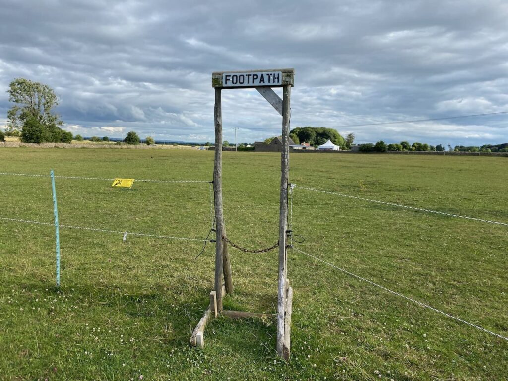
We leave the caravan site by the footpath which runs beside the ménage and then heads across paddocks to a stile which we go over and then cross the road to another stile into a field.

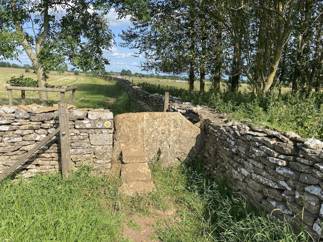
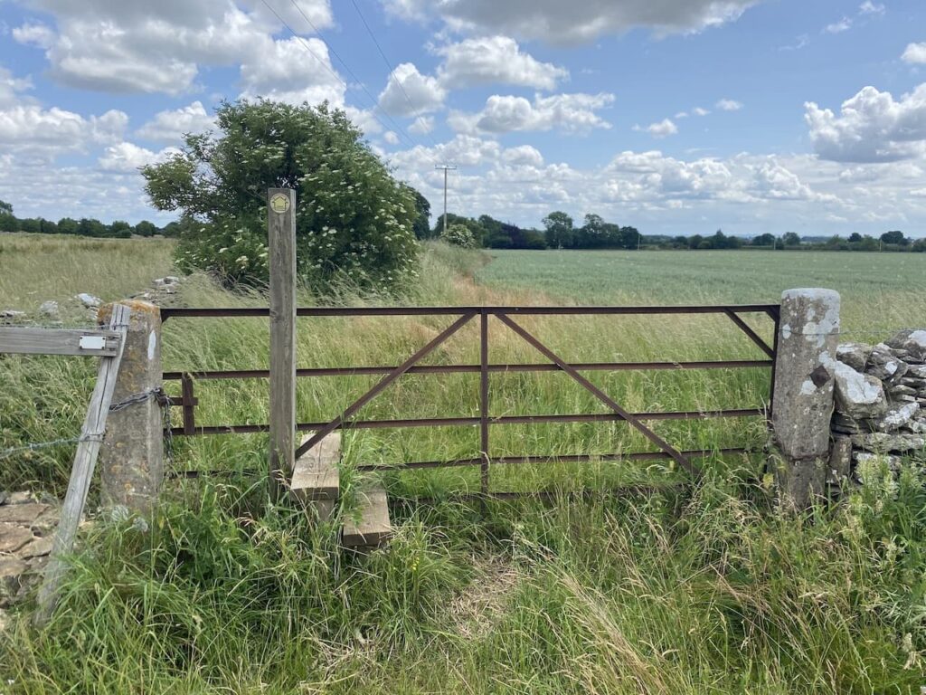
We soon reach another stile which is built into a gate. This is a strange feature, I can’t recall encountering any stiles like this elsewhere in the country and we have gone over two in the last two days.
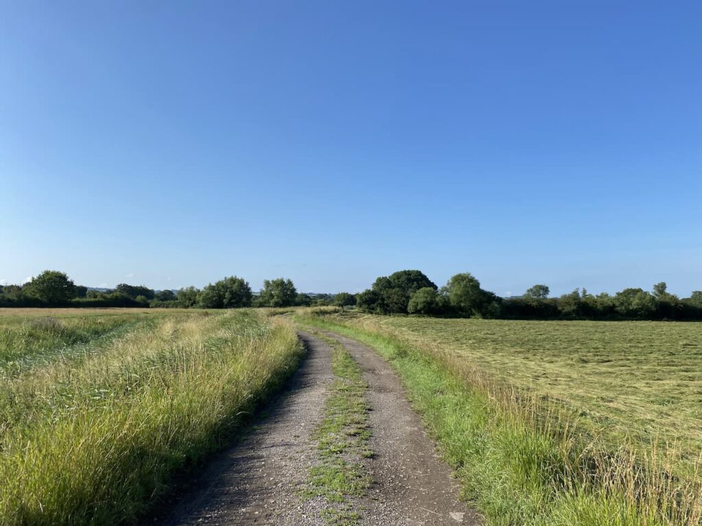
The path now follows the edge of the field heading towards Peaches Farm. At the farm we turn right and follow a track past a stable and into a field.

We reach Lower Peaches Farm and then turn left along a track heading east.
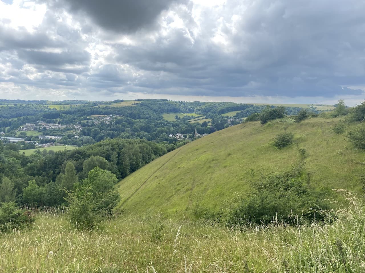
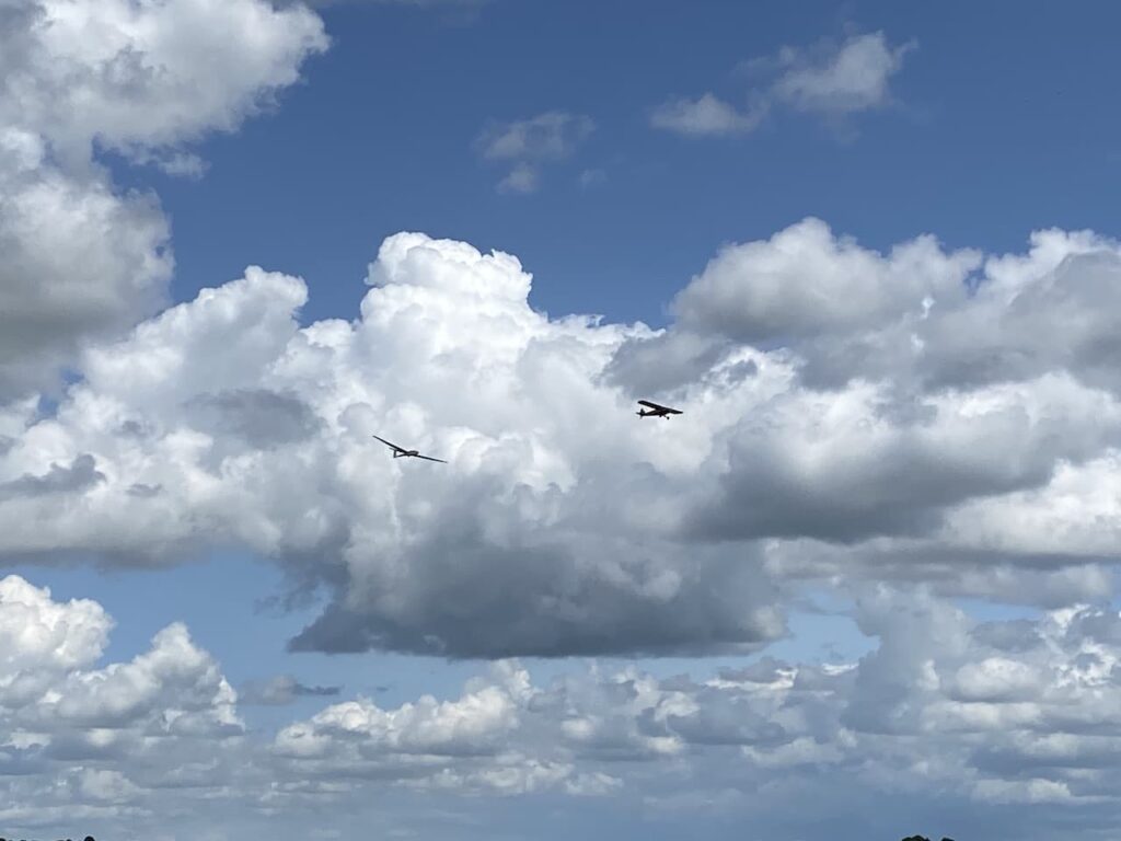
It is a cracking day and as we walk along the track the sky is full of small planes launching gliders into the sky from the nearby Cotswold Gliding Club on Aston Down Airfield. This airfield originally opened as RAF Minchinhampton during the first World War and was used by the Australian Air Corps. After the war it closed but reopened in 1938 with the new name of Aston Down RAF apparently after lobbying from the residents of Minchinhampton who feared if the town was connected to the airfield it would reduce house prices.
In 1967 the Cotswold Glider Club took over the airfield and in 2002 sections of land and the hangers were sold by the MOD for developers to create industrial units.
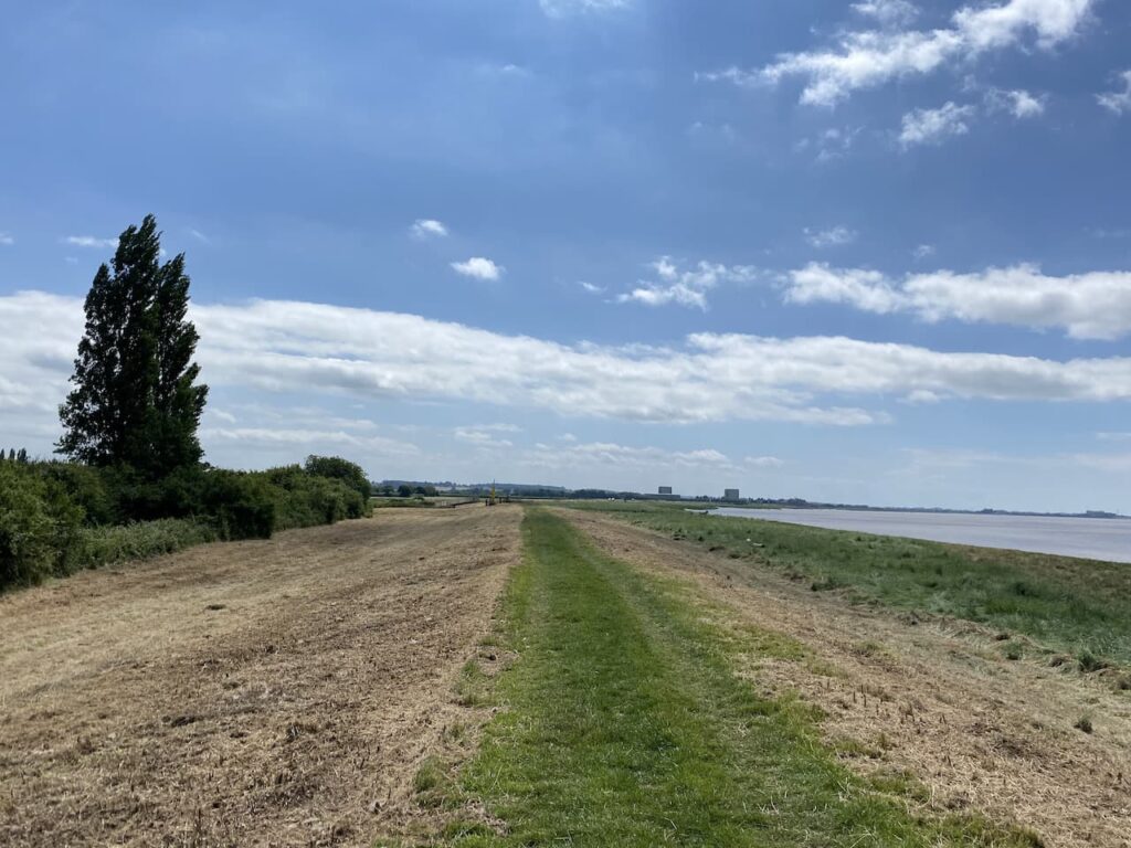
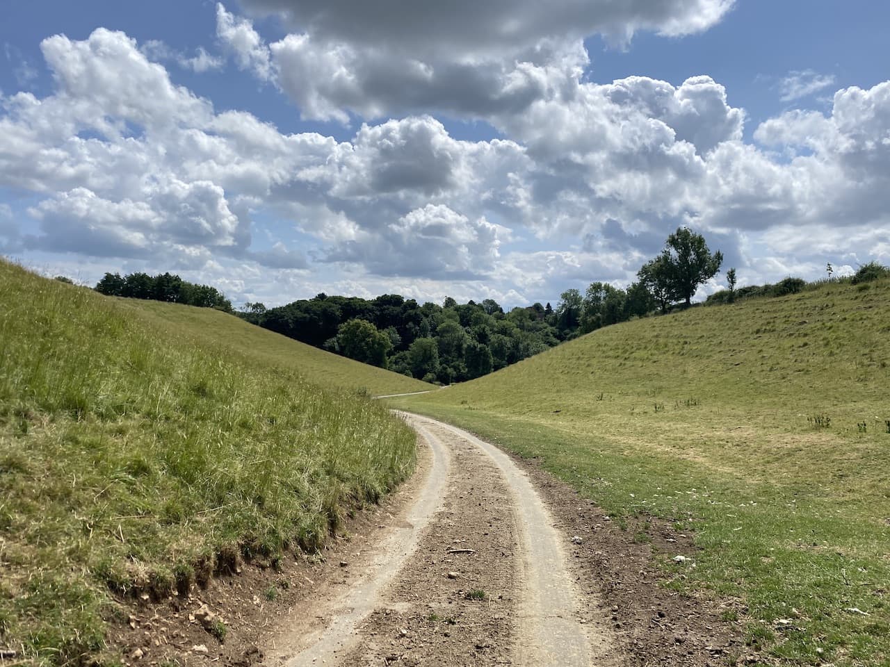
At a junction of tracks we turn right and head south along a broad grassy track. Overhead the planes and gliders continue to take to the sky. I’m not keen on flying and there is no way I could be persuaded to get into a glider!
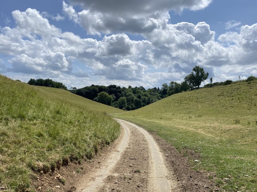
Ignoring a footpath on the right we stay on the track to reach a minor road and follow this downhill through a valley.
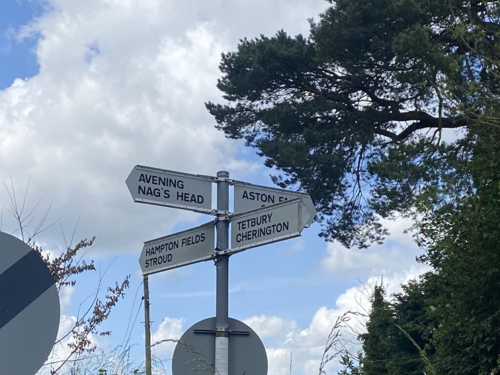
At a road junction on the edge of Cherington we turn right and head towards Nag’s Head. We are now going to follow the Macmillan Way for a few miles.
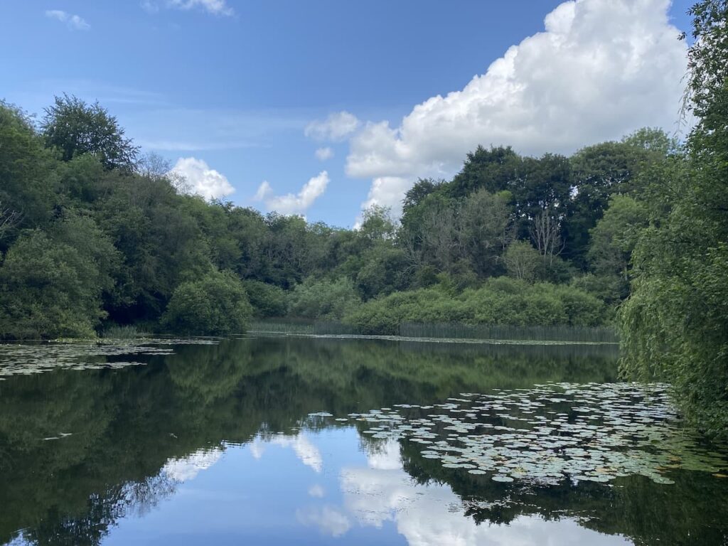
Initially the route follows the lane and then at the bottom of the hill we turn left onto a footpath into trees which soon has us walking besides Cherington Pond.
This pond was dug in 1740 as an addition to the Cherington Park deer park which was created in 1730. It is a tranquil spot and we enjoy a few minutes watching the wildlife around the pond.
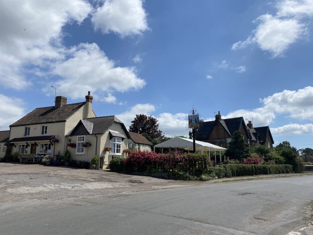
Continuing our walk we reach a minor road and turn right and follow this lane to reach Nag’s Head. This is one of those villages which is named after the village pub. Unfortunately the Nag’s Head pub closed in the early 1970’s but the pub building is easily identified as we head into the village.

We go through the village and continue along the lane towards Avening and as we go along I think how lucky we are that villages are no longer named after pubs, who would want to live in Slug & Lettuce for example.
However, modern developments do have a tendency to be misleading, why name a housing development which has gobbled up acres of farmland after the farm it has replaced, or name a street on a new development Orchard View, when all you can see is houses that once stood on an orchard!
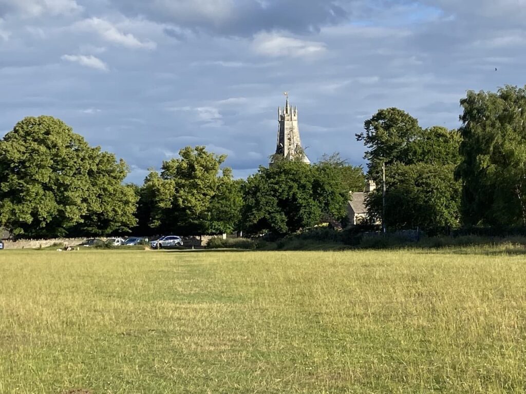
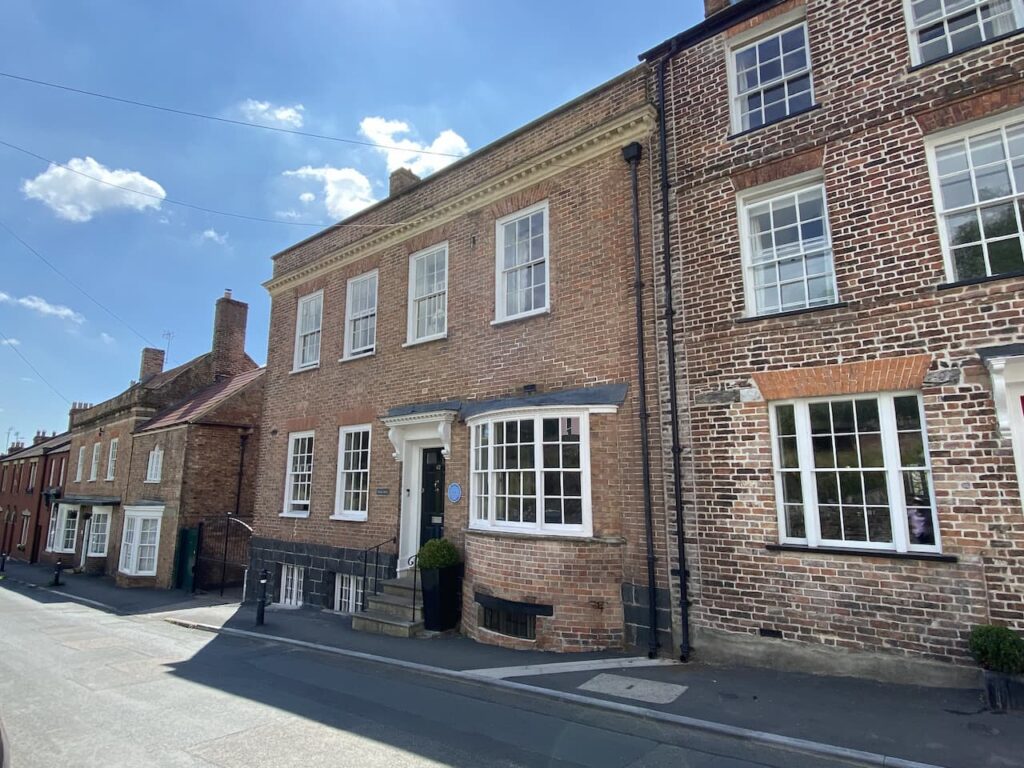
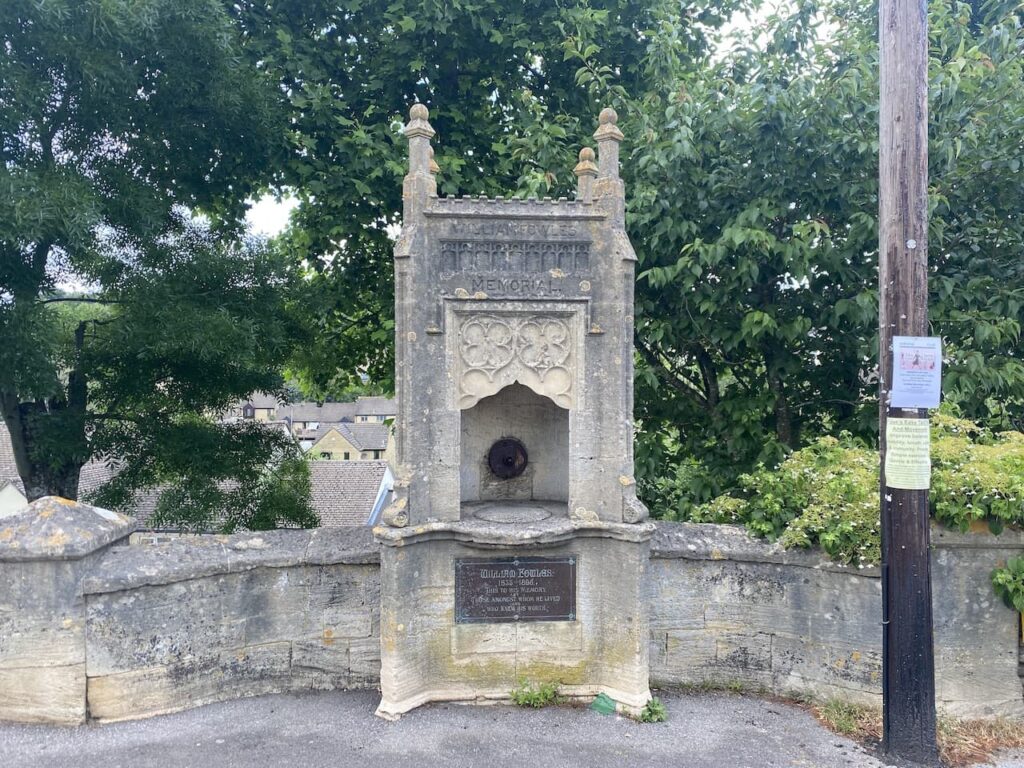
At a road junction we turn left and follow the pavement into Avening. Opposite the Queen Matilda Pub, which still has its old name the Cross Inn painted on the side, is the William Fowles Memorial. It carries the inscription “William Fowles 1835-1896. This to his memory by those amongst whom he lived and who knew his worth”
Later I set about researching what William had done to deserve this lasting legacy. An edition of the local parish council newsletter in 2015 contains a detailed account of his life. He was the second in a family of nine children. The 1851 census shows him as a 15 year old working for his father as a baker. Ten years later the census shows him as a master baker and Poor Rate collector. In 1863 he became the Parish Clerk, a position he held until his death at the age of 61.
It is reported he died of blood poisoning as a result of wearing coloured socks on feet that had sores. At the time of his death he owned twenty-three cottages locally, so he was obviously a successful business man.
We continue into the village along the High Street and then fork left by the telephone box into Point Road which goes into Farm Hill where we soon turn left onto a footpath which is still part of the Macmillan Way.
After an initial uphill section the path levels out and crosses fields heading towards the B4014.

At the road we turn right and follow it for a short while and then take a footpath on the right which takes us back into fields. At this point we realise that although the footpath does follow the road, the field margin has been left and used by walkers so there was no need for us to have walked along the section of busy road.
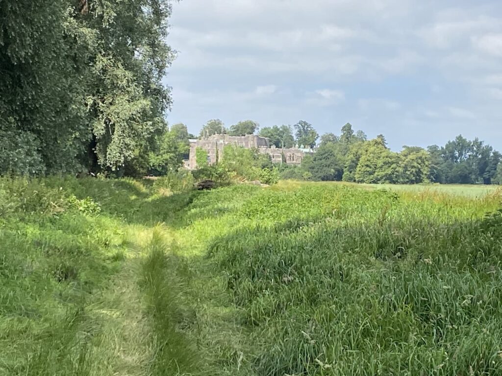
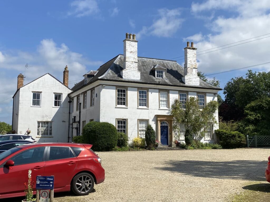
Now our route, which is still following the Macmillan Way, heads diagonally across fields towards a minor road which we cross and continue across further fields to reach another minor road close to the entrance to Chavenage House.

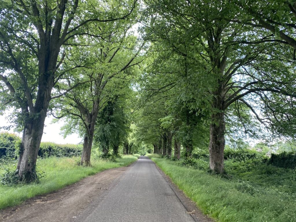
We now leave the Macmillan Way and turn right along the road and walk through a fine avenue of trees.
At a fork in the road we go right and then just before reaching Ledgemoor Road Cottages we fork right again onto a track. Besides this track is a notice warning people about shooting across the land. It infers that people proceeding along a public right of way do so at their own risk of being shot.
Perhaps the landowner or person who erected the sign should read the British Associations of Shooting and Conservations guidance on shoots over public rights of way. This states “If a member of public is using a public right of way that crosses or is in the vicinity of your shoot or drive, the member of public has the right to pass and re-pass along the right of way without hindrance. Therefore any shooting should be refrained from until they are at a distance where your activity should not cause any concern. This is particularly important if a bridleway is in use as a horse rider could be endangered by a startled horse. If a member of public approaches a path/bridleway a method for ceasing to shoot should be in place.”
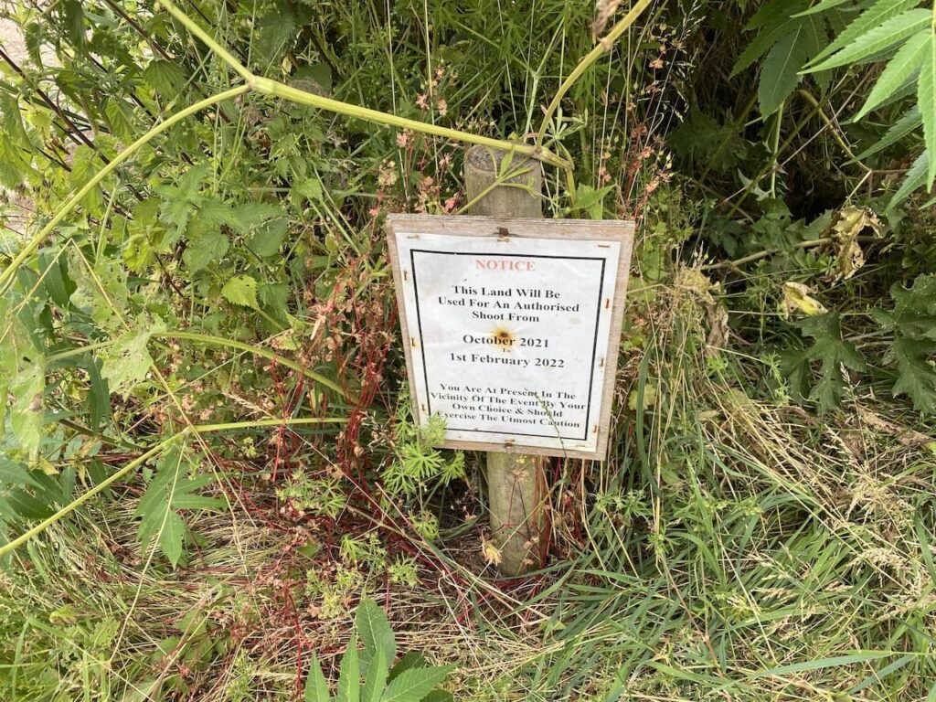
We head along the broad track without fear of being shot, but if we were not confident about walking in the countryside we might have been slightly cautious even though the dates on the notice have long passed.

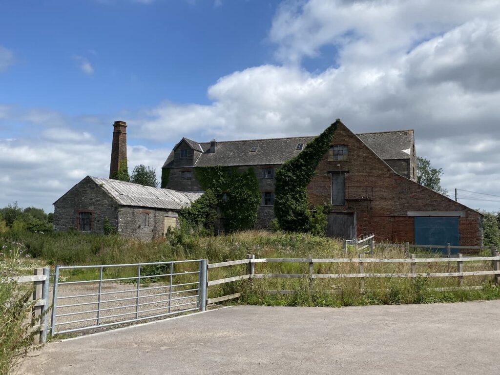
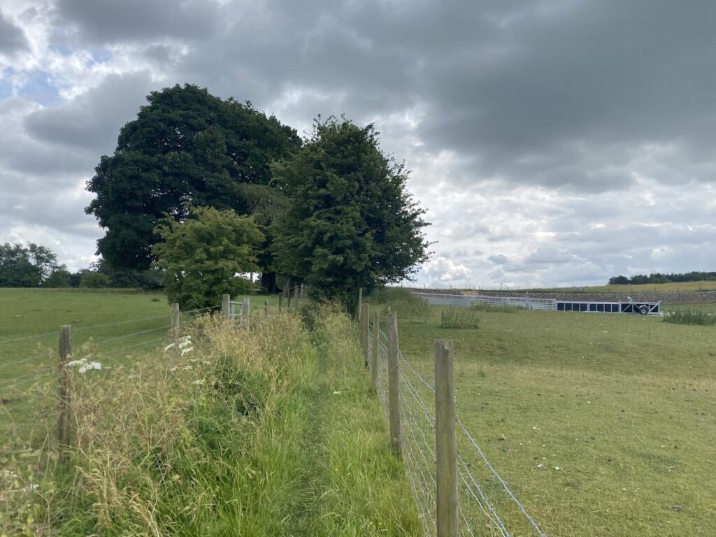
It is pleasant walking along this track and we soon pass Orange Grove Barn away to our right. Although we cannot see it from here there is apparently a private airstrip located beside this barn.

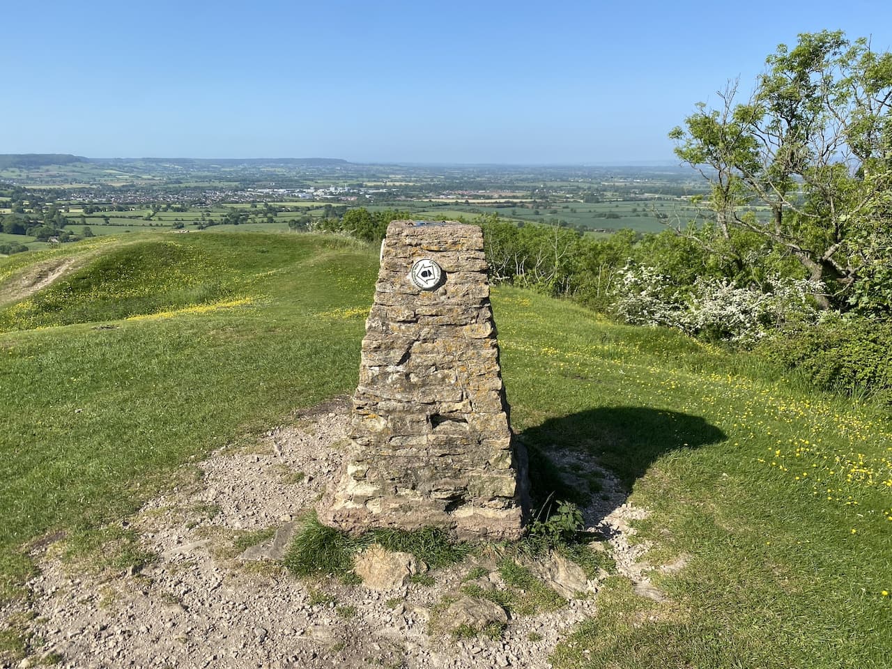
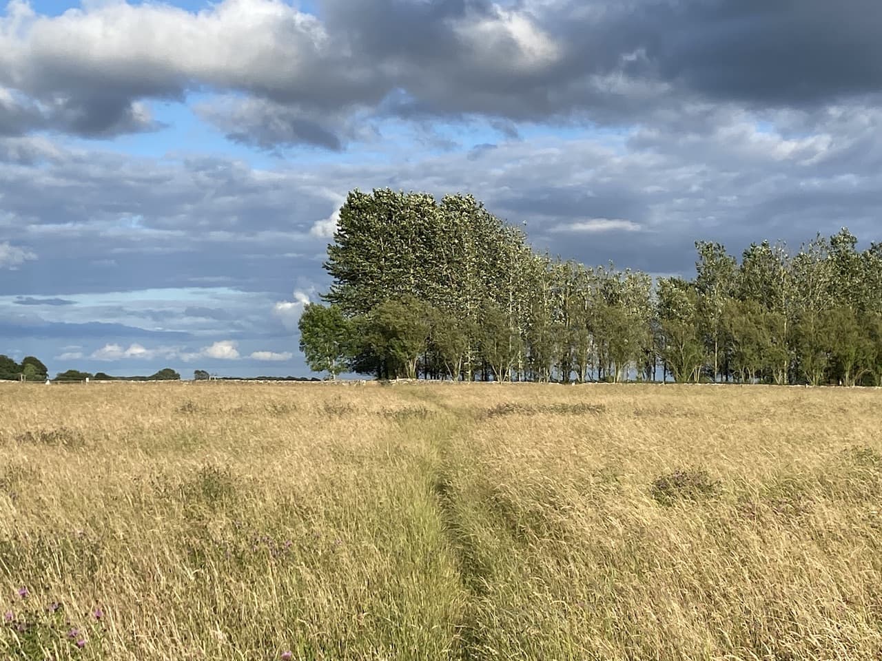
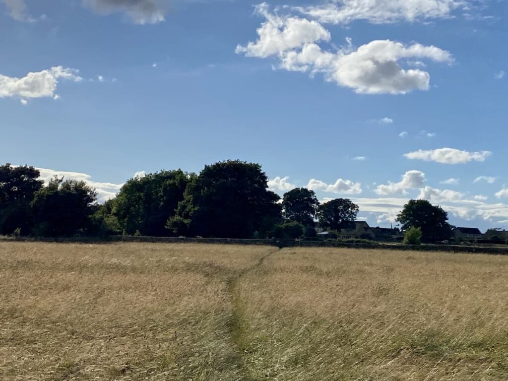
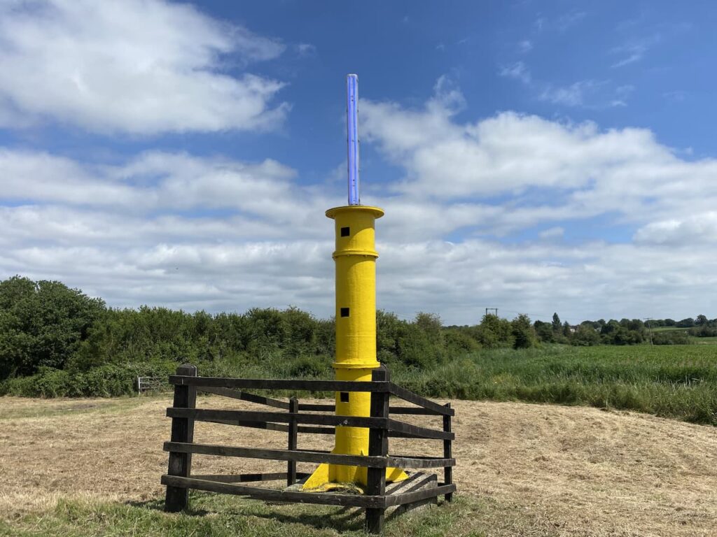
The track now descends into Ledgemore Bottom and then quickly rises again through Ledgemore Wood before proceeding between fields. After passing a couple of fields I make a slight diversion from the path to wander along the field margin to bag the Ordnance Survey trig pillar at Barton End, this is the 389th trig I have bagged.

Back on the track we continue to head north and soon reach a junction of tracks here. We turn right onto Shiptons Grave Lane. Apparently the lane is named after a local man whose grave lies at the crossroads of Tetbury Lane. It is reported he was executed for stealing sheep to provide for a starving family.
There is no obvious sign of where such a grave might be located and a quick search on the Internet provides no clues, so we head along the lane wondering if it is a rural myth or is there a sheep rustler buried hereabouts.

At the next crossing of paths we continue straight on with woodland to our right and then quickly reach another crossing of paths. Once again we go straight ahead, this time on a fenced path leading to Hazel Wood.

At a junction of paths on the edge of Hazel Wood we pass an information board and take the path in front of us leading downhill through the trees.

I walked through this area of woodland last year and noticed the number of trees suffering from Ash dieback. Since my last visit there has been a lot of forestry work to fell the diseased trees.

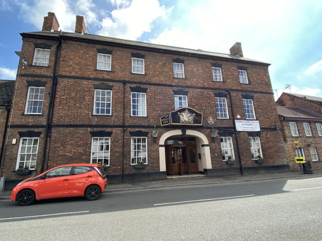
Following the path downhill we reach the B4014 road where we turn left to pass the Weighbridge Inn. Apparently parts of this pub date back to the 17th century, at that time the path we have just taken was a packhorse trail between Bristol and London. Then in the 1820’s the road we are on became a turnpike and the innkeeper ran both the pub and the weighbridge for the local woollen mills.
The Weighbridge Inn’s website also boasts about it being the home of ‘the famous 2 in 1 pies’, one half containing a filling of your choice and topped with pastry, the other half home-made cauliflower cheese. It sounds the sort of pie Lynnie and I would both enjoy.

Turning right at a road junction by the pub we cross a bridge and then go uphill. Soon we go through a gate besides a cattle grid and keep heading up towards Ball’s Green. Just before reaching the sign for the village we turn left up a driveway with a fingerpost for a public footpath to Box.
The path follows the driveway and then goes besides a property to emerge as a walled path.

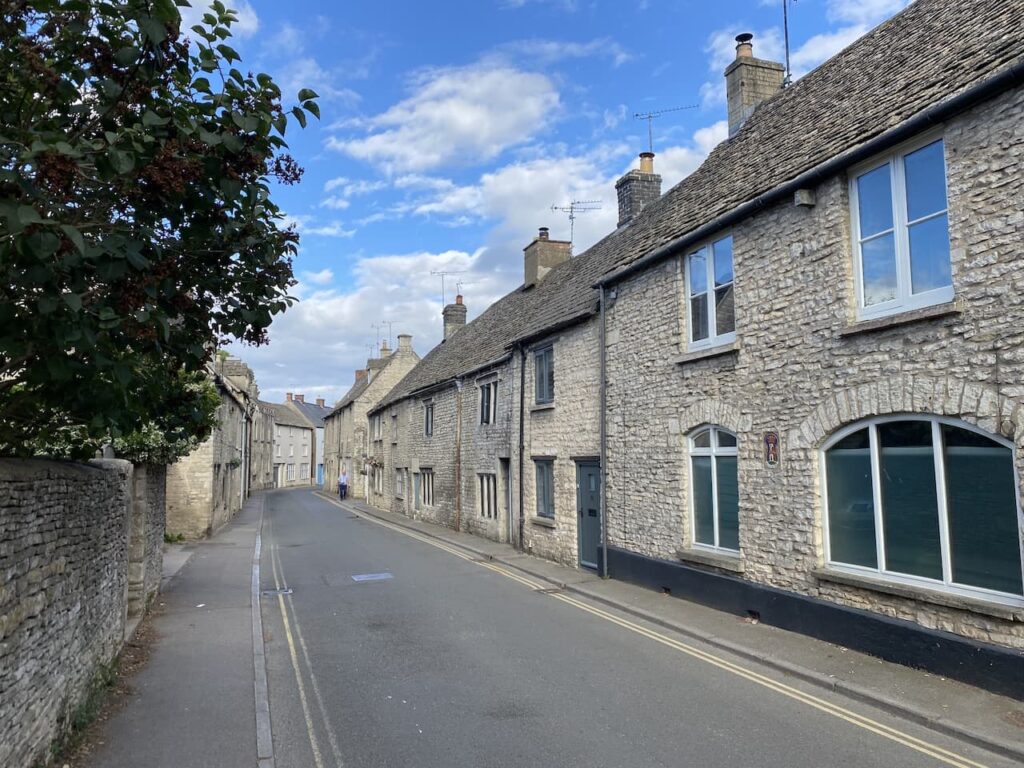
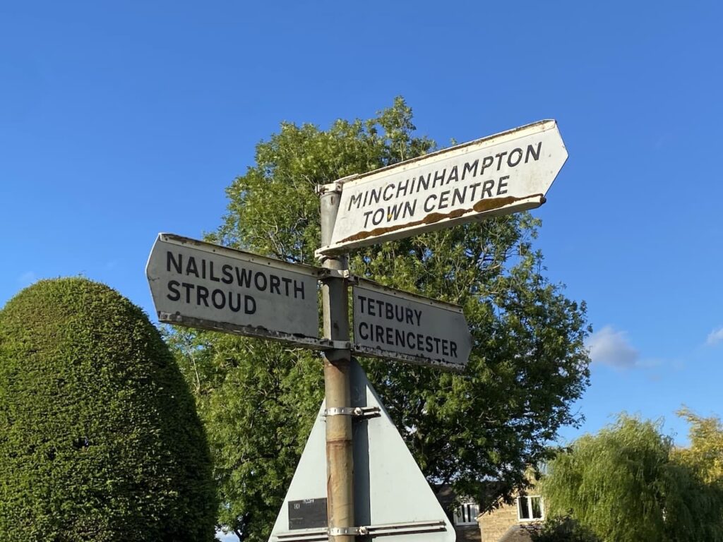
After going through a kissing gate the path becomes a track again and leads us to Box Lane. Here we turn right and follow this quiet lane into Minchinhampton. At a junction we turn right onto Common Road and then head into the centre of town.

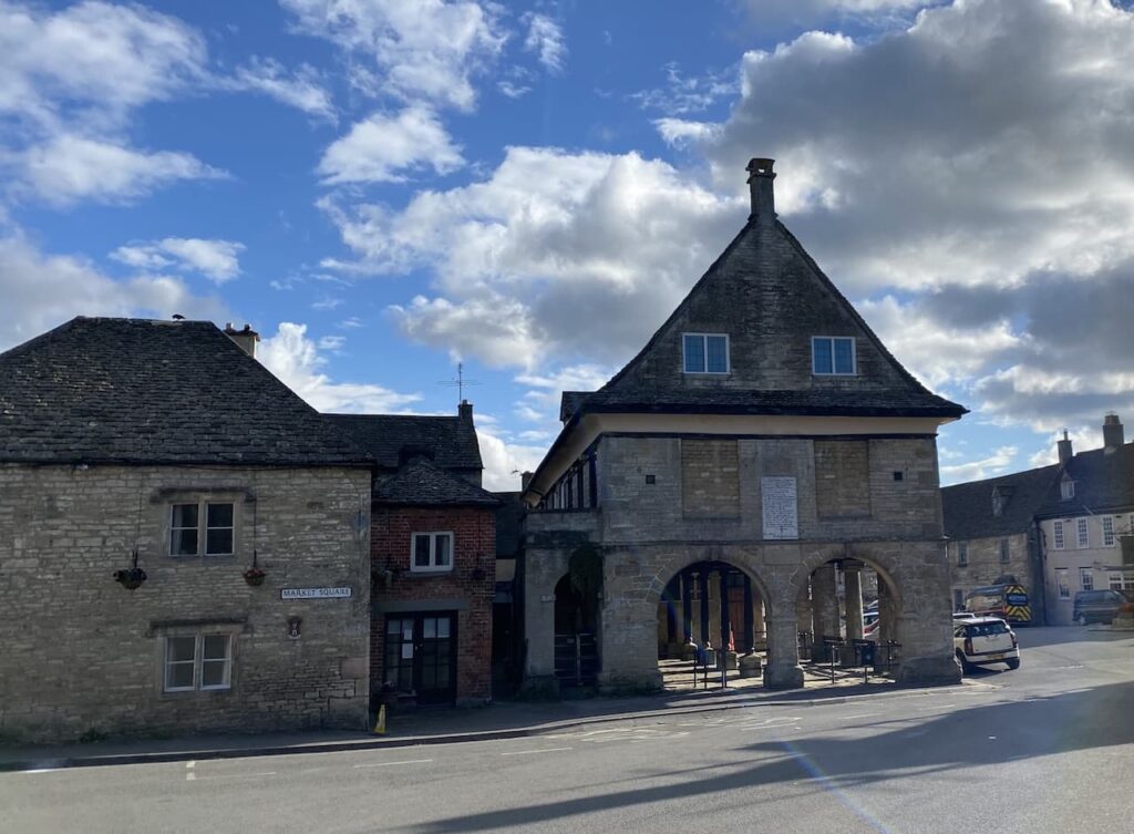
After passing the Fish and Chip Shop and the Butchers we turn left into the High Street and wander past the recently refurbished Crown Inn and the fine old Market House. Like many Cotswold towns Minchinhampton was built up around the wool market and the Market House with cattle barriers in the lower part would have been at the hub of the community.

From the Market House we join Butt Street and head uphill away from the centre of town. At a cattle grid with white gates beside it we turn right into Summerfield Road and walk through houses to reach another cattle grid where we turn right to rejoin the lane heading to the old common.

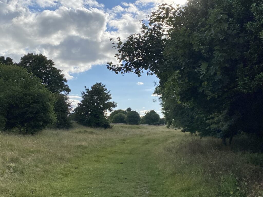
We go over the stile built into the metal gate and cross the field to go over a stone stile into a field and then head back to the caravan site. It has been an interesting walk full of local history

You can view this 12.5 mile walk on OS Maps and download the GPX File Here
To follow our walk you will need Ordnance Survey Outdoor Explorer – 168 Stroud, Tetbury & Malmesbury
21st June 2023
© Two Dogs and an Awning (2023)
All information on this site is provided free of charge and in good faith and no liability is accepted in respect of damage, loss or injury which might result from it. To the best of my knowledge the routes are entirely on public rights of way or within areas that are open for public access.
Walking can be hazardous and is done entirely at your own risk. It is your responsibility to check your route and navigate using a map and compass.