Category: Dorset

  • Hills and Forts around Shillingstone

    Hills and Forts around Shillingstone

    I haven’t been out for a day’s walking since returning from my trek between Taunton and Gloucester a couple of weeks ago.  A combination of wet weather and struggling with the aftermath of my last bout of Covid has meant I have lacked the desire to go walking for hours.  However, today the forecast is marginally better and I have arranged to meet up with my walking buddy Nigel from New Forest Navigation.

    The start point for our walk is the trailway car park on the junction of the A357 and Bere Marsh on the northern outskirts of Shillingstone (Grid Ref ST822119).  This is a large free car parking area with a height restriction barrier.

    From the car park we head under the disused railway bridge and turn right to walk up a slight incline to join the North Dorset Trailway and soon reach Shillingstone Station which has an array of locomotives and a cafe.

    Apparently the canopy of the station was erected in 1899 especially for the Prince of Wales, the future King Edward VII, who was visiting Lord Wolverton’s nearby estate for a shooting party. There was concern that without the canopy some precipitation might fall on his regal head.  There is no report about how he was protected from the elements whilst out shooting.

    To our left is the River Stour, which has burst its banks and flooded the surrounding fields.  Later  we will be crossing the river between Child Okeford and Bere Marsh, hopefully it won’t be flooded there.

    Passing the station we continue along the North Dorset Trailway old, this is a 14 mile route from Sturminster Newton to Spetsbury. It predominately follows the old track bed of the disused Somerset and Bristol Railway.  This line once linked Bath to Bournemouth and opened in 1863 to connect the English Channel to the Bristol Channel, it operated until falling victim of the Beeching Cuts in 1966.

    We ignore a couple of footpaths off to the right and stay on the disused railway line until we reach a point where the Wessex Ridgeway passes under the Trailway.  Here we take a path down to the Wessex Ridgeway and then turn right along a lane and soon cross the A357, Blandford Road, joining a footpath on the far side which goes through a gate into a field.

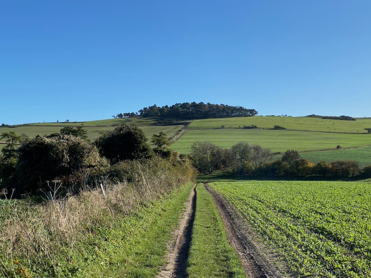
    We quickly pass through the field keeping a watchful eye on a bull on the far side.  He is totally disinterested in us, this is a well-worn path and he must see lots of walkers and presumably has decided they present no threat to him.  Through a gate we turn right along a lane and then quickly reach a junction where we turn left and follow the lane which soon becomes a track.  At a fingerpost we stay with the main track following the route towards Shillingstone Hill.

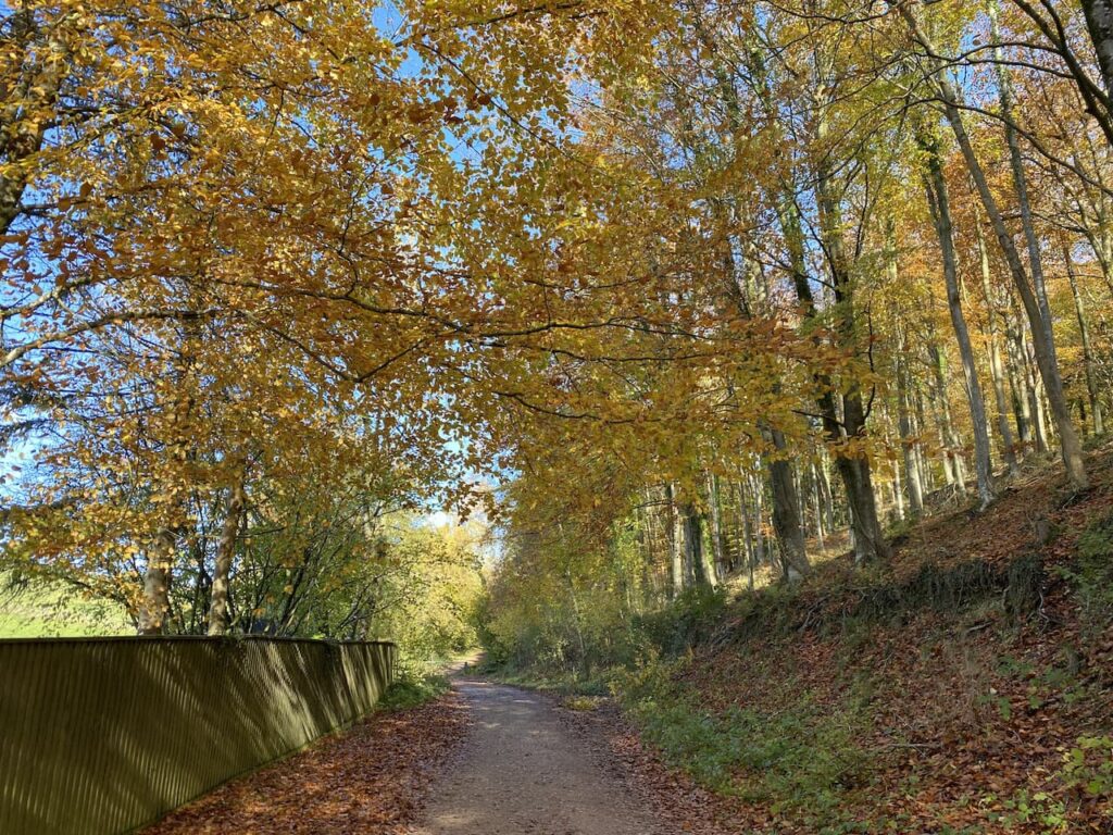
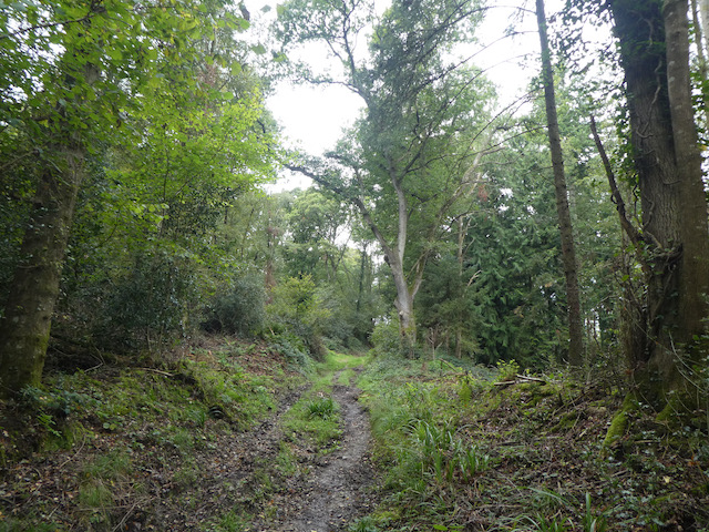
    It is now a long steady ascent through woodland towards the top of Shillingstone Hill.

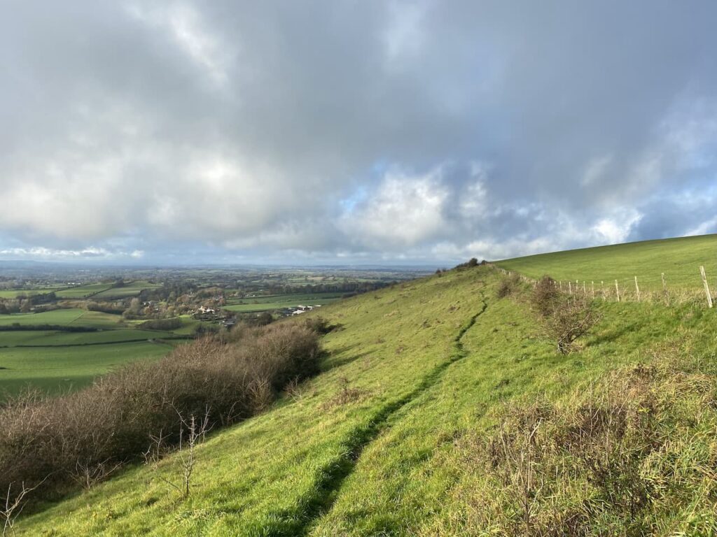
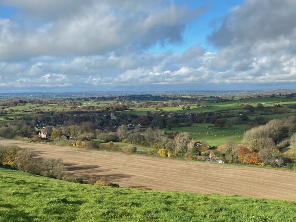
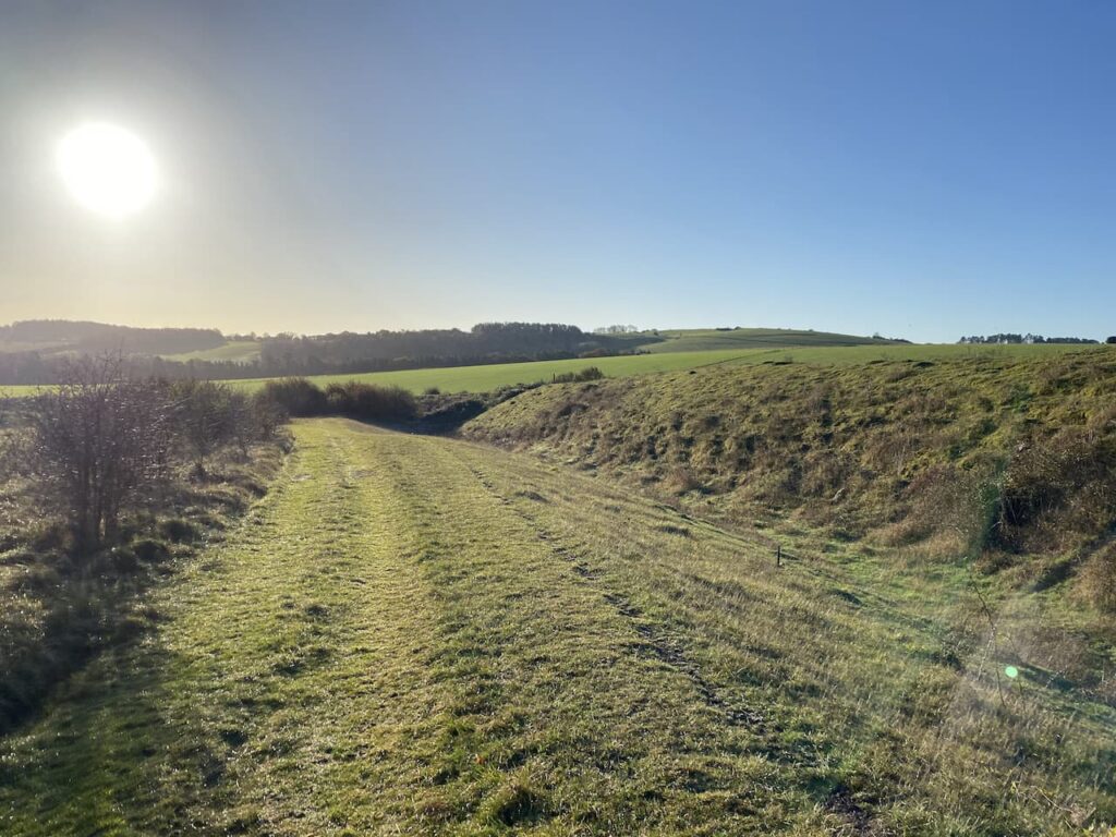
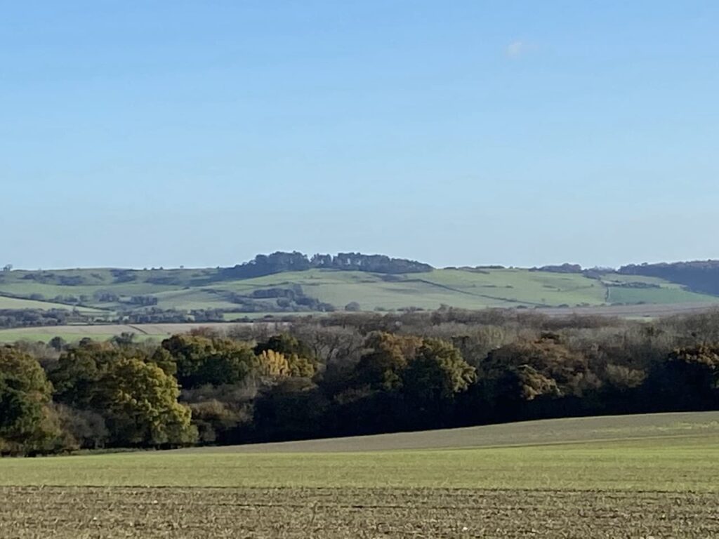
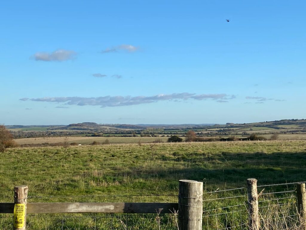
    At a junction of paths on the edge of the woodland we turn left and follow along the field boundary until we reach another junction of tracks, here we turn right along the northern edge of the field.  There are fine views from here.

    Now walking through Blandford Forest we take a track heading in a southerly direction which soon re-enters woodland.

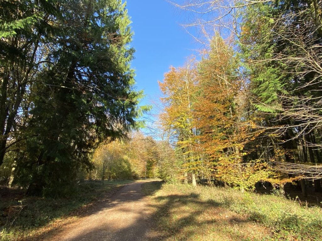
    This is a pleasant area of woodland to walk through.  At a junction of tracks we turn left towards Folly Barn and Durweston.  After passing Folly Barn we leave the tarmac lane and go through a gate to take a footpath which descends steadily to Sutcombe Wood.

    We pass through a couple of gates and fields to reach the edge of Durweston.  In the village we turn right and then at a junction take another right before quickly turning left into Church Road.  From previous walks we know there is a bench in the churchyard of St Nicholas’ Church which is an ideal spot to sit in the sunshine and have our elevenses.

    Refreshed we resume our walk by heading back along Church Road and turning right to walk downhill to cross the A357 at Durweston Cross to join Water Lane.

    We continue along Water Lane and then just before the houses end we go left on a path leading to Mill Lane where we turn right to pass the mill and reach the River Stour and the mill pond.  The water in the river is high and there is a lot of foam on the surface.  It would be nice to think this is a result of the water pressure rather than effluent from the sewage works nearby.  Ten years ago I would not have thought this but now it is a sad indictment of the state of our water system that Government Ministers feel it is acceptable for water companies to pump sewage into our rivers.

    We have now joined the route of the Stour Valley Way, a long distance 62 mile path along the River Stour from its source at Stourhead to the sea at Hengistbury Head near Christchurch.  After crossing a disused railway line we leave the Stour Valley Way and continue straight on along a track.

    At a stile beside a gate we enter a field on the left and walk towards the edge of a housing development besides the A350.  Joining the pavement we walk towards the White Horse Inn which also houses the village shop.

    We will return to this point, but first we are going to bag a trig pillar at Downend Farm.   To do this we cross the road and continue along for fifty metres and then turn right into Bottom Road.  Initially this is a tarmac lane but becomes a hedge-lined path as it gradually heads uphill.  At the end of the track we turn to the right and walk across to the trig pillar.

    This trig has been moved from its original location which was in a field on the other side of the farm buildings.  Whilst I prefer to visit trigs in their original location, I am happier that it is moved  than be inaccessible or even worse destroyed.  This is the 412th trig I have bagged.

    From the trig we turn around and head back down Bottom Lane towards Stourpaine.

    Back in the village outside the White Horse Inn we take the lane to the right of the pub, South Holme and follow this into the centre of the village.  It looks like there is rain heading our way so we turn left at the end of the lane a sit on the stone bench inside the lych gate of the church to have our lunch.

    By the time we have finished lunch the rain has eased to steady drizzle.  Our route is now through the village along Manor Road heading north.

    We are back on the route of the Stour Valley Way and follow the lane to pass cottages and then it becomes a track beside the River Irene.

    At a junction of tracks we turn left, still on the Stour Valley Way heading steadily up towards Hod Hill.

    After going through a gate we go through the ramparts of the Iron Age Hill Fort on Hod Hill.

    There are a network of paths on the access land covering Hod Hill, but we stay with the route of the Stour Valley Way across the plateau and through the location of the Roman Fort which was built around AD350. We then descend towards a minor road and Keeper’s Lodge.

    After crossing the road we take a path to the right of Keeper’s Lodge, still on the Stour Valley Way, it is a long steep ascent towards Hambledon Hill. As the path levels we go through a gate on our left and enter a field of cows, fortunately they are not at all bothered by us and we pass through to reach another gate without incident.  Keeping the fence line to our right we head through this field to reach another gate.

    The path now leads us to the Ordnance Survey trig pillar on Hambledon Hill.  I have bagged this trig before but is still worth stopping to look at the views.

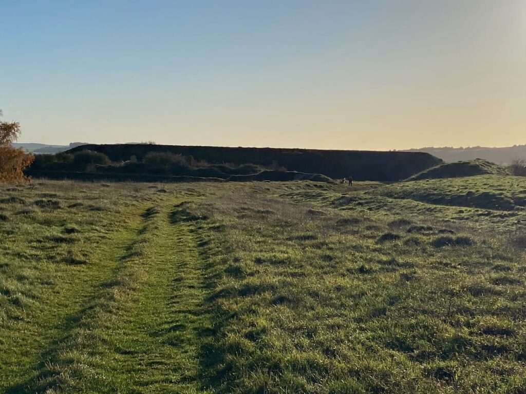
    Soon we are on the edge of the impressive hillfort on Hambledon Hill.

    There are a range of options of routes to take, we decide to head to the southern side of the fort for a good view of the ramparts.

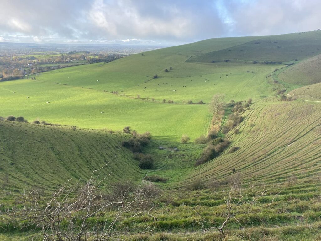
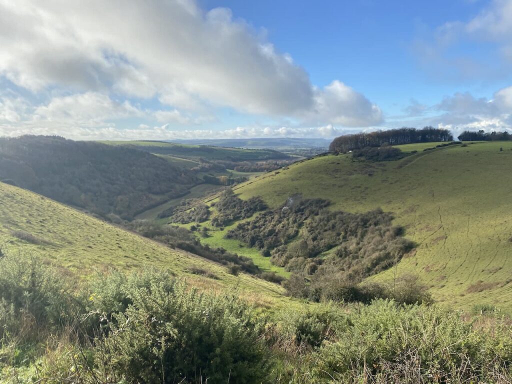
    The outlook from this hill across the Stour Valley is stunning.

    On the far side of the fort we descend steadily to a gate leading to a hedge-lined path going into Child Okeford.  At a minor road we turn left and head into the village passing the Baker Arms.

    Just before the village shop we turn right into Haywards Lane and stay with this until we reach a footpath on the right which is opposite the entrance to a close called Jacobs Ladder.  We go right and head through a kissing gate on the route of the Stour Valley Way and the St Edward’s Way.

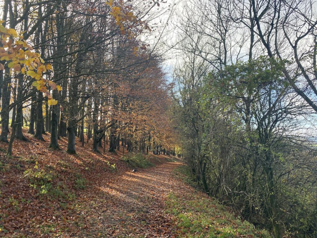
    The St Edward’s Way is a 30 mile long distance path which goes between the west door of St Mary’s Church in Wareham to Abbey Museum in Shaftesbury.  This is the route that the body of the boy King, St Edward was taken in AD979 when it was moved from Wareham to Shaftesbury.  The section we are now following is a fence lined path by an avenue of trees.

    After going through a gate we continue across a field and then go through another gate to enter access land close to the river.  

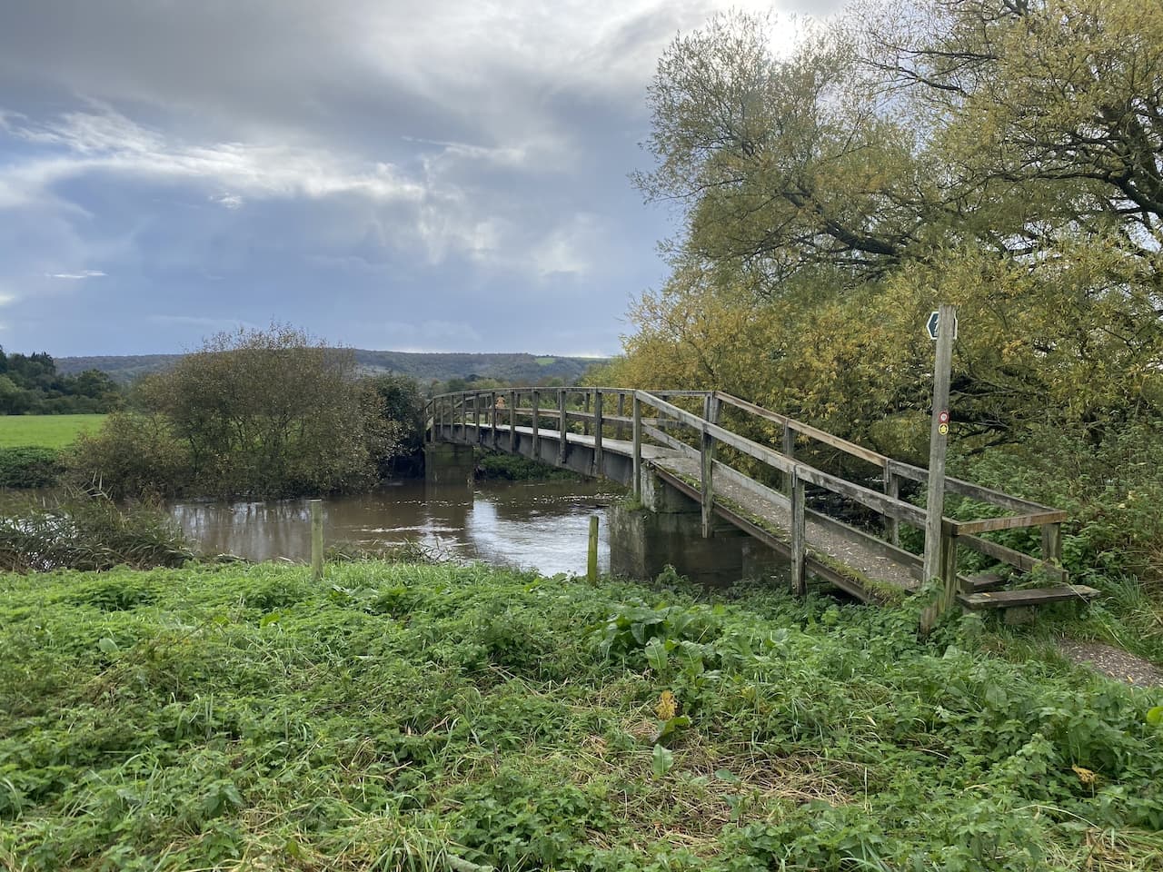
    Our route across the field is blocked by flood water but we work a way around it to reach a footbridge over the River Stour.

    The route is now a fence lined track which has flood water across parts of it, but once again we are able to negotiate a way around without getting wet feet.  The path now reaches an interesting bridge made out of old railway lines filled with concrete which span a stream.

    From here we cross a field at Bere Marsh Farm and return to our starting point.  We have covered an interesting 12.5 miles and apart from one heavy shower have managed to avoid the rain.  As always, walking in Nigel’s company has been an enjoyable experience.  Before departing we make plans for our next walk in a few weeks’ time.

    You can view this 12.5 mile walk on OS Maps and download the GPX File Here

    To follow our walk you will need Ordnance Survey OS Explorer – 129 – Yeovil & Sherborne; OS Explorer – 117 – Cerne Abbas & Bere Regis; and OS Explorer – 118 – Shaftesbury & Cranborne

    27th October 2023

    © Two Dogs and an Awning (2023)

    All information on this site is provided free of charge and in good faith and no liability is accepted in respect of damage, loss or injury which might result from it.  To the best of my knowledge the routes are entirely on public rights of way or within areas that are open for public access.
    Walking can be hazardous and is done entirely at your own risk.  It is your responsibility to check your route and navigate using a map and compass.
  • Two Trigs in Wareham Forest

    Two Trigs in Wareham Forest

    Following my solo trip in the new caravan a couple of weeks ago we are now both getting away for a few days to fully test out everything before we start our planned trips over the next six months. I have been busily organising our schedule which will see us visiting the Brecon Beacons, Northumberland, the Scottish Borders, Peak District and the Yorkshire Dales.

    Our current trip is five nights at the Caravan and Motorhome Club main site at Hunter’s Moon in Wareham Forest.  We know this part of Dorset well because Lynnie grew up in the area and still has relatives living locally.  So it will be a good chance to do some walking and catch up with friends and family.

    Wareham Forest is only just over forty miles from home, so a relatively short journey to reach Hunter’s Moon and it does not take long to get pitched up and sorted out.  Luckily there is still plenty of daylight for a decent walk.  We decide to head out from the site and exit through the main entrance and turn left along the road.  It is possible to walk along the verge, but we need to keep an eye out for fast moving traffic.  After passing the entrance to Birchwood Touring Park site we continue on a short distance and then turn right on a way-marked path for Woolsbarrow Hillfort.  There is also a marker for the St Edward’s Way on the finger post.

    We now follow the fenced footpath heading north towards the caravans in Birchwood Park.

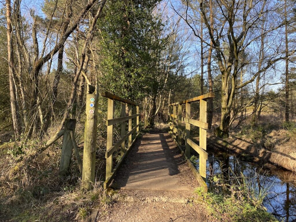
    After passing the caravan site the path goes through a boggy area, fortunately it is easy enough to negotiate a route through without too much difficulty and then we cross a footbridge over a stream.

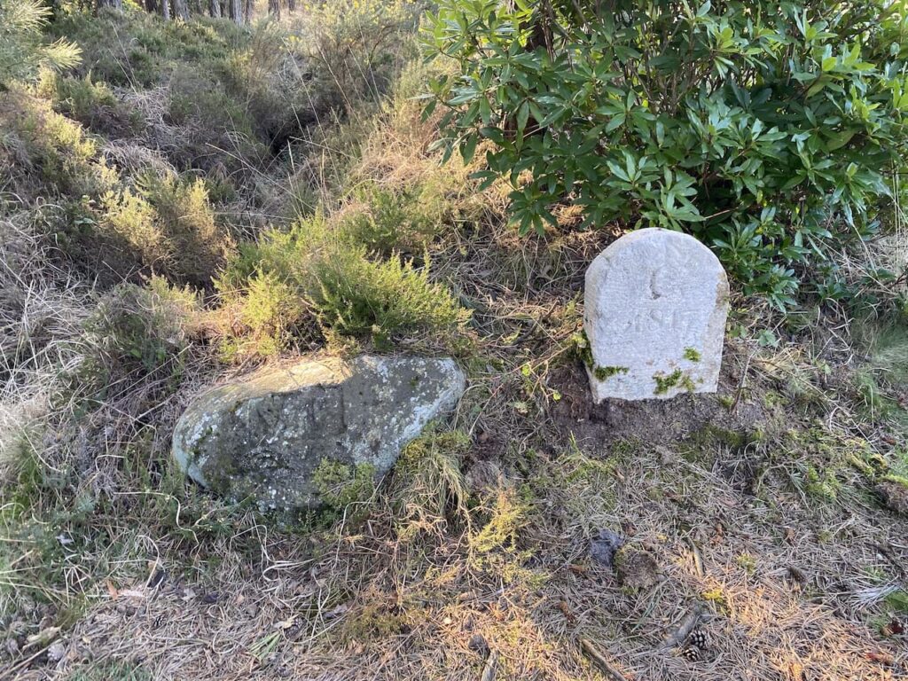
    The ground becomes a bit firmer underfoot as we head towards a junction of paths besides two boundary stones at Old Ram, one of which is dated 1817.  In the past this was the crossing of major routes through Wareham Forest.

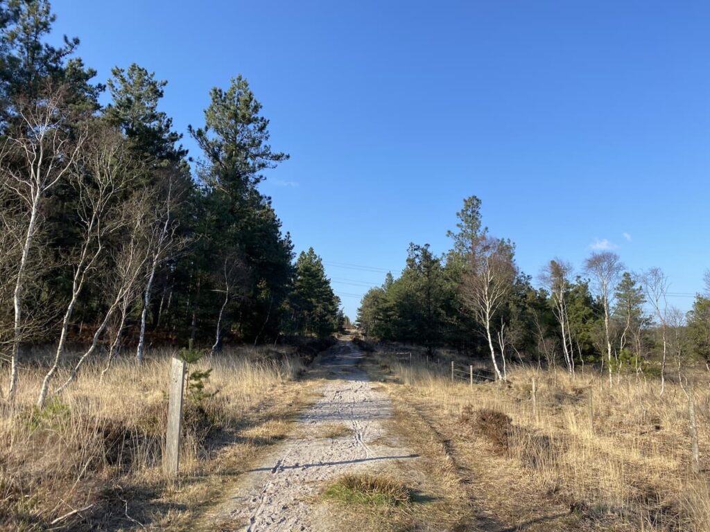
    At this junction of paths we continue to head north on the Wareham Forest Way towards Woolsbarrow Fort.

    The path heads steadily uphill to reach a crossing of paths with the Hardy Way, we continue straight on and after a couple of hundred metres fork left and continue through the ramparts of the hillfort.  Woolsbarrow is a late Bronze Age to Early Iron Age fort and although only 67 metres above sea level provides stunning views over the surrounding heathland.

    On the ramparts there is an Ordnance Survey Trig Pillar, we have been here in the past but before I was bagging trigs so we wander over to add this one to my list. It is the 294th I’ve bagged.

    From the hillfort we retrace our steps back down to the junction with The Hardy Way and head east across Morden Heath.

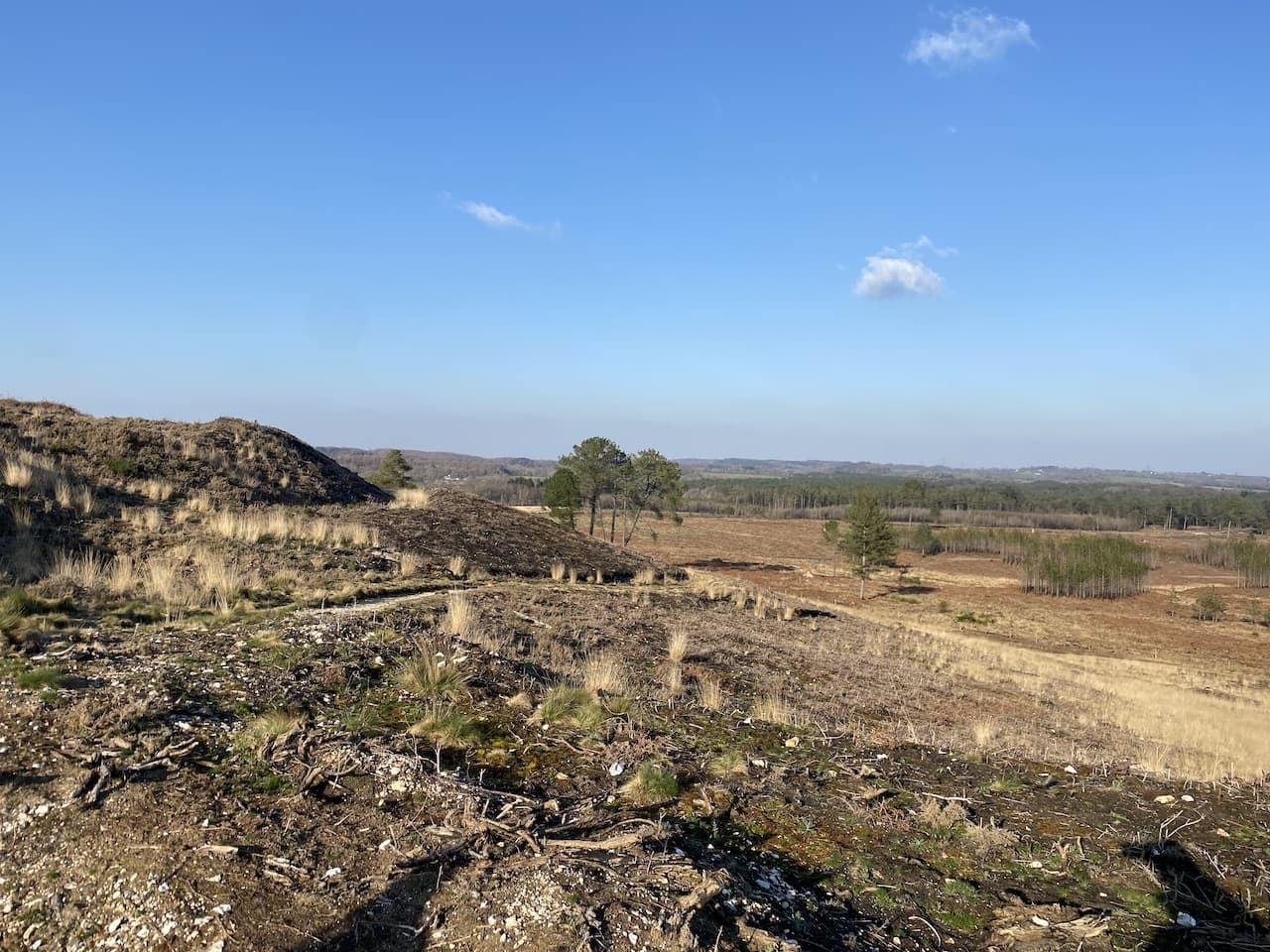
    On 18 May 2020 a major fire broke out in Wareham Forest which burnt until the 29th May devastating 220 hectares of land.  150 firefighters fought the blaze and it is estimated that around 4 million litres of water were used to quell it.  However, this was not the only major fire to affect the woodland.  In 1947 a huge blaze went on for four days closing the road between Wareham and Bere Regis and causing ammunition left behind from World War II troop manoeuvres to explode.

    At a junction of paths we leave The Hardy Way and keep heading east on a footpath leading towards Sherford Bridge.  This path skirts the edge of woodland and then goes through a field to reach the B3075 at Sherford Bridge.  We cross the road and join a track leading into woodland on Gore Heath.

    There are a network of paths and tracks in these woods so plenty of options to choose.  Our route continues along the track for a couple of hundred metres and then we turn right to head south towards the summit of Gore Hill.  After crossing another track we continue south and then just before reaching another junction of tracks we follow a well-worn path that heads to the summit of Gore Hill and an Ordnance Survey trig pillar.  This one has been painted a bright green colour, which is a bit off putting to a trig purest but it still counts and goes down as my 295th bagged!

    From the trig we head down to a junction of tracks and continue to wend our way south.  At the next two crossings of tracks we carry straight on and then at the next junction we turn right and soon after take a left leading uphill to a five way junction of tracks where we turn right and follow this track to a gateway on the edge of woodland which overlooks open heathland.

    After going through the gate we head downhill on a path through gorse and heather towards a track.

    On reaching the track we turn right on the route of the Poole Harbour Trail which is a network of circular and linear paths around Poole Harbour.  The track leads us through a gate besides the B3075 which we cross and continue on a track on the opposite side to reach a gate which we go through and then continue with good views across Decoy Heath.

    The light is beginning to fade, but I am confident we will get back to the caravan before it gets dark, the track leads steadily downhill to reach a bridge over a stream at Morden Bog.

    We then turn right, briefly joining the Hardy Way, after a couple of hundred metres we take a track on the left and then a few hundred metres further on take another track on the left which is a short steep ascent to the top of a hill.   At a junction of tracks we go right to follow the path towards a parking area.

    After passing the parking area and crossing the road we take the path opposite.  After a couple of hundred metres we turn right on a junction of paths and soon reach a crossing of paths where we go straight on along a fenced path with a solar farm to our right.  

    After crossing a raised walk way we soon reach a junction of paths where we turn right and head north back towards the caravan site on the route of the Wareham Forest Way and St Edward’s Way.  The St Edward’s Way is a thirty-mile route from Wareham to Shaftesbury Abbey.  The route is said to follow the journey that St Edward the Martyr’s remains were taken on after his murder at Corfe Castle in 972 to be buried at Shaftesbury Abbey.

    Sections of this path are a bit muddy and it is just getting dark and we are relieved to reach a gate to re-enter the caravan site.  Unfortunately it is locked and we do not know the code to open it. (I later discover this is shown on the other side of the gate on the assumption that anyone leaving the park will want to come back through the gate, but it is not shown on any other information about the site!)  Instead we have to continue along the path, as it nears the road the route appears to head towards a quarry works service road, however, the secure gates leading to the site are now closed for the evening!

    Clearly we now have a problem, but experience has taught me in such situations that it is best to take another good look at the map ensuring we have taken the right path and not just followed a path made by others.  Fortunately I spot that the footpath actually veered to the right just before reaching the service road so we take this much boggier route to reach the Wareham to Bere Regis road where we turn right and walk the short distance on the verge back to the entrance of Hunter’s Moon Caravan Park.

    Our quick jaunt has covered just over 8.5 miles and has been a good stretch of the legs with the added bonus of two more trigs bagged.  

    You can view this 8.5 mile walk on OS Maps and download the GPX File Here

    To follow my walk, you will need Ordnance Survey Maps: OS Explorer Map OL 15  Purbeck & South Dorset

    7th March 2022

    © Two Dogs and an Awning (2022)

    All information on this site is provided free of charge and in good faith and no liability is accepted in respect of damage, loss or injury which might result from it.  To the best of my knowledge the routes are entirely on public rights of way or within areas that are open for public access.
    Walking can be hazardous and is done entirely at your own risk.  It is your responsibility to check your route and navigate using a map and compass.
  • A Forgotten Dorset Village

    A Forgotten Dorset Village

    Today I am walking in the Dorset countryside with my walking buddy Nigel from New Forest Navigation. Just over a year ago, whilst still avoiding contact with others, I did a cracking twenty mile walk from Martin Down that followed a section of the Ackling Dyke Roman Road and visited the Gussages.  Today we are doing a similar, but shorter version of the route and along the way we will visit the location of a long lost Dorset village.

    We start from the large Martin Down Nature Reserve car park besides the A354.  Heading out from the southern end of the car park we pass a metal barrier beside information boards. Initially the path heads through shrub, but then opens out on to the vast expanse of the nature reserve, over 850 acres of protected land providing a haven for flora and fauna.  

    We follow the track towards the dominant rifle range butt in front of us.  This area was used as a military rifle range up until the 1950’s and evidence is still strewn across this area of the downs.  Before reaching the butt we take a path on the right heading across the Bokerley Dyke.  This ditch is thought to have been built during the iron age and fortified in the 5th century.  It runs for around 3.5 miles and is an impressive structure.

    We pass through the dyke to reach the fence-line and enter a field taking a footpath on the right that continues along the edge of the field with the fence to our right.  The path follows around the edge of the field and we are soon heading south with a hedge line to our right.  

    At a junction of paths we continue straight on to reach a gate besides a crossing of paths.  Here we continue along a tree lined path still heading south towards Pentridge.

    As the path reaches farm buildings it becomes a tarmac lane and we stay with this to walk into the village. Our route continues south through the village and passes Manor Farm to join a farm track.  

    At a junction of paths we turn right and follow a track that soon heads uphill along the edge of a field.  The map shows the area we are walking through is the location of a Cursus, despite having walked here previously I had not paid much attention to this reference which is surprising because I am usually looking out for odd things on the map.

    Like me Nigel spends time just looking at maps, there is a clue to this in his chosen line of work; teaching people to navigate.  He explains a cursus is an elongated rectilinear Neolithic (c.3000-2400 BC) earthwork usually with a bank and external ditch, but occasionally by a line of closely-set pits. Their purpose is not known, which also tells us the Neolithic’s were too busy digging ditches and banks to record their purpose and they had little regard for future generations.

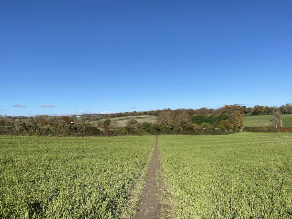
    The path shows clearly through the crops as it crosses the next field.  At a fork in the path we keep left to head towards the edge of Salisbury Plantation.

    We ignore paths to the left and right as we follow the path along the edge of the woods to reach the course of the old Roman Road, the Ackling Dyke. Here we turn left to follow its route.

    After crossing a stile there is an impressive array of tumuli in the next field.  

    Now we stay with the Roman Road as it gradually ascends to reach the B3081.  After crossing the road we go through a gate and follow a path running besides the overgrown Roman Road.

    The route descends steadily with fine views in front of us.  

    After crossing a farm track the route enters trees that form the edge of the Drive Plantation and continues on to reach a minor road.  We cross the road and continue uphill through the edge of woodland.  The Ackling Dyke covers 22 miles and connected the Roman settlements at Old Sarum on the edge of Salisbury and the Hillfort at Badbury Ring.  

    At a crossing of paths at Harley Gap we turn left and follow the Jubilee Trail along Harley Down.

    This is the first time I have walked along this track.  We soon get expansive views towards Penbury Knoll on Pentridge Hill.  This prominent landmark will form part of our route but we still have a fair few miles walking before we get there.

    At a junction of paths we turn right to leave the Jubilee Trail and within a few metres turn left to join a track (Coach Road) which heads towards All Hallows Farm.

    After passing the farm we join a tarmac lane and continue straight on, soon reaching the neglected graveyard of All Hallows Church.  

    In the past this area was a thriving village known as All Hallows or Wimborne All Hallows and was far larger than nearby Wimborne St Giles.  However, in 1672 Lord Shaftesbury whose seat was in Wimborne St Giles requested that the two parishes be combined by closing the living at All Hallows. He offered King Charles II a living of his choice in exchange for his agreement.  Charles II agreed to this request and seventy years later the church was demolished and the stone used to build St Giles Church in Wimborne St Giles.

    I don’t usually link to other people’s work in my blogs, but the Dorset Rambler has done some fascinating research into the village and some of the long deceased residents that now rest in this graveyard.  It is well worth reading and can be accessed here

    From the graveyard we continue along the road heading towards Wimborne St Giles and soon pass the Bull Hotel.  Sadly this pub is currently closed, apparently the owner is seeking tenants to run it, let’s hope they find someone and it is soon returned to its former glory.

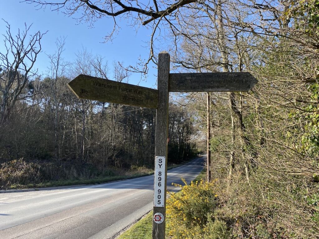
    A little further on we reach a road junction at Bull Bridge.  This junction has one of those fingerposts which is unique to Dorset in that it displays its OS Grid Reference.

    We now turn left and cross Bull Bridge and enter the heart of Wimborne St Giles.  It is not a huge village and as well as being the seat of the Earl of Shaftesbury has a row of impressive Almshouses and the fine St Giles Church.

    St Giles Church was constructed in 1732 on the site of an earlier medieval church and it incorporated masonry from the demolished All Hallows Church. Designed by the Bastard Brothers, who were architects from Blandford it stood until the early 1900’s when fire caused major damage.  It was then rebuilt to the design of Sir Ninian Comper. 

    On my previous visits the church has been locked, but today it is open so I take a look.  It is a very bright church with an elaborate font and fine carved screen.

    Outside the church there are some old carvings in the stone work which appear to date back to 1764.

    From the church we head back through the village passing the school and turning right at the village sign.

    We now follow this lane running through the village past attractive cottages.  At a road junction we turn right passing the Manor House and head north along a minor road. We have now joined the Hardy Way.  This 220 mile route links parts of Wessex connected with Thomas Hardy. 

    At a track on the right we leave the minor road for a footpath along Ringwood Lane, still on the Hardy Way we keep with the trail way markers as it turns left to head north and then right going beside a field heading towards the B3081. Nearing Creech Hill House the path goes through a gap in the hedge and after crossing the road we continue heading east along a minor road towards Cranborne.

    As the road bends to the right we stay with the Hardy Way and take a path on the left. This heads across fields to reach a common.  In the field to our right is a large chair.  This oak chair, created in 2006 was originally sited on Dartmoor, but apparently Dartmoor Park Authority issued an enforcement notice for it to be removed and it was relocated to the grounds of Cranborne Manor.

    We follow the footpath across the common into the village.  In the days of King Henry VIII  Cranborne Chase was a Royal hunting ground and this was a major centre. Henry built a hunting lodge here. 

    We leave the village along Salisbury Street, at a fork in the road we take a tarmac lane signed posted “Bridleway to Pentridge”.  This lane heads steadily uphill, passing houses to reach a gate across the track.  

    We pass besides the gate and continue along the bridleway.  At a junction of paths at Jack’s Hedge Corner we stay with the bridleway.

    Four hundred metres after Jack’s Hedge Corner we take a footpath on the right.  This initially runs parallel to the track, but separated by a hedge.

    We now follow this path as it steadily ascends Pentridge Hill.  After passing through a band of trees we enter a pasture field with Shepherd’s Huts dotted about.

    We cross a stile to join a footpath on Pentridge Hill and turn right towards Penbury Knoll. The views from here are stunning.

    After going through a gate we pass Penbury Knoll and continue on a footpath along the top of Pentridge Down.  Below us on the left is a medieval field system and further extensive views.

    At a fork in the track we leave the Jubilee Trail and follow a grassy path that heads steadily downhill towards Whitey Top Farm.  After crossing a stile we join a footpath heading north besides the edge of an arable field. We have once again joined the Jubilee Trail, this is an 88 mile path crossing Dorset from Forde Abbey near the Somerset border to the Bokerley Dyke.  

    We go through a gate and then continue along the edge of a copse to reach Martin Down at Bokerley Ditch.  On the downs we turn left and walk besides the stunning Bokerley Ditch.

    The path is easy to follow and we stay by the ditch until we reach the rifle range butt where we retrace our steps to the car park.  Our walk has covered just over sixteen miles and has, as always in Nigel’s company, been a thoroughly enjoyable walk.

    To follow my walk, you will need Ordnance Survey Explorer Map 118 – Shaftesbury & Cranborne

    You can view this 16.5 mile walk on OS Maps and download the GPX File Here

    25th August 2021

    © Two Dogs and an Awning (2021)

    All information on this site is provided free of charge and in good faith and no liability is accepted in respect of damage, loss or injury which might result from it.  To the best of my knowledge the routes are entirely on public rights of way or within areas that are open for public access.
    Walking can be hazardous and is done entirely at your own risk.  It is your responsibility to check your route and navigate using a map and compass.
  • Melbury Beacon and Win Green

    Melbury Beacon and Win Green

    On a chilly day last November I headed out with my walking buddy and we visited Melbury Beacon at the western end of Cranborne Chase.  On that day visibility was limited and I have been intending to revisit the area ever since.  

    We are in the midst of a mini heatwave and today I had penciled in to walk the Clarendon Way between Winchester and Salisbury cathedrals.  I intended walking with friends Mandy and Gary, however, we have concluded with temperatures predicted to be 30 degrees it is not sensible to walk twenty-four miles.  Instead we are doing a route which will include Melbury Beacon so I should get a chance to admire the views.

    The starting point for our walk is the National Trust Spread Eagle Hill car park (Grid Ref ST886187).  From the car park we go through a gate and head north across a field.  There are stunning views and it looks like we are in for a cracking day.

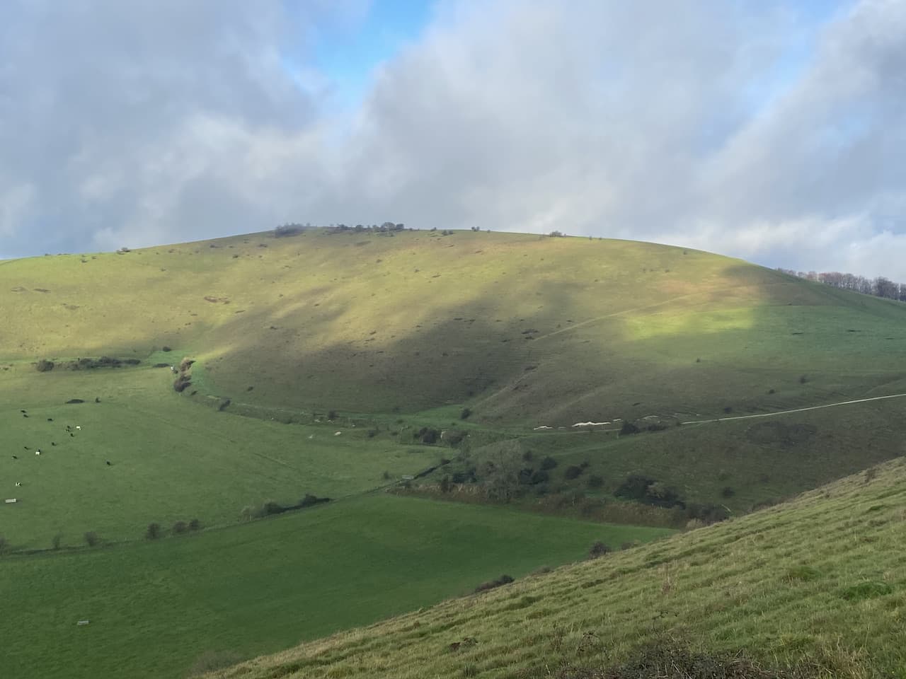
    After going through a gate we veer to the left to follow a footpath heading north west across Compton Down, towards Melbury Hill there are cracking views as we follow a path that soon  heads uphill.

    The path descends and then has a stiff ascent to the summit of Melbury Hill where we go through a gate and wander across to the Ordnance Survey Trig Pillar which sits 839 feet above sea level.  I bagged this trig last November  but the views on that day were not as splendid as today. 

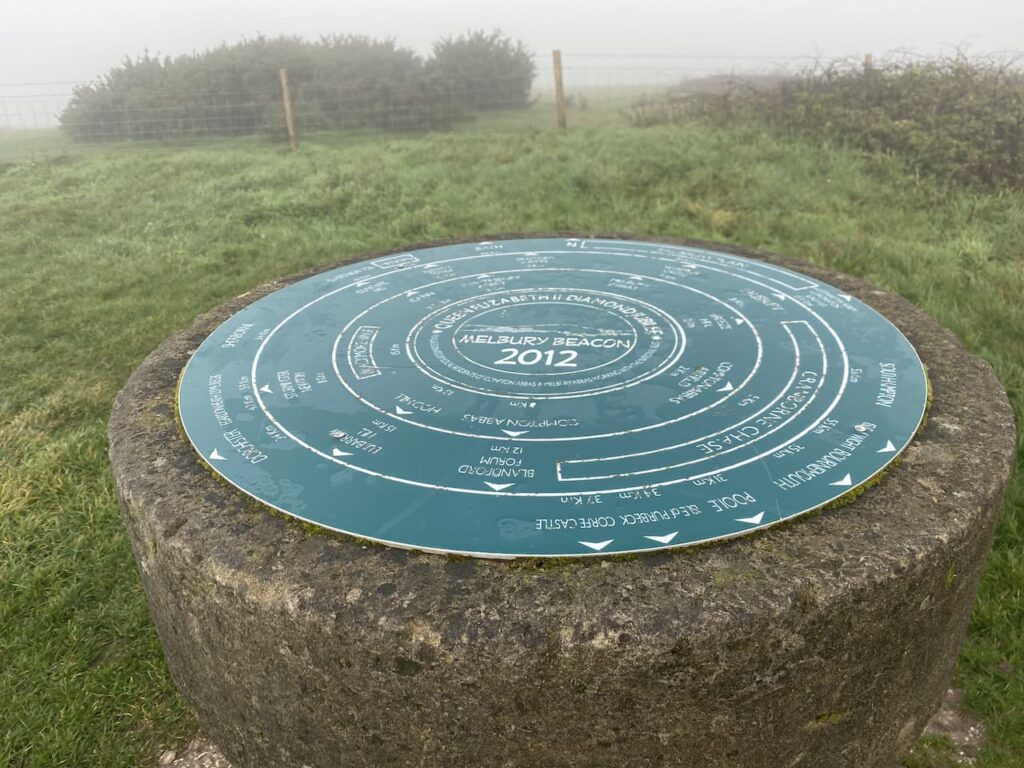
    We stop for a while and pick out points on the horizon with the aid of the toposcope which has been attached to the trig.  

    From the trig point we turn and retrace our route heading downhill to a point where a footpath crosses the access land.  Here we go through a gate taking a path along the top of an area of access land which skirts above a cracking contoured inlet.

    The path leads to a track where we turn left and walk uphill to the car park from where we started our walk.  So far we have completed two and a half miles, but there are still a few more to do.  From the car park we go through a gate and follow a fence lined path heading south to reach the Fontmell Down Nature Reserve.

    We ignore a footpath on the left and continue on to reach a junction of paths.  Here we do not go through the gate but cross a stile on the left to walk through a copse, on reaching a road we cross and enter Fontmell Woods.

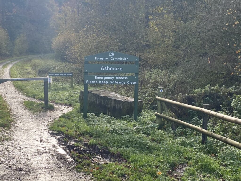
    At a junction of paths we turn right and head along the edge of the woods to reach a minor road where we turn left and then almost immediately right at a wide entrance to Forestry Commission land at Ashmore Wood and follow the forestry track into the woods.

    The track goes through Stubhampton Bottom and we stay with the track until we reach a crossing of footpaths near Hanging Coppice, here we turn left joining the Wessex Ridgeway and follow this path steadily uphill along the edge of the woods with fields to our right.

    We stay with the path, ignoring a turning on the left where the Wessex Ridgeway goes to the north and soon pass a gateway to Ashmore Bottom.  Our route continues along the edge of the woodland and then the path heads east to reach a minor road at Tollard Green.

    We cross the road and follow a minor road towards Tollard Royal.  We pass Tollard Park Farm and then continue into the village to arrive at the church of St Peter ad Vincula which dates from 1291.  I have no religious interest in churches. But do find them interesting from a historical and architectural perspective.  The interior of this one contains an intricately carved 14th century tomb to a knight, Sir William Payne.

    From the church we continue through the village a short distance to reach a junction.  Here we cross the road and pass the village pond along a track and soon fork left to head through a gate and pick up The Wessex Ridgeway path going below an escarpment.

    On reaching a gate we take a path on the right that follows an estate track, part of the Rushmore Estate, and continue on the Wessex Ridgeway through Ashcombe Bottom. 

    The track divides as it nears Ashcombe House with the footpath following the left fork.  Over the years Ashcombe House has had some interesting residents, back in 1930 the photographer and designer Cecil Beaton leased the property for fifteen years, apparently part of the lease was that he restored the building.  More recently it has been the home of Madonna and Guy Ritchie with Ritchie retaining the property after they divorced.

    Staying on the Wessex Ridgeway path we enter woods before taking a left turn to head steadily up through woodland.

    Emerging from the trees we continue uphill on access land.  This is a stiff ascent on a hot day so we stop occasionally to admire the view behind us.

    After going through a gate we head across the access land to the Ordnance Survey trig pillar on Win Green, this is another trig I have previously visited. It stands 909 feet above sea level and is the highest point on Cranborne Chase and the views from up here are extensive, on a clear day you can see Salisbury, the Quantock Hills, Glastonbury Tor, the Isle of Wight and Bournemouth.

    From the trig we head to the National Trust car park and then follow the driveway to reach a road where we turn left and then at a crossroads take the road signposted towards Blandford.  We soon reach a path onto the access land of Melbury Down.  

    We have a brief discussion about taking this route, but the general consensus is that if we go downhill here we will have to head back uphill at some point to reach the car park and as it’s a very hot afternoon this is not a good option.  So we walk besides the road until we reach the entrance to Compton Abbas Airfield.  Here we stop and get an ice cream from a kiosk.

    It was from this airfield that Asil Nadir fled the UK in 1993 following the collapse of his company Polly Peck and an investigation by the Serious Fraud Office.  He was a fugitive until 2010 and then was tried and convicted and given ten years imprisonment for false accounting and theft totalling £32 million.

    From the airfield we rejoin the road and continue along it and then turn right to reach our starting point in the Spread Eagle car park.  Our walk has covered just over 15-miles with two good ascents, which since heading up Win Green Gary has been reminding us is one more than he signed up for at the start of the walk!

    You can view this 15-mile walk on OS Maps and download the GPX File Here

    To follow our walk you will need Ordnance Survey Outdoor Explorer Map OL118 Shaftesbury & Cranborne Chase

    22nd July 2021

    © Two Dogs and an Awning (2021)

    All information on this site is provided free of charge and in good faith and no liability is accepted in respect of damage, loss or injury which might result from it.  To the best of my knowledge the routes are entirely on public rights of way or within areas that are open for public access.
    Walking can be hazardous and is done entirely at your own risk.  It is your responsibility to check your route and navigate using a map and compass

  • Hod Hill and Hambledon Hill

    Hod Hill and Hambledon Hill

    Today I am walking in a part of Dorset I have not previously explored and I am joined by my walking buddy Nigel.  The Covid 19 restrictions mean this is the first time we have been able to walk together this year, so we have planned a lengthy walk to allow plenty of time for us to catch up. 

    The starting point for our walk is the Okeford Hill car park to the south of Okeford Fitzpaine (Grid Ref ST812093).  We head out through the car park entrance and turn right beside the road for a short distance and then cross to take a footpath leading along a track which is part of the Wessex Ridgeway.

    Reaching an area of woodland we fork right, leaving the Wessex Ridgeway to continue along the edge of the woodland with trees to our left.  

    We stay with this path, ignoring paths off to the left and right, to woodland at Bonsley Common and join a section of the St Edward’s Way, which is a thirty-mile route from Wareham to Shaftesbury Abbey.  The route is said to follow the journey that St Edward the Martyr’s remains were taken on after his murder at Corfe Castle in 972 to burial at Shaftesbury Abbey. 

    This is very pleasant walking on a spring morning as we continue along the Bluebell lined track.  

    We continue on the route of the St Edward’s Way as it leaves the trees and continues besides fields to reach a crossing of paths.  Here we turn left, leaving the St Edwards Way, and head towards Shepherd’s Corner Farm.  The track leads through the farm buildings and we spot an old bit of equipment, but are unsure of its use.  It looks like a pump of some sort but later research is unable to identify its purpose.

    Continuing along the lane we ignore a couple of footpaths off to the left and then pass some interesting low barns, again the purpose of these baffles us.

    We stay with the lane until just after a converted barn where we take a footpath on the right going through a gate and across a pasture field towards Sutcombe Woods.

    The path leads through the trees and then across fields of pasture as we steadily descend toward Durweston. 

    Entering the village we turn right along a lane and then turn left into Milton Lane and descend to cross the A357.  We continue along Water Lane and then just before the houses end we go left on a path leading to Mill Lane where we turn right to pass the mill and reach the River Stour and the mill pond.

    We have now joined the route of the Stour Valley Way, a long distance path covering 62 miles along the River Stour from its source at Stourhead to the sea at Hengistbury Head near Christchurch.  After crossing a disused railway line we fork left, still on the Stour Valley Way to follow a path across fields towards the Holy Trinity Church in Stourpaine.

    After passing the church we continue through the village on the route of the Stour Valley Way which follows Manor Road as it heads north and then leaves the village via a footpath running besides the River Iwerne.

    At a fork in the footpath we go left, keeping on the Stour Valley Way as it leaves the river and ascends on a track heading towards Hod Hill.  After going through a gate we go through the ramparts of the Iron Age Hill Fort on Hod Hill.

    We continue over the plateau of the hill, which is covered in Cowslips, I can’t recall seeing so many in one place since I was a nipper.  On top of this hill the Romans also established a camp around AD50.  The far ranging views make it clear why this was a popular spot for an encampment.

    There are a network of paths on the access land covering Hod Hill, but we stay with the route of the Stour Valley Way across the plateau and through the location of the Roman Fort. We then descend to reach Keeper’s Lodge where we cross a minor road and take the Stour Valley Way path to head up Hambledon Hill. This is a steep ascent so taking a stop to admire the view back to Hod Hill provides a welcome chance to get our breath back.

    We continue uphill and pass Hambledon Plantation and then at a junction of paths besides a barn we turn left and follow the Stour Valley Way as it continues to steadily ascend towards the summit of Hambledon Hill.  There are extensive views with Cranborne Chase to our right.

    The path takes us along the ridge to reach the Hambledon Hill Trig Pillar, this is the 243rd I have bagged.

    The trig stands on a small Neolithic camp which is linked by a causeway to a much larger Neolithic Hill Fort.

    Rather than go over the top of the fort we follow a clear path which heads to the right following a rampart.

    When the path on the rampart meets the Stour Valley Way, which went over the top of the hill, we turn right and descend on a steep path towards a tree lined path.  As we go down there are cracking views across the Vale of Blackmore.

    We continue along the path to reach a minor road where we turn left and walk into Child Okeford.  In the middle of the village we turn left opposite the Bakers Arms and pass the War Memorial to reach St Nicholas’ Church. We stop here on a bench for lunch.  This church was built in 1878 and replaced a medieval church dating back to around 1250-70

    We leave the church through the main entrance to pass the War Memorial and Bakers Arms.  Apparently the pub dates back to 1754 and has been known as the Bakers Arms since 1821.

    We turn left along the road and then just before the Post Office turn right into Haywards Lane and follow this until we reach a junction of three footpaths on the right just before a turning into a residential road called Greenway Lane.  We take a fence lined footpath heading west towards the River Stour, confusingly the map has this lane marked as Greenway Lane.  As the path nears the river we turn right and follow a fence line to a clear path on the left heading towards a footbridge over the Stour.

    We now head across fields following the footpath over Bere Marsh. On reaching a road we cross besides a railway bridge and join the route of the North Dorset Trailway, this is a 14 mile route from Sturminster Newton to Spetsbury.  The route mainly follows the old track bed of the disused Somerset and Bristol Railway.  This line once linked Bath to Bournemouth and was opened in 1863 and connected the English Channel to the Bristol Channel, it operated until falling victim of the Beeching Cuts in 1966.

    We soon reach Shillingstone Station which has an array of locomotives and a cafe which I am sure in normal circumstances would be busy but appears closed today, we assume because of Covid restrictions.  

    Tucked behind the railway carriage cafe is the canopy for the station.  Apparently this was erected in 1899 especially for the Prince of Wales, the future King Edward VII, who was visiting Lord Wolverton’s nearby estate for a shooting party. There was concern that without the canopy some precipitation might fall on his regal head.  There is no report about how he was protected from the elements whilst out shooting.

    Our route is now along the Trailway until we reach a point where the Wessex Ridgeway passes under the Trailway.  We take a path down to the Wessex Ridgeway and then turn right to soon cross the A357, Blandford Road.  Joining the footpath on the far side of the road we head across a field to reach a lane where we turn right and soon turn left at a junction.

    On reaching woodland we take a path that steadily ascends through the trees on the route of the Wessex Ridgeway.  At a junction of tracks we stay with the Wessex Ridgeway and are soon walking on the edge of the woods.  At a path junction we turn left to take a brief diversion to bag the Trig Pillar on Shillingstone Hill.

    With my 244th trig safely in the bag we return to the Wessex Ridgeway and turn left and keep to the edge of the woodland to reach a junction of paths where we turn right to join the path we started our walk on.  From here we walk back to our starting point in the Okeford Hill car park.

    Our walk has covered just over twelve miles and has had over 1,400 feet of ascent.  So a good walk made better by the opportunity to catch up with Nigel.

    You can view this 12.25 mile walk on OS Maps and download the GPX File Here

    To follow this walk you will need Ordnance Survey Outdoor Leisure Maps OS 117 – Cerne Abbas & Bere Regis, OS118 Shaftesbury & Cranborne Chase, and OS129 Yeovil & Sherborne

    5th May 2021

    © Two Dogs and an Awning (2021)

    All information on this site is provided free of charge and in good faith and no liability is accepted in respect of damage, loss or injury which might result from it.  To the best of my knowledge the routes are entirely on public rights of way or within areas that are open for public access.
    Walking can be hazardous and is done entirely at your own risk.  It is your responsibility to check your route and navigate using a map and compass.

  • Visiting Pentridge and Martin

    Visiting Pentridge and Martin

    Today Lynnie and are walking with our friends Wendy and Gary who we have known since they moved into the village just over a year ago.  In normal circumstances I am sure we would have done a fair bit of socialising with them, but this year has been anything but normal.  So apart from the occasional drink in the garden during the summer and a weekly videocall call we have not seen a lot of them.  So it will be good to get out for a few hours and have a chat and try to put the world to rights.

    Even though we live in the same village we travel separately to the car park on Martin Down Nature Reserve besides the A354.  The weather forecast suggested there would be early morning rain, but a good chance the rest of the day would be dry and chilly.  So arriving at the car park we layer up and boots on we head off.

    We start from the southern end of the car park, passing a metal barrier beside some information boards. Initially the path heads through shrub, but then opens out onto the vast expanse of the nature reserve, there are over 850 acres of protected land here providing a haven for flora and fauna.  

    We follow the track towards the dominant rifle range butt in front of us.  This area of the downs was used as a military rifle range up until the 1950’s and evidence of this is strewn across it. Before reaching the butt we take a path on the right to head across towards the Bokerley Dyke.  This ditch is thought to have been built during the iron age and fortified in the 5th century.  It runs for around 3.5 miles and is an impressive structure.

    At the dyke we pass through to reach the fence-line of a field. Entering the field we take a footpath on the right and continue along the edge of the field with the fence to our right.  The path follows around the edge of the field and we are soon heading south with a hedge line on our right. 

    At a junction of paths we continue straight on to reach a gate besides a crossing of paths.  Here we continue along a hedge lined path still heading south towards Pentridge.

    As the path reaches farm buildings it becomes a tarmac lane, Earthpits Lane, and we stay with this to walk into the village.  At a sign for the church we turn right and wander up to visit the fine church of St Rumbold which apparently was rebuilt in 1855 in a 14th century style.

    From the church we head back to Earthpits Lane and turn right for thirty yards to take a footpath on the left leading up a driveway before heading left across grass to a narrow path besides a fence.  It is a gradual ascent to a stile leading into a pasture field.  The path continues by the fence line and then as the fence turns to the right we continue straight on towards a stile.  From here there are cracking views.

    After crossing the stile we continue up Penbury Knoll and visit the Ordnance Survey trig pillar.  I have visited this trig on a number of occasions but it is always worth a re-visit.

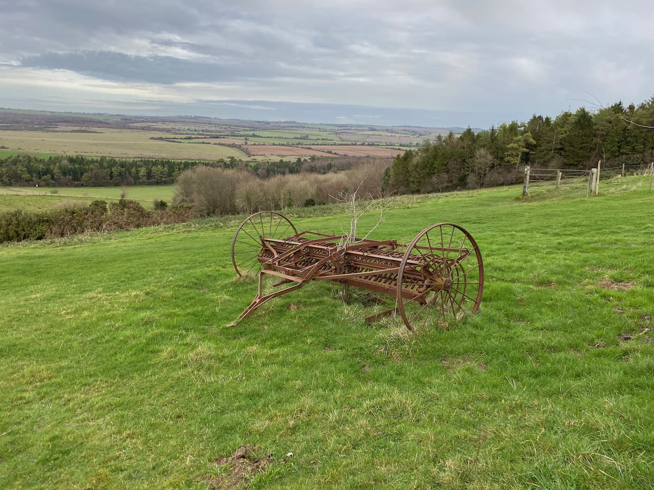
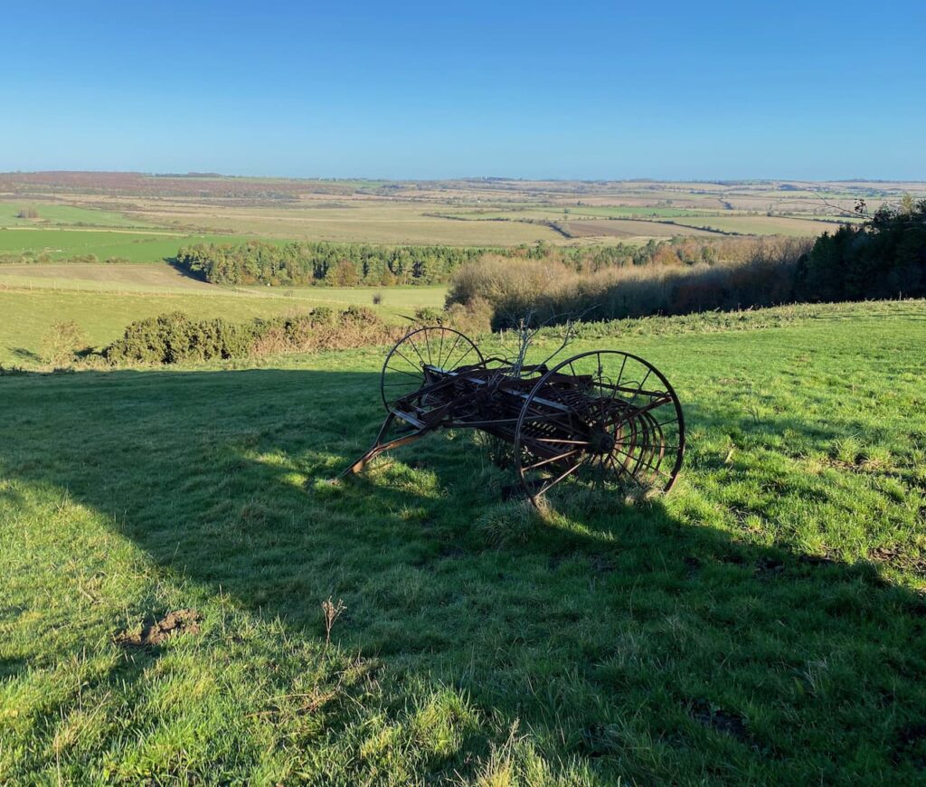
    From the trig we head north east on a track across the access land.  This track follows a fence to our right and we stay with it as the fence turns to the north.  At an abandoned old hay rake we turn to the right and go through a gate.

    We now follow a path along the edge of an arable field and then pass Blagdon Plantation.  On reaching a track we turn right and then take the second footpath on the left to head along the side of attractive woodland.

    The footpath reaches Martin Down and crosses the Bokerley Ditch.

    Now we follow a path that runs besides a Grim’s Ditch.  This is a common name for earthworks of this type which are found across chalk downland in southern England.  Their purpose is unclear, too small to act as military defences it is thought that they marked territorial boundaries in the Iron Age.

    We follow the ditch to reach a footpath where we turn left and head north along a track, this starts to descend with views towards the village of Martin in front of us. 

    We stay with the track as it leads to the edge of Martin Down and then continue along a hedge lined track leading towards Martin.  In the village we turn left and walk along the road, Martin Drove End, until we reach a sign towards the church.  Here we turn and wander up to see if we can locate the Ordnance Survey benchmark on All Saints Church.

    Apparently parts of this church date back to 12th century, with the tower being built in the 13th century and then late in the 18th century a spire was added.

    From the church we head back to Martin Drove End and turn right soon reaching a village green with an old pump above a covered well.  

    Also on the Green there is a millennium cross showing it is 37.5 miles to Glastonbury.  Apparently the significance of this is that back in 945 Edmund, King of Mercia bestowed the Damerham and Martin Estate to his wife Ethelfled on the condition that she should leave it to the “ancient church of the blessed Mary in the monastery of Glastonberi”, the Abbot of Glastonbury held a manor which included the village for many centuries. Close to the millennium stone is the base of the old market cross the history of which appears hard to determine.  But it is thought to date from the 5th century.

    From the green we head west along Sillens Lane to leave the village.  This road leads to a car park on the edge of Martin Down.  Here we keep heading west across the downs until we reach a junction of paths besides a Grim’s Ditch.  Here we follow a clear track heading northwest towards the rifle butts. 

    After passing the rifle butt we continue along the track to reach our starting point in the car park.  Our walk has covered almost eight miles.  The weather has been fine and not as cold as forecast and it has been great to get out and catch up after the recent Covid-19 lockdown.

    You can view this 8 mile walk on OS Maps and download the GPX File Here

    To follow this walk you will need Ordnance Survey Explorer Map OL130

    4th December 2020

    © Two Dogs and an Awning (2020)

    All information on this site is provided free of charge and in good faith and no liability is accepted in respect of damage, loss or injury which might result from it.  To the best of my knowledge the routes are entirely on public rights of way or within areas that are open for public access.
    Walking can be hazardous and is done entirely at your own risk.  It is your responsibility to check your route and navigate using a map and compass.
  • Melbury Beacon and Ashmore

    Melbury Beacon and Ashmore

    There are not many positives coming from the Covid-19 pandemic, but one is that I have done a lot more walking closer to home.  In normal circumstances Lynnie and I travel a lot in the caravan, usually spending about one hundred and fifty nights a year away.  However in 2020 our travel has been restricted to just sixty nights and given the Covid situation we are currently not planning any travelling in 2021.

    Today I am meeting up with my walking buddy Nigel, from New Forest Navigation.  The starting point for our walk is the National Trust Spread Eagle Hill car park (Grid Ref ST886187).  From the car park we go through a gate and head north across a field.  There are stunning views and it looks like we are going to be in for a cracking day.

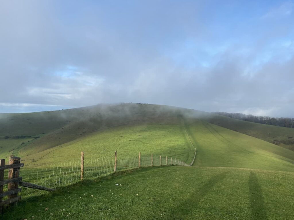
    After going through a gate we veer to the left to follow a footpath heading north west across Compton Down towards Melbury Hill which is currently shrouded in low cloud.

    The path descends and then has a stiff ascent to the summit of Melbury Hill where we go through a gate and wander across to the Ordnance Survey Trig Pillar which sits 839 feet above sea level.  This is the 230th trig pillar I have bagged. 

    Since we started walking together I have been trying to get Nigel to share my enthusiasm for trigs, it is a slow process, but I will persist and I am sure that sooner or later he will get the bug.  On top of this trig is a Toposcope.  I always find these interesting features, unfortunately the visibility is poor today so we cannot see any of the points in the distance.

    From the trig point we turn and retrace our route heading downhill to a point where a footpath crosses the access land.  Here we go through a gate and take a path along the top of an area of access land which skirts the top of a cracking contoured inlet.

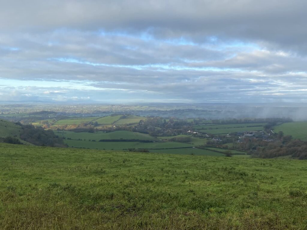
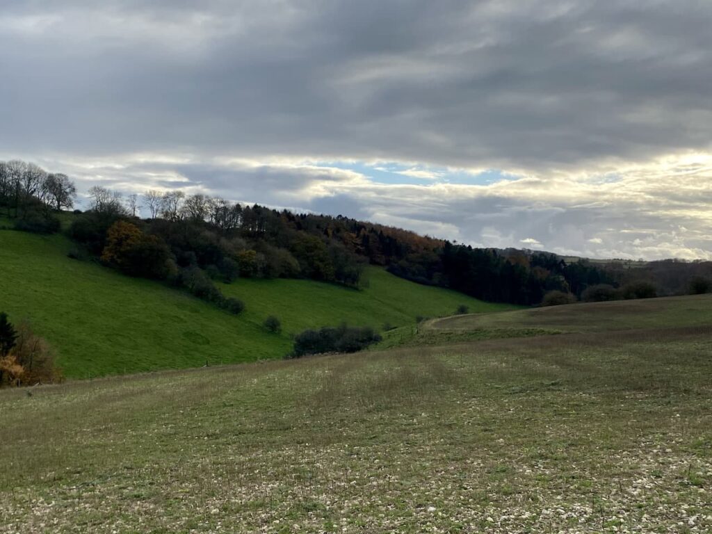
    As we walk the cloud starts to clear and we get good views across the Blackmore Vale.

    The path leads us to a track where we turn left and walk uphill to the car park from where we started our walk.  So far we have completed two and a half miles, but there are still a few more to do.  From the car park we go through a gate and follow a fence lined path heading south to reach the Fontmell Down Nature Reserve.

    This nature reserve is owned by Dorset Wildlife Trust and covers 155 acres of land.  It is a stunning area to walk.  Our route soon leads through a belt of trees heading towards a minor road.

    on reaching the road there is an option to turn left to follow the road a short distance to a junction.  This would cut a corner from our walk but would also mean missing out on another trig point so we turn right and follow the road downhill to reach a footpath on the left which leads off a small parking area.  This path heads west and after passing through bushes soon reaches a field with fine views across the valley.

    On reaching a junction with a path we turn left and follow the path across fields to reach a gate leading to a minor road.  We turn left along the road  and go steadily uphill to reach the summit of Sutton Hill.  Tucked away in the hedgerow on the left is an Ordnance Survey trig pillar, my 231st.  In November this trig is difficult to spot so I would imagine in the Spring and Summer it would be impossible to see.

    At a junction of roads at Sutton Clump we turn left and walk besides the ‘B’ road.  This road is busier than we anticipated and there is a narrow verge so we proceed with care.  Had we not been so keen to visit the trig pillar it would have been a safer option to have turned left earlier and not done this extra little loop.  At a crossroads we turn right and take the road signposted towards Ashmore.  This minor road leads downhill passing Fontwood House to reach a wide entrance to Forestry Commission land at Ashmore Wood.  Here we turn right and follow the forestry track into the woods.

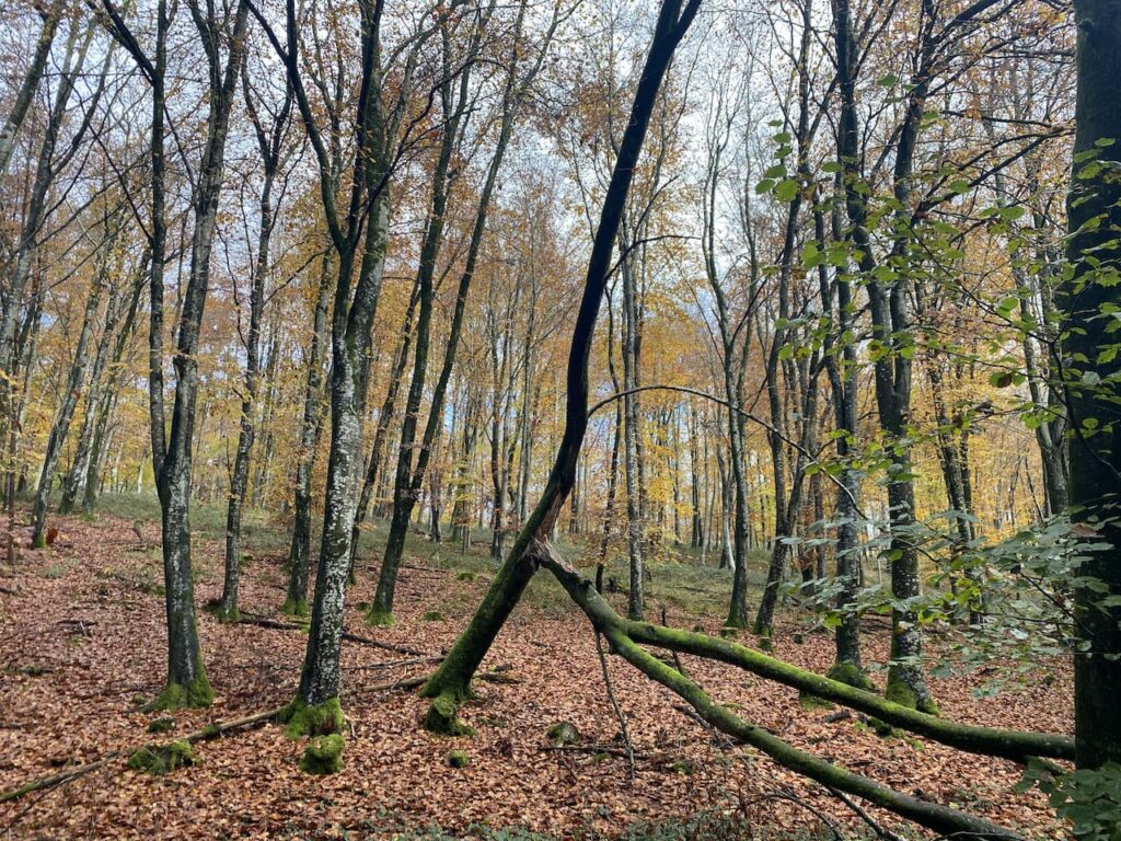
    We follow this track through the trees into Stubhampton Bottom. Late autumn and winter are my favourite times of the year to walk through woods.  At this time of the year it is possible to appreciate the full structure of trees and the ground below them.

    We stay with the track until we reach a crossing of footpaths near to Hanging Coppice, here we turn left to join the Wessex Ridgeway and follow this path steadily uphill along the edge of the woods with fields to our right.

    We stay with the path, ignoring a path on the left where the Wessex Ridgeway turns to the north and then pass a gateway to Ashmore Bottom.  Years ago Lynnie and I walked in this area and until now I had forgotten about it, but I do recall going through Ashmore Bottom and trying to avoid a herd of inquisitive cows.  Our route today stays besides the edge of the woodland and then continues on the path heading east as it follows a track to reach a copse where it turns left and continues on to pass through Wiltshire Copse.  At a footpath sign on the left we follow a fence-lined path towards Ashmore.  

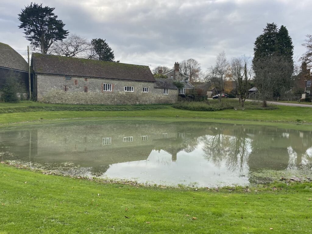
    On reaching a minor road we turn right and walk into Ashmore and past the village pond.  This is a dew pond, which means that it is only fed by rain water.  The village sits on chalk so the pond is lined with clay and would have been created to provide drinking water for local livestock and those being driven through the village along the droves.  Apparently the last time the pond dried out was during Queen Victoria’s Golden Jubilee in 1887.

    Each year locals hold the Filly Loo around the pond.  The event is led by a Green Man and involves dancing and merriment around the pond.  The origins of the event and the meaning of Filly Loo have been lost in time but being held around the time of the summer solstice it is thought to have Pagan influences.  It is therefore ironic that proceeds from the event now go to support the local church and chapel, as well as other local amenities.

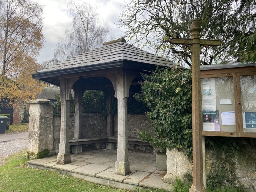
    Besides the pond sits the village bus shelter.  This is a grand affair, but it is not clear if it still serves its original purpose as it is difficult to find details of buses running to the village.

    Close to the pond is the village church of St Nicholas.  There has been a church at this location since medieval times but according to Historic England the current church was built in 1874 by Charles Edwards of Exeter.

    On the church is a very clear Ordnance Survey benchmark.  In recent times I have been “bagging” these marks along with my trig bagging.  There are over half a million in the Country so plenty to keep me occupied for the rest of my days.  Strangely, despite stating he has no interest in these marks, Nigel is quick off the mark to see if he can spot this one first.

    From the churchyard we turn right heading out of the village past Manor Farm and then take a footpath on the right going northwest to Shepherds Bottom Plantation.  Entering another field we follow the path to the right and then turn left to head into the attractive valley of Shepherds Bottom.

    The path goes uphill to pass West Wood.  On reaching a road we cross and then go over a stile onto Compton Abbas Airfield.  The footpath runs diagonally across the grass runway of the airfield, but the warning notices indicate that this might be a bit precarious.

    It was from this airfield that Asil Nadir fled the UK in 1993 following the collapse of his company Polly Peck and an investigation by the Series Fraud Office.  He was a fugitive until 2010 and then was tried and convicted and given ten years imprisonment for false accounting and theft totalling £32 million.  As we head across the runway I keep an eye out for planes taking off and landing, but fortunately we encounter no flights.

    After crossing the runway we go over another stile and then turn left to follow a footpath along the perimeter fence of the airfield.  To our left there are fine views over Melbury.

    On reaching a road we cross and enter a parking area where we turn left and follow the fenced path besides the road heading back to our starting point.  Our walk has covered fourteen miles and throughout we have had cracking views.  I will have to return to Melbury Beacon on a clear day to get the full value and see just how far can be seen from the toposcope.

    You can view this 14 mile walk on OS Maps and download the GPX File Here

    To follow our walk you will need Ordnance Survey Outdoor Explorer Map OL118 Shaftesbury & Cranborne Chase

    10th November 2020

    © Two Dogs and an Awning (2020)

    All information on this site is provided free of charge and in good faith and no liability is accepted in respect of damage, loss or injury which might result from it.  To the best of my knowledge the routes are entirely on public rights of way or within areas that are open for public access.
    Walking can be hazardous and is done entirely at your own risk.  It is your responsibility to check your route and navigate using a map and compass.
  • Martin Down and Sixpenny Handley

    Martin Down and Sixpenny Handley

    I am out again today walking from Martin Down with my friend Nigel from New Forest Navigation.  We have plotted a thirteen mile route that will take us to Pentridge Knoll and then across to Sixpenny Handley.  I have walked to Sixpenny Handley from Martin Down previously, but on that occasions it was an anticlockwise route whereas today we are going clockwise.

    The starting point for our walk is the Martin Down Nature Reserve car park besides the A354 (Grid Ref SU036200). We start our walk from the southern end of the car park and head out passing a metal barrier besides some information boards.  Initially the path heads through some shrub but soon reaches the vast expanse of the 850 acre nature reserve.

    We continue down the track to reach the disused rifle range butt and here turn right on a path that heads a few hundred yards besides the butt to reach the Bokerley Ditch where we turn left .

    This ditch is thought to have been built in the iron age and fortified in the 5th century.  It runs for around 3.5 miles and is an impressive structure.  

    We follow it heading south westerly for almost a mile and a half before turning right at a junction of paths.  This path leads through trees to reach a track where we turn right and within a few hundred yards turn left  at a junction of three paths.   After going through a belt of trees we follow the path besides a field to reach a metal gate onto the access land of Pentridge Down.

    Now we turn to the left and follow a path around the boundary of the access land heading towards Penbury Knoll.

    After passing through a copse on Penbury Knoll we go through a gate and continue along the top of a field to a junction of paths close to a wooden gate.  Here we turn right and head downhill through a field of pasture containing cattle.  They show no interest in us so we pass without incident and then join a track still heading downhill.  We go through a gate to reach a junction of tracks and then turn left to follow a path heading west on the route of the Hardy Way which is a 220-mile route linking locations across Wessex associated with Thomas Hardy.

    The path initially follows a track and then heads uphill across an arable field towards Salisbury Plantation.  At a fork in the track we go right, still on the Hardy Way, heading towards a garage besides the A354.  After crossing the main road we continue on a path which soon heads between fields towards Sixpenny Handley.

    On reaching a minor road we turn left and wander into the village, turning right at a junction and heading up the High Street.  The village website explains that their odd name derives from two medieval hundreds: “Sexpena (meaning Saxon Hill) and Hanlega (high clearing).  Apparently in the 14th century it was known as Sixpenne et Hanle. But later was known as Handley or Handley St Mary.  It was only in the middle of the 19th century that it became known as Sixpenny Handley which is often written as 6D Handley.

    On reaching the church we head through the churchyard to join a footpath heading north across fields towards Dean Lane.

    At Dean Lane we turn left and walk along the country lane to Shermel Gate.  There are a network of paths here, we take a track that goes to the right of a property and leads to a metal barrier.

    This woodland is open access land.  We follow the track past the barrier and continue to a wide crossing of tracks where we turn right and then at the next junction go left on a track through Stonedown Wood.  

    At a junction of footpaths in the north east corner of the woods we go through a gate and head east across a field of pasture on a footpath leading to Middle Chase Farm.  After crossing a minor road we continue along a broad track towards East Chase Farm.  There are stunning views across to Penbury Knoll from here.

    This track leads to a minor road where we continue straight on to reach Cutler’s Corner where we turn right onto a hedge lined track which leads into the woods of Venditch Chase.  The map shows that Kitt’s Grave is located in this area.  On previous visits I have searched for evidence of the grave and with Nigel’s superior navigation skills I hope we might find it today.  But despite finding the grid reference where the grave is said to be we can see no evidence of it on the ground.  

    Local folklore is unclear of the origin of the person buried at Kitt’s Grave, however it is widely thought to be either a young girl or a Romany woman who had taken her own life. Therefore she could not be buried on consecrated ground and with no parish willing to claim her she was buried at the meeting point of three local parish boundaries.  However, it could also be an ancient long barrow, so it is a case of picking whichever tale you prefer.

    Our route now follows a clear path through the woods with a fence line to our left.

    Venditch Chase is littered with long barrows and also has an ancient Grim’s Ditch running through it.  I have walked through it a number of times but have never wandered about in the woods.  I will have to make a point of coming up here one day to explore a bit.  Our route today takes us in a south easterly direction towards the A354.  We emerge from the trees as we near the road and get a cracking view towards Clearbury Ring.

    We cross the A354 to enter the car park where we started our walk.  We have covered 13 miles and despite having walked some of the paths previously it has been interesting and a great opportunity to catch up with Nigel.  It won’t be too many weeks before we are walking together again.

    You can view this 13-mile walk on OS Maps and download the GPX File Here (Subscription to OS Maps Required)

    To follow our walk you will need Ordnance Survey Outdoor Explorer Map OL118 Shaftesbury & Cranborne Chase

    4th November 2020

    © Two Dogs and an Awning (2020)

  • Jamming About from Wyndham Farm

    Jamming About from Wyndham Farm

    I am walking on my own today.  This is our last day at Wyndham Farm and Lynnie has decided a day around the caravan is what she needs.  So Crosby and I are going to have a jamabout from the site. Leaving the site I turn left into Waterloo Lane and follow this towards Silton, passing the Waterloo Mill now an attractive house on the River Stour. 

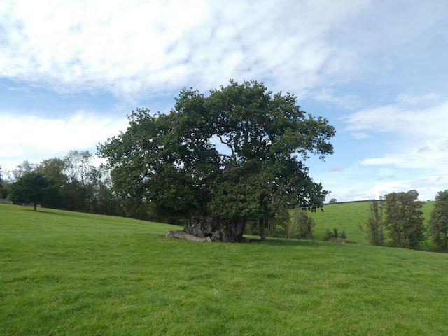
    Soon I take a footpath on the right leading through a kissing gate into a field and follow this to another field home to the impressive Wyndham’s Oak. Apparently over 1,000 years old and one of the greatest trees in the Country. This ancient, gnarled oak was named for Sir Hugh Wyndham (1602 -1684), who lived an eventful life and now rests in the village church.  He is said to have spent many hours sitting in the shade of this wonderful tree.

    I continue across the field towards the church and after going through a gate continue on a path beside the church to reach a road and turn right and walk down the hill through the village.  This is a well spread out village and from passing the last house I walk half a mile to reach the village hall.  This was built in 1886 as a school with an attached cottage for the school mistress.  The school closed in 1926 and the building became the Village Hall.

    On reaching a B road I turn left and pass under the A303 and walk to Bourton and turn right into New Road and soon enter Zeals. Heading through the village I pass a two tiered water fountain,  donated to the village in 1875 by Julia Chafyn Grove.  Apparently it was not until 1938 that water was piped to the village from nearby Mere.

    Further on I pass the War Memorial designed by the parish Rector S H Handcock in 1920 to commemorate the local men lost in World War I.

    On our journey to Wyndham Farm CL a few days ago we passed the almshouses in Zeals. It looked an interesting building so I decide to take a short detour, continuing on New Road to pass the Bell and Crown pub and village hall.  I reach the almshouses which were erected and endowed in 1865 by William Chafyn Grove and dedicated to the memory of his mother.

    From the almshouses I turn around and head back along the road and then take the second turning on the right to enter Portnell’s Lane. I stop to look at the elaborate St Martin’s church, consecrated in 1846, one of the designers was George Gilbert Scott who later designed the Albert Memorial which stands in Kensington Gardens.

    I now follow Portnell’s Lane through the village and it is not long before I am in open countryside.  When the lane bends to the right I continue straight on following a lane signposted to Penselwood.  Heading downhill I reach a junction and continue straight on to pass Row Farm  and then continue past a couple more isolated houses to reach a footpath on the left.  I take the path as it leads downhill to a footbridge over the River Stour.

    Across the bridge I turn right and follow the path besides the river.  This is the path that Lynnie and I walked a few day ago on another walk.  Near a bridge by a ford I take a track on the left and head steadily up Bottle’s Hill.  The area around here is known as Pen Pits because it is littered with ancient iron age quarries.  These were used to acquire Greensand used for quern stones and whetstones.  Quern stones were used for grinding grain and whetstones were used for sharpening tools.  Many of these small quarries have not been filled, on another visit to the area I will look to see if I can locate any.

    Staying on the track I reach a junction of paths and continue on along a tarmac lane to reach Pear Ash Farm.

    I ignore a lane on the left and carry straight on, passing a couple of bungalows and staying with the lane to reach Penselwood.  At a junction in the village I turn left and soon reach the entrance to the 15th century St Michael’s Church.

    Leaving the church I reach a triangle of grass at a junction.  Here I take Great Hill the lane signposted to Wincanton.  This lane descends steadily to become a lane named Underhill, I stay with this until I reach a footpath on the left which leads by the dilapidated Raymond’s Farm.

    The waymarked path heads up through trees to soon reach a field.  I cross and then at a junction of paths keep heading west to enter a field of pasture which I cross, stopping on the way to bag the Ordnance survey trig pillar which is surrounded by sheep.  This is the 219th trig I have bagged.

    The path descends to a lane where I turn right and head downhill to a junction where I turn left.  Still heading downhill past a series of large houses I reach the edge of Bourton.  Here I turn left and follow the pavement into the village.  I now stay with the pavement for just over a mile walking through the village to reach the junction with the B3092. 

    Here I turn right and then in less than a hundred yards turn right again into Silton Lane to pass the Old Chapel. The lane continues past the Doctor’s Surgery and soon becomes a path that reaches the fencing for the A303.  I turn left and then on reaching the B3092 go under the A303 quickly turning right to retrace my outgoing route back into Silton.

    In the village I pass the church and then continue on past Manor Farm and its fine barns.

    Staying with the road I head downhill to the junction with Waterloo Lane where I turn left and head back to Wyndham Farm where Lynnie awaits my return.  My walk has covered nine miles.  Much of it has been on tarmac, but along very quiet country lanes or roads with pavements.

    It is now time to start preparing for our trip home tomorrow.  We have enjoyed our six night stay at Wyndham Farm CL and it will certainly go on the list of those we want to revisit.

    You can view this 9 mile walk on OS Maps and download the GPX File Here

    To follow my walk you will need Ordnance Survey Explorer Maps 129, Yeovil & Sherborne and 142 Shepton Mallet & Mendip Hills East. 

    24th September 2020

    © Two Dogs and an Awning (2020)

    All information on this site is provided free of charge and in good faith and no liability is accepted in respect of damage, loss or injury which might result from it.  To the best of my knowledge the routes are entirely on public rights of way or within areas that are open for public access.
    Walking can be hazardous and is done entirely at your own risk.  It is your responsibility to check your route and navigate using a map and compass.
  • King Alfred’s Tower

    King Alfred’s Tower

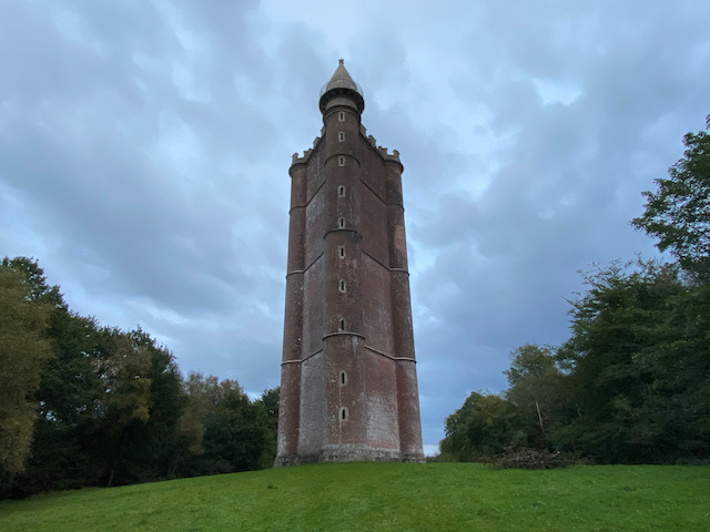
    Prior to setting off on this trip I did a bit of research about interesting places in the locality and came across a striking image of Alfred’s Tower on the Stourhead Estate.  We have previously visited Stourhead to view the magnificent autumnal display of trees, but we have not explored the surrounding woodland or visited Alfred’s Tower.  

    So today we are going to start our walk from the Tower, parking in the National Trust car park (Grid Ref: ST748352).  Leaving the car park we cross the road and take a path heading south.  This soon reaches a clearing with King Alfred’s Tower a few hundred yards away.  

    We decide to postpone visiting the Tower for now as we will pass closer by it on our return to the car.  The footpath we are on follows a track heading south through the trees of the Stourhead Estate.

    There are number of other tracks leading off the track we are on but we stay with the footpath to reach a crossing of paths at a junction with the Macmillan Way.  Here we go straight across and now follow the Macmillan Way to join a tarmac track which then reaches a road fork at Pen Hill.  We take the left fork and continue on this minor road through the trees.  We walked this road a few days ago in the opposite direction, today we head steadily downhill to pass Gasper Farm.

    Staying with the lane we continue downhill to reach the dam across New Lake.  This is a cracking spot.

    Back on 28th June 1917 after a spell of prolonged continuous heavy rain the earth and clay dam collapsed and thousands of gallons of water washed down the River Stour to flood the Bourton Foundry a few miles further down river.  The dam was rebuilt in 1920.

    Continuing along the road to a junction we turn left and pass a telephone kiosk.  Staying with the road we pass a cracking farm with walled gardens.

    Just before reaching the Stourton sign and an arch over the road we turn left to make a short diversion down to visit the Lower Pump House.  An information board explains it was built besides an existing water trough in 1897.  Its purpose was to pump water to the mansion house farms and cottages.

    In 1906 the pump was updated and it then pumped water to a reservoir created near Alfred’s Tower.  The reason for this was a devastating fire in the main house in 1902 when it was decided a reserve supply of water was required to prevent further tragedy.

    In 1921 a new waterwheel was installed below which increased  the water supply to the reservoir and provided the whole estate with water until mains water arrived in the 1960’s.

    Returning to the road we turn left and pass under the stone arch into Stourton.

    Soon on our left is the Bristol High Cross.  This is an interesting monument, with a fascinating history.  Built in 1373 as a market cross it was located in the centre of Bristol to commemorate Edward III granting a charter that recognised Bristol as a county, separate to Gloucestershire and Somerset.

    Three hundred and sixty years later in 1733 it was decided the cross was a hazard to traffic and it was agreed to move it to College Green in front of the cathedral.  The cross was erected there but before long it was considered to obstruct those wishing to promenade around The Green.  In 1780 it was gifted to Henry Hoare for his estate at Stourhead and has remained here ever since.

    We also get an iconic views of Stourhead with it’s Palladian Bridge built in 1762.  Beyond it is a The Pantheon built in 1753/54, it houses a fine collection of marble statues.

    To our right is St Peter’s Church.  It is believed a church stood on this ground as far back as 1291.  In 1717 Henry Hoare purchased the Stourhead Estate, he was the son of Sir Richard Hoare the founder of C.Hoare & Co. Bankers.  Apparently Henry and his father were commissioners for the building of 50 new churches in London and he started the renovation and rebuild of this church in 1722.

    We continue up the road to pass the Spread Eagle Arms an 18th century Inn. On our visit to Stourhead a couple of years ago it was absolutely heaving, now with the Covid rules in place it is much quieter.

    Staying with the road we reach the main gates to Stourhead with a cracking turnstile to their right.

    Going through the arch we follow the driveway towards Stourhead House.  This is the start of the Stour Valley Way a 64 miles long distance trail from Stourhead to Christchurch.  The house was completed in 1725 and took four years to build.  We visited it a few years ago and spent time looking around the collection of art, antiquities and other fascinating artifacts.

    The last Hoare to live here was Henry Hugh Arthur Hoare; he gave the house to the National Trust in 1946.  His only heir was Captain “Harry” Henry Colt Arthur Hoare, who died in November 1917 from wounds he received in the First World War during the Battle of Muhar Ridge, part of the South Palestine Offensive.  On our last visit there were lots of other visitors, but today the pandemic restrictions mean the house is closed to the public.

    Just after passing the house we take a footpath on the left, still on the Stour Valley Way, and cross fields towards the Obelisk that was built in 1839 in memory of Henry Hoare.  This obelisk replaced an earlier version built in 1746.

    We continue on to a junction of paths by a lodge where we turn left to stay on the Stour Valley Way

    The path descends steadily through trees to reach a field which we cross and pass by a pond.

    Now we head uphill through the trees to reach a crossing of tracks.  Here we continue straight on leaving the Stour Valley Way to head west through a pasture field.

    We soon re-enter woodland and continue heading west.  There are lots of tracks leading off, but we stay with the route of the footpath to reach a crossing of paths where we go straight on along the route of the Macmillan Way as it heads north west through the trees.

    The path undulates but continues to gain height.  Nearing a minor road after Hillcombe Hanging we turn right on a forestry track leading uphill and then as the path levels we take a path on the left leading to the clearing in which stands the impressive King Alfred’s Tower.

    This tower was built for Henry Hoare who first conceived the idea in 1762 to commemorate the end of the seven year war with France.  However, the construction was not completed until 1772.  It is an impressive structure and stands at 131 feet tall and 167 feet round.

    At the top is a viewing platform accessed by a 205 step spiral staircase.  In normal times there are days of the year when the tower is open to the public.  I have no head for heights, so even if it was open I would not be tempted to make the climb to the top.

    In 1944 a US Army plane heading to the nearby RAF Zeals airfield crashed into the top of the tower which resulted in the death of the five crew members.  Further restoration work was carried out in 1986, this included repairs to the statue of King Alfred.

    From the Tower we continue across the clearing to join the path where we started our walk, turning left to return to the car park.  Our wander has covered just over seven and a half miles and has been a cracking walk.

    You can view this 7.7 mile walk on OS Maps and download the GPX File Here

    To follow my walk you will need Ordnance Survey Explorer Map 142 Shepton Mallet & Mendip Hills East.

    23rd September 2020

    © Two Dogs and an Awning (2020)

    All information on this site is provided free of charge and in good faith and no liability is accepted in respect of damage, loss or injury which might result from it.  To the best of my knowledge the routes are entirely on public rights of way or within areas that are open for public access.
    Walking can be hazardous and is done entirely at your own risk.  It is your responsibility to check your route and navigate using a map and compass.