Category: South East

  • Aston Rowant Nature Reserve and Turville Heath

    Aston Rowant Nature Reserve and Turville Heath

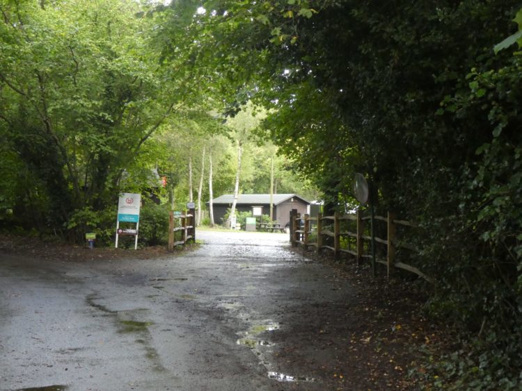
    Each year when I visit Cholsey Grange CL I try to include a walk to Aston Rowant Nature Reserve.  There is the option to drive nearer to the reserve and start from there, but my preference is always to set off from the caravan site.  It is another hot day and I plan to walk over ten miles so I load the rucksack with plenty of water, both Crosby and I will need regular drink stops.

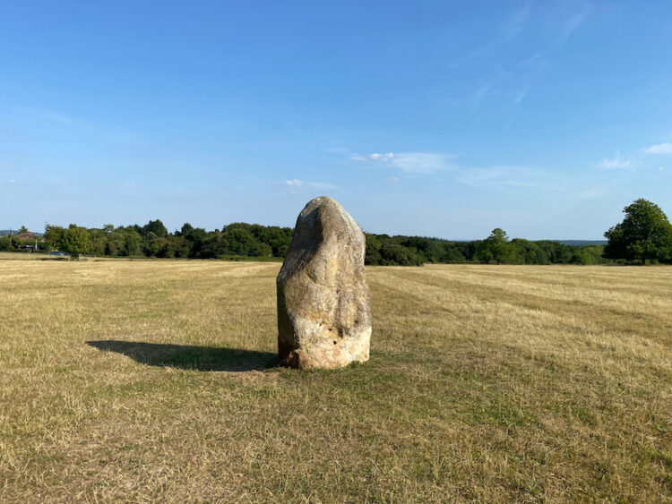
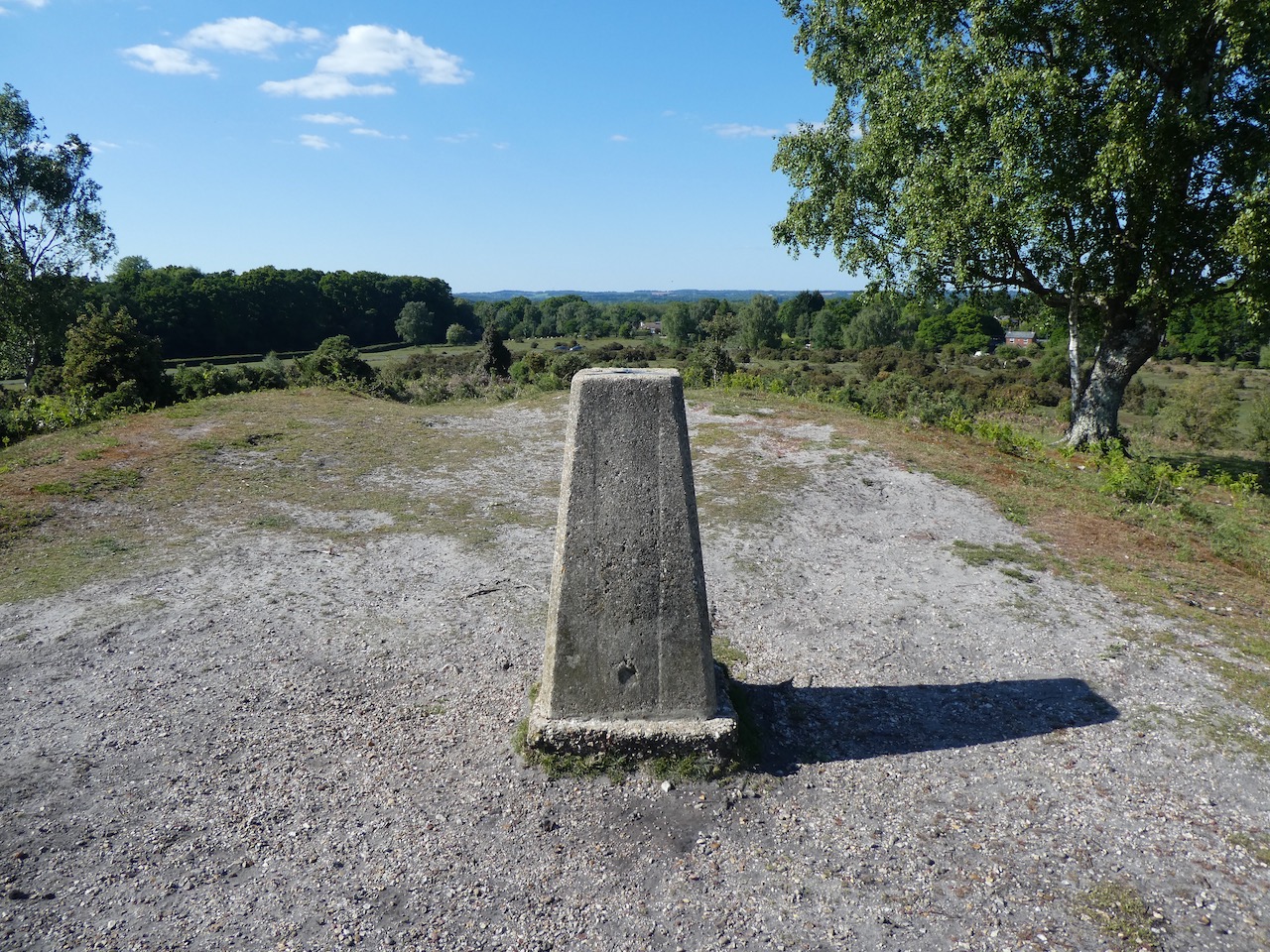
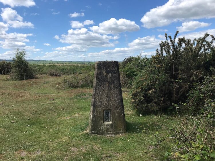
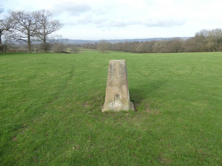
    I leave Cholsey Grange by walking up the farm drive and crossing the road before going over the cricket field and carrying on diagonally across Ibstone Common to pass the standing stone.

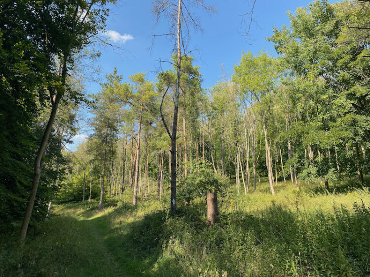
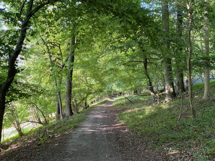
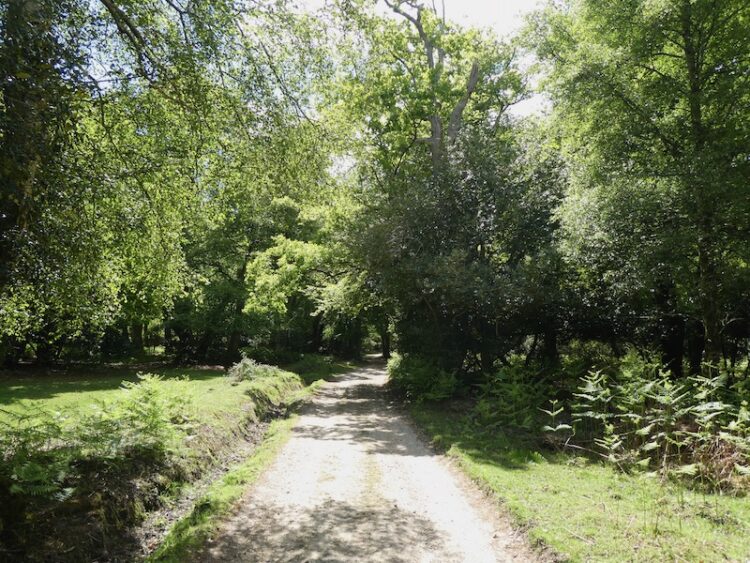
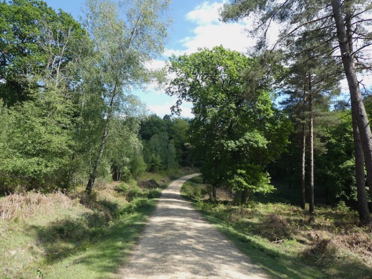
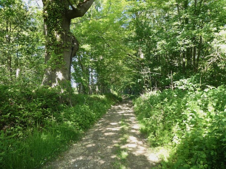
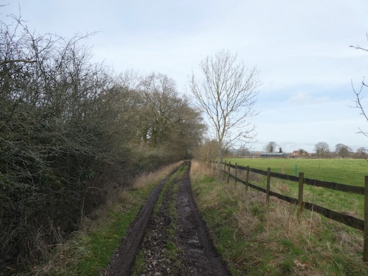
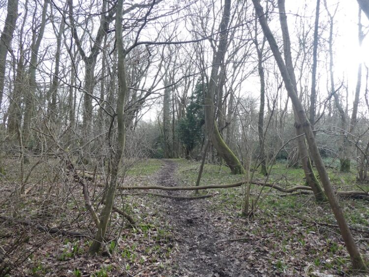
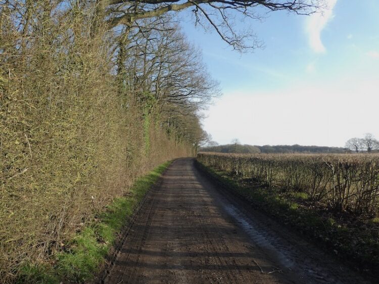
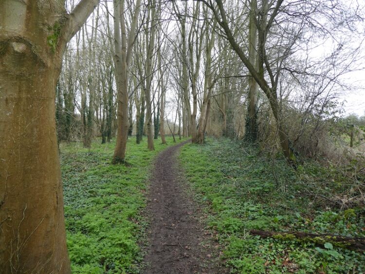
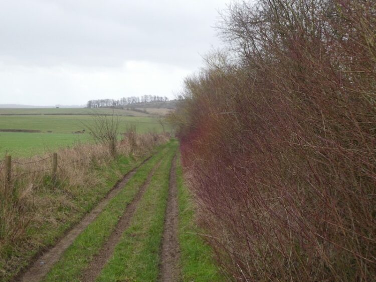
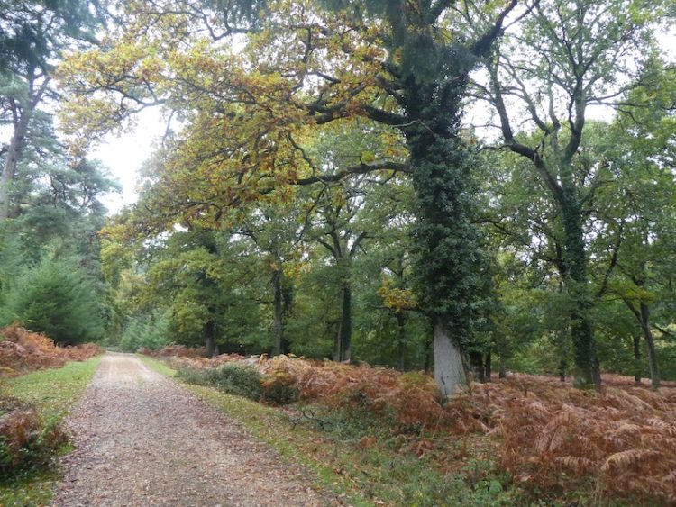
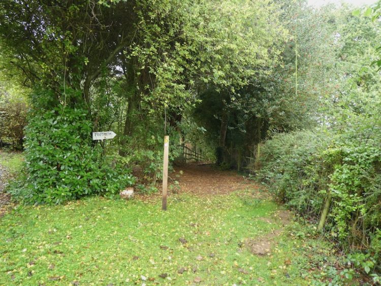
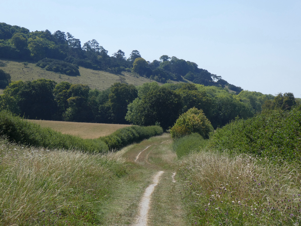
    Continuing across the Common I enter woodland and turn left through a gate to join the Chiltern Way.  The chalky path leads steadily downhill, the Chiltern Way soon heads off to the left but I take the right fork that continues through Commonhill Wood, then into the open with woods to our right. 

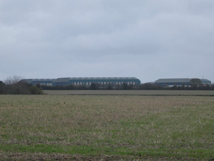
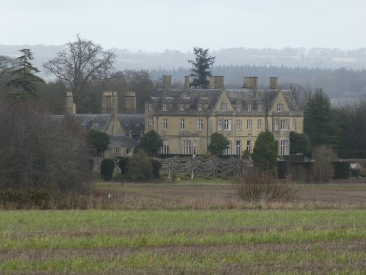
    I join a track that takes me past the entrance to Wormsley Cricket Ground. At a footpath on the left I head around Wellground Farm.

    I then start to climb into Langleygreen Plantation and at a crossing of paths turn left to walk downhill through the trees towards Lower Vicar’s Farm.

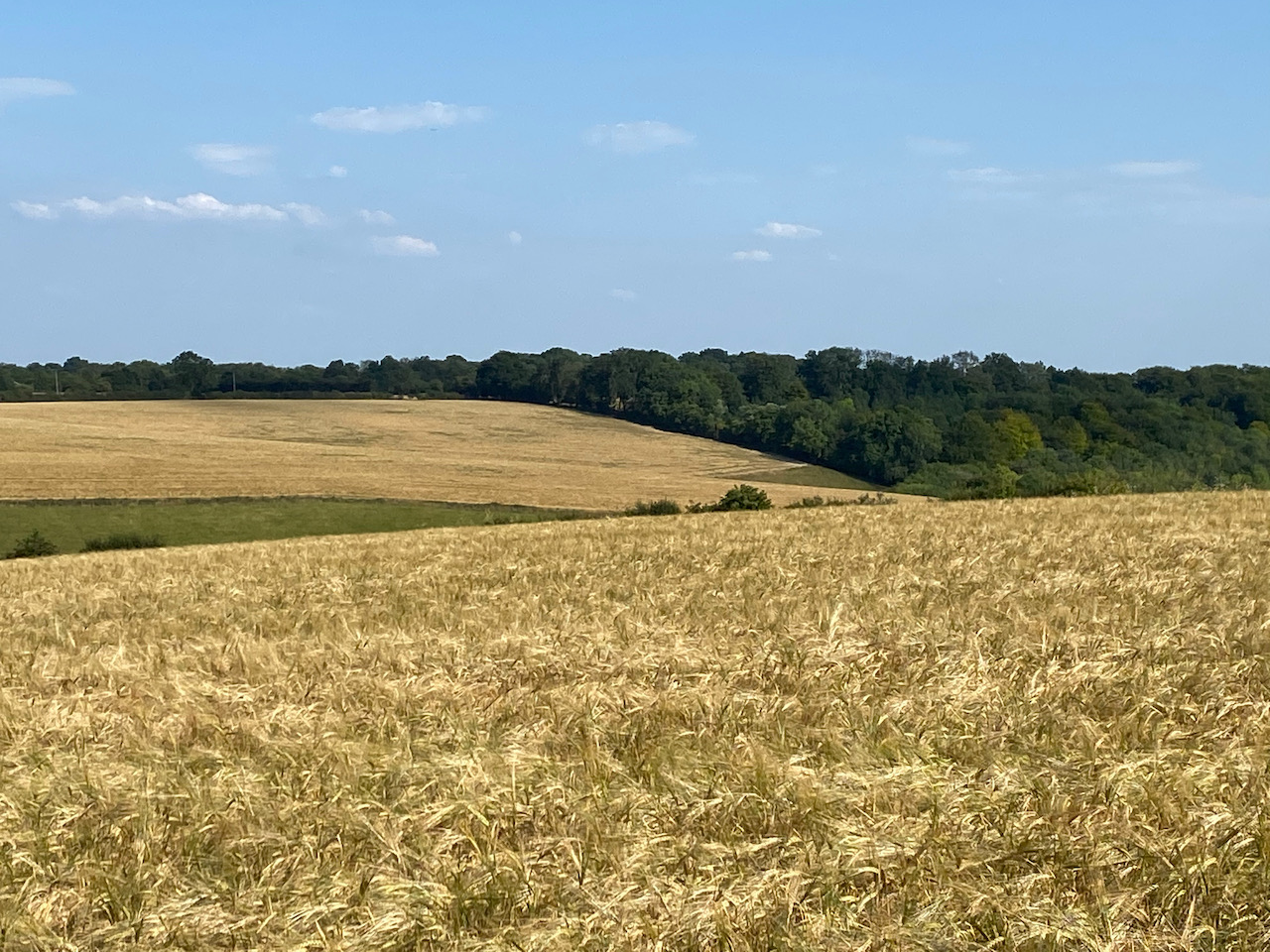
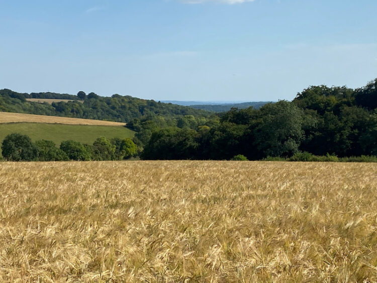
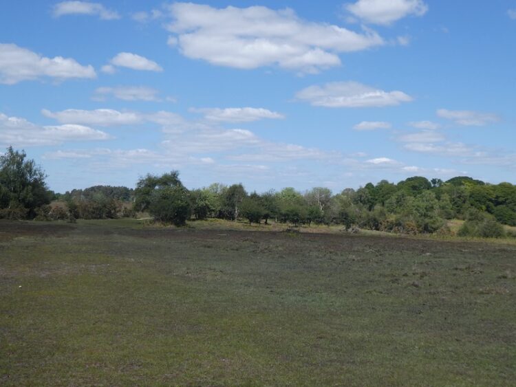
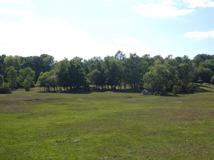
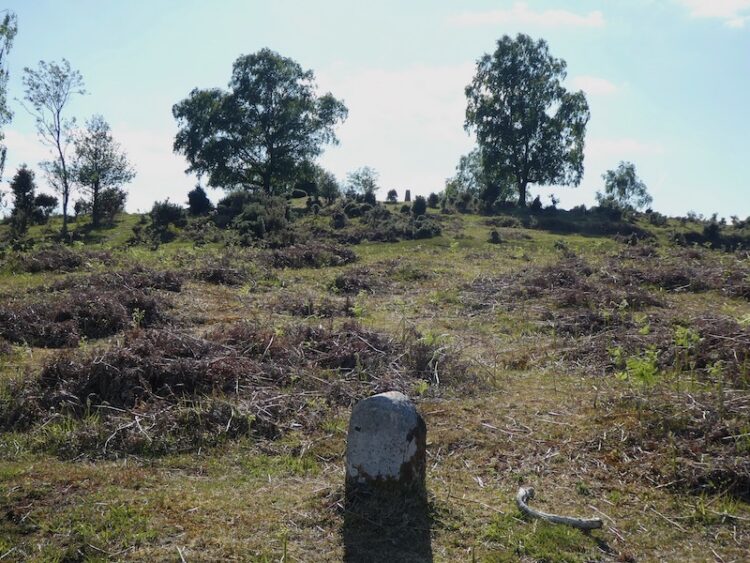
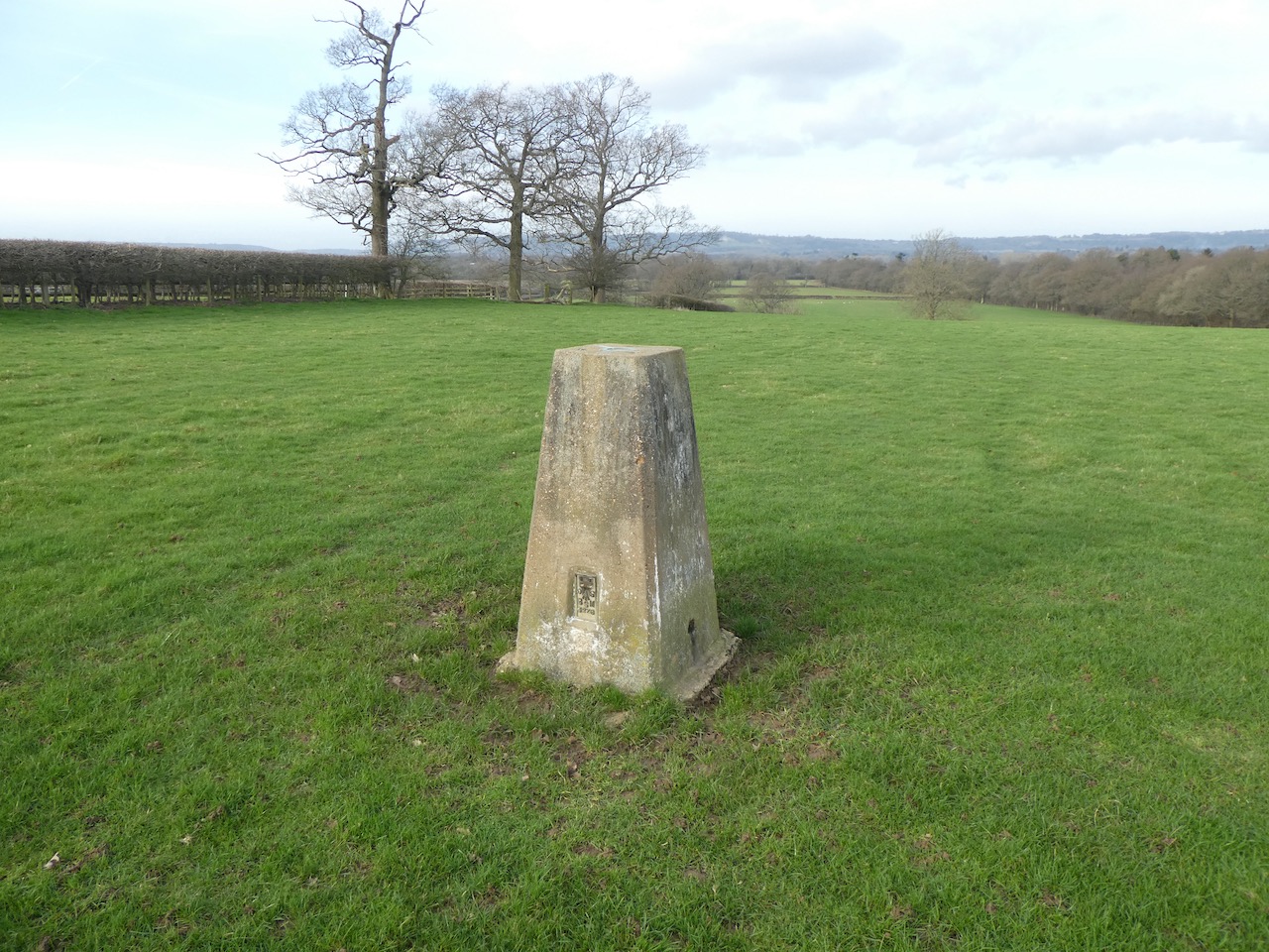
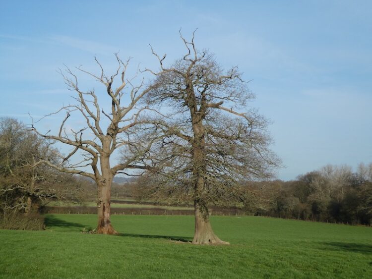
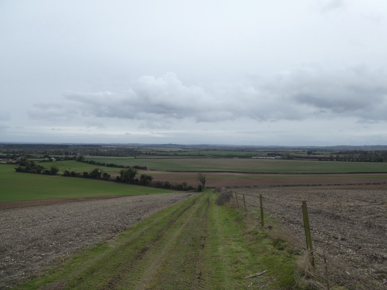
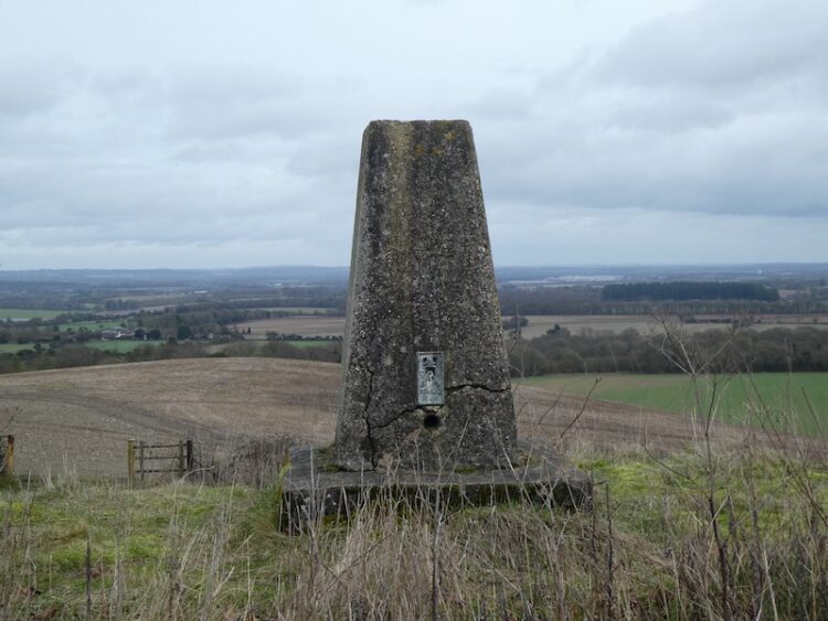
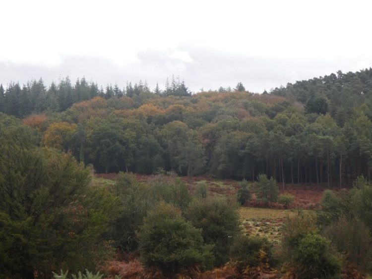
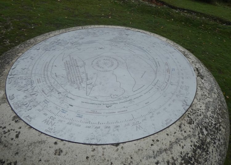
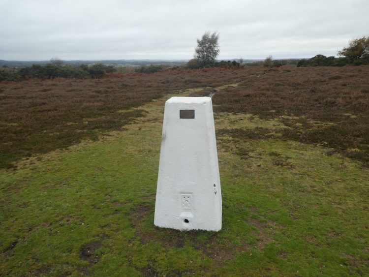
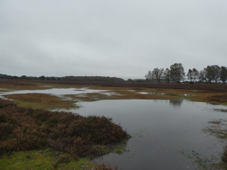
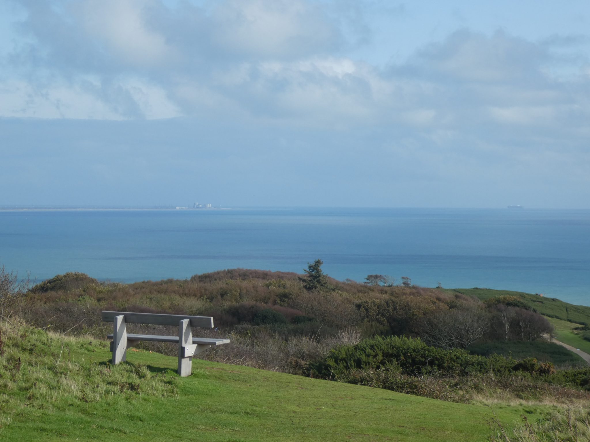
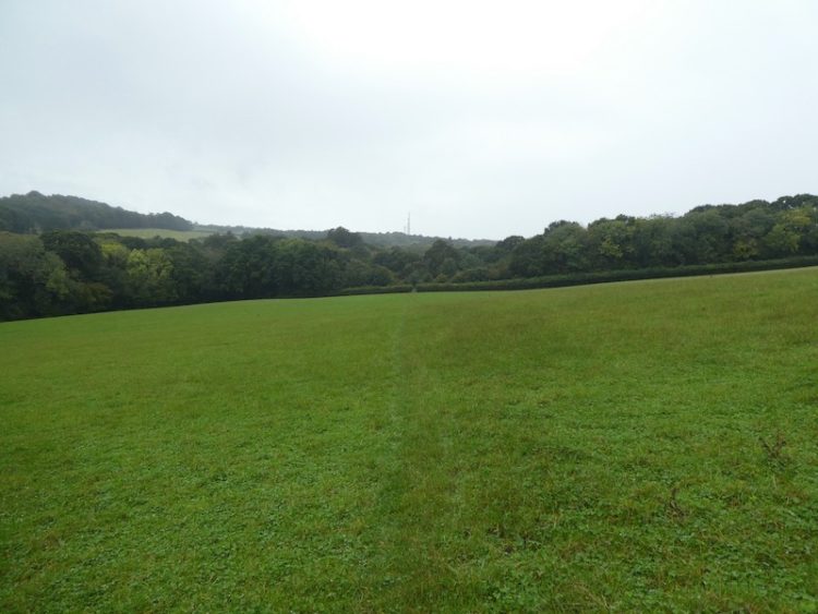
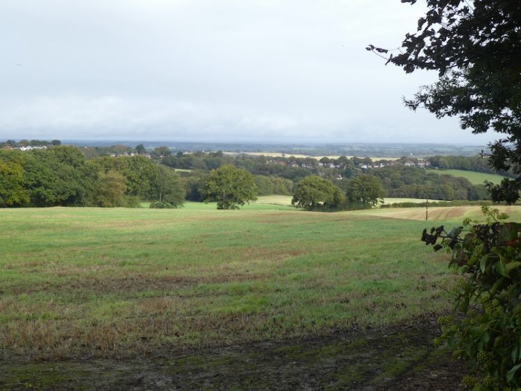
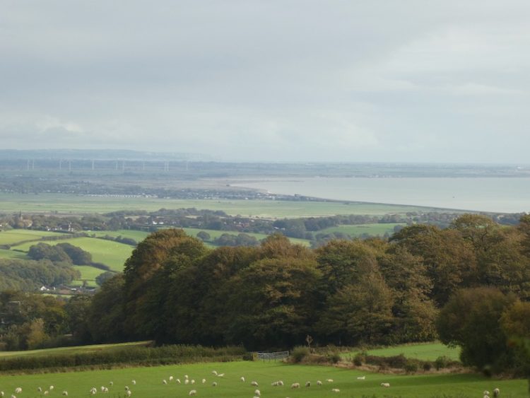
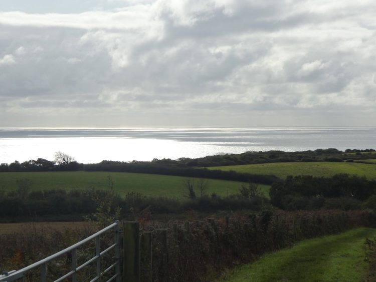
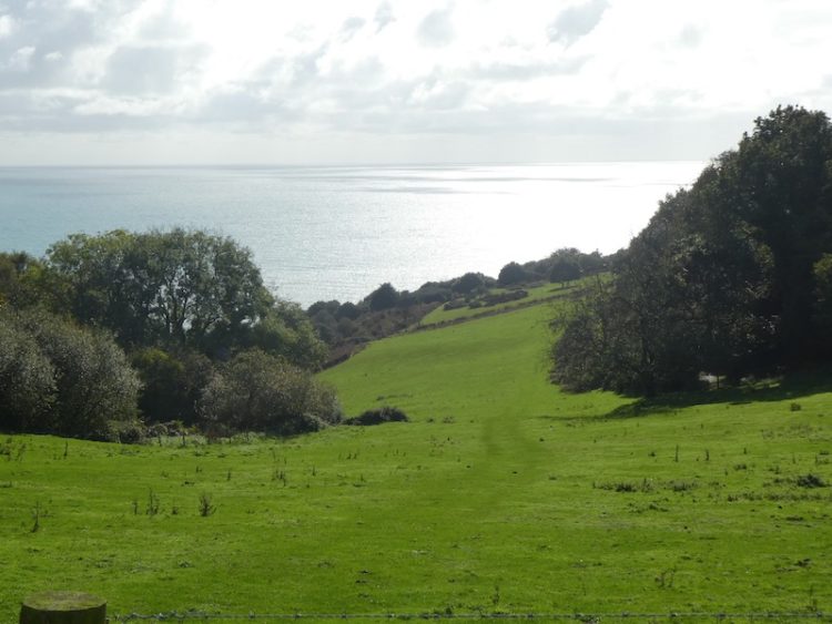
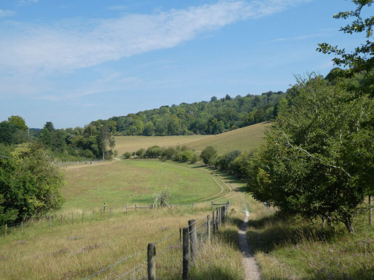
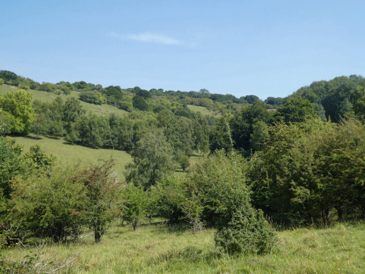
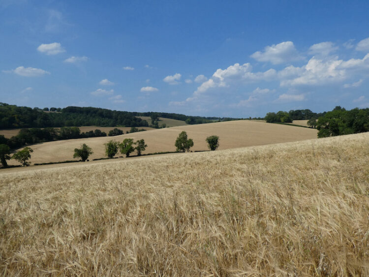
    I reach a paddock and cross this diagonally towards the left and then skirt in front of Lower Vicar’s Farmhouse. On reaching a tarmac lane I turn right and follow this route steadily uphill.  The track passes Upper Vicar’s Farm and then through a metal gate and up to a road that I cross to enter a field opposite.  After crossing this field I am at the top of Aston Rowant National Nature Reserve.  From here there is a cracking view across the valley below.

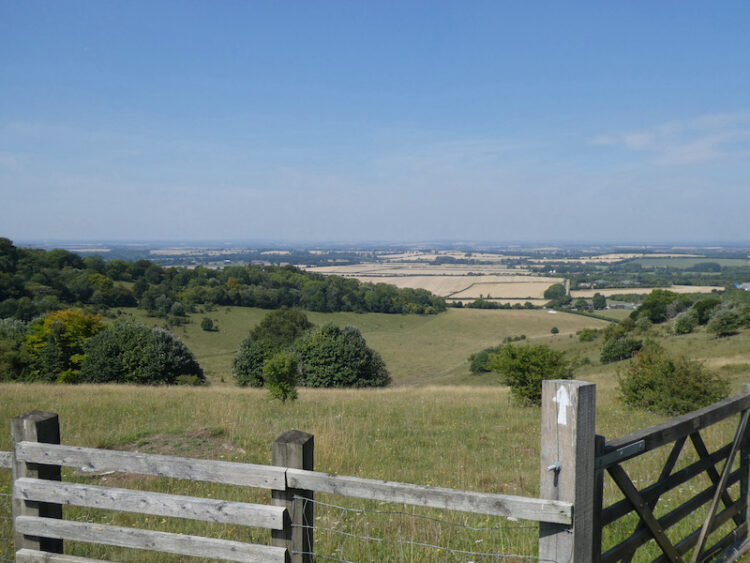
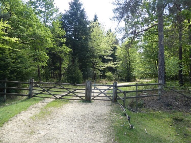
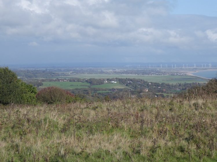
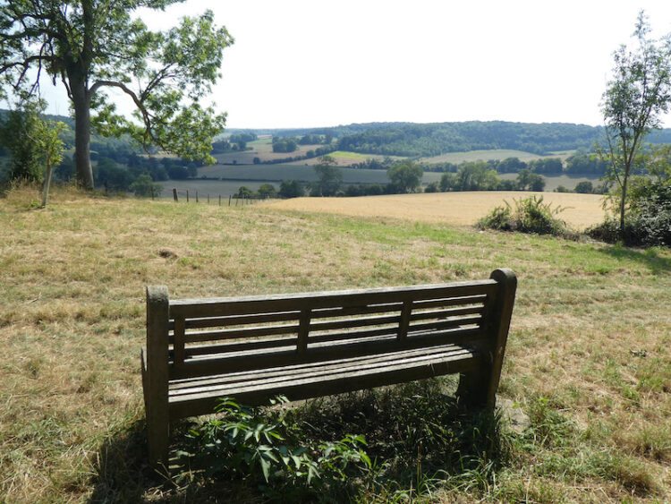
    This is a cracking spot and a perfect place to sit on a bench and take a break to rehydrate.  All the while there is the hum of traffic on the nearby M40, but I try to block this out and enjoy the view.   After passing through a couple of gates I pick up a tarmac lane heading down to the Icknield Way / Swans Way / Ridgeway Path, here I turn left to follow the broad track.

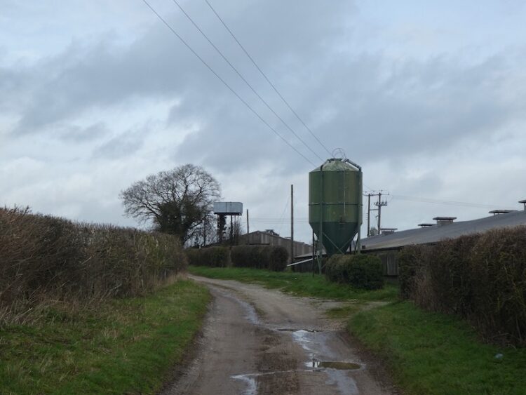
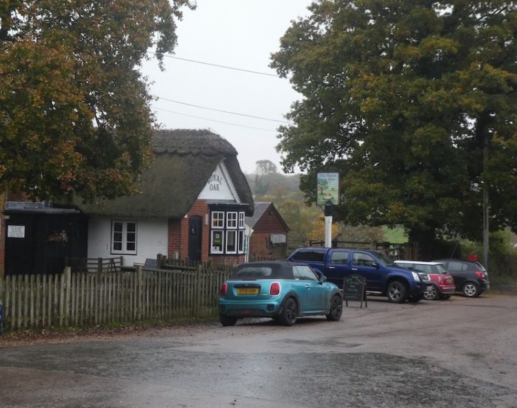
    Just short of two miles along the track I reach a tarmac lane and turn left to follow this, this is the route of the Oxfordshire Way, and I soon pass the sawmill and cattery at Pyrton Hill House and then continue straight on up the footpath as it heads over Pyrton Hill.

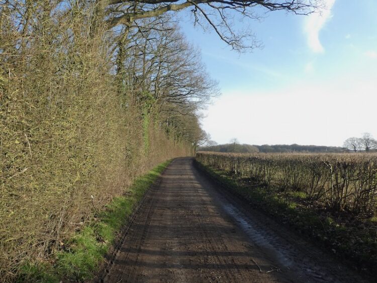
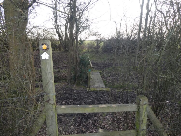
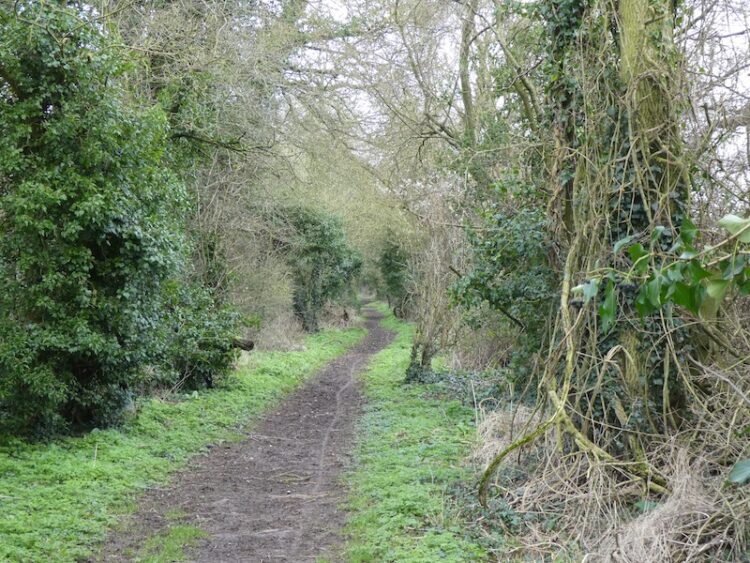
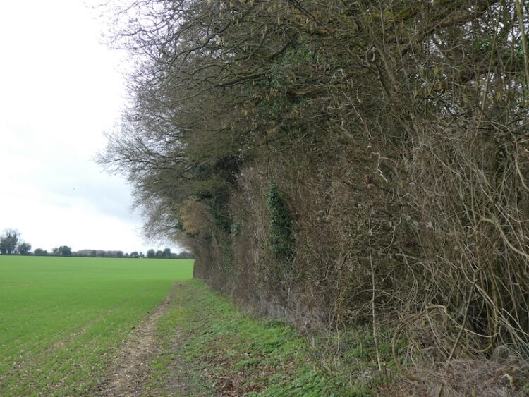
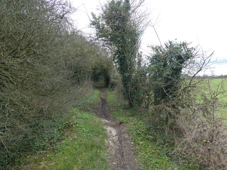
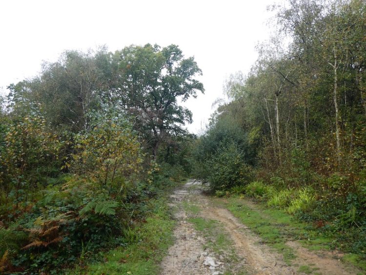
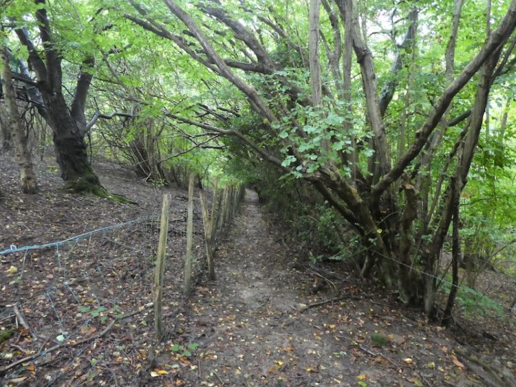
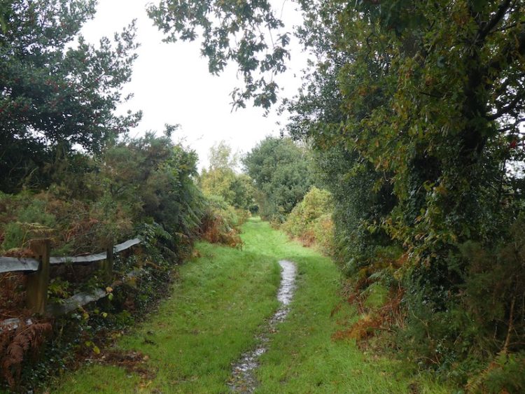
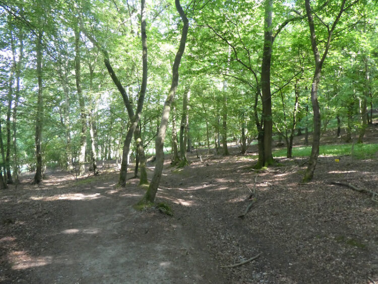
    As the path begins to levels out I fork right still on the Oxfordshire Way, to cross fields to reach a road where I turn right and then fork left soon after into Hollandridge Lane.  After 100 yards the road sweeps to the left, but I continue along Hollandridge Lane, this is a Restricted Byway heading towards Stoner.  As the track enters Queen Wood I take a footpath on the left, now I am back on the Oxfordshire Way and I follow this through the attractive Fire Wood.

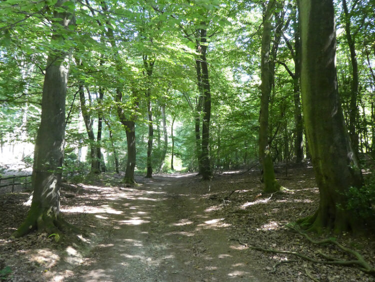
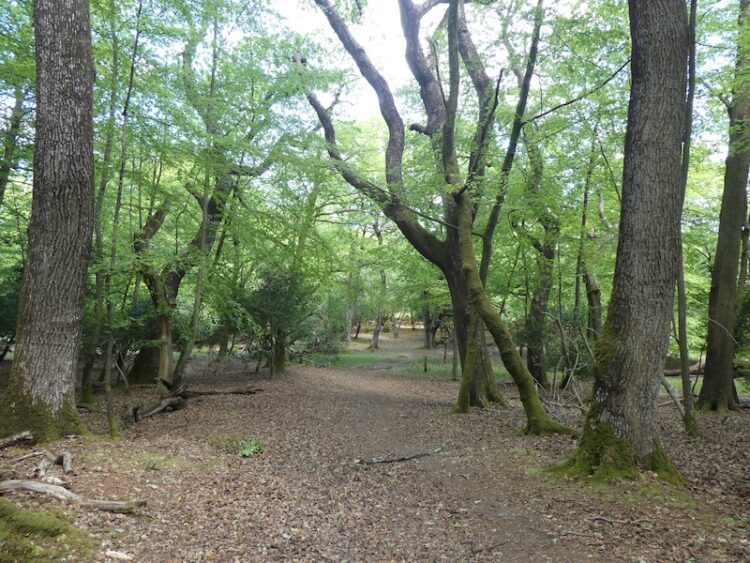
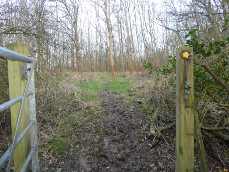
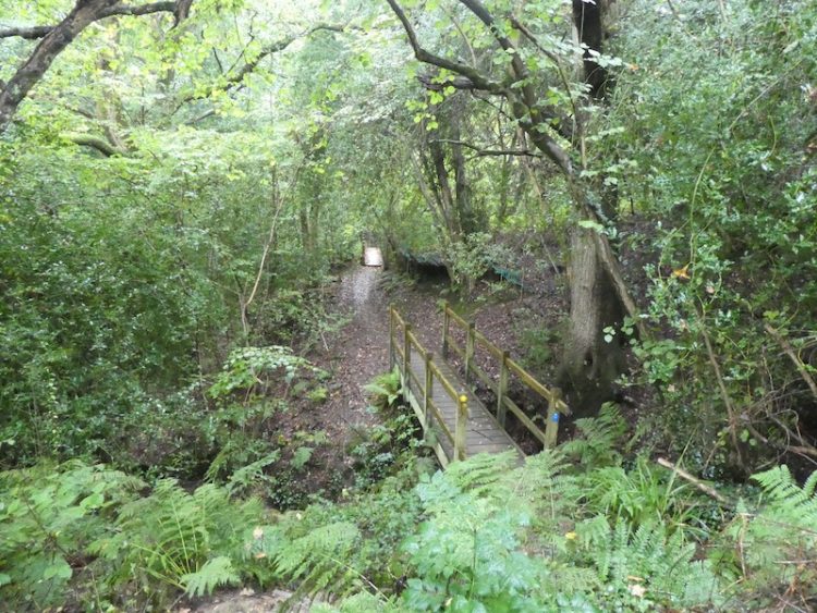
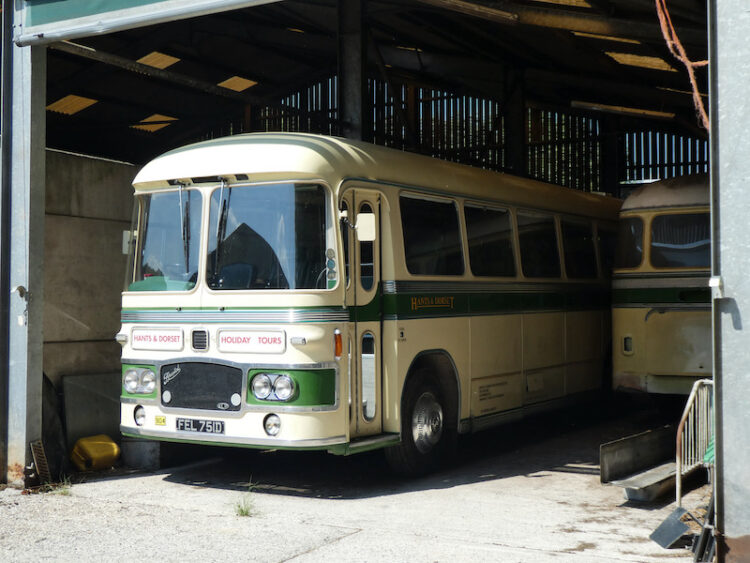
    This path leads through the bottom of a valley to reach a junction of paths where I continue straight on, to follow the path through Longhill Hanging Wood. As the track leaves the trees it becomes an estate road passing Turville Park Farm. 

    I am always intrigued when I pass this farm because there are usually a couple of old buses parked in the barns.  I have walked by many times but have never seen anyone to have a chat with about them.

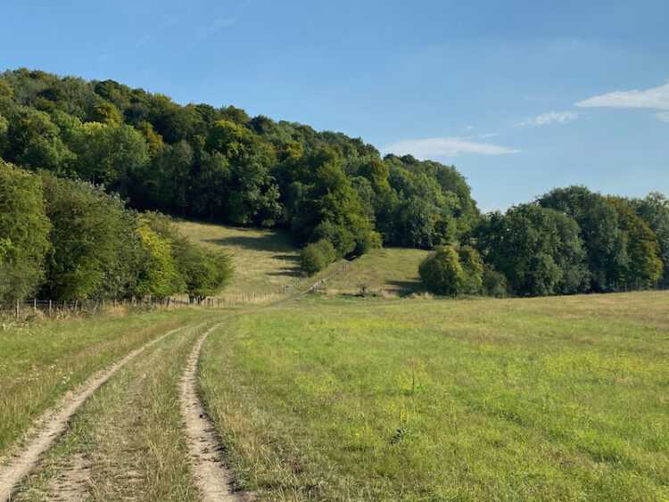
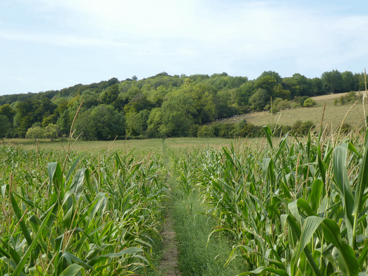
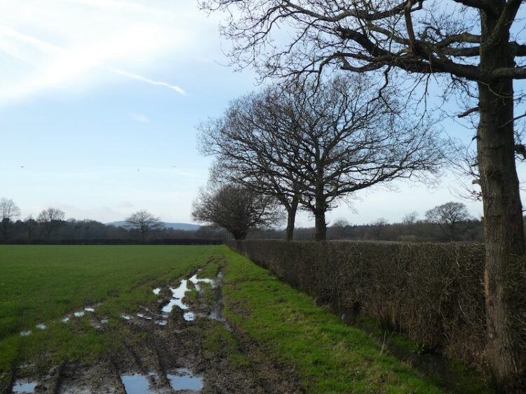
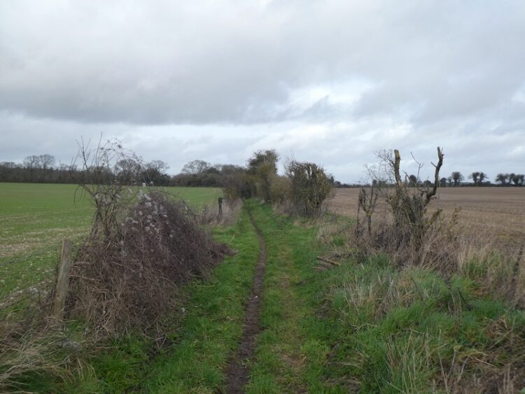
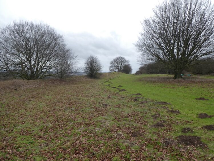
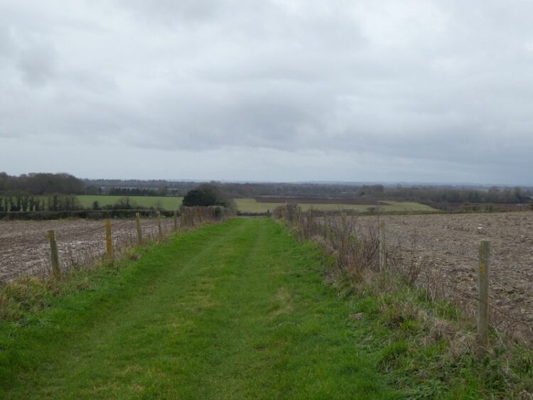
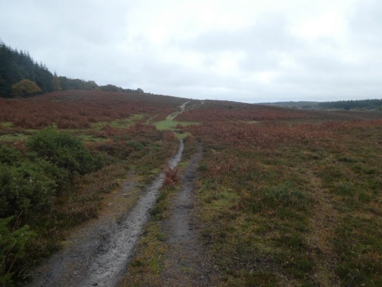
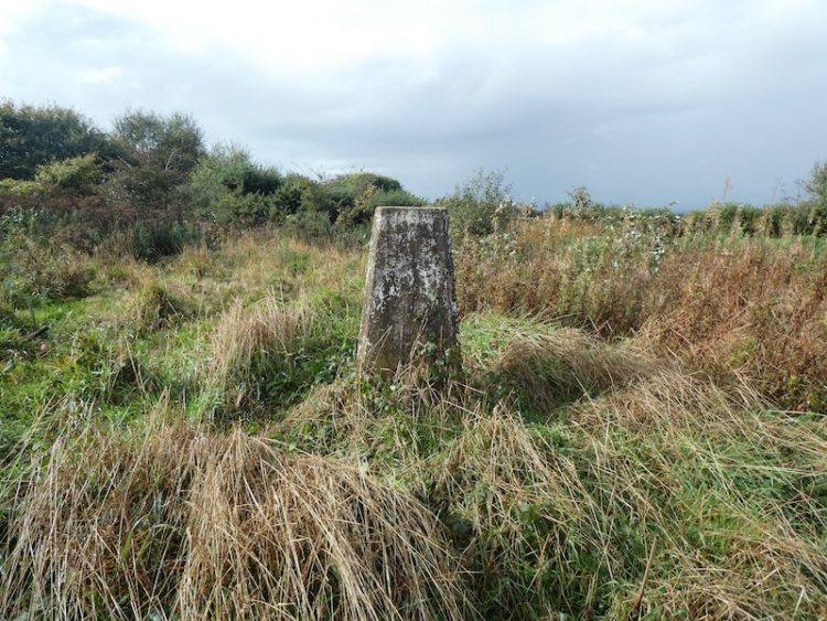
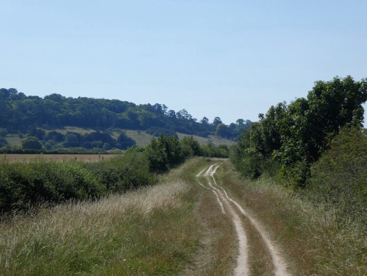
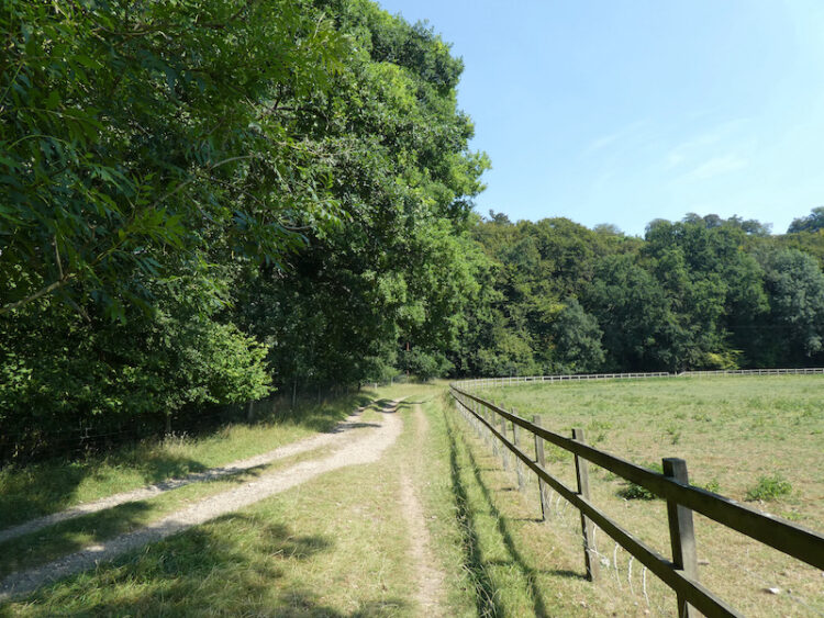
    After passing the farm I continuing along the bottom of the valley passing through a gate.  Then on reaching a crossing of paths I turn left to head uphill on a track between arable fields with fine views along the valley.

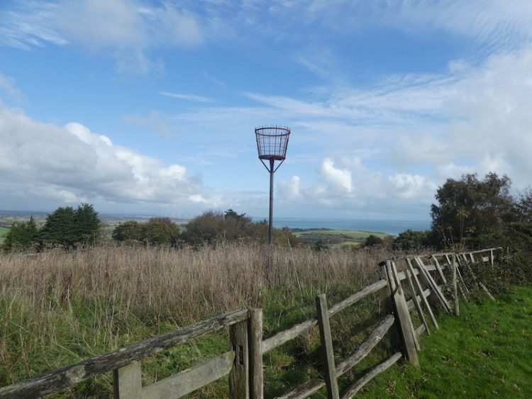
    At the top of the hill there is a bench perfectly placed for a stop for another drink and opportunity to admire the view.

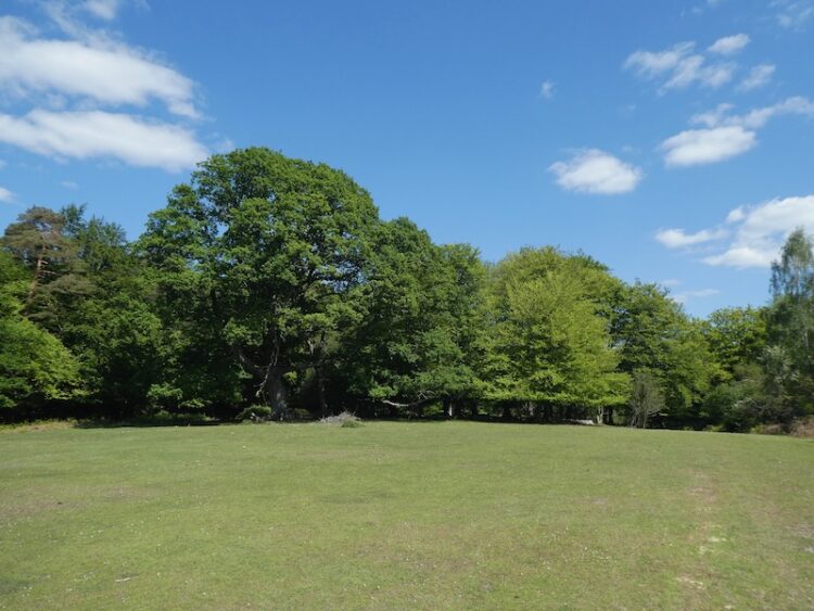
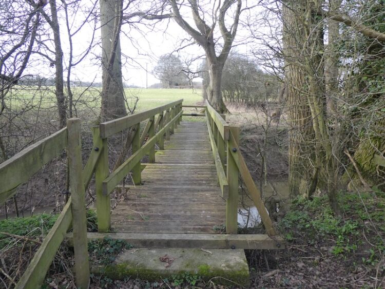
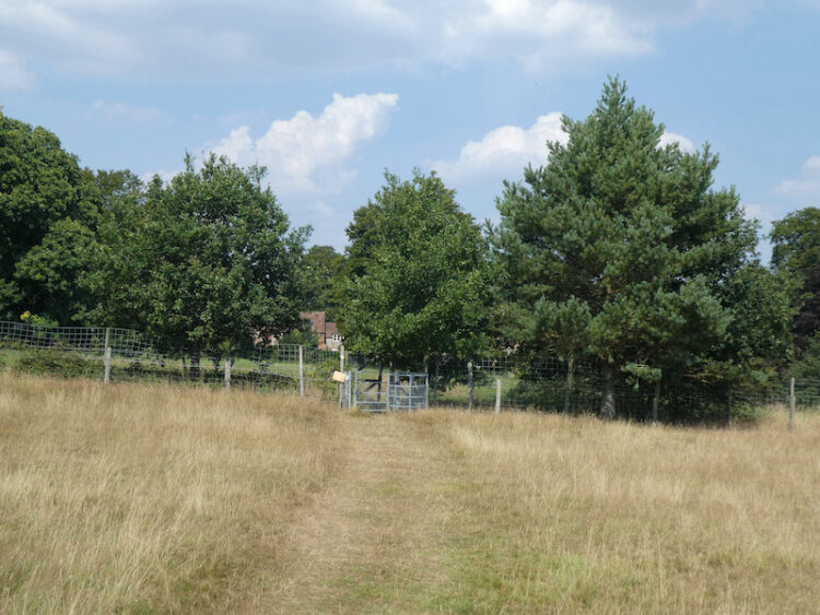
    I now follow the  track to an old metal kissing gate and go through to head across a couple of fields of pasture with newer kissing gates to reach Turville Heath.  

    On reaching Turville Heath there is a bus shelter, a number of years ago I pinned a card with details of my blog on the notice board.  I am pleasantly surprised to see it is still there!

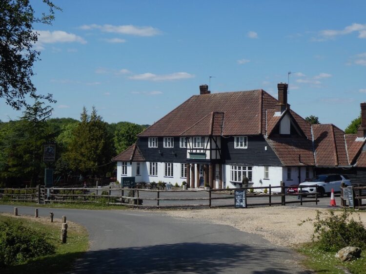
    I cross the heath towards the Barn Café and then turn left and walk along to the footpath that follows a flinty track as it descends steeply towards Holloway Lane.

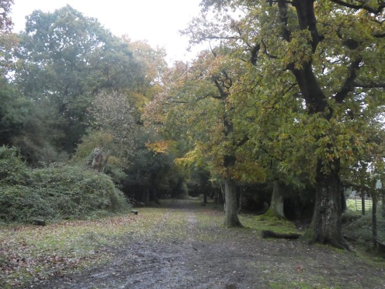
    After crossing the tarmac road I continue on across a field of pasture and cross another lane to pass through a small section of woodland to enter another arable field.  The route heads steadily uphill to a stile, then continues on the well-defined path to a kissing gate.  I then turn left to follow the bridleway, lined with Beech trees, towards Ibstone.

    The path becomes a tarmac lane and continues on to Ibstone Common.  From here it is a short stroll back down the driveway of Cholsey Grange CL. My walk has covered close to thirteen miles on a very hot day.  There is a suggestion of thunderstorms due soon.  It will be a blessed relief from this persistent heat.

    [To follow our walk you will need Ordnance Survey Outdoor Explorer Map 171 Chiltern Hills West]

    You can view this 13 mile walk on OS Maps and download the GPX File Here

    11th August 2020

    © Two Dogs and an Awning (2020)

    All information on this site is provided free of charge and in good faith and no liability is accepted in respect of damage, loss or injury which might result from it.  To the best of my knowledge the routes are entirely on public rights of way or within areas that are open for public access.
    Walking can be hazardous and is done entirely at your own risk.  It is your responsibility to check your route and navigate using a map and compass.

  • Sweltering in the Chiltern Hills

    Sweltering in the Chiltern Hills

    The weather continues to be stiflingly hot in the Chiltern Hills.  I am not a creature who enjoys very hot weather, I like it warm but once it gets near 30 degrees that is too much for me.  I am well past the age for sitting in the sun to get a tan.  I did in my younger days, but now worry too much about the damage I may have caused to my skin so I am rarely seen without a hat, long sleeved shirt and trousers.

    Yesterday I ventured out for a ten mile walk with Crosby.  We headed across to Christmas Common and enjoyed a section in shady woods.  When we left the woods Crosby was very reluctant and unusually for him tried to walk in any available shade.  I ventured out with four litres of water. Two for me and two for Crosby and we consumed it all.  It was a walk we have done before, details of which can be found here.

    Today we were up early and out for a few miles before the sun gave too much heat.  But come late afternoon Crosby is keen to set off again. We head downhill along the track that leads onto the site and follow it around the field to join a footpath and turn right.  After entering Penley Wood I turn left to follow the path along the bottom of the valley.  

    After crossing a stile I turn right and follow the farm track around the edge of the field to reach a stile besides a gate.  This track leads up to stables at Coopers Court Farm and a few yards after the stile I turn left to join the Chiltern Way and follow it as it follows a fenced path and then goes alongside the edge of fields.

    After passing through a belt of trees I go along the edge of a field to reach a fork in the path.  I stay close to the hedge line on a track that leads to the driveway to Studdridge Farm.  I cross the track and go along the edge of a field to reach woodland.  Here I follow the way-markers to reach the Ibstone Road.

    I cross the road and follow a path along a track leading into the Wormsely Estate.  This track heads steadily downhill to an estate road close to Wellground Farm.  I turn left and follow the road through the Estate.  This becomes a track and then when it forks I go left.

    The path heads steadily uphill through the trees of Commonhill Wood.  This is a long steady incline and on a hot afternoon the shade is welcome. 

    I keep with the path as it continues uphill to reach a gate and turn right to reach Ibstone Common.    The recent extreme hot weather has parched the grass on the Common and even though it is past 5pm the heat of the sun after being in the shade is overbearing.  I cross the common to pass the large Millennium stone.

    After crossing the cricket field I head back down the driveway to Cholsey Grange.  I have covered just under five miles which has been quite enough in this heat.

    To follow our walk you will need Ordnance Survey Explorer Map 171 – Chiltern Hills West

    You can view this 5 mile walk on OS Maps and download the GPX File Here

    10th August 2020

    © Two Dogs and an Awning (2020)

    All information on this site is provided free of charge and in good faith and no liability is accepted in respect of damage, loss or injury which might result from it.  To the best of my knowledge the routes are entirely on public rights of way or within areas that are open for public access.
    Walking can be hazardous and is done entirely at your own risk.  It is your responsibility to check your route and navigate using a map and compass.

  • Leygrove’s Wood and Cadmore End

    Leygrove’s Wood and Cadmore End

    A key feature of our caravan travel over recent years has been the annual fortnightly trip to Cholsey Grange CL to look after the site whilst the owners Ted and Jackie go away on holiday.   This is the sixth year we have  kept an eye on things and it’s always a trip I look forward to.  It is a great site and there are plenty of cracking local walks to keep me occupied and I rarely go far in the car, so it is a good opportunity to relax.

    I arrived a couple of days ago with Crosby, Lynnie has stayed at home for the first week with our older dog Dexter.  Since getting here the weather has been hot, so I have not been walking too far, the midday heat is a bit much for both man and dog.  Therefore we have been doing a couple of miles early in the morning and then heading out late afternoon for a longer walk.

    After setting everything up on Thursday I did a pleasant circuit covering a couple of miles which took me from the site into Twigside Bottom and then past Ibstone House, returning to the site via woodland and Ibstone Common.  It is a walk I have previously blogged and details can be found here.

    Yesterday’s walk differed, though I again went through Twigside Bottom but then continued to Fingest and Turville before returning to Ibstone.  Whilst here I regularly do this six mile walk details of which can be found here.

    Today it is another exceedingly hot day, so I leave it until mid-afternoon to head out for a walk with Crosby.  We leave Cholsey Grange through the gate beyond pitch 5 and join the footpath at the southern side of the site and then turn left following the path downhill into Twigside Bottom. 

    On reaching a junction of paths in a clearing  I turn left.  Within a couple of metres at another junction of paths I take a waymarked footpath on the right that heads steeply uphill through the trees.

    Emerging from the trees I follow the path as it heads around an arable field. At the next field the path goes across towards houses in the distance.

    On reaching a minor road, Chequers Lane, I turn left and walk to the junction of the B482, Marlow Road, and turn right and then very quickly take a left turn to join another minor road, Bigmore Lane.

    I stay on this lane, passing the entrance to Bigmore Farm on the right and then Gibbons Farm on the left.  As the road bends to the left I take a footpath on the right which is just off the entrance to Dell’s Farm.  This fenced path leads besides a house and then turns to head towards Leygrove’s Wood. After walking between fields the path briefly runs besides trees before entering the wood.

    At a crossing of paths I turn right to follow way-markers through the trees.

    The path emerges from the trees to cross an arable field towards Pound Wood.

    At a junction of paths in the woods I turn right to follow a track heading steadily uphill towards a tunnel under the M40. On the far side of the tunnel I follow the track up to the B482 and turn right to join the pavement and pass a school.  I now cross the road and walk across a green and follow the lane into Cadmore End. 

    After passing the Church I turn right on a footpath along a track heading out of the village.  At a junction of paths I turn left to stay on the track as it heads downhill to reach the edge of Hanger Wood.  Just as I enter the trees the path divides, I take the left fork which follows along the edge of the wood. 

    Staying on the path I am soon above Hanger Farm, here the path sweeps to the right and descends steadily towards Fingest.  I ignore a footpath on my left leading down a track and go through a gate to enter the edge of pasture land.

    This leads to a fenced and then hedged path that emerges back onto Chequers Lane close to Fingest church.  I turn left towards The Chequers Inn.  At the road junction in front of the pub I turn right and follow the church wall.  As the road sweeps to the left I take a footpath on the right that leads besides a property to reach a junction of paths.  Here I turn left towards a minor road.

    I cross the road and continue along a path through trees across Turville Hill.  After going through a kissing gate I cross a field of pasture, to my right is a view of Cobstone Mill.  This mill featured in that classic film; Chitty, Chitty, Bang Bang.

    I follow the path to reach further kissing gates and then head into Turville where I turn right and walk through the village and then take a footpath on the right opposite an attractive old barn, which is currently being renovated.  This path leads between properties to reach a field.

    Following the clear path across the field I reach another set of kissing gates to enter access land and walk a few yards uphill to another gate on the left.  This leads into woodland with a clear path heading steadily uphill to a kissing gate.  There are fine views along the valley from here.

    I follow the uphill path along the fence line and then along the edge of woodland.  I ignore a path on the right leading into the trees, instead staying beside the fence to the end of the field where I turn right uphill and after twenty yards take a footpath on the left.  This path leads through the bottom of a Beech copse to reach a minor road.

    I turn right up the road and then as it sweeps to the right I turn left to reach St Nicholas’ Church.

    From the church I join a footpath that runs besides the graveyard and follow this through an attractive section of woodland.  

    I stay with this path ignoring footpaths on the right.  The final section in the woods is a short steep ascent to reach Gray’s Lane.  Here I turn right and follow this lane to reach the cricket ground at Ibstone Common.

    From the common I cross the road into the entrance driveway to Cholsey Garage and return to the caravan site.  Despite leaving my walk until late in the day it has been hot  and I have covered over eight miles.  It is time for Crosby and I to have a rehydration session!

    You can view this 8 mile walk on OS Maps and download the GPX File Here

    To follow my walk you will need Ordnance Survey Explorer Map 171 – Chiltern Hills West.

    9th August 2020

    © Two Dogs and an Awning (2020)

    All information on this site is provided free of charge and in good faith and no liability is accepted in respect of damage, loss or injury which might result from it.  To the best of my knowledge the routes are entirely on public rights of way or within areas that are open for public access.
    Walking can be hazardous and is done entirely at your own risk.  It is your responsibility to check your route and navigate using a map and compass.

  • Trigs and Memorials in the New Forest

    Trigs and Memorials in the New Forest

    As we are still unable to tour in the caravan I am once again exploring parts of the New Forest I have not previously walked.  A feature of this year has been the need to identify walks close to home that avoid contact with others.  It has given me an opportunity to seek out a few Ordnance Survey trig points I have not previously bagged.

    The starting point for today’s walk is the Abbotts Well Car Park close to the village of Frogham in the New Forest.  This location gets its name from the nearby roadside ancient well which apparently dates from 1215.  The southern end of the car park has a viewpoint with a toposcope  helping to identify points on the horizon.

    Leaving the car park I follow a track along the ridge heading west.  After passing a cottage on the left I take a path on the left and then after a couple of hundred yards turn left to follow a track downhill across Hyde Common towards a minor road.

    I cross the road and take a path running besides a cottage to reach another minor road where I turn left.  In a few hundred yards at a T-junction I take a track opposite and go southeasterly to reach access land as the track sweeps to the left I take a path opposite heading up Dorridge Hill.

    This path takes me over the top of the hill and then descends to a network of tracks and paths at Brogenslade Bottom.  I take a broad, uphill track in a southerly direction to reach Ibsley Common.  I have been here on previous occasions and decide to pop across to look at the World War II Direction Finding Station.  

    Originally the brick walls of this base were protection for a three storey wooden tower that stood within it and housed the High Frequency Direction Finding Station.  Known as Huff-Duff, it was part of the network of locations across the Country used to track Allied Aircraft and help them to intercept enemy aircraft.   The tower was made of wood to reduce interference and housed the equipment and operators.

    From the Huff Duff I return to the track and head in south westerly direction to reach the Ordnance Survey trig pillar at Whitefield Plantation, this is one I have previously bagged.

    After the trig I keep heading south west to reach a junction of tracks.  I turn to the left and head south easterly towards a footbridge over Dockens Water.

    After crossing the stream I head uphill to reach a minor road and cross to follow the footpath uphill and then drop down to cross a stream in Big Whitemoor Bottom.

    I now head uphill to Rockford Common where the path heads to the east and then at a junction of tracks I turn right to walk besides a track heading south.

    On reaching a road I turn left and walk besides the road to pass the entrance to a car park at Linford Bottom before crossing a stream.

    At a road junction I go left, staying with this road as it bends to the south and heads steadily uphill.  On reaching a cycle track on the left, opposite the entrance to Broomy Hurst, I leave the road and follow the track over Picket Hill.

    There’s a network of paths up here, but I stay with the cycle track to reach the underpass of the A31 at Picket Post.  It is now a very hot day and the underpass is obviously a favourite spot for New Forest Ponies seeking some shelter from the sun.  The ponies are totally ambivalent of me as I squeeze by them.

    On the far side of the tunnel I take a path heading east towards Ridley Wood.

    The route descends to cross the attractive Mill Lawn Brook before heading up to reach the edge of Ridley Wood.

    After passing through the woods I stay with a track, Sir Dudley’s Ride, named after Sir Dudley Forwood, 3rd Baronet (1912-2001); apparently he was the sole equerry to the Duke of Windsor after his abdication.  Following World War II Sir Dudley moved to the New Forest and held a number of roles within the local community.

    The route soon heads north besides Berry Wood and then continues on towards Backley Inclosure.  On a sunny June day it is very exposed here, there is no cover and the heat is oppressive.  The track passes the inclosure and then becomes a fainter route as it descends through Backley Bottom and then heads up to Bratley Wood.

    At a track I turn right and then after a few hundred yards turn left to follow a path towards a footbridge over Bratley Water.

    After crossing the footbridge I follow a route up to reach a cycle way at a gate into Bolderwood Grounds, here I turn left following the cycle way as it heads steadily uphill towards a car park.  I am no fan of cycling, whenever I get on a bike I end up with a bad back.  I meet a group of cyclists who are finding it difficult to ride up this track and soon realise I am gaining ground on them, then they suffer the ultimate humiliation of being overtaken by a walker!  At which point they decide it is time to stop for a rest.  

    Nearing a minor road I skirt the busy car park to avoid contact with others and head across to the Canadian Memorial.  Apparently it was here that on 14th April 1944 Rev Keith Perdue, Chaplain to the 3rd Canadian Infantry Division, erected a cross and held services for the servicemen preparing for the Normandy Invasion on 6th June 1944. Sadly many of these men did not survive the invasion and subsequent battles.  

    Leaving the Memorial I head north besides the road and then very quickly turn right onto a track into Bolderwood.  At a fork in the track I go left, leaving the main track to join a grass track heading downhill through the trees and bending to the left to reach the edge of an inclosure where I turn right and cross a footbridge over Long Brook.

    I stay with a path close to the border of the inclosure heading towards Stonard Wood.  I then follow the path through the woods, still close to the edge of the inclosure to reach the Ordnance Survey trig pillar at Harts Hill, this is the 210th trig I have bagged.

    From the trig I head north west on a track to the northern edge of Stonard Wood where I turn left until I reach a path on the right towards Withybed Bottom where I turn and follow the path down towards Long Brook known as Murray’s Passage.  

    Just after crossing the brook I spot the memorial stone to Admiral Murray who was killed in 1901 whilst out hunting.  The track through Withybed Bottom was constructed as a safe passage across the boggy land in memory of Murray.

    After ascending the other side of the valley I reach a track close to a pond and turn left to head south easterly to Lucas Castle.  After passing over the hill I descend to cross a stream at fords and turn right following a track to a junction of tracks at Fritham Cross Hollies where I turn right heading for the A31 underpass.  Emerging on the east side of the A31 I soon take a track to the left and follow this to Slufters Inclosure.  In the Inclosure I follow a track to a crossing where I turn left to join a cycle way.

    I follow the cycle way through the inclosure to reach a minor road which I cross and continue through more trees.  Emerging from the trees I turn left on a track heading towards the A31 and then keep with the track as it sweeps to the right and heads east to reach the trig point on Bratley Plain, my 211st.

    Now I stay with the track heading east to reach Roe Inclosure.

    In the Inclosure I stay on the track heading east towards Amie’s Corner.  On reaching a gate besides Roe Cottage I go through and then turn right to follow a grassy path to reach a minor road where I turn right to follow a path besides the road to reach a car park.  Here I cross the road to follow a track through Broomy Walk to head steadily downhill to pass the High Corner Inn.

    After passing this pub I continue on a track and on reaching Dockens Water cross on a footbridge.

    The route I now take is north east across the common heading steadily uphill to pass Hasley Inclosure.

    Then I continue on across Hasley Hole.  This area appears to be a meeting spot for ponies.

    On reaching a track I go right to head north crossing a footbridge and then going by Ogden’s Farm.  Staying with the track until I reach a path below Abbotts Well Car Park where I turn right and make the short ascent to my starting point.

    My walk has covered 21.5 miles on a very hot day.  It has been interesting exploring these parts of the New Forest.  The area of the forest that I have walked around is littered with tracks and paths so if you plan to follow my route I would recommend downloading the GPX file.

    To follow my walk you will need Ordnance Survey Explorer Map OL22 New Forest

    You can view this 21.5mile walk on OS Maps and download the GPX File Here (Subscription to OS Maps Required)

    23rd June 2020

    © Two Dogs and an Awning (2020)

  • Two Trig Pillars and The Rufus Stone

    Two Trig Pillars and The Rufus Stone

    The lockdown restrictions on travel were eased yesterday and whilst we are still being extremely cautious I am getting into the car for the first time in weeks and starting a walk from a location other than my home village.  It feels really strange driving again and the roads are extremely quiet as I make the short journey to Canada Common on the edge of the New Forest.

    The starting point for my walk is the car park on the edge of Canada Common (Grid Ref: SU287177).  There are a lot of people sat around the car park, I hope this doesn’t mean I will encounter too many folk whilst out walking. 

    Leaving the car park I head north on a path across the Common and stay with this route until I reach an Ordnance Survey trig pillar.  This is the 200th I have bagged.

    Like many others concern over the current situation around the Covid-19 pandemic has disrupted my sleep.  A few nights ago I was awake during the night and struggled to get back to sleep.  Lynnie suggested that a good way to drop off would be to count the trig pillars I have visited.  I started in the Scottish Highlands and headed south; I was asleep before I reached the Yorkshire Dales!

    The area I am walking is open access land, but where possible I stick to paths as I don’t want to disturb ground nesting birds or other wildlife.  From the trig pillar I follow a path heading north and gradually descend to join another path where I turn left and head south along the bottom of West Wellow Common.

    I stay with this route until I reach a junction of paths; here I turn right and head west across Plaitford Common heading towards Deazle Wood.

    The path leads into the woods and then I fork left to head south through the trees to reach a minor road and turn right to follow it.  After a quarter of a mile, just after crossing a stream, I turn left and take a path heading south westerly through trees.  This track soon joins a gravel driveway and I stay with this until I get to a minor road.

    After crossing the road I continue on into Bramshaw Wood.  There are a network of paths in these woods and I am glad I brought my map and compass so I can keep heading in the right direction.  Before the lockdown I completed the Silver National Navigation Award Scheme course with Nigel from New Forest Navigation.  I have walked for years with a map and compass but a mishap in the Yorkshire Dales a few years ago made me realise that I needed to be a lot more confident in navigation.  So walking through woods like these are a good test of my contour reading and pacing skills as I head towards Black Bush Plain.

    On leaving the trees on the edge of Black Bush Plain I fork left on a track going south across the plain towards the Bramble Hill Walk car park besides the B3078, Roger Penny Way.

    I stay besides the road and head to Long Cross crossroads, here I continue by the Roger Penny Way for a couple of hundred yards before turning right to cross the road to take a footpath heading south into woods. Initially the path is not easy to spot, but it soon reaches an inclosure and I keep heading south with a boundary fence to my right.

    After going through a gate the path becomes more well used and continues to reach a broad gravel track.  I turn left along the track through Salisbury Trench, it is a cycle way so easy to follow and today not a single bike passes me.   

    At a junction of cycle ways I turn left and follow the track to a gate leading to a clearing between inclosures. The track now goes through a gate into King’s Garn Gutter Inclosure.  

    At the next junction of cycle ways I turn left and follow a gravel track through the woods to a clearing on the edge of the inclosure. Here I turn left and head east along a path, soon crossing Coalmeer Gutter. 

    At a fork in the path I go right to continue across access land towards a minor road and the Rufus Stone.  The path across this access land is not clear so I take a bearing with my compass to ensure I am heading in the right direction.

    As I near the minor road I turn left and soon reach the Rufus Stone.  This stone is supposed to mark the spot where King William II, also known as William Rufus, was fatally wounded by an arrow whilst out hunting on 2nd August 1100.  The deadly arrow was said to have been shot by Sir Walter Tyrrell and had ricocheted off a tree. By all accounts Rufus was not that popular so few people mourned his death and his body was transported to Winchester Cathedral by a local charcoal burner.

    More recently doubt has been cast on whether this is the actual location, historians think it may well have been nearer Beaulieu and it has also been suggested that Sir Water might have actually intended to do away with the King.  Within three days William’s brother Henry was crowned King.

    My route now follows the road to pass the Sir Walter Tyrrell pub.  Originally the pub was the building next door which is now a holiday cottage.  I have not visited this pub for over forty years, perhaps when things return to normal I will bring Lynnie here.  However, her memories of this area are scarred by her coming off her bike in front of the very busy pub garden whilst on a bike ride with the children.  She never used the bike again!

    The route now follows the minor road through Upper Canterton and when the road bends to the left I take a bridleway on the right heading towards Lower Canterton.  Some mindless individual has decided this would be an ideal spot to fly tip.  I find this type of behaviour absolutely abhorrent and take pictures so I can alert the Council.  Hopefully they will be able to trace those responsible.

    Still fuming about the fly tipping I continue along the track and then enter woodland and on reaching a house turn left to follow a footpath that soon joins a minor road.  This leads to the B3079 in Brook, where I turn left and then after a short distance cross the road at the pull in for Cedar Cottage and go through a gate to take a bridleway along the edge of a copse.  To my left is Bramshaw Golf Club, a course I played once, over forty years ago.

    The bridleway reaches a minor road where I turn right and soon pass Warren’s Farm. I stay with the road until I pass cottages on the left and reach a clearing.  Here I go left to take a bridleway heading north towards Cadnam Common.

    On the Common there are a network of tracks and paths, I take a route that continues north towards the prominent Stagbury Hill. This is a cracking common and apart from one other couple in the distance I have the vast space to myself.  

    I pass a pond and then start a steady ascent to reach the summit of Stagbury Hill.  This is such a prominent feature with a commanding view across the common.  It also has an Ordnance Survey trig pillar, my 201st bagged.

    As part of the navigation course I attended a few months ago we had to locate a couple of boundary markers.  I see on the map that there is one on the side of this hill so take my bearing and measurements and pace off to find it.  As it happens it is easy to locate and exactly where I expected it to be!

    I now follow a path across Furzley Common to reach a crossroads.  I turn left and follow the minor road to reach access land on Penn Common.  

    At a gravel track on the right I walk away from the road and continue to cross a stream at Moor Bridge.  The track now leads onto Canada Common where I follow paths heading in a northerly direction to return to my starting point at the car park.

    My walk has covered thirteen miles and it has been interesting to explore parts of the forest I have not visited for years; the only downside was the fly tipping but that will be reported as soon as I get home.

    To follow my walk you will need Ordnance Survey Explorer Map OL22 New Forest

    You can view this 20 mile walk on OS Maps and download the GPX File Here

    14th May 2020

    © Two Dogs and an Awning (2020)

    All information on this site is provided free of charge and in good faith and no liability is accepted in respect of damage, loss or injury which might result from it.  To the best of my knowledge the routes are entirely on public rights of way or within areas that are open for public access.
    Walking can be hazardous and is done entirely at your own risk.  It is your responsibility to check your route and navigate using a map and compass.

  • Trig Bagging from The Fox Revived

    Trig Bagging from The Fox Revived

    Today’s walk is unusual for me; I am filling time between dropping our son at Gatwick Airport, to return to Oslo where he lives and works, and collecting our friends Mandy and Stuart, returning from holiday five hours later.  I could have brought a book and found somewhere to while away the time, but for me five hours is long enough to fit in a reasonable walk.

    The starting point for the walk is the car park of The Fox Revived at Norwood Hill.  I called a couple of days ago and they confirmed they were happy for me to leave the car whilst heading out for a walk.

    Leaving the car park I head north east along the edge of a road and soon reach a footpath sign on the right.  I enter a field and walk a few yards to bag the Ordnance Survey Trig Pillar standing beside the hedge; number 194 bagged.

    My walk continues by returning to the road and just over a hundred yards along I take a footpath on the left. I enter a field and head down towards a stile.  The route continues downhill through a second field to another stile.

    After crossing further fields the path runs along the margin of a field with a stream to my right.

    At Nutley Dean Farm I go through a gate and turn right to follow the way markers through the farm, along the way passing an attractive pond.

    At a fork in the track I go left and head north towards Dean Oak Farm.

    At a crossing of footpaths close to a cottage with stables I turn left and follow the path down to a footbridge across a stream.

    After heading through two fields I reach Deanoak Lane which I cross and continue on a footpath crossing further fields to reach the driveway of Dene Farm.  The footpath crosses the driveway and continues through the edge of Dene Farm and then heads steadily uphill towards Swains Farm, on the summit of the hill is another Ordnance Survey Trig Pillar, my 195th.

    I head west on the footpath descending through fields to reach the driveway of Swains Farm.  I turn left and follow the driveway to reach a minor road where I turn left and walk along the broad verge to a footpath on the right.  This heads through a muddy field.

    At a junction of paths I turn left and follow the path into woods.

    Emerging from the trees I head uphill, as I approach Heron’s Head Farm I take a path on the right and continue across fields to Brook Farm.  The path goes through the farm and then I take a footpath on the right heading towards a copse at Little Shellwood. 

    After going through the trees I emerge besides a road and turn right for a short distance before taking a lane on the left leading to Shellwood Manor.

    Staying with the track I pass Shellwood Manor and some cottages and then spot in a field to my right my third OS Trig Pillar of the day, bringing my overall total to 196.

    The route now follows this broad track west to a junction of tracks where I turn left to follow another track towards woodland close to Ewood Farm. 

    After passing the farm I continue on the track to reach a junction where I turn right and then within a few hundred yards take a footpath on the left leading through woodland to reach a minor road.  

    I cross the road and enter Hammond’s Copse and follow the path through the woods to reach fields.  The route now passes Parkhouse Farm and then down to cross a stream. 

    I go through horse paddocks where the path is not easy to distinguish.  It then crosses stiles to enter fields with horses grazing, their hooves have poached the field and it is tough going as the ground is saturated.  After a stile I go through another field and then reach a minor road where I turn left and soon cross Hales Bridge. I stay on the road to pass houses on the left and then take a footpath on my left that runs alongside a hedge  and crosses a farm track. 

    My route is now through fields which are extremely muddy, with each step I  am ankle deep, it is particularly hard going.

    After this slog across fields I am grateful to reach firmer ground at Chantersluer Farm.  Here I follow the farm driveway to a minor road where I turn right and gradually ascend to my starting point at The Fox Revived.

    I have covered just over ten and a half miles and just have time for a quick pot of tea in the pub before heading back to Gatwick Airport to collect Mandy and Stuart.  Any walk with three trigs cannot be bad, but I think this one would have been more enjoyable on a day when the ground was drier!

    To follow my walk you will need Ordnance Survey Explorer Map OL146 – Dorking, Boxhill & Reigate.

    You can view this 10.5 mile walk on OS Maps and download the GPX File Here (Subscription to OS Maps Required)

    5th February 2020

    © Two Dogs and an Awning (2020)

  • Quarley Hill from Middle Wallop

    Quarley Hill from Middle Wallop

    The car is going into the garage today so whilst it is there I am going to head out to bag a nearby trig point which has been in my sights for a little while.  The starting point for my route is outside Pinchbeck’s Garage in the village of Middle Wallop.

    I start by crossing the busy A343 and walking a few yards to reach a footpath on the left hand side.  This path goes through a field to a metal stile leading into a caravan storage yard.  

    The footpath goes directly through the storage area and then continues in a westerly direction.

    At a crossing off tracks I turn right to follow a track heading north.  On reaching a junction of trails I turn left and then within a few hundred yards take a track leading towards a minor road.

    After crossing the road I continue along the track, to my right there is a view of the hangers at Middle Wallop Museum of Army Flying.  The airfield was constructed at the start of World War II and was initially occupied by 15 Flight Training School, but as the war developed it became the base for fighter planes.  In 1958 the airfield was taken over by the Army Air Corp and became a base for helicopter training.

    This track leads to an arable field, the path crosses the field to join a tarmac lane to the north of Park Farm.  I head north along the track passing barns and a water tower.

    On reaching the B3084 I cross and continue north on a track, Georgia Lane, soon passing Oklahoma Farm. 

    The track becomes a minor road at Georgia Farm, I am not aware why the farms in this area are named after American States, it is something to research when I have more time.  The road continues north and goes under the Salisbury to London railway line.  For over twenty years I commuted from nearby Grateley to London and would often look out of the window and see this lane.

    Heading towards a junction with a minor road at Fox Farm I get a fine view of Amport House in front of me to the right.  Apparently, this house was built in 1857 by John Paulet, 14th Marquess of Winchester.  In the early 1920’s the house was purchased by Colonel Sofer Whitburn who then engaged Sir Edward Lutyen’s and Gertrude Jekyll to redesign the gardens. At the outbreak of World War II the house and estate were requisitioned to be used as RAF Maintenance Command.  The RAF later purchased the site and only recently vacated it, it is currently on the market.

    At Fox Farm I turn left along the road and then after a few hundred yards fork right onto a road signposted to Quarley.  When the road bends to the right I continue straight on along Grateley Drove.  There are an assortment of old busses and other vehicles here converted to homes.  I don’t see anyone as I walk along, but I am sure my presence is noted.

    On reaching a road I turn right towards Quarley Manor Farm. At the farm drive I turn left and follow a footpath through the farm buildings and then into a field to walk along the edge of Quarley Wood.

    The path continues along the edge of fields, to my right I can see the Hill Fort at Quarley Hill, I am hoping to bag a trig on that hill, but know it is off the public right of way.  As luck would have it a chap on a dumper truck appears as I reach the track leading to the hill fort.  I ask him if I can wander up to the fort, he readily agrees and is surprised I thought I needed to ask. 

    It is a steady ascent to the Iron Age Hill Fort and it is easy to see why early inhabitants selected this spot, there are extensive views,

    At the north eastern corner of the fort is an Ordnance Survey Trig Pillar, this is the 193rd I have bagged.

    After admiring the views I head back down the track to the footpath and turn right and head above Manor Farm Dairy.  At a junction of tracks I turn right and then after a few hundred yards take a footpath that crosses a field to reach the B3084.  

    At the B3084 I turn left and follow the road to the entrance to Portway Farm.  The route now follows a hedge lined footpath towards a minor road.

    At the junction with the minor road I continue straight on towards Palestine.  I have recently been reading “A Natural History of the Hedgerow and ditches and dykes and drystone walls” by John Wright.  It is amazing how reading such a book has made me more aware of the hedgerows I pass.  As I walk along this road I see a classic example of a hedge laid many years ago.

    I ignore a road to the left, but a few hundred yards further on turn right into Zion Road.  At a junction with Palestine Road I turn left and head south to reach a minor road, Mount Carmel Road.  I turn left and after a couple of hundred yards at a junction of road and tracks I turn right and follow the broad track as it skirts the boundary of MOD land.

    I stay on this track until I reach the second track on the left, this leads towards the entrance to Croft Farm and then becomes a minor road with the Wallop Brook running in ditches either side.  As I reach the outskirts of Over Wallop I pass a pond and then turn right to walk into the village.

    So far my walk has been dry, but as I enter the village it starts to pour with rain.  Therefore, I decide to take the most direct route back to my starting point.  This entails following the minor road through the village passing the White Hart pub.  This is a pub I have not visited for years, but forty years ago it was a regular place to head for a pint and game of Bar Billiards.  

    The route is now very straightforward.  I just stay on the road besides the Wallop Brook, passing the War Memorial to reach the A343 in Middle Wallop.  From here it is a case of crossing the road and returning to my starting point.

    My walk has covered almost twelve miles.  Despite being so close to home it is the first time I have walked many of the paths so will no doubt be returning at some point in the future.

    You can view this 12-mile walk on OS Maps and download the GPX File Here

    To follow my walk you will need Ordnance Survey Explorer Map OL131 Romsey, Andover and Test Valley.

    Additional Information

    For more information on this walk including car parking, amenities, refreshments and detailed walking directions visit my associated Walking Moonraker website.

    3rd February 2020

    © Two Dogs and an Awning (2020)

    All information on this site is provided free of charge and in good faith and no liability is accepted in respect of damage, loss or injury which might result from it.  To the best of my knowledge the routes are entirely on public rights of way or within areas that are open for public access.
    Walking can be hazardous and is done entirely at your own risk.  It is your responsibility to check your route and navigate using a map and compass.

  • Bagging Four Trigs from Pipers Wait

    Bagging Four Trigs from Pipers Wait

    Despite living so close to the New Forest it is an area I rarely walk.  Since the occurrence of a few cases of Alabama Rot affecting dogs in the forest I have been cautious about taking our dogs there.  Also I don’t like visiting when it is busy in peak holiday season, however, in November without the dogs it is a good place to go.

    Today I am walking with my friends Mandy and Ged and our starting point is just south of Nomansland in the car park at Pipers Wait (Grid Ref: SU249165).

    Leaving the car park we cross the road and head west across open ground towards woodland.

    At the edge of Franchises Wood we turn left and follow the fence line, soon we are crossing soggy ground, trying to ensure firm footing to avoid a boot full of mud.

    Our route runs parallel to the B3078 and then the B3080.  We pass Hope Cottage and continue along besides the woodland boundary to reach the Ordnance Survey trig pillar at Pound Bottom, this is the 183rd I have bagged.

    From the trig point we continue along parallel to the B3080 for another 350 metres before crossing the road to join a path heading south across Rushy Flat.  This path leads to the B3078, Roger Penny Way.  After crossing the road we continue south across open ground heading steadily downhill through the edge of Black Gutter Bottom.

    Our route then climbs to reach a firmer path where we turn right and head southwesterly, our initial joy of getting on firm ground is short lived when we reach a flooded area of track  requiring a slight detour to keep our feet dry.

    At a fork in the track we go right and follow a track marked on the map as Leaden Hall. From here we can just about make out the line of Cranborne Chase in the distance.  The visibility so far has not been good, but it is gradually beginning to clear.

    At a junction of paths at Little Cockley Plain we go right and then at the next junction take a left to head downhill through Great Cockley Plain.

    After skirting a copse we continue to a brook running through Must Thorns Bottom.  In the summer this would not present much of an obstacle, but after the recent heavy rainfall it takes a while for us to identify a suitable spot to traverse without getting wet feet.

    We now head towards Pitts Wood Inclosure; inclosures, or enclosures, were parts of the forest fenced to keep out the Commoners’ animals to enable the young trees to grow.  When the trees matured the enclosures were open again, (known as thrown out).

    The practice of inclosures was created by the 1698 Act for the Increase and Preservation of Timber in the New Forest.  The purpose was to give plantations protection, thereby, ensuring a future supply of timber required for Royal Navy shipbuilding.

    Pitts Wood Inclosure was inclosed in 1775, and thrown out in 1815 before being re-inclosed in 1909.

    Our route keeps out of the woodland; instead we follow a path around the boundary of the inclosure initially going south before heading east to join another path heading south to a cycle path going across Hampton Ridge where we turn right.

    We stay with this track ignoring paths leading off to the right and left until we spot the Ordnance Survey trig point just off the track (Grid Ref: SU185135), this is my 184th trig.

    Returning to the cycle way we head towards Windmill Hill.  At a junction of paths near a minor road we go left and then almost immediately right to follow a path to the viewpoint besides Abbots Well car park.

    We continue in a southwesterly direction across Hyde Common and then descend to a minor road, here we cross and take a path running besides a cottage to reach another minor road where we turn left and then negotiate a way around a ford.  At a T-junction we take a track opposite and go southeasterly to reach access land and then turn left along a driveway and then turn right and head south skirting Dorridge Hill.

    There are a network of tracks and paths here; we go southwesterly towards Ibsley Common and then cross to reach the Ordnance Survey trig pillar close to Whitefield Plantation.  This is number 185 for me.

    After stopping for lunch on the bench by the plantation we head off again in a northeasterly direction.  This is another area with a network of paths, we keep to a northeasterly bearing until we reach a path heading right over Dockens Water onto Black Heath.

    On reaching a gravel cycle way we turn left, following it through Black Barrow to Woodford Bottom.  We take a left to cross Dockens Water again and head uphill on a path towards the western edge of Hasley Inclosure. 

    At a fork in the path we turn right and then continue on a path parallel to the southern side of the inclosure.

    We join a track near the eastern entrance to the inclosure and follow it across Hallickshole Hill.  We stay with this track as it forks left and then rises to reach a gate into Sloden Inclosure.

    At a junction in the track we turn right, this route weaves its way through the trees to reach a gate leading onto Fritham Plain.

    Now we follow a clear track northeasterly across Fritham Plain.  To either side there is a lot of water lying so we are grateful for the firm ground of the path.

    After passing a parking area we cross a green.  To our right is the Royal Oak pub, it is a long time since I last visited this tiny pub and unfortunately, given the failing light, there is no opportunity to pop in today but I make a note to return in the Spring.

    Crossing the minor road we continue on a track leading through the eastern edge of Howen Bushes.

    Emerging from the trees we turn to the right and follow a faint path to cross a minor road and then turn left to walk parallel with the road across Longcross Plain to reach our fourth OS trig pillar of the day, giving me a total of 186.

    Our route is now straightforward we continue parallel to the road, crossing the B3078 and continuing north besides the minor road along the edge of Black Bush Plain to reach our starting point at Pipers Wait car park. 

    The walk has covered just over seventeen and a half miles and has explored parts of the New Forest I have not previously visited.  Despite the wet ground conditions we have managed to stay dry and avoided too much mud.  

    You can view this 17.5 mile walk on OS Maps and download the GPX File Here

    [To follow this walk you will need Ordnance Survey Explorer Map OL22 – New Forest]

    Additional Information

    For more information on this walk including car parking, amenities, refreshments and detailed walking directions visit my associated Walking Moonraker website.

    1st November 2019

    © Two Dogs and an Awning (2019)

    All information on this site is provided free of charge and in good faith and no liability is accepted in respect of damage, loss or injury which might result from it.  To the best of my knowledge the routes are entirely on public rights of way or within areas that are open for public access.
    Walking can be hazardous and is done entirely at your own risk.  It is your responsibility to check your route and navigate using a map and compass.

  • General William Roy and Grey Owl

    General William Roy and Grey Owl

    After a few weeks at home we are off again on our travels, this time Lynnie and Dexter have joined Crosby and I so we have a full compliment in the caravan.  Our location for the stay is the Caravan and Motorhome Club site at Fairlight Wood, just outside Hastings.  Whilst travelling yesterday it started raining and by the time we were setting up it was torrential.  Putting the awning up in rain is not my definition of fun, but eventually it was fully erected and I was soaked.  

    The site is surrounded by woodland so my early mornings walk was a wander into Guestling Wood, owned and maintained by the Woodland Trust.  It is not too long before I lace up my boots and head out again, this time with just Crosby to go for our main walk of the day.  Leaving the caravan site I cross the road and enter Guestling Wood and follow the broad track through the trees heading westwards.  

    There are various paths off this main route, but I stay with it until a junction of paths with way-markers, here I turn left to join the 1066 Walk Hastings Link and follow the way-markers towards the edge of the wood.

    I leave the woods through a kissing gate and head across a field following a well-worn pathway through pasture.

    After passing the driveway to a cottage I turn right, still on the 1066 route, through some trees and then follow the footpath besides a wooden fence.

    The path now follows along the edge of Glebe Wood; it is well used and easy to follow.

    On reaching a road, Chapel Lane, I turn left and walk the short distance to a junction where I turn right along Pett Road.  Within a few hundred yards I take a footpath on the left, entering a field of horses, and follow the path uphill across the field. Through a gate the path crosses a couple of fields of pasture; the route continues to be well way-marked.

    After crossing a farm track I pass besides a gate and follow the path as it veers to the left to reach footbridges over streams.

    Emerging from the copse into an arable field I cross and follow the way-markers into another field, from here I get a good view of the west face of Fairlight Hall.  This grand country house was built in 1855 for William Drew Lucas Shadwell; he had recently inherited his Uncle’s fortune and set about establishing a country estate by acquiring around 4,000 acres of land and tenant farms. 

    In 1936 it was purchased by Queens School, Shoreham and during World War II was used as a school for German Jewish refugees. The school closed around 1949 and since then has gone through a succession of private owners.  These days as well as being a private home it appears to be a venue for musical events.

    On reaching a road I stop to admire the view behind me.

    After crossing the road I go over a stile to join a track going steadily uphill.

    At a junction of paths I turn right along a track.

    The views to my right over Pett Levels towards Camber Sands are extensive.

    After a few minutes I reach a lane, Mill Lane, where I turn left.  Within a few hundred yards I come to a trig point on my right.  This is the 179th I have bagged.

    It was around this spot in September 1787 that General William Roy built a 32-foot tower to use in his mapping exercise for the British and French governments to make sea trade safer.  Roy had previously invented a theodolite that enabled the accurate measuring of land.  It was his ambition to conduct a full survey of Britain and he was the driving force behind the creation of the Ordnance Survey, which was founded in 1791 a year after his death.

    Close to the trig point is North’s Seat.  According to the Hasting’s Observer this spot is named after a local Liberal MP Frederick North.  Apparently in 1819 a windmill was built on the site but this burnt down in 1869.  In 1870 a large circular seat was erected to commemorate Frederick North, he was a much admired individual who was said to have helped many local charities. 

    I now head south down Mill Lane; this becomes a tarmac track before reaching houses.  At a junction I turn left and then almost immediately take a footpath on the right leading to a grassy hedge lined track with views out to sea.

    At a junction with Barley Lane I turn right and head towards Hastings, after passing Shear Barn Holiday Park I take a path on the left that runs through the Hastings Country Park, still going towards Hastings.  The path rejoins a lane where I turn left and then after passing a barrier head up to East Hill.  Just before I reach the open space I take a faint overgrown track on the right leading to East Hill trig point, the 180th I have bagged.

    It is overgrown around the trig and as I have no desire to rip my coat on the brambles and thorns I have to be  content with getting within a few yards of it.  Returning to the path I turn right to gain the open space of East Hill, this is part of the 850-acre Hastings Country Park, which spreads from here along the coast to Fairlight.

    It was my intention to pick up the coastal path and follow it from here to the coast guard cottages at Fairlight.  However, notices state some of the paths are closed due to landslips, so I decide to retrace my steps to Barley Lane.

    A couple of years ago Lynnie and I followed a route up Barley Lane and carried on through to the coast guard cottages, so rather than take the various footpaths on the right leading towards the coastal path I stay on the lane.  On reaching a sign to the Country Park I carry straight on through a gate to follow a well-used path.

    Soon as the path opens out I see the coast guard cottages in front of me.

    To my right are cracking views out to sea.

    On reaching the coastguard cottages I turn right to head down to the viewpoint on Fires Hill.  Here I read a cartoon board by local artist Julian Hanshaw.  

    It explains that Pett Level, down to my left, was considered a possible location for German Gliders to land in an invasion. To make it unusable as a landing site telegraph poles were sunk into the ground and cars abandoned there.

    I now turn around and take the track along by the cottages and head up towards the visitors centre.  Since last here work has commenced on a new centre, which looks far larger and grander than the current wooden shack.  

    Next to the current visitors centre is a plaque commemorating Grey Owl 1888-1938 and the inscription reads “Born and educated in Hastings, Archibald Stansfield Belaney early became fascinated with the North American Indians and their way of life.  Emigrating to Canada in 1906, he spent most of the following two decades among the Indians of northern Ontario.  He adopted their lifestyle, became expert in hunting and trapping, and assumed the name Grey Owl.  During the 1920s he became alarmed at the rapid despoliation of the wilderness, the wanton slaughter of wildlife and the threat to Indian cultural survival.  He stopped trapping and from 1929 until his death achieved worldwide acclaim through his books and lectures in which he pleaded for recognition of the natural brotherhood between man and animals” and for the protection of the wilderness”.

    After his death from pneumonia, apparently exacerbated by his excessive drinking, it was discovered that Belaney had falsely claimed to having been born to a native Indian mother. Supposedly she met his Scottish father whilst they were both touring Britain with Wild Bill Hickok’s Wild West Show.  The discovery of this fraudulent claim damaged his reputation.  However, during his lifetime his books and lectures attracted a huge following it is indisputable that he had considerable influence on the development of wildlife conservation.

    After visiting this site a couple of years ago I mentioned the plaque to my then 91-year-old friend Maurice.  Amazingly he told me when he was a child Grey Owl had visited his school in Yorkshire and given a talk to the children.

    I take the lane to the right of the visitors centre and follow it to St Andrew’s Church, Fairlight, this was built in 1845, although one of the bells in the belfry is said to date from the 14th century.

    Past the church I reach a road and turn right to follow the narrow pavement downhill.  Just after passing Peter James Lane on the left I take a footpath, also on the left, which is close to a fire beacon.

    The path heads downhill across a field and then goes through a stretch of woodland. Out of the woods I cross a couple of fields and then take a footpath on the left through a hedge.  On the far side there are three footpaths.  I take the one on the right to meet Rosemary Lane.

    I turn left along the lane heading towards Pett.  At the top of the lane I turn right along Pett Road and then after a couple of hundred yards take a left up Watermill Lane.  This leads to the entrance of Fairlight Wood Caravan Park.

    My walk of just over nine miles has covered some attractive countryside with interesting historical significance, especially for a man with a “habit” of purchasing Ordnance Survey maps!

    [To follow our walk you will need Ordnance Survey Explorer Map 124 – Hastings & Bexhill]

    You can view this 9 mile walk on OS Maps and download the GPX File Here

    15th October 2019

    © Two Dogs and an Awning (2019)

    All information on this site is provided free of charge and in good faith and no liability is accepted in respect of damage, loss or injury which might result from it.  To the best of my knowledge the routes are entirely on public rights of way or within areas that are open for public access.
    Walking can be hazardous and is done entirely at your own risk.  It is your responsibility to check your route and navigate using a map and compass.

  • A 12.5 Mile Circular Walk from Slindon

    A 12.5 Mile Circular Walk from Slindon

    Today’s walk is on an area of the South Downs that I have not previously walked.  The starting point is the National Trust car park in Slindon Woods besides Park Lane, just south of Slindon (Grid Ref: SU960077).

    Leaving the car park I head north on the path through the woods towards Slindon.  The path leads through the woods to arrive at the village near the pond.

    On reaching the road I turn left and wander through the village on School Hill soon passing an old railway carriage, apparently dating from 1905, which has been converted into a thatched summerhouse.

    School Hill becomes Church Hill and passes the 12th century St Mary’s Church.  Apparently inside this church there is a wooden memorial to Stephen Langton who was the Archbishop of Canterbury and witnessed the signing of the Magna Carta in 1215.  One of the Archbishop’s residences was located in the village and is now the home of Slindon College.

    At a junction I turn left into Topp Road and pass the Catholic Church of St Richard built in 1865.

    My route now passes the entrance to Slindon College and then as the road sweeps to the left I take a footpath directly in front heading north through a copse to descend to a minor road.

    Here I turn right and within a few hundred yards take a path on the right which follows a track uphill.  I stay on this track until I reach a footpath on the right, just before Row’s Barn.  Here I turn and head uphill towards the Folly.

    Slindon Folly, also known as Nore Folly was built in 1814 as a location for Countess Newburgh’s picnic parties.  Now owned by the National Trust it was restored in 1993.  It is a fine flint construction with good views.

    Located just in front of the folly is an Ordnance Survey Trig Pillar, this is the 177th I have bagged.

    From the Folly I continue on the footpath as it follows a track through Nore Wood.

    Another footpath joins from the left and then the path heads steadily downhill to reach a junction of paths where I turn right and head east.  After leaving the trees I continue along by the edge of fields to a crossing of paths.  Here I continue straight on through woodland.  At a junction of paths I turn right along a track and then within a few hundred yards take a path on the left which heads east through a field towards Dale Park House.

    The path heads through a valley to then climb up to Woodland surrounding Dale Park House.  My route continues through the woods to pass the remains of what looks to be World War II barracks.

    Reaching a driveway I turn right and follow the route steadily downhill, as I emerge from trees I get a good view across the valley towards New Barn Farm.

    At a junction of paths I stay on the main track to head uphill to a minor road and follow this uphill into Madehurst.  Here I take a slight diversion to visit the church of St Mary Magdalene; originally built in the 12 century this flint church has been extended over the years and underwent major refurbishment in 1863-64.

    After popping into the church to look around I resume my walk by leaving the churchyard and turning right along the lane, as the road sweeps to the left I take a footpath on the right initially along a lane besides houses before crossing fields heading towards Fairmile Bottom and the A29.

    At a junction of paths shortly before reaching the road I continue straight on and emerge at a lay-by besides the busy main road.  Crossing with care I take a footpath opposite, which enters trees and quickly starts to head steeply uphill.

    I stay with the footpath as it heads through woodland to join a track.  I leave this main track at a footpath on the right and head downhill to enter woodland.  In the trees the path soon climbs again, at a fork in the path I keep right and go through a gate to reach a junction of footpaths where I turn right.

    The footpath now runs along the edge of Screens Wood with fields to my left.  After just one quarter of a mile the path goes left leaving the woods to cross fields.  As I enter the second field I spot the trig pillar on Park Farm. I make a slight diversion to follow the track up the side of the field to get a better view of the trig.  This is the 178th I have bagged.

    Back on the footpath it follows a track and on reaching Long Lane I turn left and follow this track down to the A27.  

    From looking at the map I had thought I could pick up a footpath the right, but realise that this would involve walking by the side this very busy road for a while.  Instead I turn around and walk back up Long Lane.  On reaching the junction of tracks I turn left and head towards Rewell Wood.

    At a junction of footpaths in the woods I turn left and follow the path to a crossing of paths near some old earthworks.  Apparently medieval pottery has been found in the area and it is protected under the Ancient Monuments Act 1979.

    I turn right then quickly left following the path downhill to reach the B2132, which I cross and continue along a footpath that takes the route of a driveway to properties.  At a junction with a minor road I turn right and soon reach the A29, which I cross with, care and follow the road into Slindon.

    I wander through the village, at the junction of Reynolds Lane and Park Lane there is a memorial commemorating the villages association with cricket.

    It is claimed that Slindon has the oldest cricket club in continuous existence, having been formed in the 1700’s.   The villages website provides an interesting account of how cricket developed here and why this, rather than Hambledon, should be recognised as the place where cricket as we know it today began.

    I continue through the village to reach School Hill, turning left at the village pond to retrace my steps through the woods to the car park where I started.  My walk has covered twelve and a half miles. 

    You can view this 12.5 mile walk on OS Maps and download the GPX File Here

    To follow my walk you will need Ordnance Survey Explorer Map 121  –Arundel & Pulborough

    30th September 2019

    © Two Dogs and an Awning (2019)

    All information on this site is provided free of charge and in good faith and no liability is accepted in respect of damage, loss or injury which might result from it.  To the best of my knowledge the routes are entirely on public rights of way or within areas that are open for public access.
    Walking can be hazardous and is done entirely at your own risk.  It is your responsibility to check your route and navigate using a map and compass.