Category: South East

  • Bottom Wood from Ibstone

    Bottom Wood from Ibstone

    Most of my walking from Cholsey Grange CL has been to the west of the M40, occasionally I have wandered to the other side of the motorway but I have not really explored that area in detail.  So my walk today will take me into new territory.

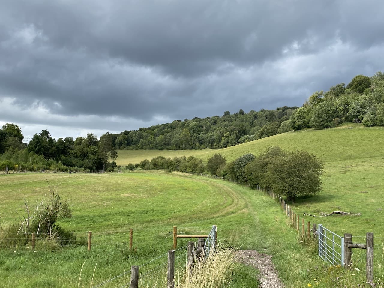
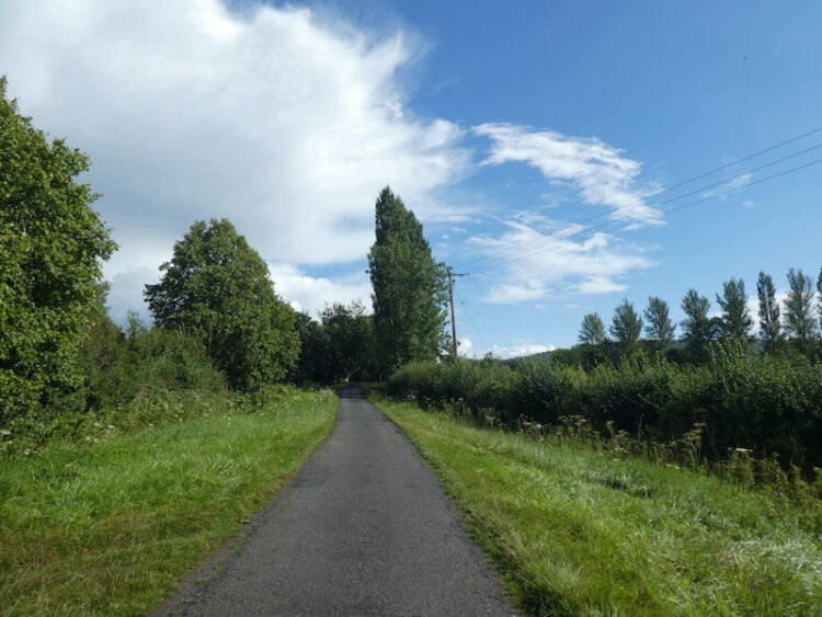
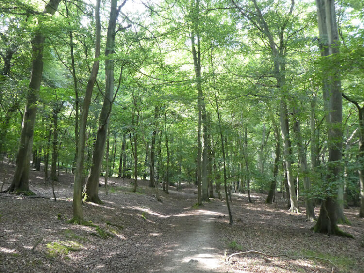
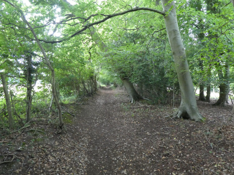
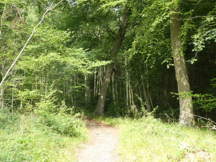
    I set off leaving Cholsey Grange by the farm track heading downhill to the footpath leading into Penley Wood.

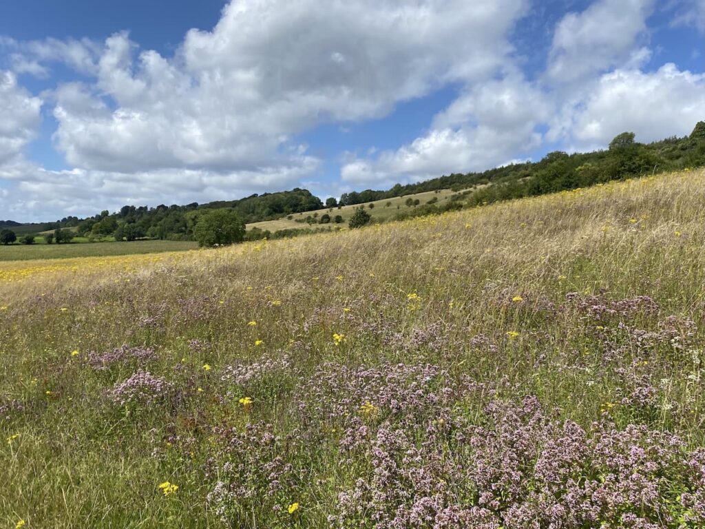
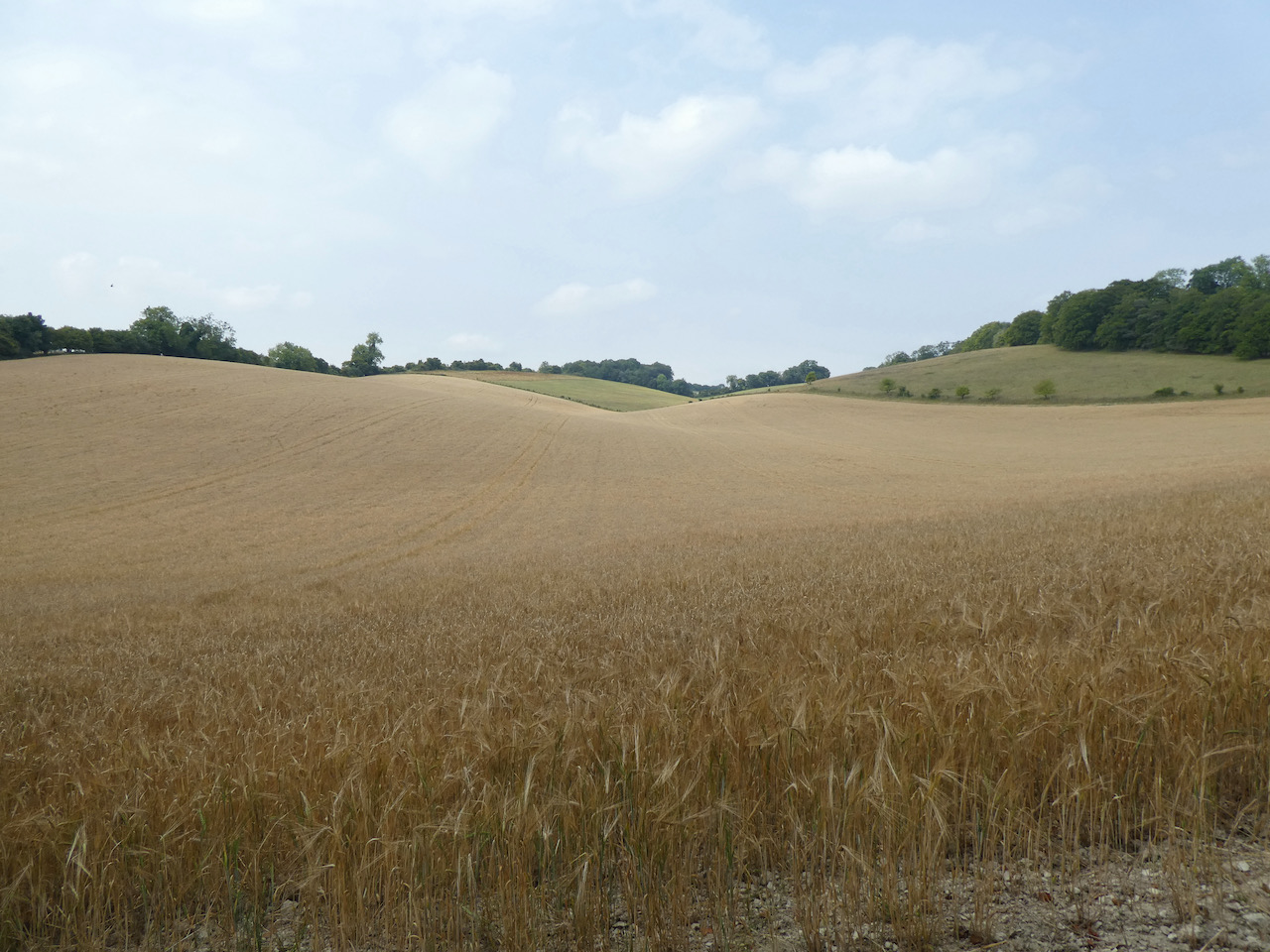
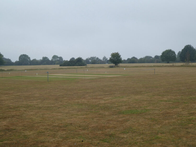
    In the woods I turn left and follow the footpath along the bottom of the valley for 200 metres and then at a junction of paths turn right to head uphill on a steep path.  This is the sort of hill that makes the calf muscles burn and lungs hurt, but I am determined to reach the top without stopping.  The path meets a kissing gate leading into a field.

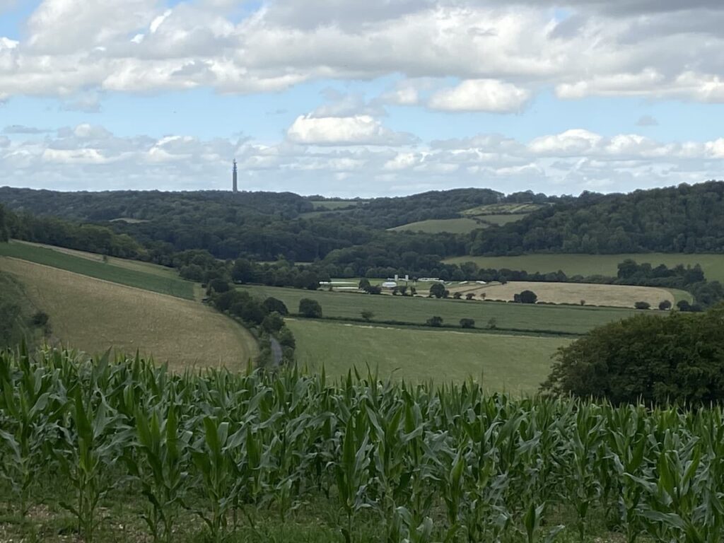
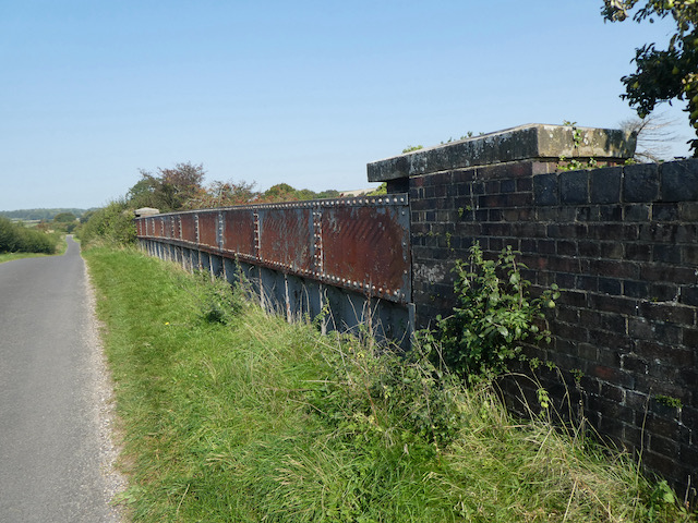
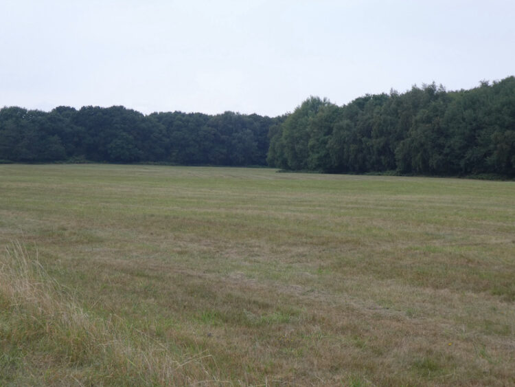
    The route goes directly across the field to the far side and then turns right along the hedge line before going through a gate.  The way-markers then direct me to a fenced path leading to steps up to a minor road where I turn left and cross the M40.  On the far side of the motorway I turn right down a tarmac driveway and after 100 metres turn left onto a way-marked footpath into East Wood.

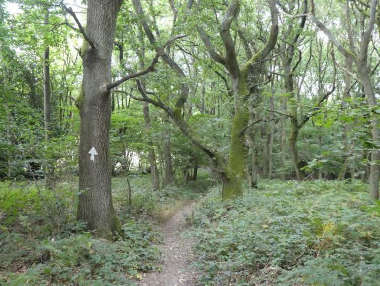
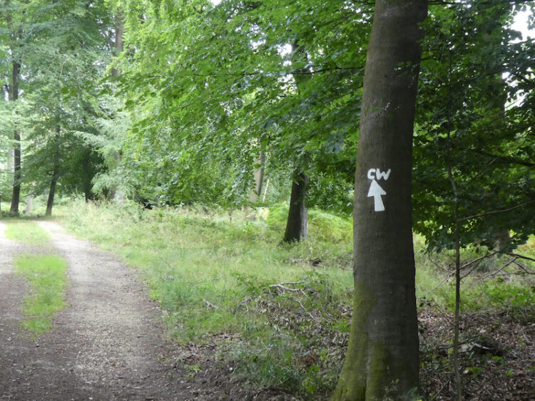
    The footpath through these woods is well marked as it initially heads to the east and then turns towards the north.

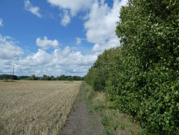
    At a junction of rides the path goes to the right and heads east towards the edge of the woodland.  At a fork in the path I go to the left and stay close to the edge of the woods to reach the A40 which I cross with care and join a footpath on the far side which heads downhill towards a copse.

    The path through the trees leads to a minor lane where I turn left and walk for 300 metres to reach a junction with a track.  Here I turn right towards Ashridge Farm.

    At a junction of tracks close to Ashridge Farm I turn right to take the track leading towards Bottom Wood.

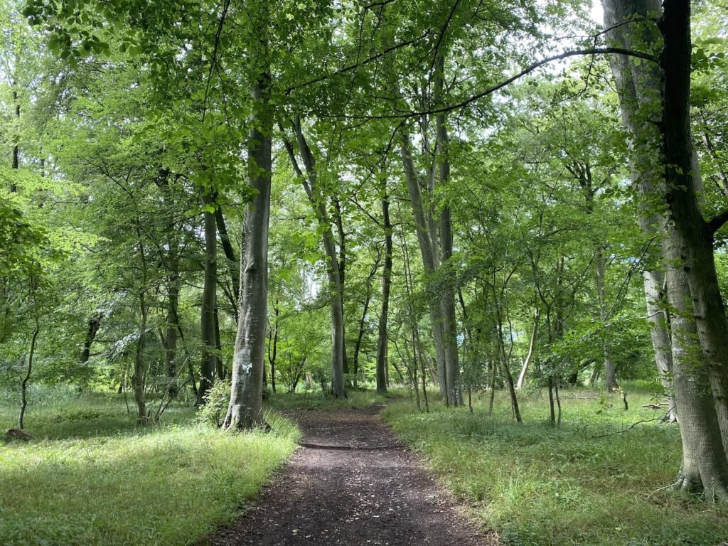
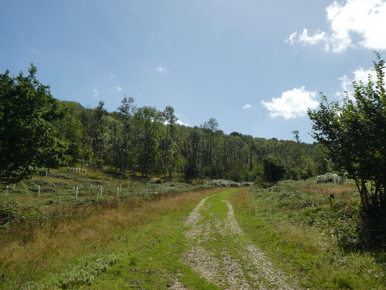
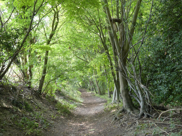
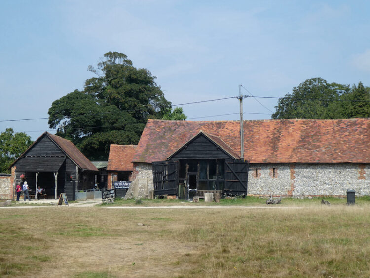
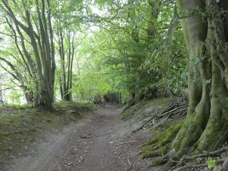
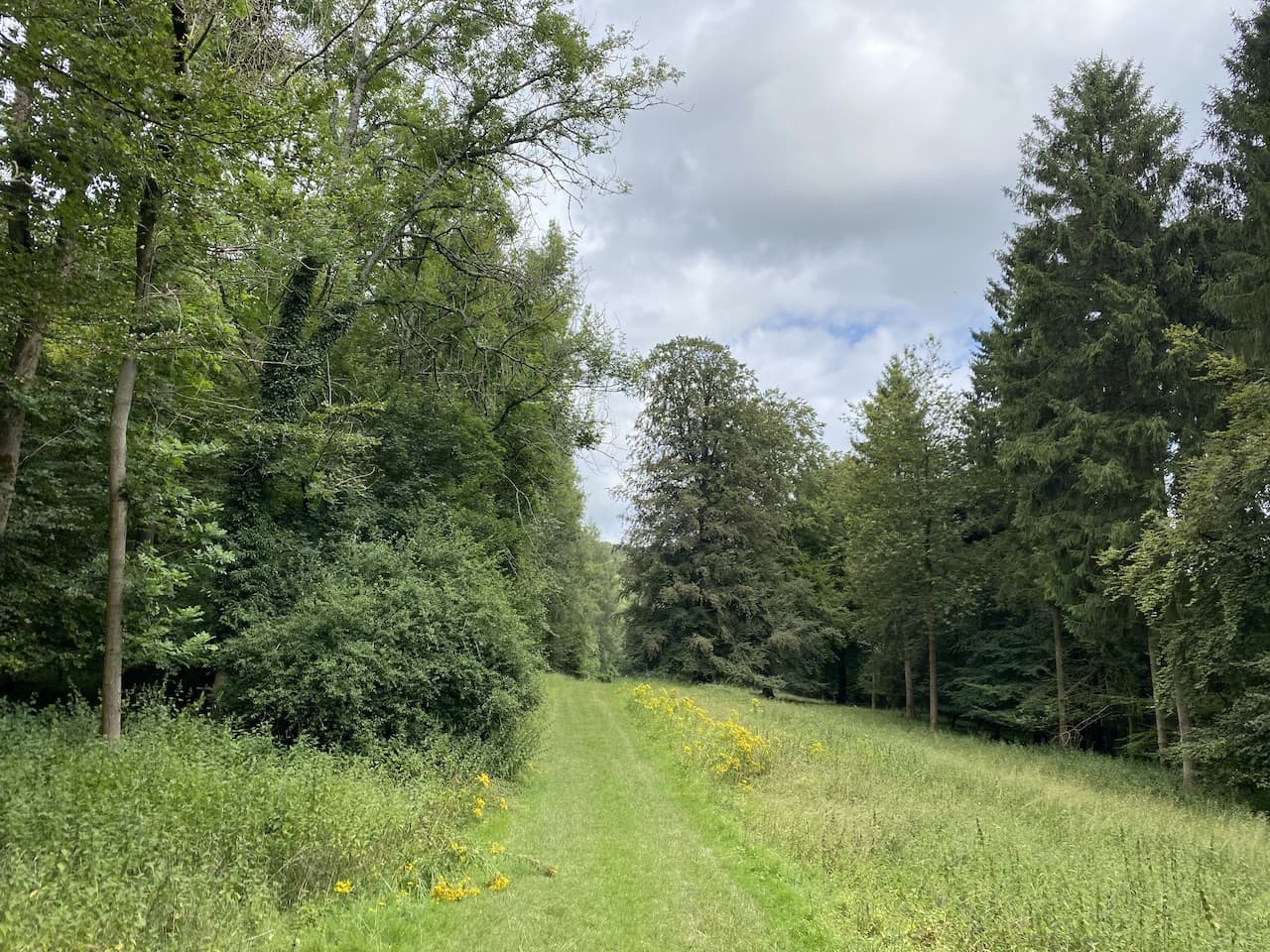
    The track leads to a gate into the woods.  Now I turn left and follow a broad track through this attractive area of woodland.  An information board explains the 36 acre Bottom Wood is owned by the Chiltern Society and was given to the charity in 1984 by nearby resident Cynthia Ercolani.  Later research suggest that Cynthia was the wife of Lucian Ercolani whose family ran the Ercol furniture business based in High Wycombe.

    Staying with the track I go through the bottom of the woods and reach a concrete slab which is covering a well.  Apparently this well is 100 feet deep and was once used to provide water to the nearby hamlets of Beacon’s Bottom and Radnage Common.

    Apparently during World War II much of the woodland was felled to provide wood for Bryant and May to produce matches.  So the majority of the trees here were planted after 1940.

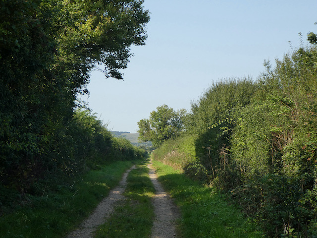
    The route through the bottom of these woods is an old packhorse trail which linked Piddington to Beacon’s Bottom.  After leaving the trees the route continues along a track to reach Ham Farm.

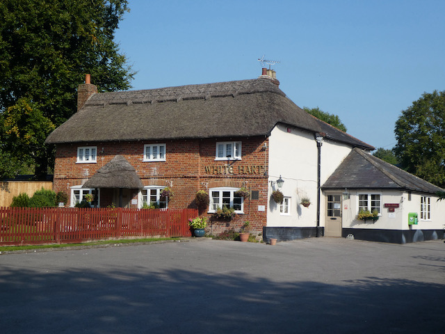
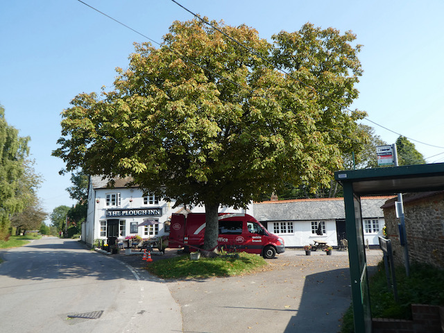
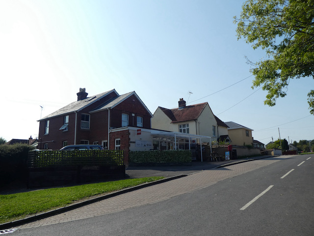
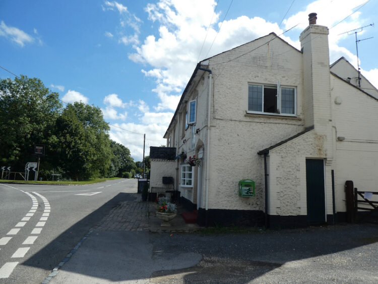
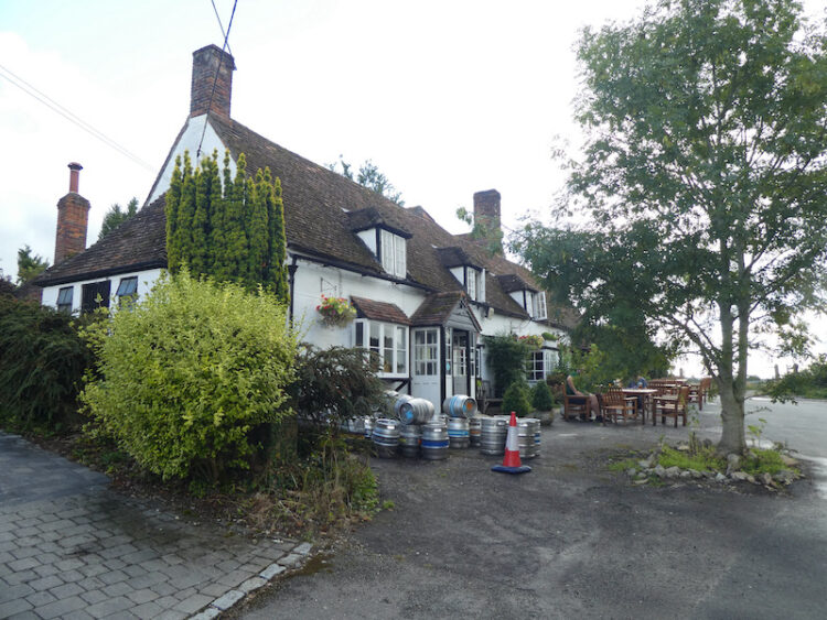
    After passing the farm I reach the A40 and cross to join a minor road opposite which is besides the Dashwood Roadhouse pub.

    After 50 metres I leave the road and turn right onto a farm track heading towards Hillingdon Farm.

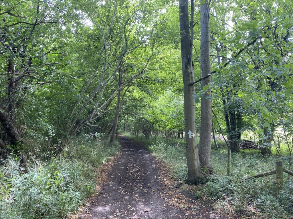
    After passing the farm I continue to reach a crossing of paths, here I continue straight on through a belt of trees towards Barn Wood.

    After 300 metres I reach the edge of Barn Wood at a junction of paths, here I continue straight on through the woodland following a path towards Leygrove’s Wood.

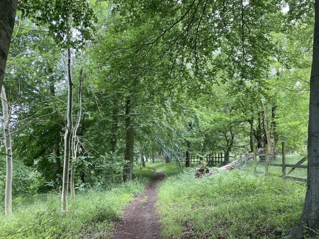
    On entering Leygrove’s Wood I carry straight on now on a broad track.

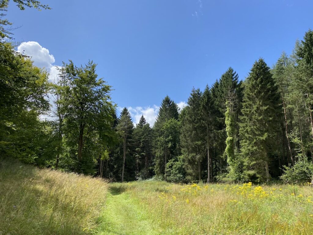
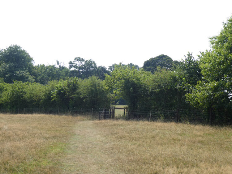
    On leaving the woods I go through a small clearing and then enter the edge of Pound Wood.

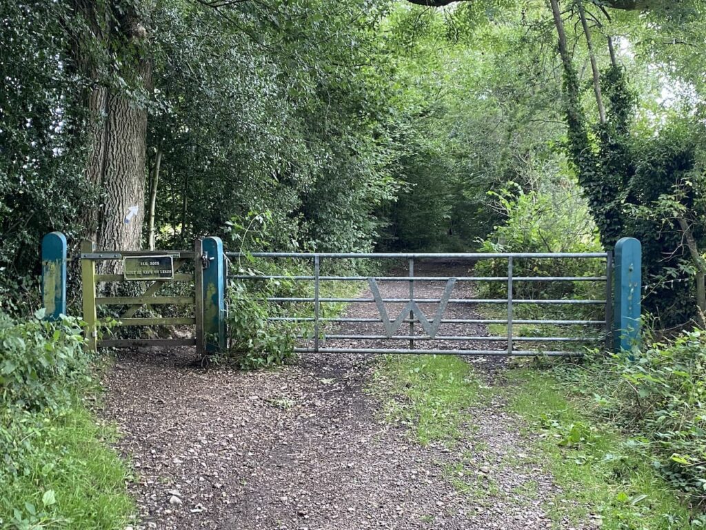
    I stay with the track into Pound Wood and then fork left onto a footpath that heads steadily uphill to reach a tunnel under the M40.

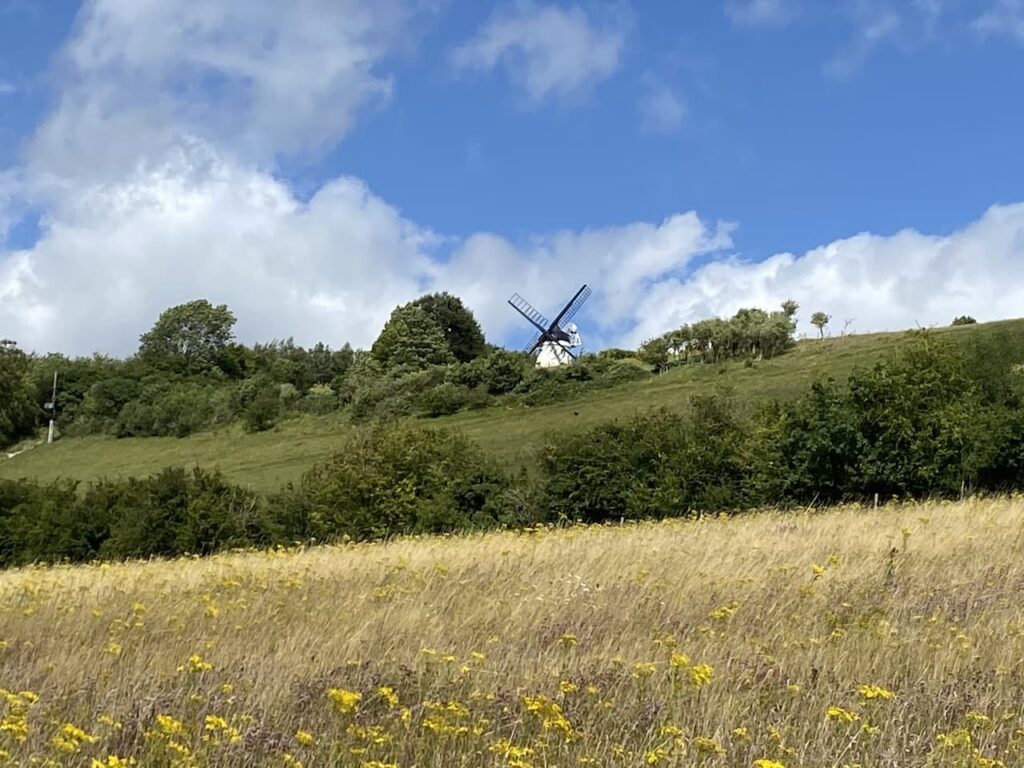
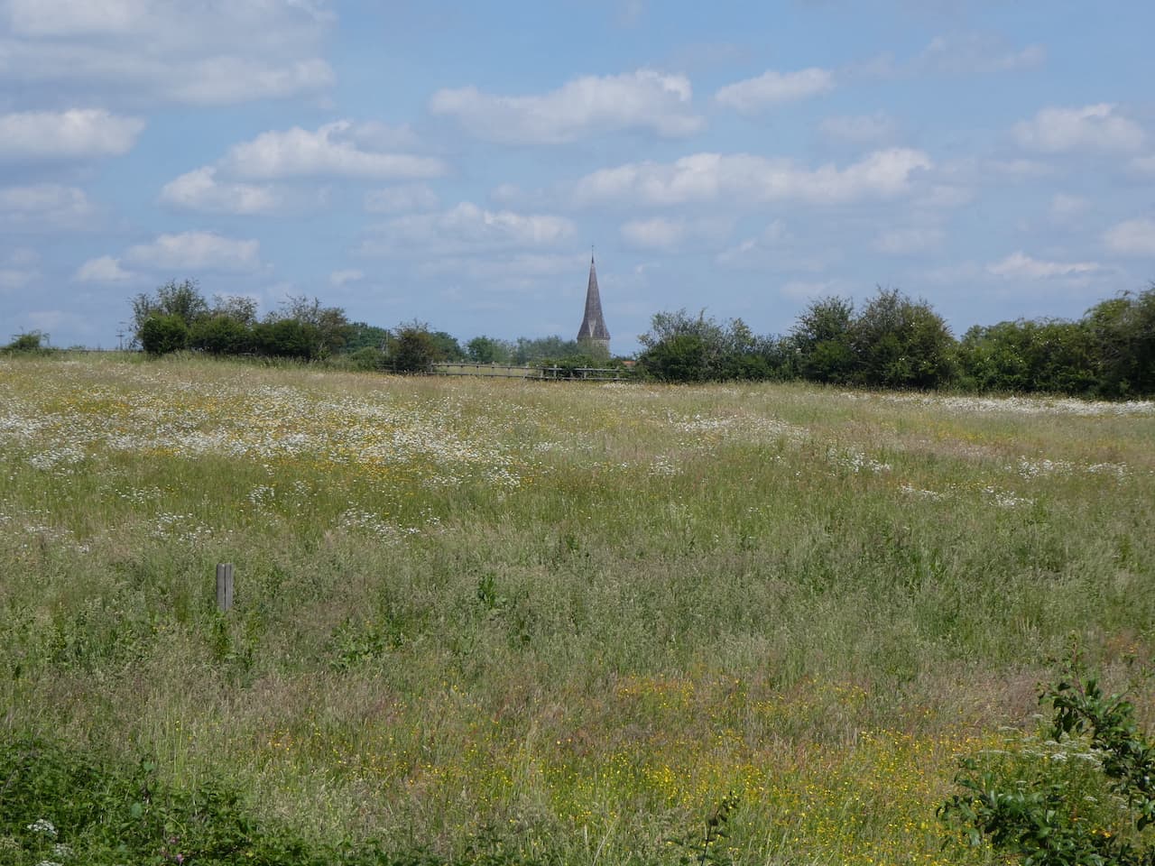
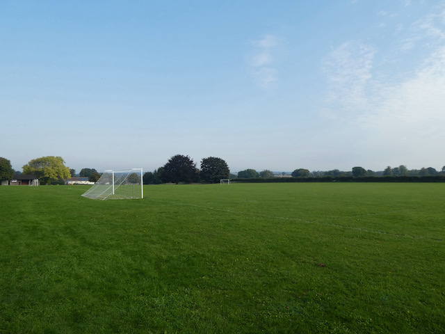
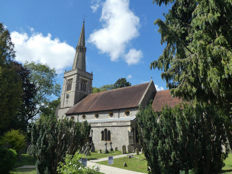
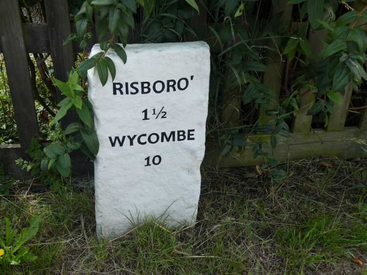
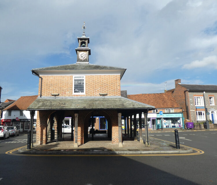
    On the far side of the tunnel I follow the track up to the B482 and turn right to join a pavement and pass a school.  I now cross the road and then a village green and follow the lane into Cadmore End. After passing the church I turn right on a footpath along a track heading out of the village.  

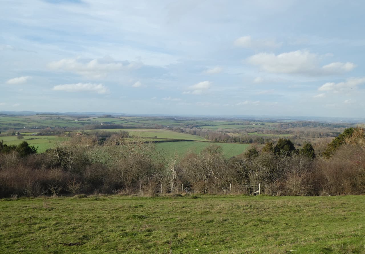
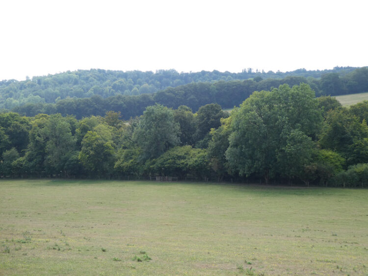
    At a junction of paths I turn left to stay on the track as it heads downhill to reach the edge of Hanger Wood.  Just as I enter the trees the path divides, I take the right fork.

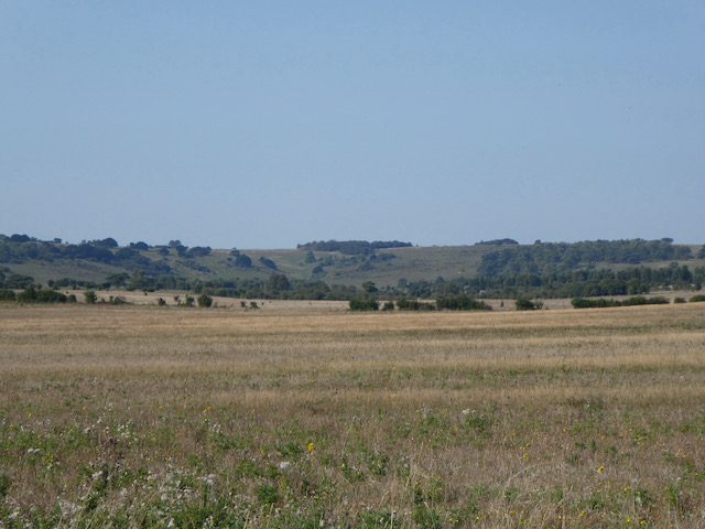
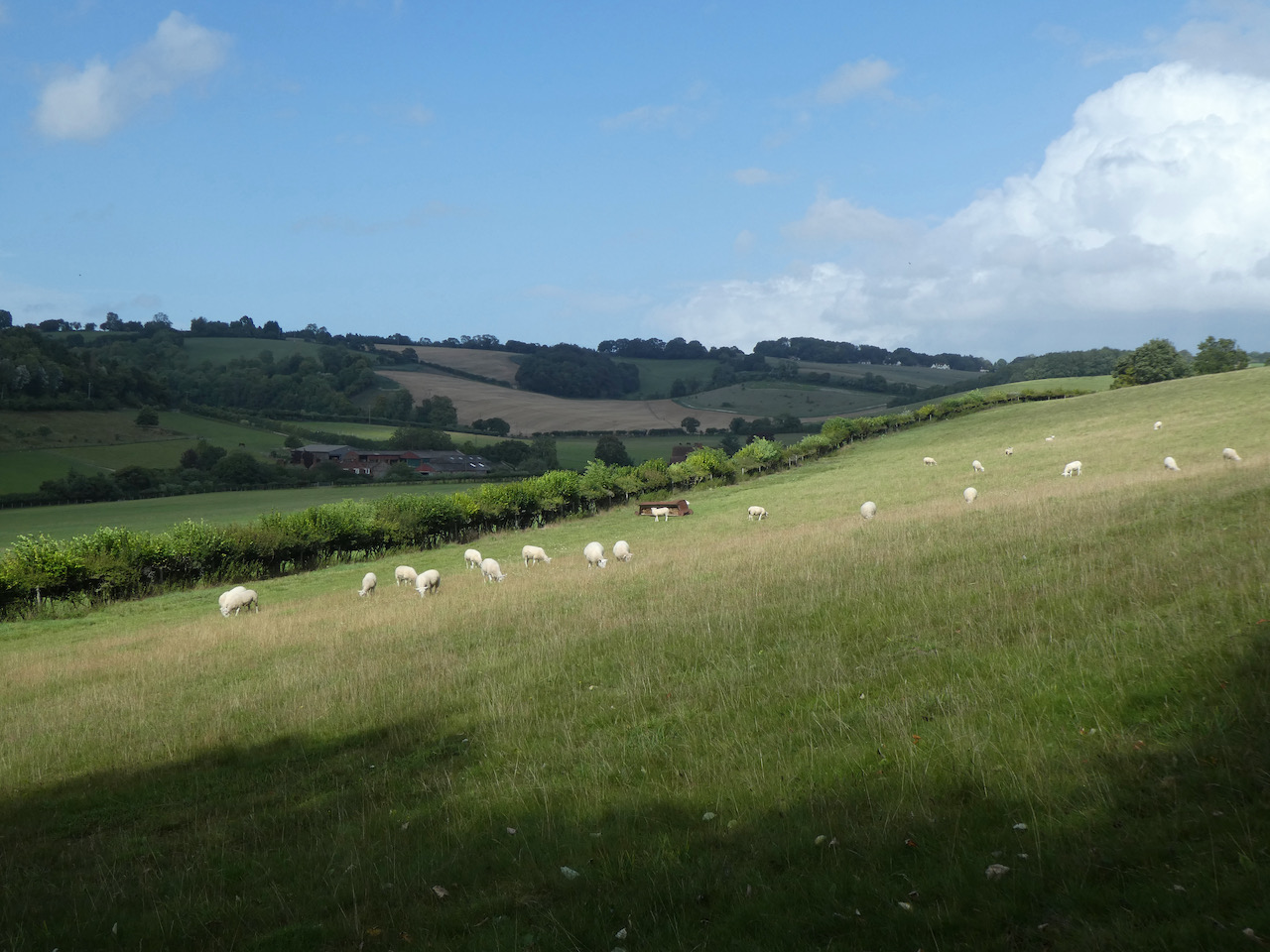
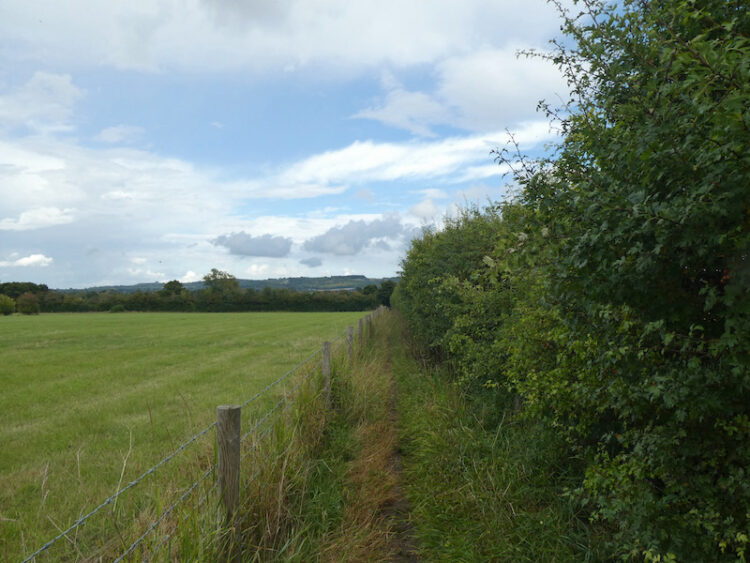
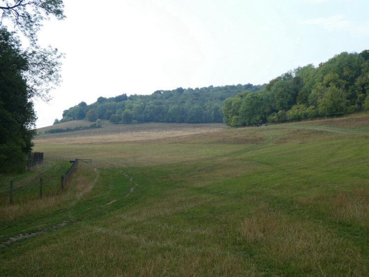
    About two hundred metres further on I take a footpath on the right which heads through the trees before descending to reach a field of pasture.

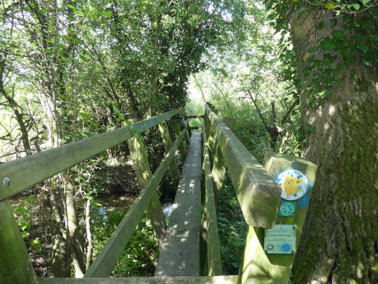
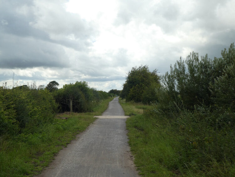
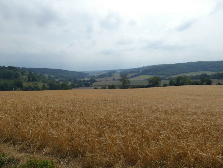
    The path heads along the edge of the field steeply downhill to a minor road, Chequers Lane, where I turn right and then very soon after turn left along a track with footpath way-markers.  I now follow this track through the bottom of the valley towards Twigside Bottom.

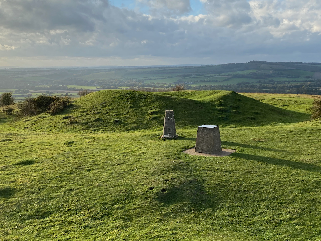
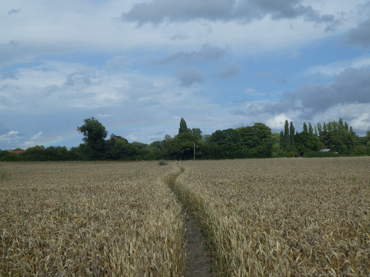
    After a mile and a half on this path I reach a junction of paths at a clearing and turn left to head uphill towards Cholsey Grange.

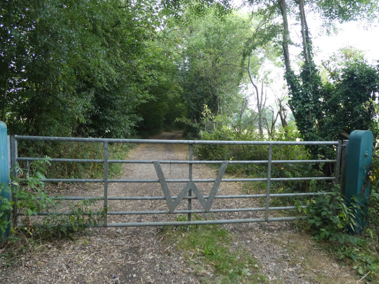
    This path brings me to the metal gate at the south side of the caravan site.  This has been a very interesting 10.5 mile walk in some cracking bits of woodland.  I will have to do another walk to Bottom Wood with Lynnie when she joins me next week.

    You can view this 10.5 mile walk on OS Maps and download the GPX File Here

    To follow my walk you will need Ordnance Survey Explorer Map 171 – Chiltern Hills West

    7th August 2021

    © Two Dogs and an Awning (2021)

    All information on this site is provided free of charge and in good faith and no liability is accepted in respect of damage, loss or injury which might result from it.  To the best of my knowledge the routes are entirely on public rights of way or within areas that are open for public access.
    Walking can be hazardous and is done entirely at your own risk.  It is your responsibility to check your route and navigate using a map and compass.

  • Another Stay At Cholsey Grange

    Another Stay At Cholsey Grange

    When we sit down to plan our caravan travel for a year we like to ensure we visit some new sites and explore different areas.  However, there are two sites that always feature in our travel plans: Brigholme Farm in Giggleswick and Cholsey Grange.  It is August so that means it is time for our annual trip to Cholsey Grange CL.

    As usual we are here for a couple of weeks, but I am on my own for the first week and then Lynnie is joining me for the second, so on arrival I set up solo and then wander out for a few miles.

    Today I am heading off with no set route planned.  I like walking in this way, when I reach a junction of paths I make a choice .  I often just choose a path because I have never walked it.  But over the years I have walked most of the paths around this part of the Chilterns.

    I leave through the gate at the far end of the caravan site.  Joining the footpath I turn left and walk downhill into the bottom of the valley and then turn right to walk through Twigside Bottom.  

    I follow the footpath through the bottom of the valley which is clearly marked with white arrows on trees.

    Then just before reaching a road at Gravesend I turn right on a footpath to head uphill.  Within fifty yards at a fork in the path I go left to follow the path through the bottom of Mill Hanging Wood.  At a junction of paths I continue straight on to reach a minor road.

    After crossing the road I follow a footpath which leads to a kissing gate onto the downland of Turville Hill. 

    Soon to my right I can see Cobstone Mill, built around 1816 the mill was used for grinding cereal until 1873.  It then fell into disrepair before being cosmetically restored in 1967 for the filming of Chitty Chitty Bang Bang.  Apparently in 1971 the actress Hayley Mills and her husband Ray Boulting purchased it and restored it.  The mill is a popular venue for filming and has featured in a number of films and TV programmes.

    The path across the downs leads to a kissing gate which I go through and then immediately turn left through a metal gate and walk into Turville where I turn right and follow the road out of the village.    I soon reach a belt of beech trees on the right and follow a well-used footpath to pass Turville Valley Farm and then cross a minor road.  When I reach a fork in the path I go left.

    The footpath now ascends besides Holloway Lane and then as it starts to level out the route continues along a minor road to reach Northend where I turn right on a track close to the village pond.

    This track leads to a gate into Wormsely Park.  This estate was acquired by Paul Getty in 1985 and has remained in his family ever since.   

    From this track there are fine views over parts of the estate,  in 1992 Paul Getty constructed a cricket ground on the estate which has attracted celebrity matches and has been used by overseas touring teams.  In 2013 it hosted a women’s test match between England and Australia.

    The track soon leads downhill to an estate road which I cross and continue along a track.

    At a crossing of tracks I ignore the option of turning right to return to Ibstone on the Chiltern Way, instead I keep with the track to reach a junction of paths near a clearing and turn right heading uphill.

    This is a long steady ascent through woodland but eventually the path levels out and reaches a gate which I go through and turn right to reach Ibstone Common.  I now cross the common, passing the large standing stone which was erected to mark the Millennium year in 2000.

    I continue across the common and then the village cricket pitch to reach the entrance driveway to Cholsey Grange.

    You can view this 8 mile walk on OS Maps and download the GPX File Here

    To follow my walk you will need Ordnance Survey Explorer Map 171 – Chiltern Hills West

    6th August 2021

    © Two Dogs and an Awning (2021)

    All information on this site is provided free of charge and in good faith and no liability is accepted in respect of damage, loss or injury which might result from it.  To the best of my knowledge the routes are entirely on public rights of way or within areas that are open for public access.
    Walking can be hazardous and is done entirely at your own risk.  It is your responsibility to check your route and navigate using a map and compass.

  • A Circuit From Ashford Hill to Brimpton

    A Circuit From Ashford Hill to Brimpton

    Today I am doing a favour for a mate and dropping him off at a pub so he can meet up with a few of his friends for lunch.  This is no hardship to me because after dropping Stuart off I can lace up my boots and explore a part of the Hampshire countryside I have not previously walked.

    The starting point for my walk is the playing field car park in the village of Ashford Hill (Grid Ref SU 555 621).  Leaving the car park I head north along the side of the playing field and soon join a hedge lined footpath path on the edge of the playing field which leads towards Old Lane.

    On reaching the lane I turn left and head away from the village towards Woodhouse Lane.

    On reaching the road I turn right and then after a couple of hundred yards I take a footpath on the left which is marked by a fingerpost.

    This path forms part of the Brenda Parker Way, which is a 78-mile long distance footpath between Aldershot and Andover.  Apparently for many years Brenda had a major influence on the Hampshire Ramblers Association.  She lobbied for access to land and claiming rights of way under The Countryside Rights of Way (CROW) Act.

    The section of the trail I am now on leads besides fields heading for the River Enborne.

    At a junction of paths I turn right onto a track and follow this to cross the river at Park Gully Bridge.

    I stay with the track for a few hundred yards until I reach a footpath on the right, I take this and head diagonally across a field towards Hyde End Wood.

    The footpath goes along the side of the woods with the garden of a property to the left.  I then stay with the way-markers to reach a lane (Hedge End Lane) and turn right to follow it until I reach a three way junction of footpaths here I turn left and follow the path in a northerly direction towards Brimpton.

    At a fork in the path I go to the right and continue on the path to reach the church where I stop for lunch on a convenient bench in the churchyard.  Despite looking old this church was actually built in 1869, however, one of the church bells does date back to 1624.

    From the church I take the footpath on the southern side of the graveyard and head in a southerly direction towards a road.  Just before reaching the road I take a footpath on the right heading along the edge of a field towards the River Enborne.

    At a junction of paths near to the river I go left to cross a stream and then follow the path as it continues south close to the river.

    It is a pleasant afternoon for walking, but I haven’t seen any other walkers since setting off.  The path I am on is clearly well walked so it is surprising that no one else is around.  On reaching a footbridge I cross the river and enter Inwood Copse.

    The path continues through the woods close to a stream to reach a minor road which I cross and continue heading south besides woodland.

    After crossing a stile the path continues besides paddocks and then enters Ashford Hill close to Brook Farm.

    At a junction of tracks I turn right into Old Lane.  Reaching the point where I left the village playing field I turn left and head along the hedge lined path to the playing field and my starting point.

    It has been a pleasant walk of just over five miles, so my timing is just about right to pop back and pick Stuart up from his pub lunch.

    You can view this 5 mile walk on OS Maps and download the GPX File Here

    To follow my walk, you will need Ordnance Survey Explorer Map – 158 Newbury & Hungerford

    15th June 2021

    © Two Dogs and an Awning (2021)

    All information on this site is provided free of charge and in good faith and no liability is accepted in respect of damage, loss or injury which might result from it.  To the best of my knowledge the routes are entirely on public rights of way or within areas that are open for public access.
    Walking can be hazardous and is done entirely at your own risk.  It is your responsibility to check your route and navigate using a map and compass.

  • Stockbridge Down

    Stockbridge Down

    A few days ago I was chatting to a neighbour and they mentioned walking on Stockbridge Down with its wonderful views.  I confessed to not having visited the location despite it only being about twelve miles from home.  I have driven past many times and seen the busy car park and that has put me off, I prefer to walk in quiet locations. 

    After looking at the map I plotted a route starting in Stockbridge that visits the downs.  Lynnie and I are off today to see if the views are as wide ranging as promised.  The starting point for our walk is the parking lay-by on the edge of the town besides the A30. 

    We head south back towards the town and cross the road at the roundabout besides the White Hart public house and then take Trafalgar Way besides the pub.  As the road turns to the right we continue straight on the route of the Test Way.

    For a number of years I have considered walking the forty-four mile route of the Test Way from Ink Pen Hill, south of Newbury, to Southampton Water at Ealing.  At the end of 2019 I started making plans with my long distance walking buddies to set a couple of days aside to do the walk in 2020, however the Covid-19 pandemic has meant our plans are on hold.

    This section of the walk follows what was the route of the Andover to Redbridge railway line.  Opened in 1865 the line was apparently known as the Sprat and Winkle Line, the origins of which are unclear.  Like many other railways built in the mid 1800’s it followed the route of a canal.  The Andover and Redbridge canal was completed in 1794 and operated for 63 years before the canal company decided the future was in railways.  They changed the company name to the Andover and Redbridge Railway company and set about filling in the canal and laying tracks.

    During World War I and II the railway was used to transport troops from their training camps on Salisbury Plain to the docks at Southampton and being a rural line also transported agricultural goods.  It was one of the lines that fell victim of the “Beeching Cuts” and ceased to operate in 1963.

    We stay with the Test Way for just over two miles to reach a junction of footpaths where the Clarendon Way crosses the Test Way, here we turn left and walk steadily uphill on a track following the route of the Clarendon Way.  After passing How Park Farm the track soon becomes a tarmac driveway.  Since I last walked here the farmer has considerately moved the fence line so there is a wide verge for the many walkers who follow this route to walk safely off the road.

    As we approach the junction with Down Drove Hill we take a footpath on the right, which goes through a kissing gate and descends steadily to the edge of King’s Somborne.  

    After going through another kissing gate the path goes down steps to join Cow Down Hill where we turn right and walk into the village.  Our route is to follow the Clarendon Way, however first we take a slight diversion to wander into the centre of the village to look at St Peter and St Paul’s church with its interesting tower and short steeple.

    Leaving the church we cross to take a look at the village information board on the wall of the Crown Inn.  I don’t think I have been in this pub for over forty year, perhaps when things return to normal we will come out here for a bite to eat.  It gets good reviews. 

    From the pub we walk briefly on the pavement besides the A3057 and then turn right into Old Vicarage Lane and cross a stream close to the Corner Stores.

    We are now on Winchester Road and follow this east through the village until we reach a junction with New Lane, here we turn left over the footbridge besides a ford.

    The lane ascends steadily and then just as we near the A3057 we take a Permissive Footpath on the right that goes along the edge of the field with the hedge to our left and avoids having to walk besides this busy road.  It is always welcome to find a farmer that has been considerate.  These days when edges of fields are so often left as wildlife margins it makes little difference to crop yields and means that walkers can safely join paths and avoid traffic.

    After 150 yards on the Permissive Path we go through the hedge line to join a footpath where we turn right, walking away from the A3057, to head through a spinney.

    The footpath soon opens out to walk along the edge of arable land.

    After a couple of fields we enter the edge of North Park Wood and follow the path through the trees.  This is an attractive stretch of woodland with the Hazel looking ready to coppice.

    The path then runs along the edge of North Park Farm to reach a minor road where we turn left and then after fifty yards we take a footpath on the right to walk along the edge of a field with woods to our right.

    Following the path into the next field the woodland is now on our left and then we go through a copse to reach the B3049 which we cross with care to go through a gate onto Stockbridge Down.  This is open access land owned by the National Trust and covering 172 acres.  Our route is to follow a footpath in a north easterly direction though the shrubland with the path soon descending steadily towards a gate.

    A few yards before reaching the gate we turn left and follow a broad grassy path heading steadily uphill towards Woolbury hill fort.  The path goes around the ramparts of the iron age hill fort with some stunning views over the surrounding countryside.

    From the hill fort we follow a path heading south westerly across an open area heading back to the corner of the access land.

    After going through a gate we cross the B3049 and walk along a minor road, Somborne Park Road, for 600 yards to reach a footpath on the right

    This is a clear well-made path along a wide track so easy to follow.  Just after passing a large red barn the track goes into woodland.

    Emerging from the wooded area we pass a barn in the midst of conversion and then follow a track as it continues to go downhill to pass Home Farm and then the entrance to Steepleton House.  A few yards further on we reach the A3057 and turn right on the wide verge.  There is then a short section of just over 100 yards without a verge to reach a lay-by on the left.  Here we take a path that leads down through trees to reach a minor road where we turn left.  After 100 yards we turn right into a small car park and go through this to cross the Test Way and then through a gate onto Common Marsh.

    This is an open access area popular with dog walkers.  We stay along the northern boundary and soon take a footpath on the right to cross the Marshcourt River.

    Our route now follows the footpath into Stockbridge with the final section going besides a stream.

    Stockbridge is said to be one of the smallest towns in the Country.  In the past the High Street was littered with pubs, now it is full of cafes and high end art and craft shops.  Normally at this time of year the place would be buzzing with Christmas shoppers, but due to the lockdown things are relatively quiet today.

    Our route is east along the High Street to the roundabout where we go left besides the A30 to return to our starting point.  Our walk has covered 11 miles and the views were as outstanding as my neighbour had promised.  I am sure we will be returning to Stockbridge Down again soon.

    You can view this 11 mile walk on OS Maps and download the GPX File Here

    To follow my walk you will need Ordnance Survey Explorer – 131 – Romsey, Andover & Test Valley

    24th November 2020

    © Two Dogs and an Awning (2020)

    All information on this site is provided free of charge and in good faith and no liability is accepted in respect of damage, loss or injury which might result from it.  To the best of my knowledge the routes are entirely on public rights of way or within areas that are open for public access.
    Walking can be hazardous and is done entirely at your own risk.  It is your responsibility to check your route and navigate using a map and compass.

  • In the Meon Valley from Old Winchester Hill

    In the Meon Valley from Old Winchester Hill

    I am out walking today in the Meon Valley with my walking buddies Mandy and Nigel.  This is an area that I don’t really know.  I passed through the valley whilst walking the South Downs Way in 2018, but I have not explored much off the National Trail so it is bound to be an interesting day.  

    The current pandemic restrictions mean that once again Mandy and I travel in convoy to our starting point, a car park on Old Winchester Hill (Grid Ref: SU645214) where we meet up with Nigel.  Mandy and I live in the same village so we see each other regularly, but it is a while since we have seen Nigel so a day’s walking will be a good chance to catch up.

    Leaving the car park we head north on the route of the South Downs Way which runs besides the road.  When the road reaches a junction we leave it and turn right on the route of the South Downs Way to enter a field and head downhill.  I have vivid memories of walking down this hill whilst walking the South Downs Way because I had an encounter with a frisky herd of cattle.  Fortunately today there are none in sight.

    The route leads us through a gate and along a track to reach Whitewool Farm, here we turn left on a farm drive and follow it through fishing lakes at Whitewool Pond.

    We stay with the South Downs Way route and turn right along a minor road and then just after passing Hall Cottages we take a left to join a concrete driveway with heads steadily uphill.  On reaching a crossing of paths we turn right into Halnaker Lane.  

    We are still on the South Downs Way and keep with it as it crosses a minor road at Coombe Cross and starts a steady ascent of Salt Hill.  There is an OS trig pillar on the reservoir to our right, I bagged this in 2018 so do not need to re-visit and Mandy and Nigel don’t share my enthusiasm for these structures so we continue without delay.  There are stunning views from this path with cracking contours away to our right.

    A feature of walking with Nigel is the requirement to stop for elevenses, this does not need to be at 11.00, just at an appropriate time where a spot can be found. Today it a pile of logs just short of a road junction.  Refreshed we continue our walk reaching Droxford Road where we turn right and then almost immediately take a footpath on the left to walk besides the edge of the Leydene Sustainability Centre on the Leydene Estate.

    According to the East Meon history group website Leydene House and estate were created in 1913 by William Peel and his wife Eleanor.  Lord Peel was a politician and his responsibilities included chairing the Peel Commission which recommended the partitioning of Palestine.

    During World War II the estate was occupied by the Royal Navy and served as HMS Mercury the Royal Navy Communications and Navigation School from 1941 until 1993.  The estate has now been sold off with a part of it becoming a Sustainability Centre running courses and other “sustainable” activities.  These include a natural burial ground and we fork left on a footpath taking us through the graves and memorials and then follows a fence line at the southern edge of the woodland.  On reaching a minor road we turn right and head downhill to reach Hyden Farm.

    In the farmyard beside the road is a wonderful collection of old farm machinery.  I am fascinated by such objects.  Whilst I am looking the farmer wanders across the yard, he is more than happy to tell us how he has pulled discarded implements out of hedgerows around the farm and restored them.  

    We stay with this minor road to reach the Bat and Ball pub opposite the Hambledon cricket ground.  As every cricket enthusiast knows Hambledon Cricket Club had a major influence on the game.  It was formed in 1750 and is credited with developing the laws of the game and introducing the third stump and regulating the width of bats.  Some will tell you this was where cricket was founded, but the village of Slindon in West Sussex has a different view and claims to be the originator of the game.

    However, there is no doubting that Hambledon did have a role in making the laws of the game and it was it the Bat and Ball pub where club meetings were held and the laws were drafted.

    We turn right at the crossroads and follow the road signposted to Hambledon and Fareham.  In a couple of hundred yards we reach a footpath on the left, opposite a minor road on the right, and climb a stile to enter a field.  

    The path heads uphill on Broadhalfpenny Down, we are now on the route of the Monarch’s Way and there are cracking views as we look back after crossing another stile.

    The way-marked path soon leads into a belt of trees and becomes a clear track.

    Emerging from the trees the track becomes hedge lined as it reaches the top of the downs.  Soon on our right is the Broadhalfpenny Down Ordnance Survey trig pillar, this is the 228th I have bagged.

    From the trig we continue along the track and then turn right to keep with the Monarch’s Way and keep heading east at the next junction and then after a few more hundred yards turn right towards Glidden Farm. We follow the lane as it sweeps to the left passing the farmhouse and then stay with it as it turns right to reach a junction.  Here we go left on Glidden Lane and follow this downhill to reach the outskirts of Hambledon where we turn left and walk into the attractive village to reach the shop, Peoples Market, where we turn right towards the church.

    Parts of the church of St Peter and St Paul date back to around 1160 and the porch and tower were added in the 13th century.  However, the tower was rebuilt in 1794 following a fire.  It is a fine looking building and has the added bonus of a suitable bench in the churchyard which we can use as a lunch spot.

    After lunch we leave the churchyard by a footpath in the north west corner and follow this through the church car park and then continue heading west along the edge of a field to reach houses.  Here we continue across a green to reach the B2150 where we turn right and then very quickly cross the road to take a footpath on the left.  We are now on the route of the Wayfarer’s Walk and we follow it uphill through trees to reach a field which we cross to pass a pond.

    After crossing another field we reach an old metal kissing gate besides a minor road.

    We cross the road staying on the Wayfarers Walk as it heads towards trees and then fields to reach Soberton.  In the village we pass the village hall and continue on to the church of St Peter where we wander around the churchyard.  This church originates from the 13th century with the tower added in 1525.  It underwent restoration in 1880.  In the churchyard is a coffin said to be of Roman origin that was discovered in a local field.

    From the church we take a minor road heading towards the River Meon.  We had hoped to join the path running along a disused railway line, however, it is not accessible from here, so instead we take a footpath on the right which enters a field of pasture besides the River Meon.

    The path stays close to the river and we ignore two footpaths leading off to the left and then at a junction of paths close to a footbridge we turn right and then left to follow a path parallel to the old railway line.  We stay with this path to reach Mill Lane and then turn right and almost immediately right again before reaching the railway bridge. On reaching a five bar gate we go through and turn left along the disused railway line.

    We head north along the route of the old railway line soon passing the fence of a private house which was once Droxford Railway Station.  Apparently in 1944 Prime Minister Winston Churchill used Droxford Station as his base during preparations for the Normandy landings and had an armoured carriage in a siding here. On 14th June 1944 Churchill met here with the Free France leader Charles de Gaulle.

    The old Meon Valley Railway covered twenty-two miles between Alton and Fareham and closely followed the route of the River Meon.  It opened to passengers in 1903 but closed in 1955 because of a fall in passenger numbers, this was well before Beeching reaped havoc with the rail network.

    We stay with the disused railway line for two miles leaving where the route of the South Downs Way crosses the track.  Here we turn right and at a junction of paths follow the  South Downs Way signs, we soon start to ascend enjoying some cracking views.

    We reach Old Winchester Hill Nature Reserve and follow the path along the edge of woodland still heading uphill to emerge on the edge of the ramparts of the hill fort of Old Winchester Hill.  This is a cracking spot, I can vividly remember reaching this point when walking the South Downs Way.  

    There is an Ordnance Survey trig point on this hill which I have bagged before.  Close to the trig is a Toposcope which allows us to pick out points on the horizon.

    This is open access land but we stay with the route of the South Downs Way which is joined by the Monarch’s Way close to an information board.  The contours on the escarpment to our left are cracking.

    We continue on the route of the South Downs Way heading uphill besides a track and then as it nears a road turn left to return to our starting point.

    Our walk has covered just under 18 miles, or in Nigel’s language 29.5 kilometres.  It has been a cracking walk with some stunning scenery and interesting history.

    To follow my walk you will need Ordnance Survey Outdoor Explorer OL3 Meon Valley

    You can view this 18 mile walk on OS Maps and download the GPX File Here

    20th October 2020

    © Two Dogs and an Awning (2020)

    All information on this site is provided free of charge and in good faith and no liability is accepted in respect of damage, loss or injury which might result from it.  To the best of my knowledge the routes are entirely on public rights of way or within areas that are open for public access.
    Walking can be hazardous and is done entirely at your own risk.  It is your responsibility to check your route and navigate using a map and compass.

  • Wandering Around The Wallops

    Wandering Around The Wallops

    My car is booked in for it’s annual service today, not that it has done many miles since the last service.  But nevertheless the requirements of the warranty mean things need to be checked over.  I will use the opportunity to go for a walk around the Wallops.

    My walk starts at Pinchbeck’s Garage in Middle Wallop  and I leave to pass the George pub and then turn left along Farley Street and follow this lane through the village to pass the Chapel House and a fine old barn at Hay Down Farm.

    Just after passing the barn I turn left into School Lane and then after  a short distance, before reaching the school, turn right on a footpath that goes behind houses to cross a tarmac lane and then along the edge of fields.

    On reaching a lane I turn right and go downhill turning left to pass the Village Green of Nether Wallop with the Wallop Brook running along its northern side.

    I am now on Heathman Street and follow this into Nether Wallop.  On reaching the Old Post Office on the left I take a right turn into The Square to cross Wallop Brook and then turn left into Church Lane and follow this to reach St Andrew’s Church. Originally built in the 11th century the church went through major changes in the 14th century and apparently the tower was rebuilt after it fell down in 1704.  I am unable to go inside, but have read that it contains parts of a mural which have been dated to precede the Norman conquest.

    In the churchyard there is an unusual pyramid shaped memorial commemorating Fred Dowse who died in 1760 and Anne Dowse, 1757.

    I leave the church on a footpath heading south, this goes uphill and soon joins a lane, Church Hill.  I walk along the lane as it heads south away from the village.  One of the houses I pass has an ordnance survey benchmark and I happen to meet the owner by his gate.  Needless to say he did not share my interest in benchmarks so there was not an opportunity to view it. 

    I stay with the lane to pass Berry Court Farm and then near a barn take a footpath on the right heading across a field to reach Nether Wallop playing field.

    From the playing field I pass through houses to reach Five Bells Lane where I turn right and then almost immediately turn left into Ducks Lane.  On reaching a road junction I take a footpath opposite going along the edge of fields.

    This path leads to Bent Street where I turn right to go through the village passing attractive thatched cottages to reach Farley Street where I turn left and walk back towards the George Inn.  I know the car service will not yet be completed so I take a left and follow the pavement besides the A343 and then turn right into Salisbury Lane and stay with this to reach Station Road where I  turn left and pass the White Hart pub.

    I stay with Station Road through Middle Wallop and just as I leave the village I take a lane on the left, Pottery Drove, and follow this past Croft Farm and then continue along a track.

    At a junction of tracks on the edge of Ministry of Defence restricted access land I turn right and follow the track as it heads north to Palestine.

    At a junction with Mount Carmel Lane I turn left and follow it to Zion Road where I turn right and follow the lane into the village.  At a junction with Mount Hermon Road I turn left and shortly after as the road sweeps to the right I continue straight on along a lane which soon crosses the railway line.

    Staying with the lane I reach a junction with the Portway, a Roman road, I follow this as it goes to the right and then cross the B3084 and continue past Manor Farm Dairy.  Last year I walked a long a track which runs parallel to this road but closer to the hillfort of Quarley Hill.

    This is a quiet lane and I do not encounter any traffic as I continue on to pass Oakleigh Farm and then at a fork in the road go right to soon turn south heading into Grateley.  At a fork in the road with an impressive horse chestnut tree I go right and follow the lane past the village graveyard to reach the Norman church of St Leonard’s.

    It is a cracking day and I avail myself of a bench in the graveyard to stop for lunch.  Resuming my walk I pass Manor Farm and the interesting Silo House.  I cannot recall previously seeing a grain silo that’s been converted to a house.  I am sure it is an interesting place to be in a hail storm.

    At a junction I turn left into Station Road and stay with this through the village to pass the school.  This leads into High Street and on reaching the Plough Inn I turn right.

    I now head along Chapel Lane which leads to a track, Georgia Lane, and follow this under the railway line.  The track now goes to Great Vinels Copse. 

    The path continues along the edge of Upper Grateley Wood and I follow this to reach a junction of tracks where I turn right and head towards Oklahoma Farm.

    I pass the farm and cross Old Stockbridge Road and then join Park Drove and head south towards Park Farm.  Just before reaching barns I take a footpath on the right across a field.

    The footpath then follows a hedge lined route between fields heading south towards Wallop.  After crossing a minor road I continue on to a junction of tracks where I turn right and soon reach a tarmac lane.  At a junction I turn left and follow this lane past the village shop.

    At a junction by the War Memorial I turn left into Station Road.  Within a few yards I take a brief diversion to visit the Church Sunday School Hall to seek out the OS benchmark that is cut into the wall.  It is years since I last visited this hall, then it was for a cricket tea whilst playing a match on the nearby playing field.

    Rejoining the road I walk through the village to return to the crossroads and my starting point at Pinchbeck’s garage.  The car is ready for collection and I pay my bill thinking, not for the first time, how grateful I am for deciding to buy a Ssang Yong rather than another Landrover.

    You can view this 14 mile walk on OS Maps and download the GPX File Here

    To follow my walk you will need Ordnance Survey Explorer Map 131 Romsey, Andover & Test Valley

    16th September 2020

    © Two Dogs and an Awning (2020)

    All information on this site is provided free of charge and in good faith and no liability is accepted in respect of damage, loss or injury which might result from it.  To the best of my knowledge the routes are entirely on public rights of way or within areas that are open for public access.
    Walking can be hazardous and is done entirely at your own risk.  It is your responsibility to check your route and navigate using a map and compass.

  • Fawley and Stonor Park

    Fawley and Stonor Park

    Last year whilst staying at Cholsey Grange CL I did an interesting walk from the site which took me to the deepest well in the Chiltern Hills in the village of Fawley.  When Lynnie saw the pictures she asked if we could do the walk together this year.  So today we are heading off to Fawley, we will vary the route so we can go through Stonor Park, a place I have previously walked  but Lynnie has not visited.

    We leave Cholsey Grange via the entrance drive to Ibstone Common.  We cross the road and join Gray’s Lane and follow this minor road past the Cricket Pavilion and  continuing along the lane besides the common.  Reaching a house on the left we take a footpath that descends steeply into woods  to follow the well-worn track through the trees.

    We ignore footpaths off to the left and stay with the path until it reaches Ibstone Church where we head through the graveyard to the church car park.  

    From the car park we turn right to head downhill on a minor road and then take a footpath on the left along a clear path on the edge of woodland.  We ignore a footpath on the left and then within a few hundred yards take a right and follow the path between a fence line and woods.  The path sweeps to the right still following a fence line to reach a kissing gate

    Through the gate the clear path heads steadily downhill through trees and bushes to reach a gate on the edge of Access Land. We turn to the right and walk a short distance to another gate leading to a clear path across a field towards Turville.

    On reaching the road in the village we turn left and pass the village church to turn right on a lane between cottages.  This lane soon becomes a track and we ignore a path on the left and then one on the right before taking a way-marked footpath on the left cutting diagonally across a field.

    On reaching a tarmac lane, Dolesden Lane, we turn right and walk along it for a few hundred yards and then as it sweeps to the right continue straight on to follow a broad track through the base of Poynatts Wood.

    The footpath continues on through Kimble Wood and on reaching a crossing of paths we turn left and head uphill to cross a field to reach a minor road.

    We carry straight on to follow a country lane signposted to Fawley and Henley.  As we near Fawley we pass the site of the now permanently closed Walnut Tree Inn.  The pub was opened in the early 1960’s by the local brewing company Brakspears but closed in 2003 and now stands in a poor state of repair.  The local villagers have fought a long campaign to get the pub re-opened; sadly it still looks like there is a long way to go.

    We stay on the lane to reach Fawley Green where there are some convenient benches to stop for lunch.  At the east side of the green is the Victorian village well, it is said to be one of the deepest wells in the Chilterns.  I have read from two separate sources that this well is either 397 feet or 338 feet deep.  Quite deep, having lived close to Salisbury Cathedral for most of my life I judge height and depth against the Cathedral Spire, which as I was taught in school is 404 feet tall.

    From the well we go to the west side of the Green and continue on the lane through the village, soon passing the village hall.  A bit further along we come to St Mary’s Church with its attractive flint exterior.  Apparently parts of the church date back to the 12th century, but the tower was added in the 16th century and chancel rebuilt in 1748.  Further restoration work was carried out in the early 1880’s.

    In the churchyard are two large mausoleums.  One apparently dates from 1750 and was constructed as a family tomb by James Freeman of Fawley Court.

    The second is housed behind an iron fence and was apparently built out of Aberdeen granite in 1862 by the Mackenzies also of Fawley Court.

    From the churchyard we turn right leaving the village on Dobson’s Lane, at a footpath sign on the right we turn into a farm driveway and take a path heading by some life size models of cows. 

    Entering a field the path goes diagonally to a stile, I point out to Lynnie that in the fence line there is an Ordnance Survey trig point.  I have previously “bagged” it and Lynnie is content to claim a “bag” from a couple of hundred yards away.

    From the stile we head steadily downhill across a field and into woodland.  The path descends through the trees and continues on to reach a minor road.  We head downhill into Fawley Bottom and turn right and then at a fork in the road by an attractive cottage go left.

    This road leads through woodland before heading steadily uphill to pass the entrance to Coxlease Farm and then as the road sweeps to the right we take a bridleway on the left heading towards Stonor.  At a junction of paths we continue straight on into Almshill Wood and follow the path as it descends steadily through the trees.

    On meeting a road we turn right and follow it through the village to reach the entrance to Stonor Park.  Here we go through the tall kissing gates on the right and enter the deer park.  The ascending path is now following the route of the Shakespeare’s Way.

    Soon there is a fine view of Stonor House, according to the website for the estate this house and surrounding parkland has been in the Stonor family for over 850 years. Apparently the house was built on the site of the remains of a prehistoric stone circle.  Beside the house is a 12th century chapel, which is said to incorporate one of the stones from this circle.

    The path now enters trees again as it goes through Kildridge Wood towards Southend.  On reaching a minor road we turn left and then by Southend Common take a lane on the right towards Southend Farm.  Continuing along the track we pass through paddocks and then a gate to follow the track into woodland emerging on the far side to get a good view of Cobstone Mill in the distance.  Since our visit last year it appears to have lost it’s sails apparently they were lost in a storm in February during storm Ciara.

    After crossing a minor road we continue along the Chiltern Way to reach Turville.  In the village we take a footpath opposite the green to reach a gate, we go through and turn right immediately to go through a kissing gate and follow a path across a field below Cobstone Mill. 

    After going through another kissing gate we join a path going through trees to reach a minor road which we cross and continue to a junction of paths.  Here we keep heading north on an attractive path through the edge of Mill Hanging Wood.

    At a junction of paths we turn right and head downhill to reach a path in the bottom of the valley.  Here we turn left and stay on this track, ignoring paths to the left and right until we reach a clearing in Twigside Bottom.  Here we turn left and follow the footpath back uphill towards Cholsey Grange. 

    This has been a cracking fourteen and a half mile walk.  Although I have walked all the paths before it is the first time I have done this route and for much of the way it was new ground for Lynnie.

    You can view this 14.5 mile walk on OS Maps and download the GPX File Here

    To follow my walk you will need Ordnance Survey Explorer Map 171 – Chiltern Hills West

    20th August 2020

    © Two Dogs and an Awning (2020)

    All information on this site is provided free of charge and in good faith and no liability is accepted in respect of damage, loss or injury which might result from it.  To the best of my knowledge the routes are entirely on public rights of way or within areas that are open for public access.
    Walking can be hazardous and is done entirely at your own risk.  It is your responsibility to check your route and navigate using a map and compass.

  • Walking to Frieth and  Skirmett

    Walking to Frieth and Skirmett

    We have nearly reached the end of our stay at Cholsey Grange CL, we head home tomorrow.  So today is our last chance to have a wander in the Chiltern Hills and we have decided to walk from the site and head across to Frieth and then follow paths to Skirmett before heading back to the site via Turville.

    We leave through the gate at the far end of the caravan site.  Joining the footpath we turn left and walk downhill into the bottom of the valley and then turn right to walk through Twigside Bottom.  

    We follow the footpath through the bottom of the valley then just before reaching a road at Gravesend we turn right on a footpath to head uphill.  Within fifty yards at a fork in the path we go left to follow the path through the bottom of Mill Hanging Wood.  At a junction of paths we go downhill on a path leading into Fingest.  On reaching the road we carry straight on to pass the church and the Chequers Inn.

    After a couple of hundred yards, just as we leave the village, we take a footpath on the right with a finger post for the Chiltern Way.  This path goes through a field and then starts to climb gradually besides Goddard’s Wood.  At the top of the hill we enter Fingest Wood and stop briefly to admire the view behind us.

    We follow the clear path, ignoring a sign on the right for the Chiltern Way and emerge from the wood to join a track that becomes a road into Little Frieth.  At a junction we continue straight ahead towards Frieth and at the next T-junction turn left and walk into the village to pass the attractive Village Hall.

    A bit further along the road we reach the church of St John the Evangelist which was built in 1848, we pause to take a look around.  It reportedly has fine stained glass windows but unfortunately it is locked so we are unable to judge for ourselves.

    Resuming our walk we take a footpath running along the east side of the churchyard and are soon besides fields.  At a junction of paths we turn right and follow the hedge line of a field towards barns.  As we near a road we turn left on a footpath that goes besides the barns and then continues on alongside the road to reach the entrance to Parmoor Cricket Pitch.  A few yards further on we take a lane on the right which runs besides St Katharine’s Parmoor, the house is now a religious retreat.

    The estate was once owned by the Knights Templar. In the 16th century it was the home of the Saunders family and in 1603 Mary Saunders and her husband Timothy Doyle extended the property. In 1860 Henry William Cripps QC purchased the property, which later passed to his son Charles Alfred Cripps QC who in 1914 became Lord Parmoor of Frieth.  His youngest son was Stafford Cripps the post war Chancellor of the Exchequer.

    When Lord Parmoor died in 1941 the house was let to King Zog of Albania, he had been forced into exile when Mussolini invaded his Country. In 1946 King Zog left for Egypt and the house lay empty for a while before the second Lord Parmoor sold it to the Community of St Katharine of Alexandria who had been bombed out of their home in Fulham.  In 1995 the last remaining member of the Community, Mother Christine, gave the house to Lady Ryder, of The Sue Ryder Foundation fame, it has remained a separate charity providing a spiritual retreat.

    The lane we are on passes the grounds of the house and then starts to head downhill on a sunken track through Hatchet Wood.

    This is a long steady descent with the occasional glimpse of the view down the valley.

    The track leads us to a minor road where we turn left and walk down to the village of Skirmett.  Now we turn right and wander through the village passing the Frog Pub and continuing on to reach a lane on the left, Watery Lane.  We follow this lane to reach a minor road and turn left to walk into Turville where we pass the The Bull & Butcher pub.

    We continue through the village and then take a footpath on the right opposite an attractive old barn, which is currently having work done to it.  This path leads between properties to reach a field.

    Following the clear path across the field we reach a set of kissing gates to enter access land and walk a few yards uphill to another gate on the left.  This leads into woodland with a clear path which heads steadily uphill to a kissing gate.  There are fine views along the valley from here.

    We follow the uphill path along the fence line and then along the edge of woodland.  We ignore a path on the right leading into the trees, instead staying with the fence to the end of the field where we turn right uphill and after twenty yards take a footpath on the left. After about a hundred yards we take a footpath on the right which heads uphill through Park Wood to reach a minor road close to Ibstone House.  Here we turn left and follow the road through Ibstone,  At the point where the road narrows we take a footpath on the right and follow this down to the gate on the edge of the caravan park.

    Our walk has covered just over nine miles and it is now time to start packing up so we can head home in the morning.  Hopefully it won’t be too long before we are away in the caravan again. 

    You can view this 9 mile walk on OS Maps and download the GPX File Here (Subscription to OS Maps Required)

    To follow my walk you will need Ordnance Survey Explorer Map 171 – Chiltern Hills West

    20th August 2020

    © Two Dogs and an Awning (2020)

  • Jamming About from Princes Risborough

    Jamming About from Princes Risborough

    After a week on my own at Cholsey Grange I popped home at the weekend to pick up Lynnie.  She has been busy maintaining the garden and keeping an eye on Dexter.  He is struggling these days and cannot walk far.  Sadly his arthritic joints make it difficult for him to get in and out of the caravan so whilst Lynnie joins me, Dexter goes on his holidays at our next door neighbours.  

    It is clear from Dexter’s turn of speed as he heads to their front door that he would rather spend a week with Alan and Val than be away with us!  Like most dogs and all Labradors Dexter is a dog that thrives on company.  He always has a warm greeting for anyone he meets, usually on the assumption that they might have a biscuit in their pocket! So not having to share someone with Crosby for a week is ideal for him.

    We have decided to start today’s walk from Princes Risborough.  It is only a short drive to our starting point in the pay and display car park in Statton Road, near St Mary’s church in the centre of Princes Risborough.  Leaving the car park we walk along Church Road to pass St Mary’s Church.

    From the church we turn left into Church Lane and follow this past Monks Staithe the house where the aviator Amy Johnson lived between 1937 and 1939.  Johnson is famous for being the first woman to fly single handed from England to Australia, something she achieved in 1930.  The 11,000 mile journey took her nineteen days to complete.  

    During World War II she joined the Air Transport Auxiliary transporting Royal Airforce planes around the country.  It was whilst transporting a plane from Prestwick to Oxford on 5th January 1941 that she came down in the Thames Estuary and died.  Mystery surrounds how she ended up in the water.  Initial reports said she ran out of fuel, but later accounts suggest she was shot down after being mistaken for an enemy plane.

    The footpath continues past houses and a playing field and then reaches a railway line.  We cross with care heeding the signs to “Stop, Look and Listen”.  On the far side of the railway we turn left following the fence of an industrial unit to reach a field.  Here we turn right and follow the path along the edge of the field.

    The path leads over a footbridge and through trees and then carries on across fields towards Longwick.

    On reaching the A4129 we turn left and follow the pavement into the village.  At a roundabout besides a garage we turn left and follow the pavement besides the B4009.  At a junction besides a railway bridge we turn right into Chestnut Way and follow this road past the Red Lion Pub to rejoin the A4129.

    Soon after we pass an old milestone.  It’s presence suggests this was an old turnpike road.

    After passing the Post Office and a set of traffic lights we turn left at a crossroads to walk along Walnut Tree Lane.  This lane leaves the village and becomes a track under a railway bridge.  The route then follows a clear path to skirt around fields to reach Mill Road.

    We continue along Mill Road for a few hundred yards and then take a footpath on the left to enter a field.  The footpath leads to Sandpit Lane where we turn left and walk a few hundred yards to the site of the old Bedlow railway station which has been converted to a house.  This station served the local community from 1862 until 1963.

    Our route takes a turning on the right just before the old station to follow the route of the now disused Wycombe Railway Line.  This line connected Maidenhead and Oxford, construction started in 1852.  The section of line between Princes Risborough and Thame was completed in 1863.  It operated passenger services for one hundred years until 1963 when it became a victim of the “Beeching cuts” which closed over 5,000 miles of track.  The line did continue to operate freight services until 1991 and this section was converted into a footpath known as the Phoenix Trail.

    The Phoenix Trail is a 7-mile route between Princes Risborough and Thame, we are only going just over half a mile to reach a footpath on the left.  I originally planned to walk further along the trail but we hear rumbles of thunder and are not keen on being caught in a storm.  The footpath crosses a field, I suggest we reach the cover of trees on the far side and don our waterproofs.  Then the rain starts and we are quickly taking leggings and coats from our rucksacks.

    We follow the path across fields to reach a lane, Forty Green, here we turn left and follow the lane towards Skittle Green.  This is a very quiet rural lane and as we walk along the sky clears and the rain passes.

    We stay with the lane to pass through the few houses at Skittle Green and continue on to reach the B4009 which we cross and turn left for  a few yards before turning right into West Lane with a signpost for the Lions of Bedlow public house.  We follow this lane to reach a green with the Lions pub standing beside it.

    Turning left we go along Church End to reach the Romanesque Holy Trinity church which dates mainly from the 12th and 13th centuries.  Apparently the inside is impressive but it is not open so we will have to return another day.

    From the church we continue through the village to a road junction and then turn left into Perry Lane.  This road heads downhill and then we turn right on a footpath along a track besides Forge Cottage.  Along the track we pass a collection of old farm machinery.

    The path then continues besides a hedge to reach a track where we turn left and then within fifty yards take a right to cross fields towards Horsenden.

    We pass  Manor Farm and then make a brief diversion to pop into look at the he 15th century St Michael and All Angels church; unfortunately it is locked.  According to the website this church holds an interesting place in medical history. A past rector, Edward Stone, discovered that chewing willow bark helped his rheumatism.  In 1763 he reported his finding to the Royal Society and it was later discovered that the active ingredient was salicylic acid, which is now better known as aspirin.

    We continue along the minor road through Horsenden to pass playing fields for the local football, tennis and cricket clubs.

    On reaching a railway bridge we cross and then turn left into Picts Lane and follow this to reach the B4444 where we turn right to head back towards Princes Risborough.  This road leads into the A4010,  we follow the pavement to reach the centre of Princes Risborough.  At the junction of Bell Street and High Street we stop to look at the memorials to aircraft that crashed locally, they are reported on the local council’s website.

    “On 30th January 1943 a Royal Air Force (RAF) Avro Anson Mk1 serial no. L7964 was on a Night Navigation Training exercise from the Central School of Navigation, flying from RAF Cranage, Cheshire. The weather conditions were poor and at 0250 hrs the Anson crashed at Longdown Farm near Princes Risborough.  All four crew members died.”

    “On 17th December 1943 an RAF Supermarine Spitfire Mk. VB serial no. AD315 of 287 Squadron, was flying from RAF Ford, Sussex on an Anti-Aircraft Co-operation course. The weather conditions in the area were very poor, the area was covered by low cloud base and there was dense fog below it. At 1515 hrs the Spitfire crashed into Green Hailey near Princes Risborough.  It is thought the pilot decided to attempt to break from the low cloud in order to map read back to RAF Ford. The Spitfire flew into trees on top of the hill killing the pilot.”

    “On 21st October 1944 a United States Army Air Force (USAAF) Douglas C-47A Dakota took off from Grove Airfield, Oxfordshire. It was flying supplies to Stansted, Essex for an onward flight to France. The weather conditions were very poor, low cloud base and fog. At 1030hrs approximately 15 minutes and 29 miles from Grove, the aircraft crashed at the top of Kop Hill, near Princes Risborough, killing all five crew members.”

    We now walk along the High Street to reach the Market House, this was rebuilt in 1824 as a Cornmarket by the Lord of the Manor, John Grubb.  The upper story is a meeting hall which over the years has been used variously, including during World War II as the Control Centre for the local Air Raid Precautions.

    From the Market Square we head along Church Street back to our starting point in the car park.  Our walk has covered just over nine miles.  It was curtailed by the rain, but it has been an interesting afternoon wandering about. 

    You can view this 9 mile walk on OS Maps and download the GPX File Here

    To follow my walk you will need Ordnance Survey Explorer Map OL 181 – Chiltern Hills North

    18th August 2020

    © Two Dogs and an Awning (2020)

    All information on this site is provided free of charge and in good faith and no liability is accepted in respect of damage, loss or injury which might result from it.  To the best of my knowledge the routes are entirely on public rights of way or within areas that are open for public access.
    Walking can be hazardous and is done entirely at your own risk.  It is your responsibility to check your route and navigate using a map and compass.

  • Pishill and Russell’s Water

    Pishill and Russell’s Water

    Yesterday was a day of thunderstorms and heavy rain so it was a case of trying to find a window between the downpours to get out and walk.  I saved my main walk until early evening and managed to stay dry on a familiar route from Cholsey Grange CL to visit the Cobstone Mill.  

    Today there are still storms about but I would rather walk in rain than the oppressive heat of last week.  Crosby and I are heading out for a jamabout from the caravan site.  I use the term jamabout for a walk without a predetermined route.  I often head off with a rough idea of where I am going and then spot something interesting, or just decide to explore a path I have not walked before.  It is a great way to walk and has taken us to some interesting spots.

    With lunch, water and wet weather gear packed in the rucksack Crosby and I head off from Cholsey Grange via the farm track to Ibstone Common and pass the cricket ground and pavilion.  I follow the tarmac lane past Hellcorner Farm and on reaching the footpath that continues straight on from the lane gradually descend through woodland.

    At a bend in the footpath I take the right fork going onto the downs with pleasant views of the valley.

    I go downhill,  straight over a field and through a gate into woodland. This brings me to Holloway Lane, which I cross to take the track directly opposite climbing up through woodland.

    The track leads top hill to arrive at Turville Heath near the Barn cafe.

    I head south across the heath to reach a minor road where I turn right and then in a few yards come to a bus shelter, here I cross the road and take the footpath opposite which goes through a kissing gate besides a house.  Following the clear path I cross fields going through further kissing gates to reach a track where I turn right. 

    This track leads to a bench with fine views across the valley and then descends through arable fields to a crossing of paths.  I go straight over and head up the opposite side of the valley.

    On reaching a track, Hollandridge Lane I cross and join a footpath that descends to a lane where I turn left and walk a few yards to a road.  I turn right and then after fifty yards take a lane on the left signposted to the church.  This lane heads uphill to reach the attractive Pishill church.  

    Resuming my walk I continue uphill to pass Pishill House and then at a junction in the path go right to head east towards Long Wood.  This track soon leads into woodland.

    At a crossing of paths in the woods I continue straight on, still heading east towards Russell’s Water.  The path leaves the woods and becomes hedge lined and then passes farm buildings to reach a common.  

    I now follow a track across the common, still heading east and then as I near the village I turn right to head north around the edge of the common on the Chiltern Way.  The well used path reaches trees and I follow the clear way-markers heading downhill.

    On reaching a road I cross and join a Permissive Path that heads steeply uphill through the trees.  Such paths are always welcome as they mean  avoiding a section besides a road.  I often wonder why more local authorities don’t work with landowners to ensure safe passage for walkers.  This path is well marked, and well used as it is on the Chiltern Way.

    As the path starts to level it re-joins a public footpath with clear way-markers for the Chiltern Way.

    This is an attractive area of woodland.  I stay with the Chiltern Way as it undulates towards College Wood.

    Once in College Wood there is a steep ascent to reach a gate to a field of pasture.  One of the many signs on the gate highlights that the gate was paid for by the local Brakspear brewing company in exchange for circular walks from various pubs.  I must be missing a trick, I have over 700 walks from 75 caravan sites.  Perhaps I should I have done my blog as walks from pubs!

    I cross a field of pasture and then go through another gate to reach Hollandridge Lane.  I cross and continue on the Chiltern Way over a field and into woodland.  At a crossing of tracks in the trees I go straight on heading north on a clear track.

    The track leaves the trees and continues between fields  and then at a way-marker goes right beside a fence and then narrows between properties.  On reaching a lane I turn right and follow this track into North End where I turn left and walk besides the village green  to reach a junction of minor roads besides the village pond.  Here I go straight on along a track which soon reaches a gate into the Wormsley Estate.

    I continue along the bridleway which soon becomes a fine sunken track heading downhill.

    On reaching an estate road at the foot of the hill I take a footpath through a gate on the right and head across a field to Hale Wood.  The path through this small area of woodland reaches a field which I cross and then follow the path into Great Wood and start to head uphill. 

    This is a stiff ascent and I try to tackle it without stopping which is a  great test of both legs and lungs.  Fortunately it is a cooler day today and I manage the ascent in one go.  A few days ago in the heatwave I would have needed a couple of stops. Emerging from the trees the path crosses a field towards houses.  

    Following the path between gardens it then joins a driveway leading to Grays Lane.  Here I turn left and follow the lane to pass Ibstone Common and the village cricket pitch where the storms of the last few days have put some colour back into the parched grass.

    From the Common I cross the road and follow the driveway back to the caravan site.  It has been a very pleasant day walking.  I have covered just over ten miles and managed to avoid any rain.

    You can view this 10 mile walk on OS Maps and download the GPX File Here

    To follow my walk you will need Ordnance Survey Explorer Map 171 – Chiltern Hills West

    13th August 2020

    © Two Dogs and an Awning (2020)

    All information on this site is provided free of charge and in good faith and no liability is accepted in respect of damage, loss or injury which might result from it.  To the best of my knowledge the routes are entirely on public rights of way or within areas that are open for public access.
    Walking can be hazardous and is done entirely at your own risk.  It is your responsibility to check your route and navigate using a map and compass.