Category: Hampshire

  • Wandering Around The Wallops

    Wandering Around The Wallops

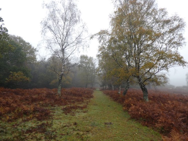
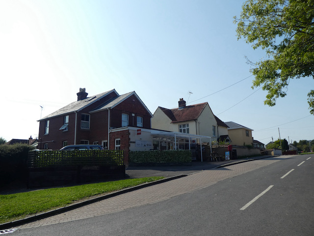
    My car is booked in for it’s annual service today, not that it has done many miles since the last service.  But nevertheless the requirements of the warranty mean things need to be checked over.  I will use the opportunity to go for a walk around the Wallops.

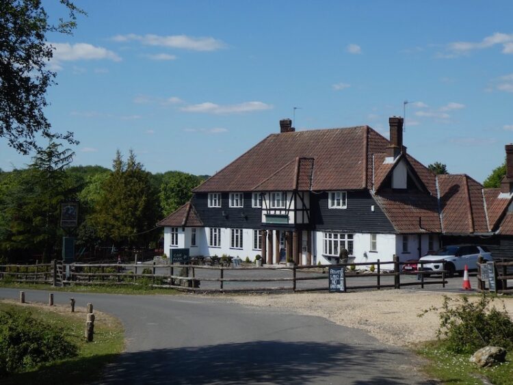
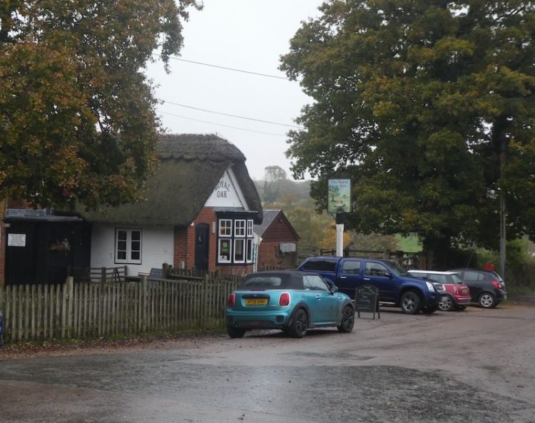
    My walk starts at Pinchbeck’s Garage in Middle Wallop  and I leave to pass the George pub and then turn left along Farley Street and follow this lane through the village to pass the Chapel House and a fine old barn at Hay Down Farm.

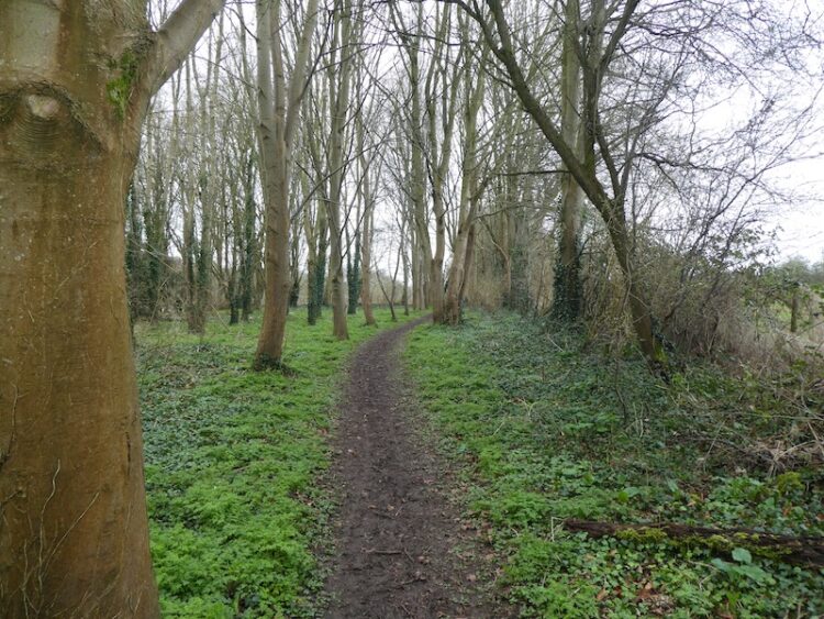
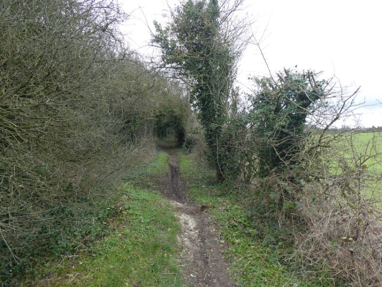
    Just after passing the barn I turn left into School Lane and then after  a short distance, before reaching the school, turn right on a footpath that goes behind houses to cross a tarmac lane and then along the edge of fields.

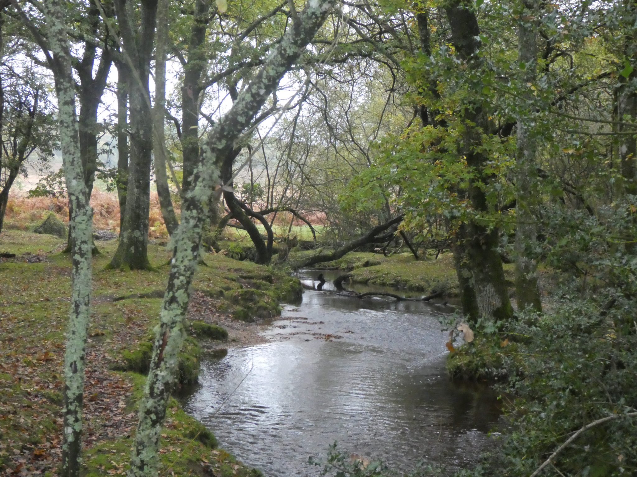
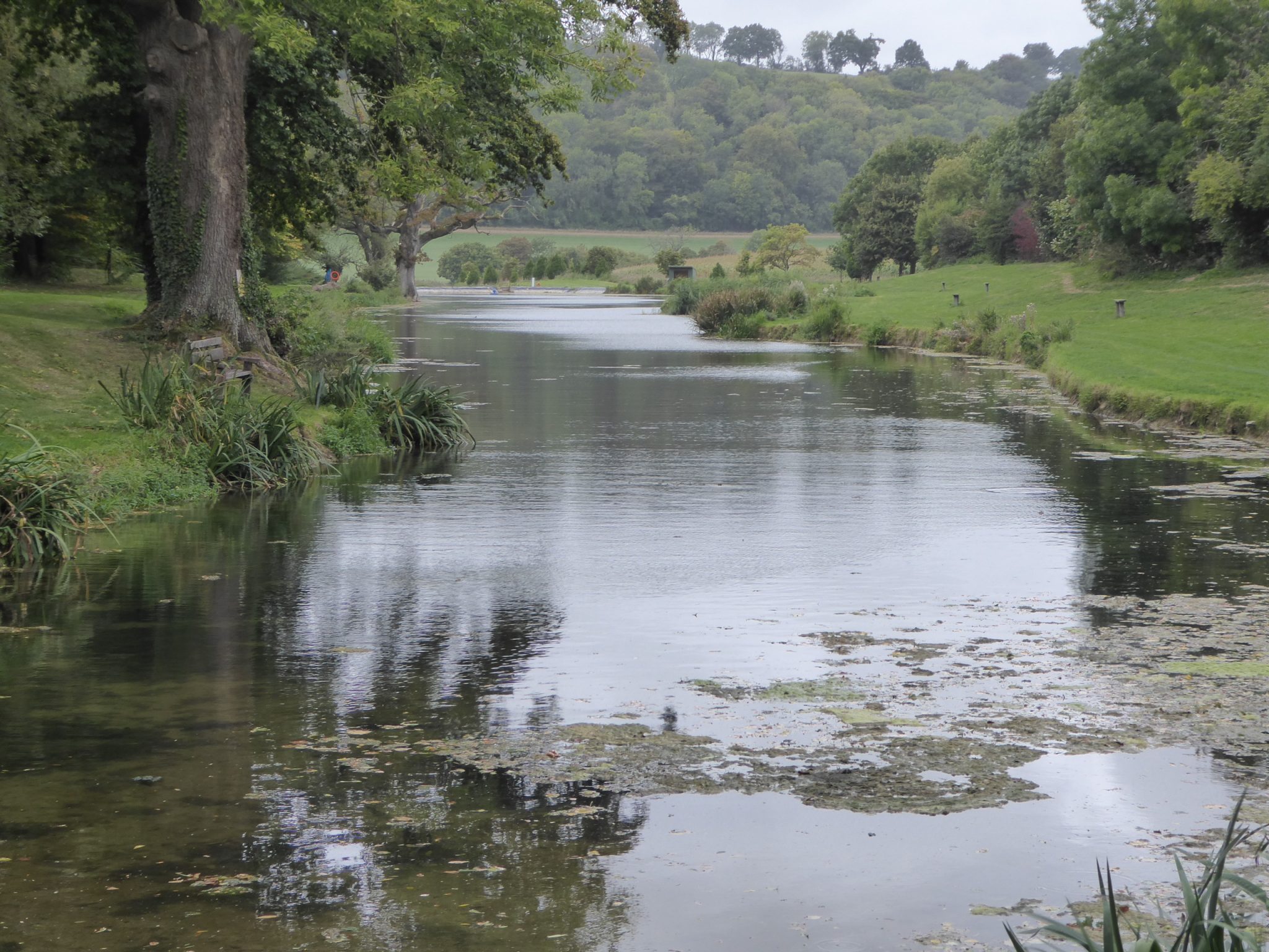
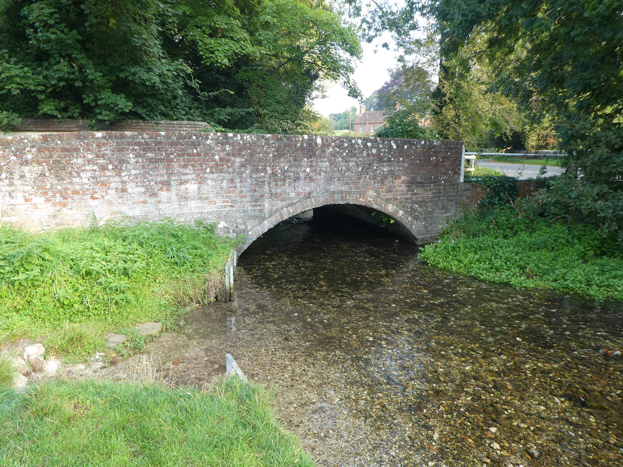
    On reaching a lane I turn right and go downhill turning left to pass the Village Green of Nether Wallop with the Wallop Brook running along its northern side.

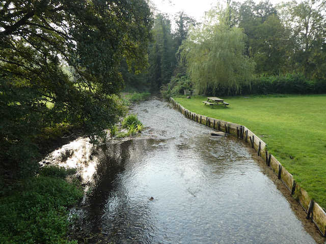
    I am now on Heathman Street and follow this into Nether Wallop.  On reaching the Old Post Office on the left I take a right turn into The Square to cross Wallop Brook and then turn left into Church Lane and follow this to reach St Andrew’s Church. Originally built in the 11th century the church went through major changes in the 14th century and apparently the tower was rebuilt after it fell down in 1704.  I am unable to go inside, but have read that it contains parts of a mural which have been dated to precede the Norman conquest.

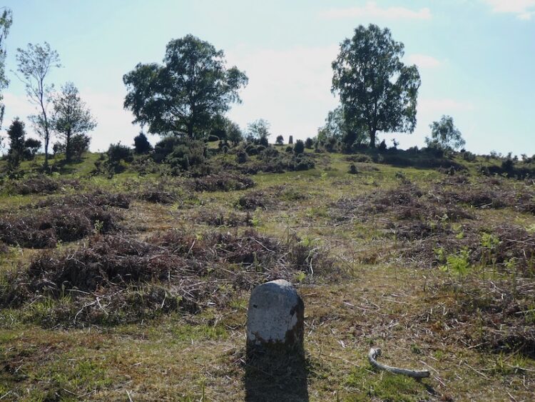
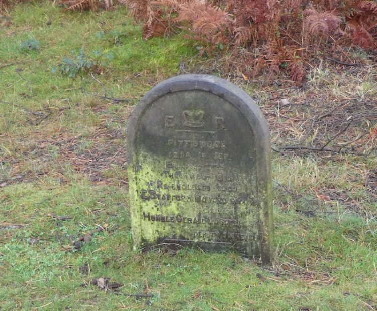
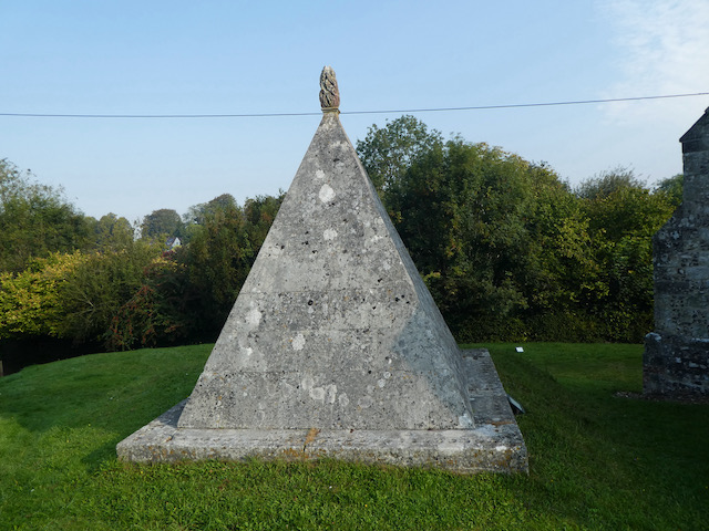
    In the churchyard there is an unusual pyramid shaped memorial commemorating Fred Dowse who died in 1760 and Anne Dowse, 1757.

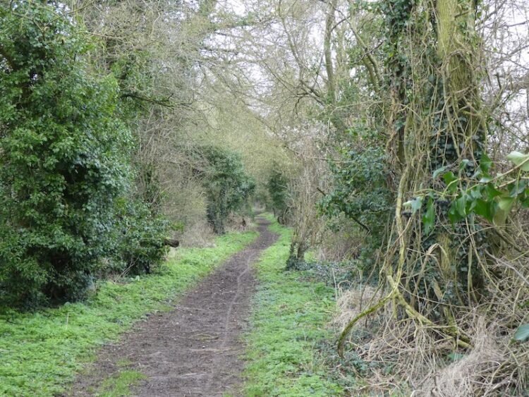
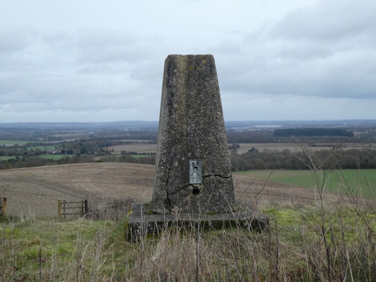
    I leave the church on a footpath heading south, this goes uphill and soon joins a lane, Church Hill.  I walk along the lane as it heads south away from the village.  One of the houses I pass has an ordnance survey benchmark and I happen to meet the owner by his gate.  Needless to say he did not share my interest in benchmarks so there was not an opportunity to view it. 

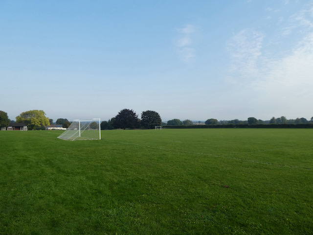
    I stay with the lane to pass Berry Court Farm and then near a barn take a footpath on the right heading across a field to reach Nether Wallop playing field.

    From the playing field I pass through houses to reach Five Bells Lane where I turn right and then almost immediately turn left into Ducks Lane.  On reaching a road junction I take a footpath opposite going along the edge of fields.

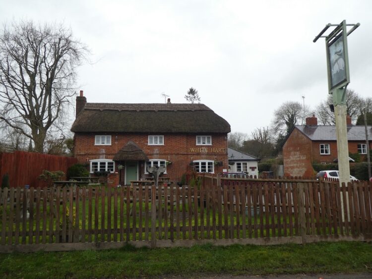
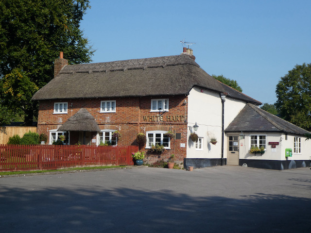
    This path leads to Bent Street where I turn right to go through the village passing attractive thatched cottages to reach Farley Street where I turn left and walk back towards the George Inn.  I know the car service will not yet be completed so I take a left and follow the pavement besides the A343 and then turn right into Salisbury Lane and stay with this to reach Station Road where I  turn left and pass the White Hart pub.

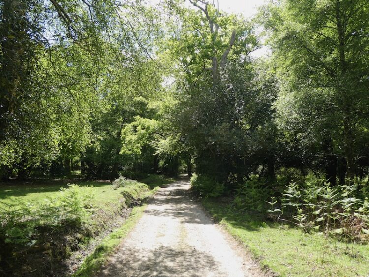
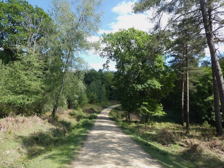
    I stay with Station Road through Middle Wallop and just as I leave the village I take a lane on the left, Pottery Drove, and follow this past Croft Farm and then continue along a track.

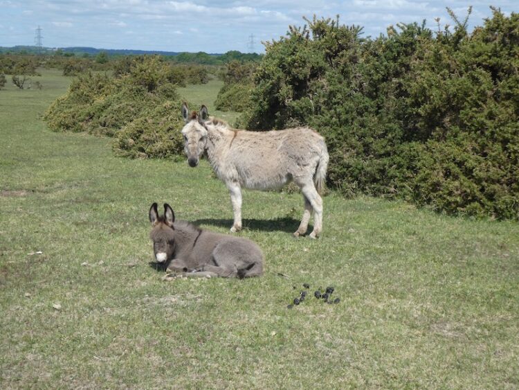
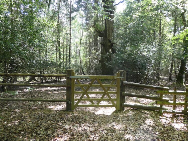
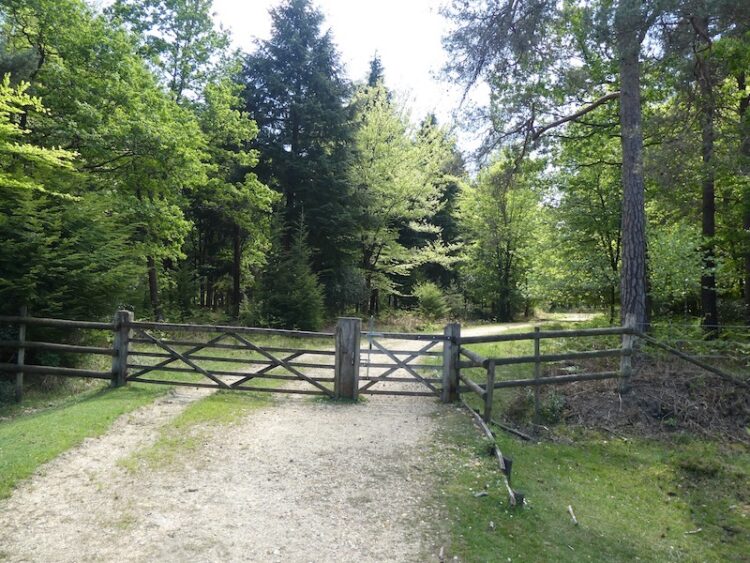
    At a junction of tracks on the edge of Ministry of Defence restricted access land I turn right and follow the track as it heads north to Palestine.

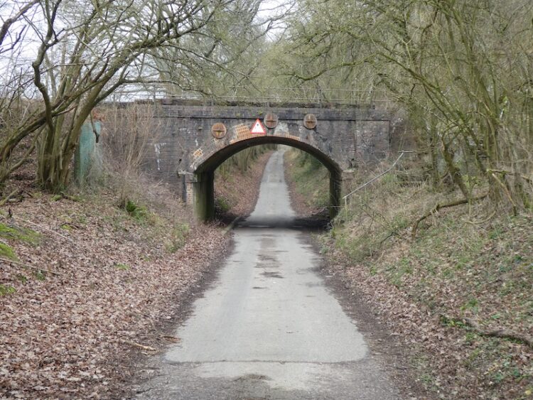
    At a junction with Mount Carmel Lane I turn left and follow it to Zion Road where I turn right and follow the lane into the village.  At a junction with Mount Hermon Road I turn left and shortly after as the road sweeps to the right I continue straight on along a lane which soon crosses the railway line.

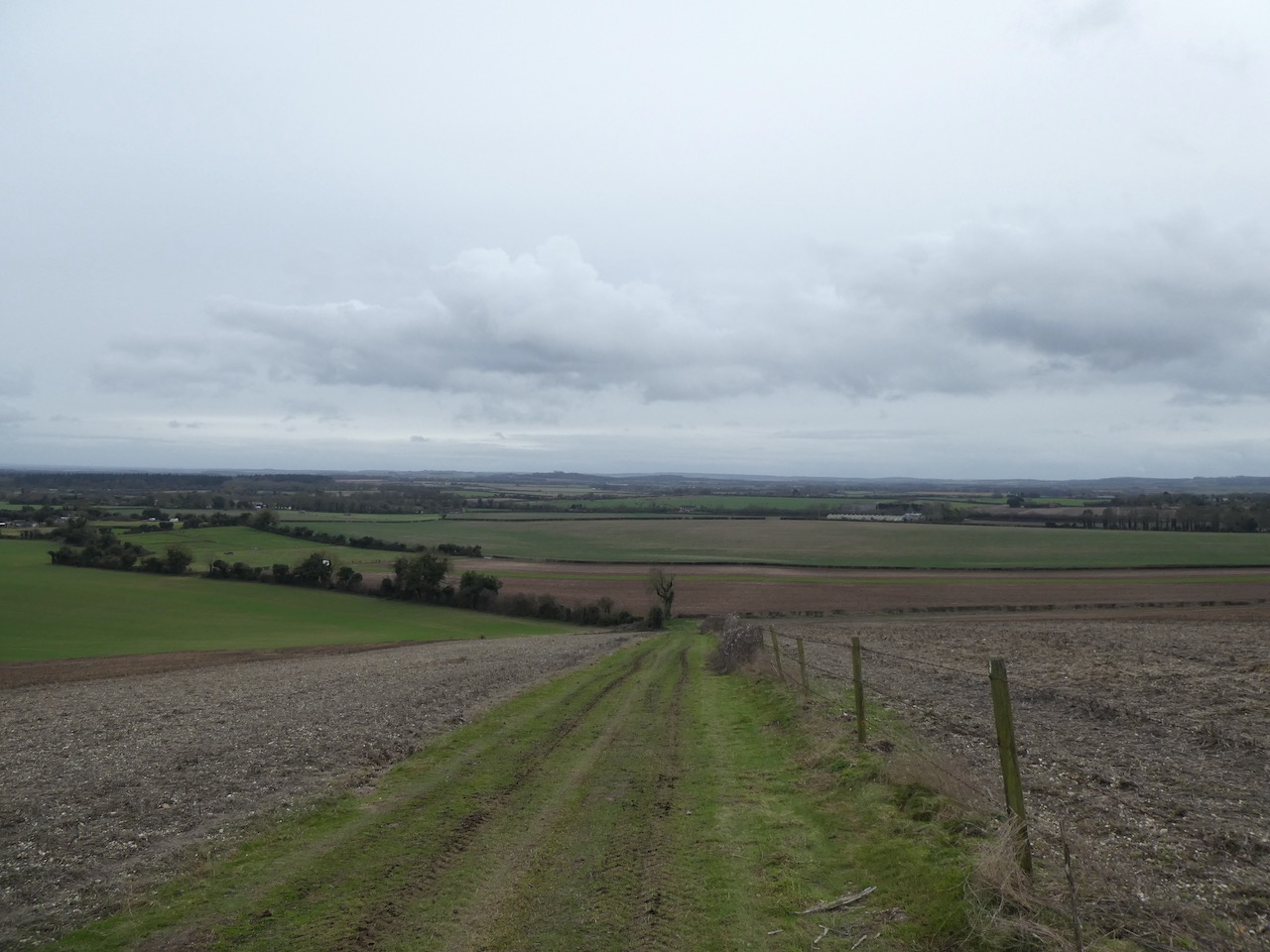
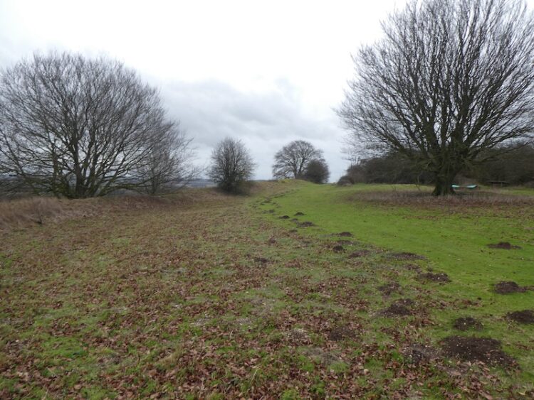
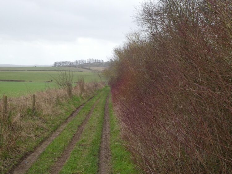
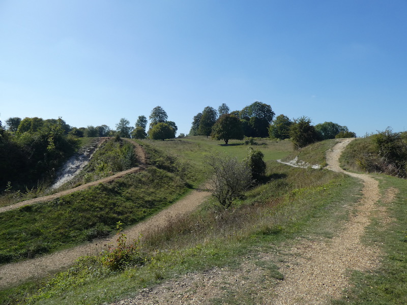
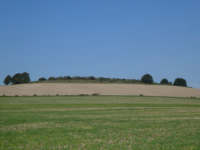
    Staying with the lane I reach a junction with the Portway, a Roman road, I follow this as it goes to the right and then cross the B3084 and continue past Manor Farm Dairy.  Last year I walked a long a track which runs parallel to this road but closer to the hillfort of Quarley Hill.

    This is a quiet lane and I do not encounter any traffic as I continue on to pass Oakleigh Farm and then at a fork in the road go right to soon turn south heading into Grateley.  At a fork in the road with an impressive horse chestnut tree I go right and follow the lane past the village graveyard to reach the Norman church of St Leonard’s.

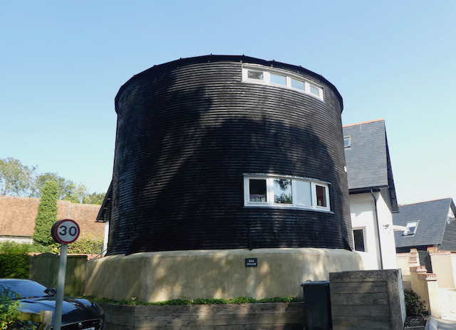
    It is a cracking day and I avail myself of a bench in the graveyard to stop for lunch.  Resuming my walk I pass Manor Farm and the interesting Silo House.  I cannot recall previously seeing a grain silo that’s been converted to a house.  I am sure it is an interesting place to be in a hail storm.

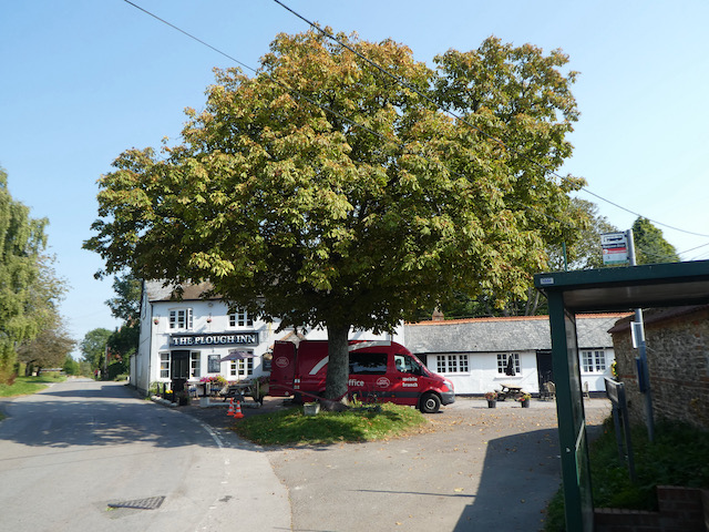
    At a junction I turn left into Station Road and stay with this through the village to pass the school.  This leads into High Street and on reaching the Plough Inn I turn right.

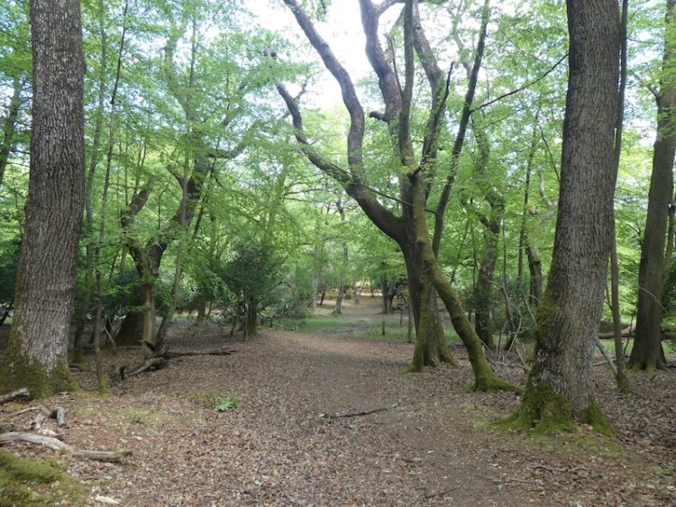
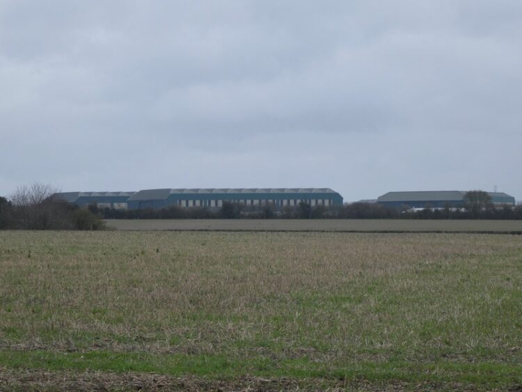
    I now head along Chapel Lane which leads to a track, Georgia Lane, and follow this under the railway line.  The track now goes to Great Vinels Copse. 

    The path continues along the edge of Upper Grateley Wood and I follow this to reach a junction of tracks where I turn right and head towards Oklahoma Farm.

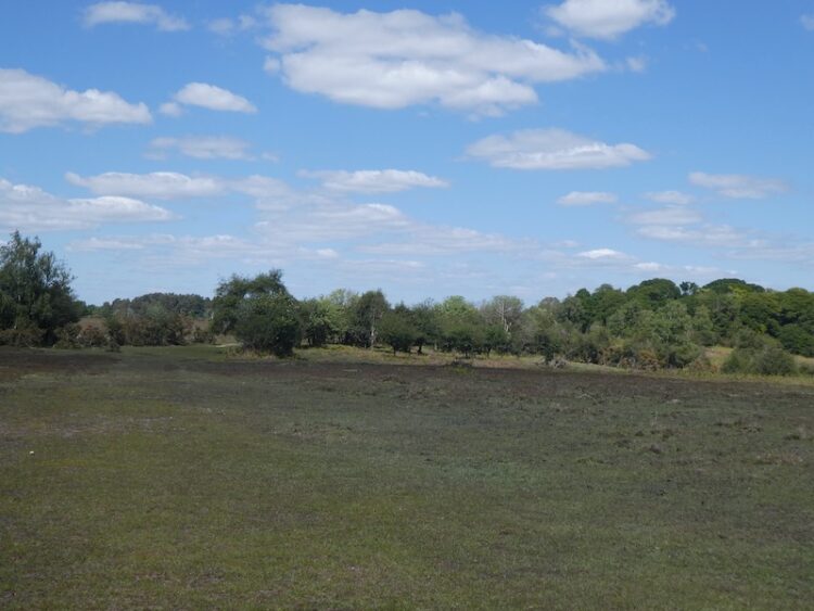
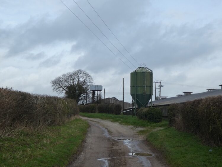
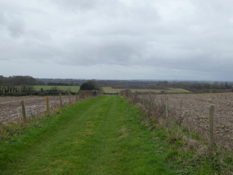
    I pass the farm and cross Old Stockbridge Road and then join Park Drove and head south towards Park Farm.  Just before reaching barns I take a footpath on the right across a field.

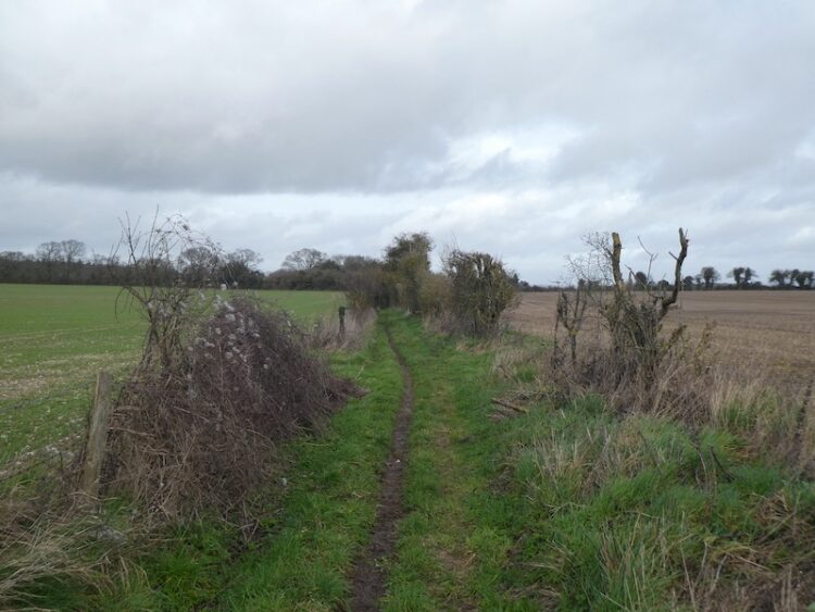
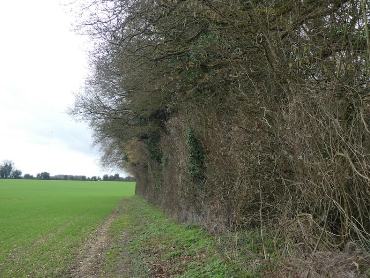
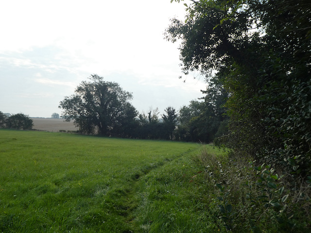
    The footpath then follows a hedge lined route between fields heading south towards Wallop.  After crossing a minor road I continue on to a junction of tracks where I turn right and soon reach a tarmac lane.  At a junction I turn left and follow this lane past the village shop.

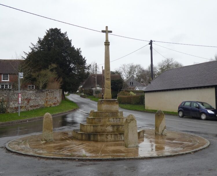
    At a junction by the War Memorial I turn left into Station Road.  Within a few yards I take a brief diversion to visit the Church Sunday School Hall to seek out the OS benchmark that is cut into the wall.  It is years since I last visited this hall, then it was for a cricket tea whilst playing a match on the nearby playing field.

    Rejoining the road I walk through the village to return to the crossroads and my starting point at Pinchbeck’s garage.  The car is ready for collection and I pay my bill thinking, not for the first time, how grateful I am for deciding to buy a Ssang Yong rather than another Landrover.

    You can view this 14 mile walk on OS Maps and download the GPX File Here

    To follow my walk you will need Ordnance Survey Explorer Map 131 Romsey, Andover & Test Valley

    16th September 2020

    © Two Dogs and an Awning (2020)

    All information on this site is provided free of charge and in good faith and no liability is accepted in respect of damage, loss or injury which might result from it.  To the best of my knowledge the routes are entirely on public rights of way or within areas that are open for public access.
    Walking can be hazardous and is done entirely at your own risk.  It is your responsibility to check your route and navigate using a map and compass.

  • Trigs and Memorials in the New Forest

    Trigs and Memorials in the New Forest

    As we are still unable to tour in the caravan I am once again exploring parts of the New Forest I have not previously walked.  A feature of this year has been the need to identify walks close to home that avoid contact with others.  It has given me an opportunity to seek out a few Ordnance Survey trig points I have not previously bagged.

    The starting point for today’s walk is the Abbotts Well Car Park close to the village of Frogham in the New Forest.  This location gets its name from the nearby roadside ancient well which apparently dates from 1215.  The southern end of the car park has a viewpoint with a toposcope  helping to identify points on the horizon.

    Leaving the car park I follow a track along the ridge heading west.  After passing a cottage on the left I take a path on the left and then after a couple of hundred yards turn left to follow a track downhill across Hyde Common towards a minor road.

    I cross the road and take a path running besides a cottage to reach another minor road where I turn left.  In a few hundred yards at a T-junction I take a track opposite and go southeasterly to reach access land as the track sweeps to the left I take a path opposite heading up Dorridge Hill.

    This path takes me over the top of the hill and then descends to a network of tracks and paths at Brogenslade Bottom.  I take a broad, uphill track in a southerly direction to reach Ibsley Common.  I have been here on previous occasions and decide to pop across to look at the World War II Direction Finding Station.  

    Originally the brick walls of this base were protection for a three storey wooden tower that stood within it and housed the High Frequency Direction Finding Station.  Known as Huff-Duff, it was part of the network of locations across the Country used to track Allied Aircraft and help them to intercept enemy aircraft.   The tower was made of wood to reduce interference and housed the equipment and operators.

    From the Huff Duff I return to the track and head in south westerly direction to reach the Ordnance Survey trig pillar at Whitefield Plantation, this is one I have previously bagged.

    After the trig I keep heading south west to reach a junction of tracks.  I turn to the left and head south easterly towards a footbridge over Dockens Water.

    After crossing the stream I head uphill to reach a minor road and cross to follow the footpath uphill and then drop down to cross a stream in Big Whitemoor Bottom.

    I now head uphill to Rockford Common where the path heads to the east and then at a junction of tracks I turn right to walk besides a track heading south.

    On reaching a road I turn left and walk besides the road to pass the entrance to a car park at Linford Bottom before crossing a stream.

    At a road junction I go left, staying with this road as it bends to the south and heads steadily uphill.  On reaching a cycle track on the left, opposite the entrance to Broomy Hurst, I leave the road and follow the track over Picket Hill.

    There’s a network of paths up here, but I stay with the cycle track to reach the underpass of the A31 at Picket Post.  It is now a very hot day and the underpass is obviously a favourite spot for New Forest Ponies seeking some shelter from the sun.  The ponies are totally ambivalent of me as I squeeze by them.

    On the far side of the tunnel I take a path heading east towards Ridley Wood.

    The route descends to cross the attractive Mill Lawn Brook before heading up to reach the edge of Ridley Wood.

    After passing through the woods I stay with a track, Sir Dudley’s Ride, named after Sir Dudley Forwood, 3rd Baronet (1912-2001); apparently he was the sole equerry to the Duke of Windsor after his abdication.  Following World War II Sir Dudley moved to the New Forest and held a number of roles within the local community.

    The route soon heads north besides Berry Wood and then continues on towards Backley Inclosure.  On a sunny June day it is very exposed here, there is no cover and the heat is oppressive.  The track passes the inclosure and then becomes a fainter route as it descends through Backley Bottom and then heads up to Bratley Wood.

    At a track I turn right and then after a few hundred yards turn left to follow a path towards a footbridge over Bratley Water.

    After crossing the footbridge I follow a route up to reach a cycle way at a gate into Bolderwood Grounds, here I turn left following the cycle way as it heads steadily uphill towards a car park.  I am no fan of cycling, whenever I get on a bike I end up with a bad back.  I meet a group of cyclists who are finding it difficult to ride up this track and soon realise I am gaining ground on them, then they suffer the ultimate humiliation of being overtaken by a walker!  At which point they decide it is time to stop for a rest.  

    Nearing a minor road I skirt the busy car park to avoid contact with others and head across to the Canadian Memorial.  Apparently it was here that on 14th April 1944 Rev Keith Perdue, Chaplain to the 3rd Canadian Infantry Division, erected a cross and held services for the servicemen preparing for the Normandy Invasion on 6th June 1944. Sadly many of these men did not survive the invasion and subsequent battles.  

    Leaving the Memorial I head north besides the road and then very quickly turn right onto a track into Bolderwood.  At a fork in the track I go left, leaving the main track to join a grass track heading downhill through the trees and bending to the left to reach the edge of an inclosure where I turn right and cross a footbridge over Long Brook.

    I stay with a path close to the border of the inclosure heading towards Stonard Wood.  I then follow the path through the woods, still close to the edge of the inclosure to reach the Ordnance Survey trig pillar at Harts Hill, this is the 210th trig I have bagged.

    From the trig I head north west on a track to the northern edge of Stonard Wood where I turn left until I reach a path on the right towards Withybed Bottom where I turn and follow the path down towards Long Brook known as Murray’s Passage.  

    Just after crossing the brook I spot the memorial stone to Admiral Murray who was killed in 1901 whilst out hunting.  The track through Withybed Bottom was constructed as a safe passage across the boggy land in memory of Murray.

    After ascending the other side of the valley I reach a track close to a pond and turn left to head south easterly to Lucas Castle.  After passing over the hill I descend to cross a stream at fords and turn right following a track to a junction of tracks at Fritham Cross Hollies where I turn right heading for the A31 underpass.  Emerging on the east side of the A31 I soon take a track to the left and follow this to Slufters Inclosure.  In the Inclosure I follow a track to a crossing where I turn left to join a cycle way.

    I follow the cycle way through the inclosure to reach a minor road which I cross and continue through more trees.  Emerging from the trees I turn left on a track heading towards the A31 and then keep with the track as it sweeps to the right and heads east to reach the trig point on Bratley Plain, my 211st.

    Now I stay with the track heading east to reach Roe Inclosure.

    In the Inclosure I stay on the track heading east towards Amie’s Corner.  On reaching a gate besides Roe Cottage I go through and then turn right to follow a grassy path to reach a minor road where I turn right to follow a path besides the road to reach a car park.  Here I cross the road to follow a track through Broomy Walk to head steadily downhill to pass the High Corner Inn.

    After passing this pub I continue on a track and on reaching Dockens Water cross on a footbridge.

    The route I now take is north east across the common heading steadily uphill to pass Hasley Inclosure.

    Then I continue on across Hasley Hole.  This area appears to be a meeting spot for ponies.

    On reaching a track I go right to head north crossing a footbridge and then going by Ogden’s Farm.  Staying with the track until I reach a path below Abbotts Well Car Park where I turn right and make the short ascent to my starting point.

    My walk has covered 21.5 miles on a very hot day.  It has been interesting exploring these parts of the New Forest.  The area of the forest that I have walked around is littered with tracks and paths so if you plan to follow my route I would recommend downloading the GPX file.

    To follow my walk you will need Ordnance Survey Explorer Map OL22 New Forest

    You can view this 21.5mile walk on OS Maps and download the GPX File Here (Subscription to OS Maps Required)

    23rd June 2020

    © Two Dogs and an Awning (2020)

  • Two Trig Pillars and The Rufus Stone

    Two Trig Pillars and The Rufus Stone

    The lockdown restrictions on travel were eased yesterday and whilst we are still being extremely cautious I am getting into the car for the first time in weeks and starting a walk from a location other than my home village.  It feels really strange driving again and the roads are extremely quiet as I make the short journey to Canada Common on the edge of the New Forest.

    The starting point for my walk is the car park on the edge of Canada Common (Grid Ref: SU287177).  There are a lot of people sat around the car park, I hope this doesn’t mean I will encounter too many folk whilst out walking. 

    Leaving the car park I head north on a path across the Common and stay with this route until I reach an Ordnance Survey trig pillar.  This is the 200th I have bagged.

    Like many others concern over the current situation around the Covid-19 pandemic has disrupted my sleep.  A few nights ago I was awake during the night and struggled to get back to sleep.  Lynnie suggested that a good way to drop off would be to count the trig pillars I have visited.  I started in the Scottish Highlands and headed south; I was asleep before I reached the Yorkshire Dales!

    The area I am walking is open access land, but where possible I stick to paths as I don’t want to disturb ground nesting birds or other wildlife.  From the trig pillar I follow a path heading north and gradually descend to join another path where I turn left and head south along the bottom of West Wellow Common.

    I stay with this route until I reach a junction of paths; here I turn right and head west across Plaitford Common heading towards Deazle Wood.

    The path leads into the woods and then I fork left to head south through the trees to reach a minor road and turn right to follow it.  After a quarter of a mile, just after crossing a stream, I turn left and take a path heading south westerly through trees.  This track soon joins a gravel driveway and I stay with this until I get to a minor road.

    After crossing the road I continue on into Bramshaw Wood.  There are a network of paths in these woods and I am glad I brought my map and compass so I can keep heading in the right direction.  Before the lockdown I completed the Silver National Navigation Award Scheme course with Nigel from New Forest Navigation.  I have walked for years with a map and compass but a mishap in the Yorkshire Dales a few years ago made me realise that I needed to be a lot more confident in navigation.  So walking through woods like these are a good test of my contour reading and pacing skills as I head towards Black Bush Plain.

    On leaving the trees on the edge of Black Bush Plain I fork left on a track going south across the plain towards the Bramble Hill Walk car park besides the B3078, Roger Penny Way.

    I stay besides the road and head to Long Cross crossroads, here I continue by the Roger Penny Way for a couple of hundred yards before turning right to cross the road to take a footpath heading south into woods. Initially the path is not easy to spot, but it soon reaches an inclosure and I keep heading south with a boundary fence to my right.

    After going through a gate the path becomes more well used and continues to reach a broad gravel track.  I turn left along the track through Salisbury Trench, it is a cycle way so easy to follow and today not a single bike passes me.   

    At a junction of cycle ways I turn left and follow the track to a gate leading to a clearing between inclosures. The track now goes through a gate into King’s Garn Gutter Inclosure.  

    At the next junction of cycle ways I turn left and follow a gravel track through the woods to a clearing on the edge of the inclosure. Here I turn left and head east along a path, soon crossing Coalmeer Gutter. 

    At a fork in the path I go right to continue across access land towards a minor road and the Rufus Stone.  The path across this access land is not clear so I take a bearing with my compass to ensure I am heading in the right direction.

    As I near the minor road I turn left and soon reach the Rufus Stone.  This stone is supposed to mark the spot where King William II, also known as William Rufus, was fatally wounded by an arrow whilst out hunting on 2nd August 1100.  The deadly arrow was said to have been shot by Sir Walter Tyrrell and had ricocheted off a tree. By all accounts Rufus was not that popular so few people mourned his death and his body was transported to Winchester Cathedral by a local charcoal burner.

    More recently doubt has been cast on whether this is the actual location, historians think it may well have been nearer Beaulieu and it has also been suggested that Sir Water might have actually intended to do away with the King.  Within three days William’s brother Henry was crowned King.

    My route now follows the road to pass the Sir Walter Tyrrell pub.  Originally the pub was the building next door which is now a holiday cottage.  I have not visited this pub for over forty years, perhaps when things return to normal I will bring Lynnie here.  However, her memories of this area are scarred by her coming off her bike in front of the very busy pub garden whilst on a bike ride with the children.  She never used the bike again!

    The route now follows the minor road through Upper Canterton and when the road bends to the left I take a bridleway on the right heading towards Lower Canterton.  Some mindless individual has decided this would be an ideal spot to fly tip.  I find this type of behaviour absolutely abhorrent and take pictures so I can alert the Council.  Hopefully they will be able to trace those responsible.

    Still fuming about the fly tipping I continue along the track and then enter woodland and on reaching a house turn left to follow a footpath that soon joins a minor road.  This leads to the B3079 in Brook, where I turn left and then after a short distance cross the road at the pull in for Cedar Cottage and go through a gate to take a bridleway along the edge of a copse.  To my left is Bramshaw Golf Club, a course I played once, over forty years ago.

    The bridleway reaches a minor road where I turn right and soon pass Warren’s Farm. I stay with the road until I pass cottages on the left and reach a clearing.  Here I go left to take a bridleway heading north towards Cadnam Common.

    On the Common there are a network of tracks and paths, I take a route that continues north towards the prominent Stagbury Hill. This is a cracking common and apart from one other couple in the distance I have the vast space to myself.  

    I pass a pond and then start a steady ascent to reach the summit of Stagbury Hill.  This is such a prominent feature with a commanding view across the common.  It also has an Ordnance Survey trig pillar, my 201st bagged.

    As part of the navigation course I attended a few months ago we had to locate a couple of boundary markers.  I see on the map that there is one on the side of this hill so take my bearing and measurements and pace off to find it.  As it happens it is easy to locate and exactly where I expected it to be!

    I now follow a path across Furzley Common to reach a crossroads.  I turn left and follow the minor road to reach access land on Penn Common.  

    At a gravel track on the right I walk away from the road and continue to cross a stream at Moor Bridge.  The track now leads onto Canada Common where I follow paths heading in a northerly direction to return to my starting point at the car park.

    My walk has covered thirteen miles and it has been interesting to explore parts of the forest I have not visited for years; the only downside was the fly tipping but that will be reported as soon as I get home.

    To follow my walk you will need Ordnance Survey Explorer Map OL22 New Forest

    You can view this 20 mile walk on OS Maps and download the GPX File Here

    14th May 2020

    © Two Dogs and an Awning (2020)

    All information on this site is provided free of charge and in good faith and no liability is accepted in respect of damage, loss or injury which might result from it.  To the best of my knowledge the routes are entirely on public rights of way or within areas that are open for public access.
    Walking can be hazardous and is done entirely at your own risk.  It is your responsibility to check your route and navigate using a map and compass.

  • Quarley Hill from Middle Wallop

    Quarley Hill from Middle Wallop

    The car is going into the garage today so whilst it is there I am going to head out to bag a nearby trig point which has been in my sights for a little while.  The starting point for my route is outside Pinchbeck’s Garage in the village of Middle Wallop.

    I start by crossing the busy A343 and walking a few yards to reach a footpath on the left hand side.  This path goes through a field to a metal stile leading into a caravan storage yard.  

    The footpath goes directly through the storage area and then continues in a westerly direction.

    At a crossing off tracks I turn right to follow a track heading north.  On reaching a junction of trails I turn left and then within a few hundred yards take a track leading towards a minor road.

    After crossing the road I continue along the track, to my right there is a view of the hangers at Middle Wallop Museum of Army Flying.  The airfield was constructed at the start of World War II and was initially occupied by 15 Flight Training School, but as the war developed it became the base for fighter planes.  In 1958 the airfield was taken over by the Army Air Corp and became a base for helicopter training.

    This track leads to an arable field, the path crosses the field to join a tarmac lane to the north of Park Farm.  I head north along the track passing barns and a water tower.

    On reaching the B3084 I cross and continue north on a track, Georgia Lane, soon passing Oklahoma Farm. 

    The track becomes a minor road at Georgia Farm, I am not aware why the farms in this area are named after American States, it is something to research when I have more time.  The road continues north and goes under the Salisbury to London railway line.  For over twenty years I commuted from nearby Grateley to London and would often look out of the window and see this lane.

    Heading towards a junction with a minor road at Fox Farm I get a fine view of Amport House in front of me to the right.  Apparently, this house was built in 1857 by John Paulet, 14th Marquess of Winchester.  In the early 1920’s the house was purchased by Colonel Sofer Whitburn who then engaged Sir Edward Lutyen’s and Gertrude Jekyll to redesign the gardens. At the outbreak of World War II the house and estate were requisitioned to be used as RAF Maintenance Command.  The RAF later purchased the site and only recently vacated it, it is currently on the market.

    At Fox Farm I turn left along the road and then after a few hundred yards fork right onto a road signposted to Quarley.  When the road bends to the right I continue straight on along Grateley Drove.  There are an assortment of old busses and other vehicles here converted to homes.  I don’t see anyone as I walk along, but I am sure my presence is noted.

    On reaching a road I turn right towards Quarley Manor Farm. At the farm drive I turn left and follow a footpath through the farm buildings and then into a field to walk along the edge of Quarley Wood.

    The path continues along the edge of fields, to my right I can see the Hill Fort at Quarley Hill, I am hoping to bag a trig on that hill, but know it is off the public right of way.  As luck would have it a chap on a dumper truck appears as I reach the track leading to the hill fort.  I ask him if I can wander up to the fort, he readily agrees and is surprised I thought I needed to ask. 

    It is a steady ascent to the Iron Age Hill Fort and it is easy to see why early inhabitants selected this spot, there are extensive views,

    At the north eastern corner of the fort is an Ordnance Survey Trig Pillar, this is the 193rd I have bagged.

    After admiring the views I head back down the track to the footpath and turn right and head above Manor Farm Dairy.  At a junction of tracks I turn right and then after a few hundred yards take a footpath that crosses a field to reach the B3084.  

    At the B3084 I turn left and follow the road to the entrance to Portway Farm.  The route now follows a hedge lined footpath towards a minor road.

    At the junction with the minor road I continue straight on towards Palestine.  I have recently been reading “A Natural History of the Hedgerow and ditches and dykes and drystone walls” by John Wright.  It is amazing how reading such a book has made me more aware of the hedgerows I pass.  As I walk along this road I see a classic example of a hedge laid many years ago.

    I ignore a road to the left, but a few hundred yards further on turn right into Zion Road.  At a junction with Palestine Road I turn left and head south to reach a minor road, Mount Carmel Road.  I turn left and after a couple of hundred yards at a junction of road and tracks I turn right and follow the broad track as it skirts the boundary of MOD land.

    I stay on this track until I reach the second track on the left, this leads towards the entrance to Croft Farm and then becomes a minor road with the Wallop Brook running in ditches either side.  As I reach the outskirts of Over Wallop I pass a pond and then turn right to walk into the village.

    So far my walk has been dry, but as I enter the village it starts to pour with rain.  Therefore, I decide to take the most direct route back to my starting point.  This entails following the minor road through the village passing the White Hart pub.  This is a pub I have not visited for years, but forty years ago it was a regular place to head for a pint and game of Bar Billiards.  

    The route is now very straightforward.  I just stay on the road besides the Wallop Brook, passing the War Memorial to reach the A343 in Middle Wallop.  From here it is a case of crossing the road and returning to my starting point.

    My walk has covered almost twelve miles.  Despite being so close to home it is the first time I have walked many of the paths so will no doubt be returning at some point in the future.

    You can view this 12-mile walk on OS Maps and download the GPX File Here

    To follow my walk you will need Ordnance Survey Explorer Map OL131 Romsey, Andover and Test Valley.

    Additional Information

    For more information on this walk including car parking, amenities, refreshments and detailed walking directions visit my associated Walking Moonraker website.

    3rd February 2020

    © Two Dogs and an Awning (2020)

    All information on this site is provided free of charge and in good faith and no liability is accepted in respect of damage, loss or injury which might result from it.  To the best of my knowledge the routes are entirely on public rights of way or within areas that are open for public access.
    Walking can be hazardous and is done entirely at your own risk.  It is your responsibility to check your route and navigate using a map and compass.

  • Bagging Four Trigs from Pipers Wait

    Bagging Four Trigs from Pipers Wait

    Despite living so close to the New Forest it is an area I rarely walk.  Since the occurrence of a few cases of Alabama Rot affecting dogs in the forest I have been cautious about taking our dogs there.  Also I don’t like visiting when it is busy in peak holiday season, however, in November without the dogs it is a good place to go.

    Today I am walking with my friends Mandy and Ged and our starting point is just south of Nomansland in the car park at Pipers Wait (Grid Ref: SU249165).

    Leaving the car park we cross the road and head west across open ground towards woodland.

    At the edge of Franchises Wood we turn left and follow the fence line, soon we are crossing soggy ground, trying to ensure firm footing to avoid a boot full of mud.

    Our route runs parallel to the B3078 and then the B3080.  We pass Hope Cottage and continue along besides the woodland boundary to reach the Ordnance Survey trig pillar at Pound Bottom, this is the 183rd I have bagged.

    From the trig point we continue along parallel to the B3080 for another 350 metres before crossing the road to join a path heading south across Rushy Flat.  This path leads to the B3078, Roger Penny Way.  After crossing the road we continue south across open ground heading steadily downhill through the edge of Black Gutter Bottom.

    Our route then climbs to reach a firmer path where we turn right and head southwesterly, our initial joy of getting on firm ground is short lived when we reach a flooded area of track  requiring a slight detour to keep our feet dry.

    At a fork in the track we go right and follow a track marked on the map as Leaden Hall. From here we can just about make out the line of Cranborne Chase in the distance.  The visibility so far has not been good, but it is gradually beginning to clear.

    At a junction of paths at Little Cockley Plain we go right and then at the next junction take a left to head downhill through Great Cockley Plain.

    After skirting a copse we continue to a brook running through Must Thorns Bottom.  In the summer this would not present much of an obstacle, but after the recent heavy rainfall it takes a while for us to identify a suitable spot to traverse without getting wet feet.

    We now head towards Pitts Wood Inclosure; inclosures, or enclosures, were parts of the forest fenced to keep out the Commoners’ animals to enable the young trees to grow.  When the trees matured the enclosures were open again, (known as thrown out).

    The practice of inclosures was created by the 1698 Act for the Increase and Preservation of Timber in the New Forest.  The purpose was to give plantations protection, thereby, ensuring a future supply of timber required for Royal Navy shipbuilding.

    Pitts Wood Inclosure was inclosed in 1775, and thrown out in 1815 before being re-inclosed in 1909.

    Our route keeps out of the woodland; instead we follow a path around the boundary of the inclosure initially going south before heading east to join another path heading south to a cycle path going across Hampton Ridge where we turn right.

    We stay with this track ignoring paths leading off to the right and left until we spot the Ordnance Survey trig point just off the track (Grid Ref: SU185135), this is my 184th trig.

    Returning to the cycle way we head towards Windmill Hill.  At a junction of paths near a minor road we go left and then almost immediately right to follow a path to the viewpoint besides Abbots Well car park.

    We continue in a southwesterly direction across Hyde Common and then descend to a minor road, here we cross and take a path running besides a cottage to reach another minor road where we turn left and then negotiate a way around a ford.  At a T-junction we take a track opposite and go southeasterly to reach access land and then turn left along a driveway and then turn right and head south skirting Dorridge Hill.

    There are a network of tracks and paths here; we go southwesterly towards Ibsley Common and then cross to reach the Ordnance Survey trig pillar close to Whitefield Plantation.  This is number 185 for me.

    After stopping for lunch on the bench by the plantation we head off again in a northeasterly direction.  This is another area with a network of paths, we keep to a northeasterly bearing until we reach a path heading right over Dockens Water onto Black Heath.

    On reaching a gravel cycle way we turn left, following it through Black Barrow to Woodford Bottom.  We take a left to cross Dockens Water again and head uphill on a path towards the western edge of Hasley Inclosure. 

    At a fork in the path we turn right and then continue on a path parallel to the southern side of the inclosure.

    We join a track near the eastern entrance to the inclosure and follow it across Hallickshole Hill.  We stay with this track as it forks left and then rises to reach a gate into Sloden Inclosure.

    At a junction in the track we turn right, this route weaves its way through the trees to reach a gate leading onto Fritham Plain.

    Now we follow a clear track northeasterly across Fritham Plain.  To either side there is a lot of water lying so we are grateful for the firm ground of the path.

    After passing a parking area we cross a green.  To our right is the Royal Oak pub, it is a long time since I last visited this tiny pub and unfortunately, given the failing light, there is no opportunity to pop in today but I make a note to return in the Spring.

    Crossing the minor road we continue on a track leading through the eastern edge of Howen Bushes.

    Emerging from the trees we turn to the right and follow a faint path to cross a minor road and then turn left to walk parallel with the road across Longcross Plain to reach our fourth OS trig pillar of the day, giving me a total of 186.

    Our route is now straightforward we continue parallel to the road, crossing the B3078 and continuing north besides the minor road along the edge of Black Bush Plain to reach our starting point at Pipers Wait car park. 

    The walk has covered just over seventeen and a half miles and has explored parts of the New Forest I have not previously visited.  Despite the wet ground conditions we have managed to stay dry and avoided too much mud.  

    You can view this 17.5 mile walk on OS Maps and download the GPX File Here

    [To follow this walk you will need Ordnance Survey Explorer Map OL22 – New Forest]

    Additional Information

    For more information on this walk including car parking, amenities, refreshments and detailed walking directions visit my associated Walking Moonraker website.

    1st November 2019

    © Two Dogs and an Awning (2019)

    All information on this site is provided free of charge and in good faith and no liability is accepted in respect of damage, loss or injury which might result from it.  To the best of my knowledge the routes are entirely on public rights of way or within areas that are open for public access.
    Walking can be hazardous and is done entirely at your own risk.  It is your responsibility to check your route and navigate using a map and compass.

  • A Circuit from Barton on Sea to Hurst Point

    A Circuit from Barton on Sea to Hurst Point

    When at home most of out walking is done from the village, occasionally I venture a bit further afield but not often.  I grew up here and have walked the local footpaths for well over fifty years and I can always find something interesting even on the most familiar of walks.  Lynnie hails from Dorset and having grown up near Poole has an attachment to the coastline, which I do not always share, especially when it involves cliffs.  However, today it is our wedding anniversary and Lynnie has requested a visit to the coast.

    (more…)
  • Danebury Hillfort from Middle Wallop

    Danebury Hillfort from Middle Wallop

    It is only a couple of days since I returned from walking in the Black Mountains and it is time for the car to go for a service. Rather than take a courtesy car for the day I prefer to head out for a walk from the garage, so my starting point is in the village of Middle Wallop, which is just over the Hampshire border from home.

    (more…)
  • South Downs Way – Day 1 – Winchester to East Meon

    South Downs Way – Day 1 – Winchester to East Meon

    After weeks of preparations the day has finally arrived when I set off to walk the South Downs National Trail.  This is the first time I have tackled a long distance walk over multiple days.  I have often walked long distances on consecutive days,  but on those occasions I have carried a day sack, now I am heading off with all my gear for the week. (more…)

  • Fred 2 v 0 Awning

    Fred 2 v 0 Awning

    Up early, as it’s moving day. Out with the dogs for a brisk stroll and then back to the van to prepare for departure. In my teens I suffered from migraines, but thankfully they stopped. Then in my late forties they returned. I wish I knew why and what the trigger was, but when they come they render me useless for an hour or so and thereafter I have a thumping headache. Perhaps it was the thought of doing battle with the awning, but for some reason today is a day that is to be blighted by a migraine.

    (more…)

  • Frensham Little Pond

    Frensham Little Pond

    When we started caravanning we soon worked out that we would have allocated duties. Generally, but not exclusively, if it is something inside the Unicorn it falls into Lyn’s domain. Whereas, the awning and all the water jobs are mostly mine and, lucky me, I have exclusive rights over emptying the chemical toilet.

    (more…)