Category: Hampshire

  • Following Tracks from Fritham

    Following Tracks from Fritham

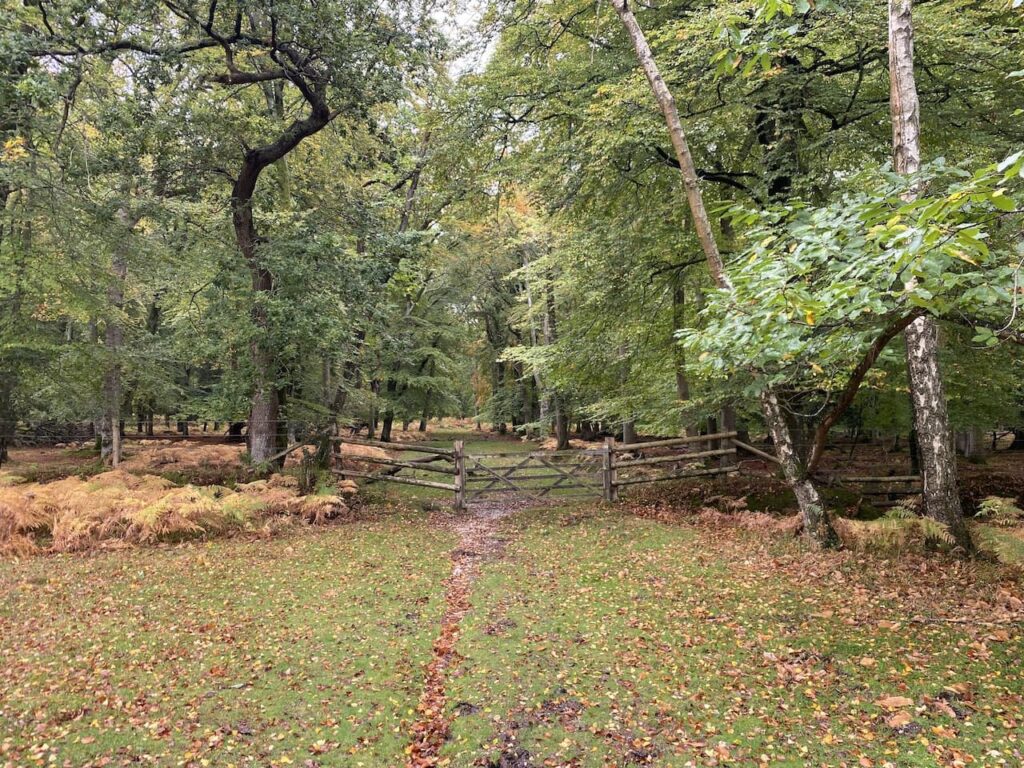
    After my week away in Minehead I am back home and making the short trip into the New Forest today for a walk with my walking buddies Gary and Nigel.  After a prolonged spell of wet weather we know parts of the New Forest will be waterlogged so have planned a route keeping mainly on tracks.  The starting point for our walk is the car park in Fritham which is close to the Royal Oak pub.  (Grid Ref SU231141).

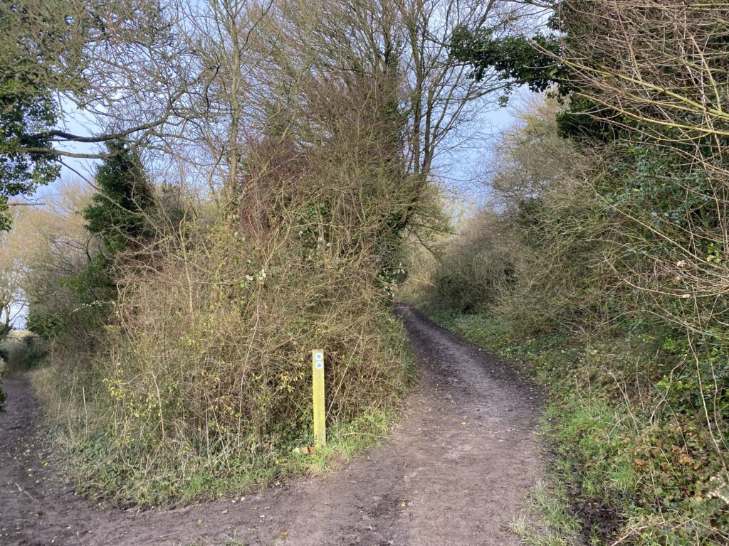
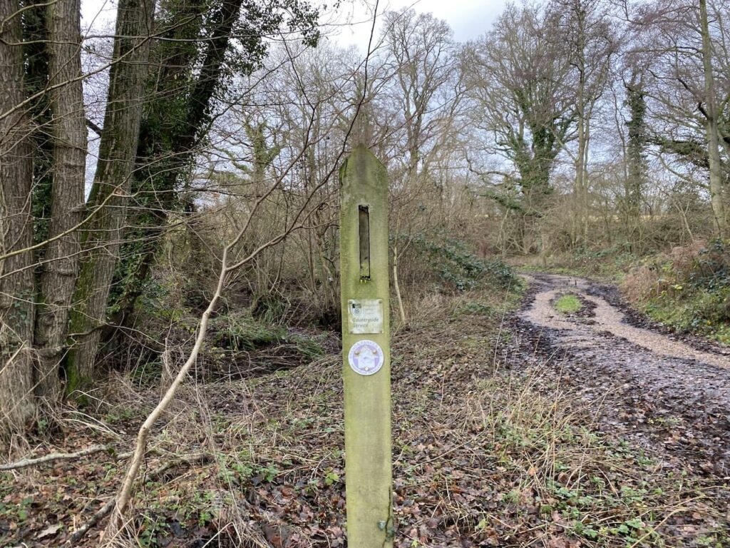
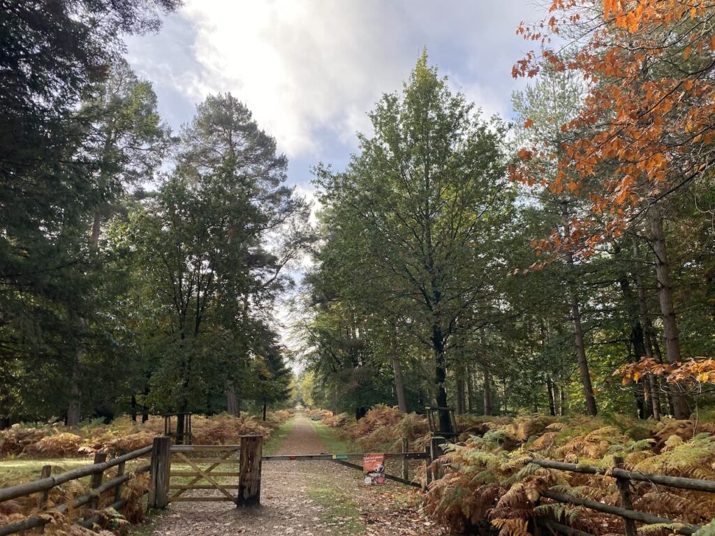
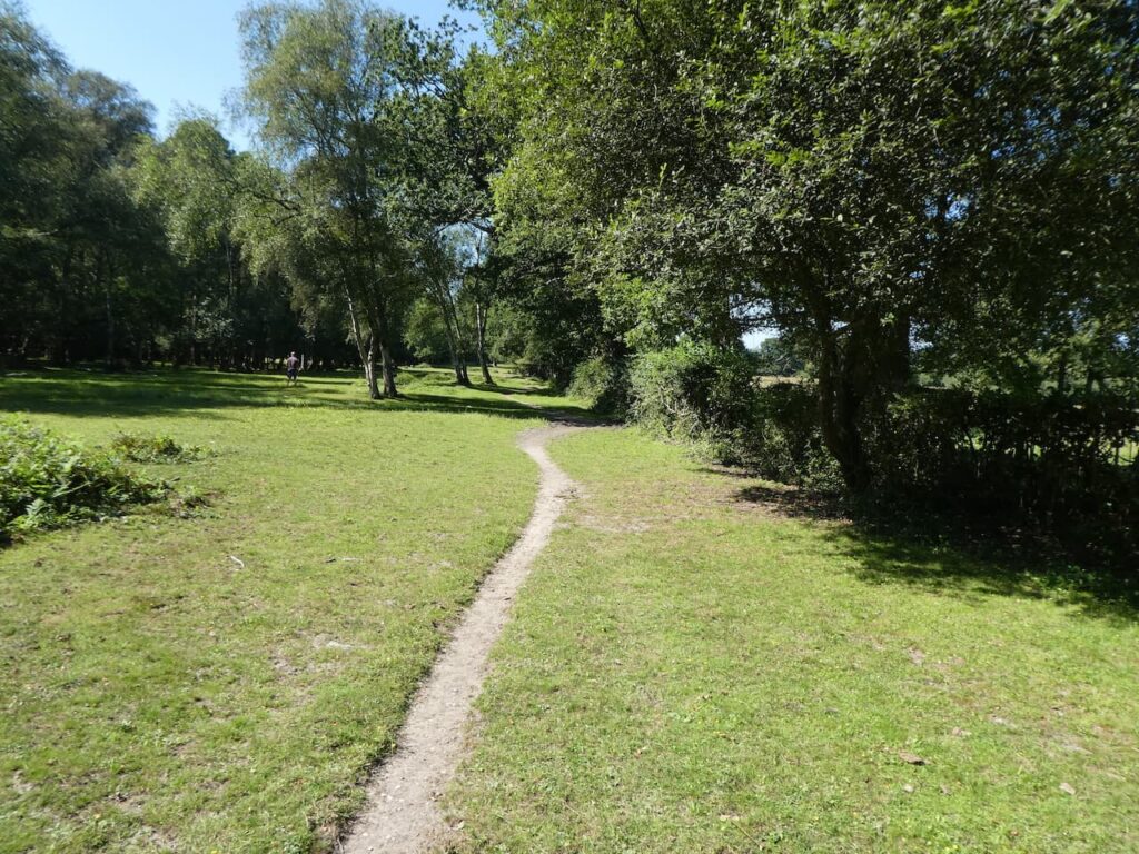
    We leave the car park and head towards the minor road we drove in on, but before reaching the road we turn left and join a track which has a sign saying it is the cycle route to Frogham only.

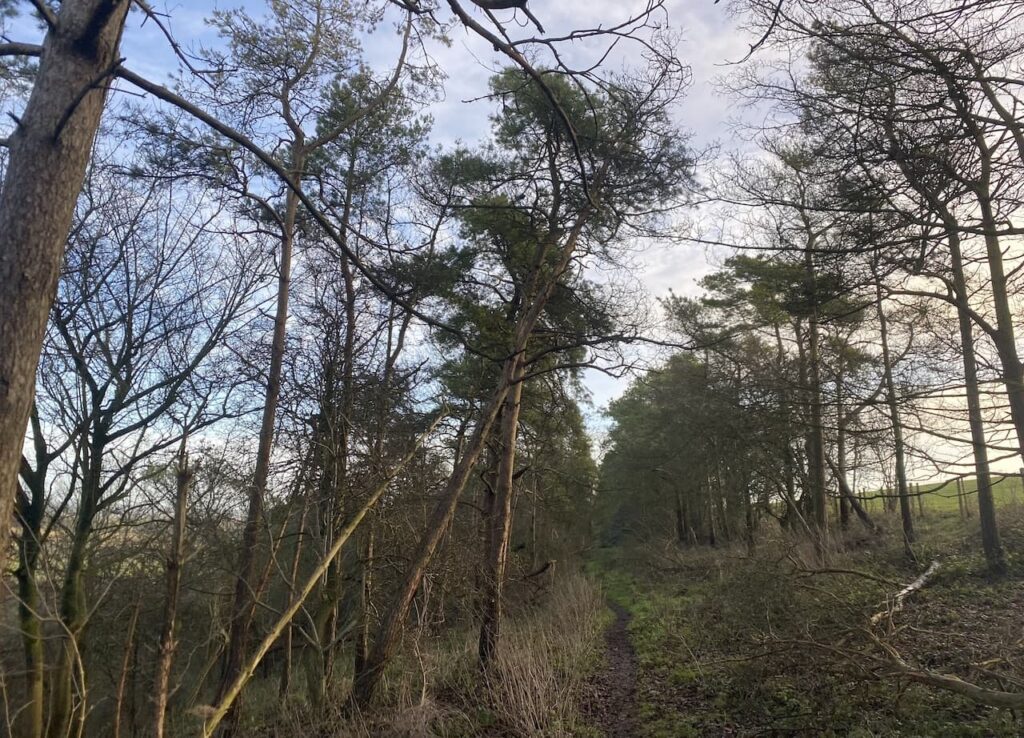
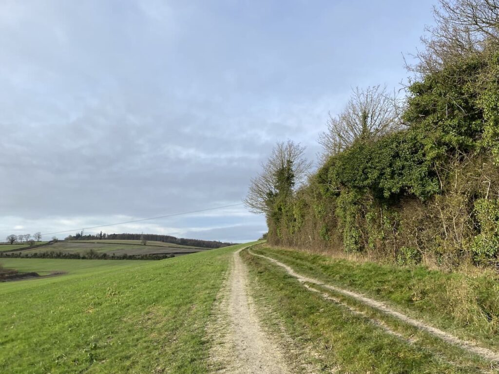
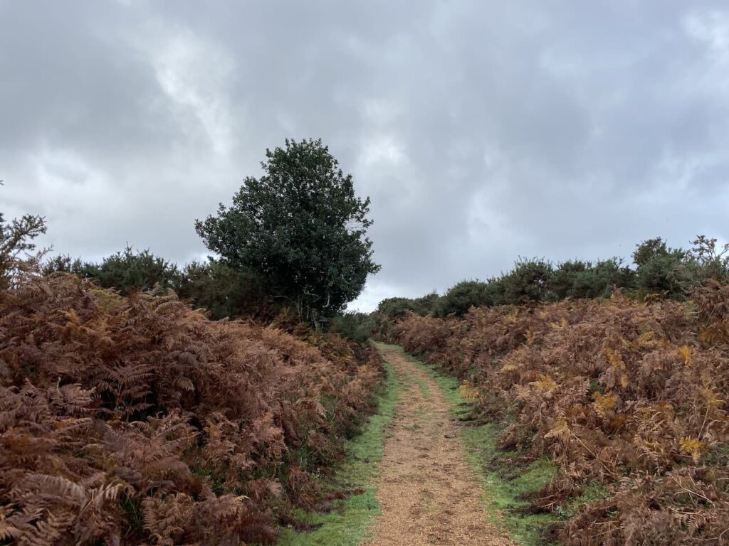
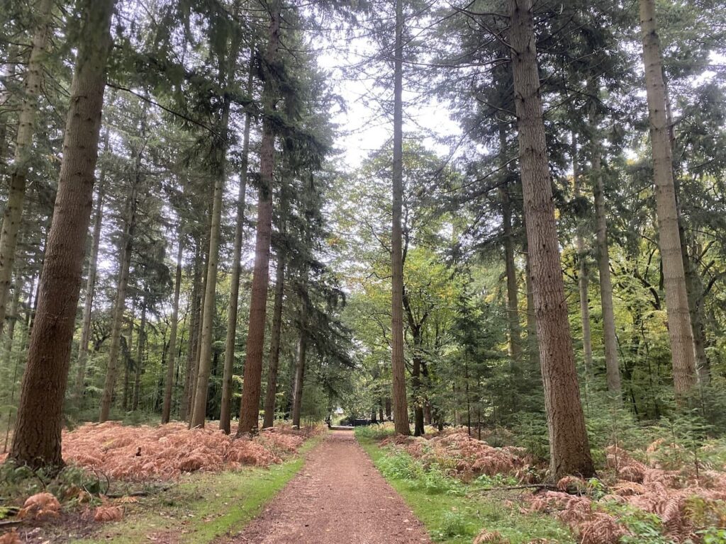
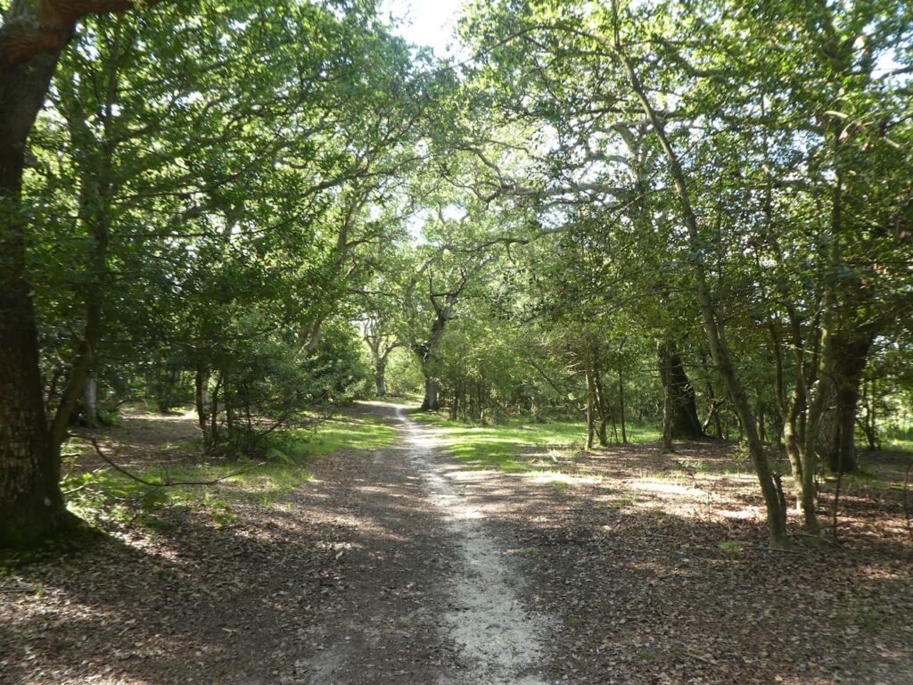
    This track heads west through Gorley Bushes. 

    After almost half a mile the path descends and passes a more open area and at a junction of tracks we keep to the left to continue heading west on the route of the cycleway.

    There are a network of tracks in this area of woodland.  We stay on the cycleway as it sweeps to the north west and then at a junction of tracks take the path on the right going north.

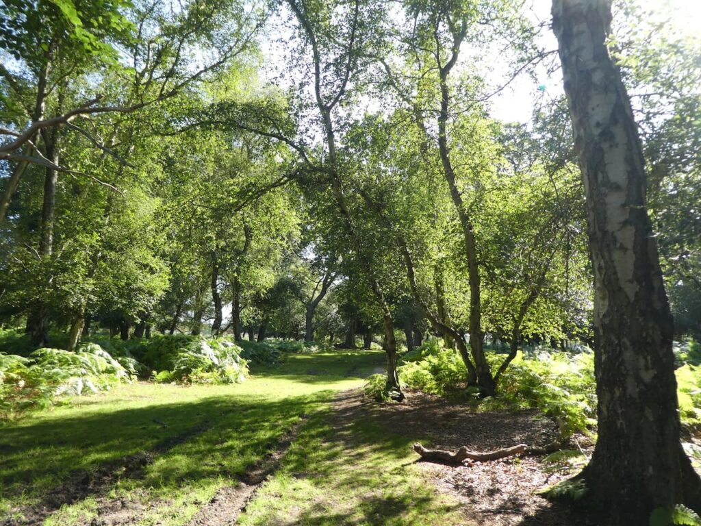
    We cross the next junction of tracks and at the next track crossing turn left.  We are now walking in a section of Island Thorns Inclosure, apparently the oak trees in this inclosure were planted closely together and as a result have grown unusually tall.  In recent times woodland management has resulted in the thinning of the oaks with many now piled ??  beside the track.

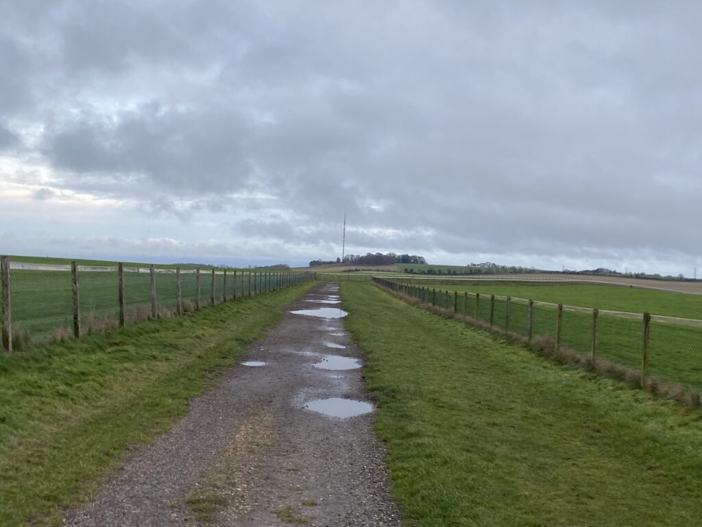
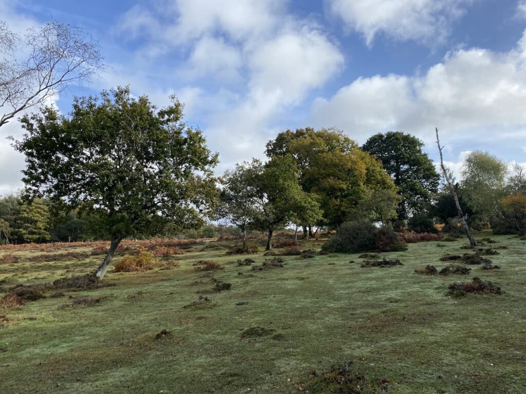
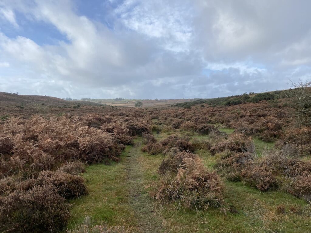
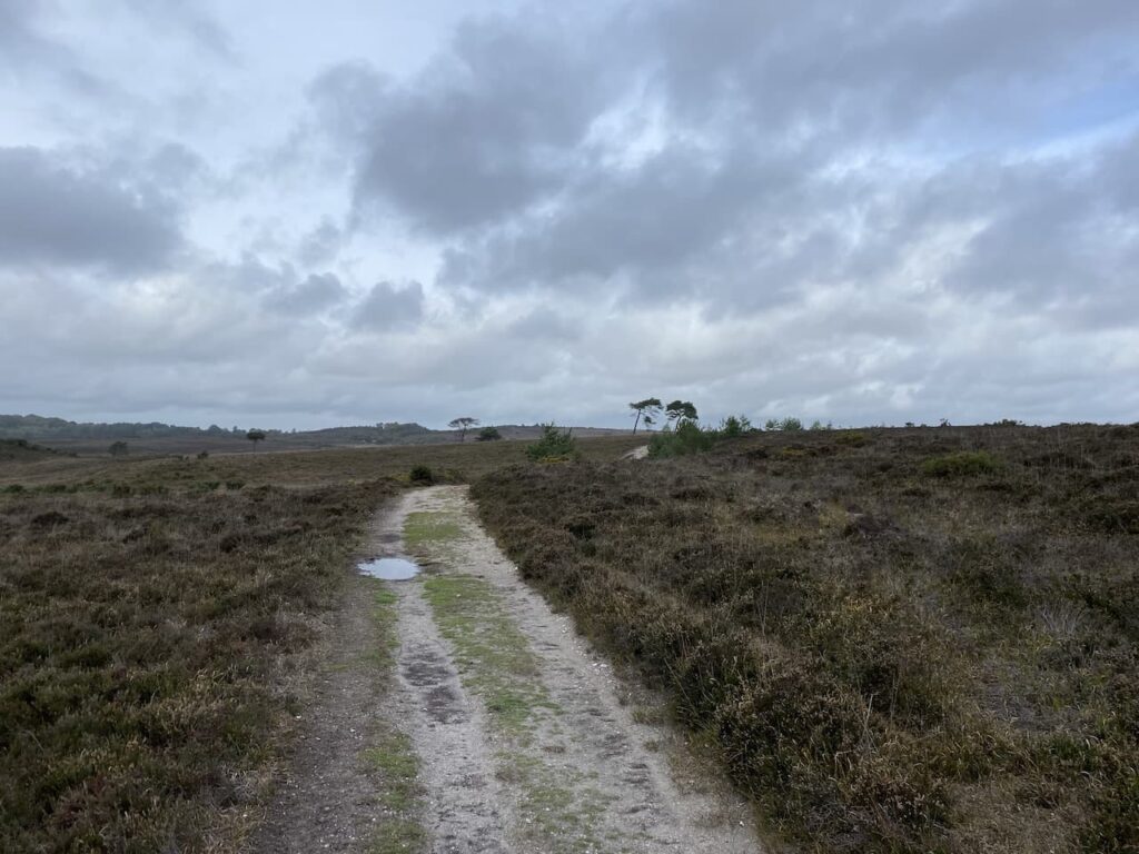
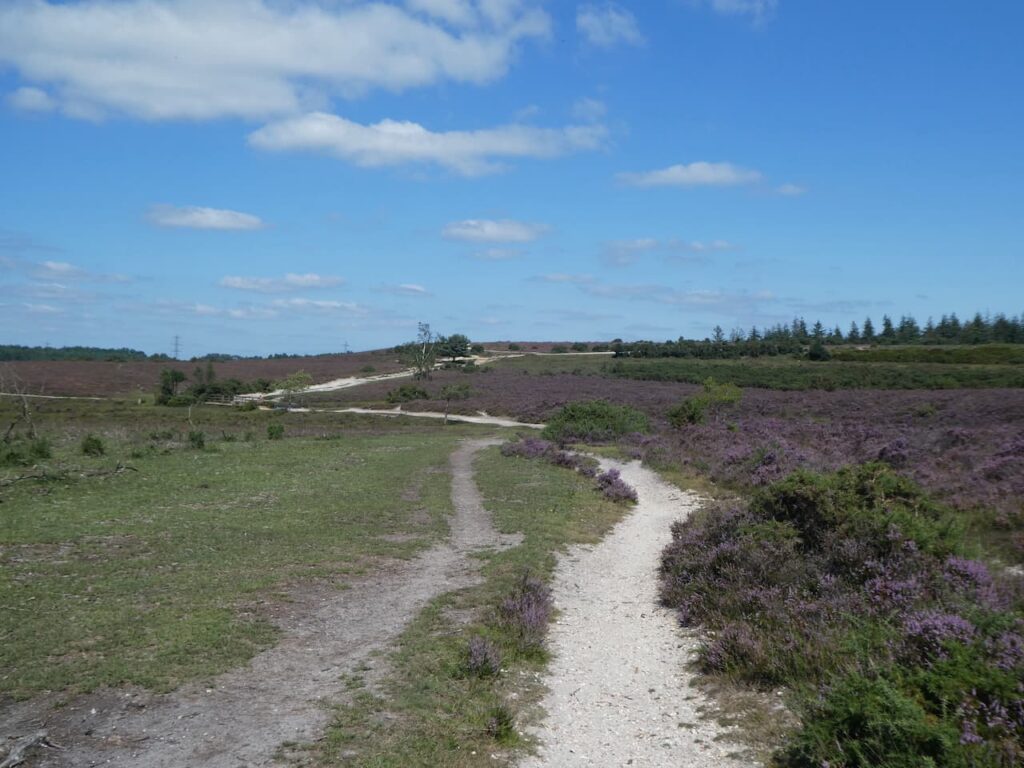
    This track takes us out of the woods and at a junction of tracks on Coopers Hill we turn right.  Despite being high up the heathland around the track is very waterlogged.

    During World War II this remote area of the New Forest was used as an RAF bombing range and the heathland is still littered with bomb craters.

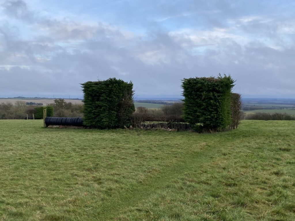
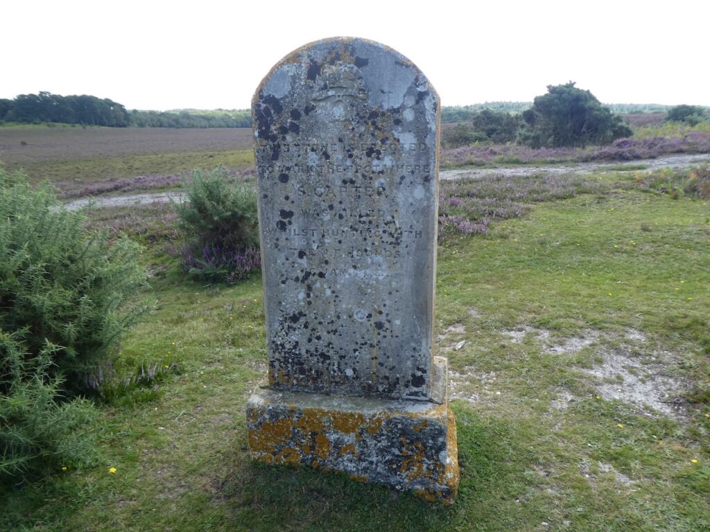
    Reaching a path on the left we leave the track and follow the path for a couple of hundred yards to meet another track where we turn left again and head south west towards a large clearing in the heathland.  This clearing is the site of “Walled Target 2” one of three walled targets in the area.

    On the ground there is the odd glimpse indicating wartime history, later a look at aerial maps of the area show clearly the scars left on the landscape.  We follow a path through the heathland, still heading south west towards a track on Lodge Hill.  

    At the track we turn left and soon start descending towards a clearing.

    The clearing in this area between Lodge Hill and Pitts Wood was the site of a former keepers cottage known as Ashley Lodge.  During World War II when the surrounding area became a bombing range the inhabitants were relocated.  The house soon became derelict and reduced to ruins, however eighty years later there are still indications that a house once stood on this spot.

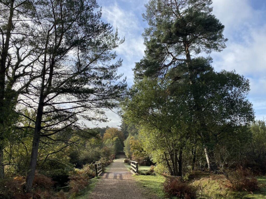
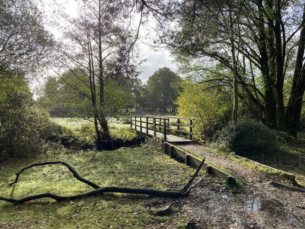
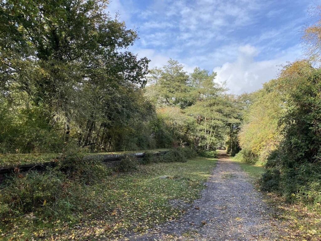
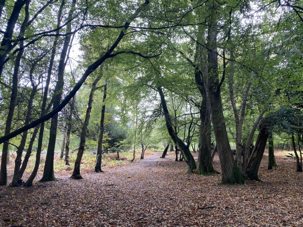
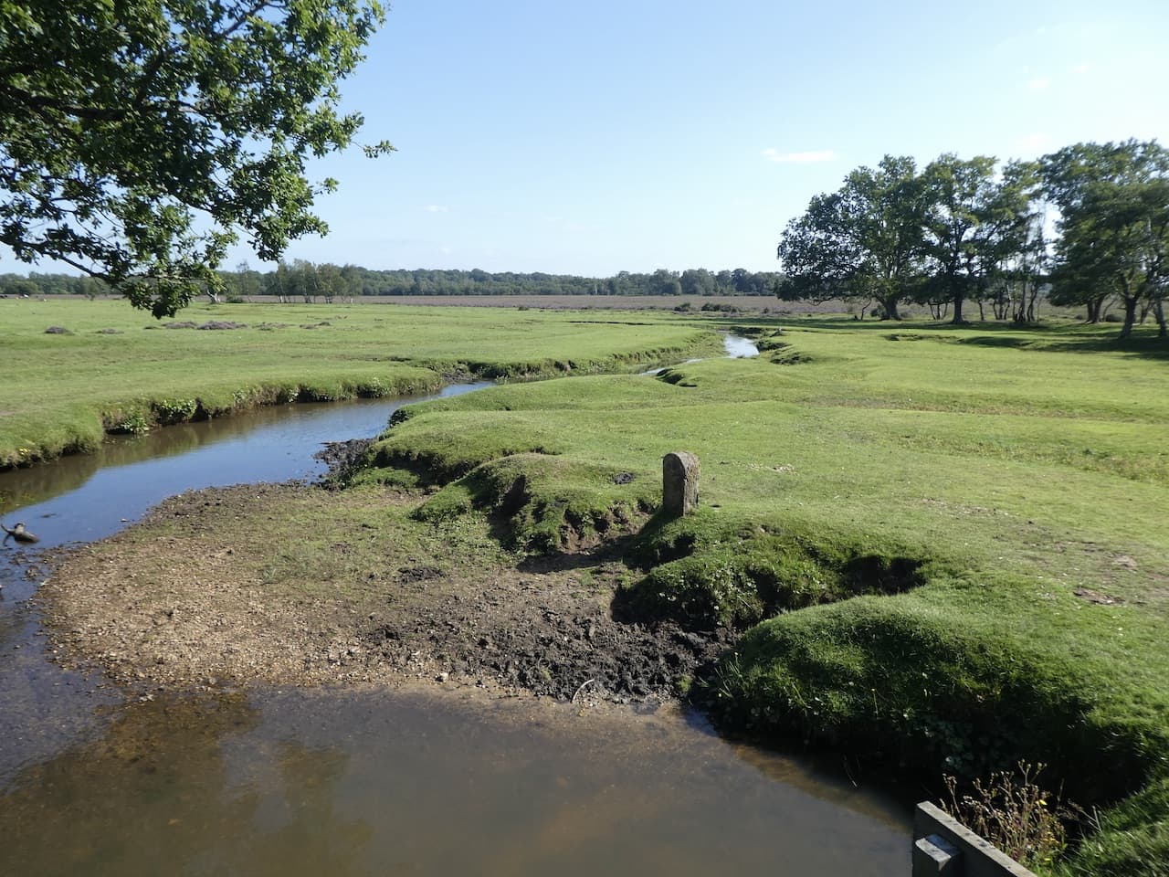
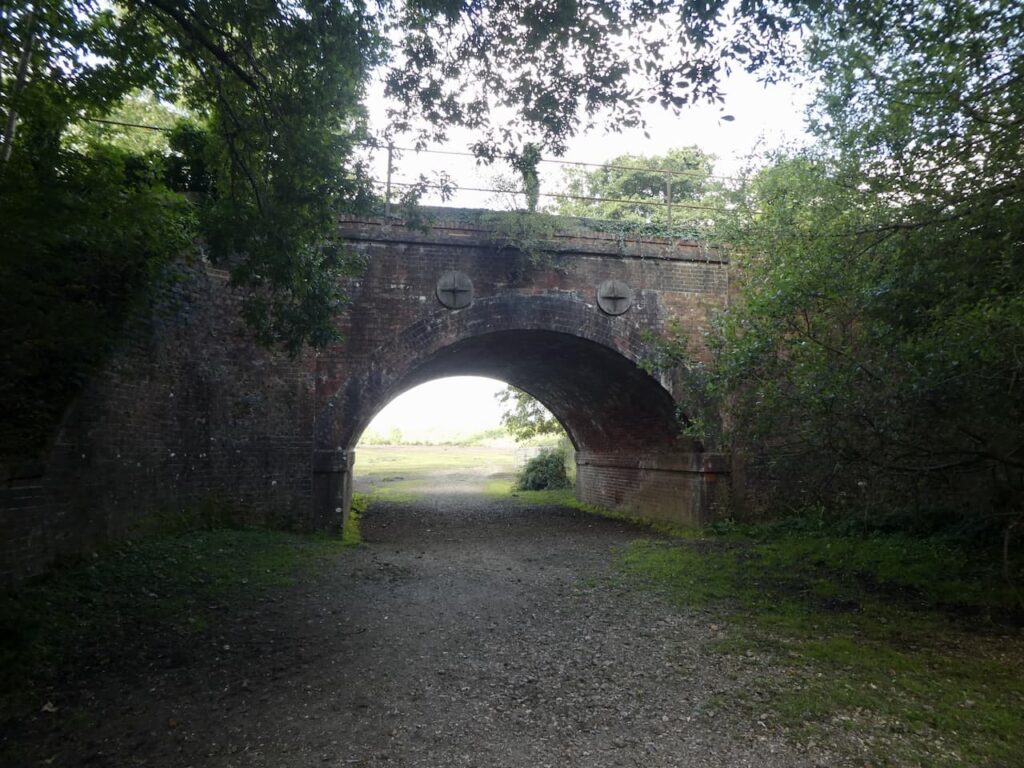
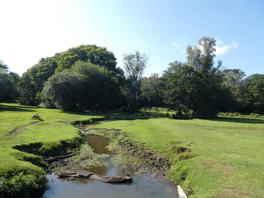
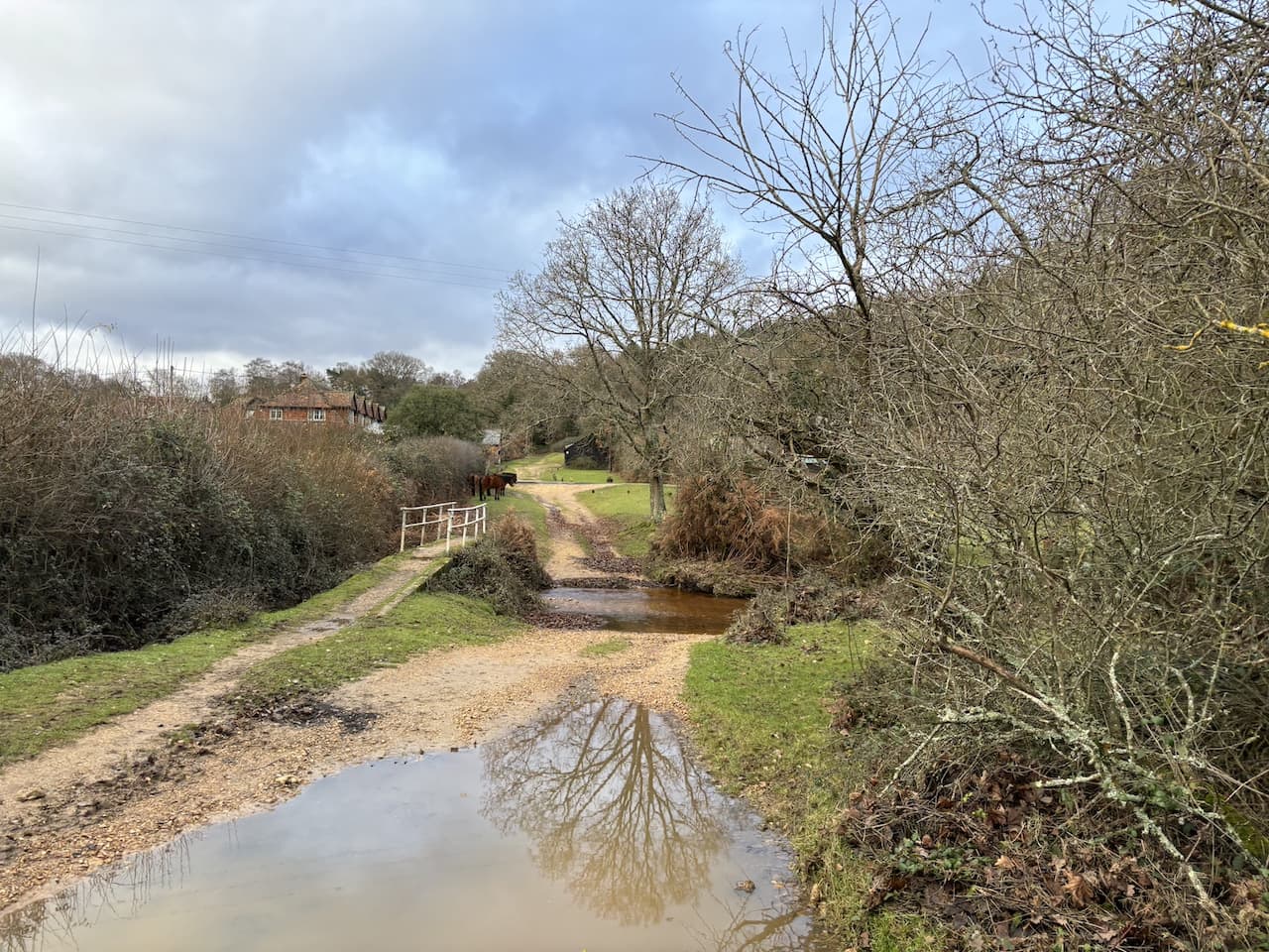
    Continuing along the track we cross a ford in Ashley Bottom and then head uphill to Pitts Wood.

    On our left is a plaque stating that Pitts Wood was enclosed in 1775 and thrown out in 1816 and then re-enclosed in 1906.

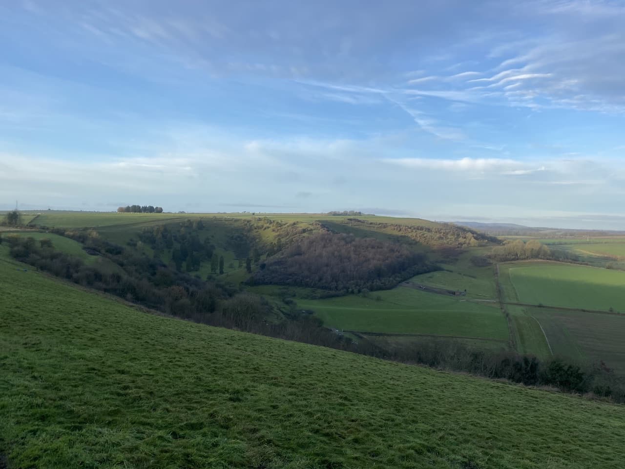
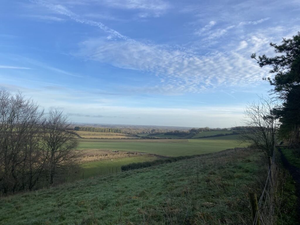
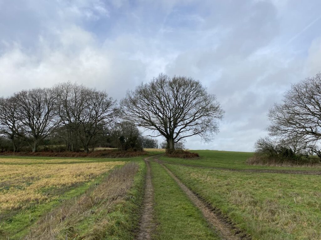
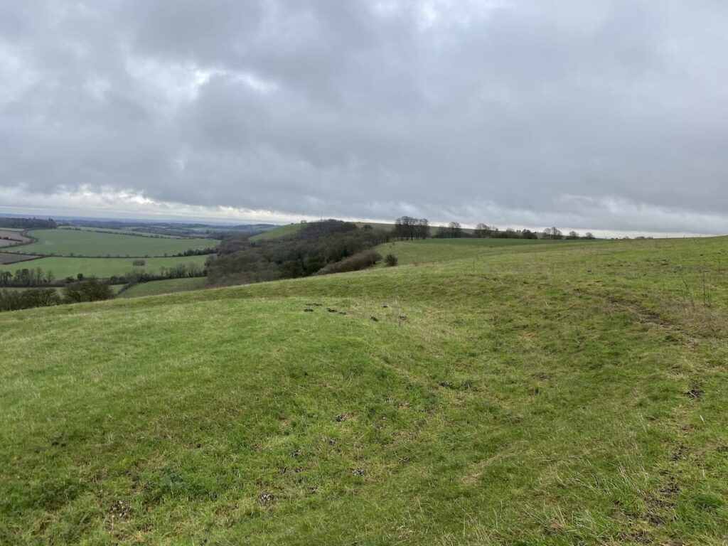
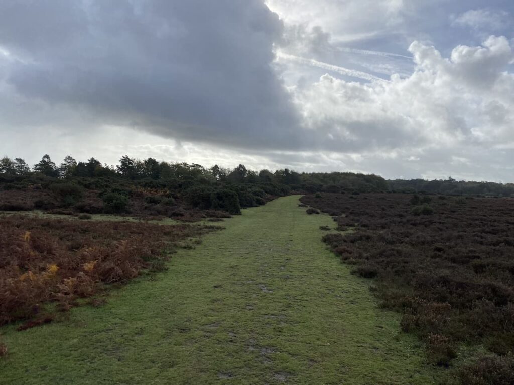
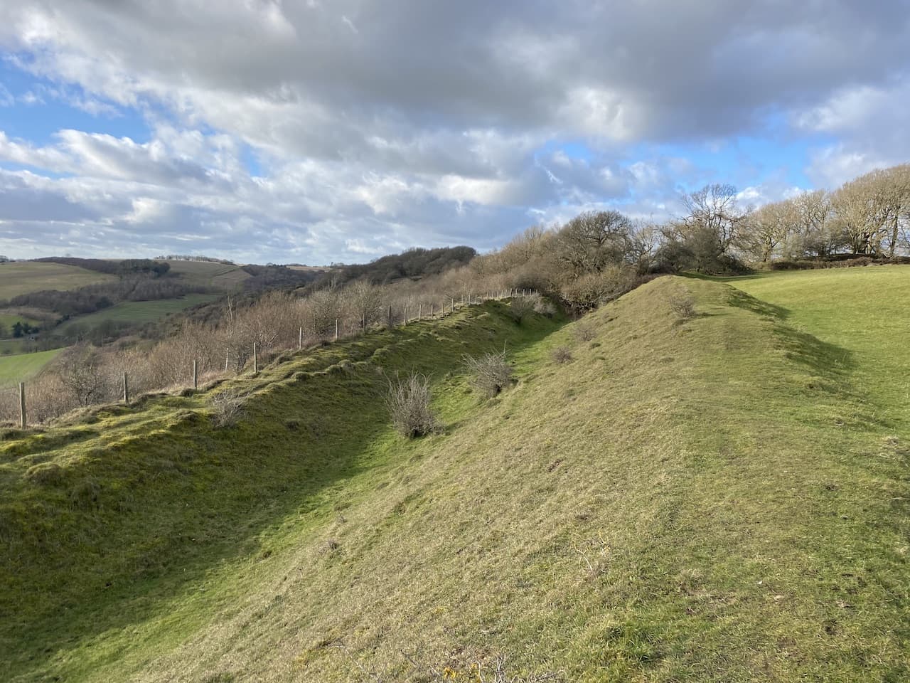
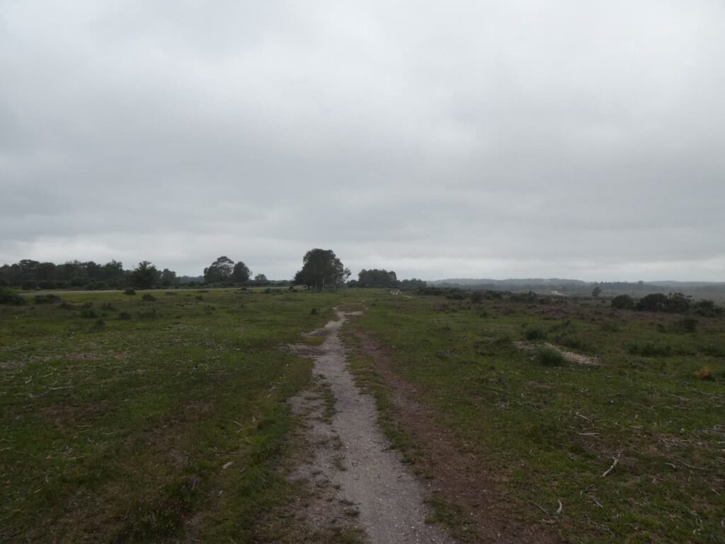
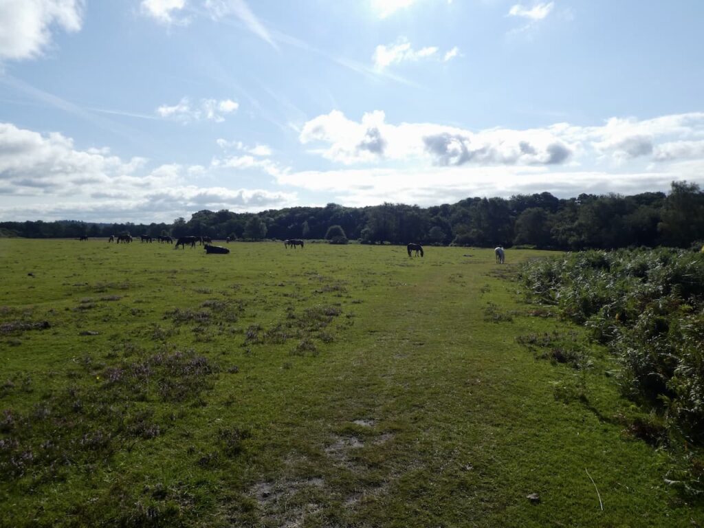
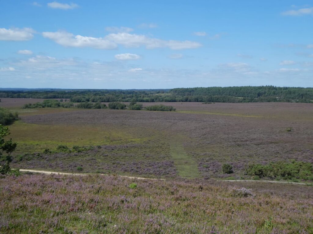
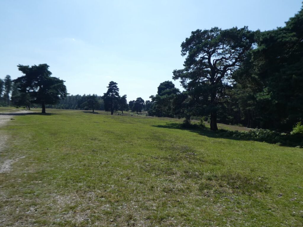
    We carry on through the edge of Pitts Wood before traversing across the flooded heathland towards Hampton Ridge.

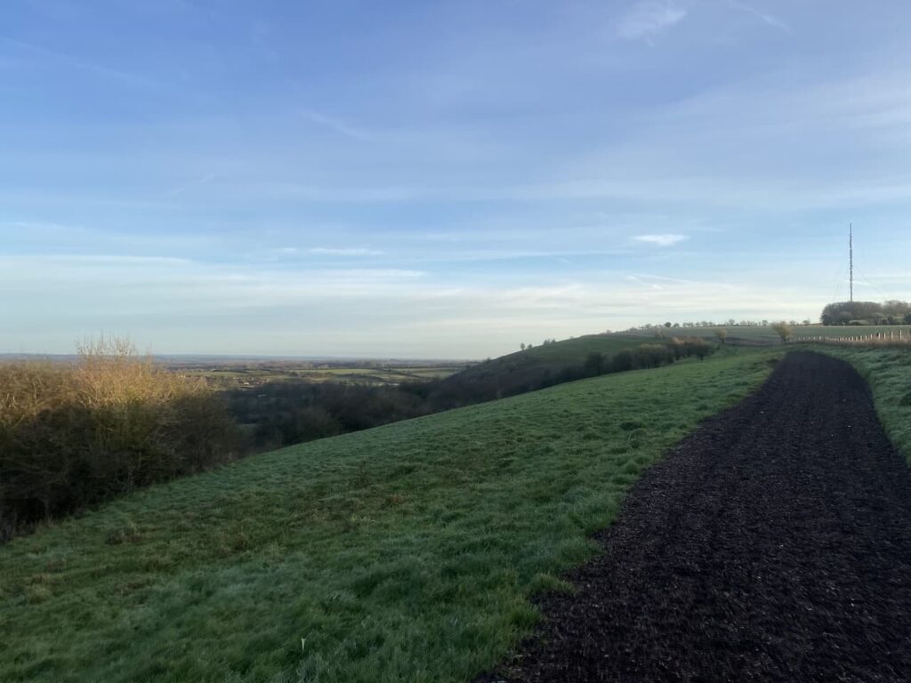
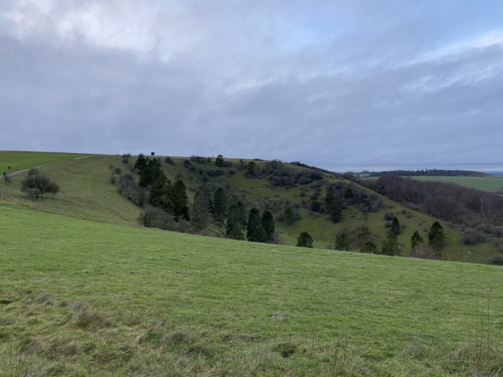
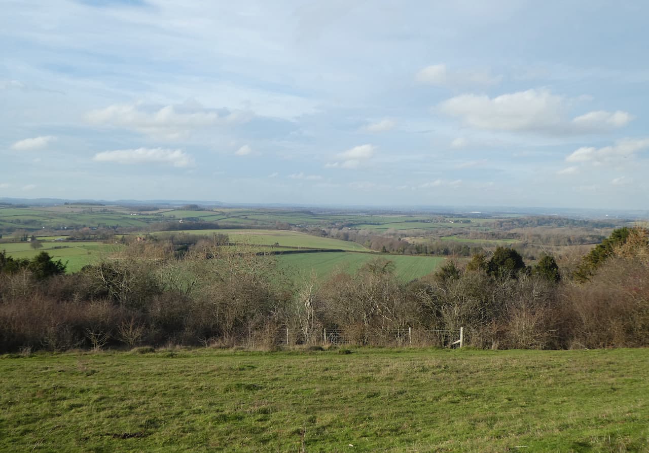
    Now high up we have wide ranging views across the New Forest.  

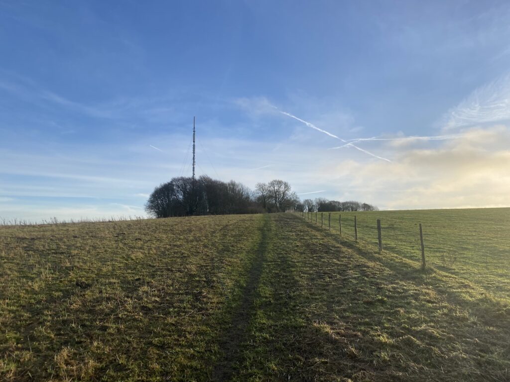
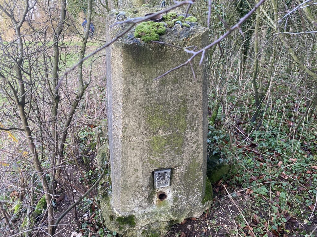
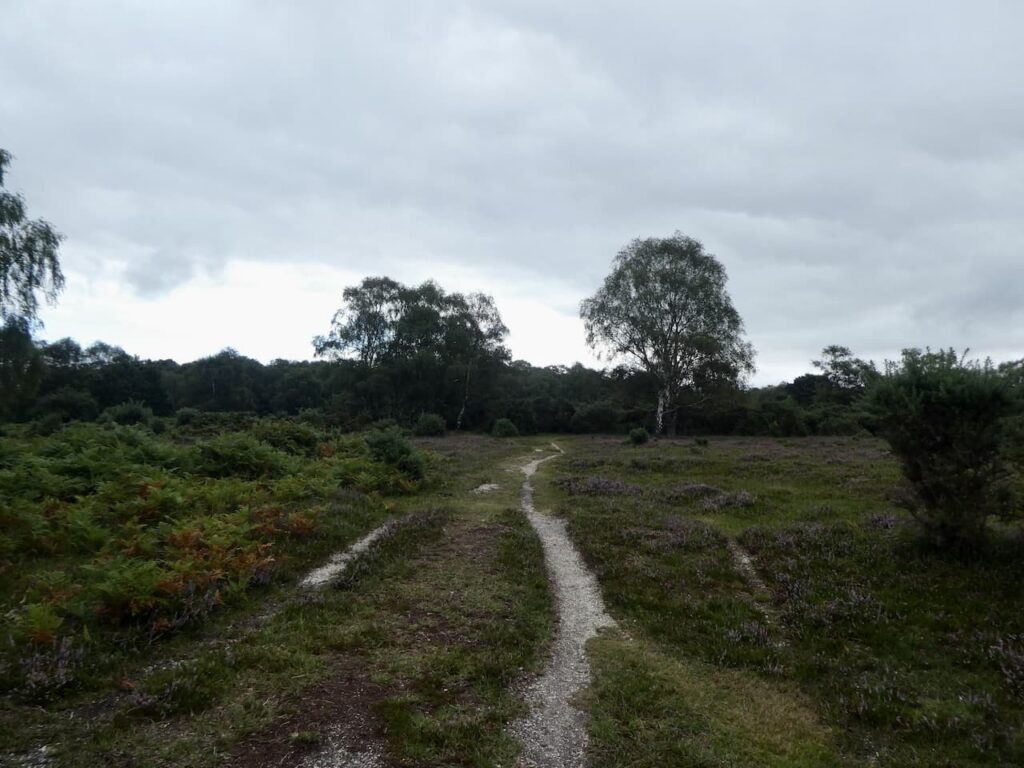
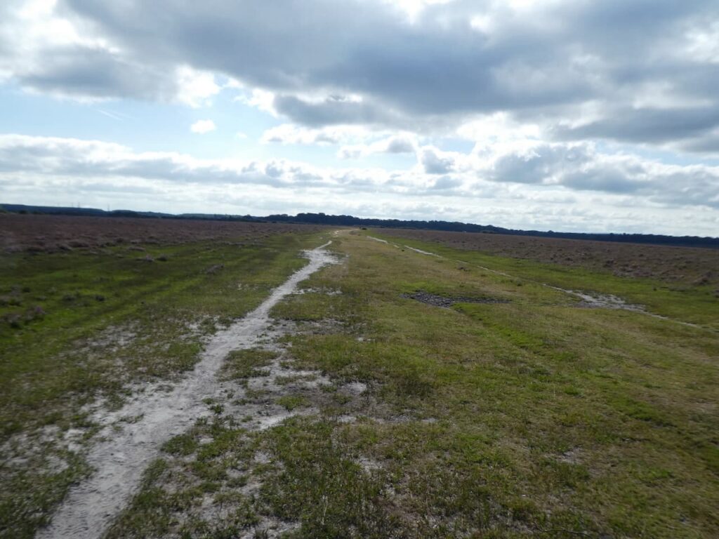
    We have joined a cycleway and follow this heading west.  After a couple of hundred yards we take a short detour from our route, following a path on the left running almost parallel to the cycleway. It passes a concrete directional arrow which formed part of the war time bombing range.

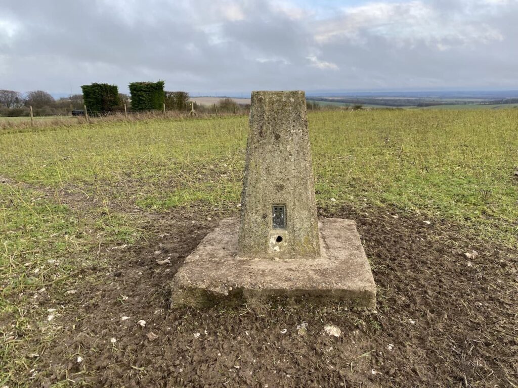
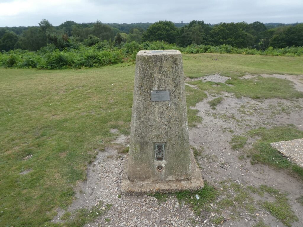
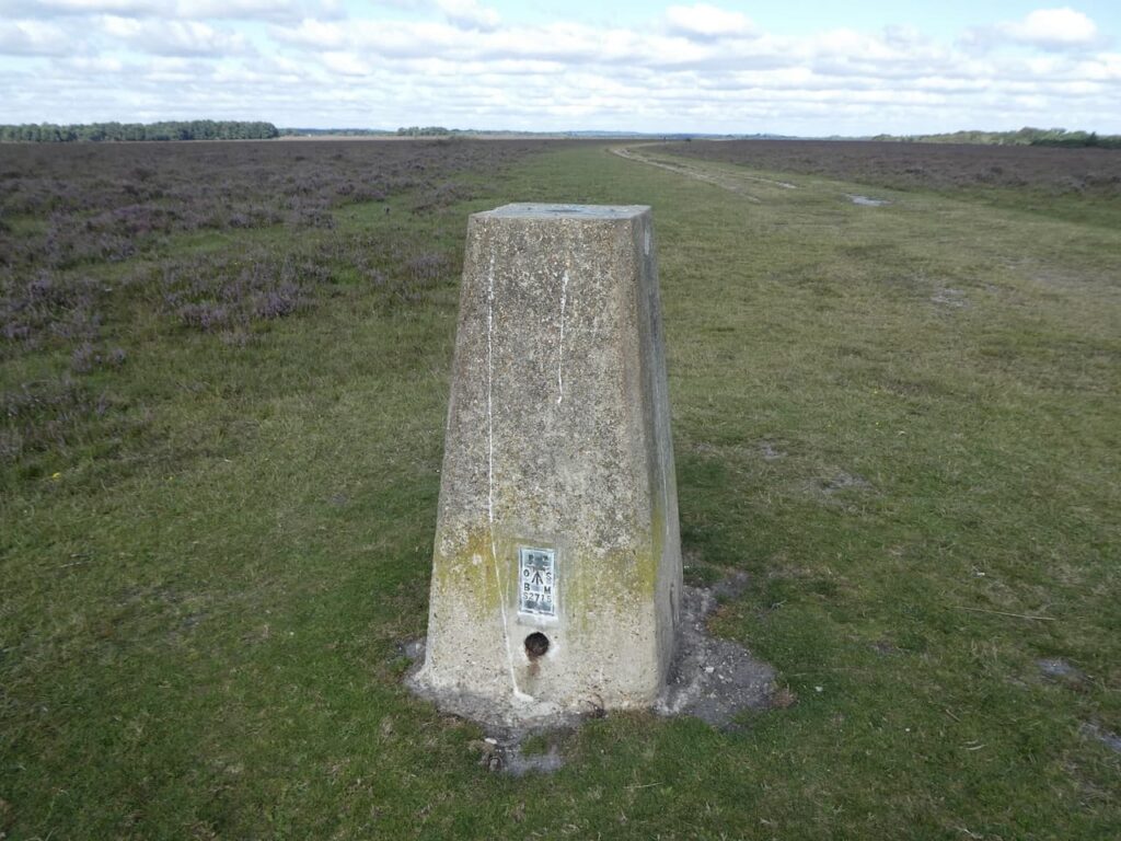
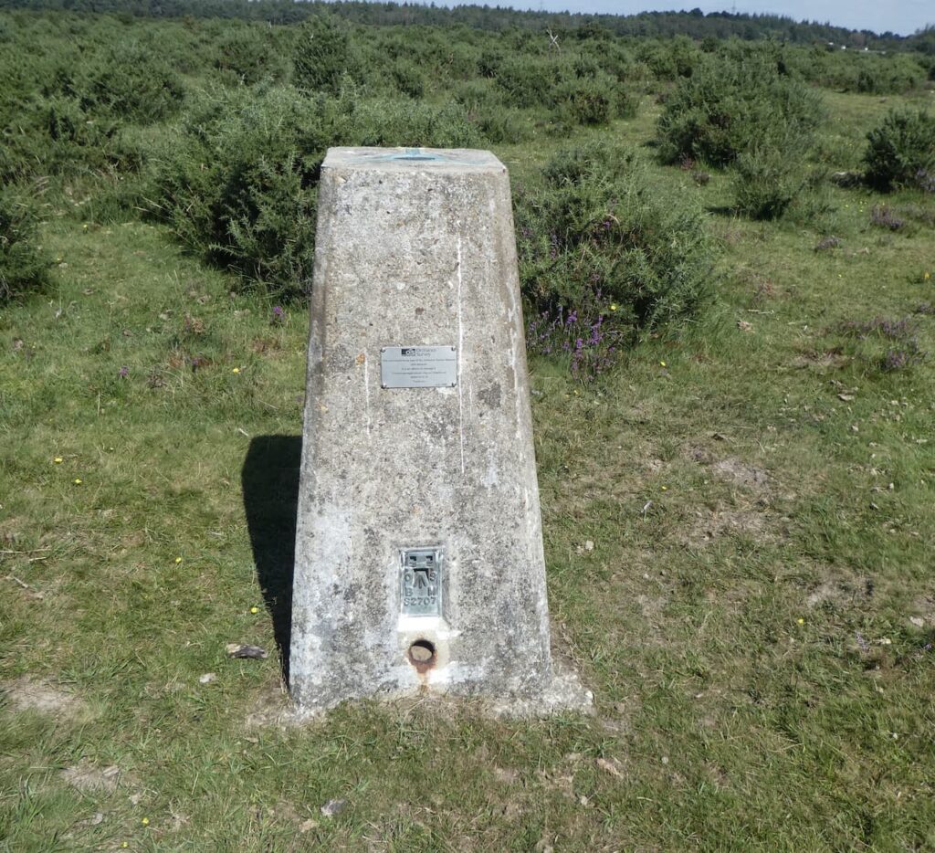
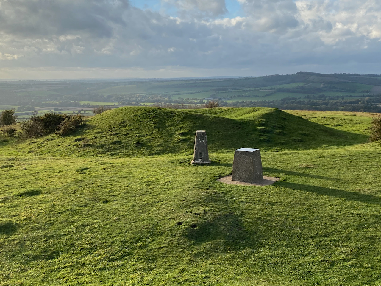
    We follow the path to rejoin the Hampton Ridge and then pass the Ordnance Survey Trig Pillar that sits on this ridge.  I have bagged this trig on a few occasions, but it is always worth making a slight diversion to look at a trig!

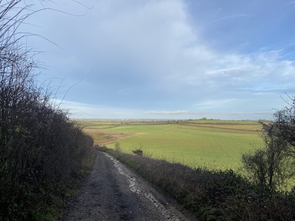
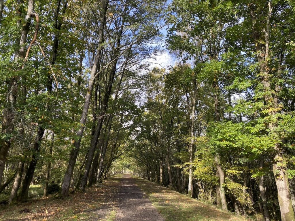
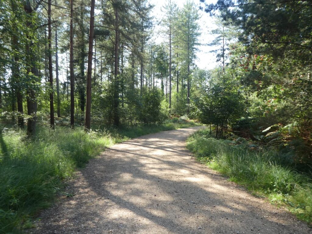
    Returning to the cycleway we keep on the broad gravel track towards Abbots Well and Frogham.

    The cycle way joins a minor road and we continue towards Frogham, before heading uphill we pass the Abbotts Well.  This inauspicious site is easy to miss but in medieval times it would have been a vital watering hole for travellers through this area of the forest as they headed towards Southampton.  The plaque besides the well states it was first recorded in 1215.

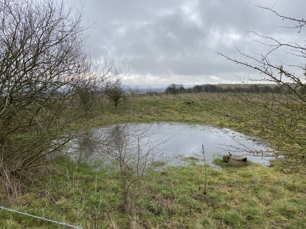
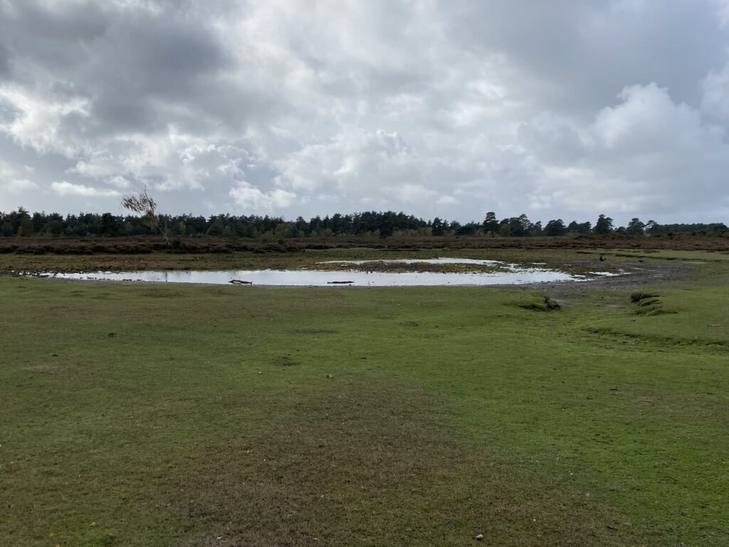
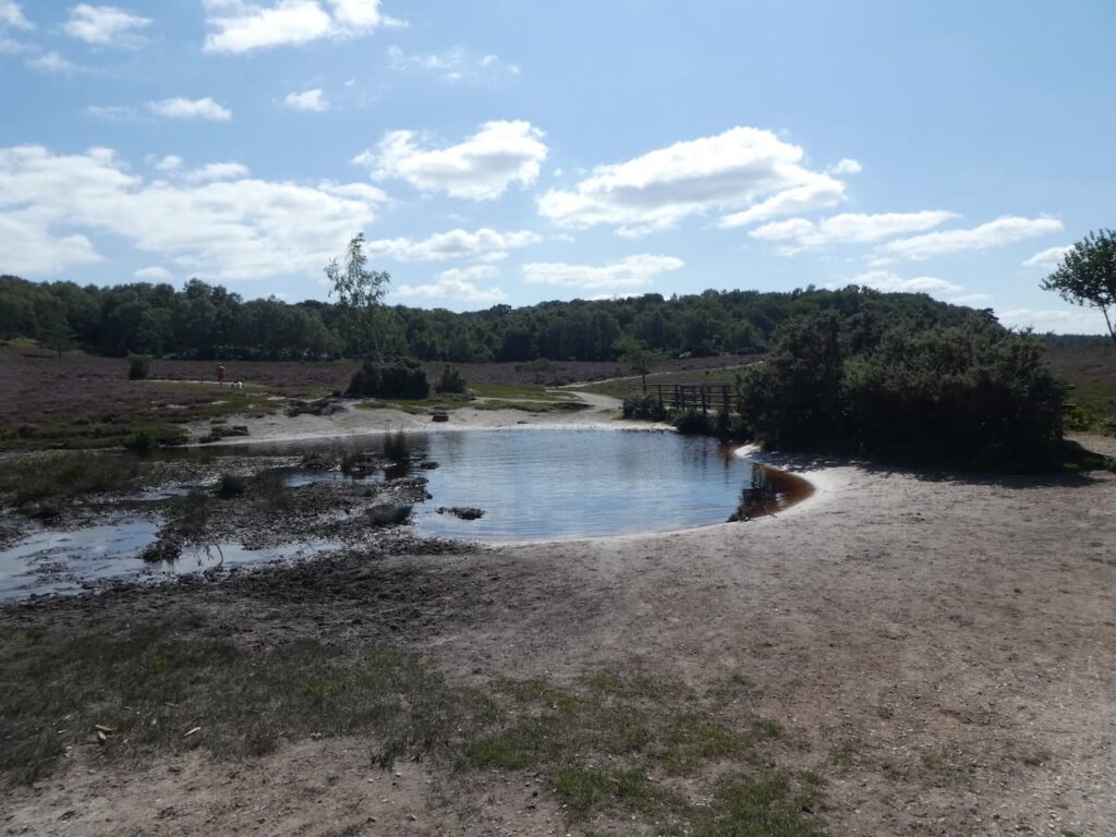
    After a short section on the minor road we turn left and walk through Abbots Well car park and pass a large pond before heading west onto Hyde Common.

    After passing properties the path goes towards the south west, crossing a minor road and continuing to the edge of Gorley Common.  Here we quickly take a track on the left leading towards Dorridge Hill.

    After crossing a footbridge beside a ford we go over a minor road and then continue to ascend  Dorridge Hill.  So far the weather has been kind to us and it has remained dry but the sky ahead suggests we might get wet at some point soon.

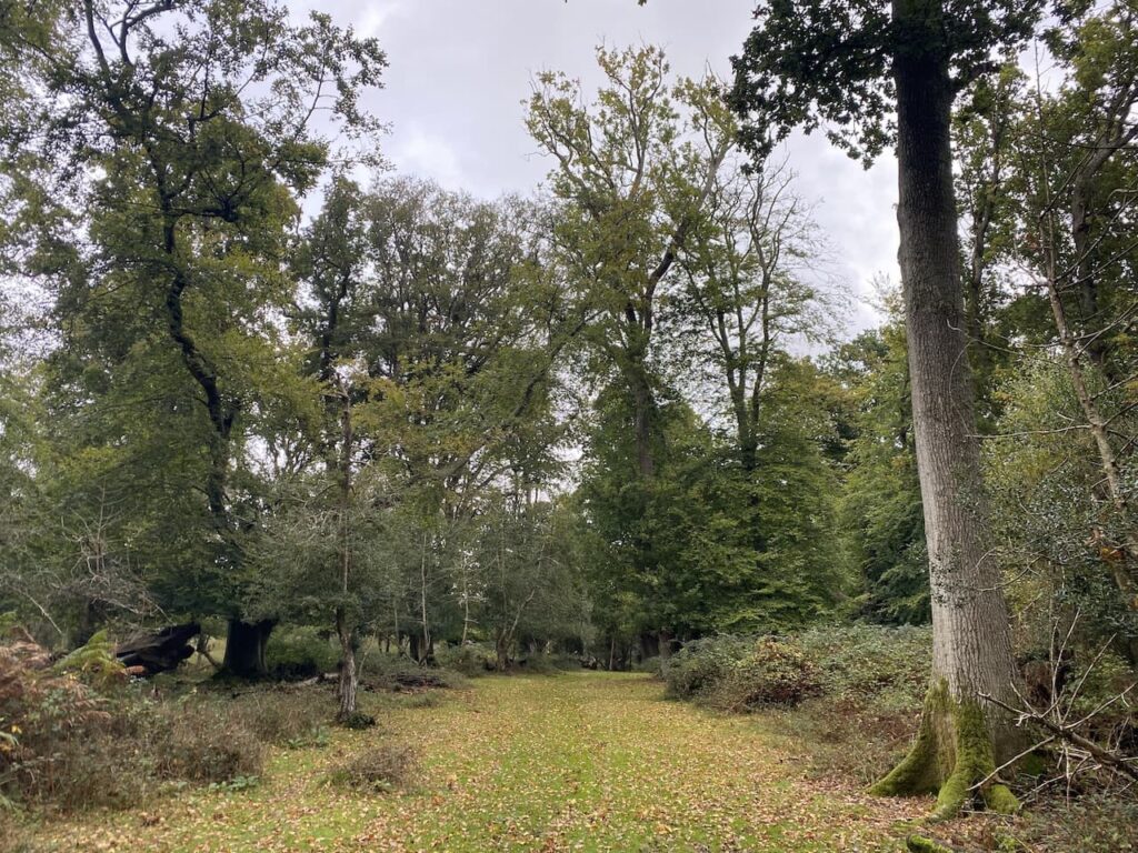
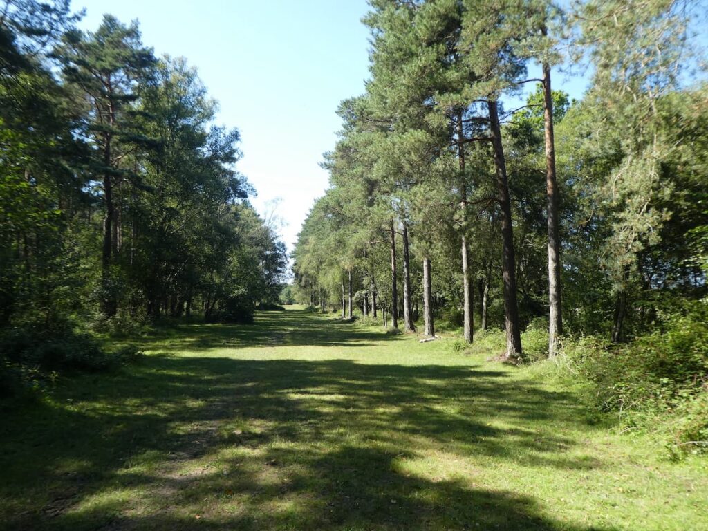
    We now follow tracks and paths towards Hasley Inclosure.

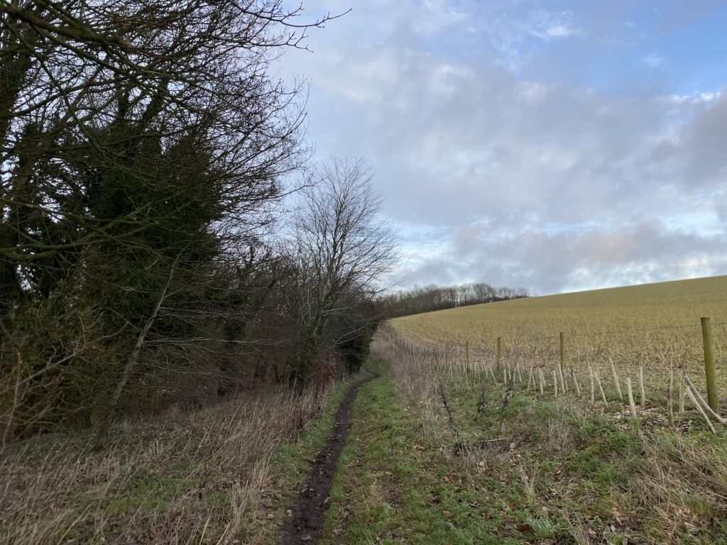
    We don’t enter the inclosure but instead take a track to the right that skirts the edge of the woodland.

    At the eastern edge of the inclosure we join a track going towards Sloden Inclosure but after a couple hundred yards at a junction of tracks turn right to head downhill towards Splash Bridge.

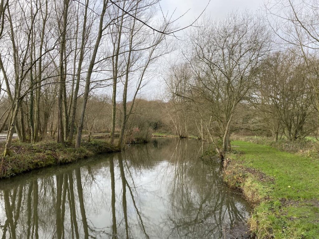
    Splash Bridge takes us over Dockens Water and into Broomy Inclosure.  

    In the Inclosure we turn to the left and follow a cycleway to a crossroads of tracks where we go left again.

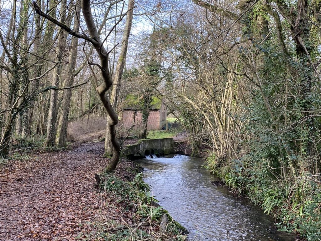
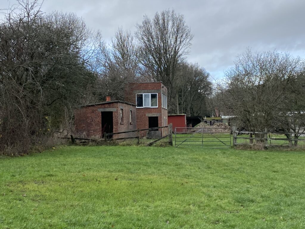
    On leaving the woods the track goes to the right passing Holly Hatch Cottage and we cross  Dockens Water again.

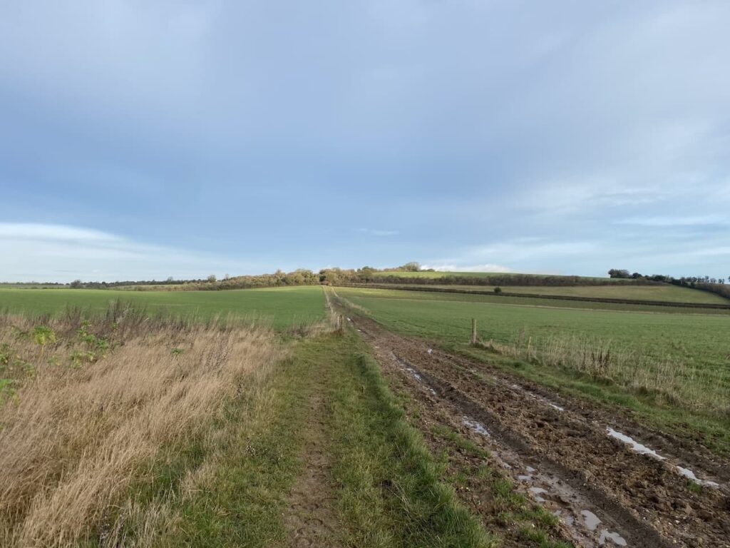
    The track now heads up to Ragged Boys Hill and passes woodland beside Sloden Inclosure.

    Near a gate to the inclosure we join a track and head northeast across Hiscocks Hill on a track returning us to our starting point.

    Our walk has covered just over thirteen miles and despite the threatening sky we have avoided any serious rain.

    You can view this 13 mile walk on OS Maps and download the GPX File Here

    To follow this walk you will need Ordnance Survey OS Explorer Map 22 – New Forest

    13th December 2023

    © Two Dogs and an Awning (2023)

    All information on this site is provided free of charge and in good faith and no liability is accepted in respect of damage, loss or injury which might result from it.  To the best of my knowledge the routes are entirely on public rights of way or within areas that are open for public access.
    Walking can be hazardous and is done entirely at your own risk.  It is your responsibility to check your route and navigate using a map and compass.

  • Walking on Watership Down

    Walking on Watership Down

    A new walking year starts and once again I am undertaking a “walk the year” challenge.  This is the sixth year I have undertaken this quest, so this year I will be aiming to walk at least 2,023 “boots on” miles.  Since starting this challenge in 2018 I have walked over 12,500 miles which is equivalent to half way around the world.  On today’s walk I am joined by my walking buddies Mandy, Gary and Nigel.  We are going to explore a part of Hampshire I have not previously walked and hopefully bag a couple of new trig pillars.

    The starting point for our walk is the car park at the top of White Hill on the B3051 south of Kingsclere (Grid Ref. SU 516565).  It is a chilly morning so we don’t hang around and are soon heading off to leave the car park to the north and after going through a gate follow a track along the top of access land on Stubbington Down.

    This area is home to horse racing stables and it is clear the track has been laid for the benefit of horses rather than walkers.  At a junction of footpaths we turn right and head south to another path junction where we turn left and continue along the edge of a field heading towards the Hannington wireless tower on Cottington’s Hill.

    This tower broadcasts television signals.  Apparently for a six minute period on 26th November 1977 the broadcasts from the tower were hijacked and instead of Southern TV news a broadcast purporting to be from Vrillon an alien from the Ashtar Galactic Command.  Extensive investigations failed to identify the individuals responsible for this prank.

    On reaching a gate in the corner of the field our route goes to the left, but first we make a short diversion so I can bag a trig.  To do this we go through the gate and follow the path for 100 metres and the trig is at the edge of woodland to the right.  This trig has been moved from its original location which was further into the field.  

    It’s never good to find a trig has been moved, but at least it has not been destroyed.  This is my 357th trig.

    From the trig we return to the gate and now turn right to head downhill to woodland on Freemantle Park Down.  Entering the trees we turn right and follow a footpath that heads east.

    It is a cracking morning and as we emerge from the trees we get wide ranging views.

    We stay with the path until we reach a track where we turn left to head north downhill.

    The path soon levels out and continues between arable fields.

    At a junction of paths we take the second path on the left and head towards Kingsclere.

    On reaching a fork in the track we go left and follow this track until we reach a playing field where we follow the footpath as it goes diagonally downhill to the north west corner of the playing field.  On reaching a road we cross and follow a residential lane to the centre of Kingsclere where we stop for our elevenses on a bench in the churchyard of St Mary’s.

    Parts of this church date to the 12th century but most of the current church dates from a rebuild in the 19th century.  I take a tour around the churchyard to see if there are any interesting gravestones.  

    One grave in particular stands out, this is the resting place of John Porter (1838-1922), he was considered the greatest racehorse trainer of the Victorian era.  Porter also lobbied the Jockey Club for a racecourse at Newbury.  Apparently they declined until Porter gained the support of King Edward VII after which there was a swift change of mind and the now famous Newbury racecourse was approved.

    From the church we head south west through the village along Swan Street.  At a junction we turn right into Bear Hill and soon cross a stream.  

    At the top of Bear Lane we turn briefly right into Fox Lane, clearly there is an animal theme to the naming of streets in this village. We are only in Fox Lane for a few yards before taking a footpath on the left.  This path is part of the Brenda Parker Way, a 78-mile route across Hampshire from Aldershot to Andover.

    This path goes along the edge of a field and skirts Bishop’s Hill.

    At a junction of paths by a barn we turn right and head north to a minor road where we turn right and then almost immediately take a path on the left. 

    We stay with the Brenda Parker Way heading north and keep with it around Frobury Farm passing fishing lakes.

    The path skirts the edge of Frobury Park Copse and then goes through Southwood Copse to a crossing of paths.  We turn right keeping with the Brenda Parker Way in a northerly direction towards Kisby’s Farm.

    We are keeping to the Brenda Parker Way all the way to Burghclere. Near Kisby’s Farm we turn left and continue along a track towards a road which we cross and continue on a track towards Birch Copse and Waterleas Copse.  On reaching a minor road we turn right and after a couple of hundred yards turn left along a track.

    The track heads between fields towards Pembroke House.

    We pass the house going through the grounds, then the path continues along the driveway of the property to reach a minor road which we cross and continue through woodland with a school to our left.  At the next road we turn left into Well Lane and walk into Burghclere.

    Soon we reach a fork in the road where we go to the right to join Harts Lane and follow this to reach the Church of Ascension where we turn left and pass the village hall and then take a left to enter a park with picnic benches. An ideal lunch spot.

    Refreshed we retrace our footsteps towards the church but take a footpath on the left just before reaching it.  We are now heading south across fields.

    On reaching a minor road we turn right and then very quickly take a footpath on the left and rejoin the Brenda Parker Way.

    In the field to our left is an old signal box which was part of the former Didcot, Newbury and Southampton railway.

    We now turn left to walk along the route of the old railway line which fully opened in 1885.  During World War II it was a significant route in moving troops and supplies to Southampton.  However after the war the number of trains on the line declined and by 1964 all trains had ceased.

    After going under a railway bridge the path goes to the right to rise up to a track which uses the bridge to cross the old railway.  Here the Brenda Parker Way goes left, but our route is to the right along a broad track leading towards a minor road.

    At the road we turn right and head south passing Wergs Farm to reach a road junction.  Here we cross the road and continue along a track which soon starts to ascend Ladle Hill.

    As the path levels out it goes between fields to reach a junction of paths at a flint cairn.  Here we turn left to join the Wayfarer’s Way.  This is a seventy-one mile long distance path from Walbury Hill near Inkpen in Berkshire to Emsworth on the Hampshire coast.

    Our route now follows along the Wayfarer’s Way back to the car park.  This soon takes us besides the open access land on Ladle Hill where we take a slight diversion through a gate towards the site of the Iron Age Hill Fort.  Apparently despite being occupied for hundreds of years this is considered an unfinished fort.

    To the north of the ramparts is an interesting disc barrow.  On my walks I have visited numerous barrows and tumuli but I can’t recall seeing a burial mound like this one.

    We head back to the gate and pass a dew pond, these ponds are regular features on chalk downs.  They are man-made being excavated and then lined with clay so rain water is captured to provide drinking water for livestock.

    Heading east we reach a junction of paths and turn left and then right through a gate with a collection of way-markers showing that along with the Wayfarer’s Way we are now also on the Three Shires Link and the Watership Down Trail.

    Watership Down Trail is a twenty-four mile circular walk from Whitchurch, so something to do later in the year when the days are longer.

    We now head through a field and descend to join a track where we turn left and then reach a minor road.  Crossing the road we join a footpath on the opposite side heading steadily uphill to Watership Down.

    After going through a gate we follow the fence line and then I hop over and walk across the stubble to bag the Watership Down trig pillar that sits just inside the field.

    Back on the footpath we pass jumps on the gallops and then join a track heading east.

    Watership Down was of course made famous by Richard Adams’ book of the same name.  It was Adams’ first book and apparently was rejected by all the major publishers before being accepted by Rex Collings who  published it in 1972. 

    In 1978 it was adapted into a feature film and the story of the rabbits on the Down became very well known.  Strangely despite rabbits being the focus of the book we have not seen a single one today.

    The track we are on goes between gallops and continues all the way back to our starting point in the White Hill car park.

    Back at the car we have completed a sixteen mile circuit.  It has been a cracking walk in unfamiliar countryside, I am sure we will revisit this area before too long.

    You can view this 16.3 mile walk on OS Maps and download the GPX File Here

    To follow my walk, you will need Ordnance Survey Explorer Map – 144 – Basingstoke, Alton & Whitchurch, Odiham, Overton & Hook;  and OS Explorer – 158 Newbury & Hungerford

    6th January 2023

    © Two Dogs and an Awning (2023)

    All information on this site is provided free of charge and in good faith and no liability is accepted in respect of damage, loss or injury which might result from it.  To the best of my knowledge the routes are entirely on public rights of way or within areas that are open for public access.
    Walking can be hazardous and is done entirely at your own risk.  It is your responsibility to check your route and navigate using a map and compass.

  • Reaching 2,022 Miles in 2022

    Reaching 2,022 Miles in 2022

    This is my fifth year of walking the year, I started in 2018 with a challenge to walk 2,018 miles in the year and in doing so sought to raise over £2,018 for the Trussell Trust.  It was supposed to be a one off but it has become an annual event partly because the need to raise funds for this excellent charity, supporting those living in poverty, is even greater than it was five years ago.  In itself a terrible indictment of the political leaders who have become obsessed in extricating the Country from our European neighbours and ignored the most vulnerable in society.  As the Billy Bragg song goes there will be a day of reckoning, hopefully sooner rather than later!

    Walking soothes my soul.  It helps me manage the challenges of life and keeps my head on the right way around.  So I don’t need a mileage target to motivate me to lace up my boots and head out.  However, having the target means on days when I have walked a couple of miles and could turn for home I keep going.  

    Despite being on the cusp of reaching this year’s target with well over two months to spare I have found 2022 the most challenging year.  This is mainly due to picking up an ankle injury in the spring, it required rest, but I don’t do rest well and tried to punch on.  Of course it soon reached the stage where I could not walk more than a quarter of a mile without being in agony.  Thanks to excellent treatment and a recuperation period involving rest and exercises I gradually got back to full walking fitness.  However, it took almost three months before I was back to doing long distances. 

    It had never occurred to me that an injury could curtail my walking.  I am not an elite athlete but considered myself able to comfortably walk twenty miles a day for a prolonged period without any problem.  So an injury made me appreciate how athletes and sports players must feel when they pick up injuries which put them out of action for weeks or months.

    Knowing I am only seven miles from reaching 2,022 miles I have decided to venture somewhere different for today’s walk.  I don’t often go into the New Forest despite it being fairly close to home.  But doing the National Navigation Award Bronze and Silver courses with Nigel from New Forest Navigation introduced me to parts of the Forest I had not previously visited.  Today’s walk starts in Anderwood, a few miles south of Lyndhurst just off the A35.

    The starting point for my walk is the Forestry England car park at Anderwood, (OS Grid Reference SU248058).  From the car park I head south through a clearing and cross a minor road to enter Dames Slough Inclosure.

    The track I’m following heads south through the trees and crosses a footbridge over Black Water.

    150 metres from the bridge I ignore a track on the right, instead I continue south and then stay on the track as it sweeps to the right.  The track leads to a gate which I go through before continuing  west towards Cockroad Hill.

    About 700 metres past the gate I reach a junction of tracks and turn left and stay on this path for 200 metres before turning left along a ride which heads south to a gate at the edge of the inclosure.

    Turning left I follow the inclosure fence line to cross two footbridges and then follow a path in a south easterly direction over Redrise Hill.

    After crossing the hill I descend to reach another footbridge.

    Now I continue heading south, initially crossing a stream and then heading uphill on a clear track leading to the top of Rock Hills.

    As the track levels out I turn left at a junction of paths and after 250?? metres turn right on a grassy track. To my left near the A35 is the Parkway Hill OS trig pillar, I have previously bagged this trig so don’t make the diversion today.

    The path leads to a junction of paths near the A35 at Wilverley Post.  I initially continue south but after 25 metres turn to the right to follow a path down a valley into Scrape Bottom.

    I had initially planned to turn left at a junction of paths, however, decide to follow a faint path that follows the contour line around the hill and heads south towards a minor road.

    I cross the road beside a cattle grid and then turn left to take a pathway besides the road which leads to a path along a disused railway track.  I turn right and walk beside the remains of the platform of the former Holmsley Railway station.  Apparently when the station was opened in 1847 it was known as Christchurch Road but was changed to Holmsley in 1862.

    I now follow the track bed of the old Southampton to Dorchester railway line.  This was opened in 1847 and was part of a greater scheme to create a coastal route from Southampton to Exeter.  The railway operated for passengers until the 1960’s. Apparently there has been a campaign to re-open this section between Brockenhust and Ringwood, but it is currently viewed as a low priority.

    My route is very straightforward following the railway line for 2.5 kilometres heading west towards a car park at Burbush.

    It is now a cracking day and it is clear this section of path is a popular venue for weekend walkers and cyclists, so I am grateful when I reach the car park at Burbush.  After walking through the car park I cross a minor road (Pound Lane) and then take a path that heads north westerly towards Long Pond.

    The path goes to the north of the pond, which following an exceptionally dry year looks more like a large puddle.  Even the rainfall of the last few days has had little impact.

    I now take a clear path heading north through Church Moor towards Black Bush.  At a fork in the track I keep to the left following the wider of the two paths.

    At the next junction of paths I go to the left heading towards a minor road.  At the road I cross and continue, soon reaching a fork in the path where I keep left to head through Broad Bottom.  There are a network of paths but I have the clear landmark of Vereley Hill Mast in front of me.

    The path goes up the hill and then passes a copse heading towards Vereley car park.

    After passing the car park I continue straight on along a clear path through the gorse and bracken.

    At a junction of paths I go straight on through a gap in the gorse to reach Smugglers Road.  This is a broad track and I turn right.  During the 1700’s and early 1800’s the New Forest was rife with smugglers, the proximity to coastal inlets and close knit communities provided an ideal environment to avoid the attentions of excise men.  Burley is thought to have been a smugglers haunt.  Apparently when renovations were undertaken at the Queens Head Inn in the late 1900’s a secret cellar which still contained firearms and contraband was discovered.  Smugglers Road linked the hamlet of Knave’s Ash with the trading post at Ridley Wood.

    After 300 metres I reach a road, where I turn right and walk the short distance to reach a Milestone which dates back to the early 1800’s, it shows that I am currently 3 miles from Ringwood and 11 miles from Lymington.  It also signifies that the road here was once a turnpike road because Milestones did not come into general use until the Turnpike Act of 1766 made them compulsory on turnpike roads.  This was an early form of PFI construction because  these roads were built by private enterprise under licence from the Government and maintained by tolls on those who used them. 

    I now cross the road and turn right and follow a track for 100 metres and then turn left on a track that heads east towards Vereley Woods.  In the woods the track continues towards the entrance to Vereley Farm.

    On the track I turn left and follow a clear path towards Ridley Wood, this path initially goes downhill to cross Mill Lawn Brook.

    After crossing the brook I continue on the clear path heading north to reach Ridley Wood.  In the past these woods were the location of a popular trading post where forest folk and those from further afield, including Salisbury and Winchester, would gather.  Therefore, it was also popular with smugglers seeking to sell their contraband.

    At a junction of tracks I go right and head east on a clear path through the trees and on reaching a junction of tracks continue straight on along a path known as Sir Dudley’s Ride.  The route is so called because it was named after Sir Dudley Forewood in recognition for services rendered to the New Forest as Official Verderer from 1974 to 1982.  In his early life he was also the sole equerry to the Duke of Windsor after his abdication in 1937 until the outbreak of war in 1939.

    When I come across commemorative paths or plaques to the “great and good” I am often left wondering how many other more ordinary people have given time and effort to a community without any recognition for their dedication. 

    This track crosses a brook and then ascends steadily to go through the edge of Berry Wood to reach a tarmac drive where I go left passing the entrance to the Old House which was once the home of Sir Dudley Forewood.  I soon reach a junction of paths where I turn right through an area marked on the map as Soarley Bottom.  

    I am now heading east and keep going in this direction at a junction of paths to head towards a gate leading into Beech Bed Inclosure.

    In the woods I follow a broad grassy track, still heading east.  As I stroll along I can hear the distinctive sounds of stags bellowing, it is currently the rutting season and I am wary of getting too close to any stags.  The calls seem nearby, I can’t see the stags but proceed with caution.

    At a junction of paths I cross a cycleway and continue straight on. I have joined a cycleway to skirt around Burley Rails Cottage.

    I now head south for 200 metres to reach a crossing of tracks where I turn left and follow the track across Blackensford Brook. 

    Staying with the main track I continue straight on for a further 600 metres to reach a cycleway on the right beside a clearing.  

    I take this right turn and head south for a further 600 metres to reach a footpath on the left which leads me back to a track in Anderwood Inclosure where I turn right and walk the short distance back to the car park where I started my walk.

    Like many walks in the New Forest this one is difficult to describe because there are multiple options of paths which appear on the ground but are not shown on the map.  I therefore suggest that if you plan to follow this route you download the GPX file or make sure you mark up your paper map before setting off.

    You can view this 15 mile walk on OS Maps and download the GPX File Here

    To follow my walk, you will need Ordnance Survey Explorer Map OL22 – New Forest

    22nd October 2022

    © Two Dogs and an Awning (2022)

    All information on this site is provided free of charge and in good faith and no liability is accepted in respect of damage, loss or injury which might result from it.  To the best of my knowledge the routes are entirely on public rights of way or within areas that are open for public access.
    Walking can be hazardous and is done entirely at your own risk.  It is your responsibility to check your route and navigate using a map and compass.

  • Hippenscombe Bottom and Fosbury Camp

    Hippenscombe Bottom and Fosbury Camp

    It is with relief that I wave goodbye to January and we enter February.  At this time of year the end of winter is only a few weeks away and when the sun shines it radiates a bit of warmth.  Snowdrops and Catkins have started to appear and the days are becoming noticeably longer.  The other thing that lifts the spirits is exploring somewhere new with a walking buddy.  

    Today I am heading out with Nigel, one of my regular walking partners.  We meet up at the Lower Chute Club car park (SP11 9DU) (Grid Ref: SU308530) and plan to do a circuit from the village to the Hillfort at Fosbury Camp.  After the recent mild spell it is a chilly start to the day and there is a bit of drizzle about so we get kitted up in waterproofs and then leave the car park and turn right along Hatchet Hill and very quickly take a footpath on the right which leads between gardens to reach farmland where we continue along the edge of a field heading towards Malthouse Lane.

    At Malthouse Lane we turn left and continue into Upper Chute where we follow the road as it bends to the right soon reaching the Church of St Nicholas.  Apparently there are records of a church on this site dating back to 1320, but this was almost completely rebuilt in 1869-72.

    In the churchyard, close to the entrance path is an old water pump and trough.

    From the church we continue along the road and then at the end of the graveyard wall we go through a gate on the right and head diagonally across a field to reach a gate where we turn right and follow a track heading east.

    After crossing Dummer Lane we continue on the track.

    The path turns to the left at a gate, the map now has it marked as Breach Lane (Track).  We follow this to reach a junction with the Causeway, which was the route of the Roman Road between Winchester and Cirencester. After crossing the road I make a short diversion to walk along the field margin on the left and then briefly pop into the field to bag the Ordnance Survey trig pillar besides the Causeway.  This is my 290th trig.

    Returning to the track we continue to head north, soon we are walking besides Cleves Copse and the path starts to descend steeply and soon becomes fine sunken track.  Such tracks are centuries old and their sunken nature has been created by continuous use by drovers and cart wheels. 

    At the bottom of the hill we turn left and walk through the small hamlet of Hippenscombe and continue along a track as it passes through fields in the attractive Hippenscombe Bottom.

    The sun is breaking through and the rain appears to have blown over.  So we make use of a felled tree trunk to stop for our elevenses and take the opportunity to shed our waterproofs.  Refreshed we head off again still following the track which is now heading north and then sweeps to the left and continues through Hippenscombe Bottom to reach Scotspoor plantation.

    At a junction of paths in the plantation we continue straight on with the fence line to our right, this leads us to a minor road where we turn right and walk about a two hundred yards before taking a track on the left going in a northerly direction towards Tidcombe Down.

    We reach the southern edge of the open access land of Tidcombe Down and turn right at a junction of tracks to head downhill into Tidcombe.  This is a cracking spot, Lynnie and I walked this section of track on a very hot day last June.  It is a lot chillier today, but is still a great place to be.

    It is now a steady descent into Tidcombe where we make a brief diversion to visit the 14th century church of St Michael.

    From the church we turn right and retrace our steps for fifty yards and then take a way-marked path on the left which goes through a gate and descends across a field.

    The path, which is not marked on the OS Map, leads to a track where we turn right and follow this soon passing besides fields.

    When we reach a minor road we turn left and then very quickly take a footpath on the right which goes besides fields heading towards Beacon Farm.

    On reaching the driveway to Beacon Farm we turn right and follow the track as it skirts around the farm buildings and then continues to pass Tummer Copse .  At a junction of paths above Hippenscombe we look to find a way to enter the access land, but there is no clear way through the undergrowth so we go left and then through an open gate on the right which takes us along a track in a pasture field on the edge of the access land.  We spot walking boot tracks so assume that although this is not marked it is probably a permissive path.

    Entering another field the track continues along the edge of the access land and then we reach a point where we enter an area of shrubland and soon turn left to walk across the shrub to reach the Fosbury Camp trig pillar.

    Whilst we are looking at the view from the trig a quad bike approaches across the field.  We are aware that we are off the access land but are greeted warmly by the farmer who seems pleased to meet someone visiting his trig pillar.  We chat about trigs, farming on chalk downland and the New Forest.  We tell him the route we have walked and he seems content that we have walked along the edge of his field and he points the way to Fosbury Camp.

    Resuming our walk we continue along the edge of the access land to reach a gate to Fosbury Camp, the gate has a sign on it reminding people to close it which reinforces our thoughts that this is a permissive route.  Immediately we are in the ramparts of Fosbury Camp.

    Our route will follow the southern edge of the ramparts but we decide to have a look at the ramparts on the left which lead round to a cracking Dewpond.  These ponds sit on downland and have no flowing water supply, instead all the water comes from precipitation.  They are constructed to provide drinking water for livestock.

    Fosbury Camp is an Iron Age hill fort which covers an area of around 26 acres and sits on Knolls Down.  There are cracking views back over Hippenscombe.

    We follow the ramparts around to reach a footpath where we turn right and descend Knolls Down and follow the footpath along the edge of Oakhill Wood.

    We reach a minor road and turn right beside a cottage and then fork right along a track heading towards Hippenscombe.  We stay with the tarmac drive through Conholt Bottom until we reach a footpath on the left which we take and head diagonally back across Conholt Hill.

    We ascend the hill to reach a minor road and after going through a kissing gate turn right along the road and stay with this to reach a junction close to the entrance of Conholt Farm.  Here we take a footpath on the right which goes through a gate into Conholt Park.

    The path follows a clear route as it descends towards a gate and then follows a fenced path which leads into Chute Cadley. 

    We continue along a minor road through the village to reach a green in Lower Chute. 

    Here we go right passing the Hatchet Pub and then fork left to go up Hatchet Hill and reach our starting point in the Club car park.  It has been a cracking 14 mile walk and it won’t be too long before I return to this area for another walk.

    You can view this 14 mile walk on OS Maps and download the GPX File Here 

    To follow my walk you will need Ordnance Survey Outdoor Explorer 131 – Romsey, Andover & Test Valley

    4th February 2022

    © Two Dogs and an Awning (2022)

  • Three New Forest Trigs from Burley

    Three New Forest Trigs from Burley

    I am still exploring parts of the New Forest I have not previously walked.  Despite being so close to home it has never been high on my list of locations to walk.  However, since doing a navigation course there early last year I have begun to visit more frequently and have started to piece together the landscape.  An unexpected benefit of doing the navigation course was meeting the course leader Nigel, we have become walking buddies and his knowledge of the Forest means we visit some cracking spots.

    Today I am meeting Nigel at the car park besides Burley Cricket Club, (Grid Ref: SU215029).  The car park also serves as a drop off point for the village school located across the Green so it is pretty busy with comings and goings.  I played cricket locally for nearly thirty years but never played at Burley, which is a pity because it is a cracking spot.  The club was formed back in 1875 and moved to this pitch in 1912.  The outbreak of the World War I saw the club suspend play, but they resumed again in 1918 and have played here ever since.

    We leave the car park and cross the road and head west and then on meeting a minor road, Moorhill Road, we turn left and head south.  We leave Moorhill Lane to join a track signposted to Goats Pen Cottage.

    The track leads over Shappen Hill where we start to descend towards a disused railway line.

    On reaching the disused railway we turn right.  This is a section of the railway line that linked Brockenhurst and Ringwood, it was part of the line between Northam and Dorchester.  It was opened in 1847 and created at the instigation of a Wimborne solicitor called Charles Castleman.  The line took a circuitous route through the forest and was called ‘Castleman’s Snake’.  

    The route leaves the disused railway line and goes through a car park to cross a road and continue towards Long Pond.

    We are now on open heathland surrounded by heather and dead bracken.  It is interesting that most other places I have walked recently the bracken has only just started to brown, whereas here it is dead.  Nigel tells me that in the forest the bracken comes up much earlier and therefore dies back earlier too.

    We follow a path almost parallel to the railway line and then cross it on a bridge to head south towards Dur Hill Inclosure.

    Soon at a junction of tracks we turn left and then very quickly take another track on the right which goes South and starts to ascend the hill.  Many of the trees in the inclosure have been felled, so what looks like woodland on the map is heathland.  We reach a four way junction of tracks where we turn left  and then at the next junction we turn right to head south along a track by a few remaining trees.  Soon on our right is the Dur Hill Ordnance Survey trig pillar.  This is the 283rd I have bagged.

    From the trig post we head south on Dur Hill Down, along the way we meet a solitary cow.  There is no sign of any others so presumably she has become separated from the herd.  She stands in the path and nonchalantly watches as we pass by.  

    At the southern edge of the down we turn left and follow a path to cross a minor road at Cross Ways and then continue on the heathland opposite across Thorney Hill Holms towards Holmsley Inclosure.

    We head through the inclosure in an easterly direction following clear tracks to reach a minor road where we right.  We now have a short section besides this lane we it leads to the A35.  At the main road we turn left and then cross almost immediately opposite the Holmsley Toll House.  I am intrigued that the house has a crest of Edward VII on it.  The association with royalty is unclear, apparently Edward VII liked to visit the forest, but why he would have a crest on a toll house is not recorded.  It is odd given that the toll house stood on an old turnpike and these were abolished in the 1880’s.  

    After crossing the road we continue heading east  on a cycleway through Brownhill Inclosure. Our route continues into Wootton Coppice Inclosure to reach a minor road at Wootton Bridge.  We turn left and cross the bridge and then stay on the verge beside the road.  Just before reaching a junction we go right on a cycleway which soon joins the track bed of the old disused Brockenhust to Ringwood railway.

    We stay with the route of the railway until we reach caravans parked in the woods of Set Thorns Inclosure.  We have stayed at nearly a hundred caravan sites on our travels but never one that looks like this.  There are vans parked apparently haphazardly amongst the trees.  The wood is dense here and there is little light.  Many of the vans look like they have been pitched up for the season.  I prefer open spaces so it would definitely not be for me.

    We follow a track through the caravans to reach the Set Thorns Inclosure car park.  Here we turn left and walk besides the road to reach a T- junction where we turn right and follow a path running parallel to the road signposted to Brockenhurst and Battramsley.  Soon after passing a track to the Longslade View car park we spot the Sway Ordnance Survey Trig Pillar on our left and wander across to bag my 284th trig.

    From the trig we head in a northerly direction through the heather to pick up the track to the Longslade View car park and then continue along the track still heading north. The track soon starts to descend across Hincheslea Bog.  The recent rain means the water level here is high and has started to encroach on the track.

    This is a cracking spot and an area of the forest I have not visited.  I must bring Lynnie here before too long.  The path starts to rise and enters Hincheslea Wood where it turns to the left through the trees.

    Emerging from the trees we stay with a track heading across the gorse covered Horseshoe Earth to cross a minor road and then continue on a track to reach Wilverley Plain. Heading diagonally across this open space we see an abundance of sweet chestnuts.  This is odd because we are a long way from woodland and start to speculate as to how they could have ended up there.  We are heading towards Wilverley Inclosure, but before reaching the boundary of the trees we turn right along a broad grass path heading towards Wilverley Post.

    Our intended route is across the A35.  The best option is to use an underpass a bit further north, so we before reaching Wiverley Post we turn right along a track that heads towards Markway  Inclosure. 

    As the track ascends we veer to the left towards the A35 and then pick up a path running parallel to the main road.  This path soon becomes an old tarmac road with the cat’s eyes still visible.  This was the route of the old road before the new road was constructed.  We descend to the subway and pass under the main road.  The last time I used one of these underpasses it was in the heat of the summer and the tunnel was congested with ponies trying to get some shade. Today it is much cooler so we have the passage to ourselves. On the far side of the road we turn to the left and follow a track before heading across the heather to reach the Markway Hill Ordnance Survey Trig Pillar, this is number 285 for me.

    Returning to the track we turn left and head across heathland towards the Clay Hill car park.

    The car park is fenced off and looks as if it is going to be permanently closed, however, I later discover the closure relates to work being carried out on the nearby Holmsley Rail Bridge, so presumably it will reopen at some point in the future.

    We now follow a tarmac driveway from the car park that heads west.  This passes a pond at Holman’s Bottom.

    After the pond we carry on to reach a road junction, we cross a minor road and continue west on a path besides Wilverley Road heading towards Burley.  On either side of this road is the attractive Burley golf course.  I played here about forty years ago, in those days green fees were paid into an honesty box and the clubhouse facilities were very basic.  The course opened in 1906 and although not particularly long it is interesting and challenging, not least because of the livestock that roam around the fairways. There are nine holes, but played off separate tees to make up a full eighteen. If I pick up my clubs and start playing again I will make a point of revisiting this course.

    Staying parallel to the road leads us back to our starting point besides Burley Cricket pitch.  We have walked sixteen and a half miles through some places in the forest I have never been.  Gradually Nigel is changing my perception of walking in the New Forest so there is every chance I will be heading here again before too long.

    You can view this 16.5 mile walk on OS Maps and download the GPX File Here

    To follow our walk you will need Ordnance Survey Outdoor Explorer Map 22  – New Forest

    19th October 2021

    © Two Dogs and an Awning (2021)

    All information on this site is provided free of charge and in good faith and no liability is accepted in respect of damage, loss or injury which might result from it.  To the best of my knowledge the routes are entirely on public rights of way or within areas that are open for public access.
    Walking can be hazardous and is done entirely at your own risk.  It is your responsibility to check your route and navigate using a map and compass.

  • Three Trigs and an Observatory

    Three Trigs and an Observatory

    We have been home for a week following our caravan trip in Yorkshire and I have caught up with most of the gardening jobs so it is time for me to get in a full day’s walking.  Since arriving home I have popped out with Crosby for a couple of hours each day usually covering around seven miles, but I feel the need to get at least one good walk of over fifteen miles in each week.  So today I am heading out on my own to explore an area just over the county border in Hampshire.

    The starting point for my walk is West Down Car Park located just off the A3057 on Coley Lane (Postcode SO20 6AZ) (Grid Ref SU383389).  Leaving the car park I walk down to Coley Lane and take a footpath on the opposite side of the road to the left.  At a fingerpost I turn right to follow the path towards Andover.

    The path is now on the route of a disused railway line and to my left is the road bridge carrying the A 3057 over the former rail track.

    This section of the walk follows what was the route of the Andover to Redbridge railway line.  Opened in 1865 the line was apparently known as the Sprat and Winkle Line, the origins of which are unclear.  Like many other railways built in the mid 1800’s it followed the route of a canal.  The Andover and Redbridge Canal was completed in 1794 and operated for 63 years before the canal company decided the future was in railways.  They changed the company name to the Andover and Redbridge Railway company and set about filling in the canal and laying tracks.

    During World War I and II the railway was used to transport troops from their training camps on Salisbury Plain to the docks at Southampton and being a rural line also transported agricultural goods.  It was one of the lines that fell victim of the “Beeching Cuts” and ceased to operate in 1963.

    The footpath leads to a tarmac lane and I follow this heading towards the A3057, shortly before reaching the road I take a path on the left which goes under the road and then parallel to it to reach an attractive thatched cottage opposite Fullerton Mill.  This former corn mill was originally built in the late 1700’s and sits aside the River Anton.

    The road soon reaches a junction and I go to the right to continue steadily uphill.  For the time being I ignore a footpath on the right opposite the entrance of Fullerton Manor.  Instead I make a slight diversion to continue uphill beside the road to bag a trig point.

    This is a very quiet tree lined lane and it is a steady ascent to the top where the trees stop and there are good views.  But I have not come up here to admire the vista, I am after bagging the Fullerton Ordnance Survey trig pillar.  Sadly this one sitting beside the road has been knocked over, presumably by farm machinery entering the field via the nearby entrance.  It is a pity that whoever knocked it over did not take the time to put it back again.

    From the trig I return down the hill to the footpath, now on my left, opposite the entrance to Fullerton Grange.  This path takes a track across fields and becomes tree lined as it heads downhill to rejoin a section of the dismantled railway.  At a junction of paths I turn right following a way marker for the River Anton Way.

    I am not aware of having walked any of the River Anton Way prior to today.  It is a ten mile route from Charlton Lakes to the north of Andover to West Down car park where I started today’s walk.  Apparently the route crosses the River Anton seventeen times so is obviously never far from the river.

    The footpath heads towards the river and then briefly goes alongside it.  This is a tranquil spot, perhaps I should consider walking the whole of the River Anton Way one day.

    The footpath turns to the left crossing the river via a footbridge.  I pause to take in the beauty of this spot before continuing to a junction of footpaths where I turn right.

    The footpath emerges from a copse and goes besides fields to reach the A3057.  I cross and take a footpath on the opposite side leading onto Red Hill.  It is now a steady ascent following the path uphill with wide ranging views.

    Once over the hill the footpath descends to a minor road on the edge of Wherwell.  Here I turn left and follow the road for a few hundred metres and then take a footpath on the right which leads to a wooden footbridge crossing the River Test.

    There are a succession of bridges because at this point the river splits into a number of sections.  I am soon on firm ground at the edge of Chilbolton Cow Common.  This is open access land and there are a number of paths where folk regularly walk, however, I  keep with the Test Way as it heads across the common towards a footbridge where true to the name of the common a herd of cattle are grazing.

    I leave the route of the Test Way and take a path where a fingerpost points towards the Village Shop and Pub.

    The path leads into the village of Chilbolton where I turn left and soon pass the Abbotts Mitre pub.  When this pub first opened in 1924 on the site of the former blacksmiths and post office, it was known as the New Inn.  It kept that name until 1969 when it was renamed the Abbotts Mitre.

    I keep going through the village to reach the 12th century church of St Mary-the-Less, apparently this unusual name came about because in the 1400’s St Peter’s Church in nearby Andover was rededicated to St Mary. This made two St Mary’s churches in the same deanery so to distinguish them the Chilbolton church being smaller was named St Mary-the-Less.  The interesting spire was erected in 1872.

    From the church I return to a grass triangle and take the lane (Winchester Street)  heading south out of the village signposted to Newton Stacey and Barton Stacey.  At a road junction the lane I am on sweeps to the left and heads east to pass Gravel Hill Farm. 

    On reaching a cross roads I go straight over to follow the road signposted to Newton Stacey.  I now stay with this lane as it passes the Manor House and continues through the hamlet of Newton Stacey.  Staying with the lane to leave the hamlet I pass a couple of cottages and then as the road sweeps sharply to the right I take a footpath in front of me over a stile in a gap cut in the hedge.

    After the section on the tarmac lane it is good to be walking in a field again.  The well-worn footpath is easy to follow as it heads towards another minor road.

    At the road I turn left ignoring the footpath sign opposite leading across Moody’s Down and the MOD firing range at Barton Stacey. Apparently the footpath is known locally as Postman’s Walk, but it should only be attempted when there is no Red Flag.  When the Red Flag is hoisted there is live firing on the range so it would take a foolish postman to attempt it!

    My route along the road soon leads to my second Ordnance Survey trig pillar of the day.  This handsome trig has a bench conveniently besides it where I stop for a short break.

    Resuming my walk along another section of road I reach Barton Stacey.  Fortunately it is a back lane and I do not encounter any traffic.  In the village I pass All Saints Church, parts of which date back to the 12th century, and head into the village.

    I can’t recall visiting this village before.  Apparently it suffered a major fire in 1792 when most of the buildings were destroyed so the village was rebuilt.  At a junction by the church I turn left and then almost immediately take a right to join a single track lane (Bullington Lane) signposted to Bullington and Micheldever Station.  At a junction I fork to the right and keep going beside houses and then after the last house join a track, Barton Drove, which heads in an easterly direction.

    I stay with this track, which as it nears the A30 becomes a service road for the Sutton Scotney Services on the A34.  After carefully crossing the A30 I follow the path running parallel to the A34 before crossing on a road bridge and then passing Manor Farm.  I reach a road and turn left to walk along the pavement into the village of Sutton Scotney.  In the village I turn right by the Victoria Hall.

    At this junction is the war memorial with a convenient bench to stop for my lunch.

    Refreshed I resume my walk and take the lane from the War Memorial that heads east, but almost immediately take a footpath on the right beside a car park.  The way markers show I have now joined the Watercress Way.

    This is another long distance path I have not previously walked.  It is a 27 mile circular route going between Alresford, Kings Worthy and Sutton Scotney and much of the route follows the old Watercress railway line and the Didcot-Newbury-Southampton Railway.  The section I am now on is going over fields parallel to the old line to Southampton.

    The footpath brings me to a minor road where I turn right and then almost immediately take a left into the driveway of Wonston Manor Farm.  I now stay with this path as it heads in a southerly direction to pass West Stoke Farm.  On reaching a road I turn left and then at a crossroads at Wallers Ash I turn right and follow the road until I reach a track on the right, Ox Drove.  This track heads west.

    As I near South Wonston the path is blocked whilst the route is being re-laid.  Fortunately there is a diversion which leads me through fields and then rejoins the track in South Wonston.

    I reach a road which I cross and then take a bridge over the A34 and then follow a path which passes the South Wonston Water Tower. Just after the tower fencing I divert from my route and take a path on the left into a field.  This is not a footpath but is obviously well used by locals.  The field appears not to have been used for crops for some time and I walk across it to the Ordnance Survey Worthy Down trig pillar. The is my third trig of the day and the 282nd I have bagged.

    From the trig I retrace my steps to the footpath, pausing on the way to have a good look at the water tower.  This is the first time I have viewed it close up, previously I have seen it whilst driving along the A34.

    Rejoining the track I turn left and follow it towards the A272, along the way passing a World War II pillbox.

    At the road I turn right and walk along the wide verge for a few hundred yards before taking a bridleway on the left.

    I follow this track in a westerly direction, soon crossing a minor road and then at a crossing of tracks go straight on.  A bit further on I cross another crossing of tracks and then ignore a path on the left.  I take the next drove on my right and head in a north westerly direction towards the A30.  Arriving at the main road I cross and take a lane beside the Leckford Hutt.

    I continue along this lane until I reach the point where electricity wires cross above.  Here I take a bridleway on the right.  The path is a bit overgrown but I manage to find a way through without any problem.

    The route turns to the left and then continues along to reach the fence besides the Radio Telescope at the Chilbolton Observatory.  Established in the 1960’s this observatory is used for meteorological research and satellite tracking.  

    The track’s now a lot clearer and easy to follow.  At a junction of tracks I turn left and stay with this footpath as it goes through an area of downland and then reaches the track leading back to my starting point in West Down Nature Reserve car park.

    It has been a cracking walk, although with a bit more road walking than I would normally like but this has enabled me to bag three OS trig pillars.  I have covered twenty two miles and now it is time to head home and take Crosby out for a walk. 

    You can view this 22 mile walk on OS Maps and download the GPX File Here 

    To follow our walk you will need Ordnance Survey Explorer Map 131 – Romsey, Andover & Test Valley; OS Explorer – 144 – Basingstoke, Alton & Whitchurch, Odiham, Overton & Hook; and OS Explorer Leisure – OL32 – Winchester

    8th October 2021

    © Two Dogs and an Awning (2021)

    All information on this site is provided free of charge and in good faith and no liability is accepted in respect of damage, loss or injury which might result from it.  To the best of my knowledge the routes are entirely on public rights of way or within areas that are open for public access.
    Walking can be hazardous and is done entirely at your own risk.  It is your responsibility to check your route and navigate using a map and compass.

  • Three Trigs from Lyndhurst

    Three Trigs from Lyndhurst

    Over the last couple of years my walking buddy Mandy and I have been brushing up our navigation skills by attending the National Navigation Award Scheme courses run by Nigel from New Forest Navigation.  So far we have achieved the Bronze and Silver awards and will soon be heading off to the Brecon Beacons for the Gold course.  

    I quickly realised that the skills learnt on the courses needed to be frequently used to ensure they  embedded.  So today Mandy and I are heading out into the New Forest with map and compass whilst leaving our electronic navigation devices in our rucksacks.

    The starting point for our walk is the Bolton’s Bench car park, this is just off the A35 near the centre of Lyndhurst (Grid Ref: SU 303081).  From the car park we head across the grazing land gradually ascending to Bolton’s Bench.   This circular bench around Yew Trees on top of a natural hillock dates back to the 18th century and commemorates the Duke Of Bolton, whose family were apparently Master Keepers of the Burley Bailiwick.

    To our left is the Lyndhurst and Ashurst Cricket Ground, in the past I played cricket on a number of Forest pitches but this is one I never visited.  It is a cracking location and has a stunning old thatched pavilion.

    After passing the pavilion we soon reach a sandy area and head uphill to reach a fine water trough with and inscription indicating it was installed in 1902.

    Close to the water trough is the Lyndhurst Trig Pillar, this was my 236th trig when I bagged it last December.

    We are now heading in an easterly direction along a broad ridge, marked on the map as Park Pale.  Apparently this bank was the edge of a medieval deer park which is recorded as far back as 1291, on top of the ridge stood a paling fence which enclosed deer in the Lyndhurst Old Park.  This is one of the benefits of following a map, you spot references that could easily be missed if just following a line on an electronic device.

    As the path nears a minor road we keep to the left of it and then follow a path around Matley Wood.

    After passing around the side of the woods we cross a footbridge on King’s Passage and soon turn left to cross open land towards the railway line at Fulliford Passage.

    We don’t go through the railway bridge but instead turn to the right and walk parallel to the line and then on reaching another bridge go under the railway line.

    We now head east towards Decoy Pond Farm and then at a junction of paths fork to the right and follow a broad path towards the OS trig pillar on Yew Tree Heath.

    The trig is close to the track so easily located.

    Soon after passing the trig we reach a driveway to a parking area and turn right to reach a road which we cross and then continue heading south to go through a copse at the edge of Ferny Crofts.

    At a boundary we turn left and follow a path through trees and out onto open heathland which is marked on the map as Gurnetfields Furzebrake.  Along this ridge the map shows the location of a monument so we divert from our route to explore.  “This stone is erected to mark the spot where S Carter was killed whilst hunting with the N F hounds 16 Jan 1883” This is historically interesting, but I have never been a supporter of hunting with hounds and welcome the fact it is no longer legal.

    Returning to the main path we continue along the ridge and follow the path as it veers south and then heads east again to cross North Lane.  Our route continues heading east along an attractive forest path.

    We stay with this track as it heads onto Beaulieu Heath going towards Beaulieu Road, just before reaching the road we head south to bag the Ordnance Survey Trig point at Hill Top.  This is a slightly odd name because it sits on a large plateau and is only 40 metres above sea level.  A more accurate name would be “Little Hill Top” trig pillar.  When I first bagged this trig last December it was my 238th.

    From the trig we retrace our steps rejoining the main track and following it for a couple of hundred metres before turning to the right and heading north towards Dibden Inclosure.

    The track heads down to cross a footbridge beside a pond and then at a junction of paths we turn right and head north.

    We are now following a broad track with expansive views away to the west.  

    The route skirts the edge of woodland and then drops to cross a minor road before heading into Marchwood Inclosure through Sleepy Hollow.  We now follow a path along a wide avenue of trees as we head to the northern edge of the inclosure.

    We stay along the edge of the inclosure to reach a minor road which we cross and continue along the edge of the woods towards Foxhill Farm.  Today the ground is firm underfoot but when I walked this route in the winter it was very boggy.

    After passing Foxhiil Farm we stay close to the fence line until we reach a minor road near the edge of Longdown Inclosure.  Turning left and then very quickly right we follow a path around the northern edge of the inclosure, this leads to a car park where we turn left on a broad track besides the woods.

    At a junction of tracks, close to the railway line we turn right and head in a northwestern direction through Deerleap Inclosure.

    At a fork in the track we go left and soon turn left again to cross the railway line and continue towards Ashurst Lodge.  On reaching the tarmac driveway to the Lodge we turn right and  walk beside the single track driveway towards the A35.  Shortly before reaching the road we turn left to follow a grassy path beside trees to head south towards Beaulieu River on Longwater Lawn.

    We cross the river on a footbridge and then turn right and follow a clear path through Foxhill Moor.  This path enters trees and then turns to the left to head south towards Lyndhurst cemetery.

    We skirt around the cemetery and follow the driveway back to the car park.  Our nineteen mile route has been interesting and we have only used the map and compass.  Like many walks in the New Forest this one is difficult to describe because there are multiple options of paths which appear on the ground but are not shown on the map.  I therefore suggest that if you plan to follow this route you download the GPX file or make sure you mark up your paper map before setting off.

    To follow my walk, you will need Ordnance Survey Explorer Map OL22 – New Forest

    You can view this 19 mile walk on OS Maps and download the GPX File Here

    26th August 2021

    © Two Dogs and an Awning (2021)

    All information on this site is provided free of charge and in good faith and no liability is accepted in respect of damage, loss or injury which might result from it.  To the best of my knowledge the routes are entirely on public rights of way or within areas that are open for public access.
    Walking can be hazardous and is done entirely at your own risk.  It is your responsibility to check your route and navigate using a map and compass.

  • A Circuit From Ashford Hill to Brimpton

    A Circuit From Ashford Hill to Brimpton

    Today I am doing a favour for a mate and dropping him off at a pub so he can meet up with a few of his friends for lunch.  This is no hardship to me because after dropping Stuart off I can lace up my boots and explore a part of the Hampshire countryside I have not previously walked.

    The starting point for my walk is the playing field car park in the village of Ashford Hill (Grid Ref SU 555 621).  Leaving the car park I head north along the side of the playing field and soon join a hedge lined footpath path on the edge of the playing field which leads towards Old Lane.

    On reaching the lane I turn left and head away from the village towards Woodhouse Lane.

    On reaching the road I turn right and then after a couple of hundred yards I take a footpath on the left which is marked by a fingerpost.

    This path forms part of the Brenda Parker Way, which is a 78-mile long distance footpath between Aldershot and Andover.  Apparently for many years Brenda had a major influence on the Hampshire Ramblers Association.  She lobbied for access to land and claiming rights of way under The Countryside Rights of Way (CROW) Act.

    The section of the trail I am now on leads besides fields heading for the River Enborne.

    At a junction of paths I turn right onto a track and follow this to cross the river at Park Gully Bridge.

    I stay with the track for a few hundred yards until I reach a footpath on the right, I take this and head diagonally across a field towards Hyde End Wood.

    The footpath goes along the side of the woods with the garden of a property to the left.  I then stay with the way-markers to reach a lane (Hedge End Lane) and turn right to follow it until I reach a three way junction of footpaths here I turn left and follow the path in a northerly direction towards Brimpton.

    At a fork in the path I go to the right and continue on the path to reach the church where I stop for lunch on a convenient bench in the churchyard.  Despite looking old this church was actually built in 1869, however, one of the church bells does date back to 1624.

    From the church I take the footpath on the southern side of the graveyard and head in a southerly direction towards a road.  Just before reaching the road I take a footpath on the right heading along the edge of a field towards the River Enborne.

    At a junction of paths near to the river I go left to cross a stream and then follow the path as it continues south close to the river.

    It is a pleasant afternoon for walking, but I haven’t seen any other walkers since setting off.  The path I am on is clearly well walked so it is surprising that no one else is around.  On reaching a footbridge I cross the river and enter Inwood Copse.

    The path continues through the woods close to a stream to reach a minor road which I cross and continue heading south besides woodland.

    After crossing a stile the path continues besides paddocks and then enters Ashford Hill close to Brook Farm.

    At a junction of tracks I turn right into Old Lane.  Reaching the point where I left the village playing field I turn left and head along the hedge lined path to the playing field and my starting point.

    It has been a pleasant walk of just over five miles, so my timing is just about right to pop back and pick Stuart up from his pub lunch.

    You can view this 5 mile walk on OS Maps and download the GPX File Here

    To follow my walk, you will need Ordnance Survey Explorer Map – 158 Newbury & Hungerford

    15th June 2021

    © Two Dogs and an Awning (2021)

    All information on this site is provided free of charge and in good faith and no liability is accepted in respect of damage, loss or injury which might result from it.  To the best of my knowledge the routes are entirely on public rights of way or within areas that are open for public access.
    Walking can be hazardous and is done entirely at your own risk.  It is your responsibility to check your route and navigate using a map and compass.

  • Stockbridge Down

    Stockbridge Down

    A few days ago I was chatting to a neighbour and they mentioned walking on Stockbridge Down with its wonderful views.  I confessed to not having visited the location despite it only being about twelve miles from home.  I have driven past many times and seen the busy car park and that has put me off, I prefer to walk in quiet locations. 

    After looking at the map I plotted a route starting in Stockbridge that visits the downs.  Lynnie and I are off today to see if the views are as wide ranging as promised.  The starting point for our walk is the parking lay-by on the edge of the town besides the A30. 

    We head south back towards the town and cross the road at the roundabout besides the White Hart public house and then take Trafalgar Way besides the pub.  As the road turns to the right we continue straight on the route of the Test Way.

    For a number of years I have considered walking the forty-four mile route of the Test Way from Ink Pen Hill, south of Newbury, to Southampton Water at Ealing.  At the end of 2019 I started making plans with my long distance walking buddies to set a couple of days aside to do the walk in 2020, however the Covid-19 pandemic has meant our plans are on hold.

    This section of the walk follows what was the route of the Andover to Redbridge railway line.  Opened in 1865 the line was apparently known as the Sprat and Winkle Line, the origins of which are unclear.  Like many other railways built in the mid 1800’s it followed the route of a canal.  The Andover and Redbridge canal was completed in 1794 and operated for 63 years before the canal company decided the future was in railways.  They changed the company name to the Andover and Redbridge Railway company and set about filling in the canal and laying tracks.

    During World War I and II the railway was used to transport troops from their training camps on Salisbury Plain to the docks at Southampton and being a rural line also transported agricultural goods.  It was one of the lines that fell victim of the “Beeching Cuts” and ceased to operate in 1963.

    We stay with the Test Way for just over two miles to reach a junction of footpaths where the Clarendon Way crosses the Test Way, here we turn left and walk steadily uphill on a track following the route of the Clarendon Way.  After passing How Park Farm the track soon becomes a tarmac driveway.  Since I last walked here the farmer has considerately moved the fence line so there is a wide verge for the many walkers who follow this route to walk safely off the road.

    As we approach the junction with Down Drove Hill we take a footpath on the right, which goes through a kissing gate and descends steadily to the edge of King’s Somborne.  

    After going through another kissing gate the path goes down steps to join Cow Down Hill where we turn right and walk into the village.  Our route is to follow the Clarendon Way, however first we take a slight diversion to wander into the centre of the village to look at St Peter and St Paul’s church with its interesting tower and short steeple.

    Leaving the church we cross to take a look at the village information board on the wall of the Crown Inn.  I don’t think I have been in this pub for over forty year, perhaps when things return to normal we will come out here for a bite to eat.  It gets good reviews. 

    From the pub we walk briefly on the pavement besides the A3057 and then turn right into Old Vicarage Lane and cross a stream close to the Corner Stores.

    We are now on Winchester Road and follow this east through the village until we reach a junction with New Lane, here we turn left over the footbridge besides a ford.

    The lane ascends steadily and then just as we near the A3057 we take a Permissive Footpath on the right that goes along the edge of the field with the hedge to our left and avoids having to walk besides this busy road.  It is always welcome to find a farmer that has been considerate.  These days when edges of fields are so often left as wildlife margins it makes little difference to crop yields and means that walkers can safely join paths and avoid traffic.

    After 150 yards on the Permissive Path we go through the hedge line to join a footpath where we turn right, walking away from the A3057, to head through a spinney.

    The footpath soon opens out to walk along the edge of arable land.

    After a couple of fields we enter the edge of North Park Wood and follow the path through the trees.  This is an attractive stretch of woodland with the Hazel looking ready to coppice.

    The path then runs along the edge of North Park Farm to reach a minor road where we turn left and then after fifty yards we take a footpath on the right to walk along the edge of a field with woods to our right.

    Following the path into the next field the woodland is now on our left and then we go through a copse to reach the B3049 which we cross with care to go through a gate onto Stockbridge Down.  This is open access land owned by the National Trust and covering 172 acres.  Our route is to follow a footpath in a north easterly direction though the shrubland with the path soon descending steadily towards a gate.

    A few yards before reaching the gate we turn left and follow a broad grassy path heading steadily uphill towards Woolbury hill fort.  The path goes around the ramparts of the iron age hill fort with some stunning views over the surrounding countryside.

    From the hill fort we follow a path heading south westerly across an open area heading back to the corner of the access land.

    After going through a gate we cross the B3049 and walk along a minor road, Somborne Park Road, for 600 yards to reach a footpath on the right

    This is a clear well-made path along a wide track so easy to follow.  Just after passing a large red barn the track goes into woodland.

    Emerging from the wooded area we pass a barn in the midst of conversion and then follow a track as it continues to go downhill to pass Home Farm and then the entrance to Steepleton House.  A few yards further on we reach the A3057 and turn right on the wide verge.  There is then a short section of just over 100 yards without a verge to reach a lay-by on the left.  Here we take a path that leads down through trees to reach a minor road where we turn left.  After 100 yards we turn right into a small car park and go through this to cross the Test Way and then through a gate onto Common Marsh.

    This is an open access area popular with dog walkers.  We stay along the northern boundary and soon take a footpath on the right to cross the Marshcourt River.

    Our route now follows the footpath into Stockbridge with the final section going besides a stream.

    Stockbridge is said to be one of the smallest towns in the Country.  In the past the High Street was littered with pubs, now it is full of cafes and high end art and craft shops.  Normally at this time of year the place would be buzzing with Christmas shoppers, but due to the lockdown things are relatively quiet today.

    Our route is east along the High Street to the roundabout where we go left besides the A30 to return to our starting point.  Our walk has covered 11 miles and the views were as outstanding as my neighbour had promised.  I am sure we will be returning to Stockbridge Down again soon.

    You can view this 11 mile walk on OS Maps and download the GPX File Here

    To follow my walk you will need Ordnance Survey Explorer – 131 – Romsey, Andover & Test Valley

    24th November 2020

    © Two Dogs and an Awning (2020)

    All information on this site is provided free of charge and in good faith and no liability is accepted in respect of damage, loss or injury which might result from it.  To the best of my knowledge the routes are entirely on public rights of way or within areas that are open for public access.
    Walking can be hazardous and is done entirely at your own risk.  It is your responsibility to check your route and navigate using a map and compass.

  • In the Meon Valley from Old Winchester Hill

    In the Meon Valley from Old Winchester Hill

    I am out walking today in the Meon Valley with my walking buddies Mandy and Nigel.  This is an area that I don’t really know.  I passed through the valley whilst walking the South Downs Way in 2018, but I have not explored much off the National Trail so it is bound to be an interesting day.  

    The current pandemic restrictions mean that once again Mandy and I travel in convoy to our starting point, a car park on Old Winchester Hill (Grid Ref: SU645214) where we meet up with Nigel.  Mandy and I live in the same village so we see each other regularly, but it is a while since we have seen Nigel so a day’s walking will be a good chance to catch up.

    Leaving the car park we head north on the route of the South Downs Way which runs besides the road.  When the road reaches a junction we leave it and turn right on the route of the South Downs Way to enter a field and head downhill.  I have vivid memories of walking down this hill whilst walking the South Downs Way because I had an encounter with a frisky herd of cattle.  Fortunately today there are none in sight.

    The route leads us through a gate and along a track to reach Whitewool Farm, here we turn left on a farm drive and follow it through fishing lakes at Whitewool Pond.

    We stay with the South Downs Way route and turn right along a minor road and then just after passing Hall Cottages we take a left to join a concrete driveway with heads steadily uphill.  On reaching a crossing of paths we turn right into Halnaker Lane.  

    We are still on the South Downs Way and keep with it as it crosses a minor road at Coombe Cross and starts a steady ascent of Salt Hill.  There is an OS trig pillar on the reservoir to our right, I bagged this in 2018 so do not need to re-visit and Mandy and Nigel don’t share my enthusiasm for these structures so we continue without delay.  There are stunning views from this path with cracking contours away to our right.

    A feature of walking with Nigel is the requirement to stop for elevenses, this does not need to be at 11.00, just at an appropriate time where a spot can be found. Today it a pile of logs just short of a road junction.  Refreshed we continue our walk reaching Droxford Road where we turn right and then almost immediately take a footpath on the left to walk besides the edge of the Leydene Sustainability Centre on the Leydene Estate.

    According to the East Meon history group website Leydene House and estate were created in 1913 by William Peel and his wife Eleanor.  Lord Peel was a politician and his responsibilities included chairing the Peel Commission which recommended the partitioning of Palestine.

    During World War II the estate was occupied by the Royal Navy and served as HMS Mercury the Royal Navy Communications and Navigation School from 1941 until 1993.  The estate has now been sold off with a part of it becoming a Sustainability Centre running courses and other “sustainable” activities.  These include a natural burial ground and we fork left on a footpath taking us through the graves and memorials and then follows a fence line at the southern edge of the woodland.  On reaching a minor road we turn right and head downhill to reach Hyden Farm.

    In the farmyard beside the road is a wonderful collection of old farm machinery.  I am fascinated by such objects.  Whilst I am looking the farmer wanders across the yard, he is more than happy to tell us how he has pulled discarded implements out of hedgerows around the farm and restored them.  

    We stay with this minor road to reach the Bat and Ball pub opposite the Hambledon cricket ground.  As every cricket enthusiast knows Hambledon Cricket Club had a major influence on the game.  It was formed in 1750 and is credited with developing the laws of the game and introducing the third stump and regulating the width of bats.  Some will tell you this was where cricket was founded, but the village of Slindon in West Sussex has a different view and claims to be the originator of the game.

    However, there is no doubting that Hambledon did have a role in making the laws of the game and it was it the Bat and Ball pub where club meetings were held and the laws were drafted.

    We turn right at the crossroads and follow the road signposted to Hambledon and Fareham.  In a couple of hundred yards we reach a footpath on the left, opposite a minor road on the right, and climb a stile to enter a field.  

    The path heads uphill on Broadhalfpenny Down, we are now on the route of the Monarch’s Way and there are cracking views as we look back after crossing another stile.

    The way-marked path soon leads into a belt of trees and becomes a clear track.

    Emerging from the trees the track becomes hedge lined as it reaches the top of the downs.  Soon on our right is the Broadhalfpenny Down Ordnance Survey trig pillar, this is the 228th I have bagged.

    From the trig we continue along the track and then turn right to keep with the Monarch’s Way and keep heading east at the next junction and then after a few more hundred yards turn right towards Glidden Farm. We follow the lane as it sweeps to the left passing the farmhouse and then stay with it as it turns right to reach a junction.  Here we go left on Glidden Lane and follow this downhill to reach the outskirts of Hambledon where we turn left and walk into the attractive village to reach the shop, Peoples Market, where we turn right towards the church.

    Parts of the church of St Peter and St Paul date back to around 1160 and the porch and tower were added in the 13th century.  However, the tower was rebuilt in 1794 following a fire.  It is a fine looking building and has the added bonus of a suitable bench in the churchyard which we can use as a lunch spot.

    After lunch we leave the churchyard by a footpath in the north west corner and follow this through the church car park and then continue heading west along the edge of a field to reach houses.  Here we continue across a green to reach the B2150 where we turn right and then very quickly cross the road to take a footpath on the left.  We are now on the route of the Wayfarer’s Walk and we follow it uphill through trees to reach a field which we cross to pass a pond.

    After crossing another field we reach an old metal kissing gate besides a minor road.

    We cross the road staying on the Wayfarers Walk as it heads towards trees and then fields to reach Soberton.  In the village we pass the village hall and continue on to the church of St Peter where we wander around the churchyard.  This church originates from the 13th century with the tower added in 1525.  It underwent restoration in 1880.  In the churchyard is a coffin said to be of Roman origin that was discovered in a local field.

    From the church we take a minor road heading towards the River Meon.  We had hoped to join the path running along a disused railway line, however, it is not accessible from here, so instead we take a footpath on the right which enters a field of pasture besides the River Meon.

    The path stays close to the river and we ignore two footpaths leading off to the left and then at a junction of paths close to a footbridge we turn right and then left to follow a path parallel to the old railway line.  We stay with this path to reach Mill Lane and then turn right and almost immediately right again before reaching the railway bridge. On reaching a five bar gate we go through and turn left along the disused railway line.

    We head north along the route of the old railway line soon passing the fence of a private house which was once Droxford Railway Station.  Apparently in 1944 Prime Minister Winston Churchill used Droxford Station as his base during preparations for the Normandy landings and had an armoured carriage in a siding here. On 14th June 1944 Churchill met here with the Free France leader Charles de Gaulle.

    The old Meon Valley Railway covered twenty-two miles between Alton and Fareham and closely followed the route of the River Meon.  It opened to passengers in 1903 but closed in 1955 because of a fall in passenger numbers, this was well before Beeching reaped havoc with the rail network.

    We stay with the disused railway line for two miles leaving where the route of the South Downs Way crosses the track.  Here we turn right and at a junction of paths follow the  South Downs Way signs, we soon start to ascend enjoying some cracking views.

    We reach Old Winchester Hill Nature Reserve and follow the path along the edge of woodland still heading uphill to emerge on the edge of the ramparts of the hill fort of Old Winchester Hill.  This is a cracking spot, I can vividly remember reaching this point when walking the South Downs Way.  

    There is an Ordnance Survey trig point on this hill which I have bagged before.  Close to the trig is a Toposcope which allows us to pick out points on the horizon.

    This is open access land but we stay with the route of the South Downs Way which is joined by the Monarch’s Way close to an information board.  The contours on the escarpment to our left are cracking.

    We continue on the route of the South Downs Way heading uphill besides a track and then as it nears a road turn left to return to our starting point.

    Our walk has covered just under 18 miles, or in Nigel’s language 29.5 kilometres.  It has been a cracking walk with some stunning scenery and interesting history.

    To follow my walk you will need Ordnance Survey Outdoor Explorer OL3 Meon Valley

    You can view this 18 mile walk on OS Maps and download the GPX File Here

    20th October 2020

    © Two Dogs and an Awning (2020)

    All information on this site is provided free of charge and in good faith and no liability is accepted in respect of damage, loss or injury which might result from it.  To the best of my knowledge the routes are entirely on public rights of way or within areas that are open for public access.
    Walking can be hazardous and is done entirely at your own risk.  It is your responsibility to check your route and navigate using a map and compass.