Yesterday we spent a leisurely day and left it until midafternoon to take a wander along the promenade into Brighton. Strolling along we encountered the Brighton Naked Bike Ride, apparently this is an annual event where cyclists discard their clothing and ride through the town to the seafront. Why they should feel the need to do so is beyond me. The naturist beach is fine, call me prudish but I think hundreds of people riding through a town starkers is inappropriate, and I imagine uncomfortable!
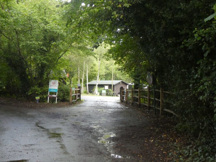
Hopefully today appropriate clothing will be worn by everyone we meet. The recent hot spell has resulted in a sea mist providing some respite from the sun. We are walking from the caravan, departing the site it’s still very warm.
We walk through East Brighton Park to reach the road and then turn left and continue on pavements, we cross the main A259 and follow the signpost down to join the Undercliff heading towards Saltdean.

Soon we pass the edge of Brighton Marina. Work began on building the marina in 1971 and still appears to be underway with construction going on at the western end. Apparently there are 1,600 berths provided in the marina with some linked to waterfront houses.

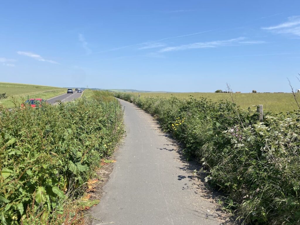
This part of our route is very straightforward, we will be staying with the under cliff walk all the way to Saltdean. The path is shared with bikes, scooters and skateboards, many electric, so we need to be mindful of folk coming up behind us at pace. Of course pedestrians have priority over folk on two wheels, but the speed that some pass us makes it hard to believe they have a duty of care toward walkers.

It is not too long before we reach Rottingdean and the White Horse Inn. We spent a very enjoyable evening there on Friday evening having a pre-wedding get together with friends. The pub was very busy but for some reason there only ever seemed to be one person serving drinks at a time whilst the staff’s main preoccupation was chatting to each other and restocking the shelves with glasses.

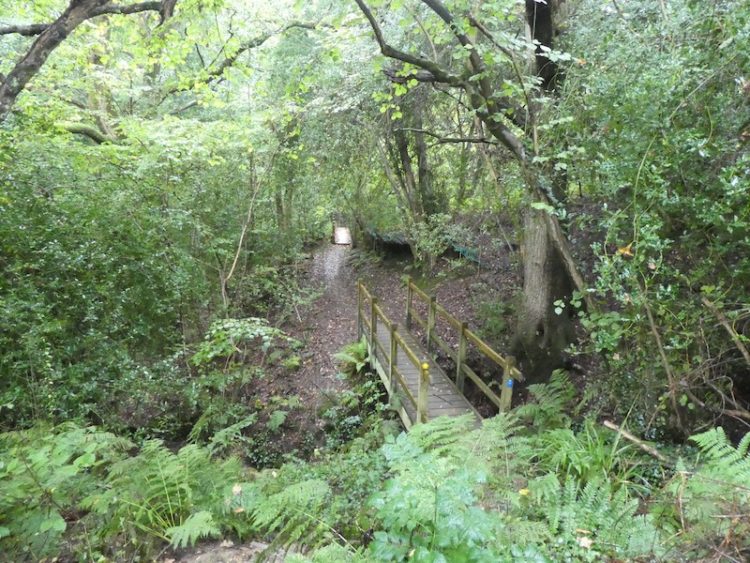
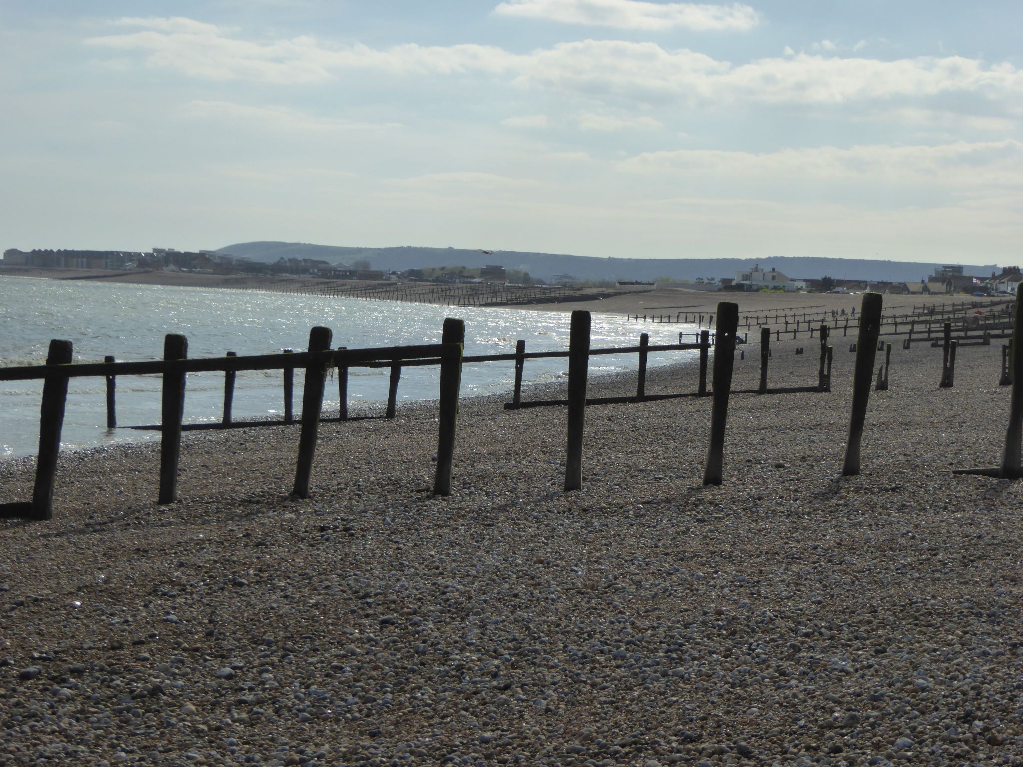
We keep heading east along the under cliff walk. The tide is out and the sea mist has kept people away from the seafront so it is very quiet as we walk along.

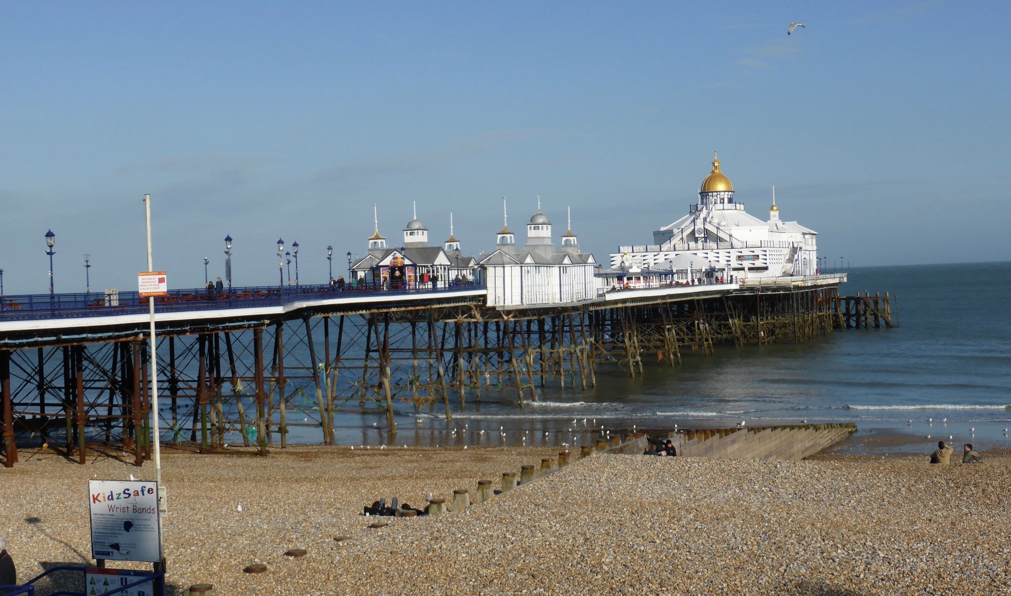
On reaching Saltdean we pop into the White Cliff Cafe, this was the venue for Saturday’s wedding reception. It was a memorable evening with much laughter and merriment. The only damper on the evening was on our return when I realised I had left my new cap behind. I pop in to see if it is in the cafe’s lost property box. Sadly no sign of the cap, but fortunately a message a few hours later from a friend confirmed they picked up my hat whilst clearing up on Sunday.

Resuming our walk we leave the under cliff walk and follow the path up to reach the A259 and turn right to continue heading east until we reach a memorial which was unveiled in 1995 to commemorate the 50th anniversary of the end of World War II.

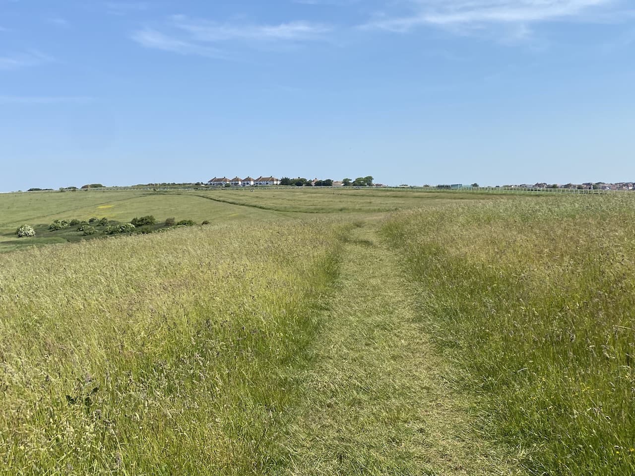
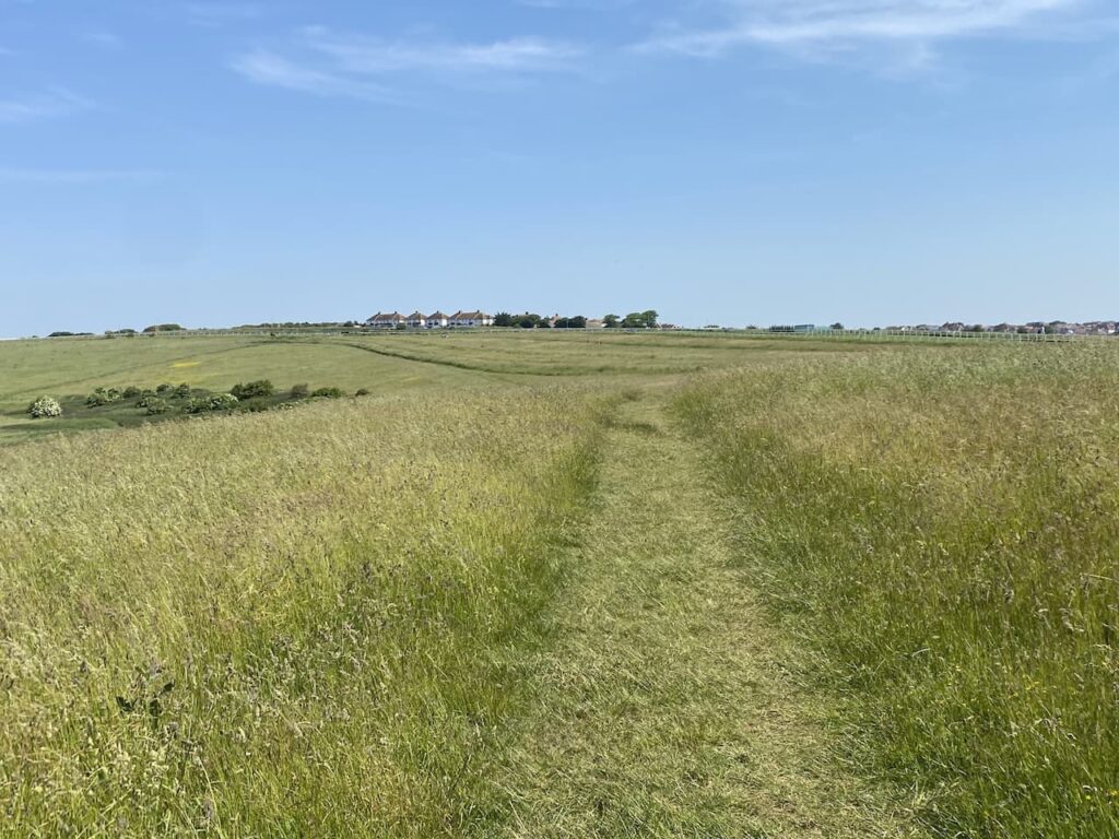
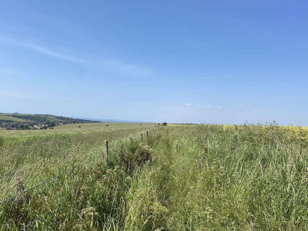
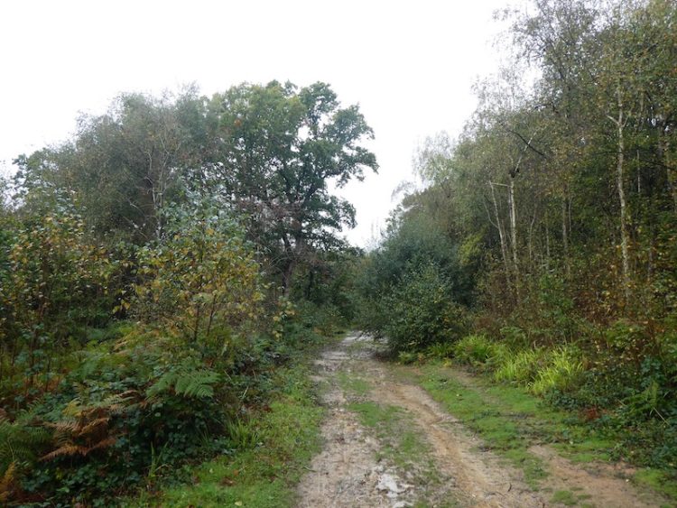
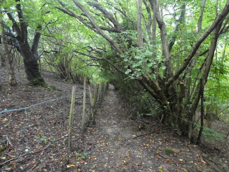
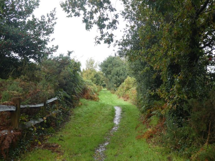
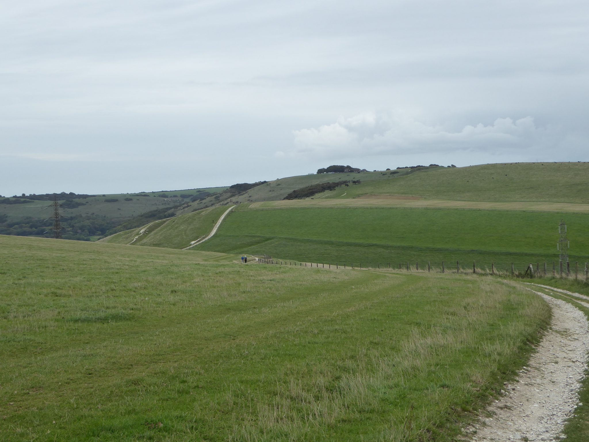
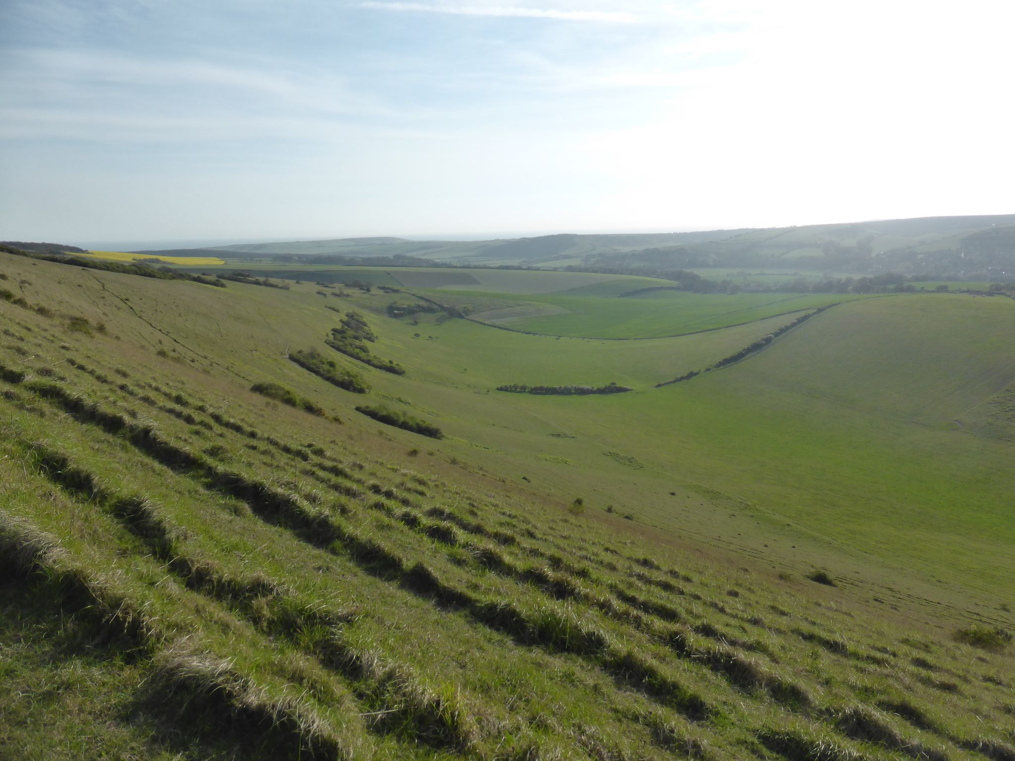
Turning away from the sea we cross the main road with care and join a footpath going through a gate onto Telscombe Tye, this is an area of common land owned by Telscombe Town Council. We follow a path that heads in a northerly direction across the grassland.

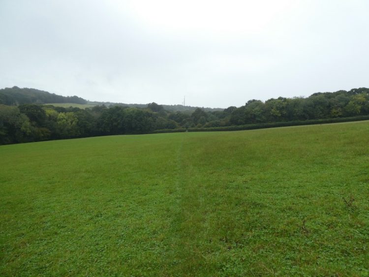
The sea mist is still reducing visibility but as we walk away from the coast it starts to clear and immediately the temperature rises. Just after passing a fenced dew pond we turn left and follow a path besides a track heading towards a house on the horizon.

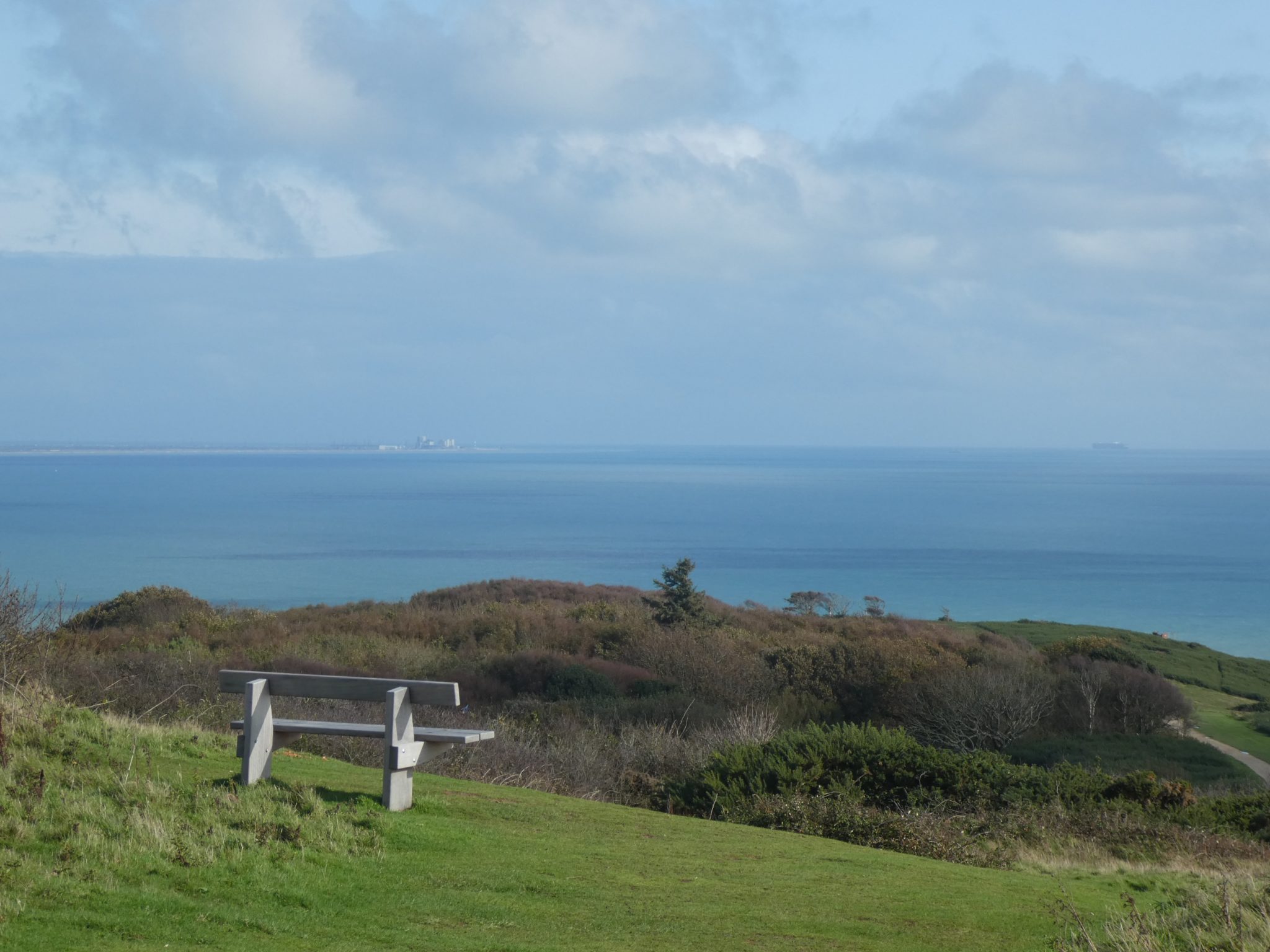
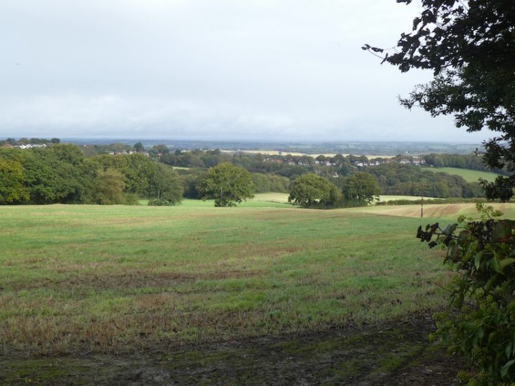
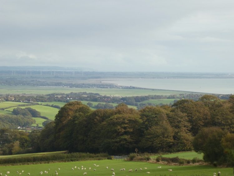
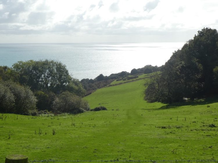
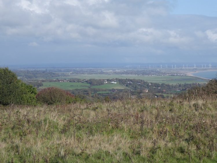
On reaching a gate we go through and then stop to admire the far reaching view behind us.

Resuming our walk we go right and pass through another gate and then follow a track besides a field heading in a northerly direction again.

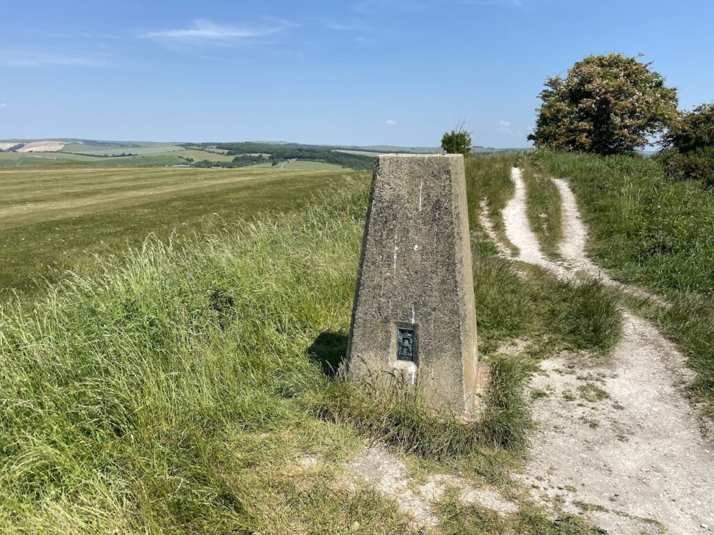
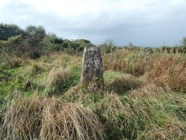
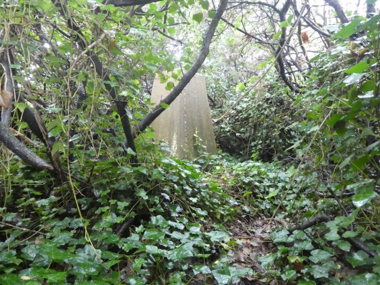
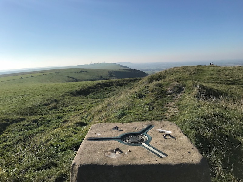
After going through another gate we take a slight diversion from our route and walk up a track towards a covered reservoir and then follow the fence around the reservoir to spot the High Dole Ordnance Survey Trig Pillar within the fenced enclosure.

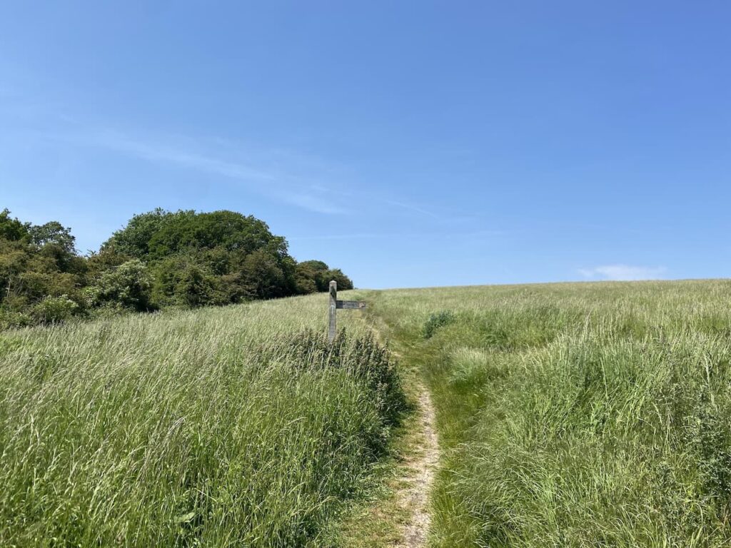
Returning to the track we pass a footpath on our left. Within another 100 yards we reach another path on the left and take this to descend from Highdole Hill towards Pickers Hill Farm.

Reaching the farmyard it is a bit confusing where the route goes. The footpath is between farm buildings and then through a gate but the route is overgrown. We spot someone walking down a wide track in the field next to the path and assume this is one of those places with an unofficial diversion so we follow the well-worn path up High Hill.
It has become very hot so nearing the top of the hill we stop for a drink and admire the view behind us.

Halfway up the hill the official footpath route joins the field we are in and as we reach the top the way markers direct us through a gateway and then along a track.

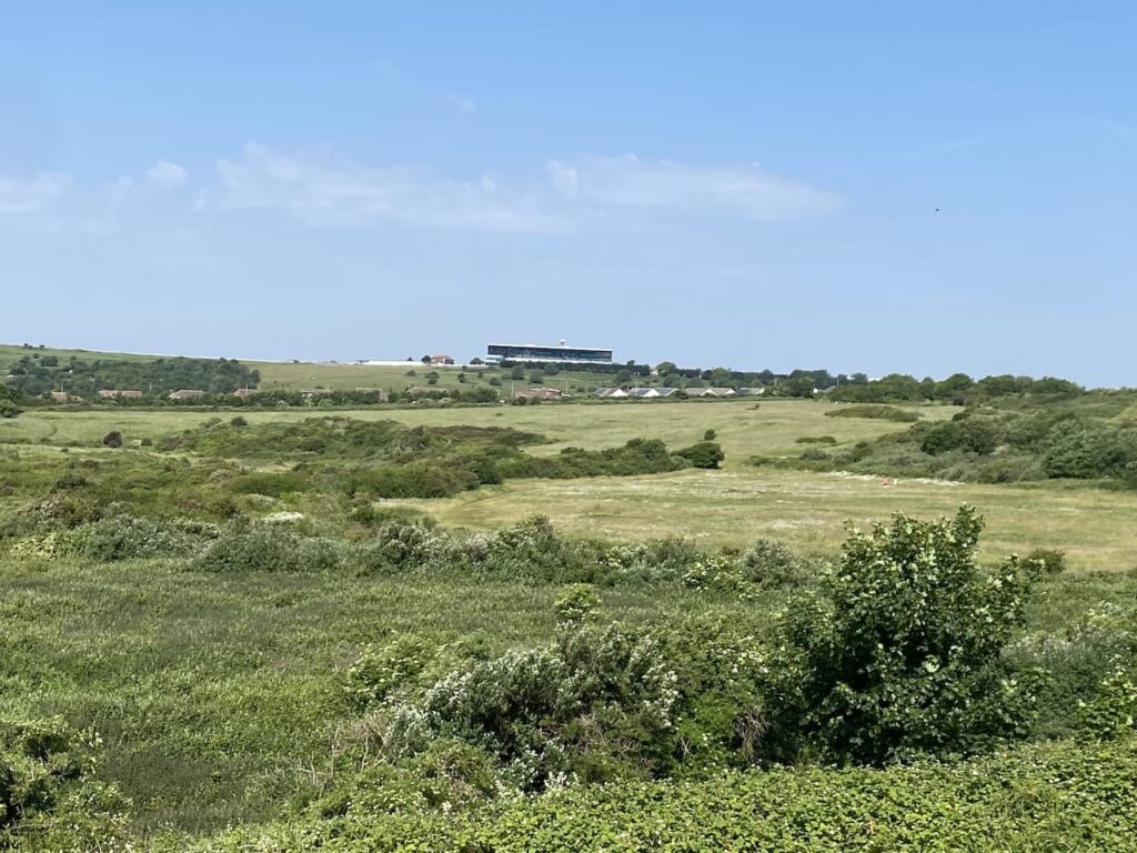
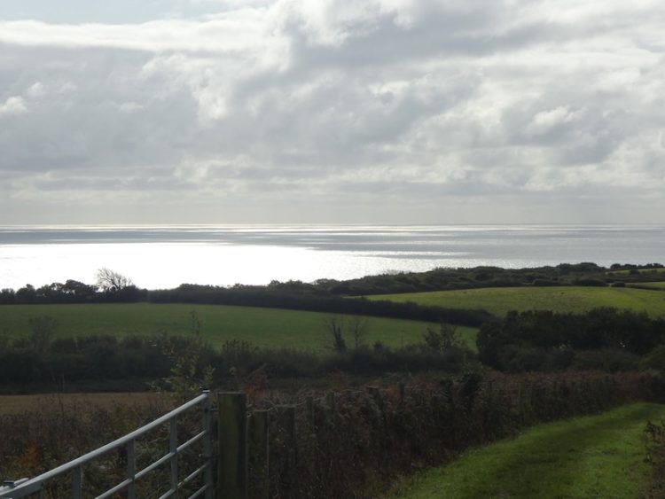
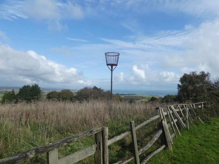
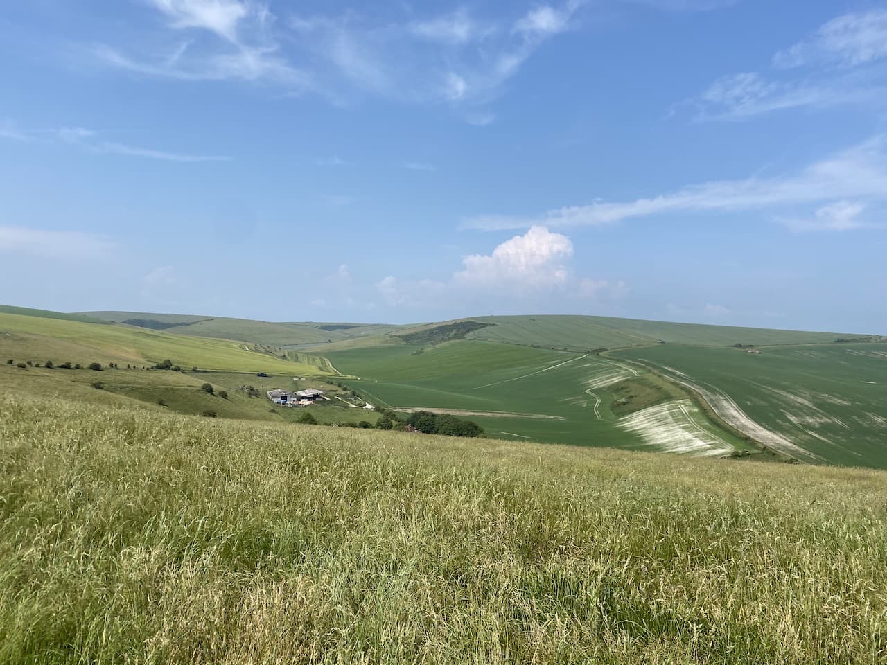
At a junction of paths near a horse paddock we turn right and go across a field towards a gate. From here there are stunning views across the South Downs.

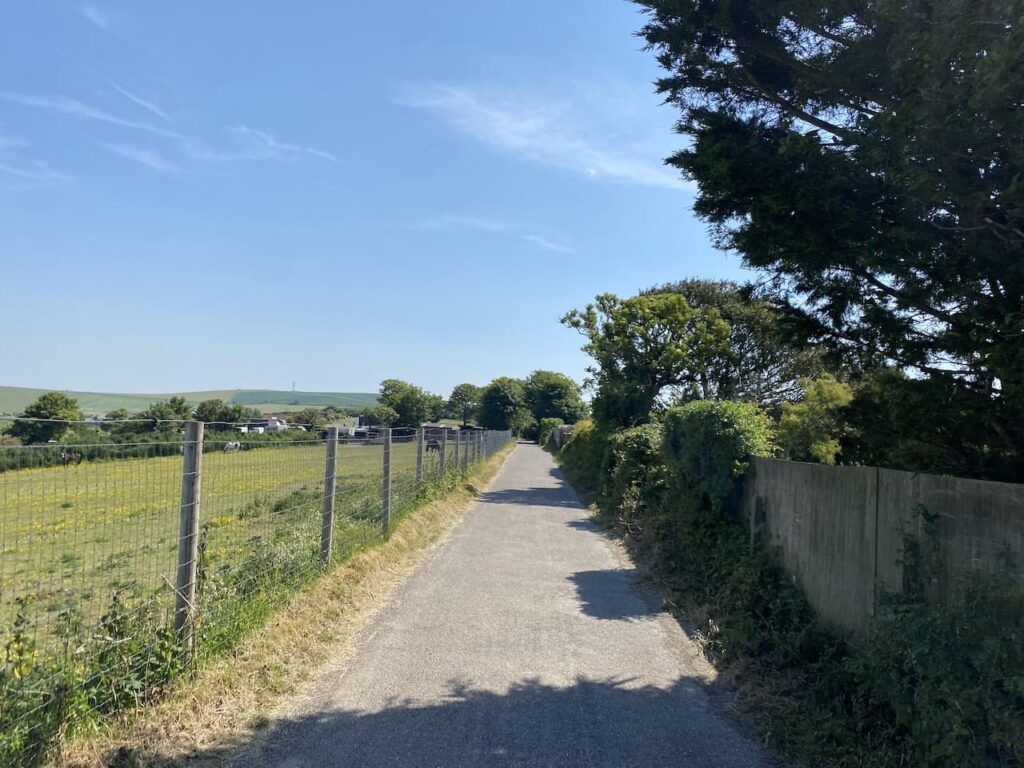
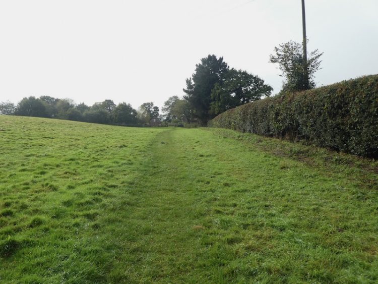
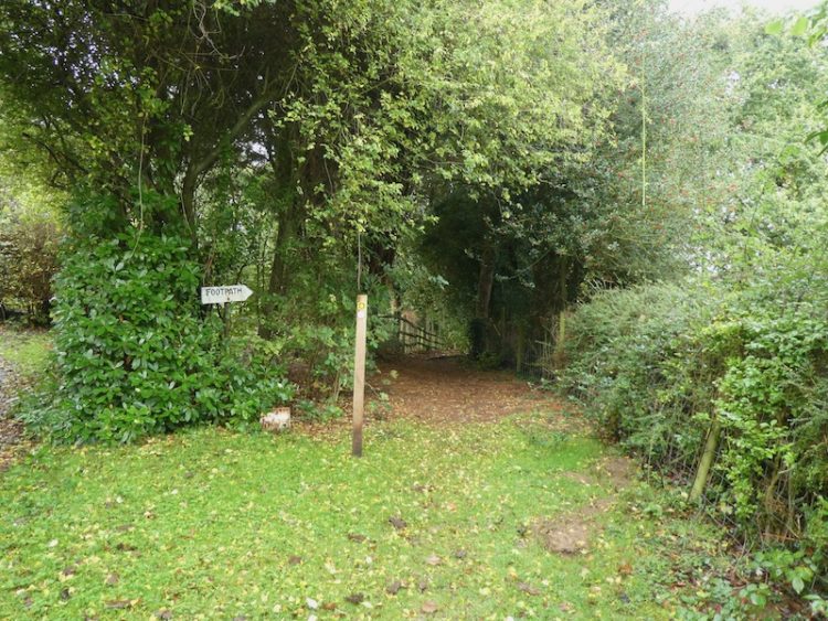
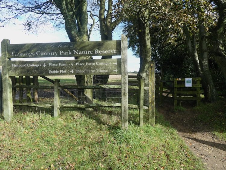
At the gateway we turn left and join a tarmac track heading south to pass Balsdean Farm, the track becomes a minor road which leads into Rottingdean. At a road junction in the village we turn right and follow the pavement until we reach a footpath sign on the left. This path is along the driveway to a playing field.

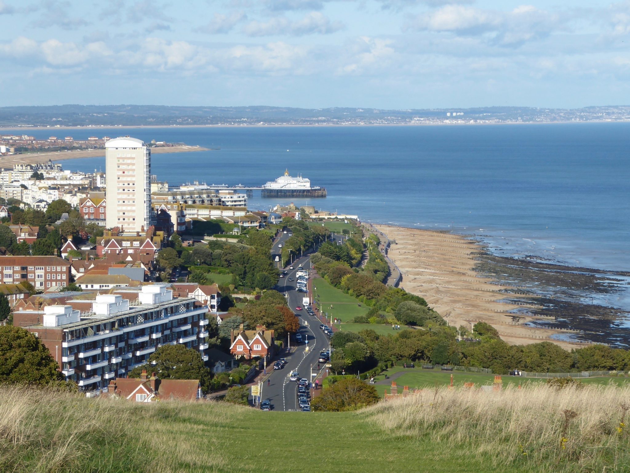
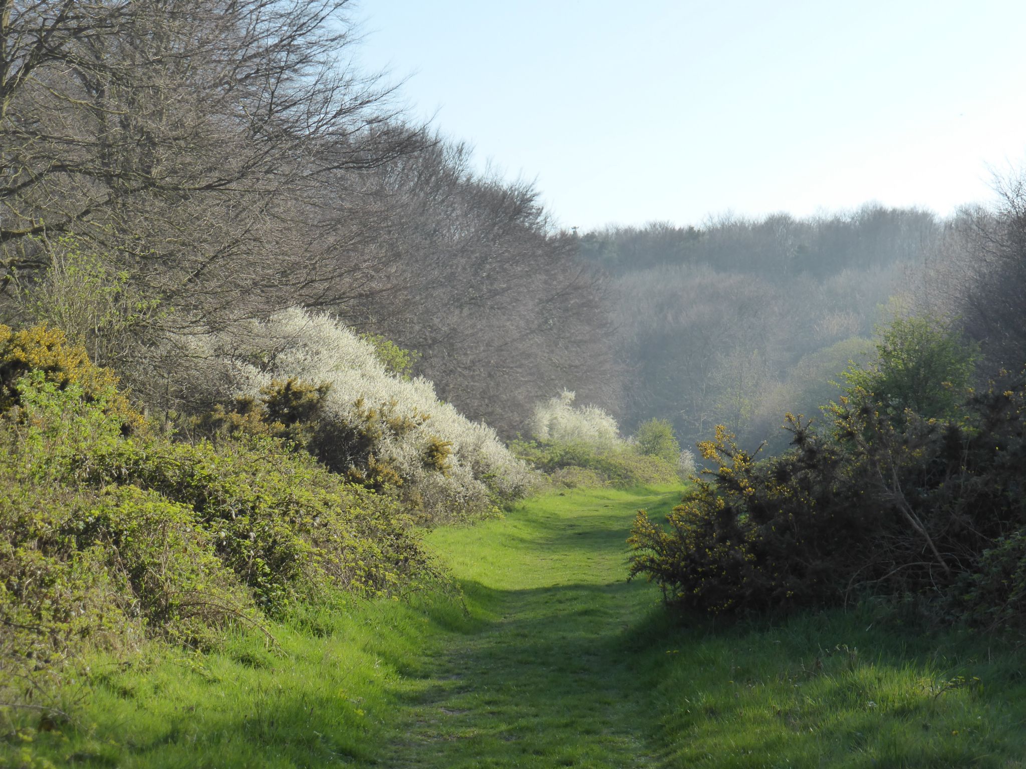
We cross the field and take a footpath uphill onto access land on Beacon Hill. We are back near the coast and have entered the sea mist so the temperature has dropped again.

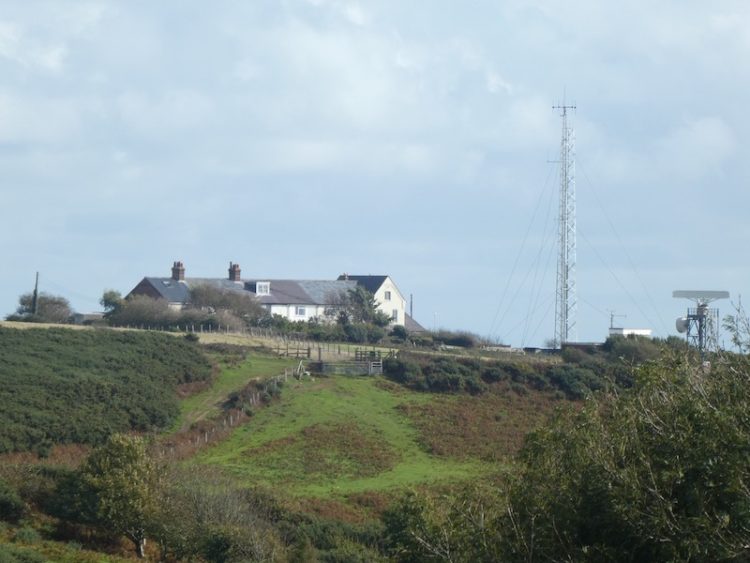
On the access land we keep heading in a northwesterly direction on a clear path to reach a gate onto a road in Ovingdean. Now we keep going in the same direction and head through the village on Longhill Road. At the end of this road we turn right into Ovingdean Road and head uphill, soon reaching a track on the left which takes us towards Mount Pleasant.

At a gate on the left we enter an area of open access land and wander across to visit the Ordnance Survey Mount Pleasant Trig Pillar, my 387th trig bagged.

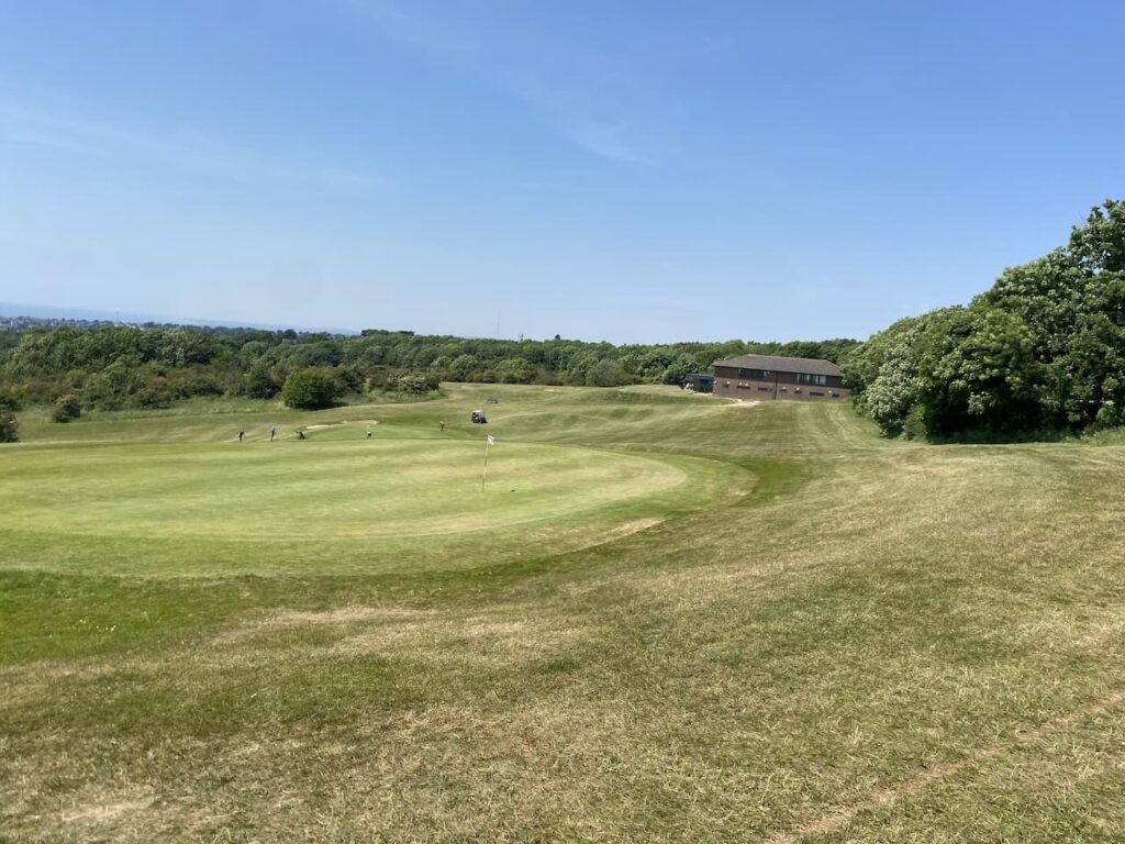
Returning to the track we soon take a path on the left which heads steeply downhill to a junction of tracks where we turn left. We follow the track to reach another junction where we once again turn left and then soon take a track on the right. This track almost immediately forks, we go to the right and follow the path as it gradually ascends Red Hill with a golf course to our right.

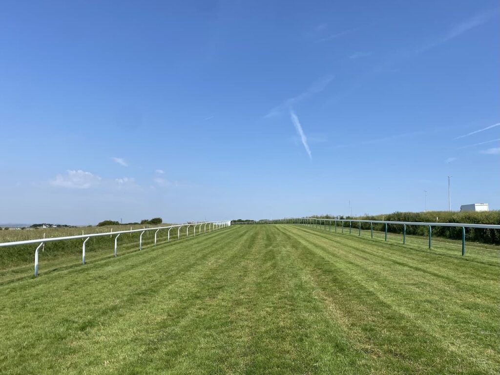
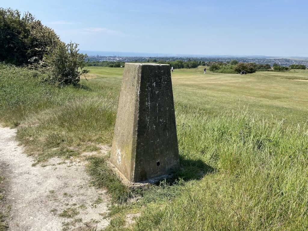
At the top of the hill the path goes across East Brighton Golf Course and we take a short diversion to visit our third Ordnance Survey Trig Pillar of the day.

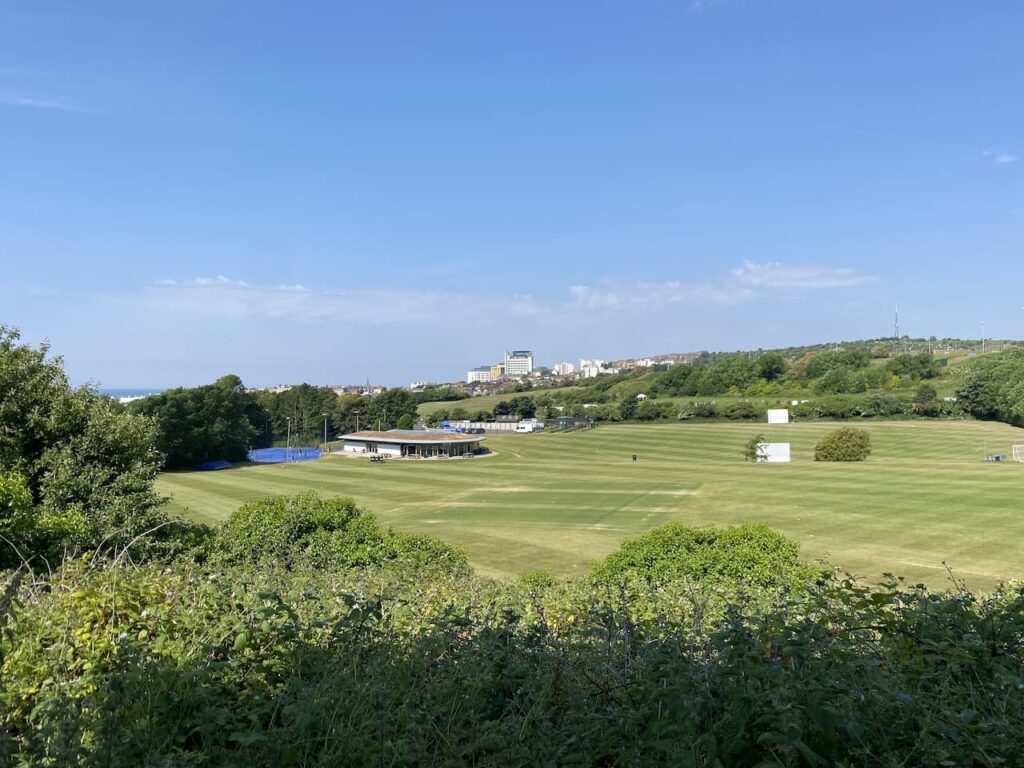
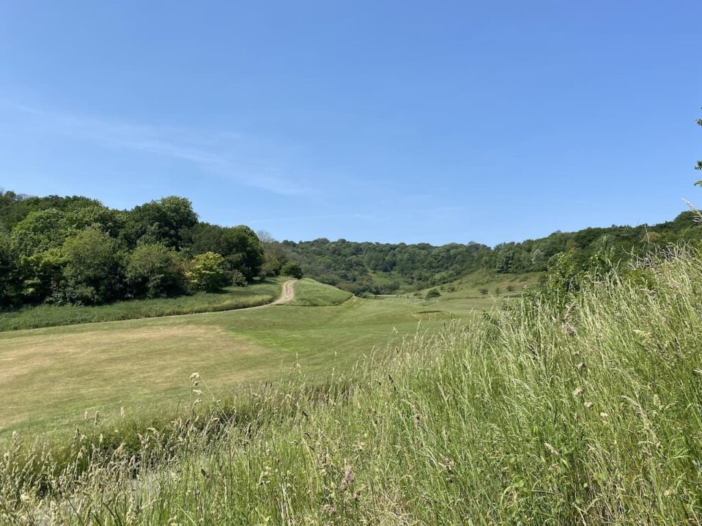
Returning to the footpath we continue across the golf course to reach a gate which leads onto open access land in East Brighton Park. There are a network of paths and tracks on this area of downland. We steadily descend the hill with views across the park in front of us.

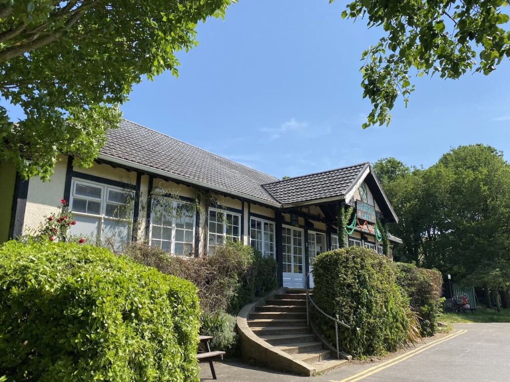
After going through a gate we go down steps and soon reach a car park besides the Pavilion Cafe.
In 1913 Brighton Corporation purchased 1000 acres of land in the parish of Ovingdean. Sixty acres were set aside to create this park area which has football and cricket pitches. An area is occupied by Whitehawk Football Club and Brighton College also rent an area for playing fields.
In 1968 areas of the park were transformed to replicate the trenches in the Battle of the Somme for scenes in the film “Oh! What a Lovely War”.

Leaving the car park we turn right and follow the driveway to reach the caravan site and complete our fourteen mile walk.
You can view this 14 mile walk on OS Maps and download the GPX File here.
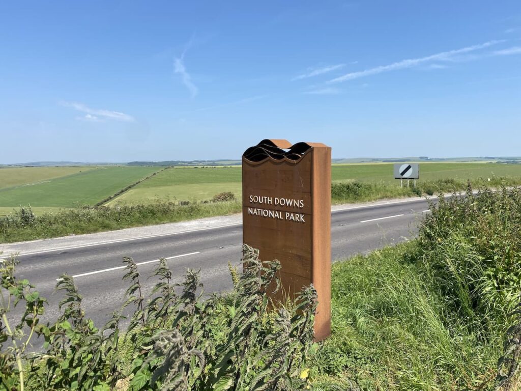
To follow this walk, you will need Ordnance Survey Explorer Map – OL11 – Brighton and Hove
12th June 2023
© Two Dogs and an Awning (2023)
All information on this site is provided free of charge and in good faith and no liability is accepted in respect of damage, loss or injury which might result from it. To the best of my knowledge the routes are entirely on public rights of way or within areas that are open for public access.
Walking can be hazardous and is done entirely at your own risk. It is your responsibility to check your route and navigate using a map and compass.