Category: Buckinghamshire

  • Jamming About from Princes Risborough

    Jamming About from Princes Risborough

    After a week on my own at Cholsey Grange I popped home at the weekend to pick up Lynnie.  She has been busy maintaining the garden and keeping an eye on Dexter.  He is struggling these days and cannot walk far.  Sadly his arthritic joints make it difficult for him to get in and out of the caravan so whilst Lynnie joins me, Dexter goes on his holidays at our next door neighbours.  

    It is clear from Dexter’s turn of speed as he heads to their front door that he would rather spend a week with Alan and Val than be away with us!  Like most dogs and all Labradors Dexter is a dog that thrives on company.  He always has a warm greeting for anyone he meets, usually on the assumption that they might have a biscuit in their pocket! So not having to share someone with Crosby for a week is ideal for him.

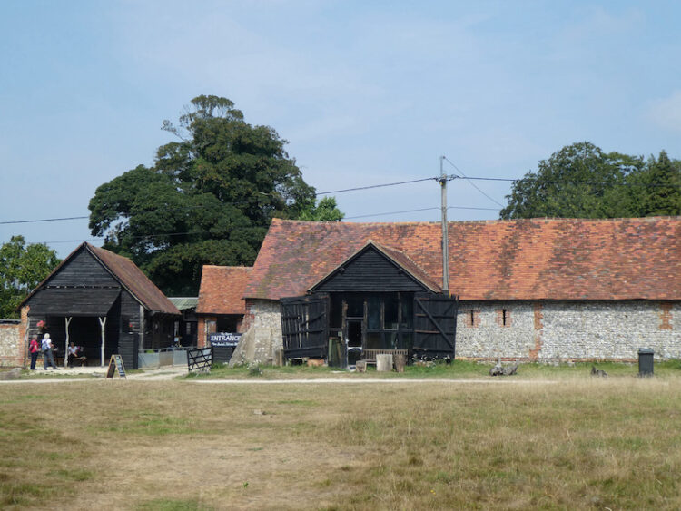
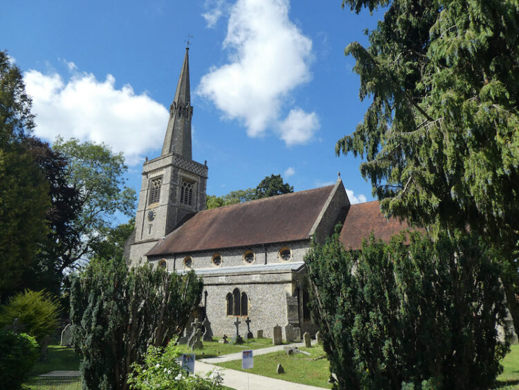
    We have decided to start today’s walk from Princes Risborough.  It is only a short drive to our starting point in the pay and display car park in Statton Road, near St Mary’s church in the centre of Princes Risborough.  Leaving the car park we walk along Church Road to pass St Mary’s Church.

    From the church we turn left into Church Lane and follow this past Monks Staithe the house where the aviator Amy Johnson lived between 1937 and 1939.  Johnson is famous for being the first woman to fly single handed from England to Australia, something she achieved in 1930.  The 11,000 mile journey took her nineteen days to complete.  

    During World War II she joined the Air Transport Auxiliary transporting Royal Airforce planes around the country.  It was whilst transporting a plane from Prestwick to Oxford on 5th January 1941 that she came down in the Thames Estuary and died.  Mystery surrounds how she ended up in the water.  Initial reports said she ran out of fuel, but later accounts suggest she was shot down after being mistaken for an enemy plane.

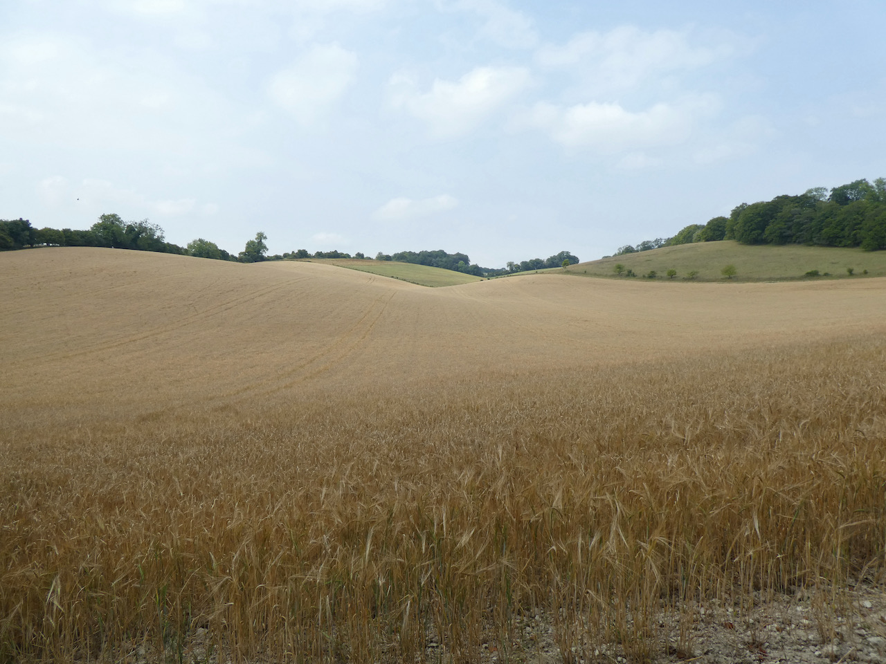
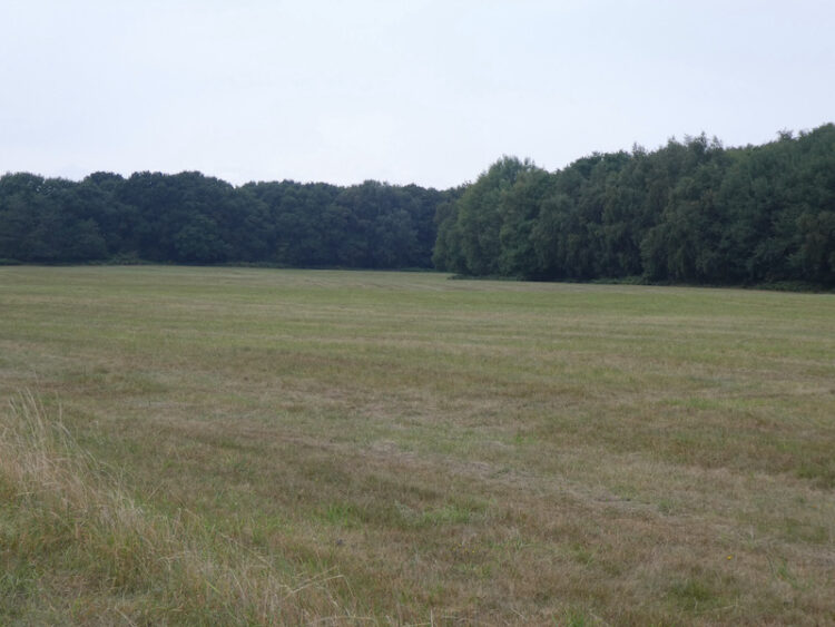
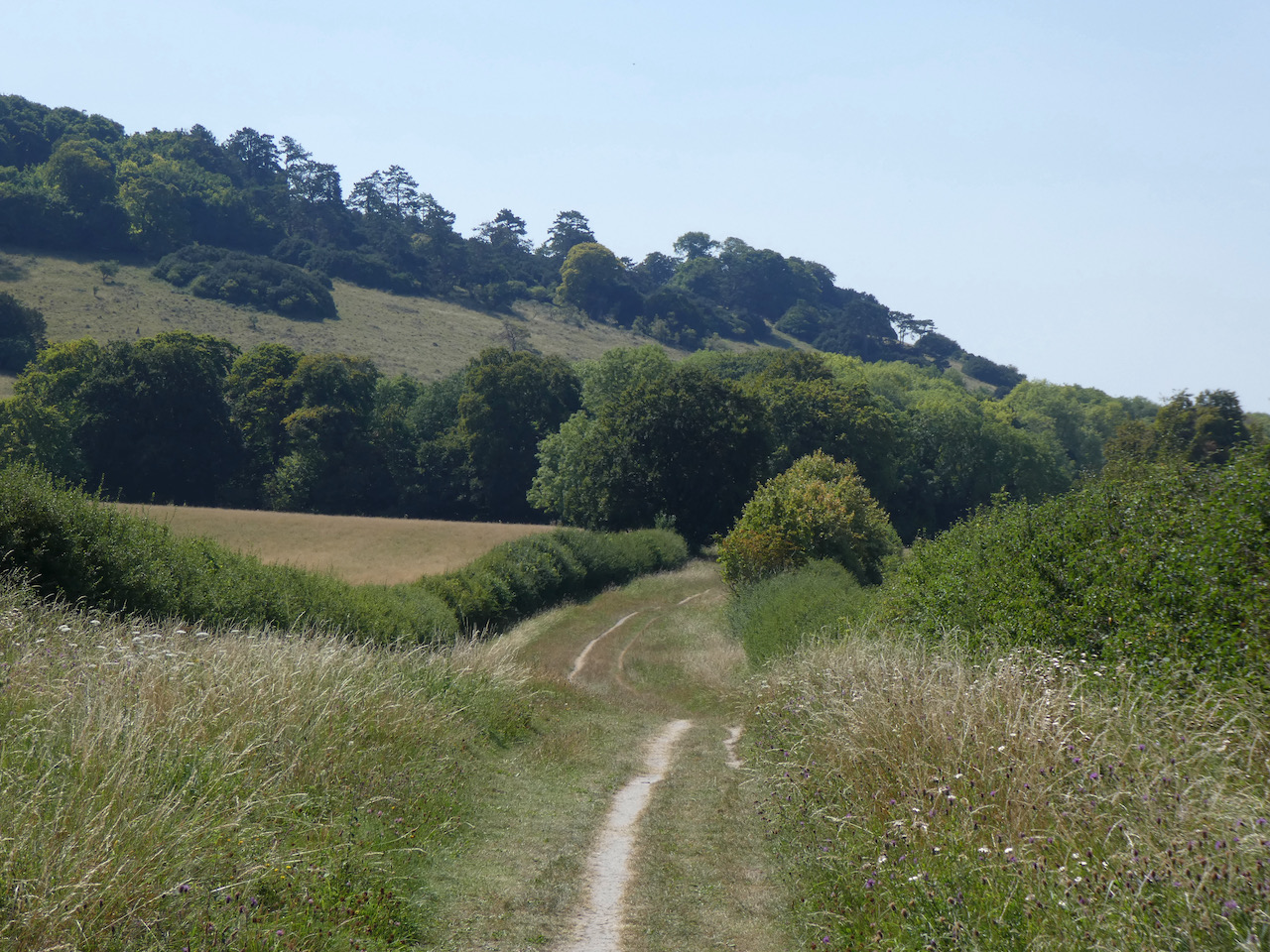
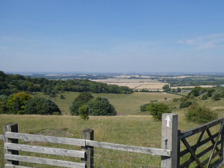
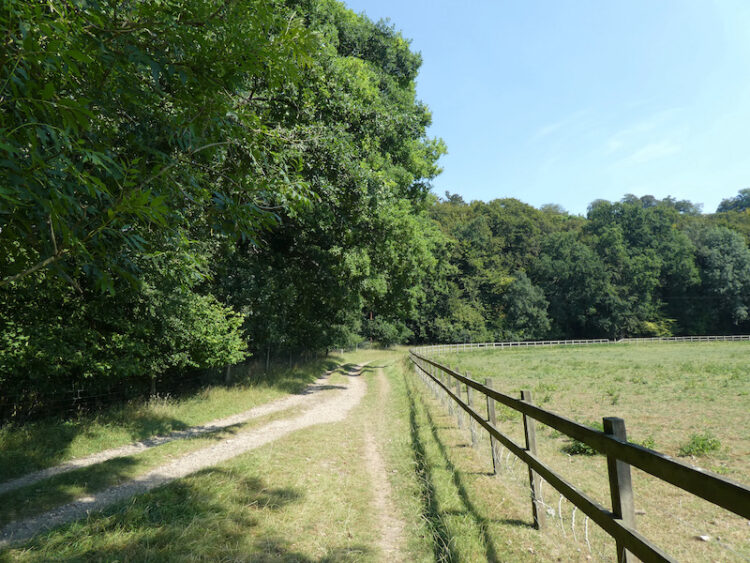
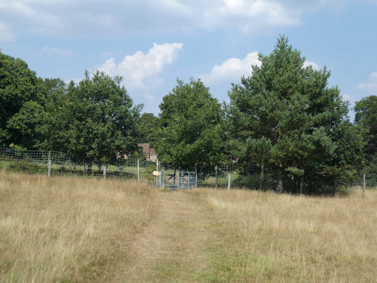
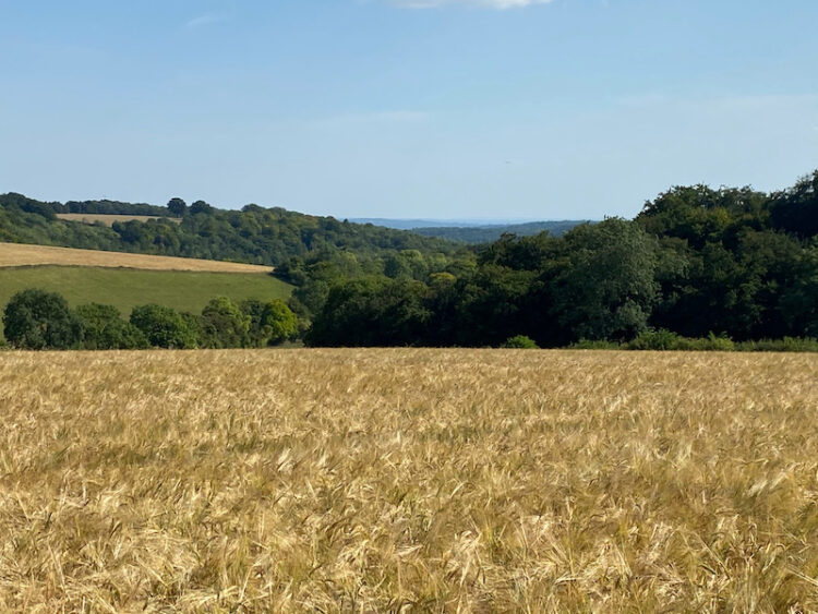
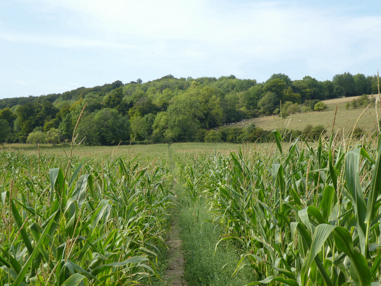
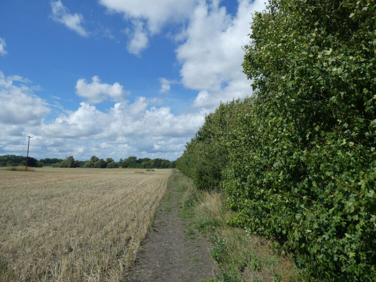
    The footpath continues past houses and a playing field and then reaches a railway line.  We cross with care heeding the signs to “Stop, Look and Listen”.  On the far side of the railway we turn left following the fence of an industrial unit to reach a field.  Here we turn right and follow the path along the edge of the field.

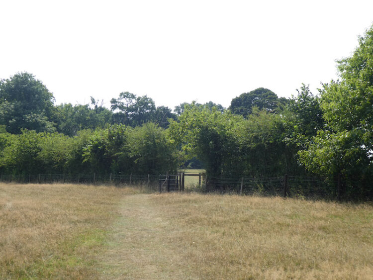
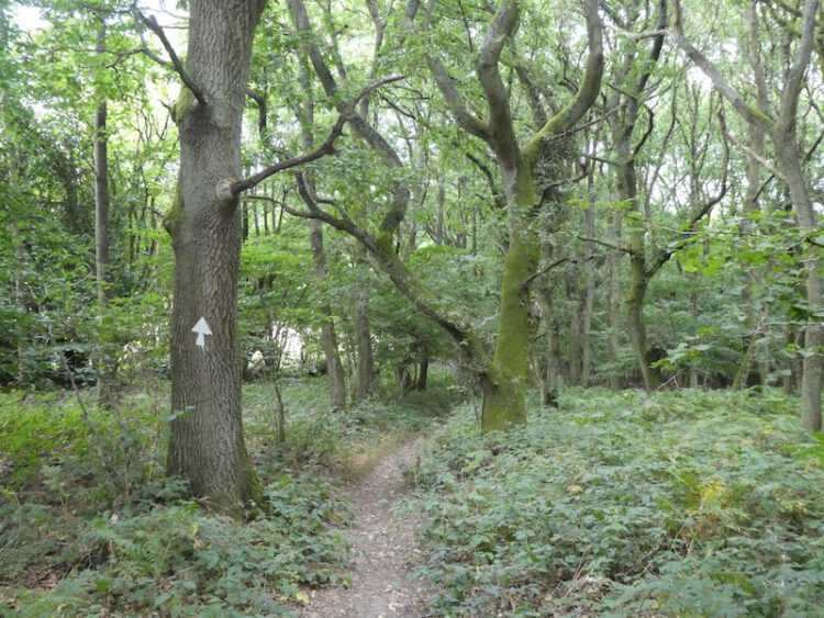
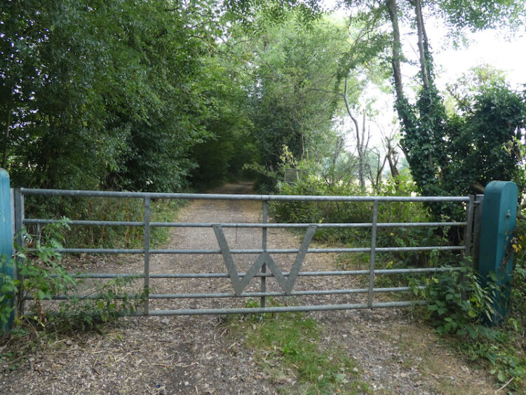
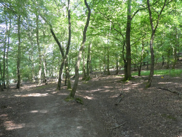
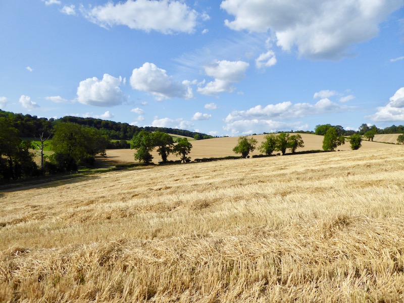
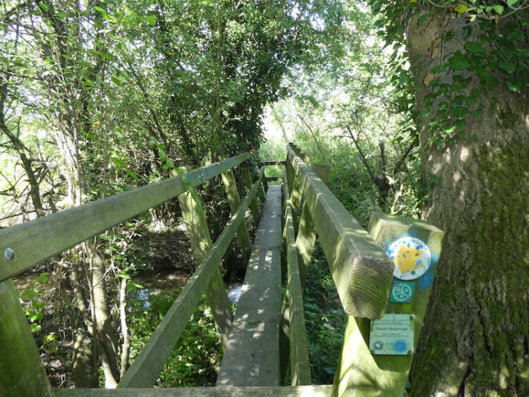
    The path leads over a footbridge and through trees and then carries on across fields towards Longwick.

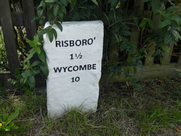
    On reaching the A4129 we turn left and follow the pavement into the village.  At a roundabout besides a garage we turn left and follow the pavement besides the B4009.  At a junction besides a railway bridge we turn right into Chestnut Way and follow this road past the Red Lion Pub to rejoin the A4129.

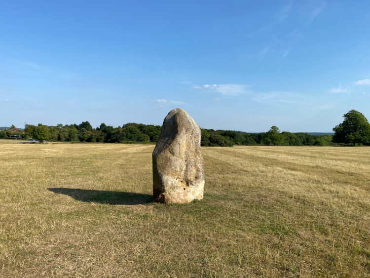
    Soon after we pass an old milestone.  It’s presence suggests this was an old turnpike road.

    After passing the Post Office and a set of traffic lights we turn left at a crossroads to walk along Walnut Tree Lane.  This lane leaves the village and becomes a track under a railway bridge.  The route then follows a clear path to skirt around fields to reach Mill Road.

    We continue along Mill Road for a few hundred yards and then take a footpath on the left to enter a field.  The footpath leads to Sandpit Lane where we turn left and walk a few hundred yards to the site of the old Bedlow railway station which has been converted to a house.  This station served the local community from 1862 until 1963.

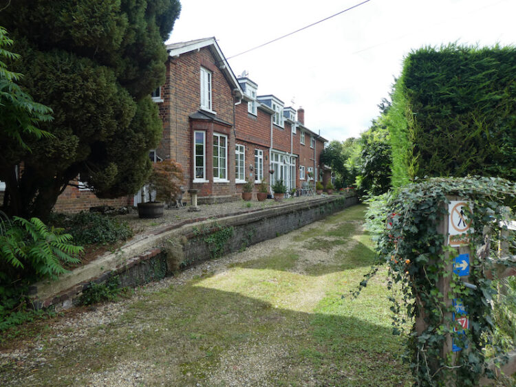
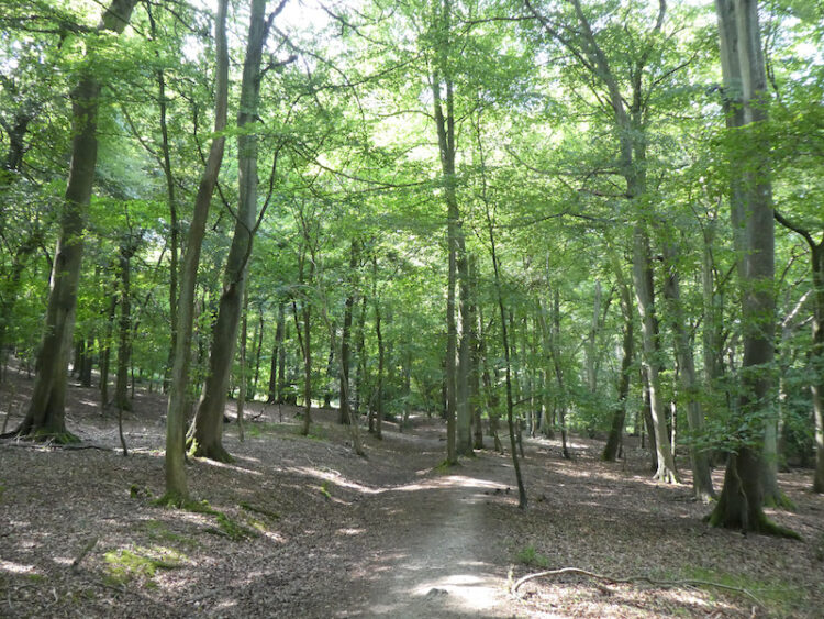
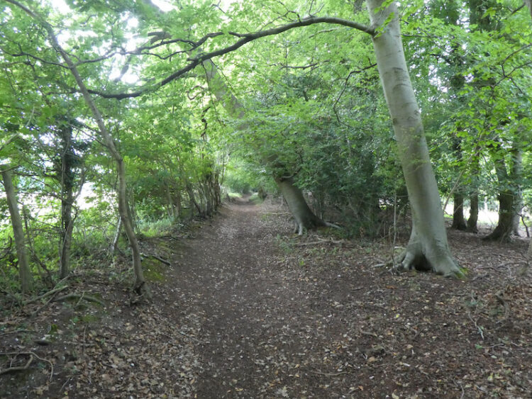
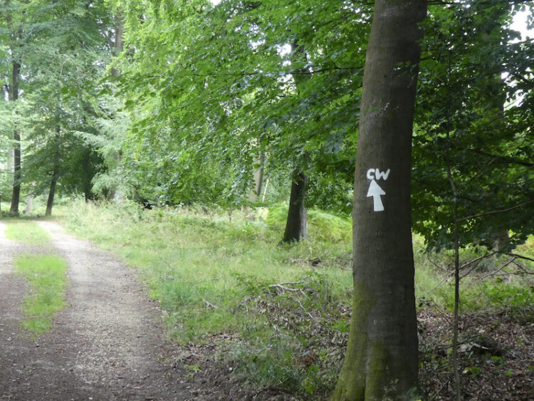
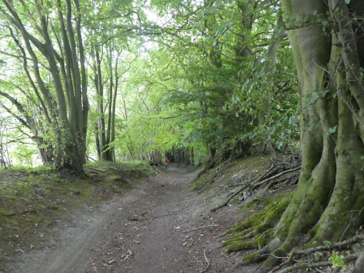
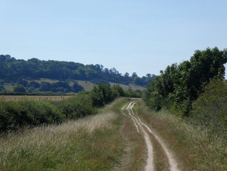
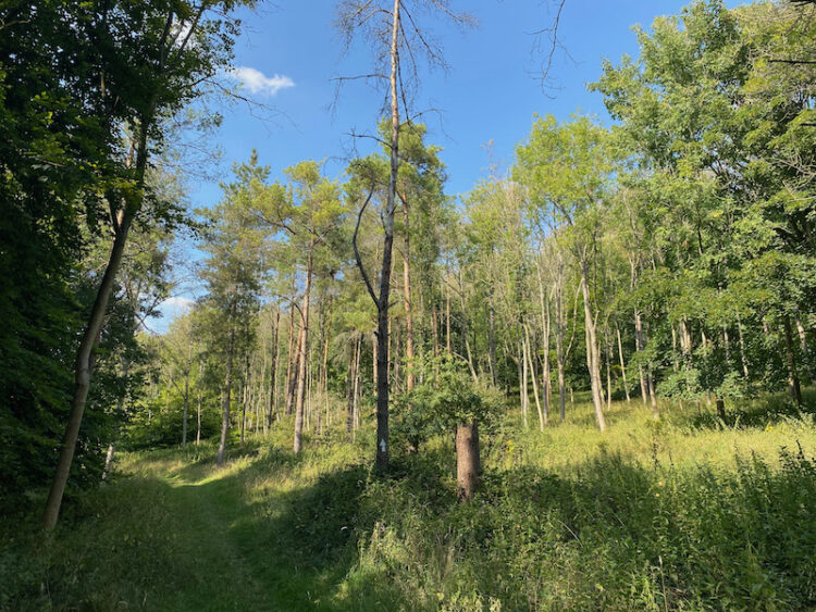
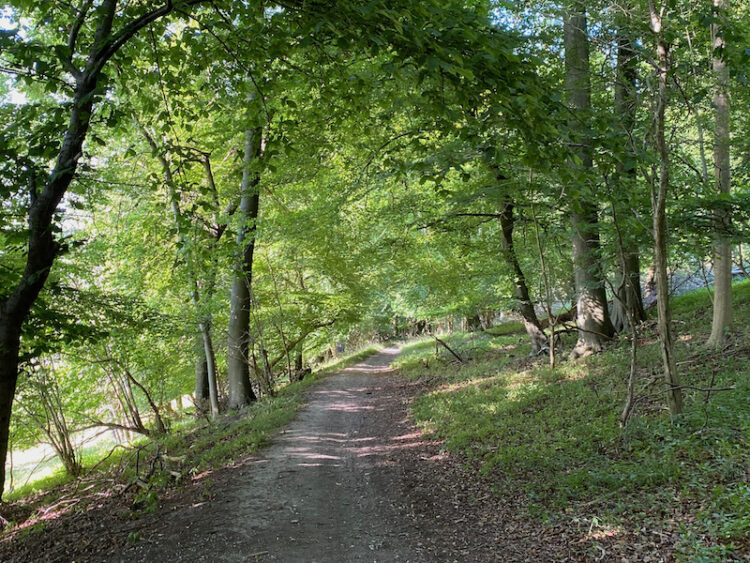
    Our route takes a turning on the right just before the old station to follow the route of the now disused Wycombe Railway Line.  This line connected Maidenhead and Oxford, construction started in 1852.  The section of line between Princes Risborough and Thame was completed in 1863.  It operated passenger services for one hundred years until 1963 when it became a victim of the “Beeching cuts” which closed over 5,000 miles of track.  The line did continue to operate freight services until 1991 and this section was converted into a footpath known as the Phoenix Trail.

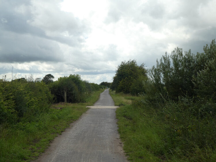
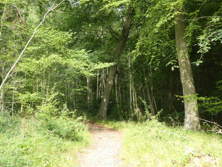
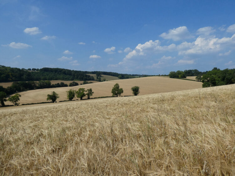
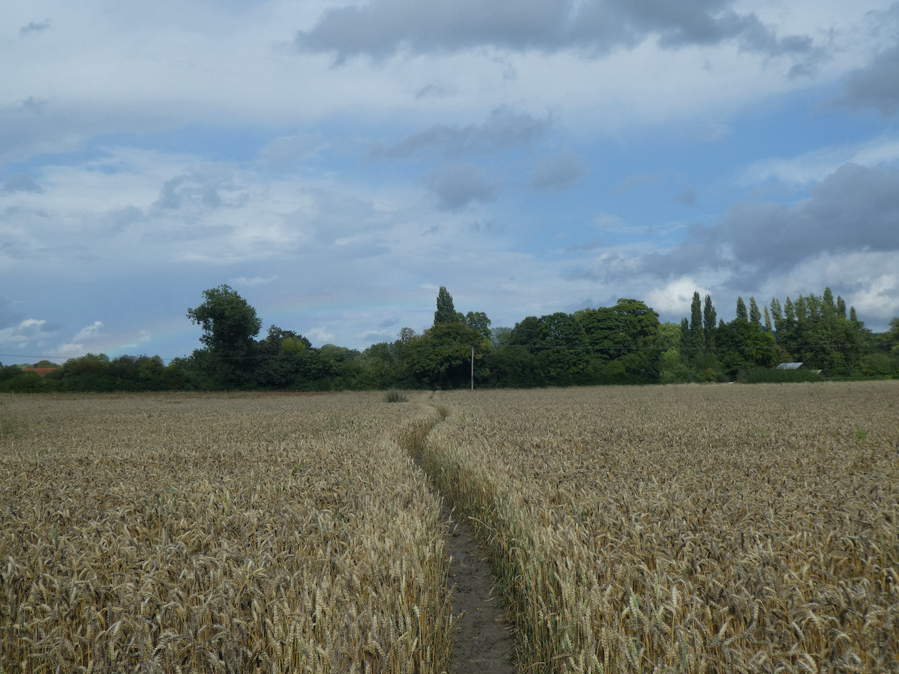
    The Phoenix Trail is a 7-mile route between Princes Risborough and Thame, we are only going just over half a mile to reach a footpath on the left.  I originally planned to walk further along the trail but we hear rumbles of thunder and are not keen on being caught in a storm.  The footpath crosses a field, I suggest we reach the cover of trees on the far side and don our waterproofs.  Then the rain starts and we are quickly taking leggings and coats from our rucksacks.

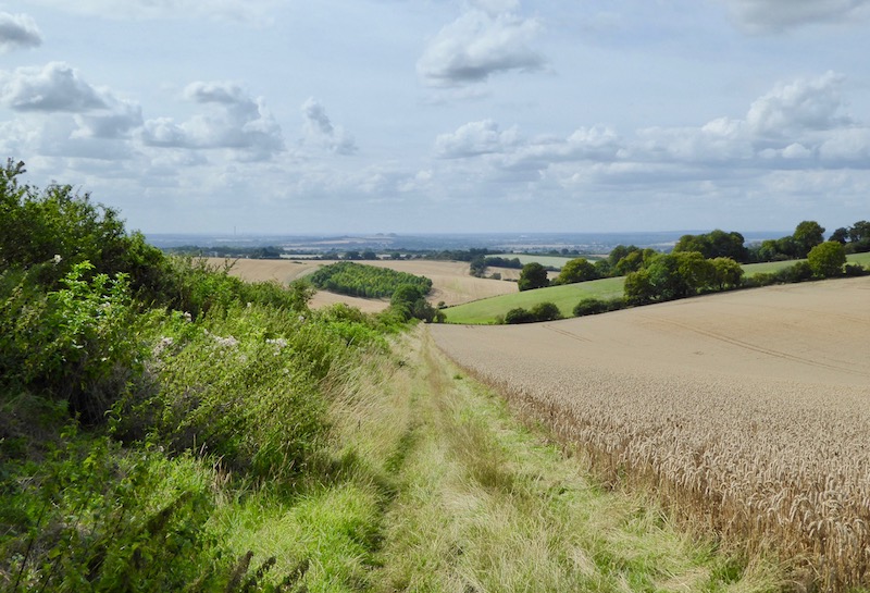
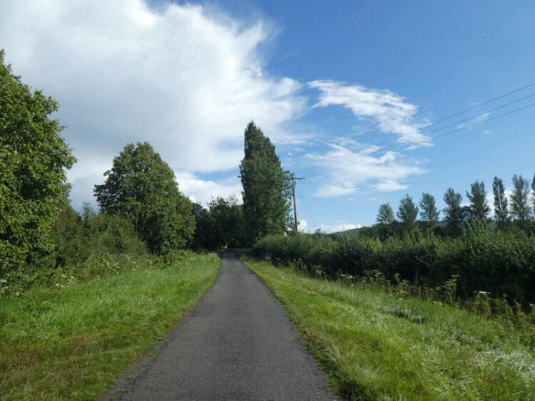
    We follow the path across fields to reach a lane, Forty Green, here we turn left and follow the lane towards Skittle Green.  This is a very quiet rural lane and as we walk along the sky clears and the rain passes.

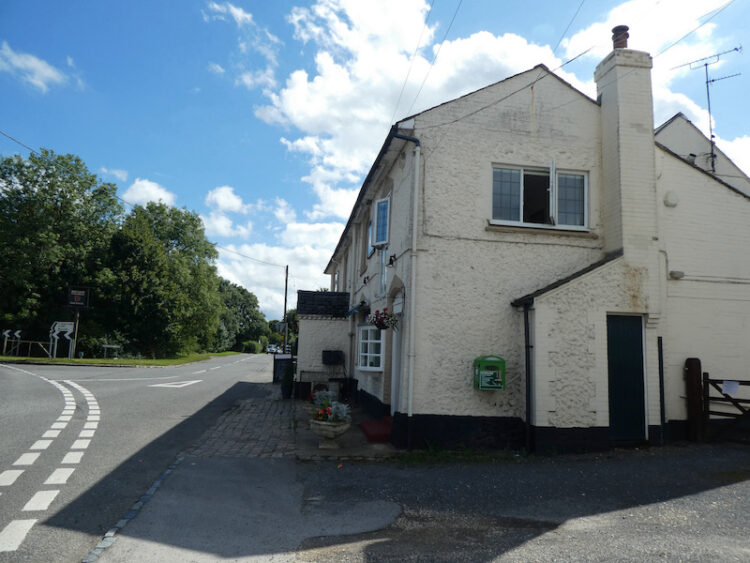
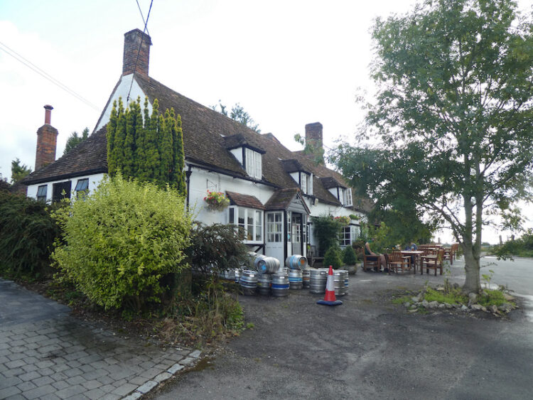
    We stay with the lane to pass through the few houses at Skittle Green and continue on to reach the B4009 which we cross and turn left for  a few yards before turning right into West Lane with a signpost for the Lions of Bedlow public house.  We follow this lane to reach a green with the Lions pub standing beside it.

    Turning left we go along Church End to reach the Romanesque Holy Trinity church which dates mainly from the 12th and 13th centuries.  Apparently the inside is impressive but it is not open so we will have to return another day.

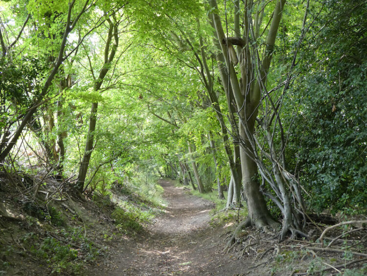
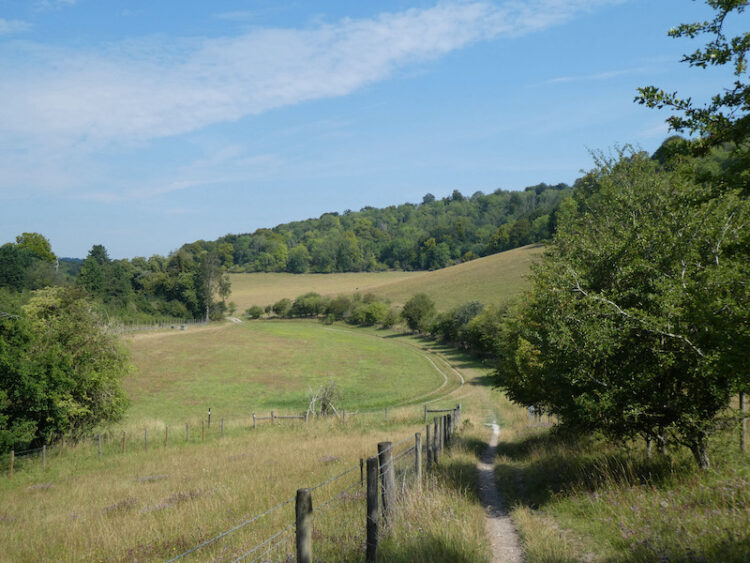
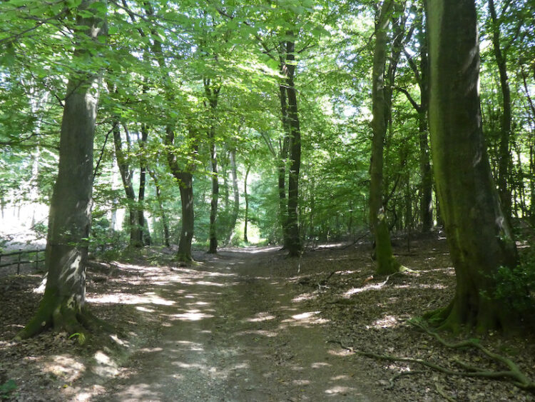
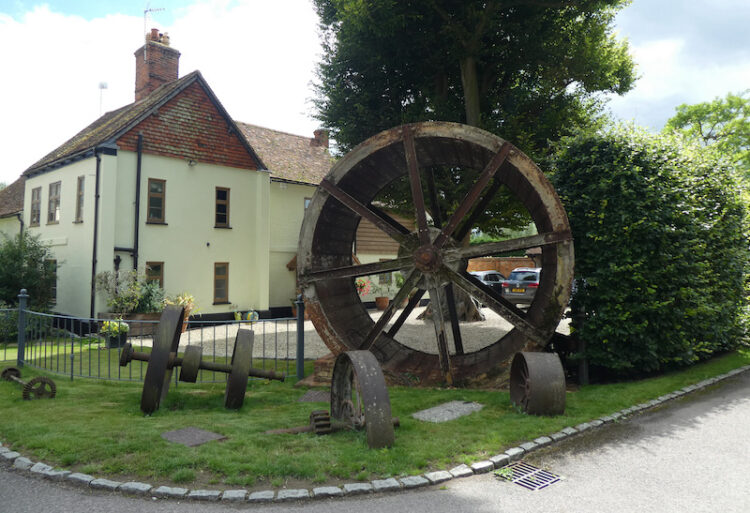
    From the church we continue through the village to a road junction and then turn left into Perry Lane.  This road heads downhill and then we turn right on a footpath along a track besides Forge Cottage.  Along the track we pass a collection of old farm machinery.

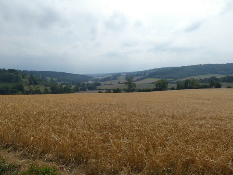
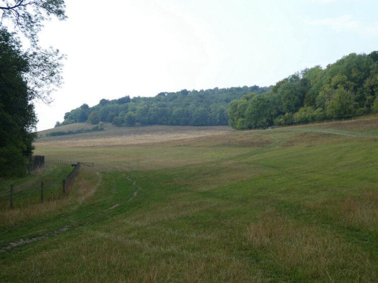
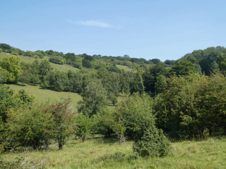
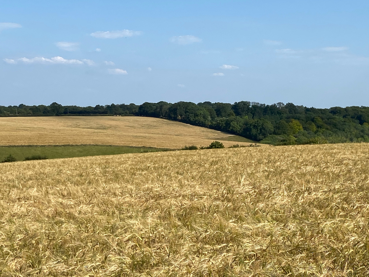
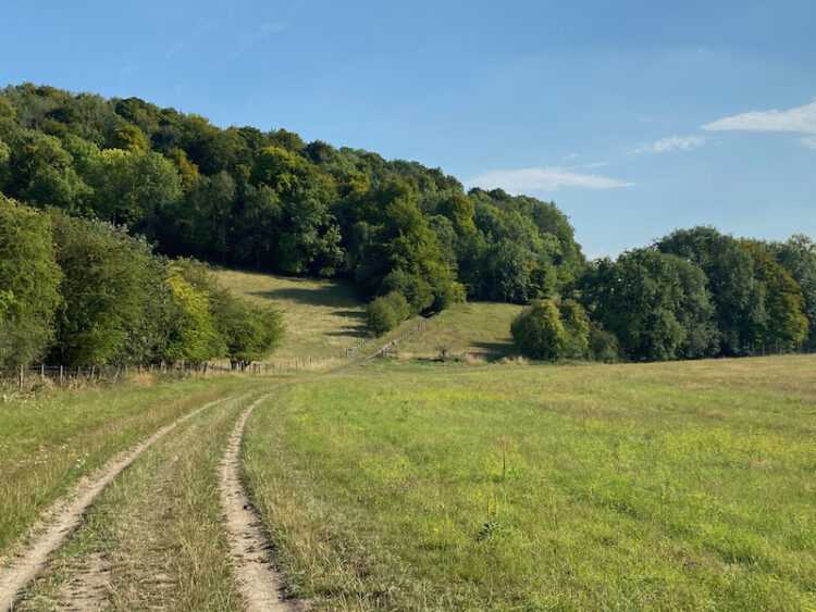
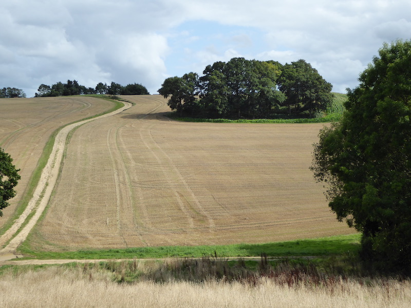
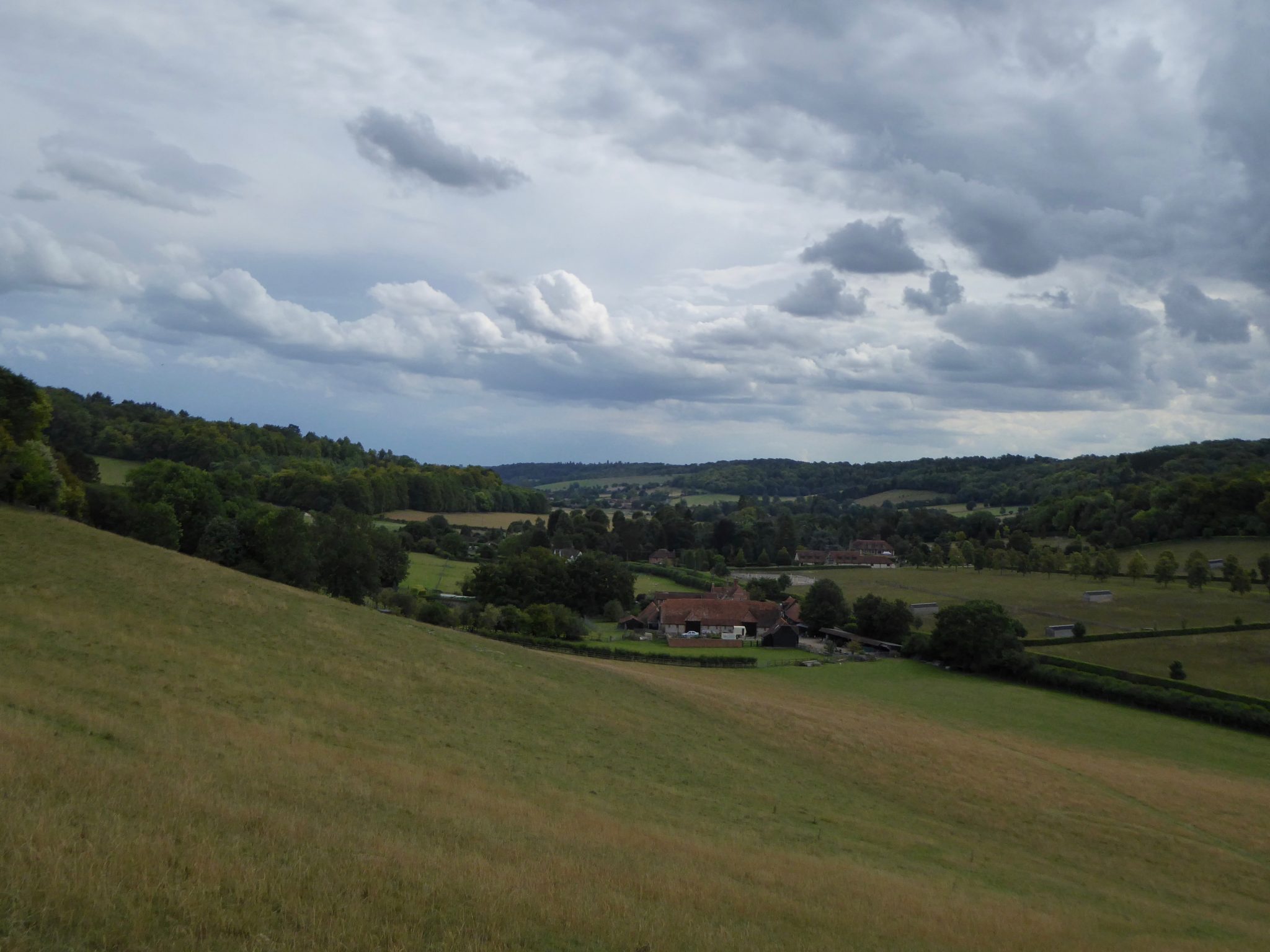
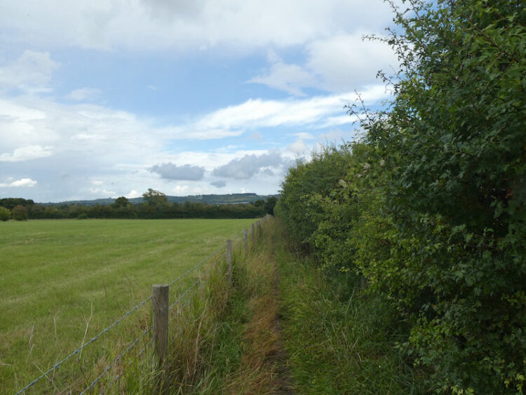
    The path then continues besides a hedge to reach a track where we turn left and then within fifty yards take a right to cross fields towards Horsenden.

    We pass  Manor Farm and then make a brief diversion to pop into look at the he 15th century St Michael and All Angels church; unfortunately it is locked.  According to the website this church holds an interesting place in medical history. A past rector, Edward Stone, discovered that chewing willow bark helped his rheumatism.  In 1763 he reported his finding to the Royal Society and it was later discovered that the active ingredient was salicylic acid, which is now better known as aspirin.

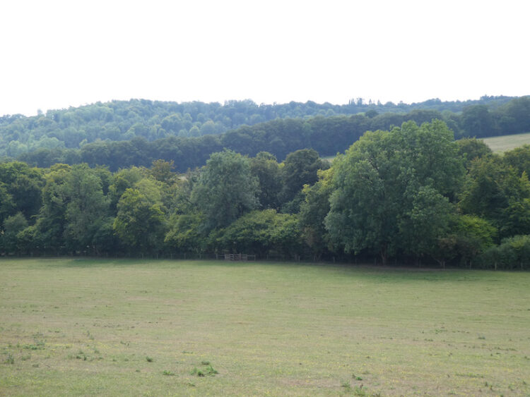
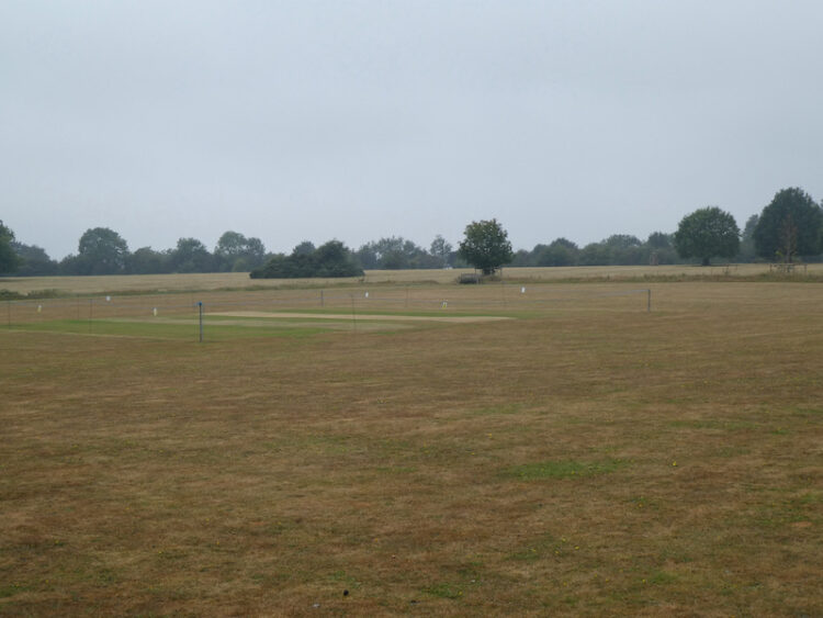
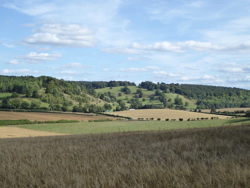
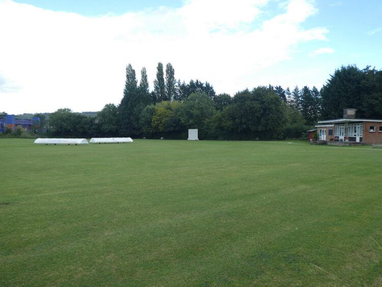
    We continue along the minor road through Horsenden to pass playing fields for the local football, tennis and cricket clubs.

    On reaching a railway bridge we cross and then turn left into Picts Lane and follow this to reach the B4444 where we turn right to head back towards Princes Risborough.  This road leads into the A4010,  we follow the pavement to reach the centre of Princes Risborough.  At the junction of Bell Street and High Street we stop to look at the memorials to aircraft that crashed locally, they are reported on the local council’s website.

    “On 30th January 1943 a Royal Air Force (RAF) Avro Anson Mk1 serial no. L7964 was on a Night Navigation Training exercise from the Central School of Navigation, flying from RAF Cranage, Cheshire. The weather conditions were poor and at 0250 hrs the Anson crashed at Longdown Farm near Princes Risborough.  All four crew members died.”

    “On 17th December 1943 an RAF Supermarine Spitfire Mk. VB serial no. AD315 of 287 Squadron, was flying from RAF Ford, Sussex on an Anti-Aircraft Co-operation course. The weather conditions in the area were very poor, the area was covered by low cloud base and there was dense fog below it. At 1515 hrs the Spitfire crashed into Green Hailey near Princes Risborough.  It is thought the pilot decided to attempt to break from the low cloud in order to map read back to RAF Ford. The Spitfire flew into trees on top of the hill killing the pilot.”

    “On 21st October 1944 a United States Army Air Force (USAAF) Douglas C-47A Dakota took off from Grove Airfield, Oxfordshire. It was flying supplies to Stansted, Essex for an onward flight to France. The weather conditions were very poor, low cloud base and fog. At 1030hrs approximately 15 minutes and 29 miles from Grove, the aircraft crashed at the top of Kop Hill, near Princes Risborough, killing all five crew members.”

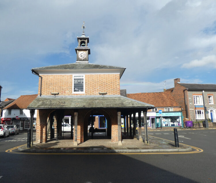
    We now walk along the High Street to reach the Market House, this was rebuilt in 1824 as a Cornmarket by the Lord of the Manor, John Grubb.  The upper story is a meeting hall which over the years has been used variously, including during World War II as the Control Centre for the local Air Raid Precautions.

    From the Market Square we head along Church Street back to our starting point in the car park.  Our walk has covered just over nine miles.  It was curtailed by the rain, but it has been an interesting afternoon wandering about. 

    You can view this 9 mile walk on OS Maps and download the GPX File Here

    To follow my walk you will need Ordnance Survey Explorer Map OL 181 – Chiltern Hills North

    18th August 2020

    © Two Dogs and an Awning (2020)

    All information on this site is provided free of charge and in good faith and no liability is accepted in respect of damage, loss or injury which might result from it.  To the best of my knowledge the routes are entirely on public rights of way or within areas that are open for public access.
    Walking can be hazardous and is done entirely at your own risk.  It is your responsibility to check your route and navigate using a map and compass.

  • Pishill and Russell’s Water

    Pishill and Russell’s Water

    Yesterday was a day of thunderstorms and heavy rain so it was a case of trying to find a window between the downpours to get out and walk.  I saved my main walk until early evening and managed to stay dry on a familiar route from Cholsey Grange CL to visit the Cobstone Mill.  

    Today there are still storms about but I would rather walk in rain than the oppressive heat of last week.  Crosby and I are heading out for a jamabout from the caravan site.  I use the term jamabout for a walk without a predetermined route.  I often head off with a rough idea of where I am going and then spot something interesting, or just decide to explore a path I have not walked before.  It is a great way to walk and has taken us to some interesting spots.

    With lunch, water and wet weather gear packed in the rucksack Crosby and I head off from Cholsey Grange via the farm track to Ibstone Common and pass the cricket ground and pavilion.  I follow the tarmac lane past Hellcorner Farm and on reaching the footpath that continues straight on from the lane gradually descend through woodland.

    At a bend in the footpath I take the right fork going onto the downs with pleasant views of the valley.

    I go downhill,  straight over a field and through a gate into woodland. This brings me to Holloway Lane, which I cross to take the track directly opposite climbing up through woodland.

    The track leads top hill to arrive at Turville Heath near the Barn cafe.

    I head south across the heath to reach a minor road where I turn right and then in a few yards come to a bus shelter, here I cross the road and take the footpath opposite which goes through a kissing gate besides a house.  Following the clear path I cross fields going through further kissing gates to reach a track where I turn right. 

    This track leads to a bench with fine views across the valley and then descends through arable fields to a crossing of paths.  I go straight over and head up the opposite side of the valley.

    On reaching a track, Hollandridge Lane I cross and join a footpath that descends to a lane where I turn left and walk a few yards to a road.  I turn right and then after fifty yards take a lane on the left signposted to the church.  This lane heads uphill to reach the attractive Pishill church.  

    Resuming my walk I continue uphill to pass Pishill House and then at a junction in the path go right to head east towards Long Wood.  This track soon leads into woodland.

    At a crossing of paths in the woods I continue straight on, still heading east towards Russell’s Water.  The path leaves the woods and becomes hedge lined and then passes farm buildings to reach a common.  

    I now follow a track across the common, still heading east and then as I near the village I turn right to head north around the edge of the common on the Chiltern Way.  The well used path reaches trees and I follow the clear way-markers heading downhill.

    On reaching a road I cross and join a Permissive Path that heads steeply uphill through the trees.  Such paths are always welcome as they mean  avoiding a section besides a road.  I often wonder why more local authorities don’t work with landowners to ensure safe passage for walkers.  This path is well marked, and well used as it is on the Chiltern Way.

    As the path starts to level it re-joins a public footpath with clear way-markers for the Chiltern Way.

    This is an attractive area of woodland.  I stay with the Chiltern Way as it undulates towards College Wood.

    Once in College Wood there is a steep ascent to reach a gate to a field of pasture.  One of the many signs on the gate highlights that the gate was paid for by the local Brakspear brewing company in exchange for circular walks from various pubs.  I must be missing a trick, I have over 700 walks from 75 caravan sites.  Perhaps I should I have done my blog as walks from pubs!

    I cross a field of pasture and then go through another gate to reach Hollandridge Lane.  I cross and continue on the Chiltern Way over a field and into woodland.  At a crossing of tracks in the trees I go straight on heading north on a clear track.

    The track leaves the trees and continues between fields  and then at a way-marker goes right beside a fence and then narrows between properties.  On reaching a lane I turn right and follow this track into North End where I turn left and walk besides the village green  to reach a junction of minor roads besides the village pond.  Here I go straight on along a track which soon reaches a gate into the Wormsley Estate.

    I continue along the bridleway which soon becomes a fine sunken track heading downhill.

    On reaching an estate road at the foot of the hill I take a footpath through a gate on the right and head across a field to Hale Wood.  The path through this small area of woodland reaches a field which I cross and then follow the path into Great Wood and start to head uphill. 

    This is a stiff ascent and I try to tackle it without stopping which is a  great test of both legs and lungs.  Fortunately it is a cooler day today and I manage the ascent in one go.  A few days ago in the heatwave I would have needed a couple of stops. Emerging from the trees the path crosses a field towards houses.  

    Following the path between gardens it then joins a driveway leading to Grays Lane.  Here I turn left and follow the lane to pass Ibstone Common and the village cricket pitch where the storms of the last few days have put some colour back into the parched grass.

    From the Common I cross the road and follow the driveway back to the caravan site.  It has been a very pleasant day walking.  I have covered just over ten miles and managed to avoid any rain.

    You can view this 10 mile walk on OS Maps and download the GPX File Here

    To follow my walk you will need Ordnance Survey Explorer Map 171 – Chiltern Hills West

    13th August 2020

    © Two Dogs and an Awning (2020)

    All information on this site is provided free of charge and in good faith and no liability is accepted in respect of damage, loss or injury which might result from it.  To the best of my knowledge the routes are entirely on public rights of way or within areas that are open for public access.
    Walking can be hazardous and is done entirely at your own risk.  It is your responsibility to check your route and navigate using a map and compass.

  • Aston Rowant Nature Reserve and Turville Heath

    Aston Rowant Nature Reserve and Turville Heath

    Each year when I visit Cholsey Grange CL I try to include a walk to Aston Rowant Nature Reserve.  There is the option to drive nearer to the reserve and start from there, but my preference is always to set off from the caravan site.  It is another hot day and I plan to walk over ten miles so I load the rucksack with plenty of water, both Crosby and I will need regular drink stops.

    I leave Cholsey Grange by walking up the farm drive and crossing the road before going over the cricket field and carrying on diagonally across Ibstone Common to pass the standing stone.

    Continuing across the Common I enter woodland and turn left through a gate to join the Chiltern Way.  The chalky path leads steadily downhill, the Chiltern Way soon heads off to the left but I take the right fork that continues through Commonhill Wood, then into the open with woods to our right. 

    I join a track that takes me past the entrance to Wormsley Cricket Ground. At a footpath on the left I head around Wellground Farm.

    I then start to climb into Langleygreen Plantation and at a crossing of paths turn left to walk downhill through the trees towards Lower Vicar’s Farm.

    I reach a paddock and cross this diagonally towards the left and then skirt in front of Lower Vicar’s Farmhouse. On reaching a tarmac lane I turn right and follow this route steadily uphill.  The track passes Upper Vicar’s Farm and then through a metal gate and up to a road that I cross to enter a field opposite.  After crossing this field I am at the top of Aston Rowant National Nature Reserve.  From here there is a cracking view across the valley below.

    This is a cracking spot and a perfect place to sit on a bench and take a break to rehydrate.  All the while there is the hum of traffic on the nearby M40, but I try to block this out and enjoy the view.   After passing through a couple of gates I pick up a tarmac lane heading down to the Icknield Way / Swans Way / Ridgeway Path, here I turn left to follow the broad track.

    Just short of two miles along the track I reach a tarmac lane and turn left to follow this, this is the route of the Oxfordshire Way, and I soon pass the sawmill and cattery at Pyrton Hill House and then continue straight on up the footpath as it heads over Pyrton Hill.

    As the path begins to levels out I fork right still on the Oxfordshire Way, to cross fields to reach a road where I turn right and then fork left soon after into Hollandridge Lane.  After 100 yards the road sweeps to the left, but I continue along Hollandridge Lane, this is a Restricted Byway heading towards Stoner.  As the track enters Queen Wood I take a footpath on the left, now I am back on the Oxfordshire Way and I follow this through the attractive Fire Wood.

    This path leads through the bottom of a valley to reach a junction of paths where I continue straight on, to follow the path through Longhill Hanging Wood. As the track leaves the trees it becomes an estate road passing Turville Park Farm. 

    I am always intrigued when I pass this farm because there are usually a couple of old buses parked in the barns.  I have walked by many times but have never seen anyone to have a chat with about them.

    After passing the farm I continuing along the bottom of the valley passing through a gate.  Then on reaching a crossing of paths I turn left to head uphill on a track between arable fields with fine views along the valley.

    At the top of the hill there is a bench perfectly placed for a stop for another drink and opportunity to admire the view.

    I now follow the  track to an old metal kissing gate and go through to head across a couple of fields of pasture with newer kissing gates to reach Turville Heath.  

    On reaching Turville Heath there is a bus shelter, a number of years ago I pinned a card with details of my blog on the notice board.  I am pleasantly surprised to see it is still there!

    I cross the heath towards the Barn Café and then turn left and walk along to the footpath that follows a flinty track as it descends steeply towards Holloway Lane.

    After crossing the tarmac road I continue on across a field of pasture and cross another lane to pass through a small section of woodland to enter another arable field.  The route heads steadily uphill to a stile, then continues on the well-defined path to a kissing gate.  I then turn left to follow the bridleway, lined with Beech trees, towards Ibstone.

    The path becomes a tarmac lane and continues on to Ibstone Common.  From here it is a short stroll back down the driveway of Cholsey Grange CL. My walk has covered close to thirteen miles on a very hot day.  There is a suggestion of thunderstorms due soon.  It will be a blessed relief from this persistent heat.

    [To follow our walk you will need Ordnance Survey Outdoor Explorer Map 171 Chiltern Hills West]

    You can view this 13 mile walk on OS Maps and download the GPX File Here

    11th August 2020

    © Two Dogs and an Awning (2020)

    All information on this site is provided free of charge and in good faith and no liability is accepted in respect of damage, loss or injury which might result from it.  To the best of my knowledge the routes are entirely on public rights of way or within areas that are open for public access.
    Walking can be hazardous and is done entirely at your own risk.  It is your responsibility to check your route and navigate using a map and compass.

  • Sweltering in the Chiltern Hills

    Sweltering in the Chiltern Hills

    The weather continues to be stiflingly hot in the Chiltern Hills.  I am not a creature who enjoys very hot weather, I like it warm but once it gets near 30 degrees that is too much for me.  I am well past the age for sitting in the sun to get a tan.  I did in my younger days, but now worry too much about the damage I may have caused to my skin so I am rarely seen without a hat, long sleeved shirt and trousers.

    Yesterday I ventured out for a ten mile walk with Crosby.  We headed across to Christmas Common and enjoyed a section in shady woods.  When we left the woods Crosby was very reluctant and unusually for him tried to walk in any available shade.  I ventured out with four litres of water. Two for me and two for Crosby and we consumed it all.  It was a walk we have done before, details of which can be found here.

    Today we were up early and out for a few miles before the sun gave too much heat.  But come late afternoon Crosby is keen to set off again. We head downhill along the track that leads onto the site and follow it around the field to join a footpath and turn right.  After entering Penley Wood I turn left to follow the path along the bottom of the valley.  

    After crossing a stile I turn right and follow the farm track around the edge of the field to reach a stile besides a gate.  This track leads up to stables at Coopers Court Farm and a few yards after the stile I turn left to join the Chiltern Way and follow it as it follows a fenced path and then goes alongside the edge of fields.

    After passing through a belt of trees I go along the edge of a field to reach a fork in the path.  I stay close to the hedge line on a track that leads to the driveway to Studdridge Farm.  I cross the track and go along the edge of a field to reach woodland.  Here I follow the way-markers to reach the Ibstone Road.

    I cross the road and follow a path along a track leading into the Wormsely Estate.  This track heads steadily downhill to an estate road close to Wellground Farm.  I turn left and follow the road through the Estate.  This becomes a track and then when it forks I go left.

    The path heads steadily uphill through the trees of Commonhill Wood.  This is a long steady incline and on a hot afternoon the shade is welcome. 

    I keep with the path as it continues uphill to reach a gate and turn right to reach Ibstone Common.    The recent extreme hot weather has parched the grass on the Common and even though it is past 5pm the heat of the sun after being in the shade is overbearing.  I cross the common to pass the large Millennium stone.

    After crossing the cricket field I head back down the driveway to Cholsey Grange.  I have covered just under five miles which has been quite enough in this heat.

    To follow our walk you will need Ordnance Survey Explorer Map 171 – Chiltern Hills West

    You can view this 5 mile walk on OS Maps and download the GPX File Here

    10th August 2020

    © Two Dogs and an Awning (2020)

    All information on this site is provided free of charge and in good faith and no liability is accepted in respect of damage, loss or injury which might result from it.  To the best of my knowledge the routes are entirely on public rights of way or within areas that are open for public access.
    Walking can be hazardous and is done entirely at your own risk.  It is your responsibility to check your route and navigate using a map and compass.

  • Leygrove’s Wood and Cadmore End

    Leygrove’s Wood and Cadmore End

    A key feature of our caravan travel over recent years has been the annual fortnightly trip to Cholsey Grange CL to look after the site whilst the owners Ted and Jackie go away on holiday.   This is the sixth year we have  kept an eye on things and it’s always a trip I look forward to.  It is a great site and there are plenty of cracking local walks to keep me occupied and I rarely go far in the car, so it is a good opportunity to relax.

    I arrived a couple of days ago with Crosby, Lynnie has stayed at home for the first week with our older dog Dexter.  Since getting here the weather has been hot, so I have not been walking too far, the midday heat is a bit much for both man and dog.  Therefore we have been doing a couple of miles early in the morning and then heading out late afternoon for a longer walk.

    After setting everything up on Thursday I did a pleasant circuit covering a couple of miles which took me from the site into Twigside Bottom and then past Ibstone House, returning to the site via woodland and Ibstone Common.  It is a walk I have previously blogged and details can be found here.

    Yesterday’s walk differed, though I again went through Twigside Bottom but then continued to Fingest and Turville before returning to Ibstone.  Whilst here I regularly do this six mile walk details of which can be found here.

    Today it is another exceedingly hot day, so I leave it until mid-afternoon to head out for a walk with Crosby.  We leave Cholsey Grange through the gate beyond pitch 5 and join the footpath at the southern side of the site and then turn left following the path downhill into Twigside Bottom. 

    On reaching a junction of paths in a clearing  I turn left.  Within a couple of metres at another junction of paths I take a waymarked footpath on the right that heads steeply uphill through the trees.

    Emerging from the trees I follow the path as it heads around an arable field. At the next field the path goes across towards houses in the distance.

    On reaching a minor road, Chequers Lane, I turn left and walk to the junction of the B482, Marlow Road, and turn right and then very quickly take a left turn to join another minor road, Bigmore Lane.

    I stay on this lane, passing the entrance to Bigmore Farm on the right and then Gibbons Farm on the left.  As the road bends to the left I take a footpath on the right which is just off the entrance to Dell’s Farm.  This fenced path leads besides a house and then turns to head towards Leygrove’s Wood. After walking between fields the path briefly runs besides trees before entering the wood.

    At a crossing of paths I turn right to follow way-markers through the trees.

    The path emerges from the trees to cross an arable field towards Pound Wood.

    At a junction of paths in the woods I turn right to follow a track heading steadily uphill towards a tunnel under the M40. On the far side of the tunnel I follow the track up to the B482 and turn right to join the pavement and pass a school.  I now cross the road and walk across a green and follow the lane into Cadmore End. 

    After passing the Church I turn right on a footpath along a track heading out of the village.  At a junction of paths I turn left to stay on the track as it heads downhill to reach the edge of Hanger Wood.  Just as I enter the trees the path divides, I take the left fork which follows along the edge of the wood. 

    Staying on the path I am soon above Hanger Farm, here the path sweeps to the right and descends steadily towards Fingest.  I ignore a footpath on my left leading down a track and go through a gate to enter the edge of pasture land.

    This leads to a fenced and then hedged path that emerges back onto Chequers Lane close to Fingest church.  I turn left towards The Chequers Inn.  At the road junction in front of the pub I turn right and follow the church wall.  As the road sweeps to the left I take a footpath on the right that leads besides a property to reach a junction of paths.  Here I turn left towards a minor road.

    I cross the road and continue along a path through trees across Turville Hill.  After going through a kissing gate I cross a field of pasture, to my right is a view of Cobstone Mill.  This mill featured in that classic film; Chitty, Chitty, Bang Bang.

    I follow the path to reach further kissing gates and then head into Turville where I turn right and walk through the village and then take a footpath on the right opposite an attractive old barn, which is currently being renovated.  This path leads between properties to reach a field.

    Following the clear path across the field I reach another set of kissing gates to enter access land and walk a few yards uphill to another gate on the left.  This leads into woodland with a clear path heading steadily uphill to a kissing gate.  There are fine views along the valley from here.

    I follow the uphill path along the fence line and then along the edge of woodland.  I ignore a path on the right leading into the trees, instead staying beside the fence to the end of the field where I turn right uphill and after twenty yards take a footpath on the left.  This path leads through the bottom of a Beech copse to reach a minor road.

    I turn right up the road and then as it sweeps to the right I turn left to reach St Nicholas’ Church.

    From the church I join a footpath that runs besides the graveyard and follow this through an attractive section of woodland.  

    I stay with this path ignoring footpaths on the right.  The final section in the woods is a short steep ascent to reach Gray’s Lane.  Here I turn right and follow this lane to reach the cricket ground at Ibstone Common.

    From the common I cross the road into the entrance driveway to Cholsey Garage and return to the caravan site.  Despite leaving my walk until late in the day it has been hot  and I have covered over eight miles.  It is time for Crosby and I to have a rehydration session!

    You can view this 8 mile walk on OS Maps and download the GPX File Here

    To follow my walk you will need Ordnance Survey Explorer Map 171 – Chiltern Hills West.

    9th August 2020

    © Two Dogs and an Awning (2020)

    All information on this site is provided free of charge and in good faith and no liability is accepted in respect of damage, loss or injury which might result from it.  To the best of my knowledge the routes are entirely on public rights of way or within areas that are open for public access.
    Walking can be hazardous and is done entirely at your own risk.  It is your responsibility to check your route and navigate using a map and compass.

  • Bagging Trig Pillars on a Circuit from Ewelme

    Bagging Trig Pillars on a Circuit from Ewelme

    Today I am making the short drive to Ewelme on the edge of the Chiltern Hills.  We have previously done a few walks from this attractive South Oxfordshire village.  The starting point for my walk is the public car park close to the village playing field.
    (more…)

  • A Circuit to Leygrove Wood from Ibstone

    A Circuit to Leygrove Wood from Ibstone

    A feature of the last week or so has been the way that the weather has been stunning first thing in the morning and then as the day progresses has become overcast and dreary.  Not what you expect or hope for in late August.  I take the view that whatever the weather there are still great benefits from getting out for a walk.  So with waterproofs packed into my rucksack I head off mid afternoon with Crosby. (more…)

  • Mausoleums, a Deep Well and a Trig Point in the Chilterns

    Mausoleums, a Deep Well and a Trig Point in the Chilterns

    After a couple of days of short walks, today I am heading out for a fifteen-mile walk.  Increasingly I find that at least once a week I need to lace up the boots and head out for a good chunk of the day.  Yesterday evening I spotted a trig point in the area that I have yet to bag, it is about seven miles from Ibstone so perfect for combining with a decent walk.
    (more…)

  • Ibstone to Christmas Common – A Nine Mile Circuit

    Ibstone to Christmas Common – A Nine Mile Circuit

    My walk for today will be a nine mile circuit in the Chiltern Hills starting from Cholsey Grange CL.
    (more…)

  • Visiting Hanger Wood from Cholsey Grange CL

    Visiting Hanger Wood from Cholsey Grange CL

    Whilst studying the Ordnance Survey map yesterday evening I spotted a path through nearby Hanger Wood I have not previously walked.  Obviously this oversight needs to be rectified as soon as possible.  So this afternoon that’s where I am heading.
    (more…)