Category: Region

  • Hills and Forts around Shillingstone

    Hills and Forts around Shillingstone

    I haven’t been out for a day’s walking since returning from my trek between Taunton and Gloucester a couple of weeks ago.  A combination of wet weather and struggling with the aftermath of my last bout of Covid has meant I have lacked the desire to go walking for hours.  However, today the forecast is marginally better and I have arranged to meet up with my walking buddy Nigel from New Forest Navigation.

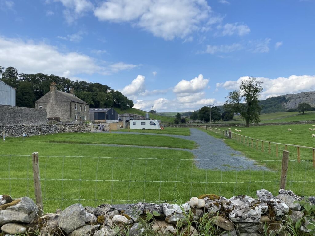
    The start point for our walk is the trailway car park on the junction of the A357 and Bere Marsh on the northern outskirts of Shillingstone (Grid Ref ST822119).  This is a large free car parking area with a height restriction barrier.

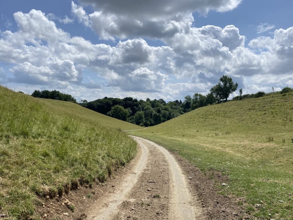
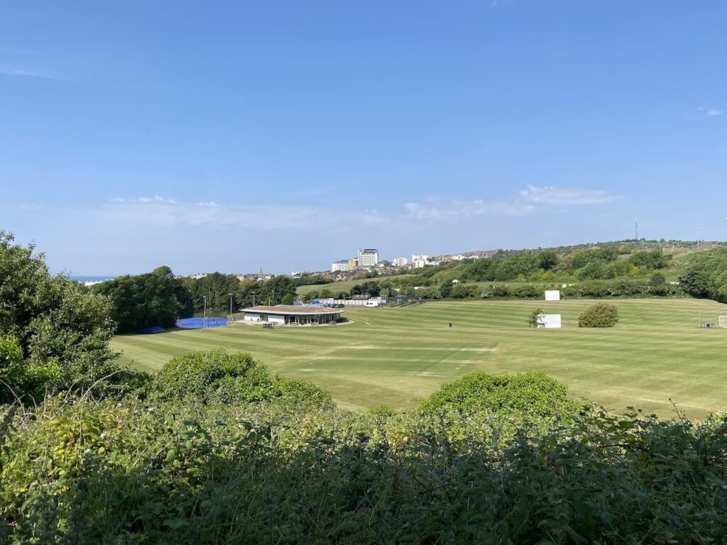
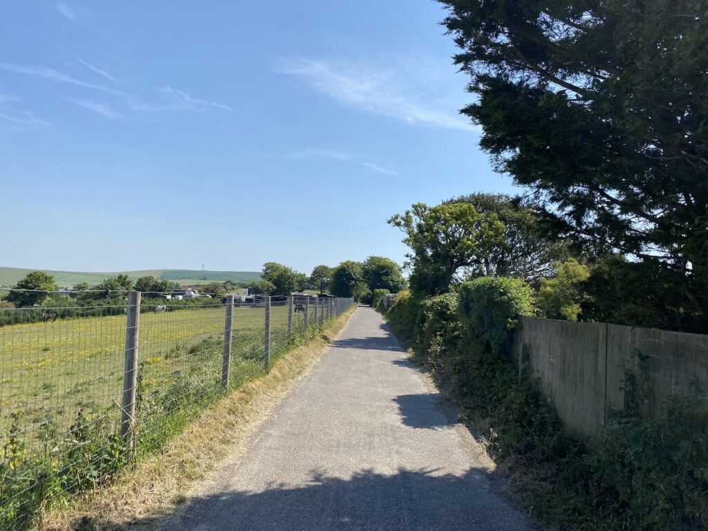
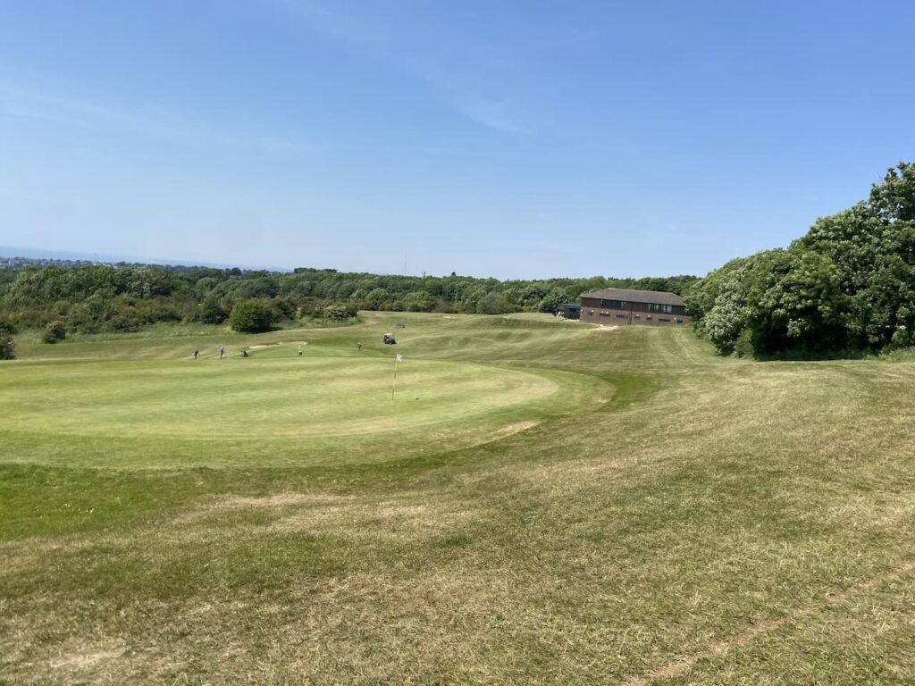
    From the car park we head under the disused railway bridge and turn right to walk up a slight incline to join the North Dorset Trailway and soon reach Shillingstone Station which has an array of locomotives and a cafe.

    Apparently the canopy of the station was erected in 1899 especially for the Prince of Wales, the future King Edward VII, who was visiting Lord Wolverton’s nearby estate for a shooting party. There was concern that without the canopy some precipitation might fall on his regal head.  There is no report about how he was protected from the elements whilst out shooting.

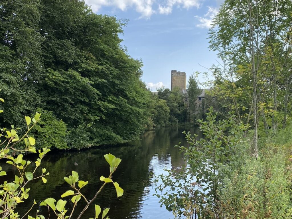
    To our left is the River Stour, which has burst its banks and flooded the surrounding fields.  Later  we will be crossing the river between Child Okeford and Bere Marsh, hopefully it won’t be flooded there.

    Passing the station we continue along the North Dorset Trailway old, this is a 14 mile route from Sturminster Newton to Spetsbury. It predominately follows the old track bed of the disused Somerset and Bristol Railway.  This line once linked Bath to Bournemouth and opened in 1863 to connect the English Channel to the Bristol Channel, it operated until falling victim of the Beeching Cuts in 1966.

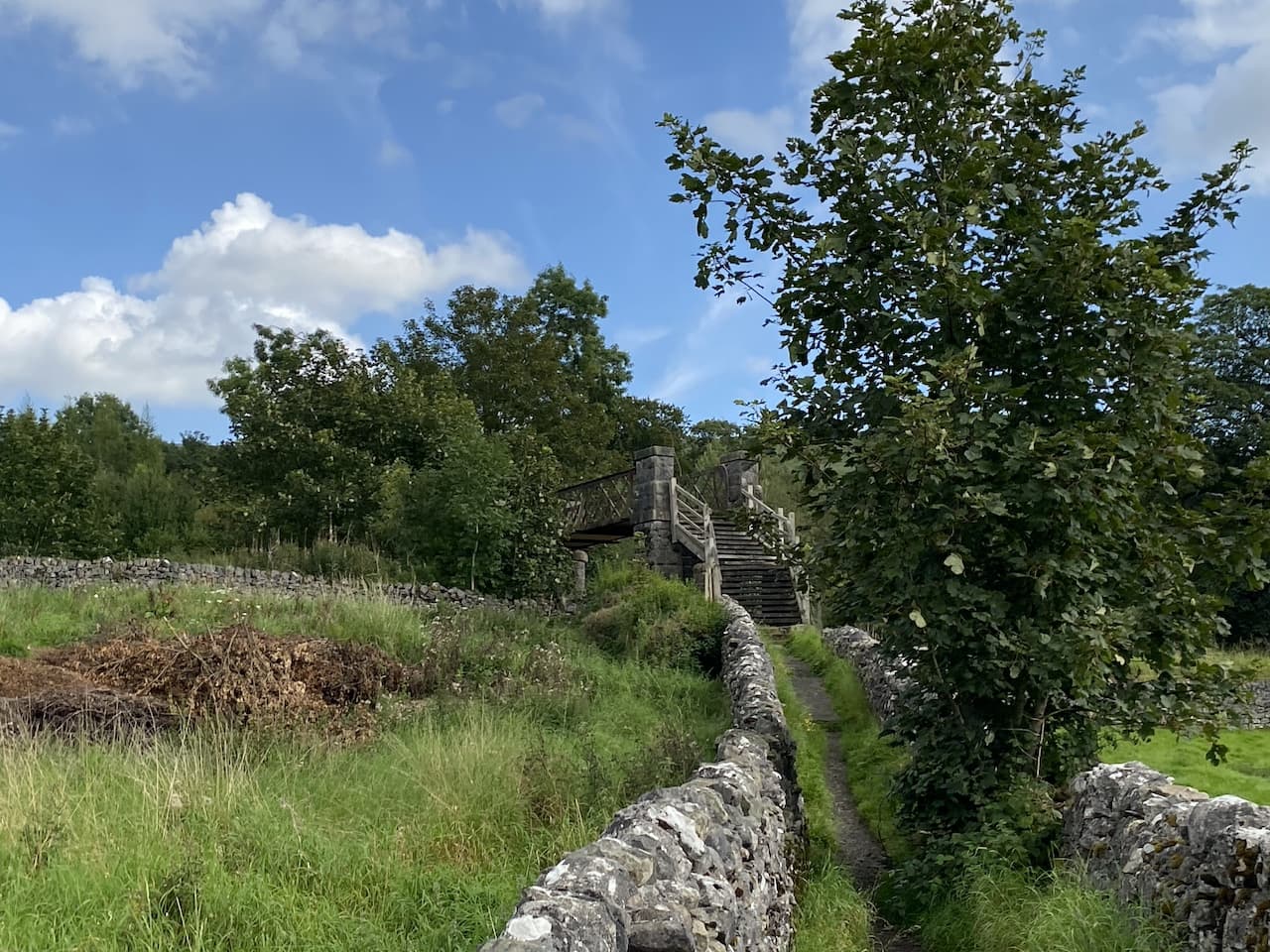
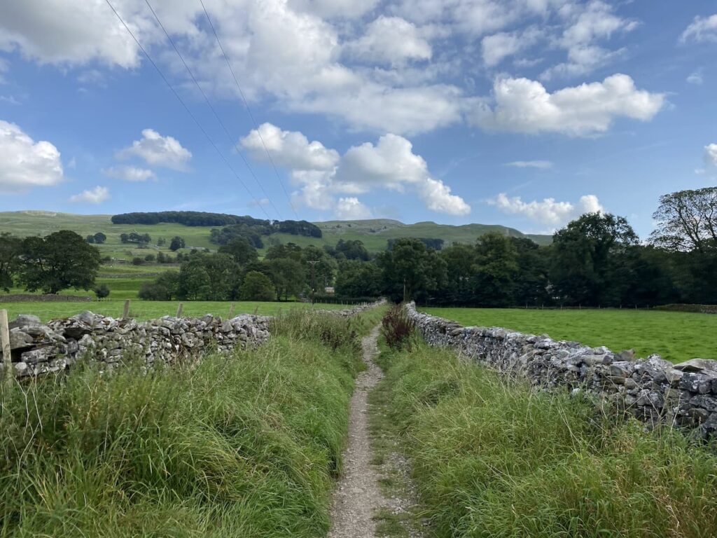
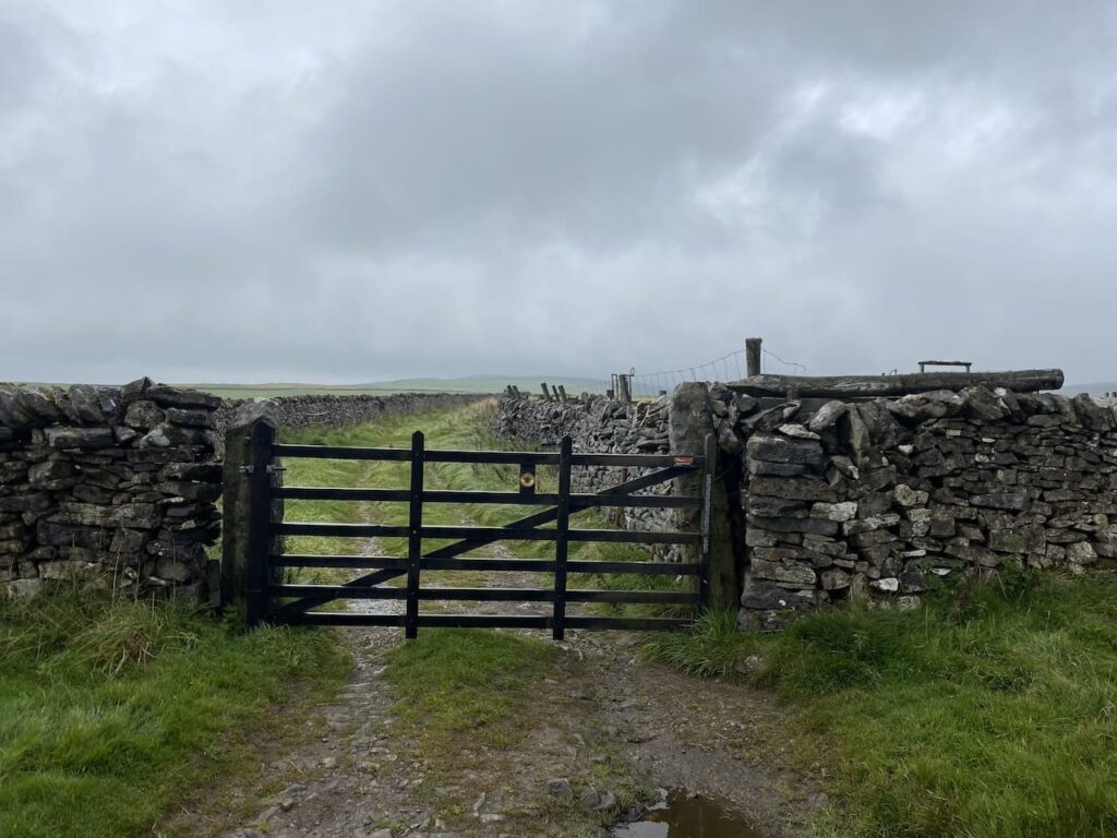
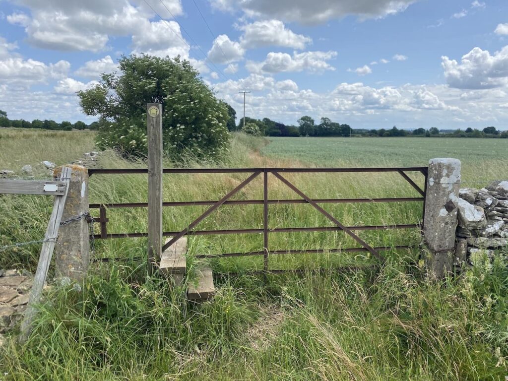
    We ignore a couple of footpaths off to the right and stay on the disused railway line until we reach a point where the Wessex Ridgeway passes under the Trailway.  Here we take a path down to the Wessex Ridgeway and then turn right along a lane and soon cross the A357, Blandford Road, joining a footpath on the far side which goes through a gate into a field.

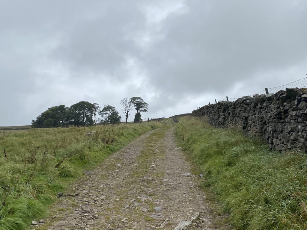
    We quickly pass through the field keeping a watchful eye on a bull on the far side.  He is totally disinterested in us, this is a well-worn path and he must see lots of walkers and presumably has decided they present no threat to him.  Through a gate we turn right along a lane and then quickly reach a junction where we turn left and follow the lane which soon becomes a track.  At a fingerpost we stay with the main track following the route towards Shillingstone Hill.

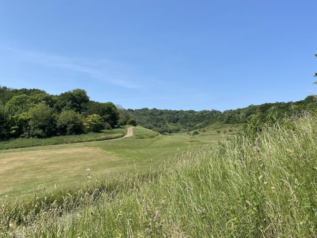
    It is now a long steady ascent through woodland towards the top of Shillingstone Hill.

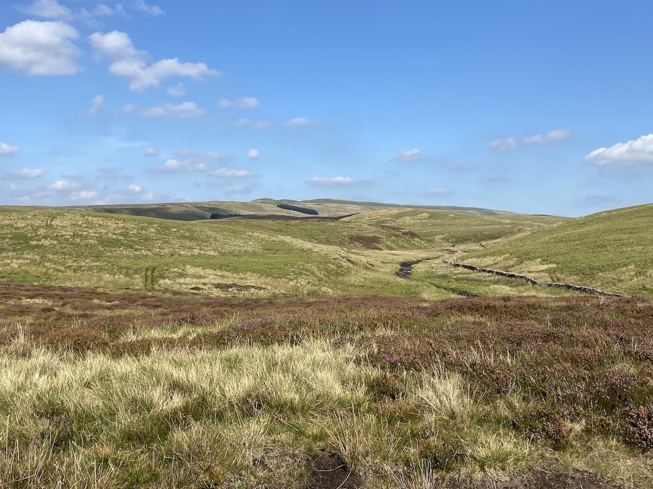
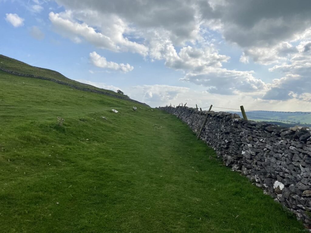
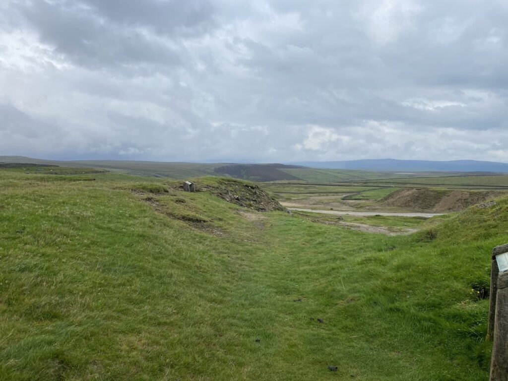
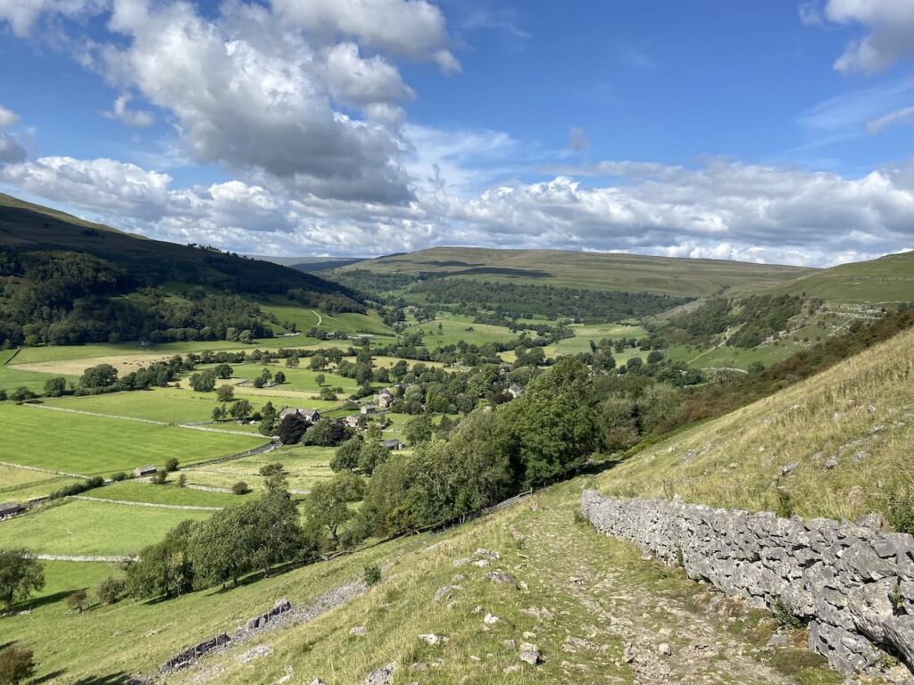
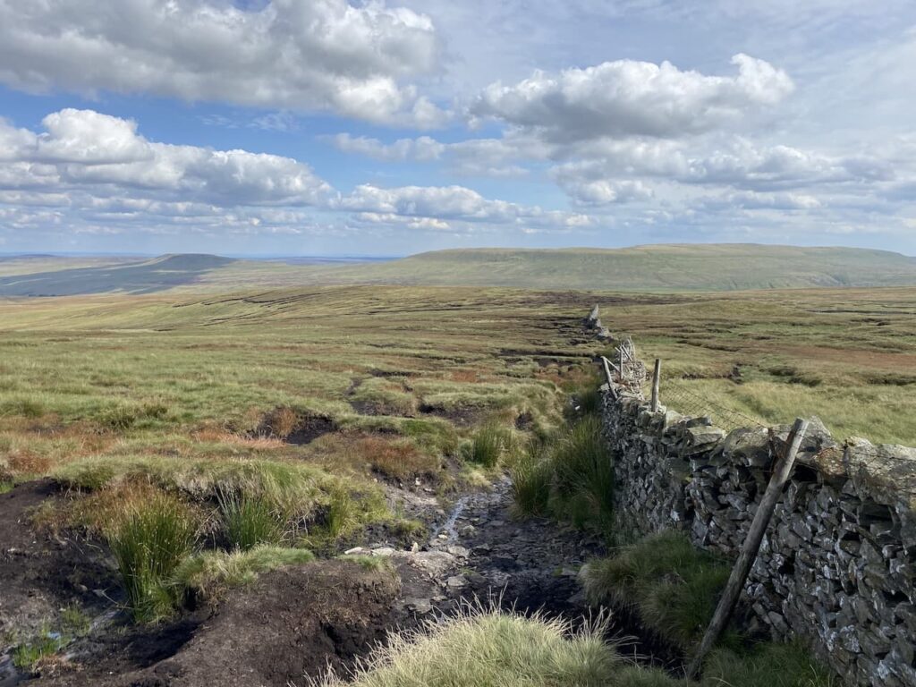
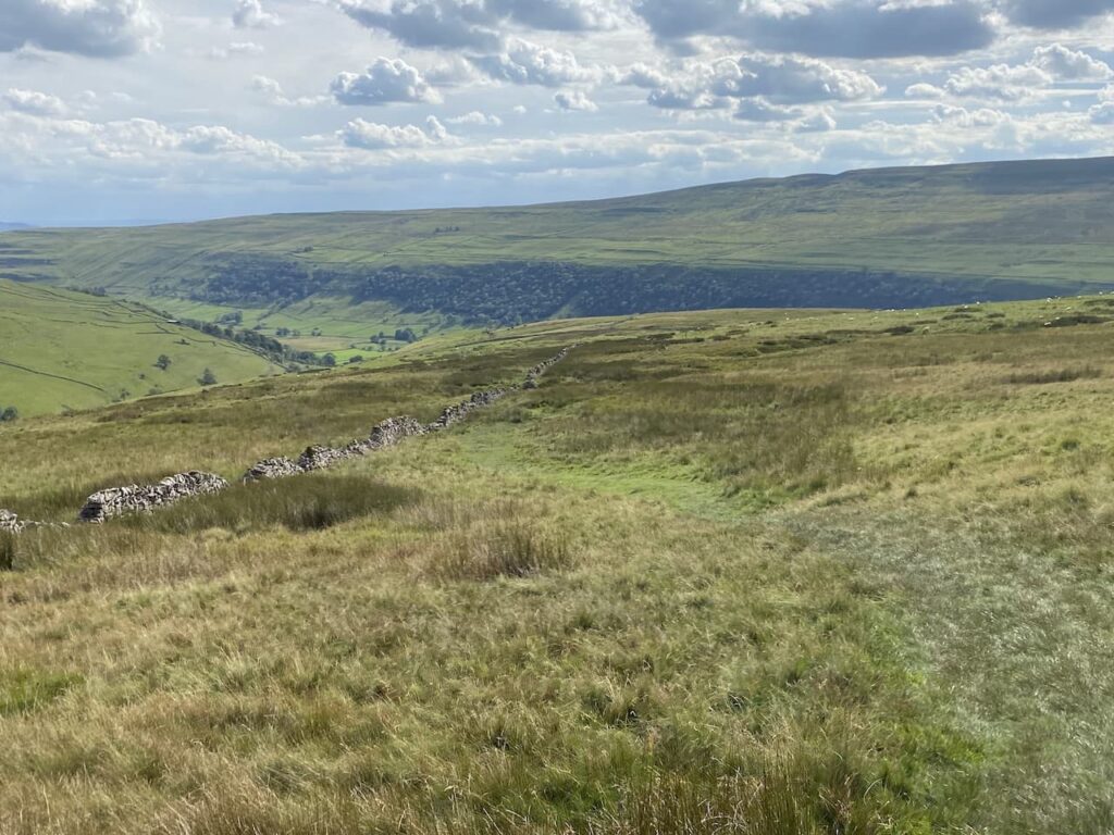
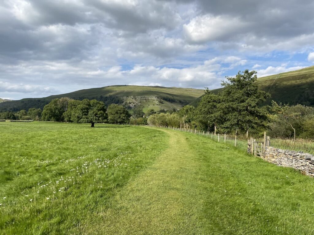
    At a junction of paths on the edge of the woodland we turn left and follow along the field boundary until we reach another junction of tracks, here we turn right along the northern edge of the field.  There are fine views from here.

    Now walking through Blandford Forest we take a track heading in a southerly direction which soon re-enters woodland.

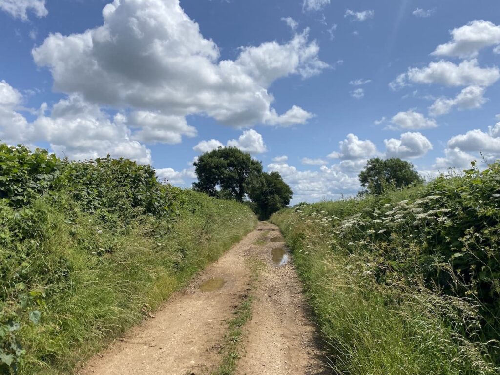
    This is a pleasant area of woodland to walk through.  At a junction of tracks we turn left towards Folly Barn and Durweston.  After passing Folly Barn we leave the tarmac lane and go through a gate to take a footpath which descends steadily to Sutcombe Wood.

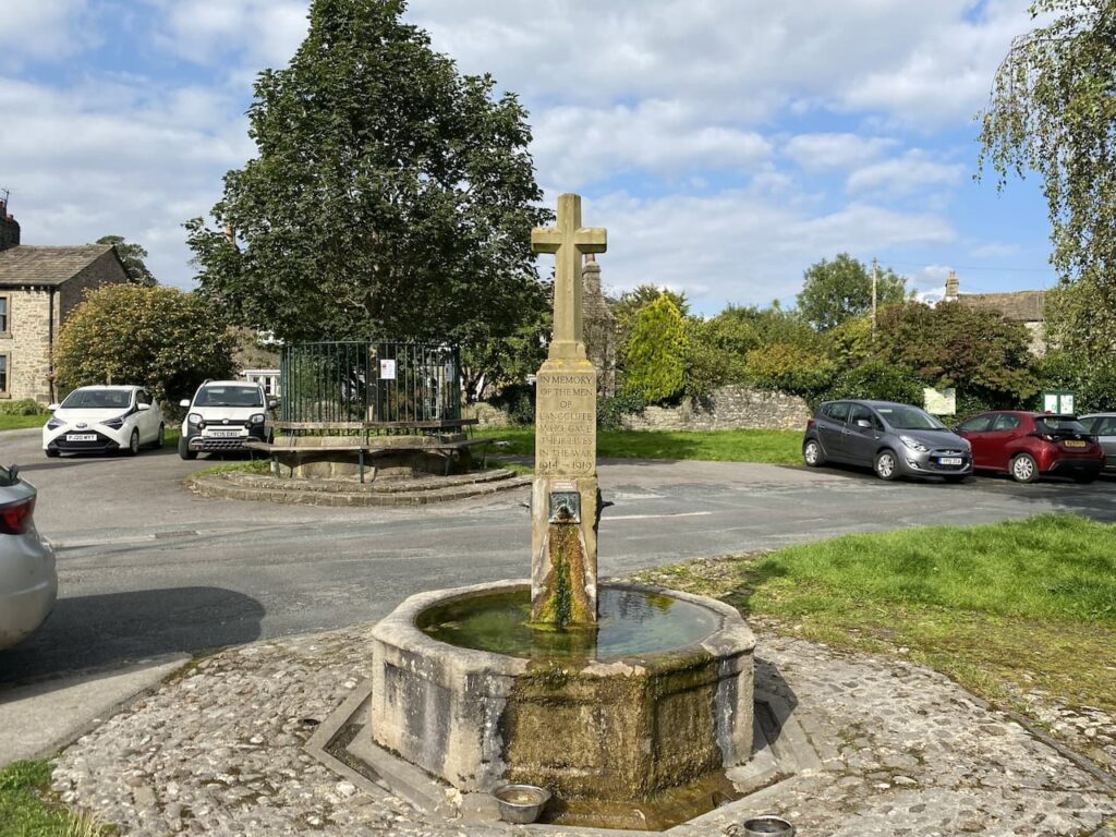
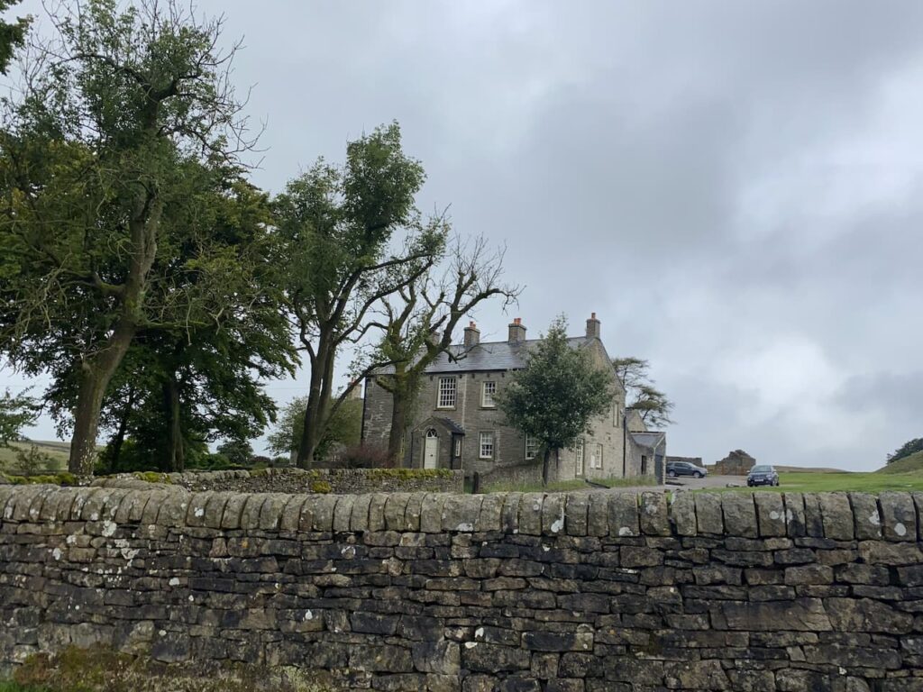
    We pass through a couple of gates and fields to reach the edge of Durweston.  In the village we turn right and then at a junction take another right before quickly turning left into Church Road.  From previous walks we know there is a bench in the churchyard of St Nicholas’ Church which is an ideal spot to sit in the sunshine and have our elevenses.

    Refreshed we resume our walk by heading back along Church Road and turning right to walk downhill to cross the A357 at Durweston Cross to join Water Lane.

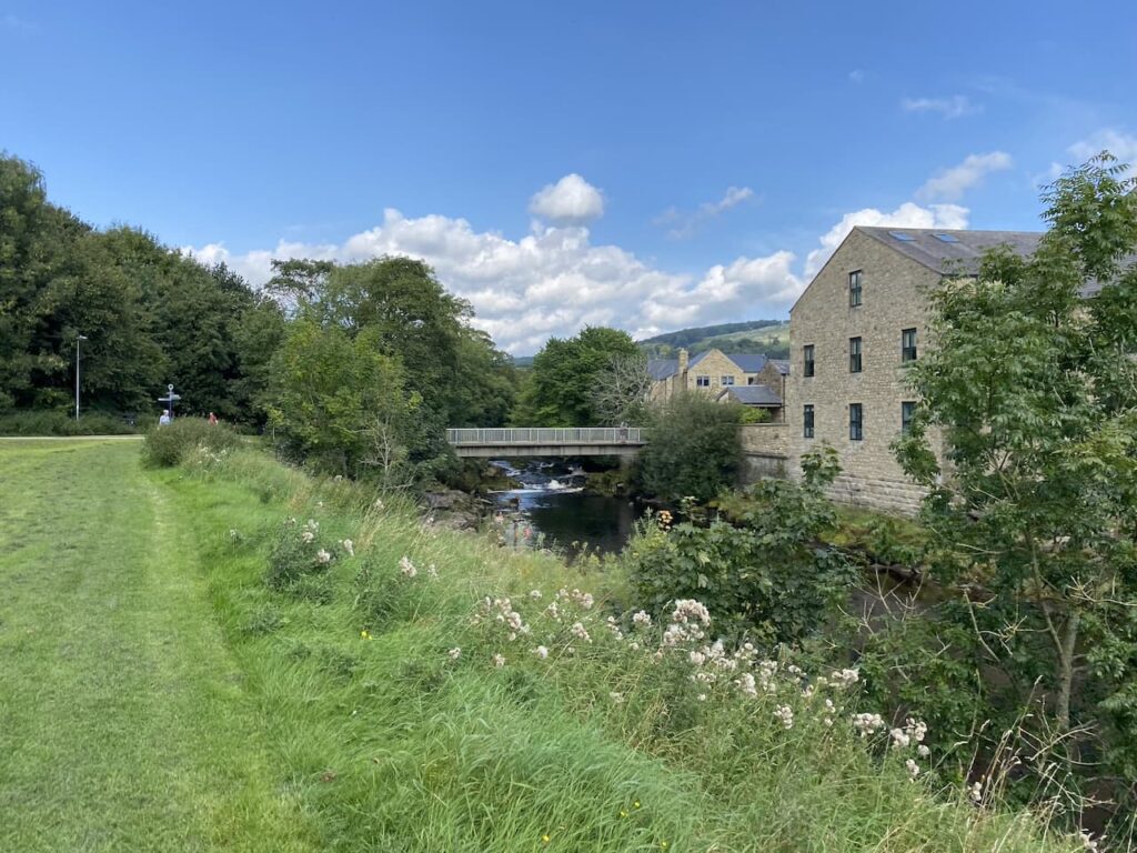
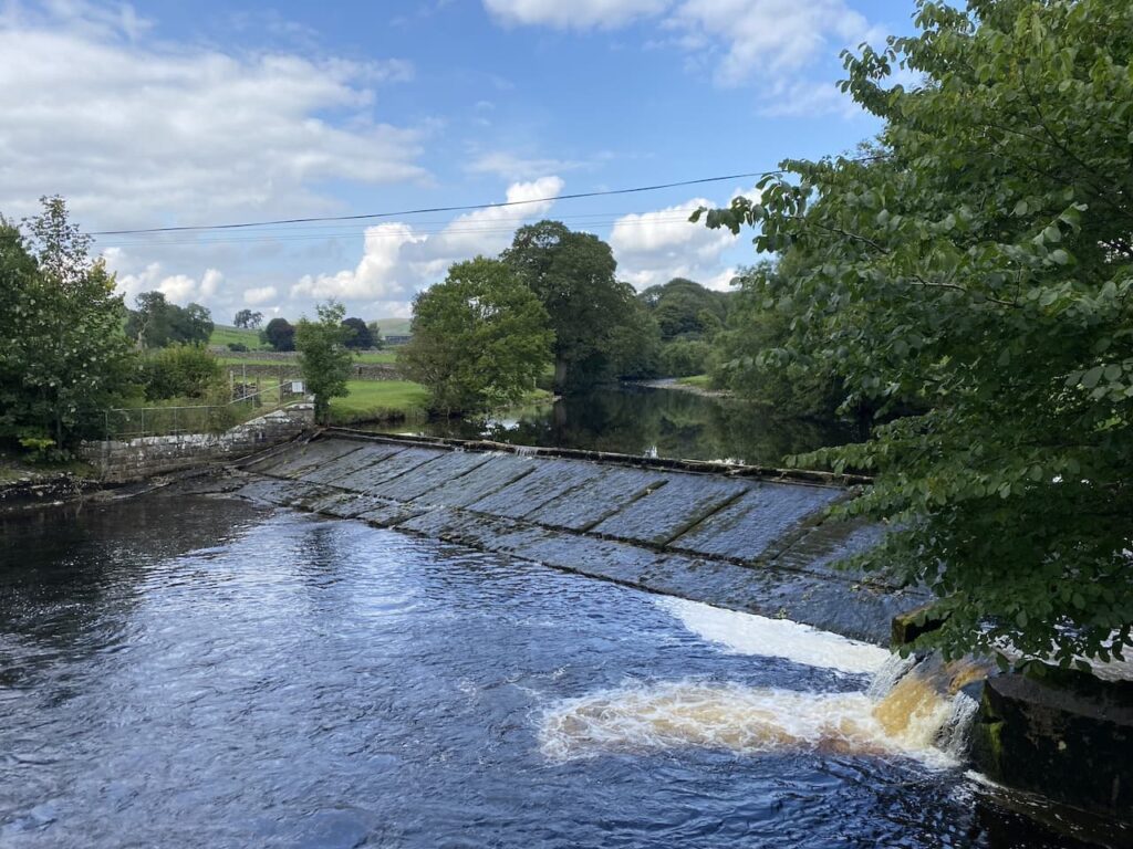
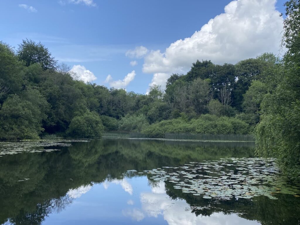
    We continue along Water Lane and then just before the houses end we go left on a path leading to Mill Lane where we turn right to pass the mill and reach the River Stour and the mill pond.  The water in the river is high and there is a lot of foam on the surface.  It would be nice to think this is a result of the water pressure rather than effluent from the sewage works nearby.  Ten years ago I would not have thought this but now it is a sad indictment of the state of our water system that Government Ministers feel it is acceptable for water companies to pump sewage into our rivers.

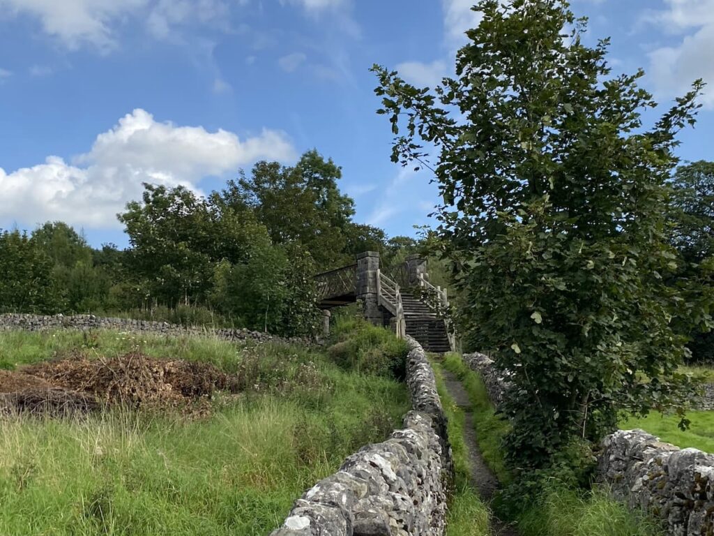
    We have now joined the route of the Stour Valley Way, a long distance 62 mile path along the River Stour from its source at Stourhead to the sea at Hengistbury Head near Christchurch.  After crossing a disused railway line we leave the Stour Valley Way and continue straight on along a track.

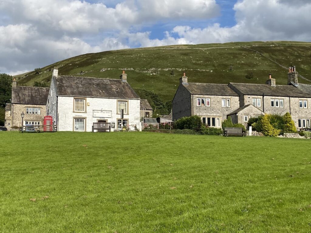
    At a stile beside a gate we enter a field on the left and walk towards the edge of a housing development besides the A350.  Joining the pavement we walk towards the White Horse Inn which also houses the village shop.

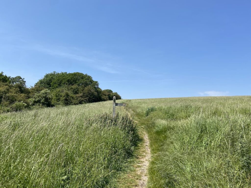
    We will return to this point, but first we are going to bag a trig pillar at Downend Farm.   To do this we cross the road and continue along for fifty metres and then turn right into Bottom Road.  Initially this is a tarmac lane but becomes a hedge-lined path as it gradually heads uphill.  At the end of the track we turn to the right and walk across to the trig pillar.

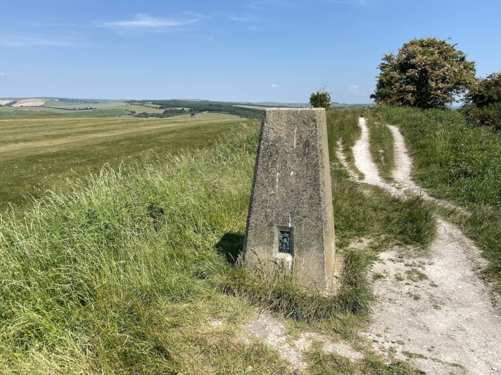
    This trig has been moved from its original location which was in a field on the other side of the farm buildings.  Whilst I prefer to visit trigs in their original location, I am happier that it is moved  than be inaccessible or even worse destroyed.  This is the 412th trig I have bagged.

    From the trig we turn around and head back down Bottom Lane towards Stourpaine.

    Back in the village outside the White Horse Inn we take the lane to the right of the pub, South Holme and follow this into the centre of the village.  It looks like there is rain heading our way so we turn left at the end of the lane a sit on the stone bench inside the lych gate of the church to have our lunch.

    By the time we have finished lunch the rain has eased to steady drizzle.  Our route is now through the village along Manor Road heading north.

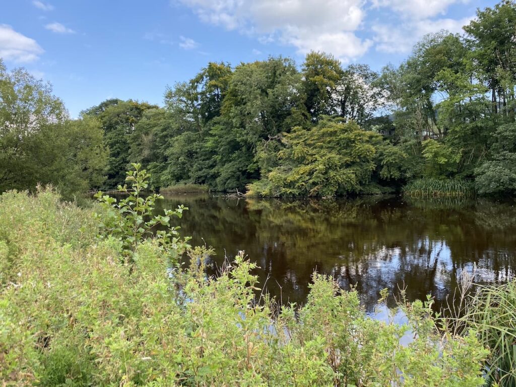
    We are back on the route of the Stour Valley Way and follow the lane to pass cottages and then it becomes a track beside the River Irene.

    At a junction of tracks we turn left, still on the Stour Valley Way heading steadily up towards Hod Hill.

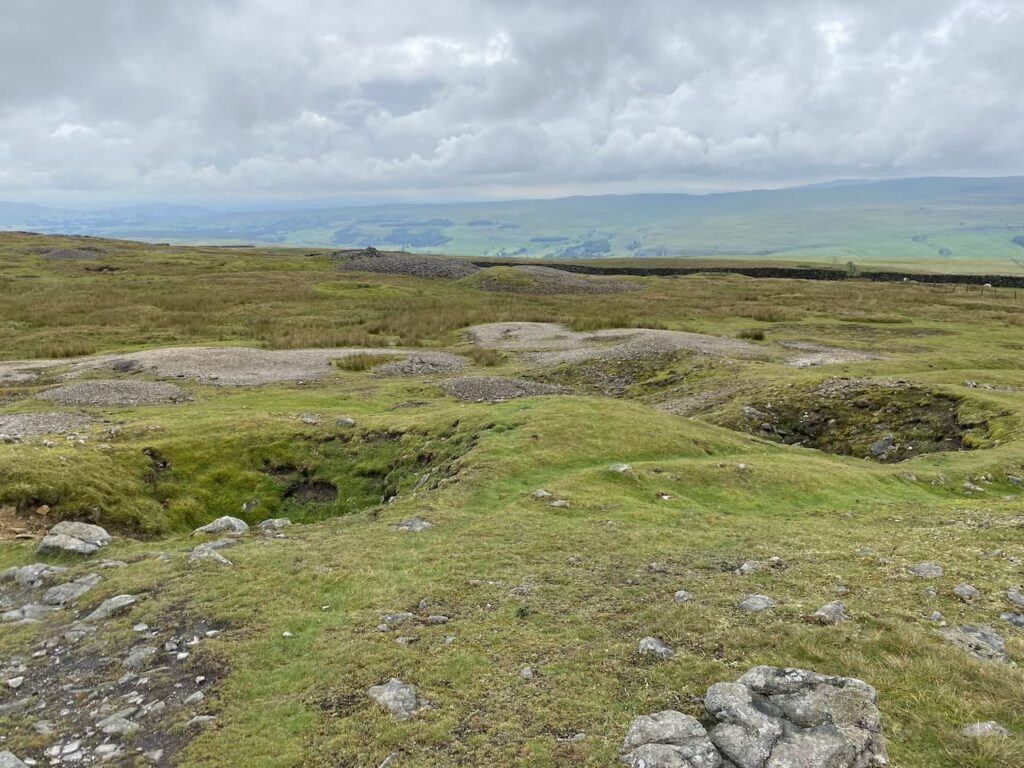
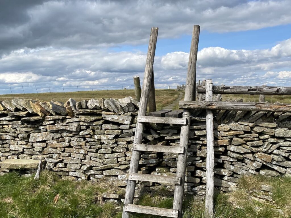
    After going through a gate we go through the ramparts of the Iron Age Hill Fort on Hod Hill.

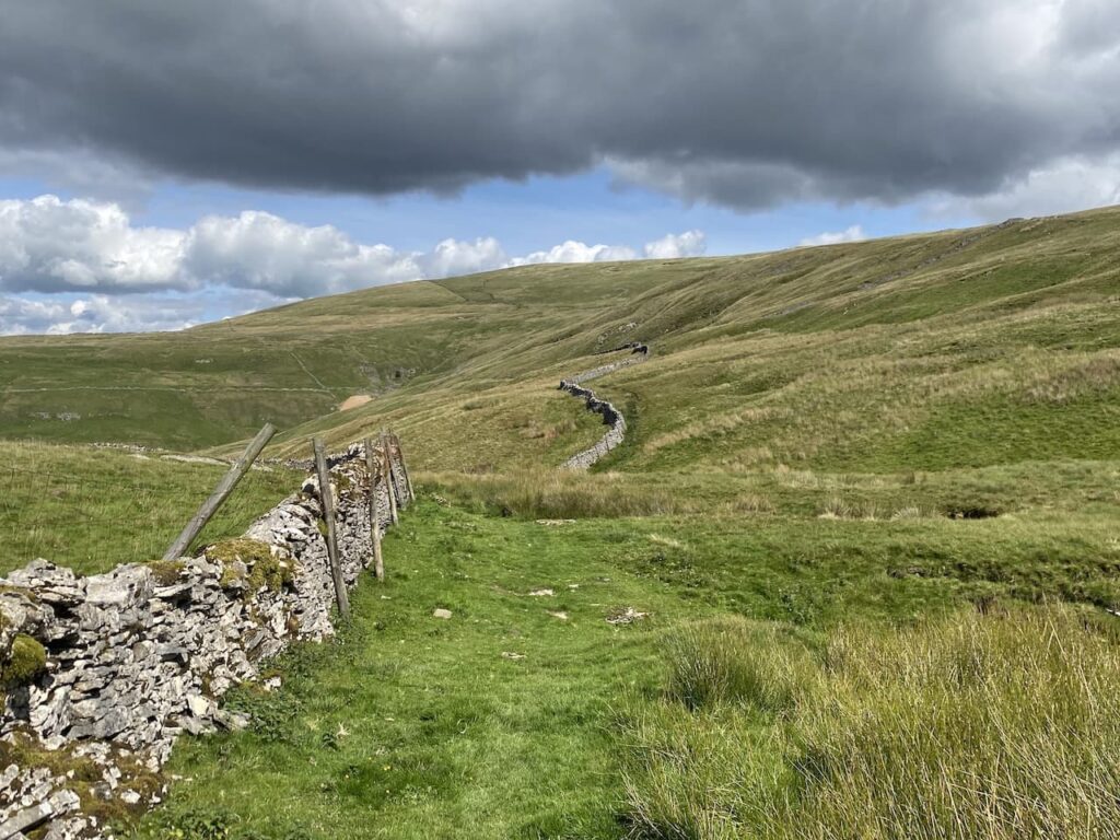
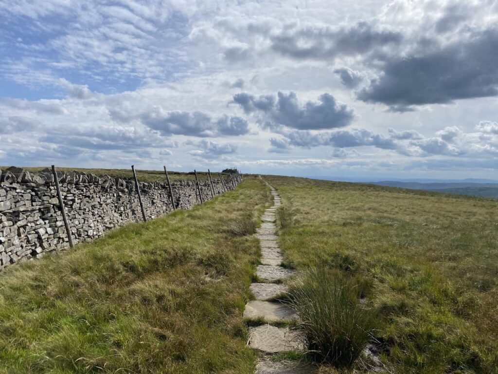
    There are a network of paths on the access land covering Hod Hill, but we stay with the route of the Stour Valley Way across the plateau and through the location of the Roman Fort which was built around AD350. We then descend towards a minor road and Keeper’s Lodge.

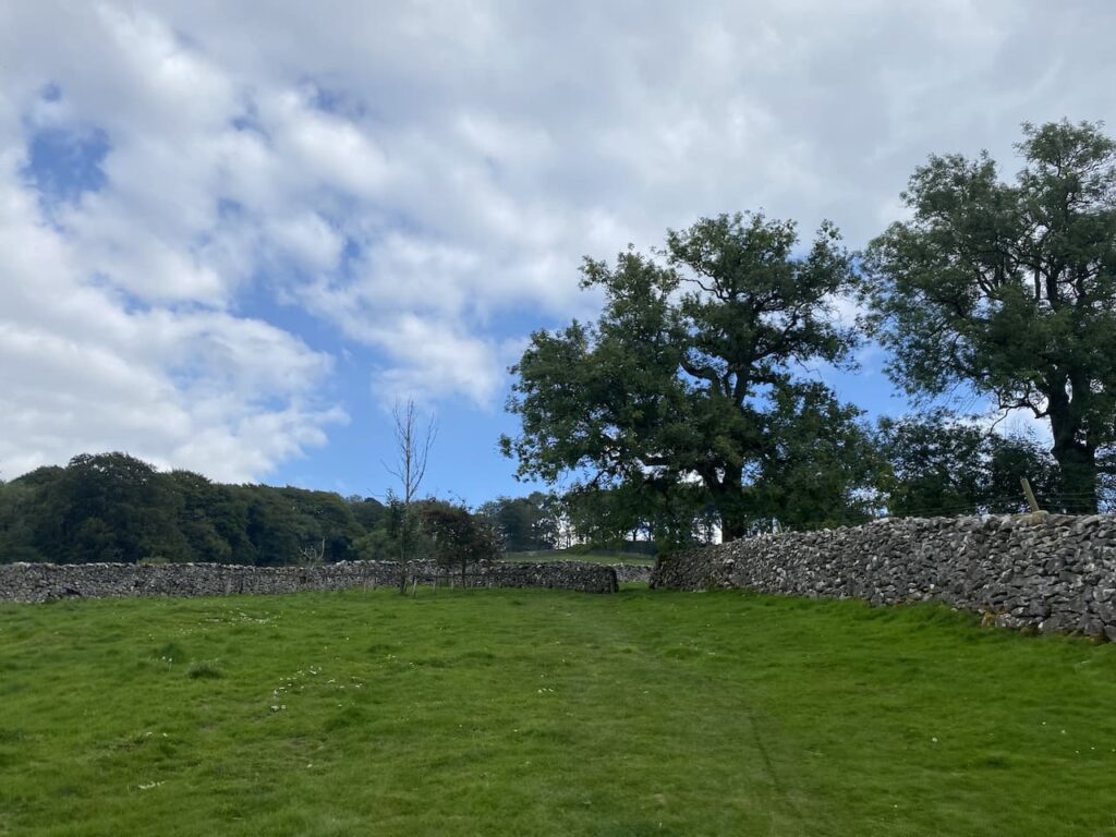
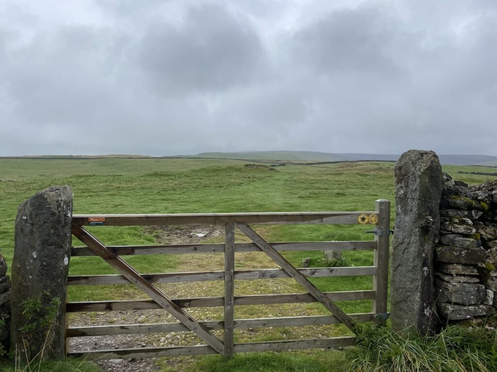
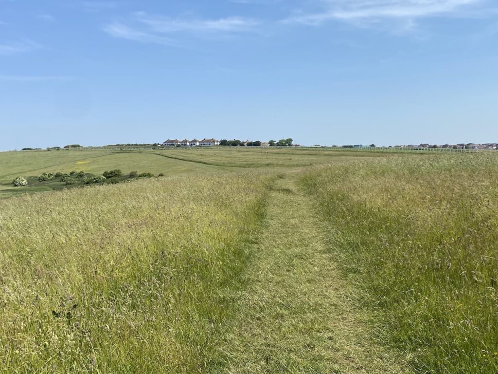
    After crossing the road we take a path to the right of Keeper’s Lodge, still on the Stour Valley Way, it is a long steep ascent towards Hambledon Hill. As the path levels we go through a gate on our left and enter a field of cows, fortunately they are not at all bothered by us and we pass through to reach another gate without incident.  Keeping the fence line to our right we head through this field to reach another gate.

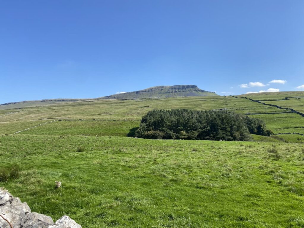
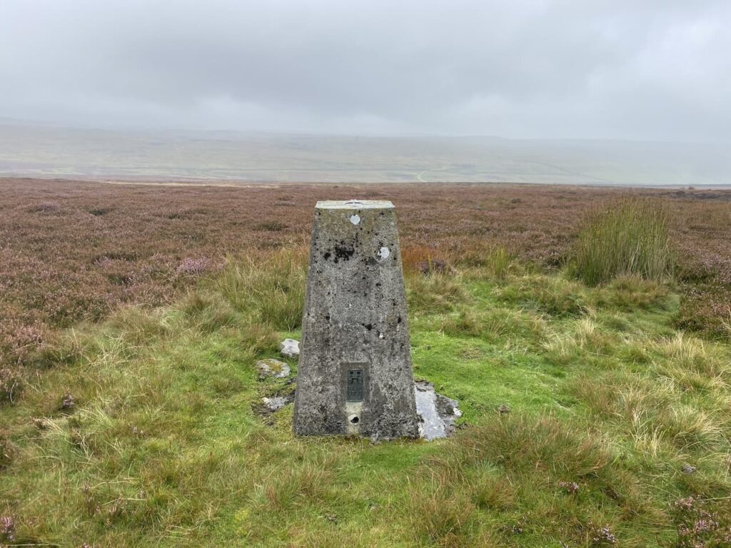
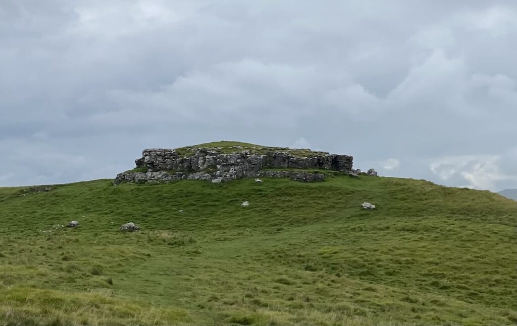
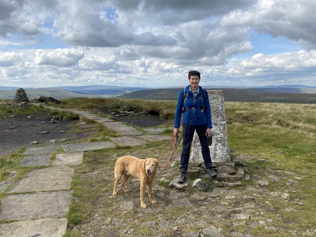
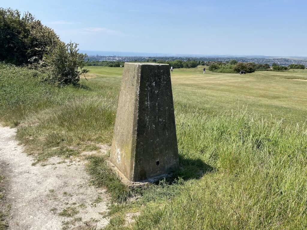
    The path now leads us to the Ordnance Survey trig pillar on Hambledon Hill.  I have bagged this trig before but is still worth stopping to look at the views.

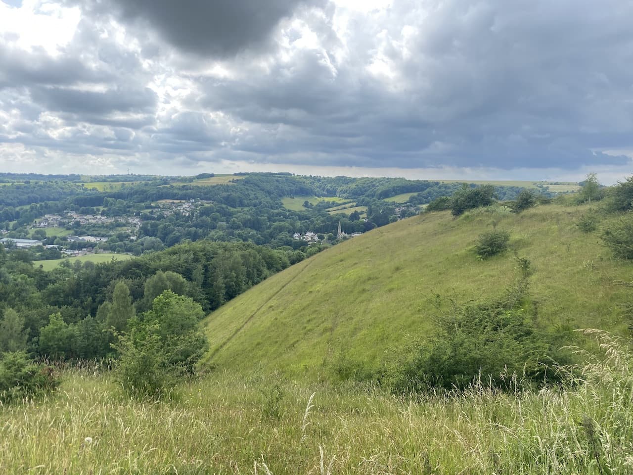
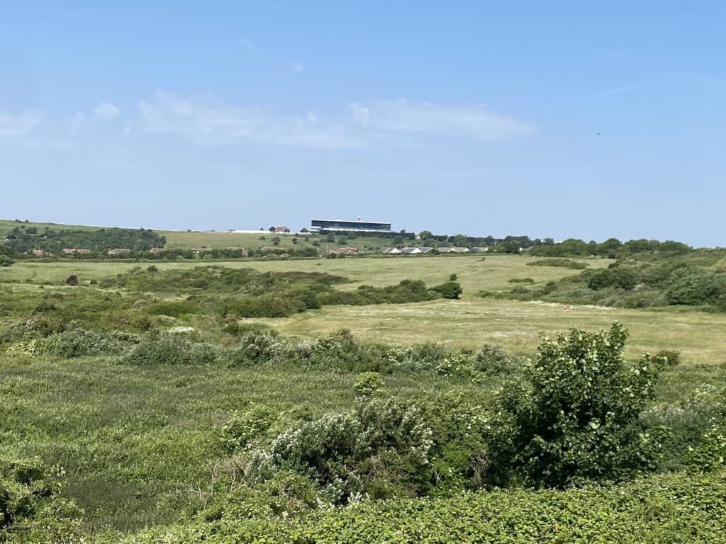
    Soon we are on the edge of the impressive hillfort on Hambledon Hill.

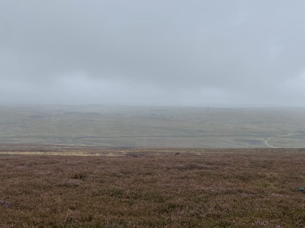
    There are a range of options of routes to take, we decide to head to the southern side of the fort for a good view of the ramparts.

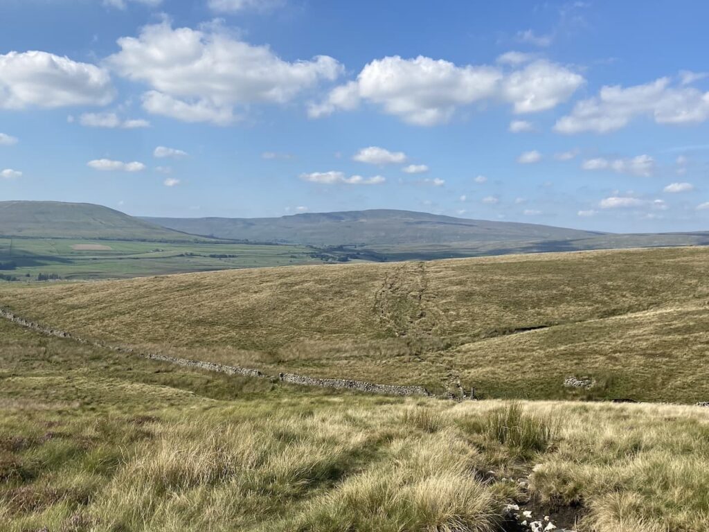
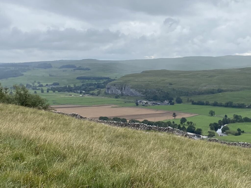
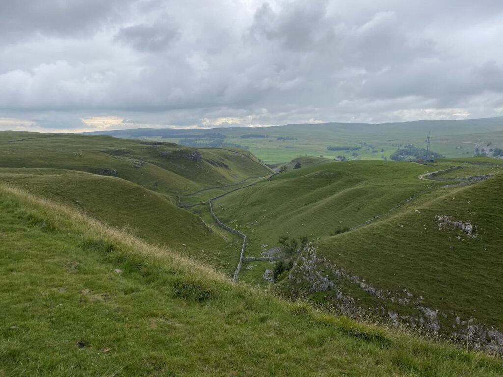
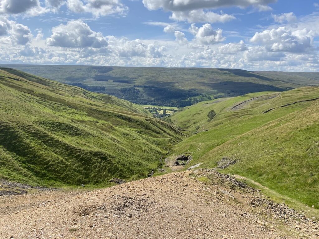
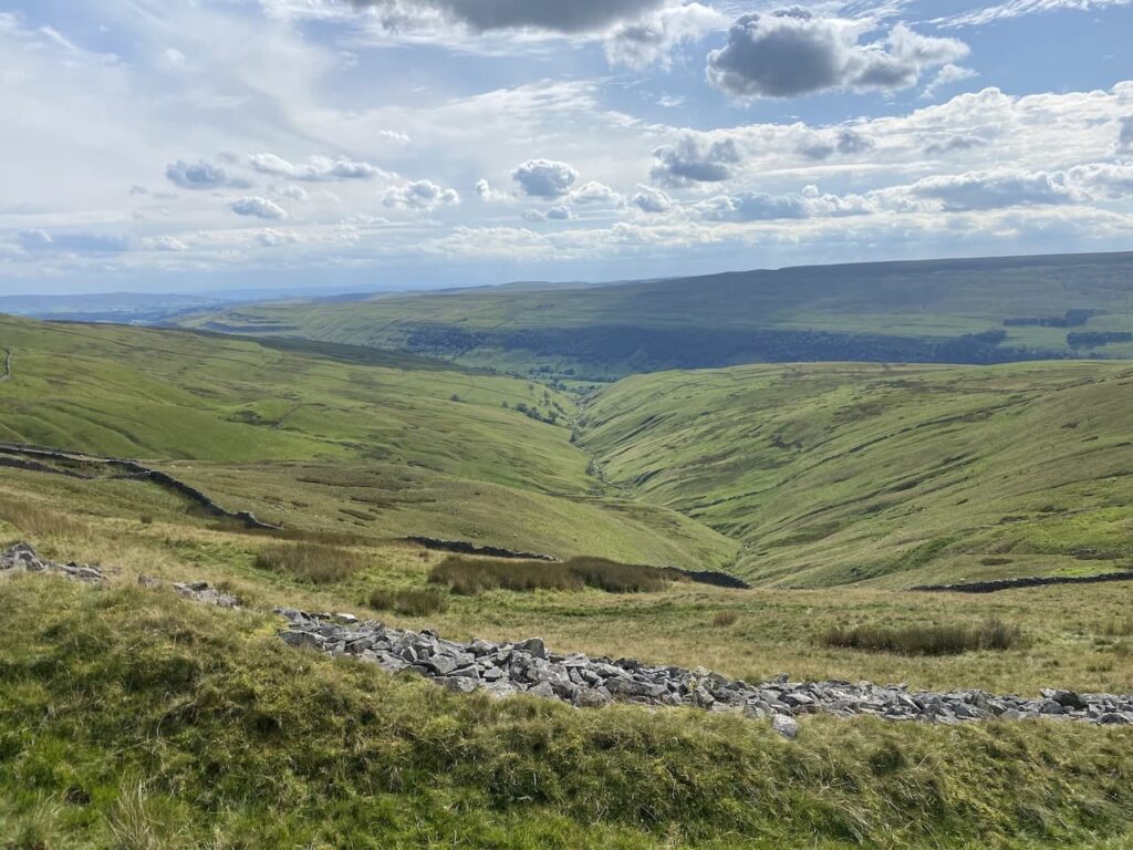
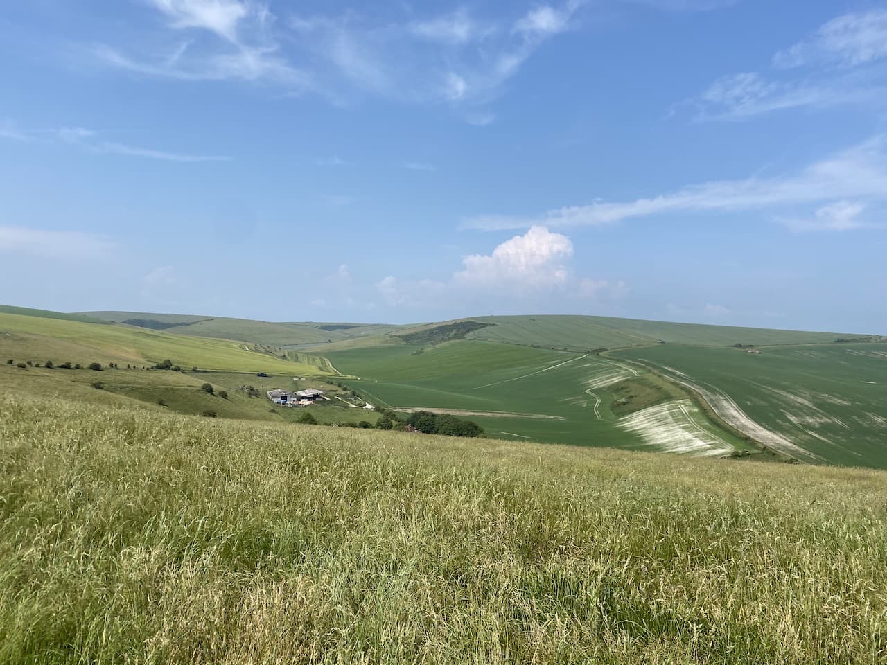
    The outlook from this hill across the Stour Valley is stunning.

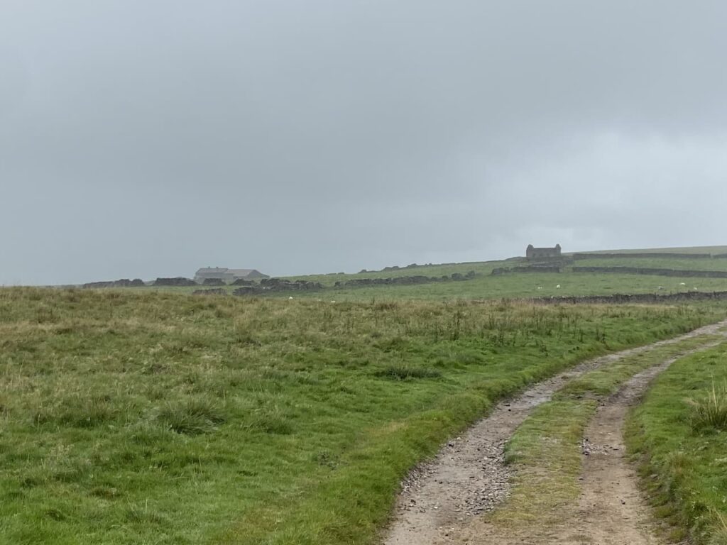
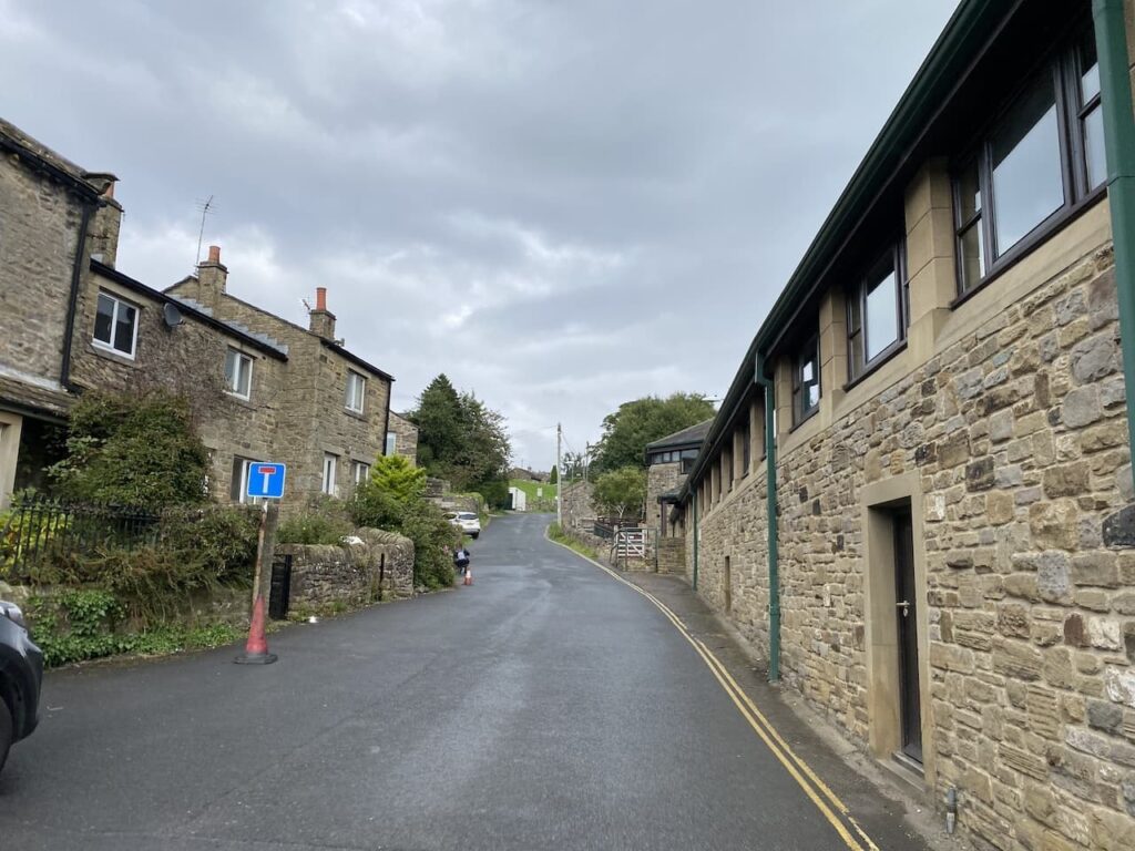
    On the far side of the fort we descend steadily to a gate leading to a hedge-lined path going into Child Okeford.  At a minor road we turn left and head into the village passing the Baker Arms.

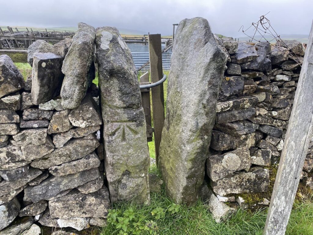
    Just before the village shop we turn right into Haywards Lane and stay with this until we reach a footpath on the right which is opposite the entrance to a close called Jacobs Ladder.  We go right and head through a kissing gate on the route of the Stour Valley Way and the St Edward’s Way.

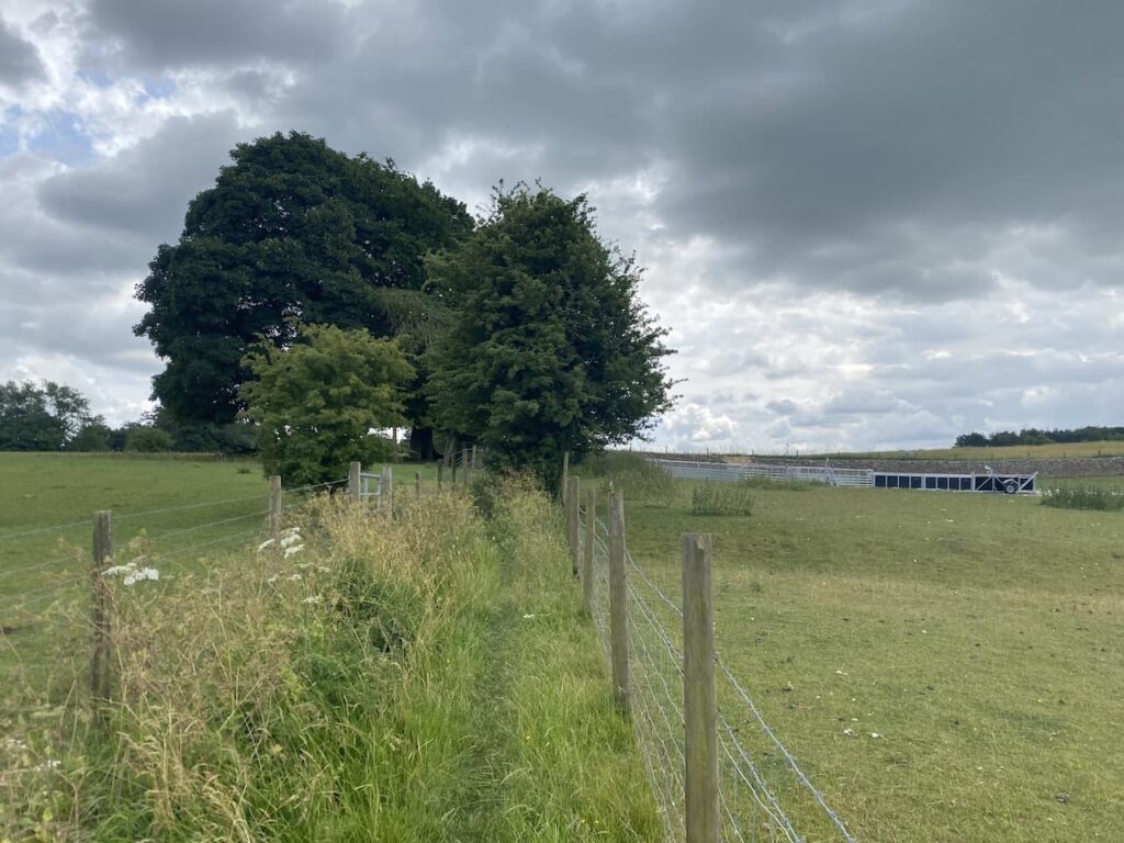
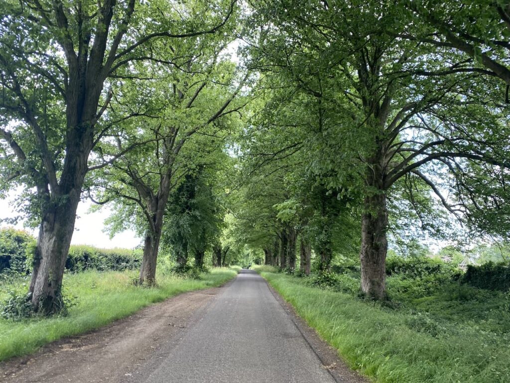
    The St Edward’s Way is a 30 mile long distance path which goes between the west door of St Mary’s Church in Wareham to Abbey Museum in Shaftesbury.  This is the route that the body of the boy King, St Edward was taken in AD979 when it was moved from Wareham to Shaftesbury.  The section we are now following is a fence lined path by an avenue of trees.

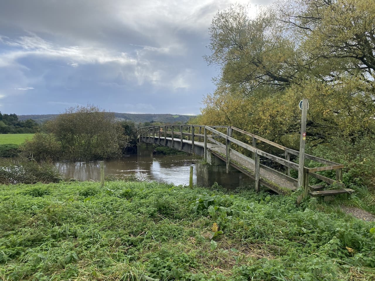
    After going through a gate we continue across a field and then go through another gate to enter access land close to the river.  

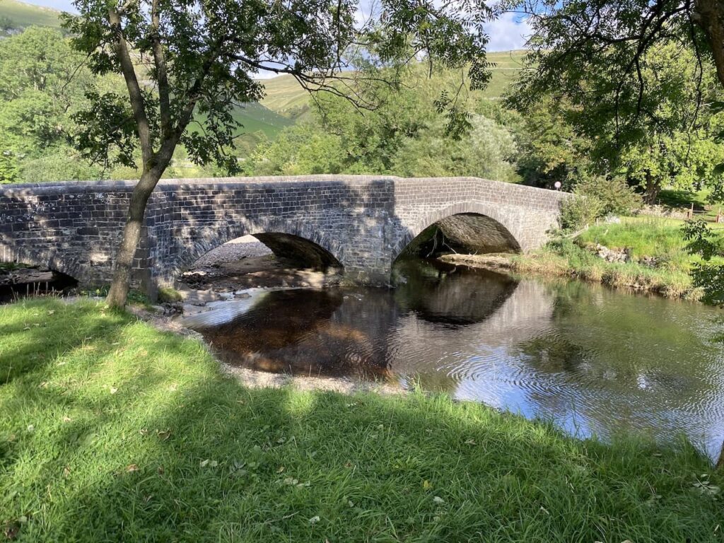
    Our route across the field is blocked by flood water but we work a way around it to reach a footbridge over the River Stour.

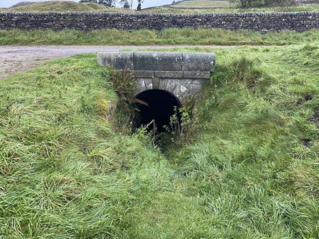
    The route is now a fence lined track which has flood water across parts of it, but once again we are able to negotiate a way around without getting wet feet.  The path now reaches an interesting bridge made out of old railway lines filled with concrete which span a stream.

    From here we cross a field at Bere Marsh Farm and return to our starting point.  We have covered an interesting 12.5 miles and apart from one heavy shower have managed to avoid the rain.  As always, walking in Nigel’s company has been an enjoyable experience.  Before departing we make plans for our next walk in a few weeks’ time.

    You can view this 12.5 mile walk on OS Maps and download the GPX File Here

    To follow our walk you will need Ordnance Survey OS Explorer – 129 – Yeovil & Sherborne; OS Explorer – 117 – Cerne Abbas & Bere Regis; and OS Explorer – 118 – Shaftesbury & Cranborne

    27th October 2023

    © Two Dogs and an Awning (2023)

    All information on this site is provided free of charge and in good faith and no liability is accepted in respect of damage, loss or injury which might result from it.  To the best of my knowledge the routes are entirely on public rights of way or within areas that are open for public access.
    Walking can be hazardous and is done entirely at your own risk.  It is your responsibility to check your route and navigate using a map and compass.

  • On Horton Moor

    On Horton Moor

    The hot weather has settled in so we have planned another shortish walk today to ensure Crosby is fine.  Yesterday afternoon we tried again to walk to Winskill but after a couple of miles he started limping so we abandoned our walk.  However, earlier today on his morning walk he was absolutely fine.

    The starting point for today’s walk is Horton in Ribblesdale.  Being a Monday it is relatively quiet in the village and we start our walk by heading through the village to pass the now closed Pen-y-Ghent cafe.  At a finger post for the Pennine Way we cross the road and follow a lane passing properties.

    At a junction of tracks we turn to the left and follow the track as it gradually goes uphill.

    It is a stunning day and this is a cracking path to be walking along.  Away to our right Pen-y-Ghent dominates the view.

    The track leads us towards the limestone outcrop at Stot Rakes.

    Over the wall is Tarn Bar.  In the past we have been here during a wet spell and have seen a waterfall flowing here.

    After going through a gate at a junction of tracks we go straight on along a grassy footpath toward Foxup.

    We have visited Hull Pot on numerous occasions but I never ceased to be amazed by how this huge pot hole suddenly appears. One minute it looks like you are walking along a grassy path leading into the distance and then only a few metres away there is a large chasm in front of you.

    There is a trickle of water running into the pot hole, not from the dry river bed above but half way down.  We decide to follow the route of Hull Pot Beck to find a spot for lunch.  

    Initially the river bed is dry and after a couple of hundred metres we reach a point where there is water flowing before it disappears underground.

    This is a very pleasant spot to sit for lunch.  It gives Crosby a chance to stand in the beck and cool off a bit while we admire the view.

    Resuming our walk we continue heading alongside the beck and at a junction of paths turn to the left to head steadily uphill onto Todber Moss.

    The path now heads across moor land.  A number of years ago we headed up onto this moor after a prolonged wet spell and it was extremely boggy.  In those days my navigation skills were not as good as they are now and visibility was not great so we made the sensible decision to turn around and head back to the beck.  

    The ground conditions are good today, and there is a clear path across the moor.  However, I still use the map and compass to check we are heading in the right direction.

    We go through a gate across a stream before continuing over Red Moss.

    The path leads us to a junction of paths with the Pennine Way and Yorkshire Three Peaks route.  Here we turn left along the track which forms the Pennine Way and the Three Peaks route.  

    Usually on this section of path you would expect to meet walkers heading in the opposite direction walking the Three Peaks but today with he have it to ourselves.

    We reach the point where the Three Peaks path goes to the left.  Here we go through a gate still on the route of the Pennine Way and follow the track towards another gate at Sell Gill.

    The dry conditions mean there is only a small amount of water in Sell Gill Beck.

    The route is now very straightforward we are staying on this track back to Horton in Ribblesdale.  We are in no rush so take time to admire the views.

    Soon we see the village in front of us as we descend the final section of the track.  

    After passing the Crown Inn we cross the River Ribble and return to our starting point.

    You can view this 6 mile walk on OS Maps and download the GPX File Here

    To follow our walk you will need Ordnance Survey Outdoor Explorer – OL2 Yorkshire Dales Southern and Western Areas

    4th  September 2023

    © Two Dogs and an Awning (2023)

    All information on this site is provided free of charge and in good faith and no liability is accepted in respect of damage, loss or injury which might result from it.  To the best of my knowledge the routes are entirely on public rights of way or within areas that are open for public access.
    Walking can be hazardous and is done entirely at your own risk.  It is your responsibility to check your route and navigate using a map and compass.

  • Langcliffe via Stackhouse

    Langcliffe via Stackhouse

    Following yesterday’s unsettled weather today’s forecast is for a warm, sunny day so we decide not to wander too far.  Crosby is not so keen on long walks in hot weather these days. We have a route in mind which will visit Winskill, but we have an option to shorten it if Crosby is struggling.

    Leaving Brigholme Farm CL we turn right and follow Station Road towards Penny Bridge.  Before reaching the bridge we turn left into Sandholme Close and soon join the Dales Way as it heads besides the River Ribble on a tarmac path.  We soon reach the Giggleswick Memorial Bridge with the converted Kings Mill on the far side of the river.  Kings Mill was an old cotton mill built around 1830 by John Proctor. 

    Instead of crossing the bridge we continue along the path with the river to our right.  On reaching Settle Bridge we still keep the river to our right and cross the road to take the footpath which runs beside Settle United AFC’s football ground.  There is a match in progress so we watch as we slowly pass the side of the pitch.  Formed in 1884, Settle United AFC until recently played in the Craven Premier League which they won on a number of occasions.  They now play in the East Lancashire League and their website claims they are highly successful at this level.  However, today they look set for a defeat.  

    After passing the school playing field we go through a wall gate and enter a pasture field following the Dales Way towards Stackhouse Lane.

    After going through a couple of fields we reach the lane and turn right and walk along the road to reach Stackhouse Farm.  Since we were here last year a new Caravan and Motorhome Club CL site has opened at Stackhouse Farm.

    We take a footpath on the right just before Stackhouse Farm, this goes through a gate and follows a walled path towards the River Ribble.

    At the river the Dales Way goes to the left, but we take the path leading over a bridge and past a weir.

    On the far side of the river we turn right and walk through cottages on either side and then take a path besides the final cottage on the left.  This leads to a gate which we go through to walk beside the Mill Pond of Langcliffe Mill.

    The High Mill at Langcliffe was built in 1780 and was one of Yorkshire’s earliest and largest cotton-spinning mills.  It is still in use today as a paper mill.

    We follow the path around the side of the mill to reach the entrance driveway to Langcliffe Park Caravan site.  Crossing the driveway we take a walled footpath leading to a footbridge over the Settle to Carlisle railway line.

    The footpath leads us to the B6479 which we cross with care and walk into Langcliffe where we stop at the War Memorial to get a drink for Crosby.  We decide it is too hot to head towards Winskill so instead opt for the shorter route back towards Settle.

    Continuing through the village we pass the Church and former school and continue uphill on the road.  Just as the road bends to the left we take a footpath in front of us which goes through a gate and then heads steeply up through a pasture field.

    The path turns to head south through fields passing under the limestone outcrop of Blua Crags with views towards Settle to our right.

    We keep the drystone wall to our right going through a couple of gates to join a track heading steadily downhill into Settle.

    In Settle we head down to the Market Square.

    We then make our way back through Settle to the caravan at Brigholme Farm.  In has been a pleasant wander on a warm afternoon. 

    You can view this 5 mile walk on OS Maps and download the GPX File Here

    To follow our walk you will need Ordnance Survey Outdoor Explorer -OL2 Yorkshire Dales Southern and Western Areas

    2nd September 2023

    © Two Dogs and an Awning (2023)

    All information on this site is provided free of charge and in good faith and no liability is accepted in respect of damage, loss or injury which might result from it.  To the best of my knowledge the routes are entirely on public rights of way or within areas that are open for public access.
    Walking can be hazardous and is done entirely at your own risk.  It is your responsibility to check your route and navigate using a map and compass.

  • Grassington Lead Mines

    Grassington Lead Mines

    The weather forecast for today is not great and on our early morning walk Crosby was limping which is probably the after effects of jumping from ladder stiles yesterday.  Hopefully after a day’s rest he will be fine, but he an old dog and I don’t want to walk him too far. Today he is going to stay in the caravan with Lynnie whilst I head off in search of a couple of trig points.  

    The starting point for my walk is the old lead mines at Yarnbury, near Grassington.  There are a couple of small parking areas near Yarnbury House.  This house was built in 1826 by the Duke of Devonshire, the landowner in this area, for the Duke’s Mineral Agent.

    Leaving the car I head north east along a track, Old Moor Lane, and soon pass the entrance to an Incline Shaft.  This was built in 1828 and slopes to a depth of 37 metres where carts were loaded with lead and other minerals and hauled out by horses.  It might have been large enough for a horse but there is no way I would venture in there!

    Within a hundred yards I take a footpath on the left which leads  steadily uphill along a track with a drystone wall to my right.

    I stay on this track until I reach a gate on my right.  Here I am going to take a slight detour to head across the open access land to bag the Ordnance Survey Trig Pillar on New Pasture Edge. 

    Persistent showers of light drizzle keep rolling in, there are moments when I can see a reasonable distance and then the visibility reduces.  I am sure it is not going to close in, but I am glad that as usual I have a map and compass with me and have decided to use it to navigate today rather than relying on an App on my phone.

    I head back through the heather to the gate on a well-worn “trig bagger’s path” and on reaching the track turn right and continue between the drystone walls.  Before too long the track leaves the walls behind and is replaced by a fence on my right and open land to the left with Bare House and High Barn in the distance.

    Bare Hose, which apparently is known as “Barras” locally was occupied up until the 1960’s but now stands empty, however, it was re-roofed in 2001.  It would have been a bleak place to live as it is over a mile to another property and winters up here can be harsh.

    Ignoring a footpath off to the left at High Barn I continue along the track until I reach a gate.  Here there is a choice of footpaths either through the wooden gate across the track or through a small gap in the wall with a distinctive Ordnance Survey Benchmark carved into the stone.

    My route is through the wooden gate and along the track.

    The track leads to another gate onto an area of pasture.

    The path crosses open land and although there is a faint path in the grass it is definitely a place where you would be grateful for a map and compass in poor weather.

    After crossing a ladder stile I continue on to a junction of paths where I turn left and then go through a gate and go diagonally downhill through a field to Kelber Gate.  Here I join a lane, Bycliffe Road.

    Where the lane turns to the left I continue straight on, a fingerpost points towards Capplestone Gate.  

    This is a grassy path across fields and then turns to the right to go by the edge of a fir copse before continuing uphill towards a scar on a route marked on the map as Conistone Turf Road.

    This a long steady ascent and soon in the distance I spot the Conistone Moor Ordnance Survey Trig Pillar at Capplestone Gate.

    It is a warm afternoon and I am grateful for the breeze as I reach the trig pillar.  It is the 400th I’ve bagged and it is a stunning one with which to reach that milestone.

    There are wonderful views so I stop for a celebratory cup of tea and spot of lunch before continuing on my way.  The route takes me through a gate and I take a well-worn path that initially stays close to the wall and then goes near the edge of the scar.

    This route takes me through a disused mine at Benfoot Brow, the map shows this whole area littered with disused mine shafts and the evidence of mining is still very apparent.

    I stay on the edge of the scar and pass through an area of stone boulders and continue on to reach a gate.

    Going through the gate I very quickly reach a ladder stile on the left which I go over and then descend on a track through the scar with fine views over Upper Wharfedale.

    The grassy track heads in a westerly direction gradually descending through fields of rough pasture to reach a gate.

    After going through the gate I continue on the track which is now heading towards woodland.  

    At a junction of paths on the edge of the woods I turn left to join the Dales Way heading towards Grassington.

    This is a well-used grassy path and easy to follow as I head south.  Out to my right there are fine views across the River Wharfe.

    Despite the popularity of the Dales Way there are only a couple of people walking this section and I hardly see a soul as I pass through fields.

    Soon I pass the limestone outcrop known as Conistone Pie.  It is pretty obvious how it came by such a name.

    This is a cracking bit of countryside with interesting scars and I go straight on staying with the Dales Way at a crossing of paths at Conistone Dib.  This is a dry gorge, probably created from glacial meltwaters it is an impressive view from above the gorge.

    Since joining the Dales Way I have noticed the pasture land has been much improved and have been looking out for a Lime Kiln.  These were used to burn the limestone to create lime which was then spread on the fields to improve the pasture. I spot a kiln by the side of the path, a notice board indicates it was built around 1840.

    I head through Old Pasture and can see rain on the horizon in the distance.  Since the drizzle at the start of the walk it has been dry and I was hoping to get around without having to put my waterproofs back on.

    Nearing Grassington I go through an area of rough pasture at Lea Green with limestone outcrops and small sections of limestone pavement.

    Just outside the village I pass through a couple of fields of dairy cows and my route takes me around large dairy barns to join a lane into Grassington.

    In the village I turn left at the Town Hall and walk up the hill on Moor Lane.

    After a steady ascent up the hill the road levels and it is now a long straight walk back to the car park at Yarnbury.

    Before heading off I take a quick look around part of the Grassington Lead Mines.  An information board explains the history of the mine dating back to when mining started here in 1604.  The most prosperous period for the mines was between 1821 and 1861 when on average 965 tons of lead were produced each year.  During that period about 170 men worked in the mines.  Mining stopped in 1880 and the site has remained derelict ever since.  

    There is an interesting trail laid out around the old mines with seventeen further information boards highlighting the relevance of each location.  I take a short stroll to look at a couple but decide it is somewhere to revisit when I have more time to have a good look around.

    You can view this 11.5 mile walk on OS Maps and download the GPX File Here

    To follow our walk you will need Ordnance Survey Outdoor Explorer – OL2 Yorkshire Dales Southern and Western Areas

    1st September 2023

    © Two Dogs and an Awning (2023)

    All information on this site is provided free of charge and in good faith and no liability is accepted in respect of damage, loss or injury which might result from it.  To the best of my knowledge the routes are entirely on public rights of way or within areas that are open for public access.
    Walking can be hazardous and is done entirely at your own risk.  It is your responsibility to check your route and navigate using a map and compass.

  • Buckden Pike Memorial

    Buckden Pike Memorial

    Last year whilst staying at Brigholme Farm CL I went on a lengthy trig bagging route in Upper Wharfedale.  It was a challenging route and one I would definitely not take Lynnie and Crosby on.  However, the early part of the route visited the Buckden Lead Mine and that is definitely somewhere worth taking Lynnie.

    The starting point for our walk is in Buckden opposite the Buck Inn. It’s a bit of a drive from Giggleswick but there is cracking scenery to take in on the journey.  Lacing up our boots on a sunny day it is tempting just to walk across the car park and enjoy a pint before we set off.  But I am not one for drinking in the day time so we head off on the lane to the left of the pub.

    After passing cottages we follow the path to reach Buckden Beck where we turn right on a route marked by a fingerpost to Buckden Lead Mine and Starbotton.

    The route is easy to follow as it makes a long gradual ascent up East Side.  There are cracking views back over the village behind us.

    Nearing a wall the path turns northwards, still going up, to reach a junction of paths.  Here we continue heading north on the route towards the lead mine.  There is evidence of cattle about but we don’t encounter them until we reach a stile over a wall and they are not  at all bothered by us.

    We follow the clear path and are soon at Buckden Gavel Lead Mine.  Mining started here in the 1690’s but on a larger scale in 1804 when the tunnel shaft into Buckden Ghyll was created.  Work continued here until 1877 by which time the lead was becoming more difficult to extract and its value was decreasing because of a fall in world lead prices.

    In 1964 a group of students from Birmingham University were exploring the mine network under Buckden Pike when they discovered the remains of a body.  Investigations were unable to identify him, but he had a card from a funeral in Settle in his pocket from May 1890 and some coins dating from the 1880’s so had been there a longtime.  His identity remains a mystery, as does how he came to die in the mine, but he has become known as Buckden Bill.

    I am not tempted to enter the mine, I have read that it is very unsafe and it is easy to get into difficulty.  Instead we decide this is a good place to stop for our lunch and enjoy the view down Buckden Ghyll.

    Continuing our walk we go through a wall and follow a path on the north side of Buckden Ghyll this heads uphill in a north easterly direction to join a paved path.  Here we cross the wall stile so that we can visit the Buckden Pike Ordnance Survey Trig Pillar.  I’ve bagged this trig before but it is the first time Lynnie and Crosby have been up here.

    Irritatingly we have to go back over the ladder stile to continue our walk.  It’s not a problem for Lynnie or I, but Crosby is becoming an old boy and jumping down from the top of these stiles plays havoc with his joints and he won’t let me lift him off.

    We now follow the paved path with the wall to our left as we walk along the top of the hill.

    On reaching a wall stile on our left we cross, again this is difficult for Crosby.  We stop to look at the Buckden Memorial.  The story behind this memorial is amazing.  On 30th January 1940 a Wellington Bomber with six Polish Aircrew took off from RAF Bramcote in Warwickshire on a training mission.  They were hit by a sudden snow storm and the crew lost their bearings and travelled over Skipton and headed into the Yorkshire Dales.

    In the total white out they couldn’t see a thing and clipped a six foot dry stone wall on Buckden Pike and the plane crashed.  There were two survivors, the rear gunner, Joe Fusniak, and the wireless operator Sergeant Jan Sadowski, unfortunately Jan was seriously injured.  Joe decided to go in search of help.  He had no map or any idea of where he should go but soon came across the tracks of a fox and decided to follow that in the hope it would lead to human habitation.  His hunch was correct and it led him to the White Lion at Cray where the landlord’s daughter, Nannie Parker, spotted him.

    He was provided with warmth by the Parker family and eventually convinced the landlord he was not a German.  The weather was so bad that a search party for the survivor could not be launched until the following day and sadly when located he had passed away.

    After the war Joe continued to visit the site of the crash and in 1974 decided to erect a memorial to his flight companions who lost their lives in the crash.  He was granted permission to erect the cross and he personally installed it with the help of a few others.  It includes in the base a bronze fox head in recognition of the animal that saved Joe’s life.

    From the memorial we continue, in slightly reflective mood, on a path heading in a southerly direction with a drystone wall to our right.  It is a cracking day, but this spot is miles from anywhere if Joe had not followed the fox tracks he could easily have wandered off into the depths of the moor.

    At a junction of paths we turn right and soon start to descend with stunning views in front of us.

    We are now heading towards Starbotton and the scenery is absolutely cracking.

    After going through a wooden gate we join a track that continues downhill towards the village.

    In Starbotton we head through the village and then join a footpath heading towards the River Wharf, this has a fingerpost pointing to Arncliffe, Kettlewell and Buckden.

    On reaching the River we cross on a sturdy bridge and then turn right to follow a path with the river on our righthand side.  

    We are now on the route of the Dales Way, this is an eighty mile route from Ilkley in West Yorkshire to Bowness-on-Windermere in Cumbria.  I have walked a few sections of this long distance path and keep thinking it is possibly a walk that Lynnie and I could do at some point in the future.

    The route is now very easy to follow.  There are regular Dales Way way-markers as we walk through fields.

    The path leaves the river for a while to follow a walled path and then passes through open pasture before rejoining the river bank as we approach Buckden.

    Near Buckden we reach Buckden Bridge which is thought to have been built in 1709 with some rebuilding in the 19th century.

    At a minor road we turn right and cross the bridge and head back into Buckden and pass the village shop on the green on the way back to our starting point.

    Our walk has been absolutely stunning.  It has been a cracking day for walking and whilst we have only covered 8.5 miles we have taken our time.  There has been plenty to see and we have done over 2,300 feet of ascent.

    You can view this 8.5 mile walk on OS Maps and download the GPX File Here

    To follow our walk you will need Ordnance Survey Outdoor Explorer OL2 – Yorkshire Dales – Western Area

    31st August 2023

    © Two Dogs and an Awning (2023)

    All information on this site is provided free of charge and in good faith and no liability is accepted in respect of damage, loss or injury which might result from it.  To the best of my knowledge the routes are entirely on public rights of way or within areas that are open for public access.
    Walking can be hazardous and is done entirely at your own risk.  It is your responsibility to check your route and navigate using a map and compass.

  • Exploring Around Avening

    Exploring Around Avening

    Last year whilst staying at Burnt Ash Farm CL I headed out on a circular walk which took me through Avening.  When I later looked at the map I realised a short diversion from the route would have bagged an Ordnance Survey trig pillar.  So today we are going to do a variation of the walk but this time seeking out the trig.

    We leave the caravan site by the footpath which runs beside the ménage and then heads across paddocks to a stile which we go over and then cross the road to another stile into a field.

    We soon reach another stile which is built into a gate.  This is a strange feature, I can’t recall encountering any stiles like this elsewhere in the country and we have gone over two in the last two days.

    The path now follows the edge of the field heading towards Peaches Farm.  At the farm we turn right and follow a track past a stable and into a field.

    We reach Lower Peaches Farm and then turn left along a track heading east.

    It is a cracking day and as we walk along the track the sky is full of small planes launching gliders into the sky from the nearby Cotswold Gliding Club on Aston Down Airfield.  This airfield originally opened as RAF Minchinhampton during the first World War and was used by the Australian Air Corps.  After the war it closed but reopened in 1938 with the new name of Aston Down RAF apparently after lobbying from the residents of Minchinhampton who feared if the town was connected to the airfield it would reduce house prices.

    In 1967 the Cotswold Glider Club took over the airfield and in 2002 sections of land and the hangers were sold by the MOD for developers to create industrial units.

    At a junction of tracks we turn right and head south along a broad grassy track.  Overhead the planes and gliders continue to take to the sky.  I’m not keen on flying and there is no way I could be persuaded to get into a glider!

    Ignoring a footpath on the right we stay on the track to reach a minor road and follow this downhill through a valley.

    At a road junction on the edge of Cherington we turn right and head towards Nag’s Head.  We are now going to follow the Macmillan Way for a few miles.

    Initially the route follows the lane and then at the bottom of the hill we turn left onto a footpath into trees which soon has us walking besides Cherington Pond.

    This pond was dug in 1740 as an addition to the Cherington Park deer park which was created in 1730.  It is a tranquil spot and we enjoy a few minutes watching the wildlife around the pond.

    Continuing our walk we reach a minor road and turn right and follow this lane to reach Nag’s Head.  This is one of those villages which is named after the village pub.  Unfortunately the Nag’s Head pub closed in the early 1970’s but the pub building is easily identified as we head into the village.

    We go through the village and continue along the lane towards Avening and as we go along I think how lucky we are that villages are no longer named after pubs, who would want to live in Slug & Lettuce for example.  

    However, modern developments do have a tendency to be misleading, why name a housing development which has gobbled up acres of farmland after the farm it has replaced, or name a street on a new development Orchard View, when all you can see is houses that once stood on an orchard!

    At a road junction we turn left and follow the pavement into Avening.  Opposite the Queen Matilda Pub, which still has its old name the Cross Inn painted on the side, is the William Fowles Memorial.  It carries the inscription “William Fowles 1835-1896. This to his memory by those amongst whom he lived and who knew his worth”

    Later I set about researching what William had done to deserve this lasting legacy.  An edition of the local parish council newsletter in 2015 contains a detailed account of his life.  He was the second in a family of nine children.  The 1851 census shows him as a 15 year old working for his father as a baker.  Ten years later the census shows him as a master baker and Poor Rate collector.  In 1863 he became the Parish Clerk, a position he held until his death at the age of 61.  

    It is reported he died of blood poisoning as a result of wearing coloured socks on feet that had sores.  At the time of his death he owned twenty-three cottages locally, so he was obviously a successful business man.

    We continue into the village along the High Street and then fork left by the telephone box into Point Road which goes into Farm Hill where we soon turn left onto a footpath which is still part of the Macmillan Way.

    After an initial uphill section the path levels out and crosses fields heading towards the B4014.

    At the road we turn right and follow it for a short while and then take a footpath on the right which takes us back into fields.  At this point we realise that although the footpath does follow the road, the field margin has been left and used by walkers so there was no need for us to have walked along the section of busy road.  

    Now our route, which is still following the Macmillan Way, heads diagonally across fields towards a minor road which we cross and continue across further fields to reach another minor road close to the entrance to Chavenage House.

    We now leave the Macmillan Way and turn right along the road and walk through a fine avenue of trees.

    At a fork in the road we go right and then just before reaching Ledgemoor Road Cottages we fork right again onto a track.  Besides this track is a notice warning people about shooting across the land.  It infers that people proceeding along a public right of way do so at their own risk of being shot.  

    Perhaps the landowner or person who erected the sign should read the British Associations of Shooting and Conservations guidance on shoots over public rights of way. This states “If a member of public is using a public right of way that crosses or is in the vicinity of your shoot or drive, the member of public has the right to pass and re-pass along the right of way without hindrance. Therefore any shooting should be refrained from until they are at a distance where your activity should not cause any concern. This is particularly important if a bridleway is in use as a horse rider could be endangered by a startled horse. If a member of public approaches a path/bridleway a method for ceasing to shoot should be in place.”

    We head along the broad track without fear of being shot, but if we were not confident about walking in the countryside we might have been slightly cautious even though the dates on the notice have long passed.

    It is pleasant walking along this track and we soon pass Orange Grove Barn away to our right.  Although we cannot see it from here there is apparently a private airstrip located beside this barn.

    The track now descends into Ledgemore Bottom and then quickly rises again through Ledgemore Wood before proceeding between fields.  After passing a couple of fields I make a slight diversion from the path to wander along the field margin to bag the Ordnance Survey trig pillar at Barton End, this is the 389th trig I have bagged.

    Back on the track we continue to head north and soon reach a junction of tracks here. We turn right onto Shiptons Grave Lane.  Apparently the lane is named after a local man whose grave lies at the crossroads of Tetbury Lane. It is reported he was executed for stealing sheep to provide for a starving family.

    There is no obvious sign of where such a grave might be located and a quick search on the Internet provides no clues, so we head along the lane wondering if it is a rural myth or is there a sheep rustler buried hereabouts.

    At the next crossing of paths we continue straight on with woodland to our right and then quickly reach another crossing of paths.  Once again we go straight ahead, this time on a fenced path leading to Hazel Wood.

    At a junction of paths on the edge of Hazel Wood we pass an information board and take the path in front of us leading downhill through the trees.

    I walked through this area of woodland last year and noticed the number of trees suffering from Ash dieback.  Since my last visit there has been a lot of forestry work to fell the diseased trees.

    Following the path downhill we reach the B4014 road where we turn left to pass the Weighbridge Inn.  Apparently parts of this pub date back to the 17th century, at that time the path we have just taken was a packhorse trail between Bristol and London. Then in the 1820’s the road we are on became a turnpike and the innkeeper ran both the pub and the weighbridge for the local woollen mills.

    The Weighbridge Inn’s website also boasts about it being the home of ‘the famous 2 in 1 pies’, one half containing a filling of your choice and topped with pastry, the other half home-made cauliflower cheese.  It sounds the sort of pie Lynnie and I would both enjoy.

    Turning right at a road junction by the pub we cross a bridge and then go uphill. Soon we go through a gate besides a cattle grid and keep heading up towards Ball’s Green.  Just before reaching the sign for the village we turn left up a driveway with a fingerpost for a public footpath to Box.

    The path follows the driveway and then goes besides a property to emerge as a walled path.

    After going through a kissing gate the path becomes a track again and leads us to Box Lane.  Here we turn right and follow this quiet lane into Minchinhampton.  At a junction we turn right onto Common Road and then head into the centre of town.

    After passing the Fish and Chip Shop and the Butchers we turn left into the High Street and wander past the recently refurbished Crown Inn and the fine old Market House.  Like many Cotswold towns Minchinhampton was built up around the wool market and the Market House with cattle barriers in the lower part would have been at the hub of the community.

    From the Market House we join Butt Street and head uphill away from the centre of town.  At a cattle grid with white gates beside it we turn right into Summerfield Road and walk through houses to reach another cattle grid where we turn right to rejoin the lane heading to the old common.

    We go over the stile built into the metal gate and cross the field to go over a stone stile into a field and then head back to the caravan site.  It has been an interesting walk full of local history

    You can view this 12.5 mile walk on OS Maps and download the GPX File Here

    To follow our walk you will need Ordnance Survey Outdoor Explorer – 168 Stroud, Tetbury & Malmesbury

    21st June 2023

    © Two Dogs and an Awning (2023)

    All information on this site is provided free of charge and in good faith and no liability is accepted in respect of damage, loss or injury which might result from it.  To the best of my knowledge the routes are entirely on public rights of way or within areas that are open for public access.
    Walking can be hazardous and is done entirely at your own risk.  It is your responsibility to check your route and navigate using a map and compass.

  • Ice Cream on the Common

    Ice Cream on the Common

    It is another warm day with bright sunshine, so as far as Lynnie is concerned it is definitely a day for an ice cream.  Then again with Winstone’s Ice Cream parlour nearby Lynnie would describe most days as an ice cream day.

    Last summer we did a walk around a section of Rodborough Common, today’s walk is a slightly shorter version of that walk.  In this very warm weather we are avoiding walking up too many hills.

    We leave the caravan site by the footpath alongside the ménage and then head across paddocks to join another footpath close to the road.  Here we stay in the field and turn right to walk along the edge of the field with the wall on the left.  

    We cross a stone stile and continue into another field keeping the wall to our left hand side.  

    After crossing another stone stile the footpath forks.  We take the right fork to head through a meadow towards a gate.  Going over a stile on the gate we join a track and turn left.  

    The track soon opens out onto a small common and leads to a residential lane.  We stay with the lane to reach the Cirencester Road where we turn left and then quickly reach a crossroads and Minchinhampton Common.  We cross the road and head onto the Common.

    There are a patchwork of paths on the common, we keep to one running parallel to the main road and then cross a minor road leading into Minchinhampton and continue along the Bulwarks, this is an Iron Age earthworks sweeping around part of the common.

    After a couple of hundred yards we reach the main road and cross.  On the far side there is a minor road, we fork left away from this on a grassy path across the common heading towards the edge of Burleigh and soon pass a green on the Minchinhampton Golf Course.

    The path reaches a minor road and we cross and continue in the same direction over another area of the common.  As we near a cottage on the common we take a path on the right leading to a track which we follow to a minor road.

    At the road we turn left and follow this lane as it passes properties in Bownham.  To our right there are fine views across the Golden Valley.

    We stay with this lane until we reach Winstone’s Ice Cream Parlour.  Lynnie is a bit of connoisseur when it comes to ice creams and I know from our visit to this area last year she rates Winstone’s highly.

    According to their website this is a family business started in 1925 by Albert Winstone after he had been made redundant from his job in Stroud as a French polisher.  Initially selling ice creams the business grew and nearly 100 years later the 4th generation of the family continue the business.

    This is a popular spot and there are a constant stream of cars pulling up and folk descending on the parlour from all directions.  I have learnt over the years that Lynnie has to savour an ice cream, so we sit on the grass and enjoy the sunshine.

    Resuming our walk we head uphill to cross a road and then continue on the clear path heading in a northerly direction to reach a milestone beside the main Stroud to Cirencester road.

    We cross the road here and  follow a path which goes close to the wall of properties in a private housing estate on Rodborough Common.

    As we follow the wall around the estate we are treated to some far reaching views.

    On our trip to this area last year we walked up the hill from Rodborough Manor, it was a short steep ascent which still lives in the memory.  Today looking down towards Woodchester the gradient on the hill makes us realise why we struggled so much. 

    There are paths leading downhill but we stick with the one close to the wall.  It is a well-worn route popular with dog walkers and folk wandering out to take in the view.

    As we near the road we head towards the Bear of Rodborough Hotel.  Apparently this was built in the 17th century as a coaching inn and has been a popular watering hole for travellers ever since.

    We pass the hotel and follow the pavement for a short section until we reach the common once again where we veer to the right and follow a grassy path towards Amberley.

     After passing the War Memorial we cross the road and continue on another section of the common through part of Minchinhampton Golf Club.  The route now heads towards the golf course clubhouse.

    Minchinhampton Golf Club has three courses, two of which are near the village of Avening, but this is the original course, known as the “Old Course”.  This course was established in 1889 and although we have seen a few golfers about it is clearly not the most popular of the club’s courses.

    After passing the clubhouse we continue heading south beside more golf holes heading to the Halfway Cafe.  This cafe is a former pub which, despite a campaign by locals was closed in 2013 and allowed to re-open as a cafe. 

    We cross the road and then turn left to follow the Bulwarks earthworks heading north parallel to a road.

    After crossing a minor road we continue on to the point on the Bulwarks where we had turned towards Burleigh earlier in our walk.  From here it is a case of retracing our steps across the common.  Along the way we pass a large herd of cows who have settled to chew the cud.

    After crossing the road and following the lane to the small common we choose not to cross the gate with the stile, but instead stay with the track until we reach the Cirencester Road where we turn right and follow the wide verge to Burnt Ash Farm.

    You can view this 8 mile walk on OS Maps and download the GPX File Here

    To follow our walk you will need Ordnance Survey Outdoor Explorer – 168 Stroud, Tetbury & Malmesbury

    20th June 2023

    © Two Dogs and an Awning (2023)

    All information on this site is provided free of charge and in good faith and no liability is accepted in respect of damage, loss or injury which might result from it.  To the best of my knowledge the routes are entirely on public rights of way or within areas that are open for public access.
    Walking can be hazardous and is done entirely at your own risk.  It is your responsibility to check your route and navigate using a map and compass.

  • Returning to Burnt Ash Farm CL

    Returning to Burnt Ash Farm CL

    Last year we spent an enjoyable week at Burnt Ash Farm CL on the outskirts of Minchinhampton exploring areas of the Cotswolds we had not previously visited.  There was plenty of good walking and an added bonus for Lynnie was the opportunity to visit Winston’s Ice Cream Parlour on the edge of Rodborough Common.  So when looking for a convenient spot for a week away at short notice it ticked all the boxes.

    We are dogless this trip, Crosby is staying at home with our son who is back for a couple of months.  It feels very odd to be packing the car and not including Crosby, this will be our first trip away without a dog since we started caravanning.

    On arrival we quickly get pitched up and are soon out for a short walk to stretch our legs after the journey.  We leave the caravan site by the footpath running beside the ménage and then heading across paddocks to join another footpath close to the road.  Here we stay in the field and turn right to walk along the edge of the field with a wall on the left.  

    After crossing a stone stile we continue into another field and keep walking with the wall to our left.  After crossing another stone stile the footpath forks.  

    We take the right fork to head through a meadow towards a gate.  Crossing a stile on the gate we join a track and turn left.  The track soon opens out onto a small common which leads to a residential lane.  We stay with the lane to reach the Cirencester Road where we turn left and then quickly reach a crossroads and Minchinhampton Common.

    We cross the road and head onto Minchinhampton Common.

    This is only a small part of the common which covers 580 acres of open access land which is grazed by cattle and has a couple of golf courses crossing it.  Our route heads west with old earthworks and the road running parallel on our right.

    On reaching a minor road, Dr Brown’s Road, we turn left to leave the common and walk into Minchinhampton.  At a T-junction in the town we turn left to walk along West End leading into the old part of the town.

    After passing the Fish and Chip Shop and the Butchers we turn left into the High Street and wander past the recently refurbished Crown Inn and the fine old Market House.  Like many Cotswold towns Minchinhampton was built up around the wool market and the Market House with cattle barriers in the lower part would have been at the hub of the community.

    From the Market House we join Butt Street and head uphill away from the centre of town.  At a cattle grid with white gates beside it we turn right into Summerfield Road and walk through houses to reach another cattle grid where we turn right to rejoin the lane heading back to the common.

    From the common we retrace our steps over the gate and through the meadows back to the caravan. 

    You can view this 3 mile walk on OS Maps and download the GPX File Here

    To follow our walk you will need Ordnance Survey Outdoor Explorer – 168 Stroud, Tetbury & Malmesbury

    19th June 2023

    © Two Dogs and an Awning (2023)

    All information on this site is provided free of charge and in good faith and no liability is accepted in respect of damage, loss or injury which might result from it.  To the best of my knowledge the routes are entirely on public rights of way or within areas that are open for public access.
    Walking can be hazardous and is done entirely at your own risk.  It is your responsibility to check your route and navigate using a map and compass.

  • Three Trigs from Brighton CAMC

    Three Trigs from Brighton CAMC

    Yesterday we spent a leisurely day and left it until midafternoon to take a wander along the promenade into Brighton.  Strolling along we encountered the Brighton Naked Bike Ride, apparently this is an annual event where cyclists discard their clothing and ride through the town to the seafront.  Why they should feel the need to do so is beyond me.  The naturist beach is fine, call me prudish but I think hundreds of people riding through a town starkers is inappropriate, and I imagine uncomfortable!

    Hopefully today appropriate clothing will be worn by everyone we meet.  The recent hot spell has resulted in a sea mist providing some respite from the sun.  We are walking from the caravan, departing the site it’s still very warm.

    We walk through East Brighton Park to reach the road and then turn left and continue on pavements, we cross the main A259 and follow the signpost down to join the Undercliff heading towards Saltdean.

    Soon we pass the edge of Brighton Marina.  Work began on building the marina in 1971 and still appears to be underway with construction going on at the western end.  Apparently there are 1,600 berths provided in the marina with some linked to waterfront houses.

    This part of our route is very straightforward, we will be staying with the under cliff walk all the way to Saltdean.  The path is shared with bikes, scooters and skateboards, many electric, so we need to be mindful of folk coming up behind us at pace.  Of course pedestrians have priority over folk on two wheels, but the speed that some pass us makes it hard to believe they have a duty of care toward walkers.

    It is not too long before we reach Rottingdean and the White Horse Inn.  We spent a very enjoyable evening there on Friday evening having a pre-wedding get together with friends.  The pub was very busy but for some reason there only ever seemed to be one person serving drinks at a time whilst the staff’s main preoccupation was chatting to each other and restocking the shelves with glasses.  

    We keep heading east along the under cliff walk.  The tide is out and the sea mist has kept people away from the seafront so it is very quiet as we walk along.

    On reaching Saltdean we pop into the White Cliff Cafe, this was the venue for Saturday’s wedding reception.  It was a memorable evening with much laughter and merriment.  The only damper on the evening was on our return when I realised I had left my new cap behind.  I pop in to see if it is in the cafe’s lost property box.  Sadly no sign of the cap, but fortunately a message a few hours later from a friend confirmed they picked up my hat whilst clearing up on Sunday.  

    Resuming our walk we leave the under cliff walk and follow the path up to reach the A259 and turn right to continue heading east until we reach a memorial which was unveiled in 1995 to commemorate the 50th anniversary of the end of World War II.

    Turning away from the sea we cross the main road with care and join a footpath going through a gate onto Telscombe Tye, this is an area of common land owned by Telscombe Town Council.  We follow a path that heads in a northerly direction across the grassland.  

    The sea mist is still reducing visibility but as we walk away from the coast it starts to clear and immediately the temperature rises.  Just after passing a fenced dew pond we turn left and follow a path besides a track heading towards a house on the horizon.

    On reaching a gate we go through and then stop to admire the far reaching view behind us.

    Resuming our walk we go right and pass through another gate and then follow a track besides a field heading in a northerly direction again.

    After going through another gate we take a slight diversion from our route and walk up a track towards a covered reservoir and then follow the fence around the reservoir to spot the High Dole Ordnance Survey Trig Pillar within the fenced enclosure.  

    Returning to the track we pass a footpath on our left.  Within another 100 yards we reach another path on the left and take this to descend from Highdole Hill towards Pickers Hill Farm.

    Reaching the farmyard it is a bit confusing where the route goes.  The footpath is between farm buildings and then through a gate but the route is overgrown.  We spot someone walking down a wide track in the field next to the path and assume this is one of those places with an unofficial diversion so we follow the well-worn path up High Hill.

    It has become very hot so nearing the top of the hill we stop for a drink and admire the view behind us.

    Halfway up the hill the official footpath route joins the field we are in and as we reach the top the way markers direct us through a gateway and then along a track.

    At a junction of paths near a horse paddock we turn right and go across a field towards a gate.  From here there are stunning views across the South Downs.  

    At the gateway we turn left and join a tarmac track heading south to pass Balsdean Farm, the track becomes a minor road which leads into Rottingdean.  At a road junction in the village we turn right and follow the pavement until we reach a footpath sign on the left.  This path is along the driveway to a playing field.

    We cross the field and take a footpath uphill onto access land on Beacon Hill.  We are back near the coast and have entered the sea mist so the temperature has dropped again.

    On the access land we keep heading in a northwesterly direction on a clear path to reach a gate onto a road in Ovingdean.  Now we keep going in the same direction and head through the village on Longhill Road.  At the end of this road we turn right into Ovingdean Road and head uphill, soon reaching a track on the left which takes us towards Mount Pleasant.

    At a gate on the left we enter an area of open access land and wander across to visit the Ordnance Survey Mount Pleasant Trig Pillar, my 387th trig bagged.

    Returning to the track we soon take a path on the left which heads steeply downhill to a junction of tracks where we turn left.  We follow the track to reach another junction where we once again turn left and then soon take a track on the right.  This track almost immediately forks, we go to the right and follow the path as it gradually ascends Red Hill with a golf course to our right.

    At the top of the hill the path goes across East Brighton Golf Course and we take a short diversion to visit our third Ordnance Survey Trig Pillar of the day.

    Returning to the footpath we continue across the golf course to reach a gate which leads onto open access land in East Brighton Park.  There are a network of paths and tracks on this area of downland.  We steadily descend the hill with views across the park in front of us.

    After going through a gate we go down steps and soon reach a car park besides the Pavilion Cafe.  

    In 1913 Brighton Corporation purchased 1000 acres of land in the parish of Ovingdean.  Sixty acres were set aside to create this park area which has football and cricket pitches.  An area is occupied by Whitehawk Football Club and Brighton College also rent an area for playing fields.

    In 1968 areas of the park were transformed to replicate the trenches in the Battle of the Somme for scenes in the film “Oh! What a Lovely War”.

    Leaving the car park we turn right and follow the driveway to reach the caravan site and complete our fourteen mile walk.

    You can view this 14 mile walk on OS Maps and download the GPX File here.

    To follow this walk, you will need Ordnance Survey Explorer Map – OL11 – Brighton and Hove

    12th June 2023

    © Two Dogs and an Awning (2023)

    All information on this site is provided free of charge and in good faith and no liability is accepted in respect of damage, loss or injury which might result from it.  To the best of my knowledge the routes are entirely on public rights of way or within areas that are open for public access.
    Walking can be hazardous and is done entirely at your own risk.  It is your responsibility to check your route and navigate using a map and compass.

  • Hollingbury Castle from Brighton CAMC

    Hollingbury Castle from Brighton CAMC

    It is unusual for us to stay on a Caravan Club main site during the summer.  The majority of our stays when travelling are on the Club’s network of CL sites.  Occasionally during the winter we use a main site because of the hard standing and their location.  This stay in Brighton is to enable us attend a friend’s wedding party in nearby Saltdean and when booking we decided to stay a few extra days to  explore in and around Brighton. 

    The wedding party is late on Saturday afternoon giving me time to head out for a walk before catching a bus to the party venue.  As usual it is my preference to walk from the caravan so I head off from the site and follow the entrance driveway until I reach a car park for the East Brighton Park Pavilion and Cafe.

    In 1913 Brighton Corporation purchased 1000 acres of land in the parish of Ovingdean.  Sixty acres were set aside to create this park area which has football and cricket pitches.  An area is occupied by Whitehawk Football Club and Brighton College also rent an area for playing fields.

    I follow a route through the park passing the pavilion cafe and then at a junction of paths turn left and follow a route that gradually ascends the downs.  I have views across the cricket pitches and further on towards the sea.  

    Staying with the path northwards I can soon see the Brighton Racecourse grandstand on the horizon.  Racing has been taking place on this course since 1783 when the Duke of Cumberland held the first public race day.

    My route continues steadily uphill with houses and the railings of the racecourse in front of me.

    At a gate I cross the racecourse, it is all quiet today but when we arrived yesterday there was a race meeting going on and it was a busy scene as we crossed the racetrack on the road leading to the caravan site.

    On the far side of the course I turn left and follow a wide grassy margin besides Warren Road and then after a couple of hundred yards cross the road and walk along to Drove Road where I turn right and pass a livery yard.  This lane soon becomes a footpath and passes along the back of houses heading towards the B2123.

    After crossing the road there is a junction of paths besides a parking area and  information board for Woodingdean.  I take the path which runs beside the road and soon pass a South Downs National Park sign

    This well-made path is shared with cyclists and horse riders.  Today I only encounter a couple of cyclists as I wander along.

    At a crossing of footpaths I cross the road and join a footpath heading westward along Falmer Hill.

    The path follows the field margin and then goes to the right to meet a crossing of routes.  Here I go left and follow a track heading west to reach a gate.  Here at a fork in the path I go right to follow the fence line heading steadily downhill towards East Moulescoomb.

    After going through a kissing gate I follow paths down steps through a housing estate in East Moulescoomb to reach Hodsgrove Lane heading towards the A270.

    After crossing the main road at traffic lights I turn right to walk away from Brighton and soon reach an area of grassland in North Moulescoomb.  Walking across the grass I reach a small parking area and then take a footpath on the left which goes up steps overlooking a sports ground.

    It is a hot day and this is a long series of steps as I head uphill to reach houses on the edge of Coldean.  I turn left and follow a housing estate road for a couple of hundred yards to reach a footpath on the left which I take and continue uphill across downland towards Hollingbury Hillfort.

    Behind me is the Amex Stadium home of Brighton and Hove Football club since 2011.  The story of their departure from the Goldstone Ground, their home since 1901, started when the board sold the freehold of the stadium to a property developer in effect making them homeless.  The club then played in various locations including at Gillingham and at the Withdean Athletics Stadium.  

    For those into their football trivia it was at the Goldstone Ground that David Beckham made his first team debut for Manchester United in 1992 when he came on as a substitute in a League Cup second round tie.

    I keep going uphill until I reach a junction of paths besides an information board.  Here I turn left and follow a footpath running parallel to the hillfort and then at a junction of paths turn right to head up through the ramparts of the fort and head towards the Bronze Age barrows.

    Hollingbury Fort also known as Hollingbury Castle is an Iron Age hillfort with far reaching views across the South Downs and out to sea.  It is easy to see why it would her been chosen as a location, unwanted visitors could be spotted from miles away.

    I head across to reach the Hollingbury Castle Ordnance Survey trig pillar which sits on the ramparts on the west side of the castle.  This is the 385th trig I have bagged.

    The hillfort is surrounded by Hollingbury Golf Course which leases the land from Brighton and Hove Council.  It looks a pleasant spot to play golf on a summer’s day, but I expect it can be pretty bleak up here in the winter.

    From the trig I follow the ramparts to the south and then take a permissive path across a fairway to join a waymarked permissive route heading south downhill through the golf course.

    At the bottom of the golf course the path goes to the left and then through trees to reach a footpath.  Here I turn right and follow a path leading to a housing estate in Hollingdean.

    My route through the housing estate keeps heading south towards a ‘B’ road  where I turn left and pass under the railway line.  I continue to a junction with the main A270, turning right to walk through the outskirts of Brighton towards the seafront.

    It is rare for my walks to take me through towns but it makes an interesting change to be walking in an urban area.  There are plenty of interesting buildings to look at, many of which appear to be owned by the University and of course there is the famous Royal Pavilion.  

    This is a former Royal Residence and was built in three stages commencing in 1787 for George, Prince of Wales, later to become King George IV.  It is a very unusual design and was used by royalty until Queen Victoria, who disliked Brighton, and instead had a seaside residency at Osborne House on the Isle of Wight.

    On reaching the seafront at the Pavilion Pier I turn left and follow the promenade.  Brighton seafront on a sunny day is too busy for me.  Fortunately as I head along it gets less crowded but it is still not my type of walking.  

    At steps I head up to the main Marine Parade and follow this to Marine Way where I turn left and head north following the road to the entrance to East Brighton Park.  From here I walk through the park to return to the caravan site.  My walk has covered twelve and a half miles and my timing is spot on to prepare for the party.

    You can view this 12.5 mile walk on OS Maps and download the GPX File here.

    To follow this walk, you will need Ordnance Survey Explorer Map – OL11 – Brighton and Hove

    10th June 2023

    © Two Dogs and an Awning (2023)

    All information on this site is provided free of charge and in good faith and no liability is accepted in respect of damage, loss or injury which might result from it.  To the best of my knowledge the routes are entirely on public rights of way or within areas that are open for public access.
    Walking can be hazardous and is done entirely at your own risk.  It is your responsibility to check your route and navigate using a map and compass.