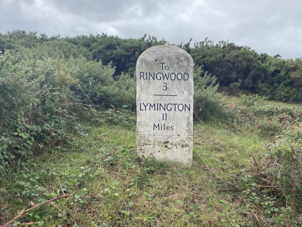
A regular walk of mine when in Minehead is a circuit visiting Selworthy and North Hill. The beauty of walking around here is there are so many routes to choose from. So today’s jaunt is another variation of this cracking walk.
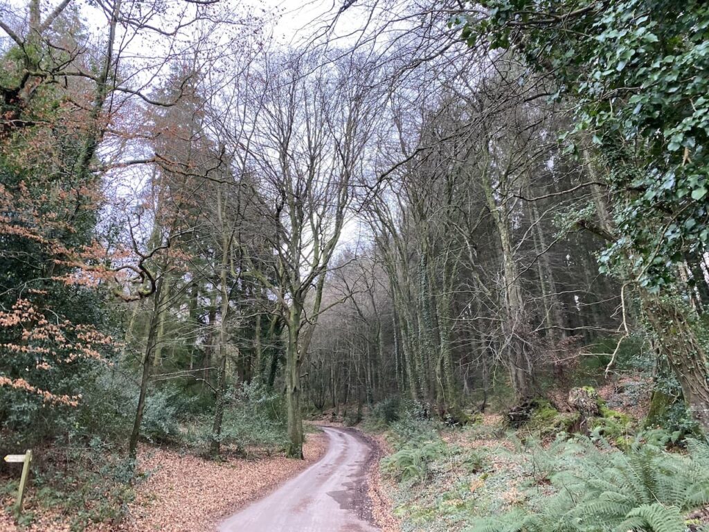
On leaving the site I turn left and walk uphill along the pavement besides the A39, Hopcott Road. At the Hopcott I turn left to follow the narrow tarmac lane as it heads steadily uphill passing Higher Hopcott and reaching woodland.
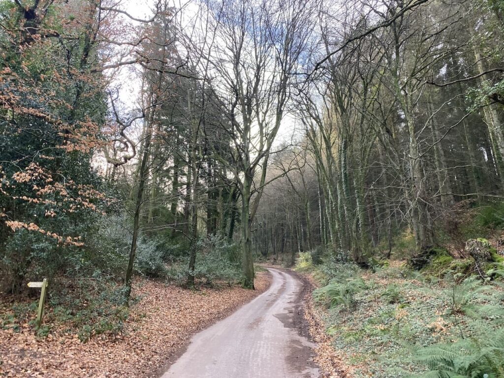
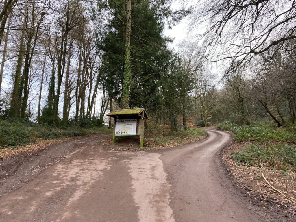
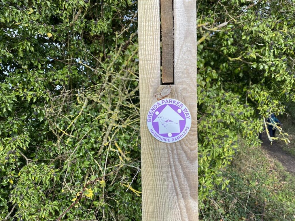
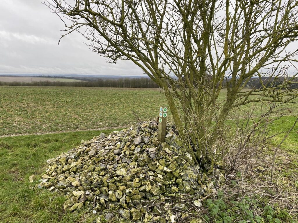
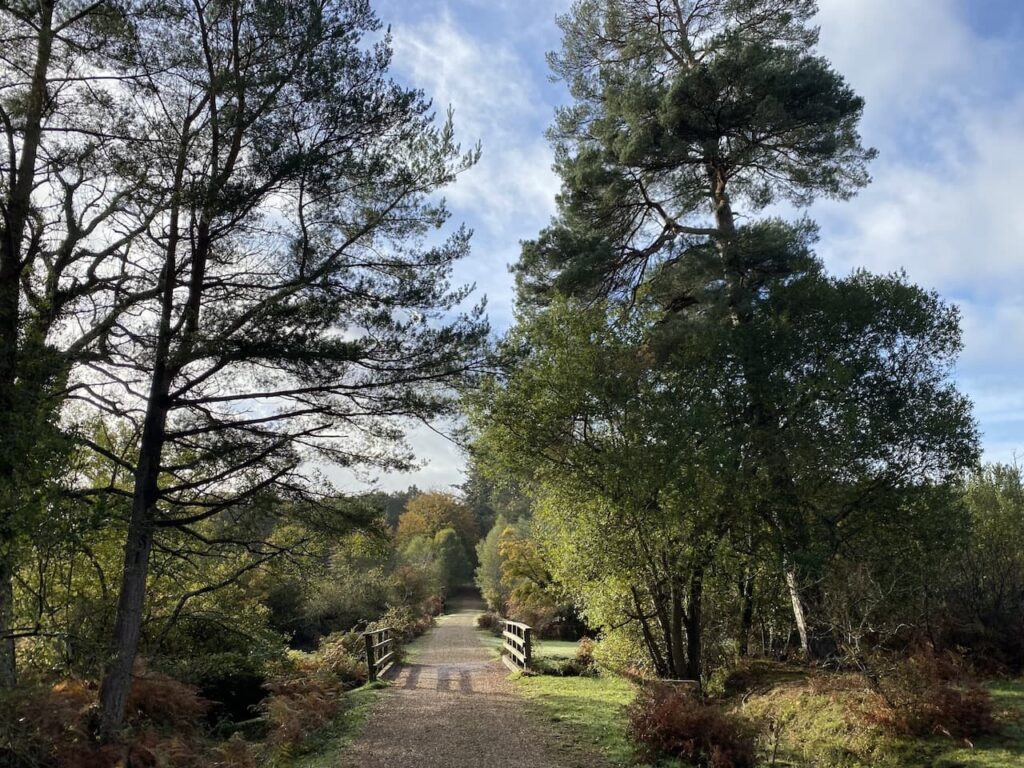
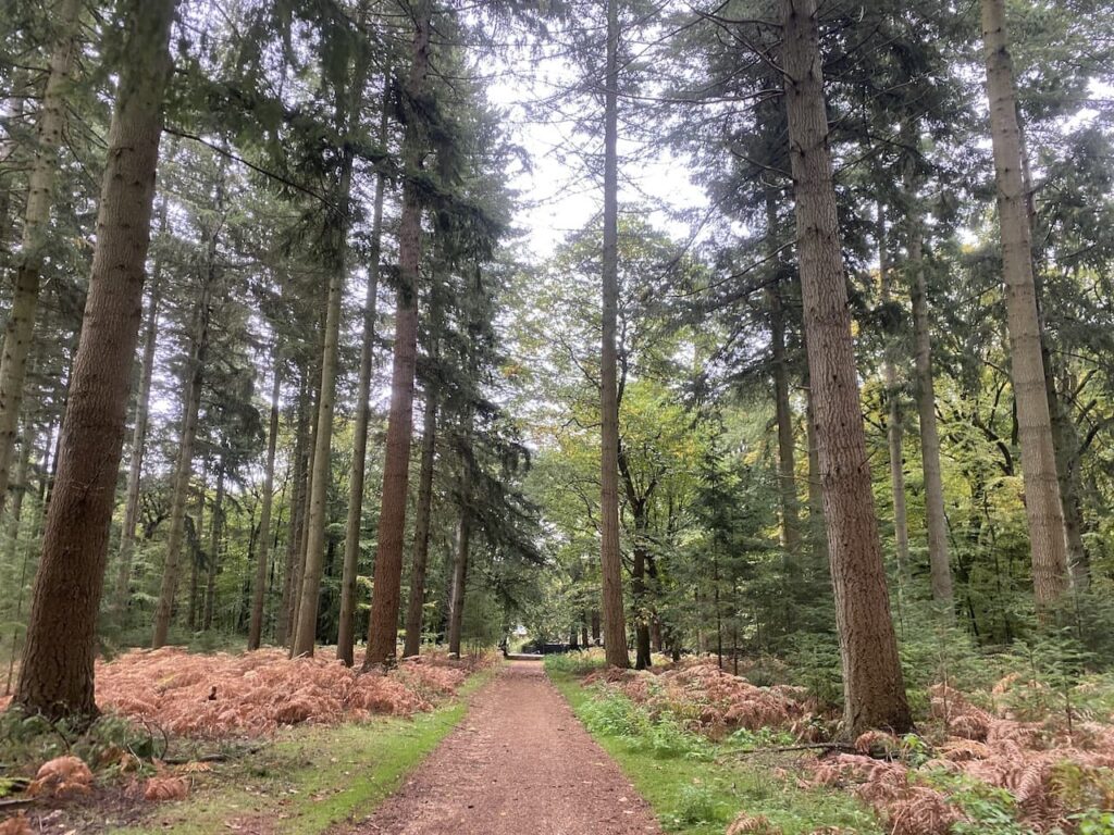
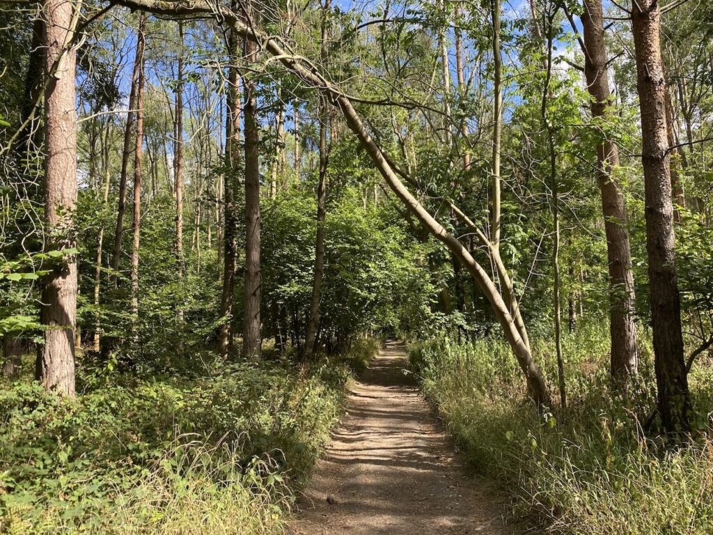
I ignore footpaths leading off from the road until I reach an information board for Dunster Woods. Now I take the path to the right of the information board on the route of the Macmillan Way West heading uphill.
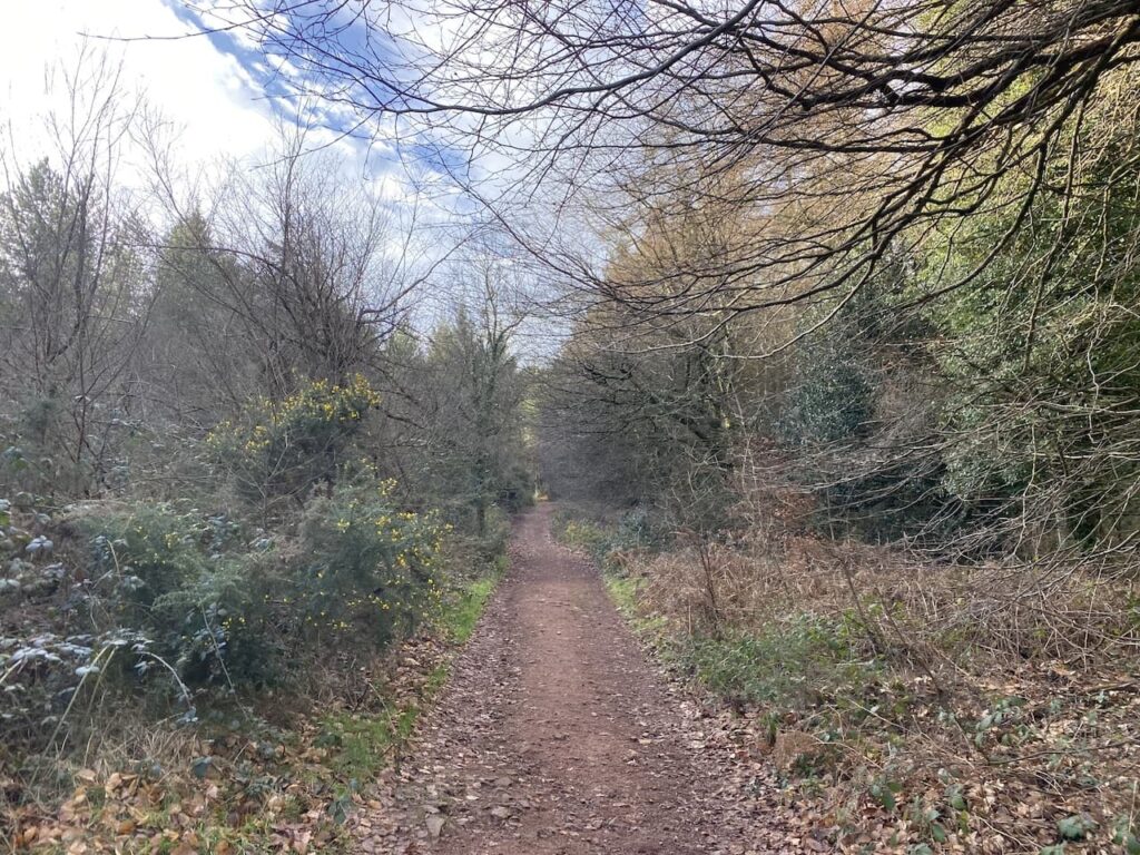
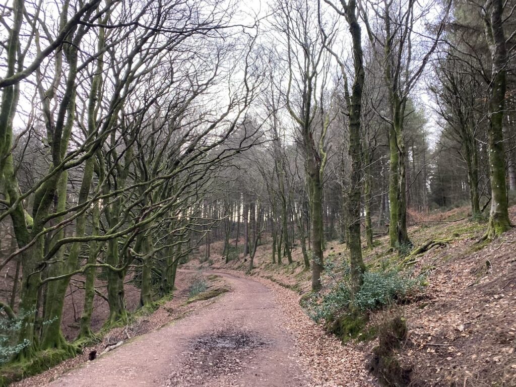
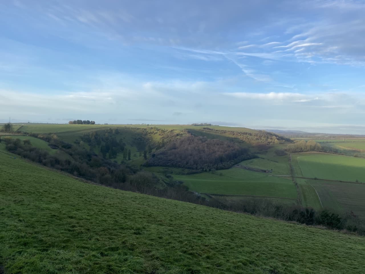
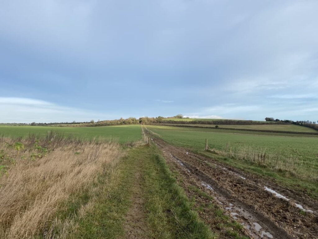
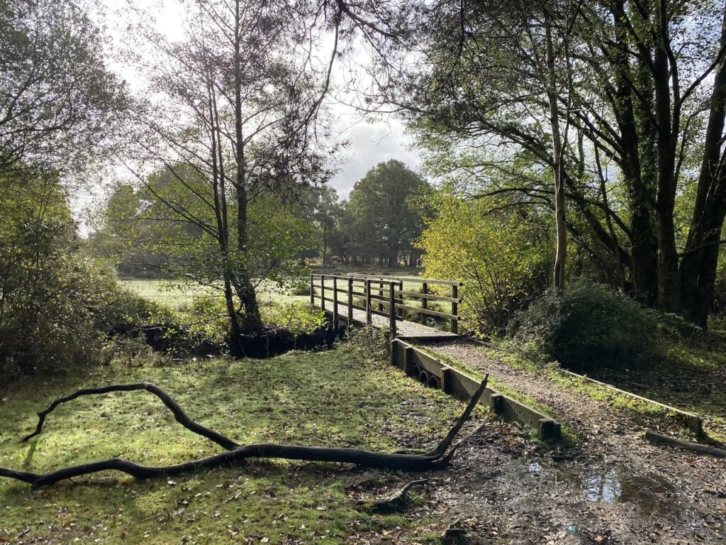
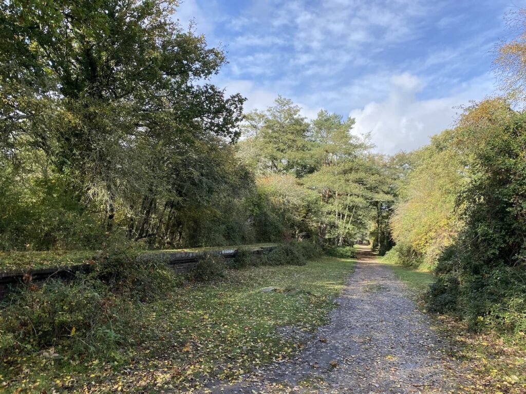
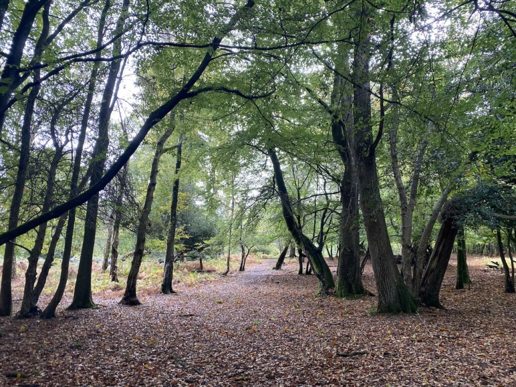
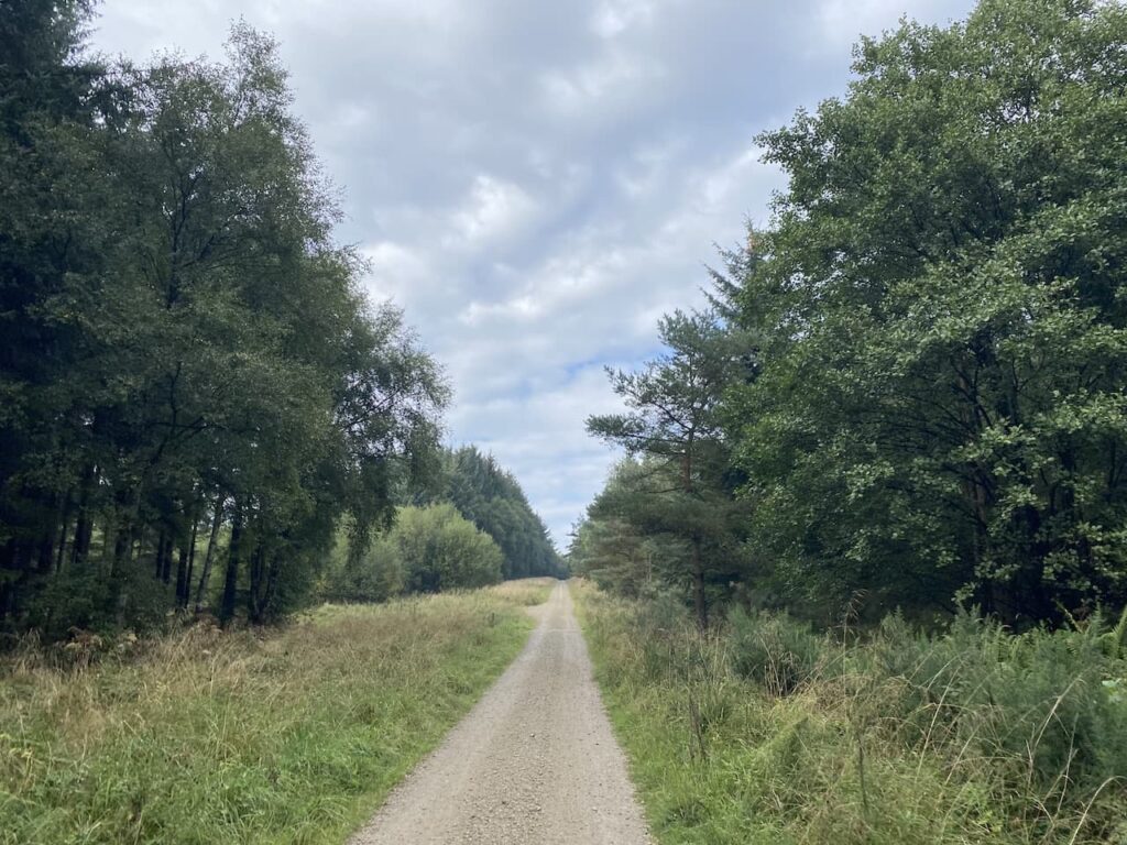
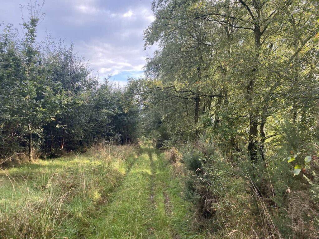
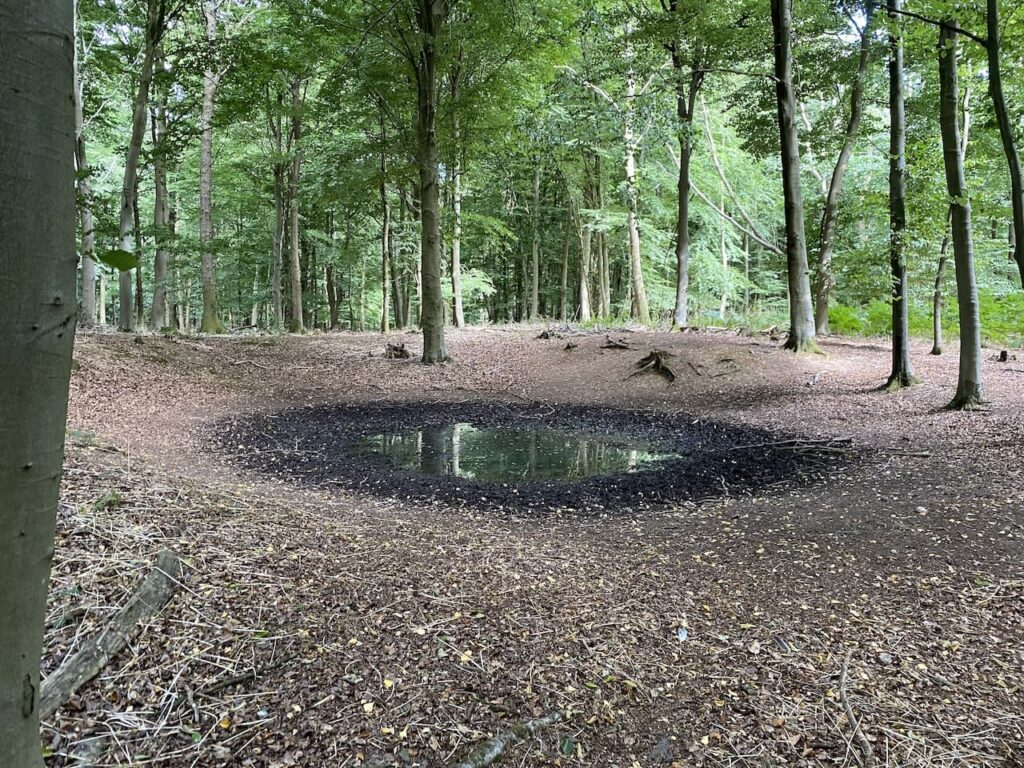
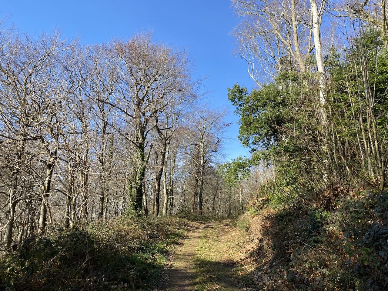
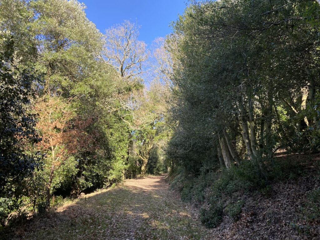
I ignore a path on the right soon after leaving the car park and then where the Macmillan Way meets a crossing of tracks I continue straight on, staying on the route of the long distance path. The path now goes around the head of Long Combe, this is a cracking spot with stunning Beech trees lining the path.
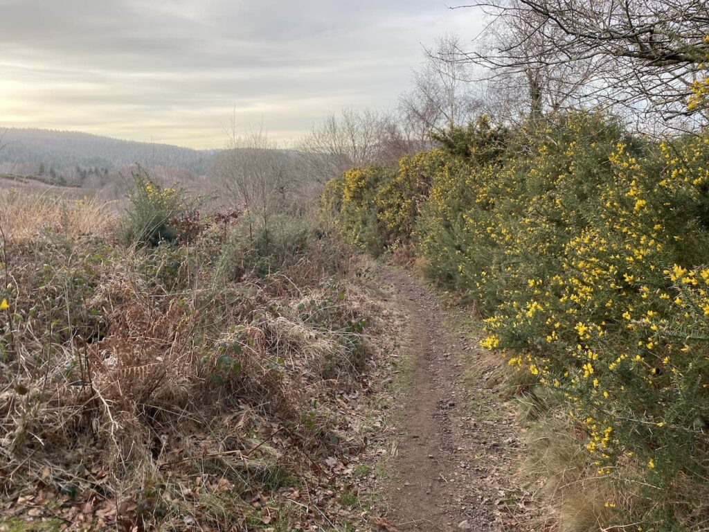
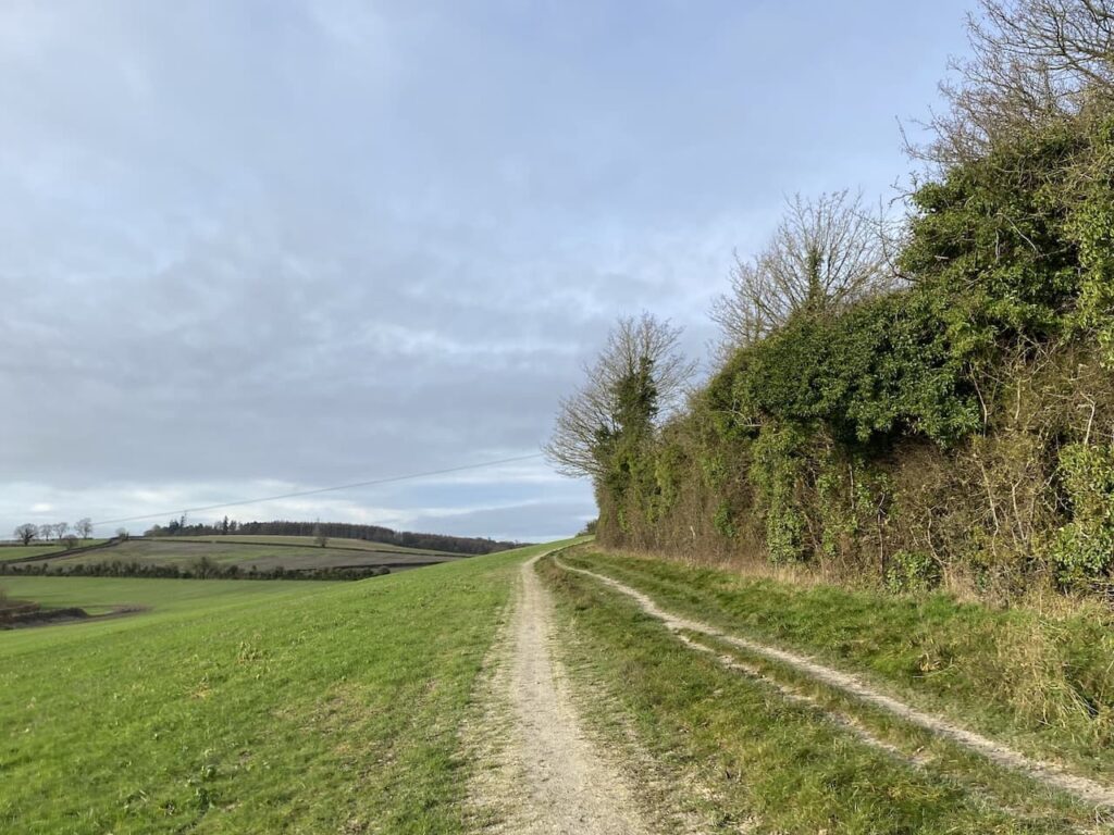
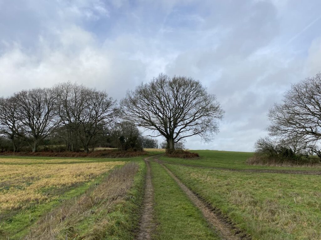
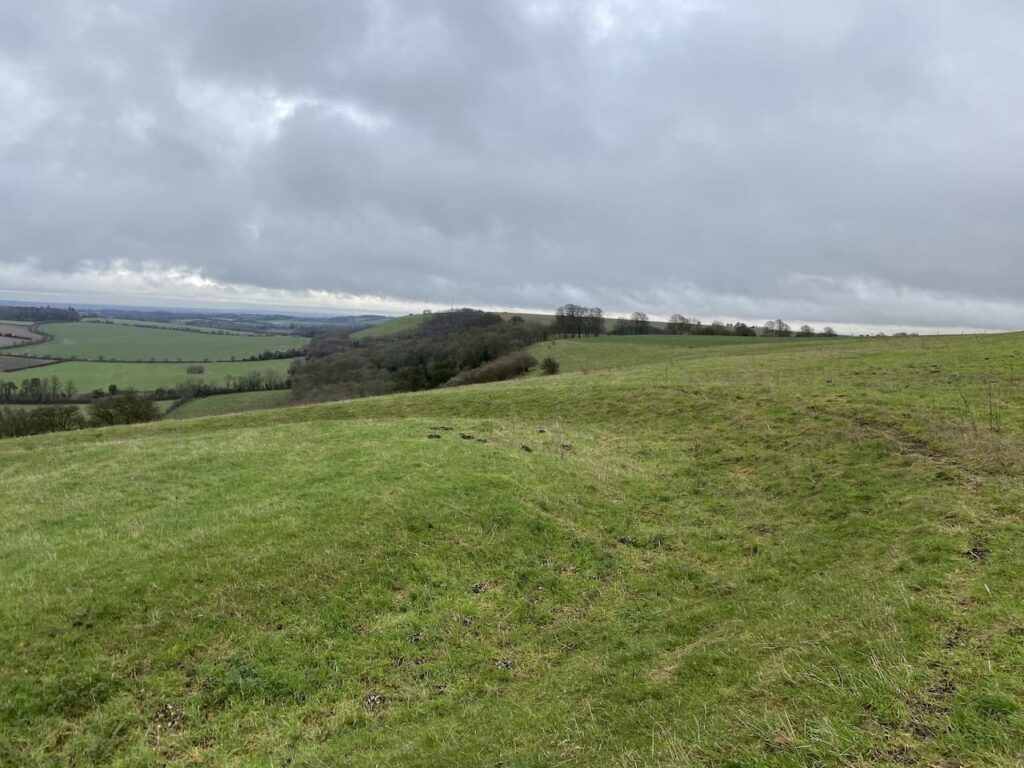
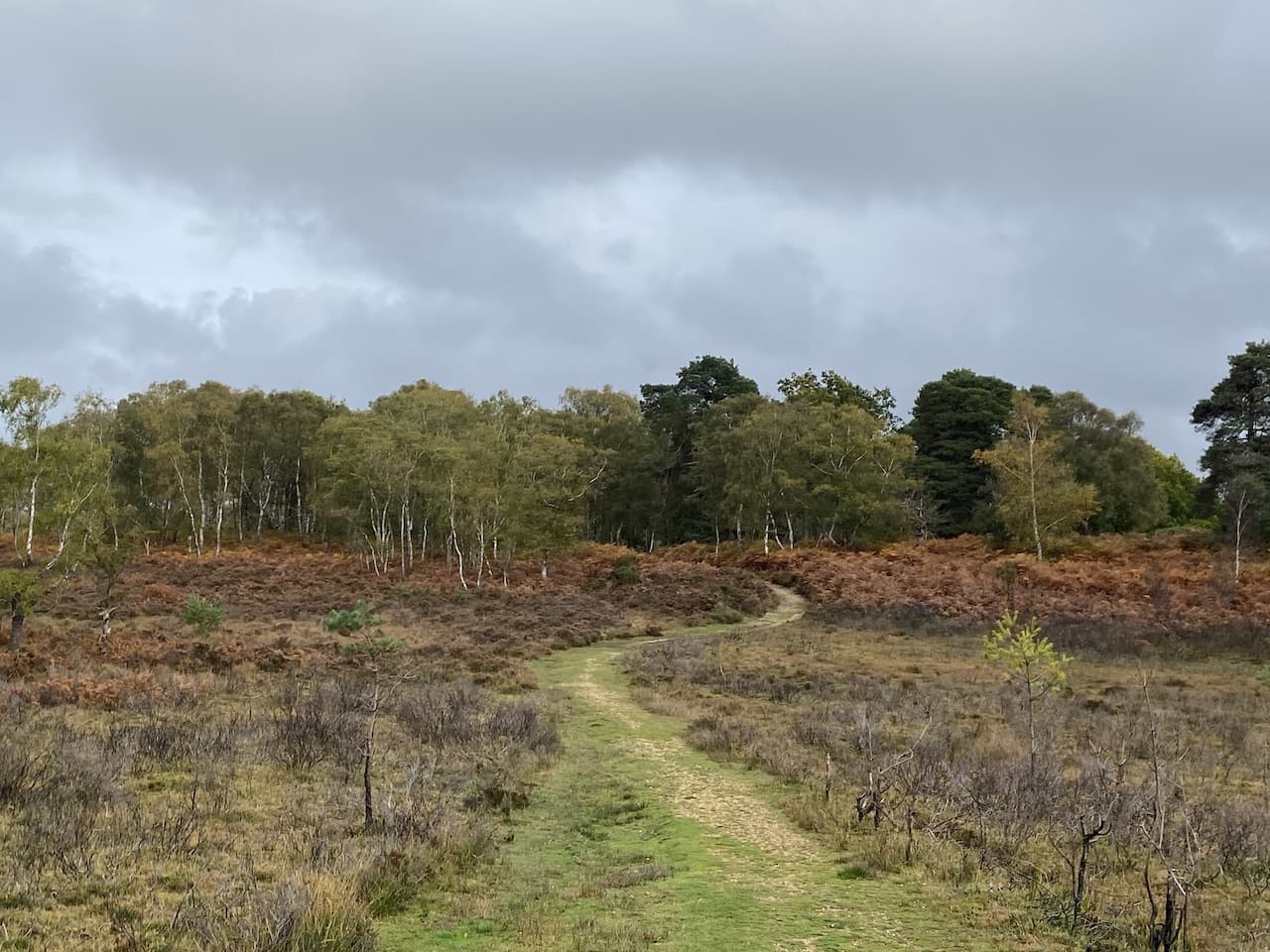
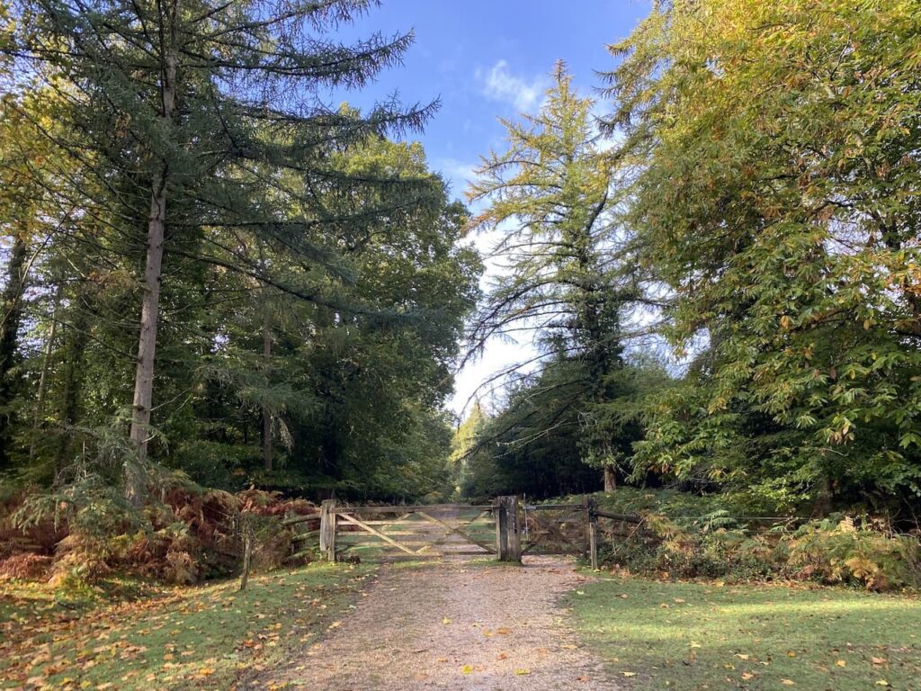
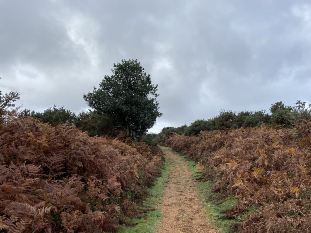
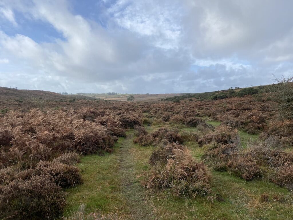
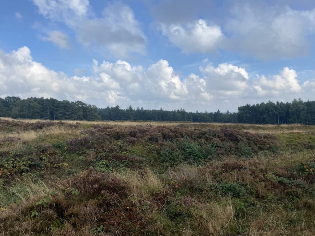
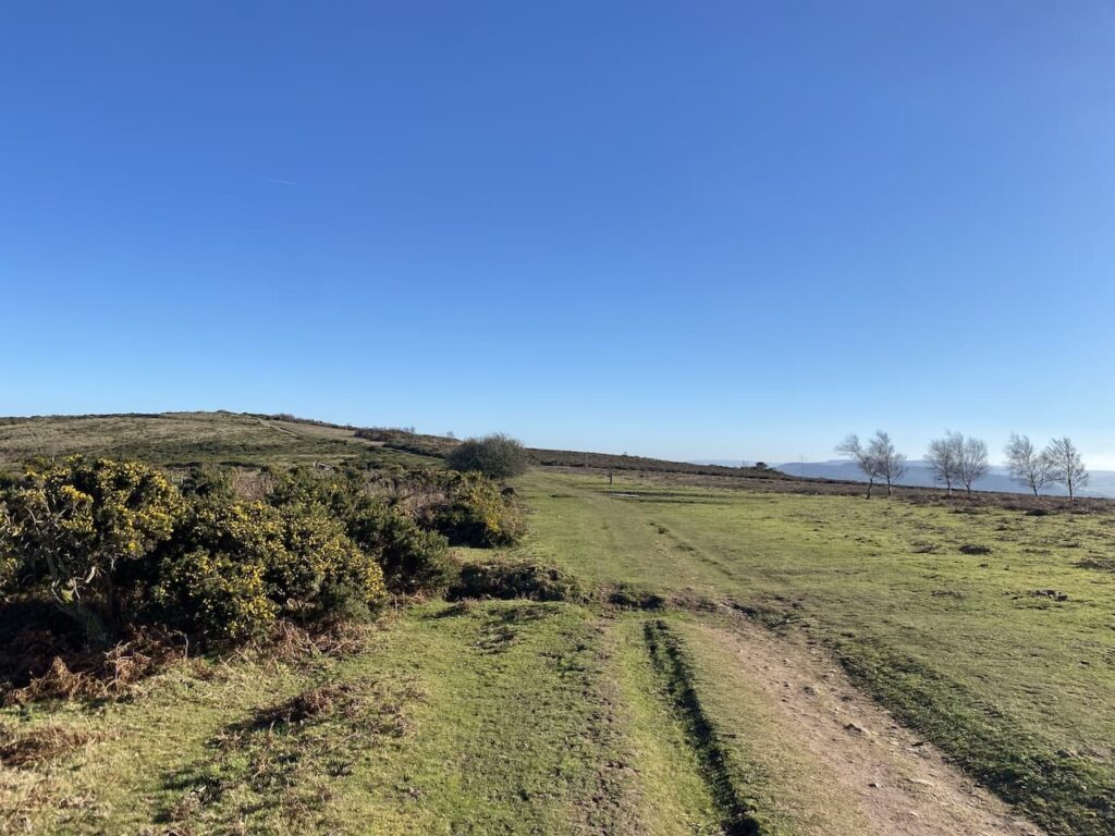
Leaving the trees the path continues through a section of open land with dead bracken and gorse. On reaching a junction of tracks I turn right still on the route of the Macmillan Way West heading towards Tivington across the top of Hopcott Common. At a fork in the track I go left to keep with the Macmillan Way West.
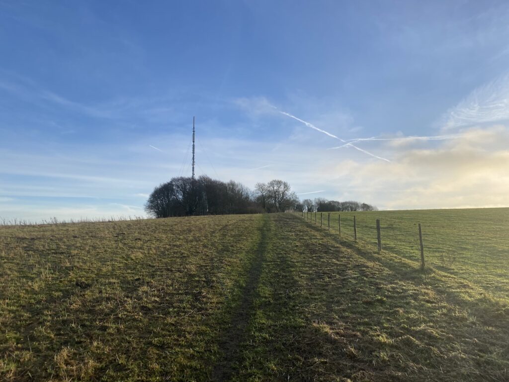
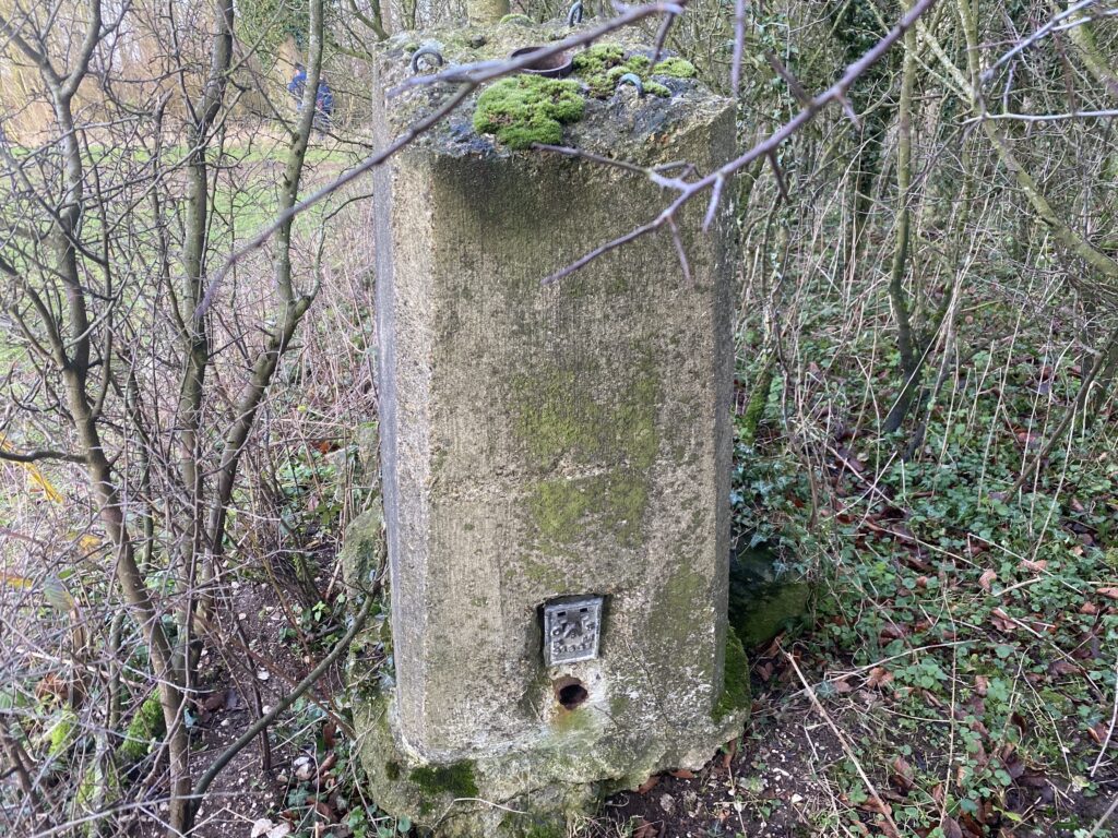
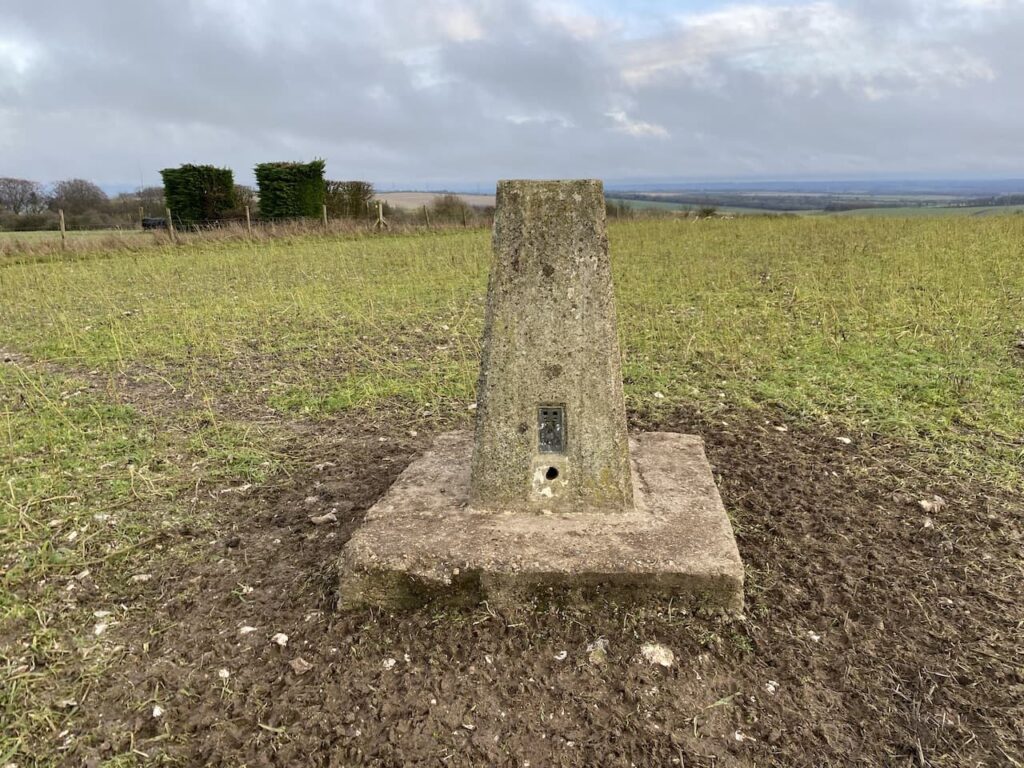
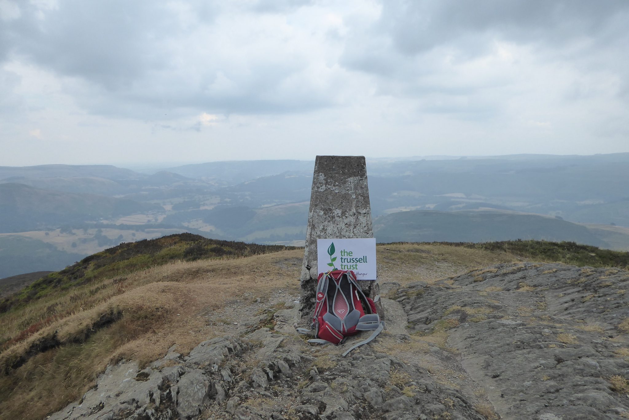
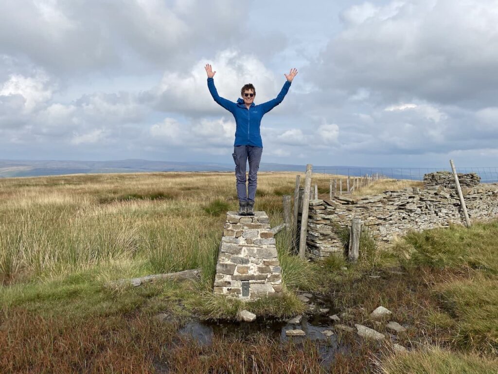
I continue to head west to reach another crossing of paths. Here the Macmillan Way turns left towards Wootton Courtney, however, I keep going straight ahead soon passing the Ordnance Survey trig point tucked to the left of the track on a high bank. At the next crossing of footpaths I continue straight on.
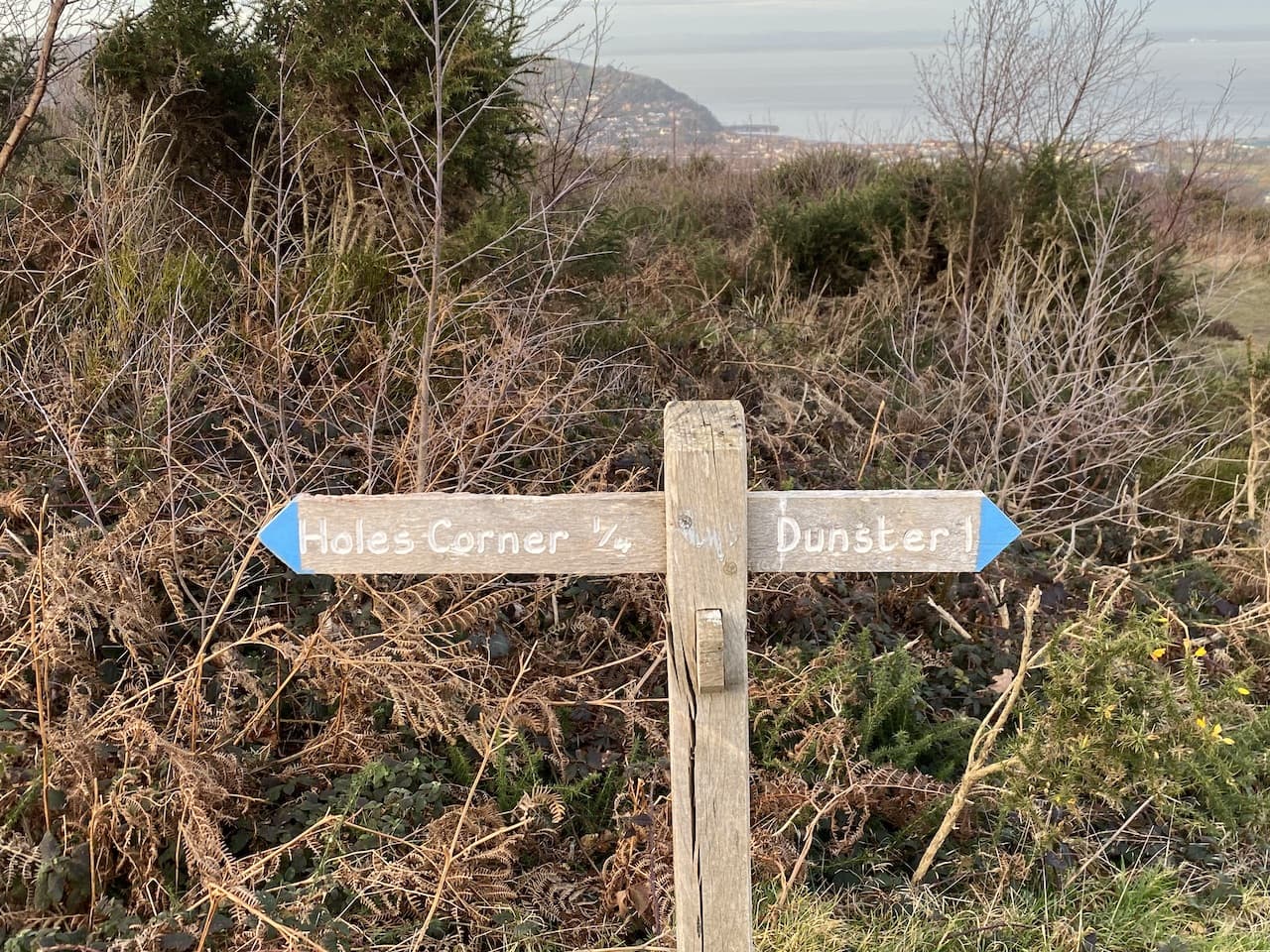
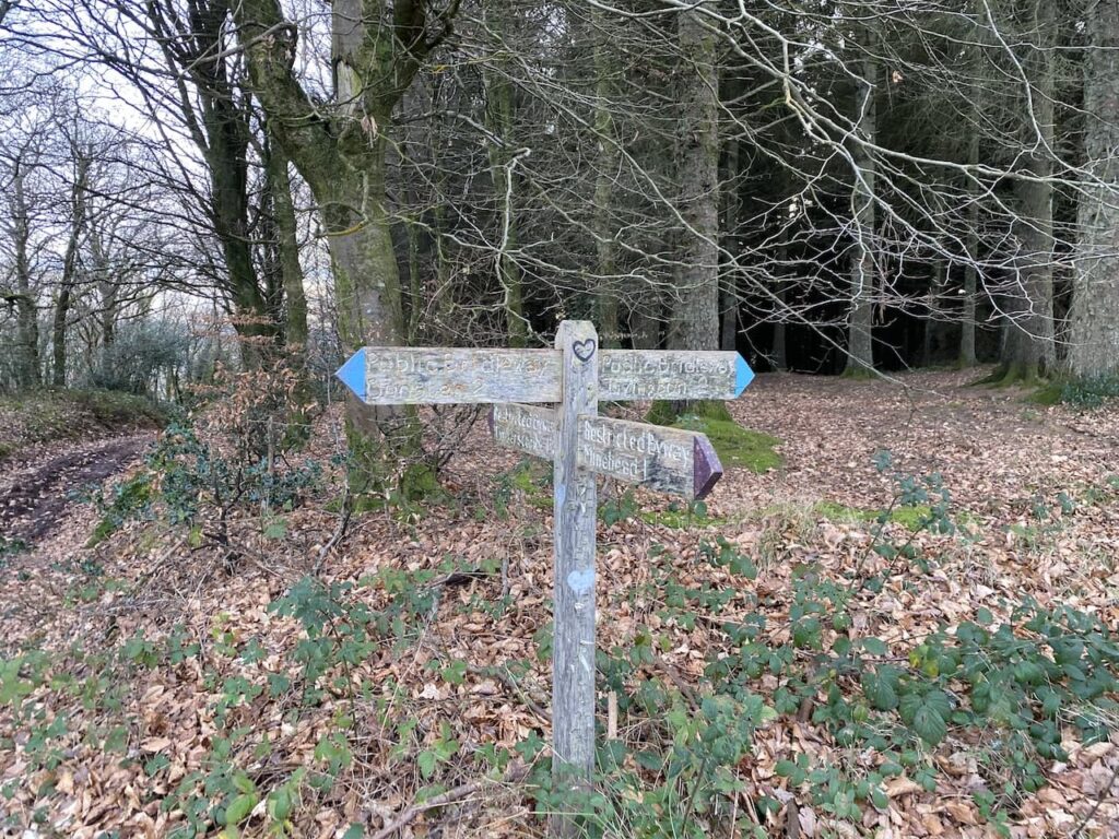
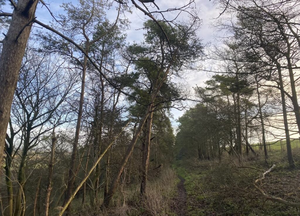
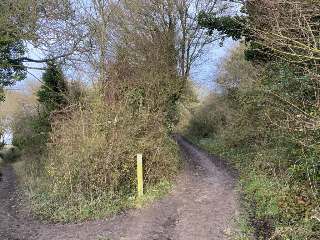
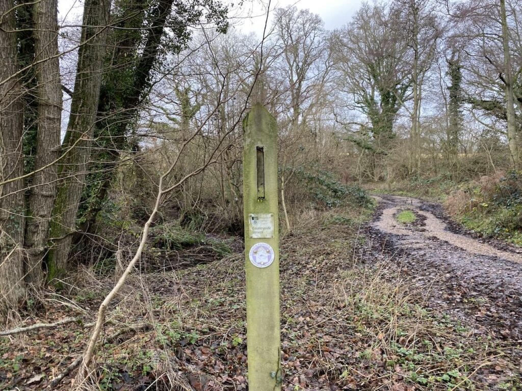
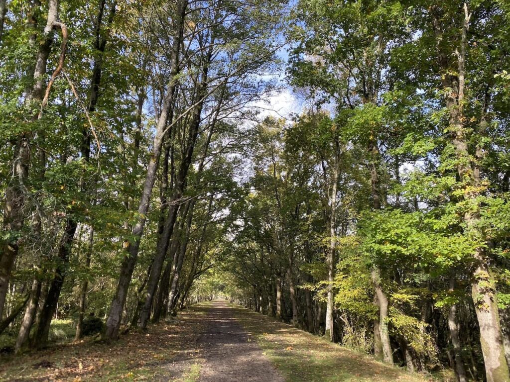
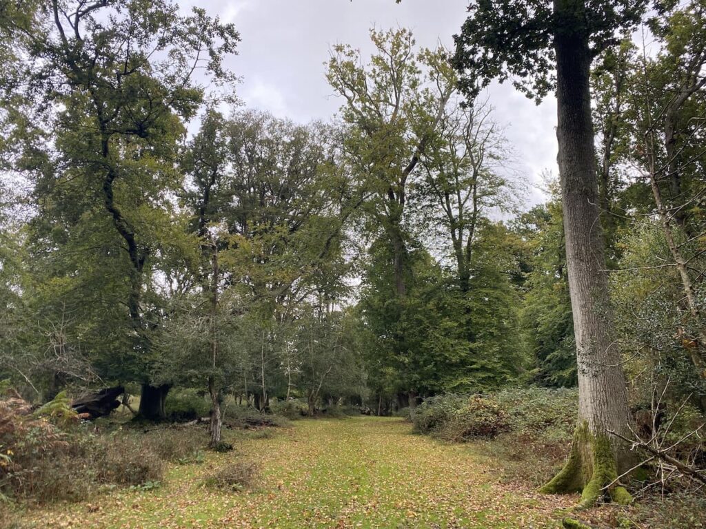
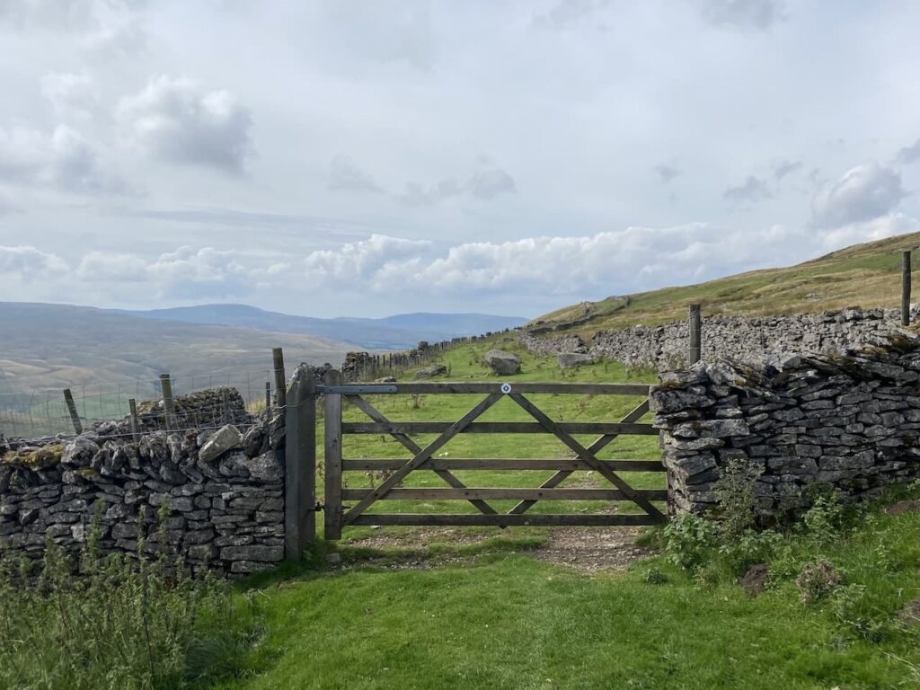
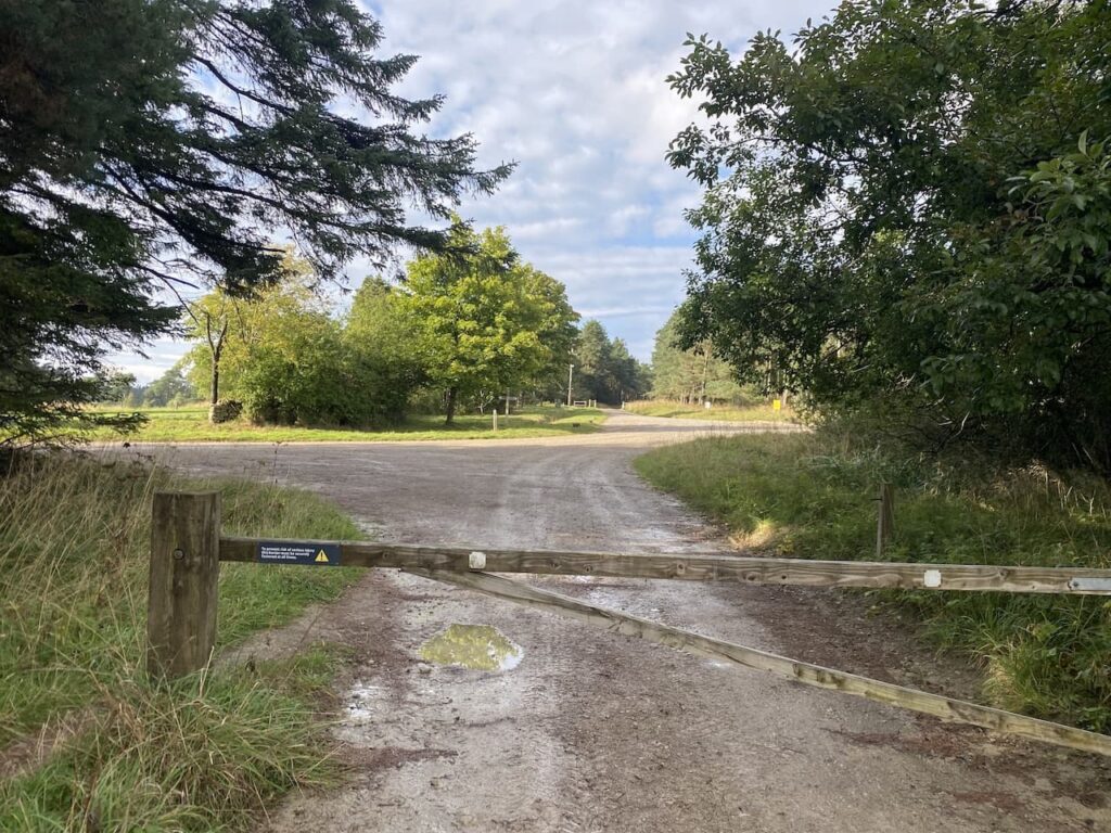
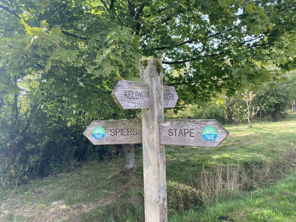
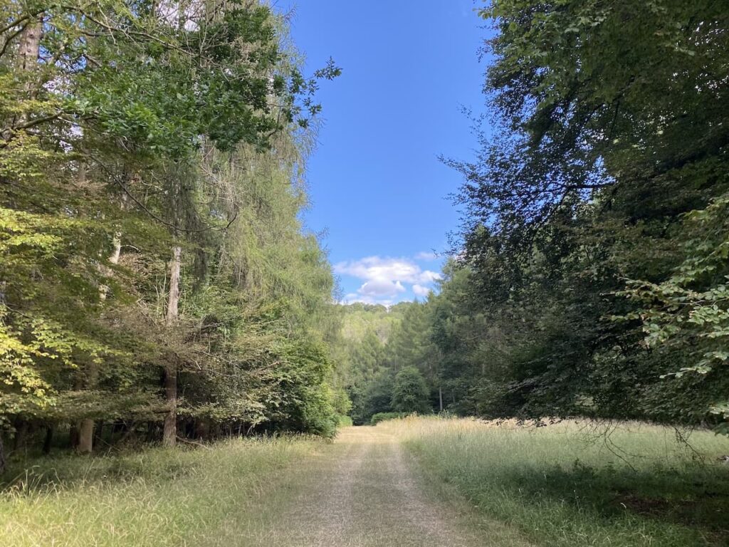
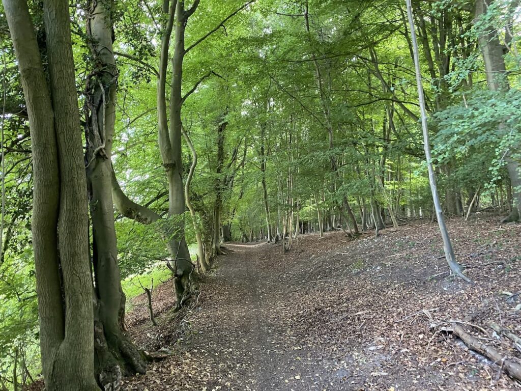
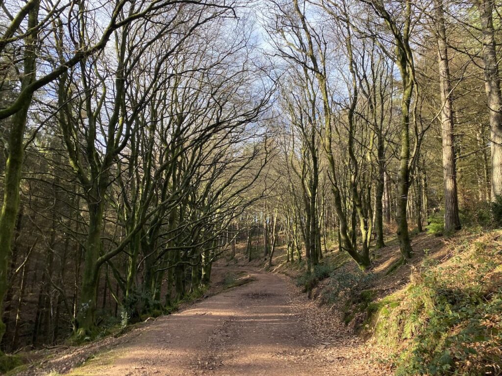
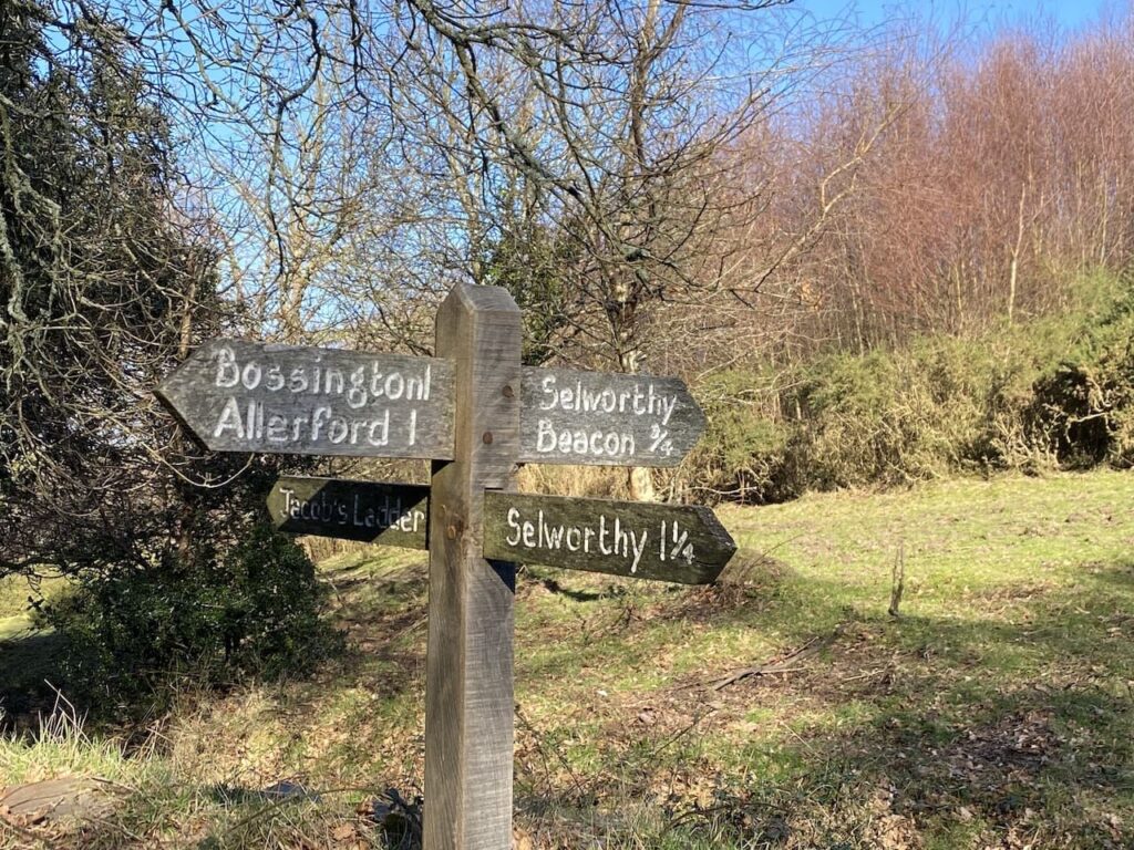
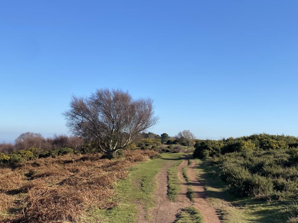
At the next junction of paths I follow the way-marker towards Headon Cross and soon pass a National Trust plaque and enter Holnicote Estate. Within a short distance the track forks and I go right continuing towards Headon Cross with the path leading through the attractive woodland of Tivington Common.
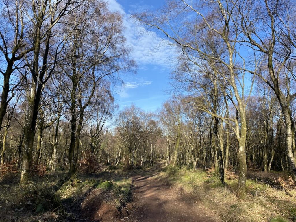
The last time I walked through these woods was on a cracking day in December. I must be extremely lucky because once again the sun is shining and it is one of those days when it great to be outside.
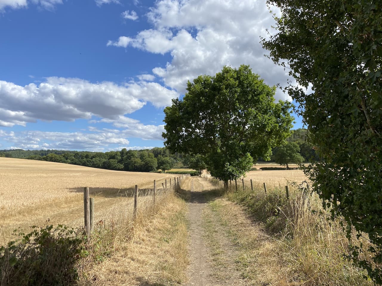
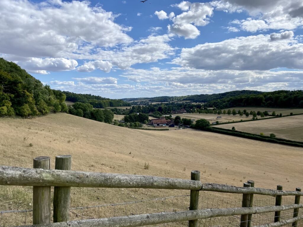
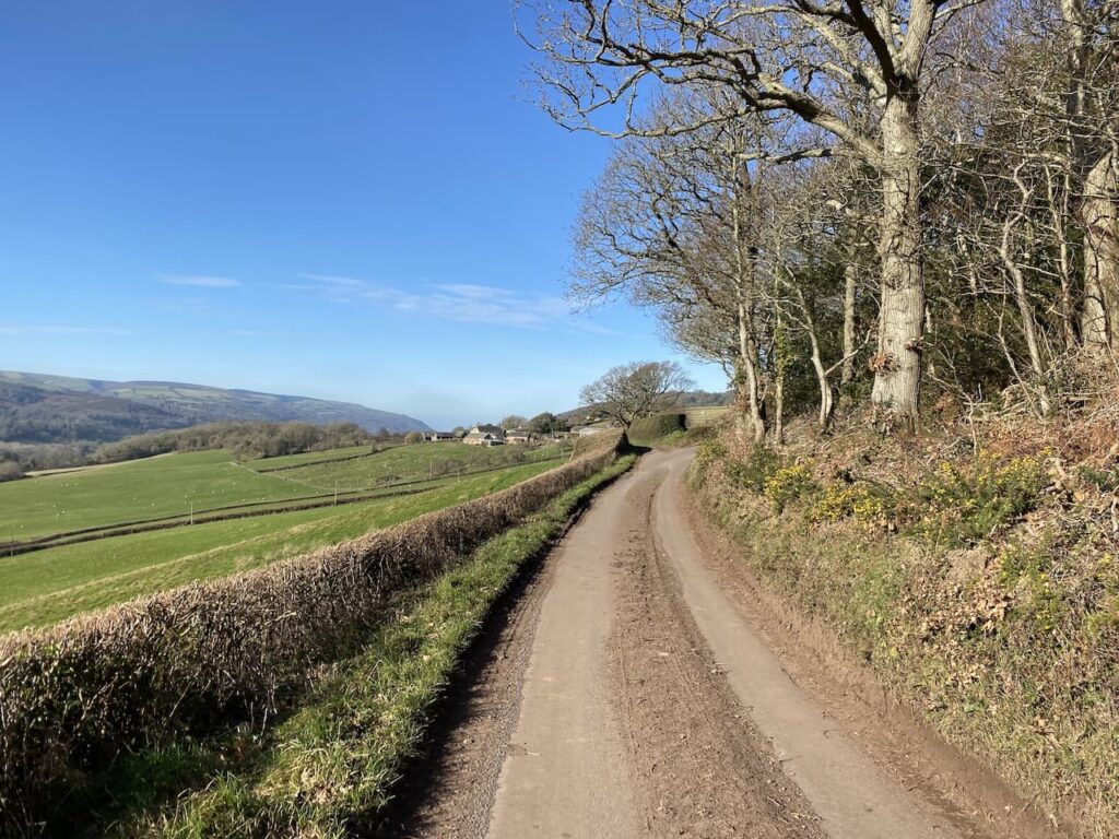
The path I am on initially descends gradually, but as I near Headon Cross there is a short steep descent to reach a minor road. Turning right on the road I reach Headon Cross and go straight over to take another minor road opposite. This climbs steadily, as the road sweeps to the right I continue straight on along a track towards East Lynch.
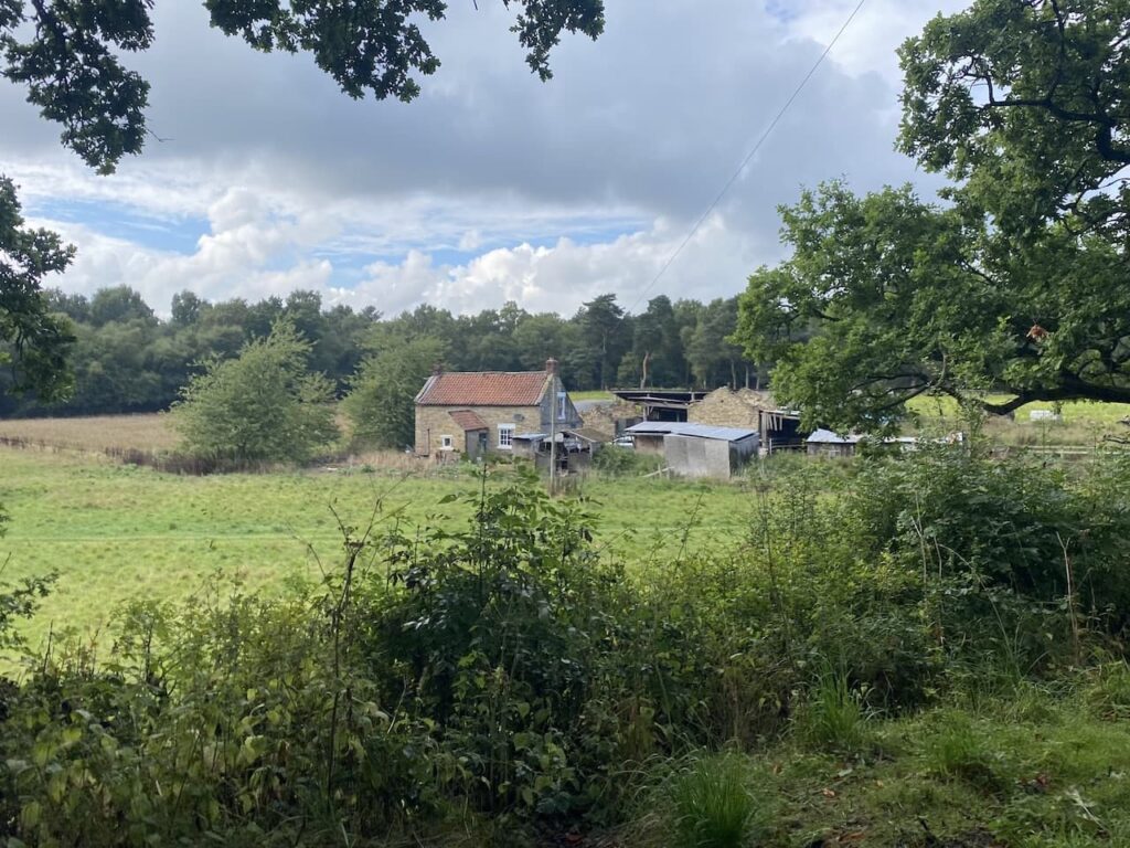
Approaching East Lynch farm I take a footpath on the right that runs behind a fine old barn. I stay on the wide grassy track as it passes farm cottages, ignoring a footpath on the left and continuing uphill.
I reach a minor road at Dean’s Cross and turn left following the road downhill towards Selworthy.
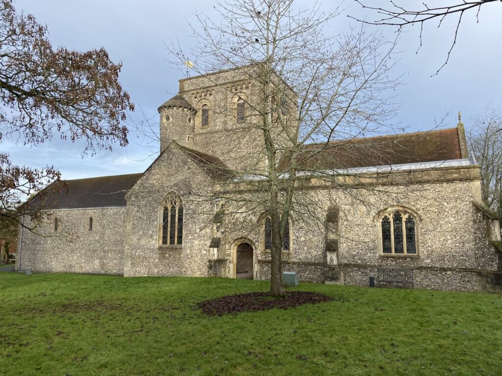
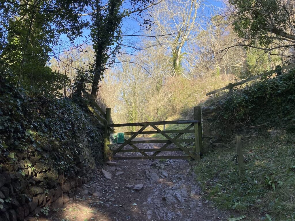
In Selworthy I stop on one of the many benches in the churchyard and admire the view whilst I have my lunch. Resuming my walk I turn right beside the Way Memorial. The path heads uphill through a gate to enter the woodland of Selworthy Combe.
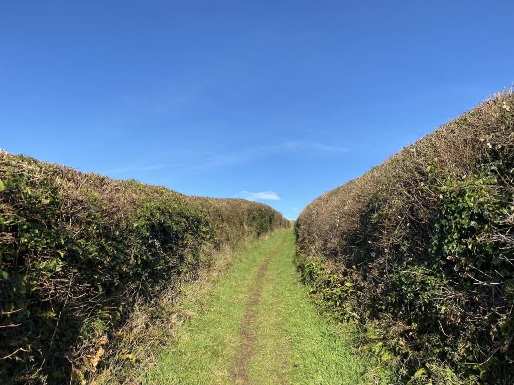
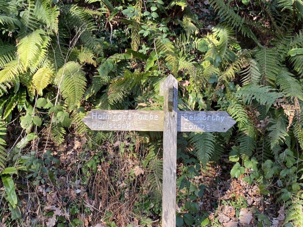
Soon I reach a junction of paths where I turn left and take a path waymarked to Holnicote Combe and Hurlestone.
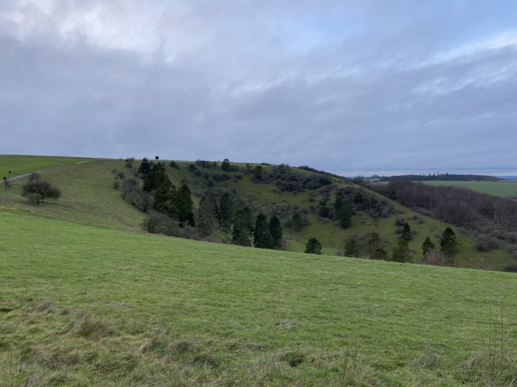
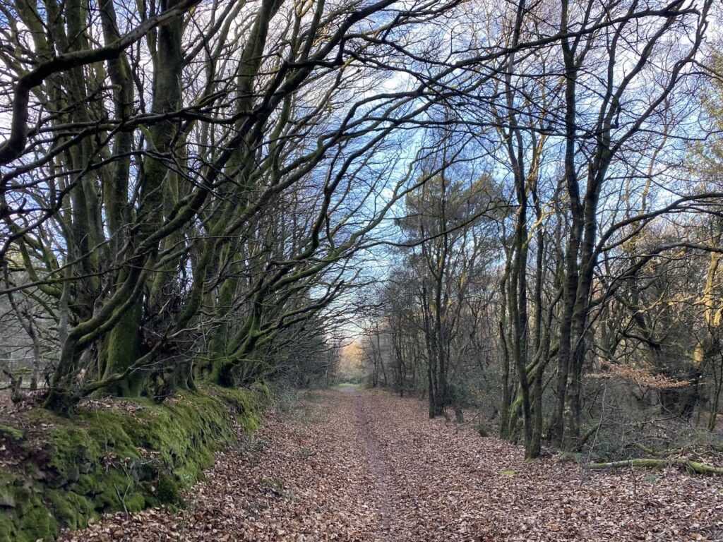
This is the first time I have walked along this path following the counter line around the hill. I am not sure if it is because of the blue skies and sunshine, but it is a grand path to walk along.
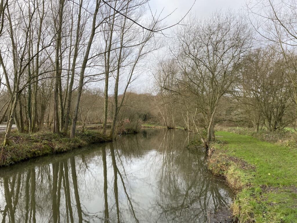
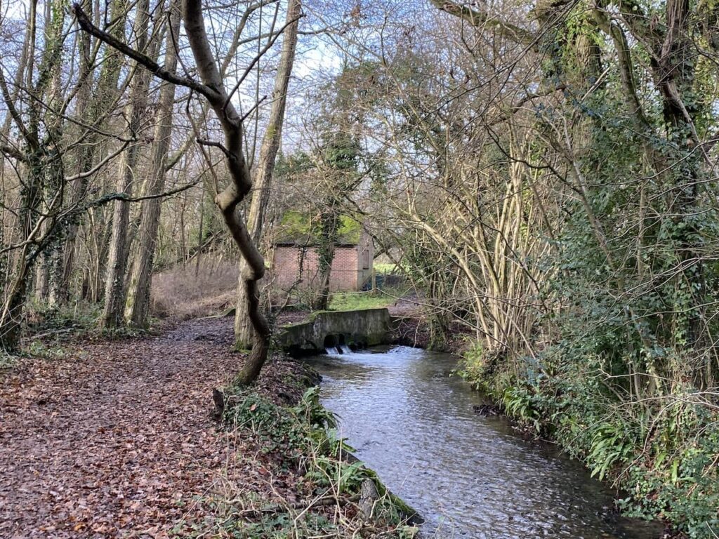
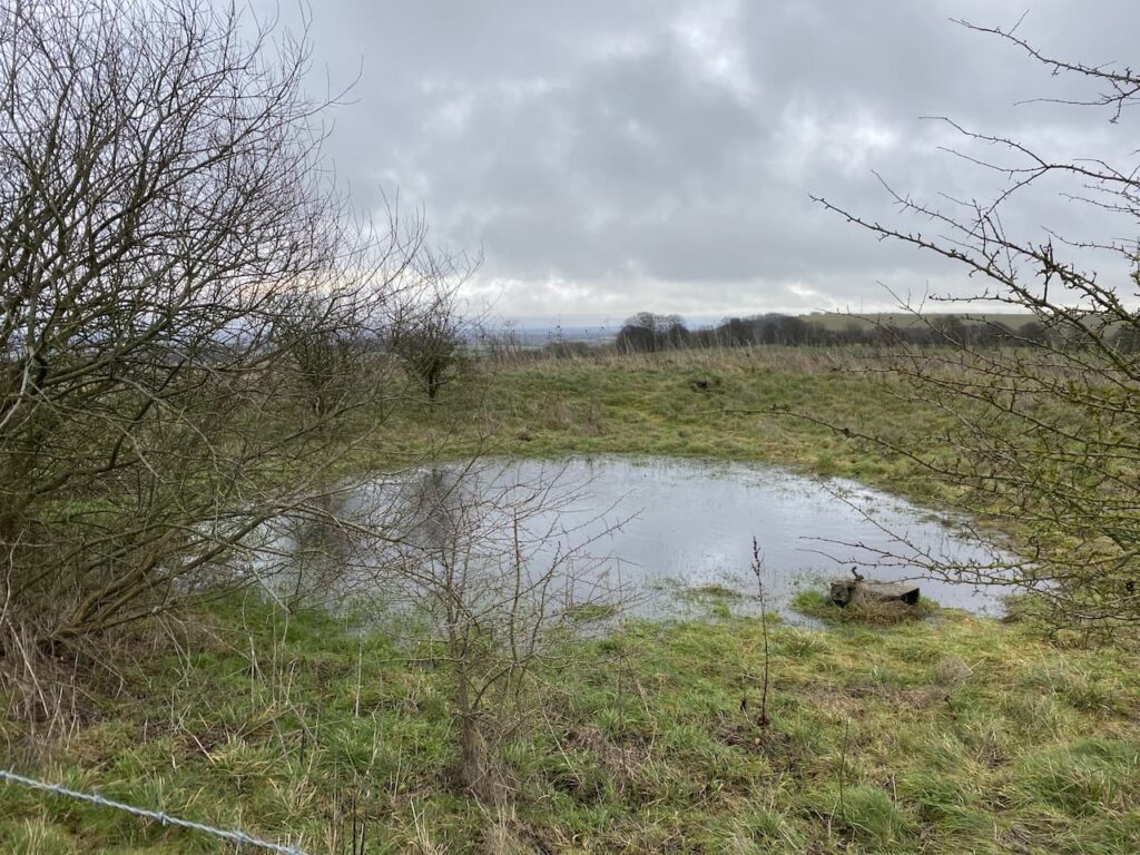
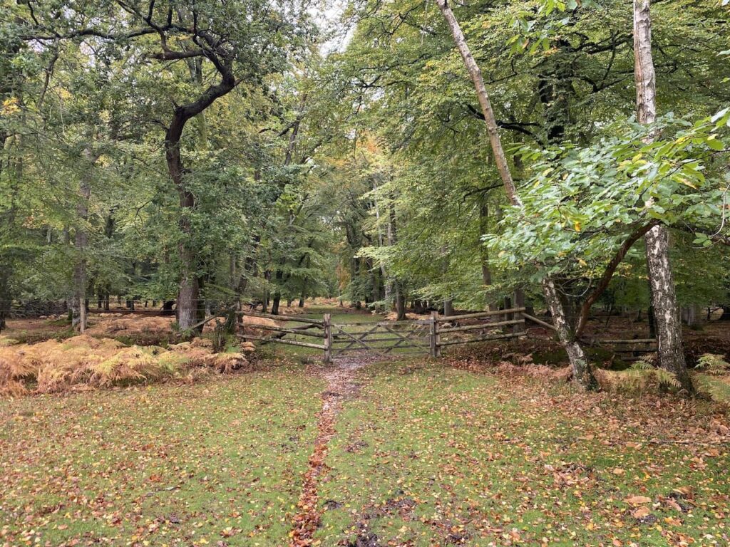
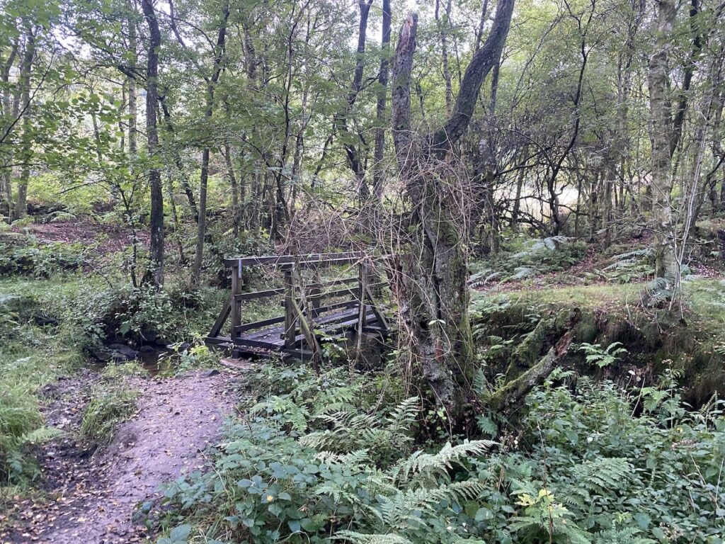
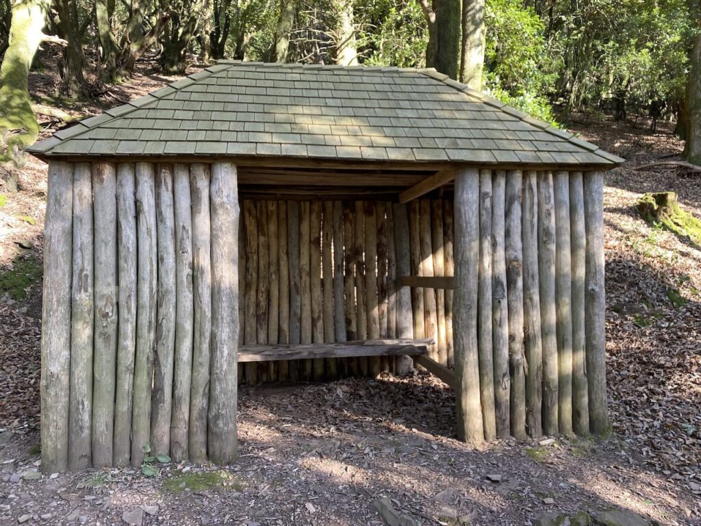
At a junction of paths in Holnicote Combe I continue straight on to still follow the way-markers towards Hurlestone. This path passes Allerford Combe and a wooden shelter.
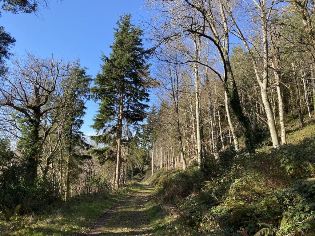
At the next junction of paths I veer to the right on a route heading steadily uphill through Allerford Plantation.
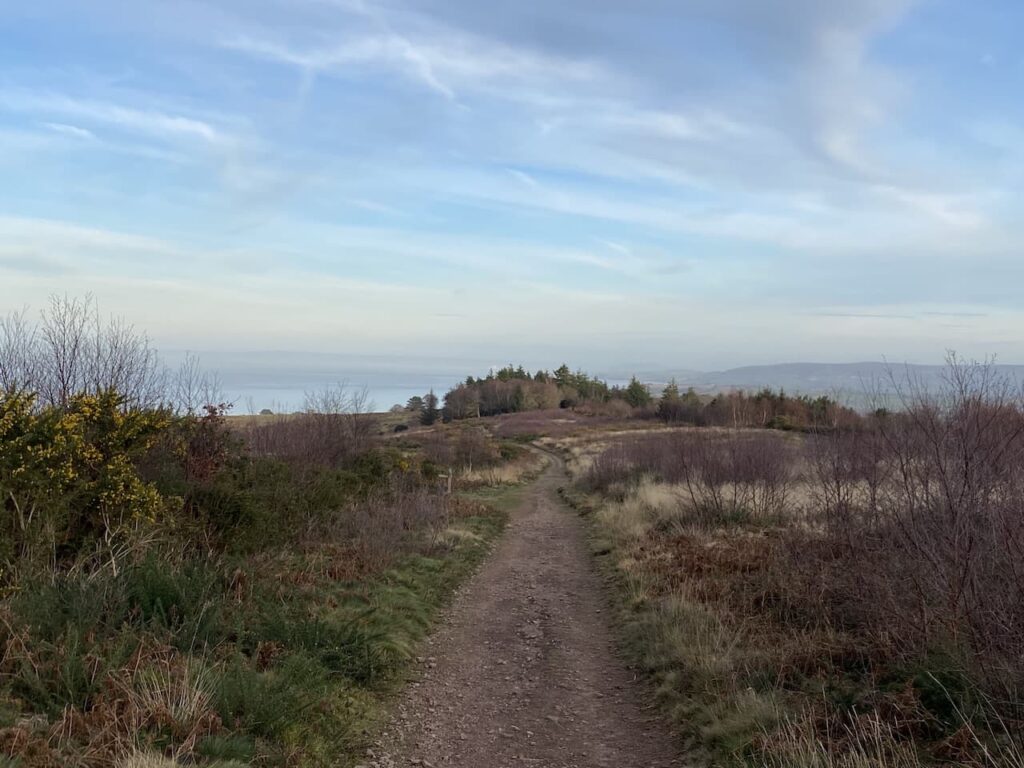
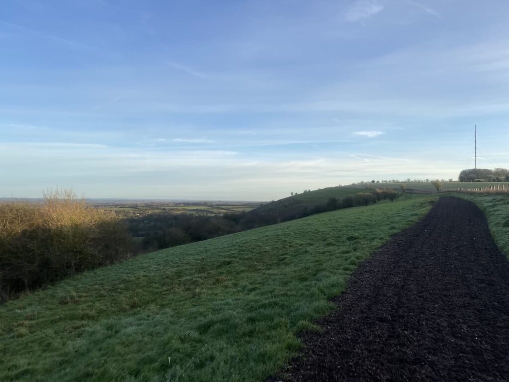
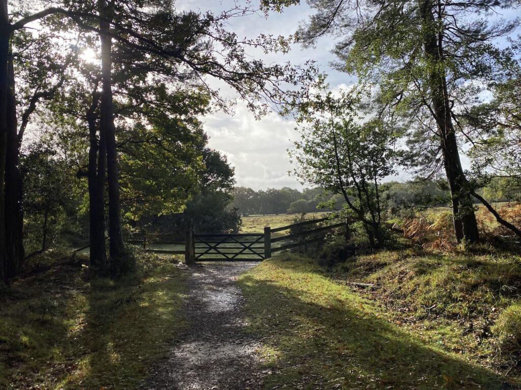
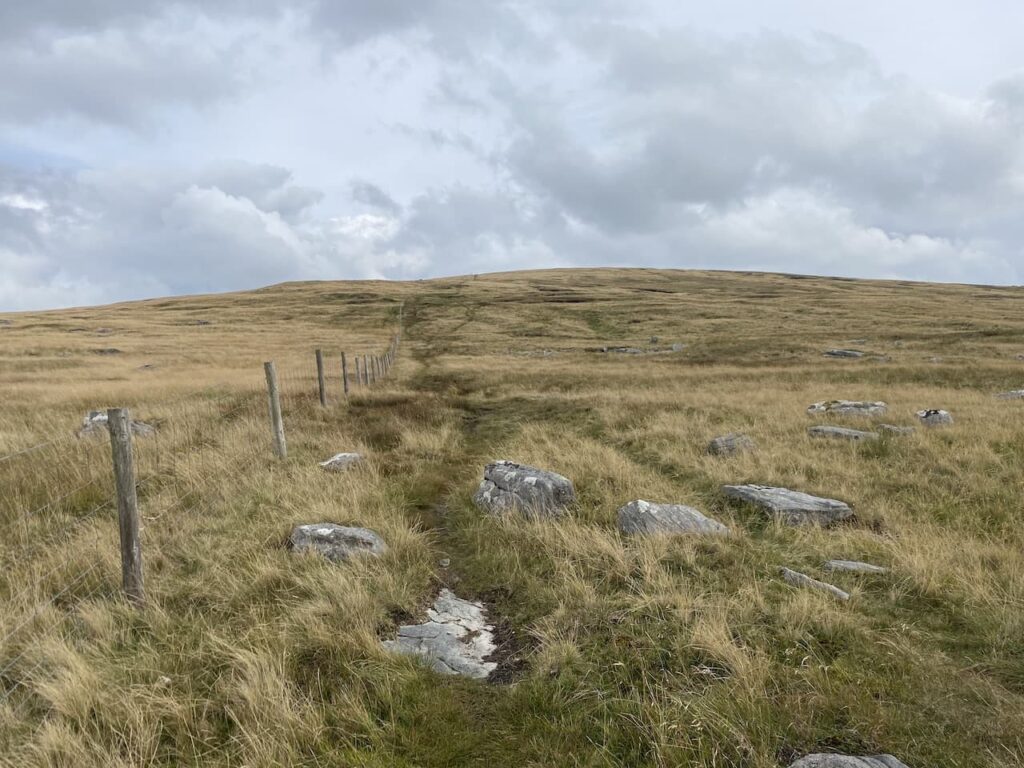
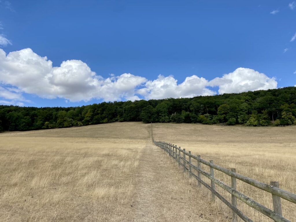
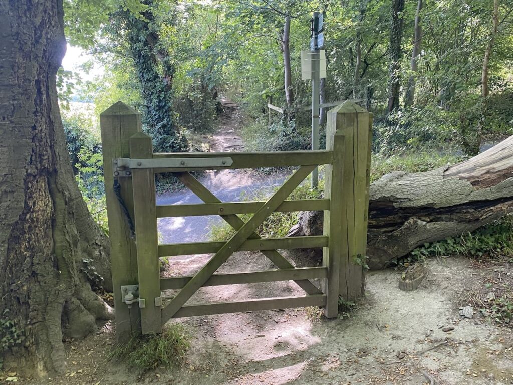
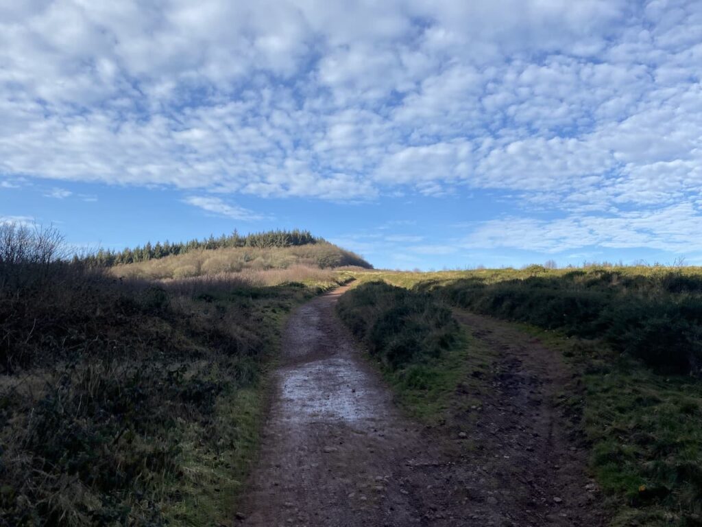
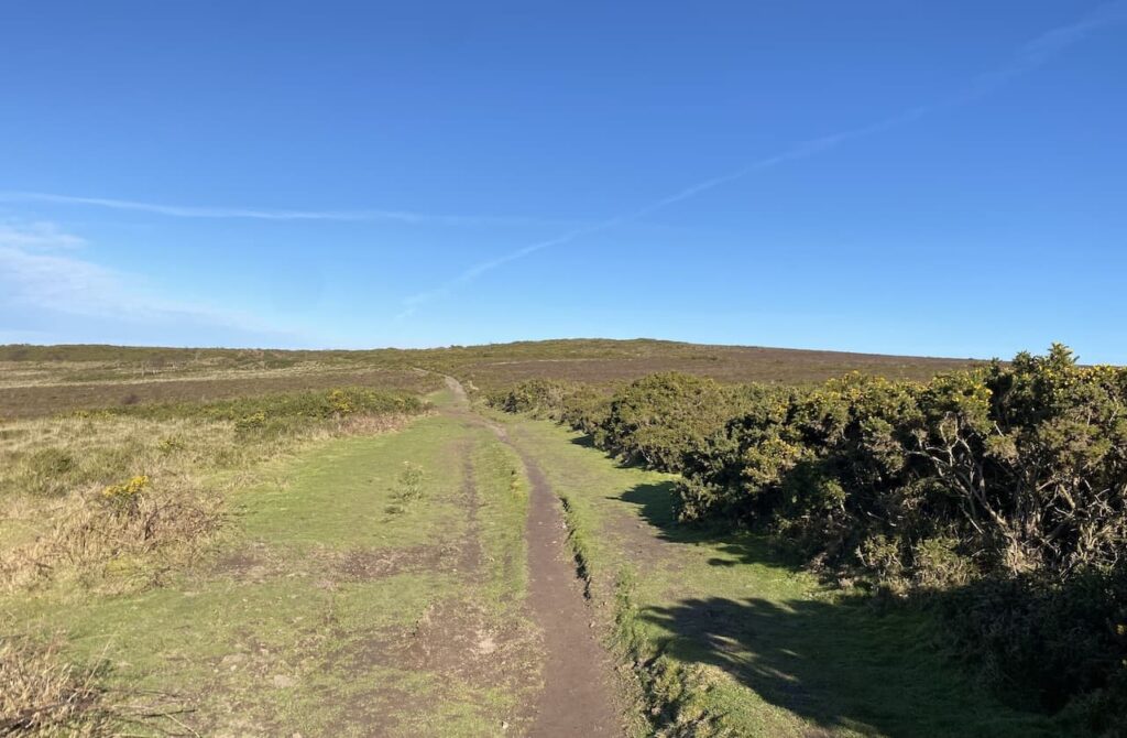
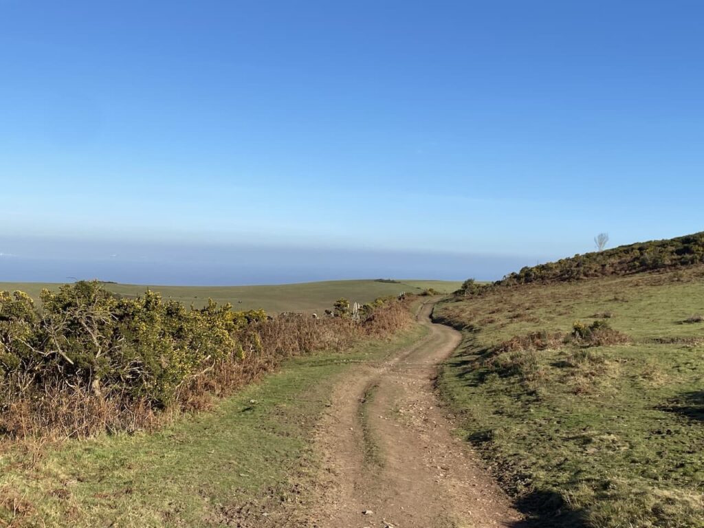
This long steady ascent is one of those where it is easy to stop and take a breather, but I am conscious I have had a few weeks without any strenuous hill walking so I push on without stopping to reach a gate leading to open access land. Here I go through and continue uphill on the path towards Selworthy Beacon.
This broad grassy path leads to a car park and viewpoint. As I skirt the car park a walker lacing her boots enquires about my route. We spend the next ten minutes sharing tales of walking routes in the local area. Chance encounters like this add pleasure to a day’s walking.
My route now follows a broad path heading away from the car park in a northerly direction.
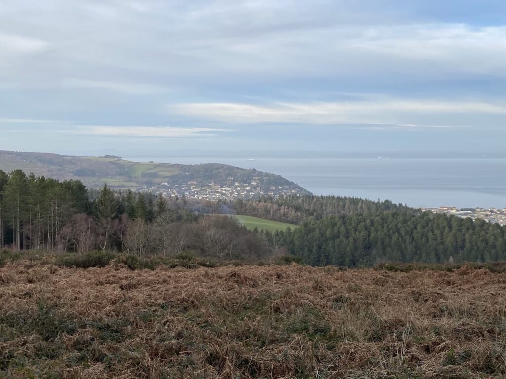
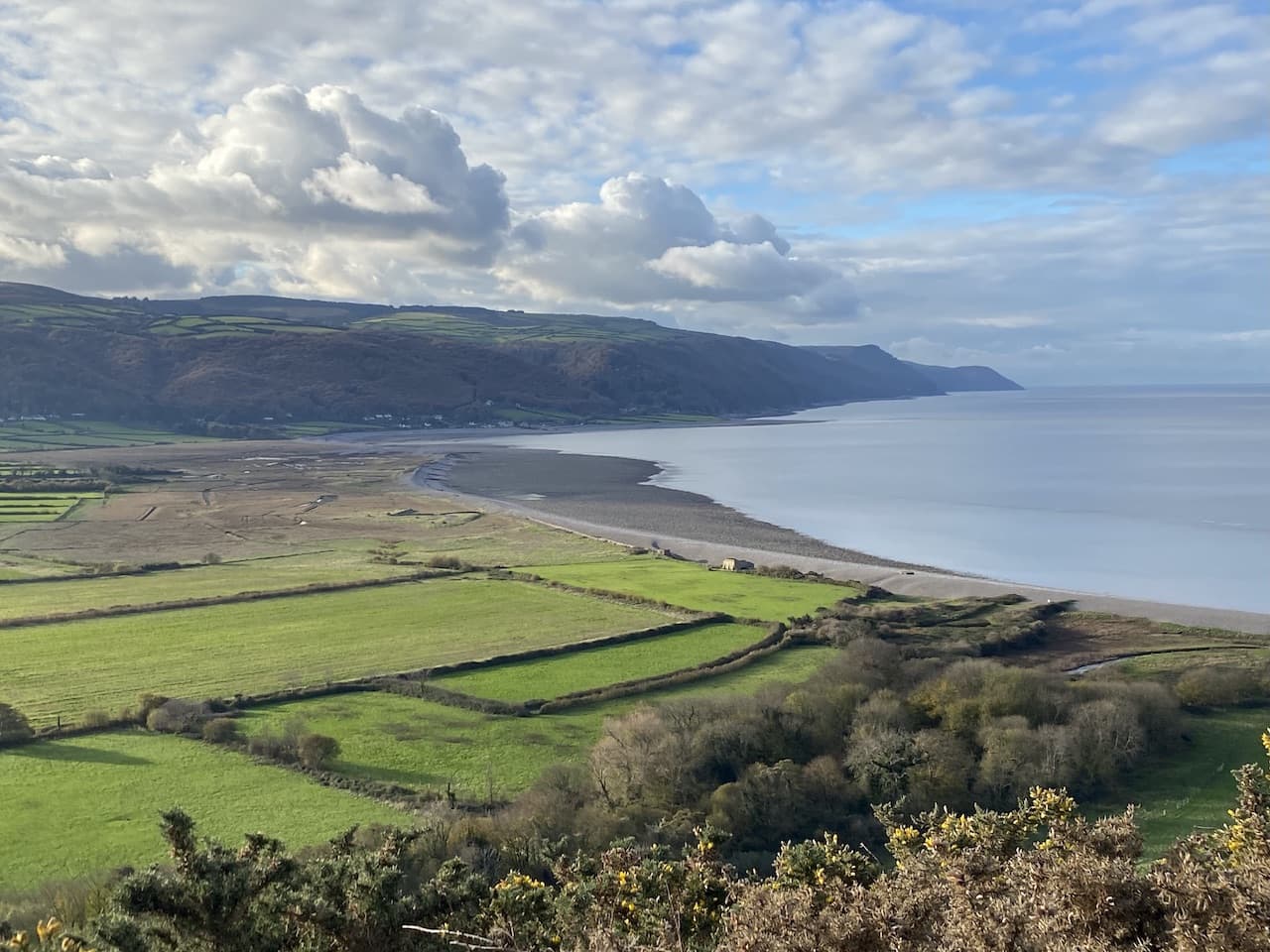
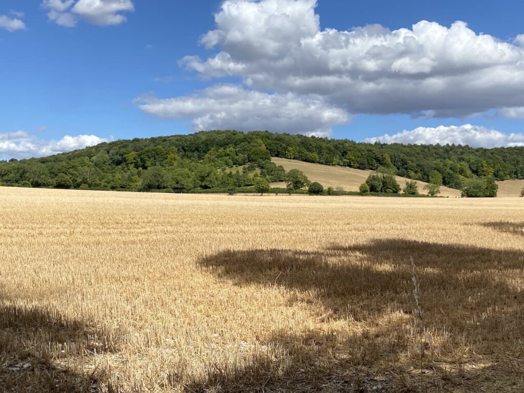
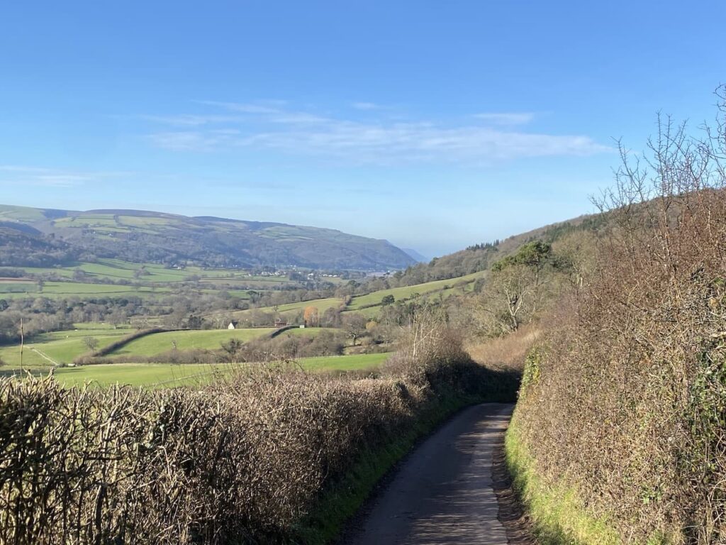
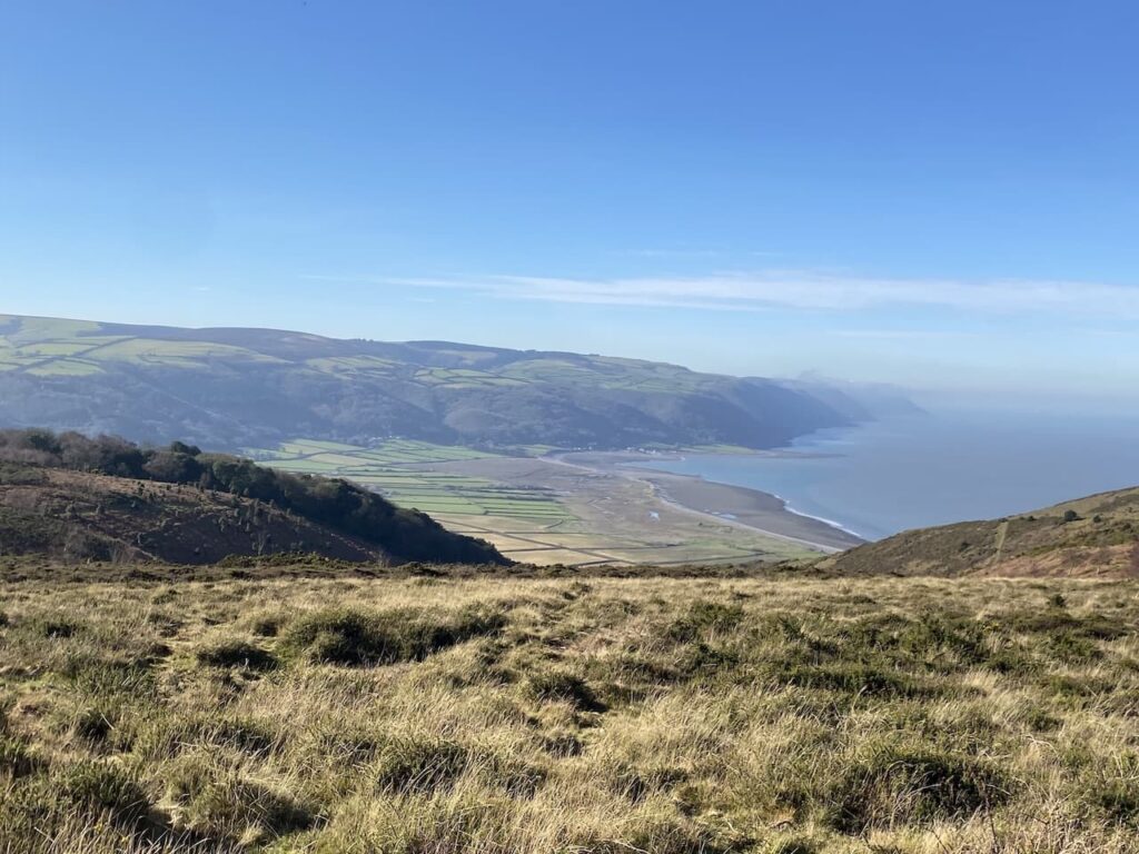
I soon have a cracking view across Bossington Beach towards Porlock. My list of walks this week includes a route around there, but currently I have more walks planned than days available.
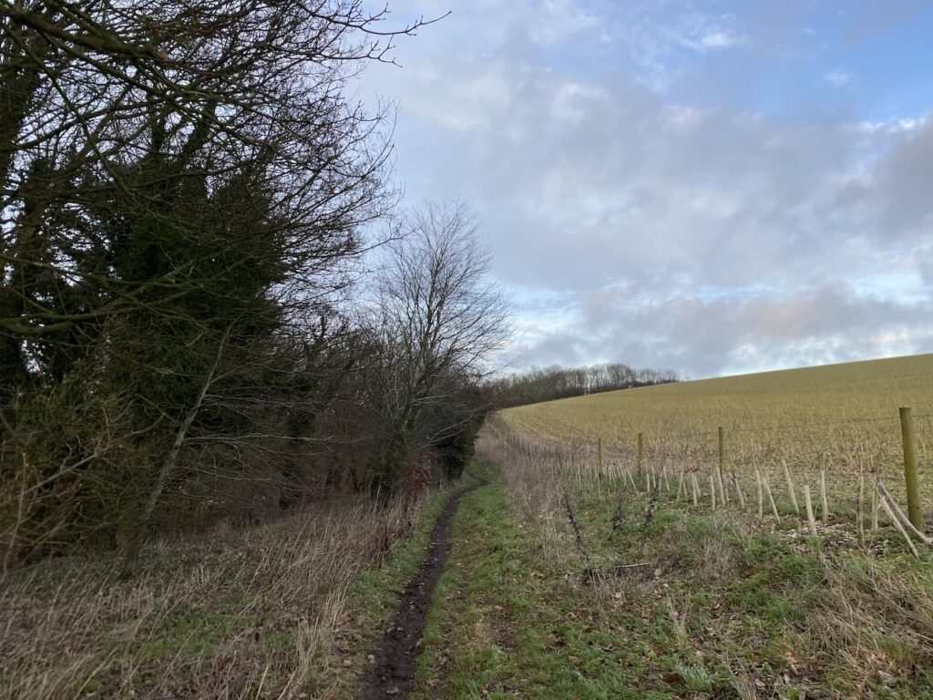
On reaching a junction of paths I turn right to join the route of the South West Coast Path . This is the inland section of this route, the more rugged path goes closer to the coast line.
At a junction of paths I veer left to stay with the South west Coast Path, leaving the path towards Selworthy Beacon.
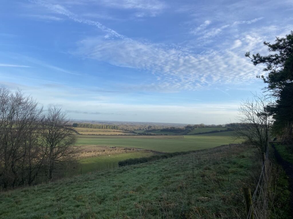
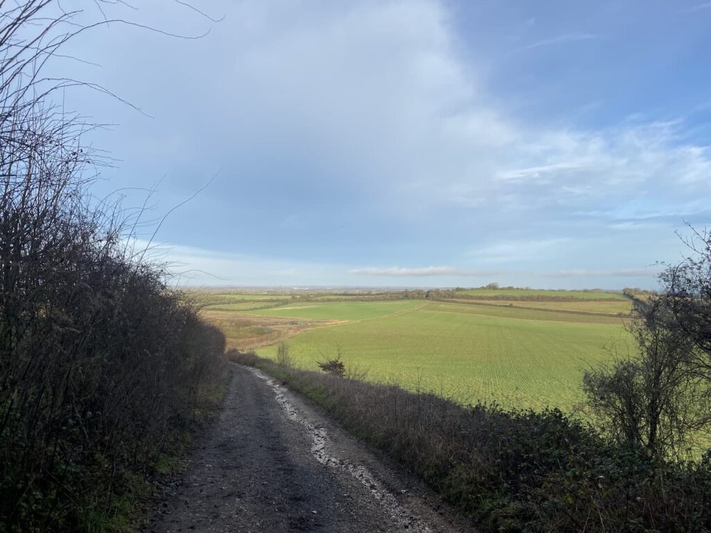
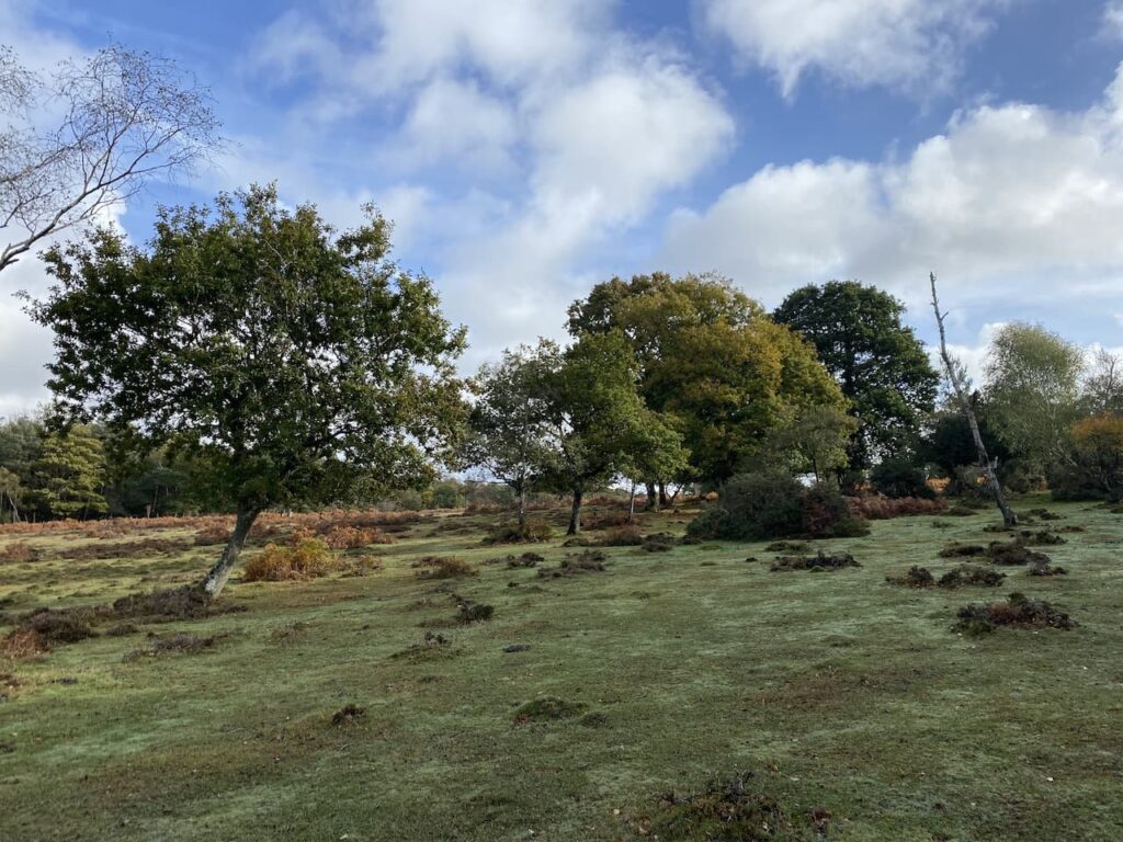
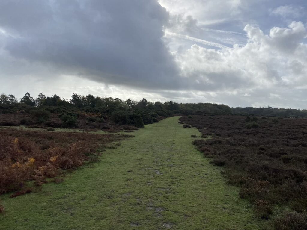
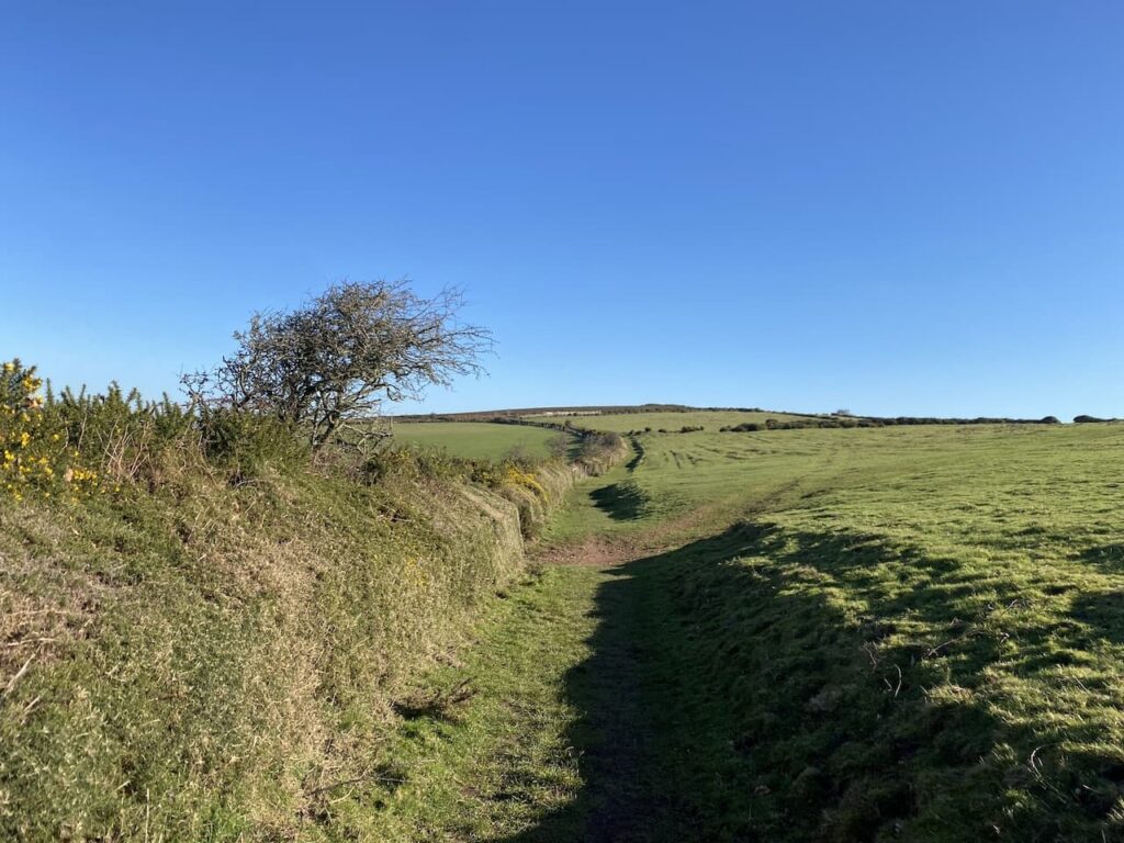
I now stay with this path going easterly towards Minehead. It is a few years since I walked this route and on a day like today it is a real pleasure. The gorse is starting to bloom and there are some cracking views across the Bristol Channel towards South Wales.
After passing through a gate I continue on the path through an area of pasture.
Through another gate I stay with the South West Coast Path heading towards Minehead,
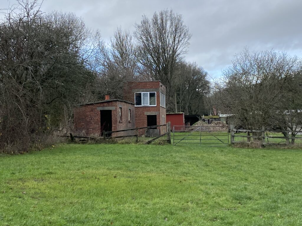
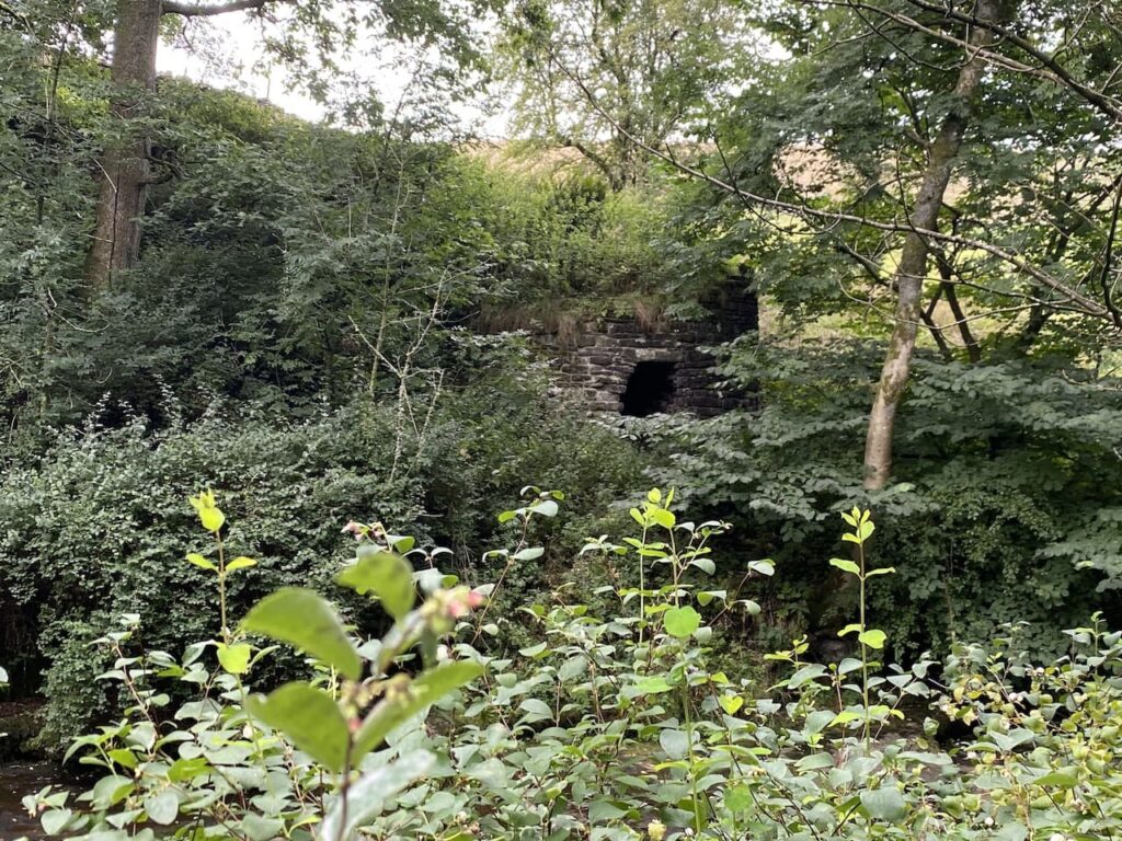
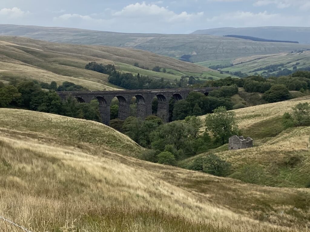
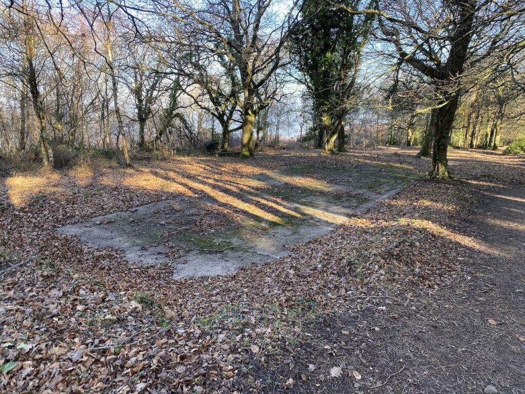
Near a car park the South West Coast Path goes left down Burgundy Chapel Combe. Here I keep straight on in an easterly direction staying on North Hill heading towards woodland in the distance. On reaching the trees I continue straight on and pass concrete bases that housed Nissen huts during World War II. Apparently the American Forces had a NAAFI in one of the huts on this hill.
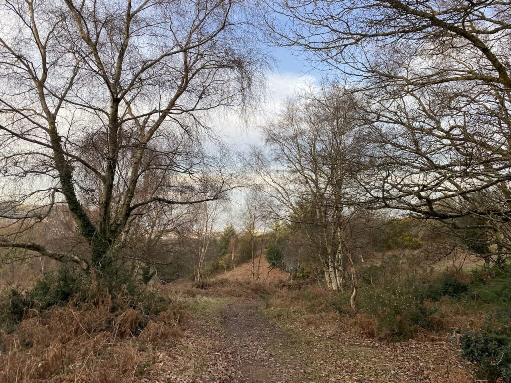
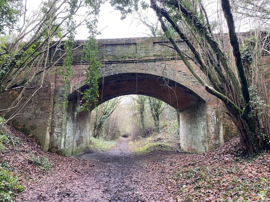
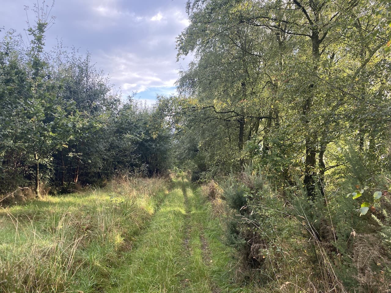
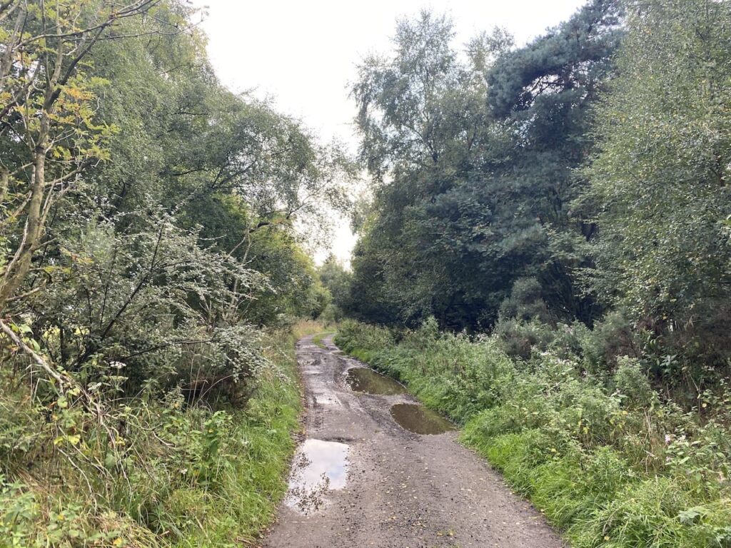
I continue on this path until it forks, here I go to the left and descend to a gate and then continue on the path going steadily downhill. There are multiple paths in the trees descending towards the seafront.
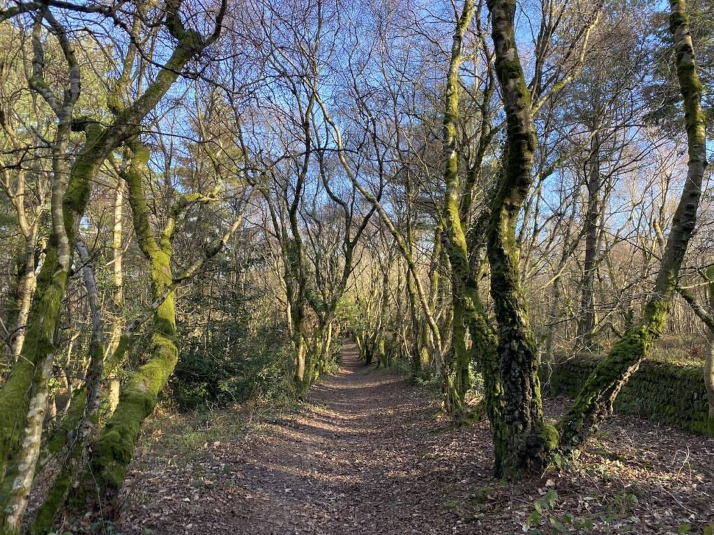
It is difficult to describe a route due to the multiple options. However, if you keep heading downhill and turn towards the east at every opportunity you will eventually end up in Minehead.
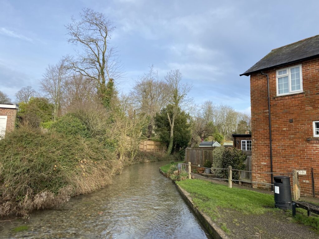
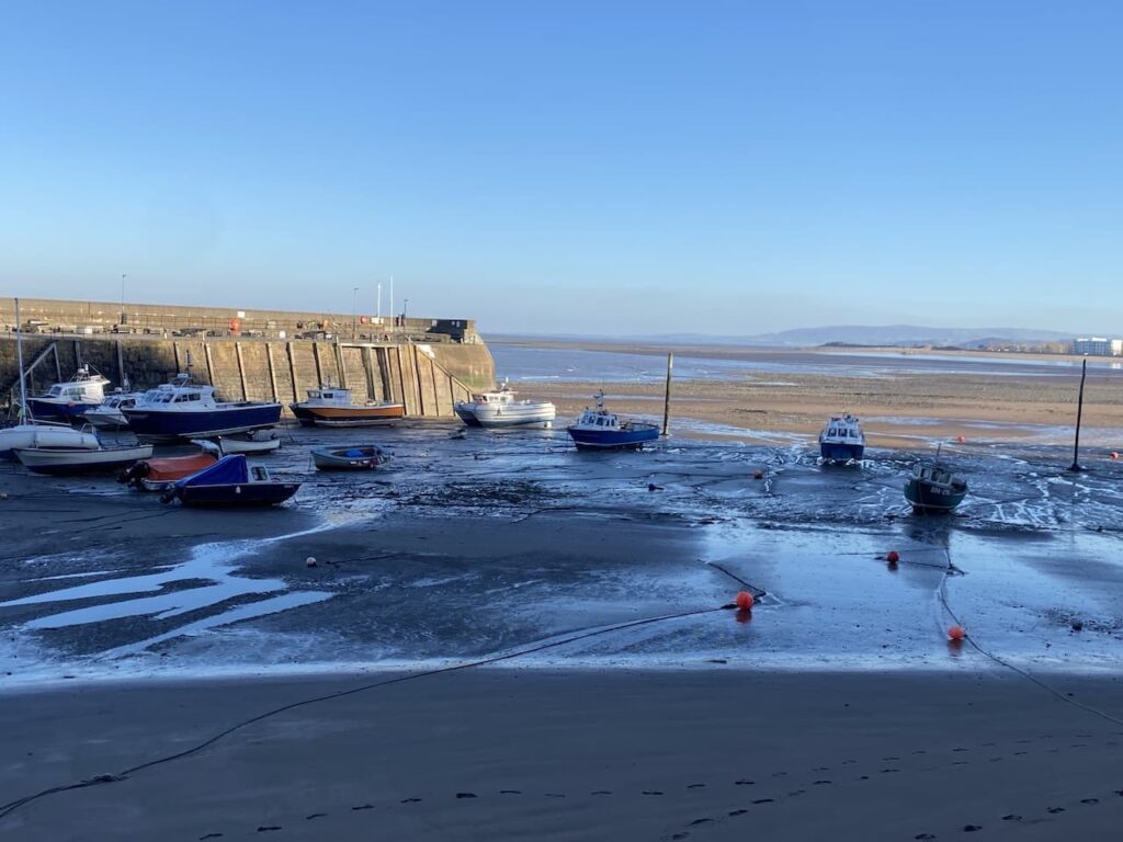
The route I take brings me onto a seafront road, Quay Street and I head towards Minehead harbour. I have visited Minehead on numerous occasions, but whenever I pass the harbour the tide is out. Obviously it must come in, but I wonder why it always disappears when I am around.
From here it is a wander through the streets of Minehead to get back to the caravan site.
You can view this 13.5 mile walk on OS Maps and download the GPX File Here
To follow my walk, you will need Ordnance Survey Explorer Map OL9 – Exmoor
6th February 2023
© Two Dogs and an Awning (2023)
All information on this site is provided free of charge and in good faith and no liability is accepted in respect of damage, loss or injury which might result from it. To the best of my knowledge the routes are entirely on public rights of way or within areas that are open for public access.
Walking can be hazardous and is done entirely at your own risk. It is your responsibility to check your route and navigate using a map and compass.