Today I am heading out for a circular walk I have followed for most of my life. By my early teens I had developed a passion for being out in the countryside and used to take myself off on this route most weeks. People ask if I get bored walking the same paths, year after year. How can you be bored with the ever-changing scenery and seasons? There is always something new to observe.
I start my walk from the Silver Plough in Pitton by turning left out of the car park and left again along The Green, the lane running alongside the Silver Plough pub. I take the second footpath on the right to head uphill and leave Pitton. After going through a kissing gate at the top of the hill I continue past paddocks and through two more gates to follow the footpath into Church Copse.
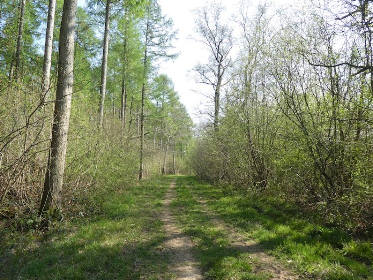
When the footpath joins a forestry track I turn right and follow it to a six-way junction of footpaths.
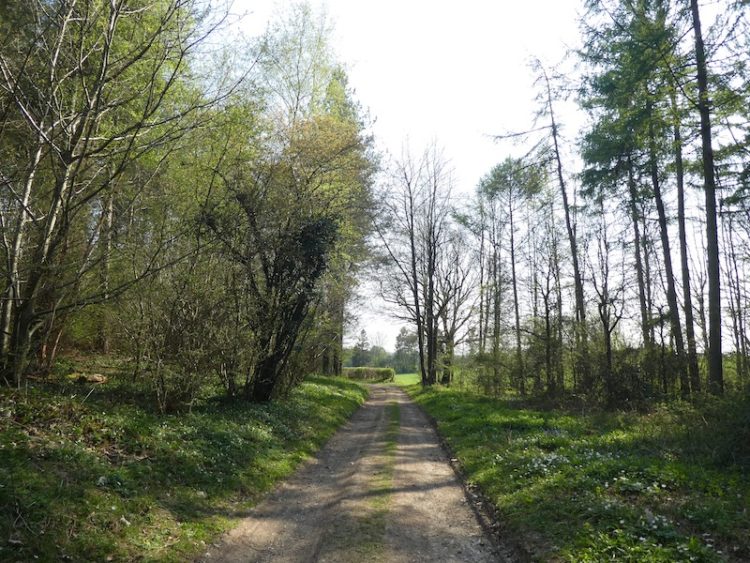
Here I take a footpath on the right that heads diagonally across an arable field.
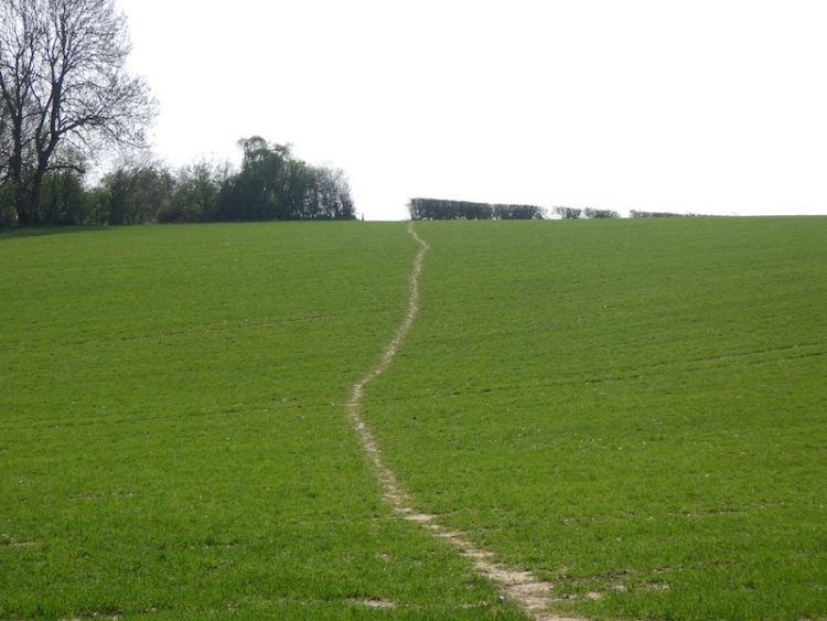
At the hedge line I enter another arable field and continue diagonally across it towards a farmyard.
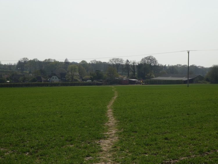
The path goes through the farmyard and leaves by a gate close to a feed silo.
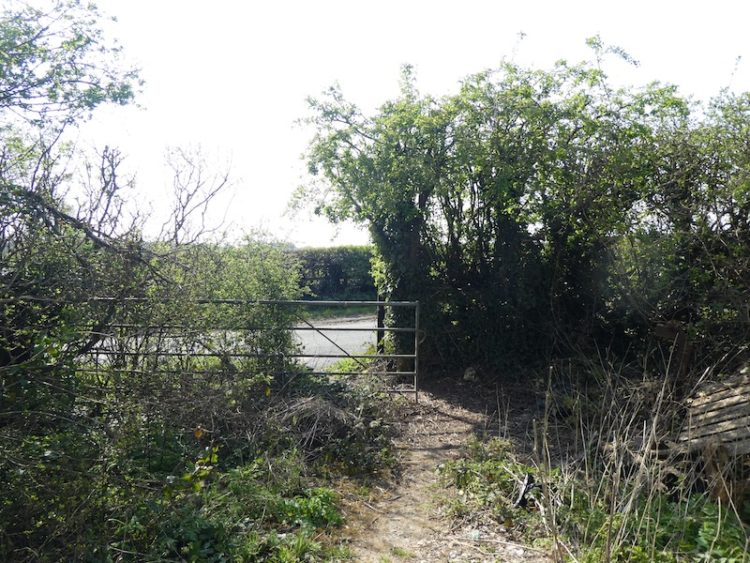
I take care on joining a road and turn right and walk fifty yards and then take a track on the left.
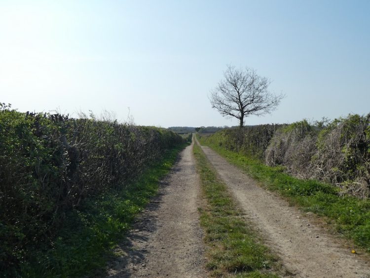
At the end of the track the path crosses an arable field.
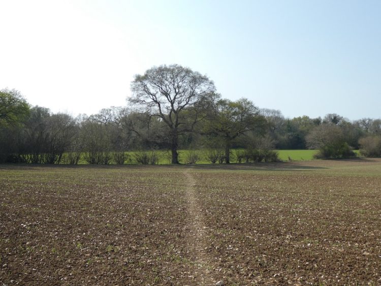
There used to be a stile besides the oak tree but the farmer removed it to make access to the footpath easier. I continue across another arable field to reach a junction of paths on a track.
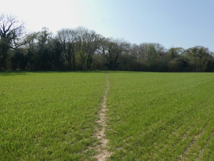
Turning right I follow the track, Cock Road. It derives its name from the location where, in the distant past, traps were set to catch Woodcock. Thankfully this has long since stopped, but it is rare to see a Woodcock around here these days.
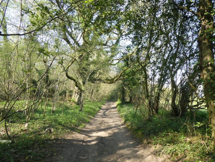
I stay with the track for just short of half a mile to reach a junction of tracks. Here I leave the track and take the tree lined footpath opposite.
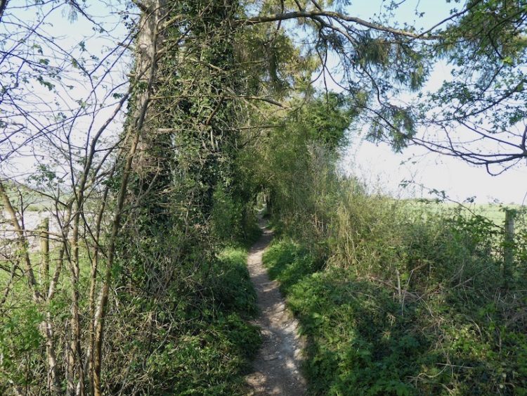
This fence-lined path continues past memorial benches with fine views. In the past this area was known as Strawberry Hill due to the prevalence of wild strawberries. A local resident now in his late eighties told me how as a youngster he and other village children would come up here for a feast.
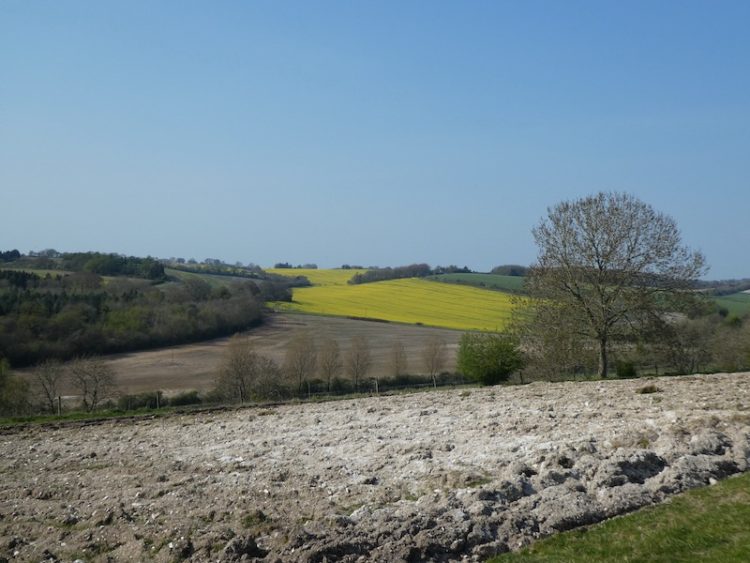
The path now descends through woodland passing behind a cottage before continuing on to join a track. From here it is a short walk through the village hall car park to return to the starting point at the Silver Plough.
You can view this 3 mile walk on OS Maps and download the GPX File Here
To follow our walk you will need Ordnance Survey Outdoor Explorer Map 131 – Romsey, Andover & Test Valley.
Additional Information
For more information on this walk including car parking, amenities, refreshments and detailed walking directions visit my associated Walking Moonraker website.
10th April 2020
© Two Dogs and an Awning (2020)
All information on this site is provided free of charge and in good faith and no liability is accepted in respect of damage, loss or injury which might result from it. To the best of my knowledge the routes are entirely on public rights of way or within areas that are open for public access.
Walking can be hazardous and is done entirely at your own risk. It is your responsibility to check your route and navigate using a map and compass.

Leave a Reply