I have reached the final day of my solo tour with Crosby, tomorrow I will be heading home and I know that Dexter, and hopefully Lynnie, will be pleased to see me. For major parts of my working career I was away from home for much of the week and Lynnie and I became accustomed to living apart. I am sure she found life a lot easier without me being around “making things untidy”.
When I set off on this brief trip I was issued with a number of instructions, including “look after Crosby” and “keep my caravan clean and tidy” so I am expecting a full inspection when I get back home!
It is likely to be a while before I am here again so I decide that today warrants a proper “jamabout” on the Quantocks. Much of my walking is unstructured, but I usually have a rough idea where I am heading. A proper jamabout is a walk with no plan whatsoever, other than knowing the start and hopefully finish. The route in between these two points is subject to whims as I go along.
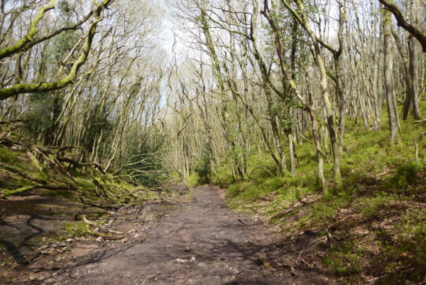
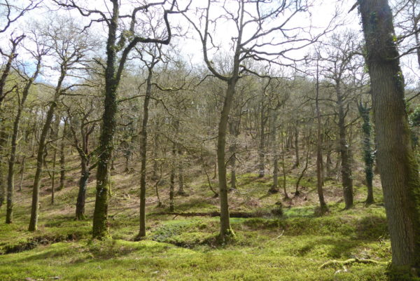
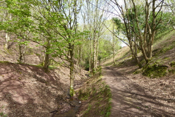
After a short drive to the Quantock Hills I park at Dead Woman’s Ditch. From here I cross the road to follow a path directly opposite that enters the trees on Robin Upright’s Hill. The path heads steadily downhill. It is a number of years since I last walked this path; in those days it was a narrow track. Now it is obviously a popular route with mountain bikers and the track has spread and eroded.
This route heads down Lady’s Combe, it is one I have walked frequently over the years and was part of a regular walk I did with my Collie, Baggins, during the few years we lived in Taunton. It was with Baggins that we first explored the Quantocks and grew to love these hills.
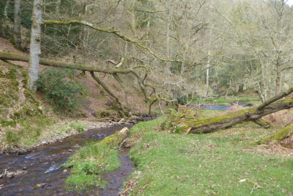
After crossing the ford at the bottom I head down Holford Combe, this is a cracking combe, one of my favourites. It is one of the few places on the Quantock Hills that you can almost guarantee to bump into someone. As I walk down I pass a handful of people, all enjoying this wonderful bit of countryside.
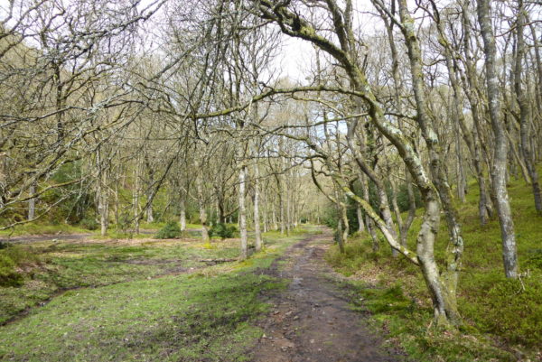
The path leads into Holford where I turn left to walk to the Bowling Green and take the path up Hodder’s Combe. This is another cracking spot and I walk along listening to the bird song and enjoying the spring sunshine.
At the top of the combe there are three options, I take the path to the right leading up Lady’s Edge. Going up I meet a couple of chaps heading down. They tell me they have followed the Coleridge Way from Holford to the tearoom at Bicknoller and then decided to go off piste walking back across the hills. Now they regret having done so without a map. They are clearly concerned that they are lost and miles from their intended route. I give them directions back to Holford and wish them well on their way. I always walk with a map and a compass, even today on hills that are very familiar.
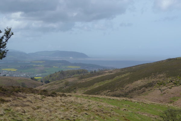
It is a steady ascent up this combe and I push myself to tackle it at a pace so as to get more training for our trip to the Yorkshire Dales in a few weeks time. Arriving at the Bicknoller Post on the ridge I stop to take in the view and get my breath back.
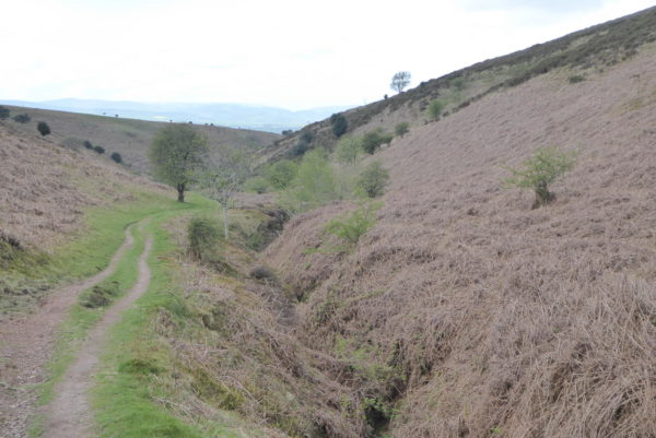
This is another spot with plenty of options; I decide to head down Weacombe Combe, usually bracken-covered, but not this early in the year. It is a stunning combe, on every occasion I have previously walked it I have seen Red Deer. I keep my eyes peeled and then spot a stag up to my right. He decides to cross the combe; it is a wonderful sight to see this magnificent animal cross a hundred yards in front of me. Unfortunately he was far to quick for me to get picture.
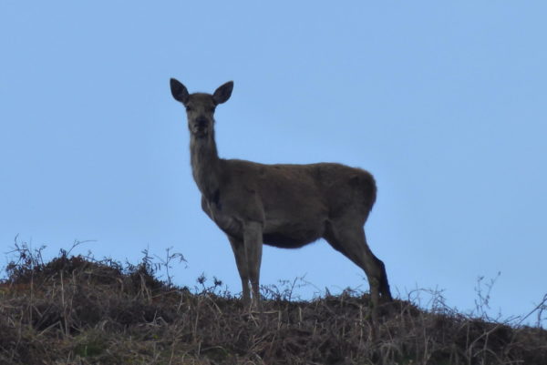
Then on the horizon I spot a hind standing, watching me proceed below her.
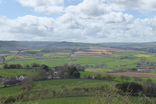
At the bottom of the combe I turn left to join the Coleridge Way with farmland to my right.
I stay on this track until I reach Bicknoller Combe where I turn left and head up on the Macmillan Way. This is another steady ascent and I am decidedly warm with the sun shining and being sheltered from the wind.
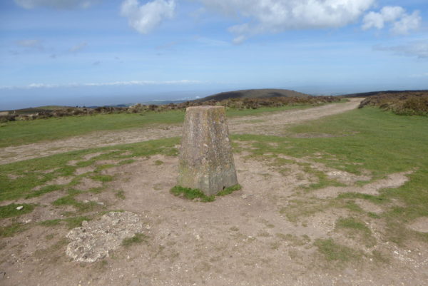
Reaching the ridge I turn right continuing on the Macmillan Way, On this exposed ridge the wind has a chill, so I am soon reapplying the layers I have just taken off. At Halsway Post I continue on the Macmillan Way and then turn left towards the trig point at Black Hill. This is a trig point I have passed many times.
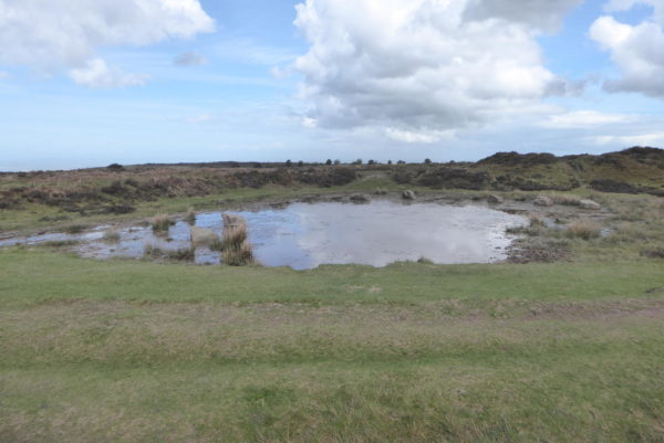
From the trig point I head on to Wilmot’s Pool, I have walked by here several times and cannot recall seeing the strategically placed stones around the pond. It would appear they are there to prevent folk driving off road vehicles through the water. It is a pity such measures need to be taken to avoid the countryside being scarred by inconsiderate use.
I now follow the track back to Dead Woman’s Ditch. My jamabout has covered just over nine and a half miles and as always walking these hills has been a real pleasure. Our travel plans are set for the next few months so I am unlikely to be back before the autumn.
To view this 9.5 mile walk on OS Maps Click Here
To follow this walk you will need Ordnance Survey Explorer Map 140 – Quantock Hills & Bridgewater.
26th April 2018
© Two Dogs and an Awning (2018)


You can see here, why the Quantock Hills are possibly my favourite. I recognise most of the route you followed. It’s quite a thought, to consider that some people will still head out without even a map. I spotted the pool on my last walk there, having not been to it before. I decided to give it a miss as kids were happily playing there (this was sometime in April).
Enjoy the Yorkshire Dales. I also hope to get there later this year.